The bordermarkers of the Pyrenees : all my trips  | |
| - 22 august
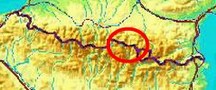
2007 - Noarra |
 |
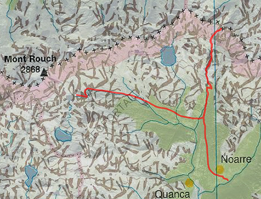 |
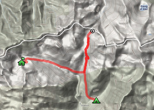
Trip-summary. Kml (opens in Google Earth: esfr-trip-track-20070822.kml Part of 3 days "bm-backpacking" (out of 6) NE of Andorra, covering bm423-426. Day 1: from Refuge Mont-Roig to Port de Tavascan (bm423), ending up in Noarra. The previous day I have climbed from Esterri d' Aneu in rainy & cold weather to refuge Mont-Roig. Weather: gradually improving from cloudy to sunny. |
 |
According to my watch: En route: 7.41uur Time walked: ± 7 uur Cum. elevation gain: 623m Cum. elevation loss: 1345m Total elevation: 1968 Max. altitude: 2289 Min. altitude: 1536 |
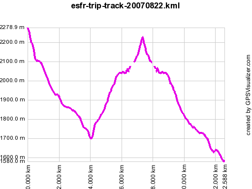 |
According to gpx-view Distance : 12.565 km Altitudes : -Maxi 2279 m -Mini 1580 m Denivellation : +535 m -1164 m |
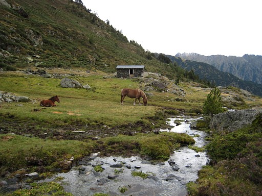 |
From Refuge Mont-Roig, I follow the HRP-cairns in the direction of Noarra, descending along a stream. |
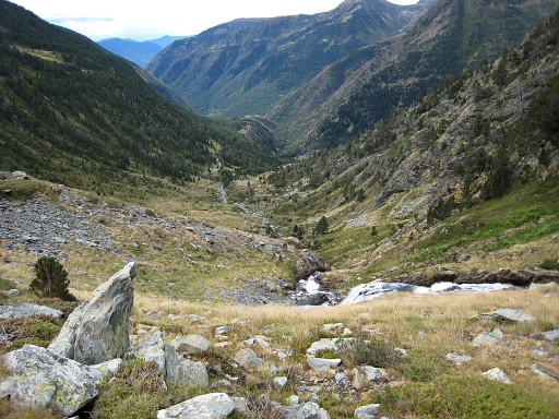 |
When having arived at the stream Riu del Port, there's a dirt-road at
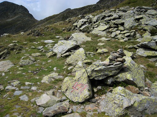
the east-side which descends to the right to the hamlet of Noarra. At that point I find a red/white waymarking to Port de Tavascan. It's -say - 500 meters climbing in ± 2 hours, first on the dirt-road, then on a mountain track. This picture: on my way to the Port, looking back. |
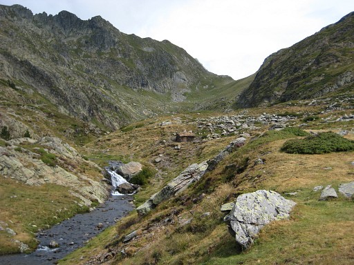 |
After passing a lake, there's the final climb to Port de Tavascan. |
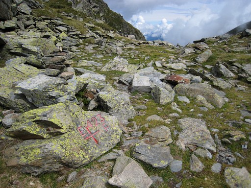 |
with bm423 (coordinates: N42 43 22.6 E1 14 34.2 H2220 (watch H2204)) |
 |
Bm423 |
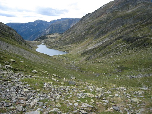 |
I return, again along the lake. Having reached the dirt-road, the red/white waymarking follows a forest-trail to Noarra. |
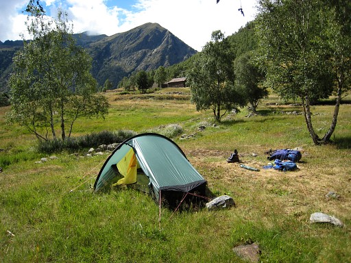 |
Noarra is a lovely hamlet. I find this bivouac-spot beyond the village, close to the bridge over the stream. The next day will be used to get beyond Refugio de Certascan to the lake of Laguna Romeda de Baix (or Estang de Romeda Baix). |
|
| |