The bordermarkers of the Pyrenees : all my trips  | |
| - 4 april
2008 - Two trips on one day |
 |
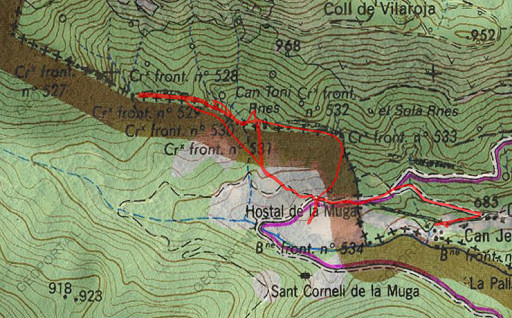 |
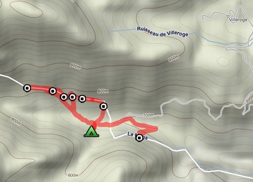
esfr-trip-track-20080404.kml (click to open in Google Earth or copy link to Google Maps) Part of a 8-days backpacking-trip in the eastern Pyrenees with Jan-Willem, roughly covering the area bm528 - bm575 and bm600 - 601bis. Day 2: exploring the bordermarkers around Hostal de la Muga in two trips, in fact 3 trips. |
 |
For explanation of the gps-coordinates and other cartographic backgrounds: see my cartography page |
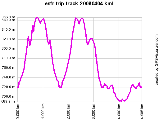 |
According to gpx-view Distance : 4.902 km Altitudes : Maxi 866m Mini 690m Dénivelées : +312 m -303 m (camping spot H. de Muga: 720 meter) |
 |
Trip 1 (7.30-10.30) solo (402m↑, 403m↓, Hmax 891m, Hmin 718m) I climb uphill via a small meadow along the dirtroad to the W (± 200m from Hostal de la Muga). That's a climb in the direction of bm531 but I missed that one, ending up too high. I descend to the stream (guided by gps) and to bm530, a bit higher. |
 |
Then
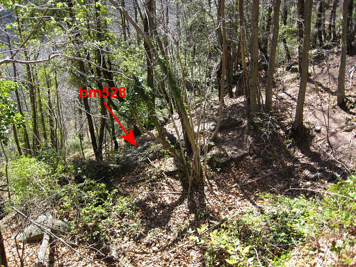
in search of bm529. I can't find it and I continue to the location of
bm528 which is clear (reading the Proces-Verbal and using the gps) but
the bm itself is unfindable. I go back and now I do find bm529 |
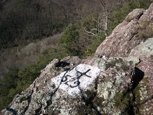 |
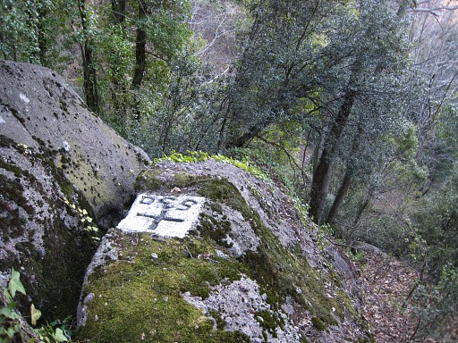
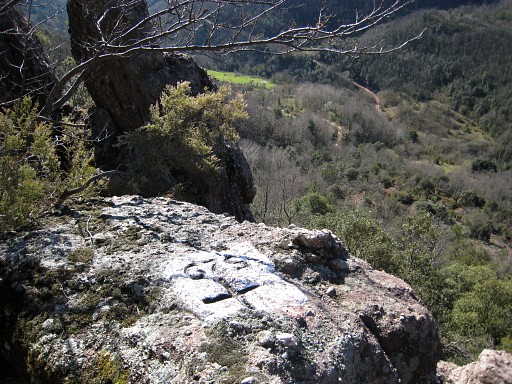
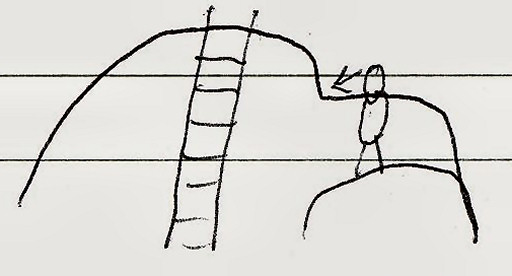
Bm529 |
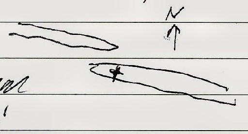 | This is a plan of the location of bm529: where two rockridges come together, it's on the southern one, indicated with a cross. |
 |
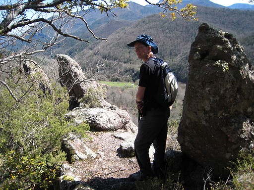
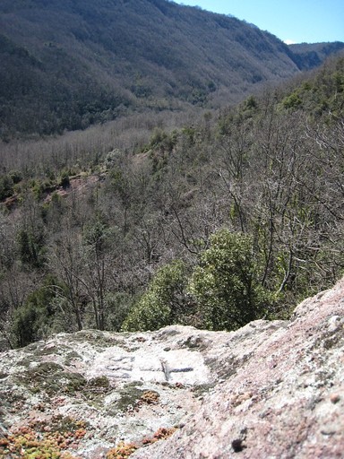
I continue and by chance arrive at bm331, high above that boulder which only - so it seems - can be reached with a ladder. |
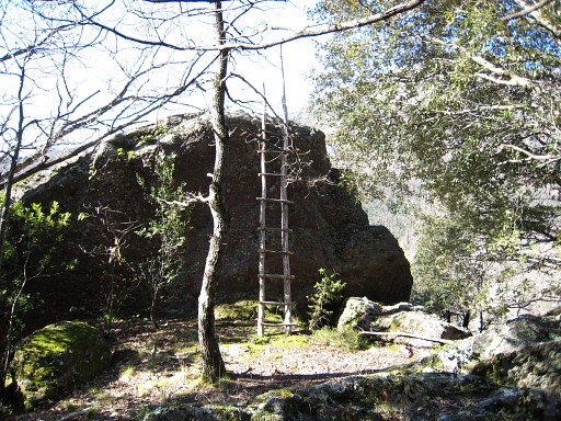 |
Bm331, backside with ladder. I return to our campingspot, to Jan-Willem. |
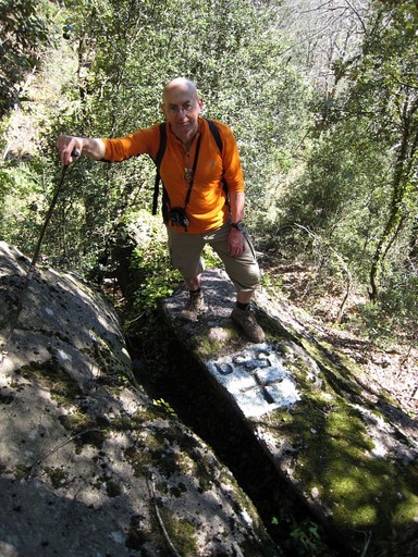
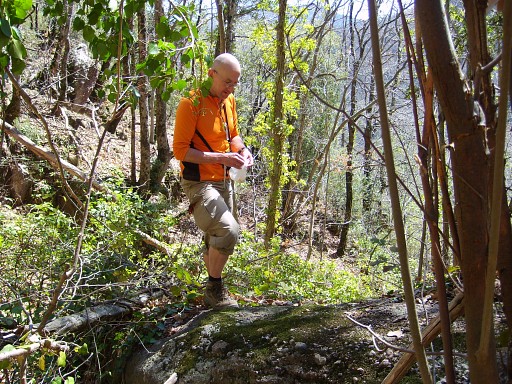 | Trip 2: 12.30-16.15 (en route ± 3.45, Hmax 902m Lmax 721m ±400↑ 400↓ 800↑↓) Now together, Jan-Willem and me, uphill. We arrive near bm529 at the borderline. On compass-reading descending to the location of bm528 near the stream. We search together and now I find bm528! This picture, me standing on that long flat rockstone, at the foot of the cross itself, ready to chalk the engravings. |
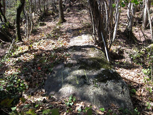 |
Bm528, not painted like the other crosses around. |
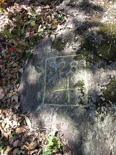 |
Bm528 But chalking helps. |
 |
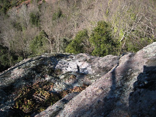
Bm528, now from some distance |
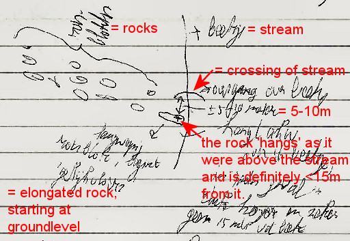 | And this plan |
 | We climb back - steeply - to the rockridge with bm529, with Jan-Willem |
 |
We descend back along the ridge and 'do' again bm530, now with me. |
 |
And continue (on compass-reading) to again: bm531. |
 | What if you don't have a ladder? Perhaps you could scramble your way up like this. |
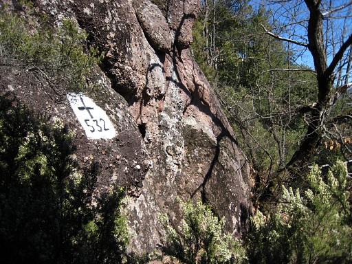 | From the ruin behind bm531, there's a - white waymarked - trail leading swiftly to bm532. |
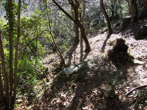 | If you continue on that trail, you will cross a stream and 1. come across bm533 (like we did) or 2. don't spot bm533 and thus have crossed the stream below bm533. In case 2, you have to climb ± 20 meter along the stream to bm533. From bm533 a descent back to Hostal de la Muga along a vague and not waymarked path. |
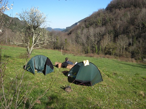 | Back at our tents, we improvised a backchair. |
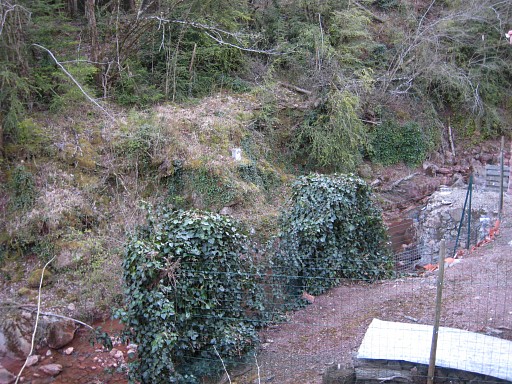 | In
the evening - after dinner - we make a stroll on the French side, descending to
the fenced terrain with a few houses. We arrive at the two houses
besides the Muga and spot in de distance on the other bank: bm535 |
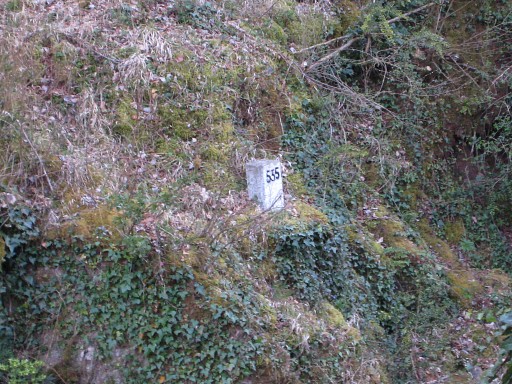 | Bm535, zoom-in |
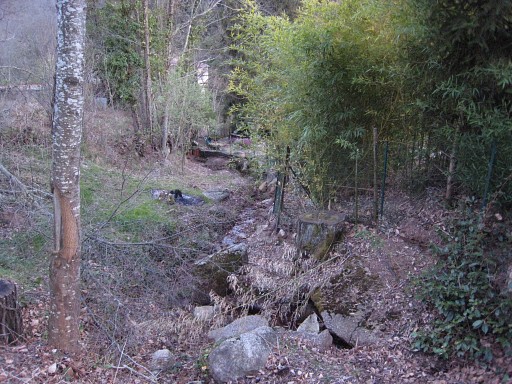 | Between the 2 houses there's a little stream and a possible access to the Muga without trespassing private property. |
|
| |