|
The
bordermarkers of the Pyrenees : all my trips
|
|
| -
wednesdag 18 march
2009 - Guided by Jean to bm542  previous
trip next
trip previous
trip next
trip 
|
 |
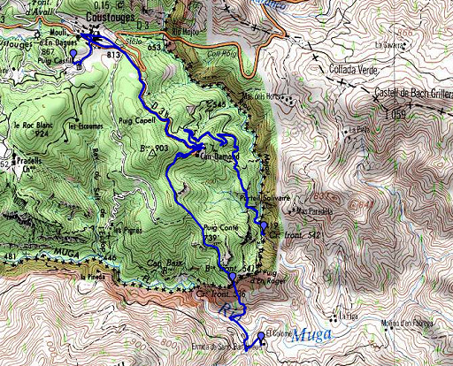 |
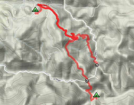
esfr-trip-track-20090318.kml (click to open in Google Earth or copy link to Google Maps; click right on this link to download gpx-version) Part of a 5-days trip to the eastern Pyrenees. Day 3: an appointment with Jean Iglesias, the local 'connaisseur' of the bordermarkers around Coustouges. Target: bm542 |
 |
For explanation of
the gps-coordinates and other cartographic backgrounds: see my cartography page En route approximately from 08.30 to 17.00 (including car-transfers and lunch with Mr and Mrs Iglesias. |
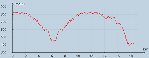 |
According to visugpx - distance : 18.7 km - cum. elevation gain : 681 m - cum. elevation loss : 1083 m - total elevation: 1764 m - altitude maxi : 826 m - altitude mini : 390 m - altitude average : 698 m |
 |
After
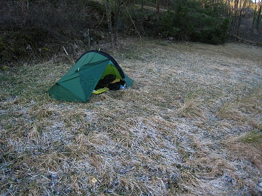
a freezing night behind the cemetary, I meet in the village at
08.45 Jean Iglesias, his son Marc and his colleague Jean. |
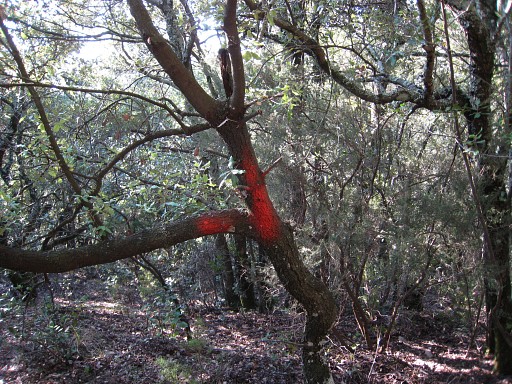 |
With a 4x4 we drive to Can d'Amunt, descend on a bending dirtroad and park the car on a bend of the road. We enter the forest on a well orange-waymarked trail. They tell me that these trails are not on the maps. They are being used and maintained by hunters I remember this trail as quite straightforward despite the branches of it to left or right which migth be orange-waymarked as well. We pass a few signs with "poste" on it. |
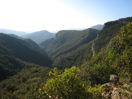 |
In between, a view forward into the valley. |
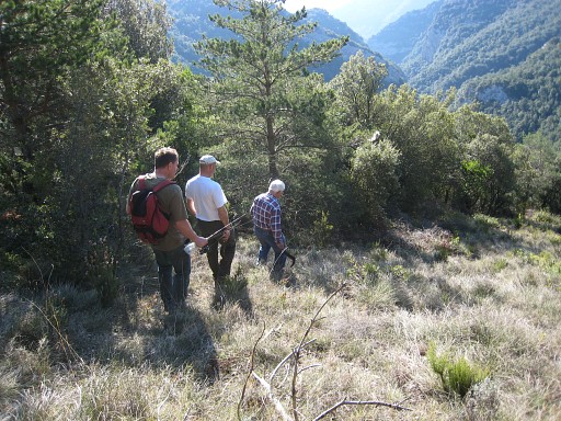 |
Then the trail reaches a long stretched open strip - about 10 meters wide - which descends. At the end of the strip, the trail continues in the forest. It descends further steeply along a rockwall and finally reaches the Rio Mayor. That rockwall is in fact the north-side of a half-bowl-shaped rockwall along the river. |
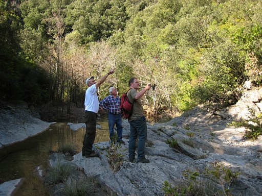 |
We are now in the riverbed of
the Rio Mayor. My guides are true hunters and recount exciting
hunting stories, watch for game traces and are very
attentive to all kind of features in the landscape. |
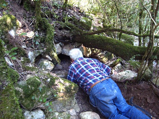 |
While walking they maintain the hunting trails with their machetes. Their language is a mix of catalan and french. Here Jean Iglesias investigates a hole and concludes that it was once a watertunnel as part of a waterdriven mill upstream. |
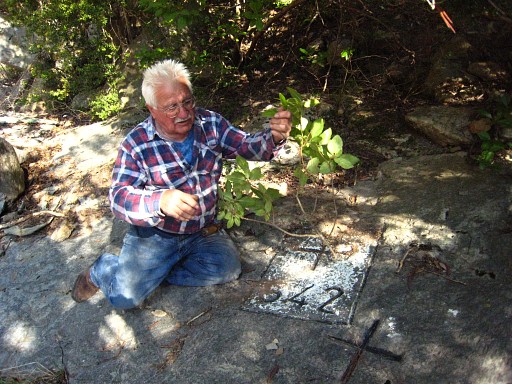 |
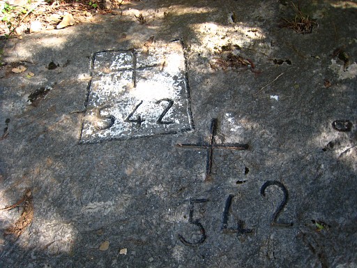
It takes about 10 minutes to follow the stream downstream to reach bm542 on the east-bank. Jean Iglesius first cleans the surface with a branch. Bm542 is a special case: cross and number are engraved twice. Reason unknown. |
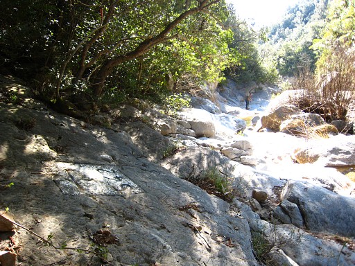 |
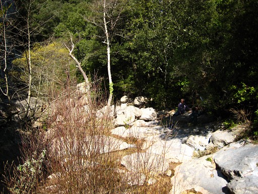
We're looking downstream, Marc takes advantage of the trip to do a bit of fishing. |
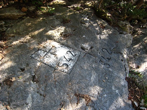 |
Bm542 |
 |
Bm542 once again |
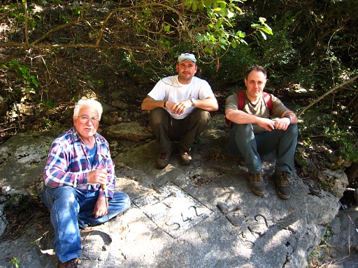 |
From left to right: Jean Iglesias, Marc's colleague Jean(?) and Jean Iglesias' sun Marc. |
 |
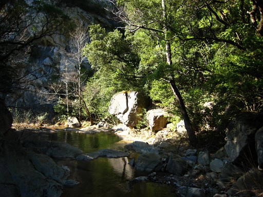
Taken a bit downstream, looking to bm542. |
 |
We return and beyond a bend to the north, just beyond a large rockwall at the west-bank, Jean Iglesias explains that at this spot you can climb in the direction of bm541. That's the trail he described last year on 7 april 2008 . See hereunder. This picture shows that spot, the rockwalle visible at the left. |
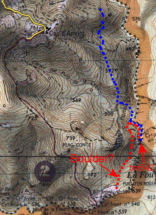 | Description of this alternative access (red dotted) starting from high up - near bm541 - from the "Poste" where Jan-Willem and I camped on 5 april 2008 Descend a bit through the forest to a large 'falaise' (boulder), pass it at the left side and follow the dry stream-bed downwards. But somewhere there's a trail ( le 'sentier des muliers"?) branching off to the north-east and reaching the Rio Mayor just to north of that rockwall mentioned above. That implies - I think - that that 'sentier des mulets' crosses the north- ridge of the valley of the dry stream and on the other side reaches the Rio Mayor in the final descent. Having reached the Rio, it's approx. 5 minutes to the south along the river to bm542. The blue dotted line is today's route from the dirtroad where the car was parked. |
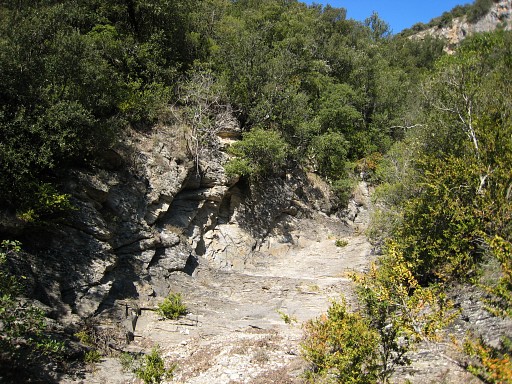 |
The dry bed of a river coming from the hills ahead merging here with the Rio Mayor. |
 |
We're
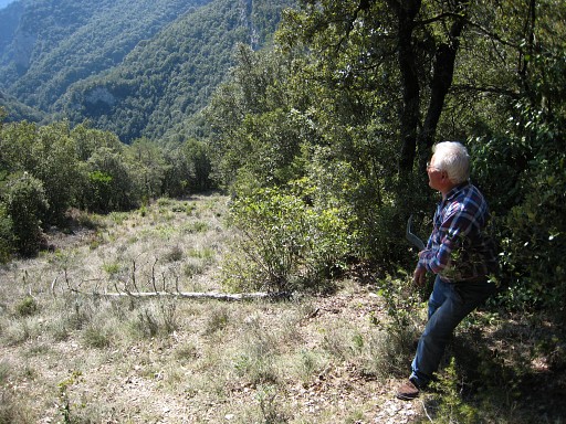
back at that open strip an Jean is resting a while. He's getting
older and climbing gets tougher. He suggested jokingly that he
will charge 5 euro km for a guidance like this in the future. He reveals something about his life. His father fled to Spain in 1940 to evade military service. He raised a family at the farmstead of Mas Bertran not far from here. In 1960 the family was allowed to return to Coustouges. Jean himself then had to learn french and finished his working career at the Fargo Golf nearby. He retired at 61 and is now 66 years old. . |
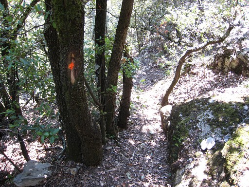 |
Back to the car, helped by the orange waymarks. |
 |
"On a gagné un Ricard" (we have deserved a Ricard) says Jean and we return by car to his home. |
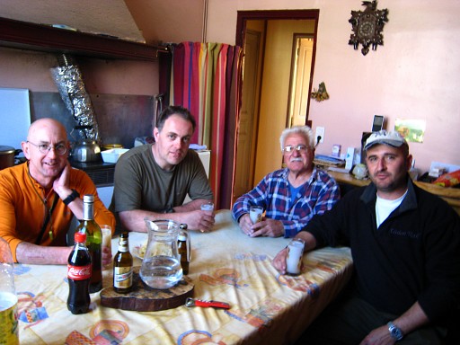 |
After the Ricard Marc and his colleague leave and I'm invited for lunch. Mr. and mrs Iglesias are very hospitable and nice. |
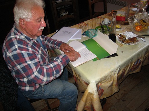 |
Jean tells me that he regularly guides people to the bordermarkers. He likes that. Among them there true bm-seekers who want to find all esfr-bordermarkers. They are all French, no Spaniards or other foreigners like me. |
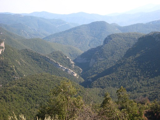 |
Then I'm brought by car to Can D'Amunt and have a last view on the valley of the Rio Mayor. Jean tell's about the old days when the area was more populated and festivals were celebrated in now ruined farmsteads. |
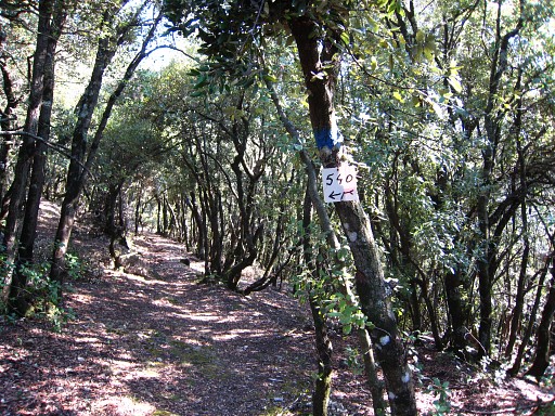 |
Then I walk from 15.15 to 17.00 to the chapel of Saint Bartomeu. Along the trail there 's that bifurcation to bm540 or bm541. I take bm540. That trail is easier then the trail to bm541. Probably it's nicer and easier to get to bm541 by first walking to bm540. |
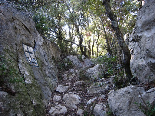 |
Passing once again bm540 |
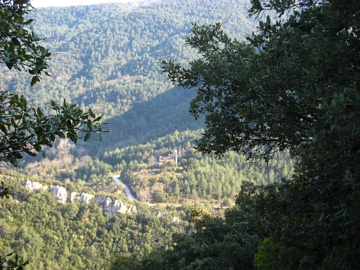 |
The chapel of Saint Bartomeu awaiting me in the distance. |
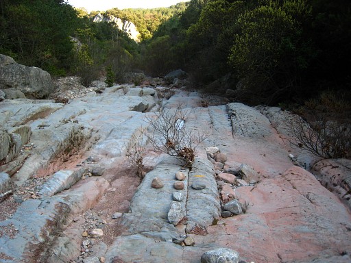 |
Regarding the crossing of the Muga:
you need to follow the Muga for ± 50 meters before the trail
continues on the other side. There's a yellow waymarking in the riverbed. |
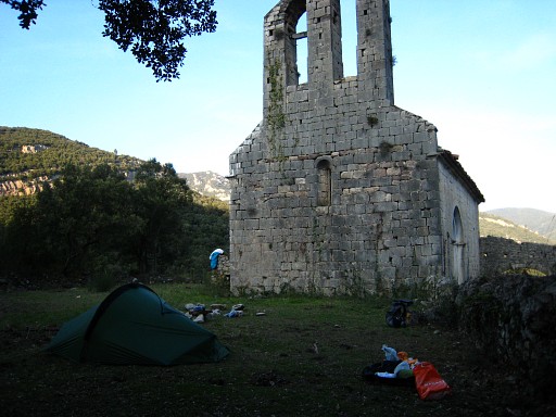 |
And again camping on this beautiful and spiritual place. I feel content and grateful with todays meeting with Jean Iglesias, his guidance and their charming hospitality. The next day I will walk from the chapel to Massenet de Cabrenys, a nice and quiet trail, partly on the GR11. There I take de bus to Figueres and sleep in a hotel. |
 previous
trip next
trip previous
trip next
trip 
|
|
