The bordermarkers of the Pyrenees : all my trips  | |
| - tuesday 17 march
2009 - Bm536 excavated |
 |
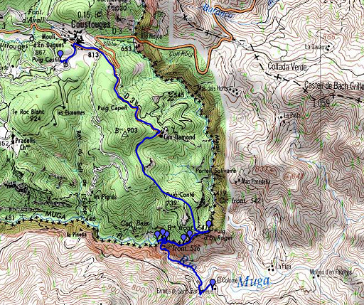 |
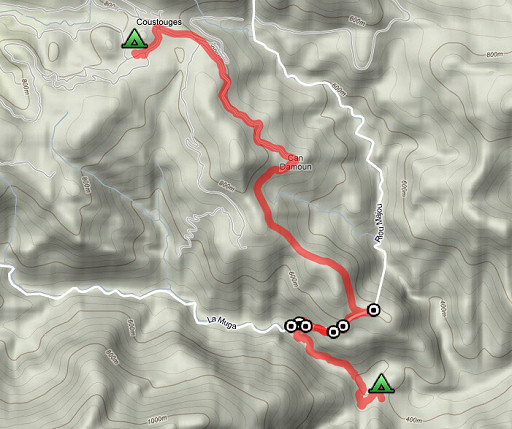
esfr-trip-track-20090317.kml (click to open in Google Earth or copy link to Google Maps; click right on this link to download gpx-version) Part of a 5-days trip to the eastern Pyrenees. Day 2: main target: returning to the location of bm536 and find it. Then to Coustouges for my appointment with Jean Iglesias the next day. |
 |
For explanation of the gps-coordinates and other cartographic backgrounds: see my cartography page En route from 10.00 to 16.30, walking 5 ¾ hours. According to my watch: Elevation gain: 872m Elevation loss: 464m Total elevation: 1336m |
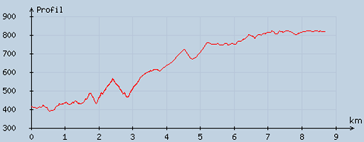 | According to visugpx - distance : 8.84 km - cum. elevation gain : 688 m - cum. elevation loss : 283 m - total elevation: 971 m - altitude maxi : 823 m - altitude mini : 391 m - altitude average : 586 m |
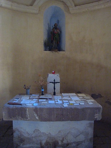 |
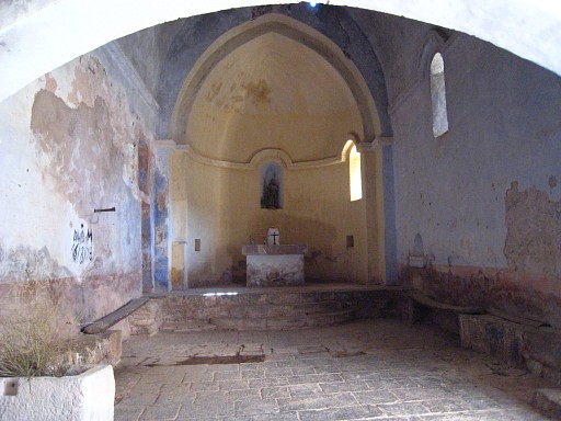
Looking around in this intriguing chapel Saint Bartomeu. Little prayers spread on the altar. |
 |
|
 |
From
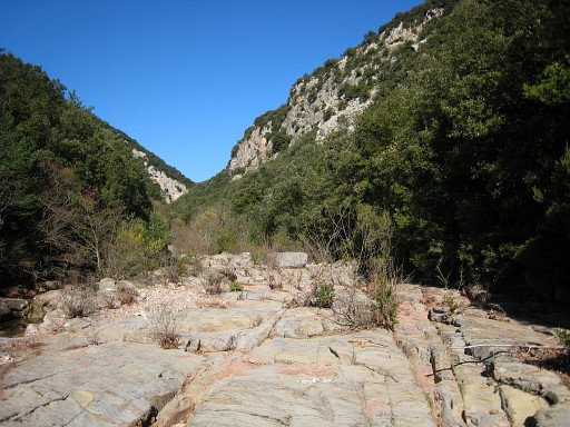
the chapel down to the road and a bit further to the west, descending
along a yellow waymarked trail to the river Muga which is dry at that
point. First I try to follow the riverbed upstream. But then I decide it's better to take the trail along the river which Jan-Willem and I followed in 2007. That trail reaches - after some climbing and descending - the edge of the riverbed again. I continue in the riverbed itself as long as it's possible. A bit before continuation is no longer possible, I see a trail starting at the east-side of the riverbed. Afterwards I realize that this must be the continuation of the earlier trail. |
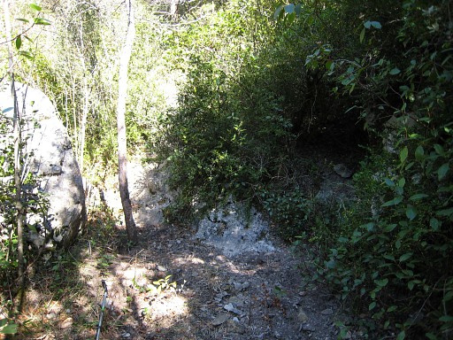 |
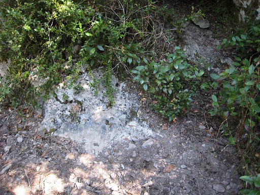
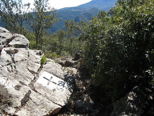
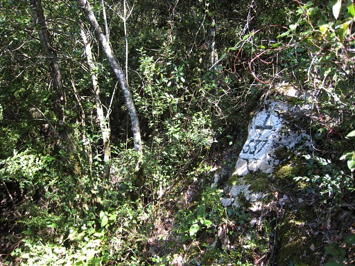
That trail climbs, becomes unclear but brings me finally to bm538! I remember from the Procès-Verbal something of a trail passing along bm538 in the direction of the Muga. From 538 I follow our route from 6 april 2008 , to the dry stream, bm537 and - on this picture - bm536. Bm536 is easy to find because of the white arrows pointing at it and because it was half uncovered. |
 |
Close-up |
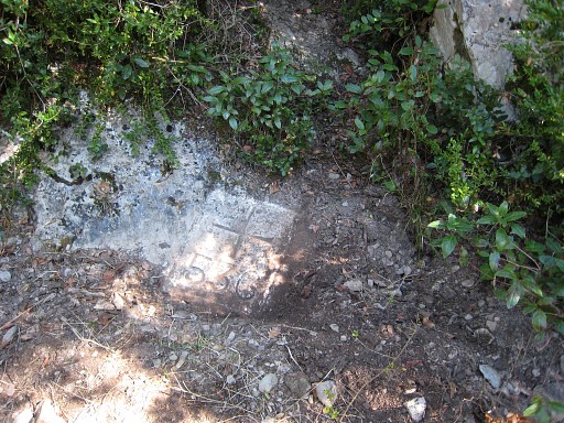 |
After some excavating |
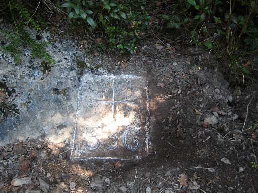 |
And after chalking |
 |
I return on the same route (the trails seeeming more overgrown then last year) and climb further to bm539. Then I realize that I forgot to photograph bm537 and bm538. I return. |
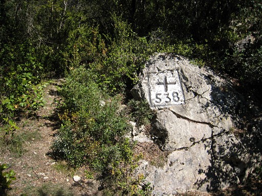 |
Bm538 |
 |
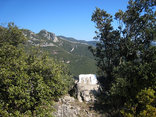
Bm537 I try to return to bm538 more directly with help of the gps. I succeed but first end up on the Spanish side, beneath bm538. The route via the dry stream is easier to orientate. |
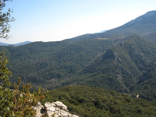 |
Looking down into Spain, the chapel visible in the deep. |
 | Bm540 |
 | Bm541 |
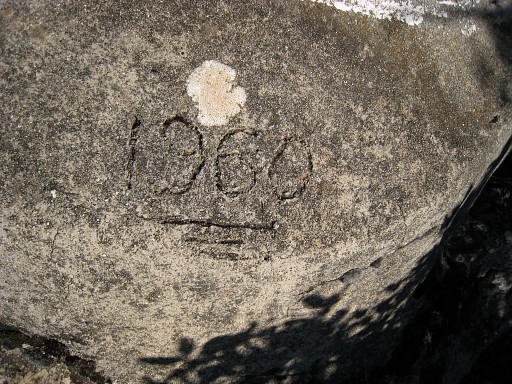 | In the concrete base, 1960 is engraved, apparently the year of a reconstruction. |
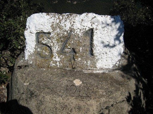 | Bm541, close-up Taking a break. |
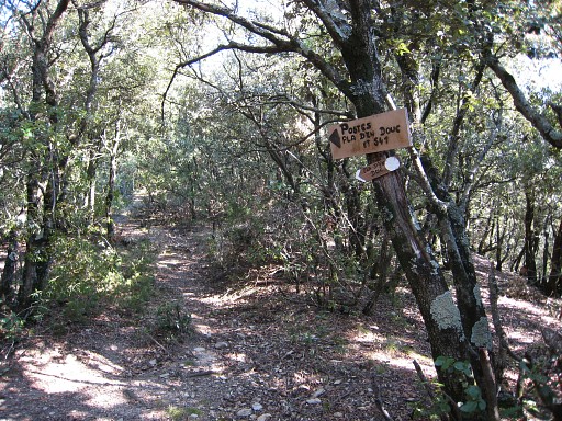 | And continuing to Can d'Amunt in ¾ hours. |
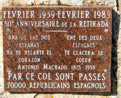 | And to Coustouges in ½ hours. There's a monument remembering the influx of Spanish refugees in 1939. |
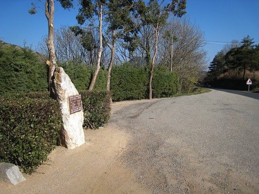 | along the main road. |
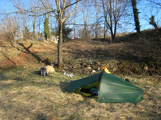 | And I pitch my tent behind the cemetary of Coustouges, a quiet place. |
|
| |