|
The
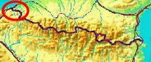
bordermarkers of the Pyrenees : all my trips
 |
|
| -
1 april
2009 - The conference-island |
 |
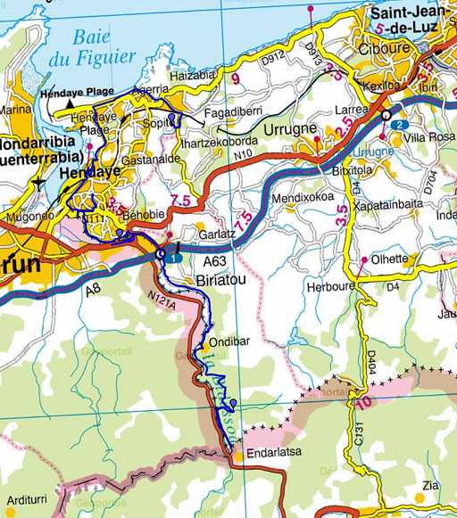 |
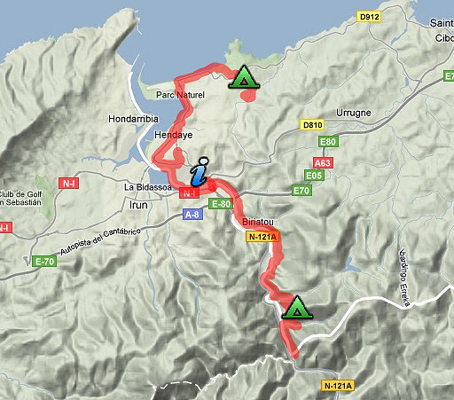
esfr-trip-track-20090401.kml (click to open in Google Earth or copy link to Google Maps; click right on this link to download gpx-version) Three targets today: - observing Île de Faisans - reconnaissance of a possible GRPdesBF-route through Hendaye - accessing bm001 |
 |
For explanation of
the gps-coordinates and other cartographic backgrounds: see my cartography page |
 |
According
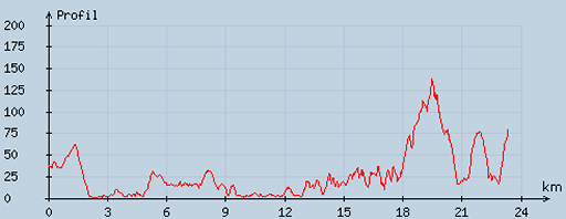
to visugpx - distance : 23.43 km - cum. elevation gain : 326 m - cum. elevation loss : 291 m - total elevation: 617 m - altitude maxi : 138 m - altitude mini : 0 m - altitude average : 28 m |
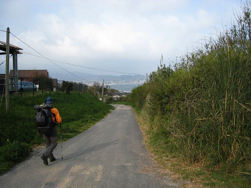 |
From our camping in Hendaye Jan-Willem and I we walk to the coast and |
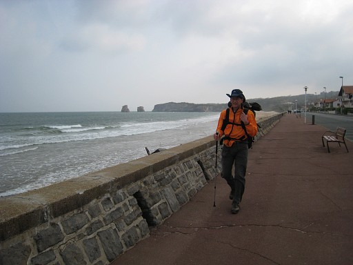 |
along the beach and boulevard we continue to the |
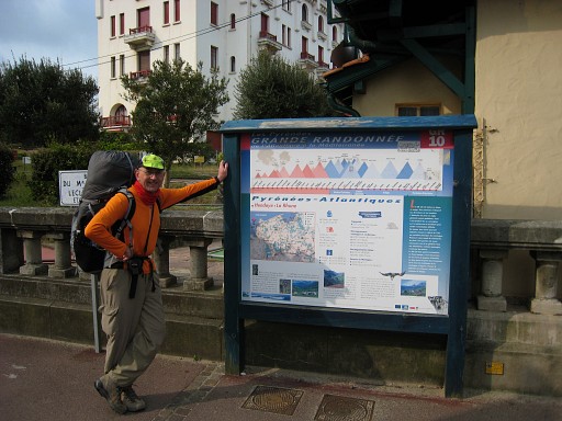 |
starting point of the GR10-trail in front of the old casino. I guess it could as well be a fine start of my own GRPdesBF-trail. |
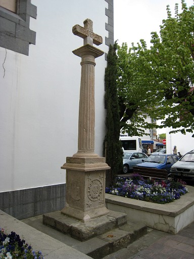 |
A
little bit of sight-seeing: the Great Cross of Hendaye near the
church at the town square. It is carved with alchemical symbols. |
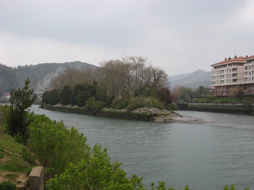 |
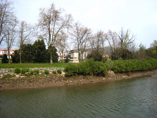
Following the north shore of the
Bidassoa to the east, we get a first glimpse of the famous island of
the pheasants: "l'Île de Faisans". This is the place where the Treaty of the Pyrenees was signed in 1659. That explains its second name: " l'Île de la Conférence", Considered as neutral territory because of being in the middle of the borderriver, it was transformed into a condominium. That's a piece of territory shared by two countries. In this case the sovereignty shifts every six months from one country to another. |
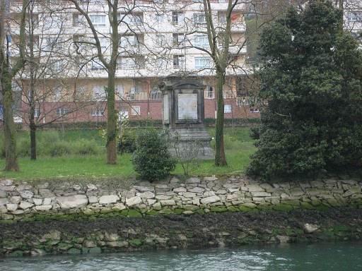 |
With a monument in the middle. |
 |
View from the bridge to the east of the island. You can see a bench but for who? |
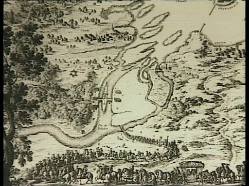 |
This is an old map
(captured from a documentary of Luc Bazin: ''L'homme de la
frontière''), meant als an illustration of the conference of 1659. We see clearly the island with the two temporary bridges and recognize the topography of the area. |
 |
View from the south shore with the same monument in sight. |
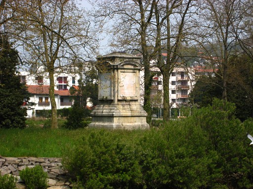 |
Close-up of the monument |
 |
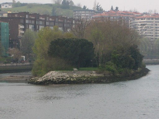
At the southside of the island on both
ends, the water is shallow and one could probably easily walk to
the island itself when the tide is low. On this picture: the island seen from southwest. There is no official possibility of visiting the island. There used to be tourist trips but they have been cancelled. |
 |
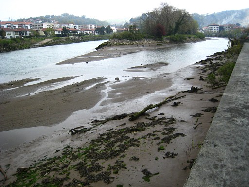
We have left Hendaye behind, to the right is the border-river. In the front we see the hills where the border at some point leaves the river and enters the land. That's where bm001 is located. |
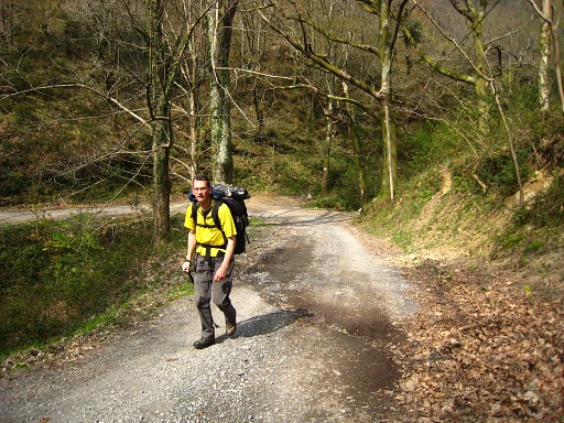 |
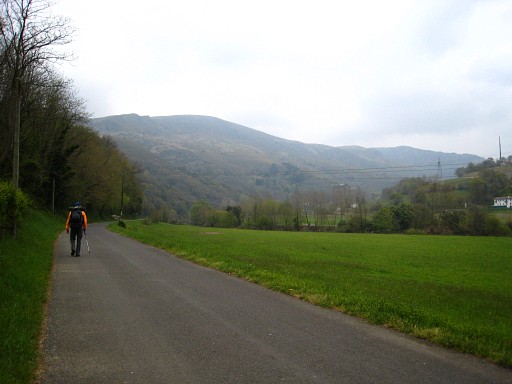
We're climbing. |
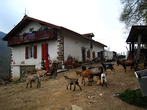 |
And the tarmac road ends at this
lively farm. Behind the farm there is a trail leading into the forest
and gently descending further on. |
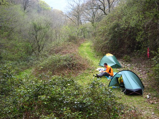 |
And at this spot, where the trail
bends back to keep on descending to the river, we find this
camping-spot besides a little stream. In the evening we do a reconnaissance of the access-route to bm001. See the next trip |