|
The
bordermarkers of the Pyrenees : all my trips
|
|||||||||||||||||||||
| -
2 april
2009 - Bordermarker 001 found  previous
trip next
trip previous
trip next
trip 
|
 |
||||||||||||||||||||
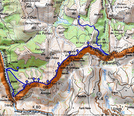 |
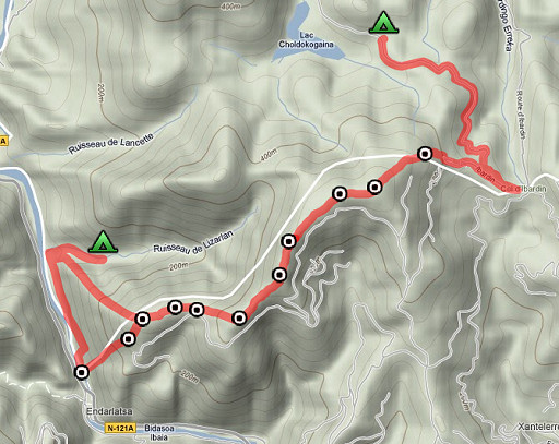
esfr-trip-track-20090402.kml (click to open in Google Earth or copy link to Google Maps; click right on this link to download gpx-version) Two trips in one day: a solo-trip to bmoo1 - 003 in the morning and a second one together along the borderridge to Col d'Ibardin. Starting with nice weather, occasionally sunny. High on the ridge it's cold and windy. |
||||||||||||||||||||
 |
For explanation of
the gps-coordinates and other cartographic backgrounds: see my cartography page According to my watch:
| ||||||||||||||||||||
 |
According
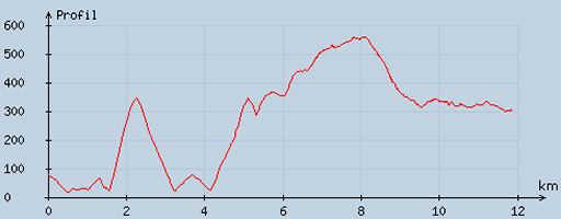
to visugpx - distance : 12.15 km - cum. elevation gain : 1047 m - cum. elevation loss : 820 m - total elevation: 1867 - altitude maxi : 559 m - altitude mini : 16 m - altitude average : 337 m |
||||||||||||||||||||
|
Trip
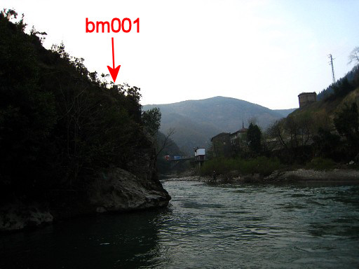
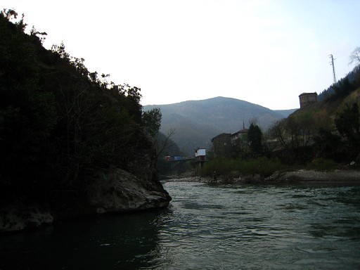
1: solo trip to bm001-bm003. I descend to the meadow along the river, follow the meadow to the south to the end of it. At the end there is a ruined barn. After passing the fence there is a trail that is vaguely marked with blue paint and some cairns. I use my Gps to establish where I pass the borderline. At that point I descend steeply through trees and arrive at the river. Some 50 meters to the south I see the pebble shore which I recognize from Google Earth, being next to bm001. By traversing above the rocky shore I arrive easily at the pebble shore. Then I see a borderstone at the hillridge, that must be bm001! Move the cursor over the picture to see bm001 |
||||||||||||||||||||
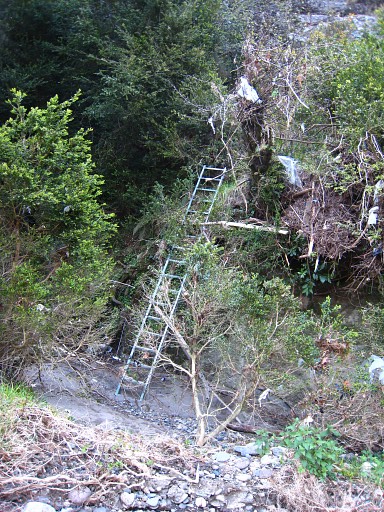 |
An iron ladder and some iron steps
attached to the rocks facilitate the climbing of the rocky
hillridge and lead to |
||||||||||||||||||||
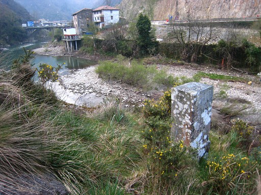 |
bm001, looking down at the river. |
||||||||||||||||||||
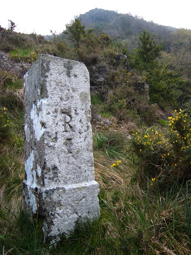 |
R
1 We were puzzled by the 'R' . It's very common on the esfr-bordermarkers. According to this article, note 22 it's the R from "Repère". That is 'mark' or 'marker' or 'point' in English. But Charles Darrieu wrote me in 2011 that's the R of Royal. It stems from the "borne Royal" or "mojón Royal" of the 'Commission de délimitation Caro-d'Ornano' (1784-1702) on their "Carte des Limites" (1788-1789). The commission Caro - d'Ornano was assigned to establish the delimitation-line in the Pays Quint. See the: curiosities-page |
||||||||||||||||||||
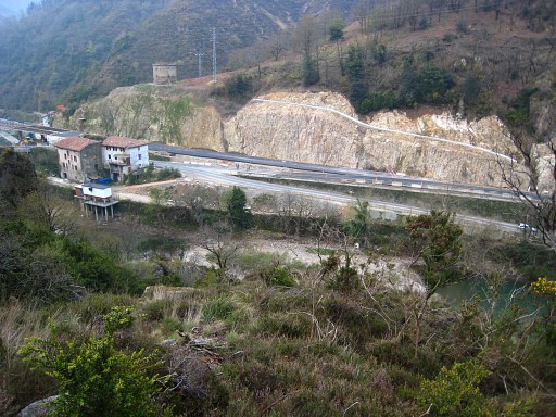 |
Bm001 is placed at the beginning
of a hillridge, a ridge which is the borderline and climbs to bm002. The climbing is quite steep but offers no particular problems. The terrain is open, covered with low bushes. Apparently I have descended to early and was my gps-reading of the borderline not correct. |
||||||||||||||||||||
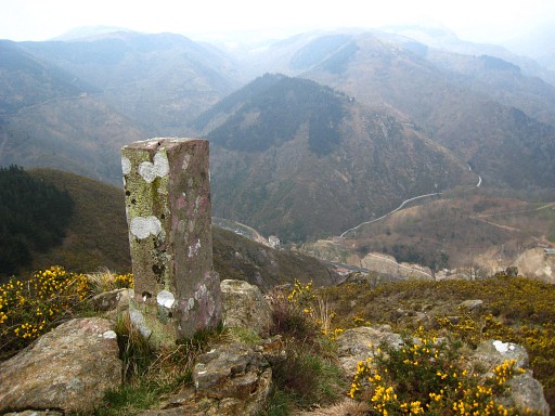 |
Bm002, looking
back. |
||||||||||||||||||||
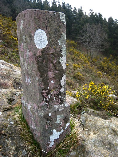 |
Bm002 |
||||||||||||||||||||
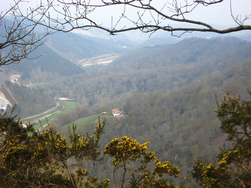 |
I did reach bm003 but didn't yet
take a picture. It is time to return to the tents where
Jan-Willem is waiting. There is a blue way-marked path going down to the meadow and from there to our campingspot. On the descent this view of the valley in the direction of Hendaye. The farm you see is the 'lively farm' where the tarmac road ended yesterday. |
||||||||||||||||||||
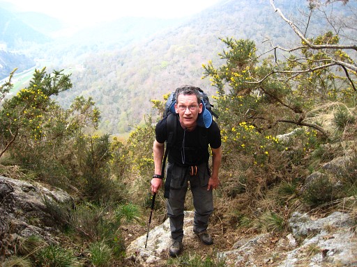 |
Trip 2 Together we make the steep ascent along the same 'blue' path up the mountain to bm003. But first - from bm003 - I descend to bm002 to look for an unnumbered cross, 2 meters from the borderstone, as is mentioned in the 'Procès-Verbal'. But there's no clearly carved cross. |
||||||||||||||||||||
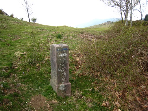 |
Bm003 We continue on the hill-ridge towards Col d'Ibardin, passing bm004 to bm011. And that's tough walking because of the evelation and the fierce cold wind on the ridge. |
||||||||||||||||||||
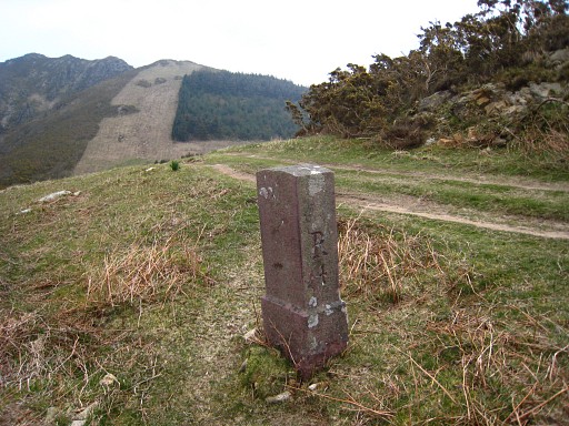 |
Bm004 |
||||||||||||||||||||
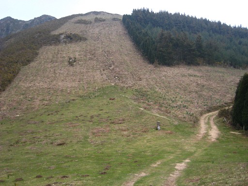 |
Bm005, in front of us down below. |
||||||||||||||||||||
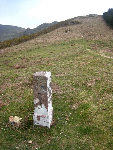 |
Bm005 |
||||||||||||||||||||
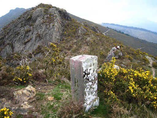 |
Bm006 |
||||||||||||||||||||
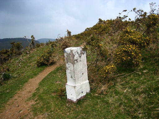 |
Bm007 At this spot I also searched for an unnumbered cross (mentioned in the 'Procès-Verbal', 5 meters from the stone) but didn't find it. |
||||||||||||||||||||
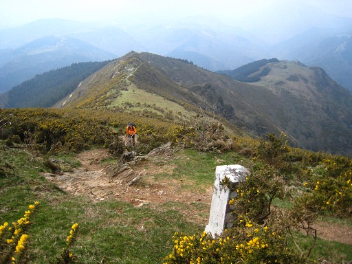 |
From bm007 looking back at the
hill-ridge which is the border. Jan-Willem is keeping up. |
||||||||||||||||||||
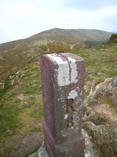 |
Bm008, close-up. Watch the slot
on top of it, indicating the direction of the border. |
||||||||||||||||||||
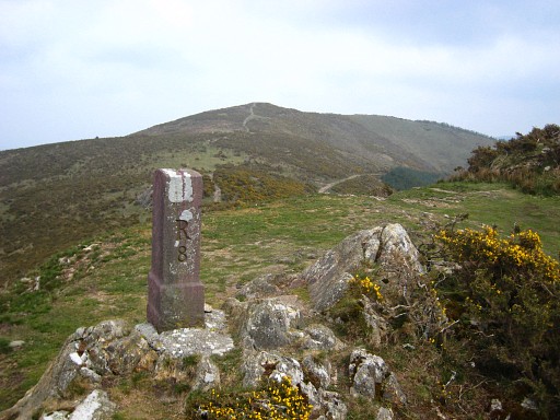 |
Bm008 |
||||||||||||||||||||
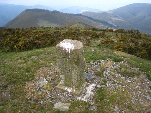 |
Bm009 |
||||||||||||||||||||
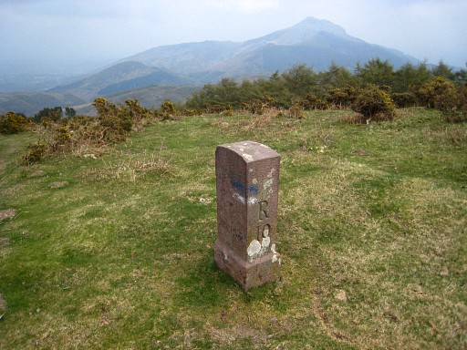 |
Bm010 |
||||||||||||||||||||
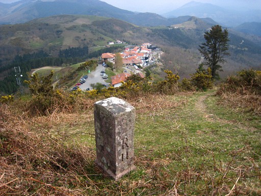 |
Bm011 with a view of the
border-shops (venta's) at Coll d'Ibardin. At the Coll we stop, we are tired and after a coffee and a sandwhich we walk to |
||||||||||||||||||||
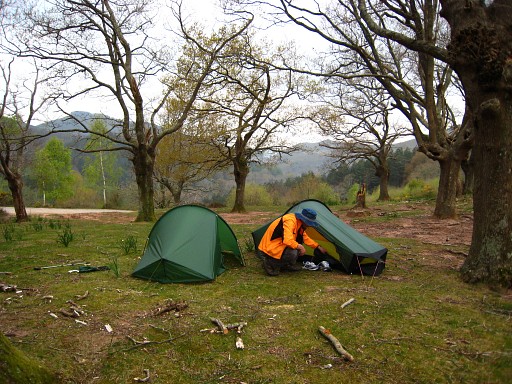 |
this camping-spot. It's cold and
windy. A fountain is nearby further along the road. (Coordinates: N43 19 14.4 W1 41 57.3) |
||||||||||||||||||||
 previous
trip next
trip previous
trip next
trip 
|
|||||||||||||||||||||

