|
The
bordermarkers of the Pyrenees : all my trips
 |
|
| -
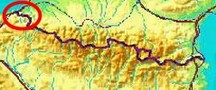
12 april
2009 - Back to Bidarray |
 |
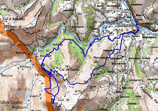 |
esfr-trip-track-20090412.kml (click to open in Google Earth or copy link to Google Maps; click right on this link to download gpx-version) Solotrip starting & ending at Bidarray trainstation. Jan-Willem stayed in Bayonne. In short: searching again for bm087 (in vain), finding bm088 , reconnaissance of the route from bm087 to the GR10-trail. |
 |
For explanation of
the gps-coordinates and other cartographic backgrounds: see my cartography page Duration: ± 9.15-1645, ± 7.30 hours Elevation (watch): 1225m up, 1244m down, 2469m in total |
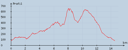 |
According
to visugpx - distance : 14.88 km - cum. elevation gain : 972 m - cum. elevation loss : 972 m - total elevation: 1944 - altitude maxi : 655 m - altitude mini : 81 m - altitude average : 335 m |
 |
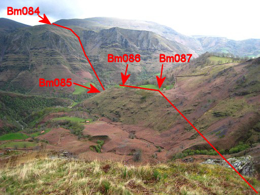
I followed the
GR10-trail and the tarmac-road south of the Bastan-river and finally
the rural road to the field with bm086 (a remake of yesterday) |
 |
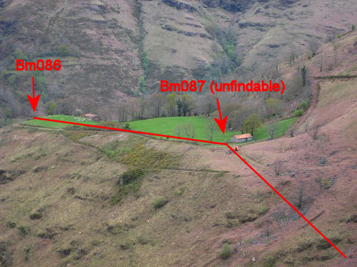
Bm086 |
 |
From bm086 I walk
(using gps and compass) the 318 meters (procès-verbal) to where bm087
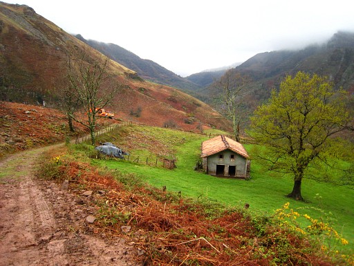
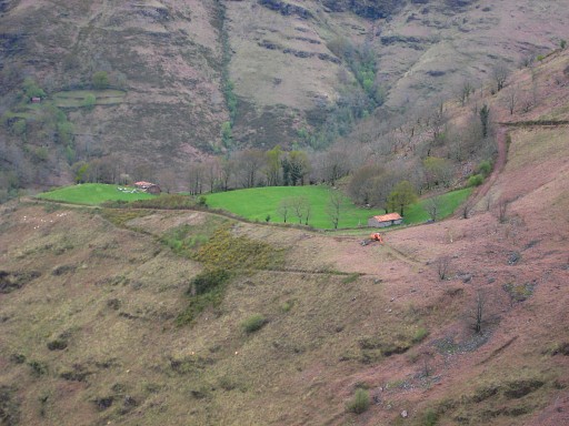
should be. And that's approximately where 3 trees are standing just north of the barn. But no trace of bm087. According to the maps the bend in the borderline should be just south of the barn, on the north side of the rural road to be precise. See the map below. But also there: no trace of a bordermarker. On the picture we see the barn from north with one of the 3 trees in front of it. |
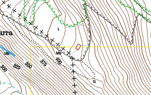 |
Map copied from
the Sitna (Navarra) mapsite Showing the bend in the border where bordermarker 087 should be. |
|
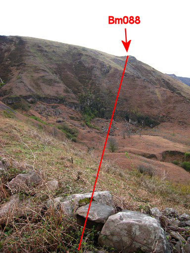
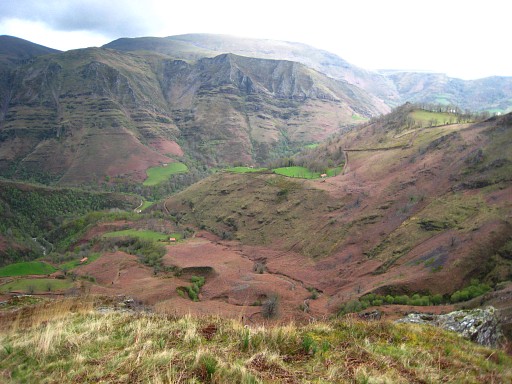
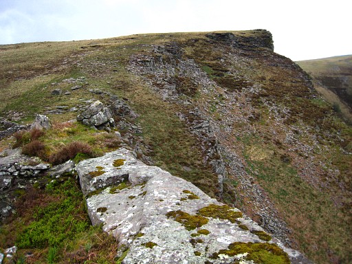
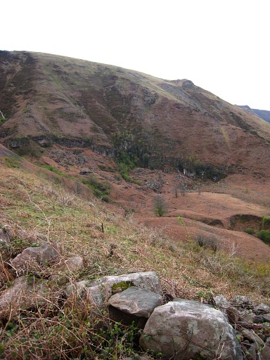
I descend to the
bottom of the valley and look for bm088. But
I realize that I should go further. I climb on a path (on Spanish soil) uphill. Picture: looking back , in the distance we see the green meadow with the barn where bm087 should have been. Move the cursor over the picture to see the approximate borderline. |
 |
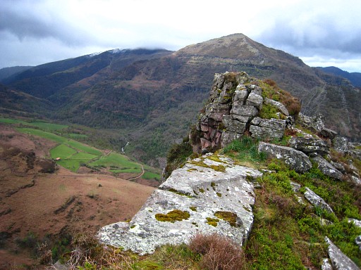
I climb untill I
come across a trail coming from left from the barn (see
picture) Following that trail to the right I reach a stone-walled field (a 'borde'?). |
 |
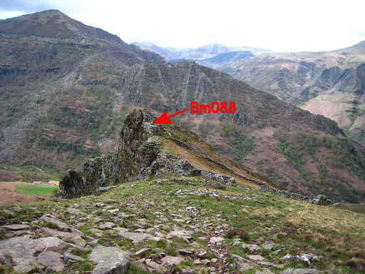
On
the west-side of
the stone-walled field I'm searching for a long time. The
'procès-verbal' mentions a "rocher voisin", a neighbouring
rock
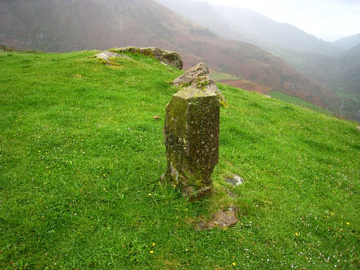
and that's where I find the bordercross! Bm088 |
 |
Bm088 with a little
help of chalk |
 |
And again |
|
And again, looking into Spain. |
|
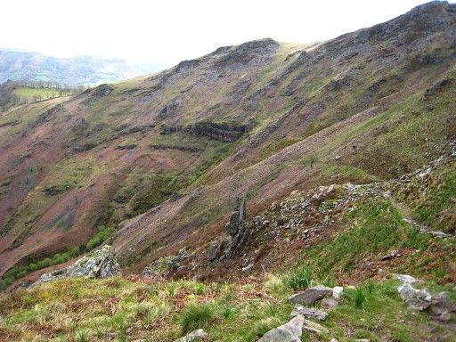
And an overview of
the situation. Move the cursor over the picture to see where bm088 is. |
|
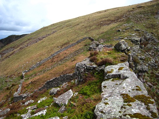
I return to the
barn following the just discovered trail from the walled field
to the barn. Mostly a clear trail, sometimes vague. Made while approaching the barn, this picture allows a good comparison with the map below. Move the cursor over the picture to see the approximate borderline. |
|
And once again the map taken from
the Sitna (Navarra) mapsite Showing the bend in the border where bordermarker 087 should be. From the barn (after a last search for bm088), I climb the zigzag rural road, continuing on a yellow waymarked path to the GR10-trail to descend to Bidarray. |
|
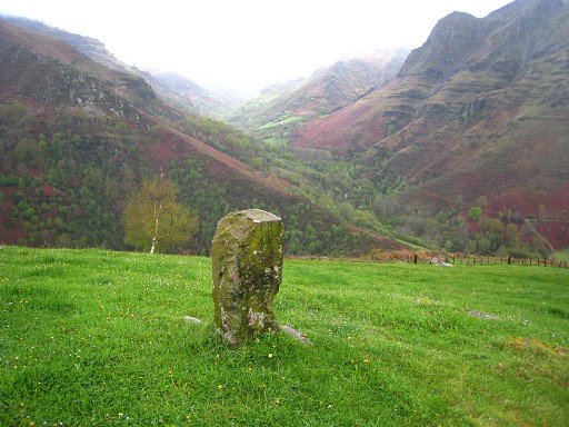
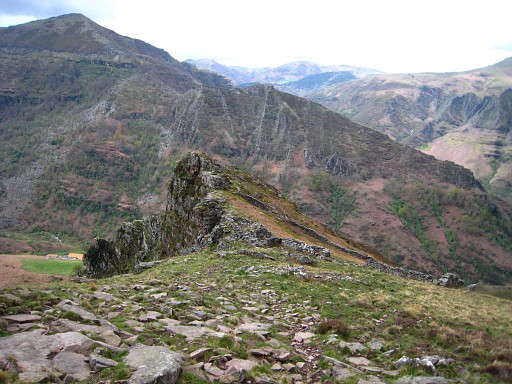
But - before I
leave - this picture taken from the barn in the direction of
bm089. Move the cursor over the picture to see the approximate borderline. . |
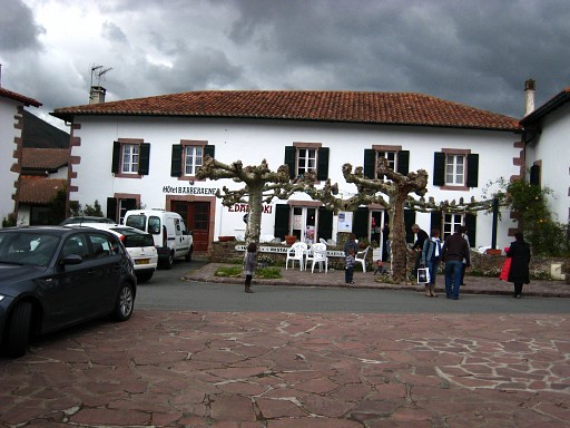 |
And just for my own record: our hotel
in Bidarray 2 nights earlier. |
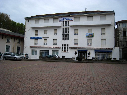 |
And our hotel in
Bayonne. |