|
The
bordermarkers of the Pyrenees : all my trips
 |
|
| -
9 june
2009 - Guided by red stripes |
 |
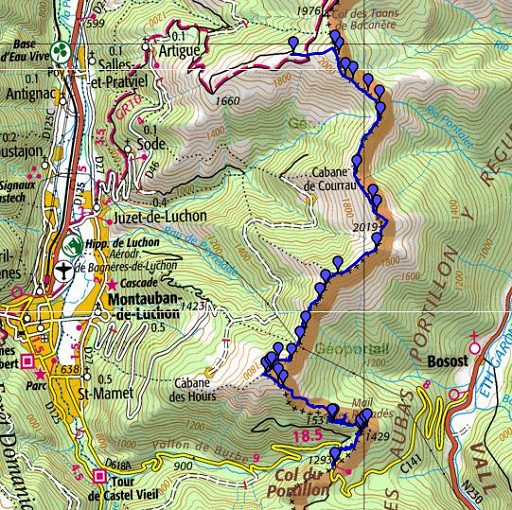 |
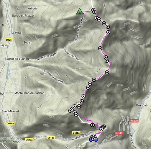
esfr-trip-track-20090609.kml (click to open in Google Earth or copy link to Google Maps; click right on this link to download gpx-version) Part of a 16-days trip, using day 1-10 to cover bm154 to 264 in the eastern Pyrenees and day 11-16 for bm416 to 365 near Bagnères-de-Luchon. Day 15: following the borderridge from bm396 to Col du Portillon (bm366). Weather: a clear sky when I get up, promising a splendid day after a cold night. In the afternoon, clouds will drift in. |
 |
For explanation of
the gps-coordinates and other cartographic backgrounds: see my cartography page According to my watch: Duration: 7.45 - 18.15, in total 10.30 hours, break 1 hour Up: 1101 m Down: 1700 m Total elevation 2800 m Highest point: 2074 m Lowest point: 1250 m |
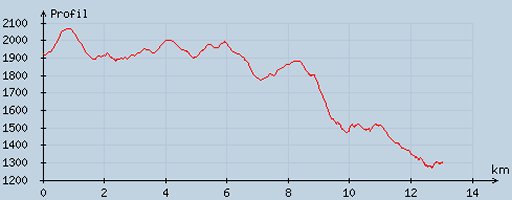 |
According
to visugpx - distance : 13.3 km - cum. elevation gain : 605 m - cum. elevation loss : 1224 m - total elevation: 1829 - altitude maxi : 2068 m - altitude mini : 1271 m - altitude average : 1688 m |
 |
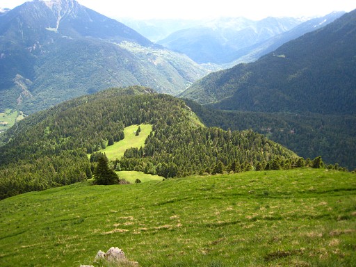
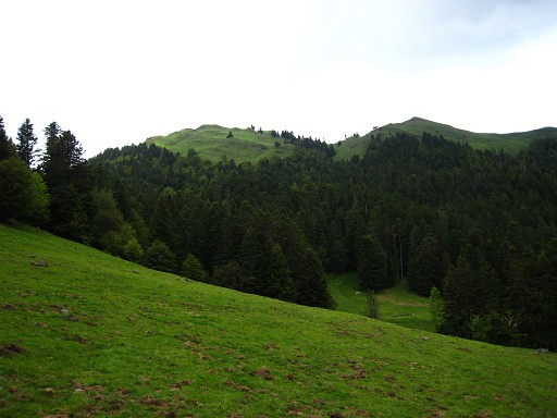
Early start at 7.45. I climb directly to bm396. Then it's up and down to the south from bm to bm, mostly on well cattle-tracks, sometimes going underneath a hilltop. Though the average height remains for a large part ± 2000m, there's a considerable denivellation with all this going up & down. |
 |
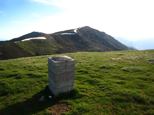
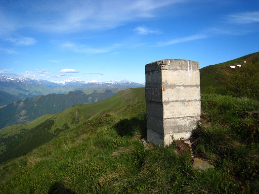
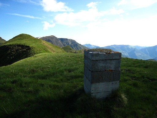
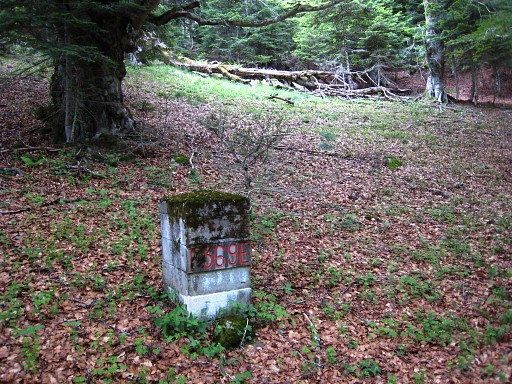
Bm395, backside |
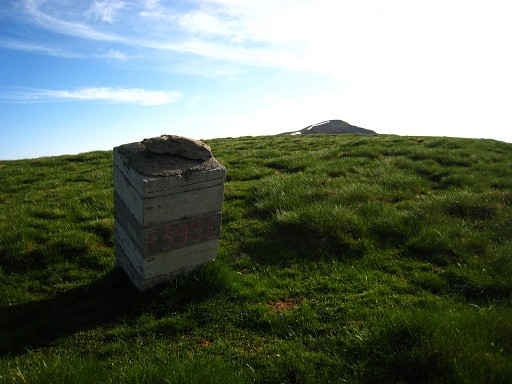 |
Bm395 |
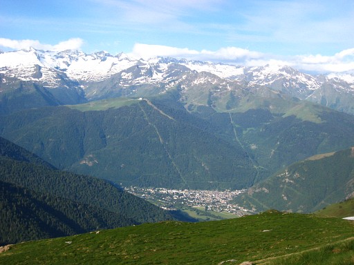 |
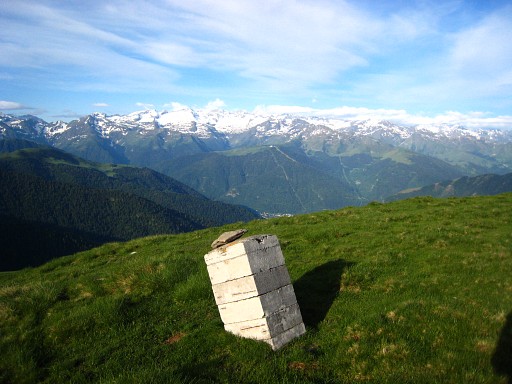
View to
Bagnères-de-Luchon |
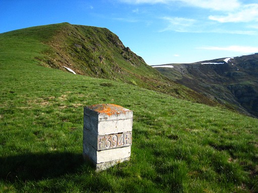 |
Bm394 |
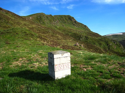 |
Bm393 |
 |
Bm392 |
 |
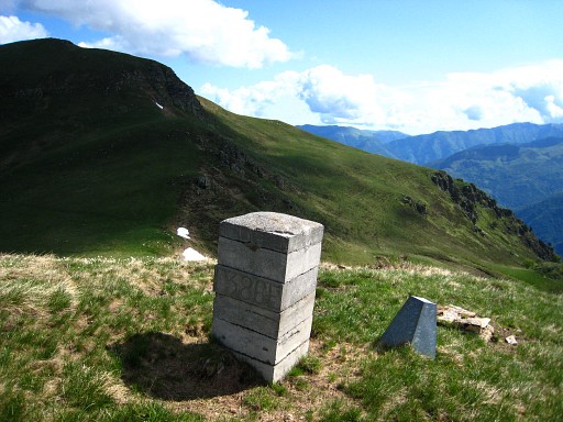
Bm391 |
 |
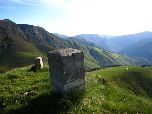
Bm390 |
 |
Bm390, backside |
 |
Bm389 |
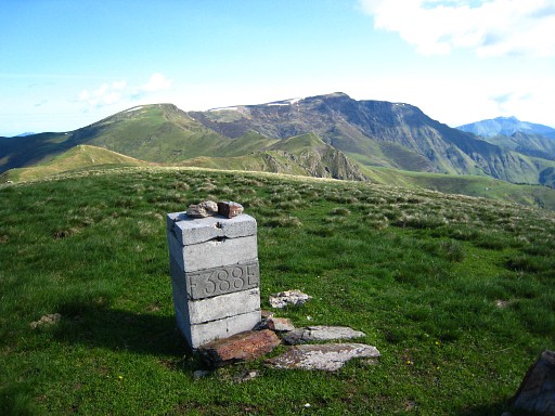 |
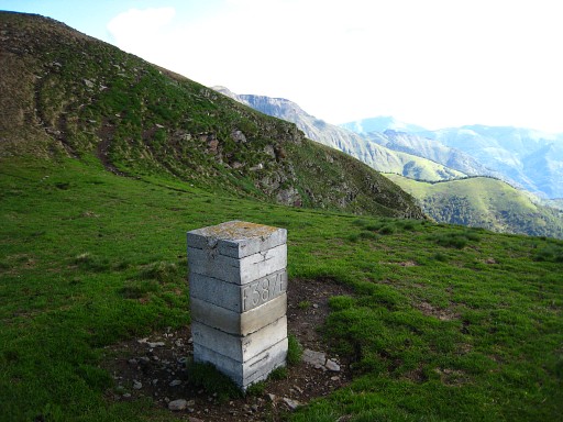
Bm388 |
 |
Bm387 |
 |
Bm386 |
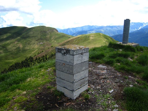 |
Bm385 |
 |
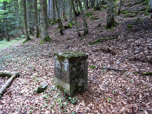
Bm384 |
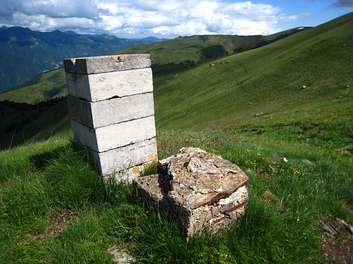 |
Bm384, with the
remains of the former (?) bordermarker. I've seen this more often. |
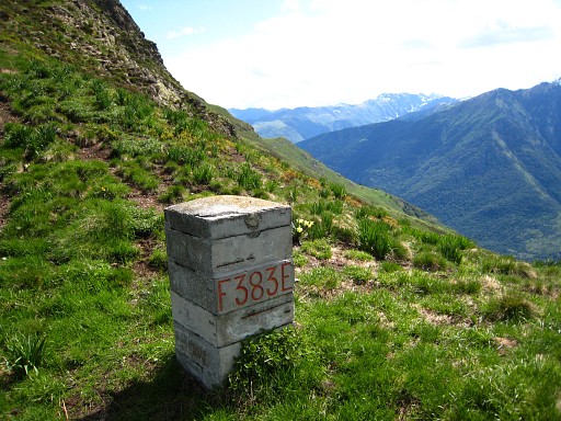 |
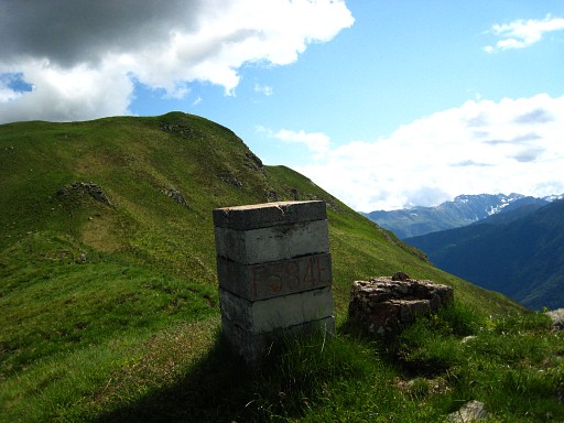
Bm383 |
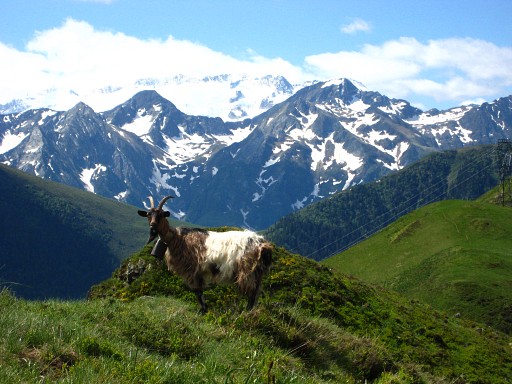 |
Mountain-landscape
with goat. |
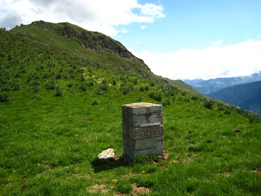 |
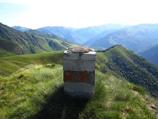
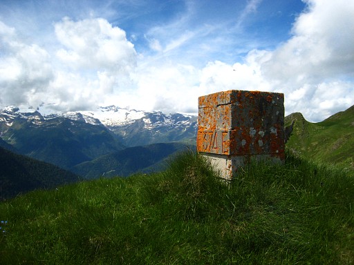
Bm382 |
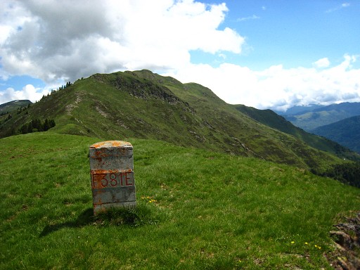 |
Bm381 |
 |
Bm380, backside |
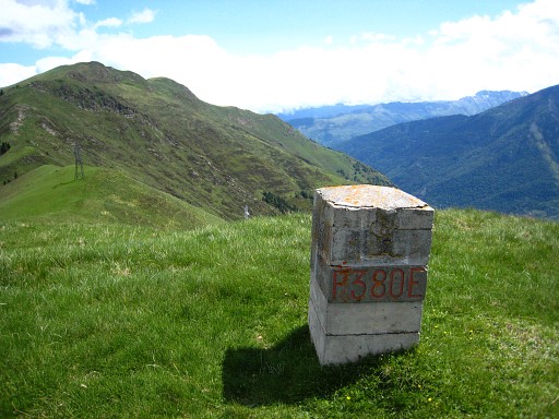 |
Bm380 |
 |
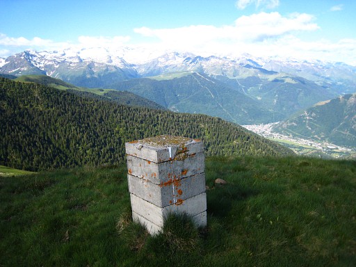
Bm379 |
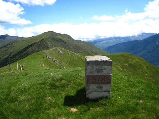 |
Bm378 |
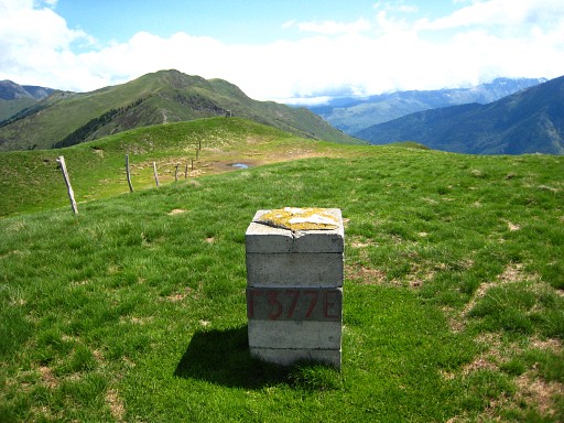 |
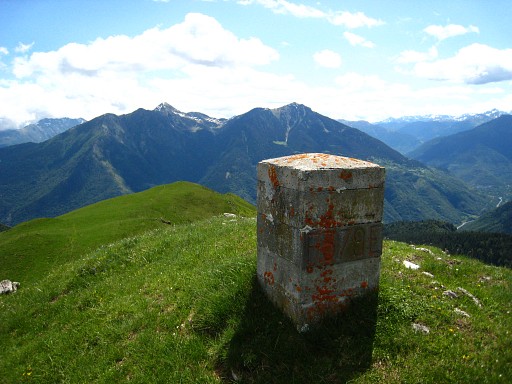
Bm377 |
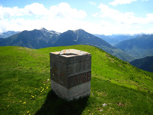 |
Bm376 From this bm, the border makes a sharp bend to the left, something you wouldn't expect, looking at the landscape. From here, the descent to Col de Portillon starts. |
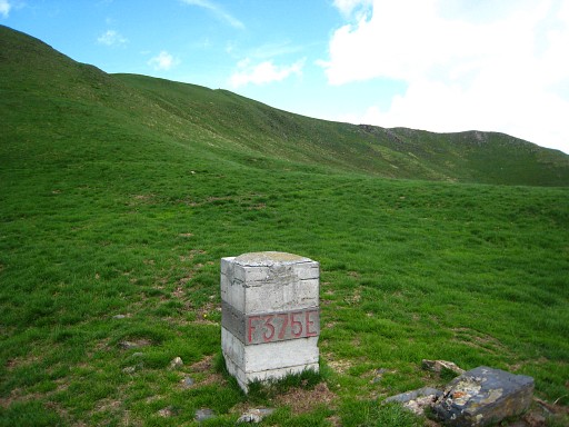 |
Bm375 |
 |
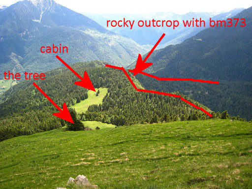
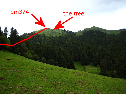
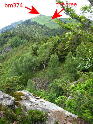
bm374 Break at the cabane nearby (cabane not shown on the map). |
|
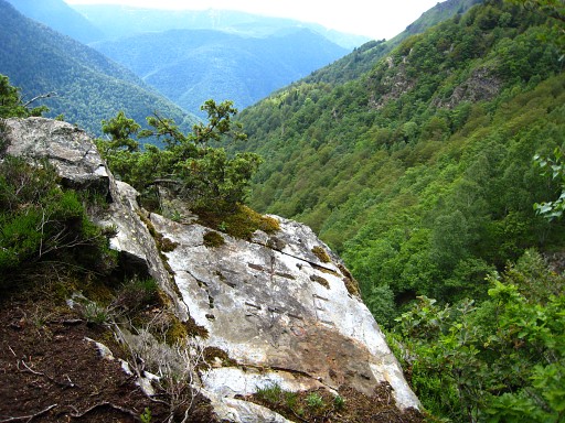
This picture: from approximate
bm374, looking down in the direction of the borderline Move the cursor over the picture to see the border. After the break, finding the bm's gets more difficult. From the cabane you can see two meadows with a cabane in the second one, east of the borderline. That seems a good starting point for searching bm373 and 372. I descend steeply over this grassy hillside to a solitary tree. From the tree, there's a trail that descends to the right to the edge of the forest. Through the forest (no path), I descend to the first meadow. |
|
This picture: I'm down below in
the first meadow and look back. Move the cursor over the picture to see the border. In this first meadow - to the right, down below (S-corner) - a path brings you with a curve to the second meadow and to the cabane. |
 |
From there it's on compass-reading climbing to the borderridge. There I spot a small hill at the edge of the ridge. At its top, I find bm373. |
|
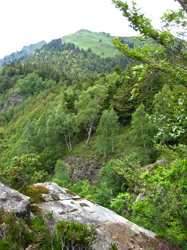
Bm373, with a view
back to where I came from. Move the cursor over the picture to see the border. |
 |
At the foot of that small hill, stands bm372. I follow a path underneath the borderridge to the NWW/W to see if that's a better route to bm374. But it seems to fade away on the Spanish side. From bm372 to bm371, a compass is needed because the ridge becomes broad and diffuse. I have to return and try it again, now with the gps-tripteller measurin the distance. That how I found bm371. |
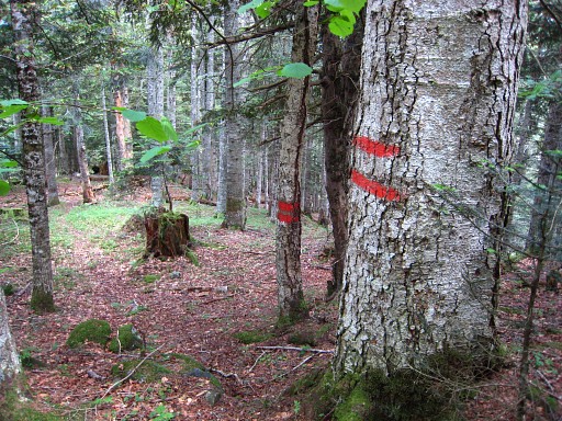 |
But I also discover that these signs indicate the borderline in the forest, making navigating easier. |
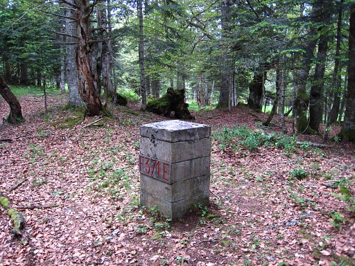 |
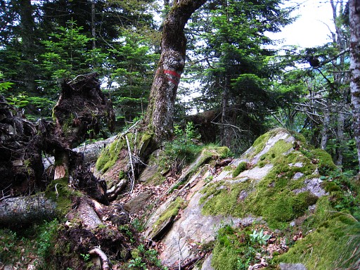
Bm371, at this point, the border makes a sharp bend. |
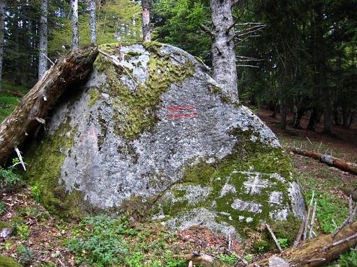 |
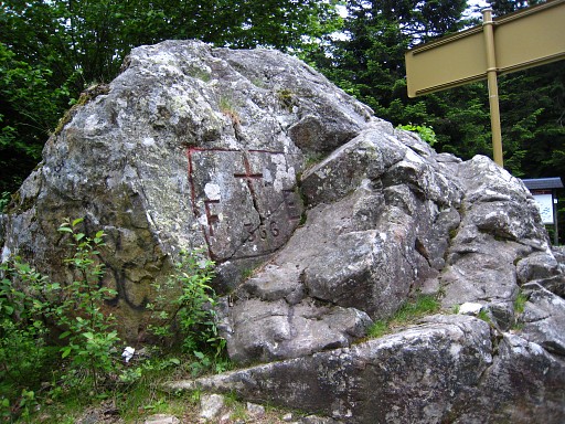
I can't find a 'borne' (pillar) 53m further but it happens to be a cross on a large solitary rock: bm370. |
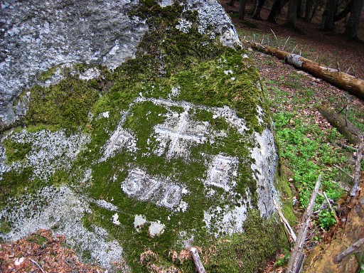 |
Bm370, close-up |
 |
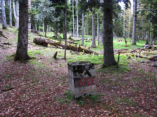
A ridge is no longer noticeable and I make use of the red stripes to find at "118" meters at a lower, muddy spot bm369. |
 |
And "52"meters further on: bm368 |
 |
I searched a long
time with compass and gps-tripteller for bm367. I thought it should be on this small rocky summit on
the ridge (the 'sommet' of a 'petit piton'?). But I simply can't find it. I will find it on another spot next day: see the next trip |
 |
From that "piton" it's quite a search
for a not too steep descent to the Col de Portillon. I reach the road
on the French side, quite a lot lower than the Col. I walk to the Col with bm366 |
 |
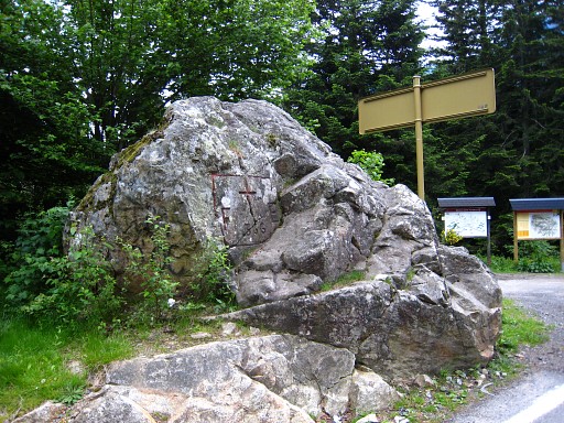
Bm366 |
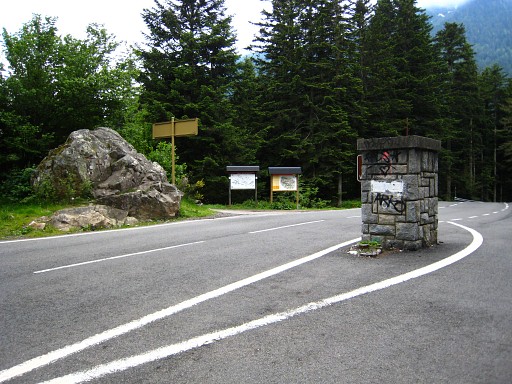 |
Bm366, from some
distance, showing more of the Col du Portillon. I get a lift to Bagnères-de-Luchon. My French 'host' - working at the national post, rugby as a hobby, is taking a spa-therapy there, partially paid by the national healthcare. Not bad. I take a room in Hotel Francois Ier in Bagnères-de-Luchon and enjoy the luxuries of a shower, a restaurant and a bed. |