|
The
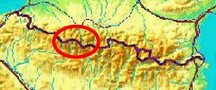
bordermarkers of the Pyrenees : all my trips
 |
|
| -
27 august
2010 - Assiette du randonneur |
 |
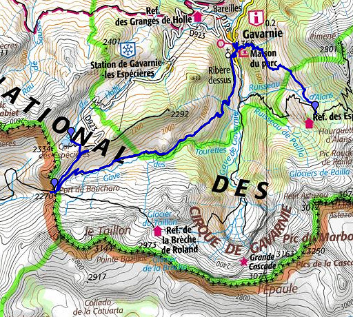 |
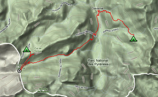
esfr-trip-track-20100827.kml (click to open in Google Earth or copy link to Google Maps; click right on this link to download gpx-version) Summary: part of a 11-days backpacking trip from Cauterets to Loudenvielle ‘doing” bm315 to bm330. Day 3: descending from the border-ridge to Gavarnie and climbing back into the mountains. Weather: overall a warm and sunny day. |
 |
For explanation of
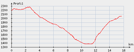
the gps-coordinates and other cartographic backgrounds: see my cartography page Start: 08.30, break: 12.45-14.15, finish: 16.45, net walking time: 6.45 According to the gp-tripteller: Distance: 17,6 km Time moved: 5.36h Time standing still: 2.39h In total: 8.15h Total ascent: 813m Maximum height: 2285m |
 |
According
to visugpx - distance : 16.02 km - cum. elevation gain : 826 m - cum. elevation loss : 972 m - total elevation: 1798 - altitude maxi : 2281 m - altitude mini : 1374 m - altitude average : 1872 m |
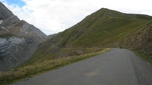 |
Very
windy night causing numerous wake-ups by the noise. I try a shortcut to bm319 but the roadside is too steep, it’s better to take the path to the parking area and then continue on the tarmac road to bm319 |
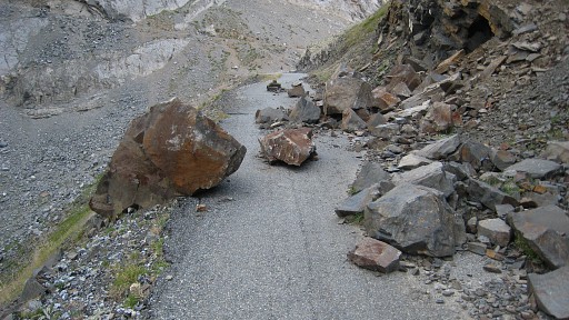 |
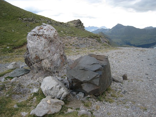
Further on, the road is blocked by fallen rocks like this. The roads ends at the borderline anyway |
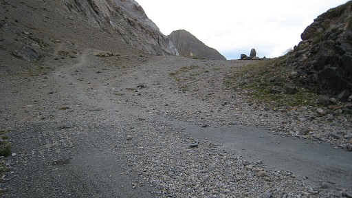 |
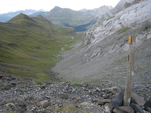
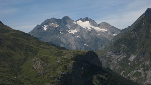
The Port de Boucharo in sight, with the rock with bm319. |
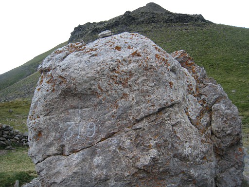 |
Bm319 |
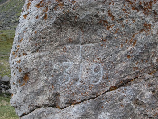 |
Bm319 |
 |
Bm319, looking back into France |
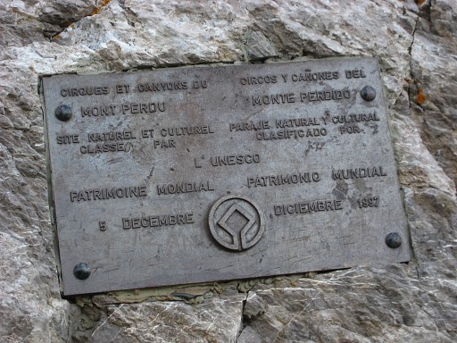 |
This whole area around Mont Perdu is an Unesco Heritage site as this plate at the back of the rock, kindly tells us. |
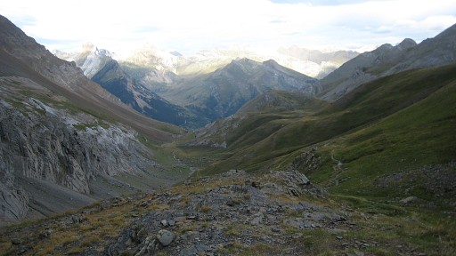 |
Looking into Spain from the Port. On a Spanish map there's a winding road visible from here to down below. But there's no trace of it in the landscape, only a footpath. |
 |
Then a long tiring descent into the Vallée des Pouey Aspé along Cabane des soldats to Gavarnie. |
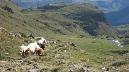 |
A bit lower in the valley |
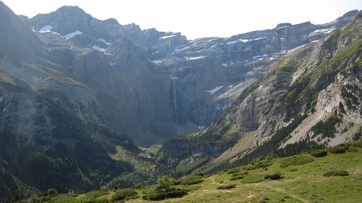 |
Before and after Gavarnie splendid views of the Cirque de Gavarnie. |
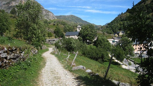 |
In Gavarnie lunch with
an “assiette du randonneur”. Beyond the Maison du Parc and between two houses in a narrow alley, starts the trail to Refuge de Espaguetttes. After the bridge to the right and the path climbs along a stream at your left through a beach forest. That’s a delight after two days of exposed mountain terrain. |
 |
Later
on there are sign-boards again, waymarking is not abundant but it
should do to bring you to Refuge des Espaguettes, 200m off the path. This is a zoom-in on the summit of Vignemale, visible to the nw. |
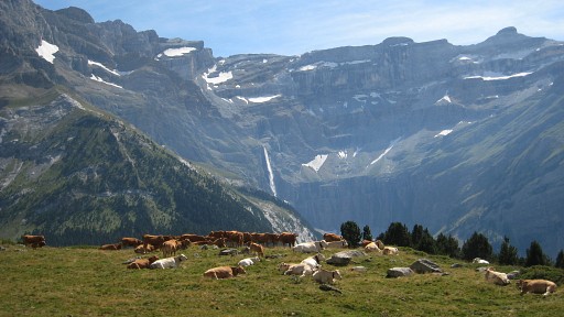 |
And again: splendid views on Cirque de Gavarnie |
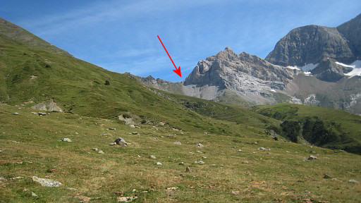 |
And here looking forward to the rocky ridge of Hourquette d'Alans, the mountain-pass I will climb tomorrow. |
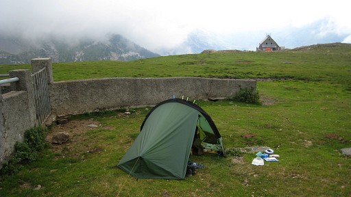 |
It's too late to continue to bm320 and there’s a nice camping-spot with a
running waterhose nearby and with some shelter from a wall. The wind has subsided and low clouds are sailing in, sealing off the outer world. Camp: N42 43 12.6 E000 00 52.6 H2061m |