|
The
bordermarkers of the Pyrenees : all my trips
|
|
| -
3 september
2010 - Lost in the mist  previous
trip next
trip previous
trip next
trip 
|
 |
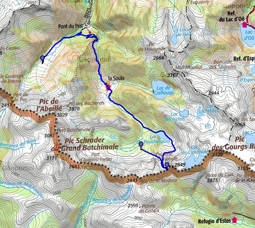 |
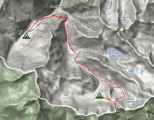
esfr-trip-track-20100903.kml (click to open in Google Earth or copy link to Google Maps; click right on this link to download gpx-version) Summary: part of a 11-days backpacking trip from Cauterets to Loudenvielle ‘doing” bm315 to bm330. Day 10: in a large semi-circle from Vallée de la Pez to Refuge la Soula, finally a tough climb to bm330. Weather: splendid, foggy in the end |
 |
For explanation of
the gps-coordinates and other cartographic backgrounds: see my cartography page Start: 9.15, break: 12.15-13.30, finish: 19.30, net walking time: 9 hours According to the gp-tripteller: Distance: 21,7 km Time moved: 6.16h Time standing still: 4.13h In total: 10.29h Total ascent: 1165m Maximum height: 2579m |
 |
According
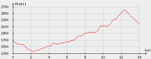
to visugpx - distance : 14.23 km - cum. elevation gain : 1291 m - cum. elevation loss : 759 m - total elevation: 2050 - altitude maxi : 2607 m - altitude mini : 1350 m - altitude average : 1862 m |
 |
From
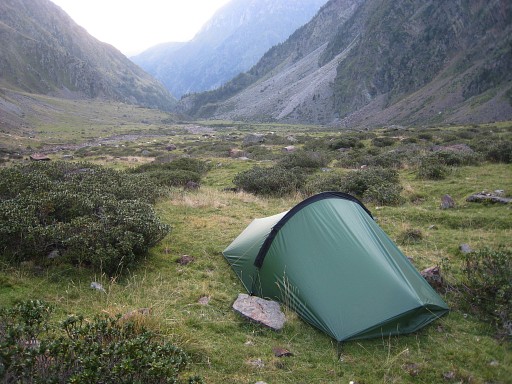
my camping-spot, descending down the valley . . . |
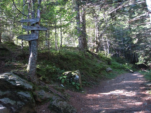 |
and into a refreshing forest untill a sign pointing to Refuge de Soula, taking the “lacets” and not the steep shortcut. |
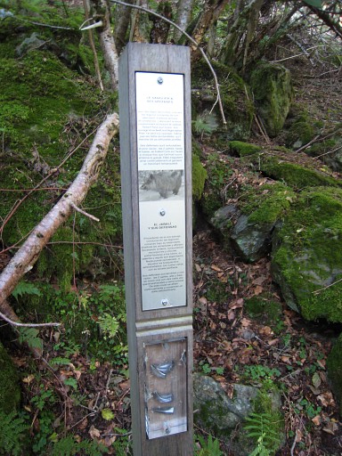 |
Along the trail, a
lot of interesting information panels about nature and the history of
this mountain region. |
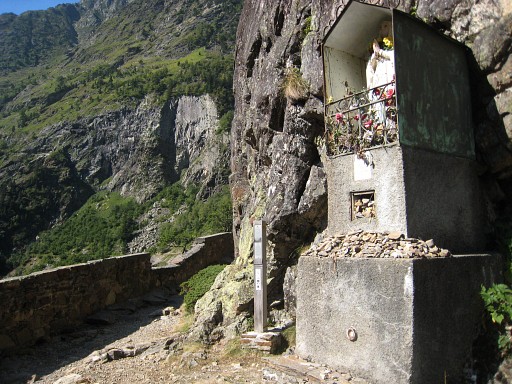 |
I like roadside
chapels likes this one: it's devoted to "Notre dame de la Garde". |
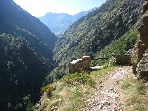 |
It was built when
this path - the "chemin de Clarabide" - into the mountains was
constructed in the beginning of the 19th century. |
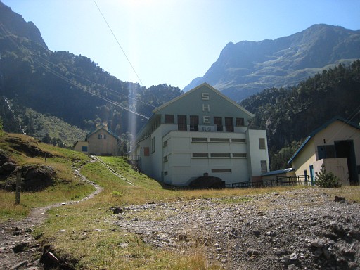 |
Lunch
with cassoulet at the refuge (the little building left to the large
electricity-generator one). They don’t sell provisions so this will be my last day, I decide. |
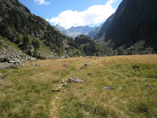 |
After the refuge
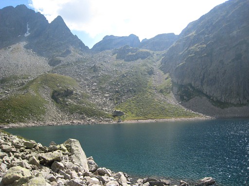
there's a trail climbing uphill and delivering you at this valley-floor Later on, after the climb at the end of this picture and arriving and continuing at a second valley-floor, there's a steep trail to the left. I follow that rocky trail to Lac de Pouchergues. No signs, only cairns. |
|
Circling the lac
and continuing on the trail, it shows that the trail apparently leads
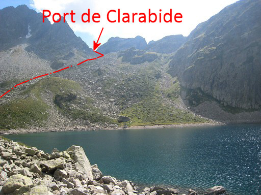
to Lac de Clarabide and not to Port de Clarabide. Then I try a straight line to the Port de Clarabide (Move the mouse over the picture to see where Port de Clarabide is and approximately my ascent.) |
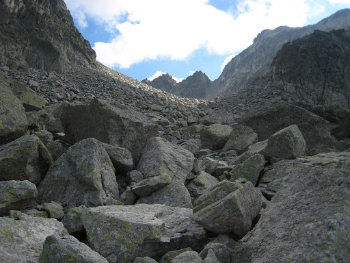 |
which means a long
and difficult climb over stones and
boulders. A bit scary, I allmost got my foot caught by a tumbling rock. |
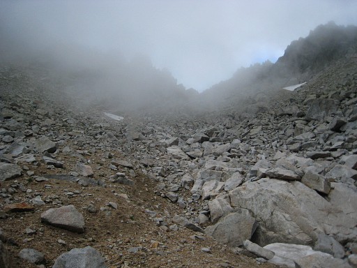 |
At the end I reach
the foot of the final climb to the Port. Cairns and a sort of trail to the Port itself have appeared. |
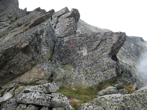 |
At the port, the
cross is at the westside: bm330. BUT: in september 2012 I will learn that this cross should be considered as bm330bis Read the full story at the curiosities-page. |
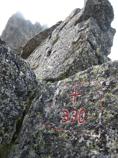 |
Bm330 or bm330bis |
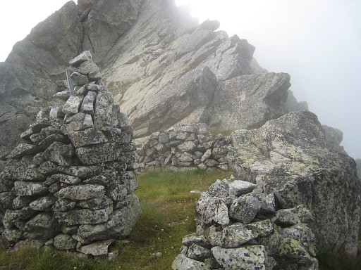 |
Bm330bis, hardly
visible at this picture. There's a rectangular enclosure right at the pass itself. |
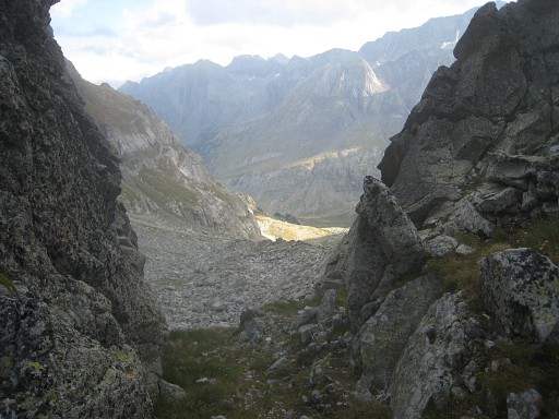 |
The Spanish side
seems more manageable, I see no waymarks or cairns. |
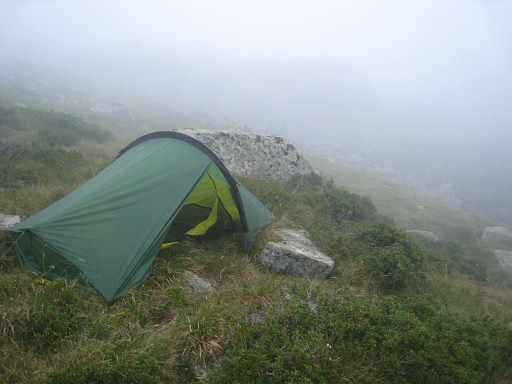 |
I
go back and try to follow the cairns to know where the real ‘trail’ is.
Clouds drift in and limit my vision. The cairns-trail takes the grassy
parts if possible. However, suddenly I realize that I’m not returning to the lake but heading nw into the adjoining valley. At that point, I’ve already lost the cairns. Meanwhile, a stream nearby has appeared and I stop and pitch my tent , it’s already 19.30. Camp N42 42 01.1 E000 26 13.3 H2195 |
 previous
trip next
trip previous
trip next
trip 
|
|

