|
The
bordermarkers of the Pyrenees : all my trips
|
|
| -
10 september
2010 - Starting from Hospice de France  previous
trip next
trip previous
trip next
trip 
|
 |
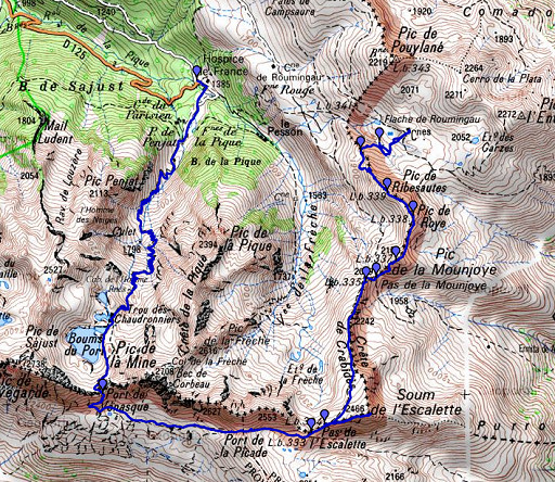 |
esfr-trip-track-20100910.kml (click to open in Google Earth or copy link to Google Maps; click right on this link to download gpx-version) Summary: part of a 3-days trip around Hospice de France near Bagnères-de-Luchon, exploring bm331 to bm359. First day: climbing the Port de Venasque with bm332 and through Spain returning in France and continue untill bm340. Weather: splendid |
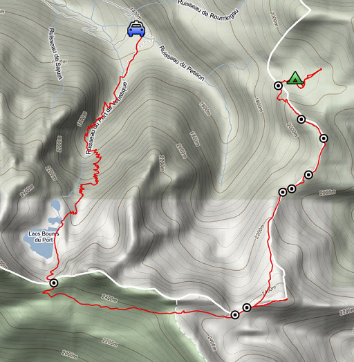 |
For explanation of
the gps-coordinates and other cartographic backgrounds: see my cartography page Start: 10.45, break: 12.30-13.00, finish: 17.45, net walking time: 6½ hours According to the gps-tripteller: Distance: 17,0 km Time moved: 5.08h Time standing still: 1.53h In total: 7.01h Total ascent: 1510m Maximum height: 2467m |
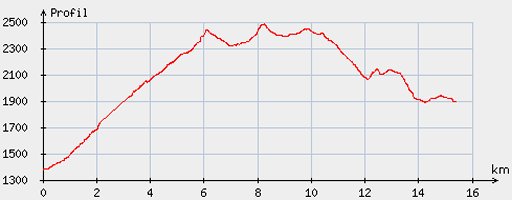 |
According
to visugpx - distance : 15.74 km - cum. elevation gain : 1419 m - cum. elevation loss : 896 m - total elevation: 2315 - altitude maxi : 2488 m - altitude mini : 1378 m - altitude average : 2090 m |
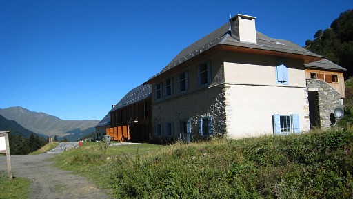 |
Coming
from Lourdes, I park my car at Hospice de France. |
 |
I climb easily to
refuge Venasque. On this picture: the pass to climb in the distance. |
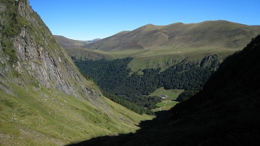 |
Looking back to Hospice de France. The path is good and with its many lacets not steep, |
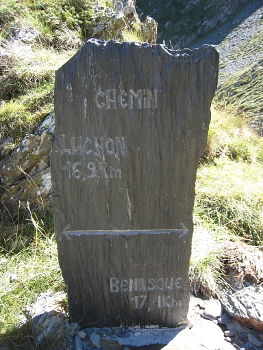 |
A sort of milestone
along this classic passage into Spain. |
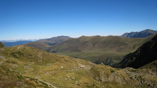 |
I'm close to the
refuge and looking back. The hill-ridge in the distance is the
borderridge where I will walk tomorrow. |
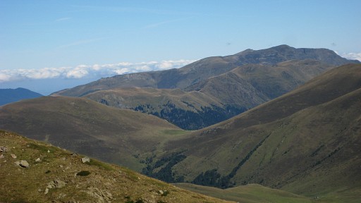 |
And
in the middle of this zoom-in there's the Col de Barèges where bm356
should be. |
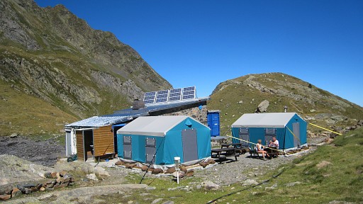 |
A short break at the Refuge de Venasque. |
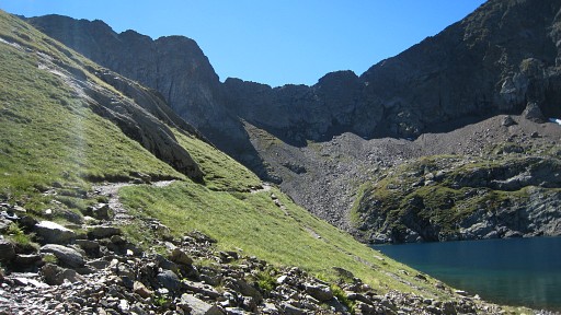 |
And continuing past
this lake to Col de Venasque. |
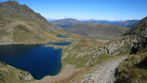 |
Beyond the lake
looking back. |
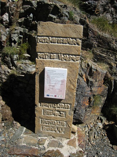 |
A monument on the
Port. |
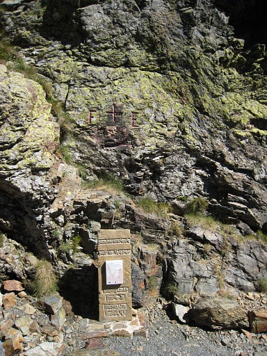 |
Bm332. Above the monument, there’s a cross with F and E but no engraved number but a painted one. It’s on the east side of the ‘brèche’ as it should be according to the Procès Verbal but the absence of an engraved number is uncommon. |
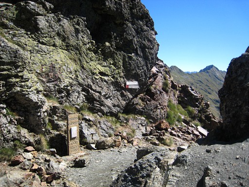 |
An overview of the
pass with bm332. |
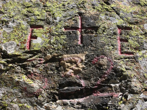 |
Bm332, close-up In march 2011 I will learn that in 2002 the Commission Mixte d'Abornement was presented with photographical evidence that the second "3" was in fact a "5". It was agreed that the French delegation would take care of the modification. Read it in these proceedings. |
 |
From the
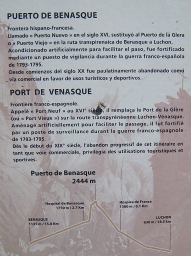
information panel on the monument: Being called the "Port Vieux" in the 16th century, it replaced the Port de Glère (with bm331) on the Luchon - Vénasque route. The pass itself was artificially adjusted to facilitate the passage. During the French-Spanish war 1793-1795 a surveillance post was constructed here. From the beginning of the 19th century the commercial use of this trail diminished rapidly. |
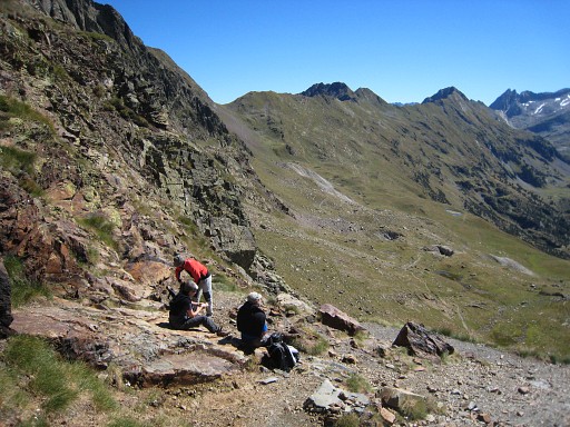 |
I descend and then take a trail (waymarked, just beyond a sort
of
km-sign (Luchon-Venasque) to the left (west) in the direction of Pas de
l’Escalette. But first you pass the Port dera Picada (that’s the one you see from here, at the Port de Venasque). |
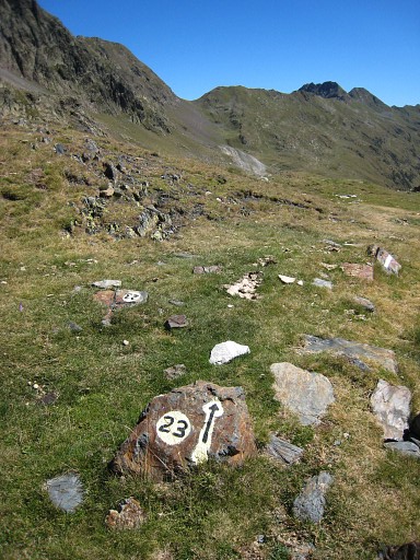 |
The Port dera Picada getting nearer, following trail nr.23. |
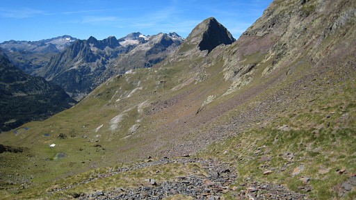 |
And looking back at
Port de Venasque. |
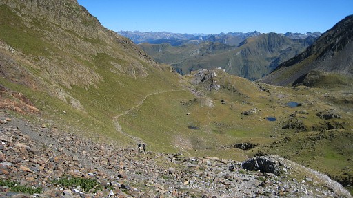 |
From the Port dera Picada the next pass - Pas de l’Escalette - is visible. |
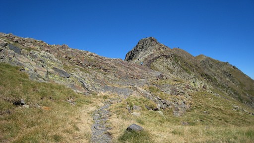 |
Approaching the Pas de l’Escalette |
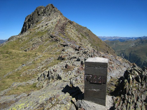 |
First there's
bm333, on the summit in the background is bm334 |
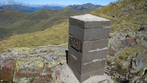 |
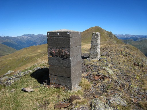
Bm333 |
 |
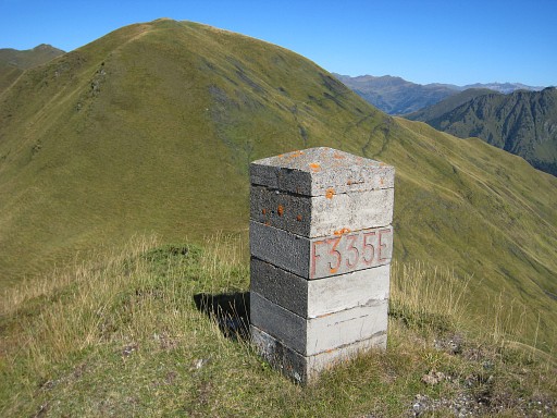
Bm334 on the
summit. |
 |
Then it’s following the path - a sort of shortcut - descending to bm335. |
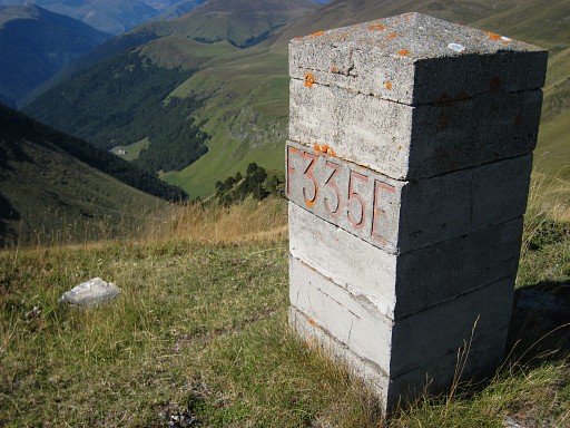 |
Bm335, just off the path |
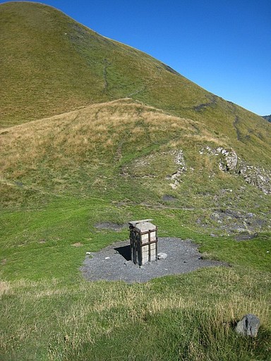 |
and descending to bm336 on pass Pas de la Mounjoye. |
 |
Bm336 with its metal frame |
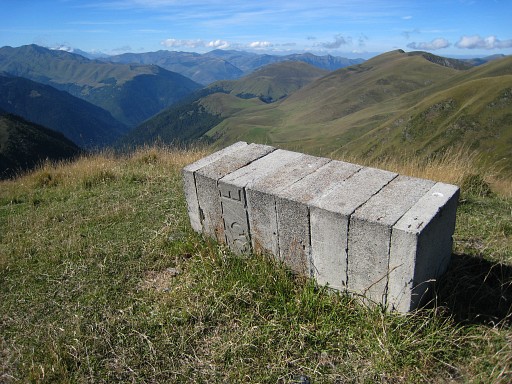 |
I leave the path
and will follow the border-ridge untill Roumingau with bm340. This stretch of border-ridge (with bm337-339 on it) requires a steepclimb to get on it. Encircling that first Pic at the east-side might make it easier But first along bm337 |
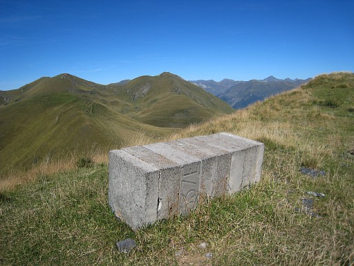 |
Bm337 |
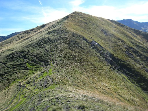 |
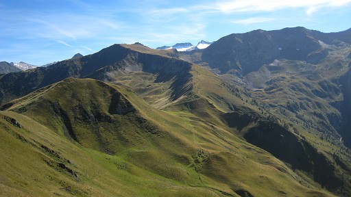
Looking forward
along the border-ridge to Pic de Roye with |
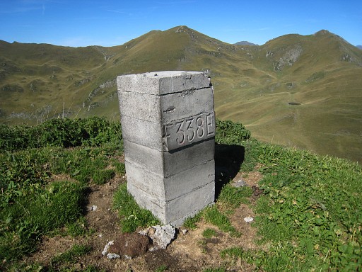 |
Bm338 |
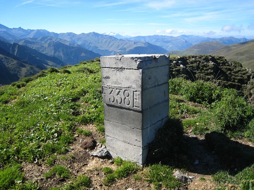 |
Bm338 |
|
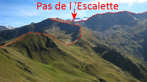
A fine view back at
the borderridge. Move the mouse over the picture to see where Pas de l 'Escalette is. |
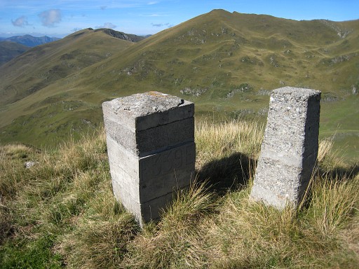 |
Bm339 |
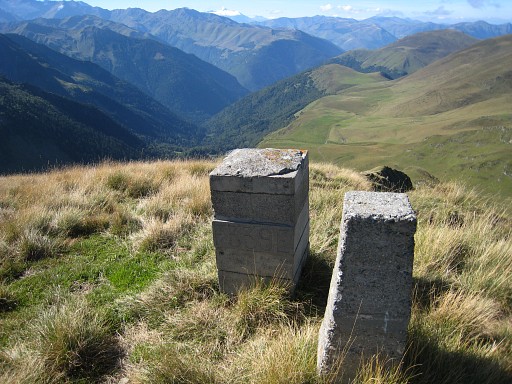 |
Bm339 At the end of this ridge, there's a steep slope, I descend at the west-side of it and continue |
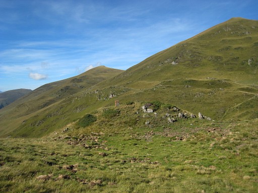 |
to spot bm340 in
the distance |
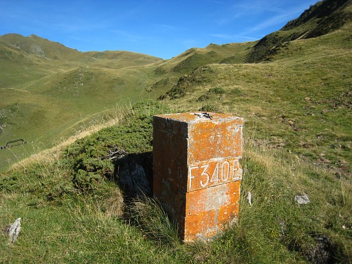 |
Bm340 |
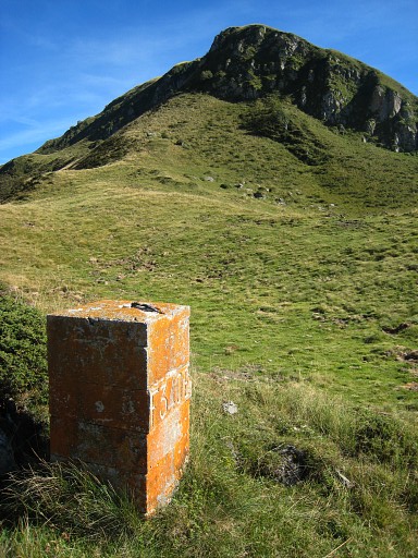 |
Bm340. Looking back to that steep hill slope. I start looking around for a suitable camping-spot and water. |
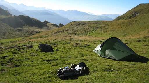 |
Interesting: at
this point the borderline ignores the watershed and makes a shortcut
on the west-side of it. Camp N42 42 56.6 E000 40 40.7 H1893m |
 previous
trip next
trip previous
trip next
trip 
|
|

