|
The
bordermarkers of the Pyrenees : all my trips
|
|
| -
11 september
2010 - Bm359 unfindable  previous
trip next
trip previous
trip next
trip 
|
 |
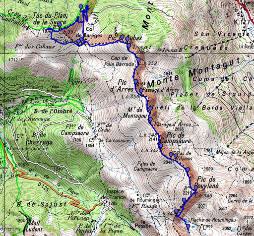 |
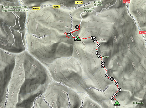
esfr-trip-track-20100911.kml (click to open in Google Earth or copy link to Google Maps; click right on this link to download gpx-version) Summary: part of a 3-days trip around Hospice de France near Bagnères-de-Luchon, exploring bm331 to bm359. Second day: continuing on the borderridge from bm341 to bm358, searching in vain for bm359 Weather: sunny and warm |
 |
For explanation of
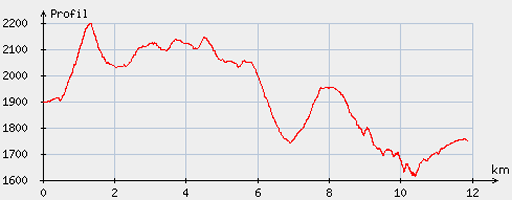
the gps-coordinates and other cartographic backgrounds: see my cartography page Start: 8.45, break: 13.15-14.00, finish: 17.45, net walking time: 8 ¼ According to the gp-tripteller: Distance: 12,7 km Time moved: 4.42h Time standing still: 4.16h In total: 8.58h Total ascent: 966m Maximum height: 2212m |
 |
According
to visugpx - distance : 12.23 km - cum. elevation gain : 878 m - cum. elevation loss : 1024 m - total elevation: 1902 - altitude maxi : 2198 m - altitude mini : 1613 m - altitude average : 1917 m |
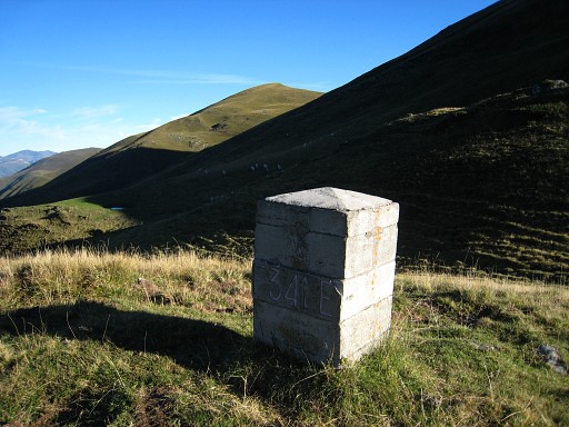 |
An easy start with
bm341 |
|
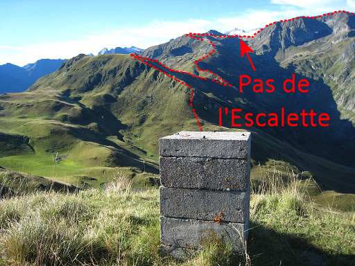
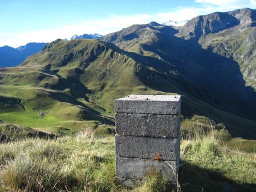
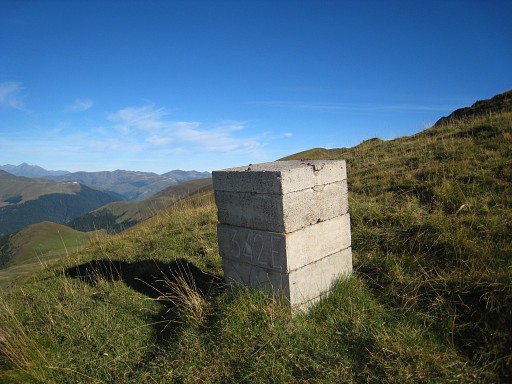
Bm341, looking back
at the borderridge of yesterday, up to Pas de l'Escalette. Move the mouse over the picture to see the borderline. |
 |
but
then a long climb. A climb up to Pic de Poulain (bm343) with
this bm342 in between. |
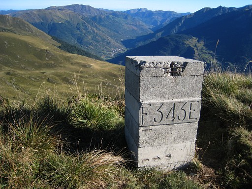 |
Bm343 |
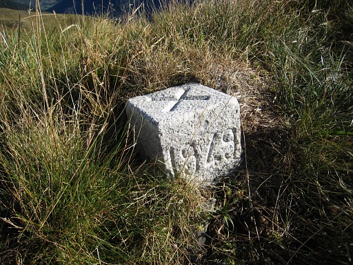 |
An unidentified
marker next to bm343 |
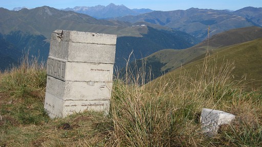 |
Bm343
with that unidentified marker. |
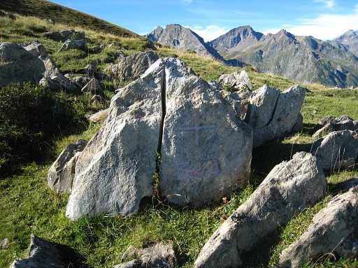 |
Following the ridge, there's a surprise at Pas de Vilamos: bm344 is a cross! |
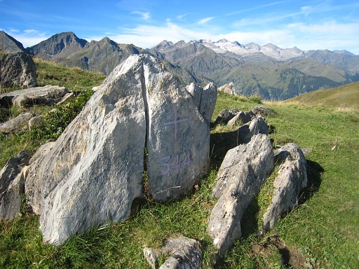 |
Bm344 |
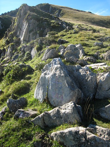 |
Bm344 |
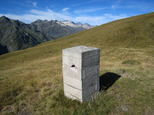 |
Bm345 |
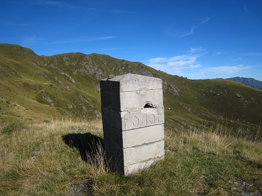 |
bm345 |
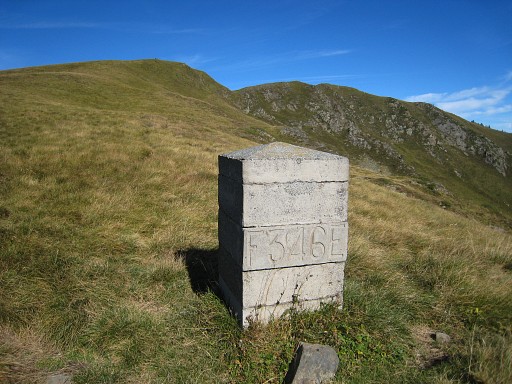 |
Bm346 |
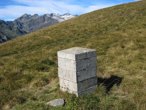 |
Bm346 |
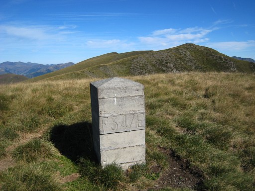 |
Bm347 |
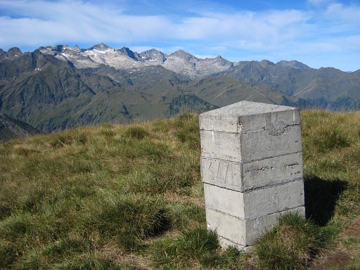 |
Bm347 |
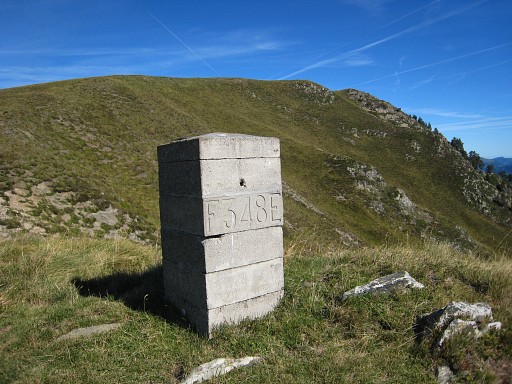 |
Bm348, is wrong indicated at the map, is close to Passage d’Arrou |
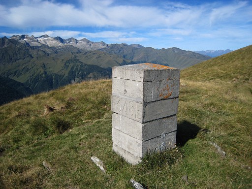 |
Bm348 |
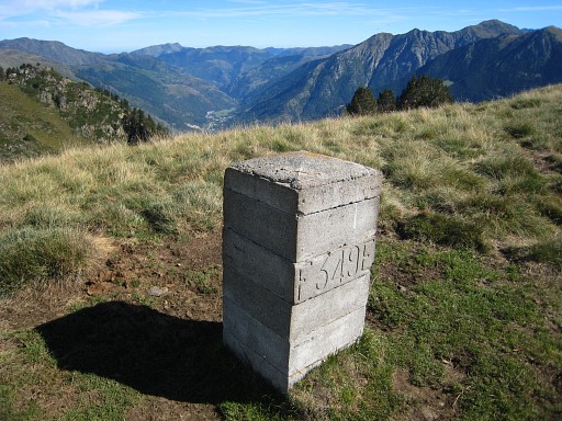 |
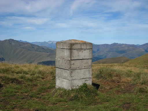
Bm349 |
 |
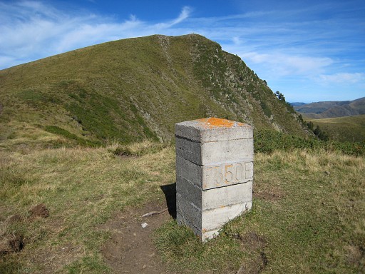
Bm349 |
 |
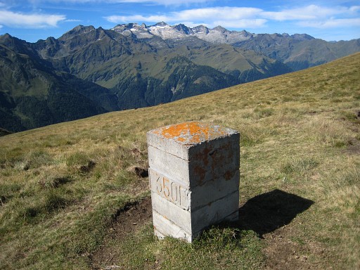
Bm350 |
 |
bm350 |
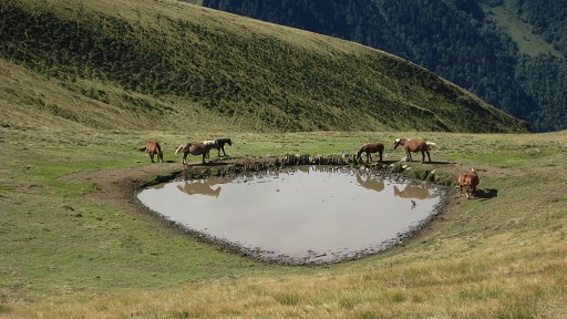 |
A tranquil view in
between. |
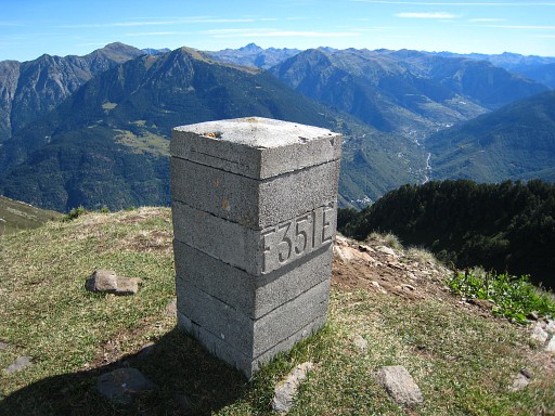 |
Bm351 |
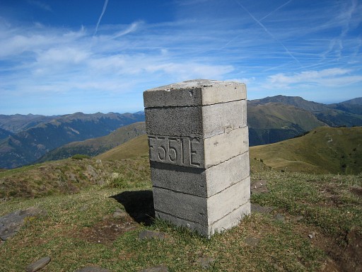 |
Bm351 |
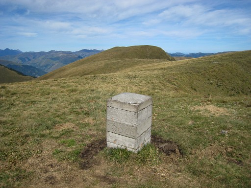 |
Bm352 |
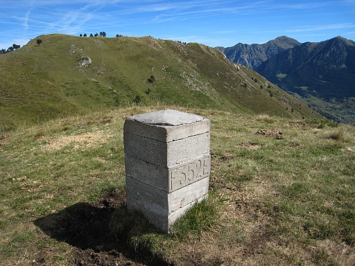 |
Bm352 |
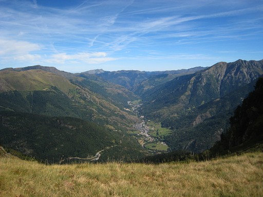 |
Looking northwards
into the valley from Bossost to the border near Canejan. |
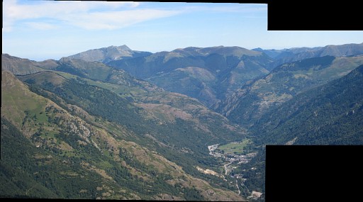 |
This is a zoom-in
of the previous picture, compiled of two zoom-in pictures. |
|
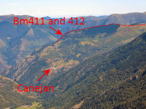
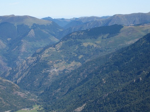
A further zoom-in
in which Canejan and the borderline are well visible. I will walk there two days later. Move the mouse over the picture to see borderline and other details. |
|
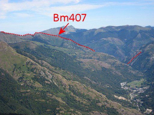
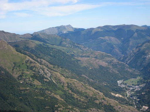
And this is a
zoom-in from the west-side of the valley. Move the mouse over the picture to see borderline and other details. |
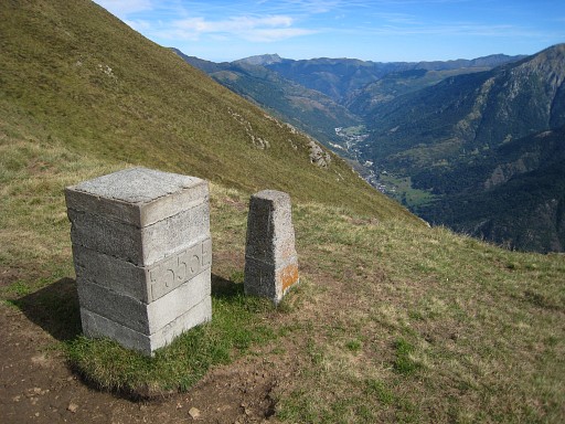 |
Bm353 |
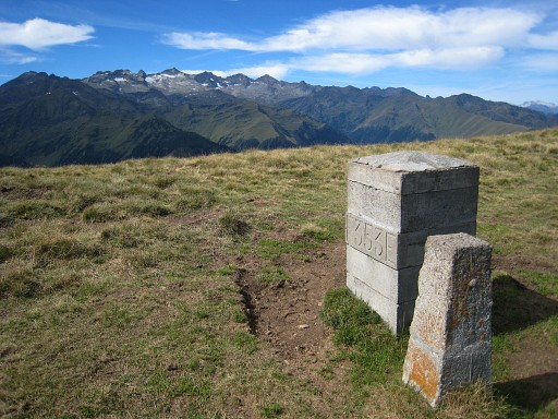 |
Bm353 |
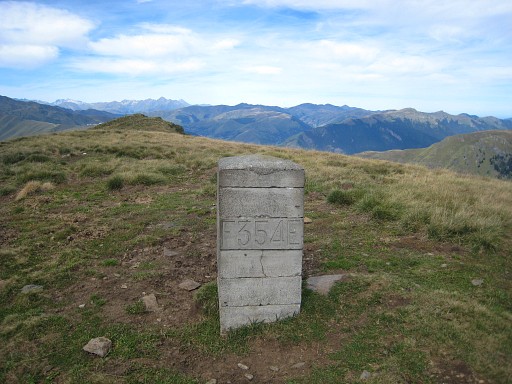 |
Bm354 |
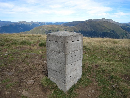 |
Bm354 |
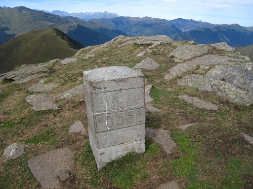 |
Bm355 |
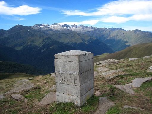 |
Bm355 And then it's a long descent to |
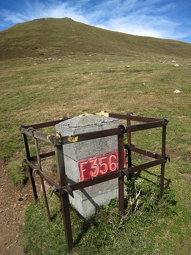 |
Bm356 on Col de Barèges |
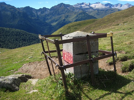 |
Bm356 |
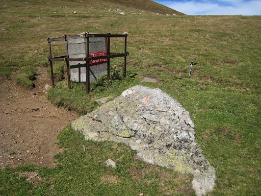 |
Bm356 On the rock besides the bm, we find old engravings. The rock is a centuries-old bordermarker. |
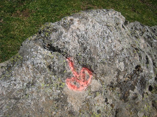 |
The engravings are mentioned in the Procès-Verbal: this is the "Fleur de Lys", the lily-flower |
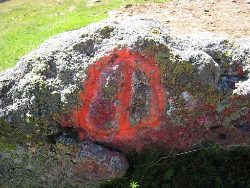 |
And this is the "barres d'Aragon", the circles of Aragon. And remarkable: the Procès-Verbal tells us that this is rock is in between the highest point of Col de Barèges and the "fontaine des Berns". Berns is my surname! |
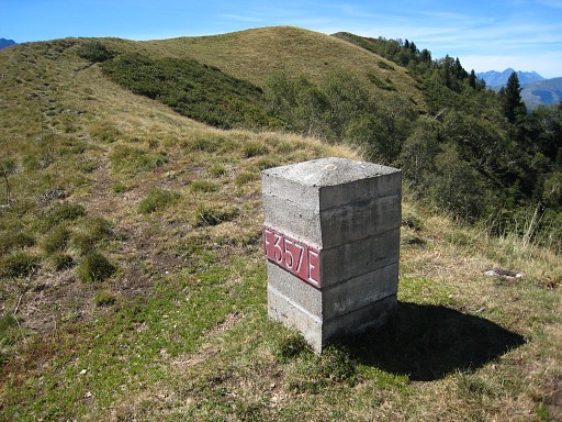 |
After the lunch, I
start to climb to bm357, I assumed it on the next summit but it isn’t.
It’s more halfway the slope at the edge of the forest. |
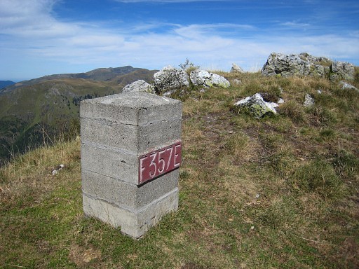 |
Bm357 I have no 25k map of the next bm’s with me and rely on my gps. I have put waypoints of the bm’s in my gps, based on their positions on the Ign-25k-maps. |
 |
To find bm358, I
simply follow the gps-arrow into the forest but that becomes too steep.
Back to the hillridge, descending and down the country road. Just
before the the first bend, the bm is to the left in the forest. |
 |
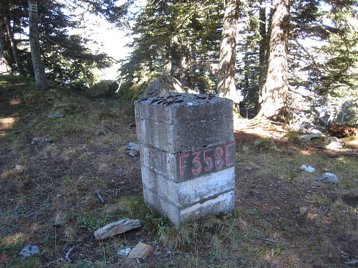
Bm358 Then bm359: I try it directly from bm538 into the forest but again, it gets too steep, same story from the bend in the road. Another try is by entering the forest a bit lower down the road. That provides a better entry and I can descend rather well, despite all the fallen trees. There must have been a tremendouw storm in the last year. |
 |
But I can’t get
close enough to my bm-waypoint (if it’s correct anyway, the waypoint of
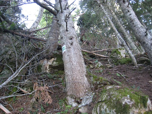
bm358 was ± 80m wrong). I do discover the borderline painted in red and green-white stripes on the trees (seen before in the forests further on, last year) but I can’t find bm 359 on that line either. There are many rocks, some covered up by fallen trees. Without any clue or direction, this one is very hard to find, it it still exists. |
 |
I give up, I climb
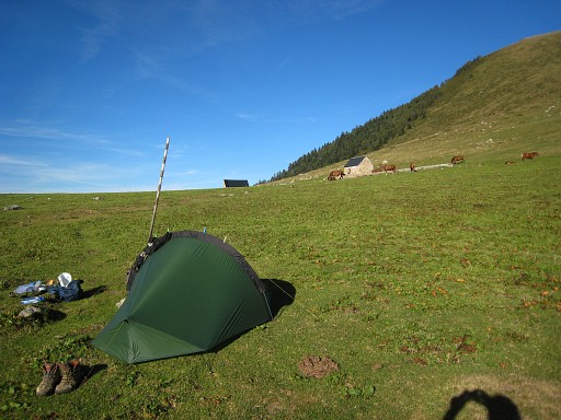
back and pitch my tent near bm356. Camp N42 45 06.0 E000 38 52.9 H1751 |
 previous
trip next
trip previous
trip next
trip |
|

