|
The
bordermarkers of the Pyrenees : all my trips
 |
|
| - 4 september
2011 - Anti-climax |
 |
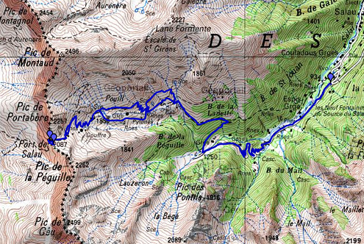 |
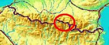
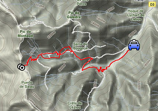
esfr-trip-track-20110904.kml (click to open this trip in Google Earth or copy link to Google Maps; click right on this link to download gpx-version) Summary: part of a 3-weeks trip to the Pyrénées to 'do' the ± 60 remaining bordermarkers. All done as daytrips from campings. Day 18: a roundtrip from Salau to 422bis, the last target of this holiday. Weather: rainy, clearing up around noon |
 |
For
explanation of
the gps-coordinates and other cartographic backgrounds: see my cartography page En route: 9.30 - 14.30 (5h) According to the gps-tripteller: Distance: 18,7km Cum. elevation gain : 1106m Total elevation: 2212m Maximum height: 2057m Time: 4.54h |
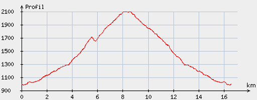 |
According
to visugpx - distance : 16,9km - cum. elevation gain : 1176m - cum. elevation loss : 1181m - total elevation: 2357m - altitude maxi : 2099m - altitude mini : 983m - altitude average : 1519m |
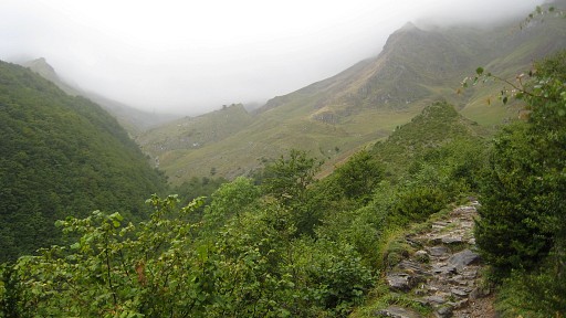 |
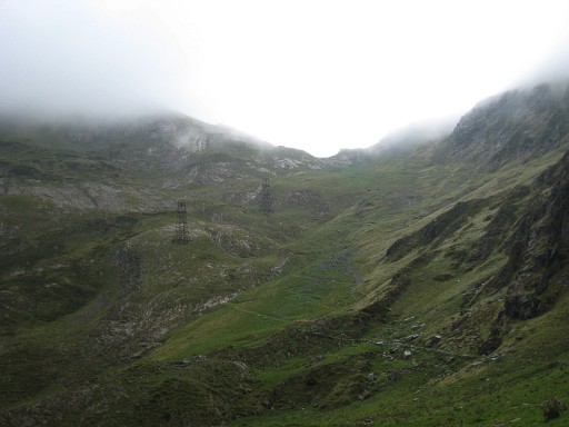
Start from the parking beyond Salau. My basecamp is the camping in Castillon-en-Couseran. There’s a route transfrontalière (red/white) leading to Port Salau. This picture: on my way to the Port |
 |
It took me 2.45h to climb to the Port,
2h back (but partly trailrunning). |
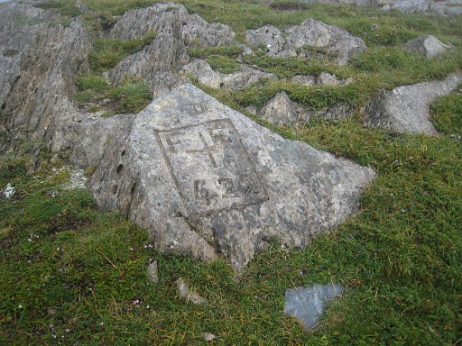 |
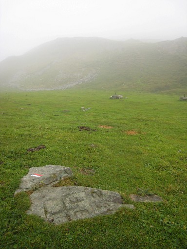
Having arrived at Port Salau, bm422bis is easy to find. I know his position from a picture of the
Darrieu’s. From bm422 it’s SE up the ridge. |
 |
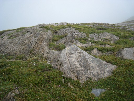
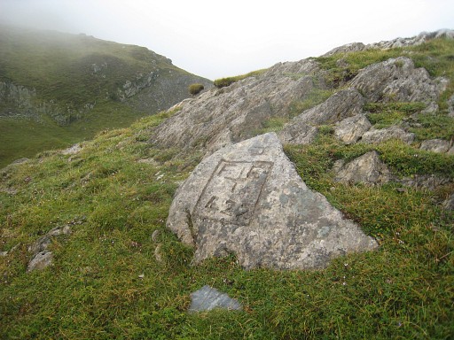
Bm422bis, closeup |
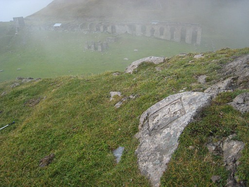 |
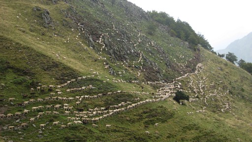
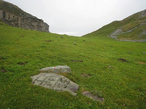
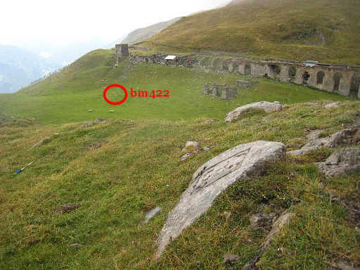
From bm422bis you have a good view of the ruins and the location of bm422. |
 |
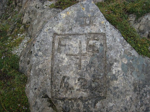
Bm422bis |
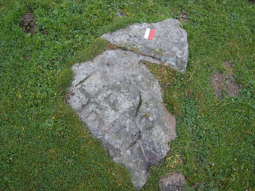 |
I descend back to the pass itself, I find bm422 easily, remembering its position from my visit in 2006. |
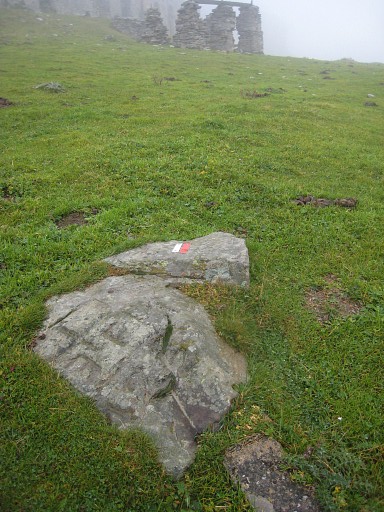 |
Bm422 with the ruins in the background, in particular 6 pillars ± 25m to the NE |
 |
Bm422 with a view to the NW |
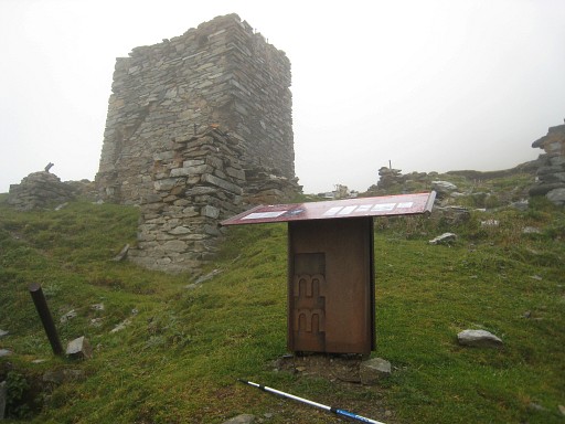 |
A recent phenomen: information panels to boost historical awareness of borderpasses like this one. |
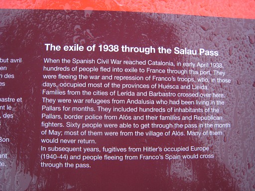 |
During the Spanish civil war and WWII, Port Salau was crossed often by refugees. I take a short break in the shelter in the ruins. |
 |
The clouds are drifting away making the views more clear. Bm422 again, now looking east. The actual pass seems to be higher (to the east) than the position of bm422. But that's not true. On a elevation profile of the pass, bm422 is at the heighest point. |
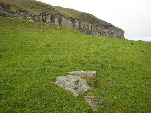 |
Bm422, with the ruins. |
 |
Back to bm422bis |
 |
A last view of bm422bis and the location of bm422 As said before, in the ruins there is a shelter, made shabby by shabby walkers. |
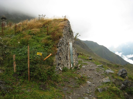 |
There’s a far more decent cabane, ± 20 min. into France along the trail. |
 |
While descending, this view back to the Port. Apart of bm157, I have now found all esfr-bordermarkers which still exist (as far as we know). As always when arriving at a long awaited finish, there’s a sense of anti-climax. Is this all there is? I drive to St Girons to treat myself on a dinner which is - I forgot - impossible in France between 2 pm and 7 pm, adding even more to the anticlimax feeling... |
|
|
|