|
The
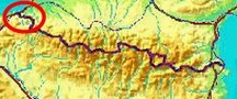
bordermarkers of the Pyrenees : all my trips
 |
|
| -
11 may
2012 - Easy trail to bm001 |
 |
 |
esfr-trip-track-20120511.kml (click to open this trip in Google Earth or copy link to Google Maps; click right on this link to download gpx-version) Summary: part of a 6-days trip - accompanied by Jan-Willem Doomen- with daytrip-targets in the Basque country, near Fos and around Puigcerda. Day 1: investigating trails to bm001 Weather: cloudy |
 |
For
explanation of
the gps-coordinates and other cartographic backgrounds: see my cartography page En route: 16.30 - 18.30 (2h) According to the gps-tripteller: Distance: 2,9 km Cum. elevation gain: 237m Total elevation: 474m Maximum height: 147m Time: 1.50h |
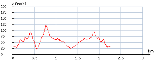 |
According
to visugpx - distance: 2,8 km - cum. elevation gain: 217m - cum. elevation loss: 216m - total elevation: 433m - altitude maxi: 122m - altitude mini: 20m - altitude average: 55m |
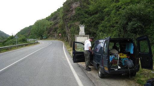 |
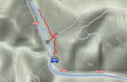
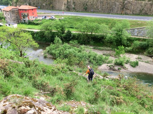
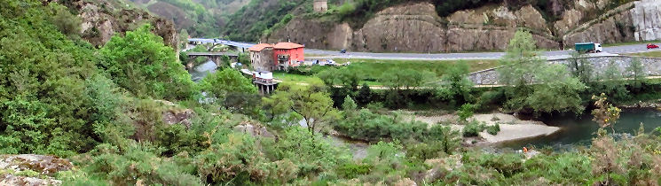
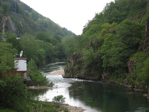
The previous day we drove from Holland, having an overnight stop at a camping in Maçon near Tours. Our target for today: bm001. Point of departure: the 'old' bridge over the Bidasso near the hamlet of Endarlatsa. This picture: the bridge starts at the bend in the road. |
 |
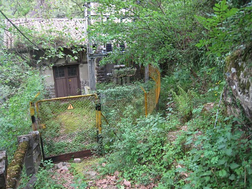
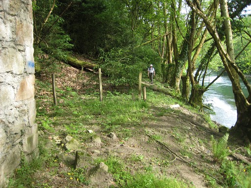
Just before the bridge, at its east-bank, there's a path to an electricity-building. |
 |
Arriving
at its gate, there's a steep trail starting at your right-hand. |
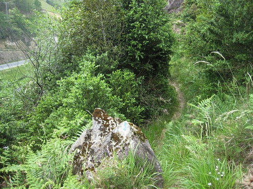 |
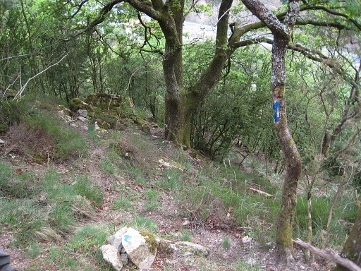
It happens to be waymarked (blue dots) and brings you in ± 10 min. |
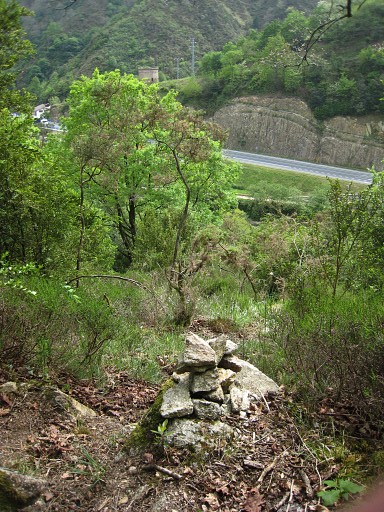 |
to a
point where a blue arrow on a tree points downwards (and a blue cross on another tree prevents
you from going too far). We follow the blue waymarks and cairns downwards to bm001. |
 |
This - from the electricity-building- is the "easy"
route to bm001, mentioned by the Darrieu's and Vigor & Sanz. (Photo by Jan-Willem) |
 Nice panaroma-picture of the scene (photo by Jan-Willem) with me (orange spot) at bm001.
|
|
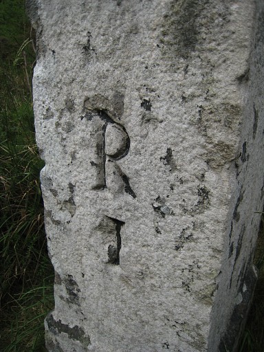 |
Bm001. The R stands for Repère which means place or location. |
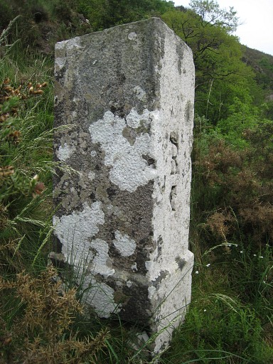 |
Bm001, making pictures like this is not easy on the edge of the steep cliff where this bm is standing. |
 |
Bm001, backside and looking to the old bridge. |
 |
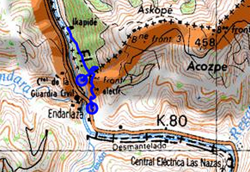
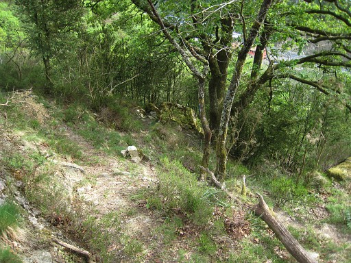
We climb back to the point where the blue arrow point downwards. Spot the small greenish boulder down the hillside where the trail continues to bm001. This boulder - together with the arrow - will help you recognize this location. At this point, there's actually a bifork (see the picture further on). Beyond the blue cross there's a continuation of the blue trail uphill to (I presume) bm002. To the left of the blue cross, another trail leads northwards. |
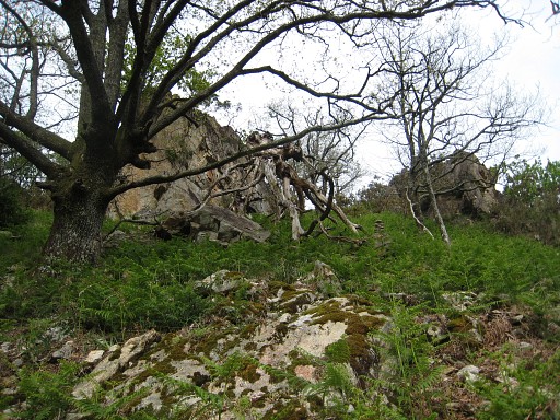 |
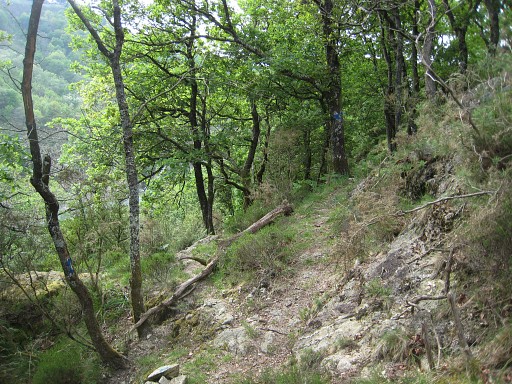
I try the blue trail uphill for a while. This picture: an impression of the steep and rough hillside. On 20090402 there wasn't a trail, I climbed straight uphill to bm002. I return and then we try the other fork northwards along the wooded hillside. |
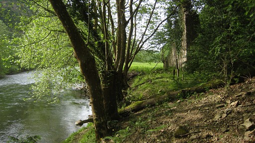 |
It slowly descends and is sparingly waymarked with blue paint and some cairns. It brings us - as we hoped - to the long stretched meadow along the river with a ruin at the forest-edge. We were here before on 20090401 and 20090402 |
 |
This picture: looking southwards. Conclusion: this trail is a connection between the meadow and the borderline. |
 |
Once arrived at the borderline - this picture - (where the blue arrow points
downwards and you can see the small greenish boulder further down), you can descend to bm001 |
 |
and climb back and further along
the blue trail (I presume) to bm002. This picture: looking N the forementioned bifork. To the right is uphill (beyond the blue cross), to the left is towards the meadow along the river. |
 |
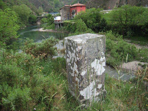
We're back at the bridge. You can see bm001 (white spot) at the 'cliff'. |
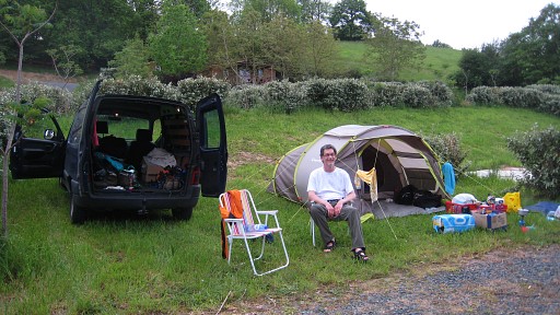 |
Via Elizondo in Spain, we drive to a camping in Saint-Étienne-de-Baïgorry, our basecamp for the next two nights. |