|
The
bordermarkers of the Pyrenees : all my trips
|
|
| - 27 august
2012 - My walking-stick as a geodetic device  previous
trip next
trip previous
trip next
trip 
|
 |
|
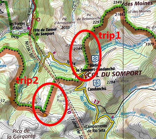
Summary: part of a 2½-weeks-trip to the Pyrenees with a lot of targets, most of them reconnaisances of routes for the GRPdesBF. Day 2: two trips around Col de Somport: 1. investigating the routes to Col des Moines and 2. a search for the original spot of bm297. Basecamp is the Urdos camping. Weather: sunny |
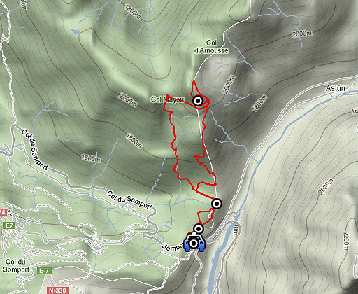 |
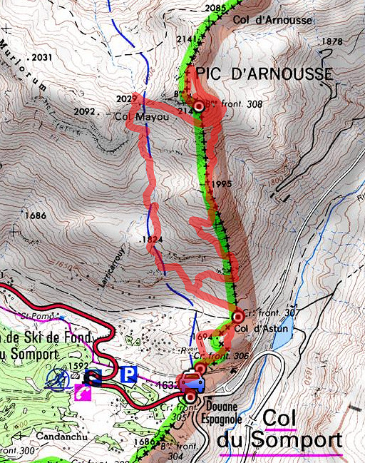
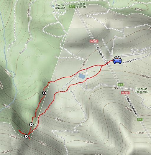
Trip 1 esfr-trip-track-20120827-trip1.kml (click to open this trip in Google Earth or copy link to Google Maps; click right on this link to download gpx-version) A short trip to investigate the routes from Col de Somport to Col de Moines. |
 |
For
explanation of
the gps-coordinates and other cartographic backgrounds: see my cartography page Start: 9.00, finish: 12,30, net walking time: 3.30 According to the gps-tripteller: Distance: 6,5km En route: 3.34h Total ascent: 707m Maximum height: 2123m |
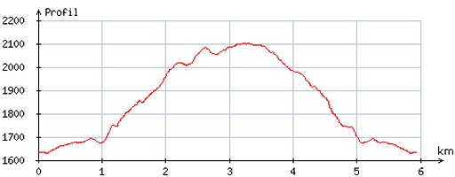 |
According
to visugpx - distance : 6,1 km - cum. elevation gain : 521m - cum. elevation loss : 518m - total elevation: 1039m - altitude maxi : 2102m - altitude mini : 1631m - altitude average : 1839m |
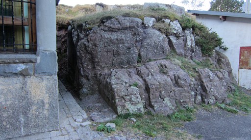 |
At Col de Somport: bm305 |
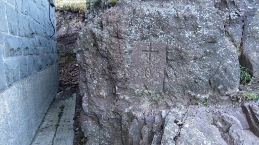 |
Bm305 |
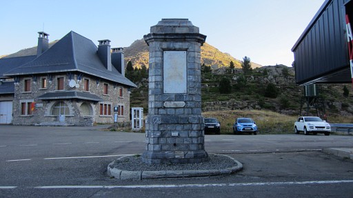 |
Bm305bis |
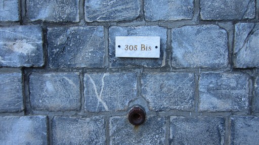 |
Bm305bis |
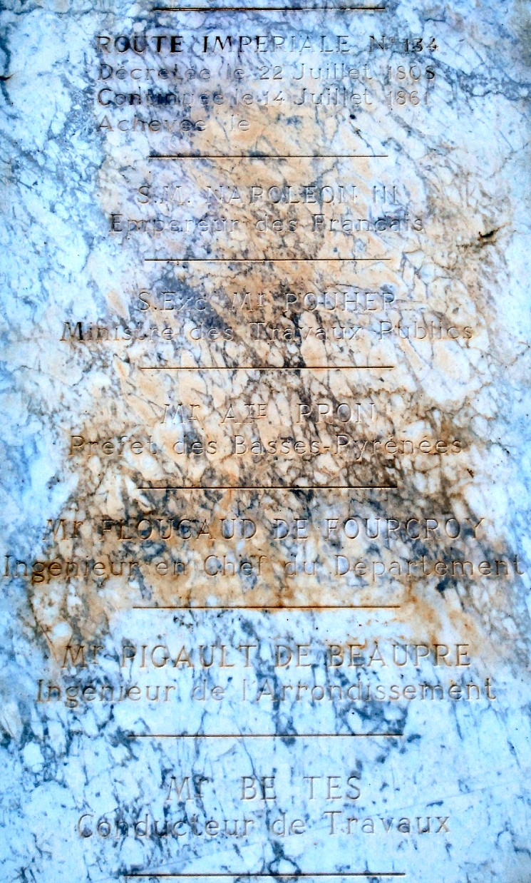 A close-up (digitally enhanced) of the inscription. |
|
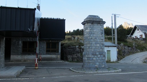 |
Bm305bis and bm305 |
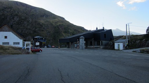 |
Overview of Col de Somport |
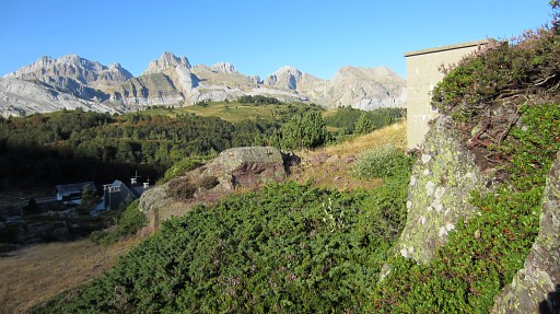 |
Then climbing along bm306 |
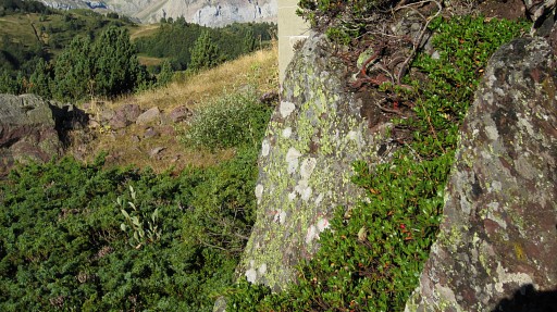 |
Bm306 |
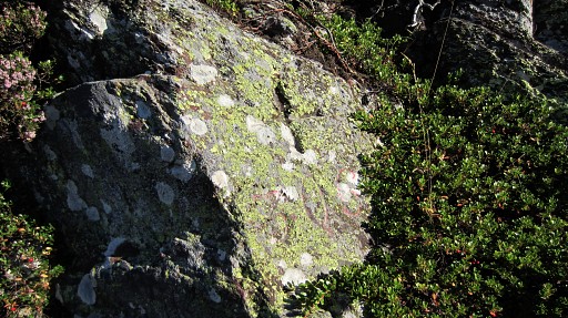 |
Bm306 |
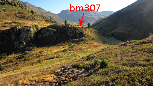 |
Then continue along the trail and take the third ‘valley’ at your right) untill you'll spot the next 'valley'. |
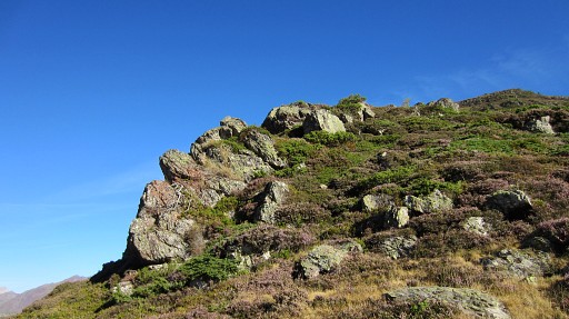 |
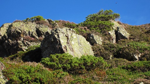
Bm307 from down below |
 |
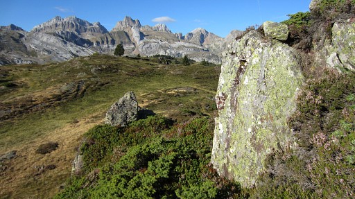
Bm307 zoom-in |
 |
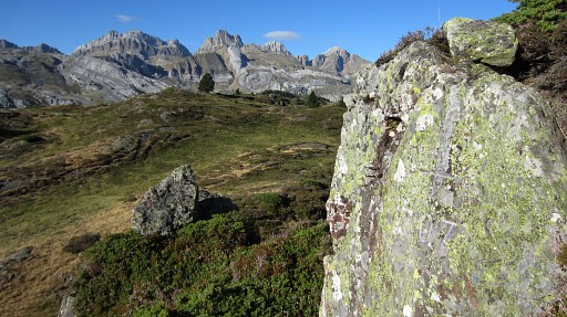
Bm307 |
 |
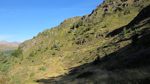
Bm307 |
 |
I semicircle the rocky outcrops of bm307 and then go left (=W) to |
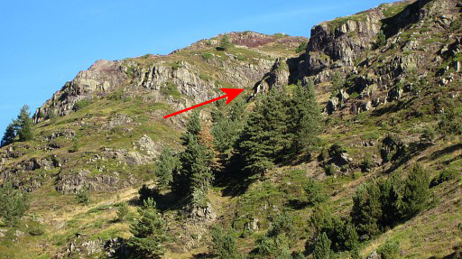 |
where you can start the steep climb N-NW up the ravine. |
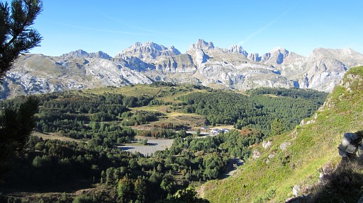 |
While climbing, looking SW |
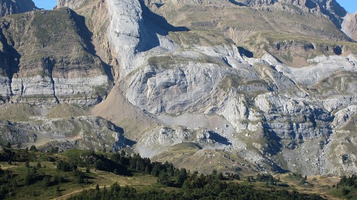 |
to the rockwall where once bm297 was engraved. |
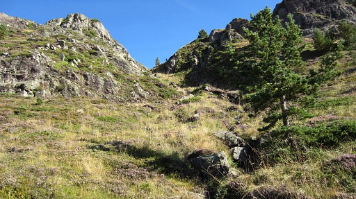 |
Up the ravine, there’s a kind of trail and you’ll get to an upper valley. Now, there are two possibilities: 1. as I did in 2009: at the bottom of the valley go E and climb the ridge, then proceed N to the rocky summit, go around it and then climb its nothern slope to bm308. 2. go N (as I do now) towards |
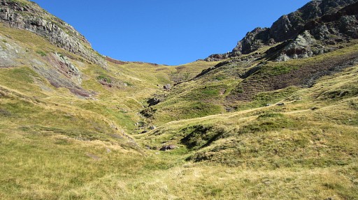 |
Col Mayou, visible on this picture. There's no trail anymore but you can’t miss this col. |
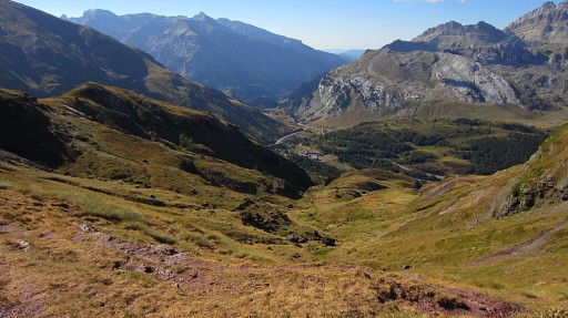 |
At the col, it becomes instantaneous
clear that descending on the other side and curving to the borderridge
and to bm308 is too much a detour. This picture: looking into the valley at the other side of Col Mayou. |
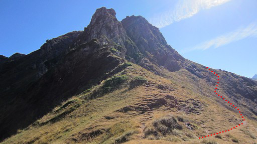 |
But there's another possibility: at the col: go right (=E), approximately as the red line shows. |
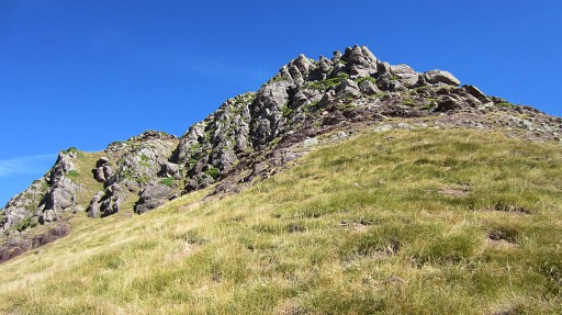 |
and circle - mainly on cattle tracks in the grass - around the rocky summit on which is bm308. Try to keep high, not far below the rocky slope |
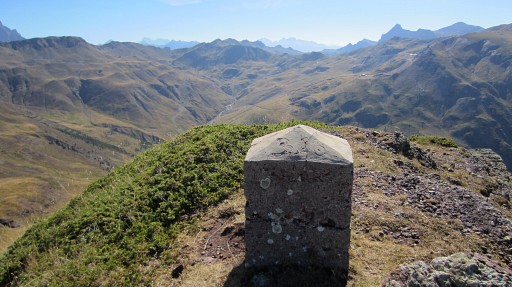 |
After circling it, you can easily climb to bm308 from the N-side |
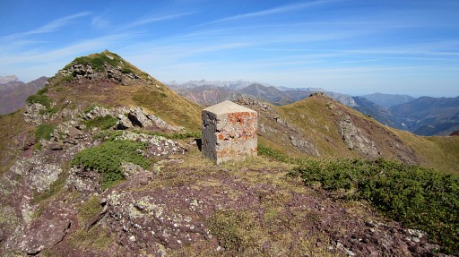 |
Bn308 |
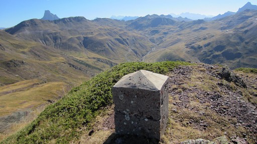 |
Bm308 |
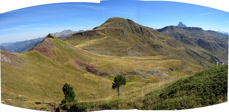 I drop my plan to continue on the borderridge to see if that’s an alternative for my route along the slopes to bm309. It’s more up and down along the ridge than I expected. My original route - along the slope - is faster and more functional. See: 20090907 |
|
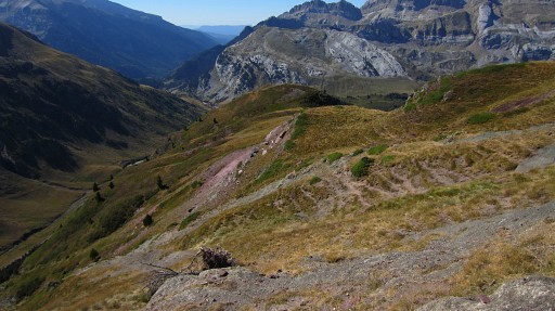 |
Instead, I return to Col de Somport, descending approximately along the borderridge. |
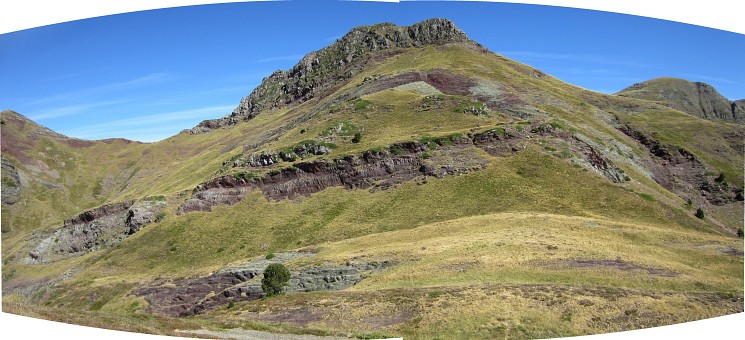 This picture: looking back. We see Col Mayou to the left and on top the rocky summit where bm308 stands. Perhaps this direct route from bm307 to 308 could be an alternative for my route. But it’s not a straightforward climb, let alone trail. Especially the first part from bm307 seems quite tough. My original climb up the ravine to Col de Mayou seems more gentle and nicer and wayfinding is easier. |
|
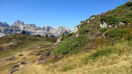 |
On my descent, I pass again bm307 |
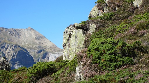 |
Bm307 Then a lunchbreak at Col de Somport. |
|
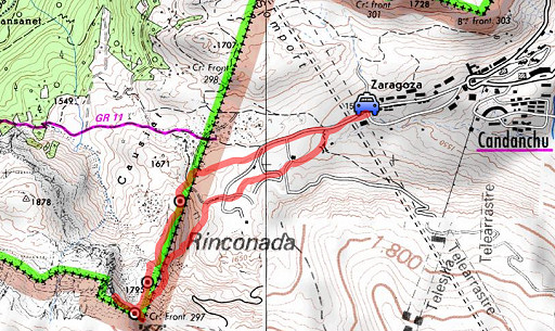
Trip 2 esfr-trip-track-20120827-trip2.kml (click to open this trip in Google Earth or copy link to Google Maps; click right on this link to download gpx-version) A short trip to investigate the original place of bm297, reported since long to be destroyed. |
|
For
explanation of
the gps-coordinates and other cartographic backgrounds: see my cartography page Start: 13.30, finish: 16.30, net walking time: 3h According to the gps-tripteller: no data available |
|
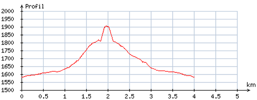
According
to visugpx - distance : 4,1 km - cum. elevation gain : 325m - cum. elevation loss : 323m - total elevation: 648m - altitude maxi : 1906m - altitude mini : 1581m - altitude average : 1687m |
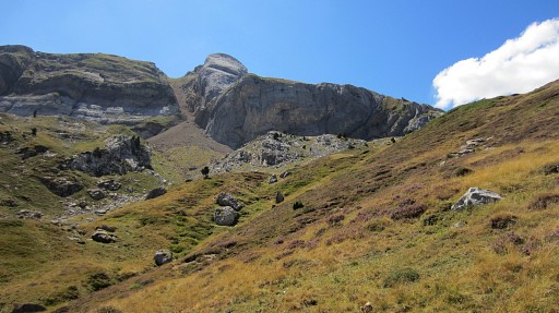 |
From the parking at the ski-station of Candanchu, I walk/climb to the huge rockwall where once bm297 was engraved. |
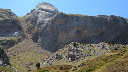 |
Getting closer. |
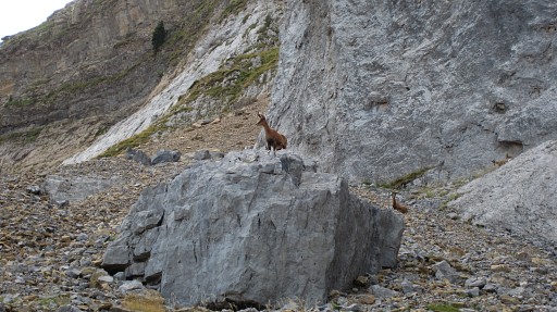 |
Isards watch me. |
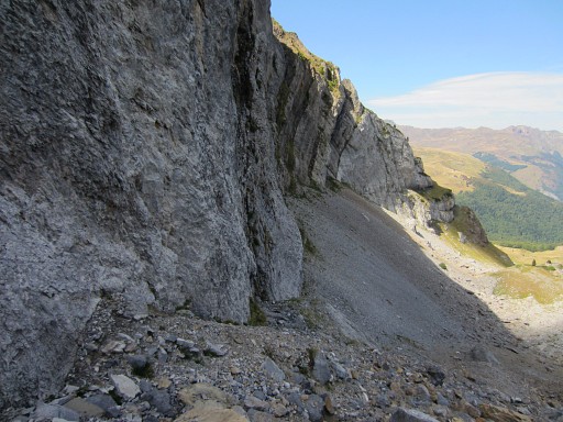 |
I wonder if there is some trace left of this destroyed bordercross 297. I examine the rockwall carefully going hence and forth along it |
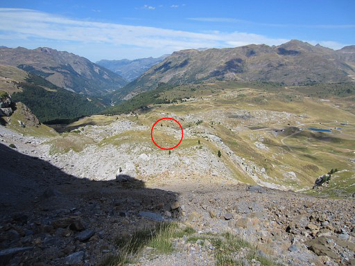 |
From this position you can spot NNE in the (far) distance bm297-replacement and bm297sub1. |
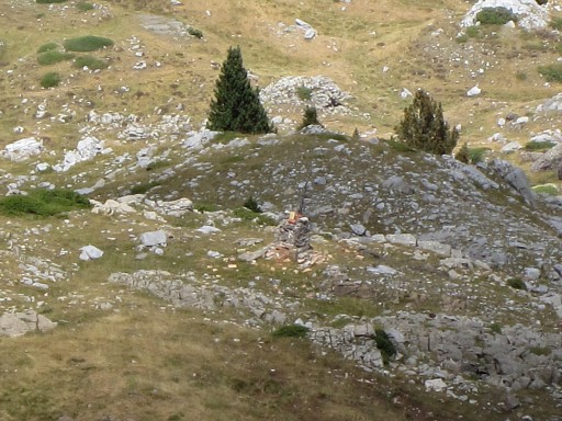 |
Zoom-in of bm297-replacement |
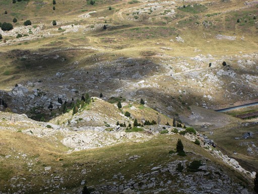 |
Looking further downhill and |
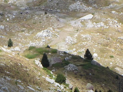 |
spotting bm297sub1 |
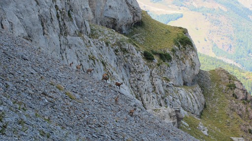 |
I continue along the rockwall, far away there are still isards. |
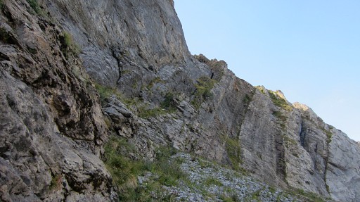 |
And intriguing: a ledge leading up to the upper level. It seems manageable for someone with guts and no vertigo. |
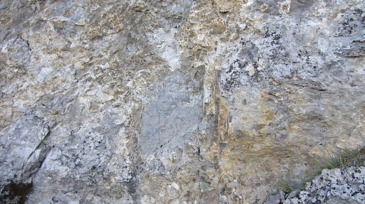 |
However, at one point, the whitish
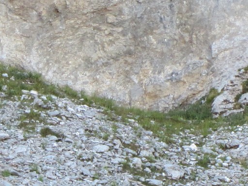
rockwall has a rectangular grey spot, approximately the size of the
bordercrosses we see in this region. However: no trace of any engraving. |
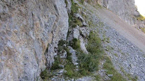 |
The gps-waypoint (based on the Ign-map) is ± 50 to the left but how precise is that? |
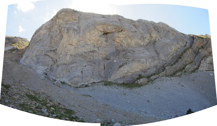 I've finished my check of the rockwall and am proceeding towards bm297-replacement. This picture: looking back at the rockwall |
|
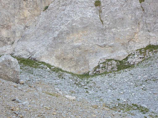 |
with this zoom-in of the grey rectangular spot |
 |
which you can see better at this ultra zoom-in. |
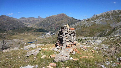 |
This is the masonry replacement of bm297 on a hilltop, say 300m to the NNE. |
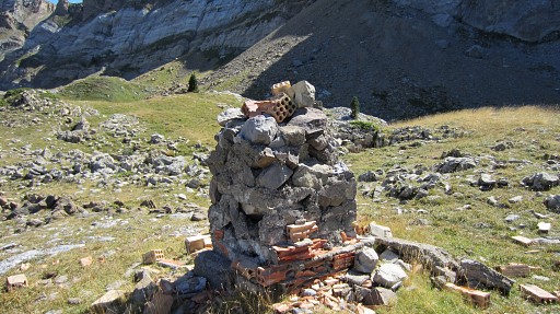 |
It's in bad shape. I know that the original bm297 should have been in one line with the 297-replacement and 297sub1 and 297sub2. From this spot, I can see 297sub1 and I got an idea. |
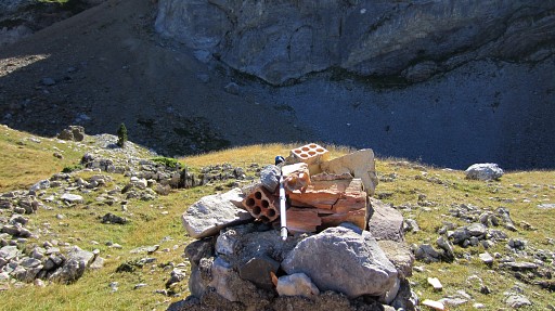 |
I put my walking stick horizontally on the bm297-replacement and direct it to bm297sub1. On the other side it should - henceforth - direct to the former location of bm297. So my walking-stick becomes a simple geodetic instrument. |
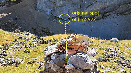 |
Same picture but now annotated |
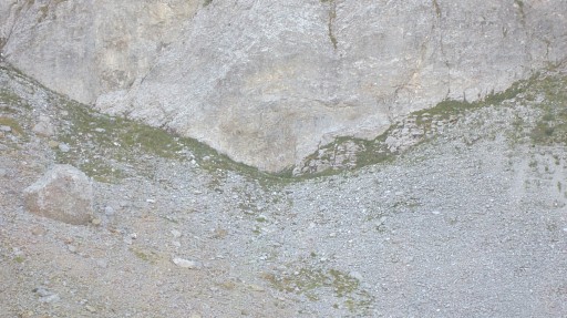 |
And believe it or not: it points to that grey rectangular spot! Well, it’s not that scientific but nevertheless, it gives an indication. I’m content with this geodetic ‘evidence’. |
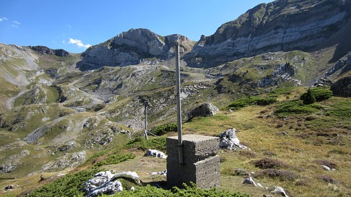 |
Then I go back, via bm297sub1 |
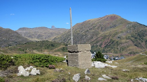 |
Bm279sub1 |
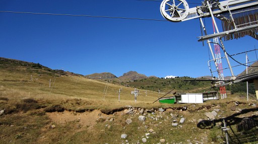 |
And return at the ski-station. |
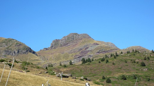 |
In the far distance, a view of the rocky summit with bm308. |
 previous
trip next
trip previous
trip next
trip 
|
|
