|
The
bordermarkers of the Pyrenees : all my trips
 |
|
| -
monday 26 may
2014 - Sermet's mystery |
 |
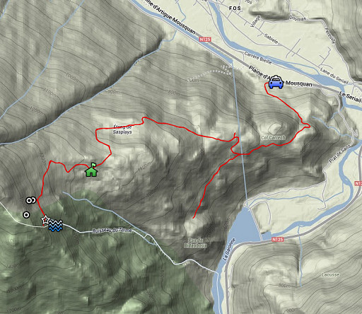 |
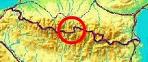
esfr-trip-track-20140526.kml (click to open this trip in Google Earth or copy link to Google Maps; click right on this link to download gpx-version) Summary: a one-week trip to the Pyrenees with Jan-Willem, covering various targets from the Atlantic ocean up to Llivia and including a meeting with 'Murgoi'. Today: from Fos a trip uphill for a new search for the submarkers 408 III and IV. Weather: very rainy |
 |
For
explanation of
the gps-coordinates and other cartographic backgrounds: see the cartography-page Start: 10.30, finish: 17.30, net walking time: 7h According to the gps-tripteller: Distance: 14,3 km Total ascent: 955m Total denivellation: 1910m Maximum height: 1378m Total time: 6.49h |
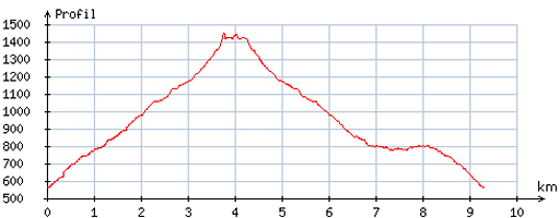 |
According
to visugpx - distance : 9,6 km - cum. elevation gain : 940m - cum. elevation loss : 936m - total elevation: 1876m - altitude maxi : 1448m - altitude mini : 561m - altitude average : 926m |
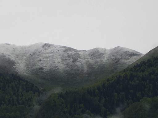 |
Yesterday, we made the transfer from Hendaye to a camping near Bagnères-de-Luchon (camping Arôme Vanille). The weather is disappointing: cloudy and cold. In the morning we see fresh snow on the hills. |
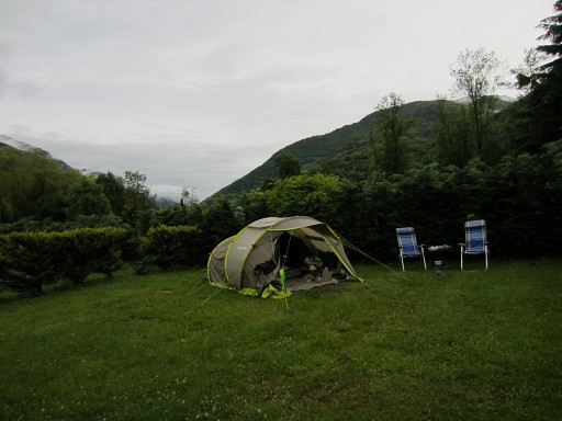 |
And in all wetness, our tent has become a refuge for ... snails. |
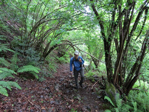 |
We drive to Fos and walk up the trail to Cabane de Héréchet in ± 1.30h. |
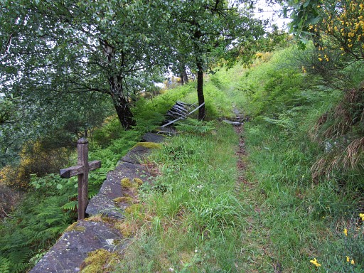 |
Again we pass this wooden cross which intrigues me. In memory of someone who died here? |
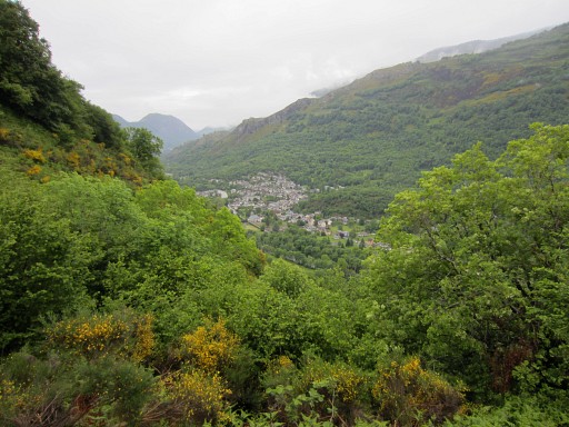 |
A view to Fos |
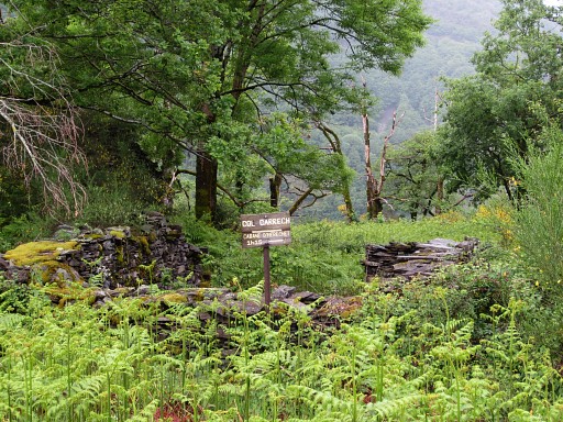 |
There are some waysigns. |
 |
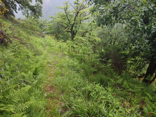
But in general, wayfinding is no problem. |
 |
However, there's
a little wayfinding confusion when we arrive at these two little ponds (Étang de Sasplay) You have to pass along them. On our return we will build some cairns here. |
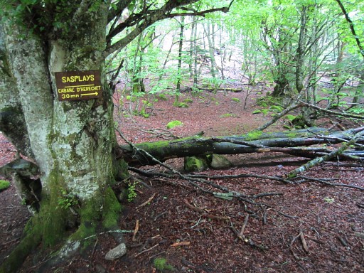 |
There's another waysign here, the time to Cabane d'Héréchet is a bit exaggerated, it's about 15min left from here. |
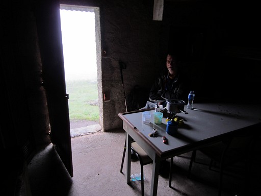 |
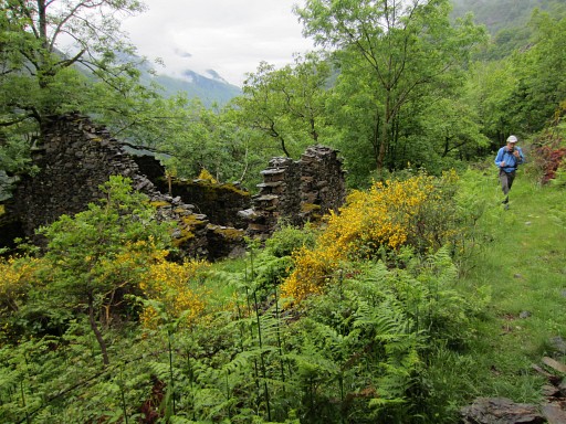
Coffee break at the well maintained Cabane de Héréchet. |
 |
The rain starts again and won't stop until we are back at the car. |
 |
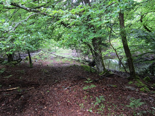
Then taking the trail behind the Cabane, going W. We spot a few cairns along the trail but not very consistent. |
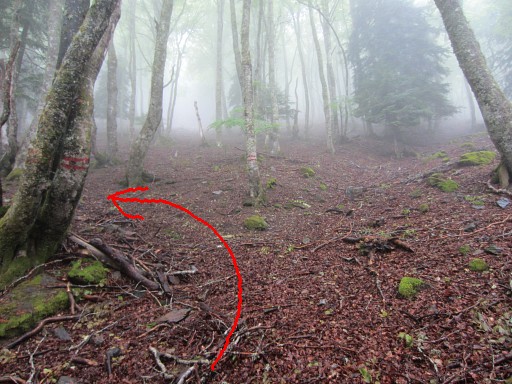 |
The trail brings us to this branch (with double red stripes on 2 trees) to the left. We go left here. |
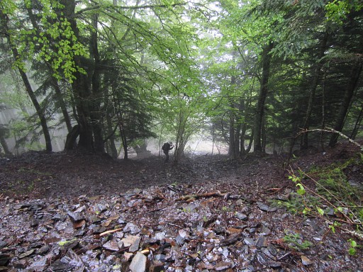 |
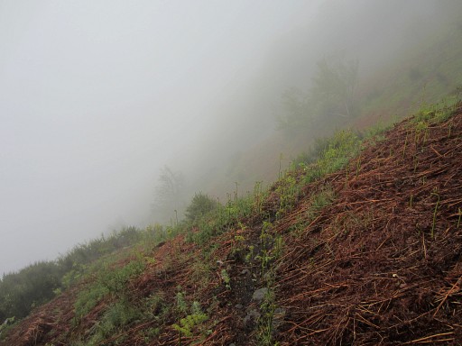
That
trail gets more vague but will bring you at the foot (an open space with
fern) of a steep - almost cascade-like - stream. This picture: Jan-Willem is at the foot of the 'cascade' and I'm on my way to bm408 II. It's all wet and slippery now |
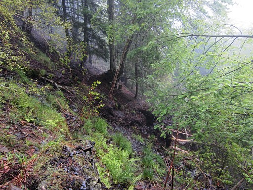 |
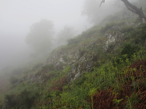
and the climb to bm408 II is difficult enought. You can spot it on this picture. |
 |
Zoom-in of previous picture |
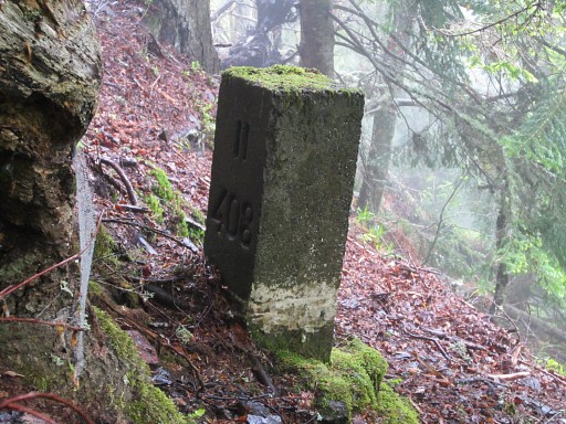 |
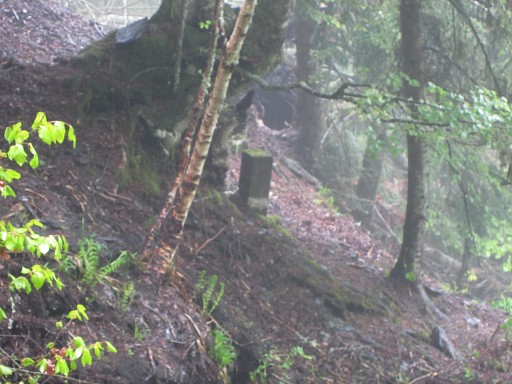
Bm408 II |
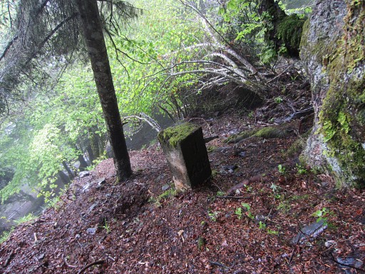 |
Bm408 II |
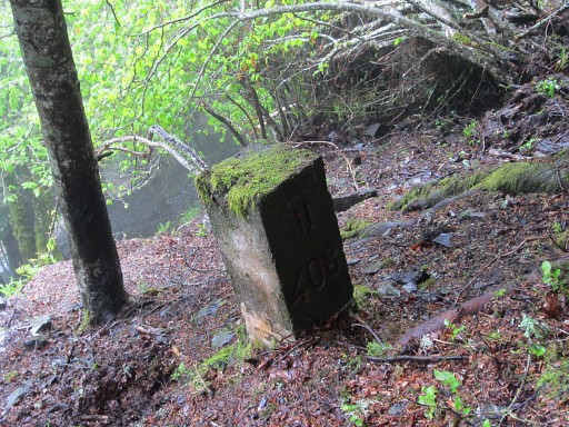 |
Bm408 II Given the wetness and slippery hillside, I skip bm408 I which is ± 20m higher. After all, we are here to find bm408 III and IV. |
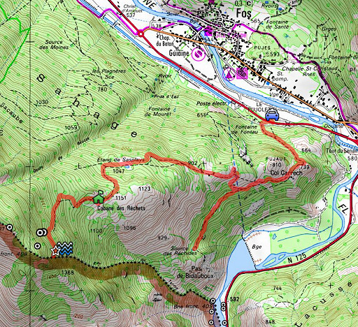
| After studying a 'dossier'
compiled by the Darrieu's with the documents, dating from the early
sixties, about the border-incident and the placement of the
408-submarkers, I have a new theory. You might first read the second version of my special page on the bm408-submarkers which now includes information from that 'dossier' and the explanation of my new theory. Let's show a map (French IGN-map) of the area with the various borderlines: 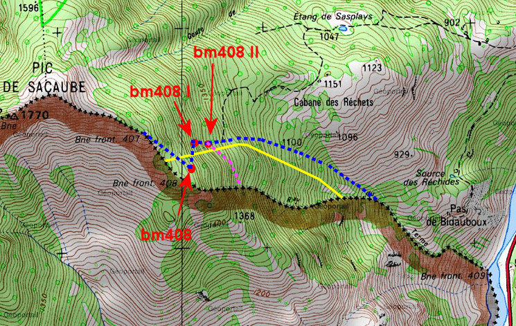 - the borderline according to the French cartographers is obvious: the Ruisseau du Terme. - the yellow line is the approximate borderline as shown on the Spanish ICC-map which roughly coïncidides with: - the blue dotted line. I first thought that the blue dotted line was the borderline as 'corrected' by the delimitation-commissionair Jean Sermet. That's the course of a stream to the north of the Ruisseau des Thermes which starts at the 'cascade' of bm408 I and II. Bm408 III and IV should have been - in this point of view - placed somewhere further along the blue line. But where? Charles and Josette walked up the blue line starting at the Garonne but found nothing. But after studying the additional information of the 'dossier' I have reason to believe that the missing submarkers were placed in a line from plusminus bm408 II to the beginning of Ruisseau de Thermes. And that's more or less: - the purple line. |
|
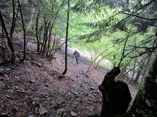 |
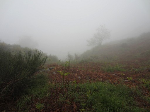
At home, I have made waypoints of the beginning of the Ruisseau and these will be our focus now. This picture: Jan-Willem is at the bottom of the 'cascade' and I have found a vague trail which goes approximately SSE. |
 |
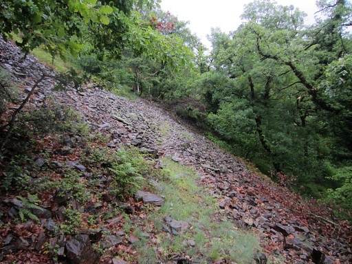
After ± 125m climbing through the forest it reaches open space which the trail crosses approx. SSW. But the wetness and low visibility makes our search a very difficult task. But we can see that we are at the top of a sort of ravine which must be the beginning of the ravine which will become the Ruisseau des Thermes. |
 |
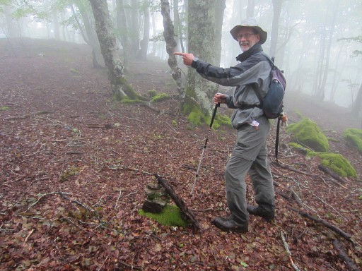
This picture: along
the trail, on top of that ravine, there's a rocky formation which could
be well the spot of the Croix de Malfrenor. The waypoint that I made of the Croix (it's on the French cadastral map) is about here. |
 |
I continue for a while on the trail. Where
it goes to, we don't know. Perhaps it climbs to the ridge towards bm407. But considering the weather conditions, it's been enough for today. |
 |
We
return to the 'cascade'. Then - the trail not being obvious in the beginning - to the merging with the other trail (with the double double red stripes). Then back to the Cabane. We enhance wayfinding by erecting some cairns. |
 |
Then returning to Fos. In between we try the side-trail going W. Perhaps it's a more direct way downwards to bm409. That trail is shown - I see that afterwards - on the French IGN-maps and does not descend to the Garonne. |
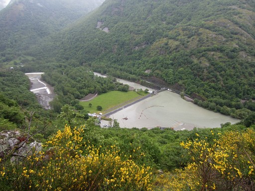 |
A view to the barrage in the Garonne. |
 |
As said, the trail doesn't descend to the Garonne but
it does approach the Ruisseau des Thermes. We don't go that far, the trail gets a bit blocked by fallen trees. On the IGN-maps it ends also here. Moreover it has no use for the GRPdesBF as a shortcut to bm409. But it might be an interesting access to the Ruisseau des Thermes for an investigation upstream. |
 |
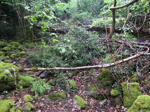
We return, this picture: part of this side-trail. In Fos we check the camping municipal: it's has closed down. The village loses facilities (shops, camping) with every visit in the last years, so it seems. Luckily the Gîte d'Etape in Fos is still open. |