|
The
bordermarkers of the Pyrenees : all my trips
 |
|
| -
saturday 24 may
2014 - Meeting Murgoi |
 |
 |
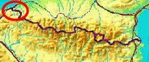
Summary: a one-week trip to the
Pyrenees with Jan-Willem, covering various
targets from the Atlantic ocean up to Llivia and including a meeting
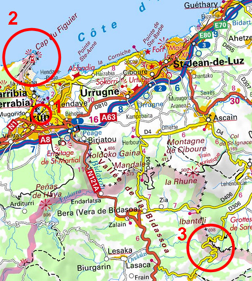
with 'Murgoi'. Today: the long awaited meeting with 'Jesús'Murueta Goikoetxea aka 'Murgoi' or "el Canadiense'. First we visit the old borderposts on a borderbridge (1), then drive to the Capo Higer (2) finishing at Col de Lizarrieta (3) Weather: dry and pleasant |
 |
Yesterday we (Jan-Willem
Doomen and I) drove in one day from Holland to Camping Carrouleta
close to Hendaye. We had a lot of rain yesterday but today it's dry and pleasant. |
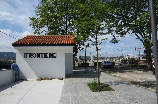 |
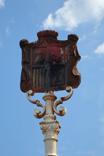
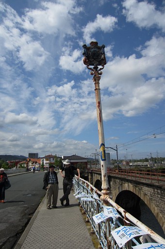
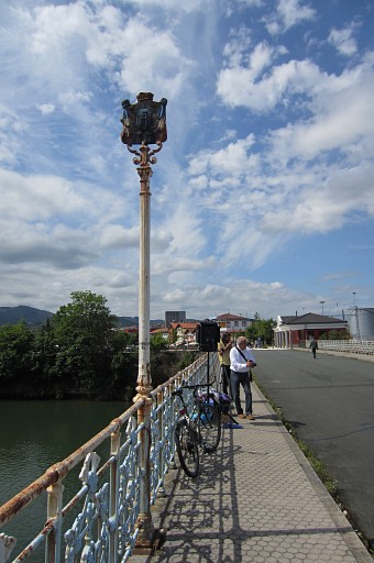
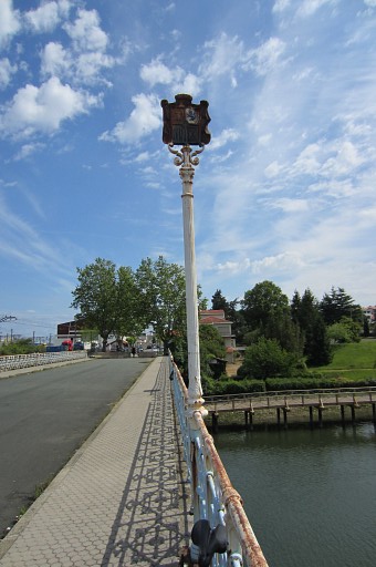
Our meeting is scheduled
at 12am at the main 'Santiago'-bridge between Hendaye and Irún. But first we visit the pedestrian-bridge next to it. |
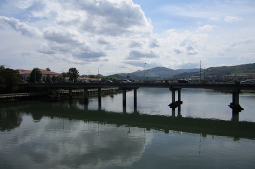 |
To the left there's the
motorcar-bridge where we will meet Murgoi. |
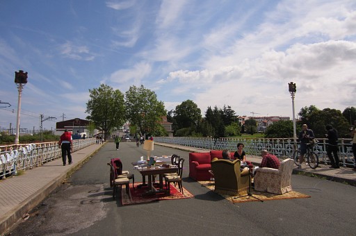 |
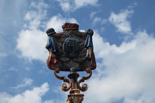
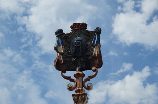
On the pedestrian bridge
we see the old posts with the Spanish
and French weapons. It was Jacques Koleck who informed me of their existence, already mentioned in the treaty of 1856. See this page About the living-room furniture on this picture: that was meant for a radioshow today. |
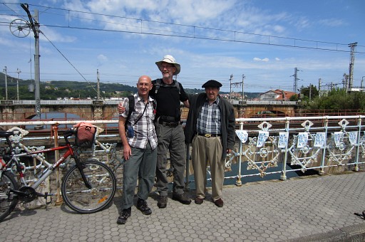 |
We have found Murgoi and
together we are back at the footbridge. Murgoi- a proud Bask, living since long in Canada - searched and photographed the markers 1-272 in the years 2000-2003. He wrote an elaborate account of his quest ("Mugarriak"), covering all these bordermarkers with pictures, directions, descriptions. It's available on this website as a pdf: the Murgoi-files (note: it's a large file -280mb - and downloading takes time) |
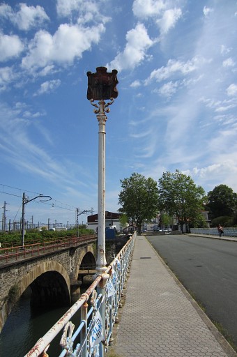 |
I take my change to
photograph the four posts. This is the northern one, looking towards France |
 |
with this weapon |
 |
The same post, now looking
towards Spain |
 |
with this close-up |
 |
This is the southern one,
looking towards Spain |
 |
with
this close-up |
 |
Same post, now looking to
France and |
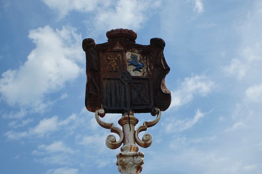 |
in close-up. |
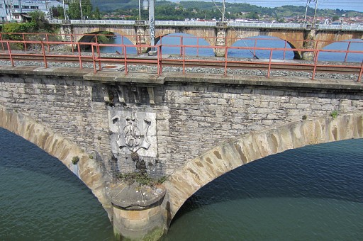 |
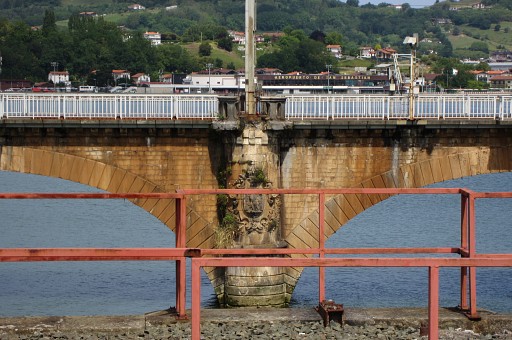
Then a few pictures of the
railbridge next to the footbridge with its weapons. This is the left pillar with |
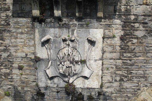 |
this close-up. The 'weapon' contains: A XII ( = Alphonse XII, king of Spain) |
 |
And this is the right
pillar |
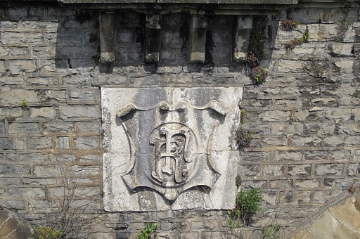 |
On this zoom-in we can see
the letters RF (République française) |
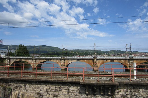 |
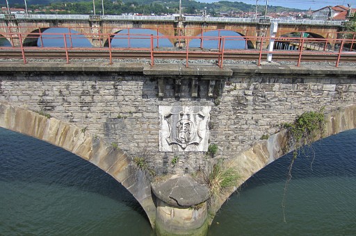
Then focussing towards the
second and larger railwaybridge. There are five pillars with ornaments |
 |
But it's too far away to
distinguish them well so we show only one of them in close-up. |
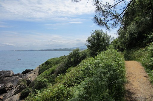
| Trip 2: Then a drive to Cabo Higer with its splendid view of the ocean. That's where my Grpdesbf-trail starts but I have never been there. I make pictures and together Murgoi and I walk the first part of it, a lovely trail above the coastline. 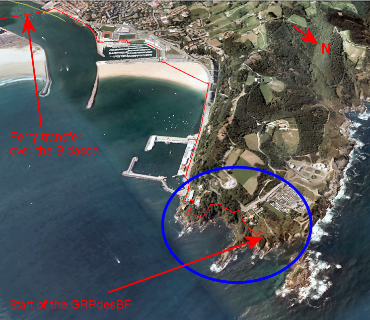 |
|
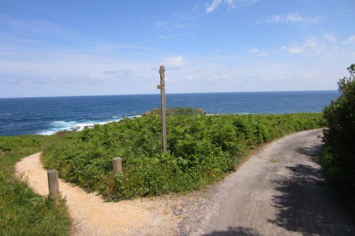 |
This is about the
beginning of the GRPdesBF-trail. The trail left brings you closer to
the coast |
 |
Murgoi enjoys the view
over the ocean and |
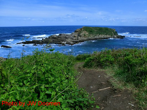 |
this small island before
the coast. |
 |
Then we start with the
trail |
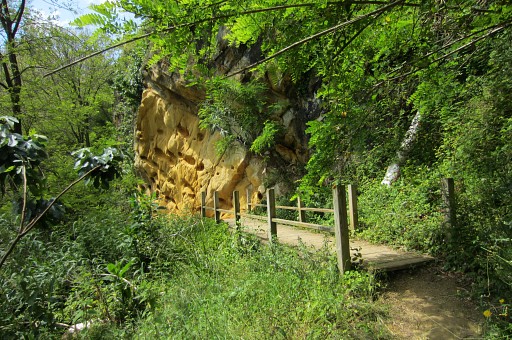 |
through the forest, |
 |
along the hillside above
the ocean. |
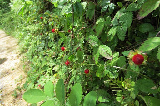 |
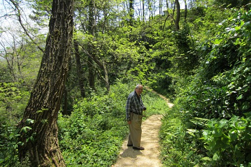
It's Murgoi who spotted
these wild strawberries |
 |
Looking back and |
 |
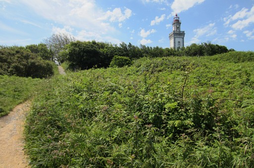
and looking forward. The trail reaches a tarmac road |
 |
which brings us to the
coastline where Jan-Willem is waiting with the car. |
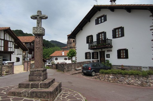 |
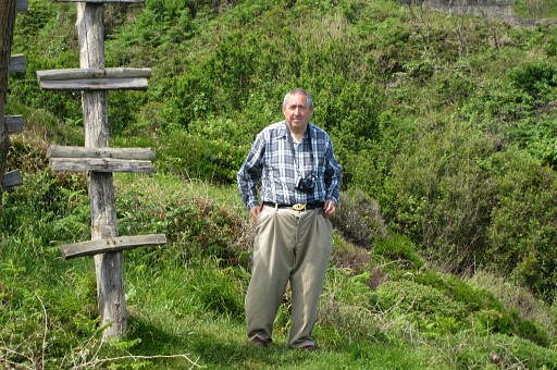
Then driving to Col de
Lizarrieta
with a little stop in the lovely village of Etxarra. Murgoi wants to show us this old cross and |
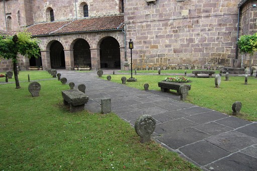 |
these old celtic-looking
crosses / gravestones on
the churchyard. He is very proud of the Bask cultural heritage and despises all intruders including the Catholic Church. |
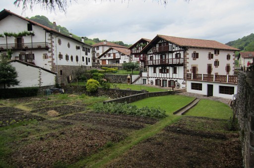 |
A view of Etxarra. |
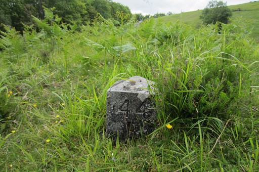
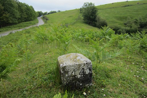
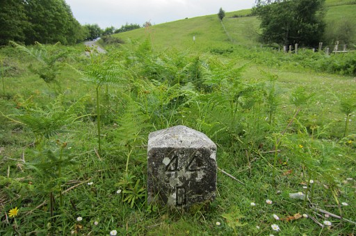
| Trip
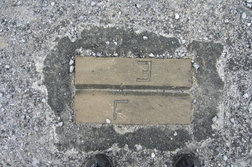
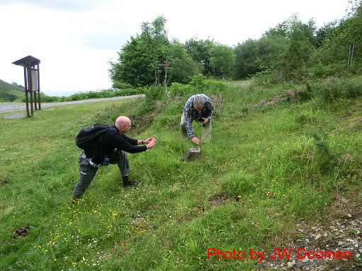
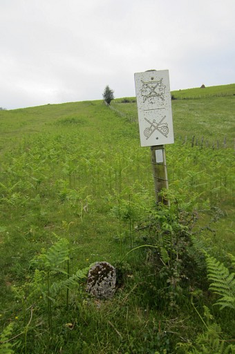
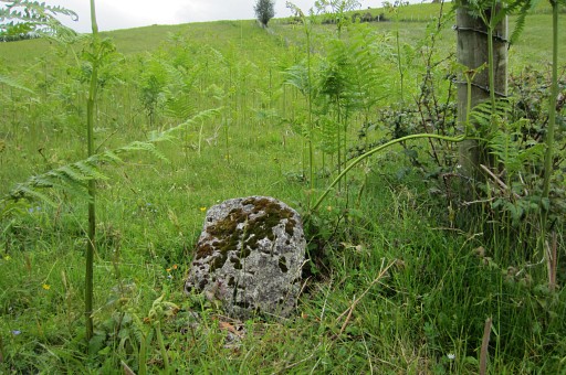
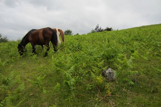
3 At the Col de Lizarrieta we visit the bordermarkers 44 to 45, including the submarkers A-L. And we photograph the two F/E-plaques at the col itself. A third one is (probably) buried under the tarmac. 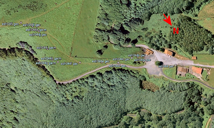 |
|
 |
First we 'do' the
two F/E-plates between bm044 and 044A. These two pictures from the Darrieu's |
 |
show their positions very well. |
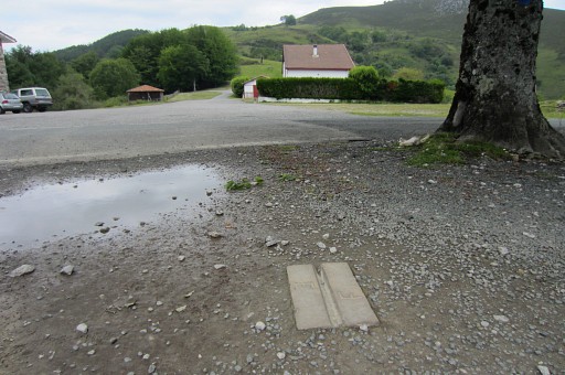 |
This is plate 2 |
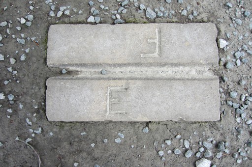 |
Close-up |
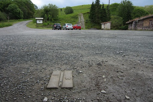 |
Plate 2, looking towards
bm044A (at
the beginning of the green hillside). Plate 3 should have been underneath the white car, that's what we thought. The distances between all markers are recorded in this pdf-document: from plate 2 to 3 = 32,9 m, from plate 3 to bm044A = 3,8m With appropiate tools, one could try to uncover the third plate, its position can be measured quite precise, I think. |
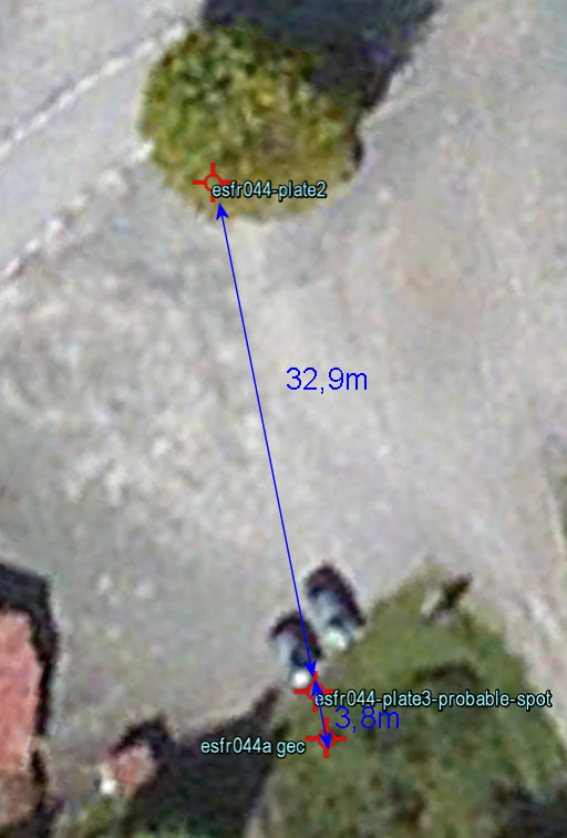 |
In Google Earth, we can
already measure fairly precise - I think - the distances mentioned in
the treaty. What we see is that plate 3 is probably at the edge of tarmac and the grass. So: not underneath the car. |
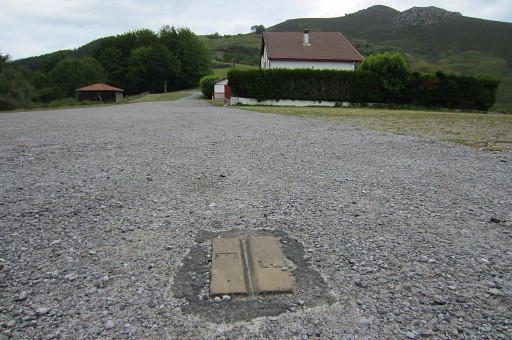 |
Then plate 1 |
 |
Close-up |
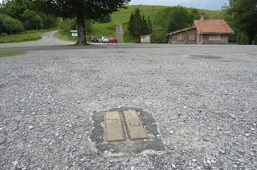 |
Plate 1 looking towards
plate 2. |
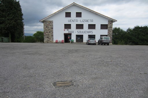 |
Plate 1 lies opposite of
the venta. |
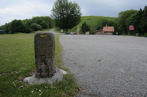 |
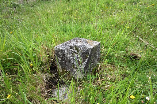
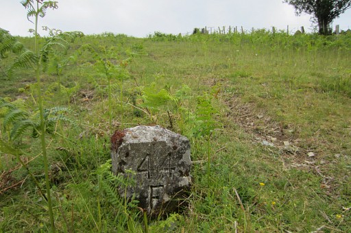
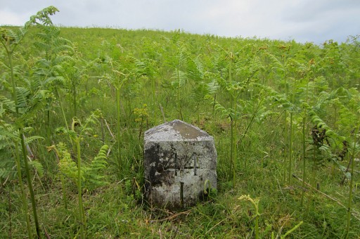
Bm044 |
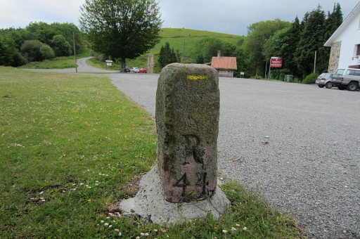 |
Bm044 |
 |
Bm044-backside |
 |
Then we start with the
bm044-submarkers. This is bm044A |
 |
Murgoi and I at bm044A |
 |
Bm044A |
 |
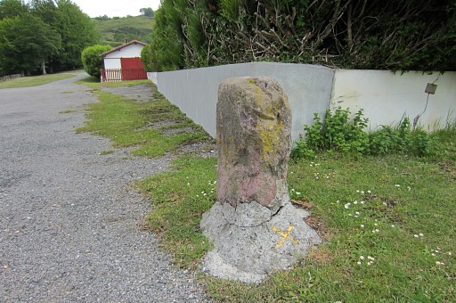
Bm044B |
 |
Bm044C |
 |
Bm044D |
 |
Bm044E |
 |
Bm044E |
 |
Bm044F |
 |
Bm044G |
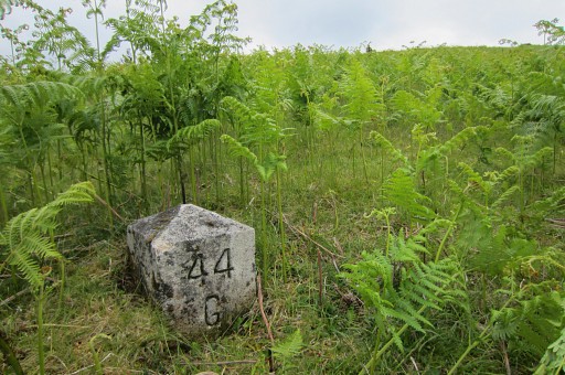 |
Bm044G |
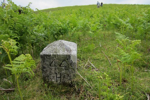 |
Bm044H |
 |
Bm044I |
 |
An unknown submarker of bm044I
(Jan-Willem points to bm044I). |
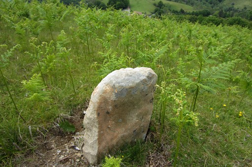 |
No inscription or
whatsoever on this peculiar stone on the borderline. |
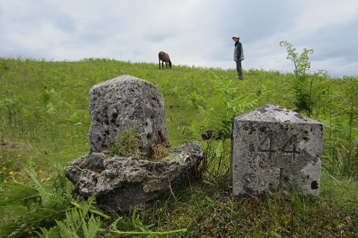 |
Bm044J (still together
with bm044L, like on 20090405) |
 |
Bm044L which is dislocated. As said, the distances between all markers are recorded in this pdf-document The original place can be measured quite easily and quite precise, I think. |
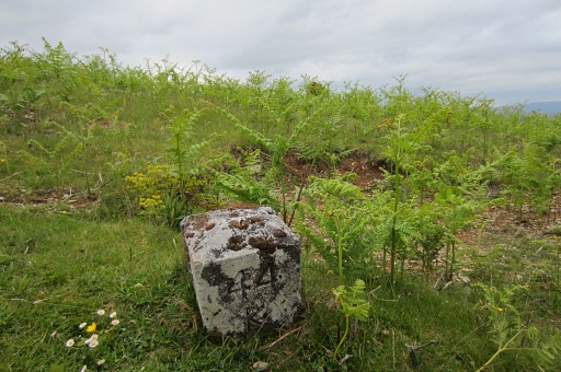 |
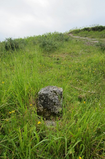
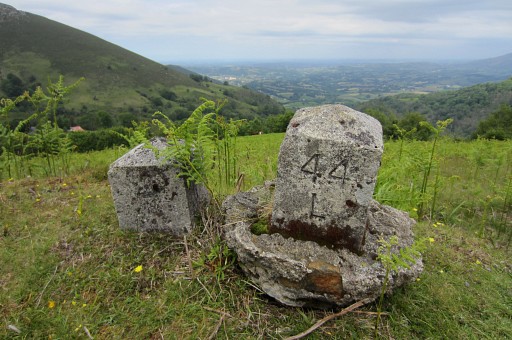
Bm044K |
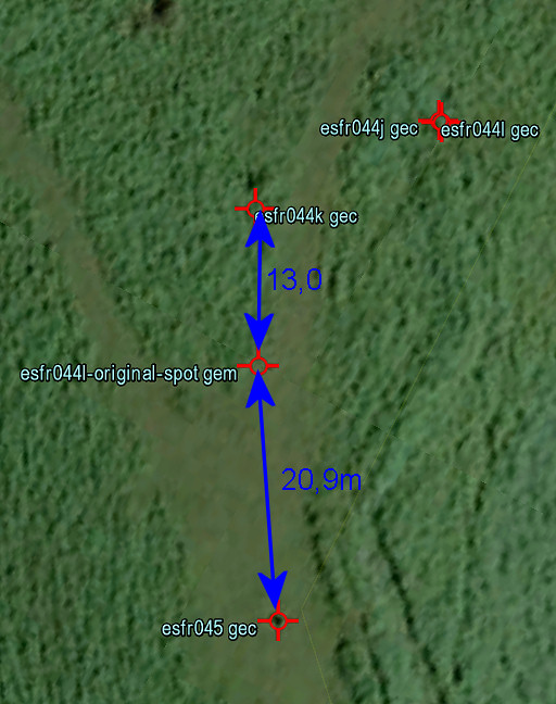 |
When measuring the
distances mentioned in the treaty, it seems that from bm044K there's a
fairly straight line from bm044K via bm044L (original spot) to bm045. With a decent measuring tape, the original spot of bm044L can be established easily. And re-installing takes some effort and taking a good spade by some strong men or women. Who takes up this challenge? |
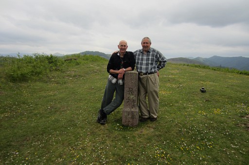 |
And finally bm045. "This is heaven": quote from Murgoi. |
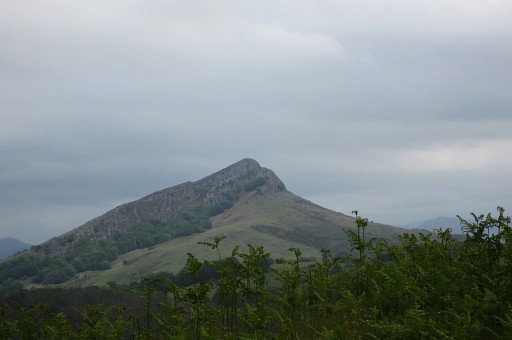 |
In the distance we can
spot the hilltop of Atxuria. |
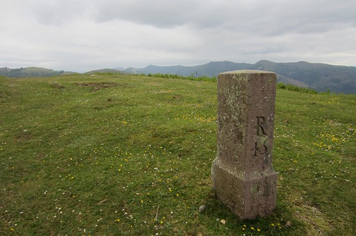 |
Bm045 |
 |
Bm045, looking back. We finish our meeting with a late lunch in a restaurant chatting about bordermarkers, his life in Canada and his zeal for the Basque cause. We say goodbye in Irún. It was a great pleasure and honour to meet him. |
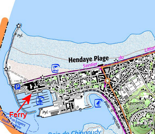 |
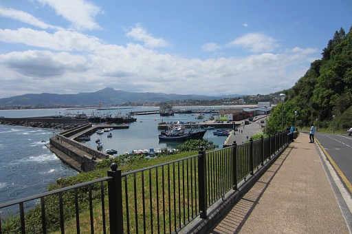
To finish the day, we
drive to Hendaye Plage for a little walk. |
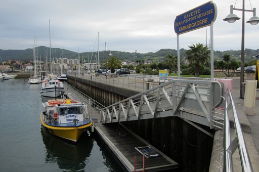 |
We visit the ferry which
has a service to Hondarriba |
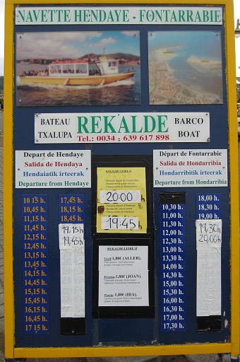 |
with a lot of sailings
daily. See also: this link |
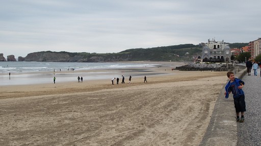 |
Hendaye Plage has a nice
beach |
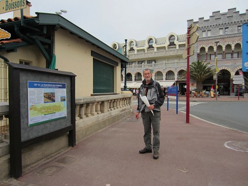 |
and here we are - in front
of the casino - at the starting point of the GR10. |