|
The
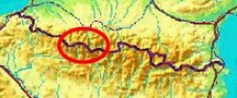
bordermarkers of the Pyrenees : all my trips
 |
|
| - monday 1 september
2014 - Long way to Col de Sobe |
 |
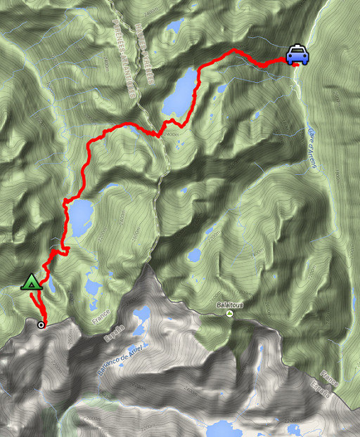 |
esfr-trip-track-20140901.kml (click to open this trip in Google Earth or copy link to Google Maps; click right on this link to download gpx-version) Summary: part of a 2-weeks trip along the entire Pyrenees, focussing on high altitude reconnaissance of parts of my GRPdesBF-trail. First day of a two-days trip exploring the trails between bm311 (Col de Sobe) and bm312 (Port de la Peyre St-Martin). Today: from a parking in Val d'Aste to Col de Sobe. Weather: sunny, warm |
 |
For
explanation of
the gps-coordinates and other cartographic backgrounds: see the cartography-page Start: 10.15, finish: 19.15, net walking time: 8.45h Gps-tripteller: no stats due to partial gps-failure |
 |
According
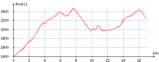
to visugpx - distance : 17,5 km - cum. elevation gain : 1820m - cum. elevation loss : 978m - total elevation: 2798m - altitude maxi : 2467m - altitude mini : 1400m - altitude average : 2019m |
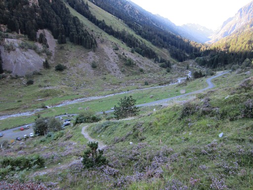 |
I have just started climbing, you can spot my red car at the parking lot. It's a long climb to Lac de Migouélou. |
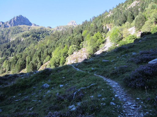 |
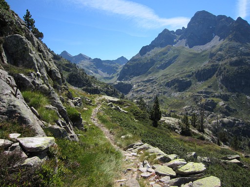
After endless zigzagging uphill, |
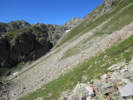 |
you have to traverse this slope |
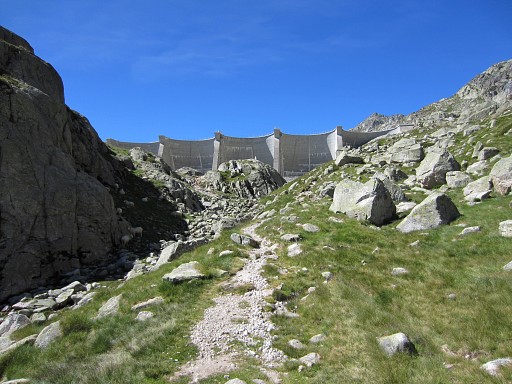 |
to arrive at the barrage of Lac de Migouélou (12.30) |
 |
Lac de Migouélou, there's a refuge there. Then along the lake to |
 |
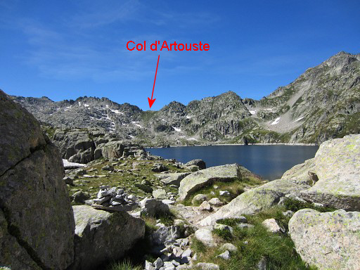
Col d'Artouse |
 |
where I arrive at 14h. |
 |
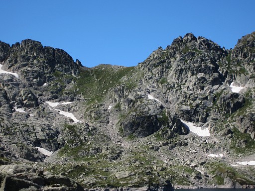
Then descending to these small lakes |
 |
and then curving SW-S to |
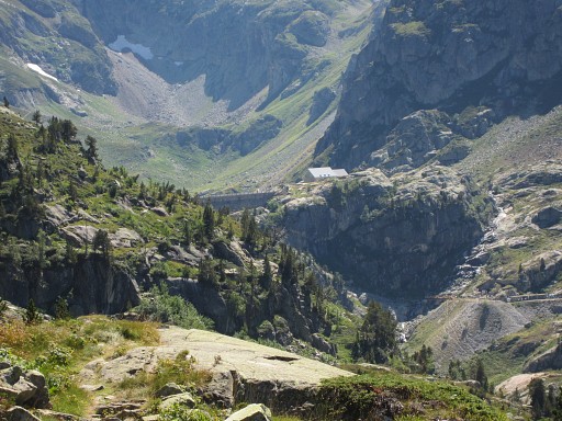 |
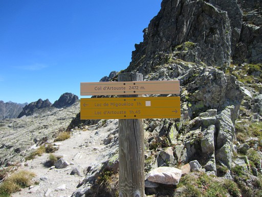
Lac d'Artouste. The barrage is already visible on this picture. |
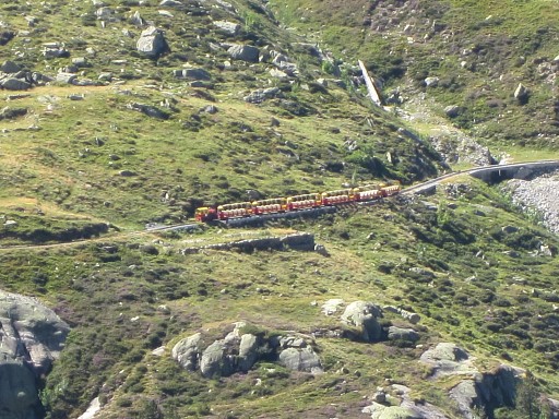 |
Lac d'Artouste can be reached with a touristic train |
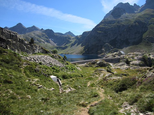 |
I arrive at Lac d'Artouste at 16.15. |
 |
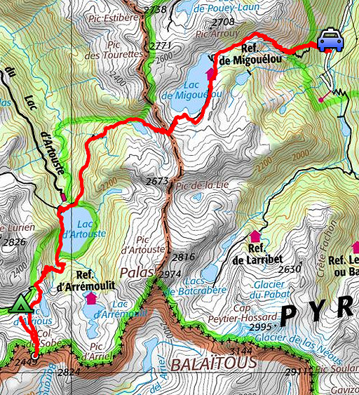
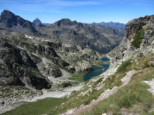
This is a sort of zoom-in from previous picture. Tomorrow I want to try the famous Passage d'Orteig and I study the map to see where it is. The Passage d'Orteig is a short-cut between the lake of Lac d'Arrious and the Lacs d'Arrémoulit |
 |
Well it's here. I know that the 'Passage d'Orteig' is secured with cords but still ..... |
 |
After passing Lac d'Artouste (this picture: looking back to it), I finally climb to |
 |
Col d'Arrious. |
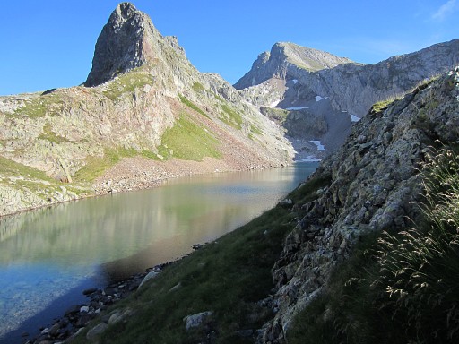 |
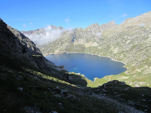
Then to the left (=SE), going along
Lac d'Arrious (this picture) for a while and then heading on a trail
SW-S towards Col de Sobe. NB: along this lake at its W-side there's a flat & green part which is a nice bivouac-spot. |
 |
That last stretch (from Lac d'Arrious until Col de Sobe) was unexpectedly heavy on tiring trails. |
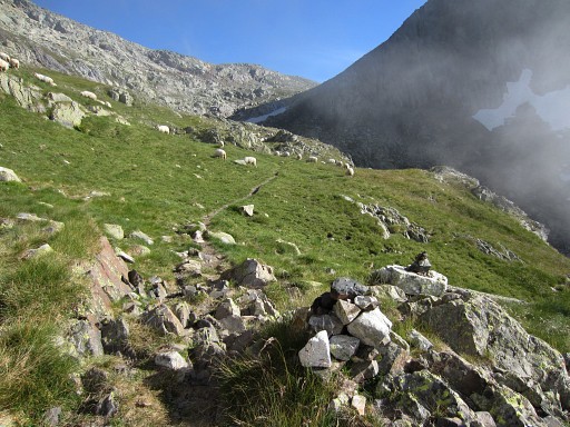 |
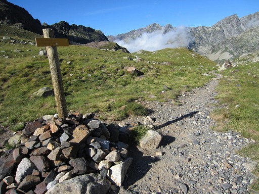
There are some cairns to help you. |
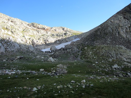 |
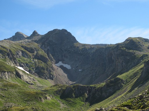
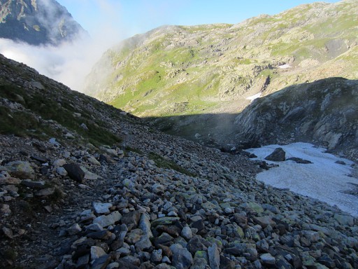
Getting at the foot of the final climb. This green flat part and the rocks upon it, is important for your navigation on the GRPdesBF. By the way, the route to Col de Sobe (bm311) is part of a variant which has a navigation issue. |
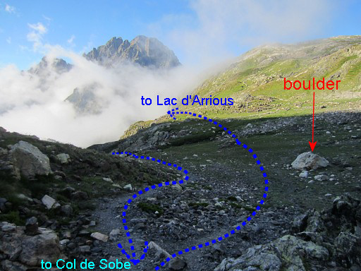 |
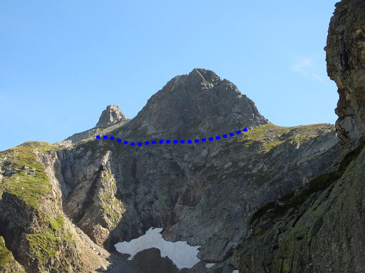
Let's show this navigation issue on this picture. The variant leaves the main route in the valley which climbs to Col d'Arrious. It climbs steep S-SE to this spot. It then continues to Col de Sobe (bm311) and returns to this spot. But now you have to proceed to Lac d'Arrious. So this is a bifork when coming back from Col de Sobe. |
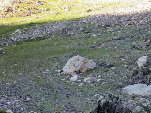 |
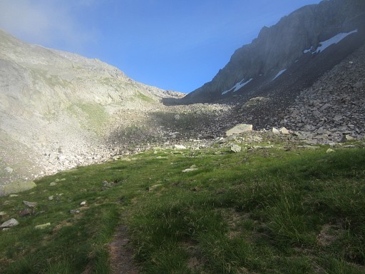
There are enough cairns to help you going right. Like this one |
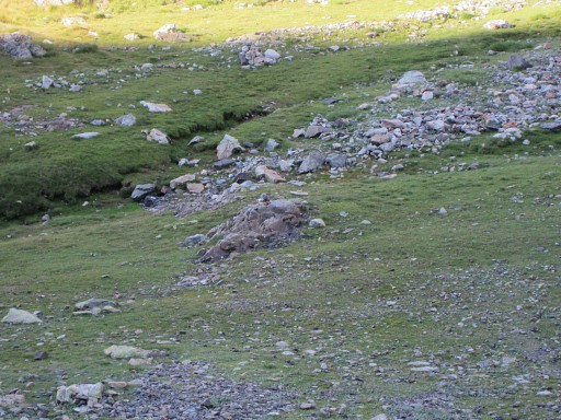 |
and this one |
|
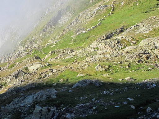
and in the distance these ones. |
|
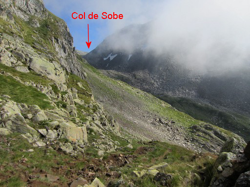
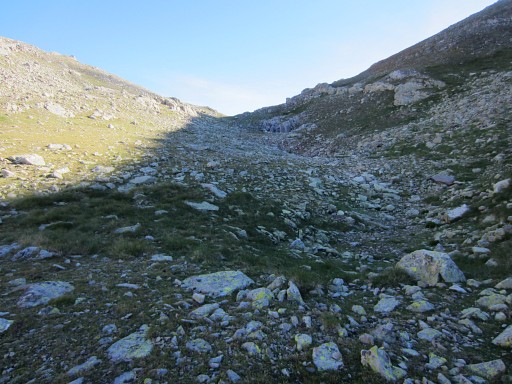
Climbing on to Col de Sobe |
 |
where I arrive at 18.15 to do |
|
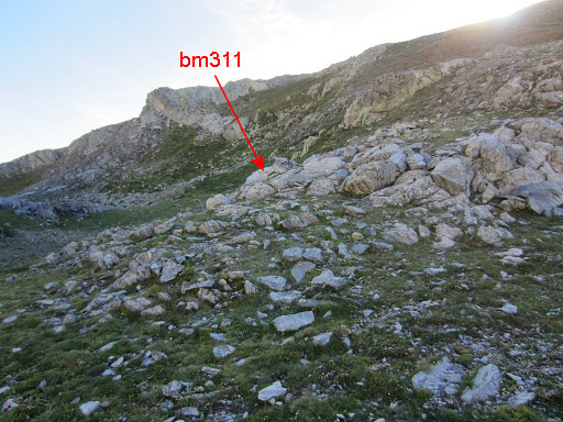
bm311. |
|
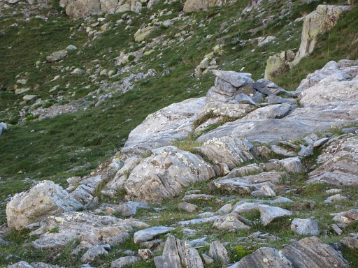
Bm311 |
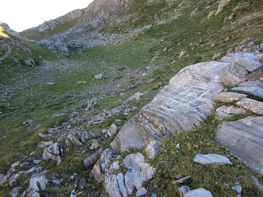
|
Bm311 |
|
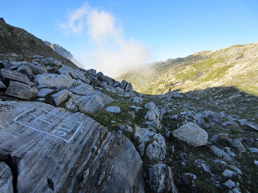
Bm311, looking N |
|
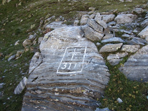
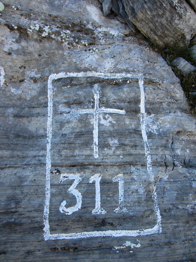
Bm311, close-up |
|
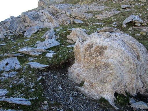
An unusual waysign nearby. |
|
I return and now descend N to find a place for a bivouac. I know there's one because I was here before on 20090908 |
 |
Looking back towards Col de Sobe. |
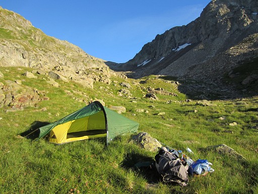 |
My bivouac-spot: ± 1km to the NNW of
Col de Sobe. There's a small stream to the W but on the E-side of the
ridge there is a larger stream. I'm exhausted when finished, almost too tired to eat. |