|
The
bordermarkers of the Pyrenees : all my trips
 |
|
| - sunday 5 july
2015 - "Un rocher touchant le précipice" |
 |
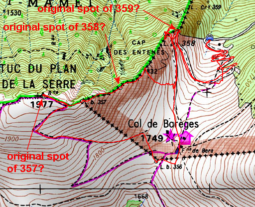 |
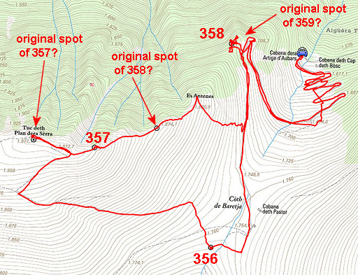
track-20150705.kml (click to open this trip in Google Earth or copy link to Google Maps; click right on this link to download gpx-version Summary: five days of exploring bordermarkers around Bossòst, together with Jan-Willem. Main targets: the unfindable bordermarkers 359, 364 and bm408III & IV. Today: A search for bm359 at a new place: at the edge of the borderridge, ± 20m N-NE from bm358. Underlying: a new hypothesis about the original location of bm359: see this page Weather: cloudy and windy, later sunny and warm |
 |
For
explanation of
the gps-coordinates and other cartographic backgrounds: see the cartography-page The gps-track has not been manually corrected which explains the inaccuracy and misalignment at some points. Started at 10.30, finish at 16.00 According to the gps: - distance : 6,5 km - total elevation: 1050 m - maximum height: 1971m - total time: 5.36h |
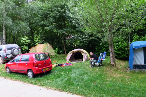 |
The day before we drove from Holland to camping Espalias in Bossòst. We liked this camping with its quiet and relaxed atmosphere. |
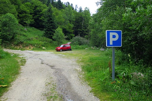 |
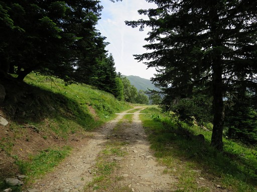
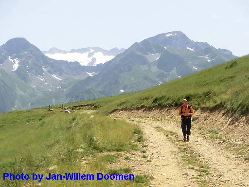
We drive up to the parking on the dirtroad leading up to Col de Barèges. |
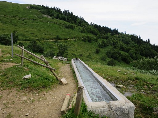 |
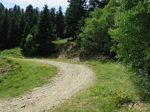
Then continuing our climb -on foot now -on the winding dirtroad. There are a few water sources, like this one |
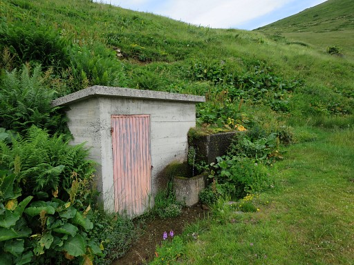 |
and this one. |
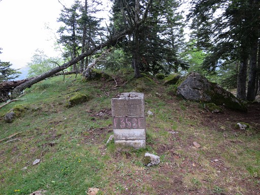 |
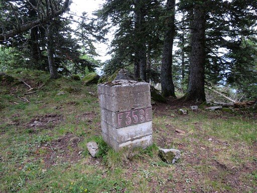
Just beyond the last bend of the dirtroad, we climb the hillside for bm358. This picture: looking forward to the end of the ridge where it becomes abruptly steep. That's where - in my new theory - the original bm359 was engraved. |
 |
As said, I have a new theory on the original locations of the three bordermarkers 357-359. We first inspect the ground but there's no trace of the base of a former bm (like besides bm400) which would have been the proof of a masonry predecessor. By the way, we will not find any other ancient base on the ridge from Tuc du Plan de la Serre to the point where we left the ridge. |
 |
Bm358, looking 'back' |
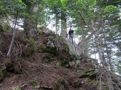 |
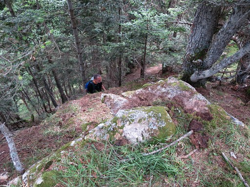
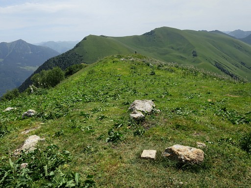
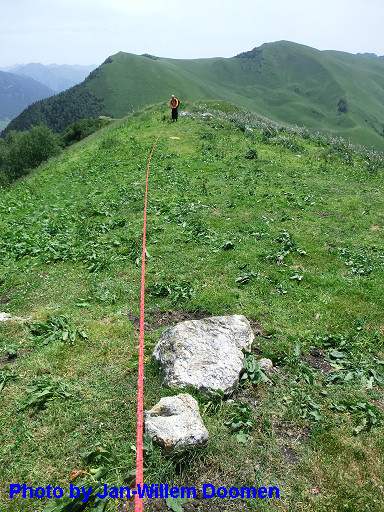
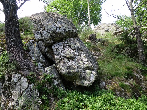
Then we do an extensive search ± 20m N of bm358. That's around the edge of the ridge where the susciptible rocks ("touchant le précipice" = on the verge of the precipice) are limited to an ellipse space. We examine all rocks, brush off their surface of moss etc when needed. |
 |
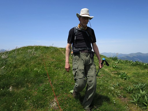
Jan-Willem searching around. You can see how steep it gets here. |
 |
But we can't find anything and leave the spot after this last picture. |
 |
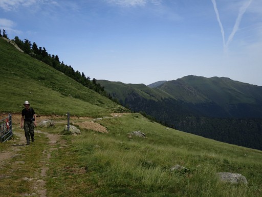
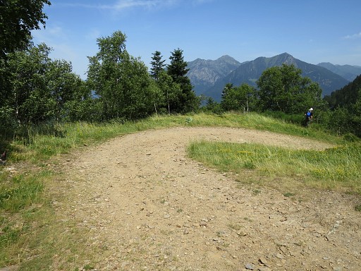
Back to the dirtroad. This is where you have to leave it - coming from Col de Barèges -and climb the roadside to get to bm358. |
 |
Further on, close to Col de Barèges (looking back) |
 |
Col de Barèges |
 |
Bm356 is not at the Col itself but a bit SW of it and visible in the distance on this picture. |
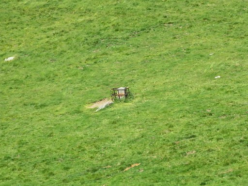 |
Zoom-in |
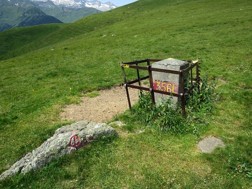 |
Bm356 with besides a rock which is an ancient bordermarker, mentioned in the Treaty. |
 |
Bm356 |
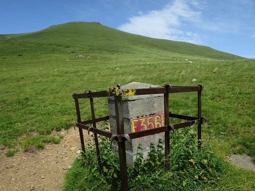 |
Bm356, looking forward to Tuc du Plan de la Serre which is our next goal. |
 |
Bm356, looking S. |
 |
Bm356, looking towards to Col de Barèges and the hilltop where bm355 stands. |
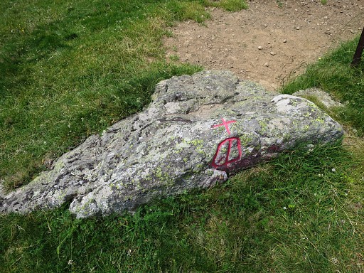 |
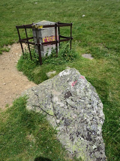
The rock with a cross on top of it and on this side the "barres d'Aragon", the circles of Aragon |
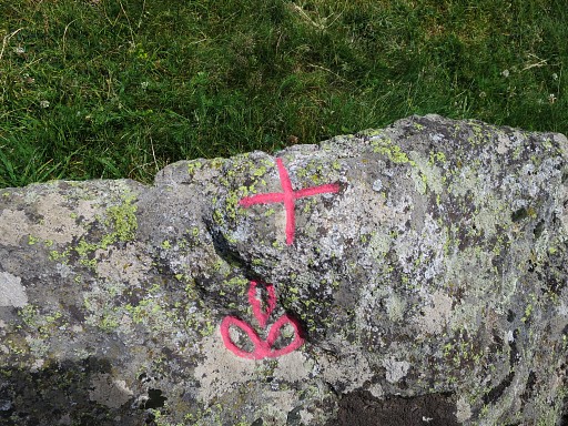 |
and on this side the "Fleur de Lys", the lily-flower. |
 |
A last view of bm356 with the Col de Barèges and its cabin. |
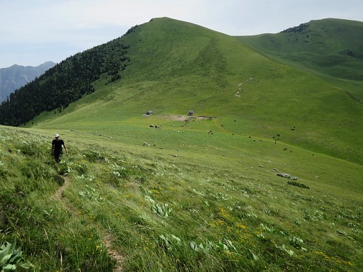 |
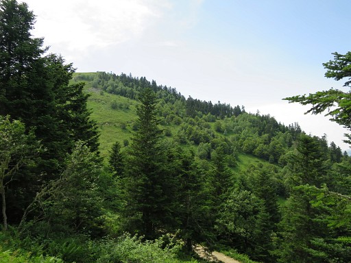
Then climbing to Tuc du Plan de la Serre with this view back to Col de Barèges. |
 |
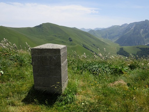
Having arrived at the Tuc du Plan de la Serre with this view towards bm357 |
 |
which is considerable further downhill. |
 |
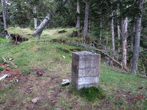
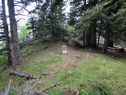
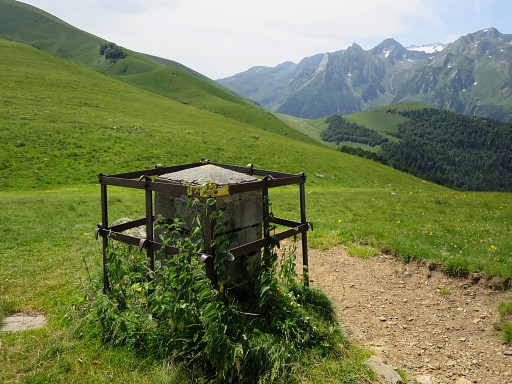
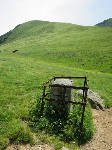
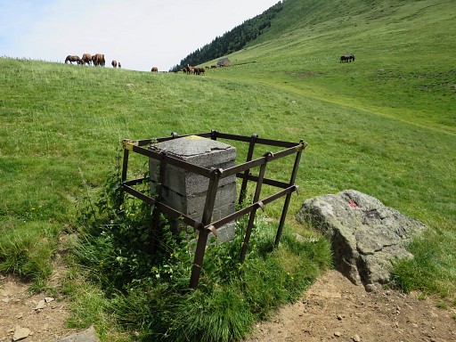
At the Tuc there is a small geodetic marker. No trace of a former bm. |
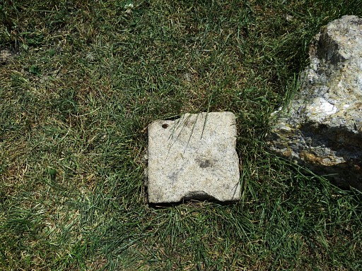 |
The geodectic marker in close-up. |
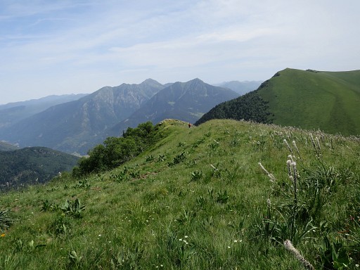
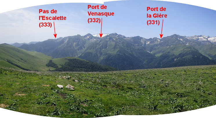 And from the Tuc this marvellous view to the S. |
|
 |
with this zoom-in to a part between bm331 and 332. In the GRPdesBF-variant between bm331 and 332 this provides an alternative route, still to be explored. See this page. |
 |
Then we descend along the ridge towards bm357 and
further, |
 |
measuring the distance |
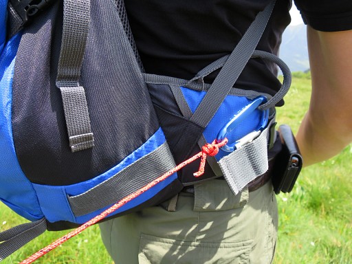 |
with a 40m rope: |
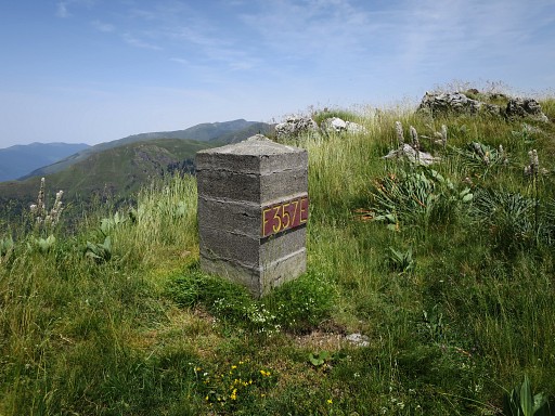 |
Bm357 |
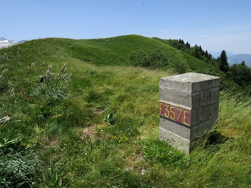 |
The current bm357 is ±
245m from Tuc du Plan de la Serre. |
 |
Bm357, looking S |
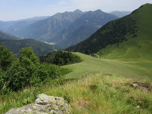 |
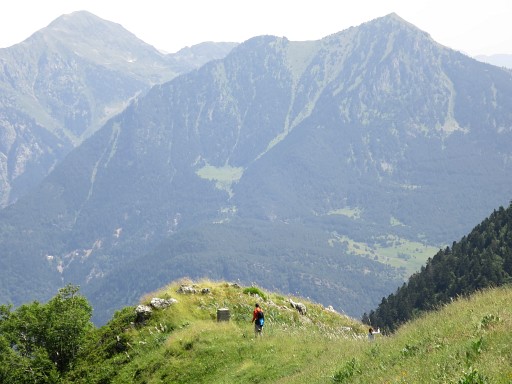
Continuing to descend along the ridge. |
 |
At 600m from the Tuc we arrive at a distinct flatter
part of the ridge (called "Es Antenes" at the spanish maps). |
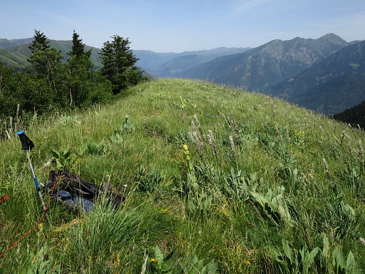 |
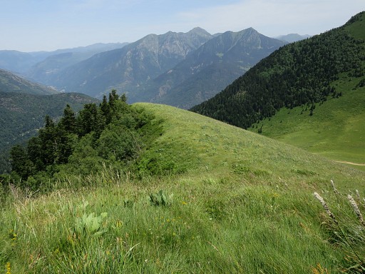
And that point - 600m from Tuc du Plan de la Serre - is here at the walking stick. But a more likely place for the original bm358 would have been a bit further, at 640m. About 80m further, the ridge gets steeper and enters a steep forest where the rope-measurig is not practible. |
 |
We stop measuring and descend towards the dirtroad and continue back to the bend just beyond bm358. |
 |
In the 19th century,
the dirtroad wasn't probably yet constructed. If you visualize the part of the hillside which has been scraped away while constructing the dirtroad, it implies that the borderridge could have 'ended' at the current bend of the dirtroad where the hillside also gets very steep. |
 |
Thus: that might be also the spot where bm359 was once engraved. |
 |
Also here, we
examine the rocks "touchant la précipice"' but also here to no result. |
 |
We stop and return to our car. This is a last view back to the ridge between (approximately) the supposed original bm358 and 359. |