|
The
bordermarkers of the Pyrenees : all my trips
 |
|
| - monday 6 july
2015 - The mystery remains |
 |
 |
track-20150706.kml (click to open this trip in Google Earth or copy link to Google Maps; click right on this link to download gpx-version Summary: five days of exploring bordermarkers around Bossòst, together with Jan-Willem. Main targets: the unfindable bordermarkers 359, 364 and bm408III & IV. Today: long and tiring trip in search of bm408 III and IV. Weather: very warm |
 |
For
explanation of
the gps-coordinates and other cartographic backgrounds: see the cartography-page The gps-track has not been manually corrected which explains the inaccuracy and misalignment at some points. Started at 9h, finish at 16.45 According to the gps: - distance : 11,5 km - total elevation: 1914m - maximum height: 1434m - total time: 7.24h |
 |
Along an old trail we start our climb of the mountain, first to Cabane Hérechet. |
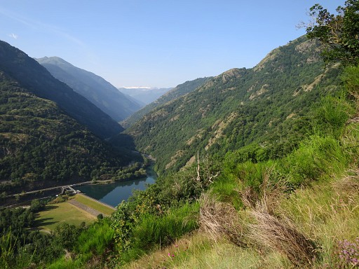 |
In between - after Col Carrech - this view S to the barrage lake and |
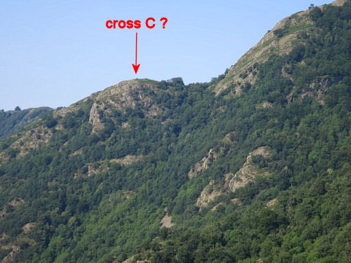 |
- zoom-in - to probably the 'mail' with cross C of the 'terrain indivis' of Beaudubus. More about the undivided terrain of Beaudubus and its 4 crosses (A-D) on this page. Further on - ±150m after the small and possibly dry ponds of Sasplay - you have to make a sharp bend to the left and climb the forest hillside for the last part to the Cabane. We have put extra cairns at that spot where you migh go wrong by going straight on. |
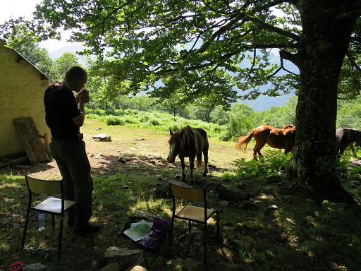 |
At the cabane, our idyllic moment of peace is soon disturbed by curious and obtrusive horses. |
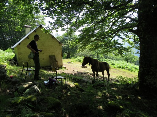 |
Especially one of them is persistent |
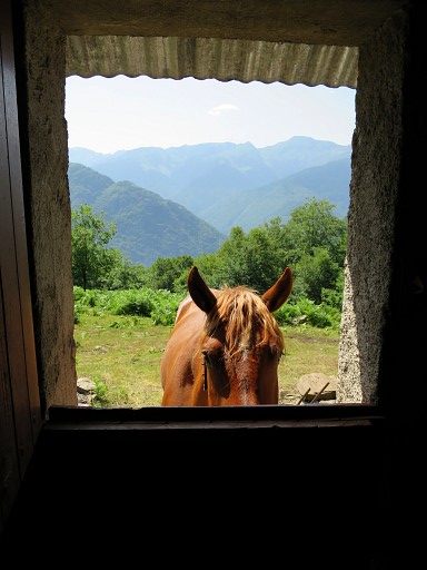 |
and persistent. |
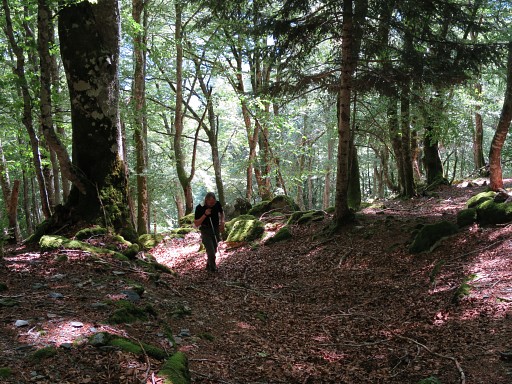 |
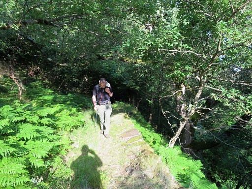
We continue on a trail which starts behind the cabane |
 |
This is the spot where you have to go left, |
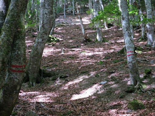 |
indicated by double stripes at two trees. |
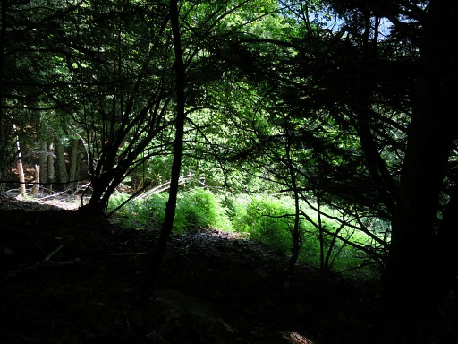 |
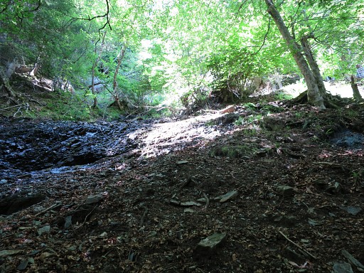
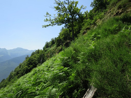
The trail is vague and brings you to the foot of a small and steep stream. At the foot itself the stream may be dry but higher on there will be running water. Also at the foot: a field of fern in a half-open space. This picture: I've started climbing to bm408 II and look back to the green field of fern. |
 |
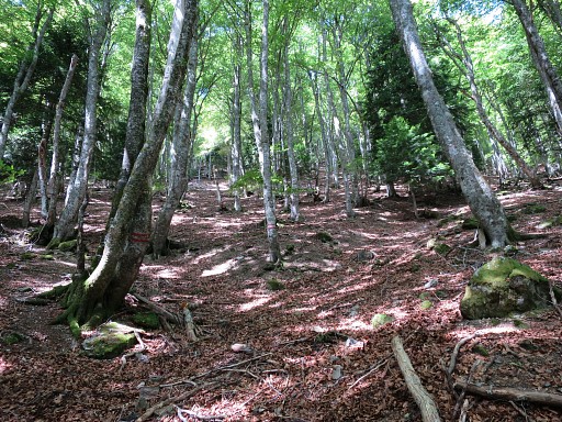
This picture: on my way up which is not easy on the steep and slippery slope. Bm408 II can already be spotted as you can see better at |
 |
this zoom-in. It's at the N-side of the stream. |
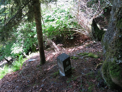 |
Bm08 II I'm amazed that the numbers have been painted white since 20140526. Same white painting as we will see three days later at 20150709 on bm410. So: there's some official person who does the painting and maintenance. Perhaps he or she knows where bm408 III and IV are, if they still exist. |
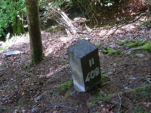 |
Bm408 II |
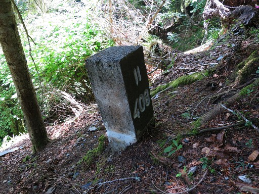 |
Bm408 II |
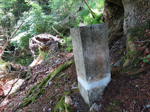 |
Bm408 II |
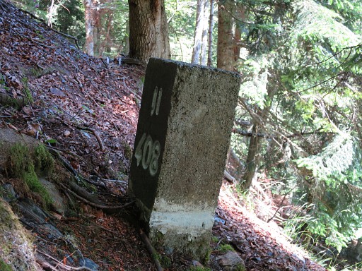 |
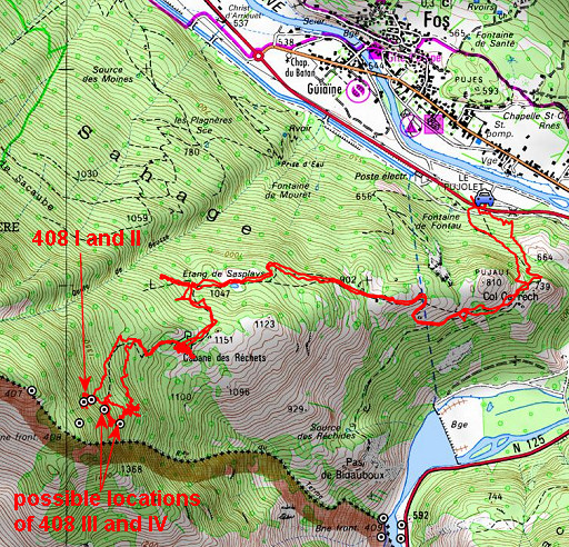
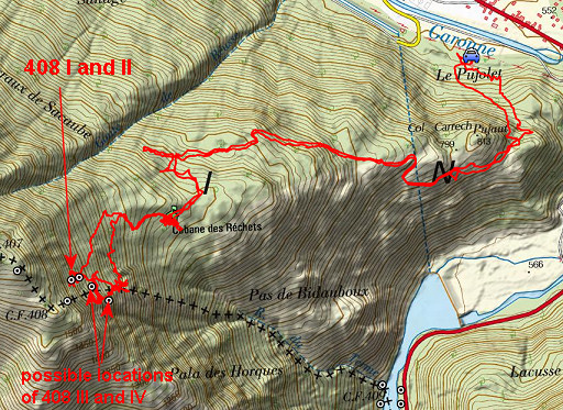
Bm408 II Climbing on to bm408 I is not a success. Straight on along the stream is blocked by fallen trees. and a detour to the right becomes too steep further on. But the main target of today is a search for bm408 III and IV. Our plan is to descend zigzag on the mountain slope through forest and fern. For that purpose I made a series of waypoints to help us. |
 |
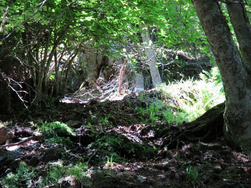
But first to the open space of the Ruisseau du
Terme - accessible by a trail from the foot of the small stream - which is
now full of fern and almost impenetrable. We return to the forest zone and start zigzagging downhill until 'waypoint 18' and find .... nothing. |
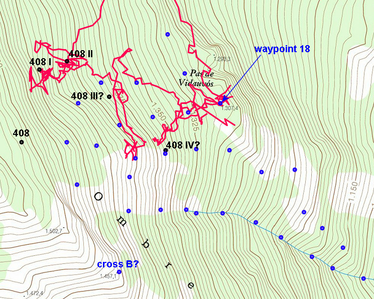 The blue points are waypoints made in avance. Close to wp18 there's a deep cleft which we only see on the ICC-map (to the right of "Pas de Vidauvós). This is also a point where the mountain slope over a certain width suddenly gets much steeper. |
|
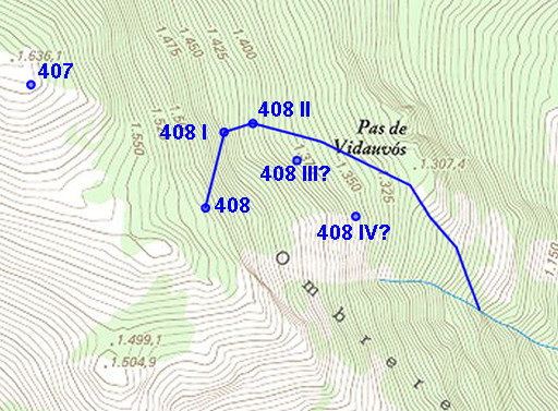 |
On this steep terrain without clear grooves or streambeds, I don't get
the geophysical logic of the locations of bm408 III & IV as I
guessed them to be (and shown on this map). The ICC-map with its detailed elevation lines suggests another course of the borderline (= continuation of the little stream) along the still to be found bm408 III and IV to the Ruisseau du Terme. We give up and descend directly with a curve to the cabane - with another break with the same obtrusive horse - and to the car. It's very warm now. |