|
The
bordermarkers of the Pyrenees : all my trips
 |
|
| - friday 9 september
2016 - From bm546 to 553 |
 |
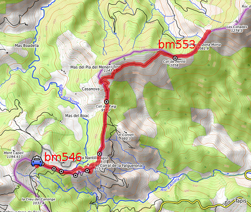 |
track-20160909.kml (click to open this trip in Google Earth or copy link to Google Maps; click right on this link to download gpx-version Summary: Part of a 9-days trip to the Pyrenees, covering various targets from east to west. Today: re-doing the bordermarkers 546 to 553. Basecamp is the camping in St-Laurent-de-Cerdans Weather: partly covered, warm |
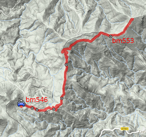 |
For
explanation of
the gps-coordinates and other cartographic backgrounds: see the cartography-page The gps-track has not been manually corrected which explains the inaccuracy and misalignment at some points. Started at 11h , finish at 15:45 |
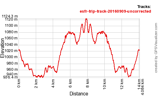 |
According to Gps-Track-Analyse - distance : 14,2 km - cum. elevation gain : 672m - cum. elevation loss : 672m - total elevation: 1344m - altitude maxi : 1124m - altitude mini : 936m - altitude average : 1004m |
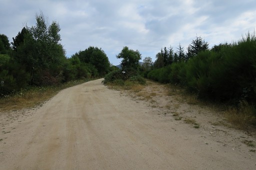 |
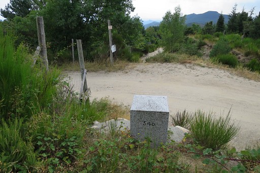
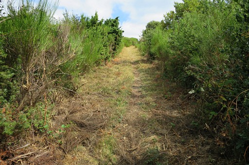
This is about where I parked my car. It was a bumpy dirtroad, too bumpy on my return drive: damaging my car. This picture: 100m ahead is bm546. To the right starts the dirtroad towards bm547. |
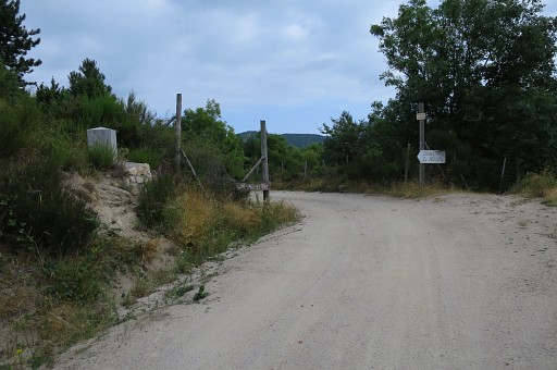 |
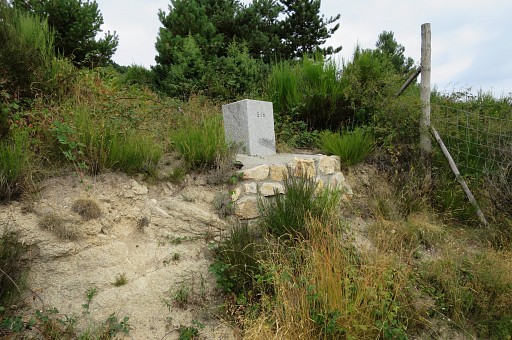
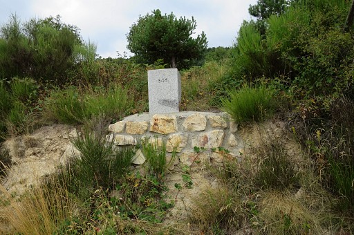
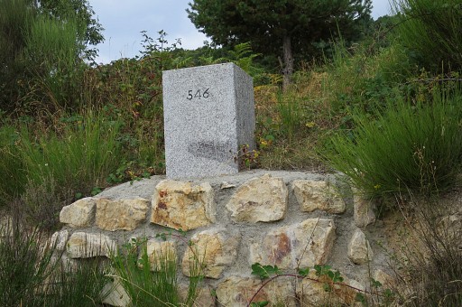
Bm546 |
|
|
|
In recent years, the base of this bm was 'fortified'. |
|
|
|
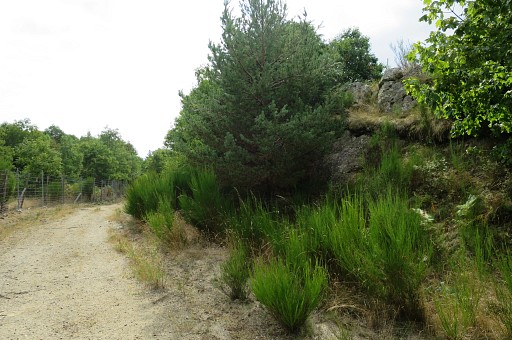
At the opposite of the road you can descend to the dirtroad which leads to bm547. |
|
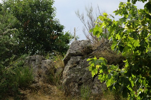
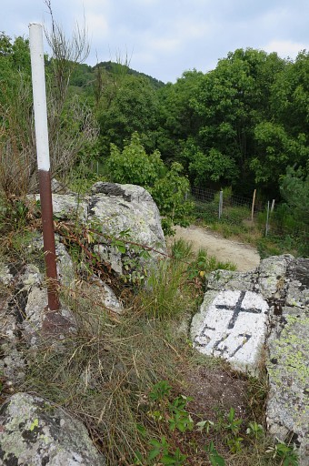
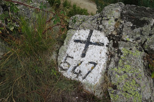
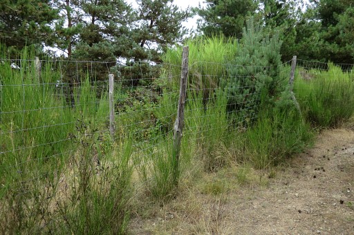
Bm546 is about 250m further and is a bordercross at the hill-ridge at the right side of the road. |
|
A steel pipe indicates its location. |
|
|
|
|
|
|
|
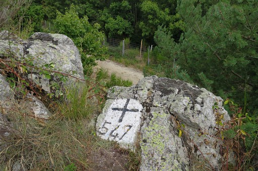
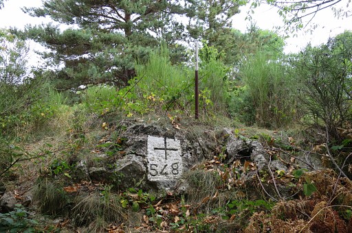
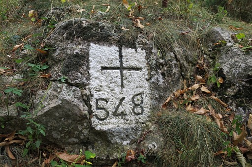
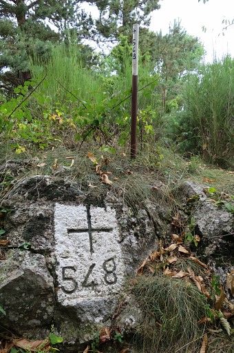
Bm548 is 150m further, also higher located at the elevated roadside but now at the left side of the road. But it is not visible from the dirtroad. It's about 25m from the road into the bush. |
|
|
|
|
|
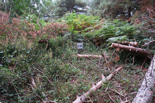
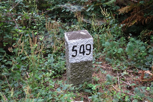
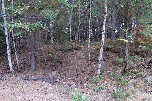
Bm549 is in a pine forest at the right side of the road, about 300m from bm548 When a pine forest appears at the right side, enter it SSE and you will find bm549 after 50m. |
|
|
|
In fact it's outside the edge of the pine forest |
|
And this is about where to enter the forest from the road. It's easy to cross the forest hence and forth. |
|
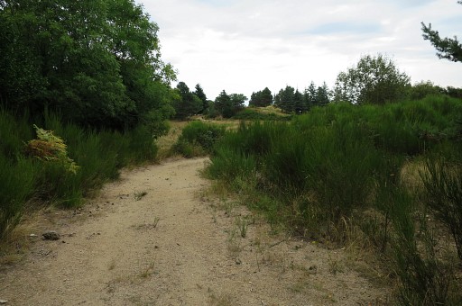
I continue on the dirtroad and arrive at an open space |
|
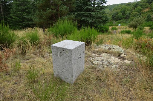
with bm550 well visible at a hilltop to the right of the dirtroad. |
|
|
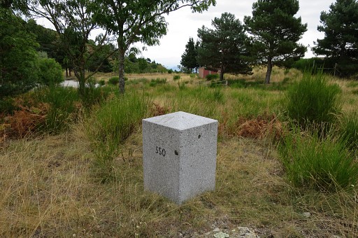
|
In the background a building which used to be a restaurant. |
|
|
|
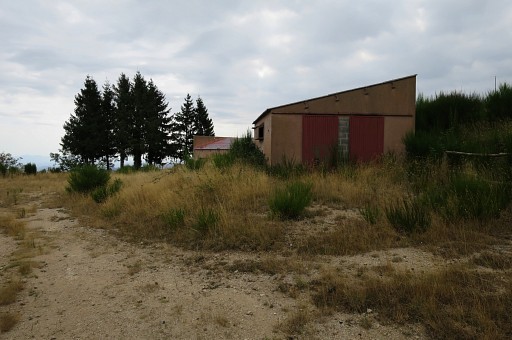
The former restaurant. Around here could be a fine place for a bivouac but there's no streaming water around. You have to bring it from Coustouges. |
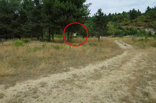
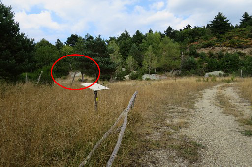
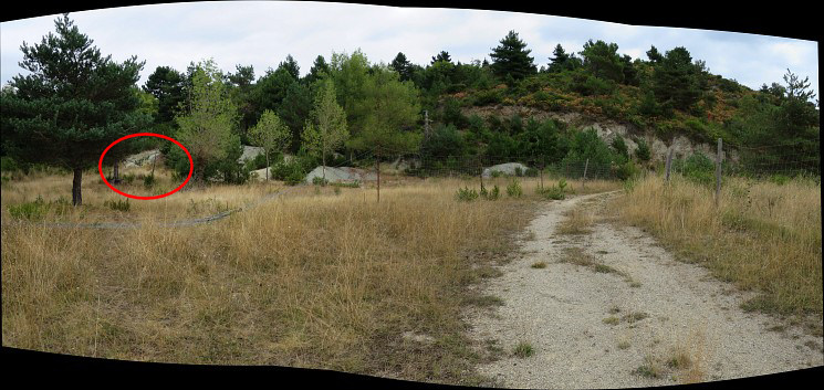 Then
the continuation is not as obvious as I remember. The dirtroad
continues beyond the building and ends at a gate and fences and after
the gate it takes the wrong direction. But the start of the dirtroad
along the border is in the red circle, I will learn soon.
|
|
|
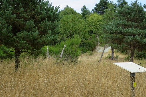
I return a bit towards the building and now I can see better where to go. |
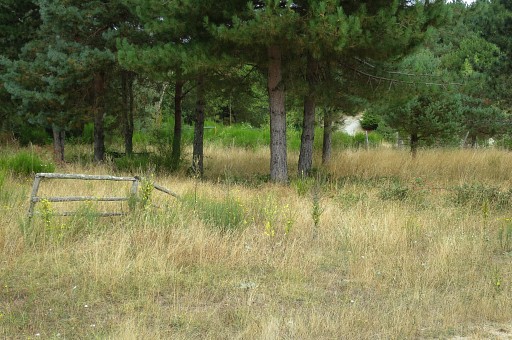
|
It's the dirtroad you can see through the trees. |
|
There's no obvious trail to that dirtroad and you might have to tackle fences. Another glimpse of the dirtroad to take. |
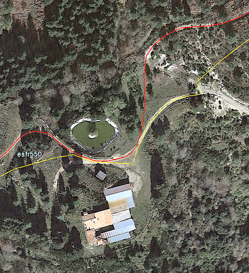 |
This Google Earth map shows better how to proceed. The red line is the GRPdes BF. |
|
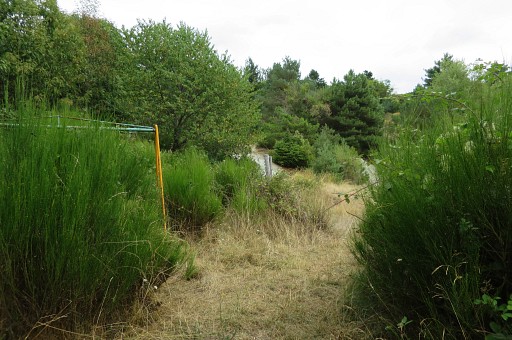
Apparently this double fence is the borderline. I remember (2008) walking in between two fences, now on the right side of two fences. |
|
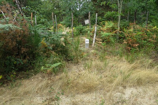
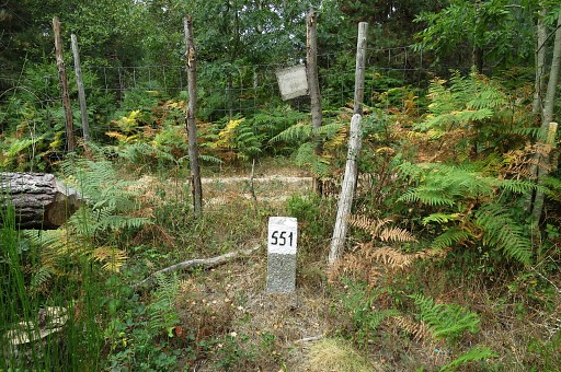
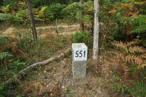
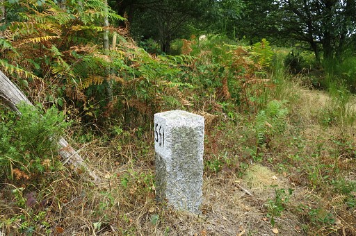
Then bm551 appears |
|
|
|
|
|
|
|
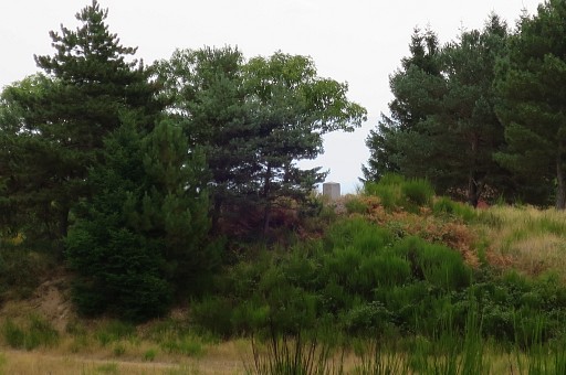
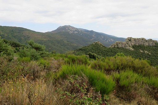
A view to the mountain ridge NEE which is the borderridge. The mountaintop you see, consists in fact of two summits: Roc de la Sentinella and Roc de la Campana. |
|
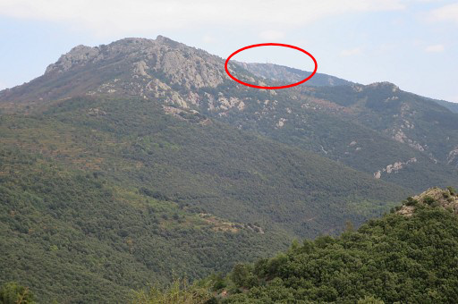
Zoom-in. Roc de France (1450m) with its broadcast-antenna becomes (hardly) visible. |
|
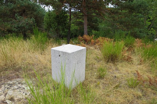
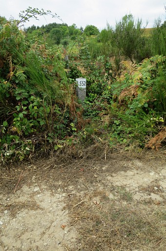
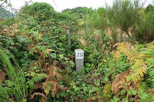
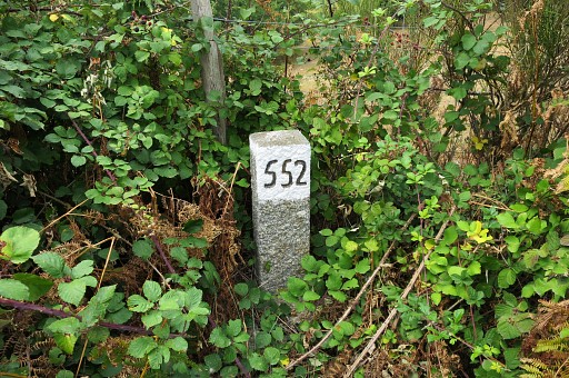
After 1,1km going up and down from no. 551, there's bm552 |
|
|
|
|
|
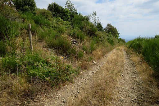
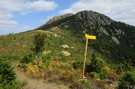
From bm552 it takes 2,3 km along the winding and climbing dirtroad to reach bm553. But bm553 is not visible from the dirtroad. At this point - at the signpost - you have to go left, |
 |
picking up a yellow waymarked trail. |
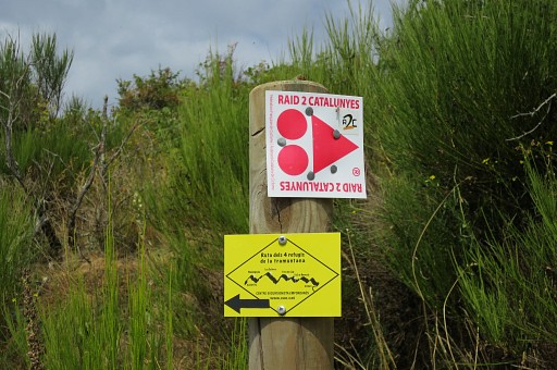 |
The signpost in detail |
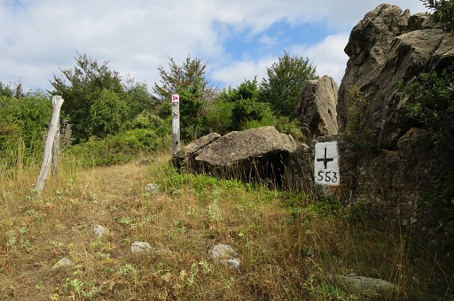 |
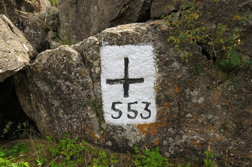
About 15m from the dirtroad, there's bm553. |
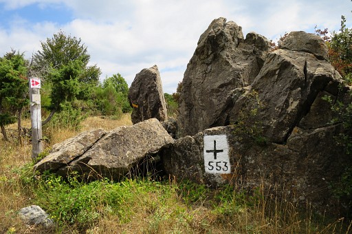 |
Note the signpost: that's the way to go to continue on the GRPdesBF. |
 |
|
 |
A nice path |
 |
leads to the E, following the borderridge, |
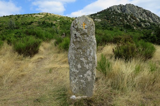 |
bringing you along this ancient menhir. |
 |
|
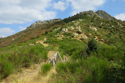 |
This is the farthest point, I get today. In front you see the Roc de la Sentinella, then Roc de la Campana. The trail climbs over or underneath these Roc's. Beyond Roc de la Campana - at Col de Sant Mari - the trail merges with the GR10. The GR10 brings you smoothly to Coll del Pou de la Neu. I was there yesterday. |
 |
I return and I'm back at the former restaurant. This is another view towards the dirtroad to pick up to continue on the GRPdesBF |
 |
Zoom-in. Returning to the car and the camping. |