|
The
bordermarkers of the Pyrenees : all my trips
 |
|
| -
saturday 10 september
2016 - Revisiting bm540-541 |
 |
 |
track-20160910.kml (click to open this trip in Google Earth or copy link to Google Maps; click right on this link to download gpx-version Summary: Part of a 9-days trip to the Pyrenees, covering various targets from east to west. Today: trying to descend directly to bm542 but doing that at the wrong place. Basecamp is the camping in St-Laurent-de-Cerdans Weather: warm, sunny |
 |
For
explanation of
the gps-coordinates and other cartographic backgrounds: see the cartography-page The gps-track has not been manually corrected which explains the inaccuracy and misalignment at some points. Started at 11h , finish at 14:30 |
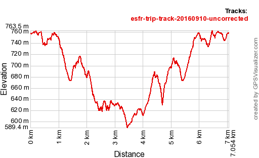 |
According
to Gps-Track-Analyse - distance : 7,2 km - cum. elevation gain : 658m - cum. elevation loss : 658m - total elevation: 1316m - altitude maxi : 763m - altitude mini : 589m - altitude average : 674m |
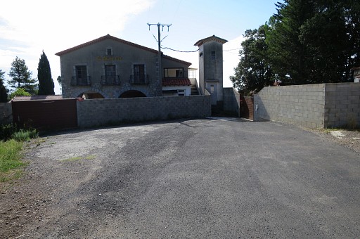 |
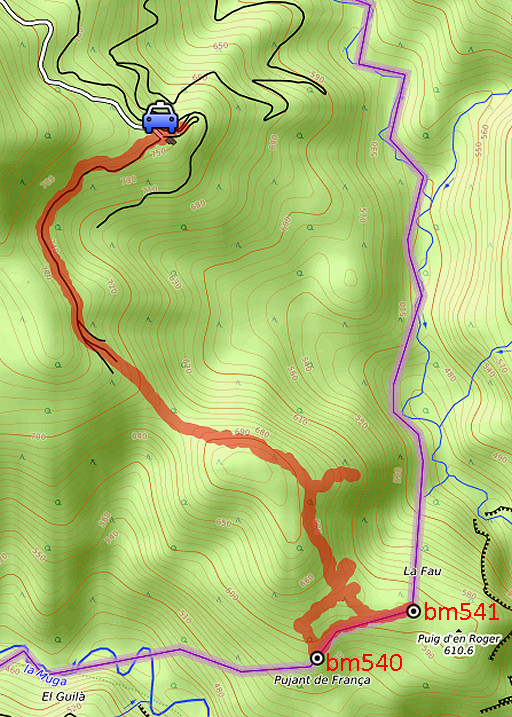
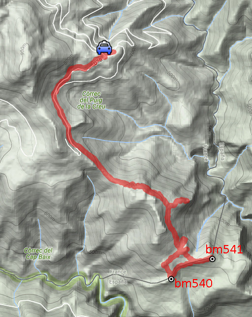
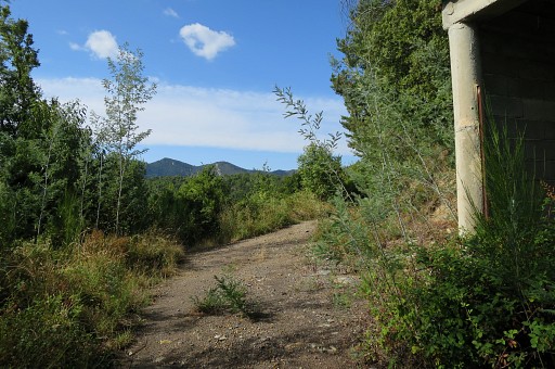
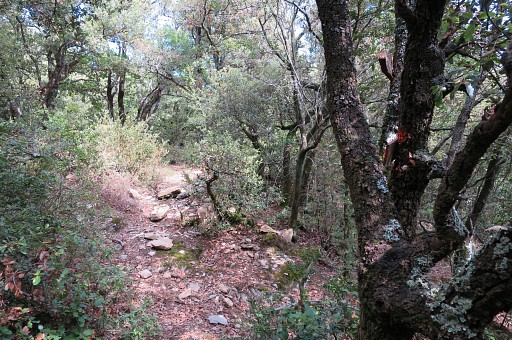
Starting at Can d'Amunt, the former restaurant looks like a fortress now. I go right here, along the wall |
 |
bringing me in 75m to this bifurcation where I take the left trail going down. |
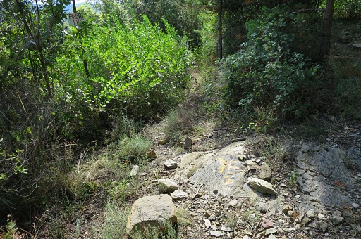 |
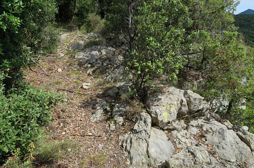
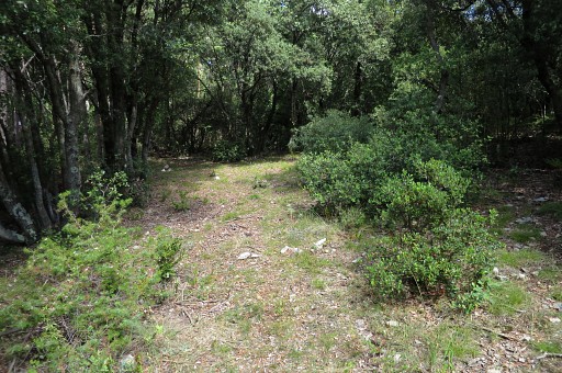
Further on - approx. after 1km - there's another bifurcation. I take the left trail (note the yellow waymarks) |
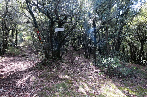 |
Then - after ± 500m - this bifurcation: to the right is to bm540, to the left is |
 |
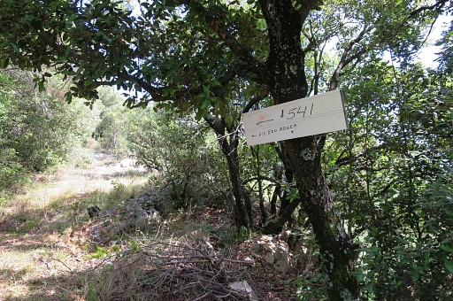
to bm541. I head for this direction. |
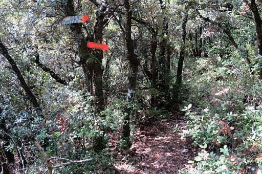 |
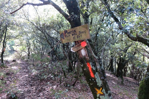
In between another sign pointing to bm541. On my way back, I will go wrong at this point. |
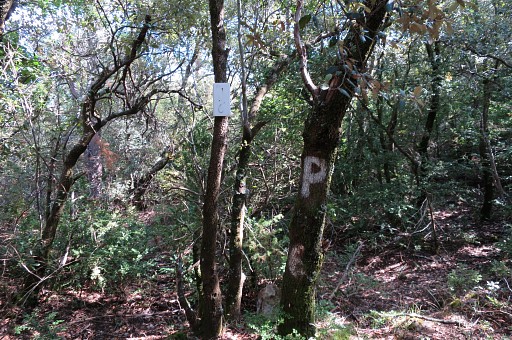 |
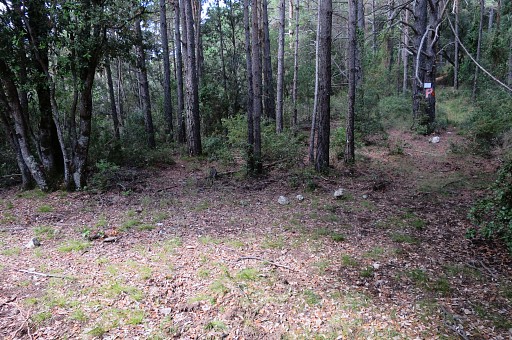
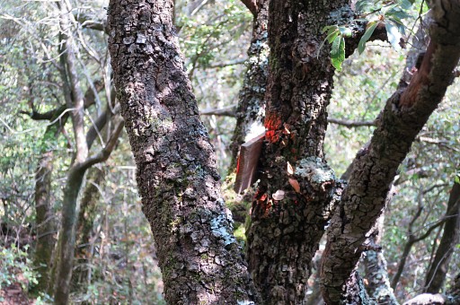
Then I arrive at hunter's post P6. And that's where things go wrong. |
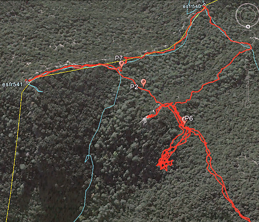 |
I think I'm at approximately P7 where I descended to bm542 at 9 april 2014 without much problem. The blue line is my track of that day. And checking its report, it turns out that the position of P6 has changed! I try descend from the actual position of P6 to bm542 but find the vegetation having become too dense to get through. I give up after several trials. I continue to bm541 but I'm puzzled because it's not the ridge to the SE that I remember and there's no bm541. Also the trails are unfamilair. |
 |
I'm desoriented and decide to walk through the forest to bm540 using my gps. This picture: almost at bm540 |
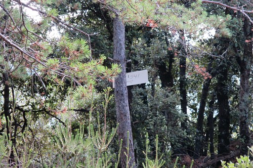 |
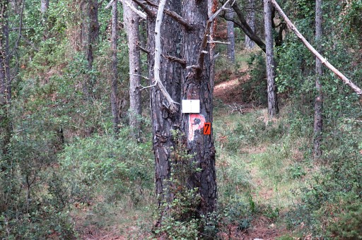
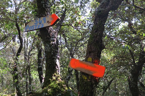
I see a sign pointing to bm541 |
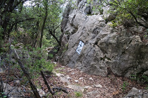 |
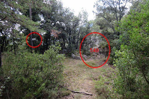
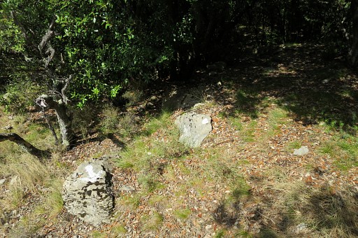
But first bm540 |
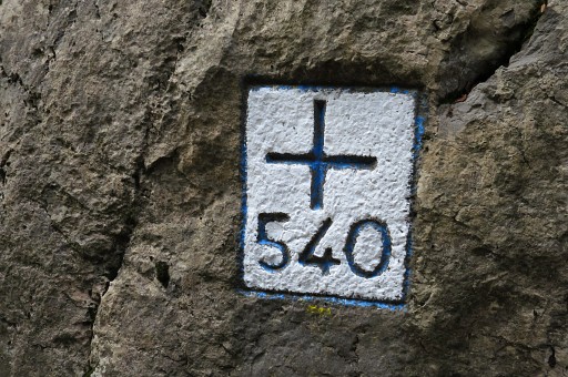 |
I like the blue/white color-combination. |
 |
|
 |
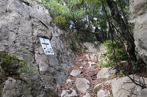
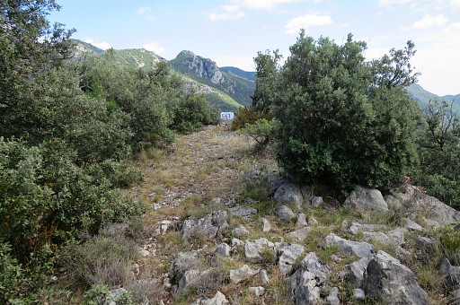
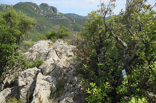
And this is the familiar trail from bm540 to 541 |
 |
along the cliff. |
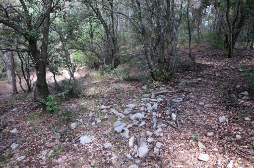 |
At this point, you will pass a dry pond. |
 |
In earlier years filled with dirty water. |
 |
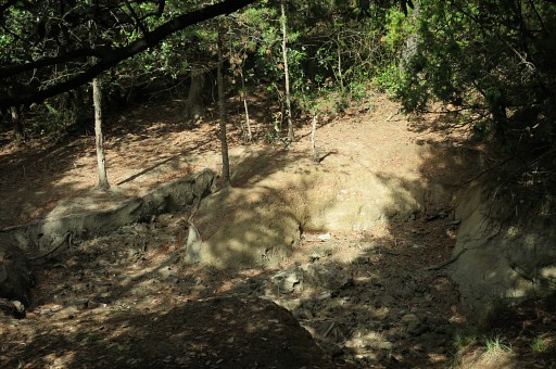
I arrive - close to P7 - at a small open space where Jan-Willem and I camped at 5 april 2008. |
 |
P7 is |
 |
nearby. As said, this spot used to be P6 and this where you can descend fairly easy towards bm542. I return a bit to the open space from the previous picture where a waymarked trail starts, going |
 |
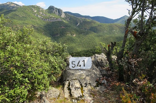
up the ridge and then going left (E) and ending at |
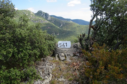 |
bm541 |
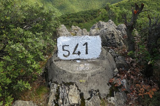 |
The bm seems to be painted recently. There is an addition: RF. The initials of the painter? Tomorrow I will see the same RF at bm542. |
 |
|
 |
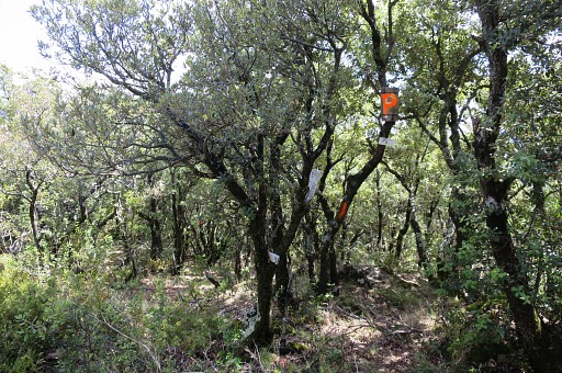
I return to the open space and P7 without realizing that's where I descended successfully to bm542 at 9 april 2014. I retun, believing that a direct descent to bm542 has become too difficult due to vegetation getting denser and denser. This picture: on my way back I pass P2. |
 |
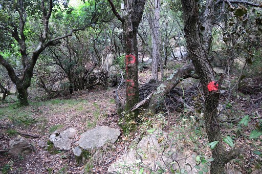
There are painted waymarks |
 |
and then I take a wrong turn - passing P3 - |
 |
and ending here at a cliff. I return |
 |
and I am back where I went wrong |
 |
I missed |
 |
these signs. Back to Can d'Amunt and to the camping, |