|
The
bordermarkers of the Pyrenees : all my trips
 |
|
| -
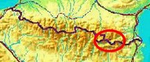
monday 12 september
2016 - Revisiting bm510 from Vallter 2000 |
 |
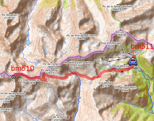 |
track-20160912.kml (click to open this trip in Google Earth or copy link to Google Maps; click right on this link to download gpx-version Summary: Part of a 9-days trip to the Pyrenees, covering various targets from east to west. Today: a long trip hence and forth to bm510 to photograph ist for a second time and to check the GRPdesBF-part from bm510 to bm511. Weather: clear skies, beautiful. |
 |
For
explanation of
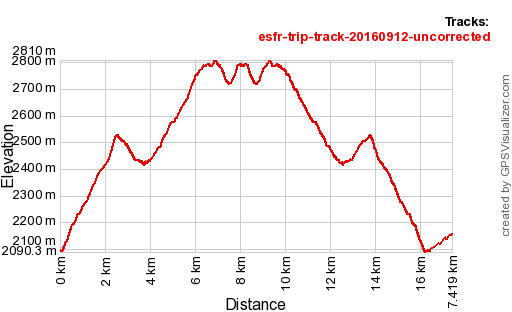
the gps-coordinates and other cartographic backgrounds: see the cartography-page The gps-track has not been manually corrected which explains the inaccuracy and misalignment at some points. Started at 9:30 , finish at 15:45 |
 |
According
to Gps-Track-Analyse - distance : 17,7 km - cum. elevation gain : 1381m - cum. elevation loss :1319m - total elevation: 2700m - altitude maxi : 2810m - altitude mini : 2090m - altitude average : 2452m |
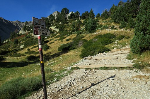 |
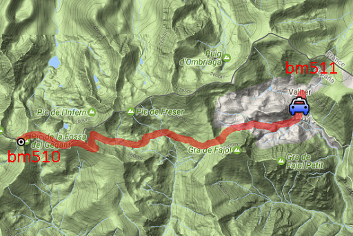
I park my ca not far away from the ski station of Vallter 2000 and pick up the GR11-trail climbing |
 |
to Refugio de Ull de Ter. |
 |
On the first Col, this view back |
 |
and this view to the route ahead. |
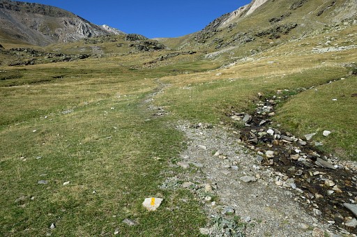 |
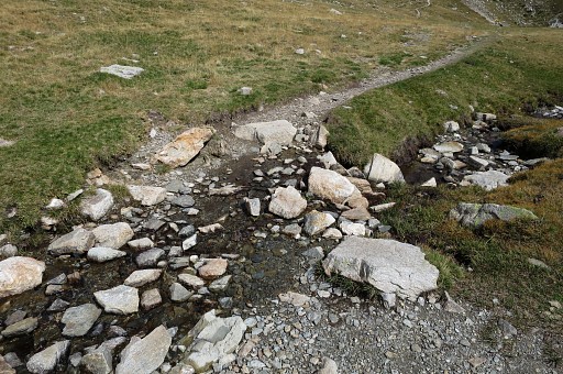
There are streams and here and there opportunities for a bivouac. |
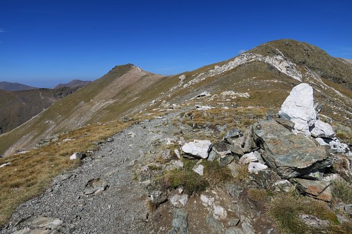 |
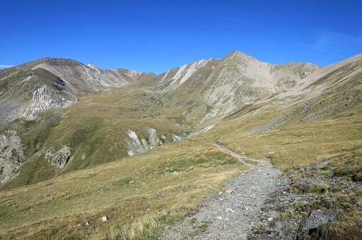
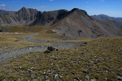
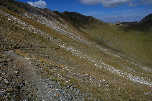
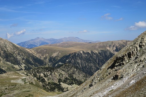
Further on, having arrived at the borderridge |
 |
and Col des Neuf Croix in view |
 |
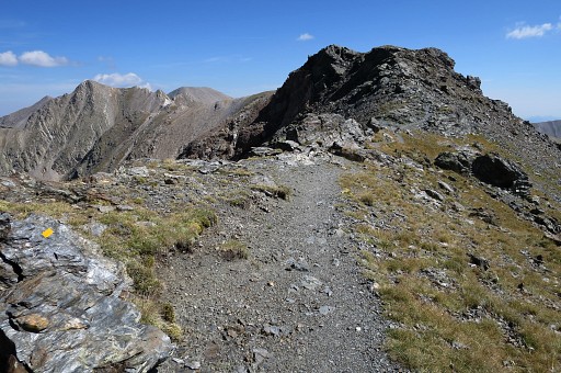
and getting closer |
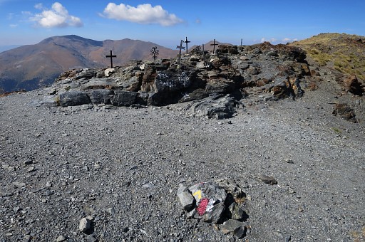 |
and closer. |
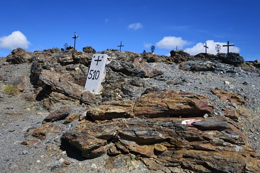 |
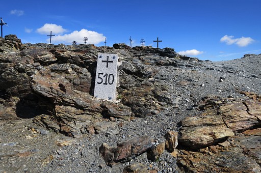
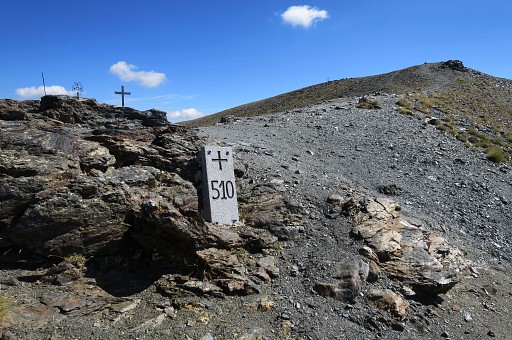
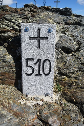
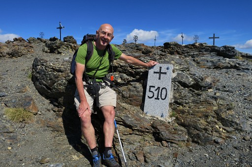
Bm510. The original bordercross was lost for many years but in 2013 replaced by this granite marker. |
 |
|
 |
|
 |
|
 |
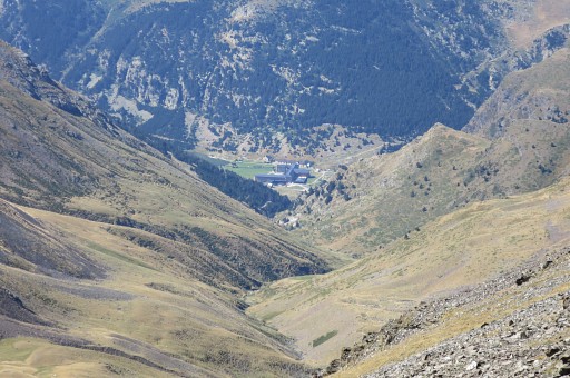
A view towards Núria. |
 |
Zoom-in |
 |
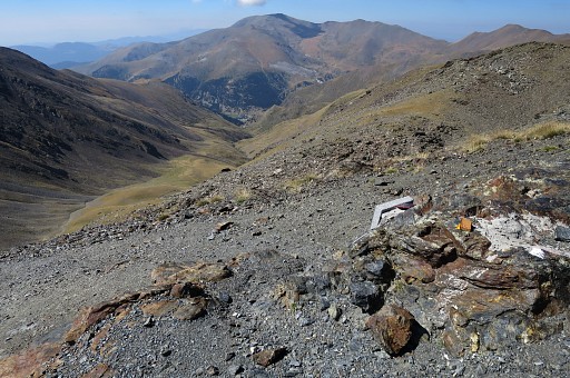
Looking back or in the direction of the GRPdesBF |
 |
|
 |
I return on the same route = the GR11-trail. |
 |
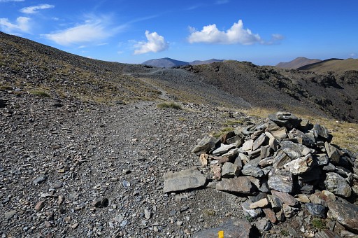
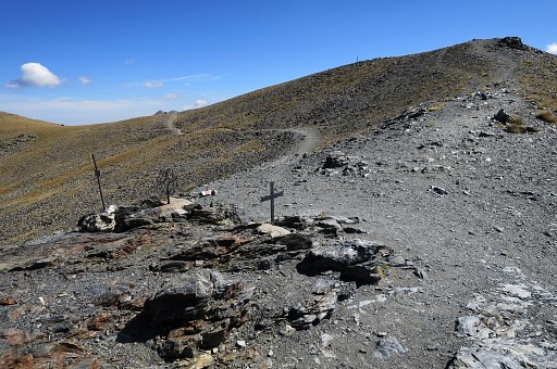
First following the borderridge |
 |
but then descending into the valley, |
 |
making a large half-circle |
 |
and passing |
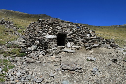 |
this simple shelter |
 |
The view from the shelter. |
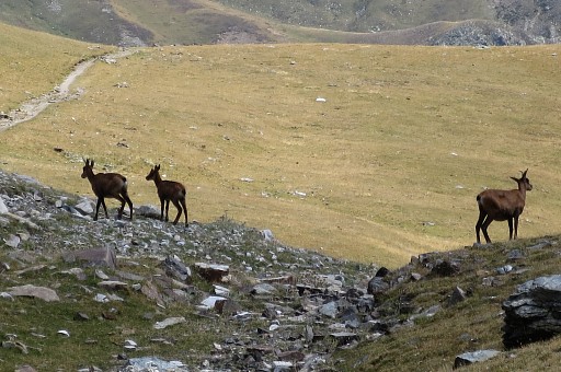 |
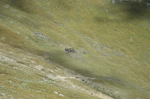
Isards |
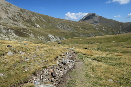 |
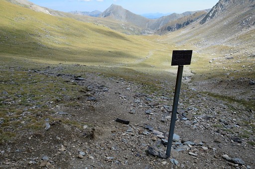
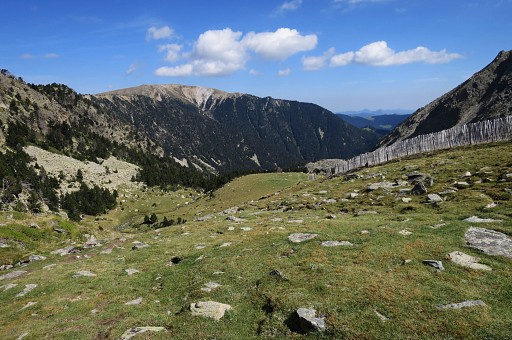
Then continuing to a coll, |
 |
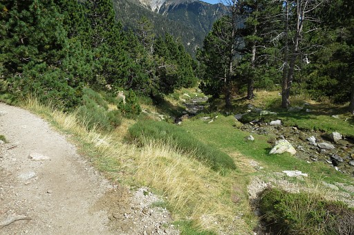
passing streams like these where the terrain is flat enough here and there for a bivouac. |
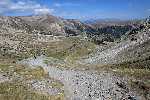 |
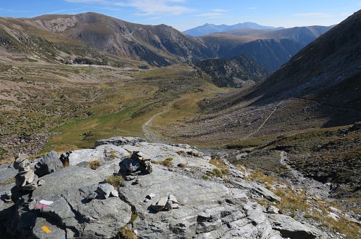
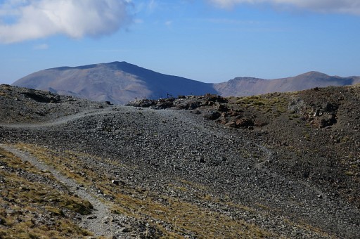
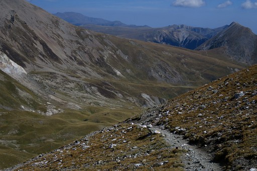
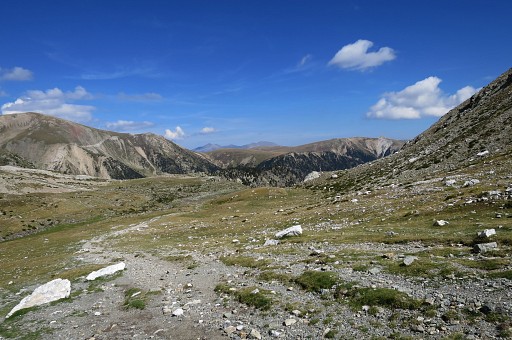
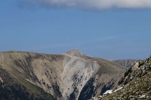
From the Col a view in the direction of Refugio de Ull de Ter |
 |
and the mountains of the next GRPdesBF-stage. |
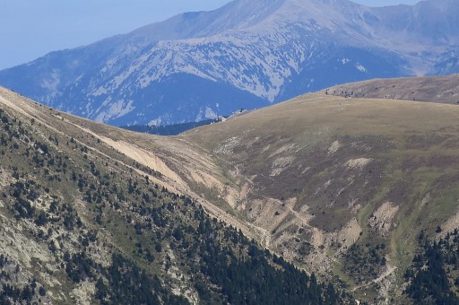 |
Zoom-in to Porteille de Mantet (bm511). That's the end and beginning of two GRPdesBF-stage. |
 |
Further on |
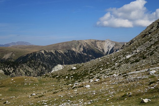 |
this zoom-in |
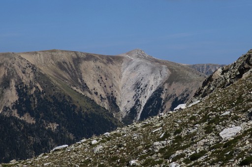 |
to the summit of |
 |
Pic de Coma Armada or Puig de la Llosa. The GRPdesBF takes a route underneath that summit at the French side. |
 |
Coming closer to |
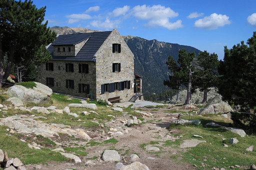 |
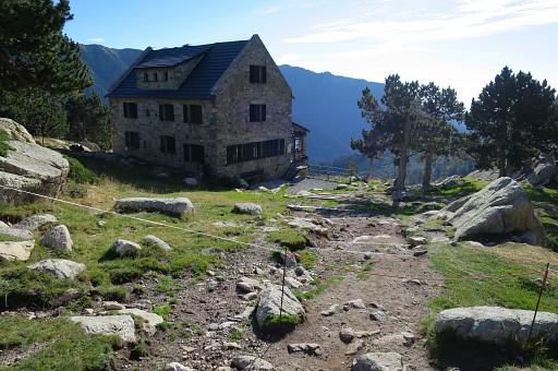
the Refugio de Ull de Ter |
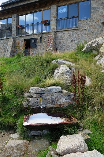 |
with a watersource outside. |
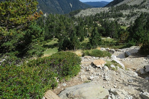 |
Then a steep descent to the road |
 |
with besides the trail some spots suitable for a bivouac (besides a stream). That's important because further on, up to Porteille de Mantet and on the next stage there are no sources and no bivouac-spots close to route. |
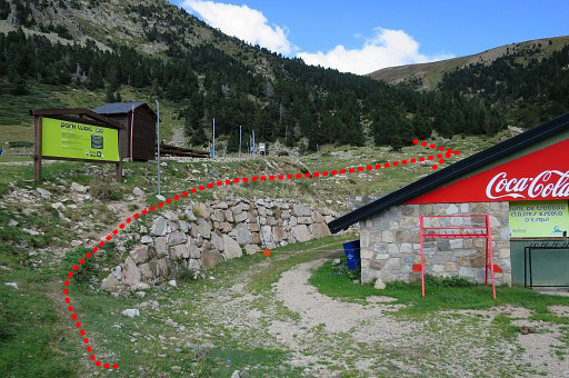 |
When back at my car, I drive to the ski-station to see where you can pick up the trail to Porteille de Mantet. Well that's here, |
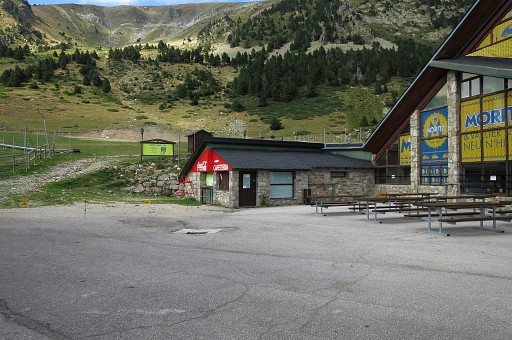 |
around a building |
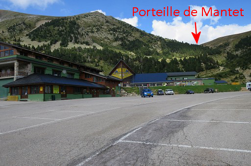 |
which is behind the main building. This picture shows where Col de Mantet is. |
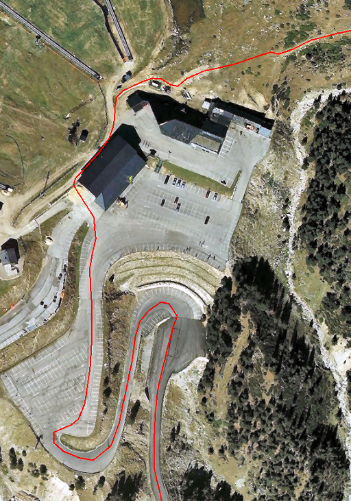 |
And this is the GRPdesBF-route at the ski-station. |