|
The
bordermarkers of the Pyrenees : all my trips
 |
|
| -
tuesday 13 september
2016 - Revisiting bm508 from Puigmal Err |
 |
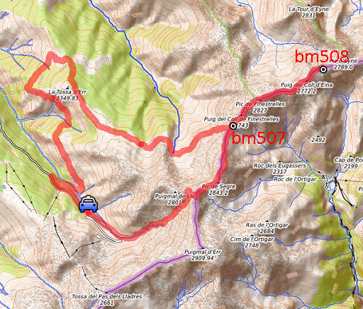 |
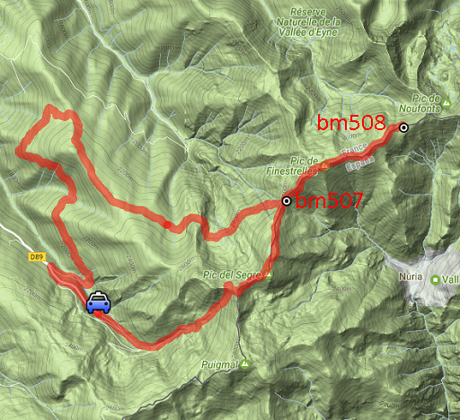
track-20160913.kml (click to open this trip in Google Earth or copy link to Google Maps; click right on this link to download gpx-version Summary: Part of a 9-days trip to the Pyrenees, covering various targets from east to west. Today: a long trip to revisit bm508 where the number seemed to have completely disappeared until Serge Poncet discovered that there's still an "8"visible. I want to make my own pictures. Basecamp is camping Las Closas in Err. Weather: sunny, nice |
 |
For
explanation of
the gps-coordinates and other cartographic backgrounds: see the cartography-page The gps-track has not been manually corrected which explains the inaccuracy and misalignment at some points. Started at 8h , finish at 18:15 |
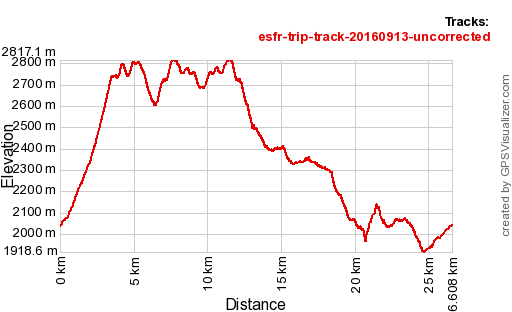 |
According
to Gps-Track-Analyse - distance : 27,2 km - cum. elevation gain : 2200m - cum. elevation loss : 2201m - total elevation: 4400m - altitude maxi : 2817m - altitude mini : 1919m - altitude average : 2347m |
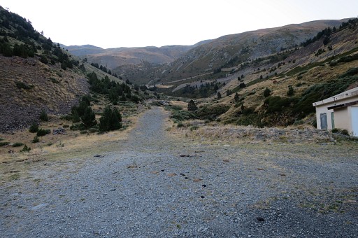 |
Starting-point is the ski-station of Puigmal Err. |
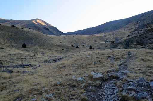 |
I'm climbing to the saddle between the Petit Puigmal de Segre and the Puigmal de Llo. |
 |
Now I'm at the saddle. |
 |
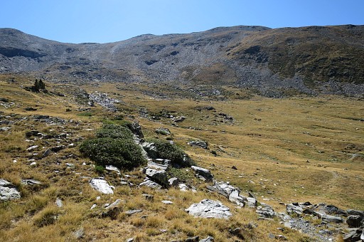
Apparently a direct descent to the Font de Segre is possible |
 |
going down this mountain-side. I will check the Font de Segre later today, to see if a bivouac is possible there. |
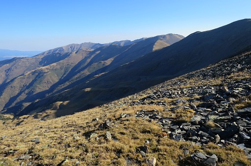
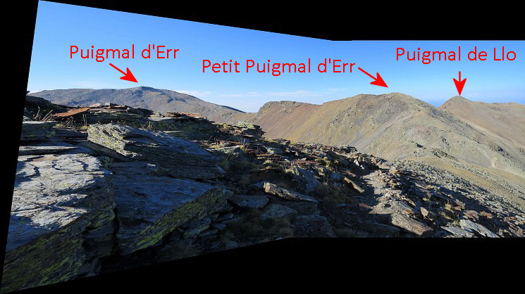
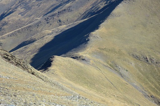
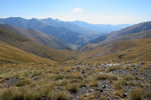
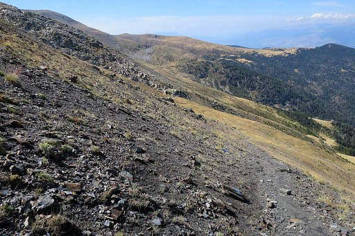
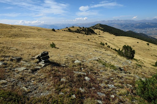
 When walking the GRPdesBF
and having passed the summit of Puigmal d'Err, you will arrive at this
saddle. Going wrong (taking the ridge of Puigmal de Llo, going NWW) is
possible here. You have to proceed NE-N. That's over and underneath the
dark-grey mountain ridge.
|
|
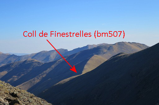 |
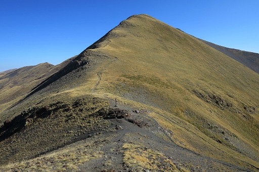
The Coll de Finestrelles (bm507) is already visible |
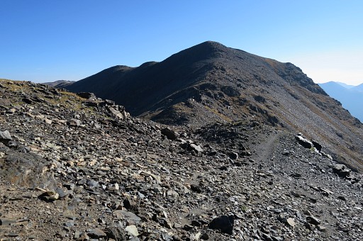 |
I continue towards the Puigmal de Segre ahead and |
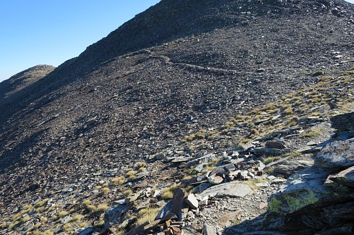 |
find that there is a trail underneath the summit, easier than going over the summit. |
 This picture: looking back
|
|
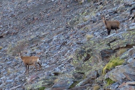 |
Spotting isards. |
 |
Descending to Coll de Finestrelles. |
 |
Zoom-in |
 |
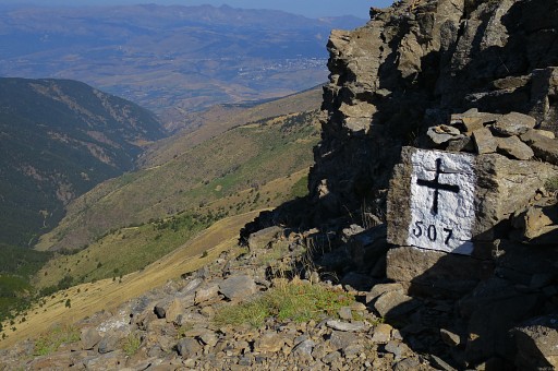
Arriving at the Coll |
 |
with a zoom-in to the spot of bm507 |
 |
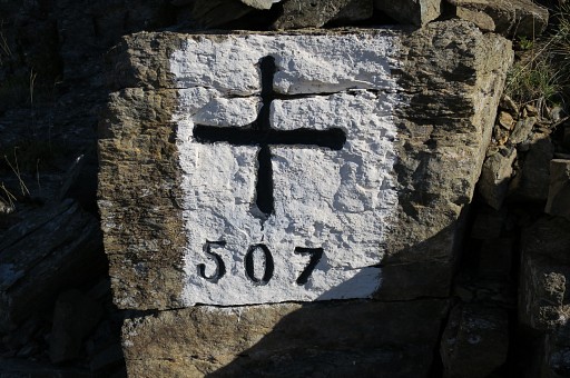
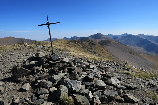
Bm507 |
 |
Looking down to Núria: place of worship, ski-station and small campingsite. |
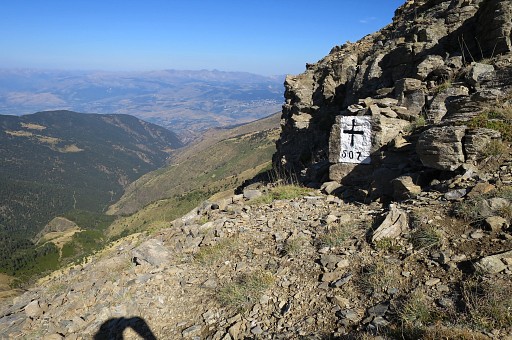 |
Bm507 |
 |
|
 |
|
 |
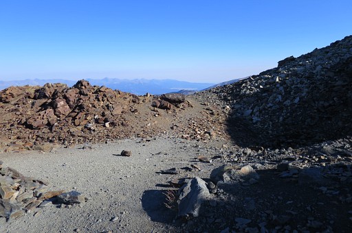
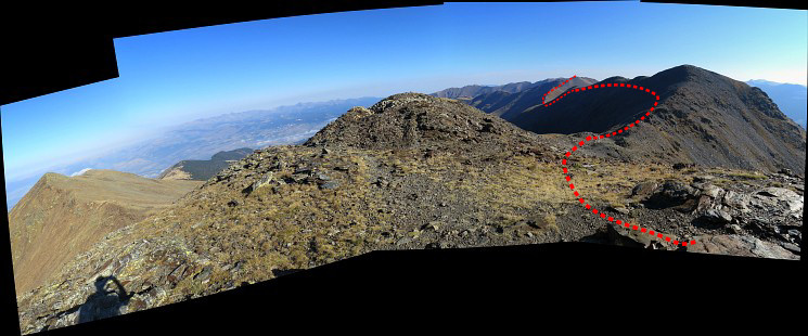
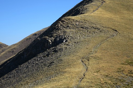
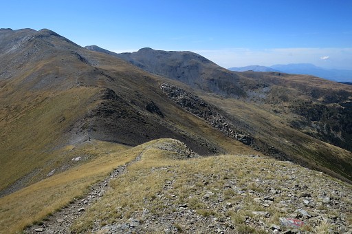
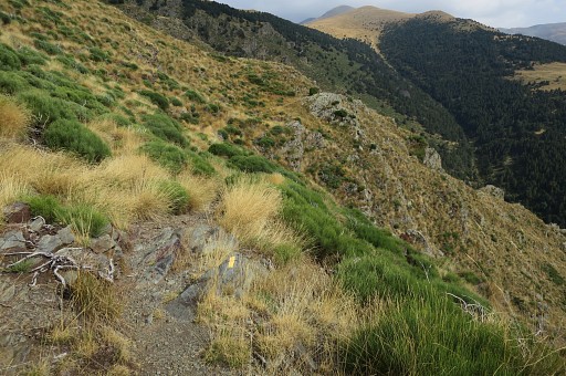
I continue over the borderridge, navigating is no problem on the well trodden trail. |
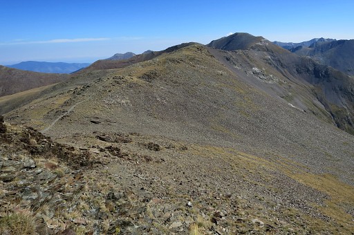 |
Continuing. This borderridge is one of the highest stretches of the GRPdesBF. You'll be vulnerable in bad weather. |
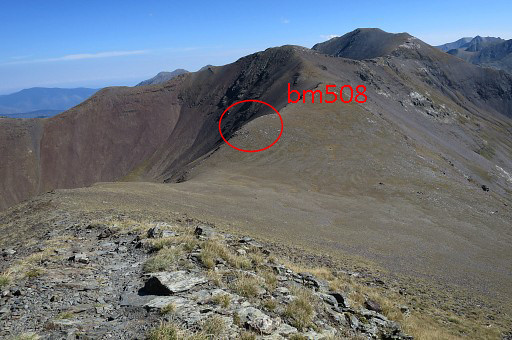 |
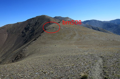
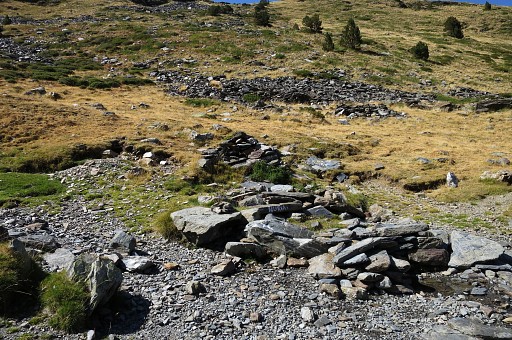
Descending to Coll de Núria. Bm508 is not at the Coll itself. |
 |
Zoom-in to the spot of bm508 |
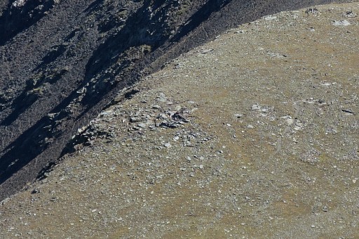 |
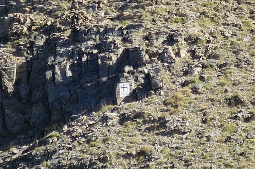
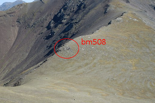
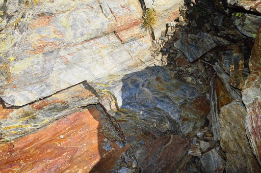
A small wall has been build around bm508 |
 |
Getting closer to the Coll |
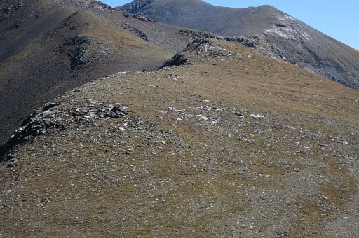 |
Zoom-in to bm508. |
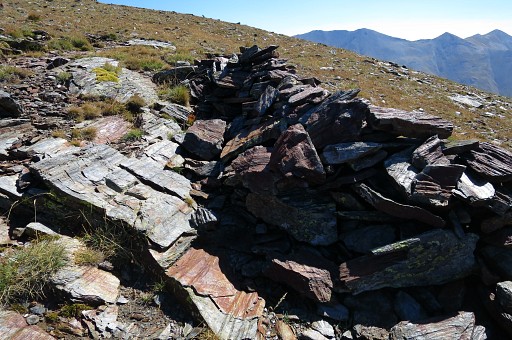 |
Note the small wall around bm508, as if to give it shelter. |
 |
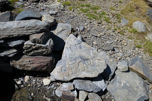
As you can see: no number. But identification as bm508 was certain because of the similarity of the cross with the other bordercrosses in this area and the correct distance from the Coll itself in accordance to the Treaty. |
 |
Looking down at the Coll de Núria |
 |
The number seemed to be lost completely. |
 |
But Serge Poncet did an amazing discovery in november 2015. He brushed away the loose grit and stone around the cross and he found an engraved 8! |
 |
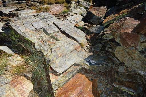
You can spot the "8" on this picture |
 |
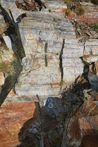
but better with some chalk. |
 |
|
 |
I return and - on this picture - am descending to Coll de Finestrelles. |
 |
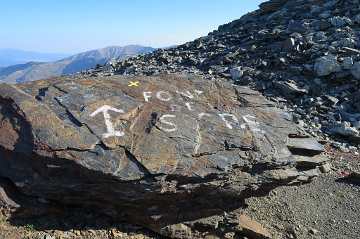
From Coll de Finestrelles, I take the trail descending into France in the direction |
 |
of Font de Segre |
 |
This is the source |
 |
with not much water but sufficient to fill your water bottles. But the terrain is too tilted to serve as a suitable spot for a bivouac when doing the GRPdesBF. Conclusion: it's more convenient to descend to Núria with its campingsite and fresh water if you need a place to bivouac. The next day you can climb directly to Coll de Núria and continue with the GRPdesBF. |
 |
I return to my car which seems an easy job on the maps. |
 |
But
soon trails and waymarks get vague and I get lost and it take a lot of
effort to climb back up the grassy hillside to find the trail back. |
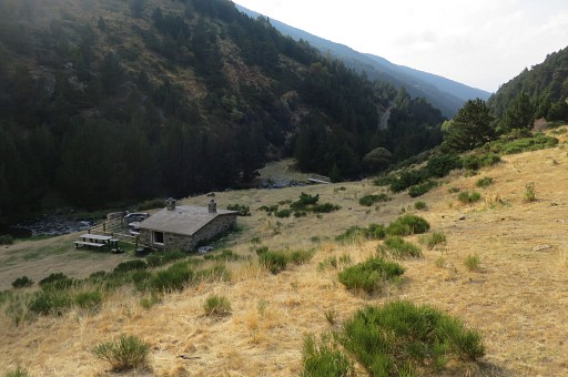 |
Finally I reach this cabin which is close to the road and my car. It's been a tough day. |