|
The
bordermarkers of the Pyrenees : all my trips
 |
|
| -
friday 21 july
2017 - Arriving in the Basque country, redoing bm060-064 and 072 |
 |
 |
Summary:
part of 13 day-trips in the Pyrenees, covering various
targets from the Basque country up to Llivia. Today: main target is to explore a shortcut between bm061 and 062. And being there anyway, I revisit the other bm's between 60 and 64. In the evening a visit to bm072. Weather: cloudy |
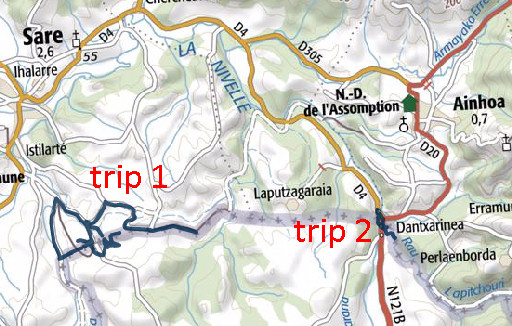
| Trip 1 | Bm060-064 |
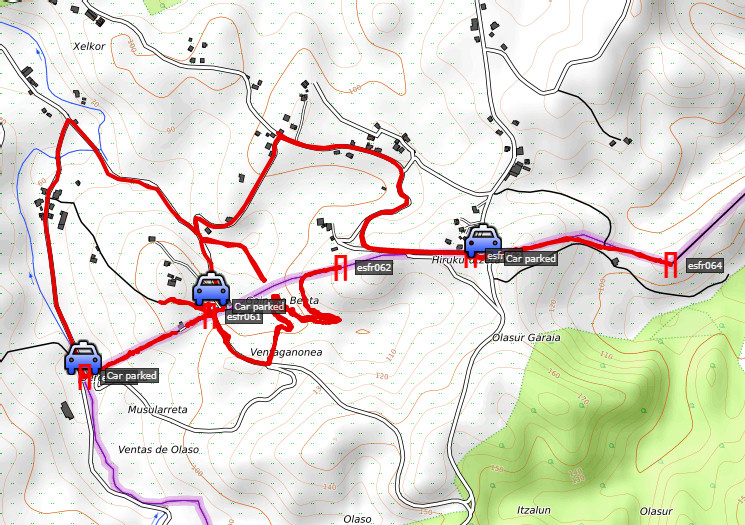 track-20170721-trip1.kml (click to open this trip in Google Earth or copy link to Google Maps; click right on this link to download gpx-version). The gps-track has not been manually corrected which explains the inaccuracy and misalignment at some points. For cartographic backgrounds: see the cartography-page According to Google Earth: 11,7km (including relocating with the car), max-height 142m, min-height 56m, elevation: +387m -419m Start 13:40 Finish 15:53 |
|
 |
In a two days drive arriving in the Pyrenees with a stop at camping Venise Verte. A reconnaissance from the borderpass with Venta Berrouetof and bm061 to see if there's shorter route from bm61 to bm062 in stead of following the detour of the GR10. |
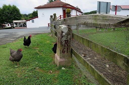 |
Bm061 |
 |
Bm061 |
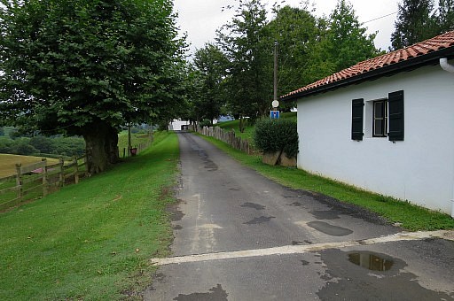 |
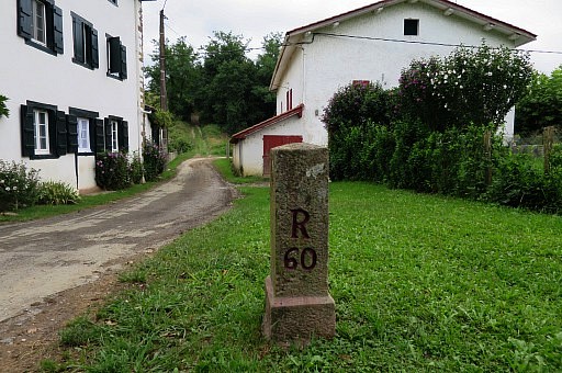
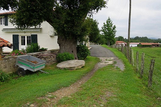
I notice that the straight road from bm61 to 60 passes a house |
 |
on a "chemin privé". In 2009 it seemed a public road or path in its entire length. There might be an alternative: the GR10-trail but that means a detour. |
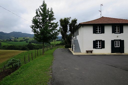 |
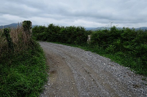
Beyond the house, the road continues as a dirtroad. Later on, I will check the dirtroad from the other side. |
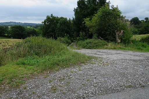 |
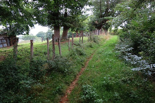
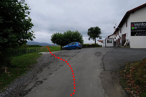
Bit first I try a new shortcut from bm061 to bm062 I descend from bm061 over the road into Spain. After 300m, turn left on this branch |
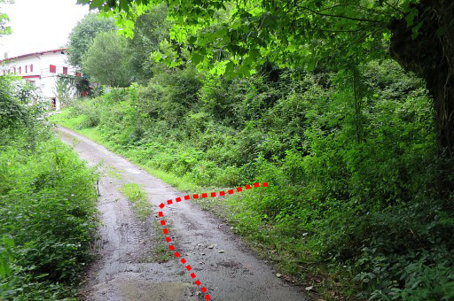 |
which leads to a restaurant. Don't go that far. About here leave the road to enter the forest on a small trail which brings |
 to this point. Go straight on and the trail bends back and climbs uphill. You could also try the slippery ascent to the lefst as a shortcut. |
|
 |
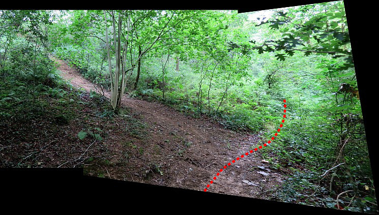
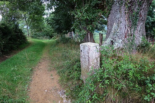
The trail arrives here., |
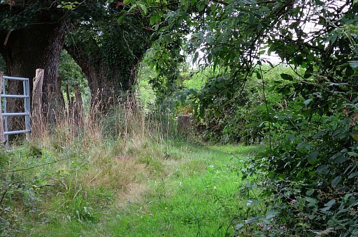 |
bringing me to bm062 |
 |
Bm062 |
 |
Bm062 If you continue, you will reach the road which will lead you to bm063 |
 |
Bm062 I return to bm061. Conclusion: this is a better alternative. |
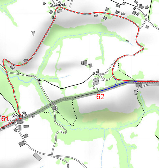 |
Let's summarize. This is the old route: from bm061 following the GR10 and making a short detour (variant) to bm062 |
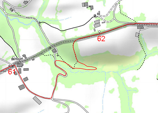 |
This is the new one. No more a variant needed for bm062, there's one route. |
 |
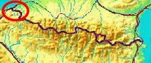
Interesting, this map (IGN France) shows another trail (in the blue circle), worthwhile trying. |
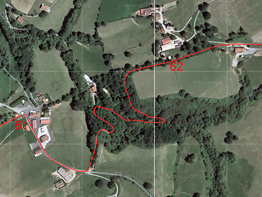 |
The new route on Google Earth |
 |
Then I drive E to 'do' bm063 and bm064 as well. Why? I'd like to visit and photograph all the markers at least twice. |
 |
Bm063 |
 |
Bm063 |
 |
Bm063 |
 |
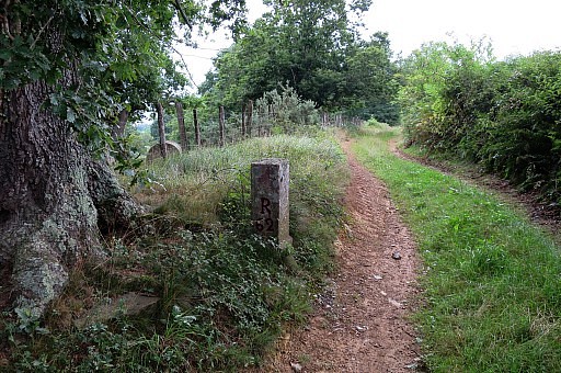
I continue on the dirtroad |
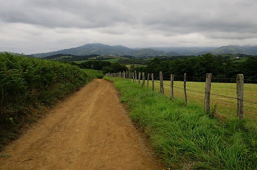 |
A view ahead, |
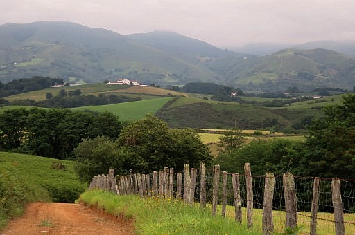 |
zooming in |
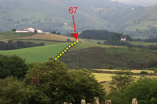 |
to a part of the border where crossing of a stream and the climb uphill might be a problem. Tomorrow I will learn that there is indeed a problem and that I have to divert the GRPdesBF-route. |
 |
Bm064 |
 |
Bm064 |
 |
I finish by driving to
bm60
|
 |
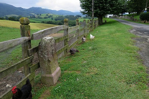
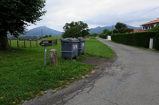
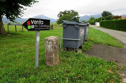
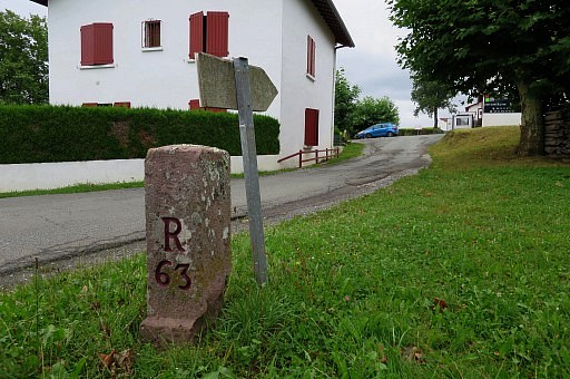
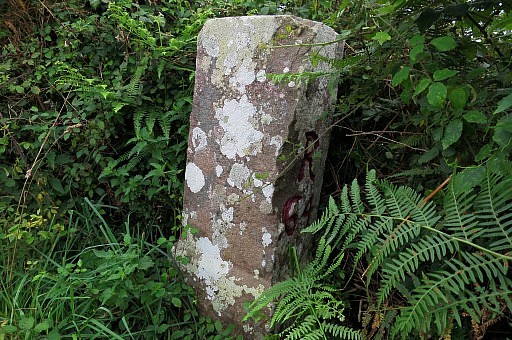
Bm060 |
 |
Bm060 |
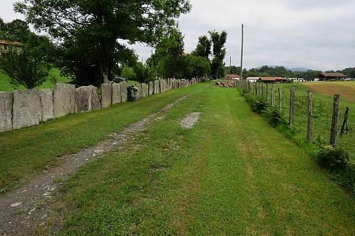 |
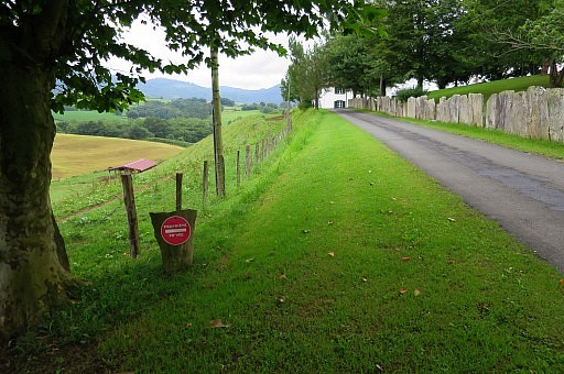
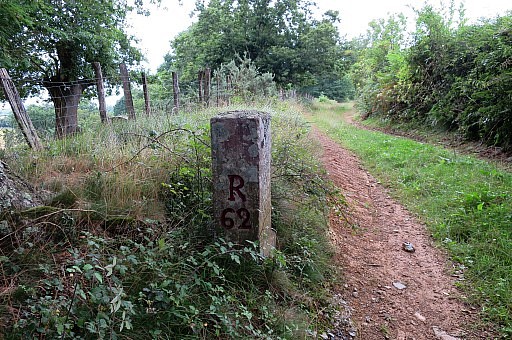
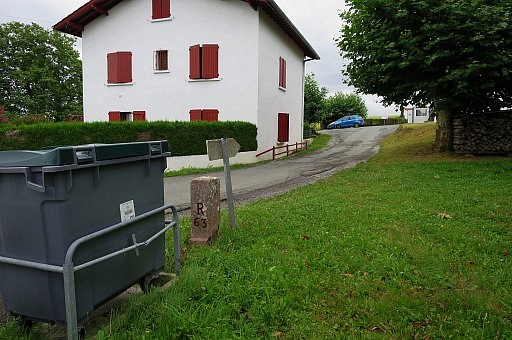
I walk up the straight and climbing dirtroad towards bm61. Along the dirtroad there are no 'private road´-signs, |
 |
not even when I
approach the house near bm61. Thus: one can assume that this road is a public road/path and I can keep it incorporated in the GRPdesBF. |
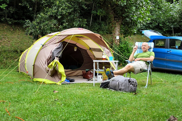 I drive to Dantxarria to
pitch my tent at the camping where I drive to Dantxarria to
pitch my tent at the camping where |
|
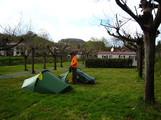 |
Jan-Willem Doomen and I stayed in 2009 in slightly more uncomfortable situation. |
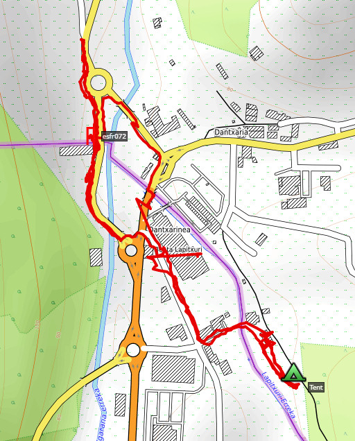 |
Trip 2 Short stroll in the evening to bm072. track-20170721-trip2.kml (click to open this trip in Google Earth or copy link to Google Maps; click right on this link to download gpx-version According to Google Earth: 2,2km, Start 18:13 Finish 19:15 |
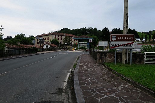 |
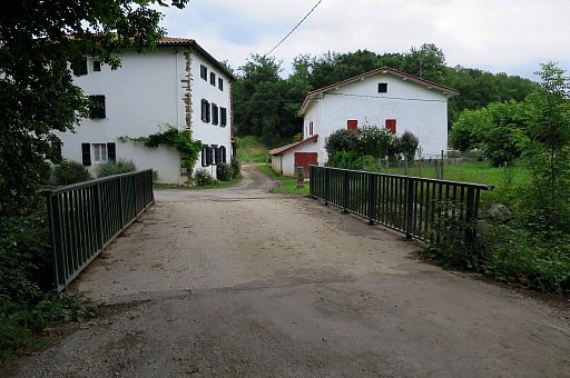
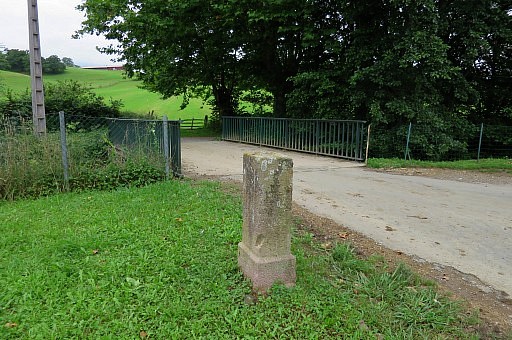
Approaching the bridge |
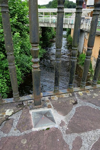 |
over the borderstream. A plaque marks the border |
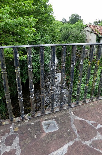 |
on both sides. |
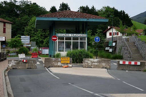 |
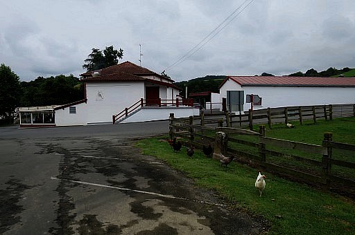
The old customs office at the French side. |
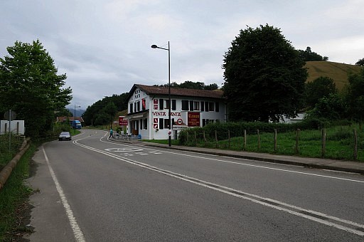 |
Then to Venta Panta |
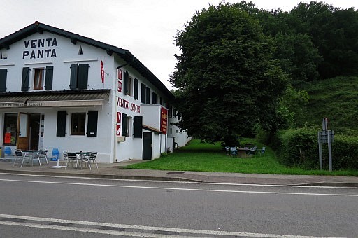 |
with bm072 |
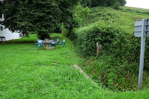 |
Bm072 |
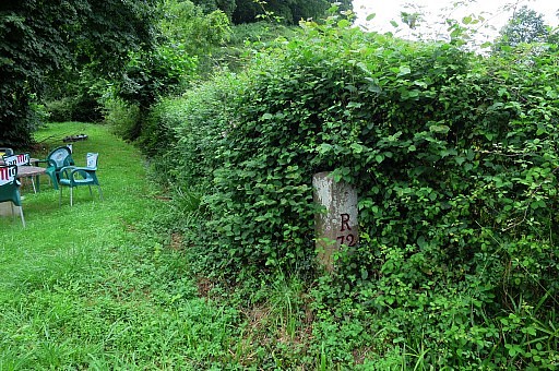 |
Bm072 |
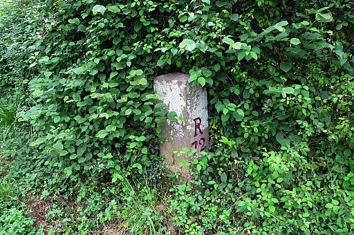 |
Bm072 |
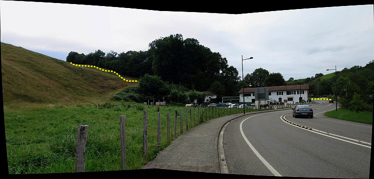 I notice that the steep meadows up to bm071 are now
sturdy fenced and used as horse-meadows.
|
|