|
The
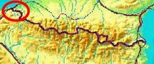
bordermarkers of the Pyrenees : all my trips
 |
|
| -
saturday 22 july
2017 - Redoing bm065 to 074 |
 |
 |
Summary: part of 13 day-trips in
the Pyrenees, covering various
targets from the Basque country up to Llivia. Today: redoing bm65 to bm074 in two trips Weather: cloudy |
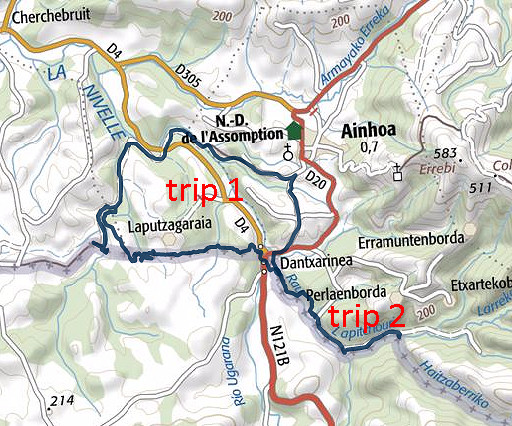
| Trip 1 | Bm065-072 |
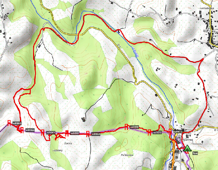 track-20170722-trip1.kml
(click to open this trip in Google Earth or copy link to Google Maps; click right on this link to download gpx-version). The gps-track has not been manually corrected which explains the inaccuracy and misalignment at some points. For cartographic backgrounds: see the cartography-page According to Google Earth: 12,8km, max-height 138m, min-height 51m, elevation: +446m -448m Start 9:23 Finish 14:49 |
|
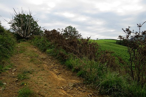
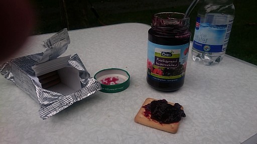 | Luxurious breakfast with marmelade on my toast. It's about 7 km along the GR10 (from the camping in Dantxarria) to bm065. I cover that stretch while trailrunning with a small backpack which goes surprisingly smoothly. It seems that my escalator-training in the gym has benefitted me. |
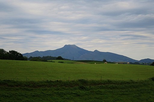 | In between: this view towards La Rhune |
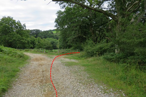
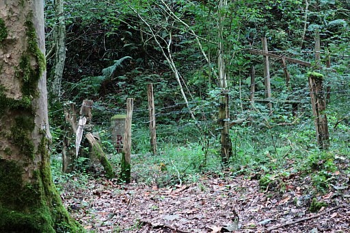
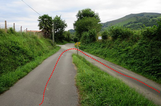 | Important change of course in the GRPdesBf, when coming from bm066. Going straight on would bring you to Ainhoa. Turning right brings you to Dantxarria. |
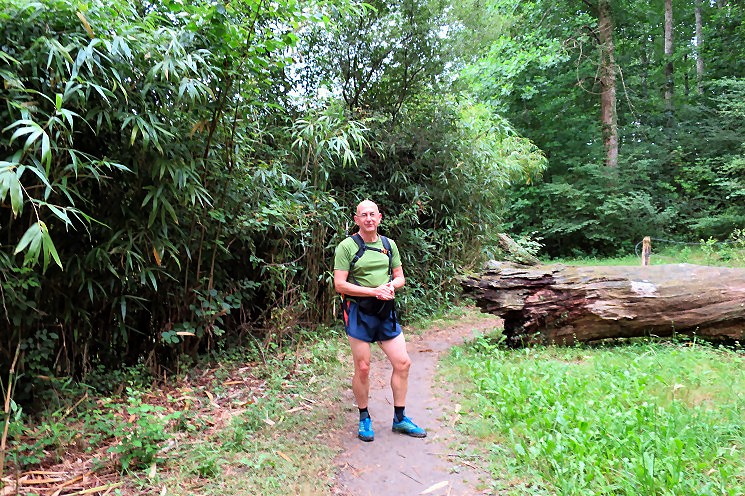 Still looking fit.
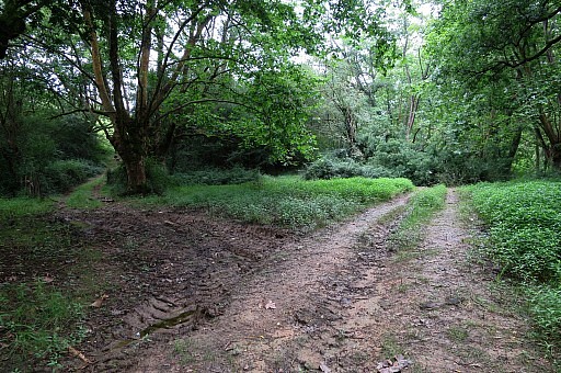
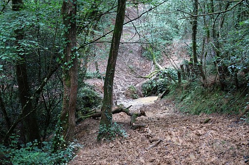
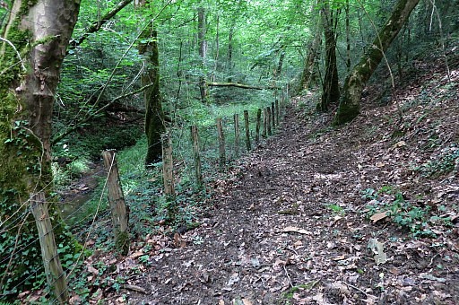
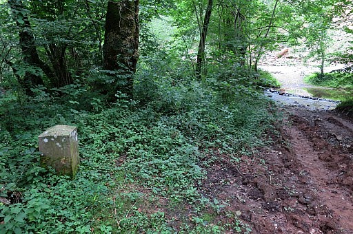
The GR10 follows in the last kilometers of this stretch a muddy trail along a stream with the dirtroad just meters besides it. For the GRPdesBF I will use the dirtroad. | |
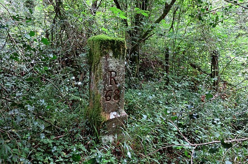
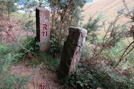
 | Bm065 seems even more tilted than before. |
 | Bm065 |
 | Bm065 |
 | Bm065. The number is still visible. |
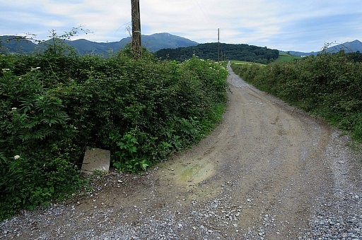
 | Walking back. The yellow line is the borderline |
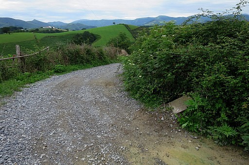
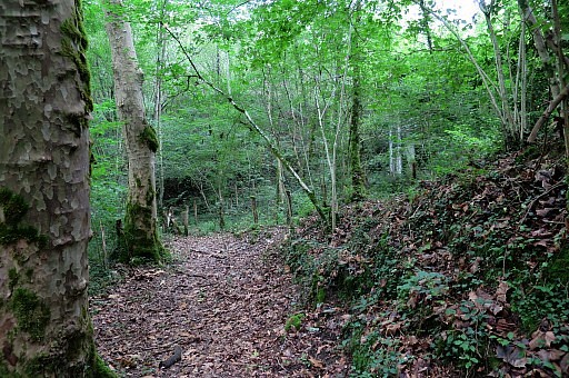
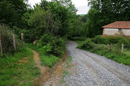 | The GR10 takes a short shortcut to the left in stead of continuing along the dirtroad but my GRPdesBF sticks to the dirtroad. |
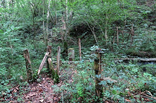
 | At the abondoned house near bm064 I change some clothes (capri-trousers and long socks instead of my running-short). I think I will need them in the blackberry-undergrowth and I'm indeed right. |
 | Besides the (abandoned) house crossing the fence and descending to the stream. |
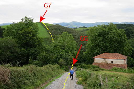
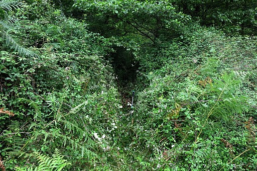
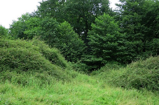
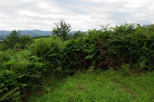
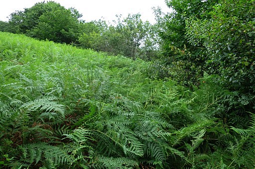
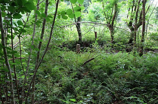
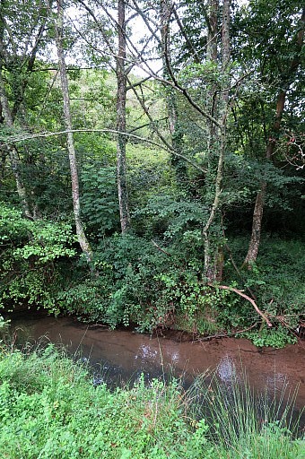 | There is a remarkable difference in the landscape compared with 2009: blackberries and ferns are taking over entire fields. In 2009 we could cross the stream easily, climb a fence and walk uphill to bm67 (in fact we did that the other way around). That's not possible anymore. The stream seems more wide but more important: the lower part of the hillside is a jungle of ferns and blackberries. |
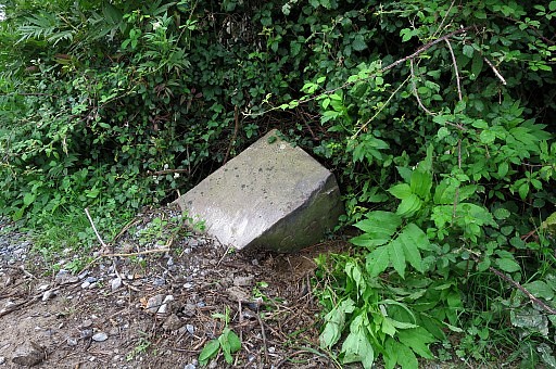
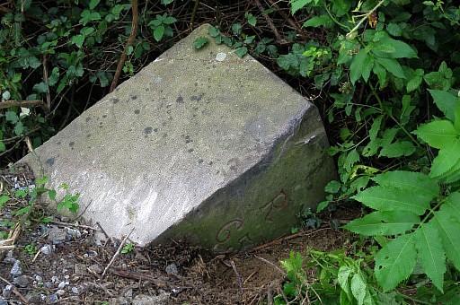
 | Bm66 is particularly difficult to reach, it is now surrounded by a dense layer of blackberries. I almost give up but in my last trial I use my walking sticking to hit and slay a path through the blackberry which is easier than it looked. |
 | Bm066 is about 10m from the stream. |
 | Bm066 |
 | Bm066 |
 | Bm066 |
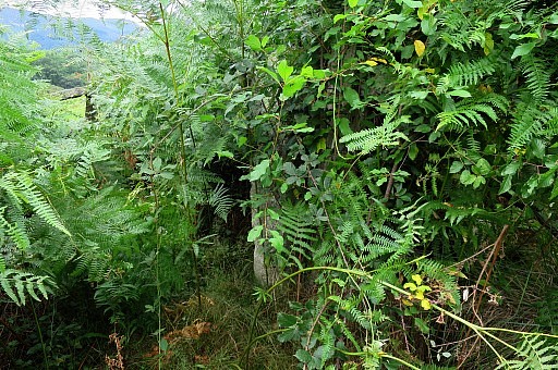
 | A look into the corridor |
 | with a zoom-in to bm066 |
 You need to enter the meadow besides the house to get as close to bm066 before you force yourself a path to it.
| |
 | Zoom-in to where to struggle yourself to bm066. As said before, crossing the stream and climbing the hill to bm067 is not possible anymore. The stream seems more wide but more important: the lower part of the hillside is a jungle of ferns and blackberries. |
 | But there´s an alternative. Back along the dirtroad I've seen a branch entering the forest. That is here. That brings me, |
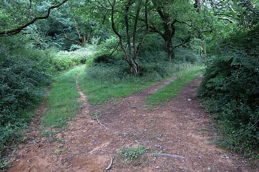 | taking twice the right fork at two successive biforks, in the direction of bm067. This is the first bifork. |
 | Passing this ford. |
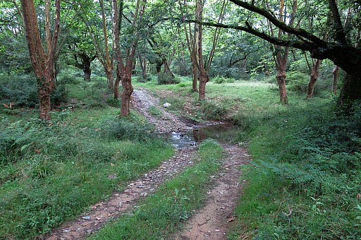
 | This is the second bifork, a fallen tree ahead. |
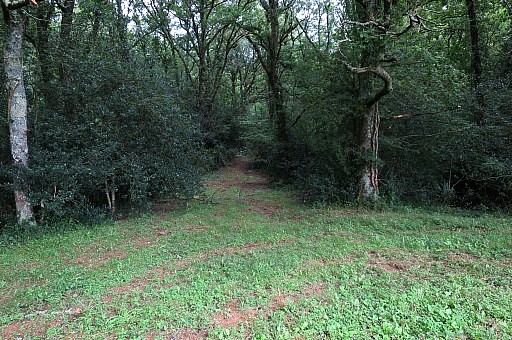
 | I arrive at open terrain |
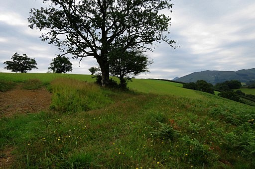 | and from here I walk over the meadow |
 | to a second meadow towards bm067. |
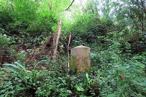
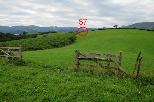
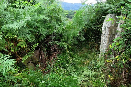
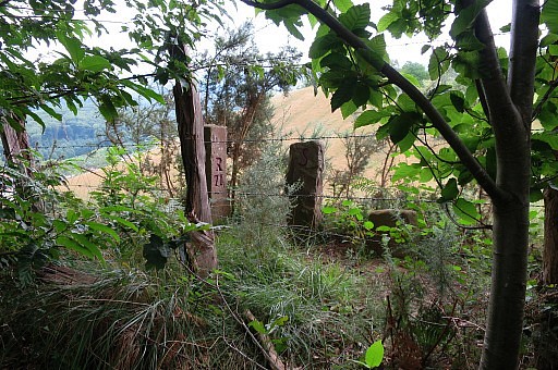
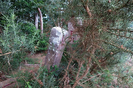
 | But (the destroyed) bm067 and its neigbour - a municipal borderstone) are hidden in ferns and in between two fences. |
 | I use my walking stick |
 | to clear the spot |
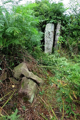 | In the front the demolished bm067 and behind the old municipal marker. |
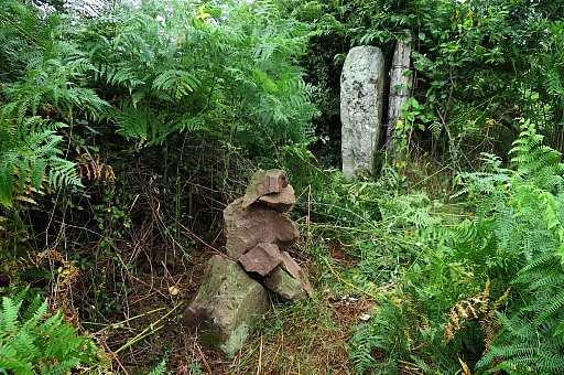 | I don't find any trace of a number or cross on the bm-pieces. So far so good. |
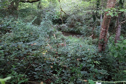
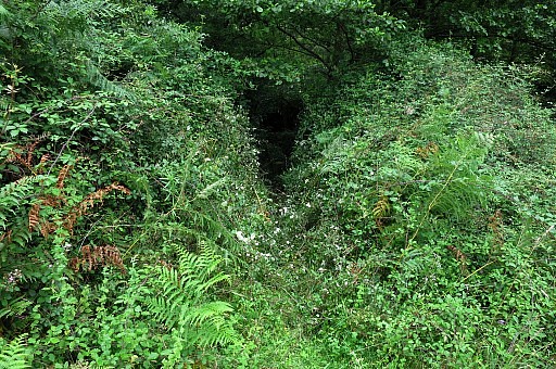
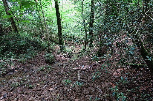
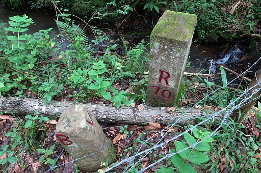
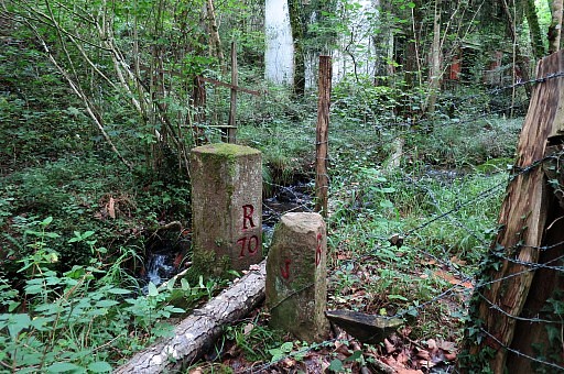
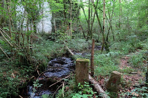
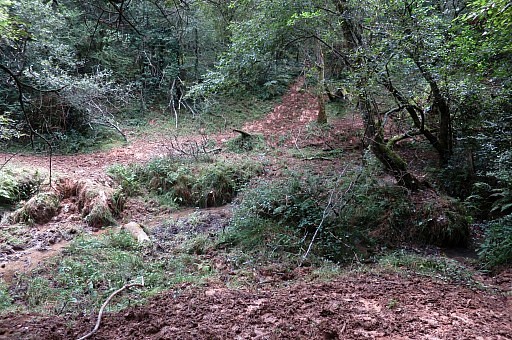 | In the adjoining field I make a half circle around the forest edge to the NE-end of the meadow. From the end of the meadow a muddy trail goes SE to this muddy stream-crossing. Then I go wrong, going S, and I'm puzzled because I follow my own directions and pictures on my website. It takes a while before I discover what is wrong: my website is wrong. There are two muddy stream-crossings! |
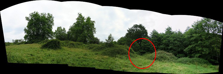
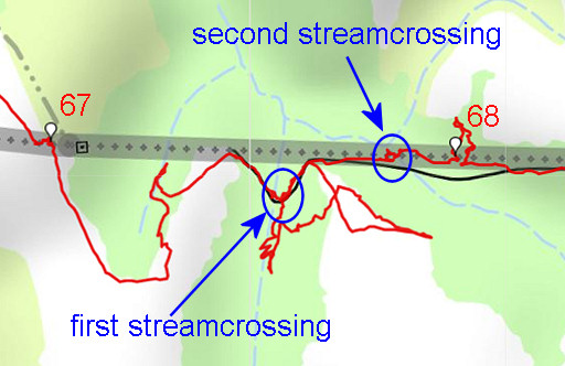 |
Let's show it on the map. |
 | So: from the first streamcrossing, follow the trail NE and E |
 | which descends to an even more muddy stream-crossing |
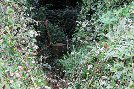
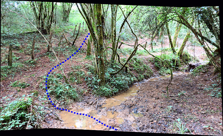 Now you have arrived at the
border-fence. It's is best to keep at the Spanish side with all his
cow-trails, keeping close to the fence.
| |
 | I
try the French side but the forest strip along it is difficult to get
through. Bm68 is however on the French side of the fence. |
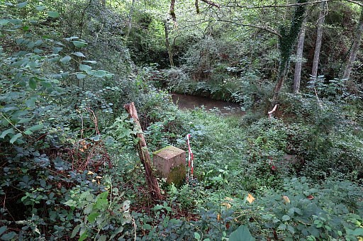
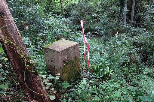
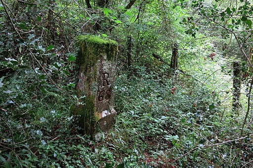 | Bm068 |
 | Bm068 |
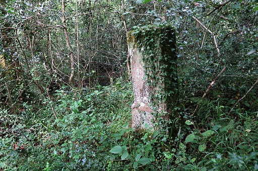 | Bm068 |
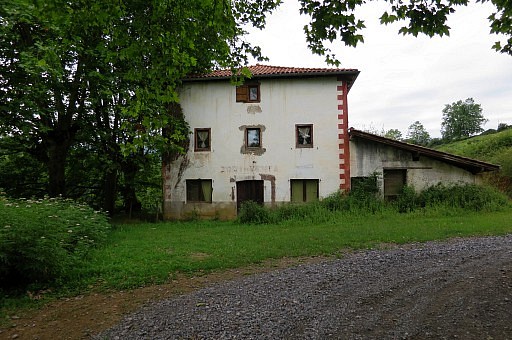
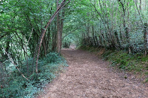
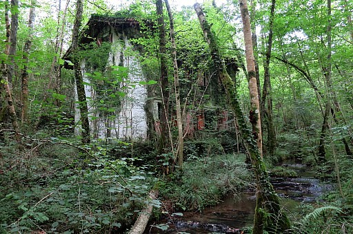
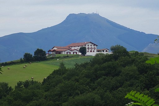
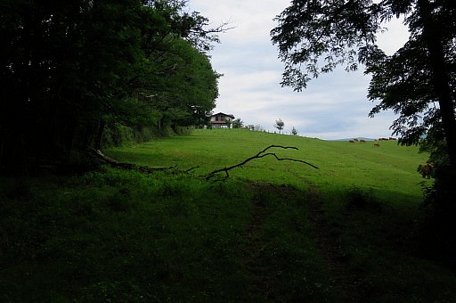 | I switch back to the Spanish side, reach now easily the meadow and then the large building which you see at this picture. |
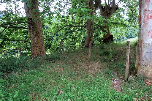
 | Just before the building's premises, it is easy to get over the fence to the left and proceed |
 | to bm069. |
 | Bm069 |
 | Bm069 |
 | Bm069 |
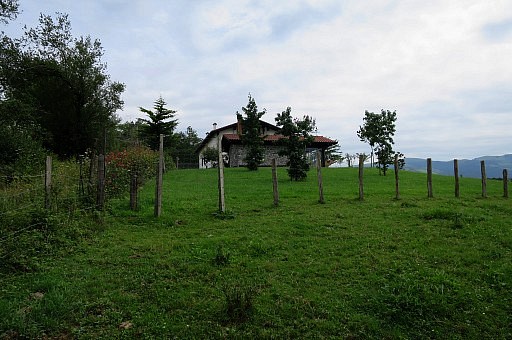
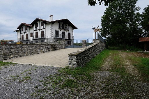 | The
building itself - once mysterious, seeming abandoned - is now in use as
a group accomodation for the scouting-movement (I think). |
 | Then along the N-side of the Spanish meadow |
 | to its NE-point where a muddy cow-trail |
 | descends along a stream |
 | and a fence |
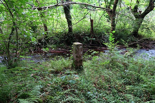
 | until it ends at bm70, close to an abandoned house. |
 | Bm070 |
 | Bm070 |
 | The abandoned house. |
 | Bm070 |
 | Bm070 |
 | Bm070 |
 | At the other side of the stream, a steep trail (a game trail, I think) brings me to a field, fully taken over by ferns |
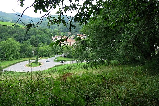
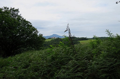 | View back towards |
 | La Rhune. |
 | Wrestling through the fern uphill, I reach a forest strip and bm071 which is at the Spanish side of the fence. |
 | Bm071 |
 | Bm071 |
 | Bm071 |
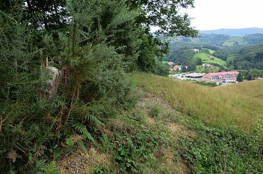 | Bm071 with a view towards Dantxarria |
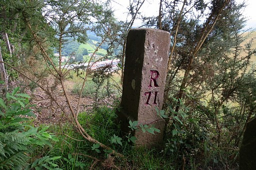 | Bm071 |
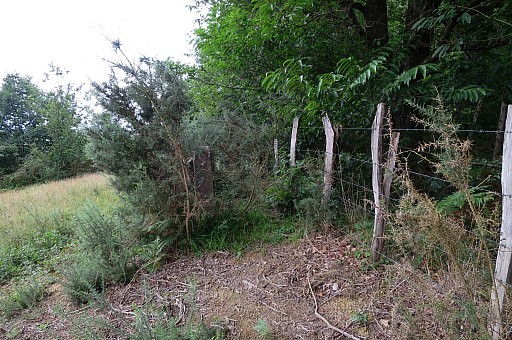 | I know that the Spanish meadow is in use for horses so I switch back to the French side. |
 | I have - further on - to cross a meadow with cows and can descend to the road, following the forest-edge. |
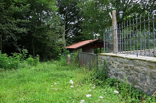
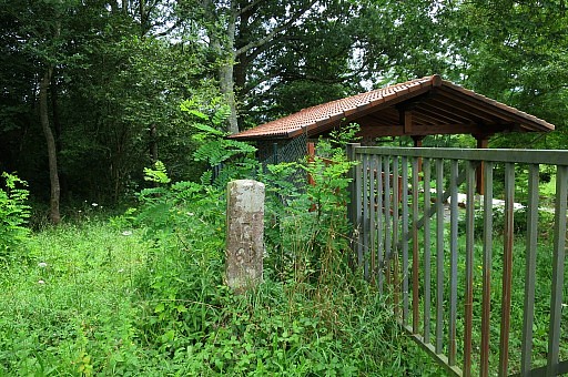
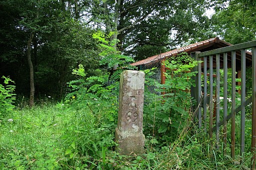
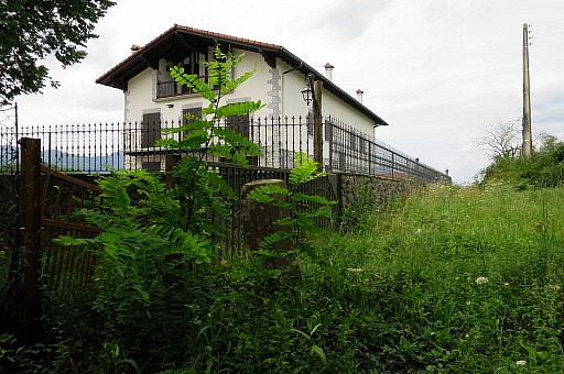
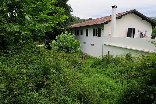 | I discover that at the back of the Venta besides bm72, there's a gate which gives access to the venta's premises and the road. |
 | Almost at the road. |
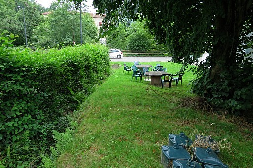
 | Bm072 to the left. Back to the camping for a break. I'm content with this trip and surprised how the landscape is changing, nature beating agriculture. |
| Trip 2 |
Bm73-74 |
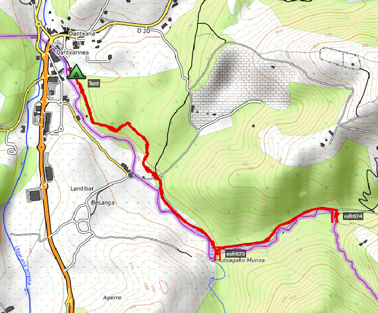 According to Google Earth: 5,5km Start 17:13 Finish 18:55 |
|
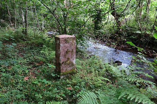
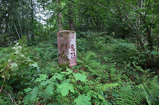
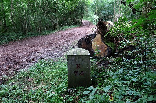
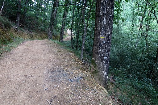 | Then in the late afternoon a short trip to bm73 and 74, following a yellow trail. |
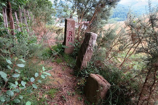
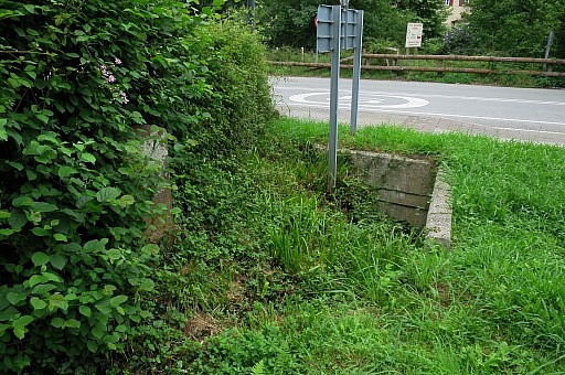
 | Bm073 |
 | Bm073 |
 | Bm073 |
 | Bm073 |
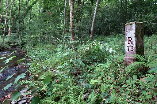 | Bm073 |
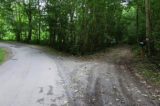
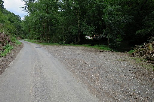 | Further on, I leave the road |
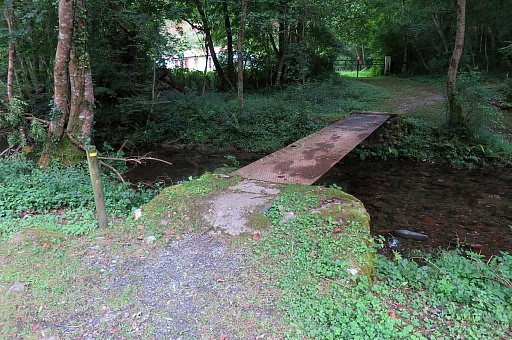 | and pass this footbridge |
 | to get to bm074 |
 | Bm074 |
 | In
the stream besides bm074, I search for the split half of the old bm74 -
Jacques Koleck found that in 2013 - but I can't find it. |
 | Bm074 |
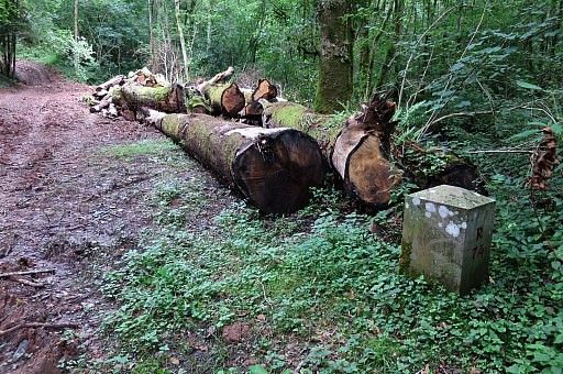
 | I walk back. This is the spot where you have enter the forest straight on (between the two roads) to get in 25m to bm073. The right fork is a private road. |
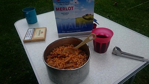 | Back at the camping and enjoying my macaroni-dinner. |