|
The
bordermarkers of the Pyrenees : all my trips
 |
|
| -
wednesday 2 august
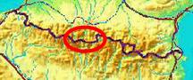
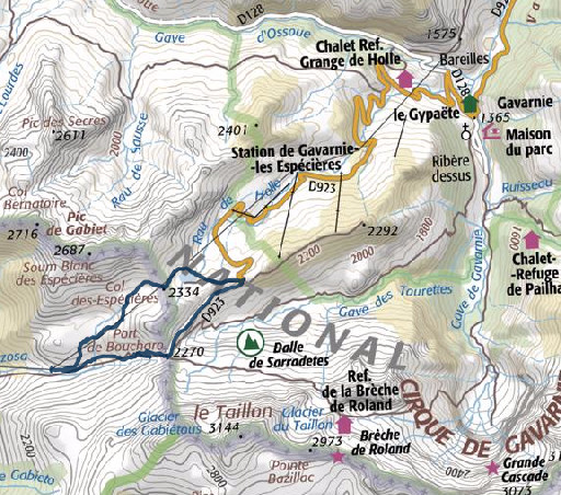
2017 - Near Gavarnie: roundtrip along 319 and 318 |
 |
 |
Summary: part of 13 day-trips in
the Pyrenees, covering various
targets from the Basque country up to Llivia. Today: from Col de Tentes near Gavarnie a roundtrip along bm319 and 218 Weather: cloudy, strong winds |
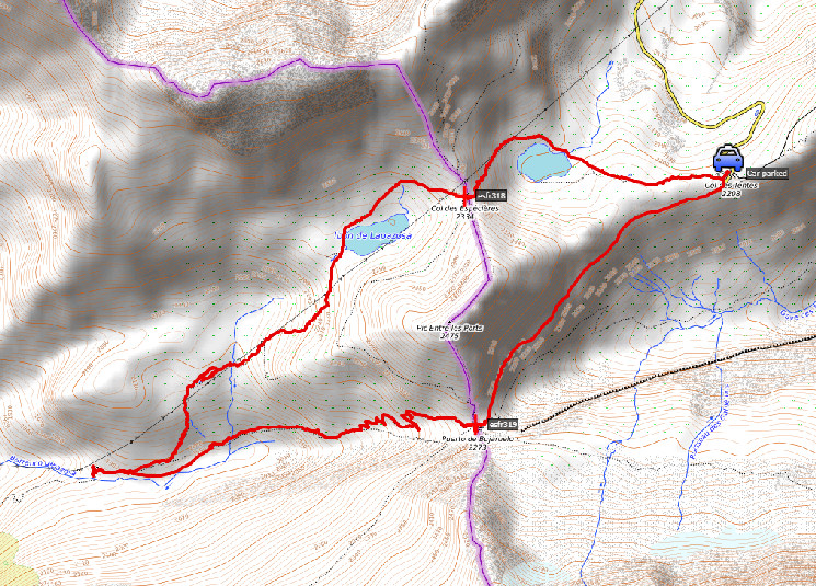 track-20170802.kml
(click to open this trip in Google Earth or copy link to Google Maps; click right on this link to download gpx-version). The gps-track has not been manually corrected which explains the inaccuracy and misalignment at some points. For cartographic backgrounds: see the cartography-page |
|
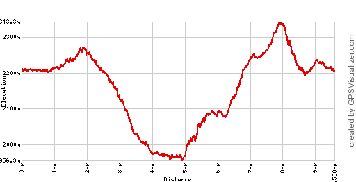 |
According to Google Earth:
8,7km, max-height 2377m, min-height 2017m, elevation: +605m -605m Start 9:36 Finish 13:06 |
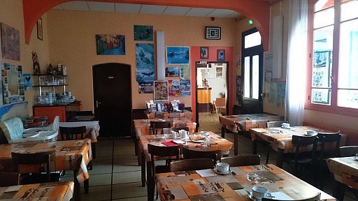 | Breakfast room in Hotel d'Annecy in Lourdes, my favorite hotel where few things change over the years. |
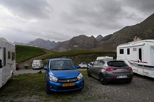 | Driving to the parking spot at Col de Trentes above Gavarnie. |
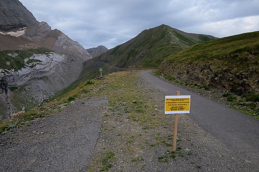 | The path - former tarmac road of an apparently never accomplished cross-border connection to Spain - to Port de Boucharo. |
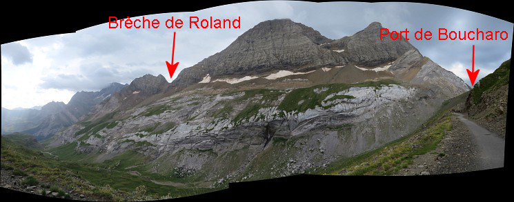 Panorama: at the port de Boucharo a trail start to iconic Brèche de Roland.
| |
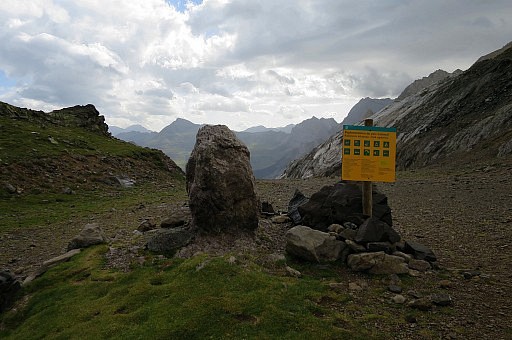
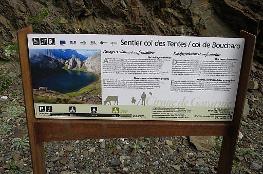 | An information board tells more about |
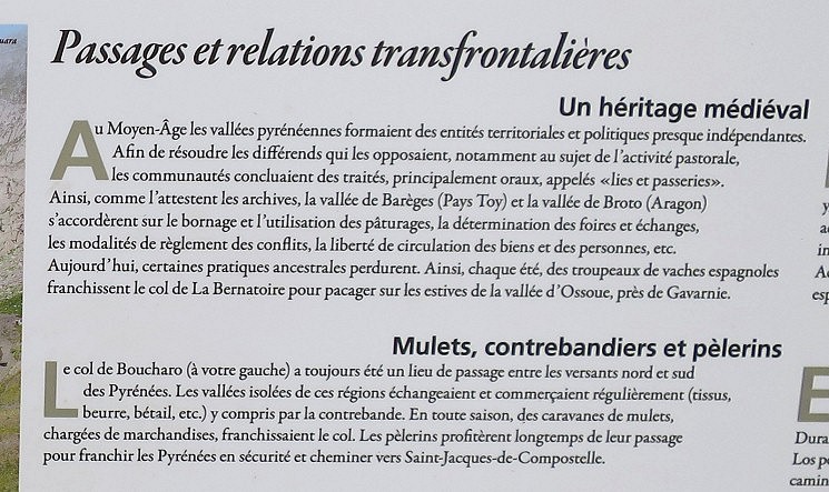 the cross-border relations and transportation. The Port de Boucharo has always been an important borderpass
| |
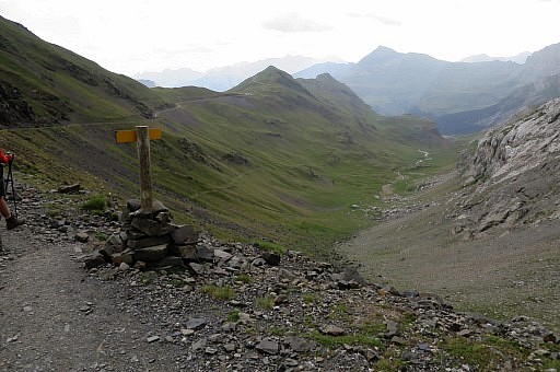 | Almost at Col de Boucharo, this is the start of the descent towards Gavarnie. |
 | Approaching Col de Boucharo |
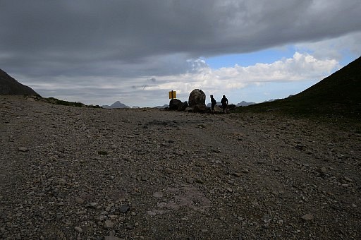
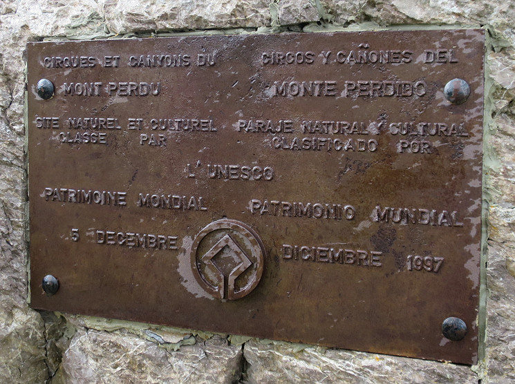
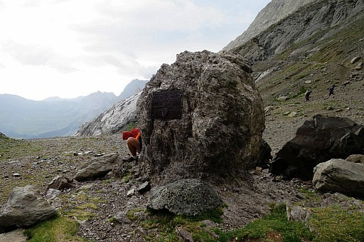 | The boulder at the Port de Boucharo |
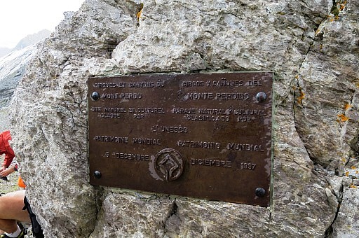 | with a plaque. |
 |
|
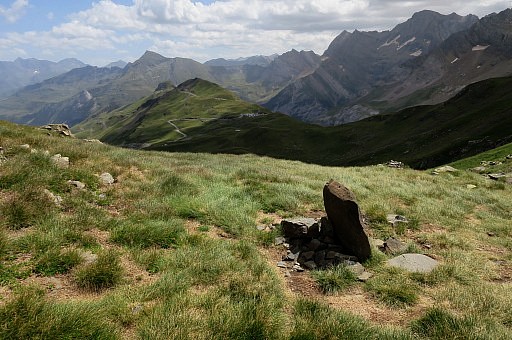
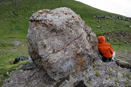 | The bordercross 319 is at the other side |
 | Looking towards France |
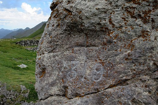 | Bm319 |
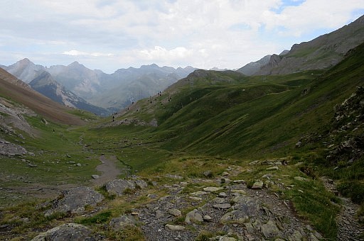 | Looking into Spain, I descend along the trail. |
 | Having descended a while and looking back to Port de Boucharo. |
 | Approaching a cabin which is at the bifurcation of the main GRPdesBF-trail to Port de Boucharo and the variant via bm318 |
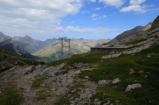
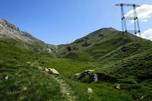
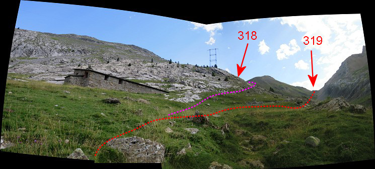 A
bit beyond (downhill) the cabin. To the right: towards Port de
Boucharo, to the left : towards the electric transmission tower the
variant via bm318. The trail to bm318 is yellow waymarked.
| |
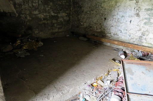 | A look into the cabin, could be a bad weather refuge, nothing more. |
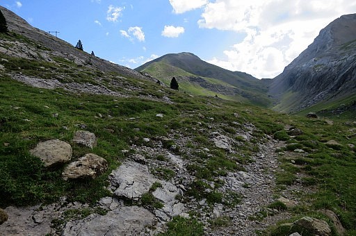
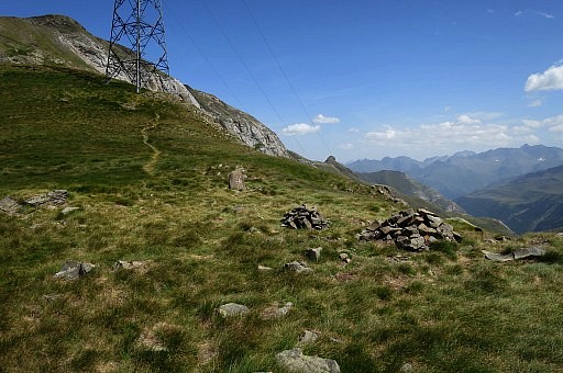
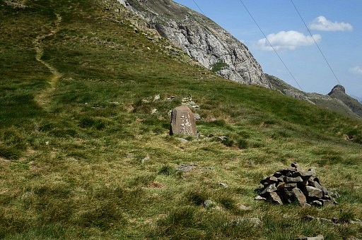
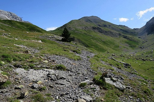 | N of the cabin a trail starts |
 | but if you lose it: no problem. Just follow grosso modo the electric high-voltage lines which passes the border at Col de Espécières (bm318). |
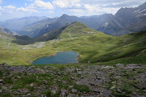
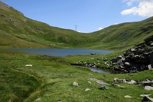 | The trail brings you you to this lake |
 | and to Col de Espécières with |
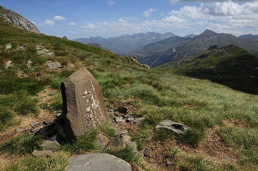
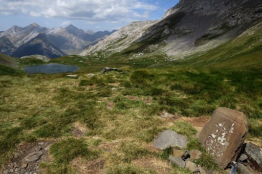
 | bm318 |
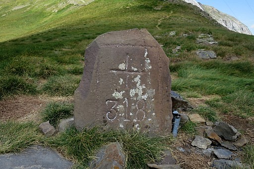 | In comparison with bm319 a neatly carved cross and number. It looks like a loose rock. |
 | Looking into France |
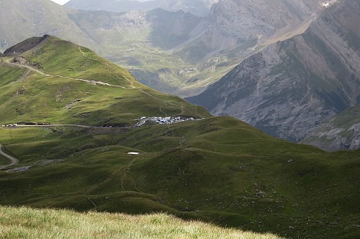 | with a zoom-in to the parking spot at Col de Trentes where my car is parked. |
 | Bm318 |
 | Looking into Spain |
 | Descending into France |
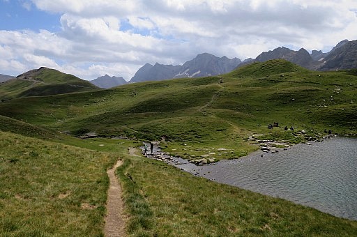 | Enough bivouac opportunities here at Lac des Espécières |
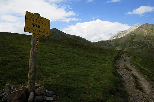 | An
intriguing information board with "NO KILL" which I have seen more
often. It means that any fish caught has to be released (see this page). Many tourists around in this holiday season, I find a camping in Luz Saint Savour. |