|
The
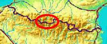
bordermarkers of the Pyrenees : all my trips
 |
|
| -
thursday 3 august
2017 - Around Gavarnie |
 |
 |
Summary: part of 13 day-trips in
the Pyrenees, covering various
targets from the Basque country up to Llivia. Today: a trip near Gavarnie (bm316-fake via 316 to 317) and a route-check close to Gavarnie. I've done these bordermarkers before but have decided to 'do' all bordermarkers twice with at least one year in between the two visits. Weather: splendid |
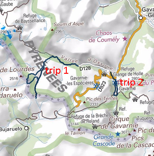
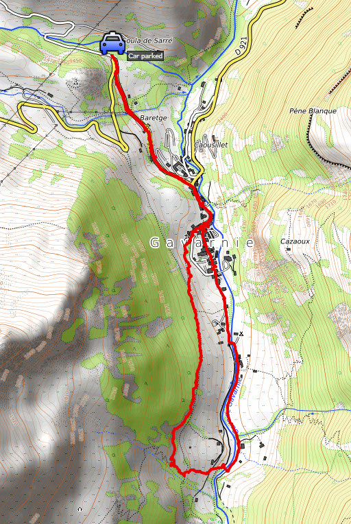
| Trip 1 |
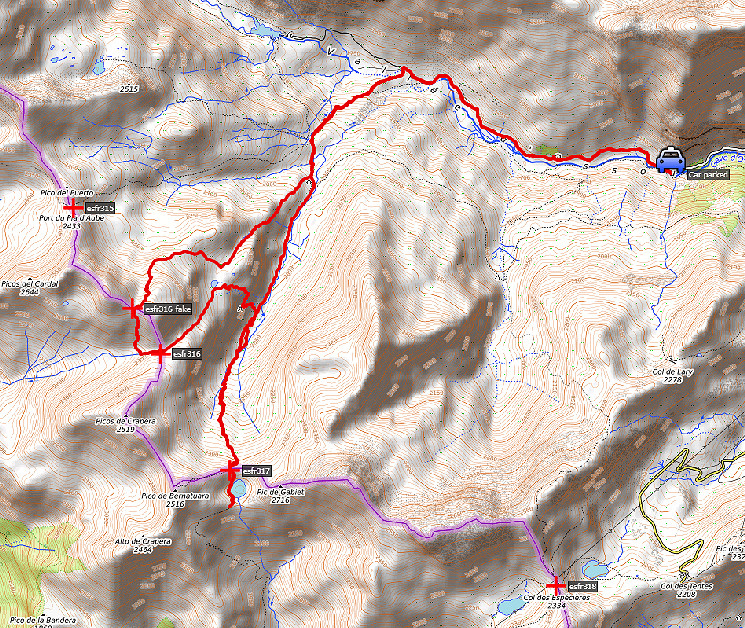
bm316-fake - bm316 - bm317 |
 track-20170803-trip1.kml
(click to open this trip in Google Earth or copy link to Google Maps; click right on this link to download gpx-version). The gps-track has not been manually corrected which explains the inaccuracy and misalignment at some points. For cartographic backgrounds: see the cartography-page |
|
 |
According to Google Earth:
19,5km, max-height 2511m, min-height 1657m, elevation: +1522m -1519m Start 8:06 Finish 15:54 |
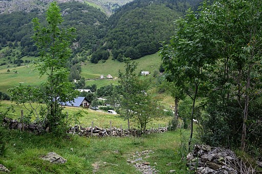
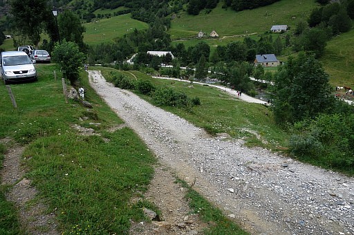
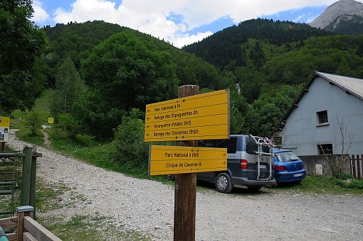
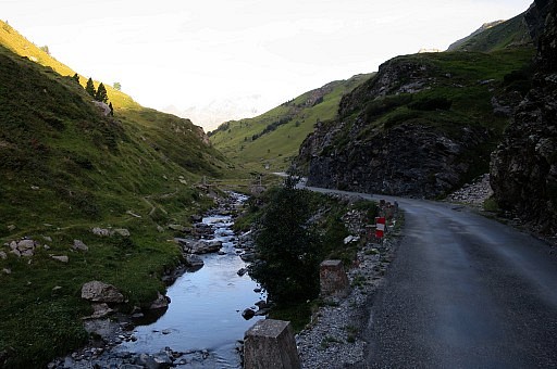 | Early rising in Lourdes and driving to Gavarnie. There I continue along the road towards the Barrage d'Ossoue until the road turns into a dirtroad. |
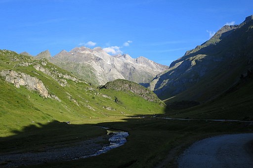 | I walk 3km along the dirtroad with views in the very distance of the Vignemale. |
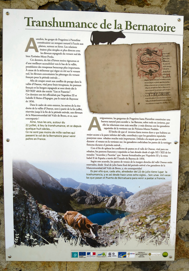 Some information on the
cross-border agreement from the middle ages ("Lies et passeries")
allowing the spanish shepherds to let their flocks graze on the french
side in the second half of the summer. The crossing of the border of
the cattle was via the Col de Bernatoire (bm317).
| |
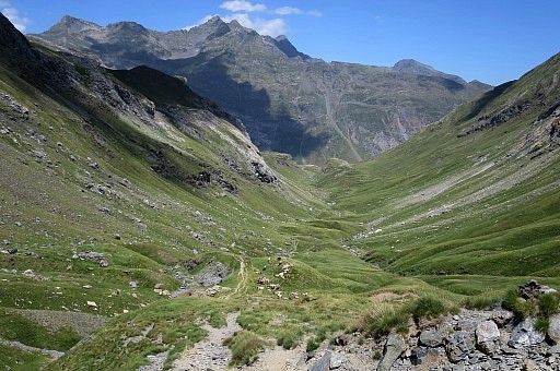
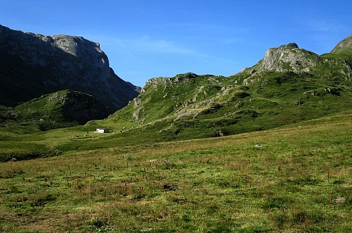 | I leave the dirtroad and climb on a trail to cabane de Lourdes. |
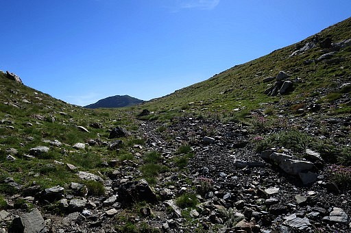
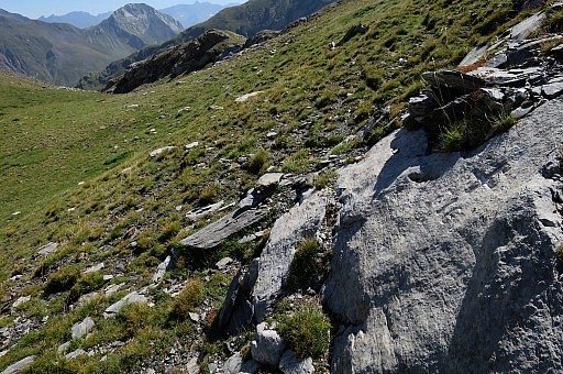
 | From there I leave the trails and climb into the hills in the direction of 316-fake. First along this stream |
 and arriving on this plateau. Now I head to the right to get over the rim
| |
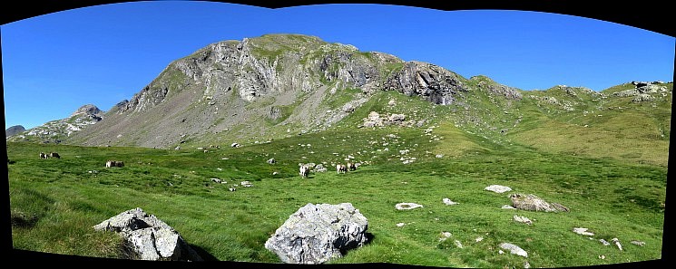
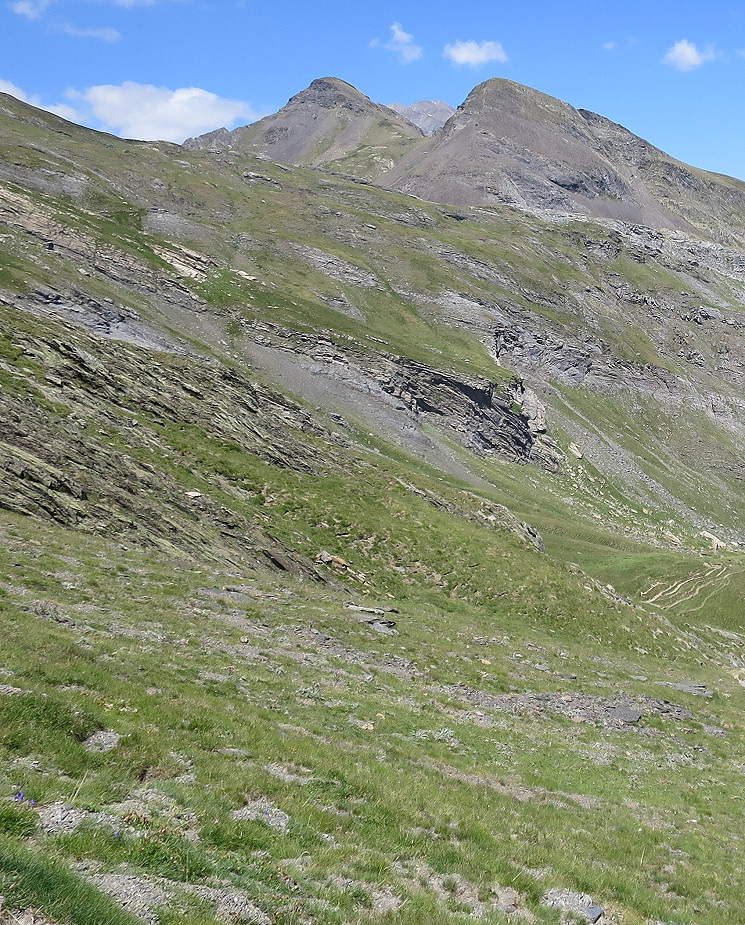
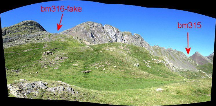 to arrive at a next plateau. The colls of bm315 and 316-fake have come in sight.
| |
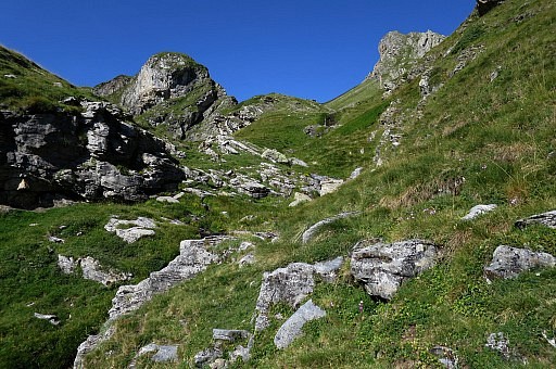
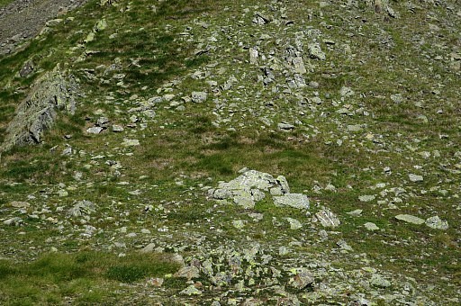
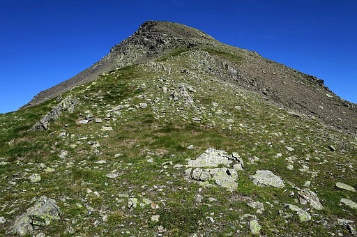
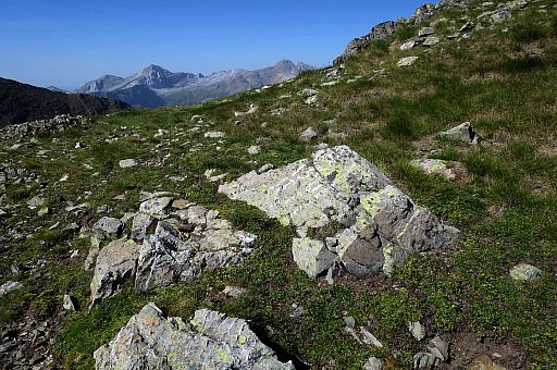
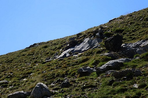
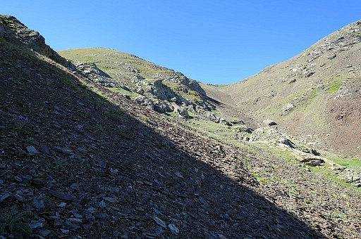 | Continuing to bm316-fake. Now and then cattle tracks help but overall it's trodding over the gras but without getting too steep. Getting on rougher terrain, there's hardly a trail climbing up to Col de Lourdes, neither when you come from the direction of 315. |
 | But in fact I arrive quite smoothly at Col de Lourdes. |
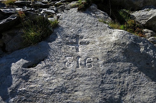
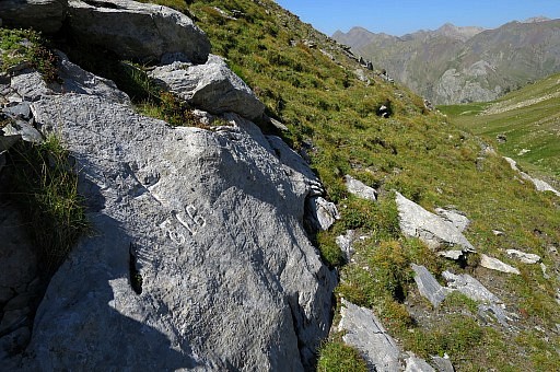
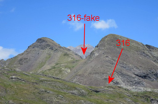
 | with the fake 316. |
 | By the way, you won't find the toponym 'Col de Lourdes' on the maps. |
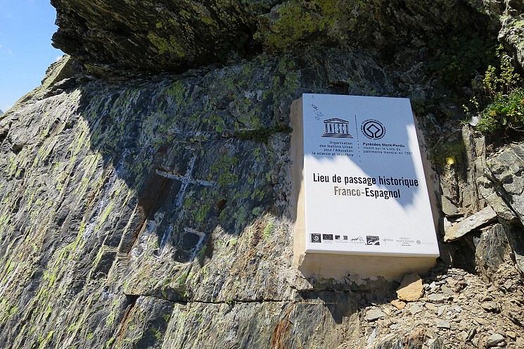
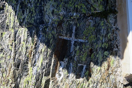
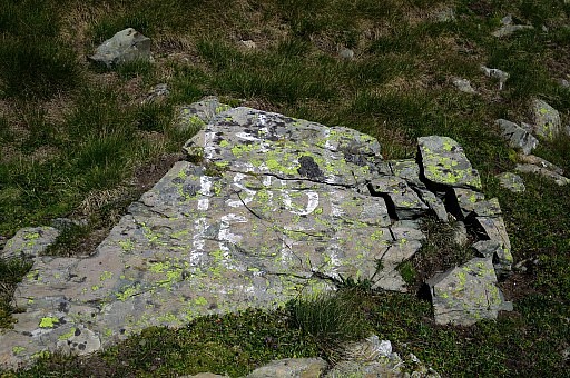 | No engraving, just painting. |
 | The story goes that by duplicating the 316-marker, the Spanish shepherds got themselves another access to the french pastures. Apparently the crossing of the border was limited to certain colls. One wonders if this bordercol is still used for this purpose. But someone still maintains the painting. |
 | |
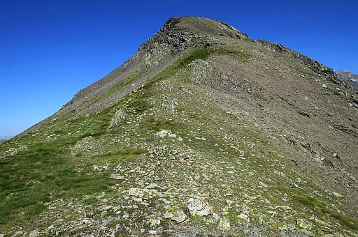
 | The descent towards Col de Cardal with the real 316 is quite steep but manageable. |
 | Zoom-in to Col de Bernatoire (bm317) |
 | Having descended and now traversing to the left to the trail climbing to Col de Cardal |
 | Col de Cardal |
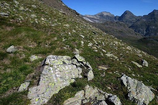
 | Bm316, a bit up the hillside to the right. |
 | Note the "3" in mirror-writing |
 | |
 | |
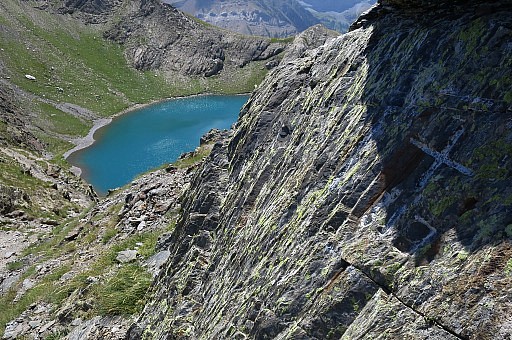
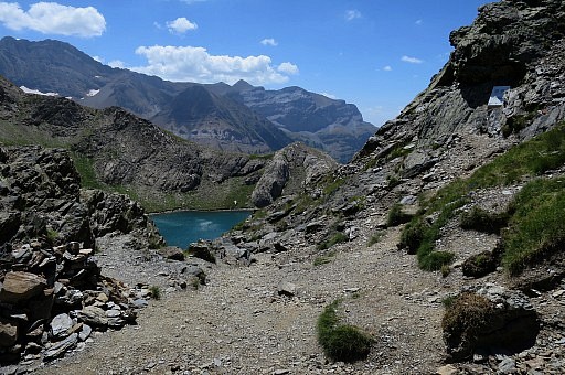
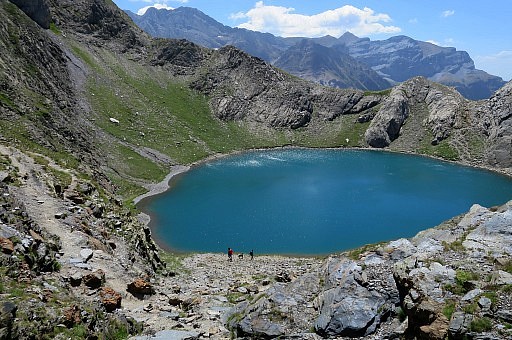
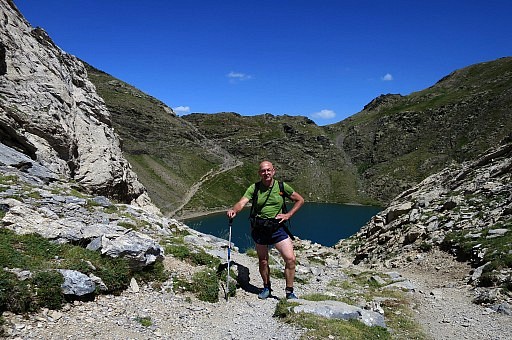
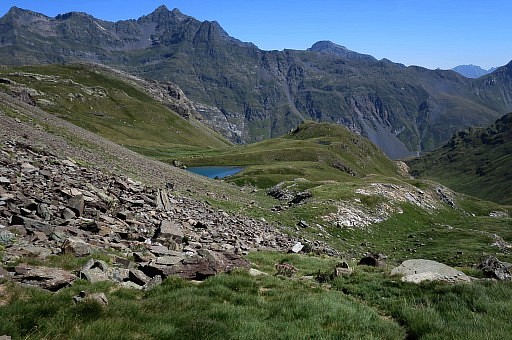 | After 316 descending to the small Lac du Cardal. Bivouac-possibilties enough around that lake. |
 | Descend from the NE-side of the lake along the steep descending stream shifting from one side to another as it suits you. |
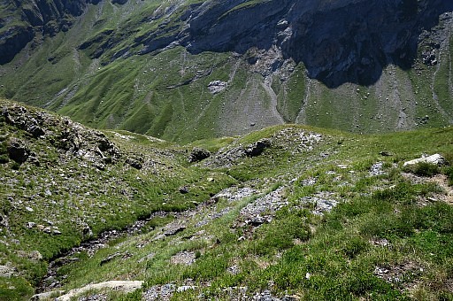
 | Later
on, the hillside gets too steep to proceed along the stream. Then go
the right and find your way to the valley-bottom. This requires a good
view. In case of foggy weather, you could take this alternative: pass the lake and head NNE towards Cabane de Lourdes. From the cabane pick up the trail to Col de la Bernatoire. |
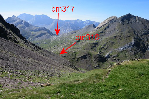
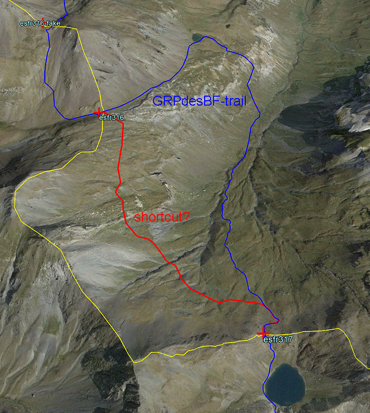 But I wondered several times if a shortcut is possible between bm316 and 317. On this Google Earth-screenprint it seems not a big deal. |
|
 But seen from the other side, it seems a lot steeper. I might just try it. You can download the .kml-file (Google Earth) of the shortcut with this link. |
|
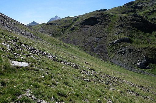
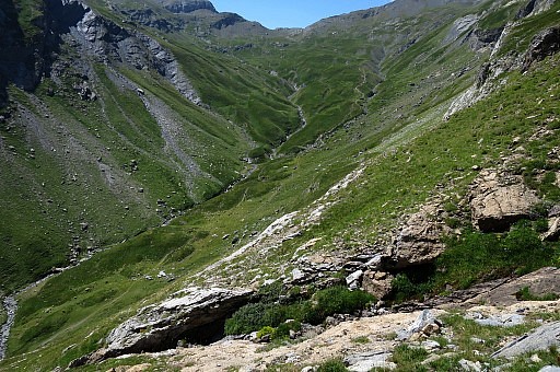
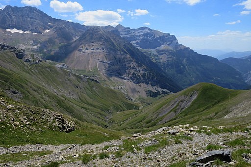
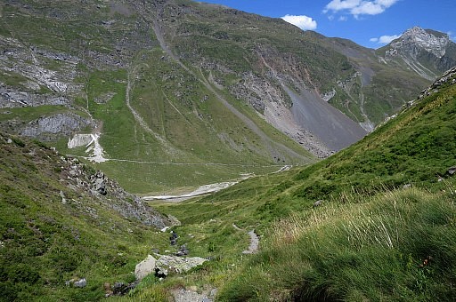
 | I'm
at the bottom of the valley (looking N). From here I climb to Col de la
Bernatoire along the trail which seems a long but easy climb but takes
about 45min and is quite tough. |
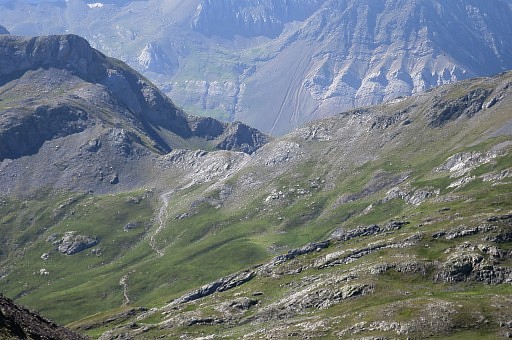
 | I'm getting close to the col and look back in the direction of bm316 and 316-fake. |
 | Zoom-in |
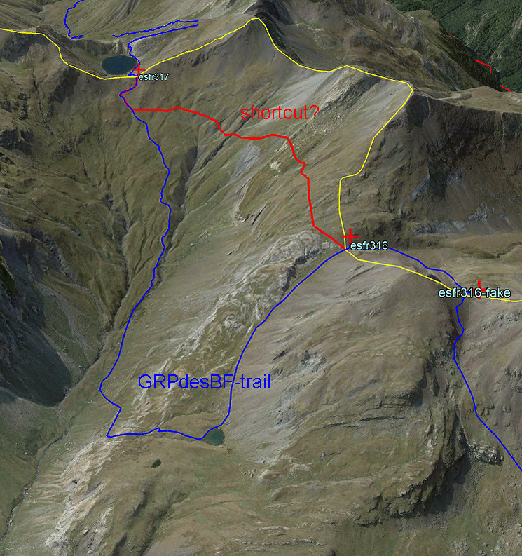
 If we now zoom-in to the area of the shortcut between bm316 and 317, it seems not that steep. |
|
 Another zoom-in. |
|
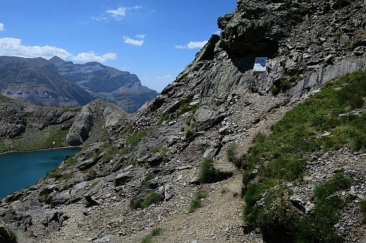 | Having arrived at Col de Bernatoire. The cross 317 is at the first ridge, to the right above the path. |
 | |
 | Lac de Bernatoire in the background |
 | |
 | |
 | I continue to the other side of the lake |
 | to have a glimpse how the trail descends at the other side. |
 | |
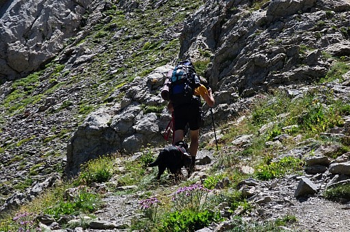 | Mountainwalker with dog which carries its own load. |
 | I return |
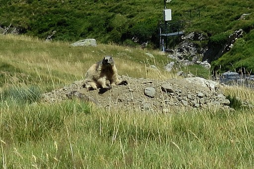 | and spot marmottes. |
 | Back to the dirtroad in the valley and the car. |
| Trip 2 |
|
 |
Trip 2 track-20170803-trip2.kml (click to open this trip in Google Earth or copy link to Google Maps; click right on this link to download gpx-version). According to Basecamp: 6,1km Start 16:11 Finish 17:54 A short reconnaisance how the GRPdesBF - when approaching Gavarnie - can descend directly to the river to the bridge of Pont de Nadau. Well, that's possible. |
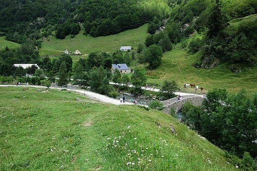
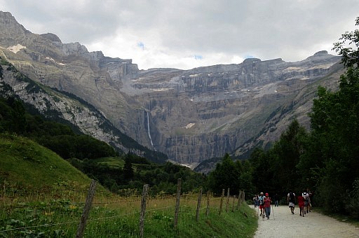
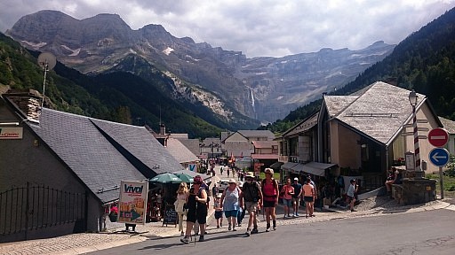 | Nice view of the Cirque de Gavarnie. |
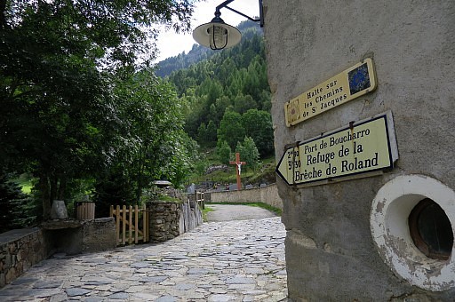 | I take the trail to Port de Boucharo (bm319) |
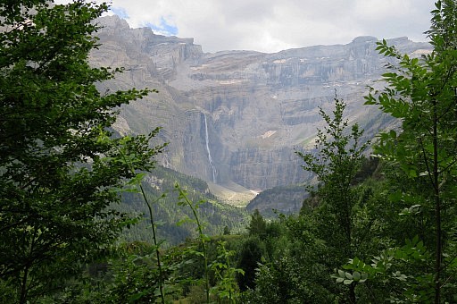 | Another view of the Cirque |
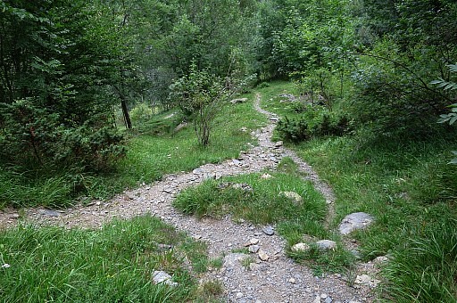
 | When the GRPdesBF - coming from Col de Boucharo - has entered a forest, it zigzags downhill. When the zigzagging is endend and the trail is about to come out of the forest, there is a trail-branch descending to the river. That's here |
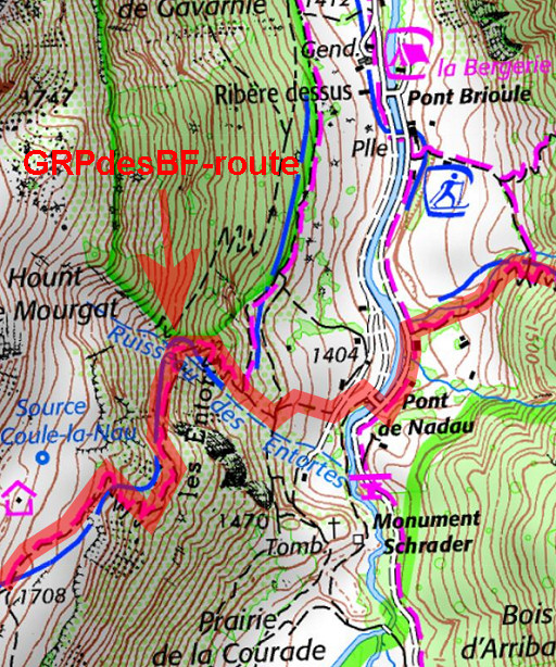 |
Let's show it on the map. |
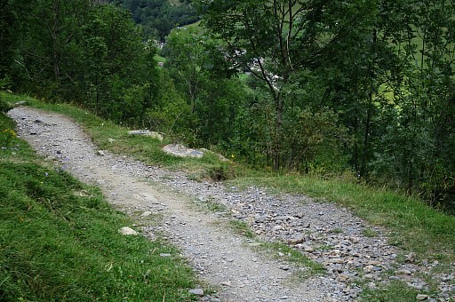 | Close-up of where the trail-branch downhill starts. |
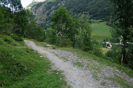
 | The (unmarked) trail downwards, seen from above |
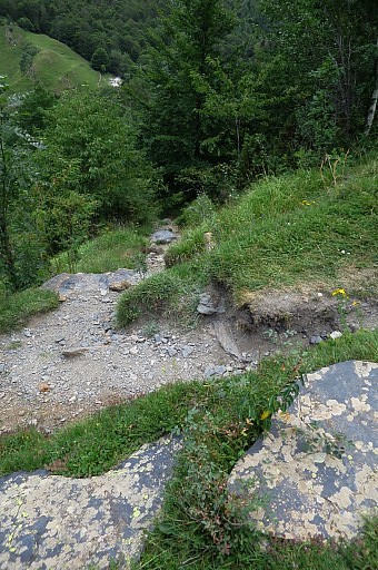
 | Follow it downhill |
 | It arrives at another path pretty soon, go a bit to the left and you can further descend |
 | directly towards the river |
 | and the bridge |
 | On the other side, go 150 meter to the left until a dirtroad branches off on the right side. |
 | That's the trail to Refuge de Espuguettes. |
 | I know enough and walk back to Gavarnie. It is tempting to photograph the Cirque over and over again. |
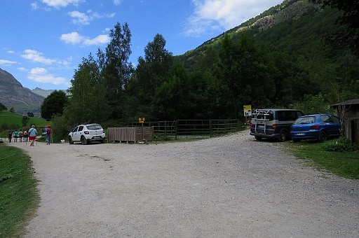
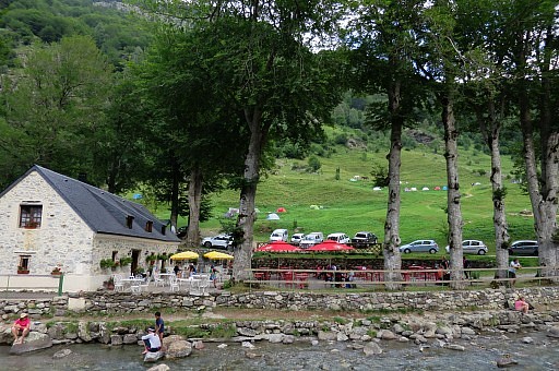 | A bit further on, there's a camping. The next day I will transfer to Err for two Lliva-days. Of course I visit Charles Darrieu in Saint Girons. |