|
The
bordermarkers of the Pyrenees : all my trips
 |
|
| -
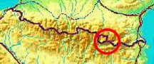
sunday 6 august
2017 - Running around LLivia |
 |
 |
Summary: part of 13 day-trips in
the Pyrenees, covering various
targets from the Basque country up to Llivia. It has been a plan for years: (trail)running around Llivia and visiting all the bordermarkers on the go. Why: for the fun of it and as a challenge. Today was the day and the route I was about to follow was my own GRPdesBF-one: Weather: sunny and warm |
 |
track-20170801.kml
(click to open this trip in Google Earth or copy link to Google Maps; click right on this link to download gpx-version). The gps-track has not been manually corrected which explains the inaccuracy and misalignment at some points. For cartographic backgrounds: see the cartography-page |
|
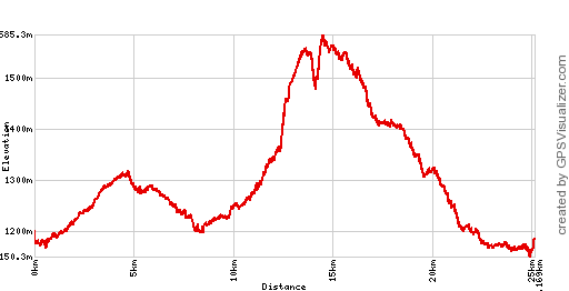
According to Google Earth: 23,4km, max-height 1580m, min-height 1165m,
elevation: +727m -727m. Start 11:23 Finish 16:52 In this year's serie of trips, I used Google Earth's 'height profile' to measure distance and elevation-data of the gps-tracks. The reason was the differences I noticed between different software when trying to establish the distance and elevation of a trip. |
|
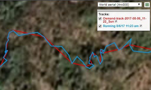 |
In this trip I used two smartphone-apps simultaneously to record my
trip: OsmAnd and Runkeeper. Using the same gps-receiver they produce
different data: OsmAnd says I ran 25,2 km while Runkeeper adds 2,3 km
(27,5 km). That is not surprising because Runkeeper has almost 4 times
more trackpoints which results in a more jagged trackline on the map
where OsmAnd's trackline is more straightened out. |
| We get more differences if we use different sofware to process the gpx
produced either by OsmAnd or Runkeeper. See the results in this pdf.
Especially the elevation by the OsmAnd-app is unexplicable high in some
tracks. All taken in account, the results of Google Earth are the most
modest and consistent. That's why I chose them. By the way: how to get the most reliable results of a trip: redraw the trip in (e.g.) Google Earth and thus eliminate the jags and faults. Then add DEM-data (precise altitudes from a database) to the gpx or kml and let software compute distance, elevation etcetera. |
|
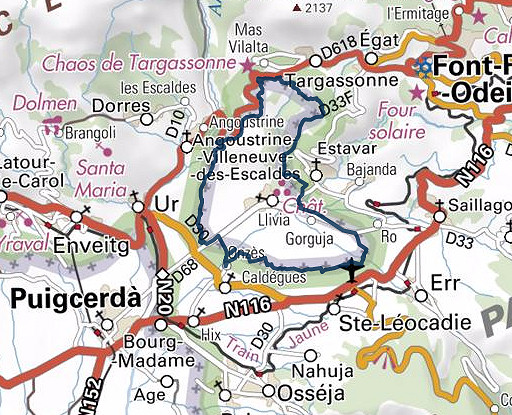
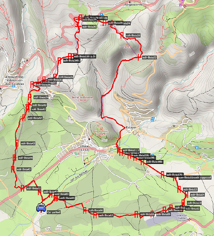 The circuit as actually ran with all the bordermarkers. |
|
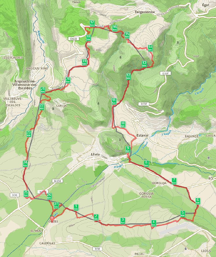 This map comes from the Runkeeper-website which shows a length of 27,5km. Probably it was less. See above.
It took me 5:30h to complete the ± 25km. Many parts were unfit for running: too steep, too rocky or no trail at all. And when I could run, there were regularly interruptions to find the bordermarker, make a picture, to check where to proceed. So the average speed is low but the variation in speed was large. I was quite exhausted when I finished, also very content. I think no one has ever done this before. |
|
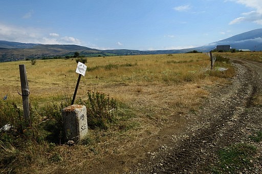
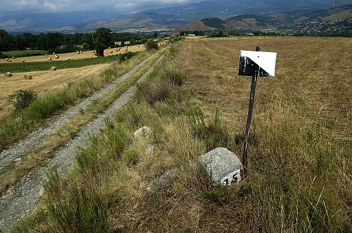
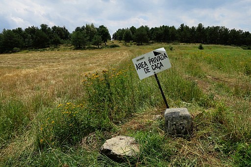
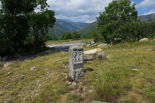
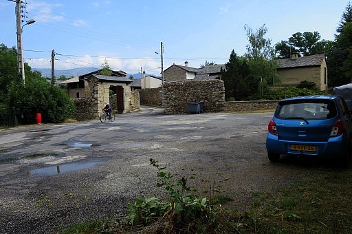 | Start in the hamlet of Onzès, a later start than scheduled because of early morning rain. Perfect place to start but being a ciruit you can start everywhere on the circuit. |
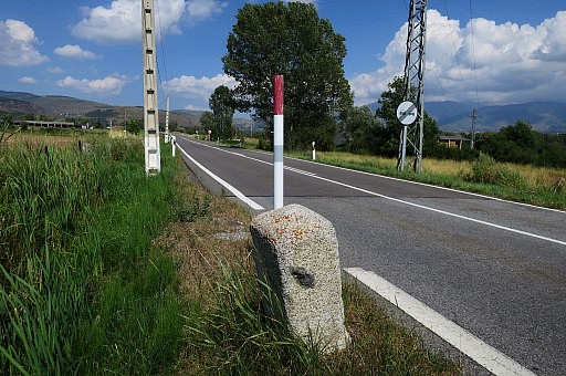
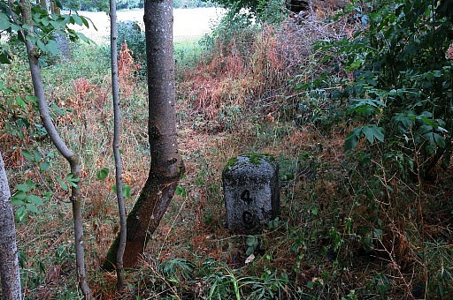 | LL04, the first one |
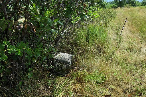
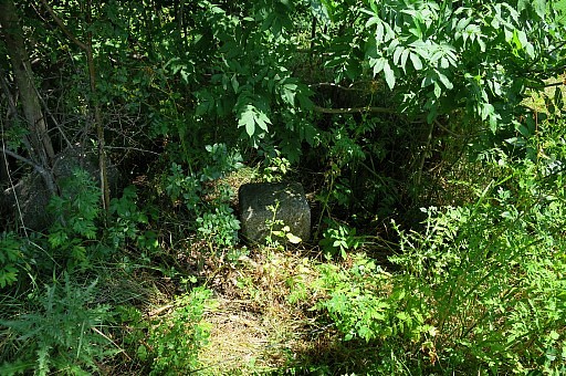
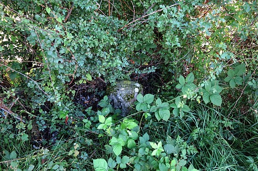
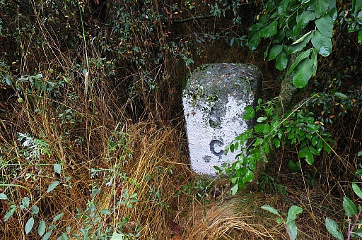 | LL05, hidden in the bush |
 | LL06 |
 | LL07 The gps was very practical to guide me to the next bm-waypoint straight over the fields |
 | LL08 |
 | LL09 |
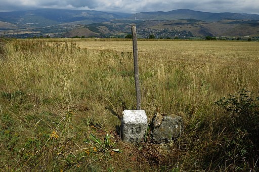 | LL10 A lot of fields were already harvested and easy to cross. |
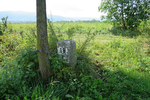
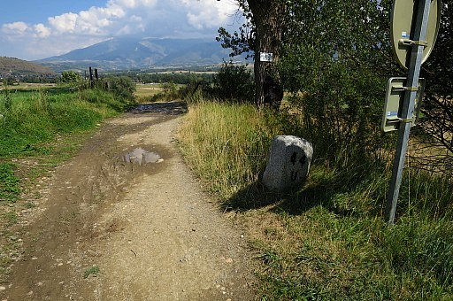
 | LL11 Conclusion: the beginning of august is already a good time to do the circuit. |
 | LL12 More time than expected were 'wasted' by finding bm's, finding the route, tackling fences and being forced to walk because of uneven terrain, steep ascents and descents, long grass en soaky meadows. |
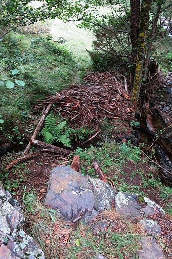
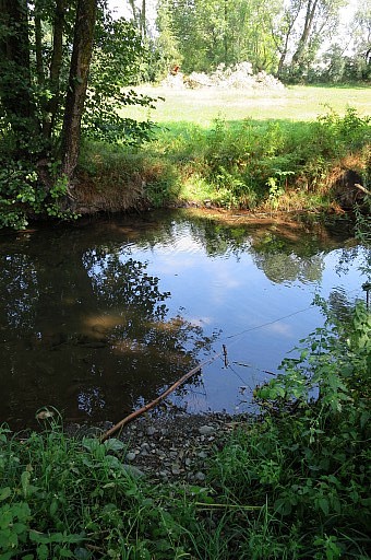 | Crossing the stream between LL12 and 13 by |
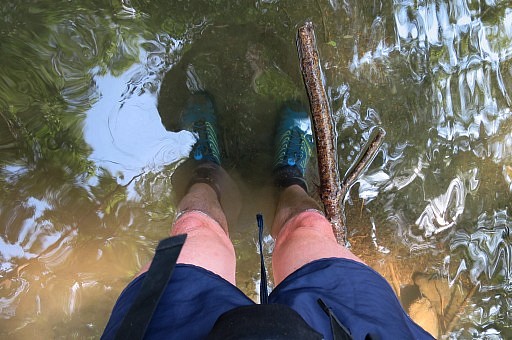 | just walking through it like Mozes - though the water didn't split - and continue. |
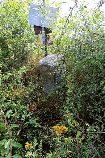
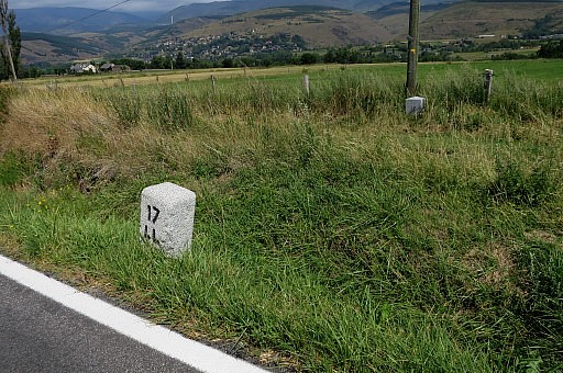
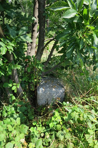
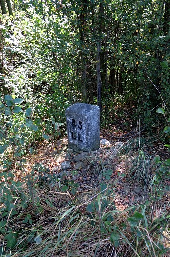
 | LL13 Some bm's still take some time to find |
 | LL14 |
 | LL15 |
 | LL16 |
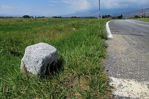
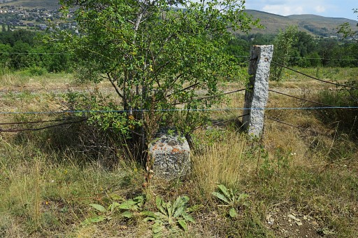
 | LL17, both markers |
 | LL18ll |
 | Ll18fr |
 | LL19ll |
 | LL19fr |
 | LL20ll |
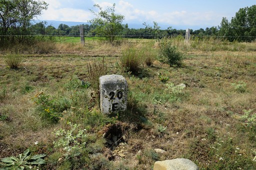 | LL20fr |
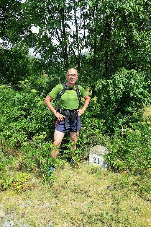
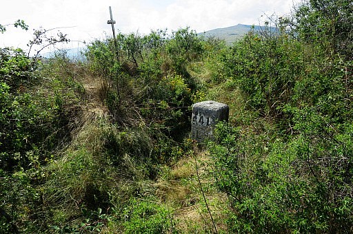
 | LL21 |
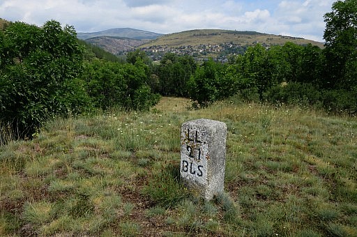
 | Still going strong but the hardest part yet to come |
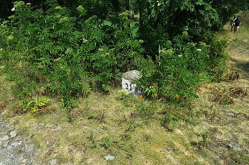
 | LL21.1 |
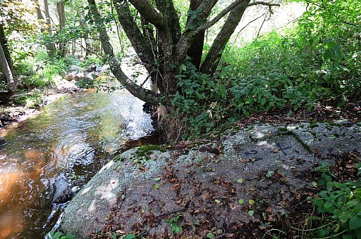
 | LL22 The approach of bm22 along the stream is tougher than when I did it with JW on 20140529 : the trail is vaguer and I had to cross the stream several times |
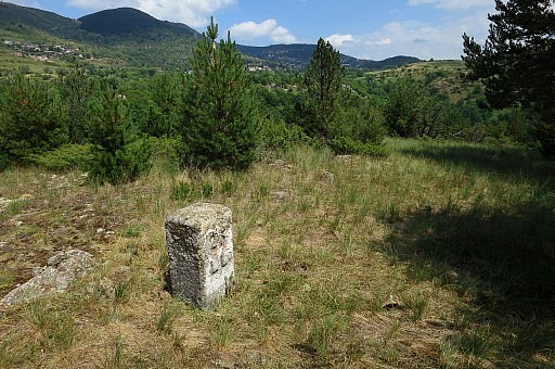
 | A steep climb to the plateau with LL23 |
 | and a steep descent into the valley with LL24 |
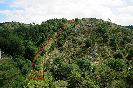 | When looking back - on my climb to LL25 - the descent to LL24 can better be done as showed on the picture |
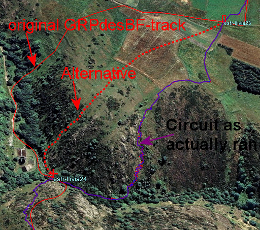 |
Let's show it on the map. |
 | After a steep climb: LL25 |
 | LL26 |
 | LL27 |
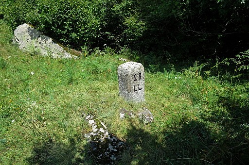 | Ll28 |
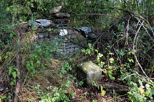
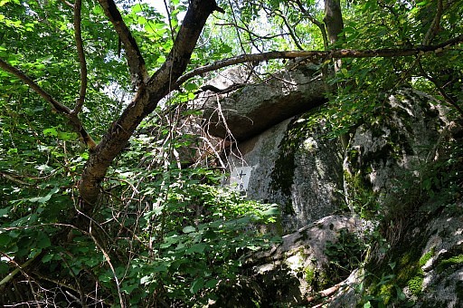
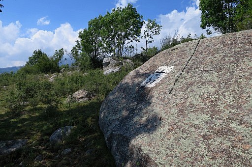
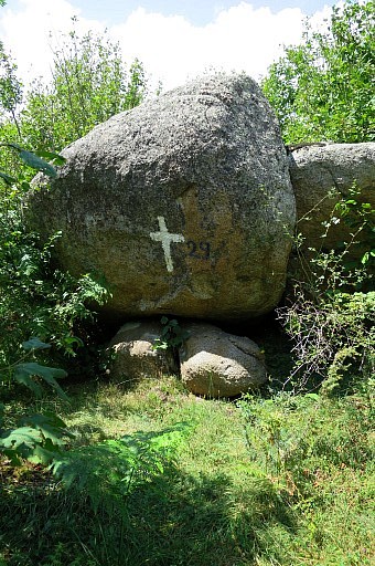 | LL29, the actual engraved cross is on top of it. |
 | LL30 |
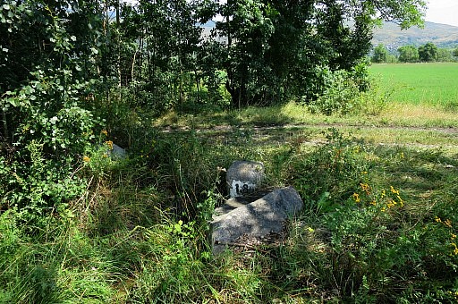
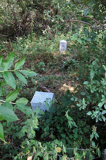 | The trail between 30 and 31 became unclear, perhaps it's better to stay close to the stream LL31, double markers |
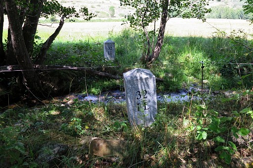 | LL32, double markers |
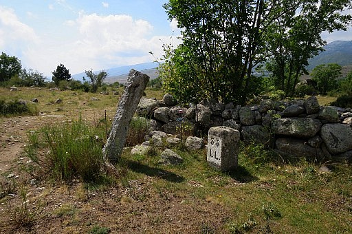
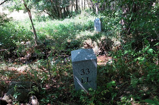 | LL33, double markers |
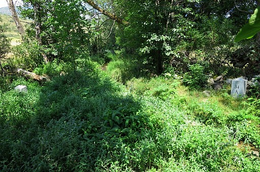 | LL34, double markers |
 | From 34, the gps again used to navigate directly through the terrain to the next bm's: LL35 |
 | LL36 |
 | LL37 |
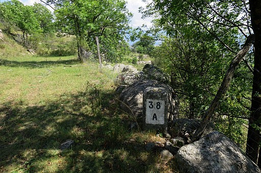 | LL38 |
 | LL39 |
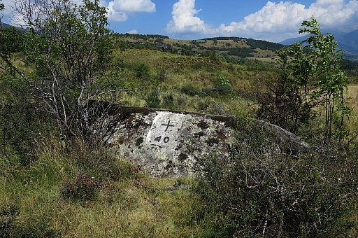 | LL40 |
 | LL41 |
 | LL42 |
 | LL43 |
 | LL44 |
 | LL45 |
 | LL01 |
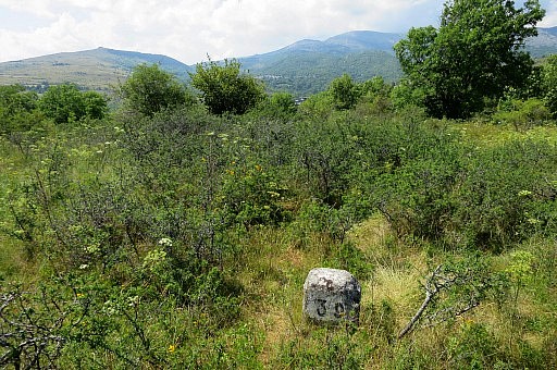
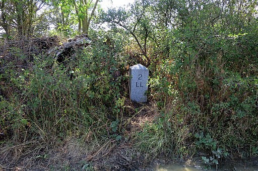 | LL02 |
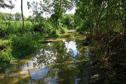 | The last part was wet. This is the dirtroad beyond LL02 |
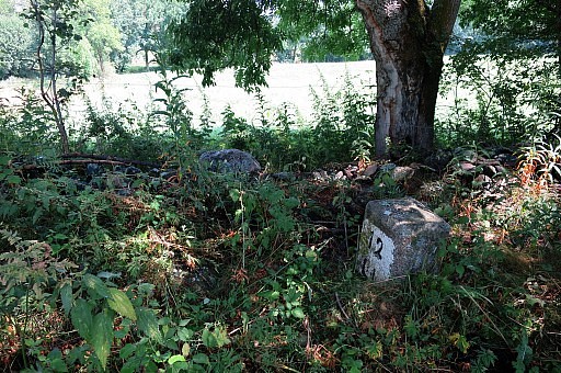
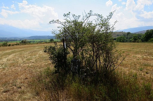
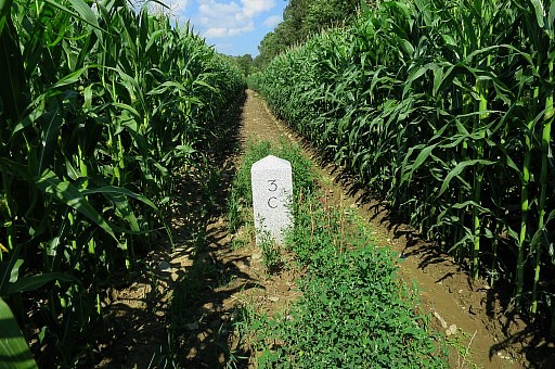 | The last one: LL03 in the middle of a cornfield. Back to the car, finishing the circuit. The next day I will drive back to Holland in two days, with a stop near Taizé with its monastery-like community as a sentimental journey. In my twenties I spent there a week, still remembering their special meditative community-singing. |