|
The
bordermarkers of the Pyrenees : all my trips
 |
|
| -
saturday 5 august
2017 - Meeting Carlos and Conchita |
 |
 |
Summary:
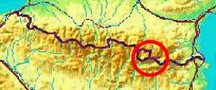
part of 13 day-trips in
the Pyrenees, covering various
targets from the Basque country up to Llivia. Today: four short trips with Carlos and Conchita. This couple from Barcelona has an apartment in the Cerdagne and are devoted mountain-walkers. They have started their survey of the bordermarkers in the Cerdagne and that's how we came in touch. They have their own website. See the links-page Weather: sunny and warm. |
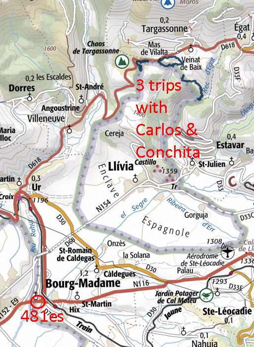
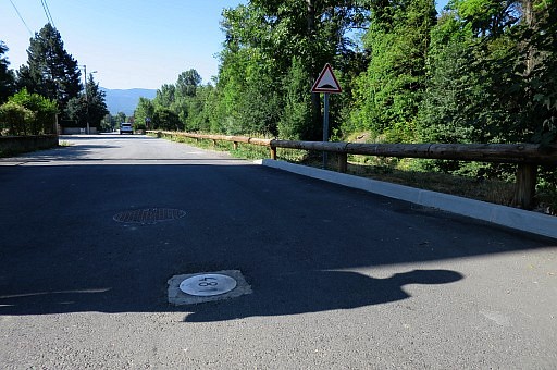
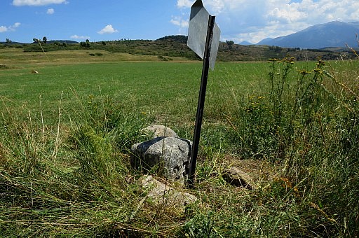
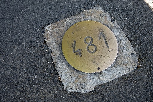 | They pick me up at the camping in Err. I'm pleased to meet live this very friendly couple after a lot of emailing. Our first goal: bm481-fr in Bourg-Madame. An iron plate replacing the original stone pillar which stands now at the customs-office nearby. Reason: the construction or enlargement of the road. |
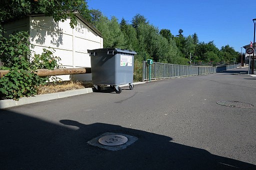 | I have done this marker-plate several times before. After a new tarmac-surface, the plate went underground under a steel cover. But now it has emerged again at the surface. See this page for older pictures. |
 | |
 |
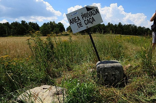
Next target: a few
Llivia-markers which they couldn't find or didn't cover until now. Me
in a role of bordermarker-guide. I sense a new profession. |
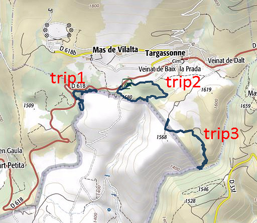
| Trip 1 |
LL-27-30 |
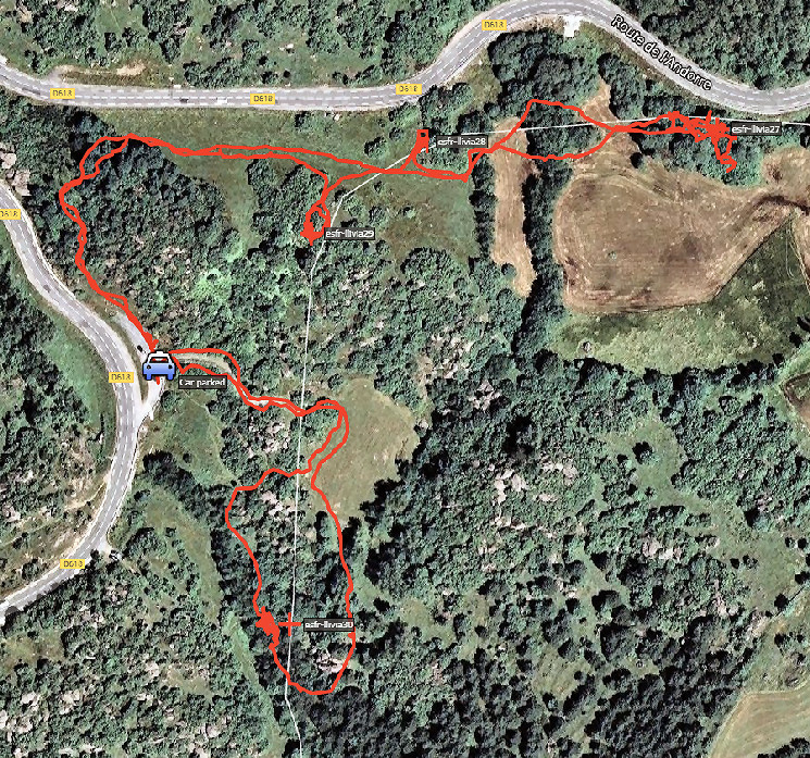 track-20170805-trip1.kml (click to open this trip in Google Earth or copy link to Google Maps; click right on this link to download gpx-version). The gps-track has not been manually corrected which explains the inaccuracy and misalignment at some points. For cartographic backgrounds: see the cartography-page According to Google Earth: 2,0km, max-height 1550m, min-height 1509m, elevation: +96m -96m Start 10:22 Finish 11:42 |
|
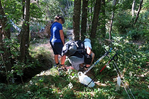 |
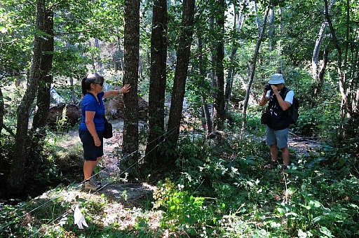
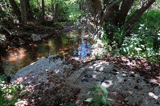
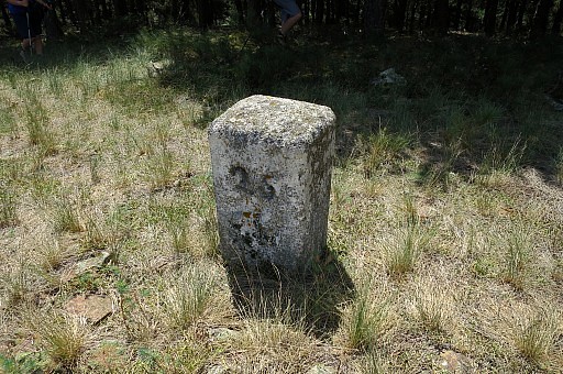
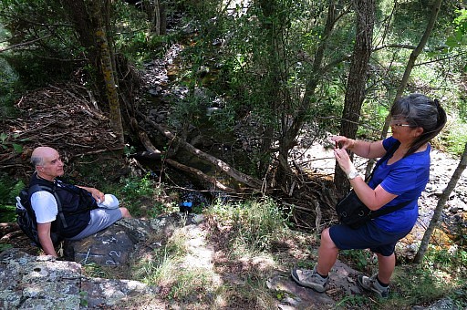
We
start with marker 30 which is indeed hard to find. We rely on the gps
to get nearby and then still it's not obvious where the marker is. However there is a clue: where a small dry streambed merges with a stream (with running water). |
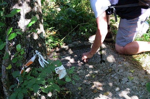 |
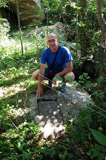
It's on ground-level and easily covered by leaves. |
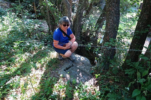 |
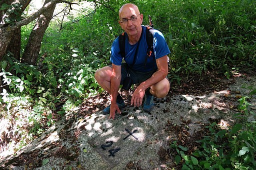
The proof that Conchita was there. |
 |
|
 |
|
 |
|
 |
and me as well. |
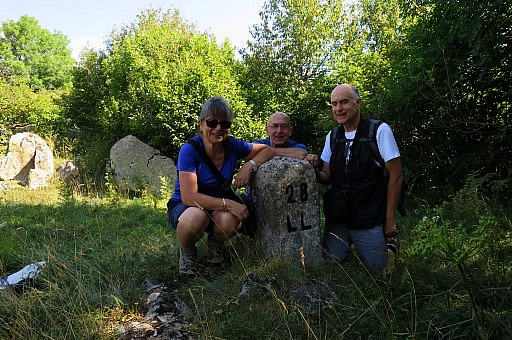 |
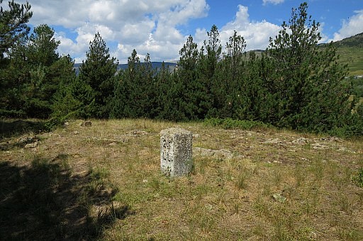
On our way to bm27, we visit bm28 |
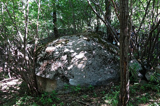 |
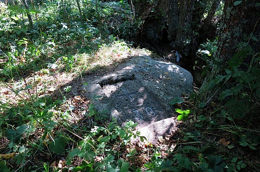
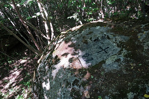
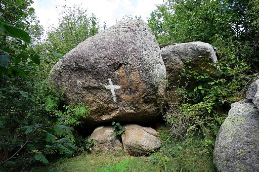
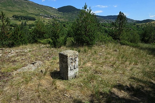
Marker 27 is also a difficult find in a piece of forest with several boulders like this one. |
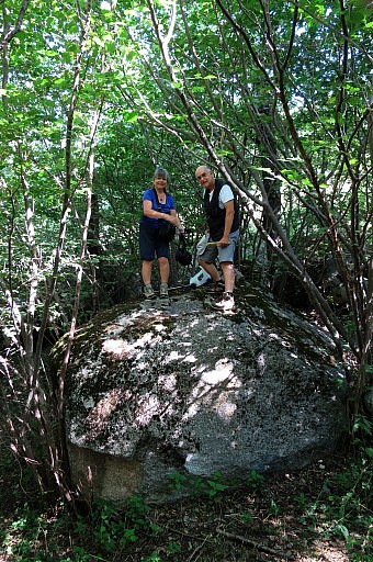 |
The actual cross is on top of it. |
 |
|
 |
|
 |
|
 |
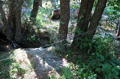
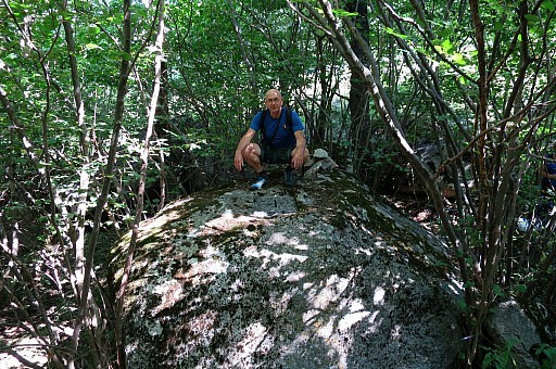
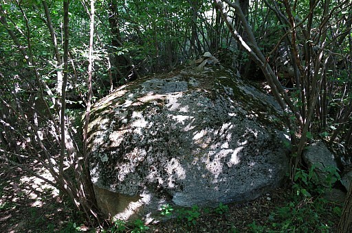
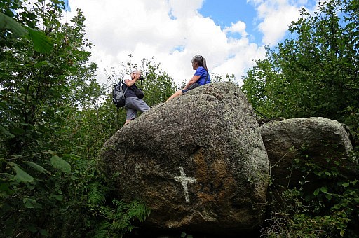
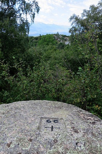
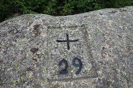
Then returning via bm29 and again |
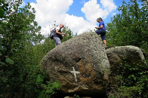 |
the actual cross in on top of it. |
 |
|
 |
|
 |
|
 |
|
| Trip 2 |
LL-24-25 |
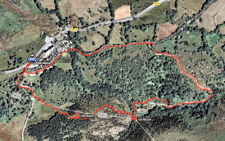 track-20170805-trip2.kml (click to open this trip in Google Earth or copy link to Google Maps; click right on this link to download gpx-version). According to Google Earth: 2,1km, max-height 1581m, min-height 1505m, elevation: +116m -115m Start 11:52 Finish 12:51 |
|
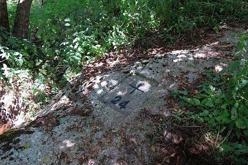 |
A start from camping La Criole and via the sewage-cleaning plant we wrestle through the undergrowth to bm24 |
 |
|
 |
|
 |
A tough climb to bm25 |
 |
|
 |
|
 |
|
| Trip 3 |
LL-22-23 |
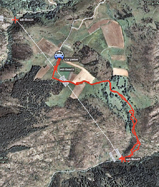 |
Trip 3 track-20170805-trip3.kml (click to open this trip in Google Earth or copy link to Google Maps; click right on this link to download gpx-version). |
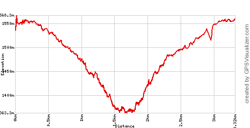 |
According to Google Earth:
3,1km, max-height 1558m, min-height 1373m, elevation: +254m -255m Start 13:03 Finish 14:37 |
 |
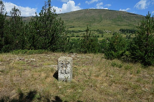
The hardest trip. We can drive close to bm23 |
 |
|
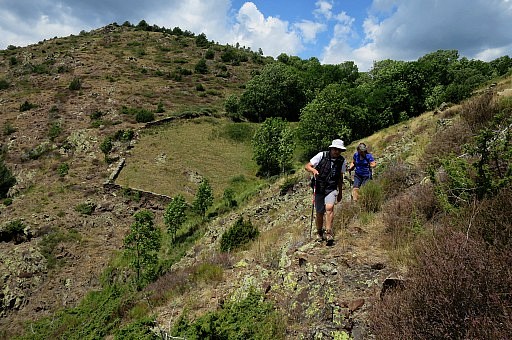 |
and then descend towards bm22, first through meadows and then down a rocky hillside. |
 |
Having arrived at bm22 |
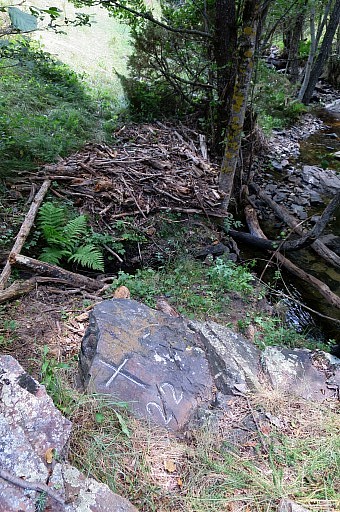 |
|
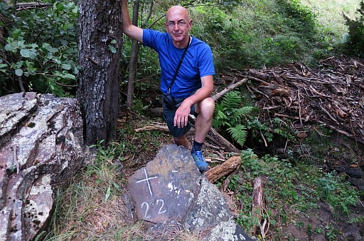 |
|
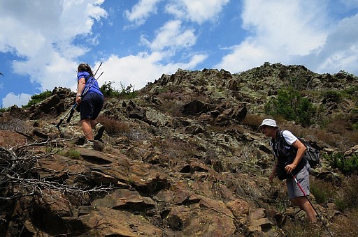 |
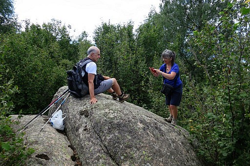
The climb back is tough. Enough for today, Carlos and Conchita have completed their survey of the Llivia-borders. They invite me for dinner in their apartment and we chat nicely about a lot of things. |
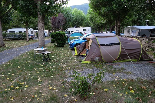 |
Back at the camping in Err, very content with the meeting with Carlos and Conchita. |