|
The
bordermarkers of the Pyrenees : all my trips
 |
|
| -
wednesday 22 august
2018 - Return to the car and civilisation |
 |
 |
Summary:
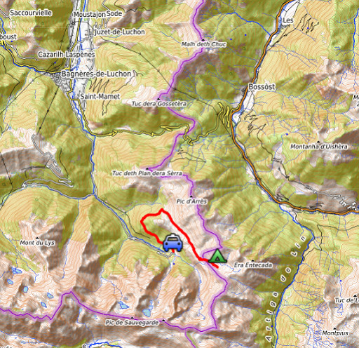
one of 8 solo daytrips in
the Pyrenees, in the area of Haute-Garonne near Bagnères-de-Luchon, in
order to redo the bordermarker-range no. 331 to 417. Today: returning to Hospice de France while checking the trail/route to Col de Barèges Weather: splendid |
 track-20180822.kml
(click to open this trip in Google Earth or copy link to Google Maps; click right on this link to download gpx-version). The gps-track has not been manually corrected which explains the inaccuracy and misalignment at some points. For cartographic backgrounds: see the cartography-page Gps-waypoints of all bordermarkers (most recent version): kml: esfr-bordermarkers-all-waypoints.kml gpx: esfr-bordermarkers-all-waypoints.gpx |
|
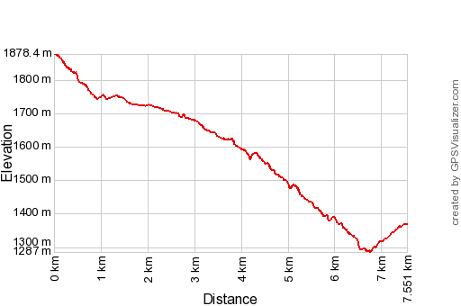 |
According to Garmin
Basecamp: Distance: 7,6 km Max-height: 1878m Min-height: 1287m Elevation: +220m -730m Total elevation: 950m Start 9:32 Finish 11:51 Total time: 2:19 |
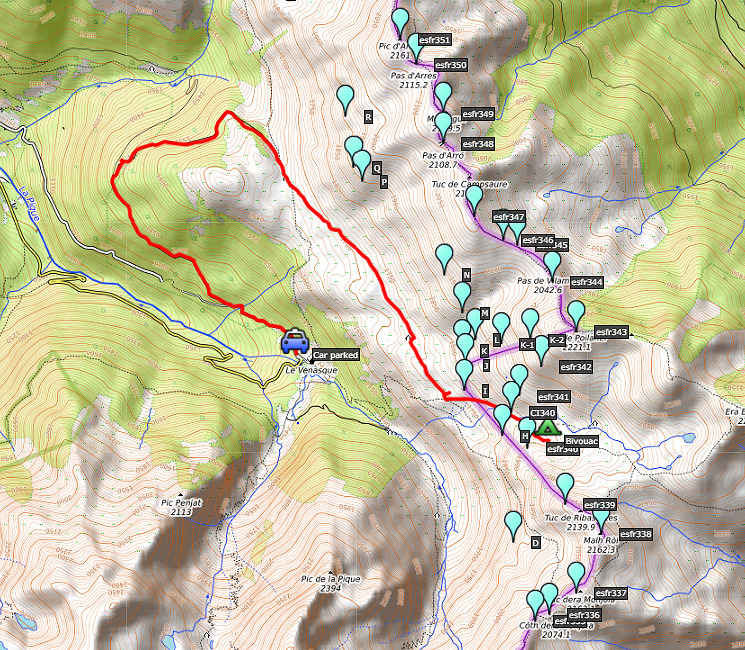
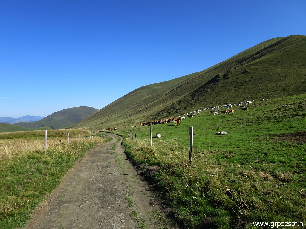
 | From
my bivouac in the valley of Roumingou, I descend to the dirtroad which
will bring me along Cabane de Roumingou and Cabane de Campsaure. click photo to enlarge |
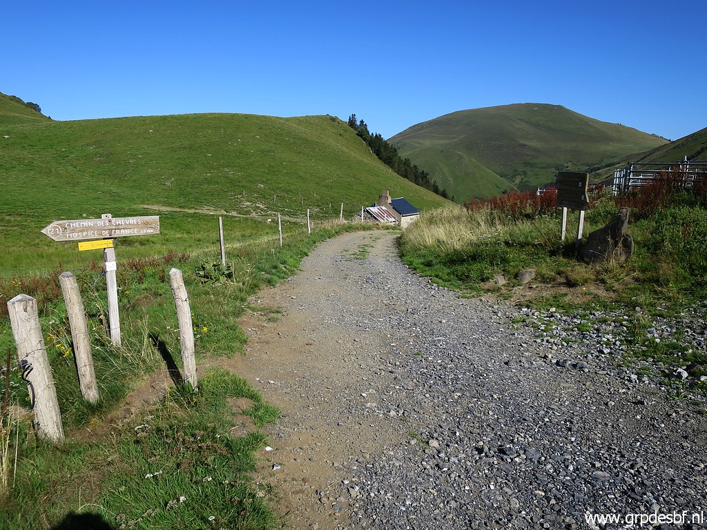
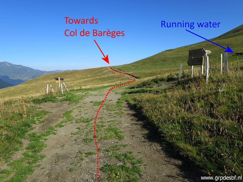 | This picture: taken ± 25m to the south showing the crossing of - to the right: dirtroad to the valley of Roumingou - to the left: a trail to Hospice de Franc - straight on: dirtroad towards Cabane de Roumingou and Cabane de Campsaure connecting with a trail climbing to Col de Barèges. click photo to enlarge |
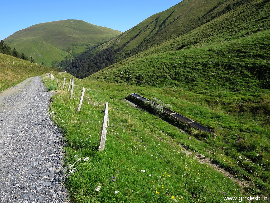
 | Useful information: running water available close to the crossing click photo to enlarge |
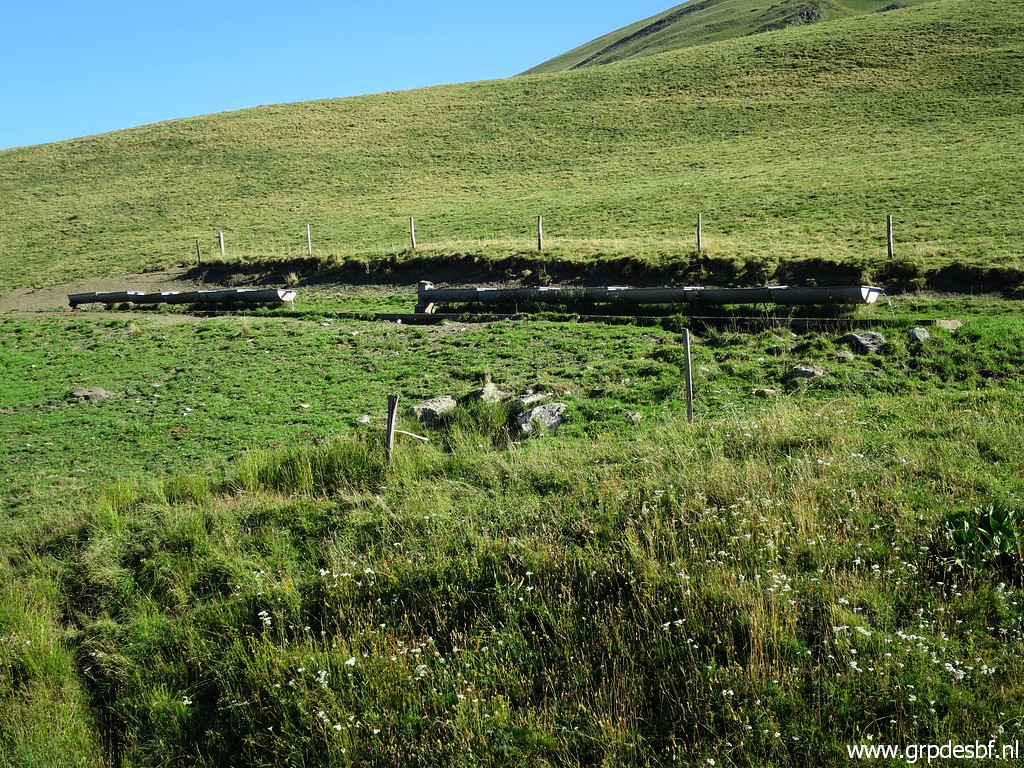 | at this click photo to enlarge |
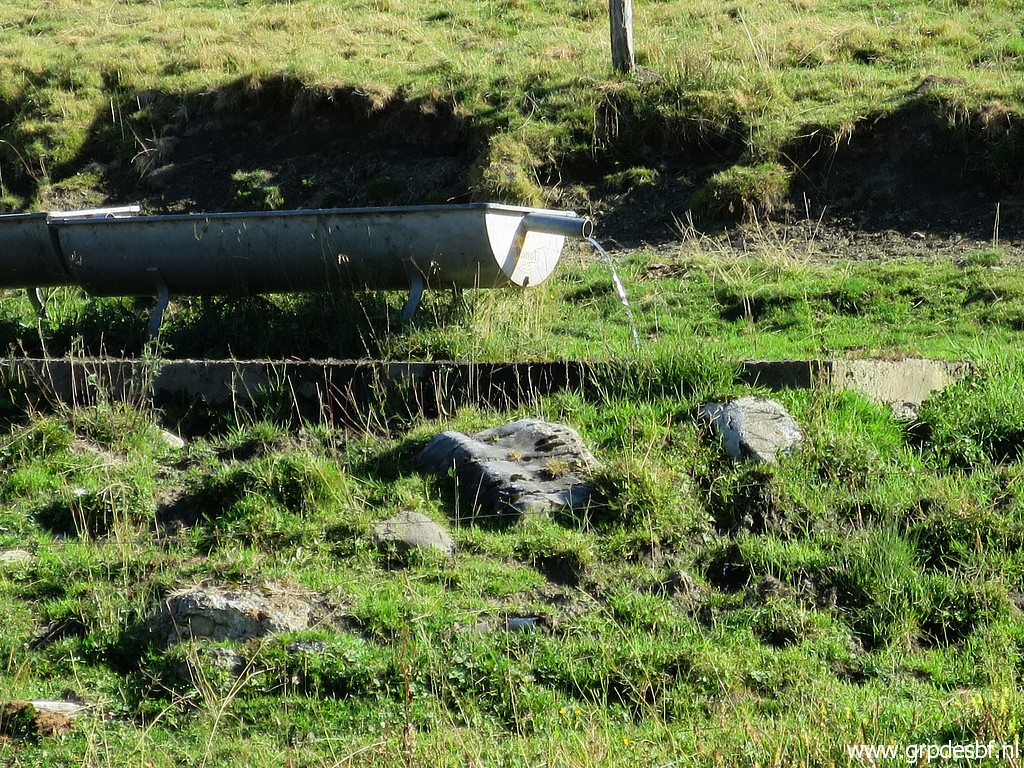 | cattle water trough click photo to enlarge |
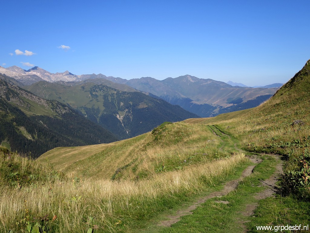
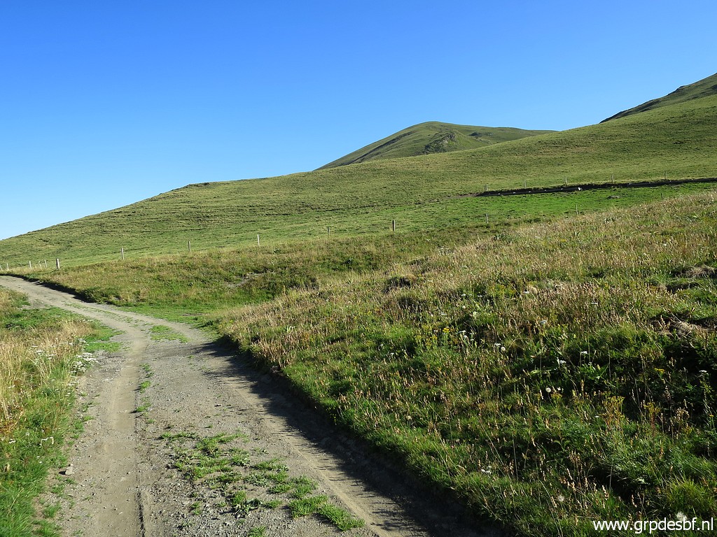
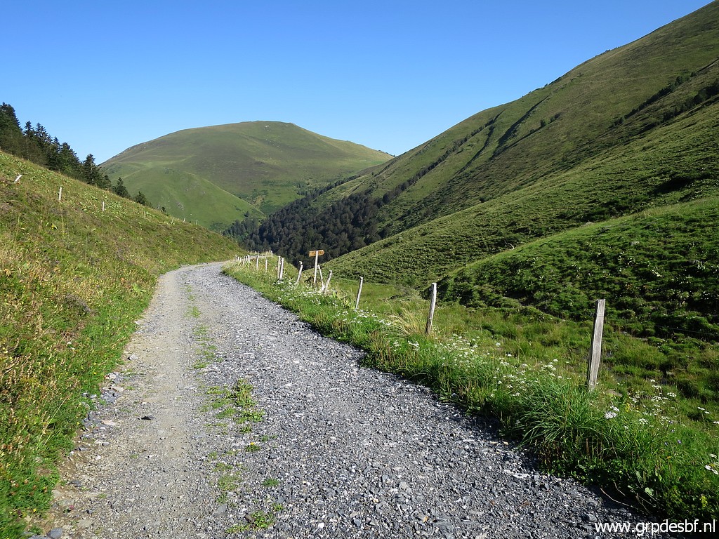
 | I continue quietly and easily along the dirtroad click photo to enlarge |
 | to arrive close to Cabane de Campsaure click photo to enlarge |
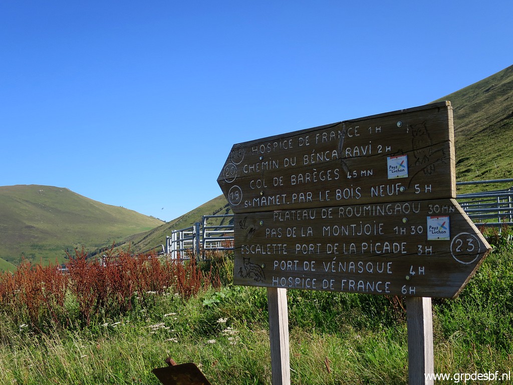 | with this information panel wich states that click photo to enlarge |
 | Col de Barèges is a 45 minutes walk from there. click photo to enlarge |
 | Another water source when needed. click photo to enlarge |
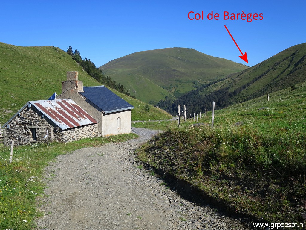
 | And this is where click photo to enlarge |
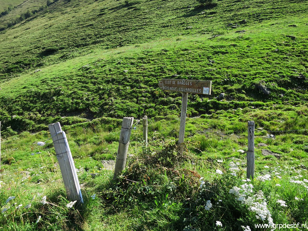 | the trail to Col de Barèges starts. And that's what I wanted to know. click photo to enlarge |
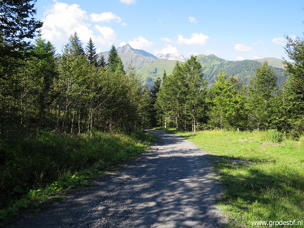 | I
continue on the dirtroad which bends to the south and descends to
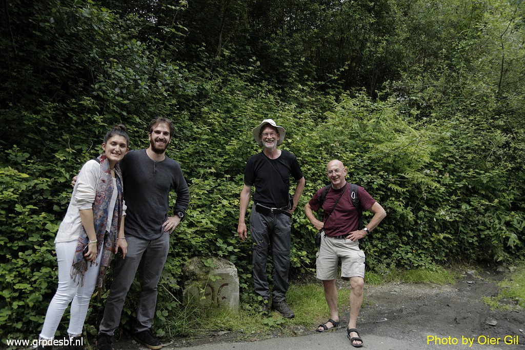
Hospice de France. I meet a nice Indonesian-German couple with the man
interested in mountain spirits. click photo to enlarge |
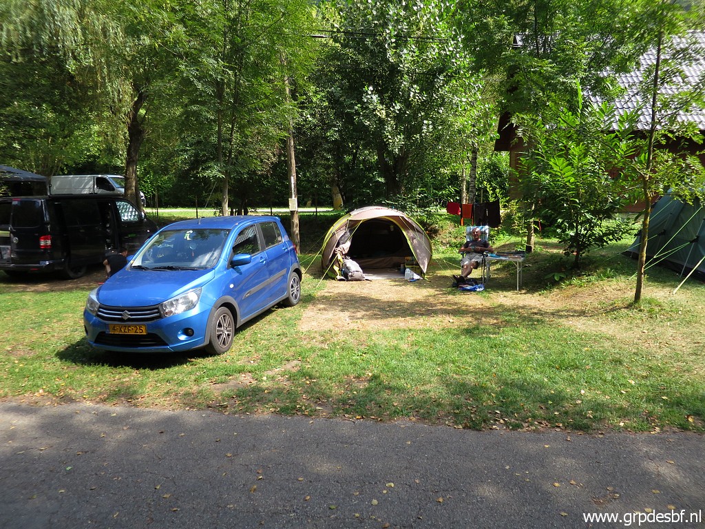 | I'm
content and drive to my favourite camping in the region: camping
Espalias in Bossòst: intimate, laid down, with a swimming pool and two
modest and nice owners click photo to enlarge |