|
The
bordermarkers of the Pyrenees : all my trips
 |
|
| -
tuesday 21 august
2018 - Redoing bm356-358 + exploring the rest of the 'bornes de paçage' |
 |
 |
Summary:
one of 8 solo daytrips in
the Pyrenees, in the area of Haute-Garonne near Bagnères-de-Luchon, in
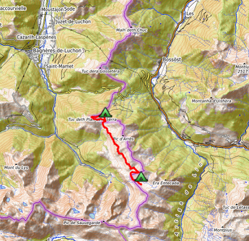
order to redo the bordermarker-range no. 331 to 417. Today: after redoing bm356-358 concentrating on the rest of the 'bornes de paçage' and returning to the valley of Roumingou for the last bivouac. Weather: splendid |
 track-20180821.kml
(click to open this trip in Google Earth or copy link to Google Maps; click right on this link to download gpx-version). The gps-track has not been manually corrected which explains the inaccuracy and misalignment at some points. For cartographic backgrounds: see the cartography-page Gps-waypoints of all bordermarkers (most recent version): kml: esfr-bordermarkers-all-waypoints.kml gpx: esfr-bordermarkers-all-waypoints.gpx |
|
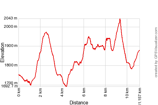 |
According to Garmin
Basecamp: Distance: 11,2 km Max-height: 2043m Min-height: 1693m Elevation: +1127m -1003m Total elevation: 2130m Start 9:05 Finish 17:42 Total time: 8:37 |
 |
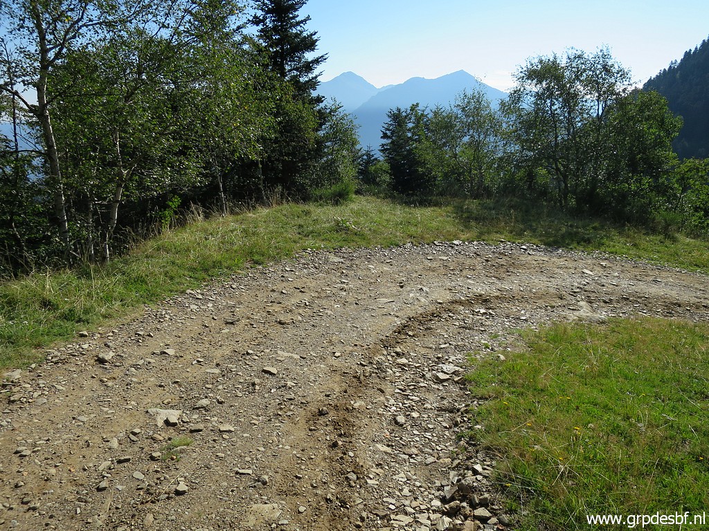
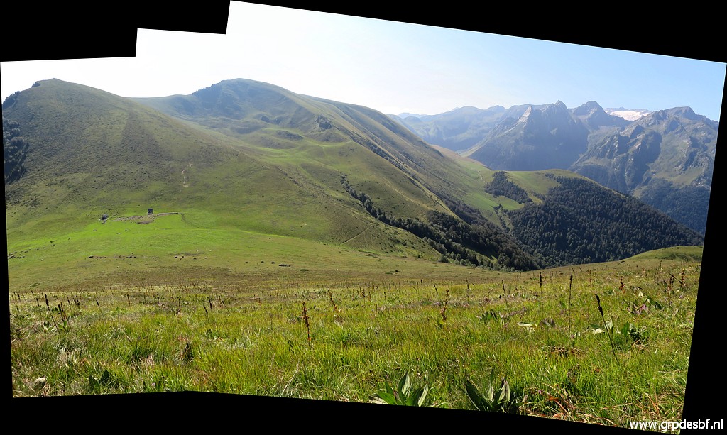
The morning air is fresh and clear. click photo to enlarge |
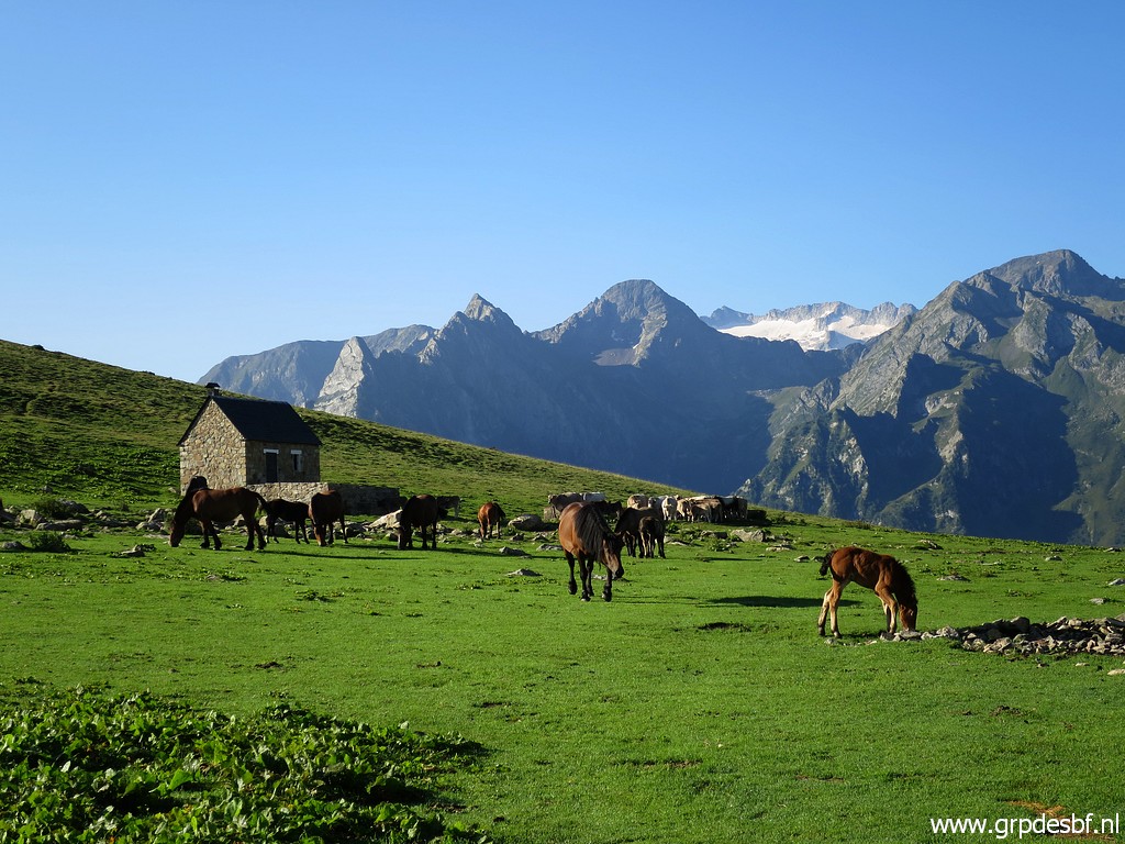 |
View of the cabane on the Col de Barèges. The glacier in the distance belongs to the Maladeta-massive. click photo to enlarge |
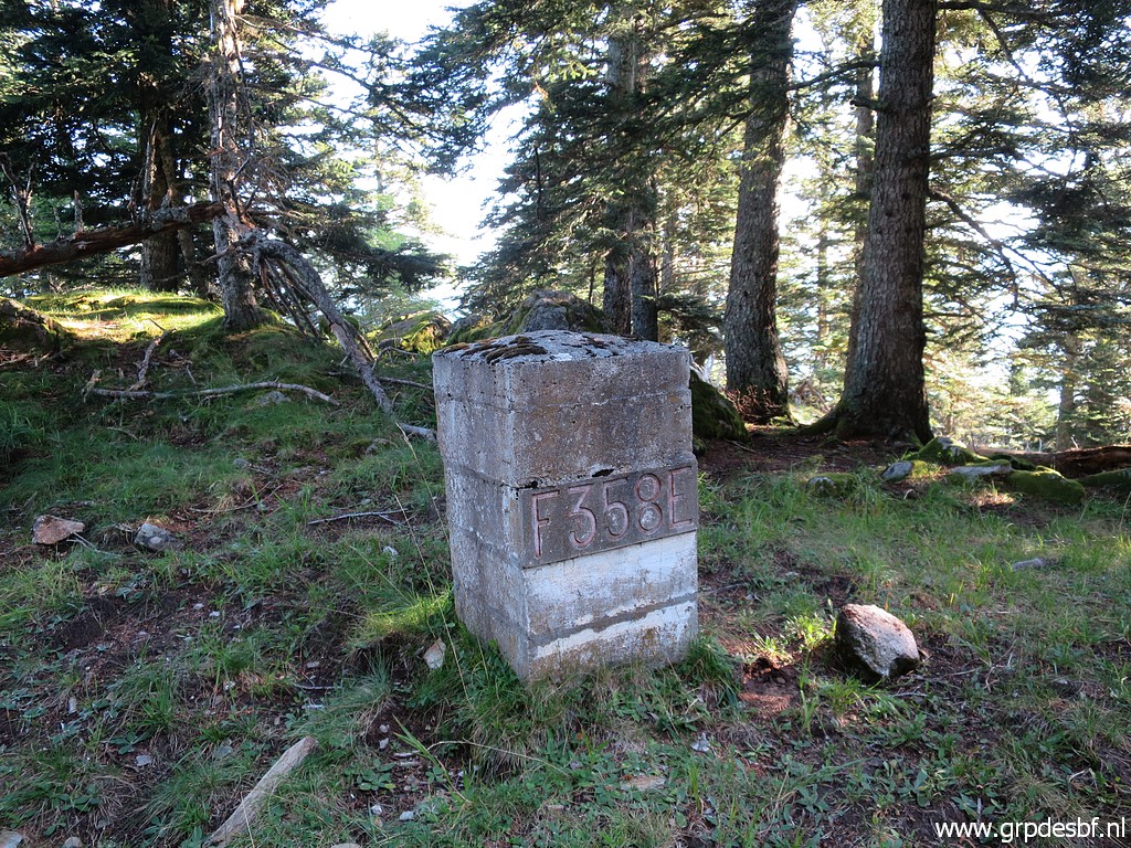 |
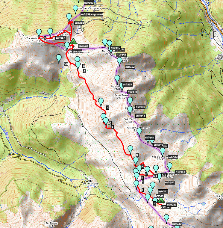
I first head to bm358, already visited several times in the past years. I leave my tent to dry at the Col. I check the surface around this bm (reinstalled in the 1950-ies) to see if there is any trace of a former bm. Border-commissioner Jean Sermet claimed that they were still present at that time, proving that this was the original spot of the old bm358. click photo to enlarge |
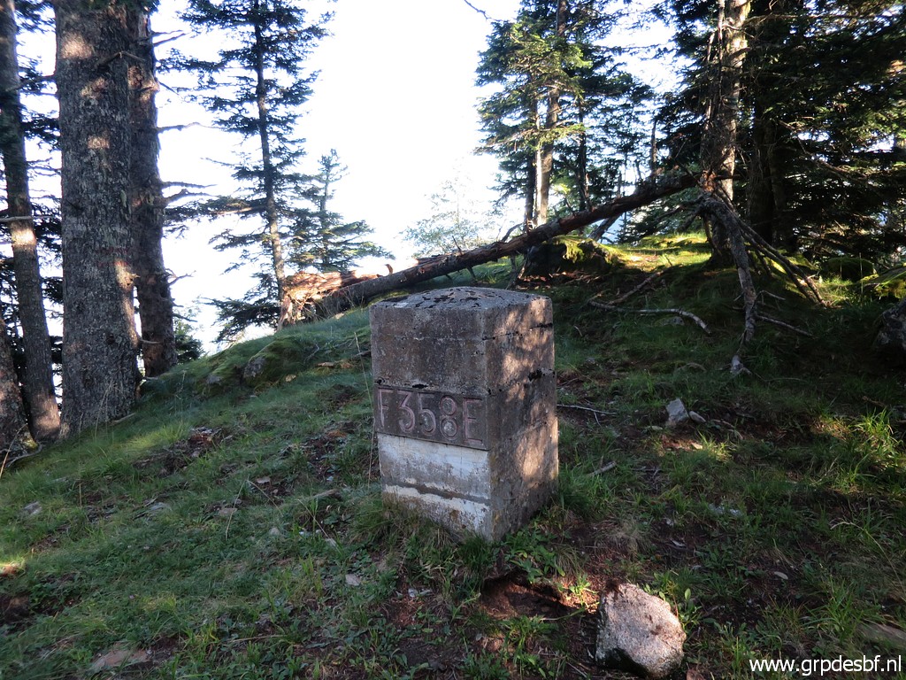 |
I have presented a theory that the bordermarkers bm357 & 358 were reinstalled at the wrong places on this page (see Theory 2) and more concisely on this weblog-page. Finding any traces of the former bm at this spot would falsify my theory. But I find no traces which is however no proof that were not present in the 1950-ies. click photo to enlarge |
 |
About
20m to the NE is the edge of this ridge, beyond it is a steep wooded
hillside where the borderline descends in a straight line. In the
middle of that descent is a cross on a large boulder. That's where Jean
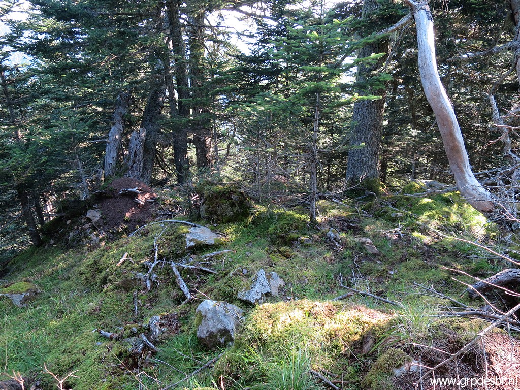
Sermet presumed that the bordercross 359 was engraved. But part of my theory was that the bordercross bm359 was engraved on a rock on this edge. I have searched here before - with Jan-Willem Doomen - on 5 july 2015. click photo to enlarge |
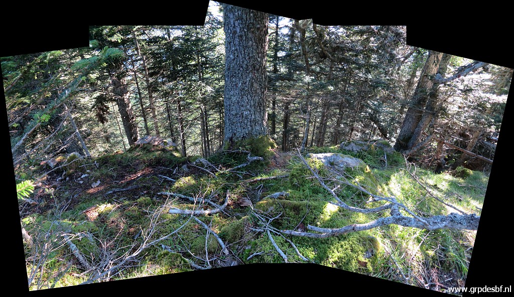 |
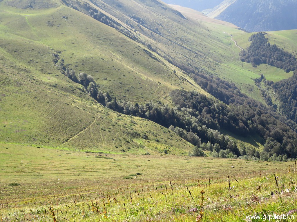
This panorama shows the edge with its steep descent beyond better. I cannot find any trace of a bordercross. click photo to enlarge |
 |
Also at this edge, where the mountain road makes a sharp bend, no traces. click photo to enlarge |
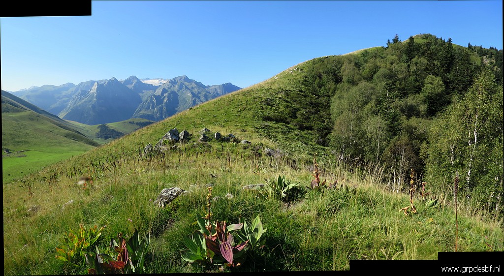 |
I return and climb to the borderridge click photo to enlarge |
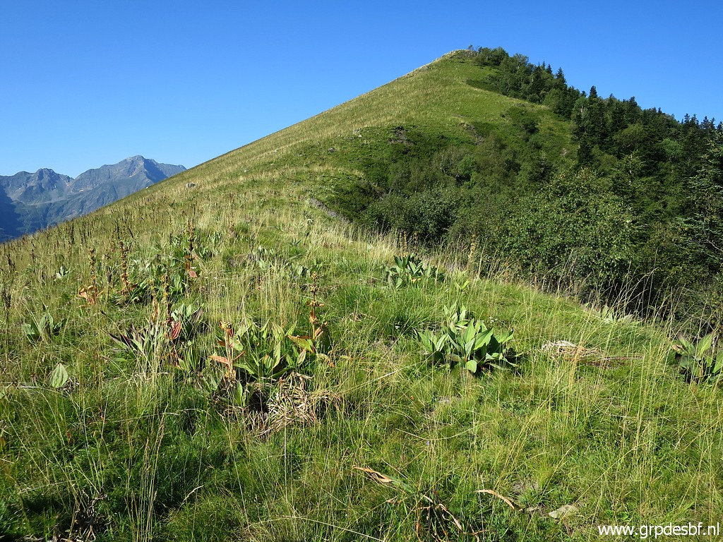 |
to continue towards the summit of Tuc deth Plan dera Sèrra click photo to enlarge |
 |
with bm357 in between. click photo to enlarge |
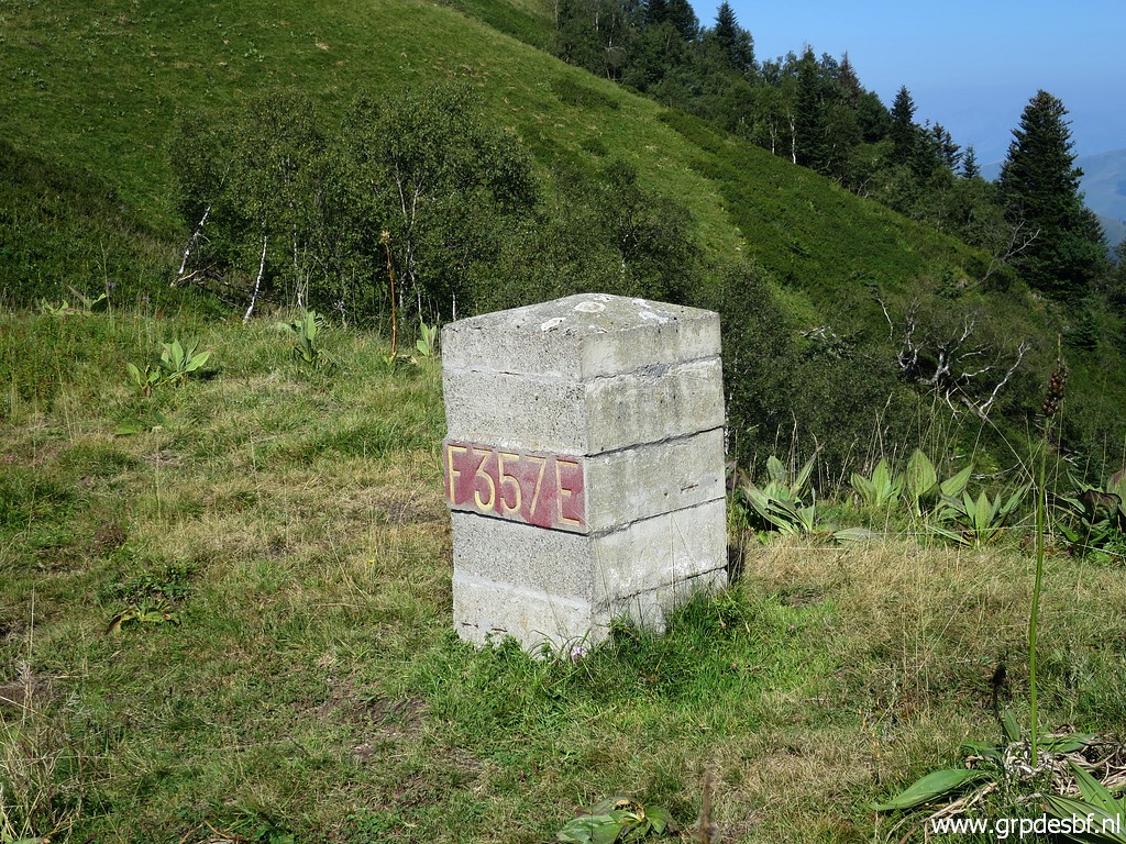 |
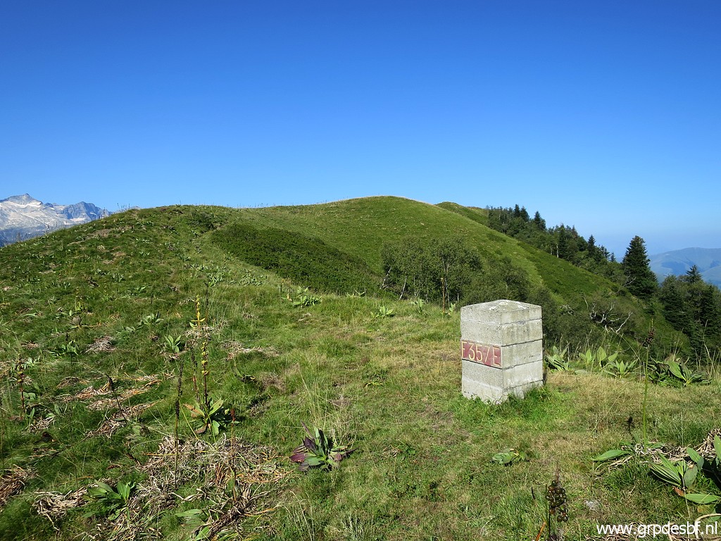
Bm357 click photo to enlarge |
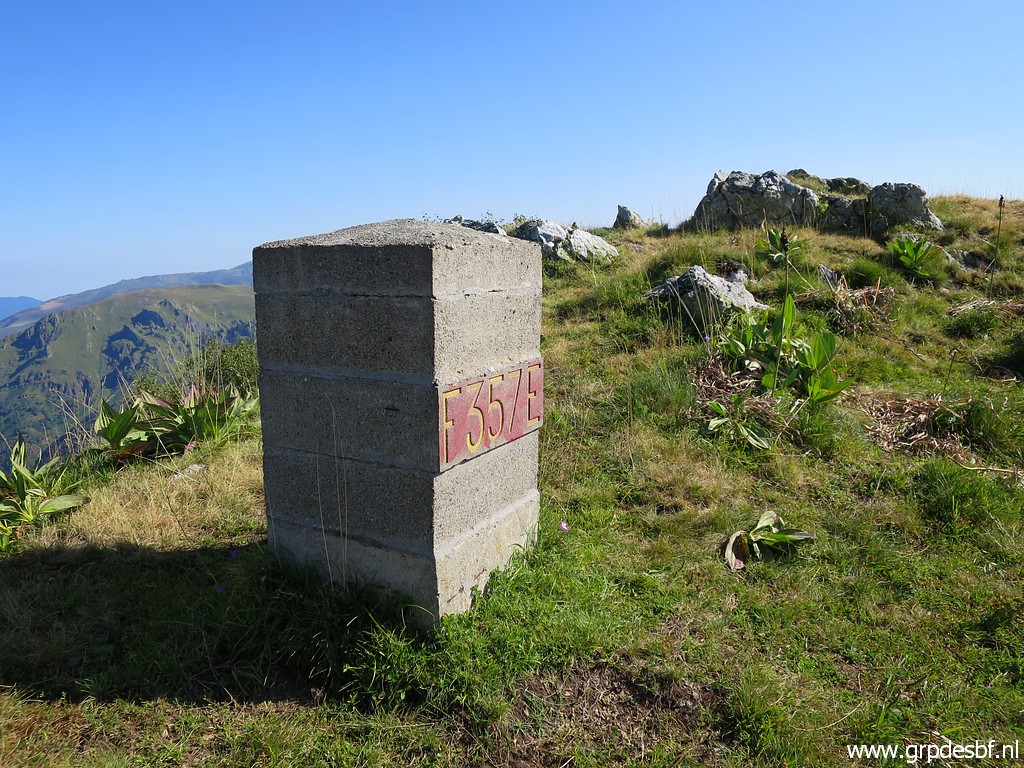 |
Bm357 click photo to enlarge |
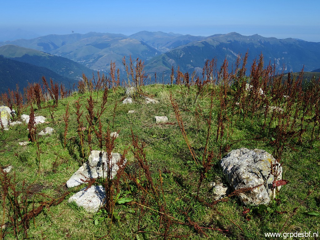 |
At the summit itself click photo to enlarge |
 |
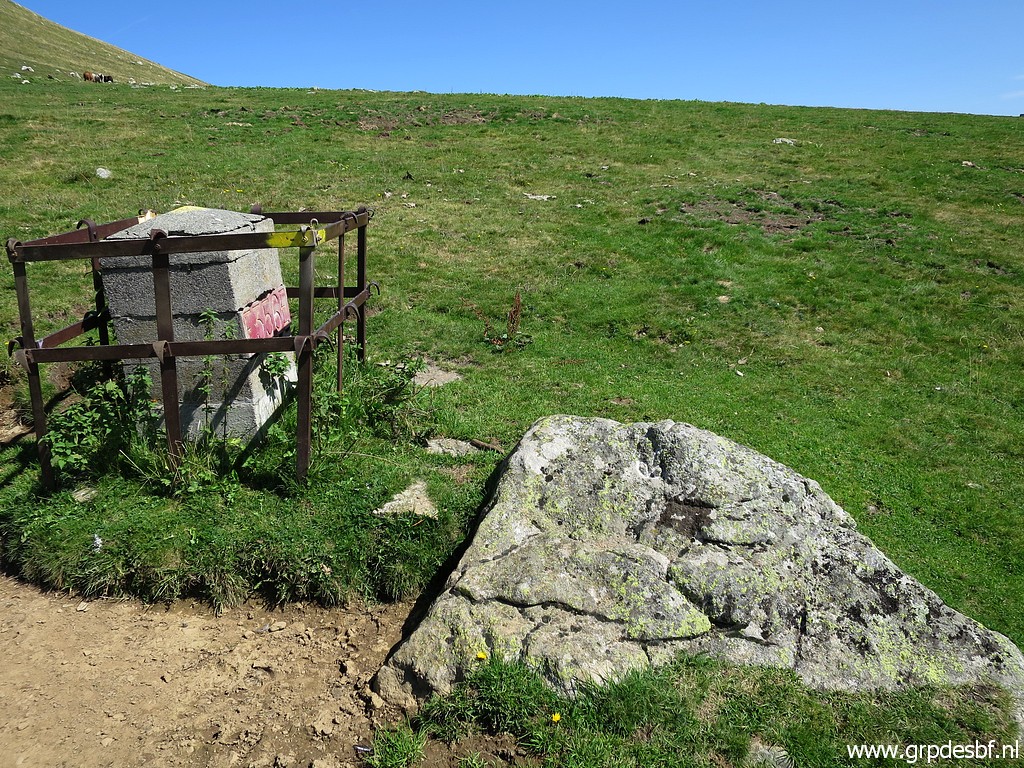
this geodetical marker. click photo to enlarge |
 |
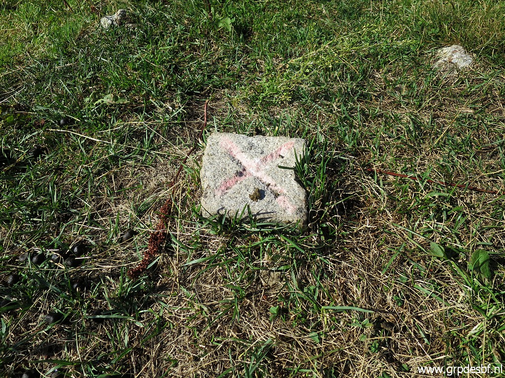
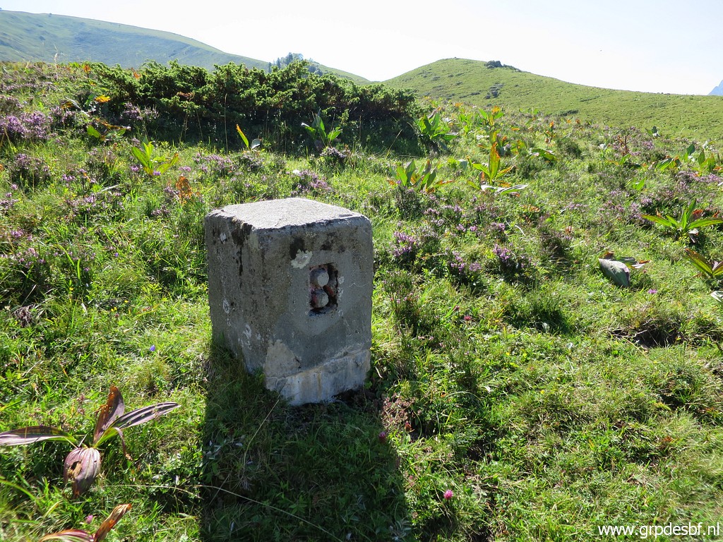
Then to 'borne de paçage' Y, ± 75m SE of the summit. These 'bornes de paçages' were placed in the 19th century to delimitate the borders of Spanish-owned land on the French side of the border. Although no international demarcation, they were included in the treaties to regulate the grazing territory of the Spanish communities who owned land on French soil. They were also reinstalled in the restauration of 1950-ies, having vanished before. click photo to enlarge |
 |
Charles
Darrieu provided me with the gps-waypoints to find them. As far as I
know, he has been the first (and only one) to try to find them back. More information on this special page. click photo to enlarge |
 |
Borne de paçage Y click photo to enlarge |
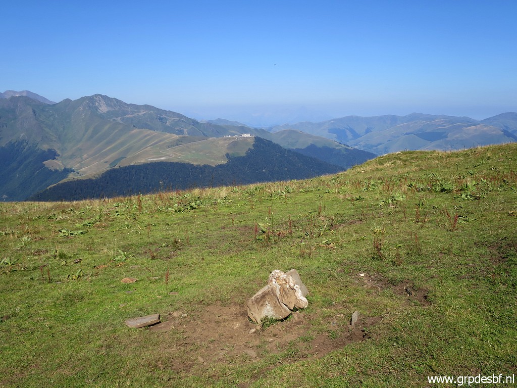 |
Borne de paçage Y On the hilltop far away click photo to enlarge |
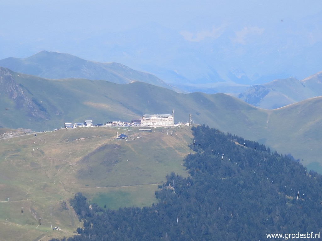 |
one can recognize the ski-resort of Superbagnères. click photo to enlarge |
 |
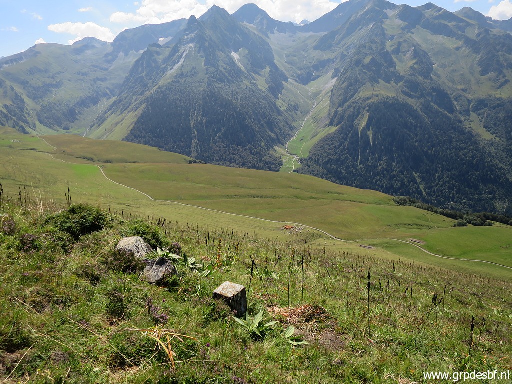
A view back to Col de Barèges click photo to enlarge |
 |
with a zoomin to the trails which connect Col de Barèges with the upper valley via Cabane de Campsaure. click photo to enlarge |
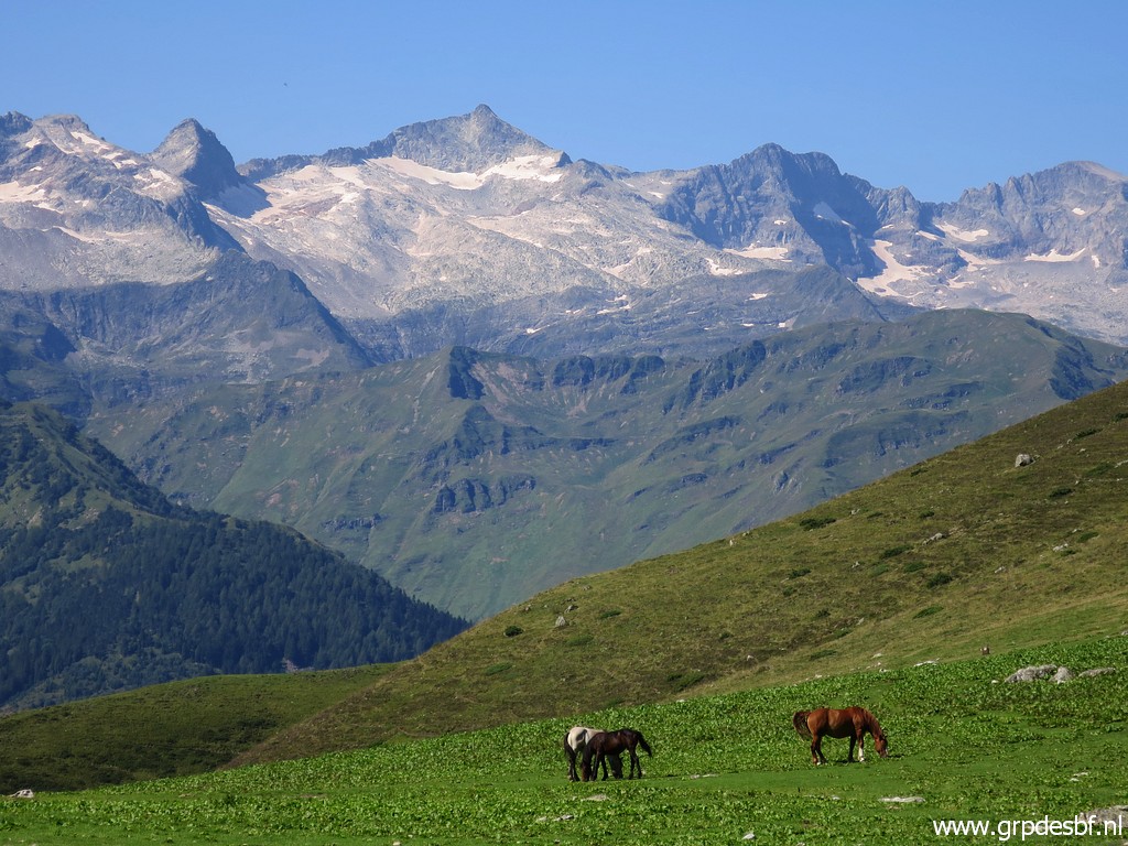 |
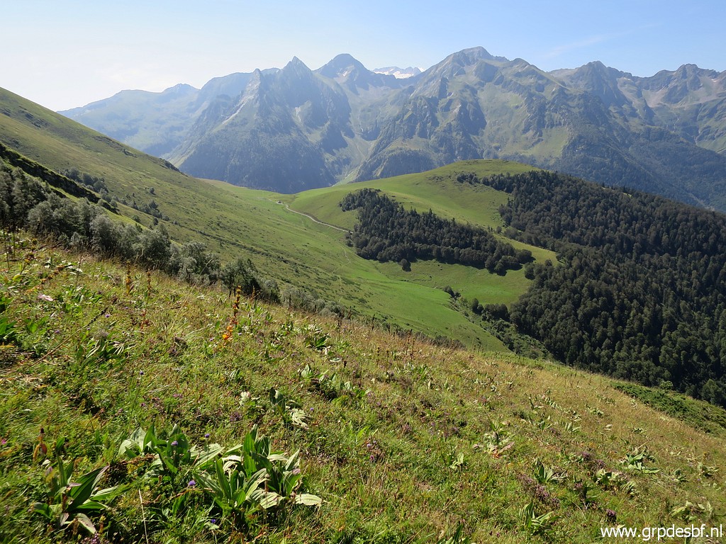
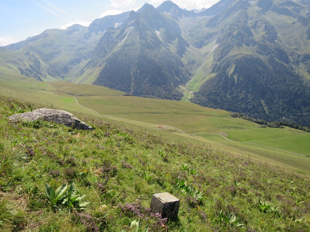
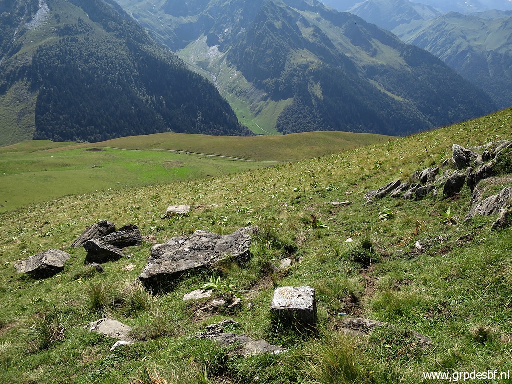
Finally this fine view of the high mountainridge between bm330bis (Port de la Clarabide) and 331 (Port de la Glère). Too high for regular borderpasses and that's the reason that no bordercrosses were engraved. click photo to enlarge |
 |
Back to Col de Barèges to recover my tent. I estimated before that the targets of today would take half a day, leaving time to descend to Hospice de France where my car is. But the traversing of the high grassy hillsides going up and down takes his toll: it will become the hardest day of this trekking with hurting feet. But first via bm356 click photo to enlarge |
 |
with the rock alongside with the ancient engravings of the "Fleur de Lys" and the "barres d'Aragon". click photo to enlarge |
 |
Another
view of the trail which connects the Col de Barèges with the Cabane de
Campsaure and then to the upper valley and finally the Pas de
l'Escalette. click photo to enlarge |
 |
My next target: borne de paçage B1 using the gps-waypoints of Charles Darrieu. This picture: a bit of memento mori. click photo to enlarge |
 |
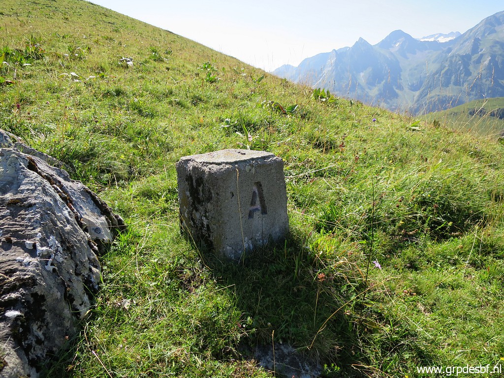
Borne de paçage B1 The name B1 (and A1) is meant to distinguish this marker B and marker A with the markers A and B in the upper valley. click photo to enlarge |
 |
Borne de paçage B1 click photo to enlarge |
 |
Borne de paçage B1, looking in the direction of Col de Barèges. click photo to enlarge |
 |
Continuing along the grassy hillside - no trails which is tiring - to borne de paçage A1 click photo to enlarge |
 |
Borne de paçage A1 click photo to enlarge |
 |
As you can see, I'm high on the hillside and have another view towards what interests me: click photo to enlarge |
 |
the trail which climbs through the grass to Col de Barèges. This zoom-in shows where it starts from the dirtroad. Along that dirtroad one can distinguish Cabane de Campsaure. click photo to enlarge |
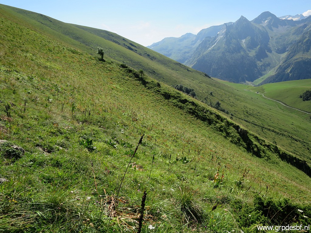 |
I continue along the grassy hillside. click photo to enlarge |
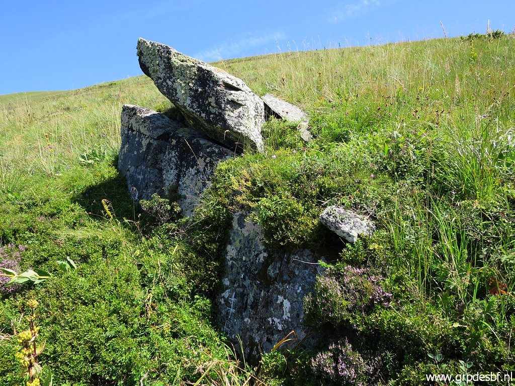 |
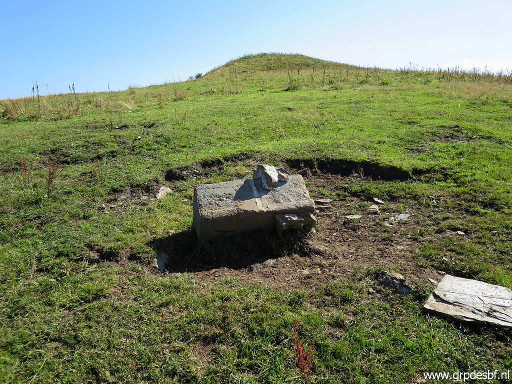
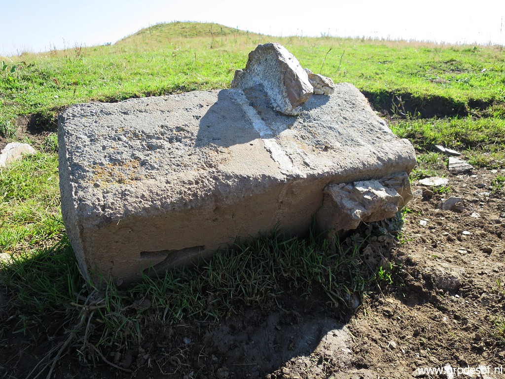
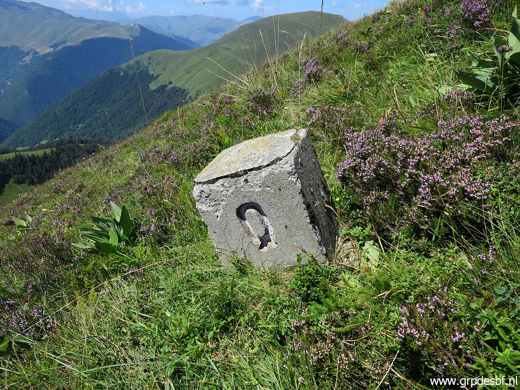
Borne de paçage R is a surprise: no marker but a double cross and the letter R engraved. Took a while to find it on the rock. click photo to enlarge |
 |
Borne de paçage R click photo to enlarge |
 |
Borne de paçage R click photo to enlarge |
 |
The rocks of borne de paçage R, seen from the north-side. click photo to enlarge |
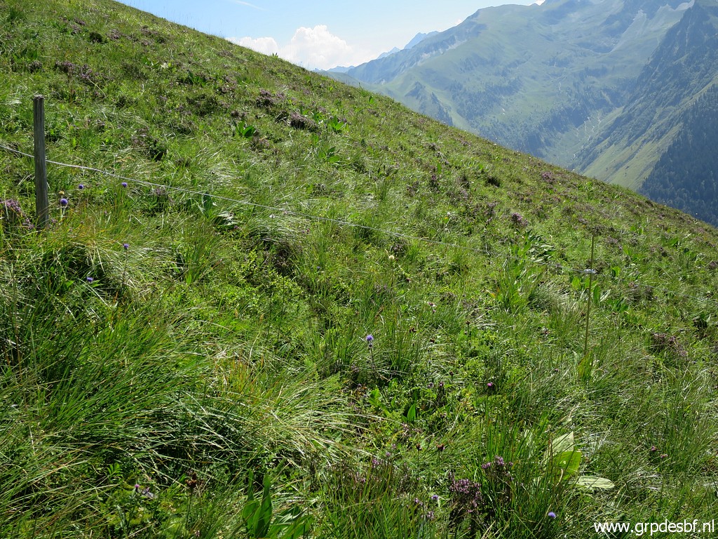 |
I
pass a fence wondering if this has any connection with the cadastral
borders of the 'paçages' of the Spanish communities on the other side
of the border. click photo to enlarge |
 |
Borne de paçage Q, seen from above |
 |
Borne de paçage Q click photo to enlarge |
 |
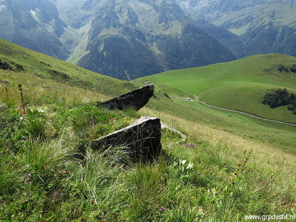
I continue to borne de paçage P, in the far distance the Port de Venasque. click photo to enlarge |
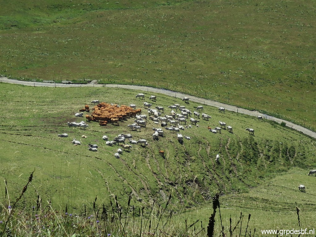 |
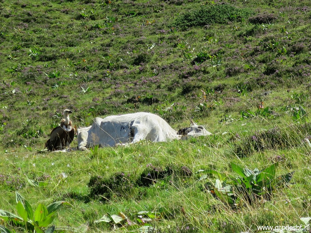
Zoom-in to a flock of cattle, gathered - I guess - around a cattlefeed trough. click photo to enlarge |
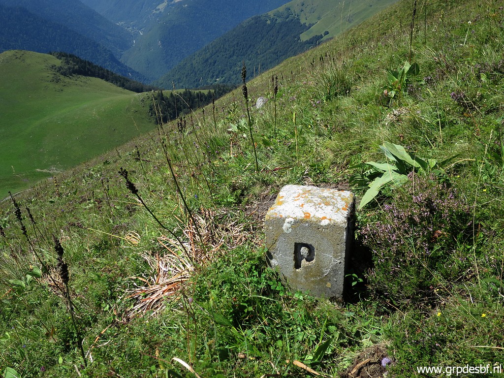 |
Borne de paçage P click photo to enlarge |
 |
Then to borne de paçage N click photo to enlarge |
 |
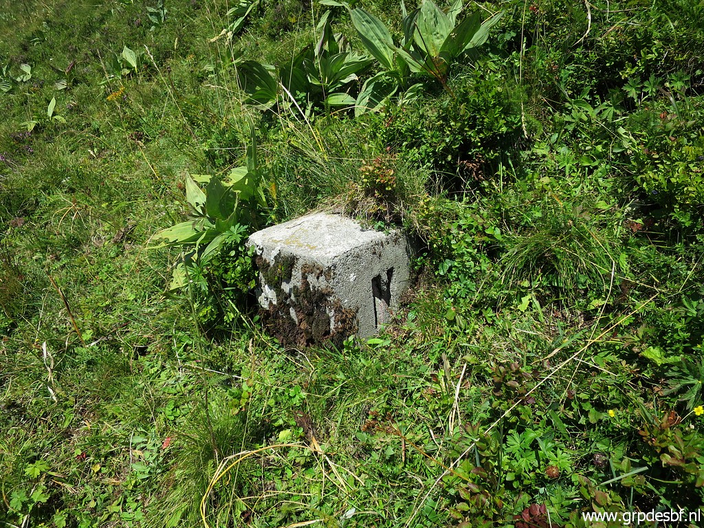
Borne de paçage N, this one was not easy to find. click photo to enlarge |
 |
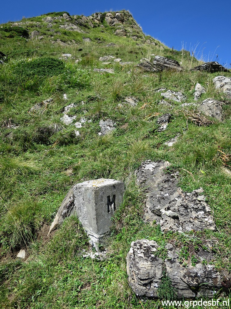
Further on on the hillside borne de paçage M click photo to enlarge |
 |
Borne de paçage M click photo to enlarge |
 |
Borne de paçage M click photo to enlarge |
 |
This picture shows the borderline to the south. click photo to enlarge |
 |
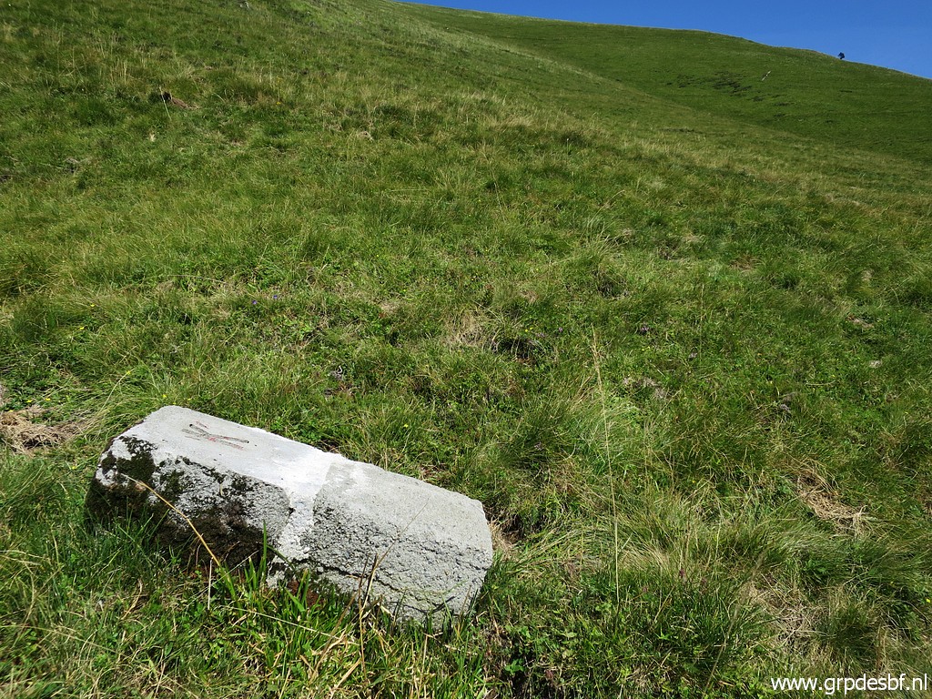
Borne de paçage K2, not an easy find click photo to enlarge |
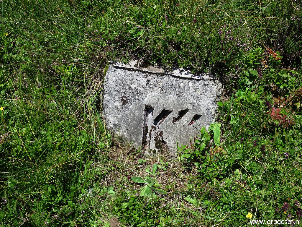 |
Borne de paçage K2 with its two '' click photo to enlarge |
 |
Borne de paçage K2 click photo to enlarge |
 |
Borne de paçage K2 click photo to enlarge |
 |
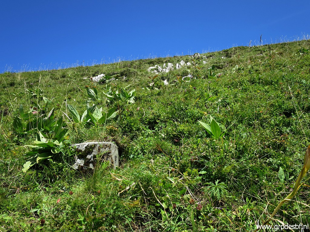
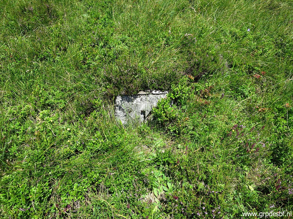
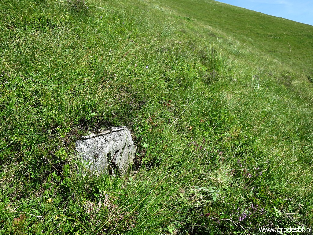
Borne de paçage K1 is downhill click photo to enlarge |
 |
Borne de paçage K1 click photo to enlarge |
 |
Borne de paçage K1 click photo to enlarge |
 |
And a bit more downhill borne de paçage L click photo to enlarge |
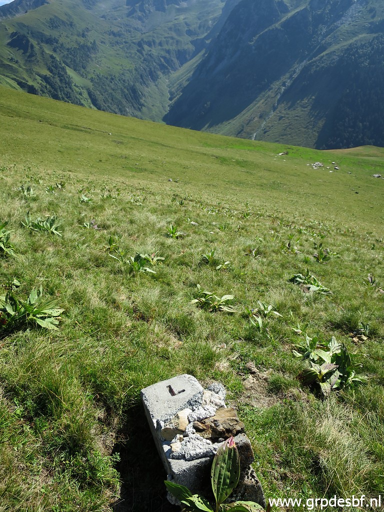 |
Borne de paçage L click photo to enlarge |
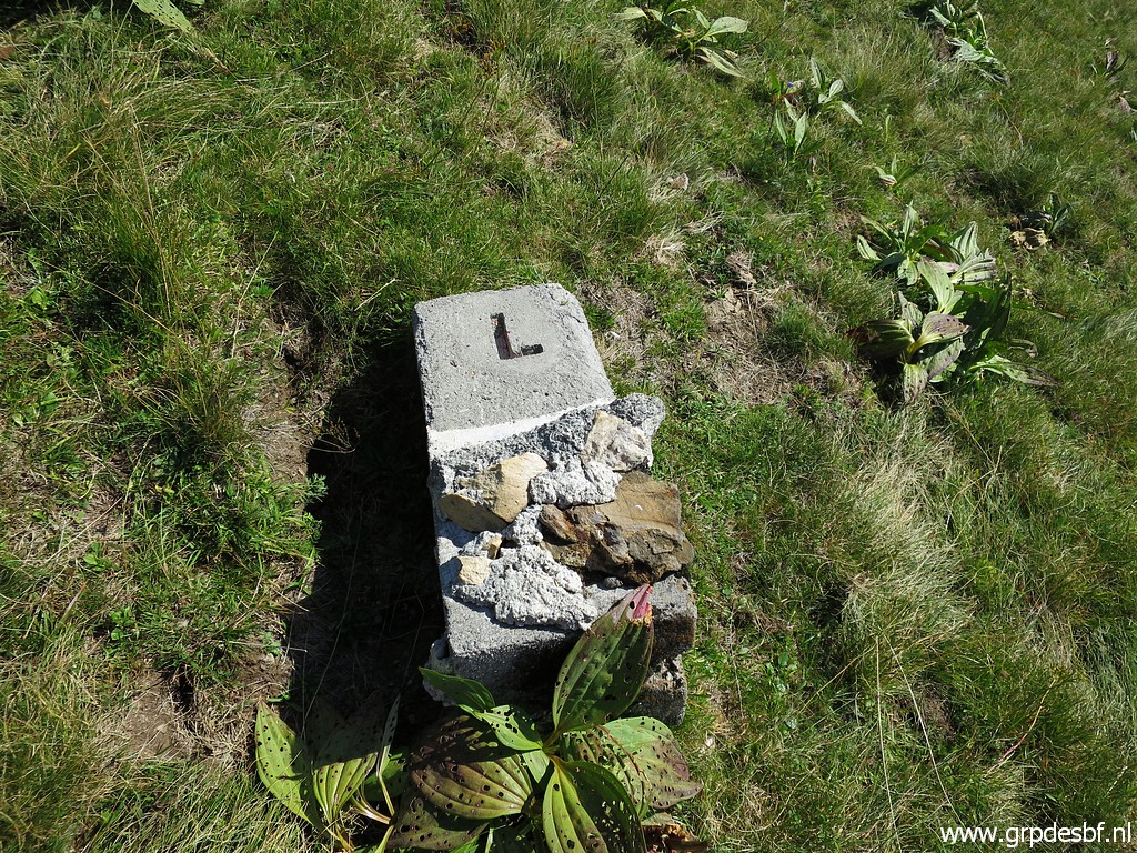 |
Borne de paçage L click photo to enlarge |
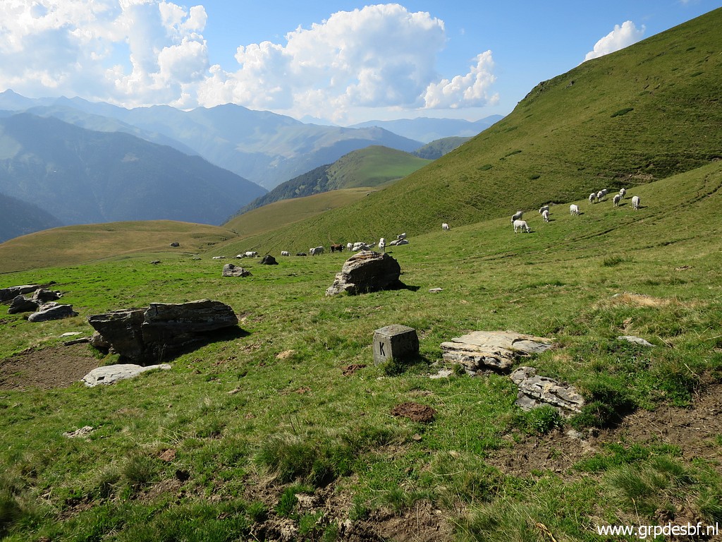 |
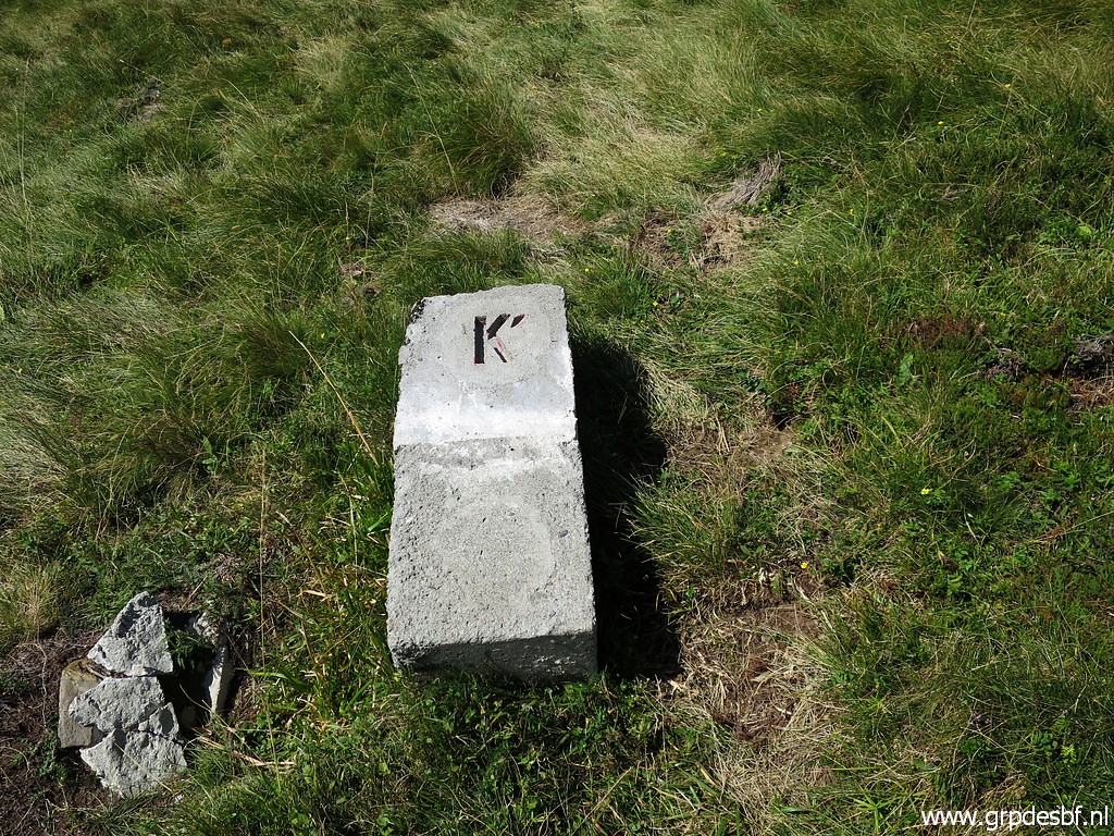
Borne de paçage K click photo to enlarge |
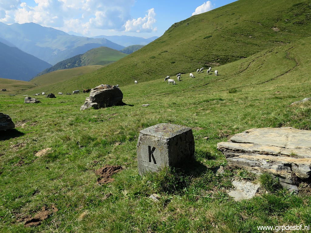 |
Borne de paçage K click photo to enlarge |
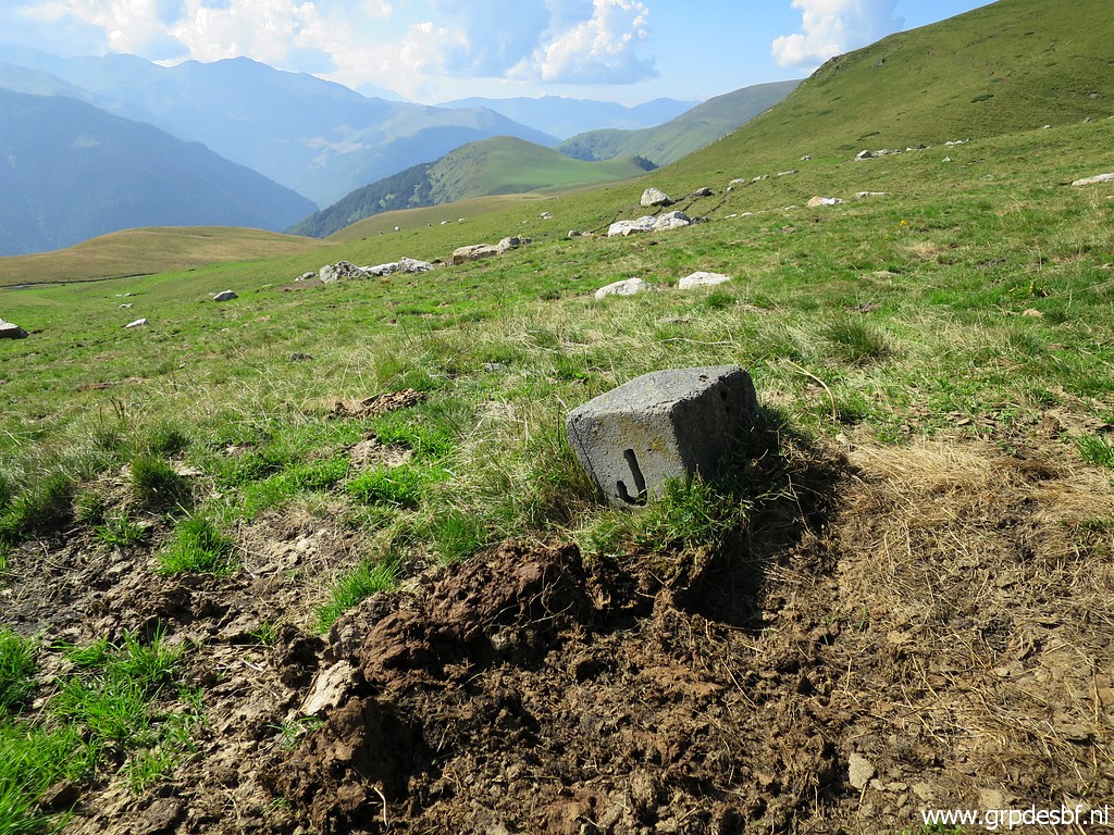 |
And then - 100m to the south - borne de paçage J, the last one to cover. click photo to enlarge |
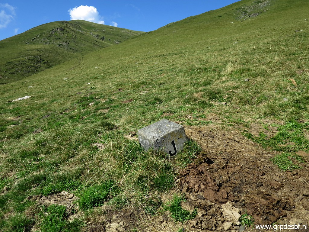 |
Borne de paçage J click photo to enlarge |
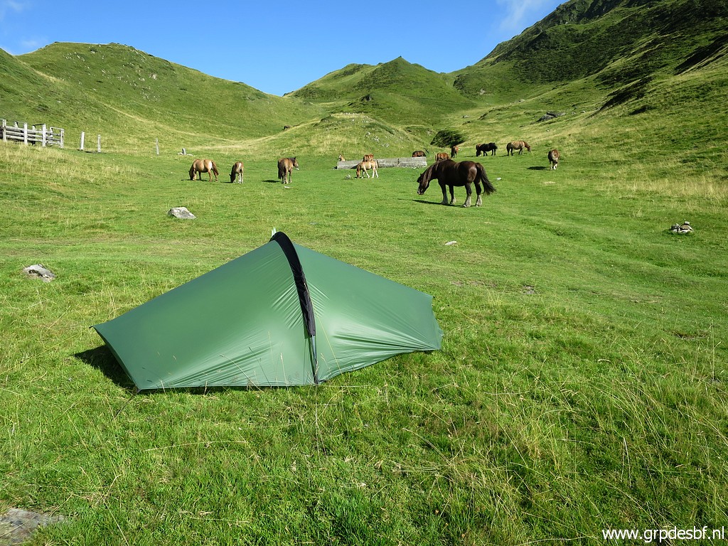 |
I return to the valley of Roumingou to pass the night. It has been a tough day, I'm tired and go to sleep early. click photo to enlarge |