|
The
bordermarkers of the Pyrenees : all my trips
 |
|
| -
saturday 20 june
2020 - Searching for bornes-de-pacage C, E en G |
 |
 |
Summary:
part of a series of 6 trips in june 2020 near Luchon and in the Basque
country. This is trip 1. Today: a search (in vain) for 'borne de paçage' C, finishing with a bivouac in the Vallée de Roumingou. Weather: bright in the morning, foggy and cold in the afternoon. |
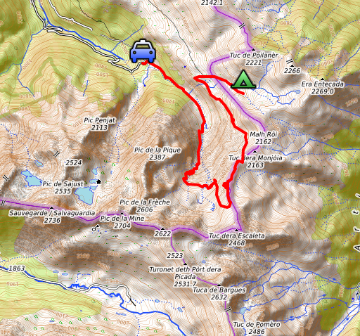
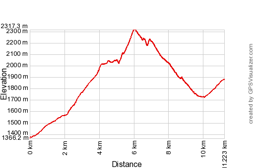
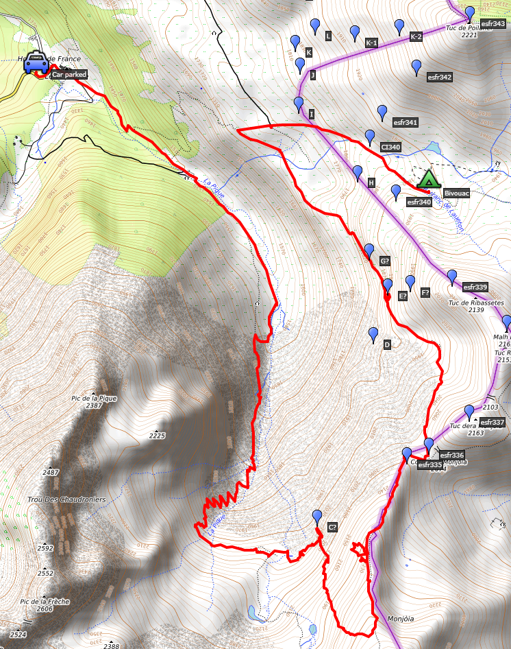 track-20200620.kml
(click to open this trip in Google Earth or copy link to Google Maps; click right on this link to download gpx-version). The gps-track has not been manually corrected which explains the inaccuracy and misalignment at some points. For cartographic backgrounds: see the cartography-page Gps-waypoints of all bordermarkers (most recent version): kml: esfr-bordermarkers-all-waypoints.kml gpx: esfr-bordermarkers-all-waypoints.gpx (with elevation added by gpsvisualizer.com) |
|
 |
According to Garmin
Basecamp (uncorrected track): Distance: 11,3 km Max-height: 2312m Min-height: 1386m Elevation: +1194m -717m Total elevation: 1901m Start 10:55 Finish 17:24 Total time: 6:29 |
 | I
have driven through the night from Holland to Hospice de France,
sleeping in between a few hours in my car. Leaving on friday is not
that practical: traffic jams in Lille and Paris. My target for today and tomorrow are the missing 'bornes de paçage'. No international bordermarkers but 28 markers which delimitate the Spanish pastures on French territory between bm333 and 357. On 19-8-2018 and 20-8-2018, I found 19 of them. (click photo to enlarge) |
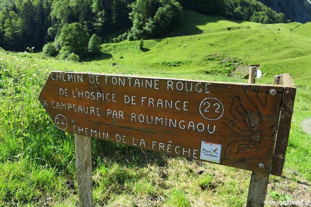 | See this article for the history of these markers and my calculations where the missing 9 markers could perhaps be found. This picture: I will take the 'chemin de la Frèche' towards Étang de la Frèche. (click photo to enlarge) |
 | Hospice de France is for most walkers the departure point for the iconic Port de Vénasque. That is up the valley ahead on this picture. (click photo to enlarge) |
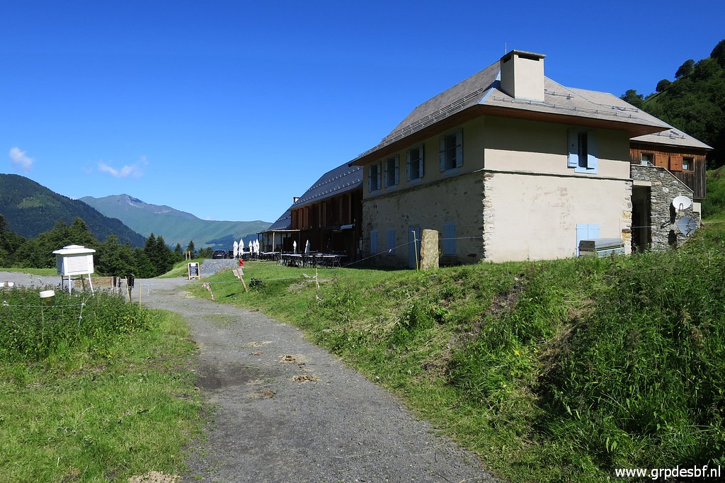 | Hospice de France, a restaurant-hotel. (click photo to enlarge) |
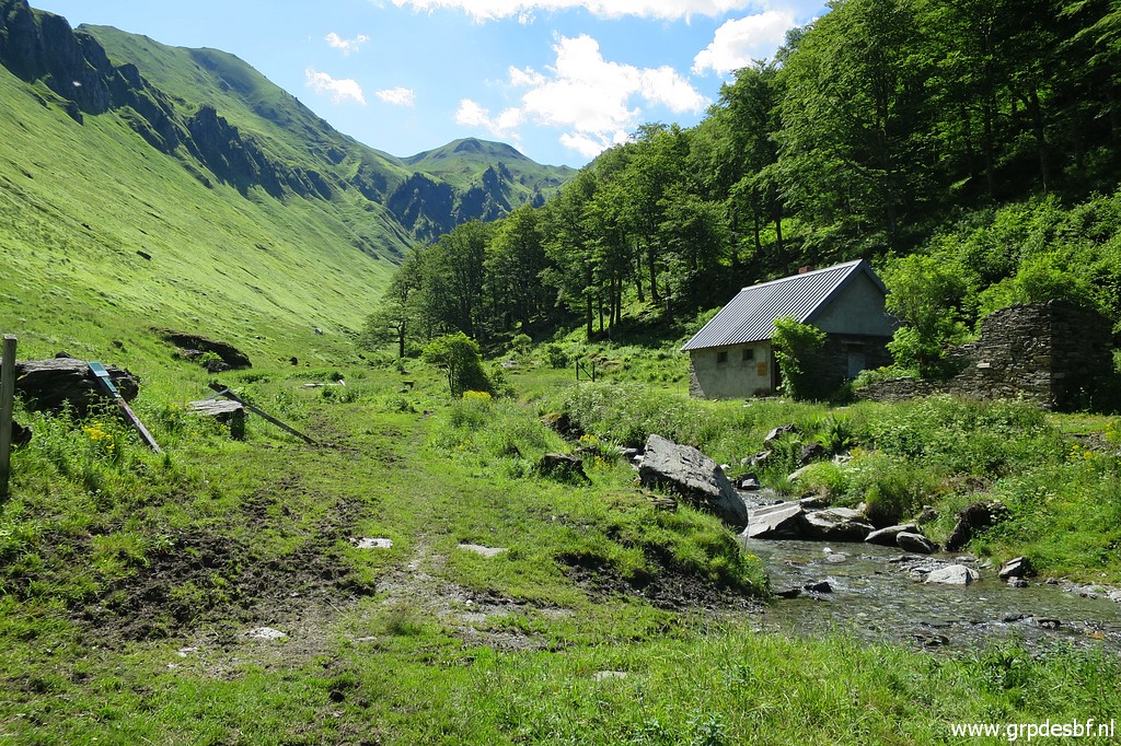 | Following the Chemin de la Frèche I pass this shepherd's cabin (Cabane de la Frèche). (click photo to enlarge) |
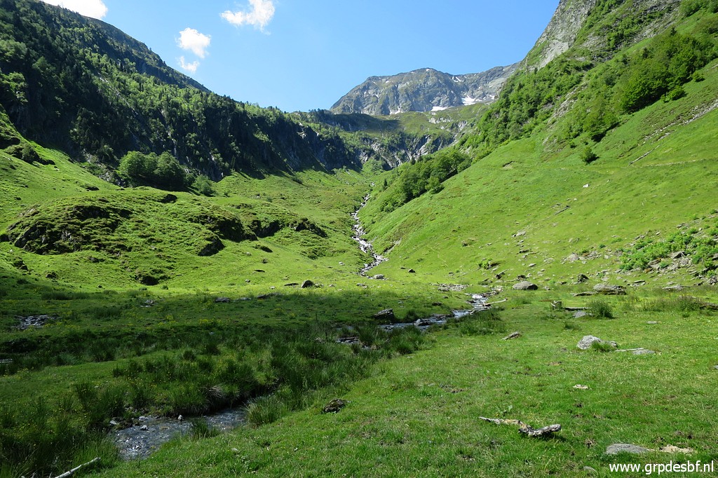 | Continuing uphill. (click photo to enlarge) |
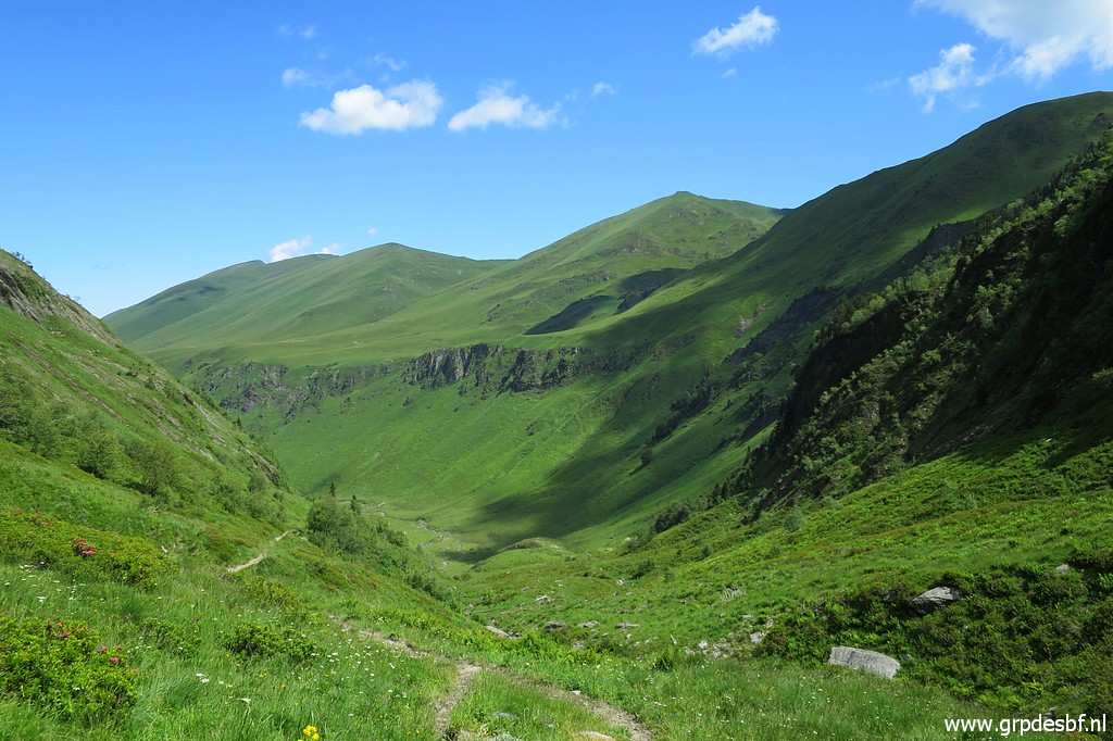
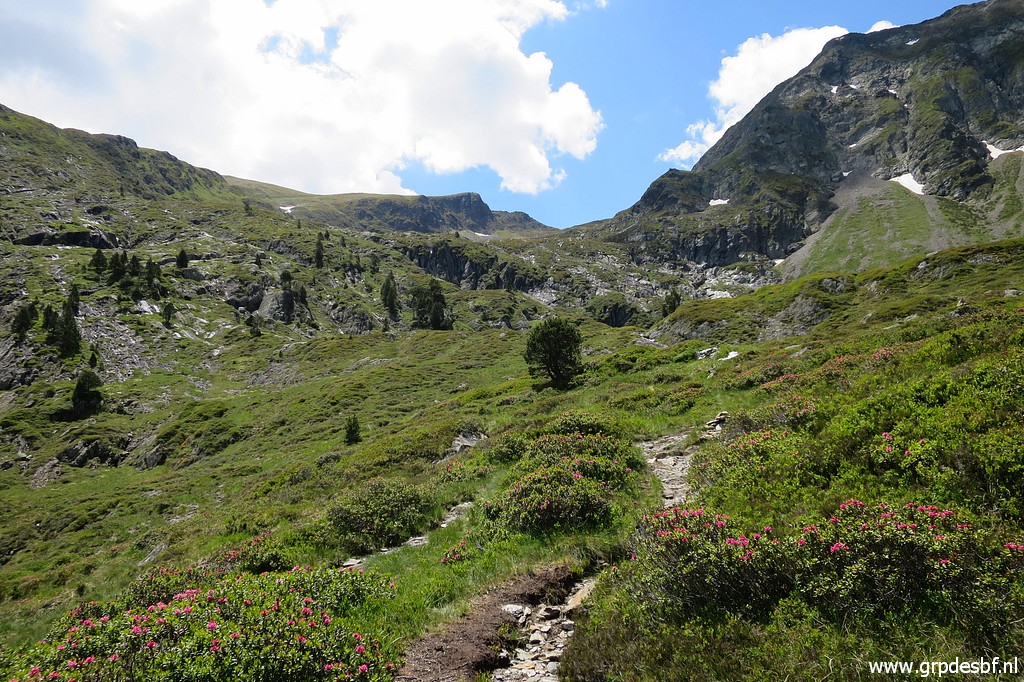
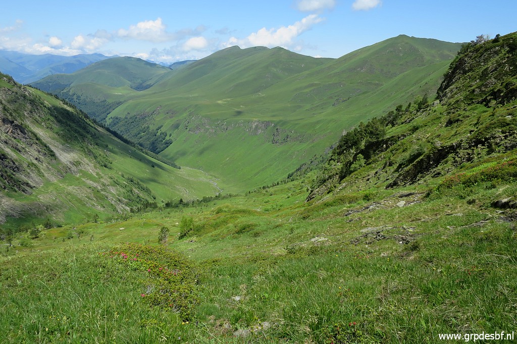
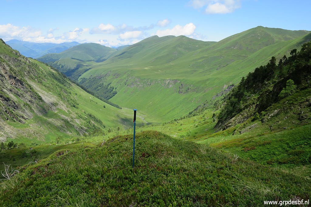
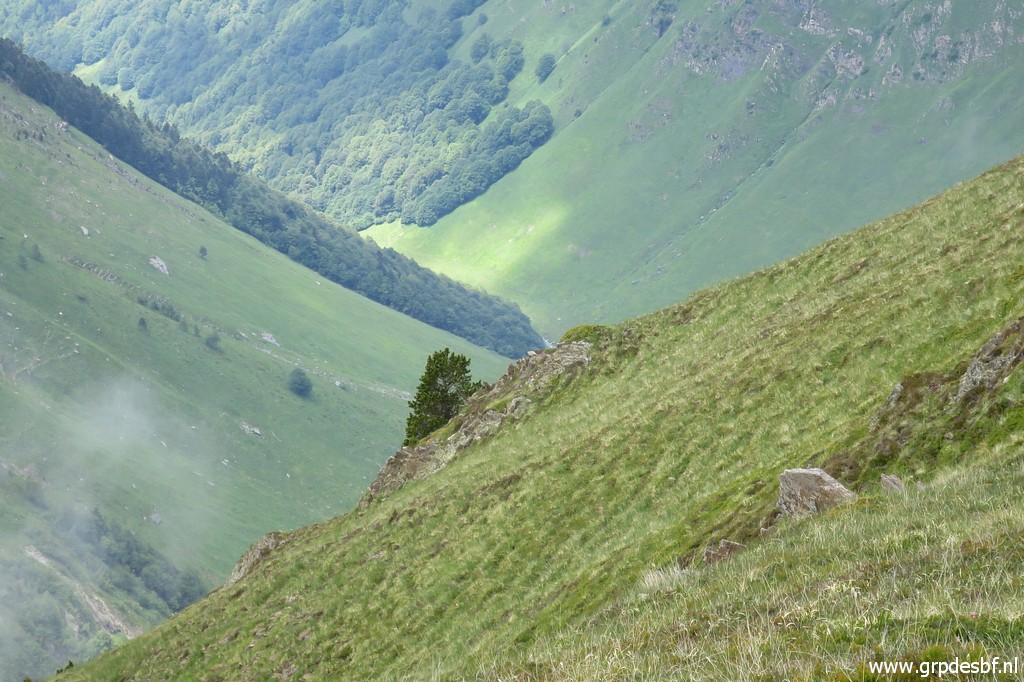
 | A view to the NE. Tonight I will camp in the Roumingou-valley. (click photo to enlarge) |
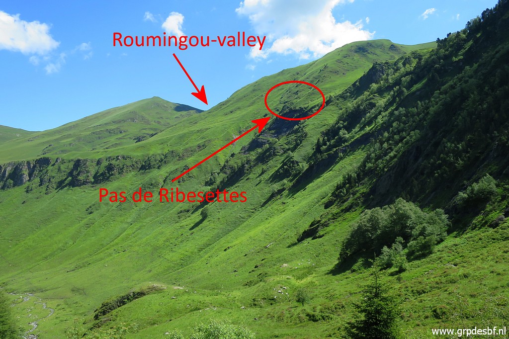
 | The Pas de Ribesettes is a passage along a steep part of the hillside. It's toponym is absent on current maps. (click photo to enlarge) |
 | Two of the missing 'bornes de paçages' are or were on the hillside above this pass. Later on this day, I will pass the Pas de Ribesettes on my way to the Roumingou-valley. (click photo to enlarge) |
 | A view back (click photo to enlarge) |
 | Later on, this view back. (click photo to enlarge) |
 | Approching a higher level of the hillside and (click photo to enlarge) |
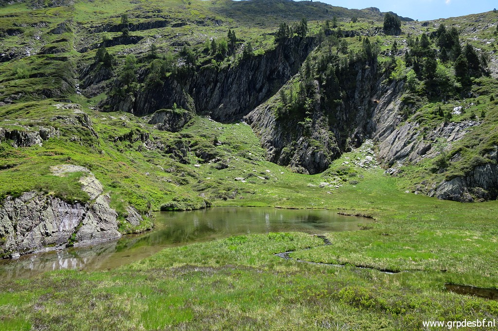 | now having arrived at a small lake with no name, below the Étang de la Frèche. (click photo to enlarge) |
 | Now I am getting close to the spot where I think 'borne de paçage' C was placed. (click photo to enlarge) |
 | It turns out to be a small grassy hilltop and that is this hilltop but (click photo to enlarge) |
 |
I find no marker. And I am not surprised because I already noticed (click photo to enlarge) |
 |
that it is much lower than the mountainridge than I thought. This can not reasonably be fitted in the account of Jean Sermet of the reinstallment of these markers in the 1950-ies. He doesn't make any remark about it being installed very much lower than the ridge and with more difficulties than just lower the marker by cords. (click photo to enlarge) |
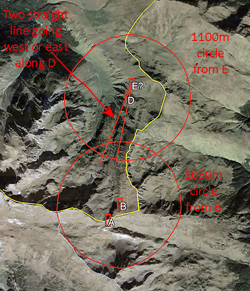 |
I established this probable spot using the data from the proceedings of the 'bornes de paçages'. On the overlapping area of the lines and circles, there should be a 'piton', a small hilltop. A hilltop where marker C was placed. See for more explanation, this article. |
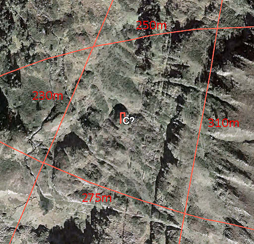 |
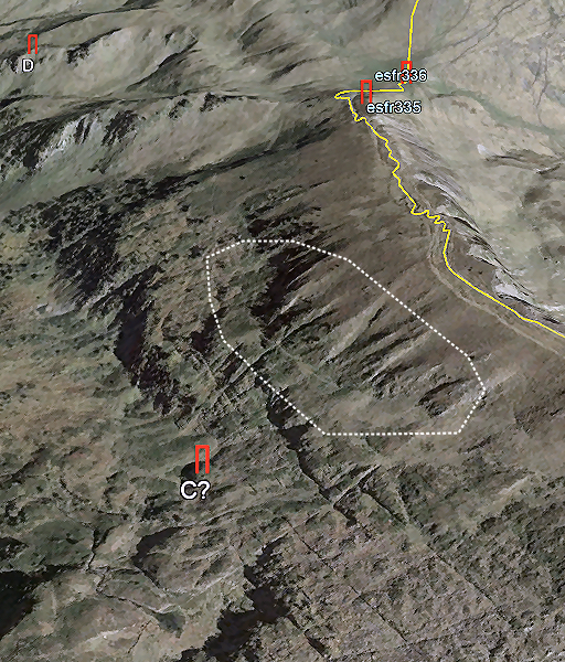
Zooming into that area, I could spot on Google Earth a sort of small hilltop in the middle of it. And this is where I am now: the grassy hilltop. |
 |
Same point, now seen from the south. |
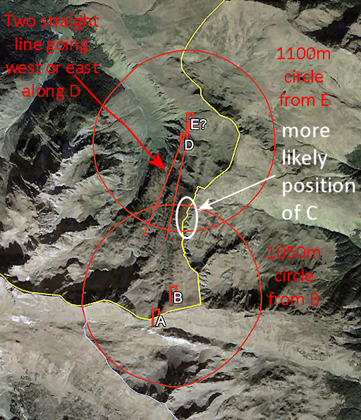 |
So - after considering the
reasons above - looking again at the maps and Google Earth, it seems
much more likely that marker C was placed in the white circle. |
 |
But still not on the
mountainridge itself but below it. Jean Sermet writes that is was necessary to lower the marker C by cords because the descent was inaccessible for the mule. If we project that on Google Earth, then we get this approximate area to search for. |
 | So far, no good. In between: a view to the north with (click photo to enlarge) |
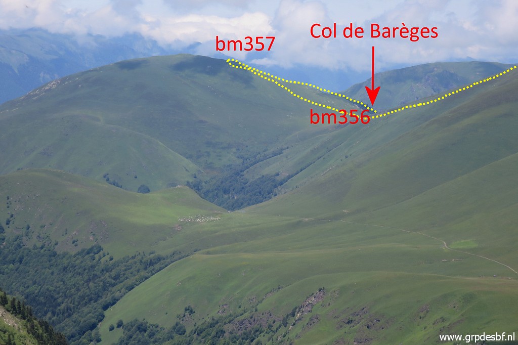 | - zoomin - the Col de Barèges in the far distance. I climb uphill to the mountainridge, making a latge semicircle to the south, having to find my way. (click photo to enlarge) |
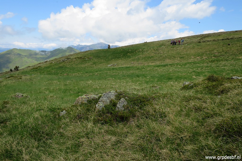 | Then suddenly I spot walkers and I reach the trail along the ridge. (click photo to enlarge) |
 | I follow the trail to the north and (click photo to enlarge) |
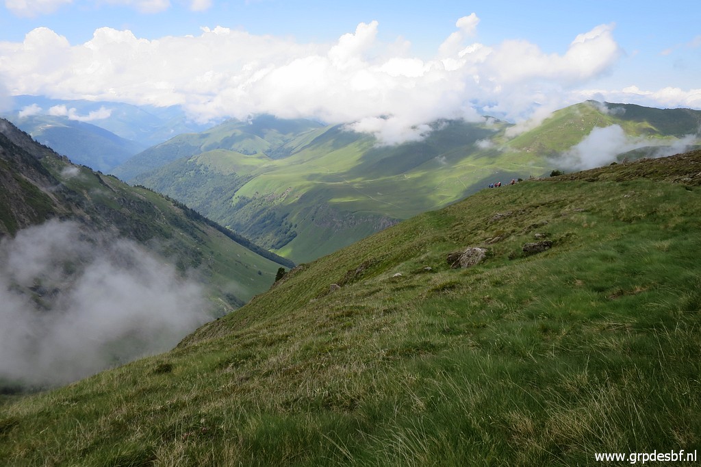 | descend twice down the mountainside (click photo to enlarge) |
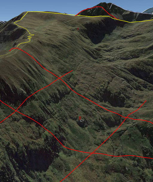
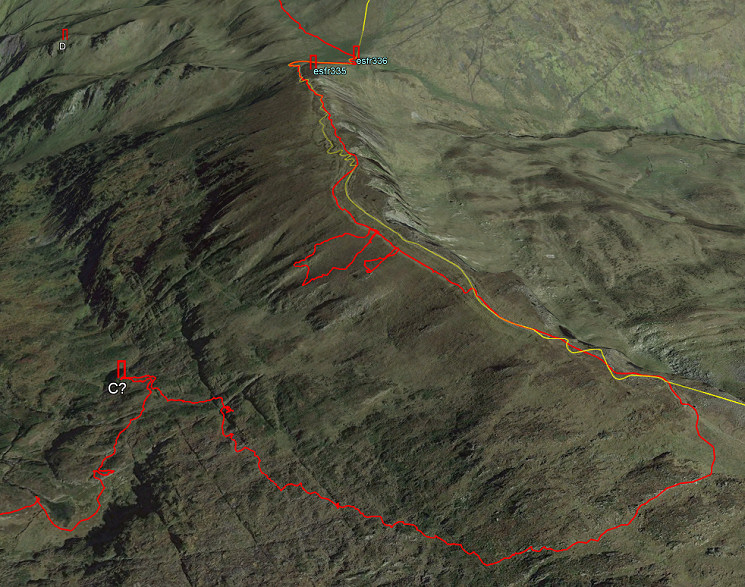 as shown on this Google Earth map |
|
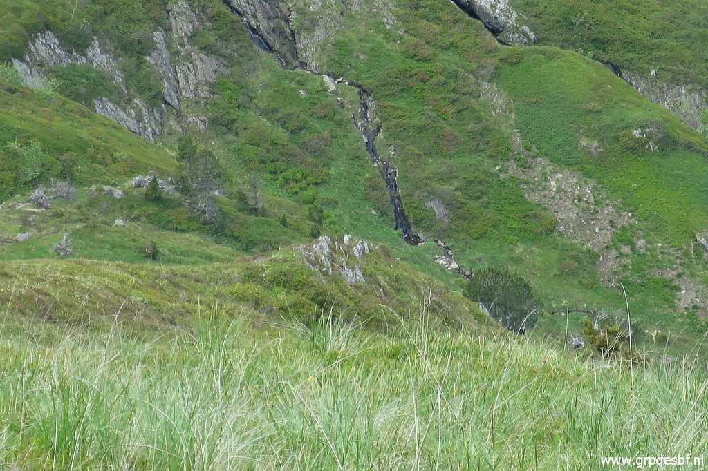
 | to rocky outcrops like this one and (click photo to enlarge) |
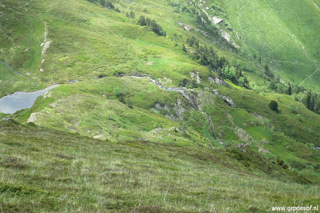
 | this one and (click photo to enlarge) |
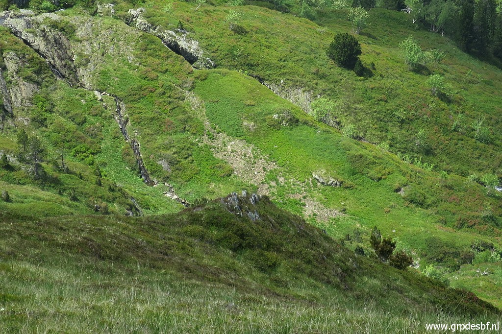
 | this one and (click photo to enlarge) |
 | this one. I didn't visit them all but one one might expect marker C on outcrops like these. But I am getting tired and give up. Also: clouds are drifting in. (click photo to enlarge) |
 | Approaching Pas de la Mounjoye with first bm335 at the ridge at the right side (click photo to enlarge) |
 | and then arriving at bm336. (click photo to enlarge) |
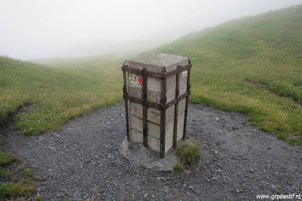 | Bm336 (click photo to enlarge) |
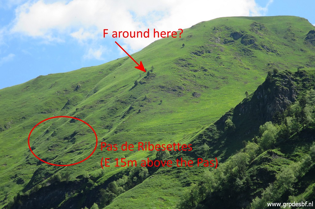
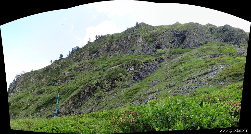
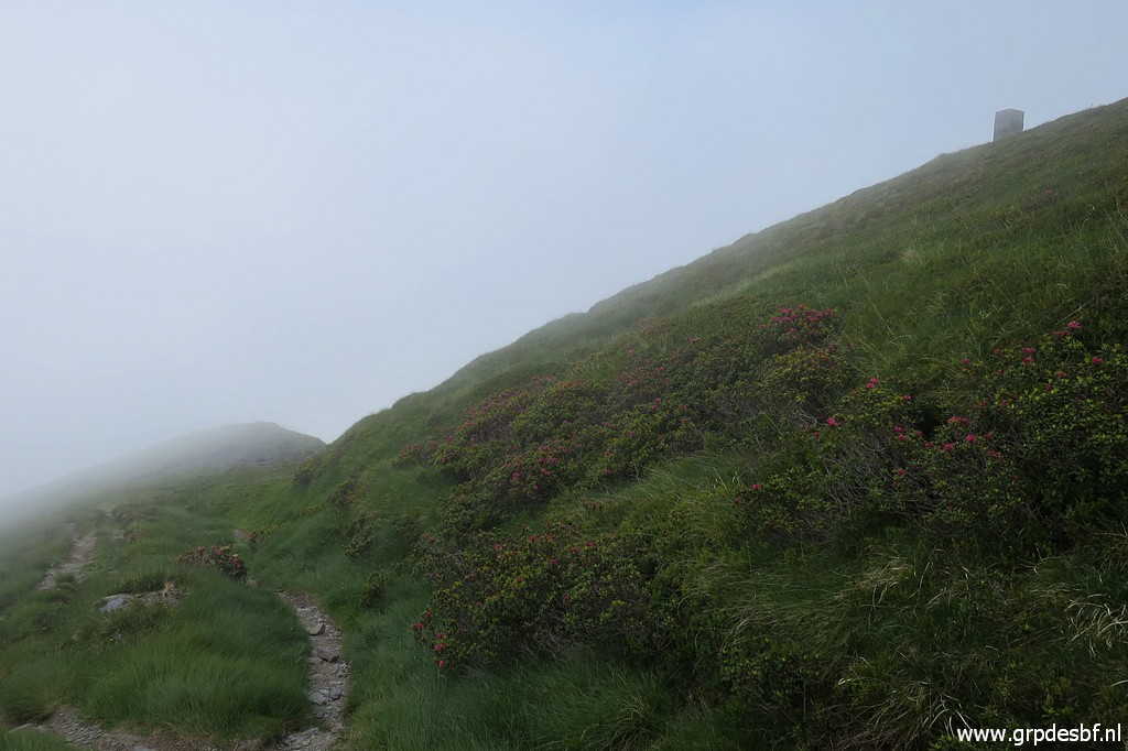
 | About 1 km further, there is Pas de Ribesettes. The Pas de Ribesettes is a passage along a steep part of the hillside. It's toponym is absent on actual maps. The 'bornes de paçages' E and F were placed above the Pas de Ribesettes. I do a quick search for marker E (15m above the trail according to the treaty) without success. (click photo to enlarge) |
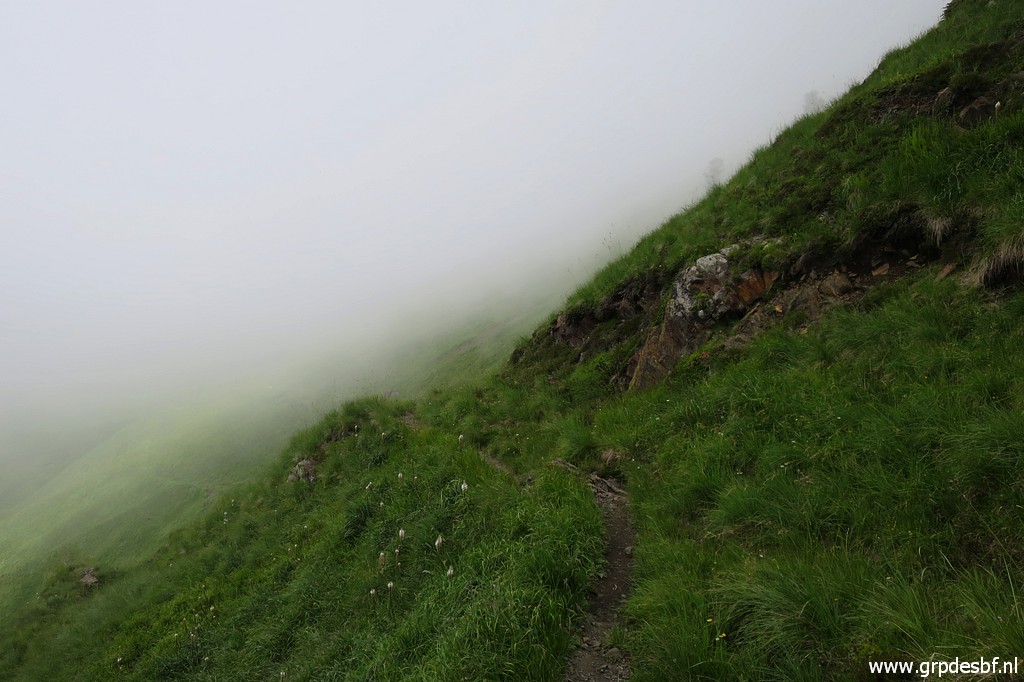 | Pas de Ribesettes It has been enough for today, I feel my energy level dropping and continue. After some looking around at the spot of the missing marker G, (click photo to enlarge) |
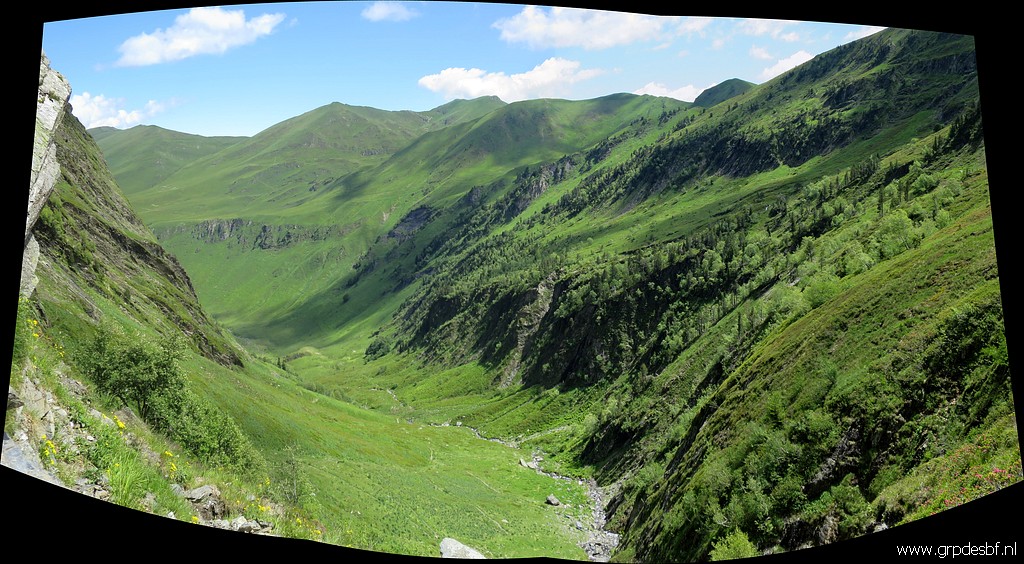
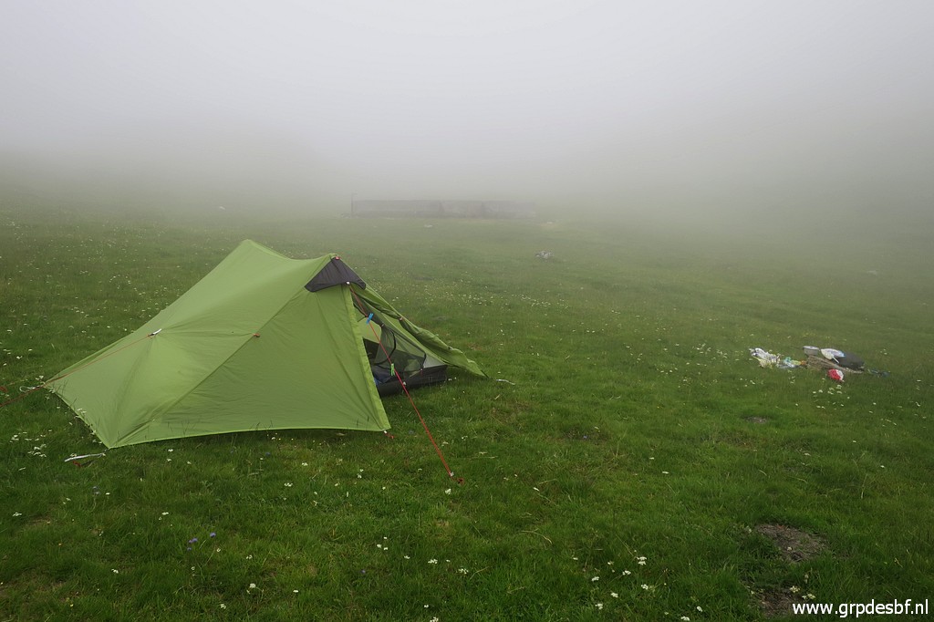 | I drag myself to the Roumingou valley to pitch my tent and at 19:30 I'm fast asleep. In the middle of the night, the skies have cleared and the stars shine brightly. By the way: this is the first time I use my new tent: the Lanshan II. A bit heavier but easy to pitch and giving more space. (click photo to enlarge) |