|
The
bordermarkers of the Pyrenees : all my trips
 |
|
| -
sunday 21 june
2020 - Doing CI340, transfer to Cabane d'Herechet, doing 408I-IV |
 |
 |
Summary:
part of a series of 6 trips in june 2020 near Luchon and in the Basque
country. This is trip 2. Today: I spend the morning with photographing CI340 and returning to Hospice de France. In the afternoon - from the village of Fos - I climb to Cabane d'Herechet and cover bm408I to IV. I spend the night in the cabin. Weather: splendid |
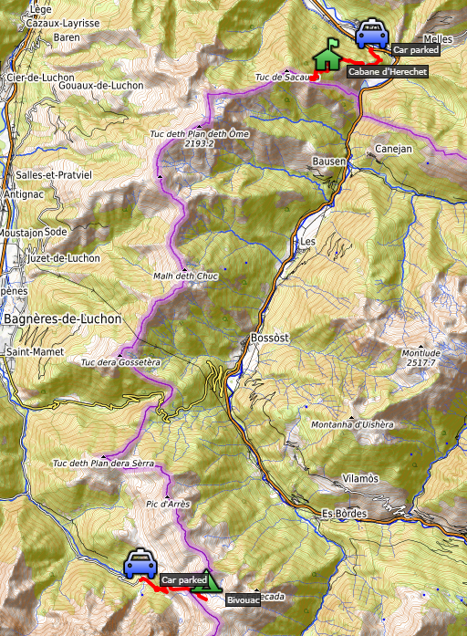
TRIP 1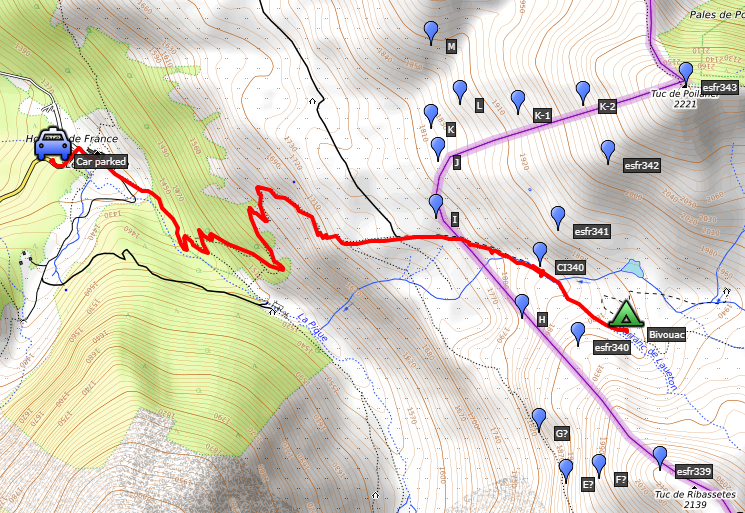 track-20200621-trip1.kml
(click to open this trip in Google Earth or copy link to Google Maps; click right on this link to download gpx-version). The gps-track has not been manually corrected which explains the inaccuracy and misalignment at some points. For cartographic backgrounds: see the cartography-page Gps-waypoints of all bordermarkers (most recent version): kml: esfr-bordermarkers-all-waypoints.kml gpx: esfr-bordermarkers-all-waypoints.gpx (with elevation added by gpsvisualizer.com) |
|
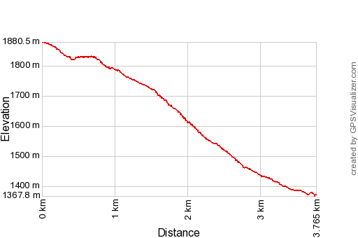 |
According to Garmin
Basecamp (uncorrected track): Distance: 4,2 km Max-height: 1876m Min-height: 1379m Elevation: +12m -508m Total elevation: 520m Start 9:57 Finish 12:11 Total time: 2:14 |
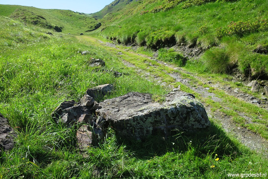
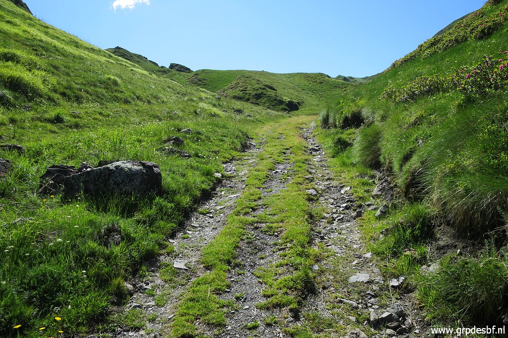
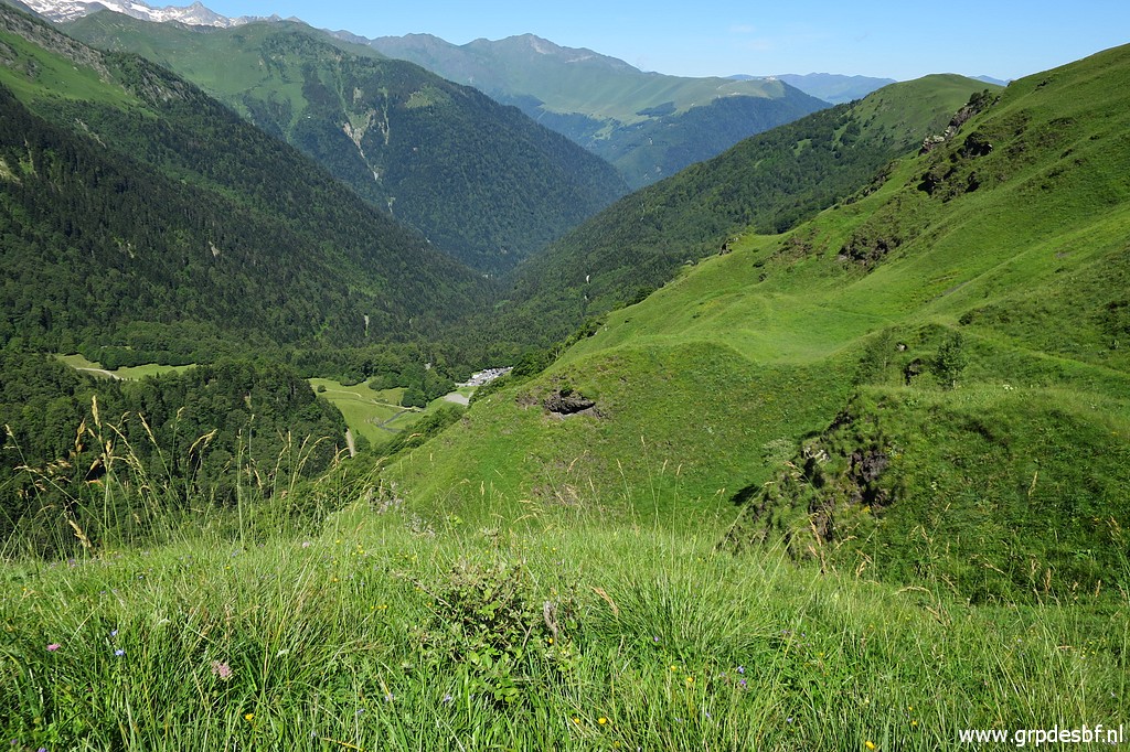
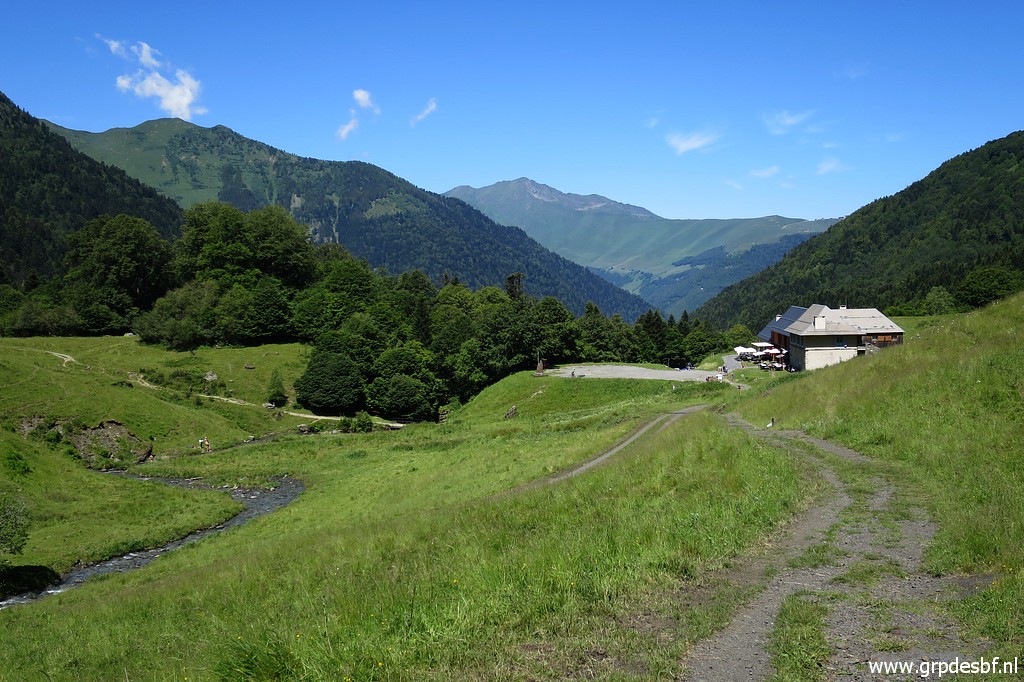
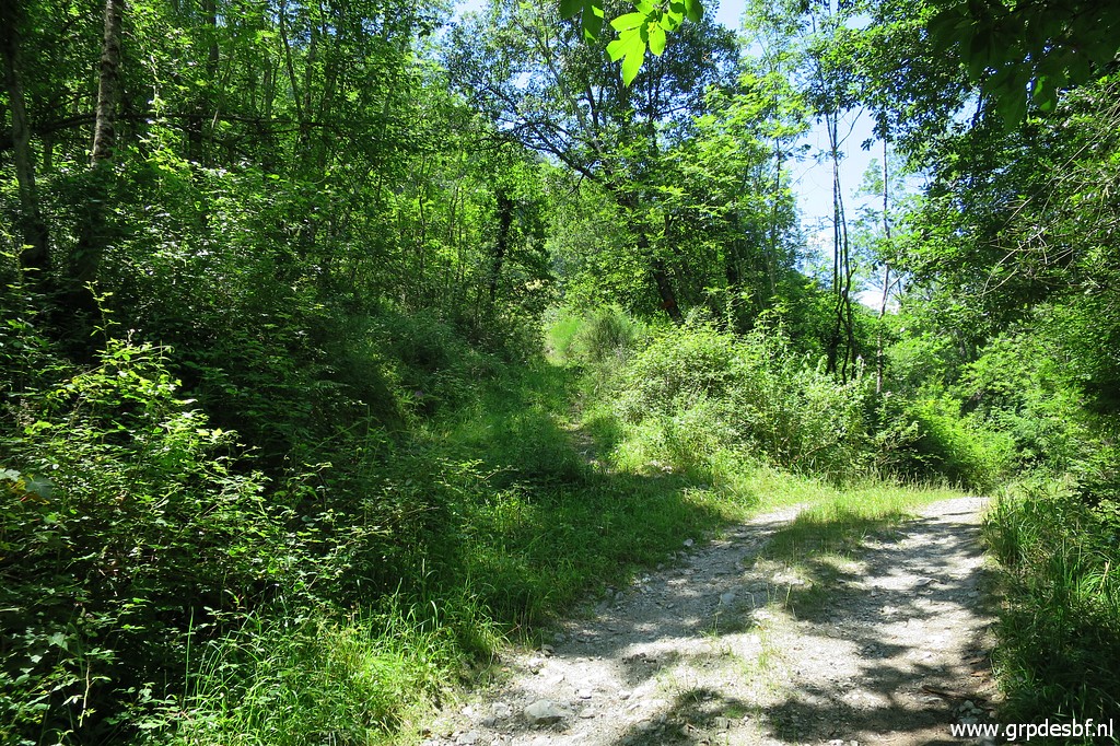
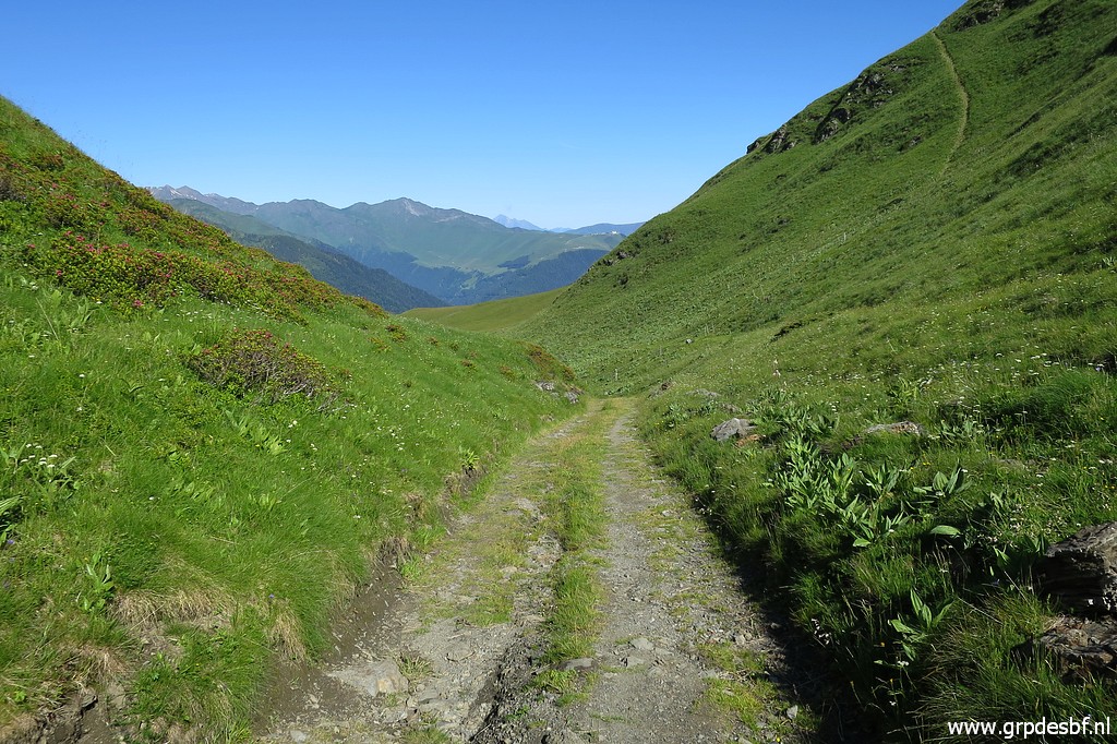 | The morning is bright and promising. My plan is to continue with my search for the missing 'bornes de paçage' between bm333 and 357. See this page for more information about them. This picture: from the Vallée de Roumingou - where I camped last night - I descend along the dirtroad (click photo to enlarge) |
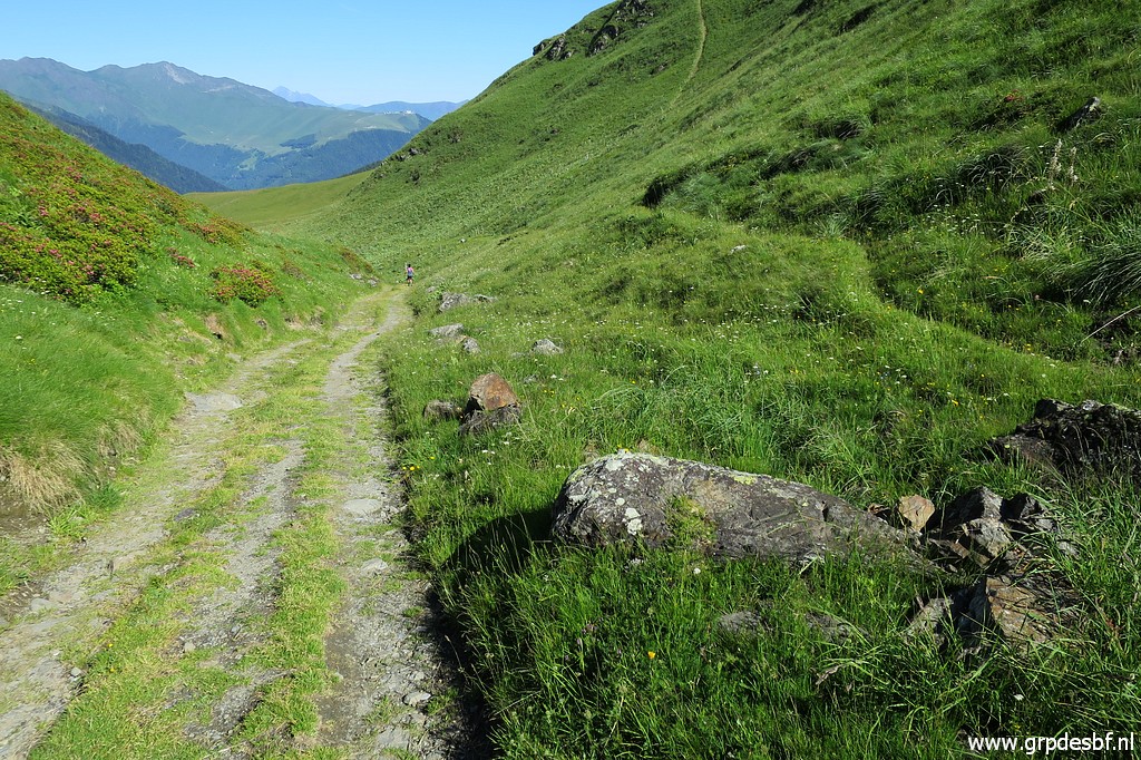 | and pass the rock with CI340. 'CI' means Croix Intermédiaire. It's on the straight line between bm340 and 341 and the cross was engraved in the 1950-ies as an additional marker. Why? On this dirtroad entering Spain, it is not obvious where you cross the border. (click photo to enlarge) |
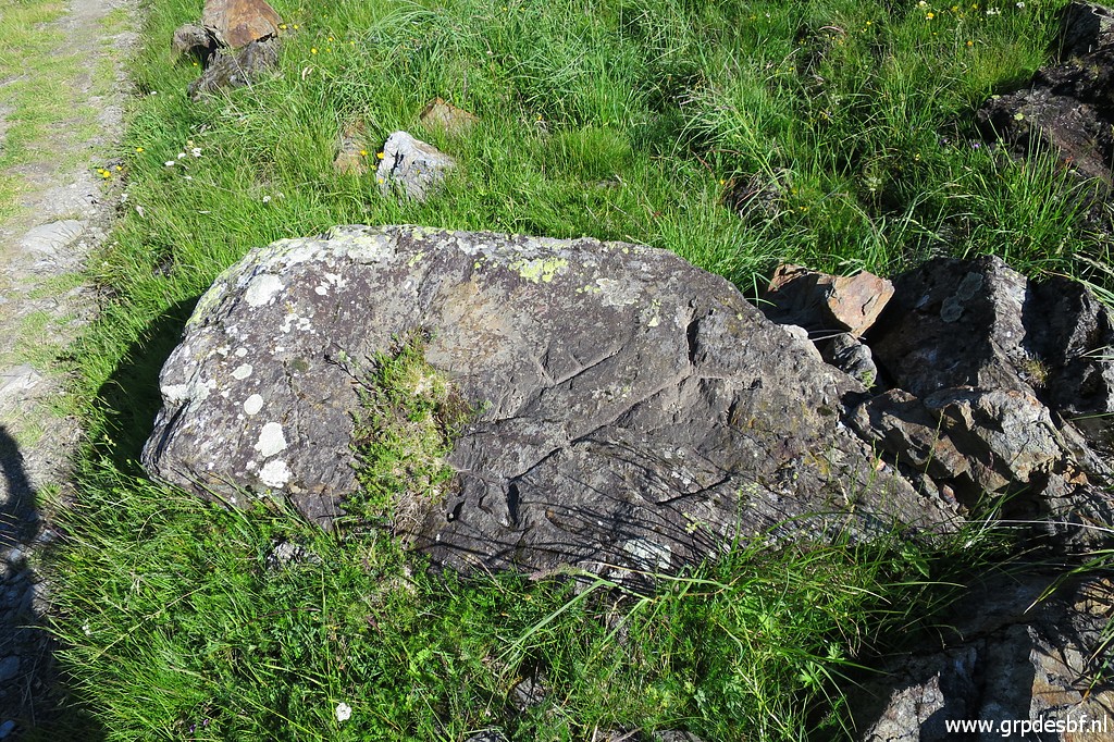 | CI340: there are engravings at the top (click photo to enlarge) |
 | and at its side. Then walkers pass by, ask me questions and another one happens to know very much of the bornes de paçage! It is Christophe Thomas, a local historian who is a connaisseur of the Spanish pastures on the French side of the border around here and of the 'bornes de paçages'. (click photo to enlarge) |
 | (this picture: Christophe continuing his walk after our conversation) He tells me that borne C (the one I couldn't find yesterday) still exists. He has maps at home and he promises to send me information and maps. And he mentions one Serge Brunet, another historian who has published a lot on this subject. (click photo to enlarge) |
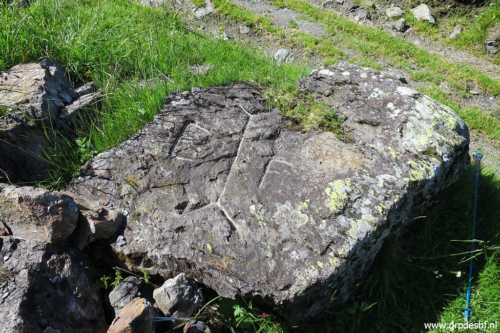 | When he has left, I conclude that it's better to return here after I have received his documentation. So I decide to stop right now and return to Hospice de France. But first a few other pictures of CI340. With chalk the engravings on top become much more clear. (click photo to enlarge) |
 | The same with the large cross (click photo to enlarge) |
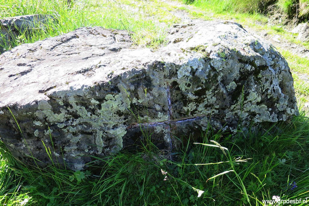 | at the side of CI340. (click photo to enlarge) |
 | CI340, looking back with the Vallée de Roumingou in the background. (click photo to enlarge) |
 | Then a nice & easy descent back to Hospice de France. I make picture of the terrain and trails which I explored yesterday. (click photo to enlarge) |
 | The steep passage of Pas de Ribesettes becomes more obvious on this first zoom-in. The 'bornes de paçages' E and F were placed above the Pas de Ribesettes. (click photo to enlarge) |
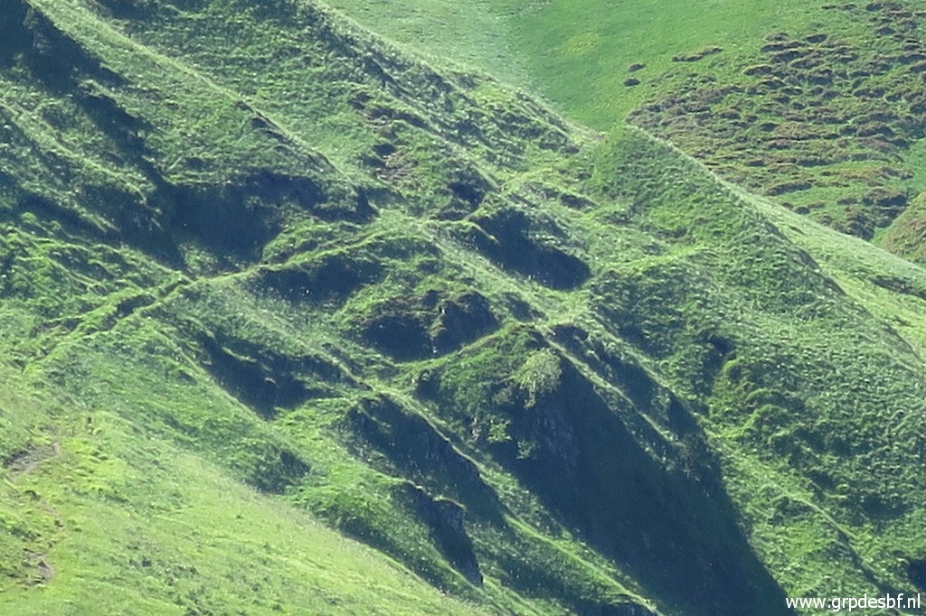 | Zoom in to Pas de Ribesetttes. (click photo to enlarge) |
 | The dirtroad makes at the bottom a bend to the right (to Cabane de Roumingou). The trail straight ahead descends to Hospice de France. (click photo to enlarge) |
 | Deep down, Hospice de France is already visible. (click photo to enlarge) |
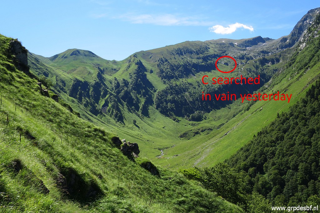 | On my way down, another viewpoint gives a good sight at the terrain of yesterday. Yesterday I concluded that the spot where I searched borne de paçage C was too low in respect to the mountainridge. Such a low position would have been mentioned in the accounts of border-commissioner Jean Sermet. He leaded the reinstallment of the bornes de paçages in the 1950-ies (click photo to enlarge) |
 | Arriving at Hospice de France. (click photo to enlarge) |
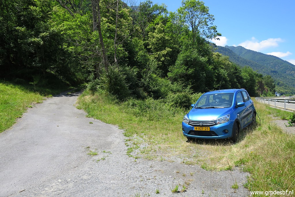
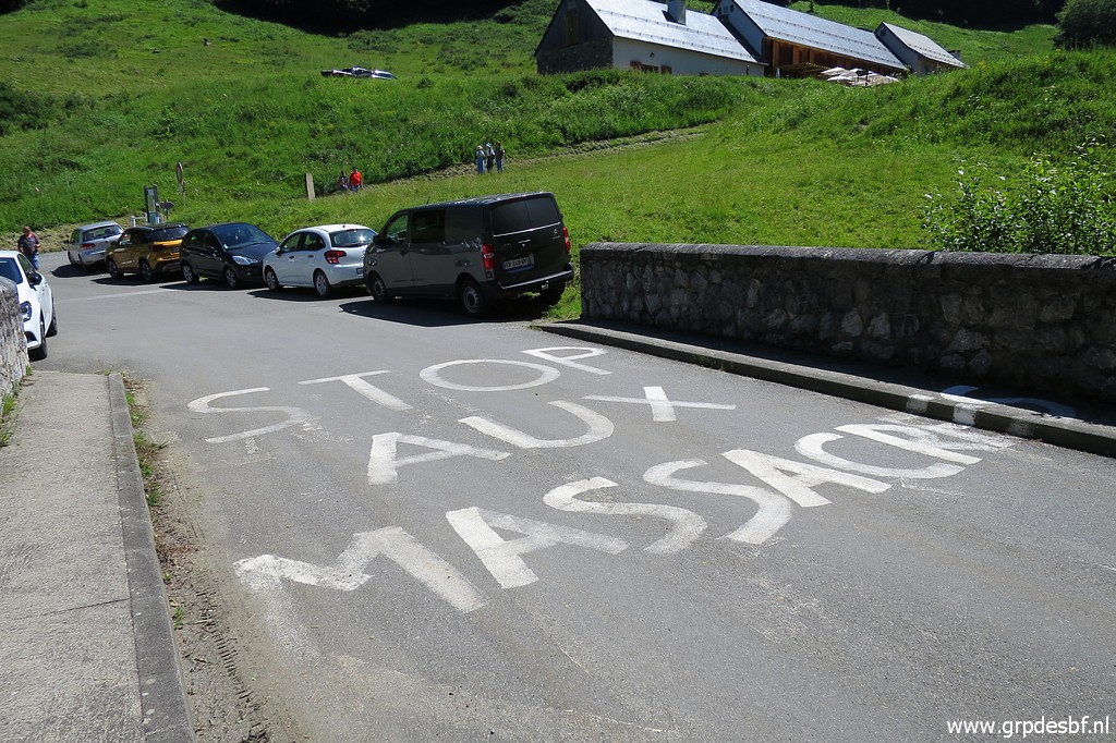 | A shepherd's protest against the reintroduction of bears in the Pyrenees (I think). At my car I reorganise my backpack and drive to Fos. (click photo to enlarge) |
TRIP 2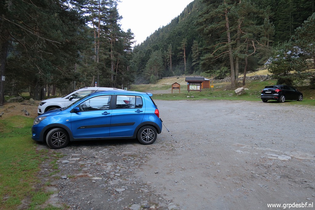 track-20200621-trip2.kml (click to open this trip in Google Earth or copy link to Google Maps; click right on this link to download gpx-version). The gps-track has not been manually corrected which explains the inaccuracy and misalignment at some points. For cartographic backgrounds: see the cartography-page Gps-waypoints of all bordermarkers (most recent version): kml: esfr-bordermarkers-all-waypoints.kml gpx: esfr-bordermarkers-all-waypoints.gpx (with elevation added by gpsvisualizer.com) |
|
 |
According to Garmin
Basecamp (uncorrected track): Distance: 8,4 km Max-height: 1450m Min-height: 554m Elevation: +972m -342m Total elevation: 1314m Start 13:57 Finish 18:24 Total time: 4:27 |
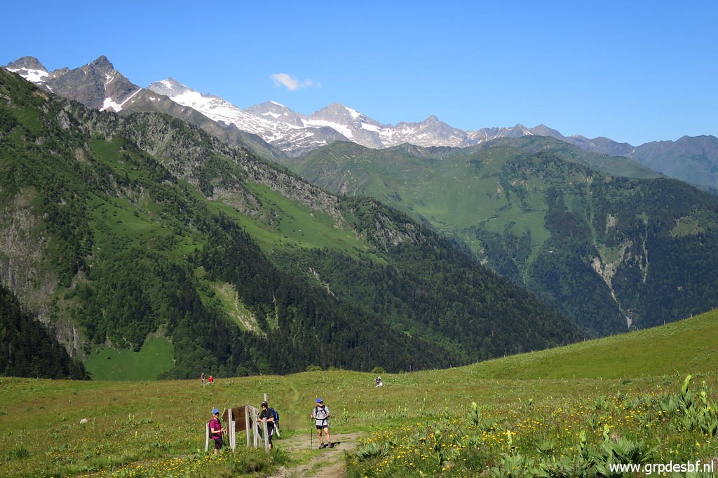
 | Parking my car at the start of the trail to Cabane de Herechet, (click photo to enlarge) |
 | though that start from the dirtroad is not that obvious. Well it's here - the trail entering the green roadside - and within 50m you will pass underneath a large electricity pole and from there the trail is distinct. (click photo to enlarge) |
 | This cross is a remembrance of the deadly fall of a walker. (click photo to enlarge) |
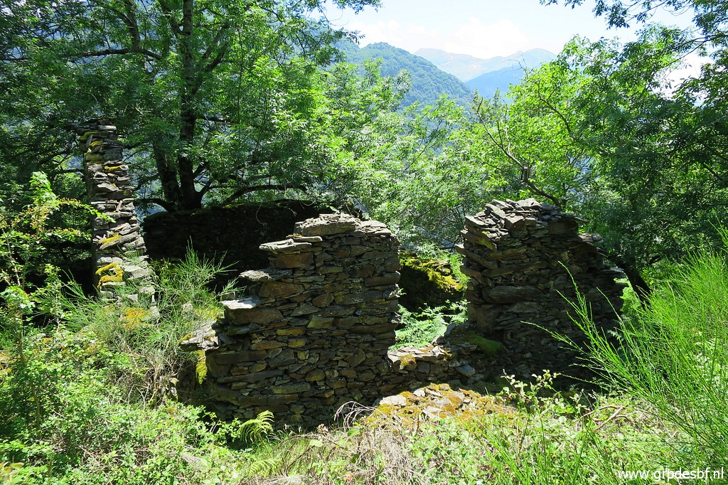 | Later on passing ruines (click photo to enlarge) |
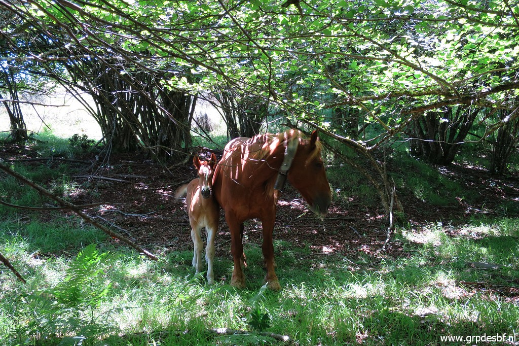 | and some horses which I will see back next morning at the cabane. (click photo to enlarge) |
 | Passing between the small twin lakes of Sasplays. (click photo to enlarge) |
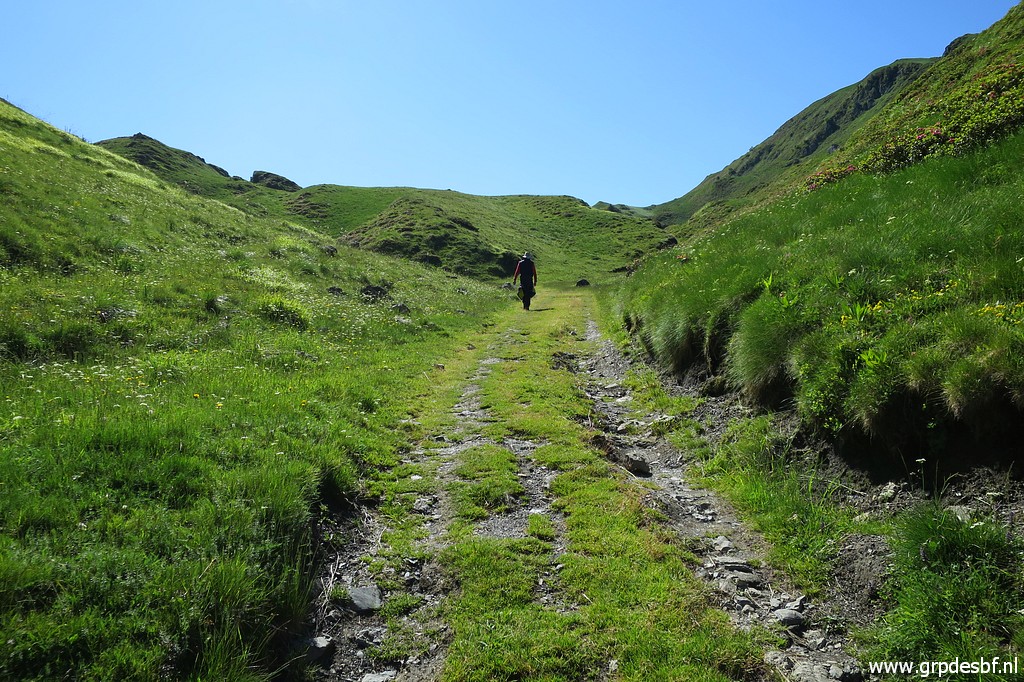
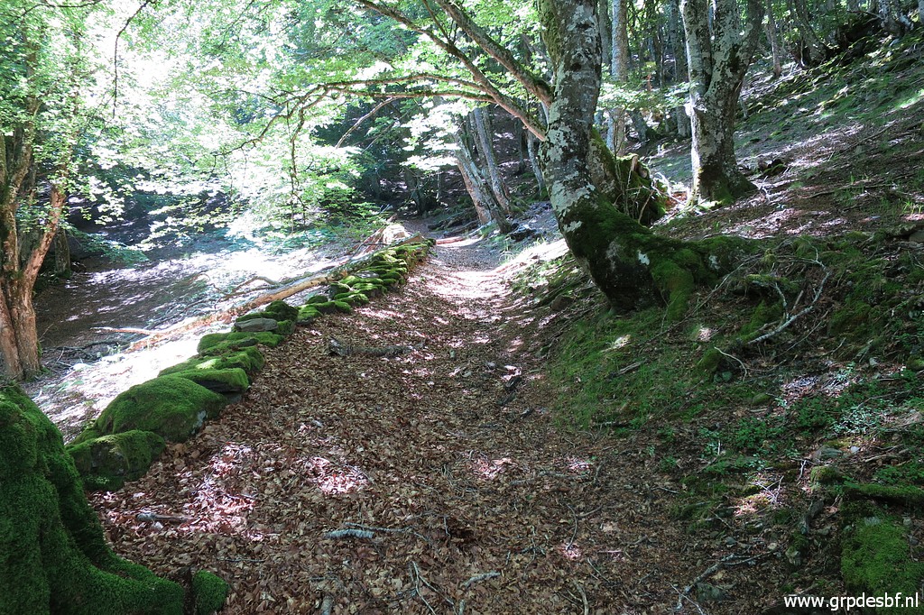
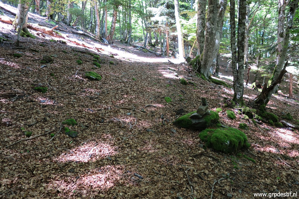
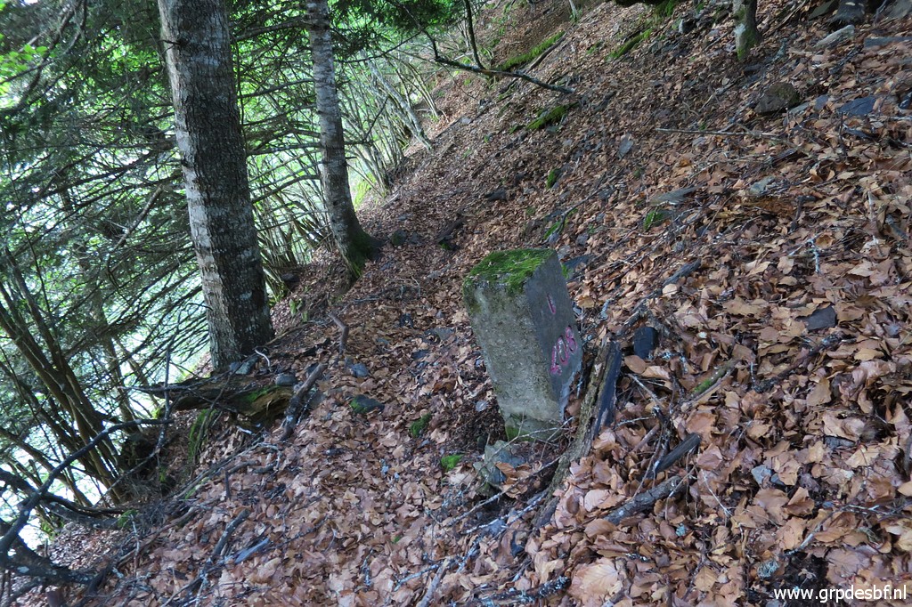
 | There are more cairns indicating the trail than I remembered. (click photo to enlarge) |
 | After 1,5 hours arriving at Cabane de Herechet. (click photo to enlarge) |
 | First a check of the water-supply. The rubber hose has been repaired providing fresh water again. No need to get water at the stream in the forest. (click photo to enlarge) |
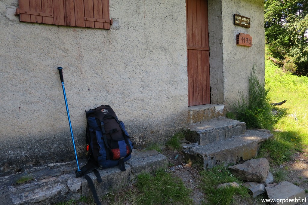 | My backpack for this one-night's trip. (click photo to enlarge) |
 | Inspection of the well-equipped cabane: including half a bottle of whisky. (click photo to enlarge) |
 | I leave some stuff at the cabane and continue to bm408I-IV. Behind the cabane this trail starts, climbing and (click photo to enlarge) |
 | becoming fainter but cairns help. (click photo to enlarge) |
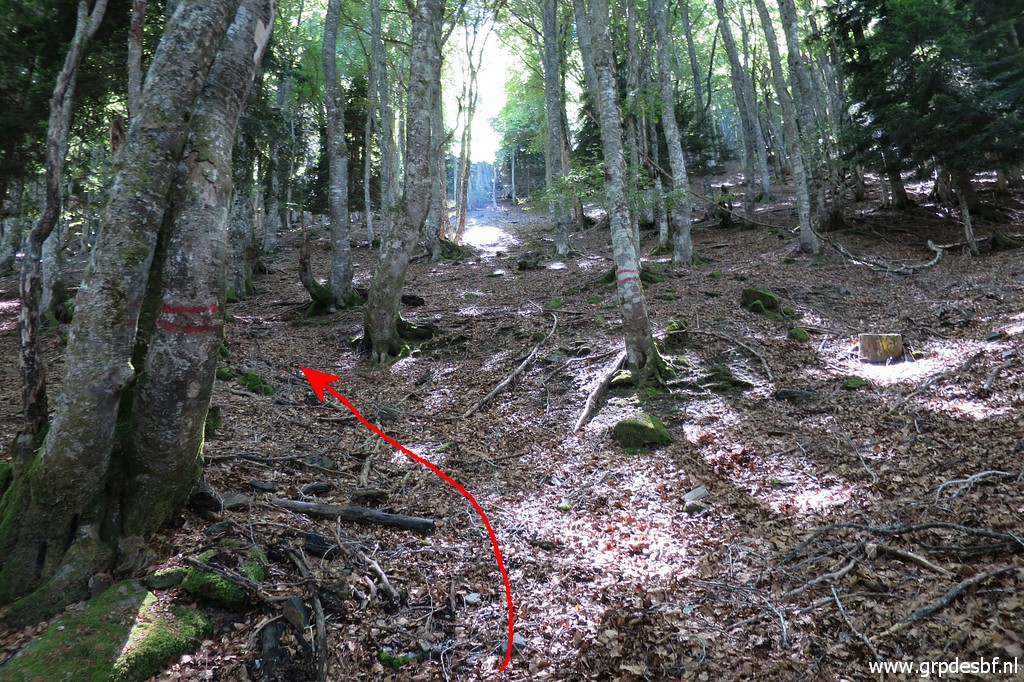 | A crucial point: here you have to go left. There are double red stripes on two trees. (click photo to enlarge) |
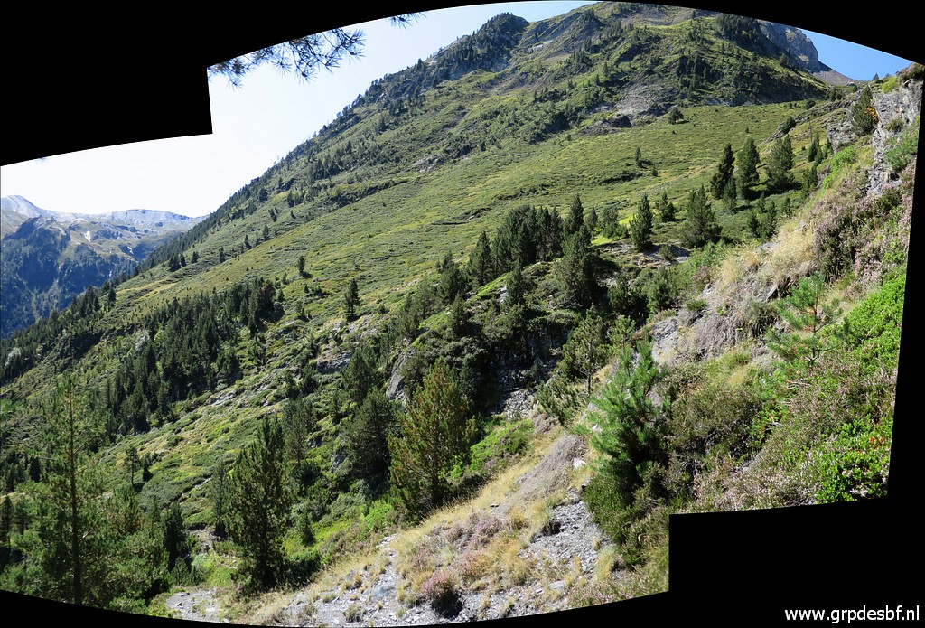
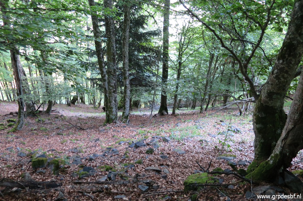
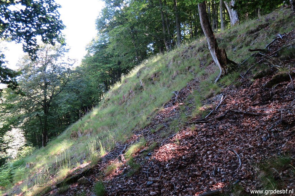 | The trail along the hillside - still climbing - is faint but recognizable. I keep an eye on the upper hillside to see if there is an easy access to a higher level. That might be a better way to access bm408I. All this as a preparation for a trip together with Carlos & Conchita Roca in the future. But it gets too steep everywhere to be an alternative. Meanwhile I pass this open space and (click photo to enlarge) |
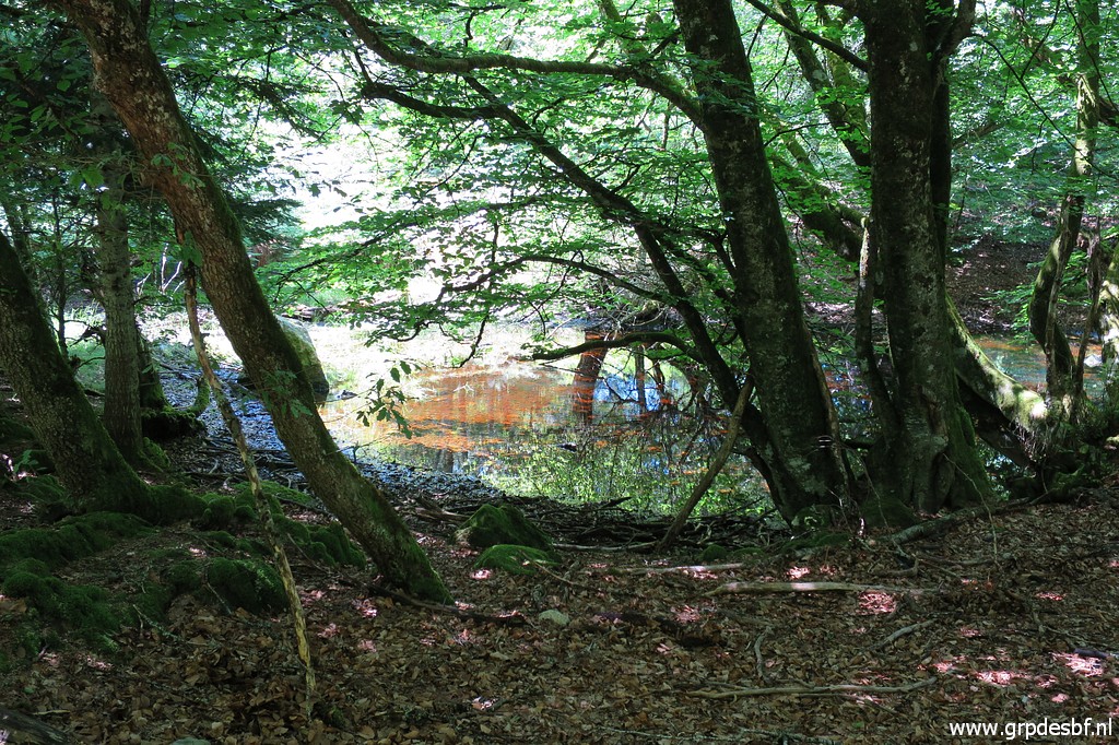
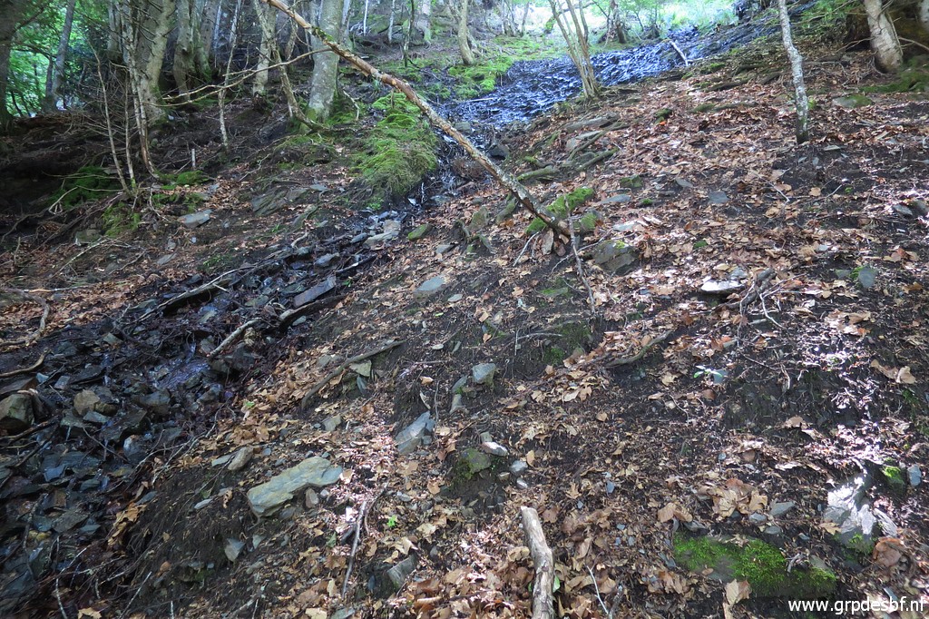
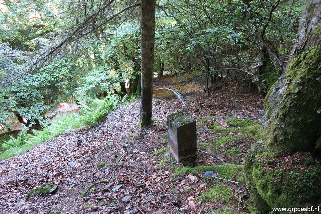
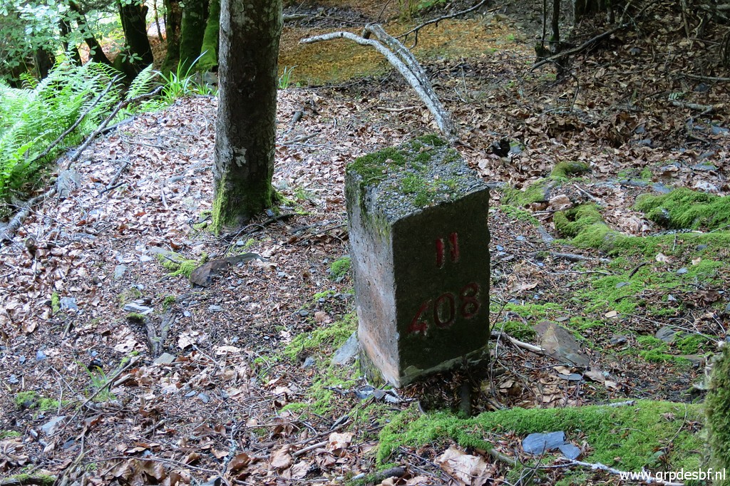
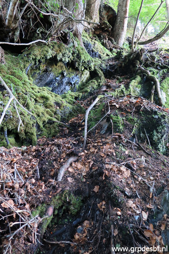
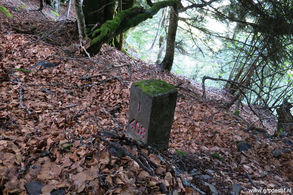
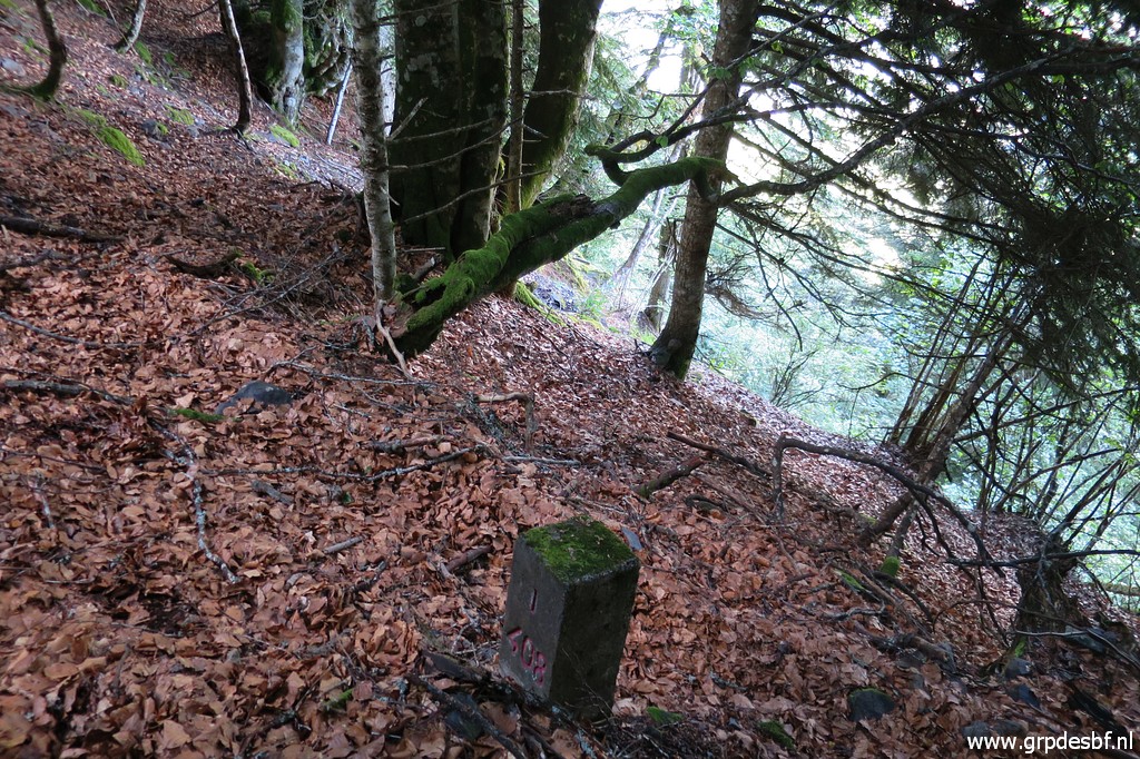
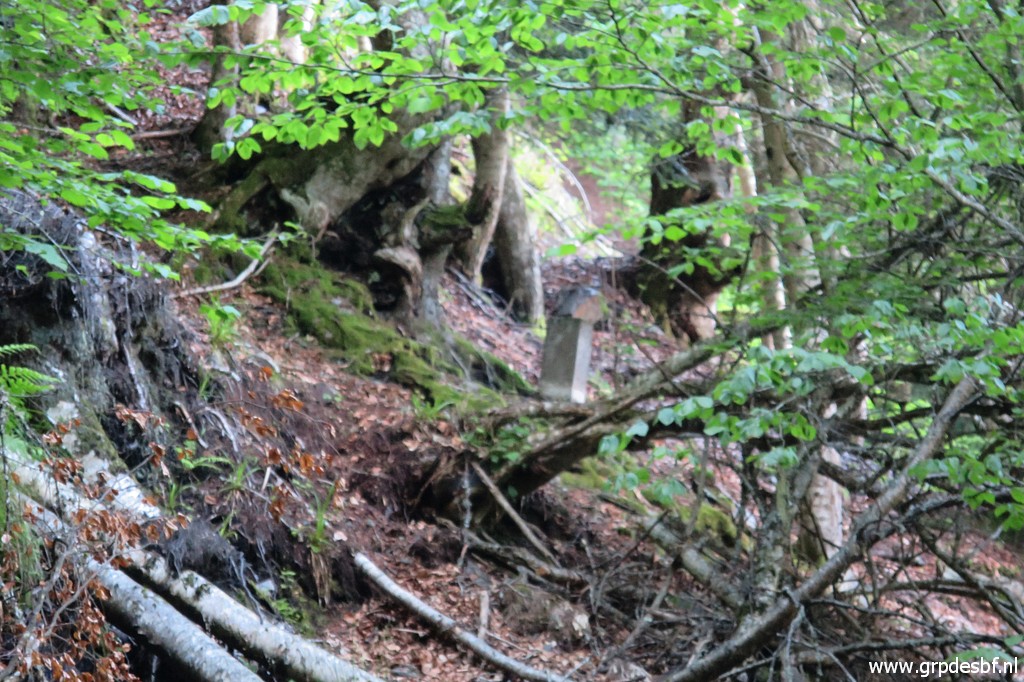
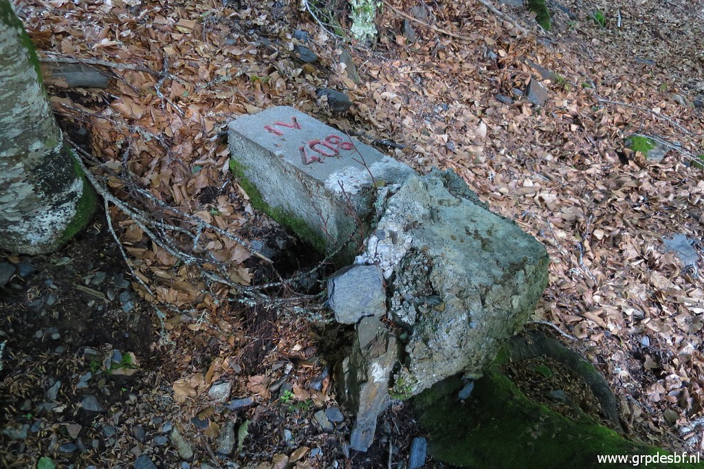
 | later on get to another open spot with fern. That is the place to be. It's the streambed of a small steep stream along which bm408I to bm408IV were placed in 1969. See this page for the history of and discussion about these submarkers. Bm408III is the first to cover. (click photo to enlarge) |
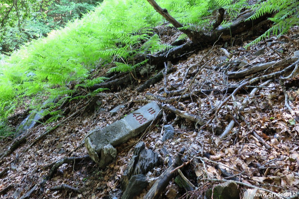 | Bm408III was only discovered in may 2028, having slided down from its original place. See this page how Michel Molia's son Xabia discovered this one and bm408IV. (click photo to enlarge) |
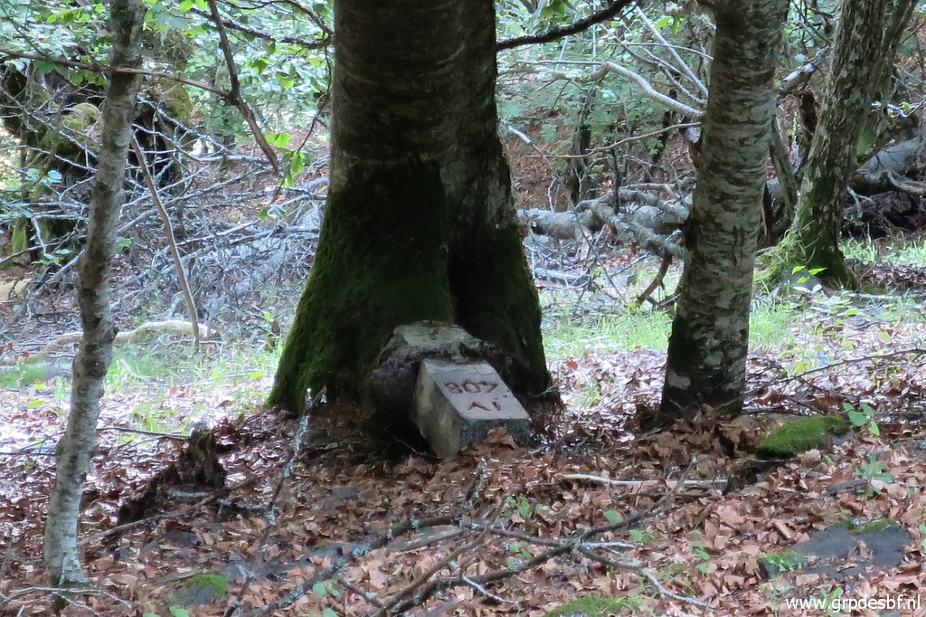
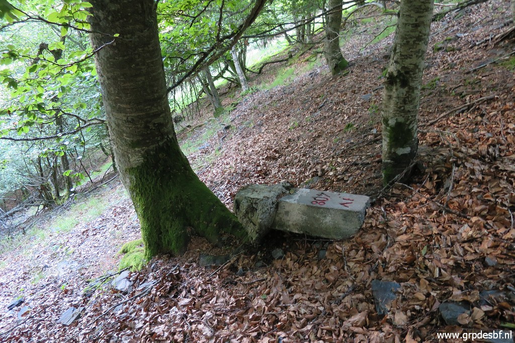
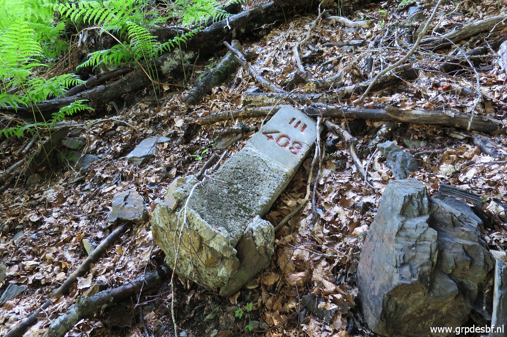 | Bm408III (click photo to enlarge) |
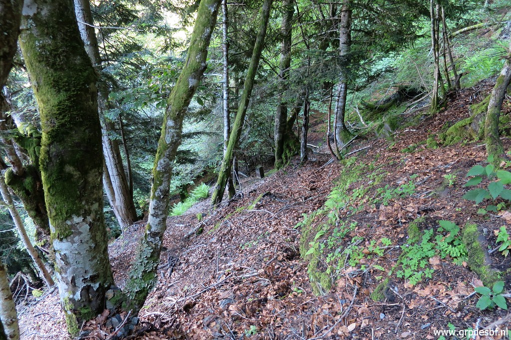
 | Now climbing uphill along the stream towards bm408II. It gets quite steep and (click photo to enlarge) |
 | then bm408II becomes visible. (click photo to enlarge) |
 | Zoom-in to bm408II (click photo to enlarge) |
 | Bm408II (click photo to enlarge) |
 | Bm408II (click photo to enlarge) |
 | Bm408II Straight ahead uphill along the stream is not easy. Fallen trees are blocking the way up and the very steep hillside is not a place to slip or fall. (click photo to enlarge) |
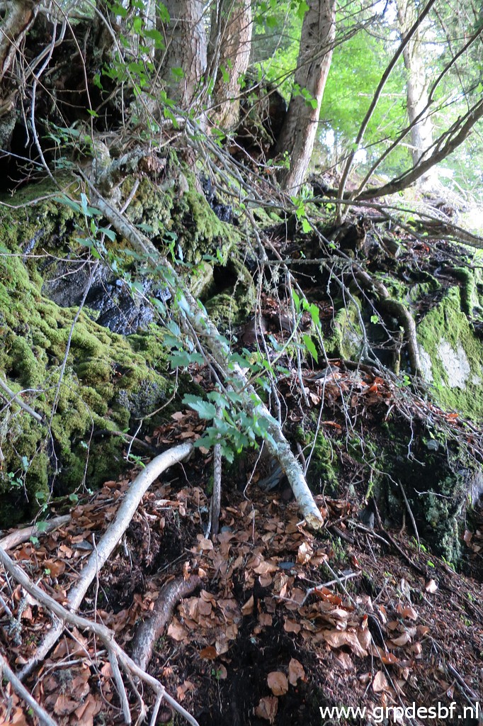
 | But I remember a ledge at the right side leading up. Also covered with fallen branches but it is manageable. (click photo to enlarge) |
 | But higher on the rockwall to the left is steep and also risky. (click photo to enlarge) |
 | I return to the beginning of the ledge. You can spot bm408II down below between the trees. (click photo to enlarge) |
 | The conclusion is that straight uphill is the only way to get to bm408I. But I need to clear the 'path' uphill with a pruning shears and a pruning saw. This picture: a first difficult passage, an abyss to its right. (click photo to enlarge) |
 | But after cleaning up it becomes more safe. (click photo to enlarge) |
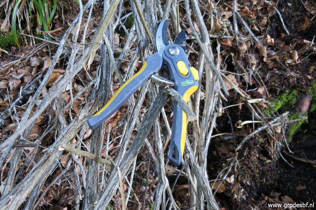 | My indispensable (click photo to enlarge) |
 | tools. (click photo to enlarge) |
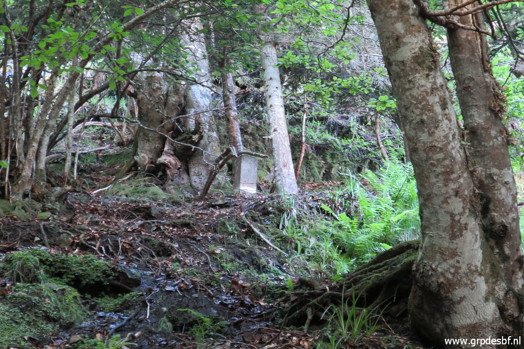
 | And after this passage and some addtional cleaning uphill I reach bm408I. (click photo to enlarge) |
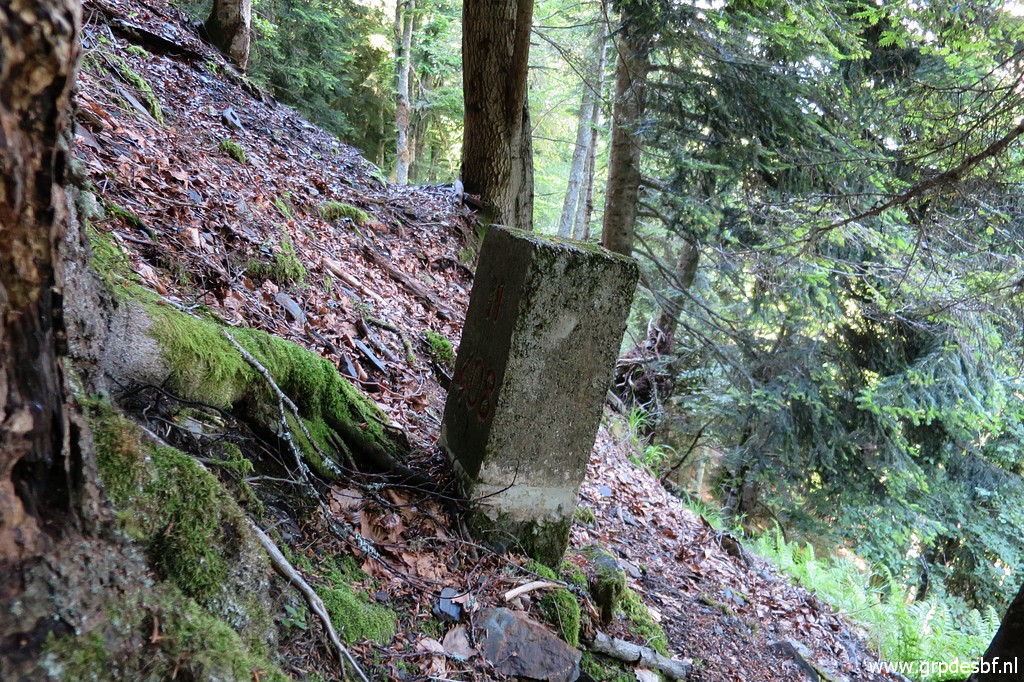
 | Bm408I (click photo to enlarge) |
 | Bm408I I am content and descend - more easily than I thought, enough trees and branches on tricky parts to cling to - back to (click photo to enlarge) |
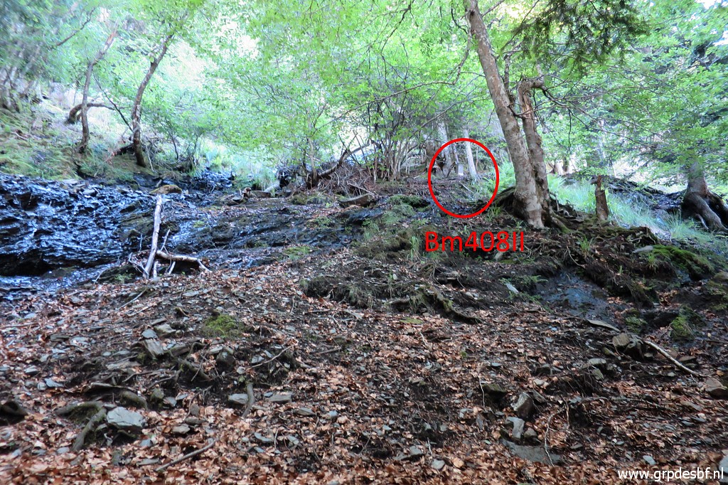
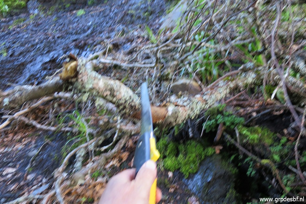
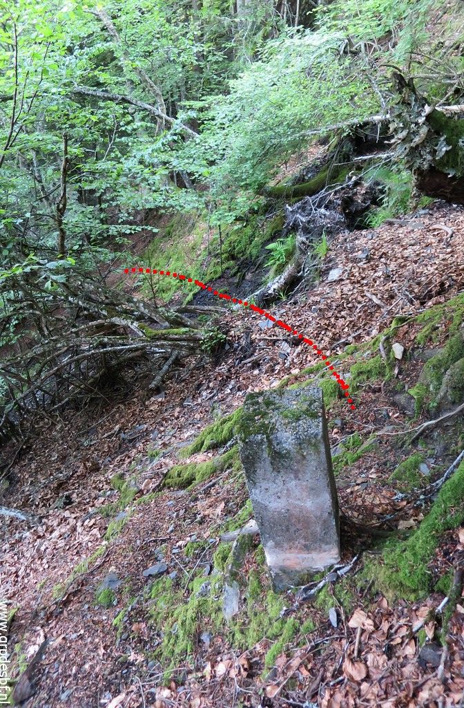 | bm408II. There I see that there is a more easy approach to bm408II from the other side of the stream. The red dotted line shows how I cross the stream. (click photo to enlarge) |
 | The crossing of the stream in more detail. (click photo to enlarge) |
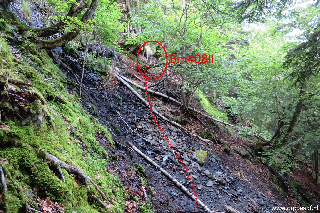 | The same crossing, now seen from the other side with bm408II in the red circle. (click photo to enlarge) |
 | Zoom-in to bm408II (click photo to enlarge) |
 | I am back at the beginning of the climb. The stream disappears there to reappear later on. Now I descend to bm408IV which has slided down the hillside and is (click photo to enlarge) |
 | stopped by a tree. (click photo to enlarge) |
 | Bm408IV (click photo to enlarge) |
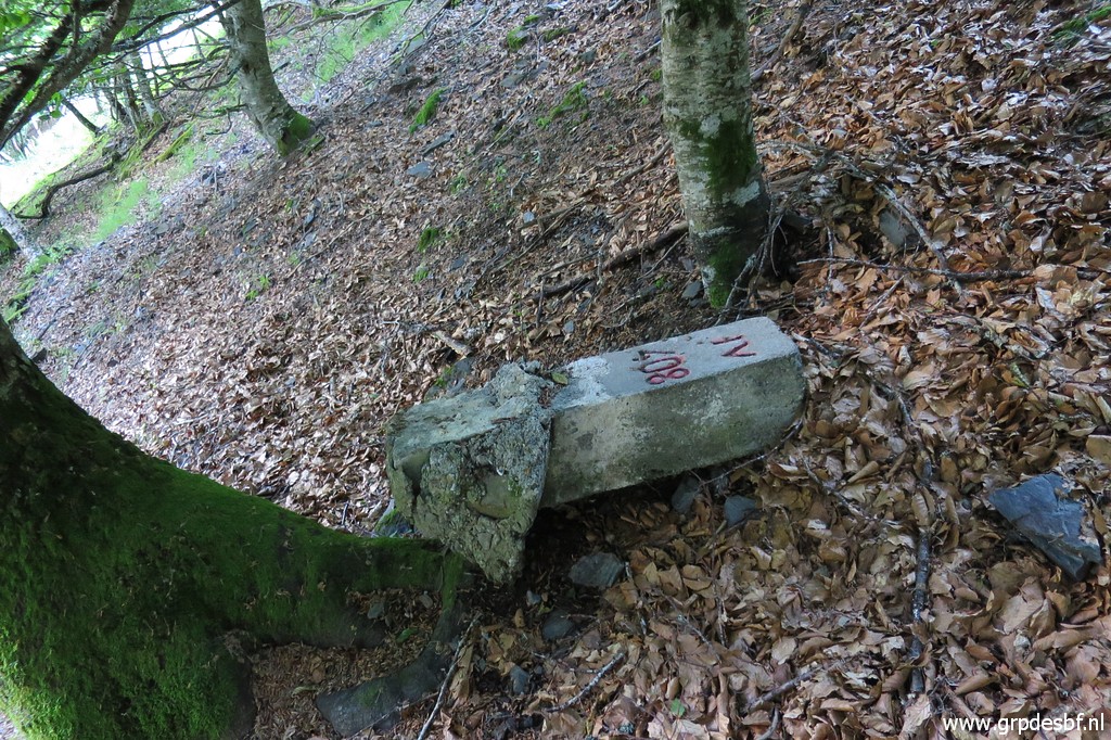 | Bm408IV (click photo to enlarge) |
 | Bm408IV (click photo to enlarge) |
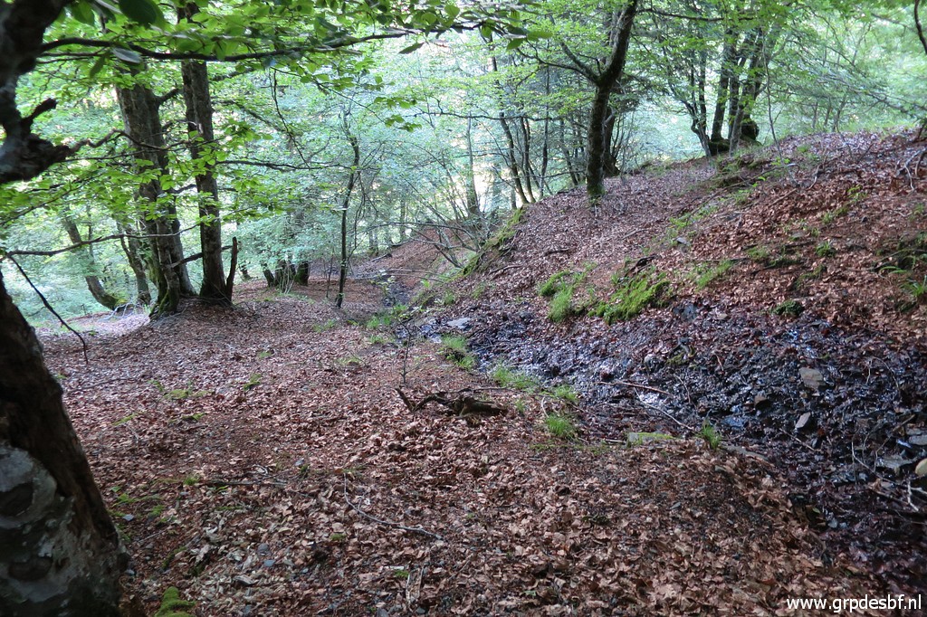 | A bit lower, the stream reappears and descends a bit longer until it drops very steeply. There is route from there back to the Cabane d'Herechet but I can't find it. So I climb back uphill and return the same way as I came. (click photo to enlarge) |
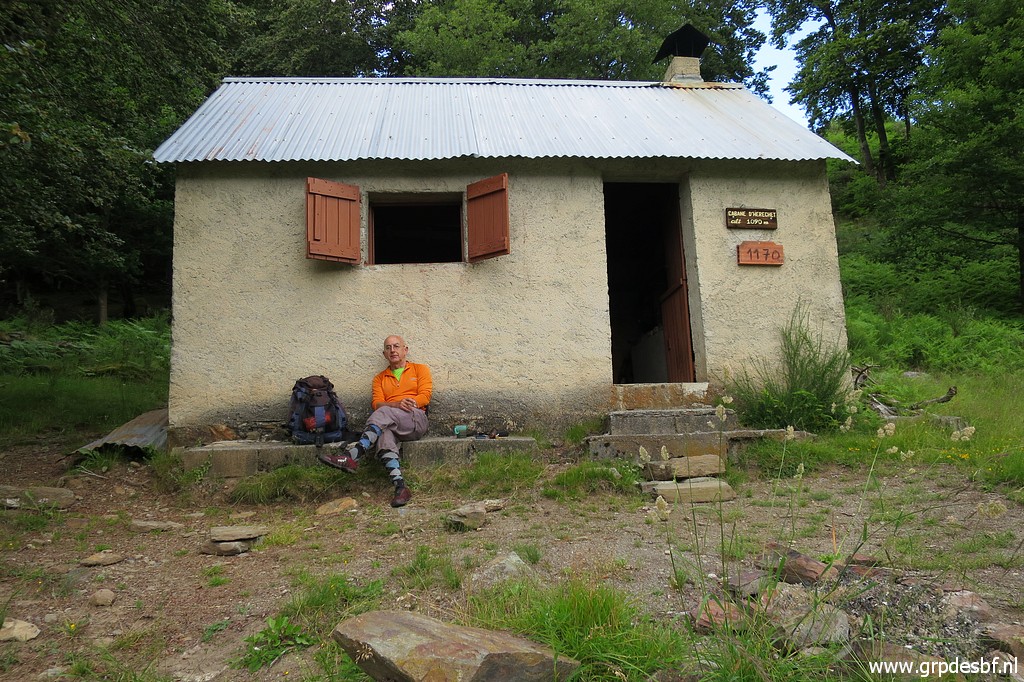 | Back at Cabane d'Herechet at 18:30. The trip to bm408I-IV from the cabin took me ± 3h. I have been here many times but never slept here. (click photo to enlarge) |
 | And
that is what I want to do finally. I spent the night with enjoying the
views outside, writing my log, whatsapping (cellphone coverage!),
sipping whisky and finally going to bed. (click photo to enlarge) The next day I return to my car and drive to the Basque country, to Dantxarria. |