|
The
bordermarkers of the Pyrenees : all my trips
 |
|
| -
saturday 27 june
2020 - Redoing 001 |
 |
 |
Summary:
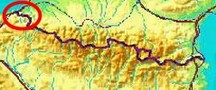
part of a series of 6 trips in june 2020 near Luchon and in the Basque
country. This is trip 6, the last one. Today: before I drive home, I visit once again bm001. Weather: cloudy |
 track-20200627.kml
(click to open this trip in Google Earth or copy link to Google Maps; click right on this link to download gpx-version). The gps-track has not been manually corrected which explains the inaccuracy and misalignment at some points. For cartographic backgrounds: see the cartography-page Gps-waypoints of all bordermarkers (most recent version): kml: esfr-bordermarkers-all-waypoints.kml gpx: esfr-bordermarkers-all-waypoints.gpx (with elevation added by gpsvisualizer.com) |
|
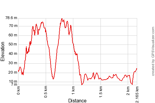 |
According to Garmin
Basecamp (uncorrected track): Distance: 2,5 km Max-height: 69m Min-height: 11m Elevation: +136m -134m Total elevation: 270m Start 7:40 Finish 9:00 Total time: 1:20 |
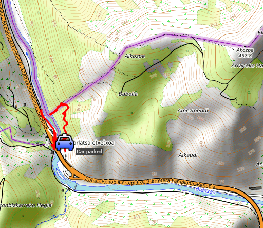
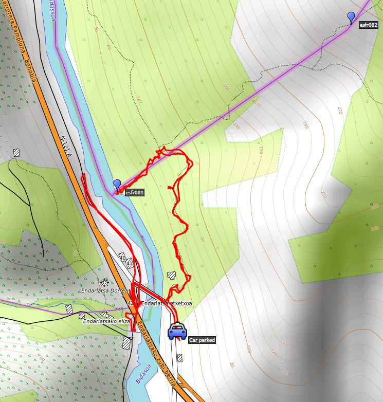
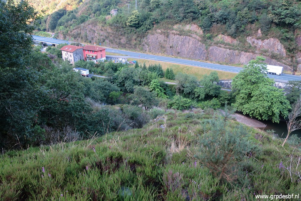
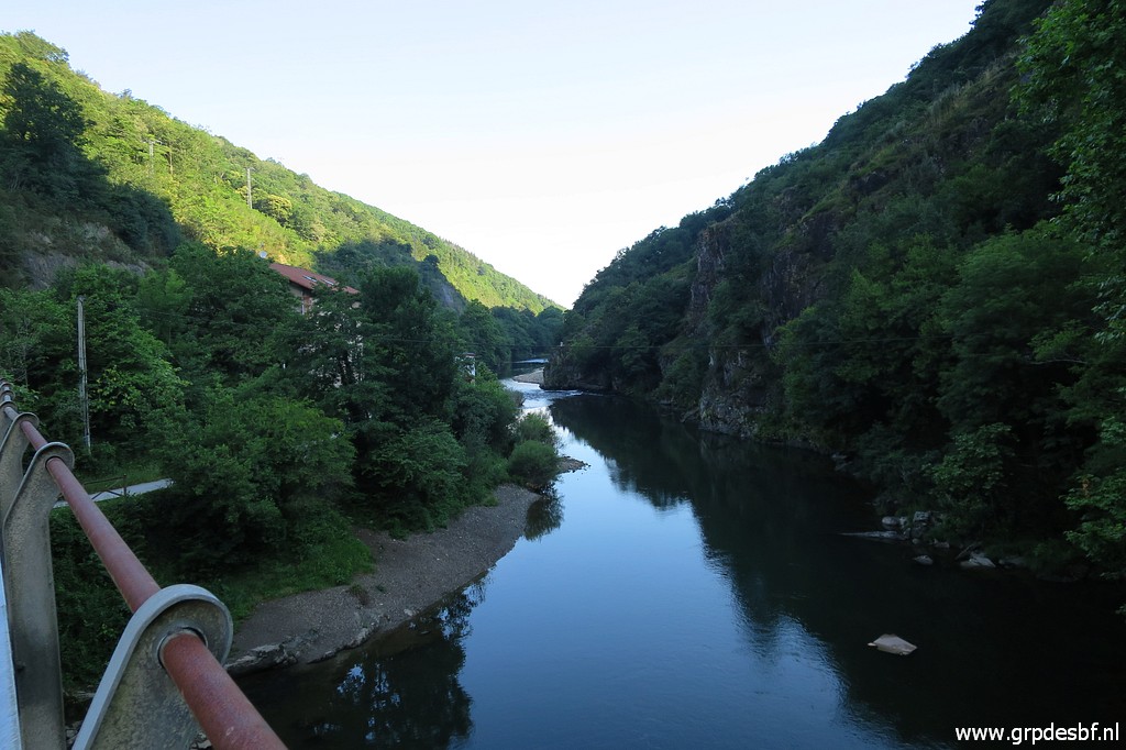
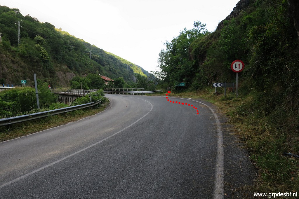 | Departure from the camping in Dantxaria at 7 am. Driving to this old bridge over the Bidasoa-river. The red line shows how to get on the trail to bm001. (click photo to enlarge) |
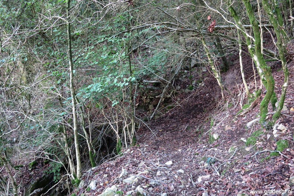
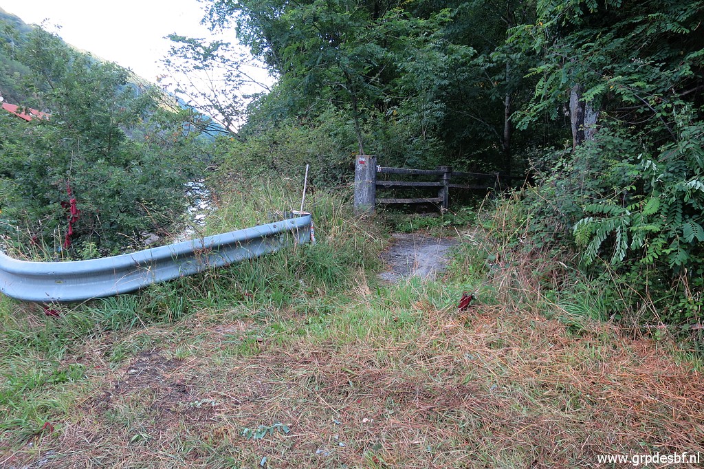 | An obvious path (click photo to enlarge) |
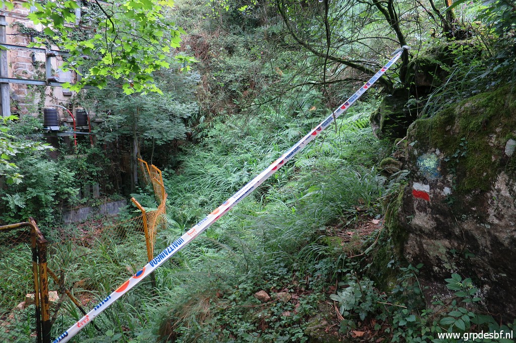
 | but 'blocked' for an unknown reason by this ribbon. Never mind, just step over it. (click photo to enlarge) |
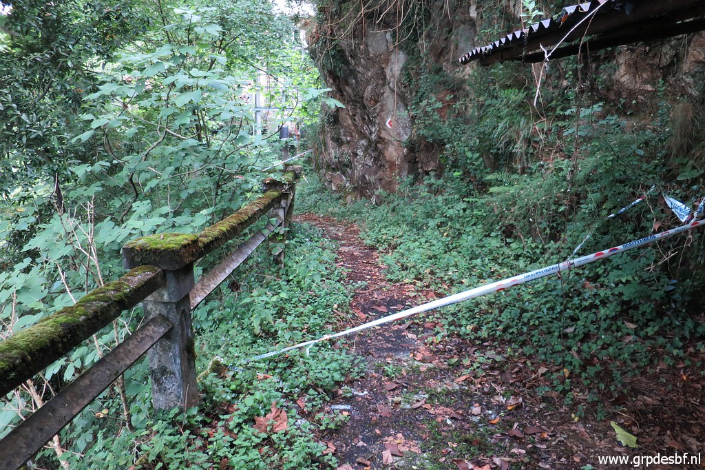
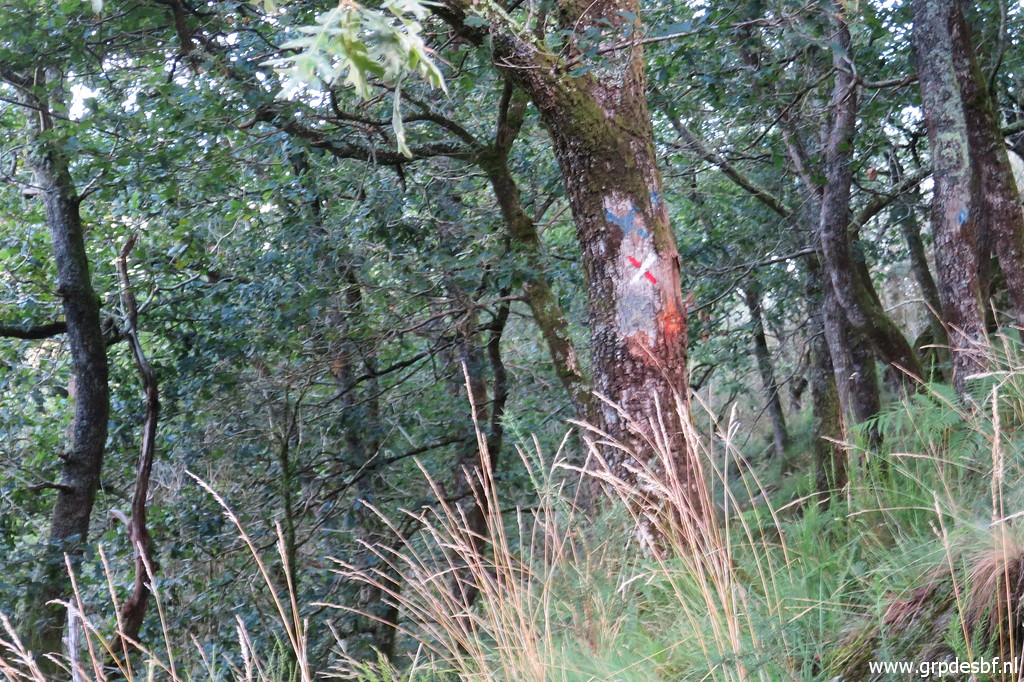
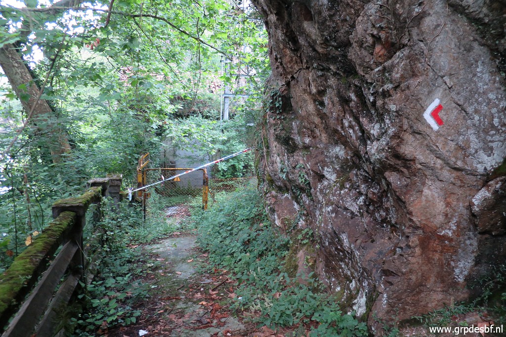 | Note the red-white waymarks (click photo to enlarge) |
 | The trail climbs, (click photo to enlarge) |
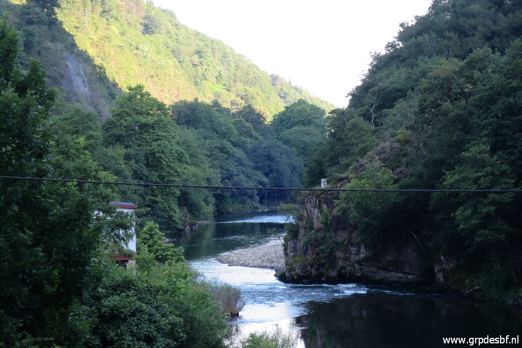
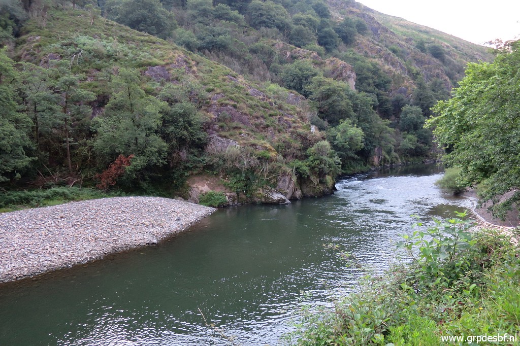
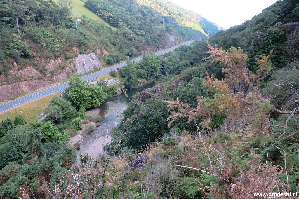 | giving this view to the river and road and (click photo to enlarge) |
 | makes a semi-circle (click photo to enlarge) |
 | to arrive further at this point. (click photo to enlarge) |
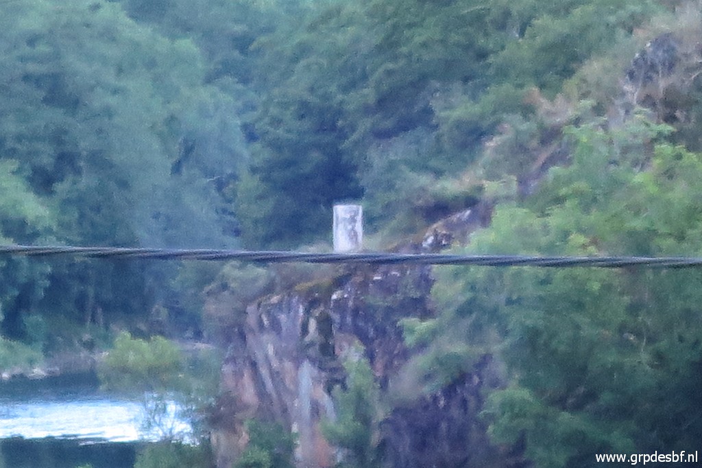
 | Zoom-in: red-white cross, still the trail continues in about that direction parallel to the river. (click photo to enlarge) |
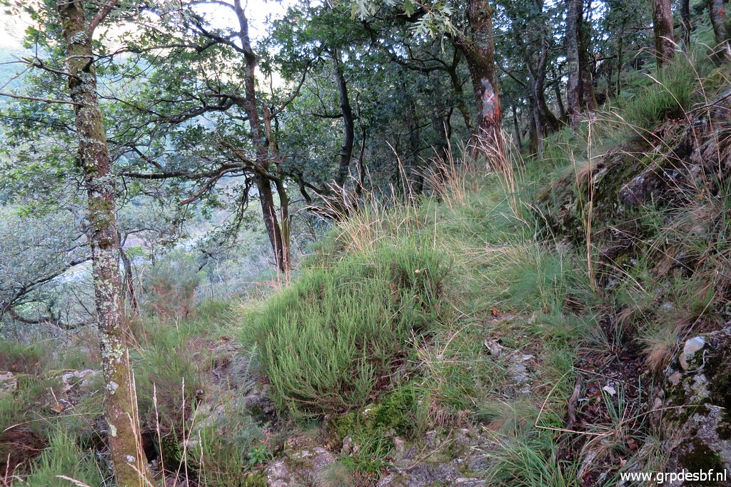
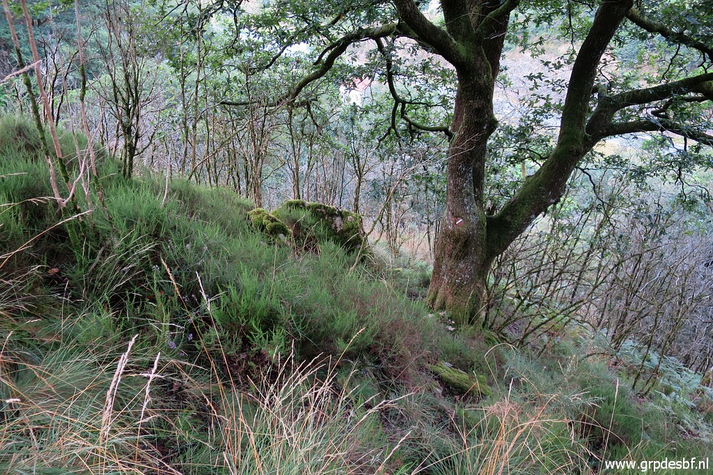 | But this is the spot where you have to turn left to descend SW to bm001. Note the rock. (click photo to enlarge) |
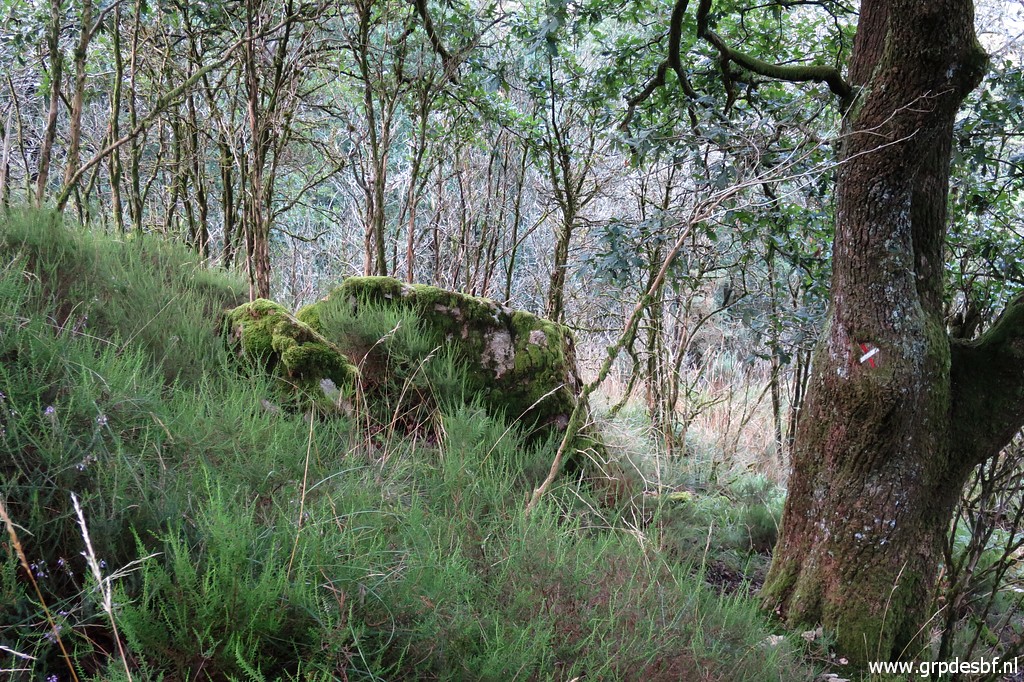 | Zoom-in to the rock and a red-white cross on the tree. Descend between rock and tree (click photo to enlarge) |
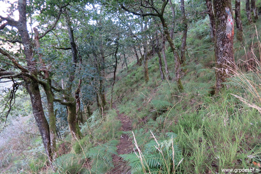 | on this trail which leads (click photo to enlarge) |
 | to this hillside with (click photo to enlarge) |
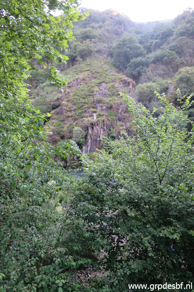
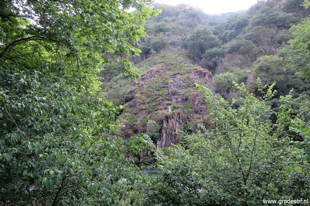
 | soon bm001 in sight. (click photo to enlarge) |
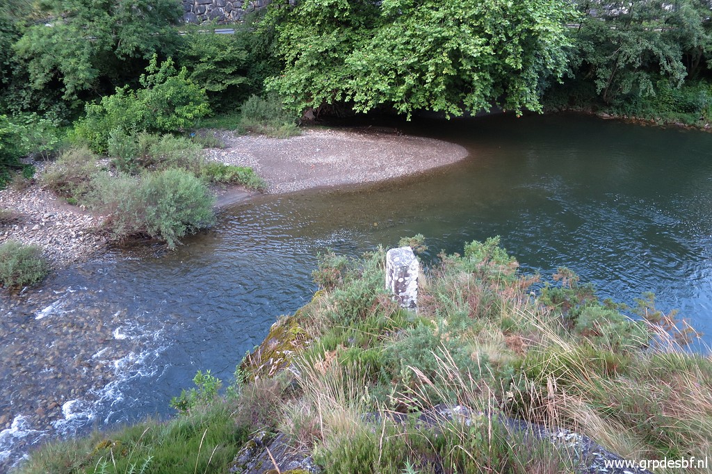
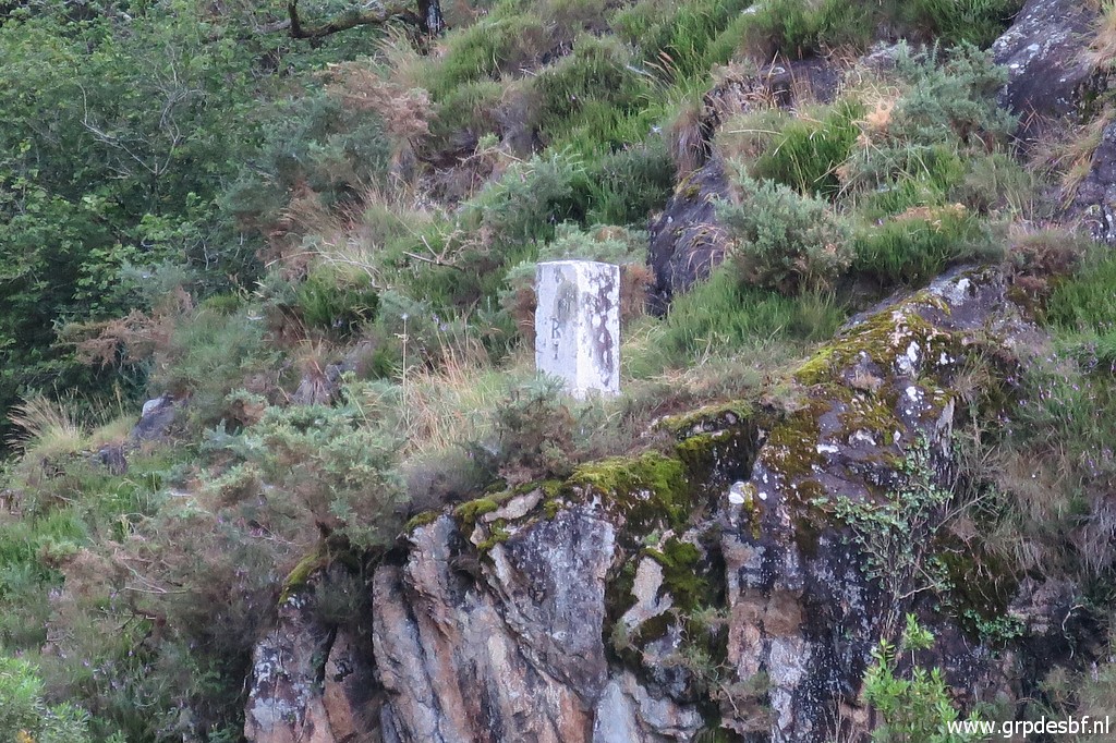
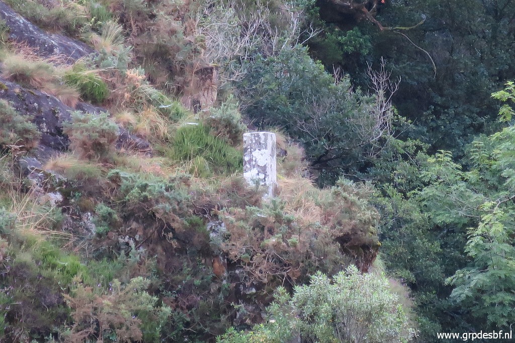
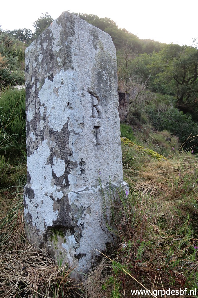 | Bm001, a bit difficult to photograph the number without falling off the ridge into the river. (click photo to enlarge) |
 | Bm001, last picture. I return the same way, back to the road. This trip hence and forth to bm001 took me ± 1 hour. (click photo to enlarge) |
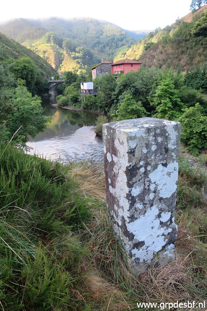
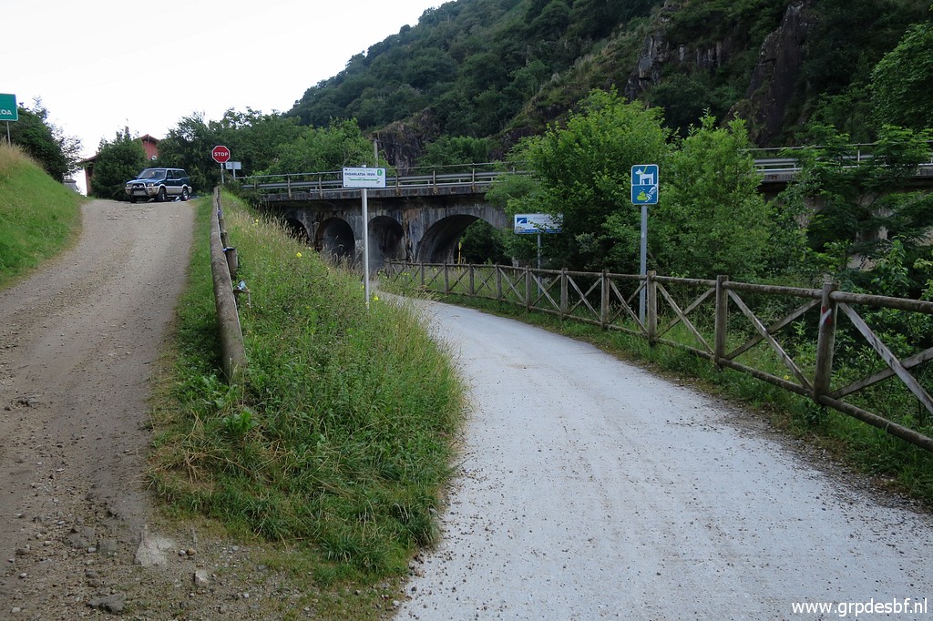
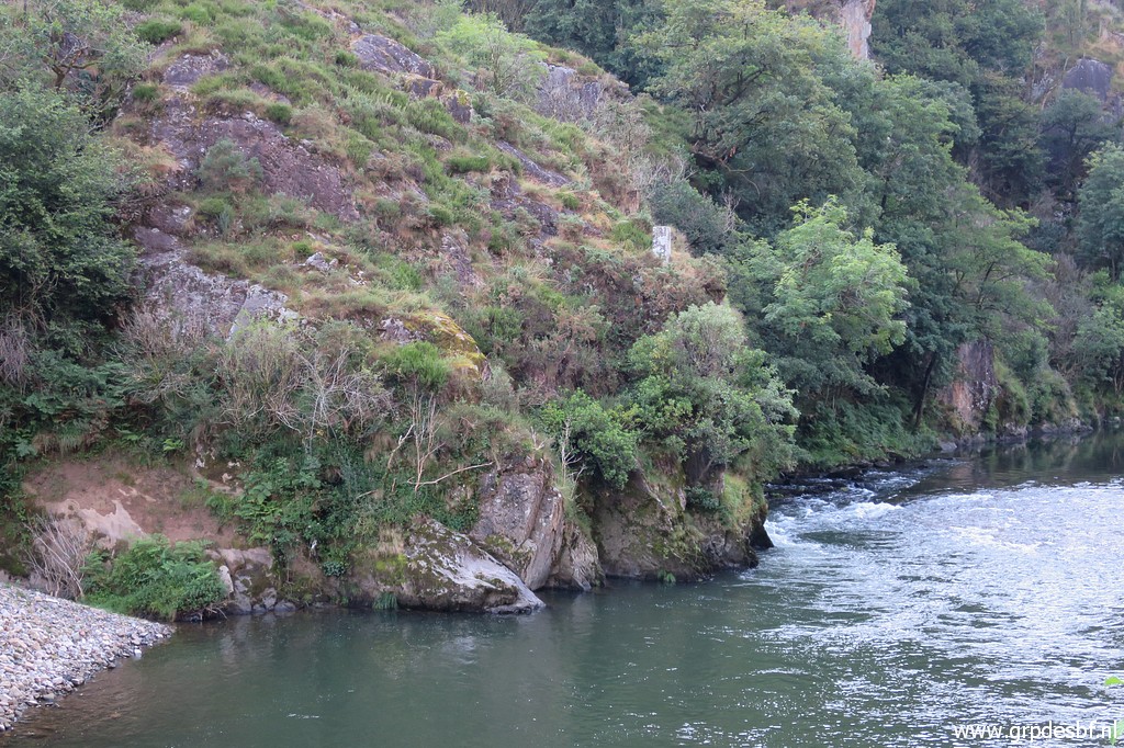
 | From the bridge (click photo to enlarge) |
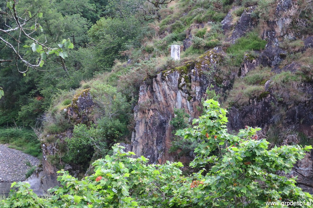
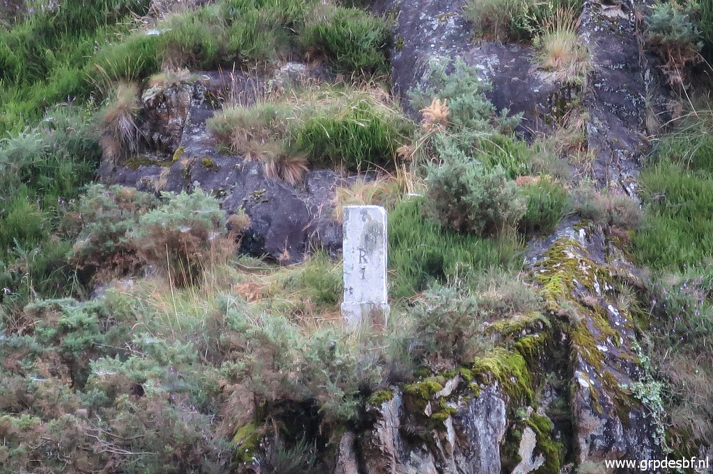
 | this zoom-in to bm001. (click photo to enlarge) |
 | Bm001 (click photo to enlarge) |
 | This is a cycle track from Irùn along the river, in the background the old bridge. This is in fact an alternative route from Hendaye / Irùn towards bmoo1. From bm001 one might climb directly along the hillside to bm002. A steep climb of about 300m elevation. (click photo to enlarge) |
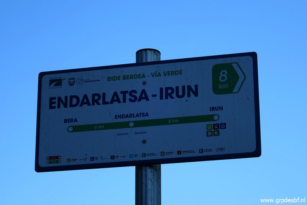 | The cycle track is part of a much longer cycle track (click photo to enlarge) |
 | on a former railway line. (click photo to enlarge) |
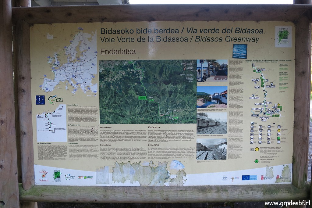
 | This explains the project and (click photo to enlarge) |
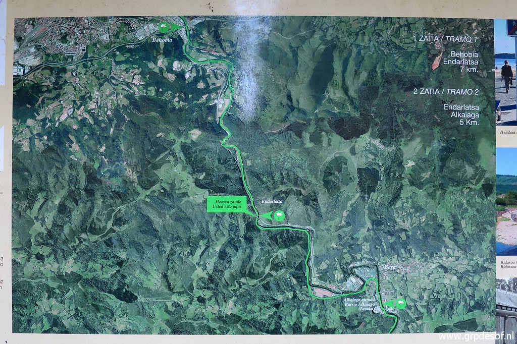 | this plan shows the total length. (click photo to enlarge) |
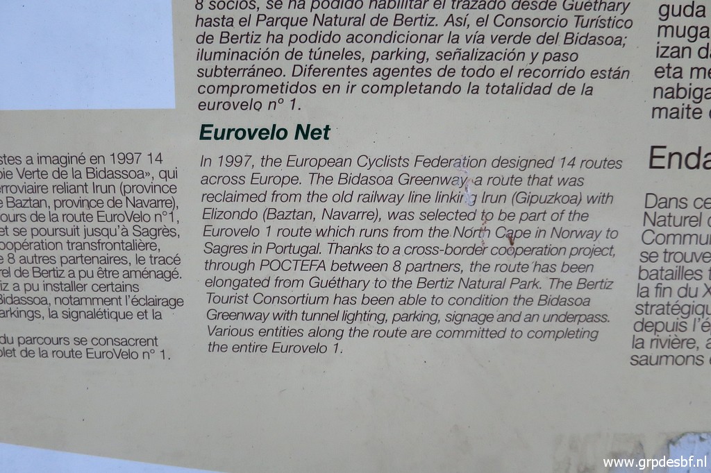
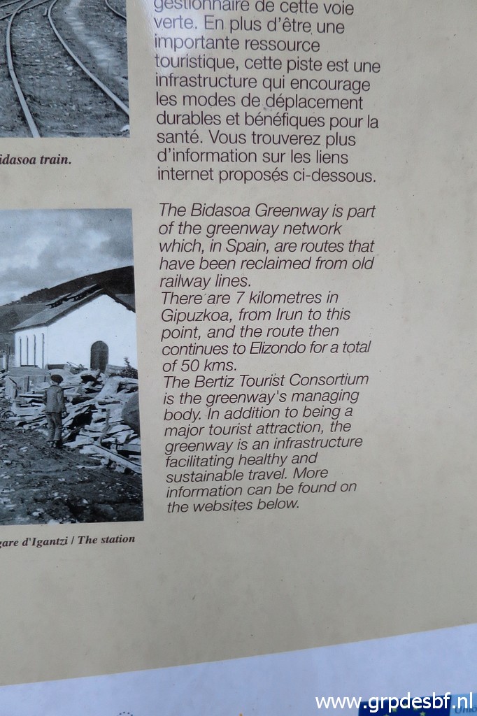 | More information on the cycle track. (click photo to enlarge) |
 | I walk along the cycle track to make additional pictures of bm001. (click photo to enlarge) |
 | Bm001 (click photo to enlarge) |
 | Bm001 (click photo to enlarge) |
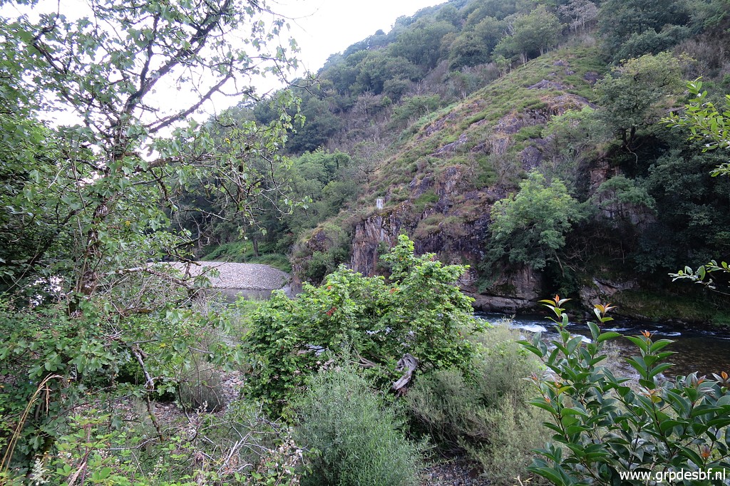
 | Further on this view to bm001. (click photo to enlarge) |
 | Bm001 (click photo to enlarge) |
 | Bm001 (click photo to enlarge) |
 | And to finish my last pictures of bm001. (click photo to enlarge) |
 | Bm001 (click photo to enlarge) |
 | Bm001 Then I drive home via Bordeaux and Yvetot in one go: from 9 am to 12 pm, relatively smoothly. (click photo to enlarge) |