|
The
bordermarkers of the Pyrenees : all my trips
 |
|
| -
thursday 25 june
2020 - Doing 065-074 with Carlos & Conchita |
 |
 |
Summary:
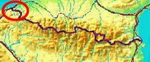
part of a series of 6 trips in june 2020 near Luchon and in the Basque
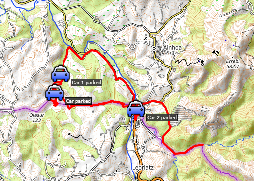
country. This is trip 5. Today: with Carlos & Conchita covering the bm065-074 range. The markers 066 to 071 are on difficult terrain, that's the reason we do them together. Basecamp = camping Xokoan in Dantxaria. The accounts of Carlos & Conchita of this trip are on this webpage and this one and this one. Weather: mainly cloudy |
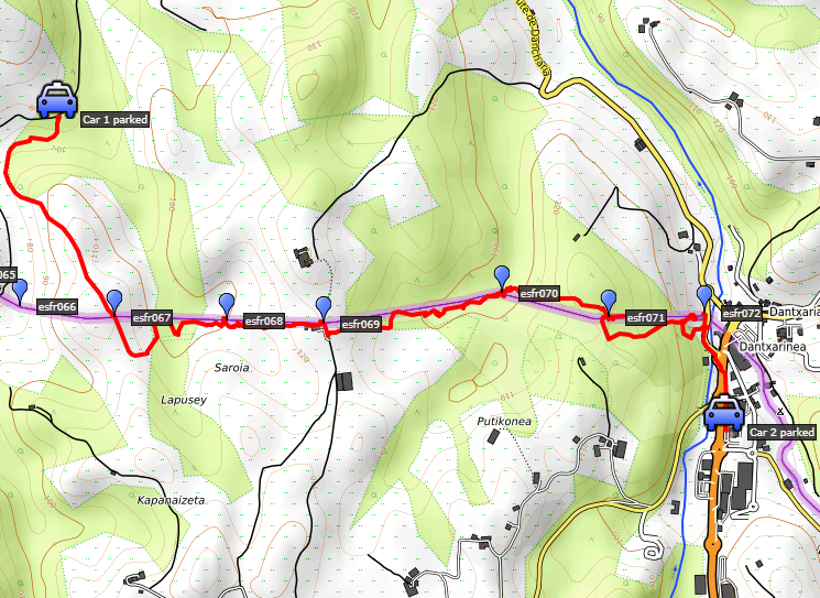 track-20200625-trip1.kml
(click to open this trip in Google Earth or copy link to Google Maps; click right on this link to download gpx-version). The gps-track has not been manually corrected which explains the inaccuracy and misalignment at some points. For cartographic backgrounds: see the cartography-page Gps-waypoints of all bordermarkers (most recent version): kml: esfr-bordermarkers-all-waypoints.kml gpx: esfr-bordermarkers-all-waypoints.gpx (with elevation added by gpsvisualizer.com) |
|
 |
According to Garmin
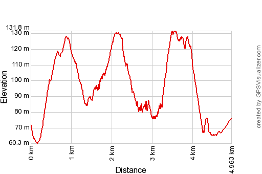
Basecamp (uncorrected track): Distance: 5,8 km Max-height: 150m Min-height: 70m Elevation: +196m -240m Total elevation: 436m Start 9:23 Finish 13:34 Total time: 4:11 |
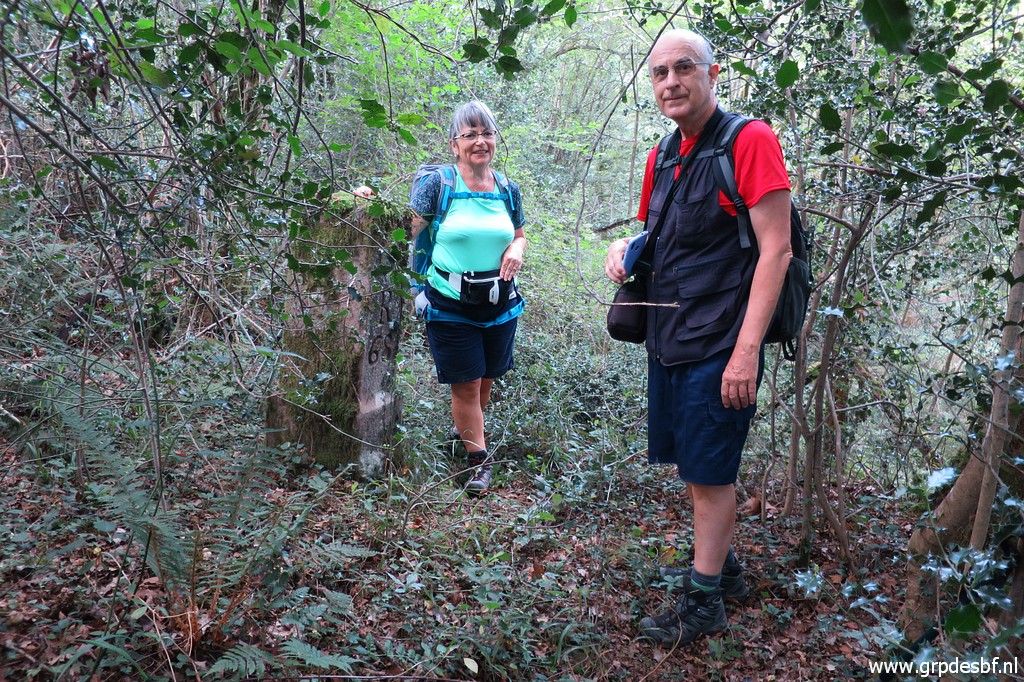
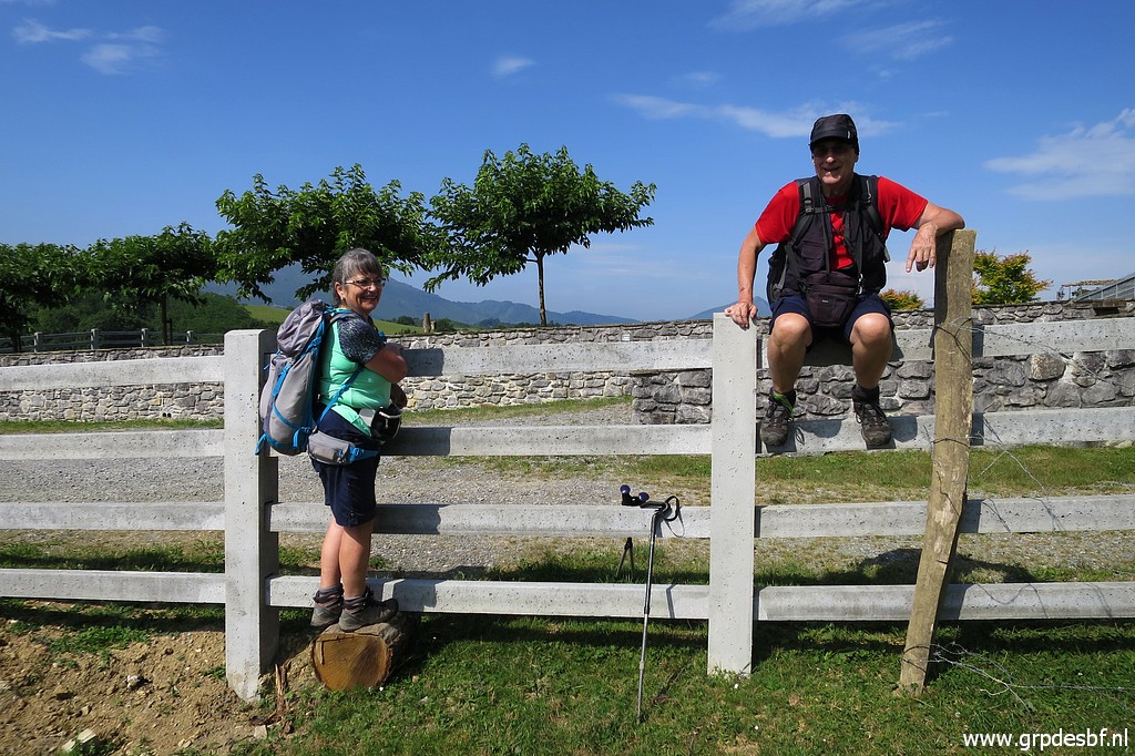
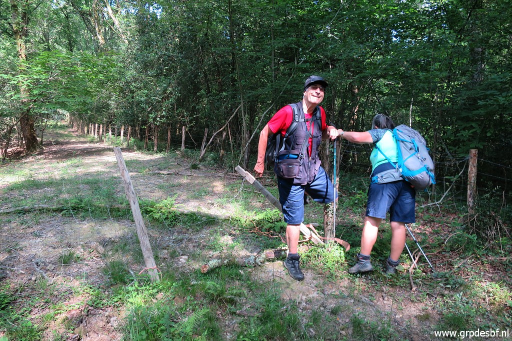
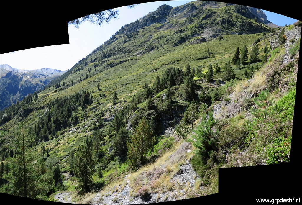
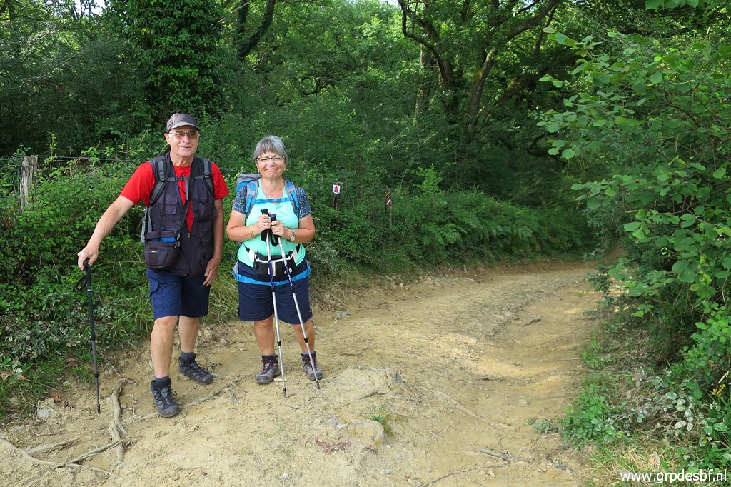 | I meet Carlos & Conchita in Dantxaria and in my car we drive to our starting point. They are in a good mood - as always - awaiting new adventures. (click photo to enlarge) |
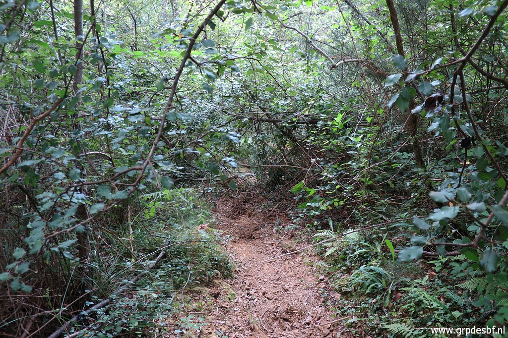
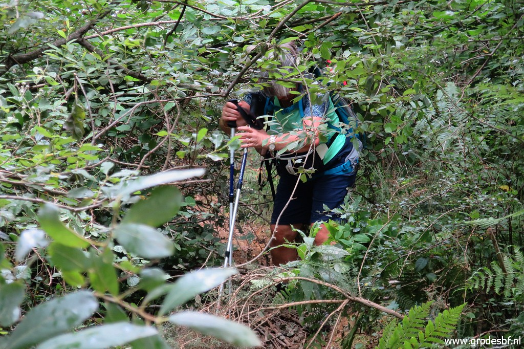
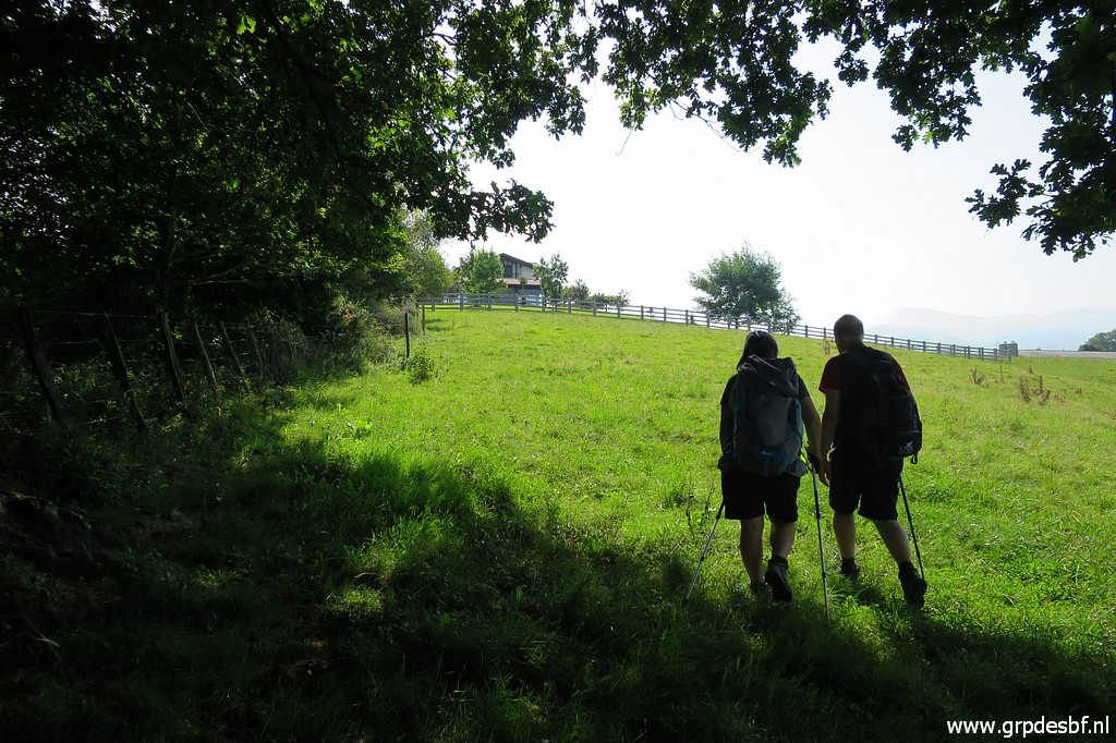
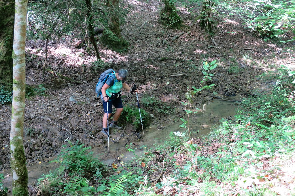
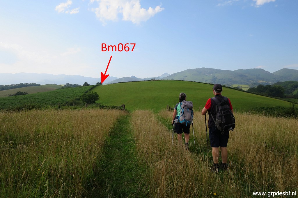 | Through a forest - including climbing a fence and wading to a stream - we arrive in open fields, heading to bm067. (click photo to enlarge) |
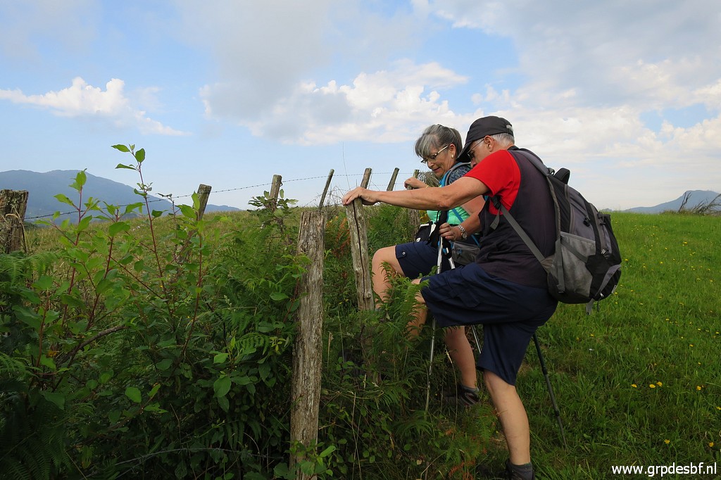 | This is the job of today: tackling fences. (click photo to enlarge) |
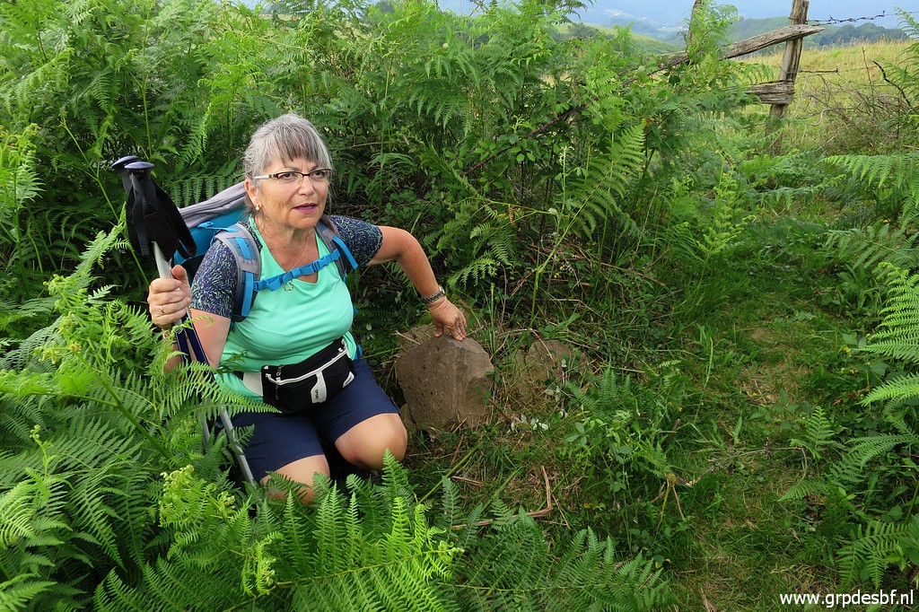 | Bm067 has been destroyed years ago, only a few parts are left. (click photo to enlarge) |
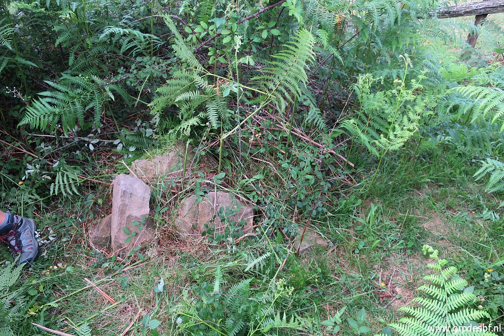 | Bm067, the remaining parts. (click photo to enlarge) |
 | This in NOT bm067 but it stands 2 meters from the remains of bm067. Apparently it is an old municipal bordermarker or likewise. (click photo to enlarge) |
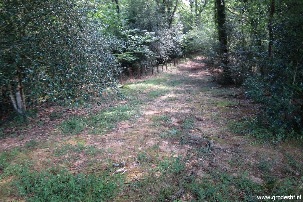
 | We continue through the meadow at the other side, making a semicircle along its fences. We arrive at a trail meant for cattle to move from one meadow to another. We can use it to move in the direction of bm068. (click photo to enlarge) |
 | I am surprised to see that it is apparently no longer used as such. On 22-07-2017 it was still in use. (click photo to enlarge) |
 | So nature takes it over again. (click photo to enlarge) |
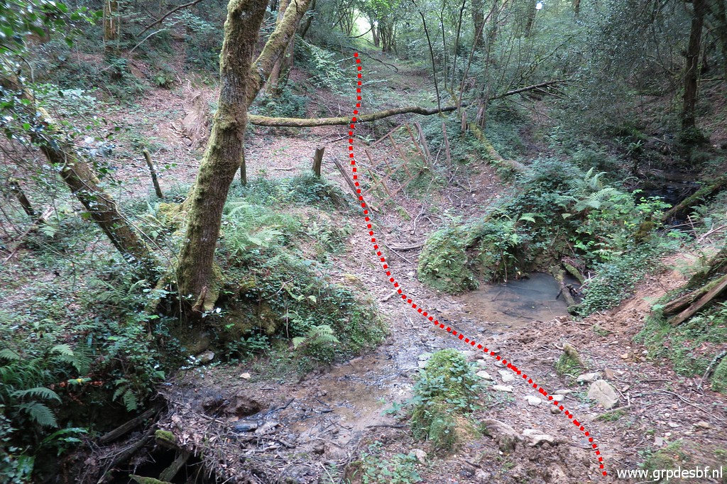
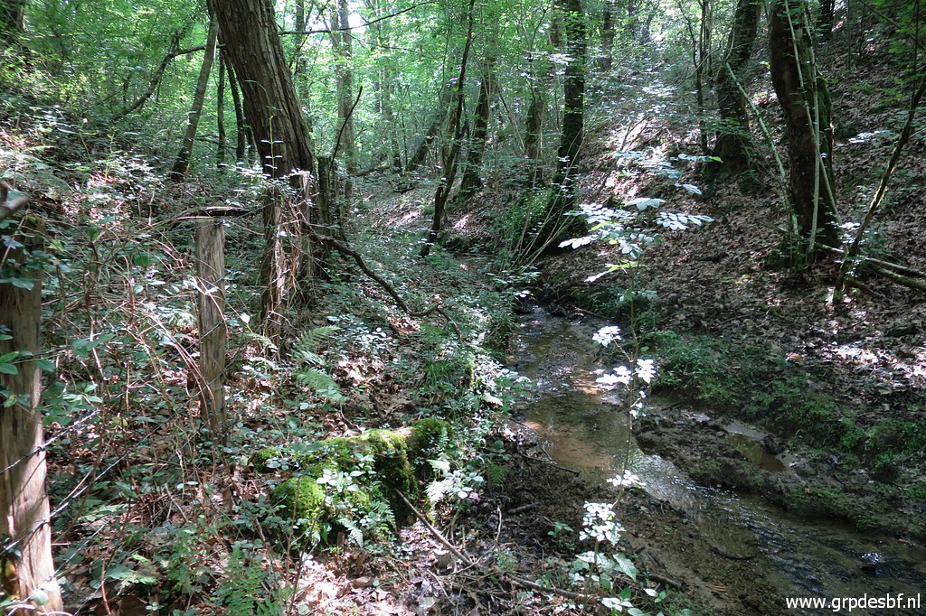
 | The trail descends to a muddy passing of a small stream and continues on the trail in the background. (click photo to enlarge) |
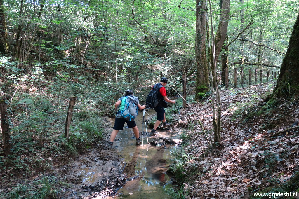
 | Then there is a second muddy crossing, (click photo to enlarge) |
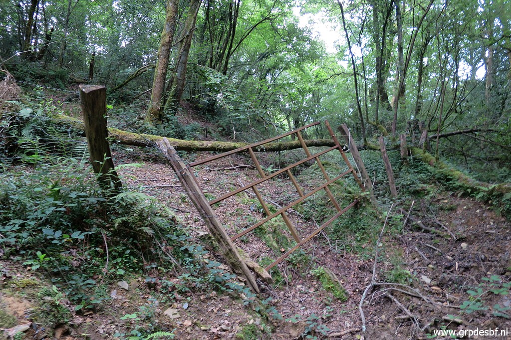 | passing through this gate. (click photo to enlarge) |
 | Bm068 is then closeby but another fence needs to be climbed. (click photo to enlarge) |
 | Bm068 (click photo to enlarge) |
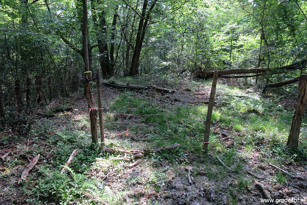
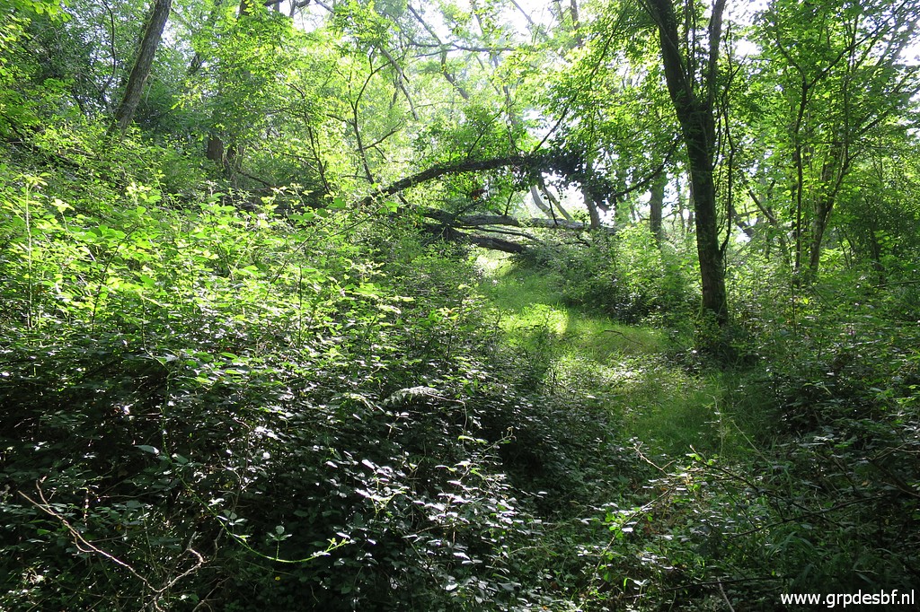 | Back over the fence to the trail and continuing on the trail to the other meadow which is however getting overgrown. Fallen trees (click photo to enlarge) |
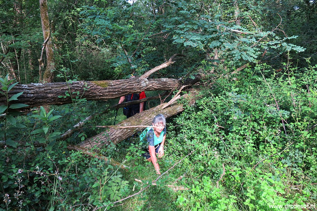 | make a man humble and down to his knees. (click photo to enlarge) |
 | Then we arrive in an open field (click photo to enlarge) |
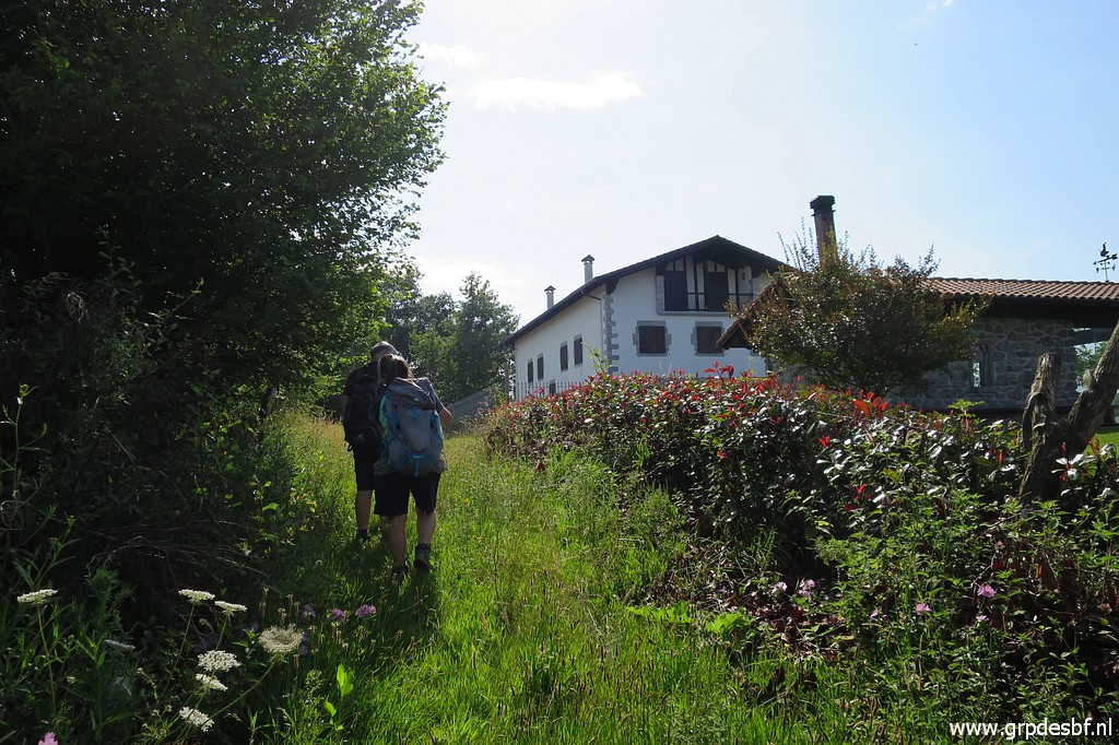 | and walk - once again crossing a fence- to the large building ahead. (click photo to enlarge) |
 | Bm069 stands besides it. (click photo to enlarge) |
 | Bm069 (click photo to enlarge) |
 | Bm069 (click photo to enlarge) |
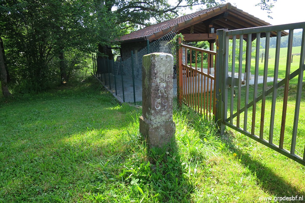 | Bm069 (click photo to enlarge) |
 | The building is a lodging for scouts. (click photo to enlarge) |
 | At the other side of the building down this field but (click photo to enlarge) |
 | first we have to climb another fence. (click photo to enlarge) |
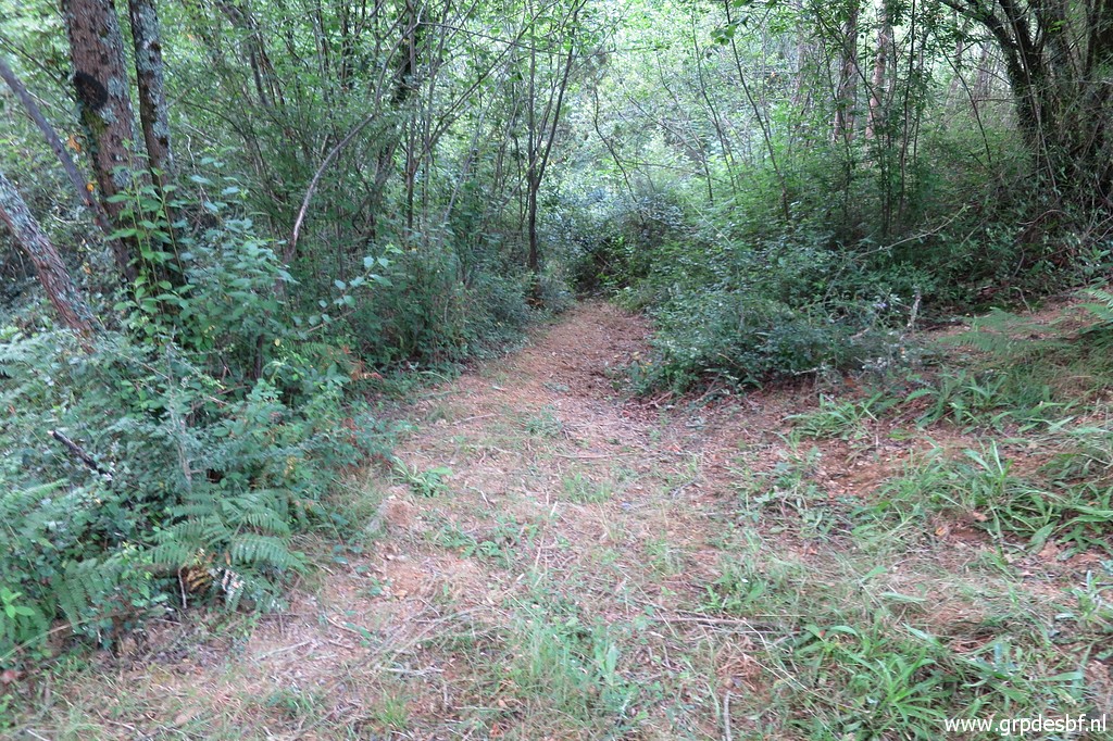
 | At the NE-corner of the field, there is this path in the direction of bm070. (click photo to enlarge) |
 | Another fence, it wasn't there on 22-07-2017, (click photo to enlarge) |
 | to cross. (click photo to enlarge) |
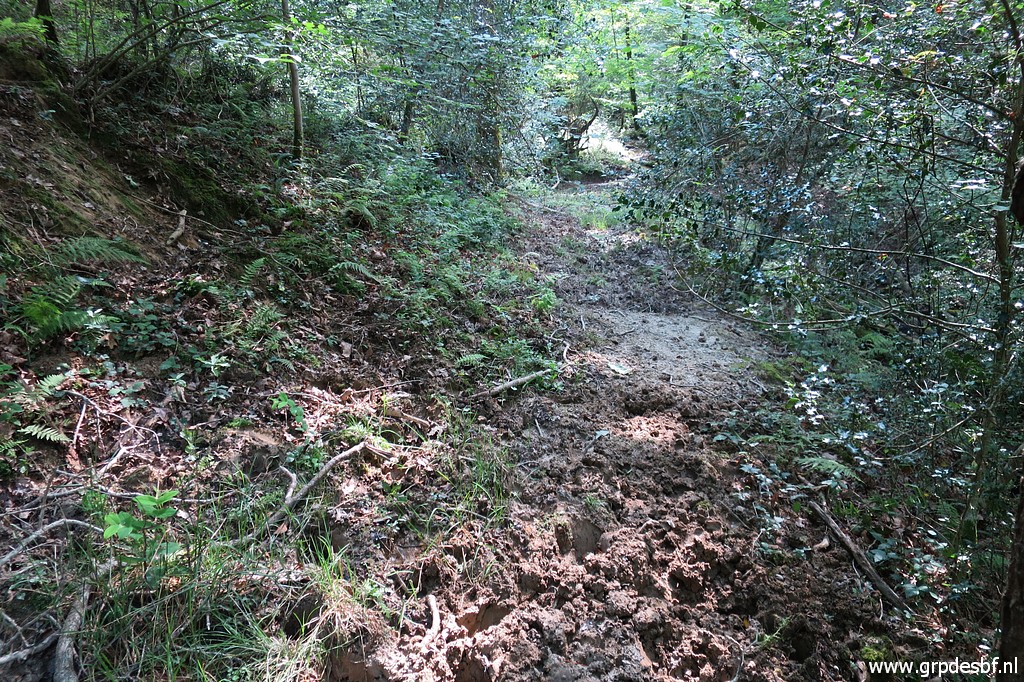 | Then it gets more muddy (click photo to enlarge) |
 | and even more muddy. (click photo to enlarge) |
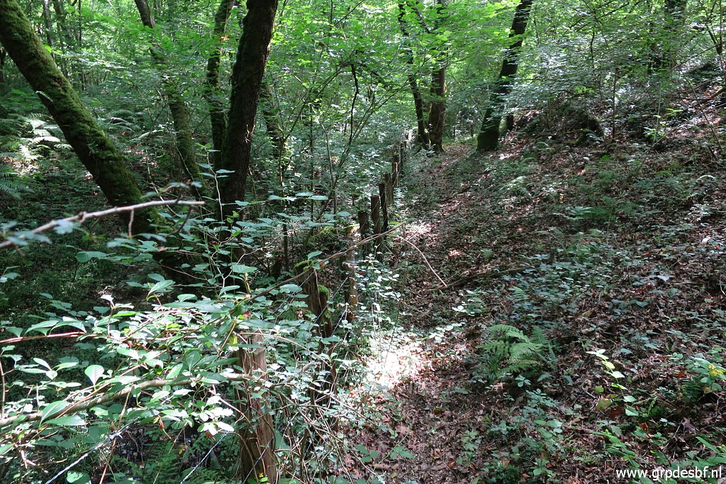
 | But the direction is obvious: along the borderfence. (click photo to enlarge) |
 | and a muddy stream which at this point crosses the borderfence. (click photo to enlarge) |
 | Now we get close to (click photo to enlarge) |
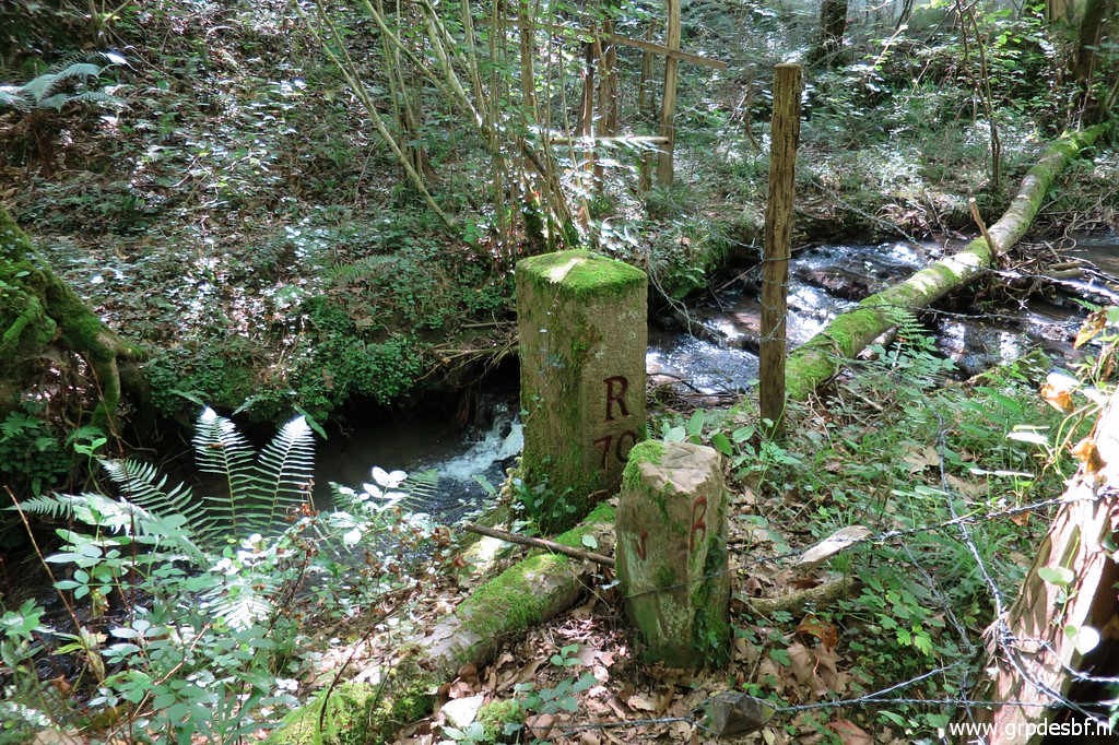 | bm070. (click photo to enlarge) |
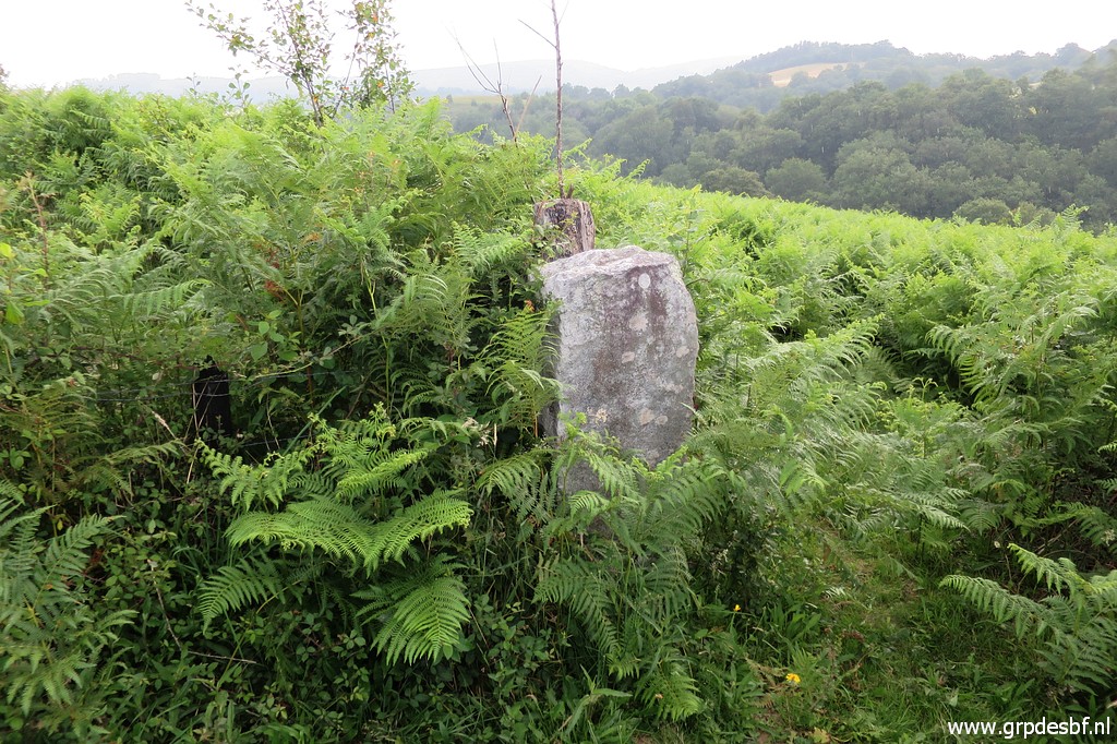
 | Bm070 with some municipal marker besides it. In the background a deserted house. (click photo to enlarge) |
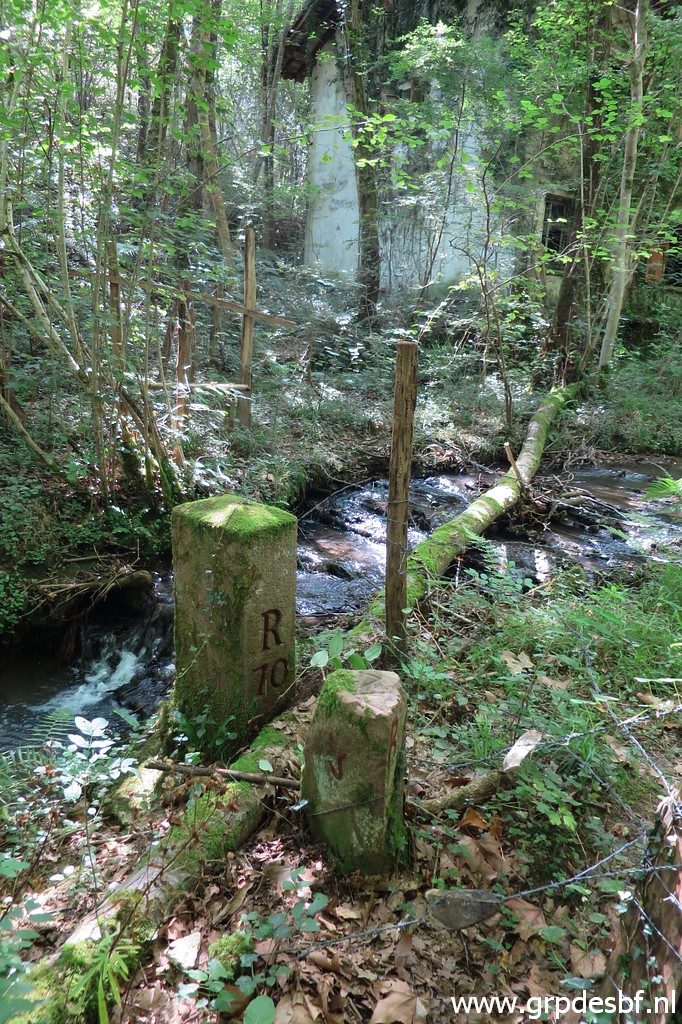
 | Bm070 (click photo to enlarge) |
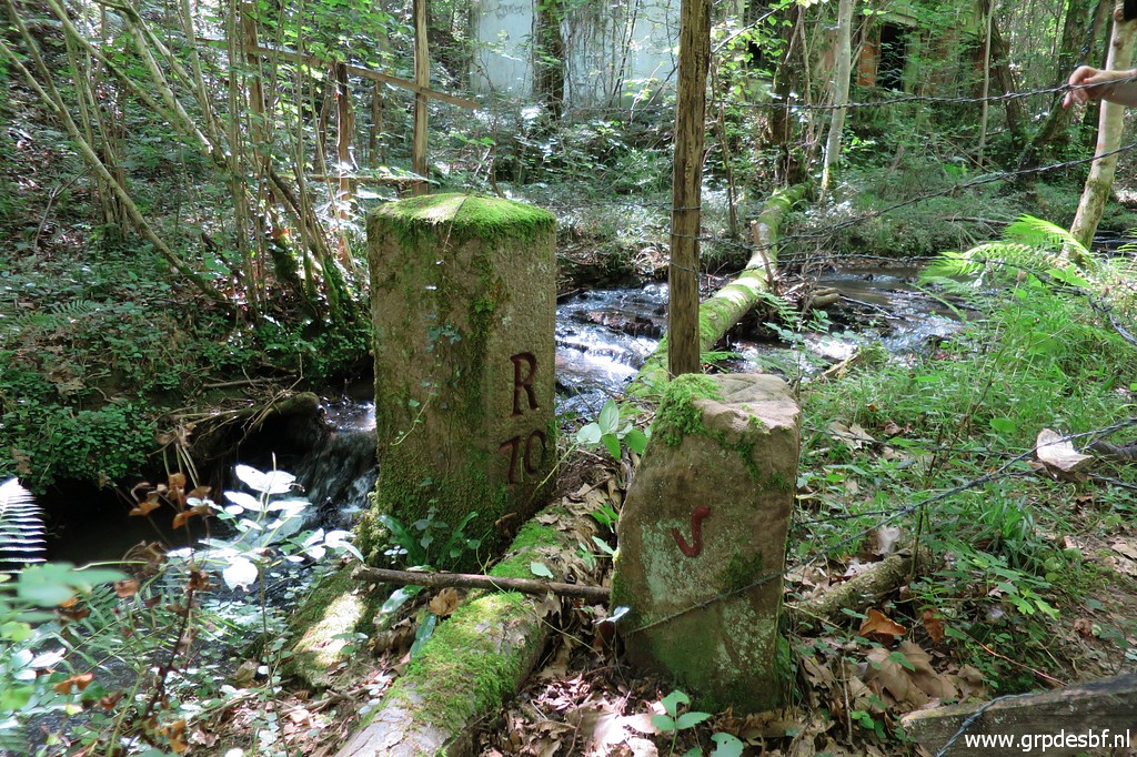
 | Bm070 (click photo to enlarge) |
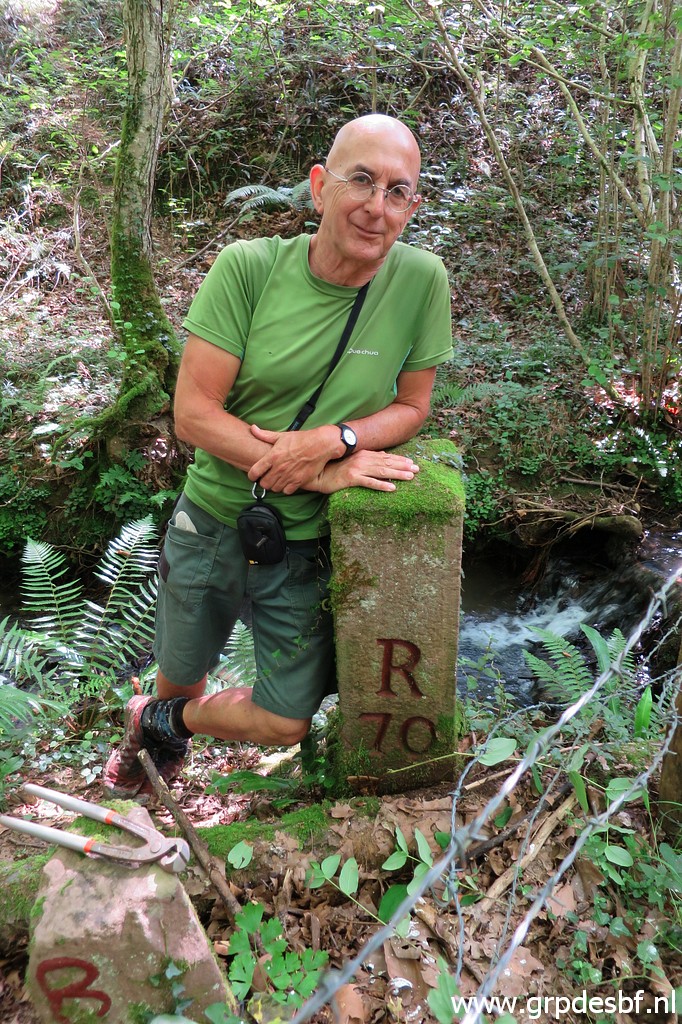
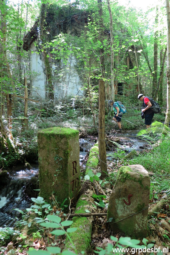 | Bm070, Carlos & Conchita are already crossing the stream. (click photo to enlarge) |
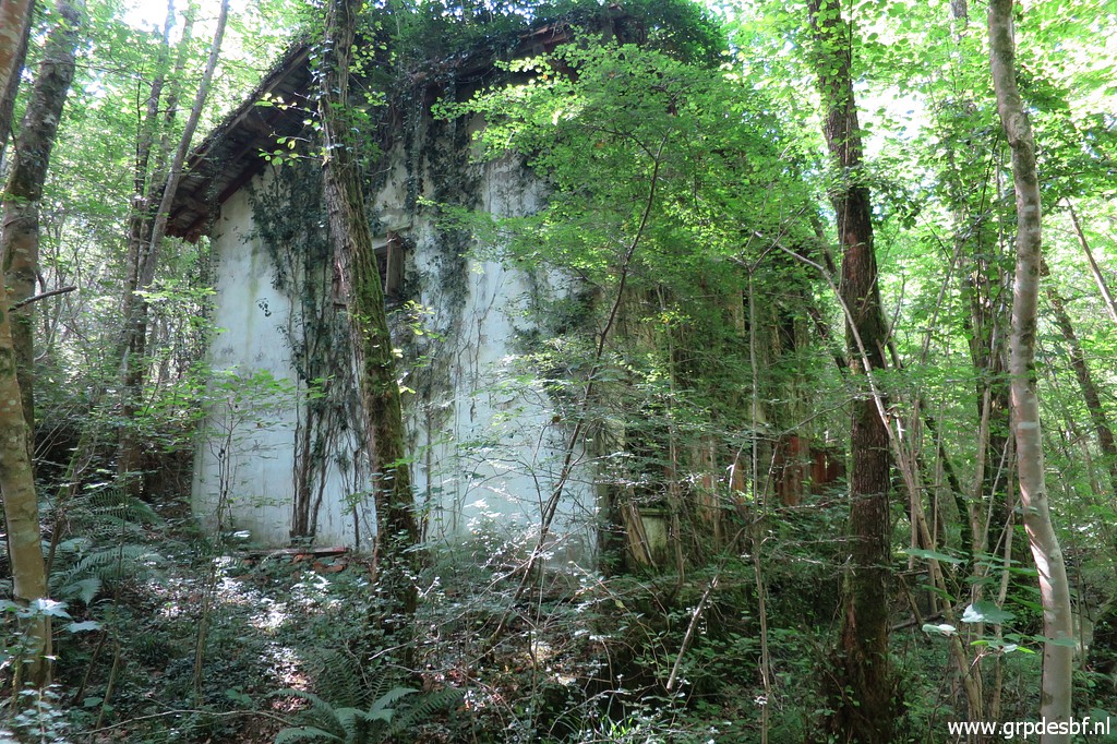 | The abondoned and overgrown house. (click photo to enlarge) |
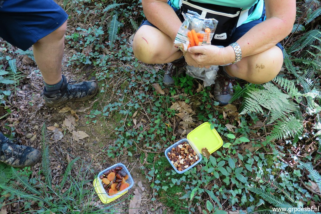 | Time for a short lunch break: very healty! (click photo to enlarge) |
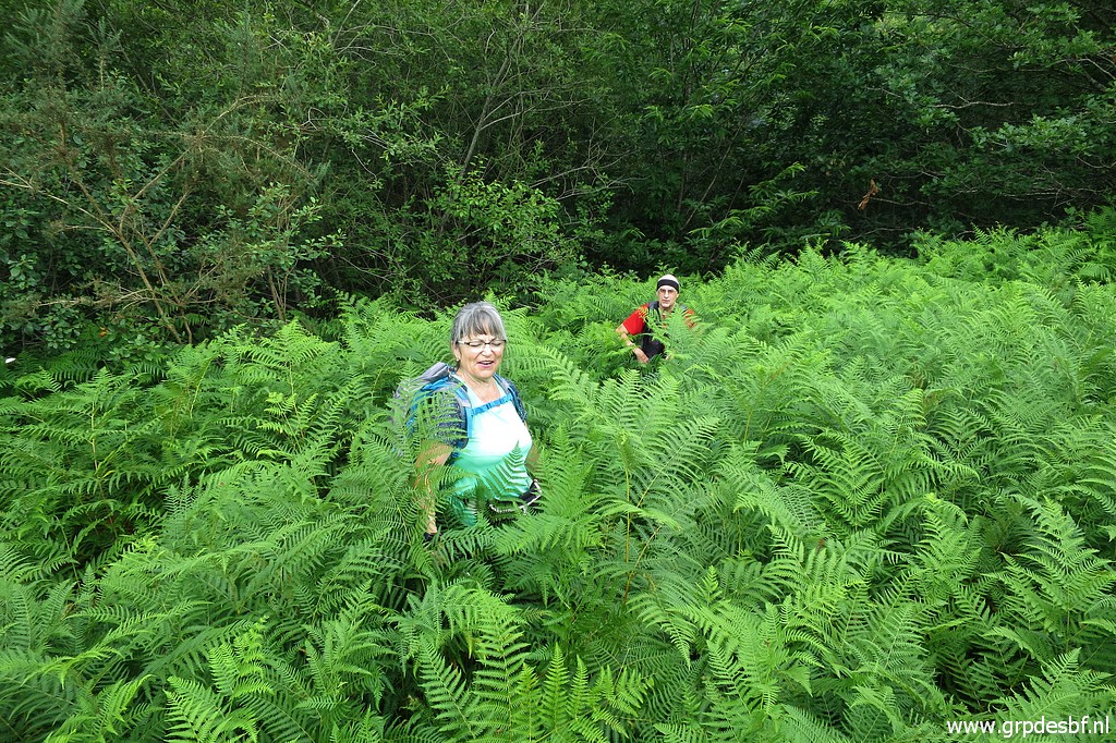 | Then crossing a field which has become in recent years a jungle of fern, (click photo to enlarge) |
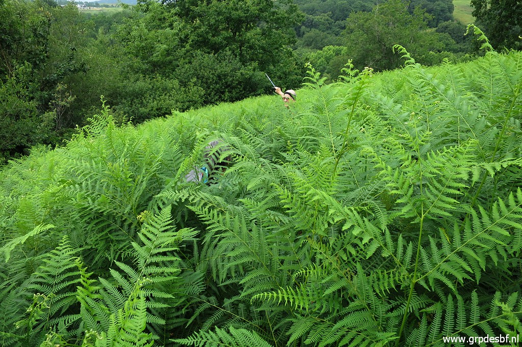 | as high as we are. (click photo to enlarge) |
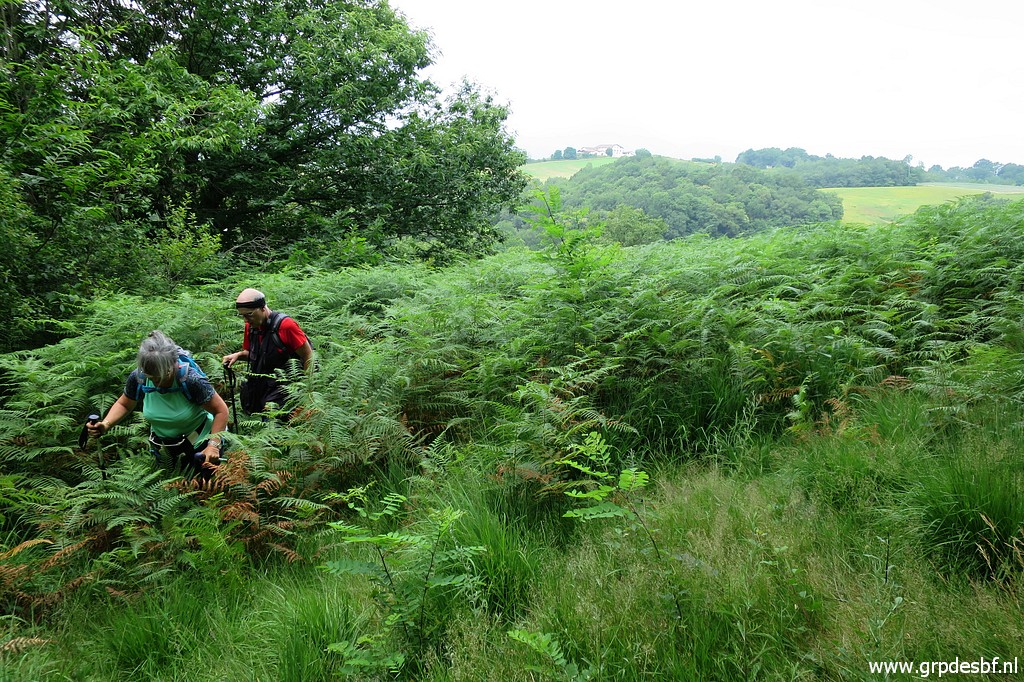 | Using the gps to navigate, we reach more open area and (click photo to enlarge) |
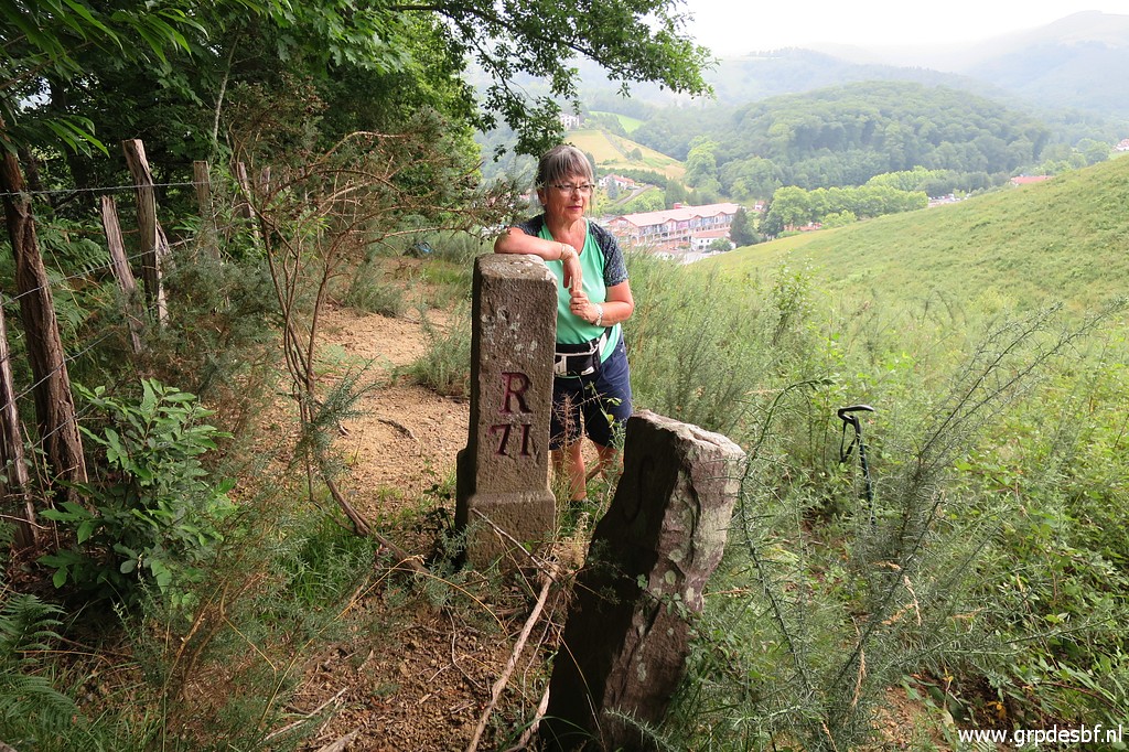 | at the other side of the fence is bm071 (click photo to enlarge) |
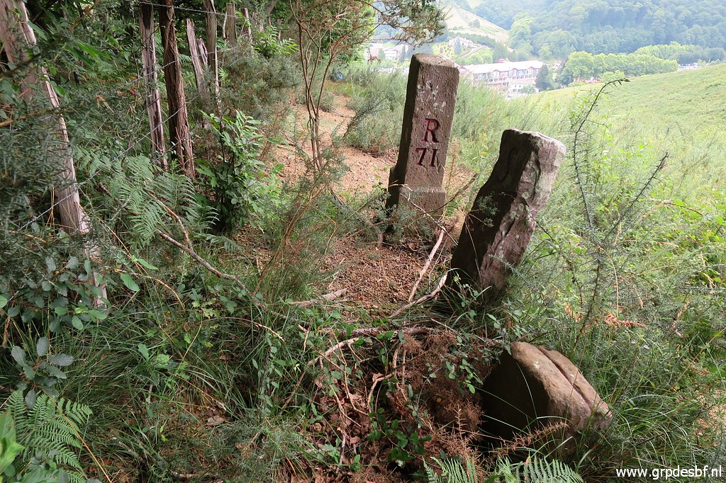 | with two other markers besides it. (click photo to enlarge) |
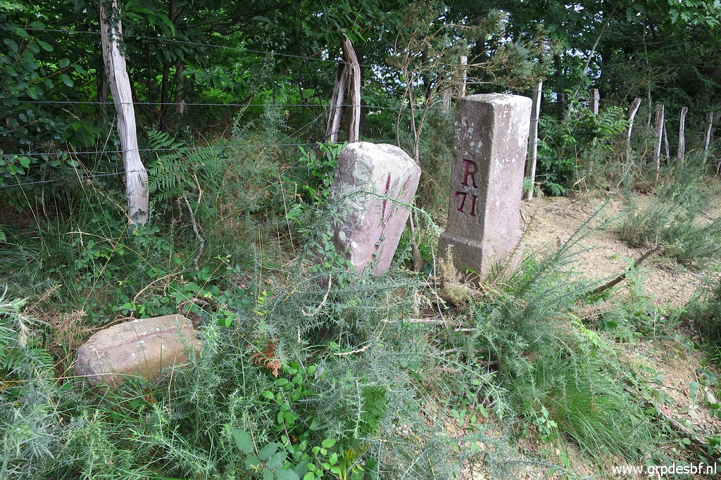 | Bm071 We descend through the field towards Dantxaria. (click photo to enlarge) |
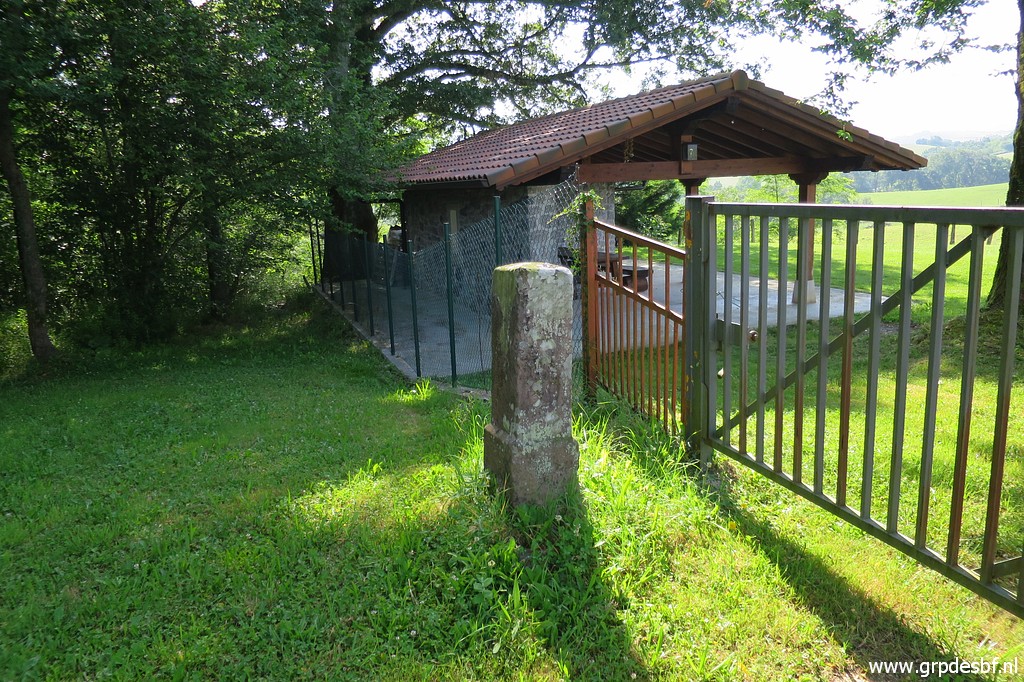
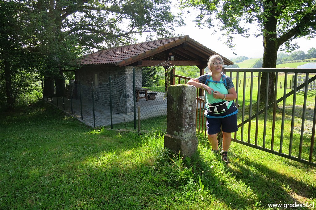
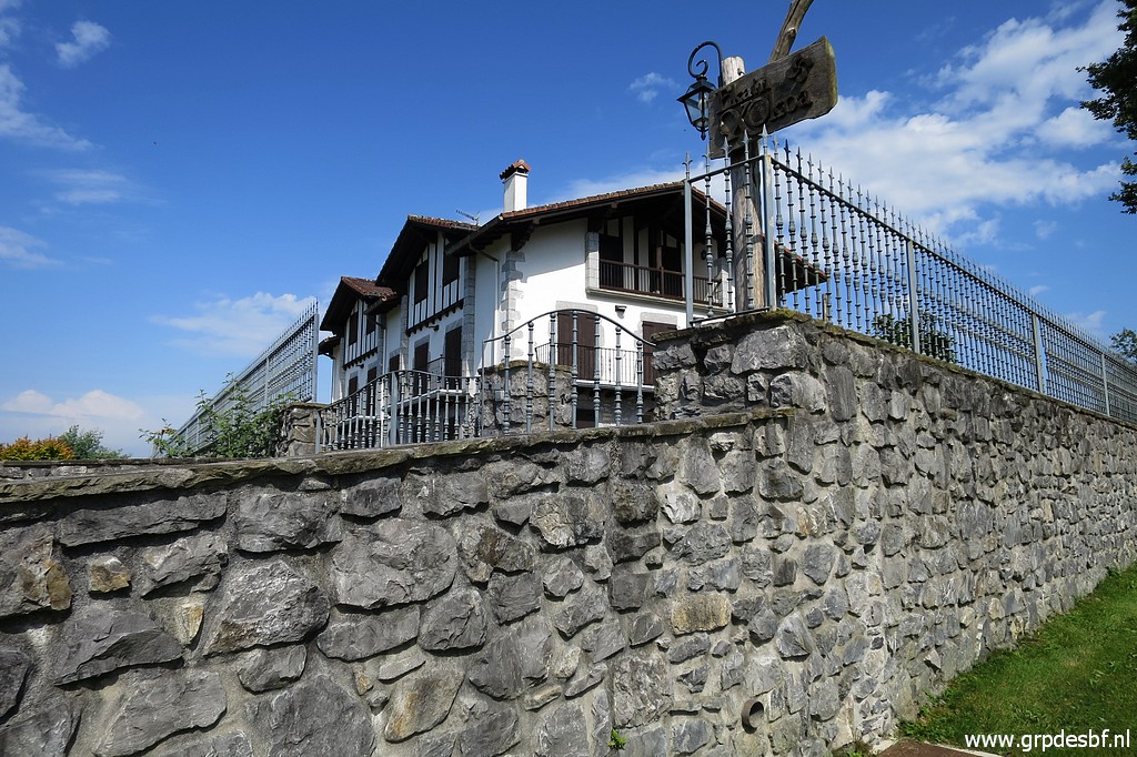
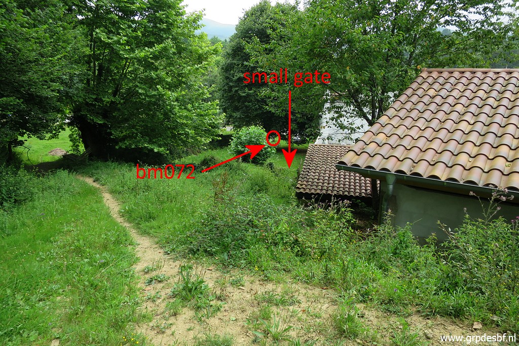 | We arrive at the backside of the venta besides bm072. There is a gate through the fence with direct access to bm072 and the road. But that is private property and Carlos & Conchita are reluctant to tresspass. But I suspect they find a gate in the fence far too easy. At the other side of the building we climb the fence to get to the parking of the venta. The owner is mad but Carlos bluffs his way out. (click photo to enlarge) |
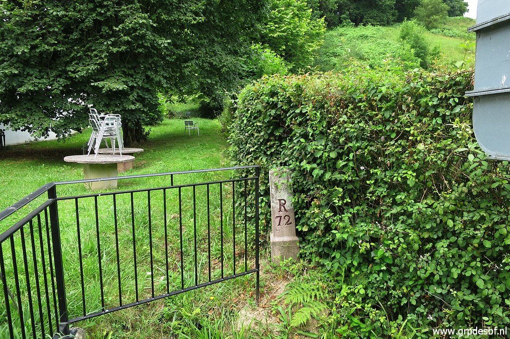 | Bm072, as seen from the street side. (click photo to enlarge) |
 | Bm072 (click photo to enlarge) |
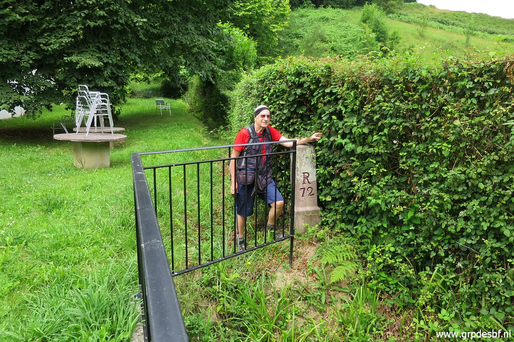
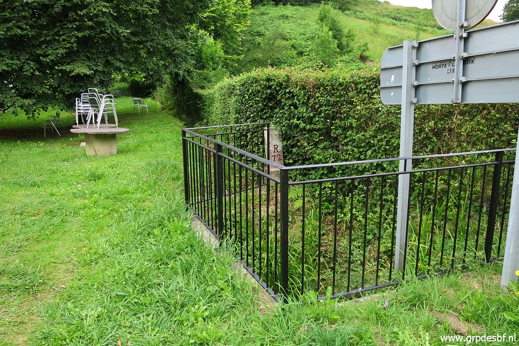 | Bm072 End of trip 1. We drive with the car of Carlos & Conchita to the beginning of trip 2. (click photo to enlarge) |
 track-20200625-trip2.kml (click to open this trip in Google Earth or copy link to Google Maps; click right on this link to download gpx-version). The gps-track has not been manually corrected which explains the inaccuracy and misalignment at some points. For cartographic backgrounds: see the cartography-page Gps-waypoints of all bordermarkers (most recent version): kml: esfr-bordermarkers-all-waypoints.kml gpx: esfr-bordermarkers-all-waypoints.gpx (with elevation added by gpsvisualizer.com) |
|
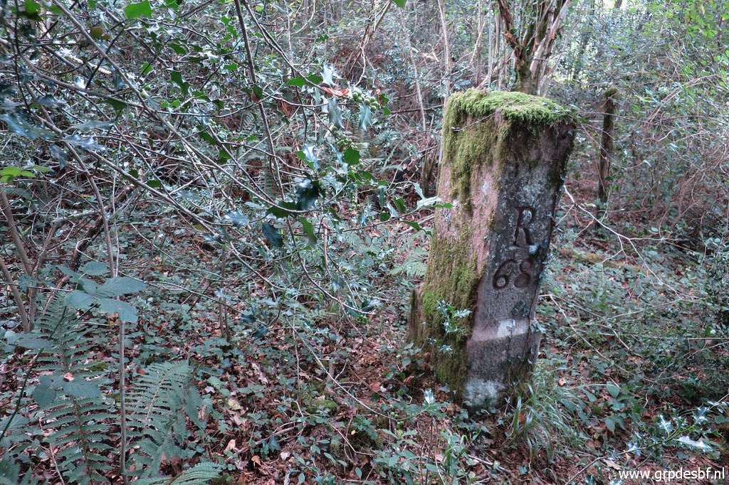
 | First uphill to bm065 which is an easy marker, just besides the dirtroad. (click photo to enlarge) |
 | Bm065 (click photo to enlarge) |
 | Bm065 (click photo to enlarge) |
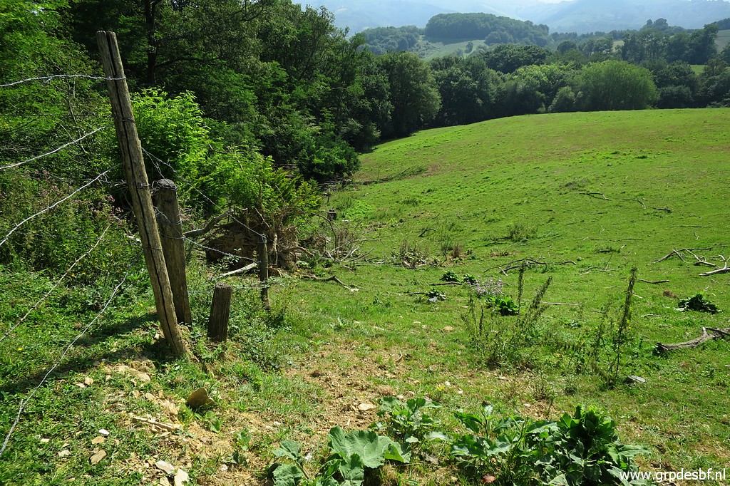
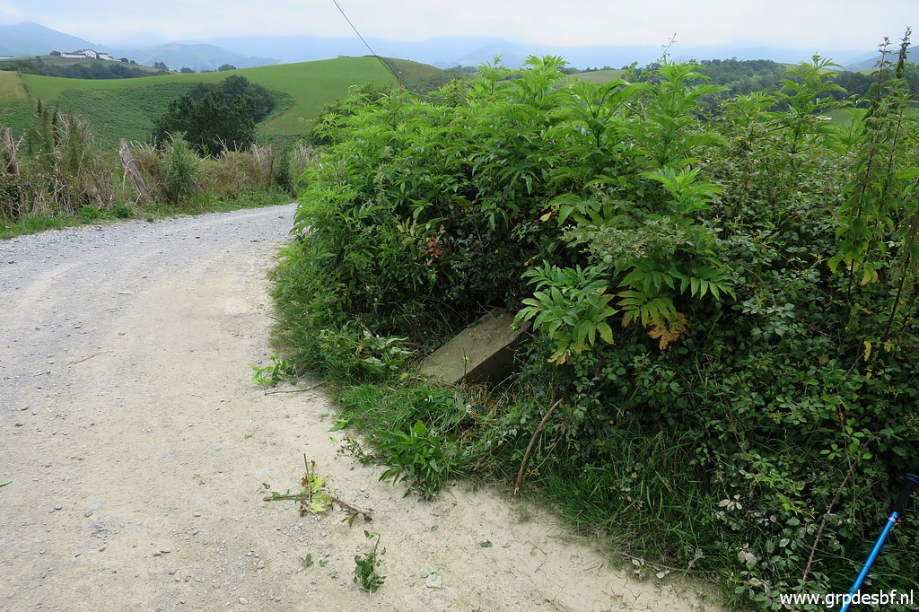
 | Then returning to our starting point near an abondoned farmhouse. In the meadow besides it - between farmhouse and stream - I forced myself on 22-07-2017 through the blackberry for 20m to bm066, slaying it down with my walking stick. But the blackberry is now too thick and strong. It is impossible. We give it a try from the dirtroad but the bush there is also too dense. (click photo to enlarge) |
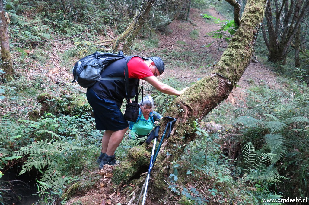
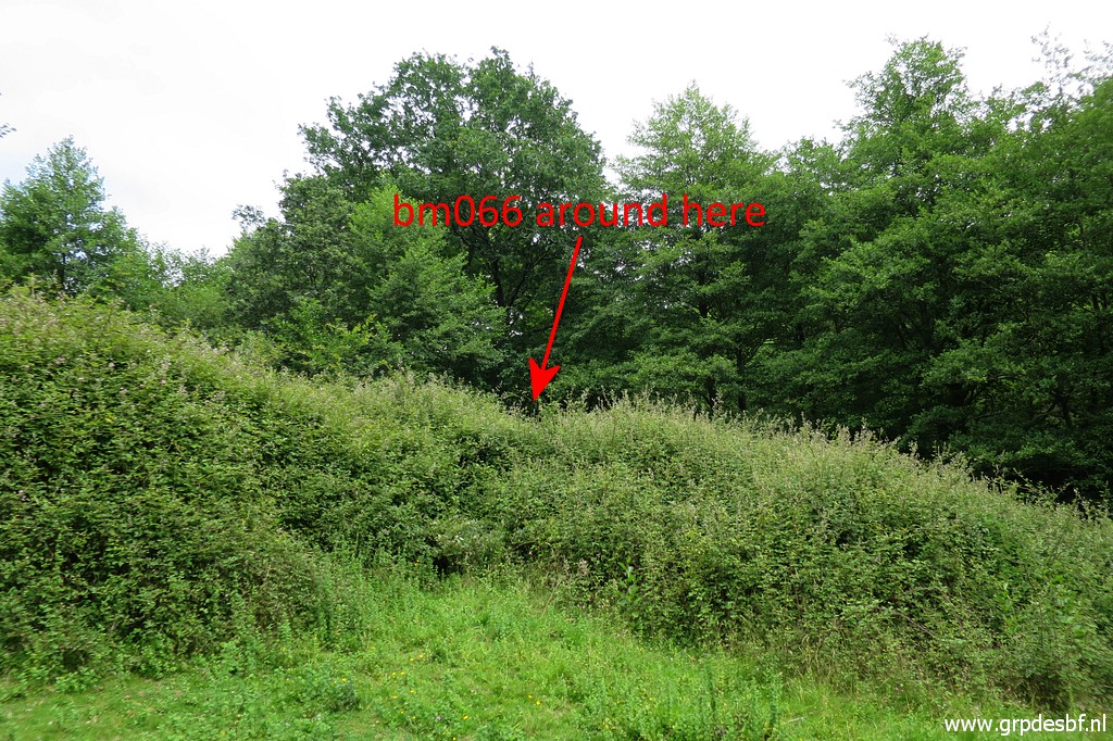
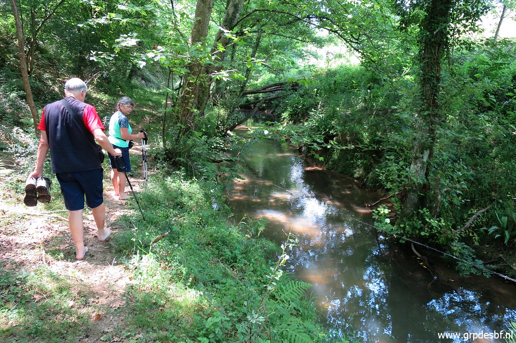
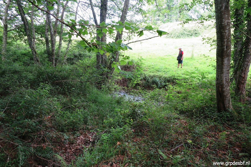 | But there is another acces possible: crossing the stream and approach bm066 from its backside. I have already crossed the stream - wading through it - while Carlos is looking where they will cross. (click photo to enlarge) |
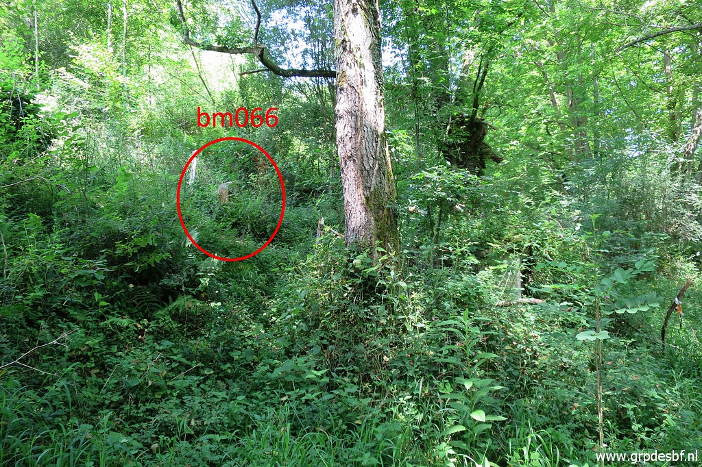
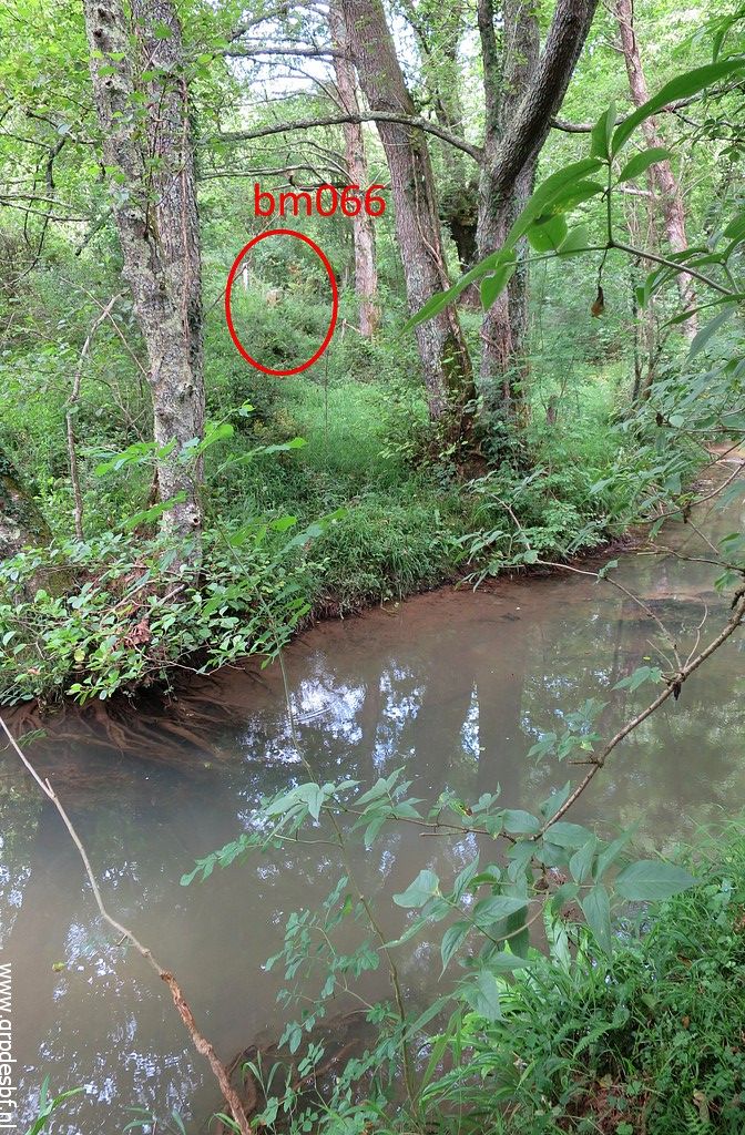 | In the meantime, I walk along the edge of the stream on a sort of trail towards bm066. And then I spot it on the other side of the stream. (click photo to enlarge) |
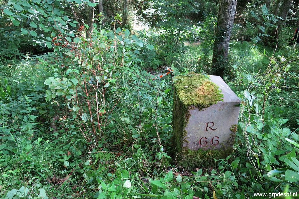
 | Zoom-in to bm066 (click photo to enlarge) |
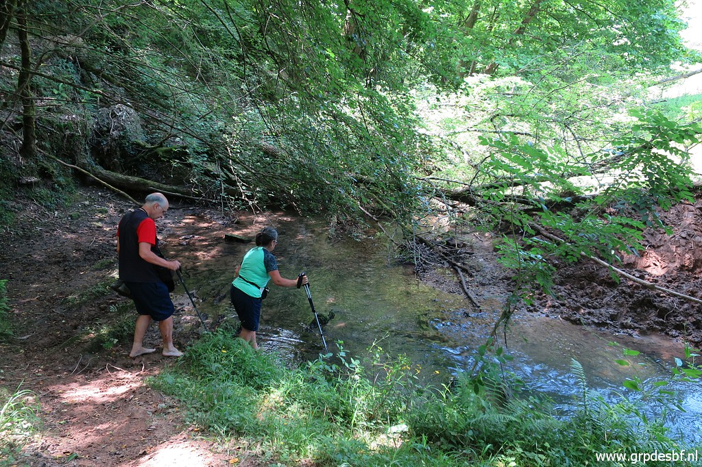
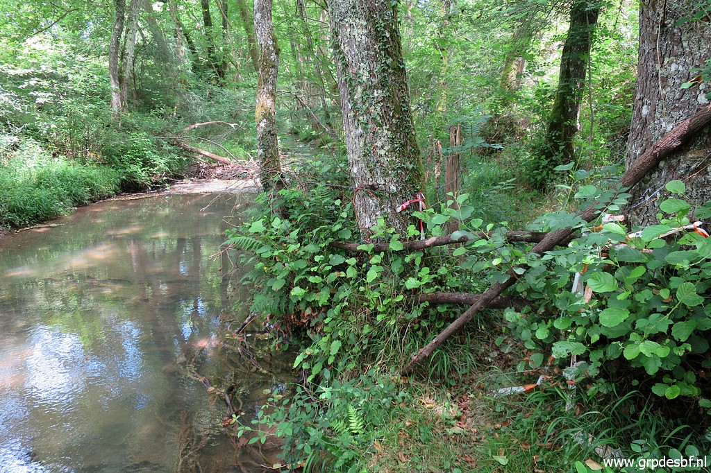 | The trail along the stream ends at this 'fence'. (click photo to enlarge) |
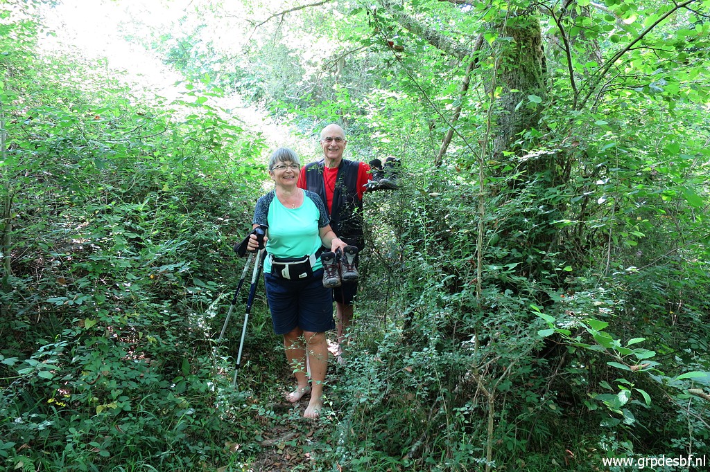 | Carlos & Conchita have crossed the stream and arrive at the scene barefoot. (click photo to enlarge) |
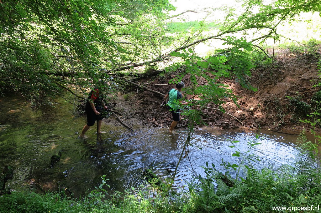
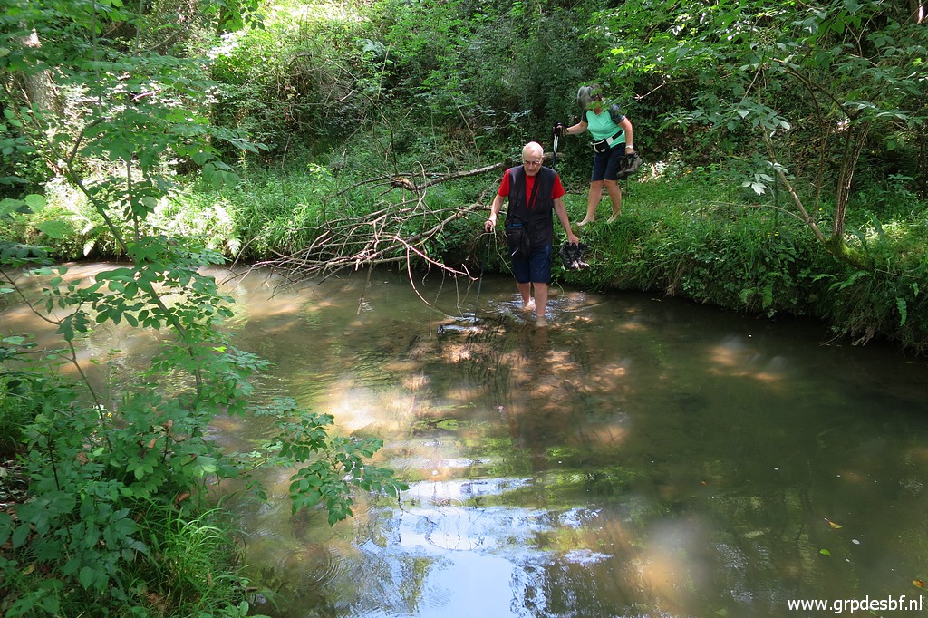 | I take the lead in wading through the stream and Carlos & Conchita follow. (click photo to enlarge) |
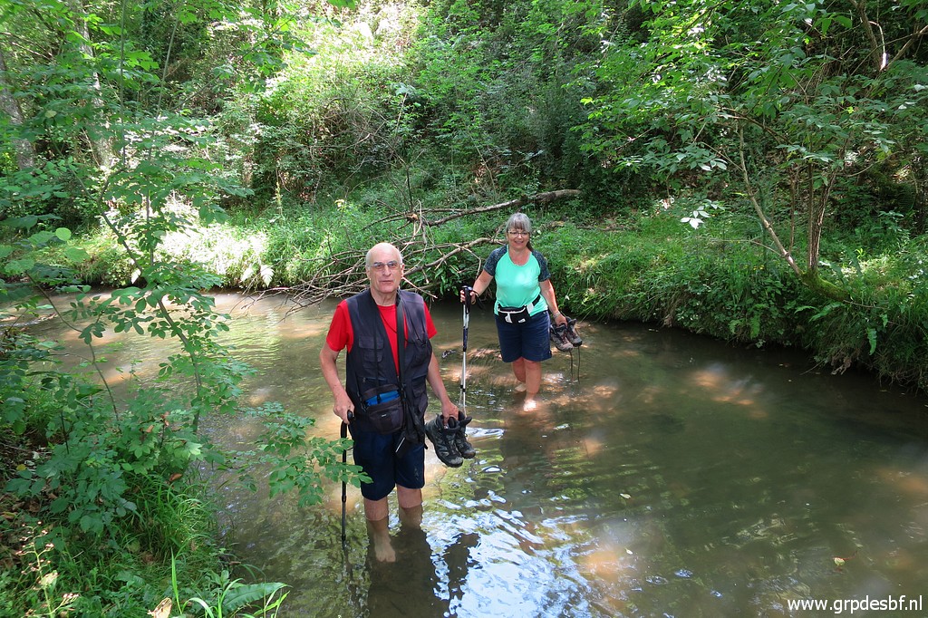 | As you can see: no big deal. (click photo to enlarge) |
 | Now getting closer to bm066 (click photo to enlarge) |
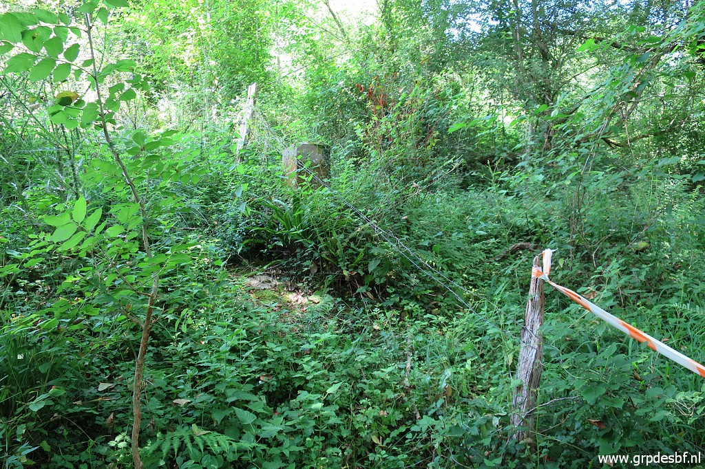 | and closer/ (click photo to enlarge) |
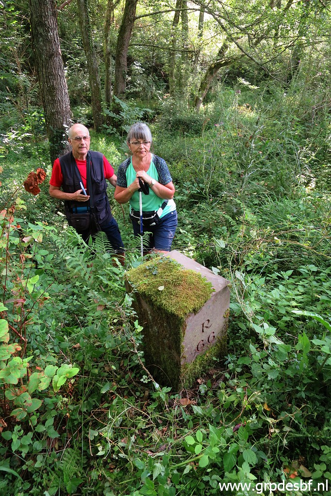 | Bm066 with my two adventurers. (click photo to enlarge) |
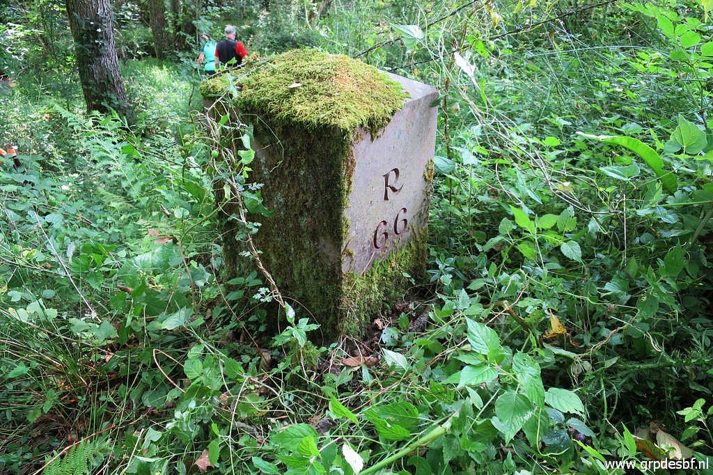 | Bm066 (click photo to enlarge) |
 | Bm066 (click photo to enlarge) |
 | We return, first crossing the stream back to the other side and walking back to a suitable place to return to the meadow. (click photo to enlarge) |
 | And that is here, (click photo to enlarge) |
 | wading through it is easy and we get back to the car. (click photo to enlarge) Then starts trip 3. We collect my car and drive to Dantxaria. From there an easy drive to the remaining bm's: 073 and 074. |
 track-20200625-trip3.kml (click to open this trip in Google Earth or copy link to Google Maps; click right on this link to download gpx-version). The gps-track has not been manually corrected which explains the inaccuracy and misalignment at some points. For cartographic backgrounds: see the cartography-page Gps-waypoints of all bordermarkers (most recent version): kml: esfr-bordermarkers-all-waypoints.kml gpx: esfr-bordermarkers-all-waypoints.gpx (with elevation added by gpsvisualizer.com) |
|
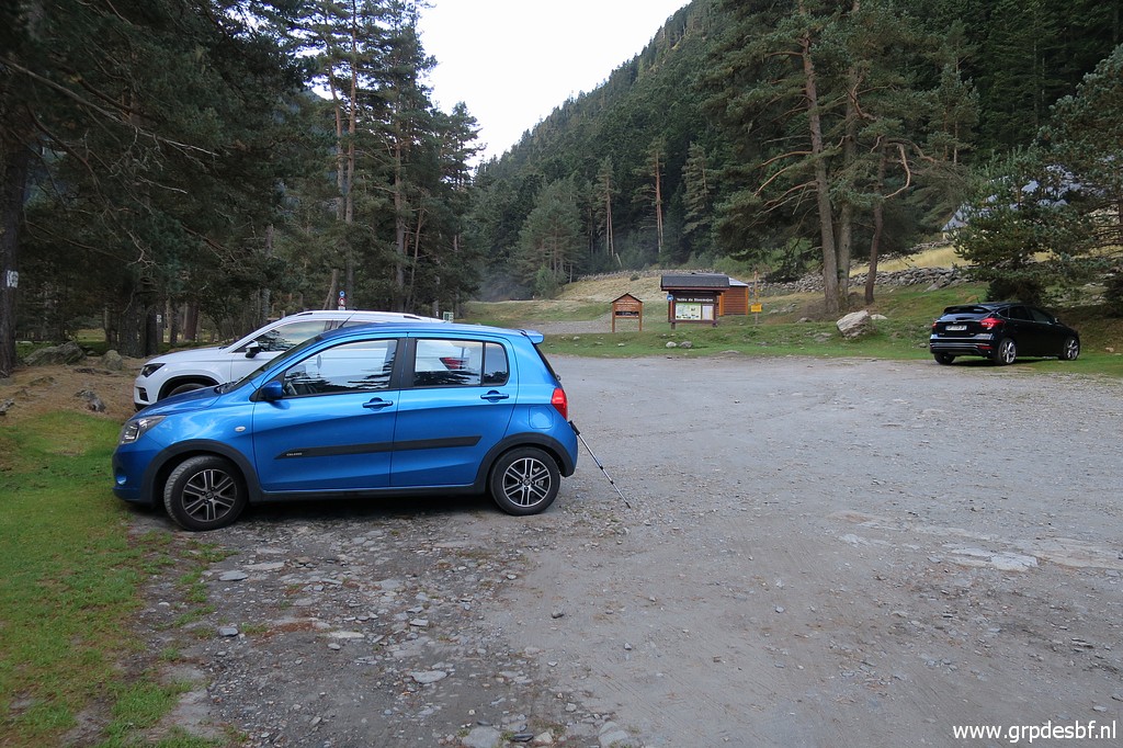
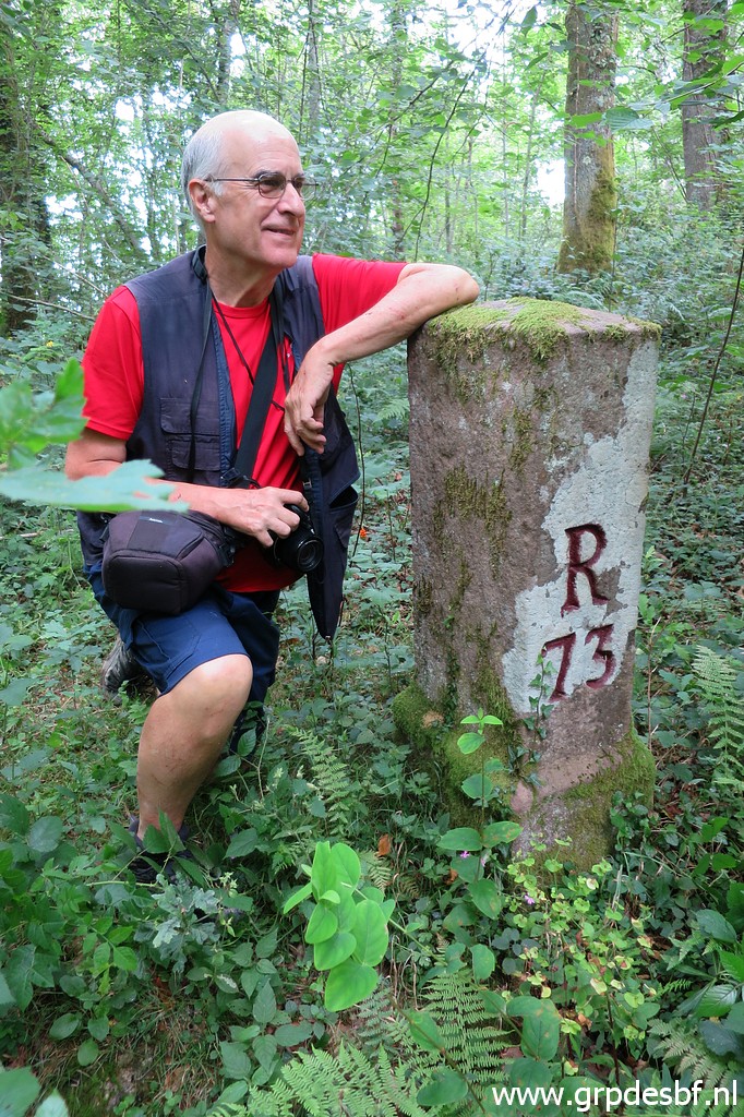 | As said above, from Dantxaria we drive to bm073 which is just off the road, approximately 25m in the forest. (click photo to enlarge) |
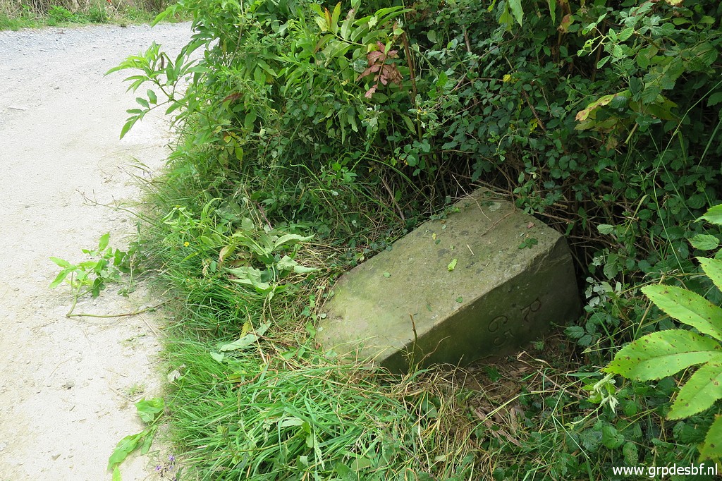
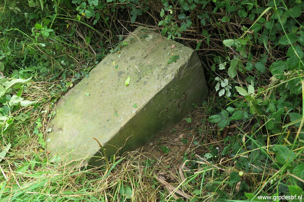
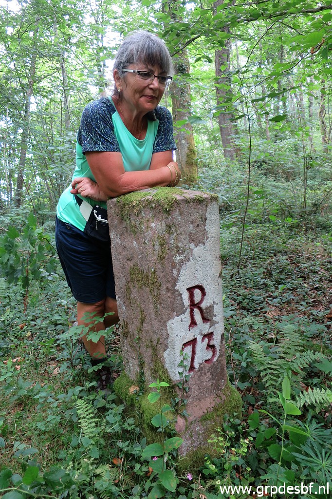 | Bm073 (click photo to enlarge) |
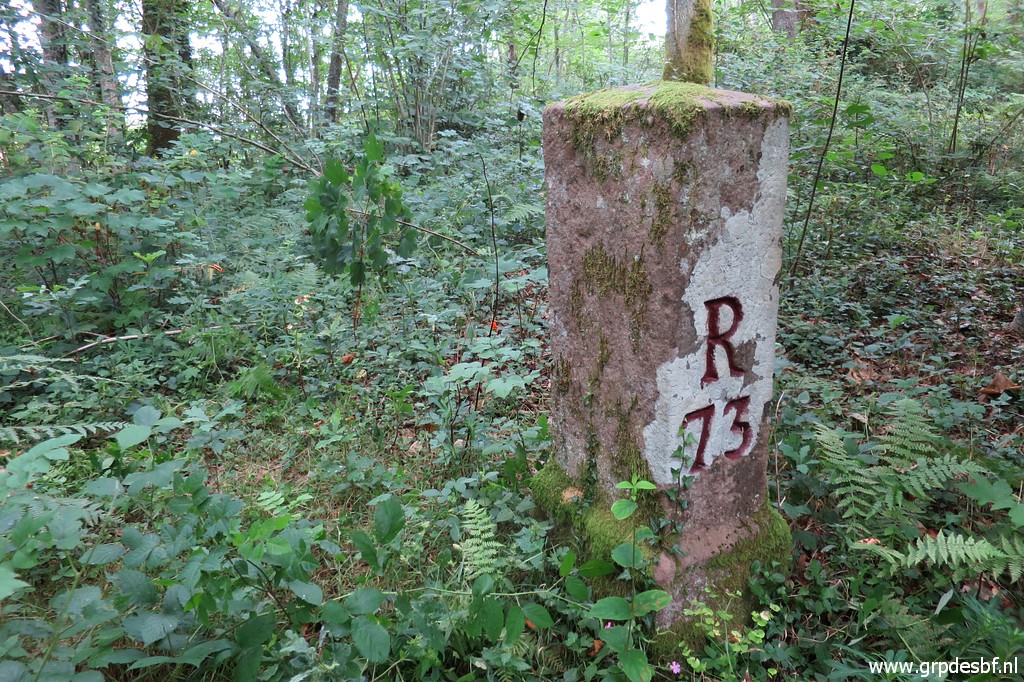 | Bm073 (click photo to enlarge) |
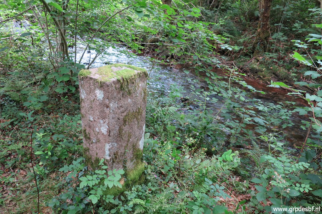 | Bm073, along a stream. (click photo to enlarge) |
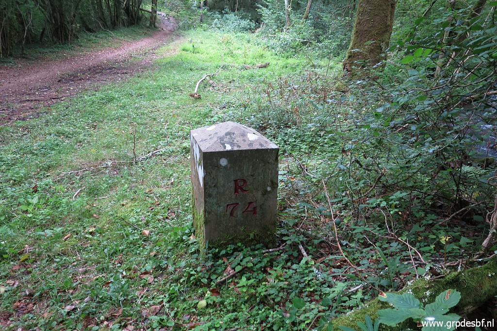 | The last one is even more easy: as we arrive with the car at the spot, bm074 is already visible from the car. Carlos & Conchita have to laugh how easy this one is. (click photo to enlarge) |
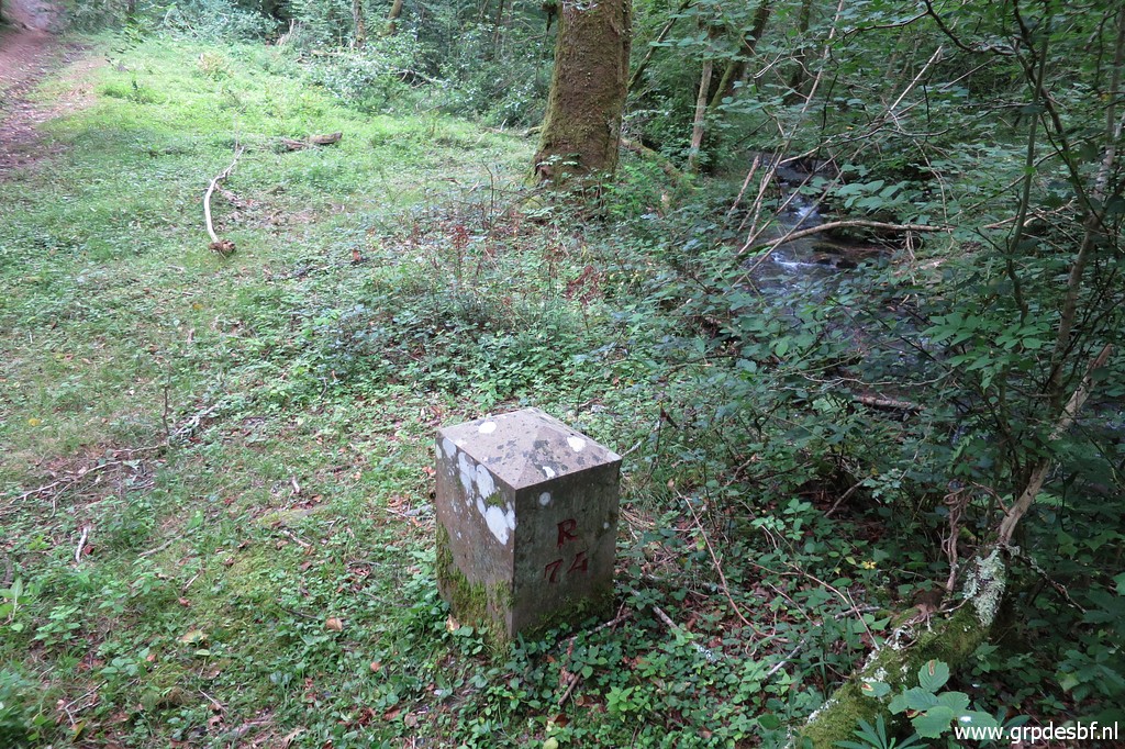 | Bm074 (click photo to enlarge) |
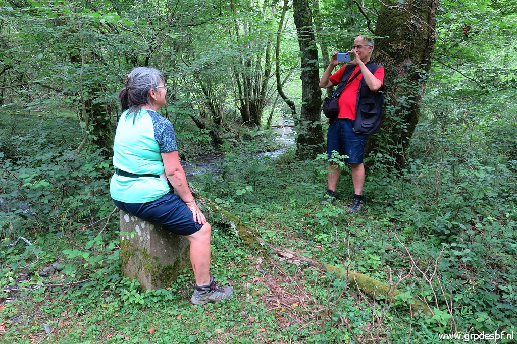 | Bm074 The last one for today, end of a sometimes challenging but very pleasant trip with Carlos & Conchita. We finish in Dantxaria, on a terrace, celebrating with beer and a late lunch our results. (click photo to enlarge) |