|
The
bordermarkers of the Pyrenees : all my trips
|
|
| -
sunday 13 june
2021 - Search for the bornes de pacage T, S and U  previous
trip
next
trip previous
trip
next
trip  |
 |
 |
Summary:
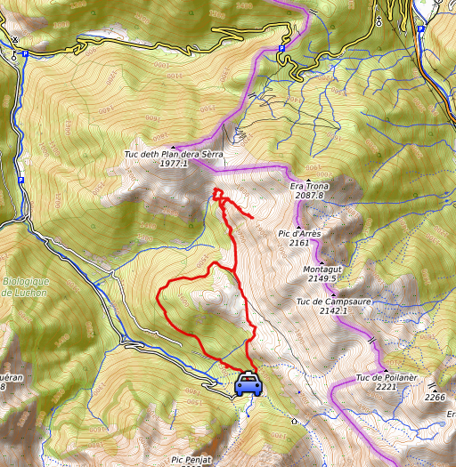
part of a series of 8 daytrips in june 2021 near Bagnères-de-Luchon and
Col de Somport. This is day 4. Today: from Hospice de France a tiring search (in vain) for the bornes de pacage T, S and U. See this page for all the information about these markers. They are not international bordermarkers but markers meant to delimitate Spanish grazing grounds ('pacages') on French territory. From the 28 markers replaced around 1960, there are 9 markers missing. Weather: sunny, hot Basecamp: camping Les Myrtilles in the village of Moustajon |
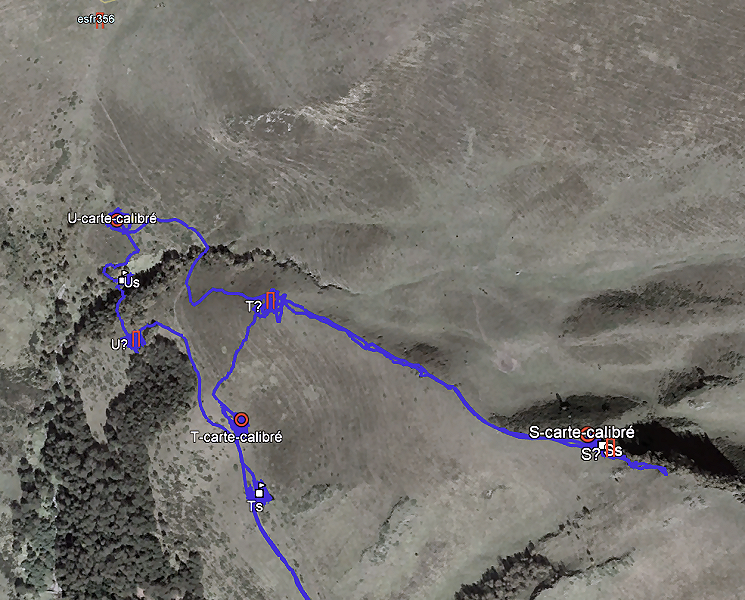 track-20210613.kml
(click to open this trip in Google Earth or copy link to Google Maps; click right on this link to download gpx-version). The gps-track has not been manually corrected which explains the inaccuracy and misalignment at some points. For cartographic backgrounds: see the cartography-page Gps-waypoints of all bordermarkers (most recent version): kml: esfr-bordermarkers-all-waypoints.kml gpx: esfr-bordermarkers-all-waypoints.gpx (with elevation added by gpsvisualizer.com) |
|
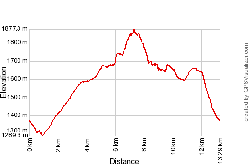 |
According to Garmin
Basecamp (uncorrected original track): Distance: 14,5 km Max-height: 1879m Min-height: 1295m Elevation: +834m -812m Total elevation: 1646m Start 8:18 Finish 16:41 Total time: 8:23 |
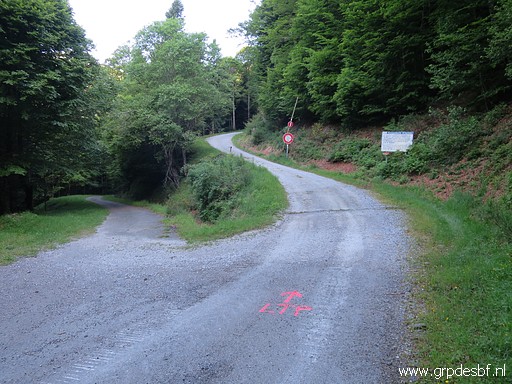 |
Having parked my car at Hospice de France, I walk along a road and dirtroad (click photo to enlarge) |
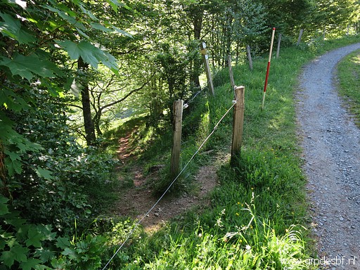 |
until I can descend on this trail (click photo to enlarge) |
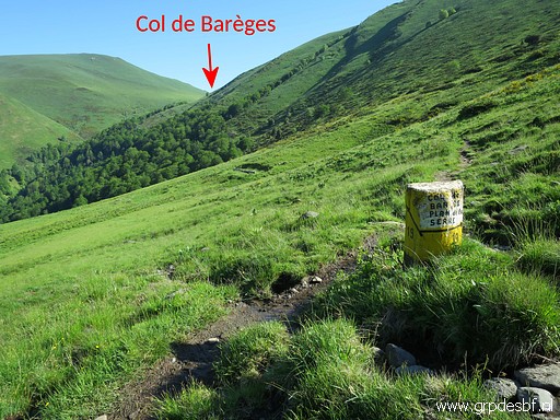 |
to the trail which leads to Col de Barèges. (click photo to enlarge) |
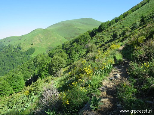 |
Continuing along that trail (click photo to enlarge) |
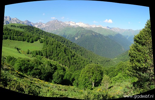 |
Marvellous view to the SE. I am close to my first spot to check. (click photo to enlarge) |
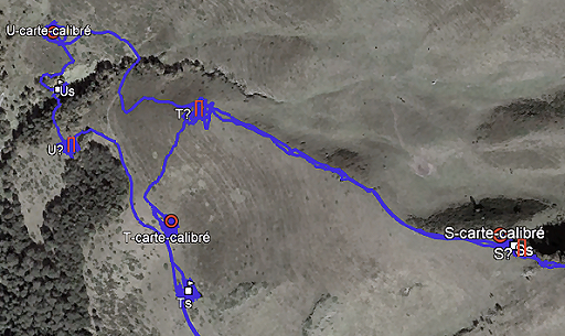 |
From each missing marker I have prepared 3 supposed locations. Indicated as (U as example): U? -> figured out by me in 2019 U-S -> as estimated by Charles Darrieu U-carte-calibré -> based on a recently acquired map from Jean Sermet, calibrated within Google Earth In general, I think that the calibrated positions are the most reliable. But it depends. |
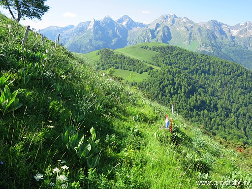 |
This is my first searching spot, not far above the trail: of borne de pacage T - supposed position according to Charles Darrieu. I put a flag at the gps-waypoint of Charles Darrieau. Then I start traversing systematically the area around the waypoint, an area of approximately 60x60m. I use my geodetical pole as a pricker. I find nothing. (click photo to enlarge) |
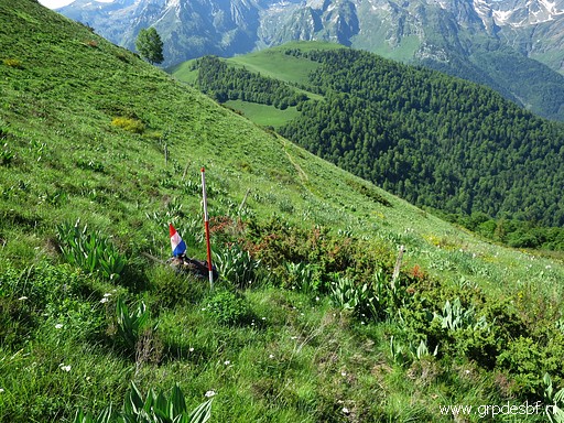 |
The next stop is at the waypoint of borne de pacage T - supposed position based on the calibrated map of Jean Sermet. Same story here: no result. (click photo to enlarge) |
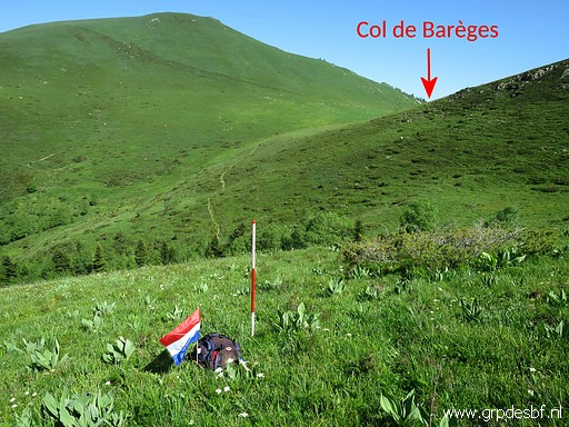 |
Finally the spot of borne de pacage T - supposed position as figured out by me in 2019. Also here: extensive search around the flag with no result. (click photo to enlarge) |
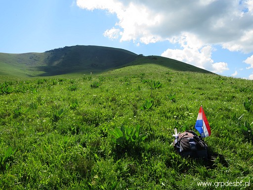 |
Borne de pacage T - supposed position as figured out by me in 2019 Now looking uphill along the ridge towards the supposed locations of S. (click photo to enlarge) |
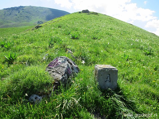 |
In between: borne de pacage A (click photo to enlarge) |
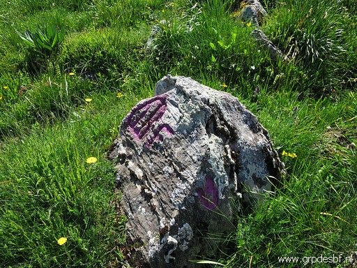 |
At the rock besides borne de pacage A, we see a weapon, an engraving of the 'barres
d'Aragon' (click photo to enlarge) |
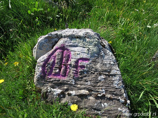 |
Borne de pacage A (click photo to enlarge) |
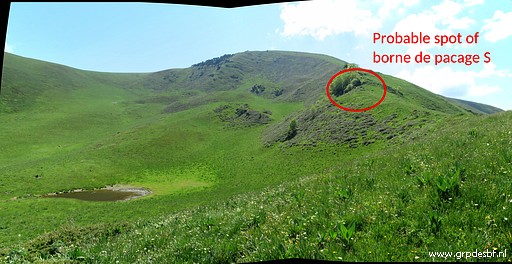 |
Borne de pacage S - supposed positions in the distance. Of the missing markers, the position of S is probably the most reliable. You can see a small strip of forest which can be already seen on the maps of Jean Sermet with the S located (by him) on its western edge. (click photo to enlarge) |
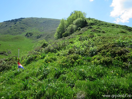 |
Still I have three separate waypoints and I will place flage at each of them. This is the first one: borne de pacage S - supposed position based on the calibrated map of Jean Sermet (click photo to enlarge) |
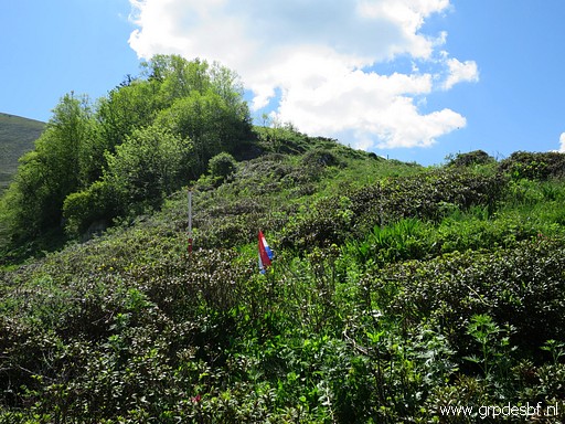 |
This is the second one: borne de pacage S - supposed position according to Charles Darrieu (click photo to enlarge) |
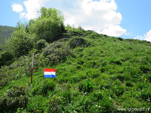 |
Then the third one: borne de pacage S - supposed position as figured out by me in 2019 (click photo to enlarge) |
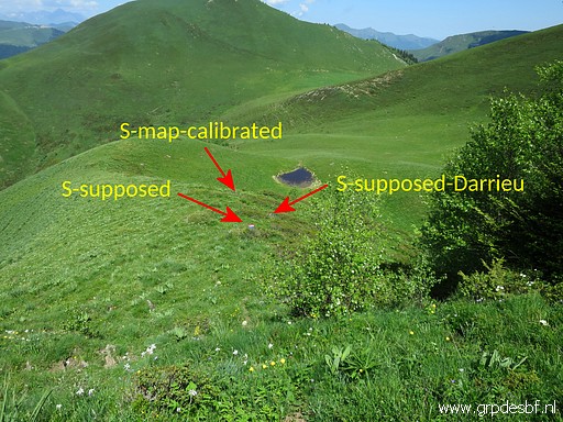 |
Now all three seen from above (click photo to enlarge) |
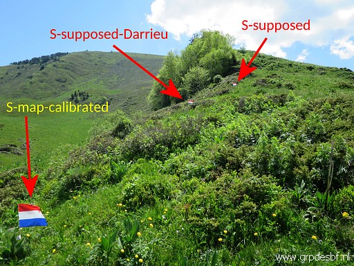 |
And all three seen from the bottom. Needless to say that I investigated thoroughly the terrain around them. But I find nothing. I remember what Charles Darrieu wrote me: "Searching an area systematically is tiring and discouragement arrives soon because one doesn't know if the marker is still in place or if it has been destroyed" (click photo to enlarge) |
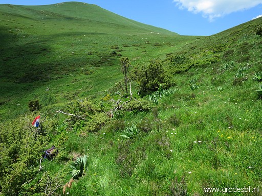 |
I descend back to the trail and proceed to: borne de pacage U - supposed position based on the calibrated map of Jean Sermet Also here: no result. (click photo to enlarge) |
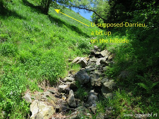 |
Borne de pacage U - supposed position according to Charles Darrieu Turned out to be on the steep hillside descending to this streambed. I find nothing. (click photo to enlarge) |
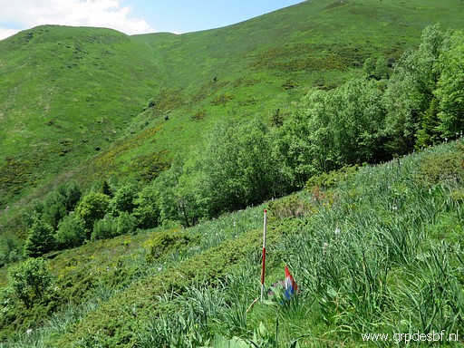 |
Then the last place to search: borne de pacage U - supposed position as figured out by me in 2019 You won't be surprised: I find nothing. (click photo to enlarge) |
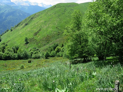
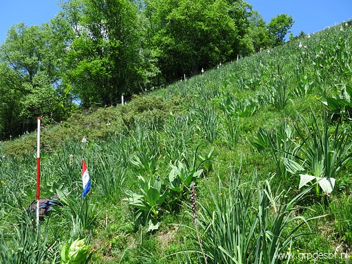 |
Same spot (borne de pacage U - supposed position as figured out by me in 2019) but looking uphill: you can see a fence. (click photo to enlarge) |
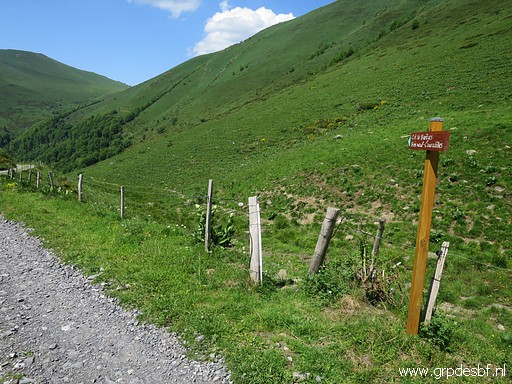
 |
This is that fence. It puzzled me: could this be a fence between different 'pacages'? (click photo to enlarge) Anyway, I've had enough and return. |
 |
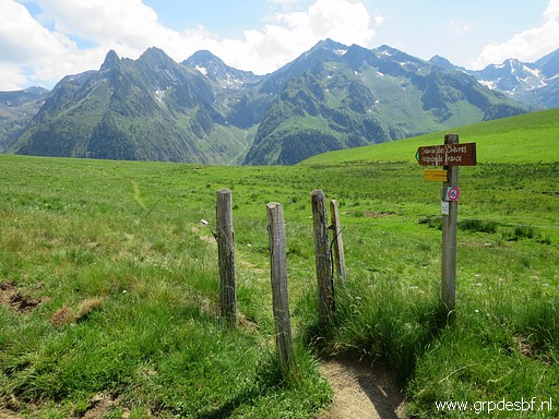
This is the spot (near Cabane de Campsaure) where the trail to Col de Barèges starts. (click photo to enlarge) |
 |
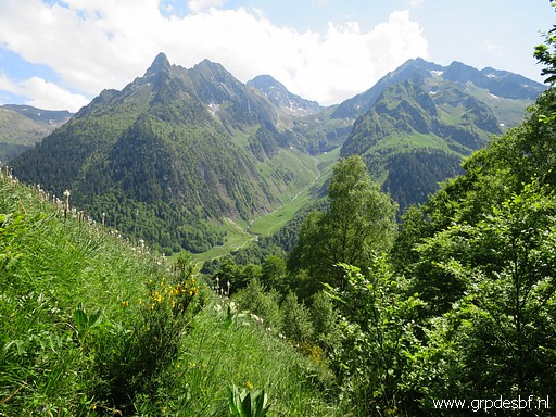
And this - at the other side of Cabane de Campsaure - is the beginning of the direct trail to Hospice de France. (click photo to enlarge) |
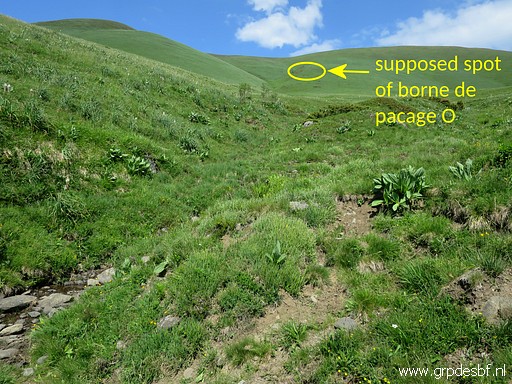 |
While descending and crossing a dry stream I can recognize where borne de pacage O must have been placed. (click photo to enlarge) |
 |
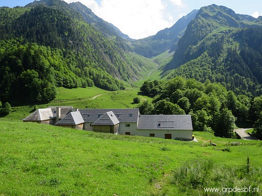
View to Port de Vénasque (click photo to enlarge) |
 |
Arriving at Hospice de France (click photo to enlarge) |
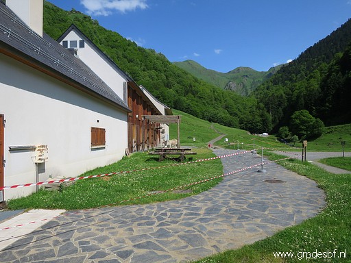 |
which is closed because of the Covid19-crisis. Returning to the camping. (click photo to enlarge) |
 previous
trip
next
trip previous
trip
next
trip  |
|
