|
The
bordermarkers of the Pyrenees : all my trips
 |
|
| -
tuesday 15 june
2021 - Redoing bm306-308 and trial to reach bm296 |
 |
 |
Summary:
part of a series of 8 daytrips in june 2021 near Bagnères-de-Luchon and
Col de Somport. This is day 5. Today: two trips: - redoing bm306-308 and the traversing of the hillside towards bm309 - a trial to reach bm296 along the stream. Weather: sunny, nice |
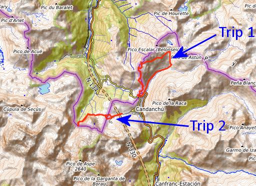
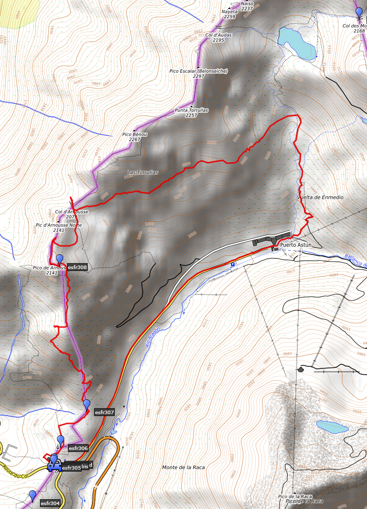
| TRIP 1 |
|
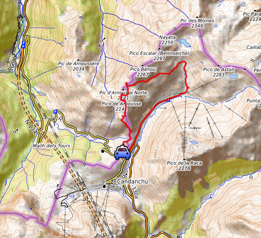 |
From Col du Somport redoing the traversing of the hillside from bm308 towards 309. |
 track-20210615-trip1.kml
(click to open this trip in Google Earth or copy link to Google Maps; click right on this link to download gpx-version). The gps-track has not been manually corrected which explains the inaccuracy and misalignment at some points. For cartographic backgrounds: see the cartography-page Gps-waypoints of all bordermarkers (most recent version): kml: esfr-bordermarkers-all-waypoints.kml gpx: esfr-bordermarkers-all-waypoints.gpx (with elevation added by gpsvisualizer.com) |
|
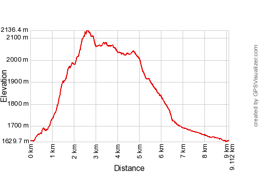 |
According to Garmin
Basecamp (uncorrected original track): Distance: 9,6 km Max-height: 2130m Min-height: 1632m Elevation: +592m -642m Total elevation: 1234m Start 11:06 Finish 15:09 Total time: 4:03 |
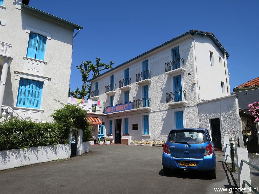 | Yesterday I spent a day of rest in Lourdes, staying in the same hotel as every year: hotel d'Annécy. (click photo to enlarge) |
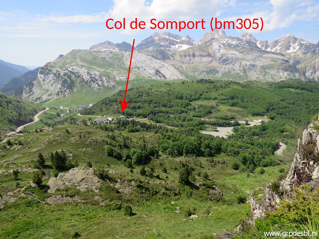
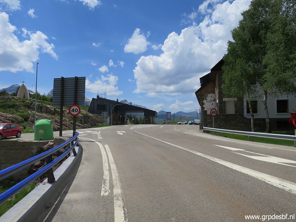
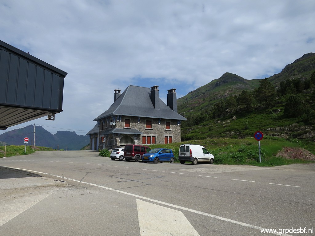 | This morning I drive to Col de Somport. It was my plan to do a 2-days trip from parking Sansanet but somehow I missed the side-way to that parking and ended up here. So I changed my plan. First a cup of coffee in the bar and then on my way. (click photo to enlarge) |
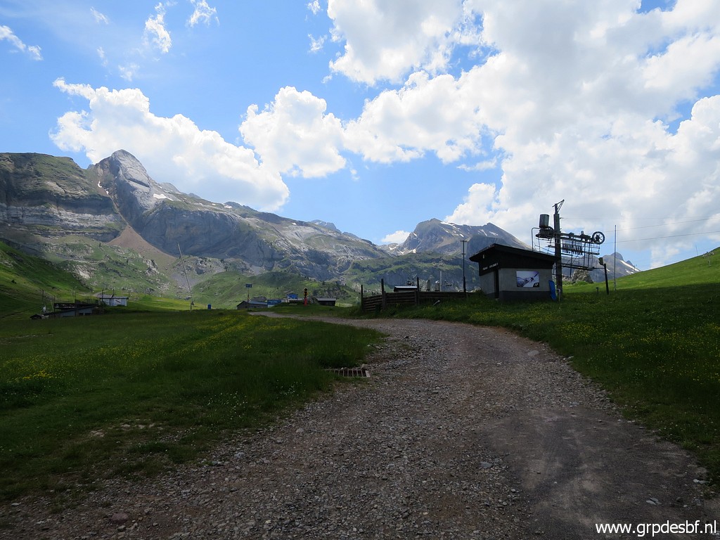
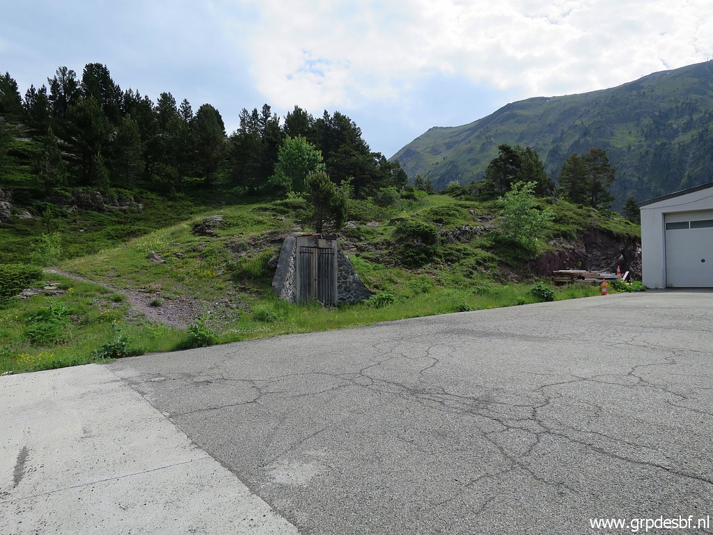 | Behind a building at the NW-corner of the Col a trail starts (click photo to enlarge) |
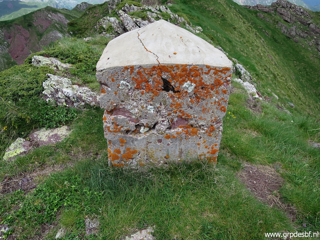
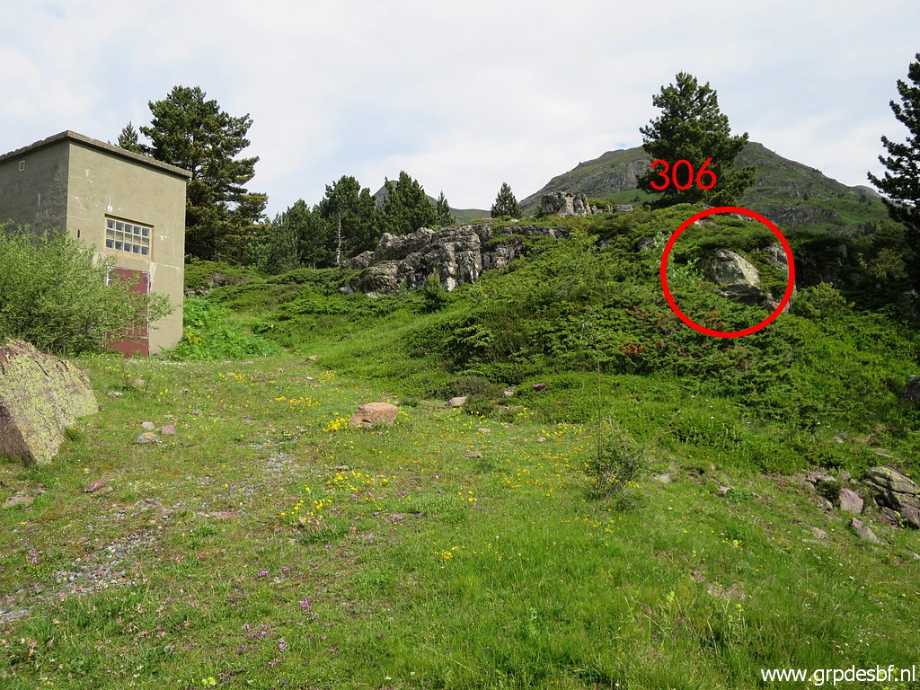 | It brings you quickly to this small building and bm306 (click photo to enlarge) |
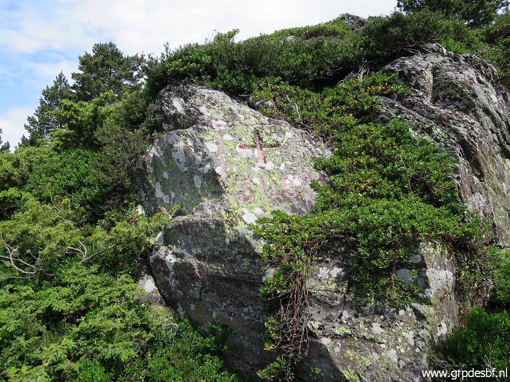 | Bm306 (click photo to enlarge) |
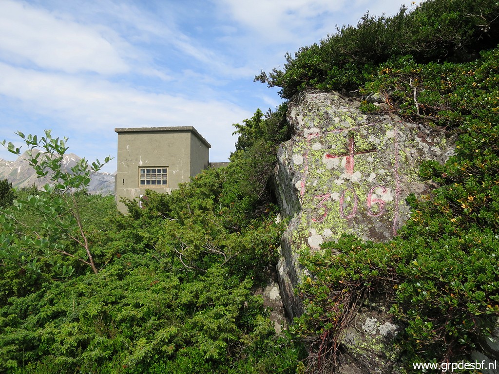 | Bm306 (click photo to enlarge) |
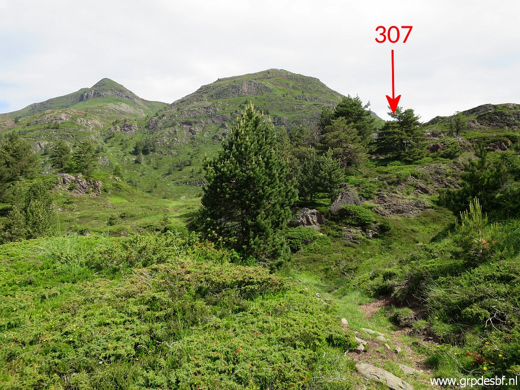 | Getting to bm307 by crossing a hillridge (click photo to enlarge) |
 | to a sort of valley. (click photo to enlarge) |
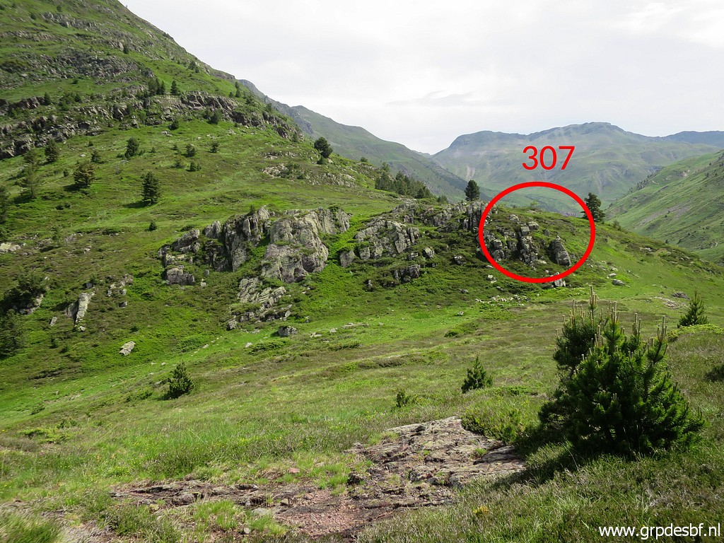
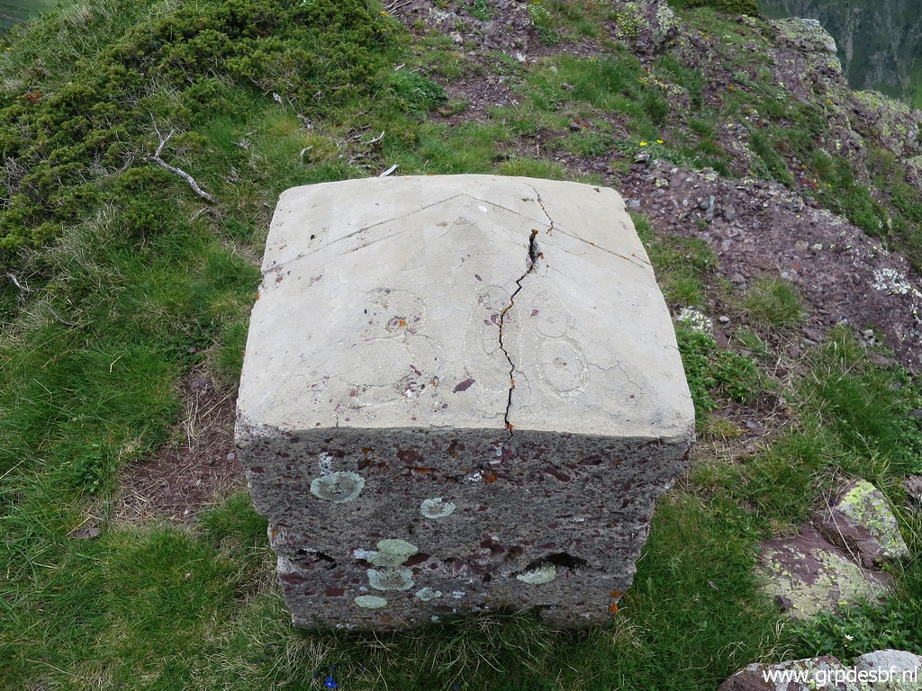
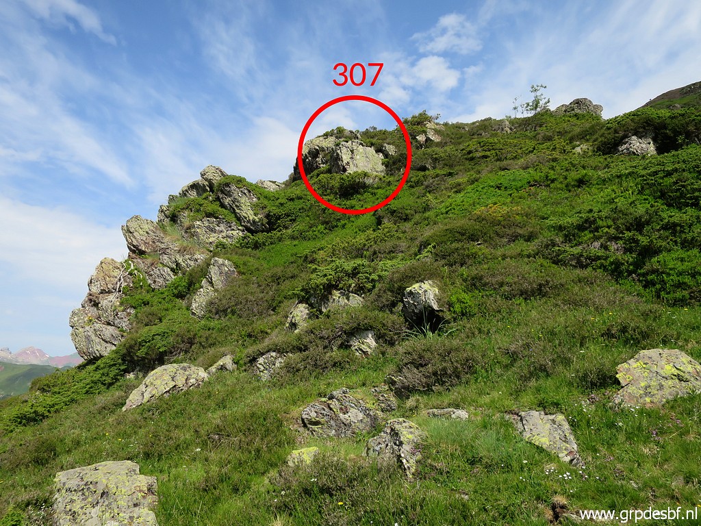 | Bm307 in sight (click photo to enlarge) |
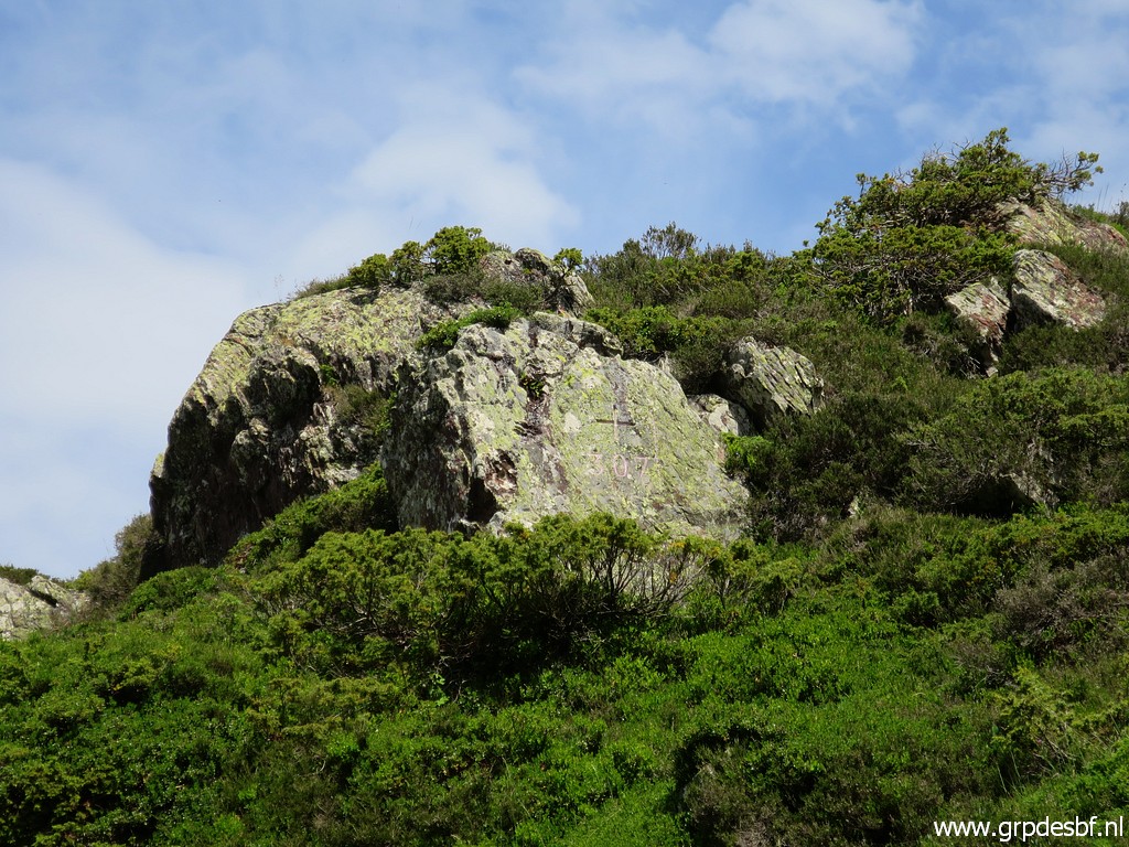 | Bm307 (click photo to enlarge) |
 | Bm307 (click photo to enlarge) |
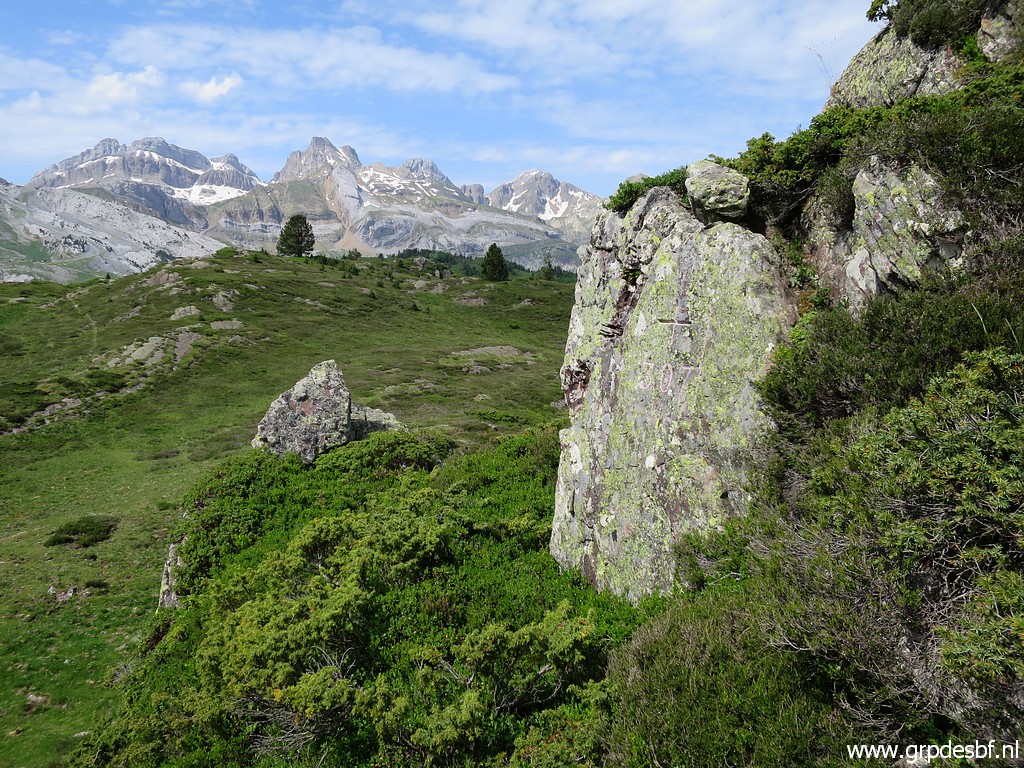
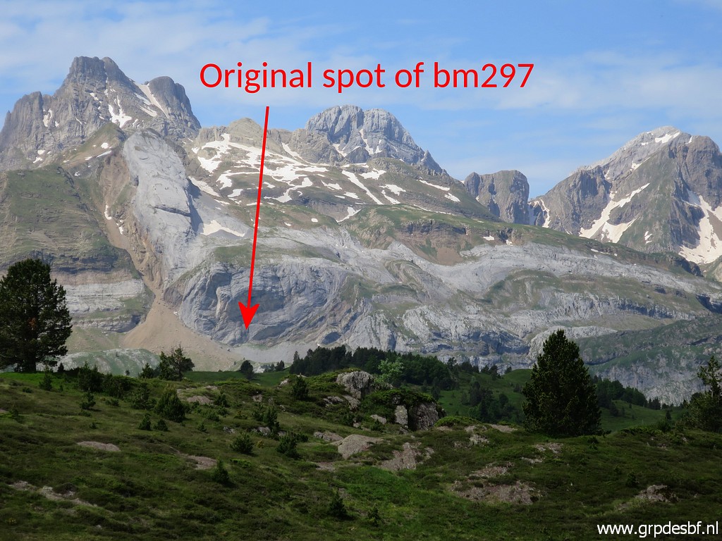 | In the far distance the original spot of bm297 in sight. I will explore that spot tomorrow. (click photo to enlarge) |
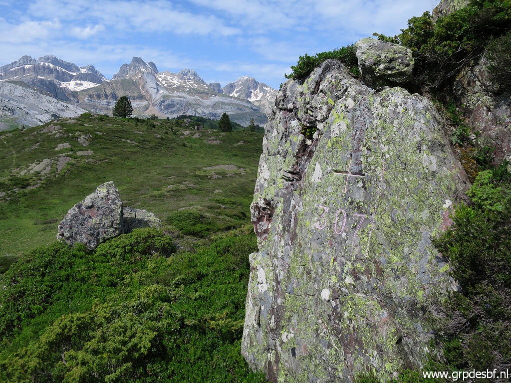 | Bm307 (click photo to enlarge) |
 | Bm307 (click photo to enlarge) |
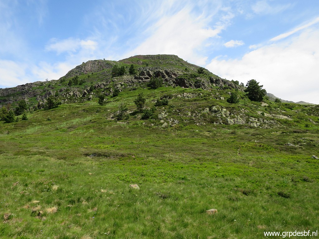 | Then I decide to climb directly towards bm308 (click photo to enlarge) |
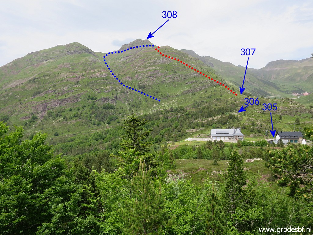 |
There are two routes to bm308. This is a picture I will take tomorrow from bm304. The red one is the one I will do today. I followed the blue route on 7-9-2009 and on 27-8-2012 (descending by the red route). Which one is the best? In terms of distance combined with effort, there is not much difference. But after this trip I will conclude that the blue one is easier in terms of wayfinding. |
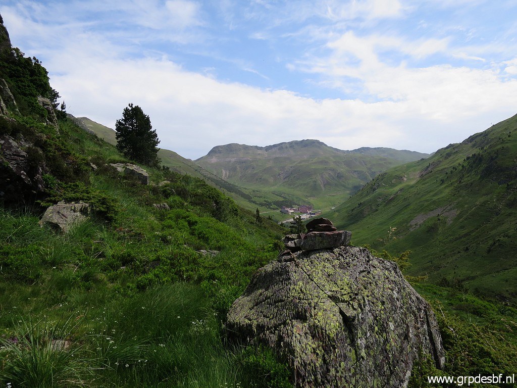 | There are some cairns guiding you uphill (click photo to enlarge) |
 | Looking back at Col du Somport (click photo to enlarge) |
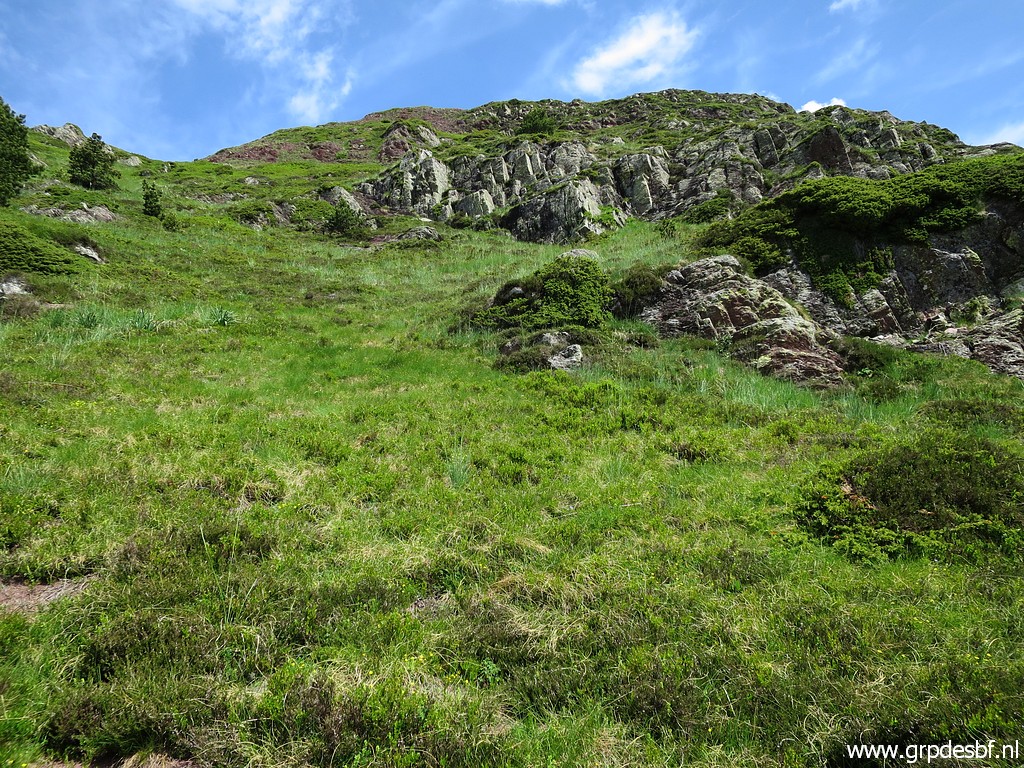 | Continuing uphill (click photo to enlarge) |
 | Getting closer to the final climb (click photo to enlarge) |
 | The last part in sight (click photo to enlarge) |
 | A bit further on (click photo to enlarge) |
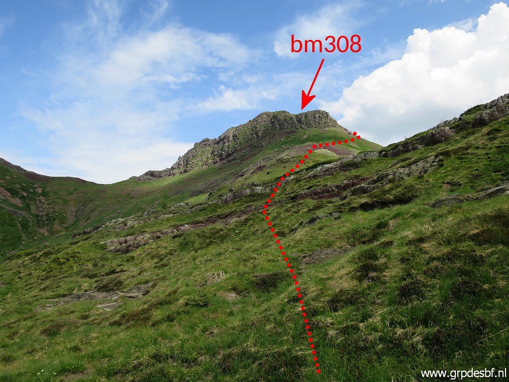
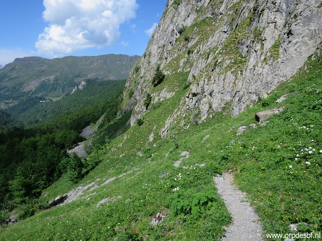
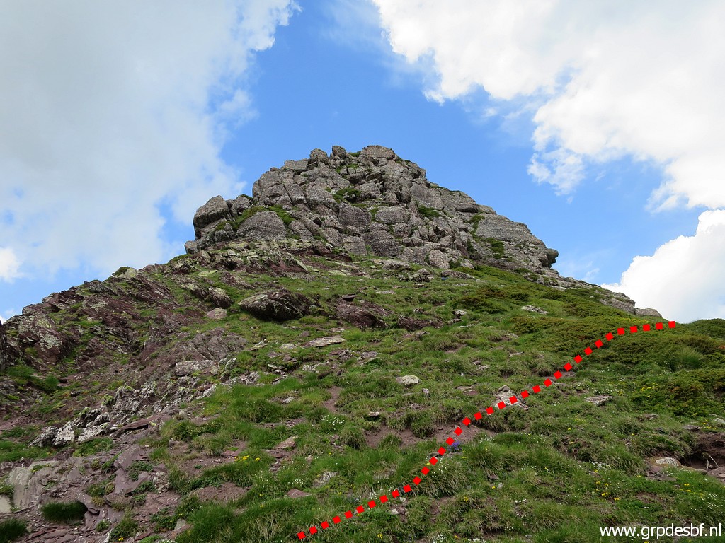 | You have to go around underneath this rock summit, it is too steep to climb directly to bm308. At the N-side of the hillridge you can climb on the grassy hillside (click photo to enlarge) |
 | to bm308. (click photo to enlarge) |
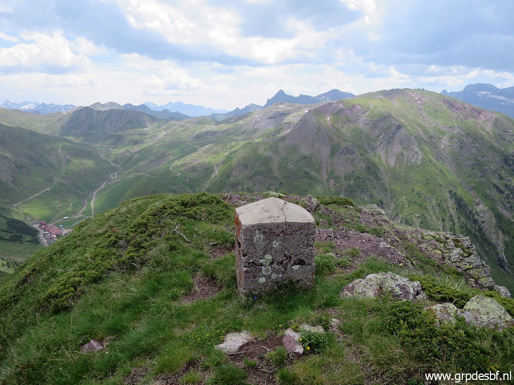
 | Bm308. looking W (click photo to enlarge) |
 | Bm308 (click photo to enlarge) |
 | Bm308 (click photo to enlarge) |
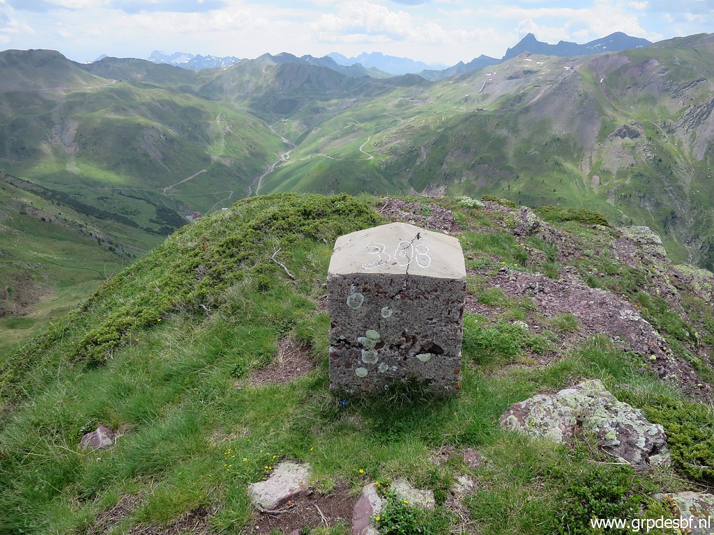 | Bm308 (click photo to enlarge) |
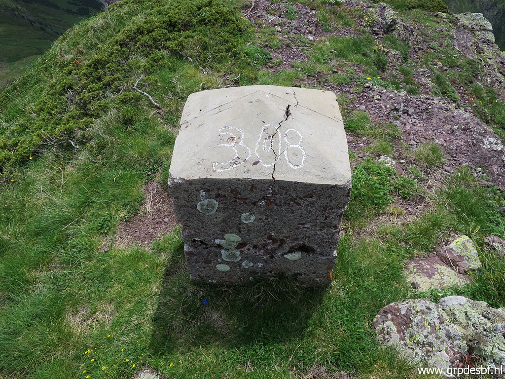 | Bm308 (click photo to enlarge) |
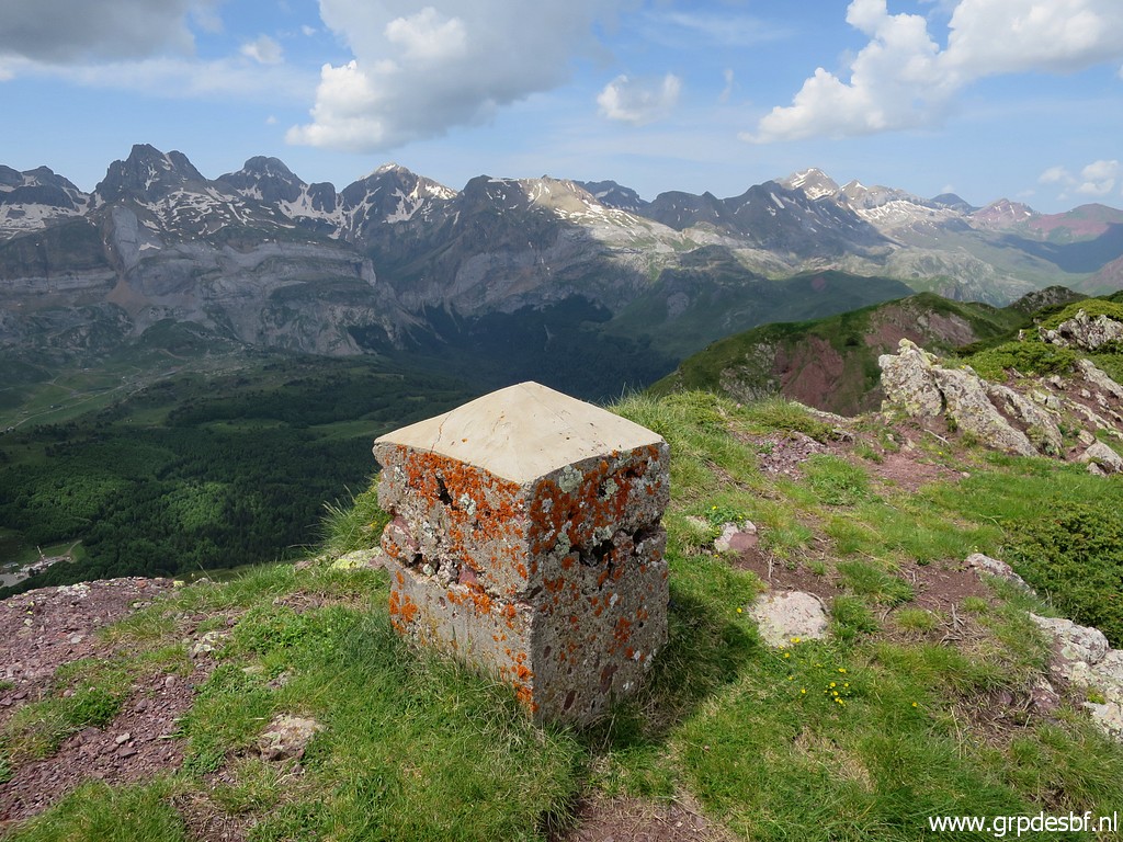 | Bm308 (click photo to enlarge) |
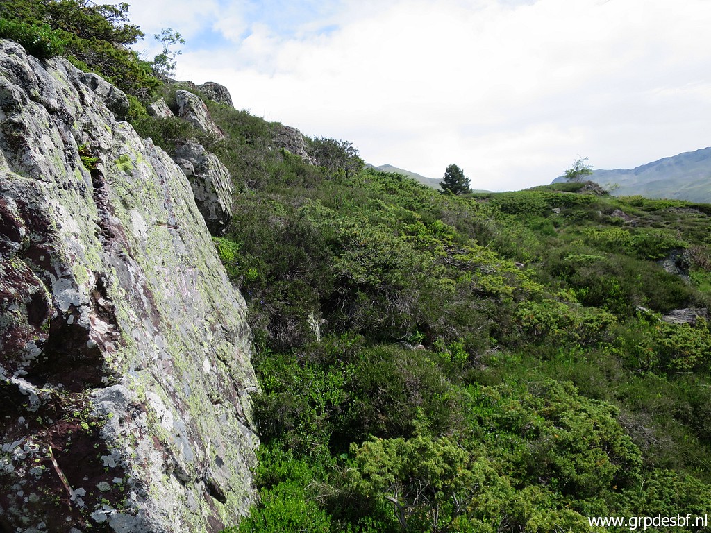
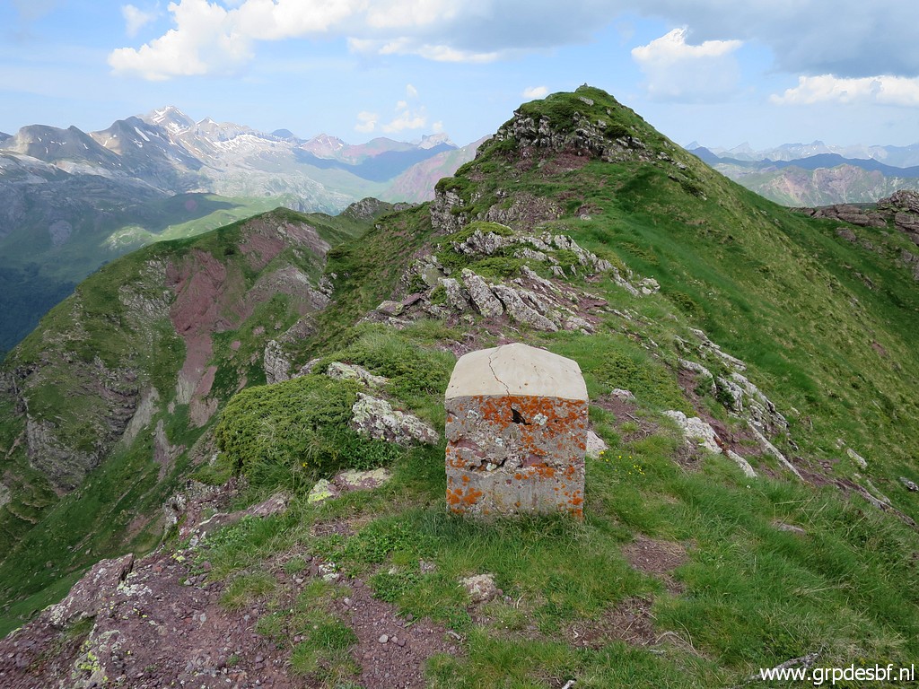
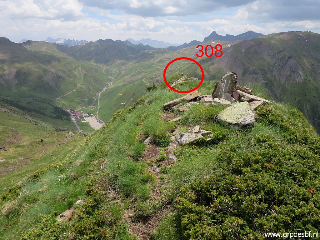 | Walking W on the hillridge and looking back to bm308 (click photo to enlarge) |
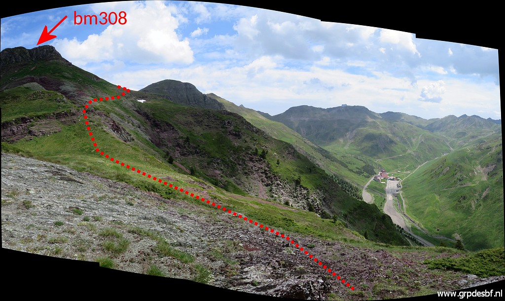
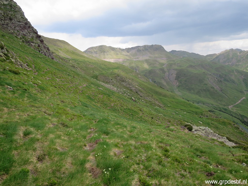
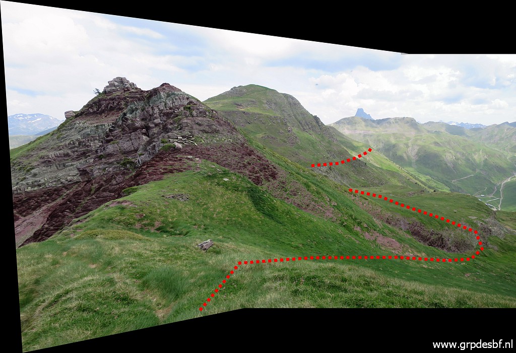 | A view ahead to the N with my approximate route. On the maps we see also a trail over the hillridge but traversing along the hillside is easier and faster. Within an hour I will arrive at the trail climbing to bm309. (click photo to enlarge) |
 | On my way (click photo to enlarge) |
 | continuing, mostly on cattle tracks (click photo to enlarge) |
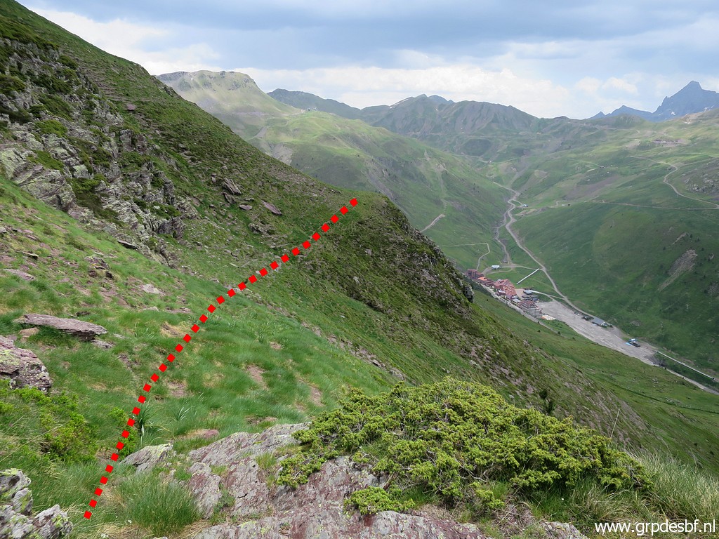
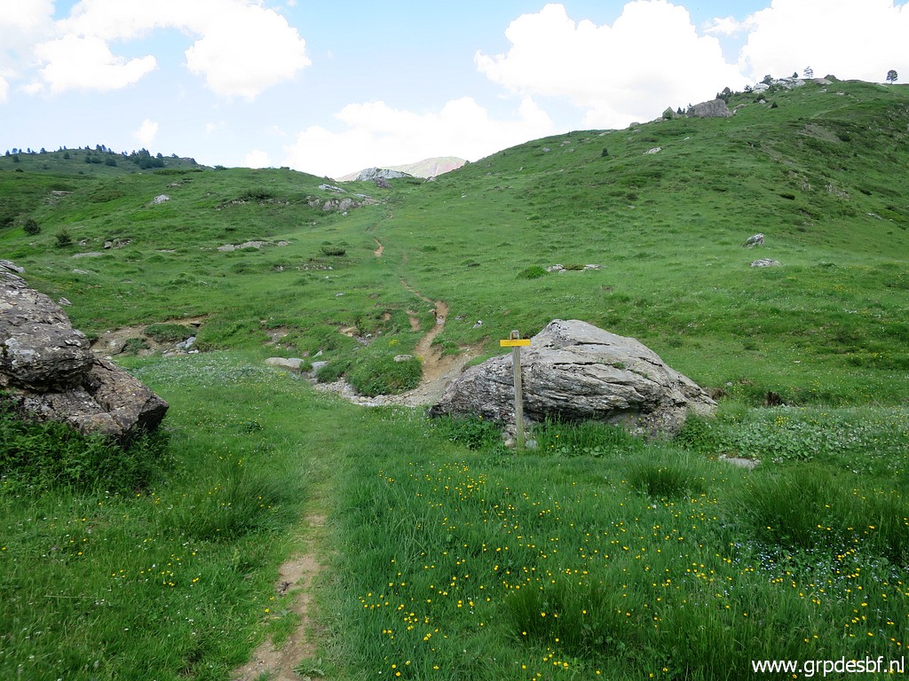
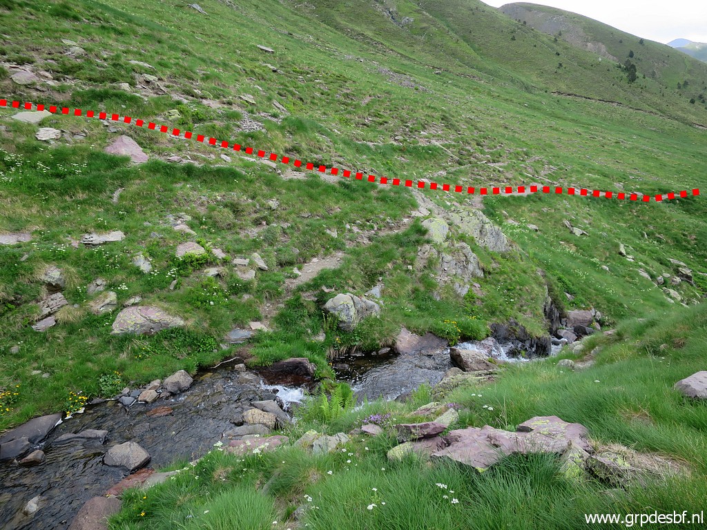 | until I reach the stream which descends from the Ibon de Escalar, close to bm309. On the other side the trail uphill to the Ibon and bm309. (click photo to enlarge) I know enough: traversing along the hillside until you can connect to the trail to bm309 is an efficient connection between bm308 and 309. I descend along the trail |
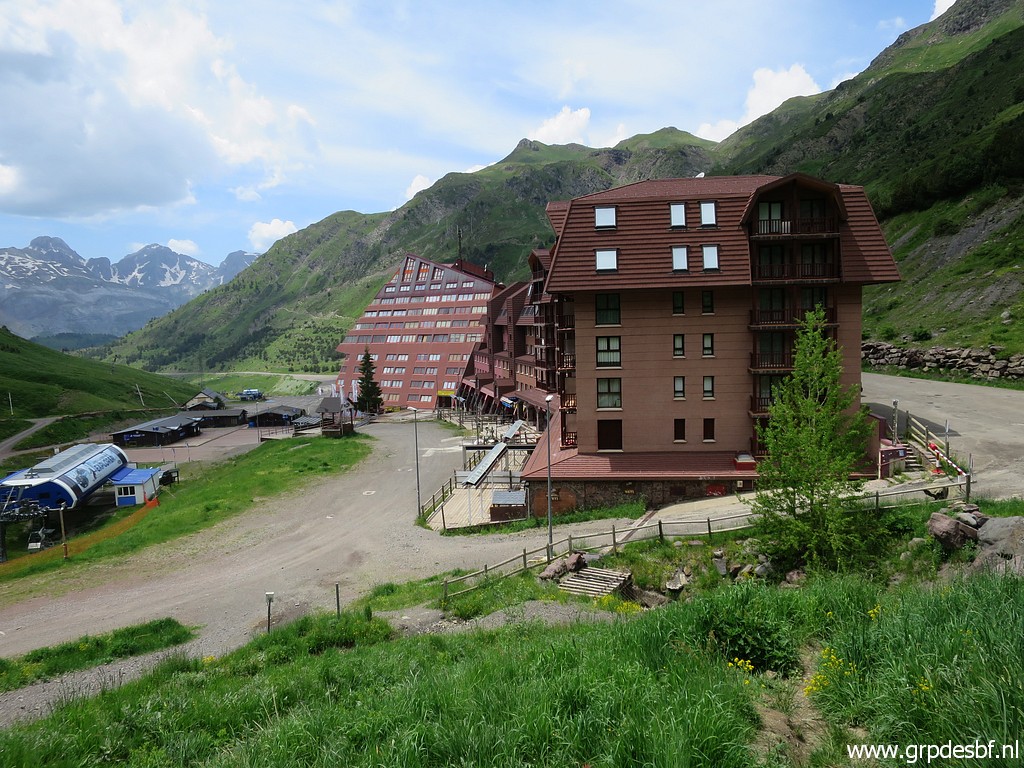 | to the ski station of Astún. (click photo to enlarge) |
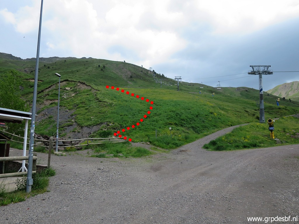 | Looking back to where the trail to bm309 starts from the ski station. Walking back along the road to (click photo to enlarge) |
 | Col du Somport (click photo to enlarge) |
| TRIP 2 |
|
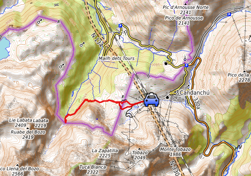 |
I drive to a large parking at the ski resort of Candanchu. I want to visit in the remaining 2-3 hours bm296. |
 track-20210615-trip2.kml (click to open this trip in Google Earth or copy link to Google Maps; click right on this link to download gpx-version). The gps-track has not been manually corrected which explains the inaccuracy and misalignment at some points. For cartographic backgrounds: see the cartography-page Gps-waypoints of all bordermarkers (most recent version): kml: esfr-bordermarkers-all-waypoints.kml gpx: esfr-bordermarkers-all-waypoints.gpx (with elevation added by gpsvisualizer.com) |
|
 |
According to Garmin
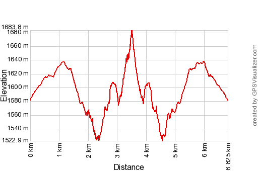
Basecamp (uncorrected original track): Distance: 7,6 km Max-height: 1658m Min-height: 1522m Elevation: +403m -399m Total elevation: 802m Start 15:23 Finish 18:25 Total time: 3:02 |
 | Progress is easy on these dirtroads (click photo to enlarge) |
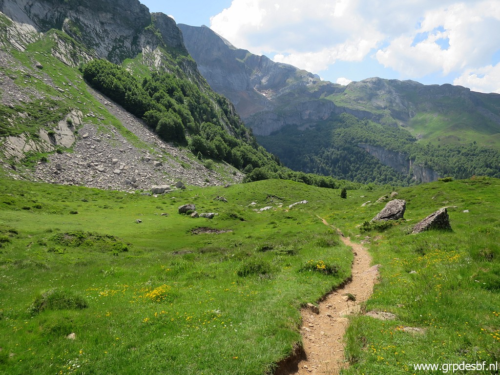 | Then I continue on a trail (click photo to enlarge) |
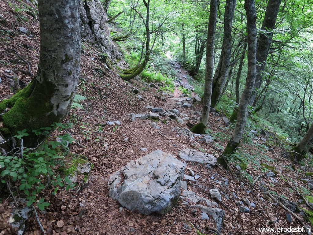 | that traverses a forest (click photo to enlarge) |
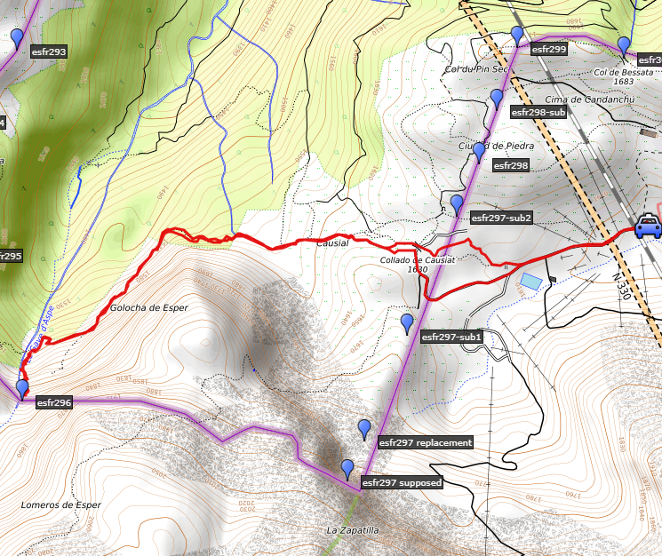
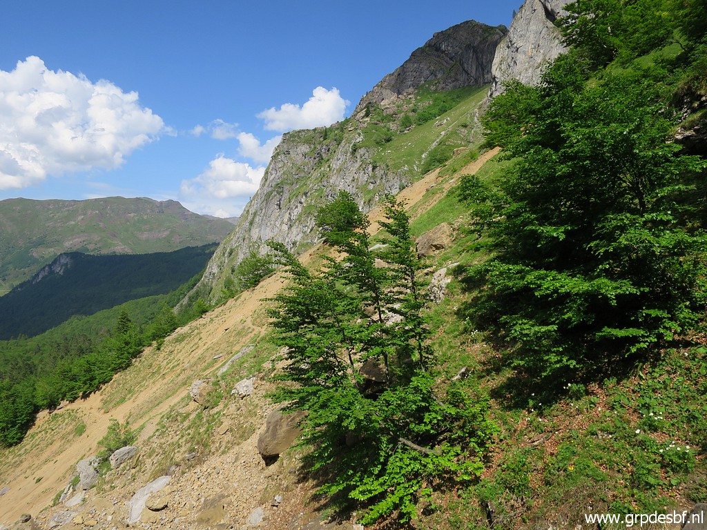
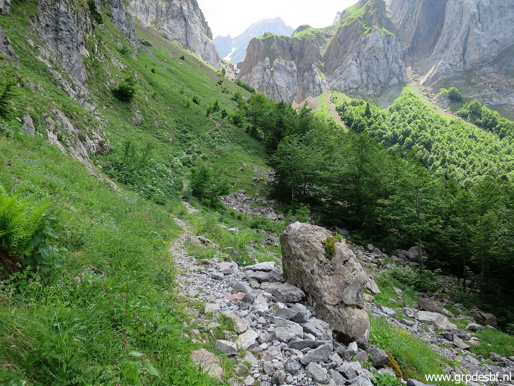 | and returns in open terrain with the Pas d'Aspe in the far distance. That's where bm296 is. (click photo to enlarge) |
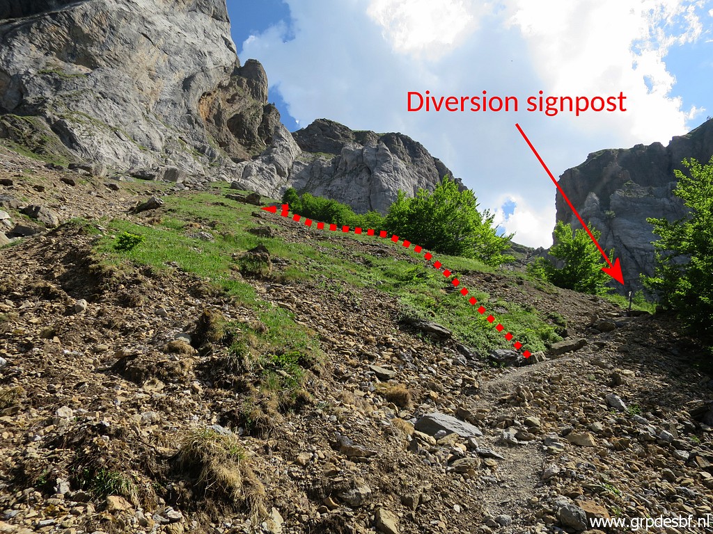
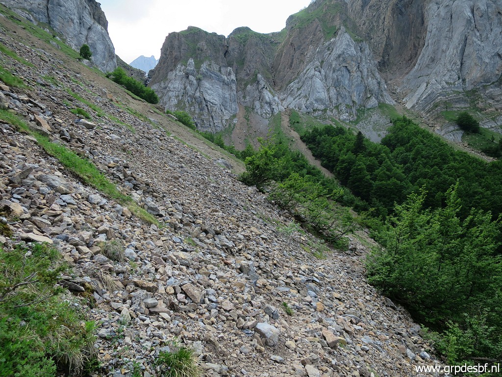 | The trail traverses this rockslide (click photo to enlarge) |
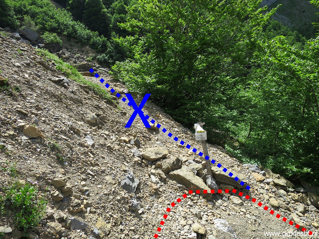 | to arrive at this signpost. The old continuation to the stream has apparently slided away and there is a new diversion. (click photo to enlarge) |
 | The signpost (click photo to enlarge) |
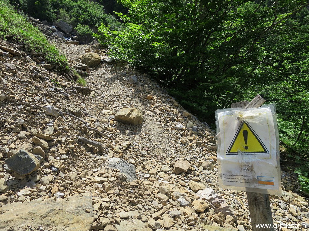
 | Along the diversion-path I arrive at the stream. The trail crosses the stream but I will climb along the stream upstream. (click photo to enlarge) |
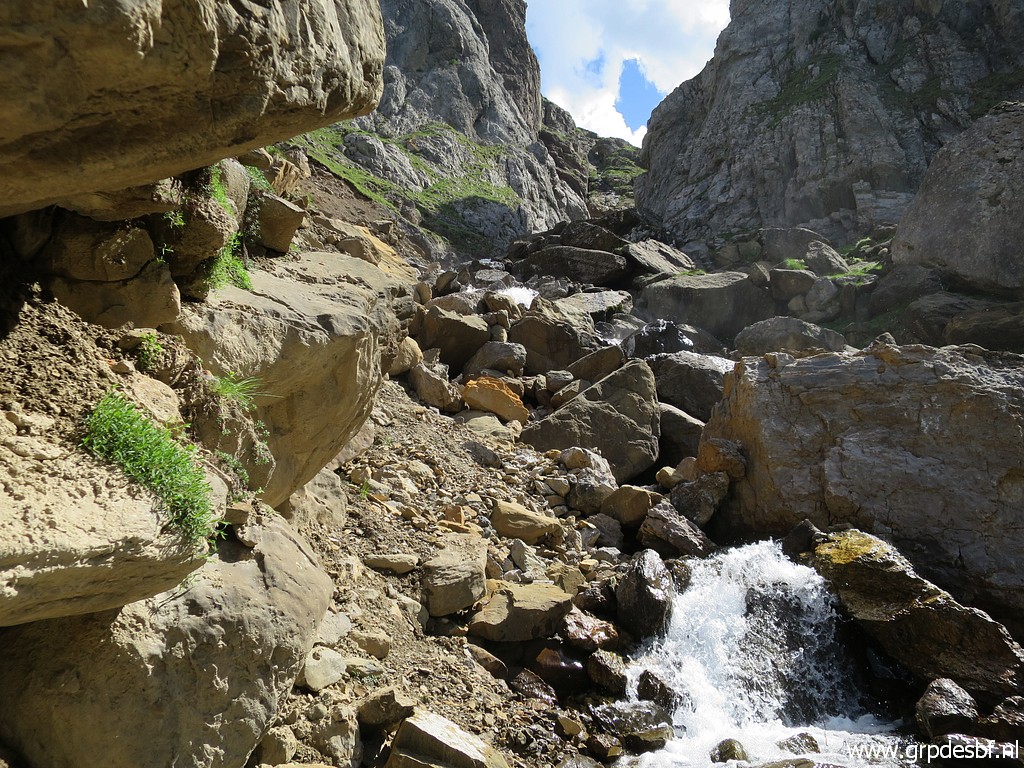 | But that is not easy. There is a lot of water in the stream and I have to climb over rocks to get higher. (click photo to enlarge) |
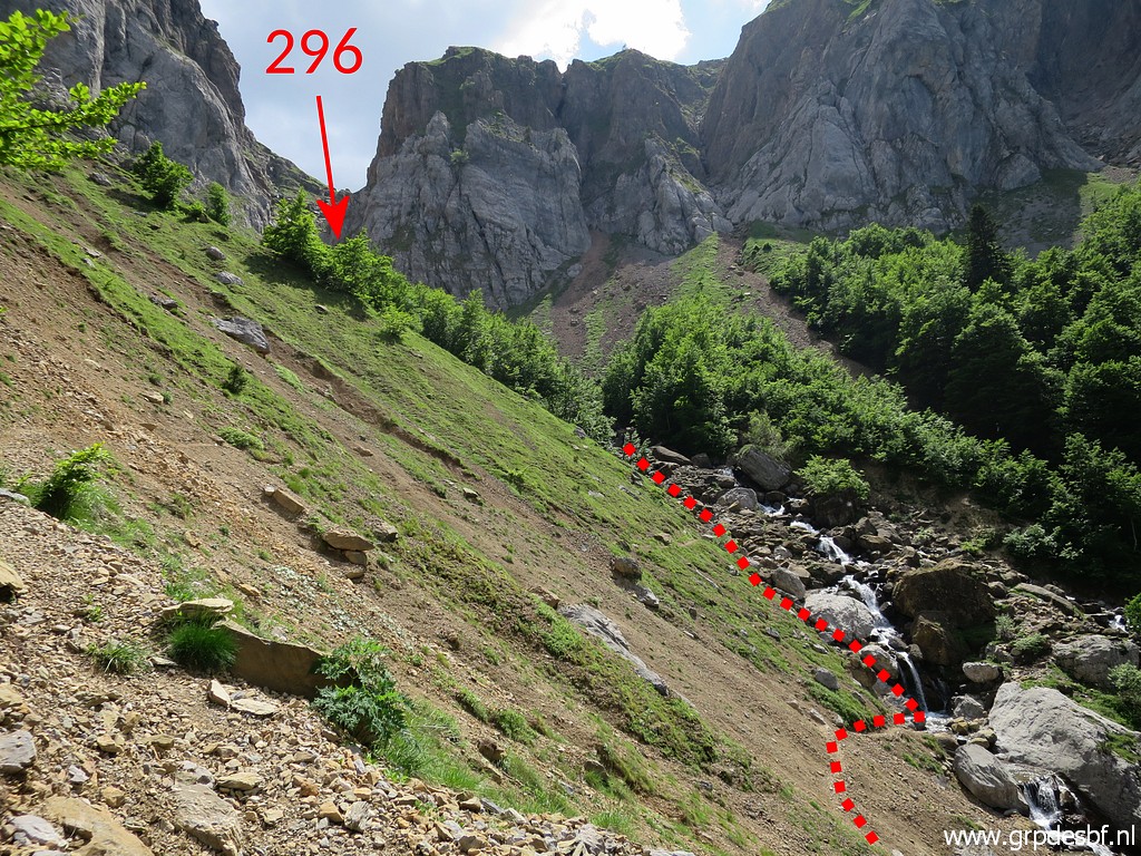
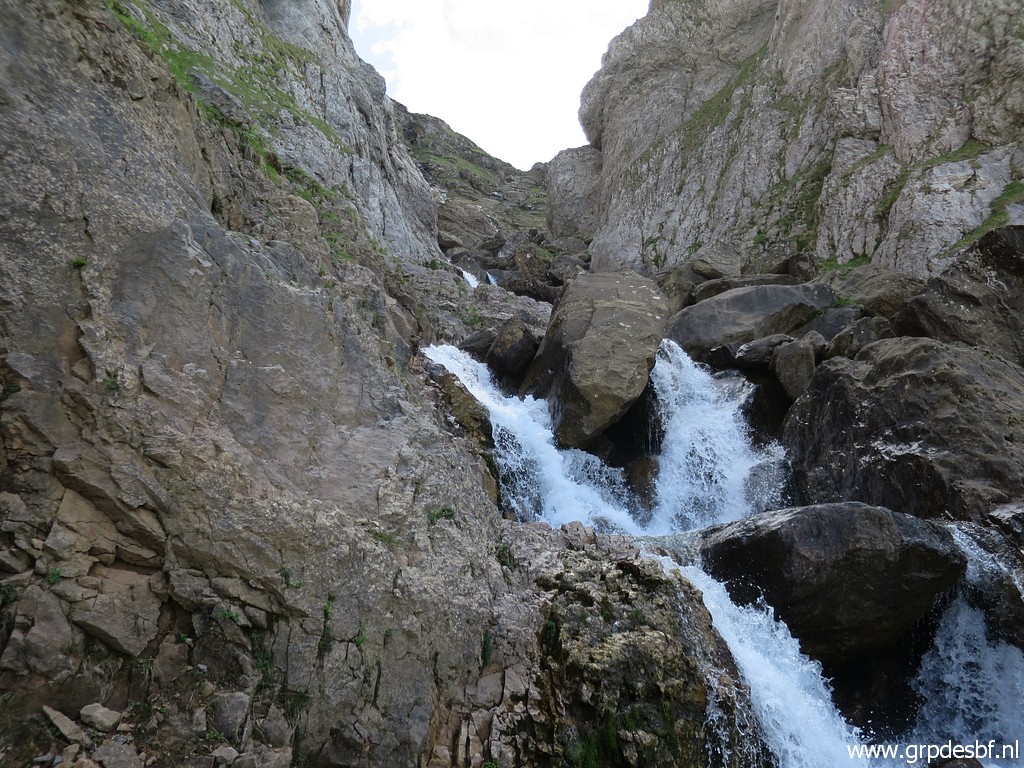 | Finally I get blocked at this point. Only 40m to bm296 still but I have to return. (click photo to enlarge) |
 | On my way back to the trail, this impression of the landslides. (click photo to enlarge) |
 | I have a look how to get to bm296 on a different route, higher on the hillside, above the landslides. I will try the red route tomorrow. (click photo to enlarge) |
 | Walking back, descending to the forest (click photo to enlarge) |
 | and arriving at the plateau to return to my car. (click photo to enlarge) |
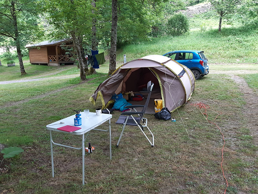 |
I drive to camping Le Gave d'Aspe in Urdos to check in and pitch my tent for the coming days. |