|
The
bordermarkers of the Pyrenees : all my trips
 |
|
| -
sunday 20 june
2021 - Redoing bm310-310bis, visiting railway station Canfranc + N-side railway-tunnel |
 |
 |
Summary:
part of a series of 8 daytrips in june 2021 near Bagnères-de-Luchon and
Col de Somport. This is day 8. Today: two trips: - redoing bm 310 and 310bis - visiting railway station Canfranc and the north entrance of the derelict railway-tunnel. Weather: cloudy Basecamp: Camping Le Gave d'Aspe in Urdos |
 track-20210620.kml
(click to open this trip in Google Earth or copy link to Google Maps; click right on this link to download gpx-version). The gps-track has not been manually corrected which explains the inaccuracy and misalignment at some points. For cartographic backgrounds: see the cartography-page Gps-waypoints of all bordermarkers (most recent version): kml: esfr-bordermarkers-all-waypoints.kml gpx: esfr-bordermarkers-all-waypoints.gpx (with elevation added by gpsvisualizer.com) |
|
 |
According to Garmin
Basecamp (uncorrected original track): Distance: 7,9 km Max-height: 1872m Min-height: 1774m Elevation: +301m -326m Total elevation: 625m Start 9:46 Finish 12:43 Total time: 2:57 |
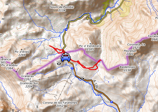
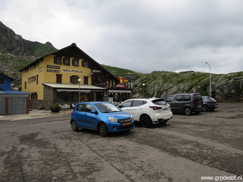 | My plan today was to visit bm309 and investigate a new route from bm309 to 310. But too cloudy and rainy around Col du Somport. So I drive on quiet Spanish roads (sunday morning) to Col du Pourtalet to redo bm310 and 310bis. (click photo to enlarge) |
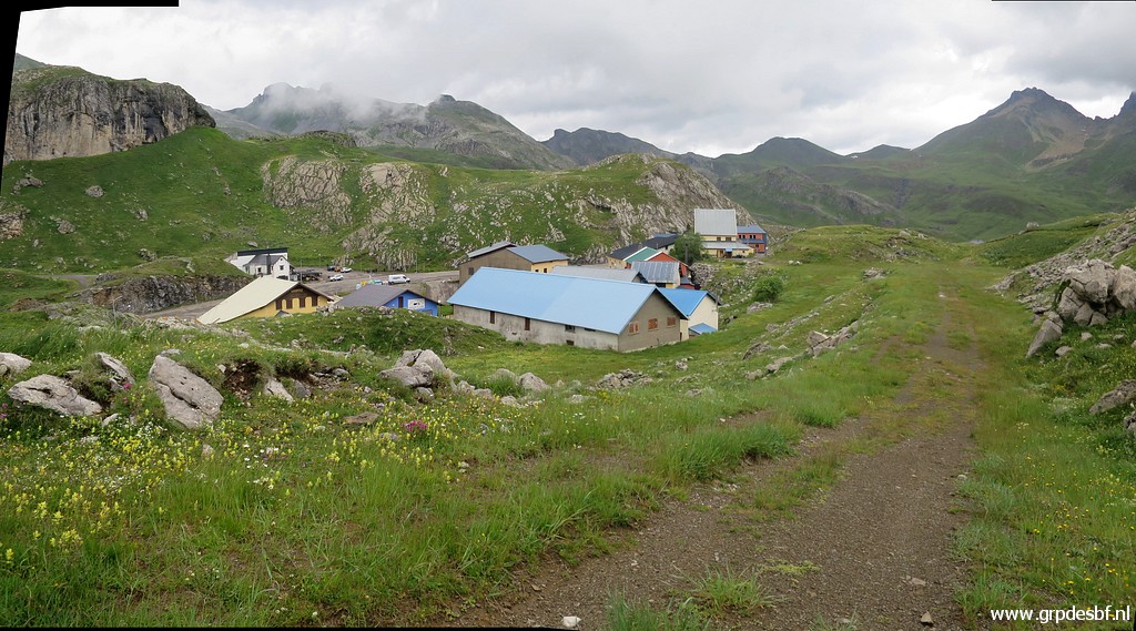 | First to bm310bis. Behind the venta-complex a dirtroad heads SE. (click photo to enlarge) |
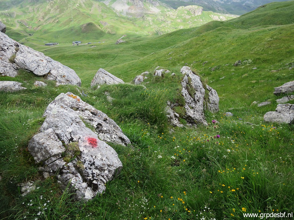
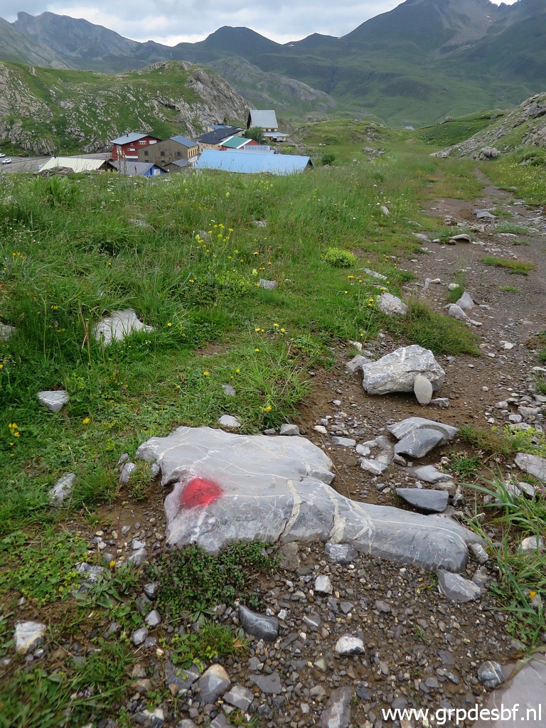 | Red waymarks now and then (click photo to enlarge) |
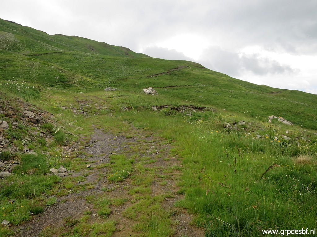 | The dirtroad follows the hillside (click photo to enlarge) |
 | and becomes a trail. (click photo to enlarge) |
 | Still the red waymarks to guide me though I have no idea to where they ultimately lead. (click photo to enlarge) |
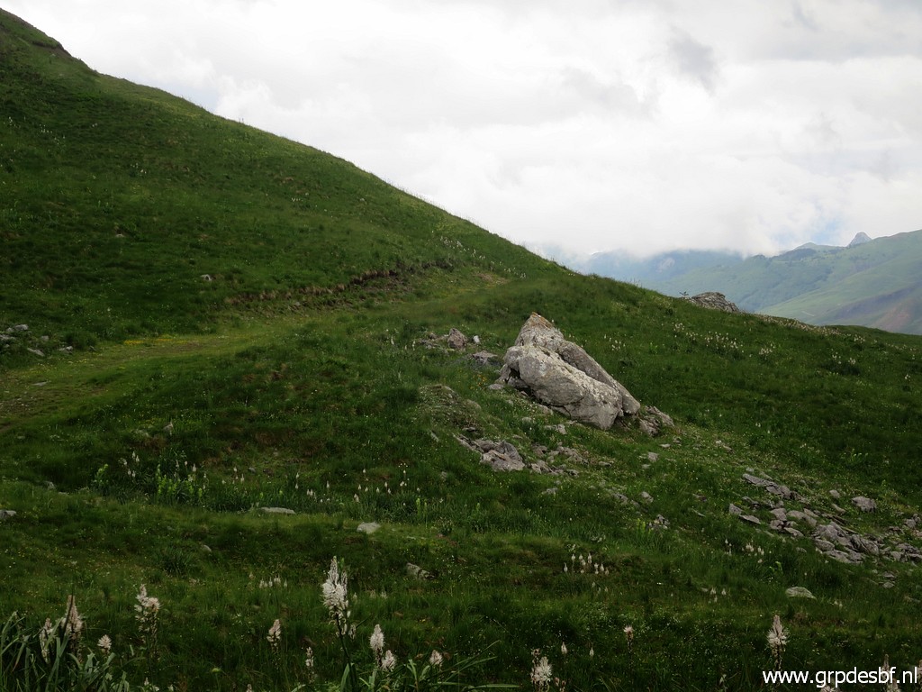
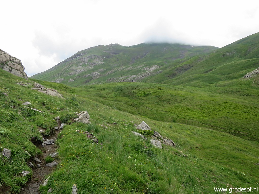
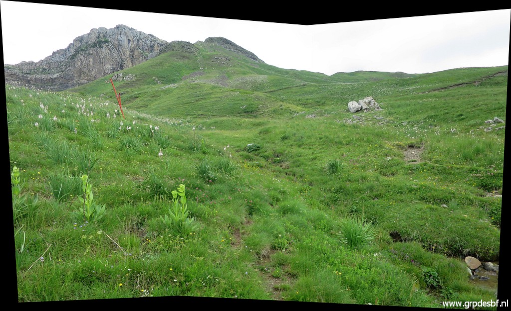
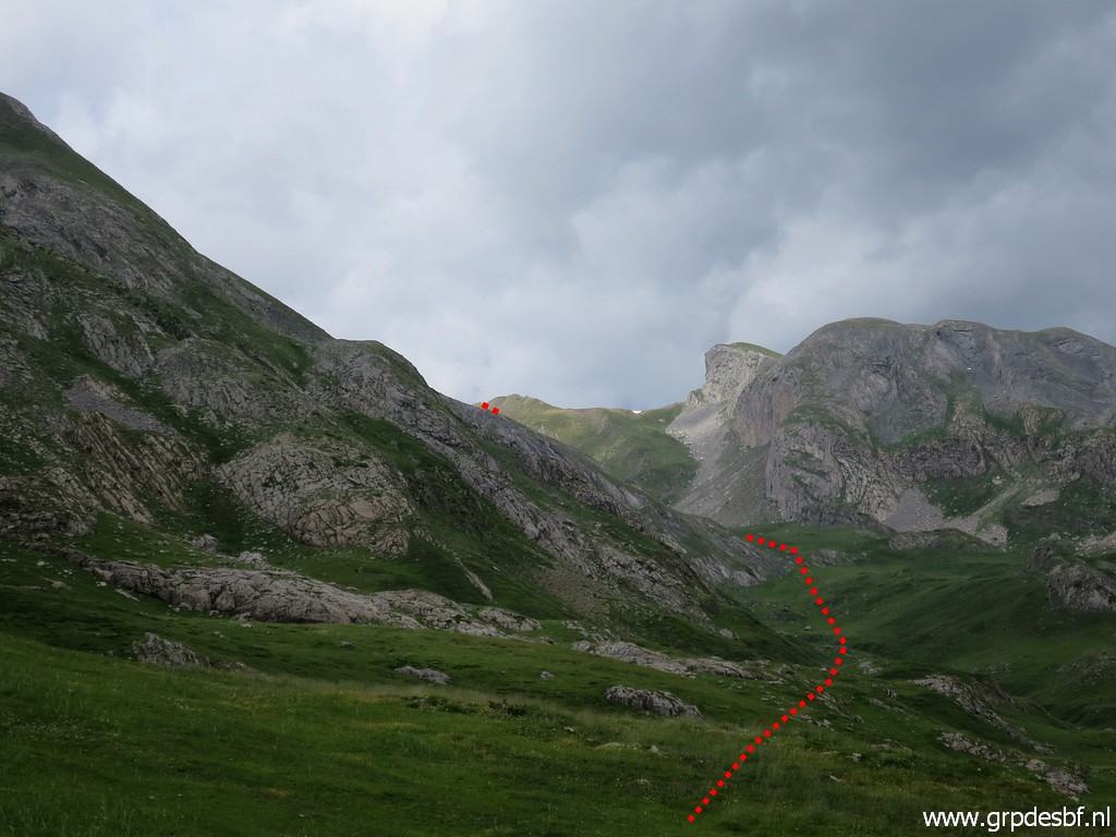
 | After traversing a rocky terrain, having lost the red waymarks, I arrive here. You can see a distinct dirtroad in the distance. (click photo to enlarge) Around here, I have to curve to the left (N-NW), partly on trails |
 | towards this col (Col de Peyrelue). (click photo to enlarge) |
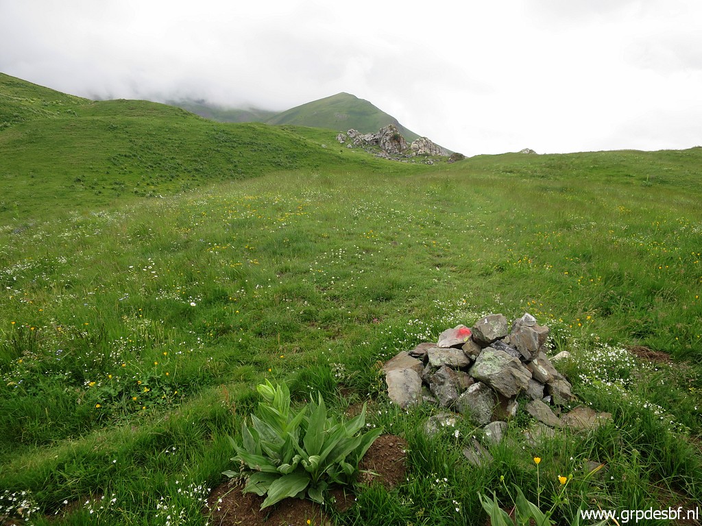
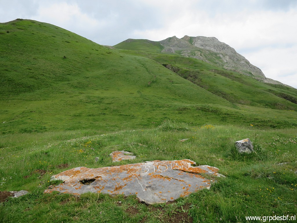
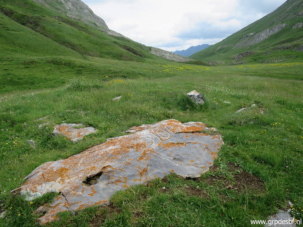
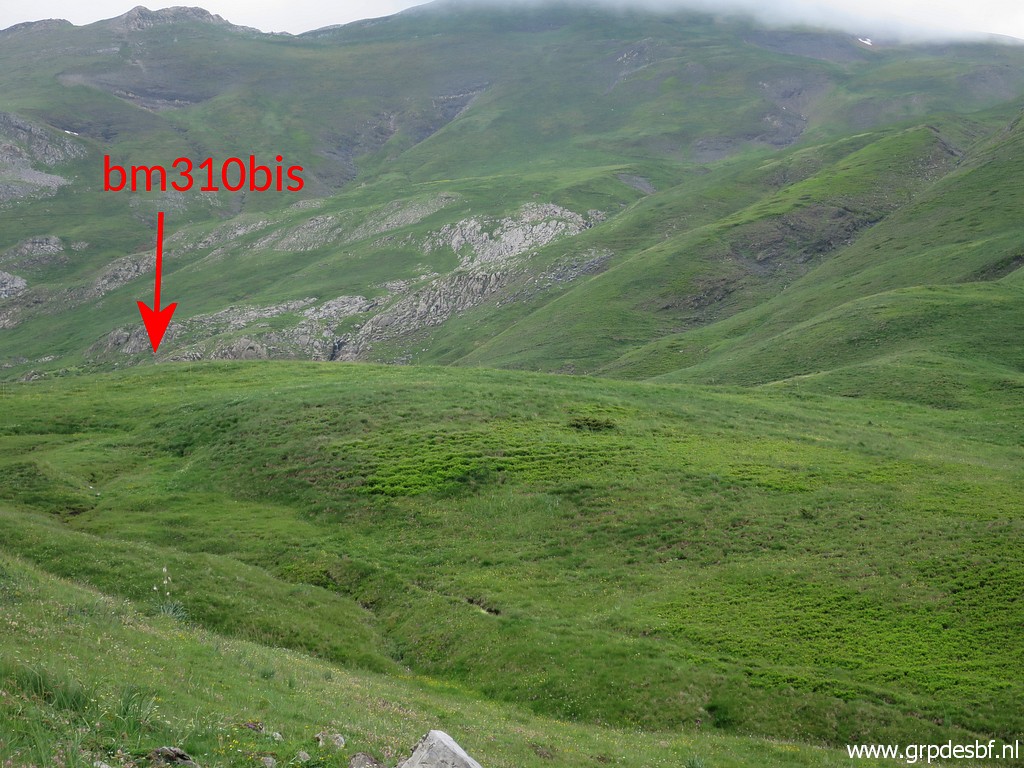
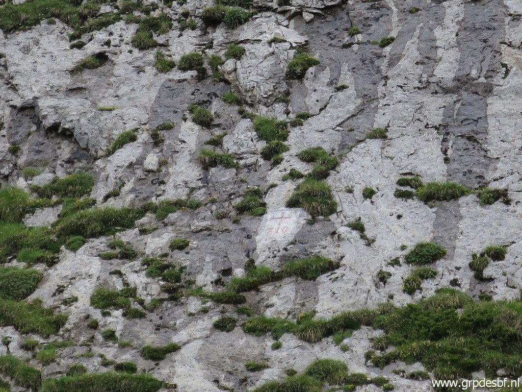
 | At the flattenend hilltop in the middle of the col, lies this rock (click photo to enlarge) |
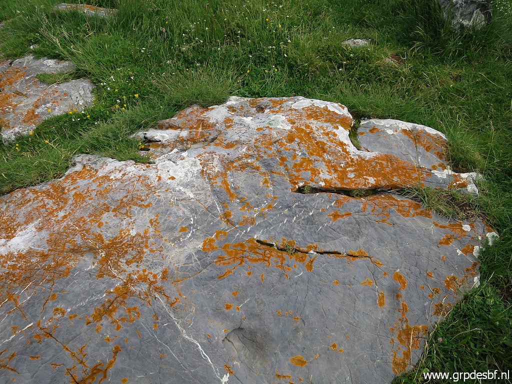 | with bm310bis engraved on it. (click photo to enlarge) |
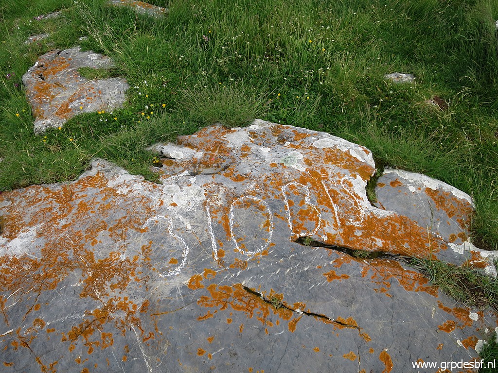 | Bm310bis Until september 2012, this bordercross on Col de Peyrelue was unknown to the bordermarker-community. The official treaties do not mention this bm. See this page for more information. (click photo to enlarge) |
 | Bm310bis (click photo to enlarge) |
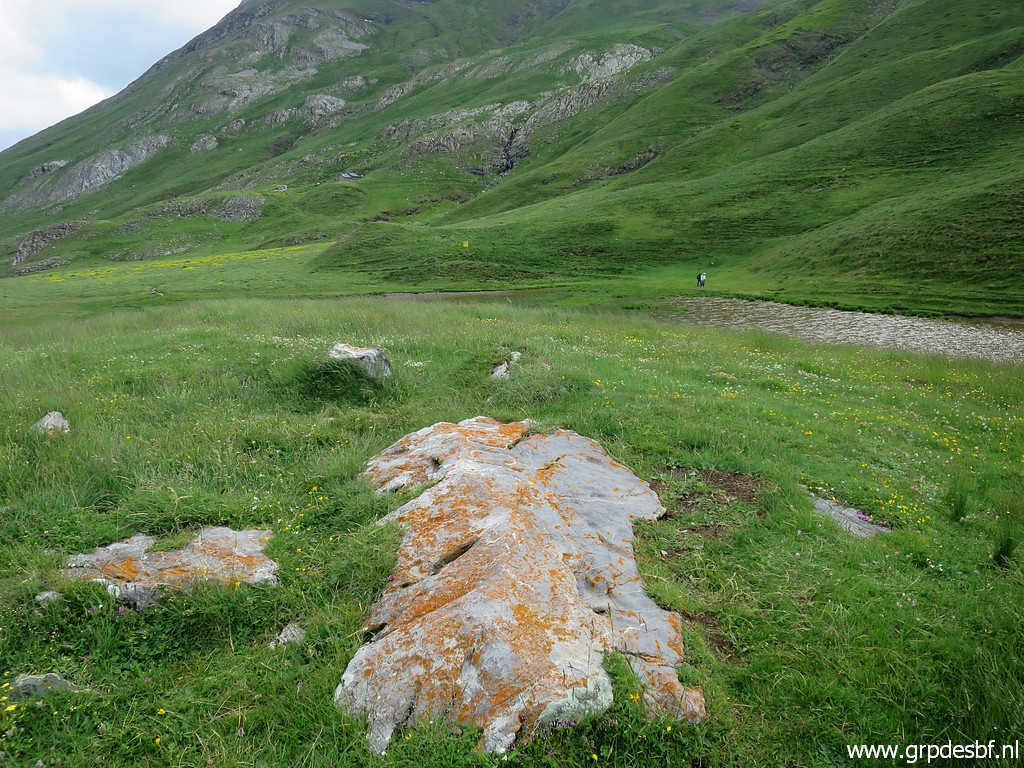 | Bm310bis Besides the flattened hilltop a small lake. (click photo to enlarge) |
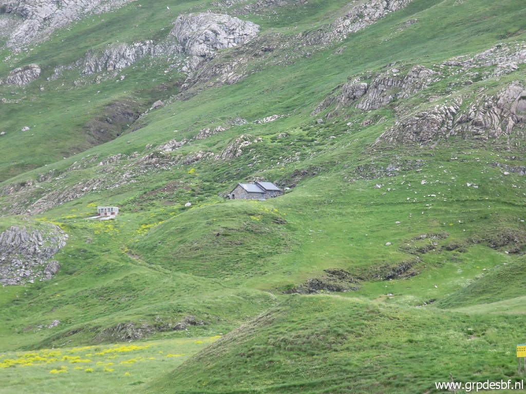 | In the distance I see a cabane, perhaps meant for walkers. But it is a shepherd's cabane as I read on this webpage. (click photo to enlarge) |
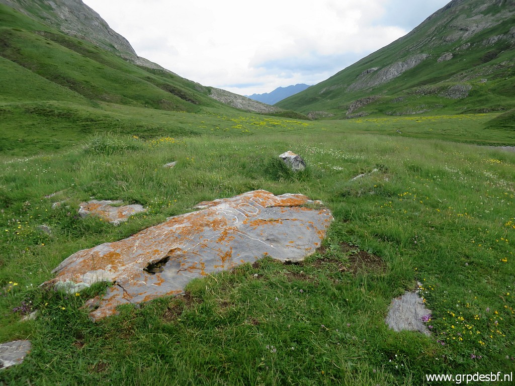
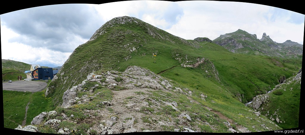
 | Overview of the pass with bm310bis. (click photo to enlarge) |
 | Bm310bis (click photo to enlarge) |
 | Bm310bis (click photo to enlarge) |
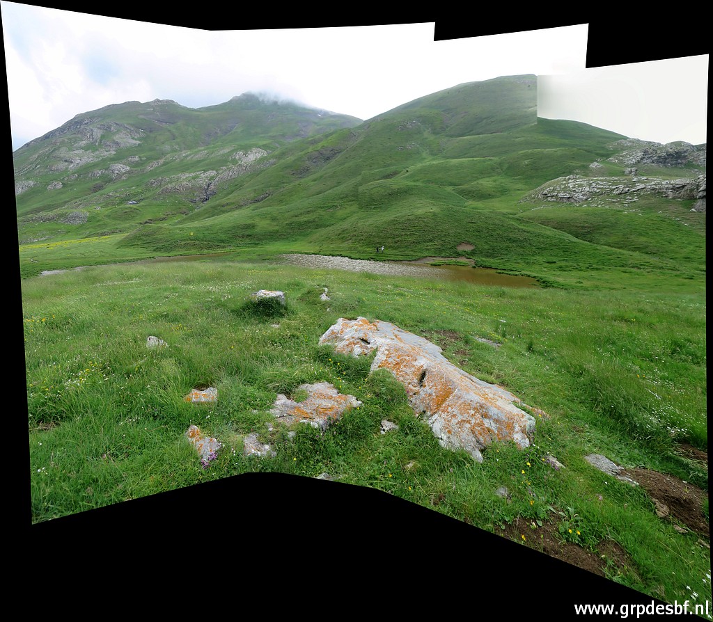
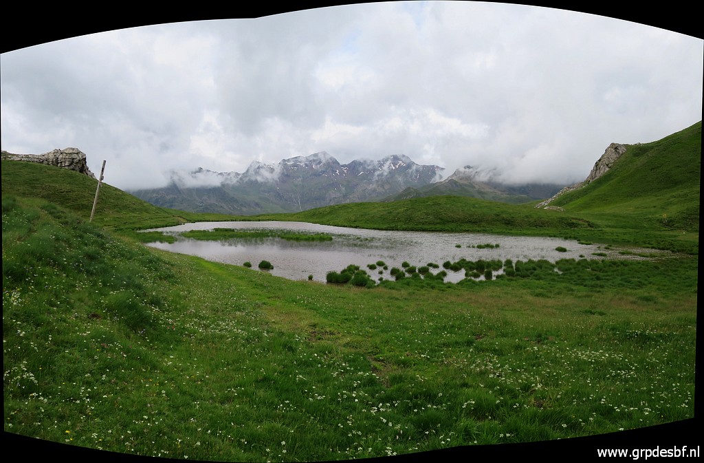 | Panorama from the south-side of the lake (click photo to enlarge) |
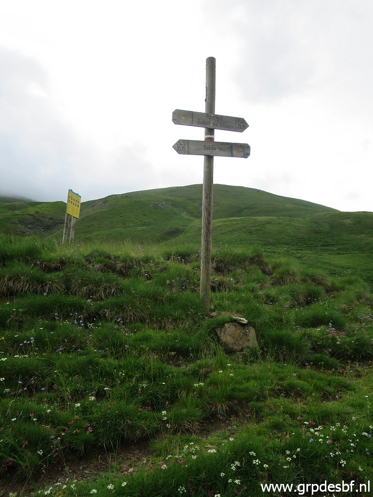 | with this signpost. (click photo to enlarge) |
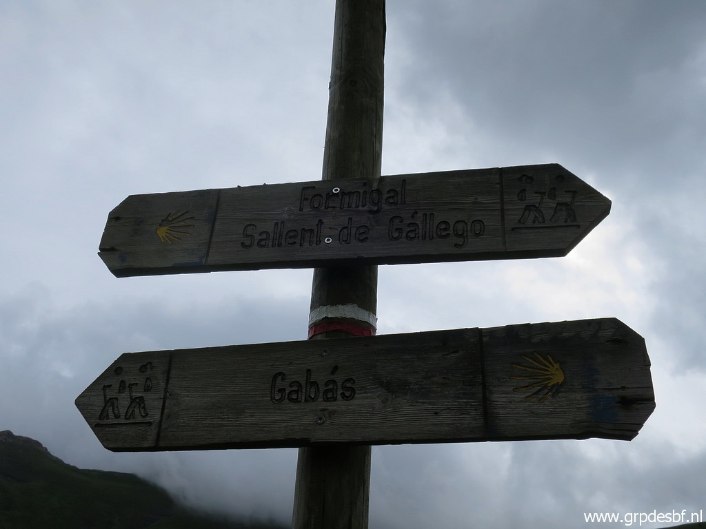 | It shows that the trail downhill to the N is part of a pilgrim's route to Santiago de Compostella. Enough evidence that the trail downhill is still usable for my GRPdesBF-route. (click photo to enlarge) |
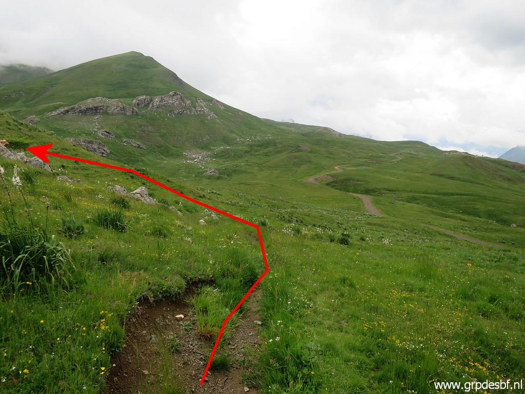
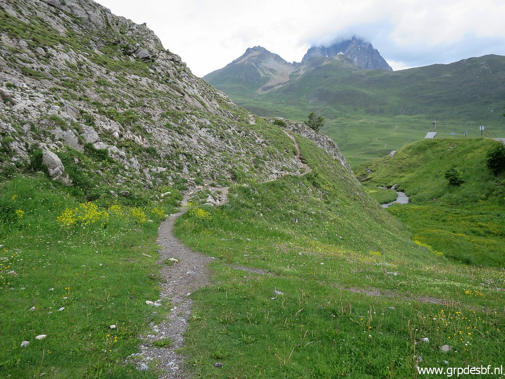
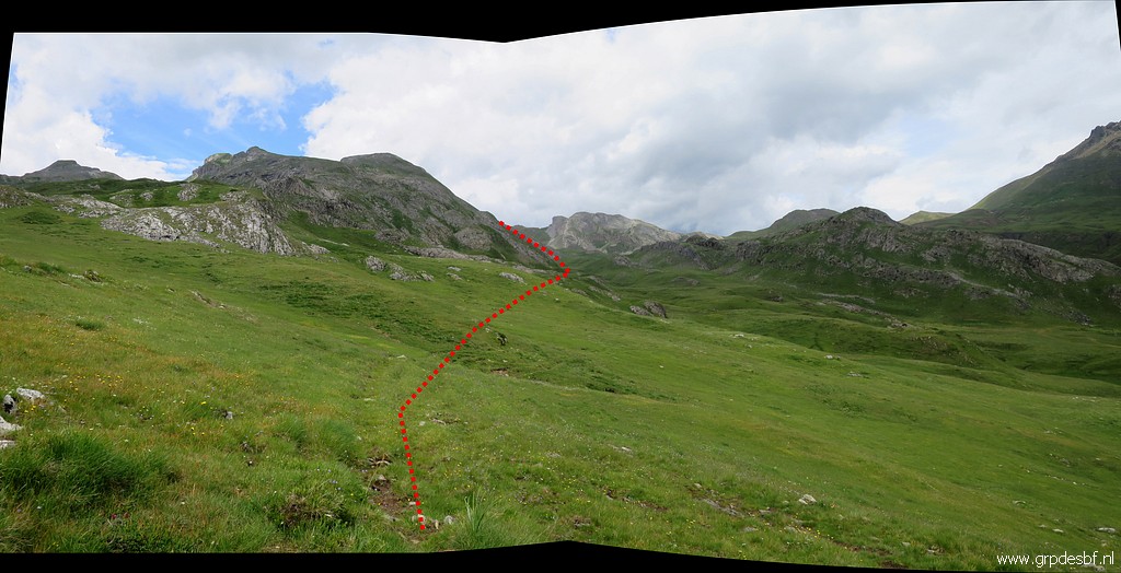
 | I return on a trail, leading me back on a higher level than how I came here. This picture: looking back to the col (click photo to enlarge) |
 | with this zoom-in to bm310bis. (click photo to enlarge) |
 | This higher trail is apparently the 'red' route. (click photo to enlarge) |
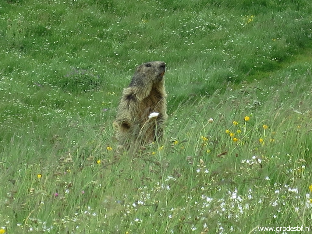 | A 'marmotte' stands guard. (click photo to enlarge) |
 | Further on, back on the track of my outward journey, and looking back. (click photo to enlarge) |
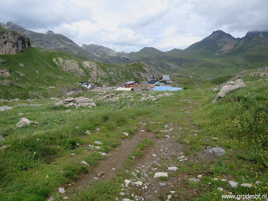 | Approach of Col du Pourtalet. (click photo to enlarge) |
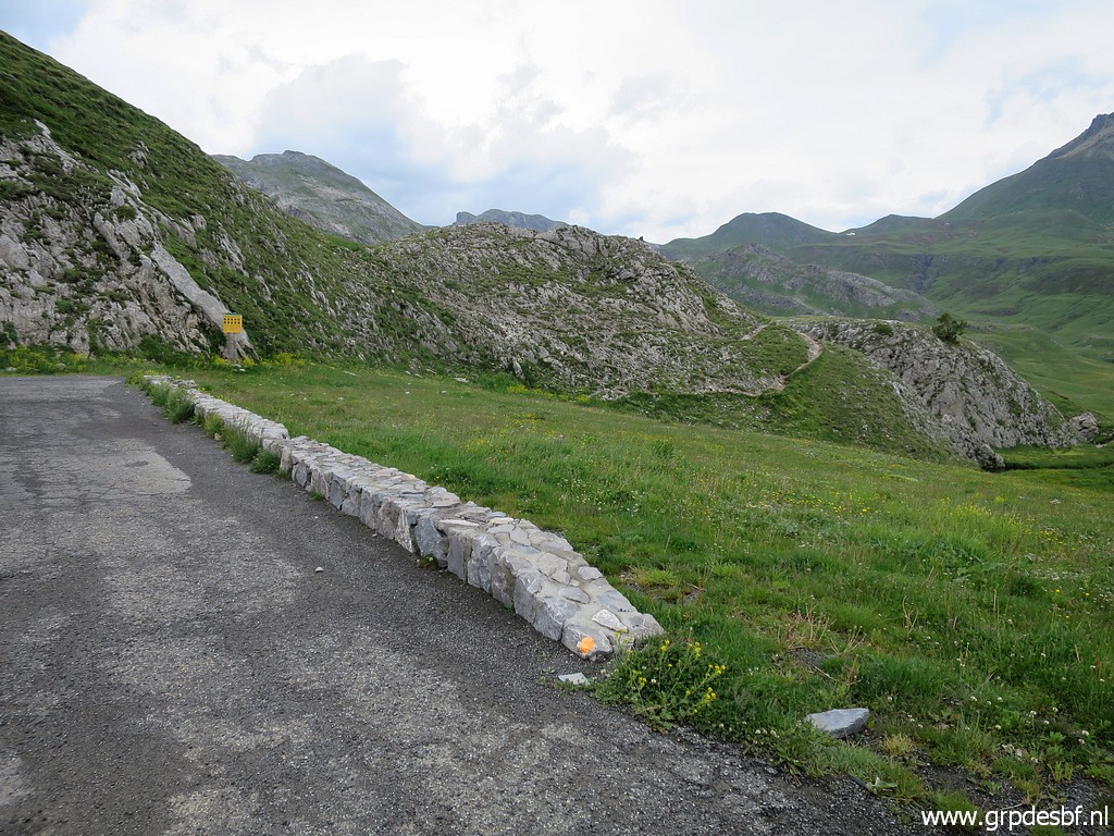
 | I keep following the dirtroad just above the venta's and arrive here at the main road. (click photo to enlarge) |
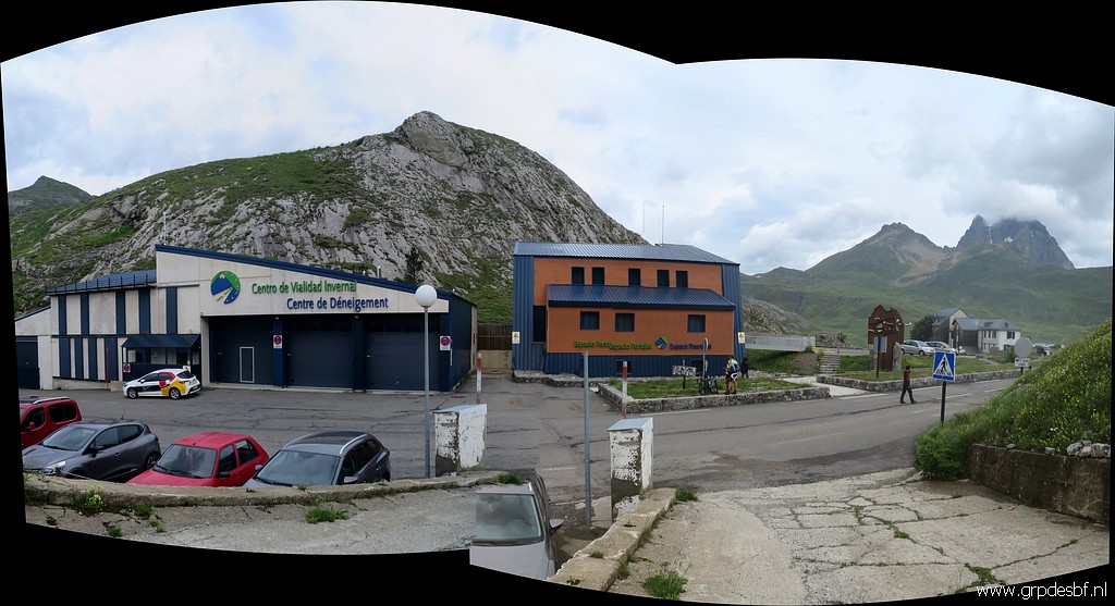
 | Having crossed the main road and looking back. (click photo to enlarge) |
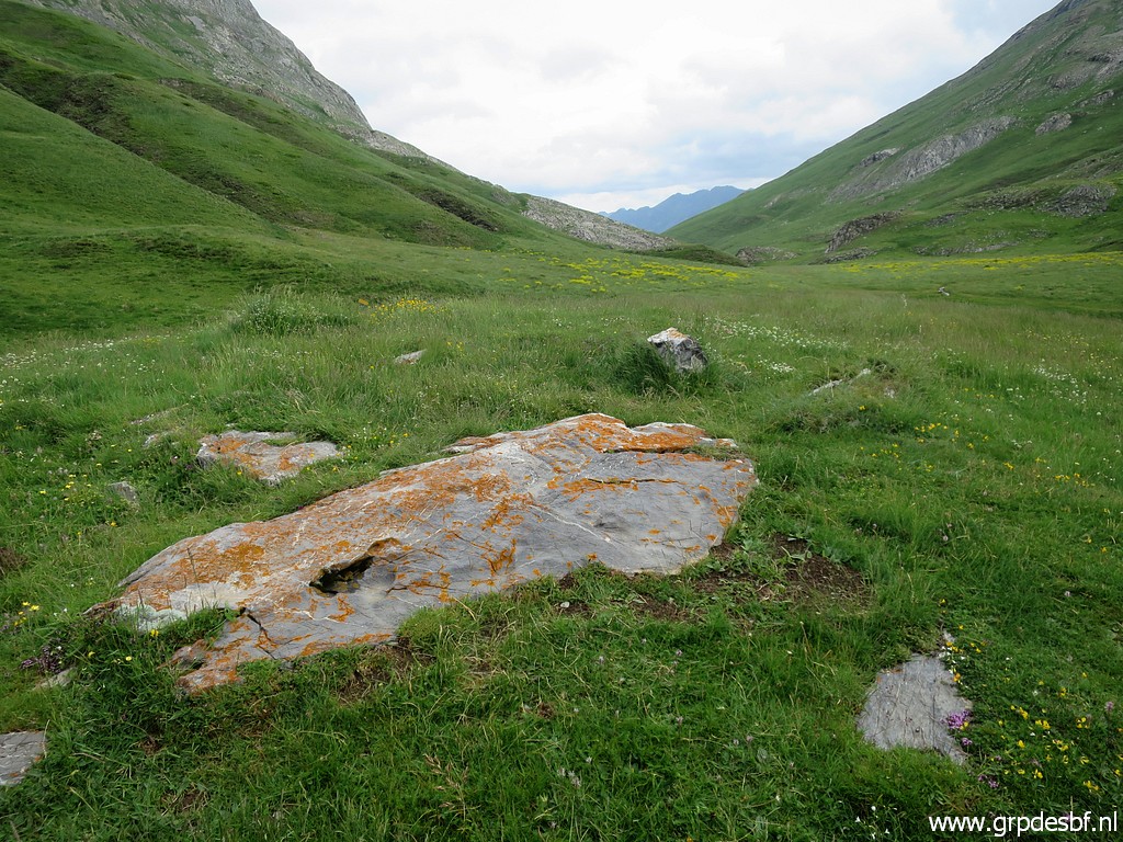
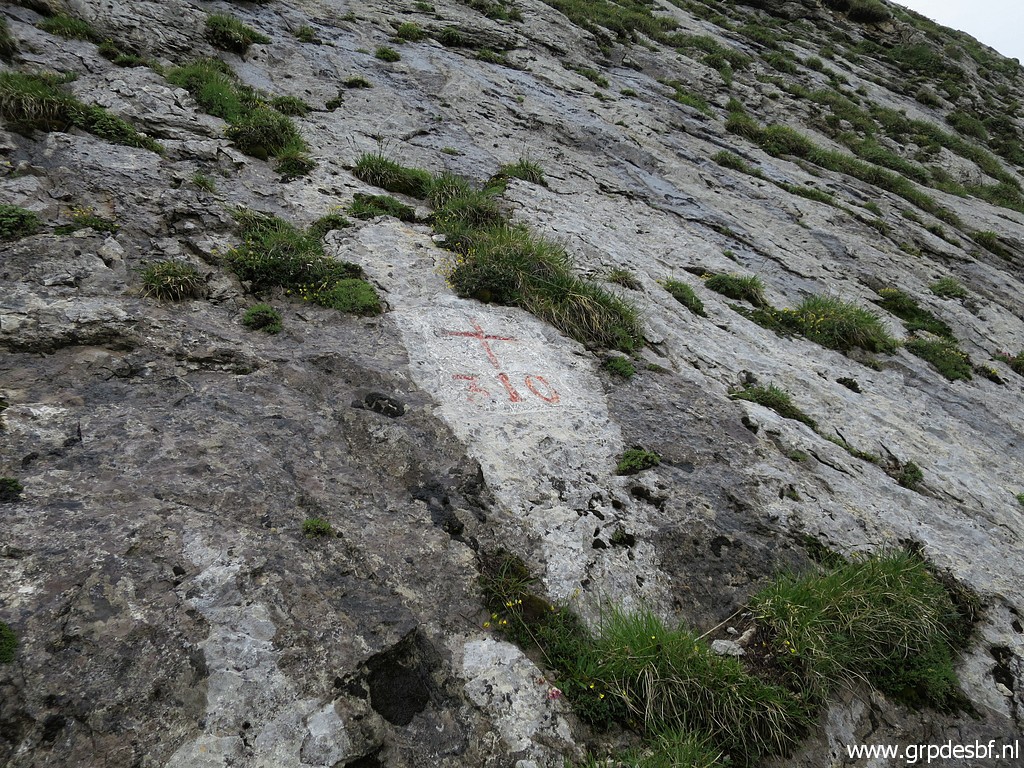
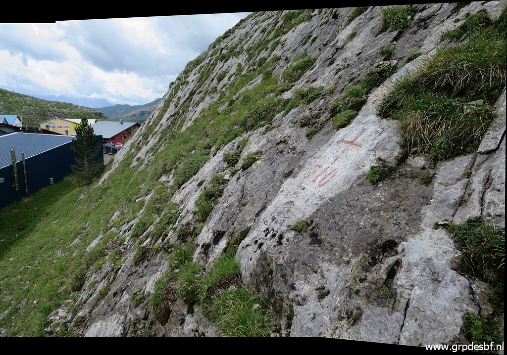
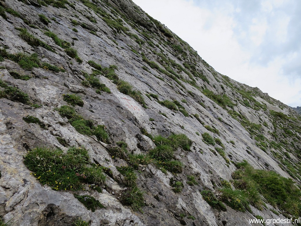 | Bm310 is the rocky hillside west of the Col. Easy to reach with some climbing. (click photo to enlarge) |
 | Bm310 (click photo to enlarge) |
 | Bm310 (click photo to enlarge) |
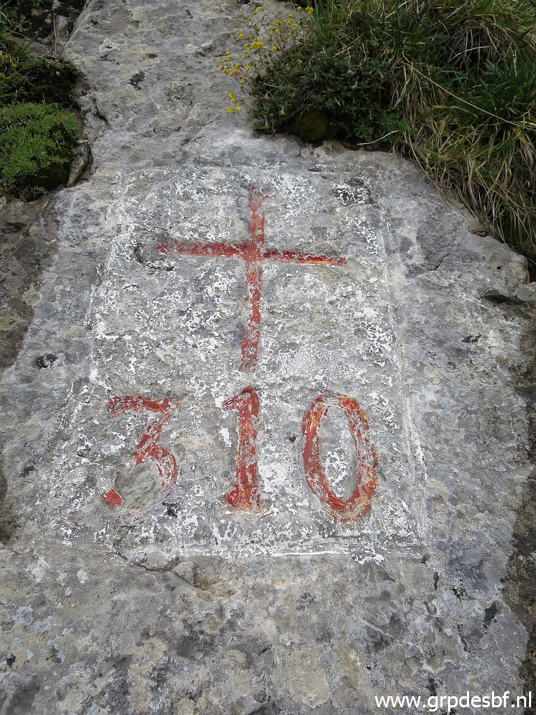 | Bm310 (click photo to enlarge) |
 | Bm310. looking south (click photo to enlarge) |
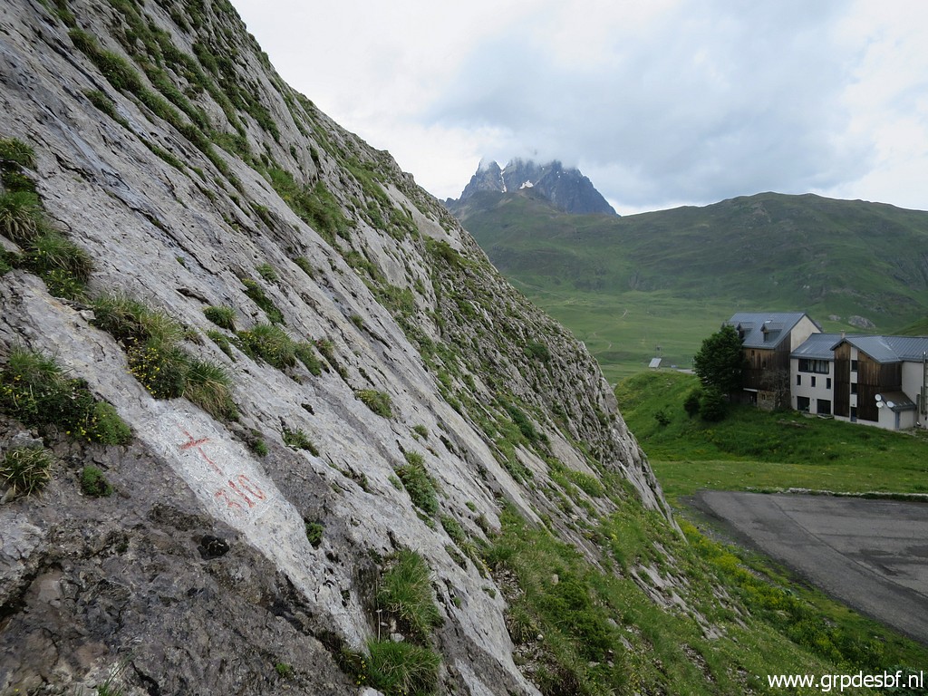 | Bm310. looking N with the Pic du Midi d'Ossau covered in clouds. (click photo to enlarge) |
 | Bm310, looking N (click photo to enlarge) |
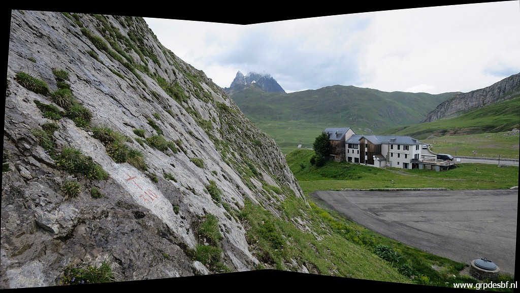
 | Bm310, from the road. (click photo to enlarge) |
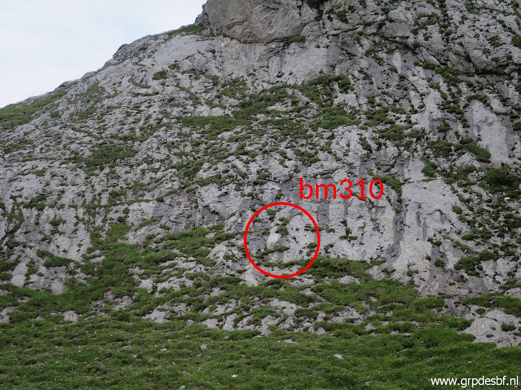 | Zoom-in to bm310 (click photo to enlarge) |
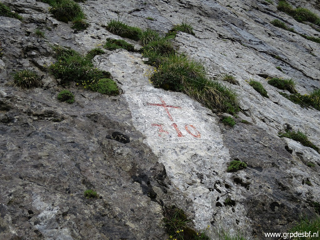
 | Further zoom-in to bm310 (click photo to enlarge) |
 | From a parking lot, I look to the west. I have still to investigate a new route from bm309 to 310. It's too cloudy today for the entire route but I will check the beginning from here. (click photo to enlarge) |
 This is that route to explore from bm309 to 310. If you are interested: download kmz-file or gpx-file. Drawing of the route based on trails in OpenStreetMaps and on Google Earth. GE says (when coming from 309): -distance: 8,5km -elevation: + 260m, - 622m |
|
 | I try this trail leading W (click photo to enlarge) |
 | This panoram gives a better view of the beginning. (click photo to enlarge) |
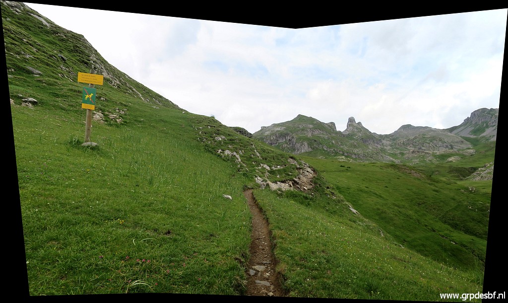 | Following the trail (click photo to enlarge) |
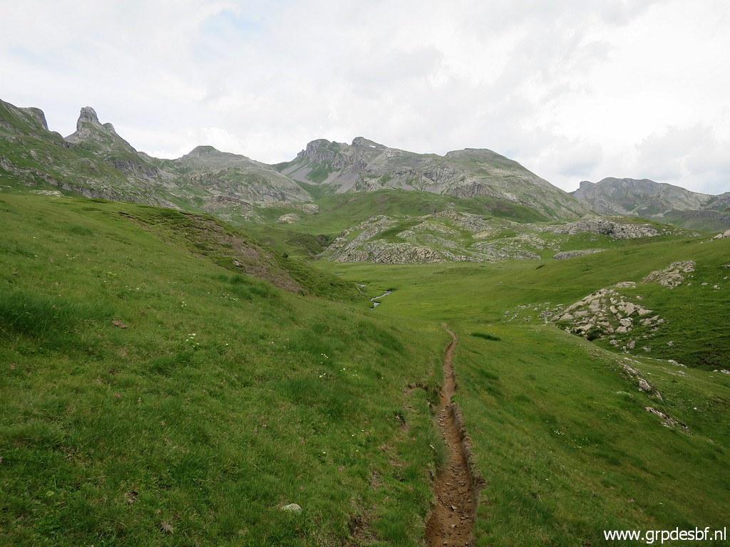 | which descends (click photo to enlarge) |
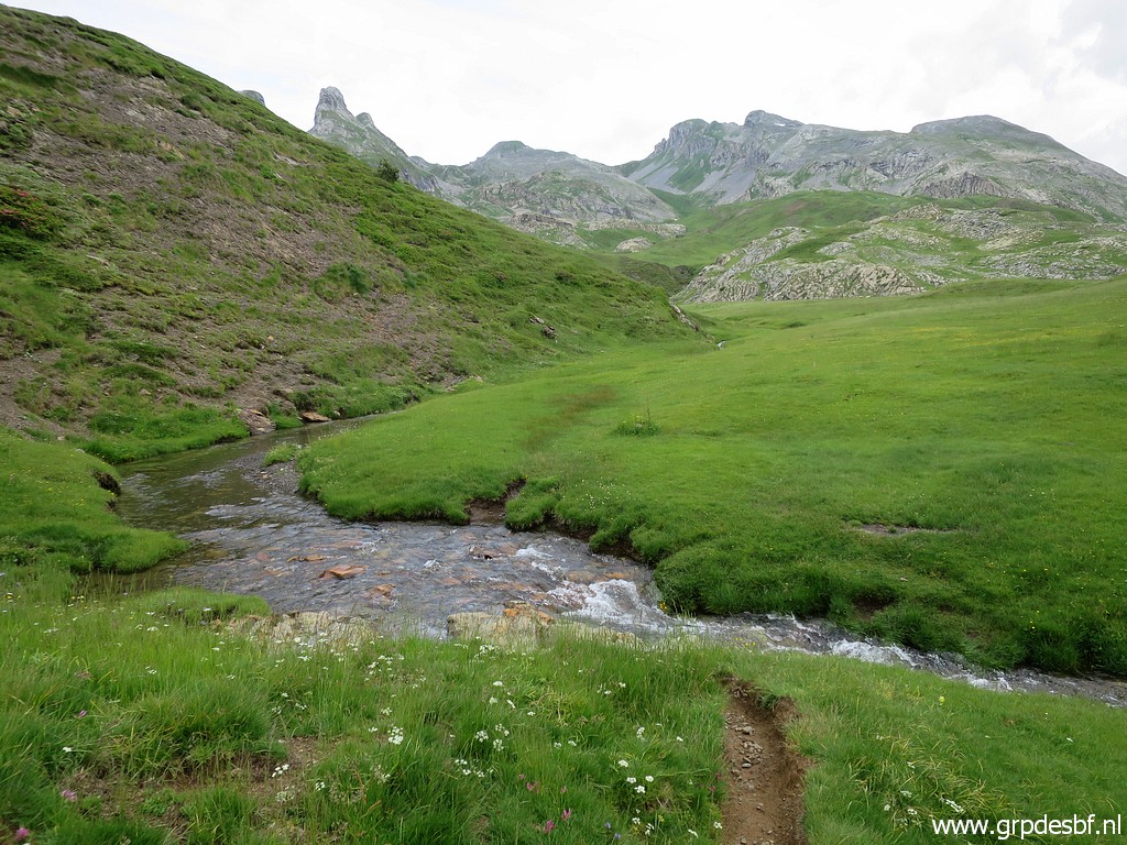 | to this stream which has to be crossed. (click photo to enlarge) |
 | After
that, the trail gets vaguer but with the OsmAnd-map on my smartphone I
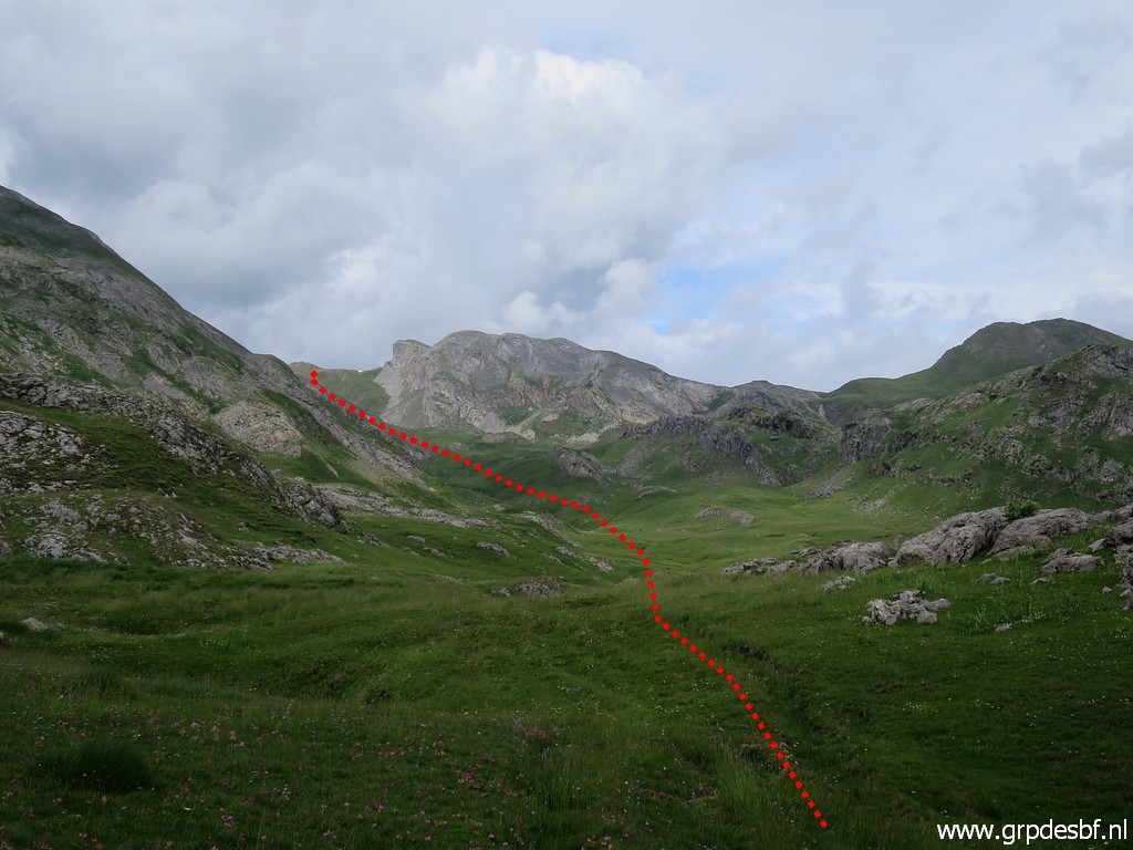
proceed until I get a better view of the rest of my route to check. In the far distance, (click photo to enlarge) |
 | it climbs to the borderridge. (click photo to enlarge) |
 | Same route on this panorama. I have seen enough and return (click photo to enlarge) |
 | and cross the stream at another point, close to the road. (click photo to enlarge) |
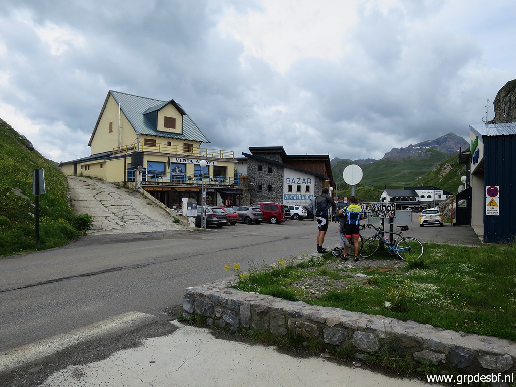
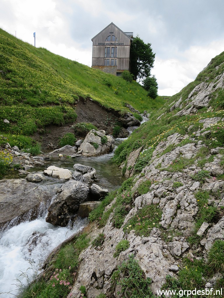
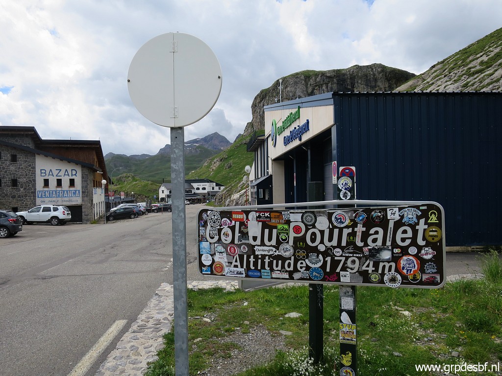 | Last view of Col du Pourtalet. I take a lunch at one of the restaurants and drive back. (click photo to enlarge) |
 |
On my way back I will visit two spots before returning to the camping. First the famous giant railway station of Canfranc-Estación. Second: the northern entrance of the derelict railway tunnel. |
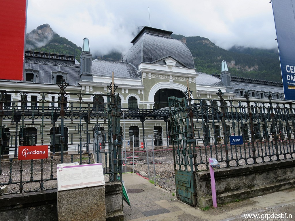 | The giant railway station of Canfranc-Estación (click photo to enlarge) |
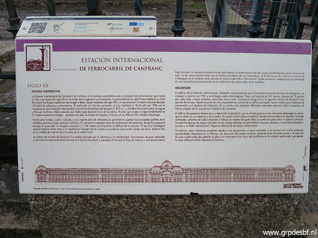 | with an information panel. (click photo to enlarge) |
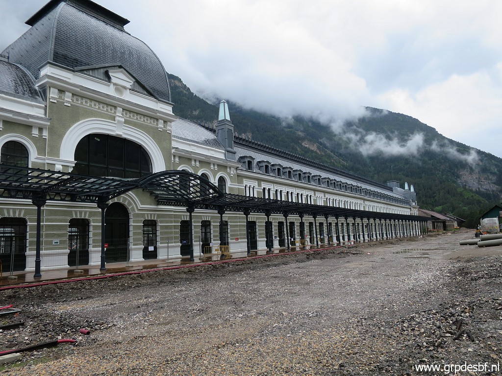 | The building looks quite new (click photo to enlarge) |
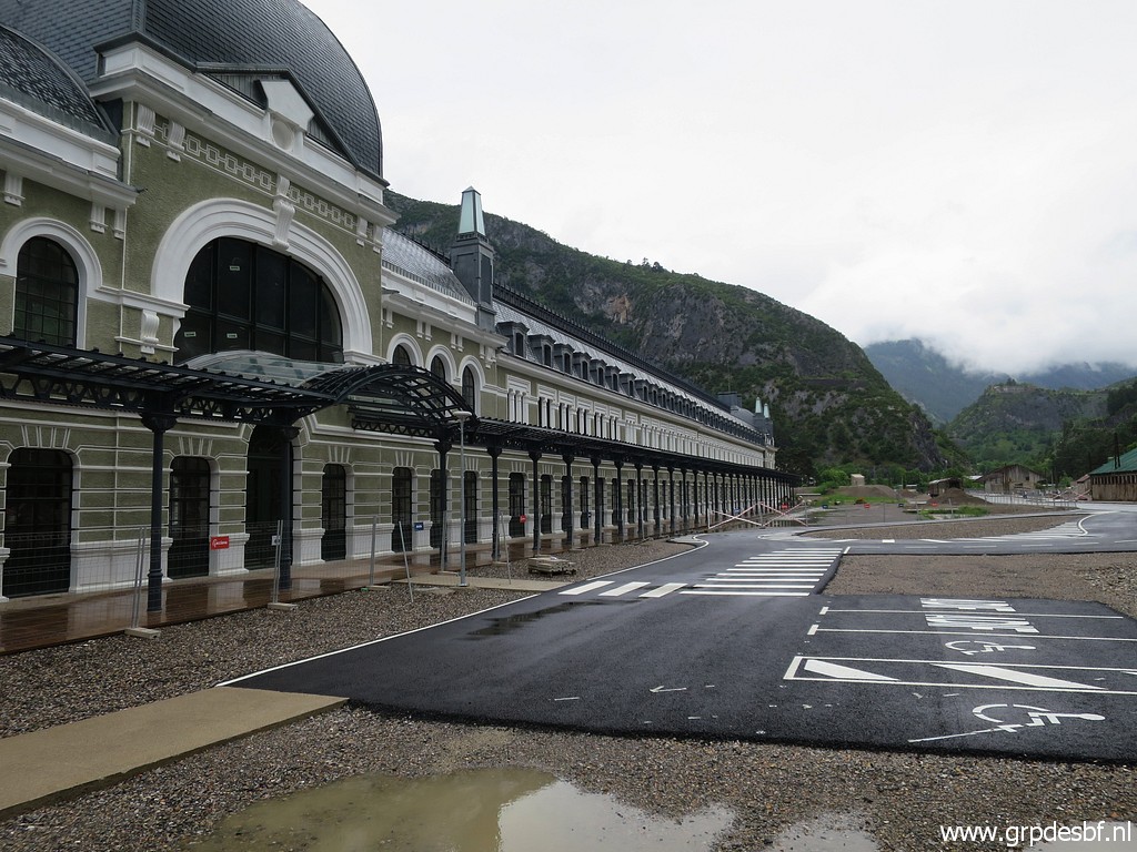 | because it has been repaired and painted in recent years. I read somewhere that it will be converted into a hotel. (click photo to enlarge) |
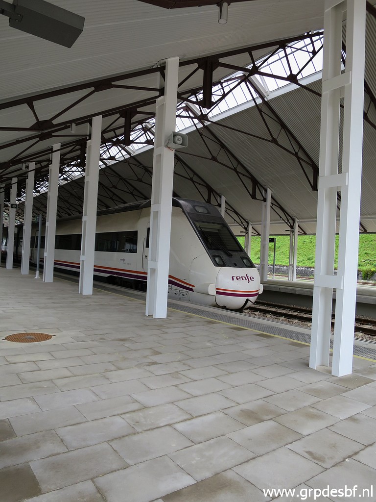 | At the backside of the old building there is a new, much smaller station. (click photo to enlarge) |
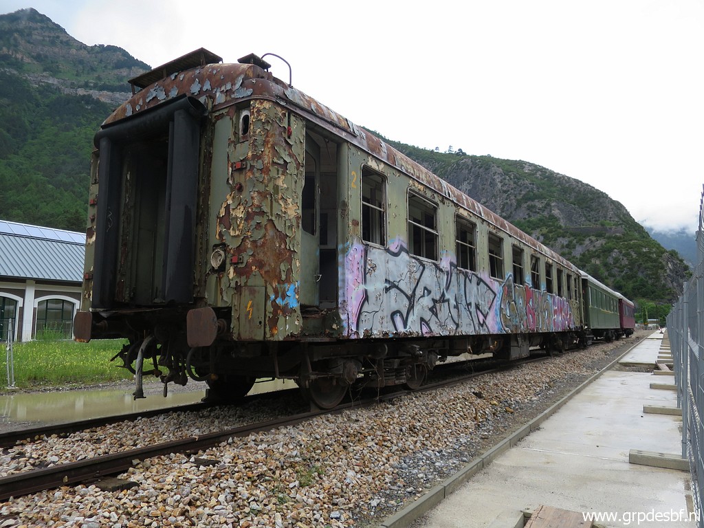 | Old rusty coach. (click photo to enlarge) |
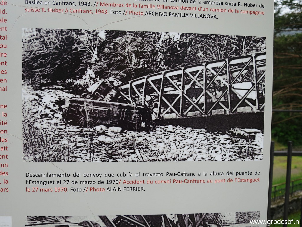 | A picture of the derailment of the train in 1970 which led to an immediate stop of the railway connection through the tunnel. (click photo to enlarge) |
|
Then driving through the tunnel into France and visiting the northern entrance of the railway tunnel. |
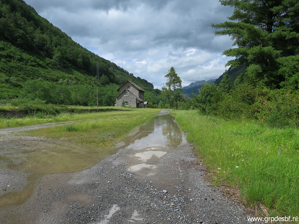 | An abondoned (click photo to enlarge) |
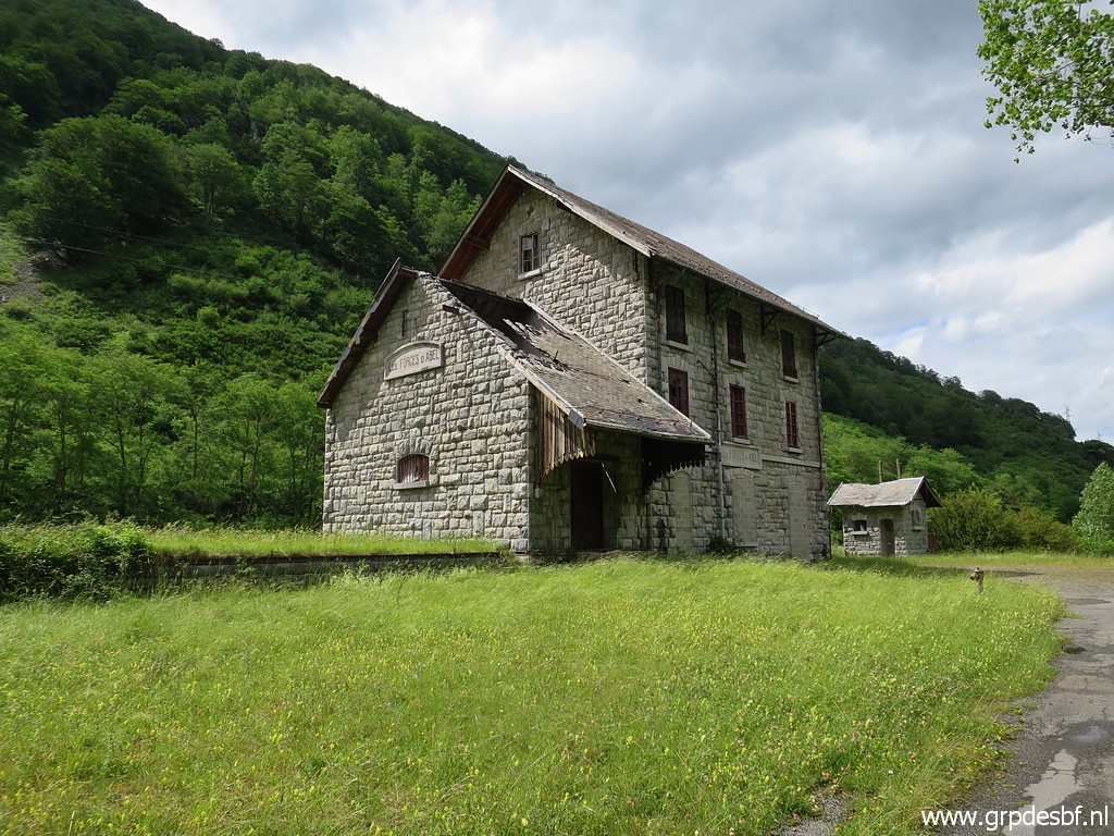 | train station (click photo to enlarge) |
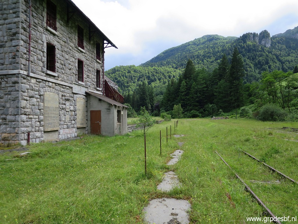 | with the old railway tracks. (click photo to enlarge) |
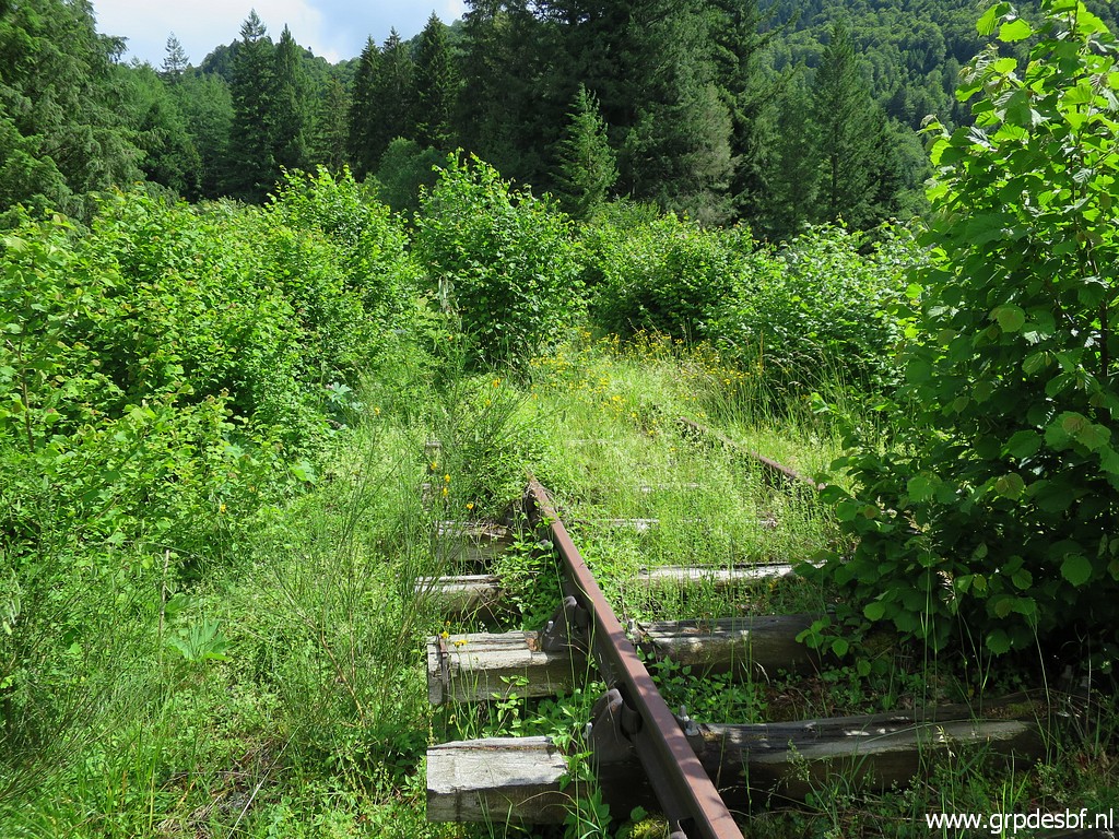 | Further on, where the road goes underneath the railway, I climb to the railway which is overgrown. (click photo to enlarge) |
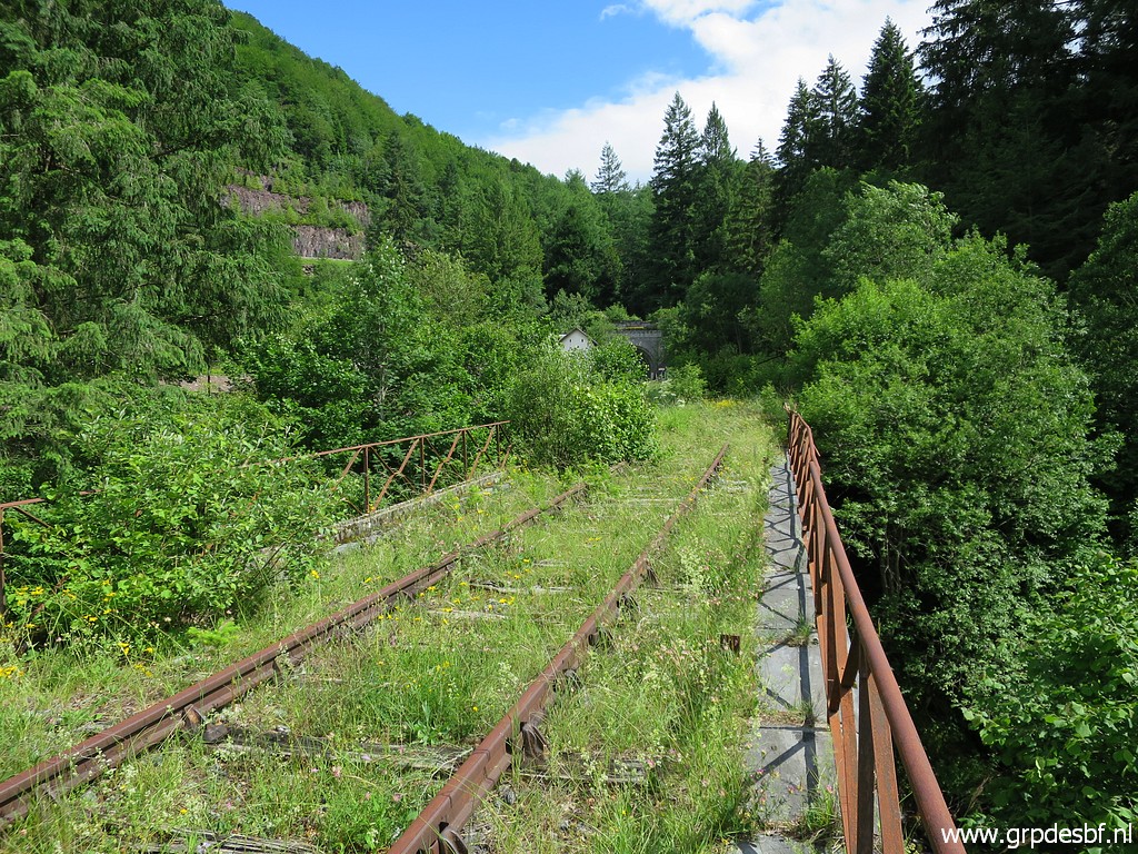 | Railway bridge. (click photo to enlarge) |
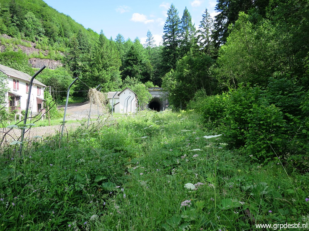 | The tunnel entrance in the distance. The undergrowth on the railway tracks is a bit too fierce to struggle through. (click photo to enlarge) |
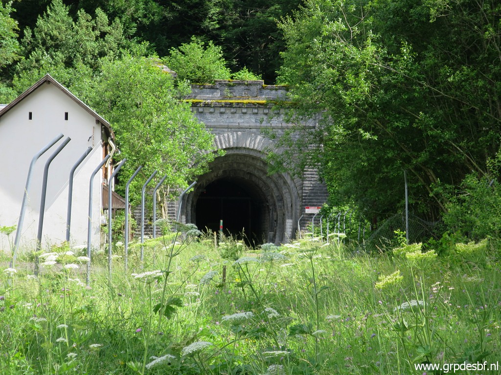 | So I help myself with this zoom-in. Just inside the tunnel, there is a fence blocking further access. Return to the camping. This will be my last day in the Pyrenees. (click photo to enlarge) |
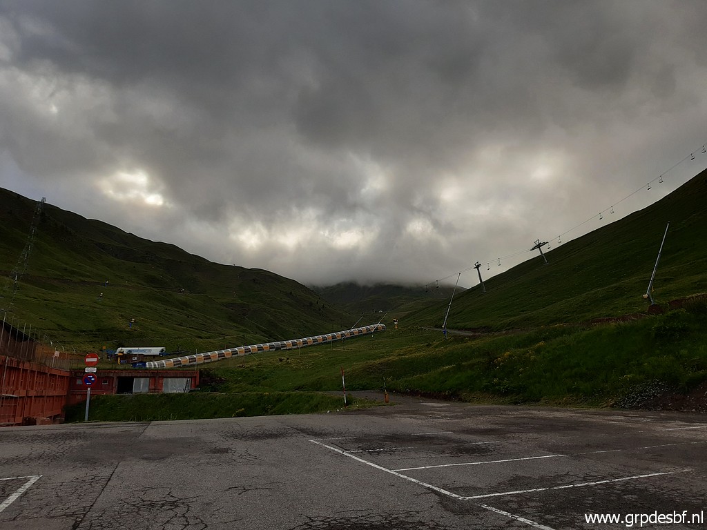 | This is a picture of the next morning. I wanted to visit bm309 from the ski-resort of Astún before driving home. But again it's too cloudy around the borderridge. (click photo to enlarge) |
 |
So I decide to return and drive home in 2 days. Nice weather until Bordeaux but afterwards a lot of rain and thunderstorms. Camping in Beamont-sur-Sarthe. |