|
The
bordermarkers of the Pyrenees : all my trips
 |
|
| -
friday 18 june
2021 - Redoing bm280-295 |
 |
 |
Summary:
part of a series of 8 daytrips in june 2021 near Bagnères-de-Luchon and
Col de Somport. This is day 7. Today: a very long trip to redo bm280 to 295. Weather: sunny, pleasant. Basecamp: Camping Le Gave d'Aspe in Urdos |
 track-20210618.kml
(click to open this trip in Google Earth or copy link to Google Maps; click right on this link to download gpx-version). The gps-track has not been manually corrected which explains the inaccuracy and misalignment at some points. For cartographic backgrounds: see the cartography-page Gps-waypoints of all bordermarkers (most recent version): kml: esfr-bordermarkers-all-waypoints.kml gpx: esfr-bordermarkers-all-waypoints.gpx (with elevation added by gpsvisualizer.com) |
|
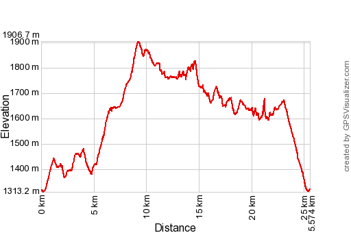 |
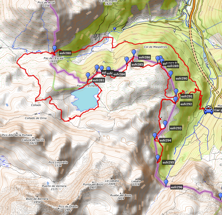
According to Garmin
Basecamp (uncorrected original track): Distance: 27,8 km Max-height: 1888m Min-height: 1291m Elevation: +1587m -1565m Total elevation: 3152m Start 7:59 Finish 19:59 Total time: 12:00 |
 | Parking at parking Sansanet. (click photo to enlarge) |
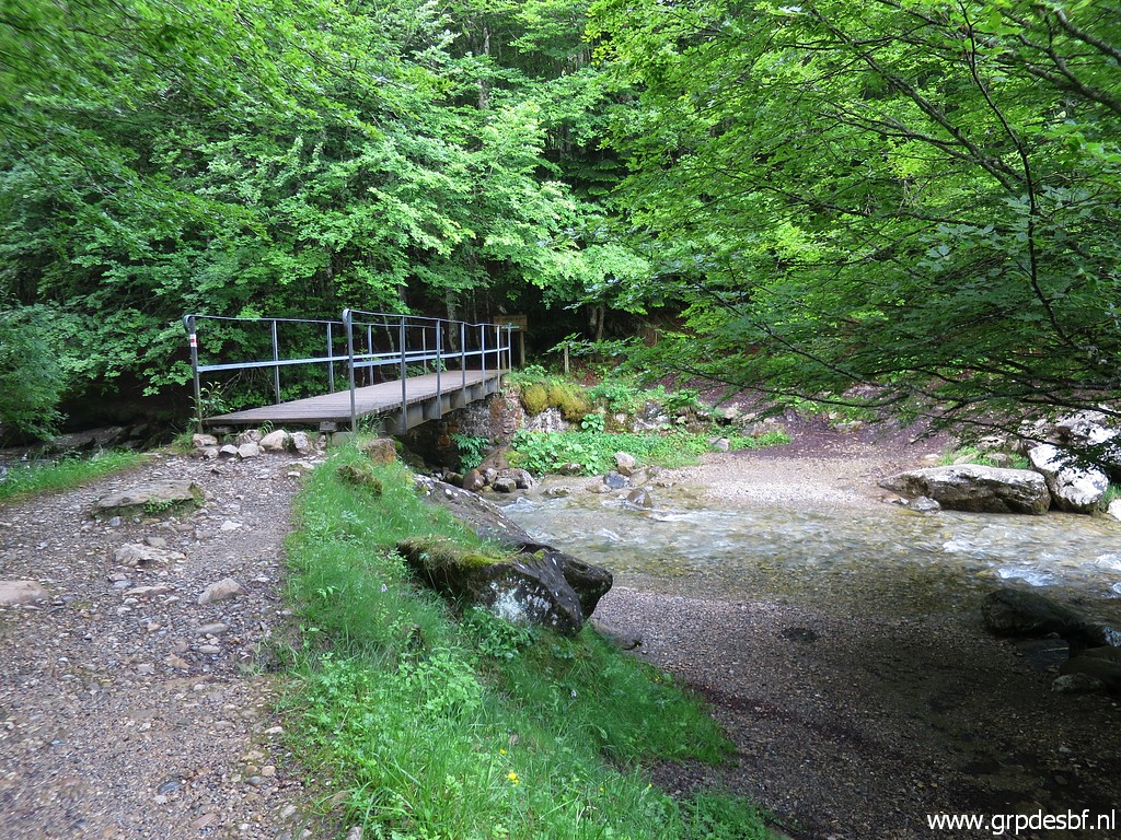 | Crossing the bridge and through the forest heading N to (click photo to enlarge) |
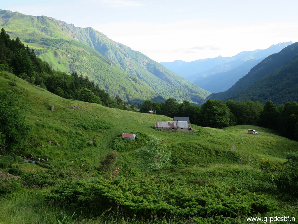 | an open space with a cabane with nasty dogs (click photo to enlarge) |
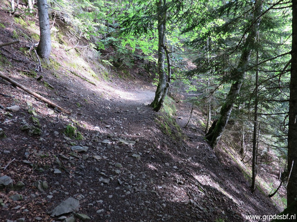 | and again through the forest. (click photo to enlarge) |
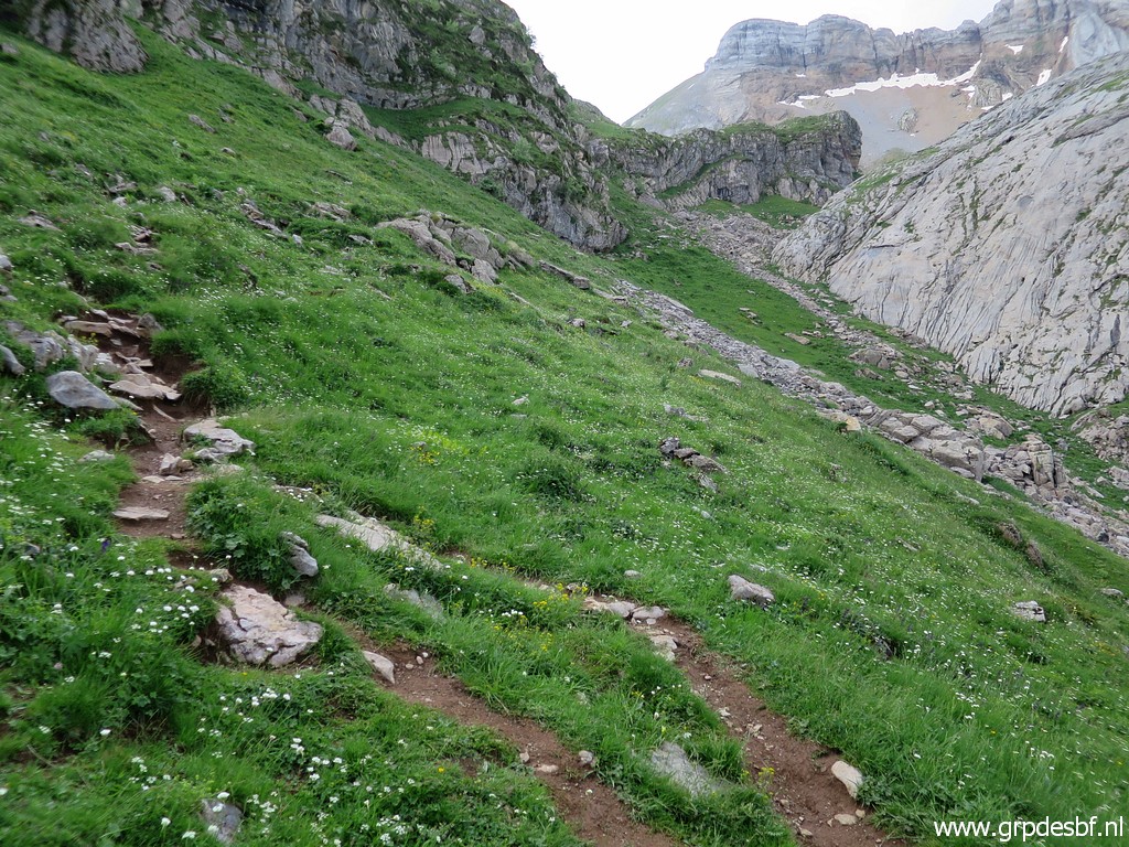
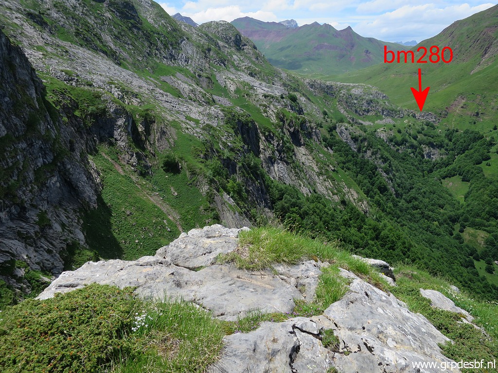
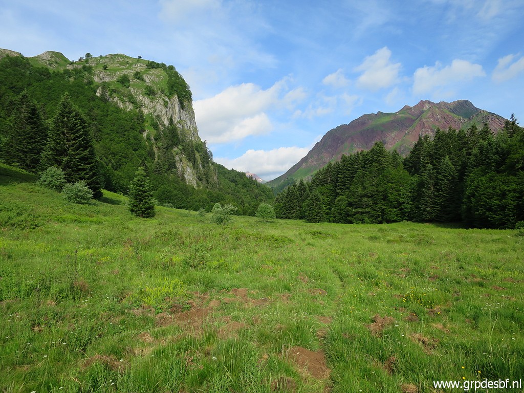 | Then open space again with already the Pas de l'Escalé (bm280) in sight. (click photo to enlarge) |
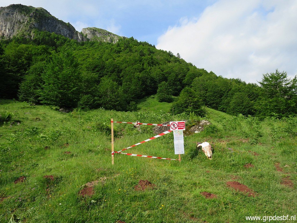 | The trail climbing to Pas de l'Échelle (close to bm281) is temporarily closed, (click photo to enlarge) |
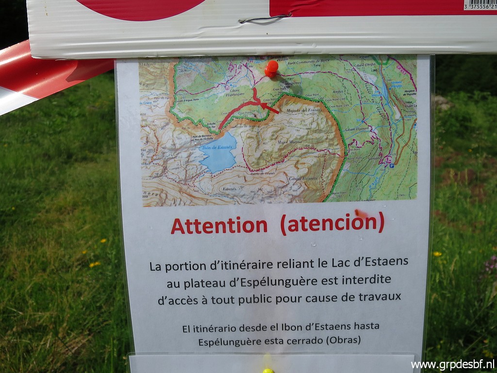 | due to reconstruction works. (click photo to enlarge) |
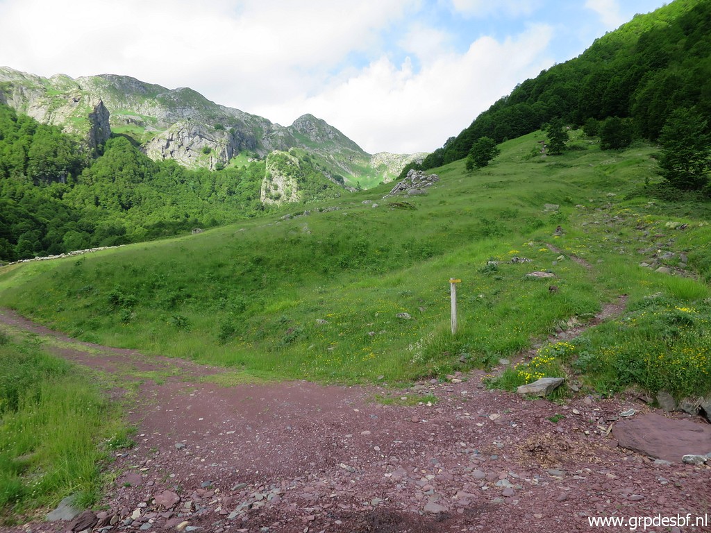 | Having arrived at the dirtroad with further on, this signpost to go right to climb to Pas de l'Escalé. (click photo to enlarge) |
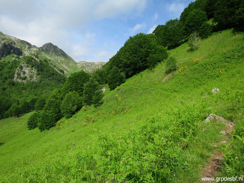 | And that's an easy trail with not much climbing. (click photo to enlarge) |
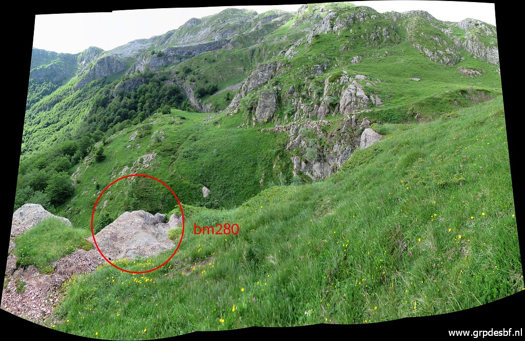
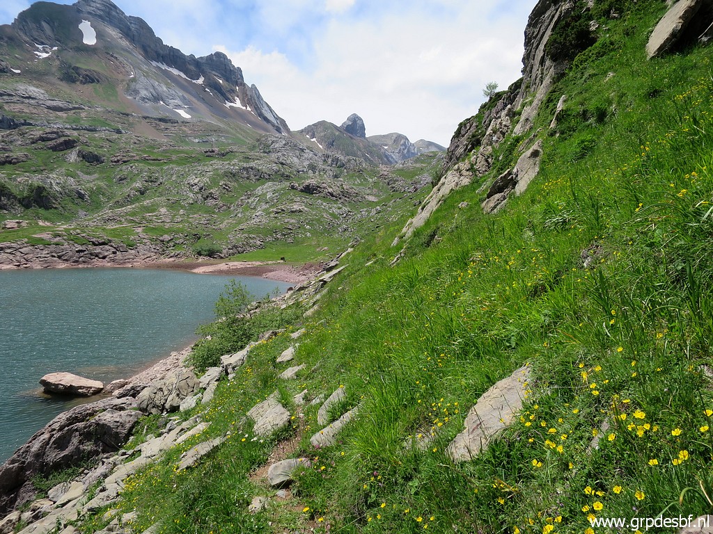
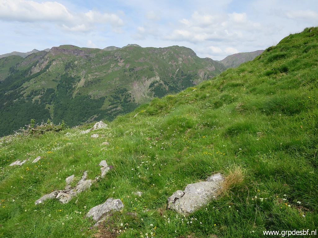
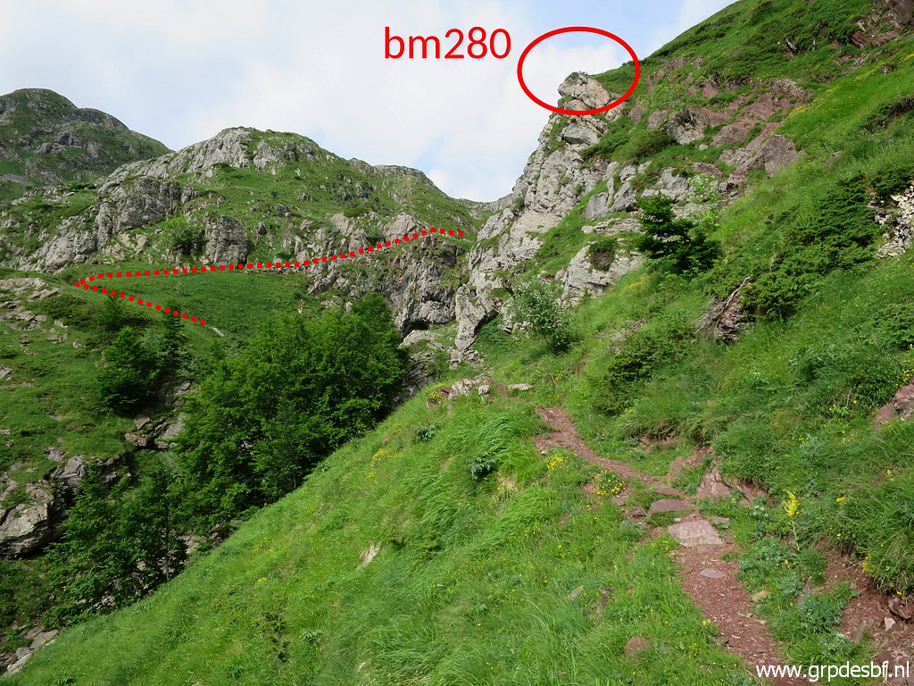 | The Pas de l'Escalé comes in sight. Bm280 is not on the pass itself but ± 25m NW of it. (click photo to enlarge) |
 | The route to the pass. (click photo to enlarge) |
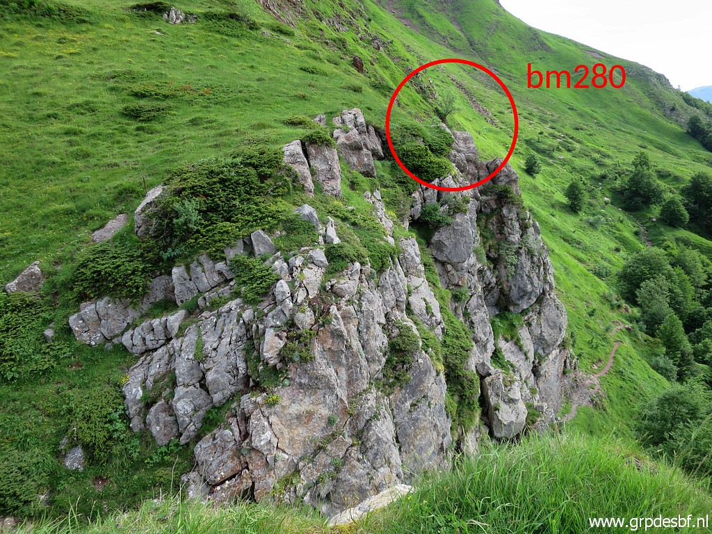 | The spot of bm280 indicated. (click photo to enlarge) |
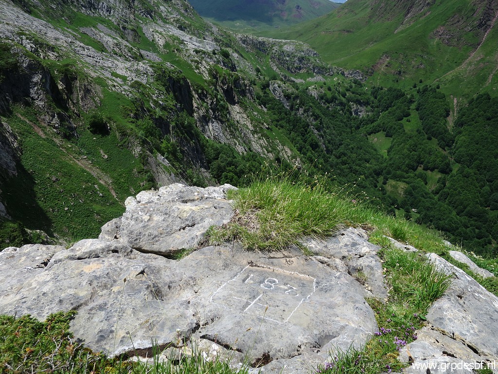
 | Having arrived at bm280 (click photo to enlarge) |
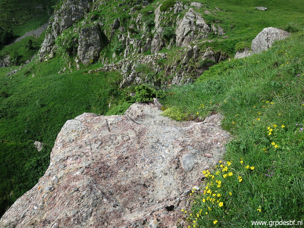 | Bm280 (click photo to enlarge) |
 | Bm280 (click photo to enlarge) |
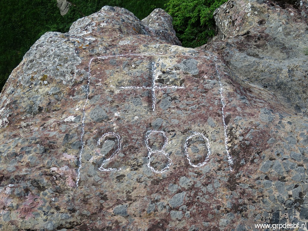 | Bm280 (click photo to enlarge) |
 | Bm280 (click photo to enlarge) |
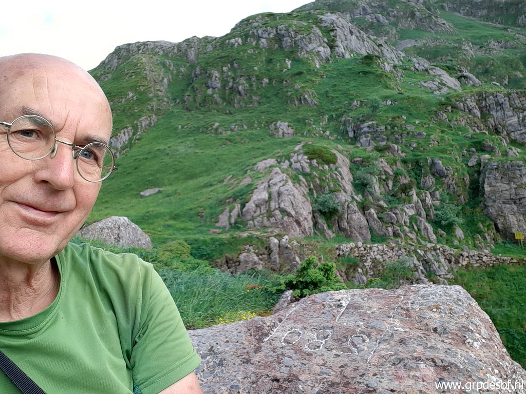 | Selfie to let Carlos & Conchita know where I am as they do often to me while on bordertrips. (click photo to enlarge) |
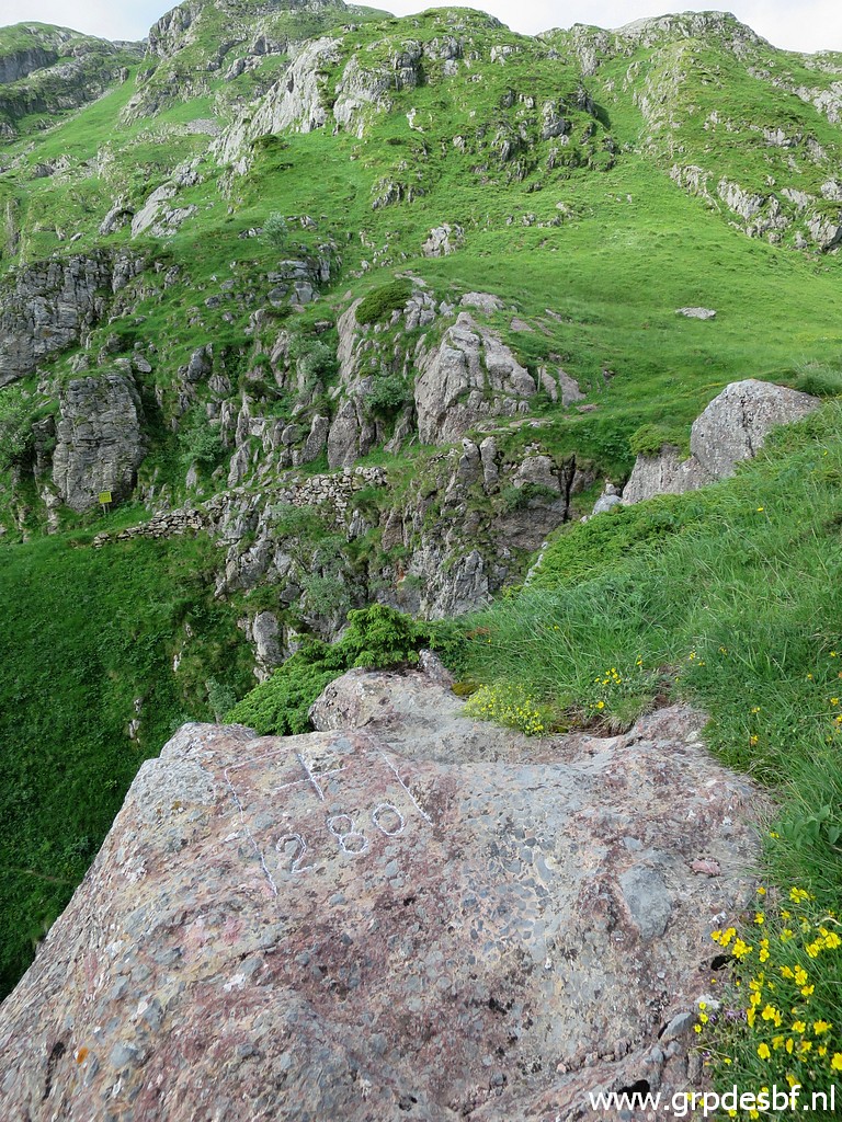
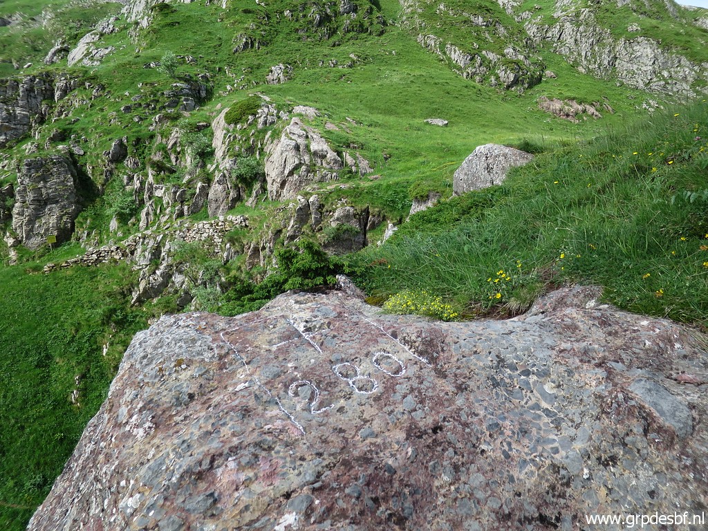
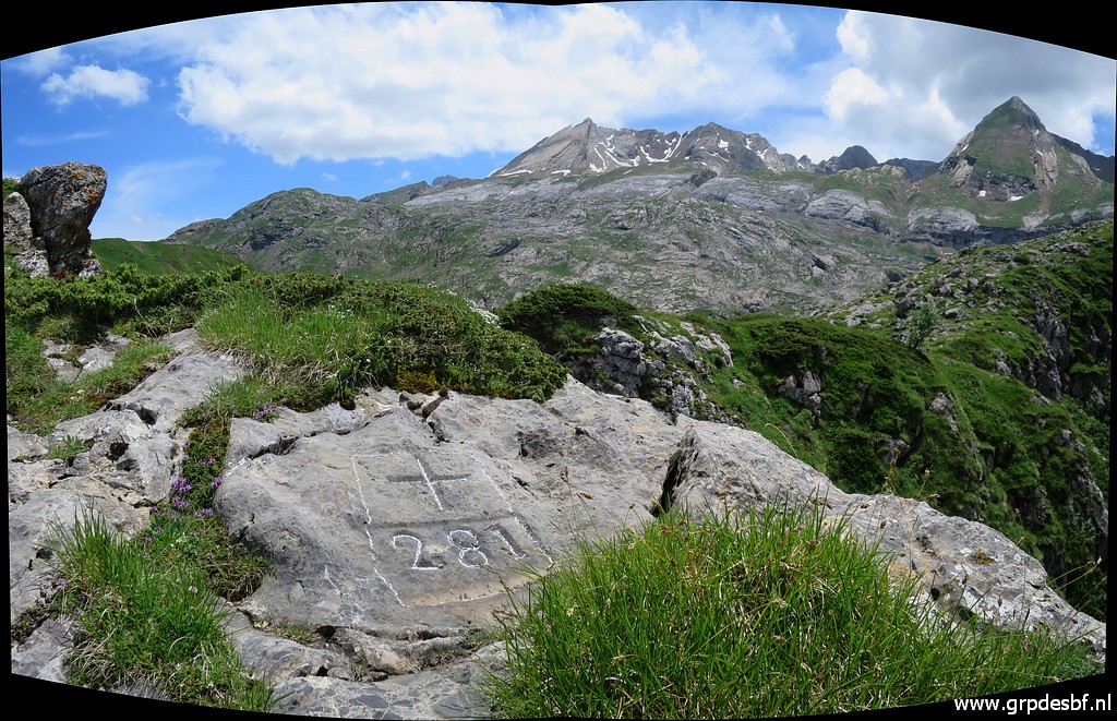
 | Panorama with bm280 (click photo to enlarge) |
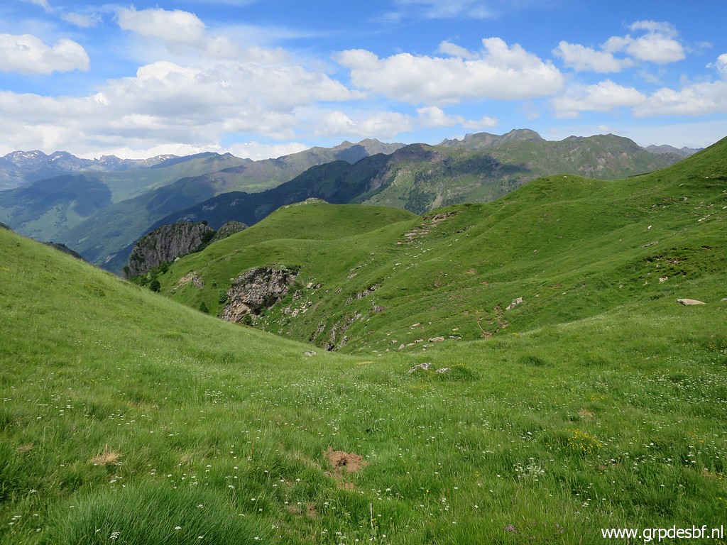
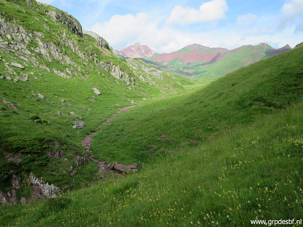 | Then I walk into the valley W of the pass. (click photo to enlarge) |
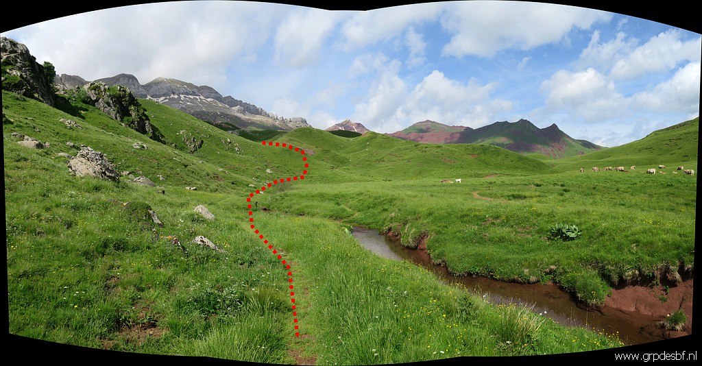 | You need to cross some - crystal-clear - streams and then curve to the left as indicated on the picture. (click photo to enlarge) |
 | In that way you can join the GR11-trail. (click photo to enlarge) |
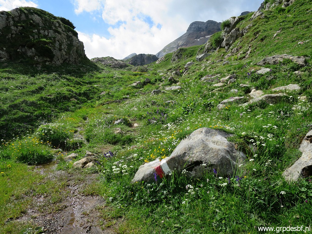 | Spot the GR-waymarks. (click photo to enlarge) |
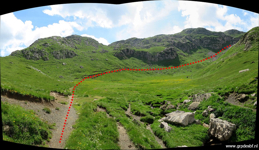 | The GR11-trail heads to a sort of mountain pass. (click photo to enlarge) |
 | Getting close to that mountain pass. (click photo to enlarge) |
 | Almost there. (click photo to enlarge) |
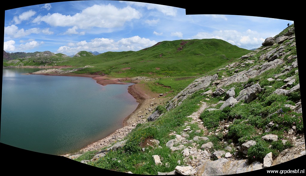
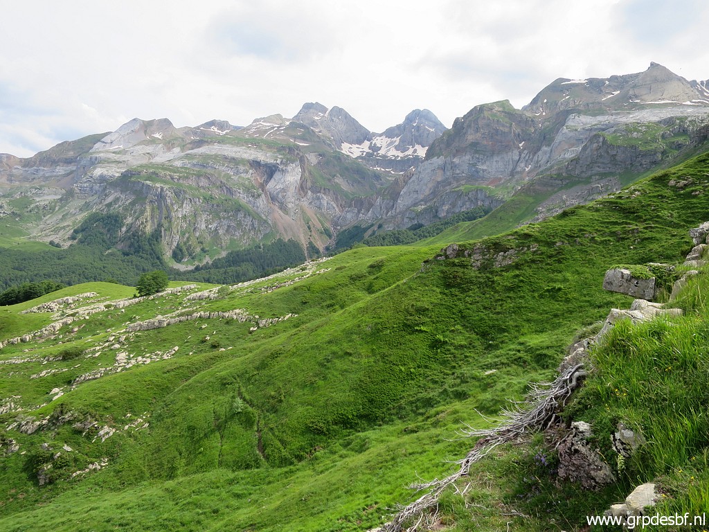
 | Soon after the mountain pass, the lake of Ibon de Estanés comes in sight. (click photo to enlarge) |
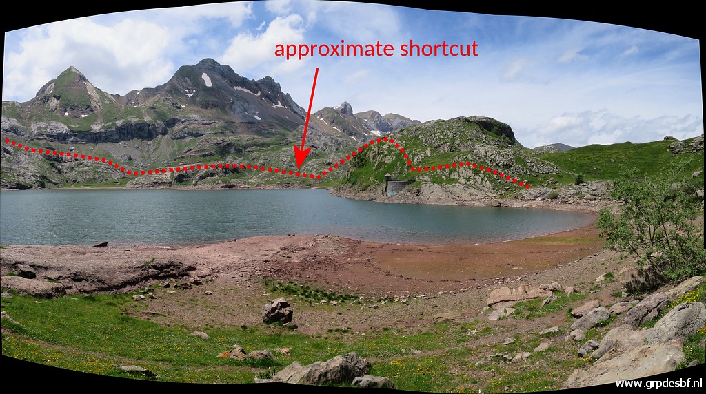
 | You can see how I circumvent the lake today. But I should have better tried the shortcut. On OpenStreetMaps you can see a trail descending directly to the lake. More about it further on. By the way, on 24 august 2011 I did that shortcut to the lake by misstake. (click photo to enlarge) |
 | I soon discover that the GR11 has changed its course and is not going anymore to the SE-corner of the lake. Instead I have to follow the old trail (click photo to enlarge) |
 | which brings me gradually closer to the lake (click photo to enlarge) |
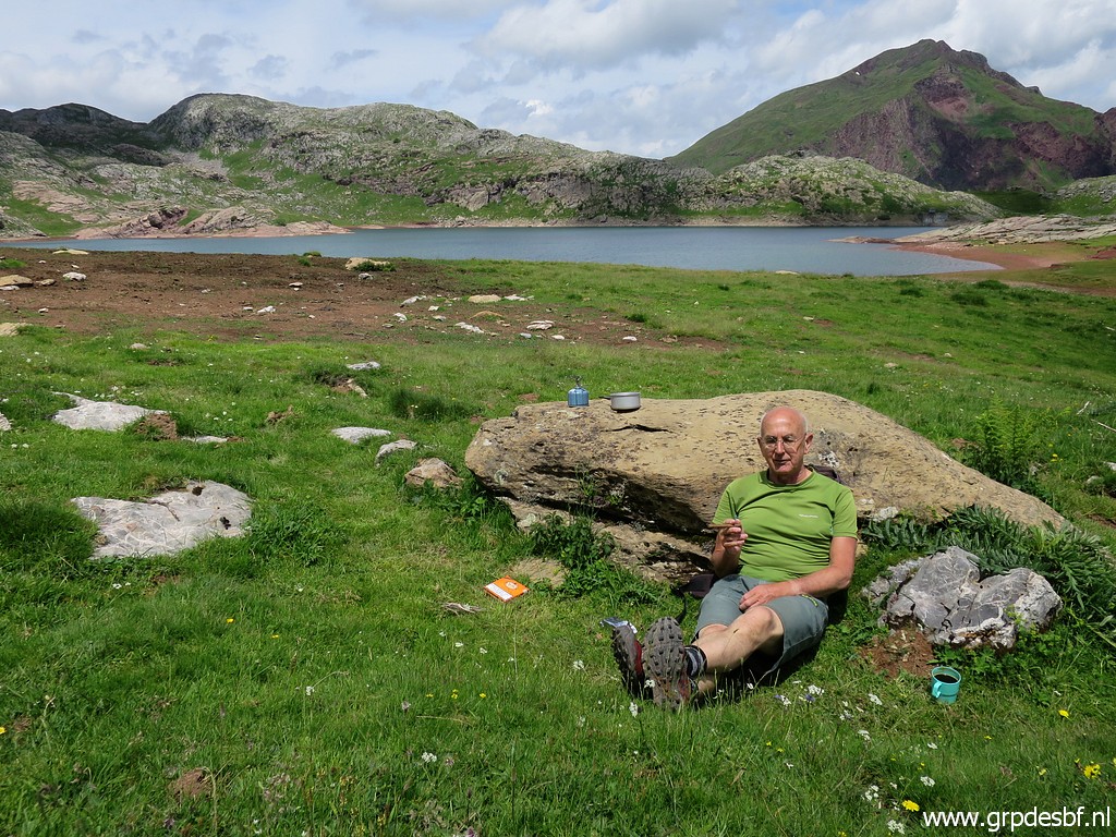 | and finally to it. Time for a lunch break and a cigar. (click photo to enlarge) |
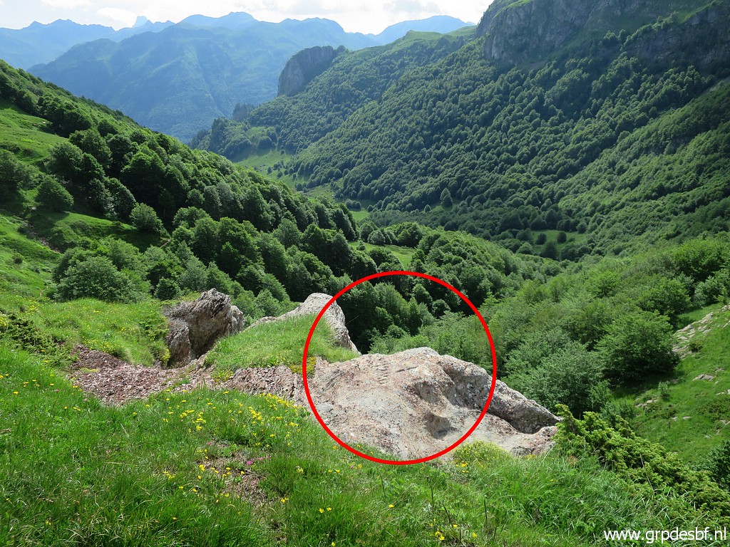
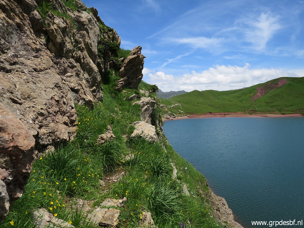
 | On my feet again and continuing along the lake. You see again the shortcut which I am going to check from the side of Pas de l'Echelle. (click photo to enlarge) |
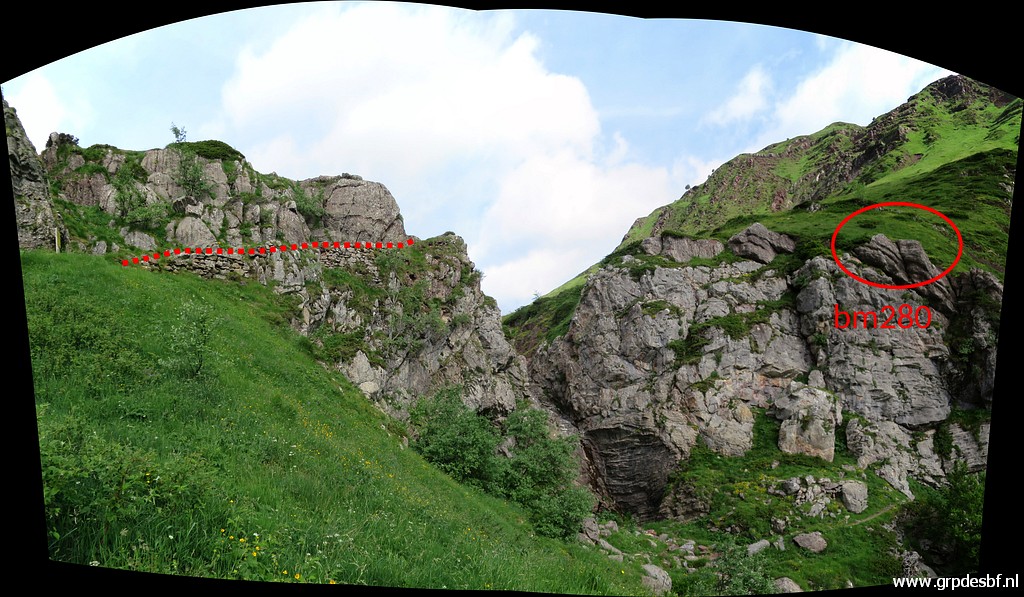
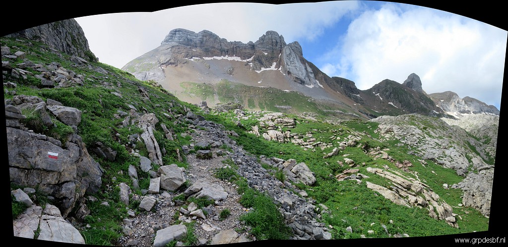
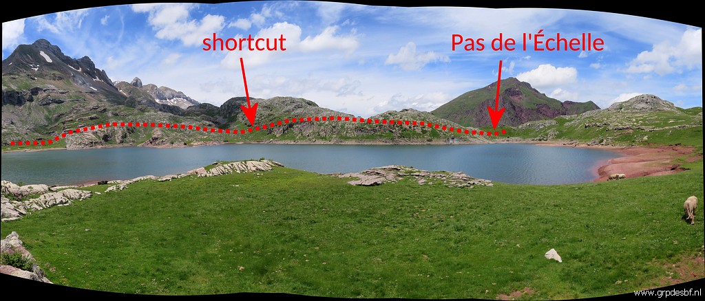
 | This
panorama shows the meaning better: the shortcut will bring you a lot
faster to Pas de l'Échelle (bm281) when coming from bm280. (click photo to enlarge) |
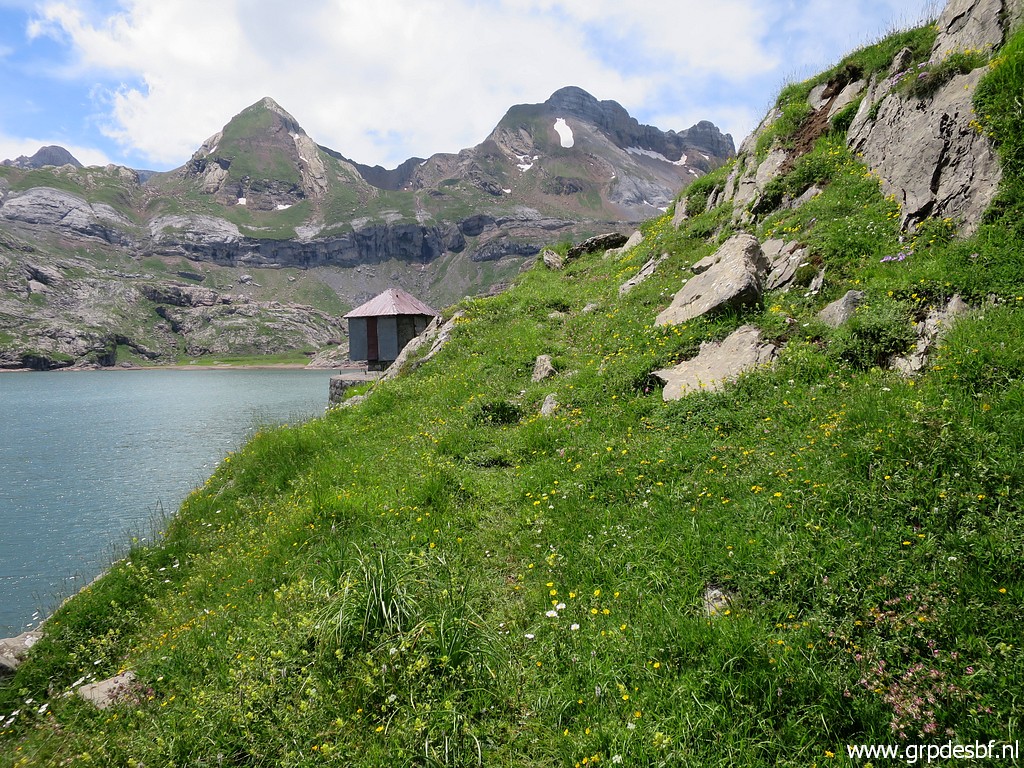 | There is a trail along the N-side of the lake. (click photo to enlarge) |
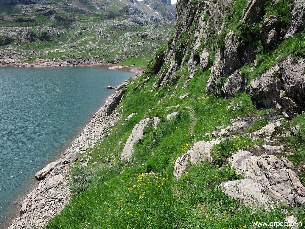 | This part seems steep and tricky but in fact it gives no problems. (click photo to enlarge) |
 | It descends finally to the lakeside and that's all I want to know. (click photo to enlarge) |
 | I return. (click photo to enlarge) |
 | The spots of bm281 and 282 come in sight. (click photo to enlarge) |
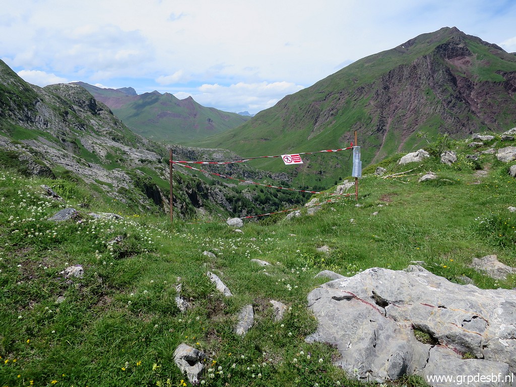 | At the Pas de l'Échelle, the trail downhill blocked because of reconstruction works. (click photo to enlarge) |
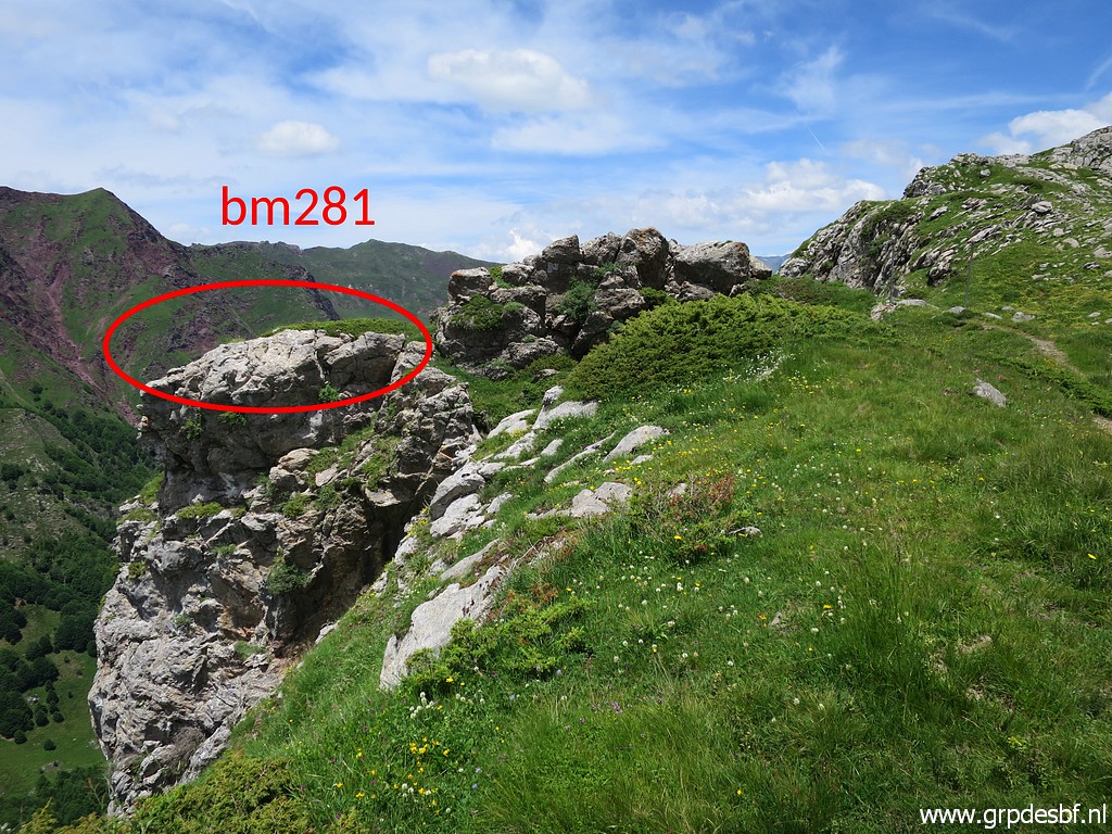 | Bm281 is in fact 50m N of Pas de l'Échelle. (click photo to enlarge) |
 | Bm281 (click photo to enlarge) |
 | Bm281 (click photo to enlarge) |
 | Bm281 (click photo to enlarge) |
 | Bm281 (click photo to enlarge) |
 | The spot of bm282, as seen from bm281. (click photo to enlarge) |
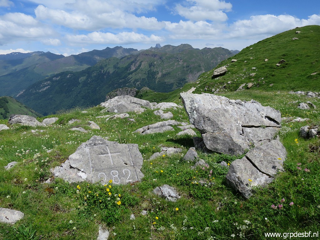 | Having arrived at bm282 (click photo to enlarge) |
 |
Bm282 |
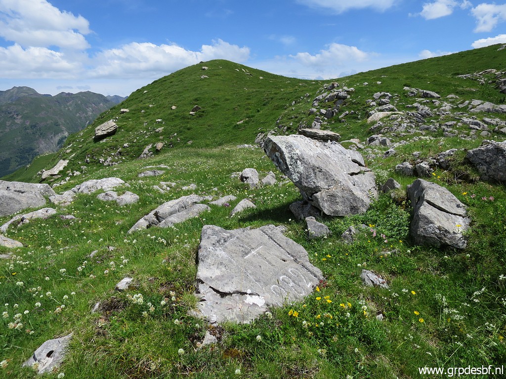
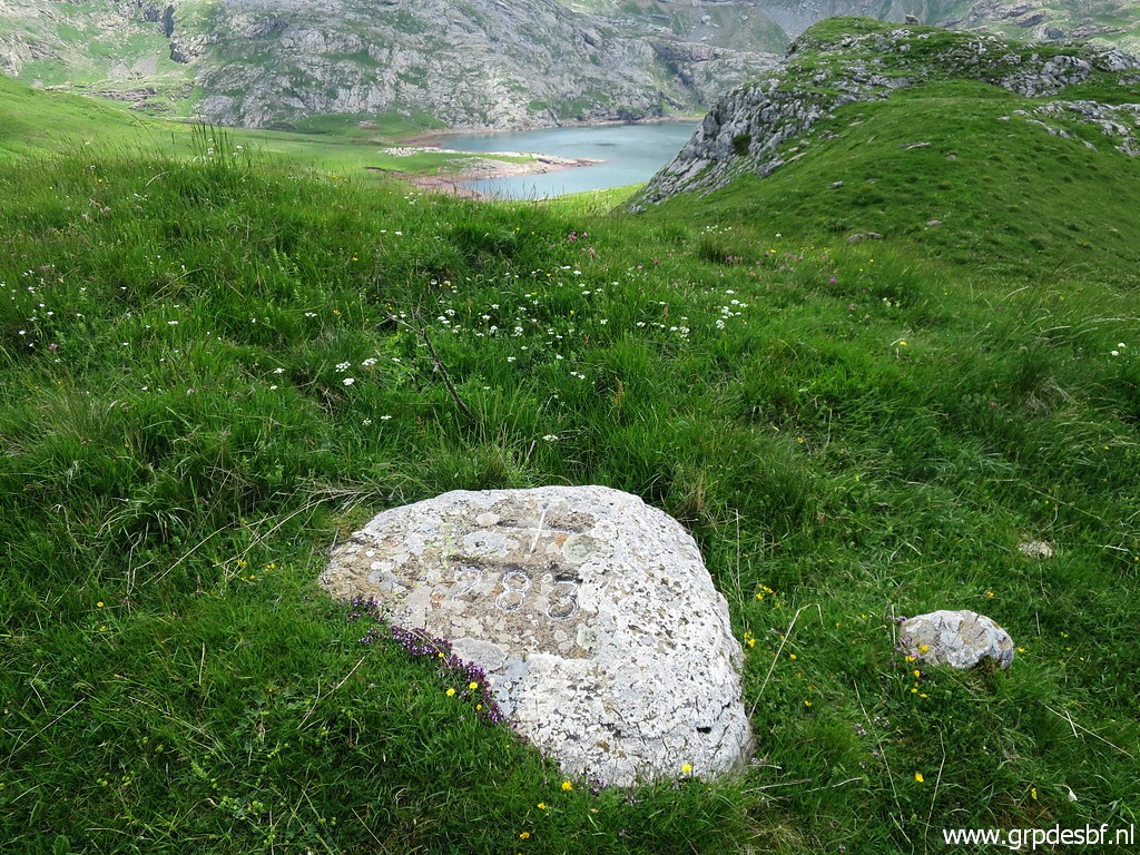
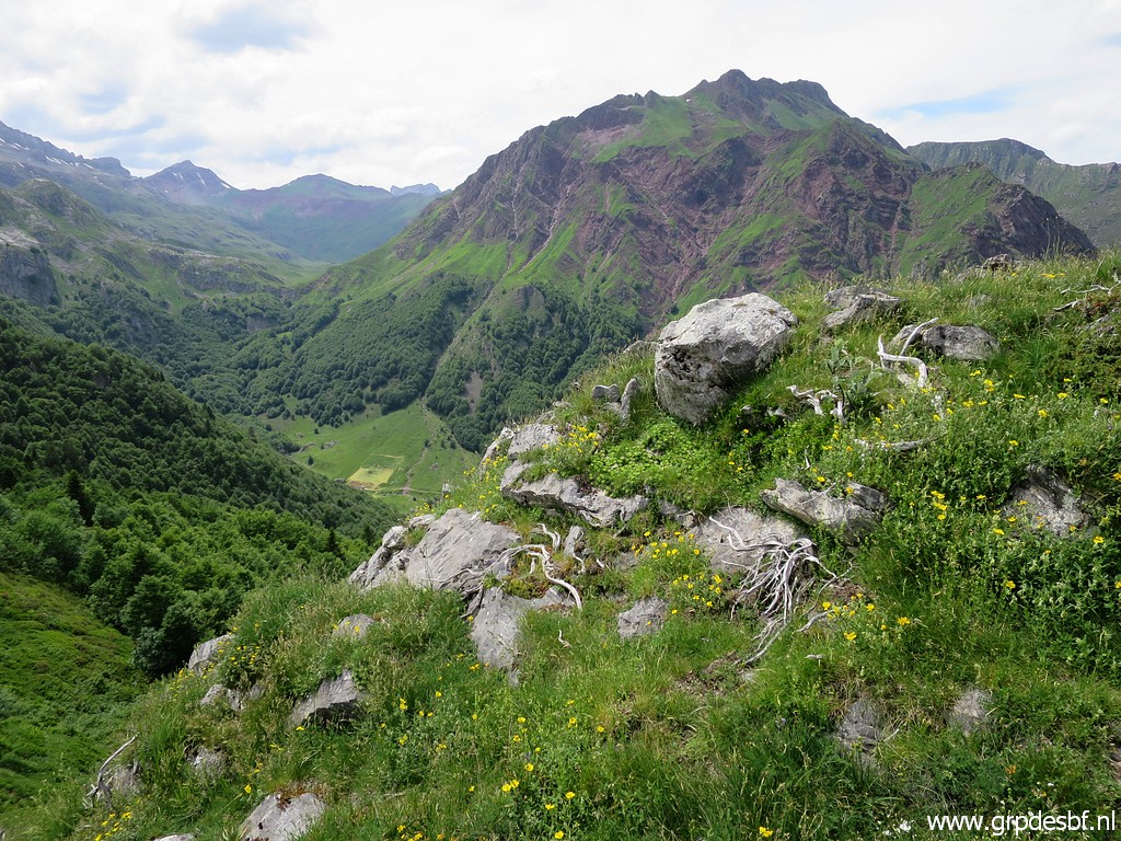
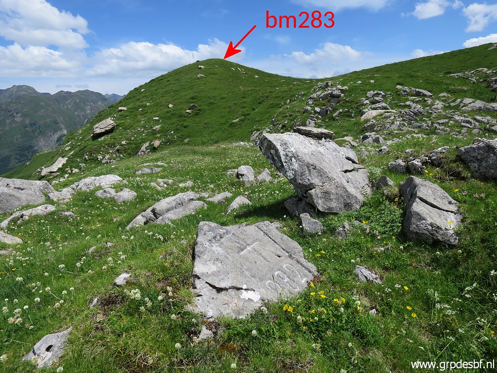 | Bm282 with the hilltop of bm283 in sight. (click photo to enlarge) |
 | Bm282 (click photo to enlarge) |
 | Having arrived at bm283. (click photo to enlarge) |
 | Bm283, in the background the Ibon de Estanés. (click photo to enlarge) |
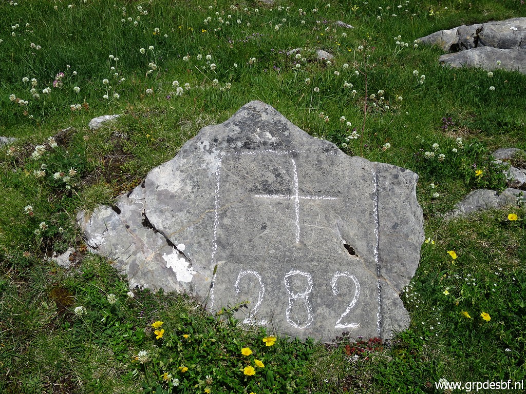
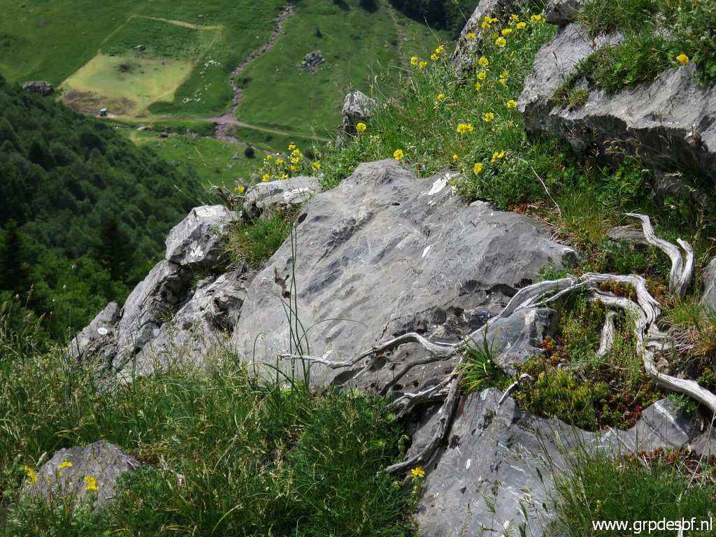
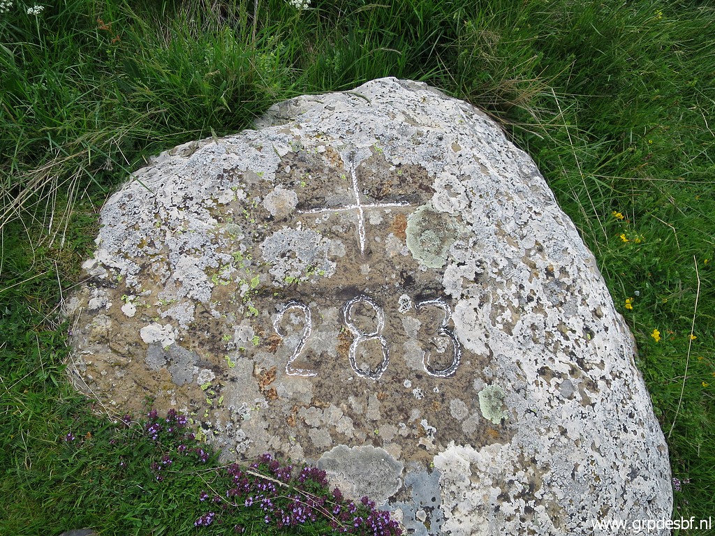 | Bm283 (click photo to enlarge) |
 | Bm283, looking back to where I came from. (click photo to enlarge) |
 | Bm283 (click photo to enlarge) |
 | Bm283 (click photo to enlarge) |
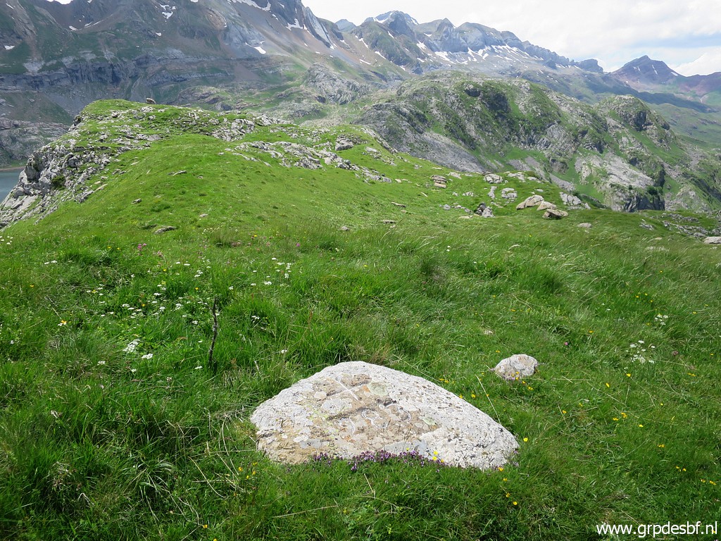
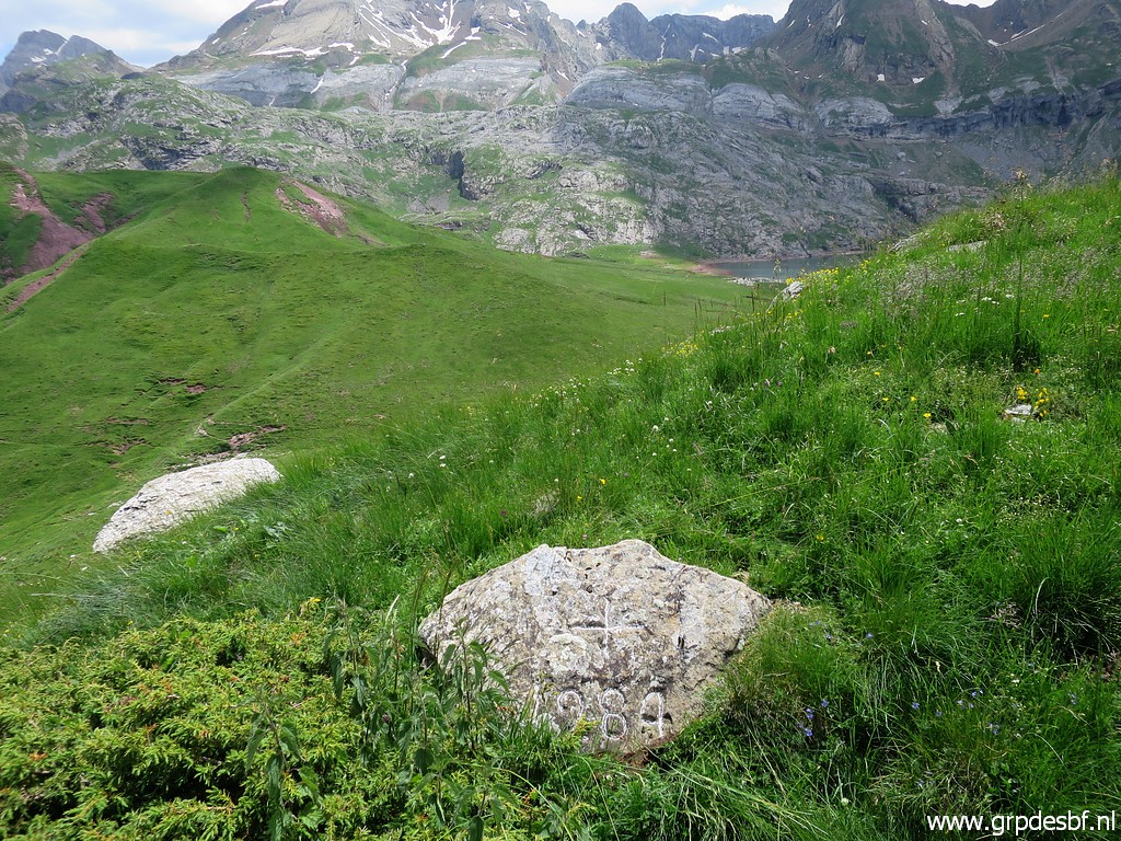
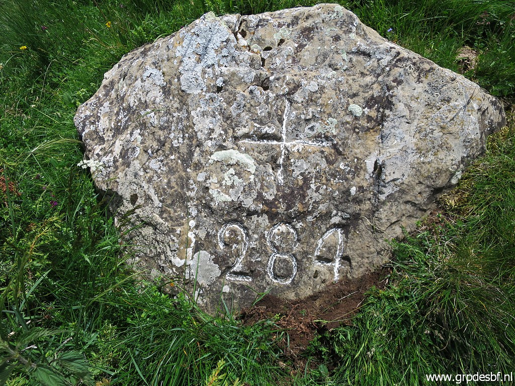
 | Approaching the hilltop with bm284 (click photo to enlarge) |
 | Bm284 (click photo to enlarge) |
 | Bm284 (click photo to enlarge) |
 | Bm284, looking back to where I came from. (click photo to enlarge) |
 | Bm284 (click photo to enlarge) |
 | Bm284 (click photo to enlarge) |
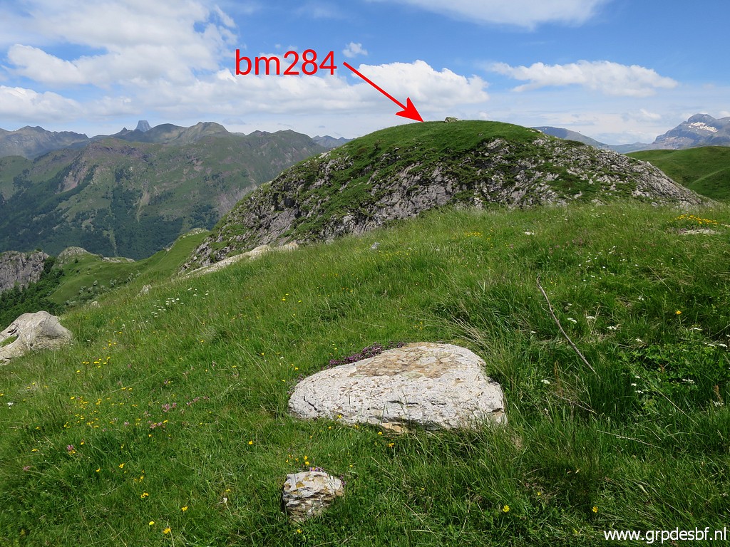
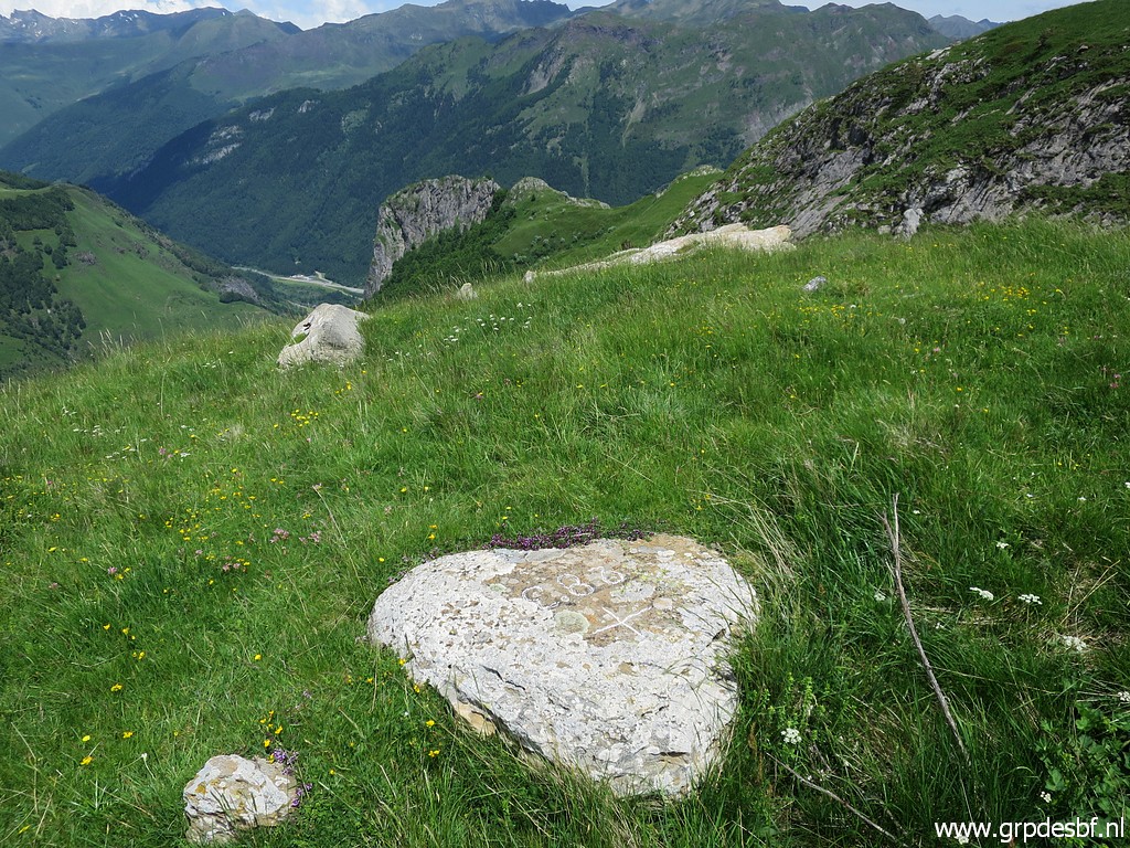
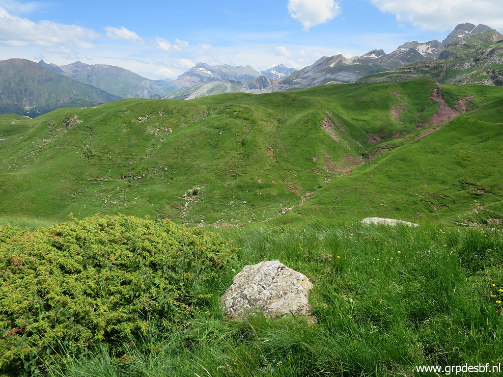
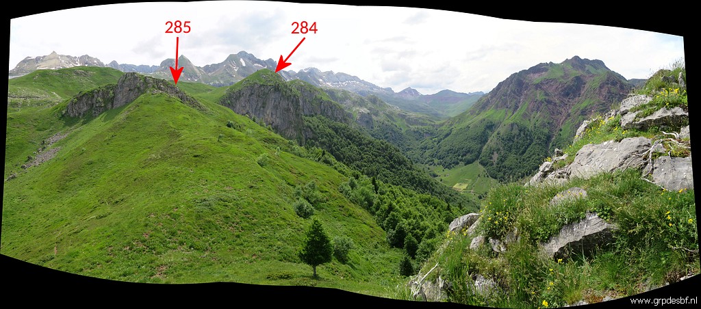
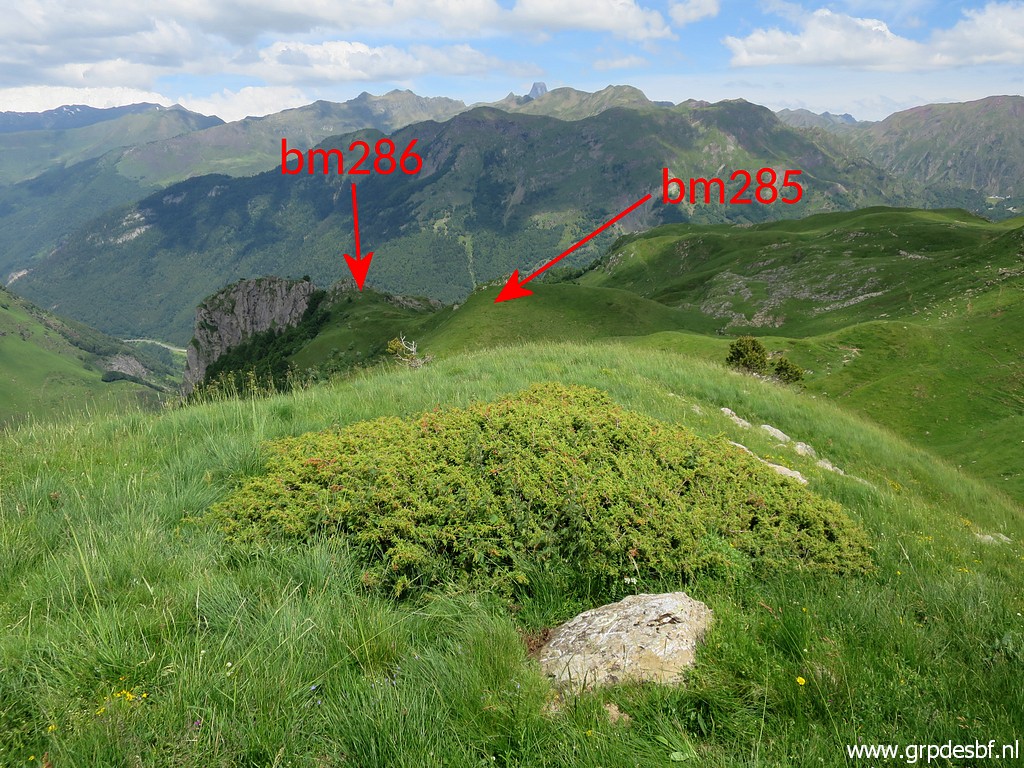 | Bm284 with the next goals in sight. (click photo to enlarge) |
 | Along the hillside. (click photo to enlarge) |
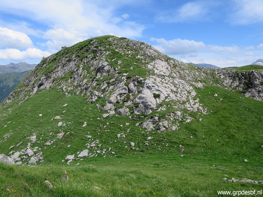
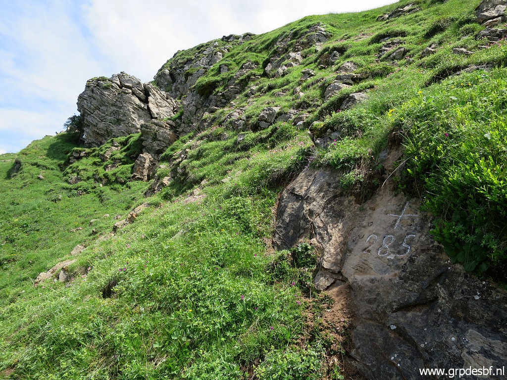
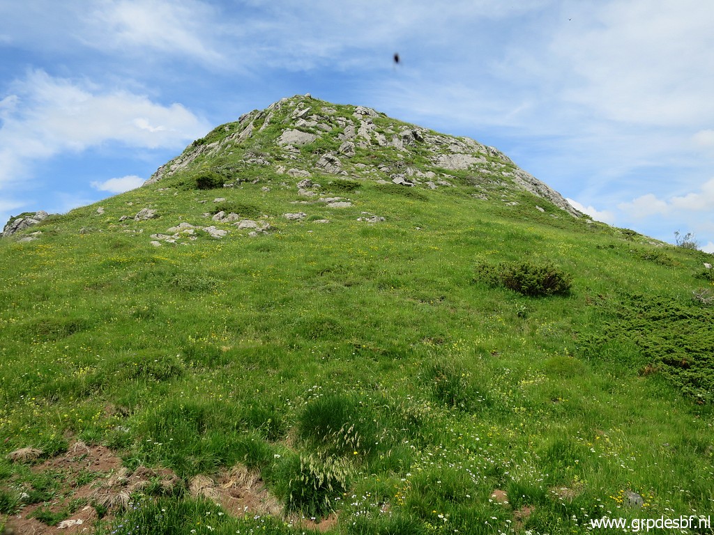
 | with the hilltop of bm285 in front of me. I must say that 10 years ago progress was easier on the many cattle tracks then. (click photo to enlarge) |
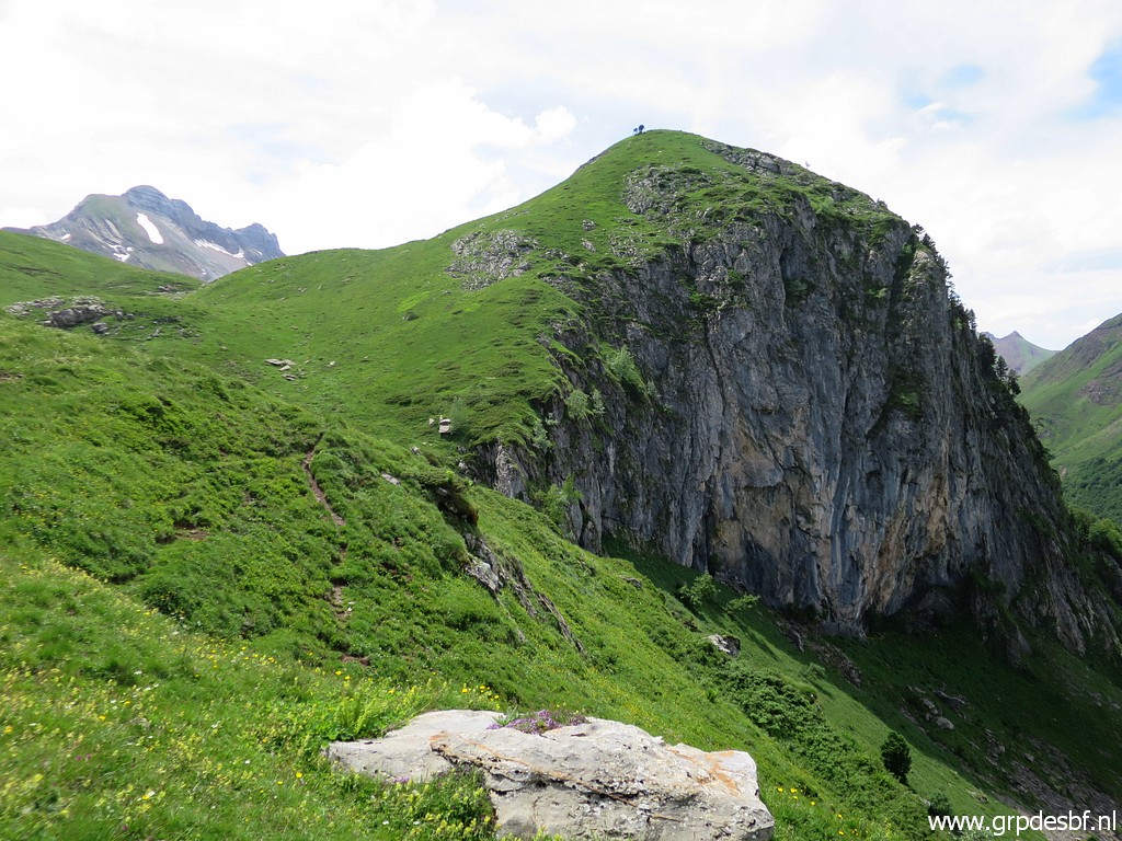 | Lookig back to the hilltop of bm284 (click photo to enlarge) |
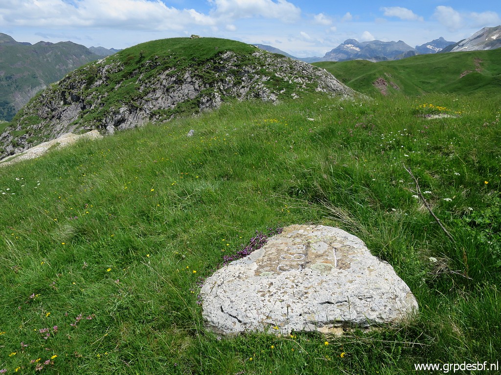
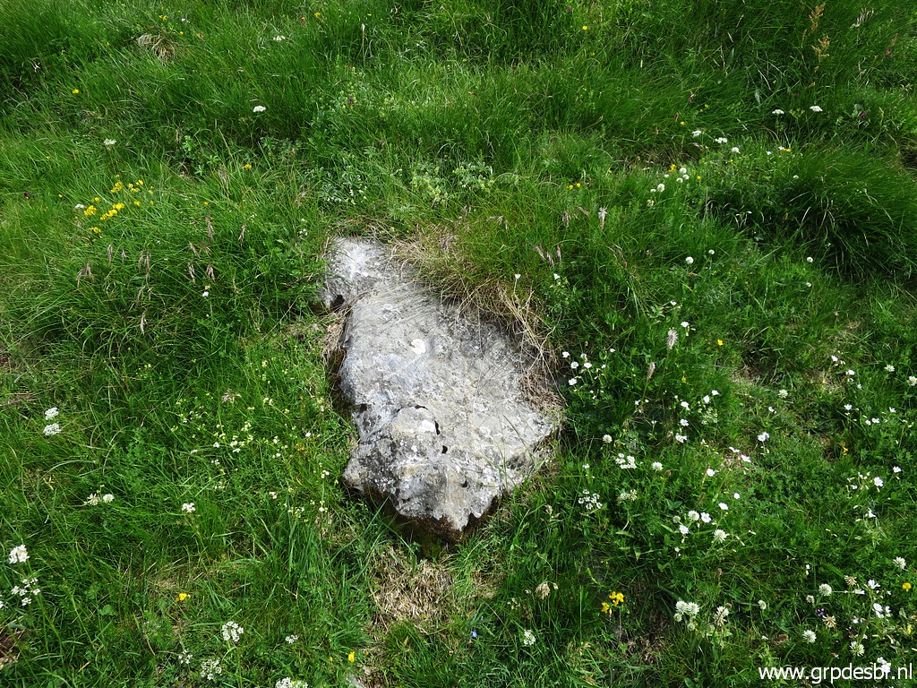
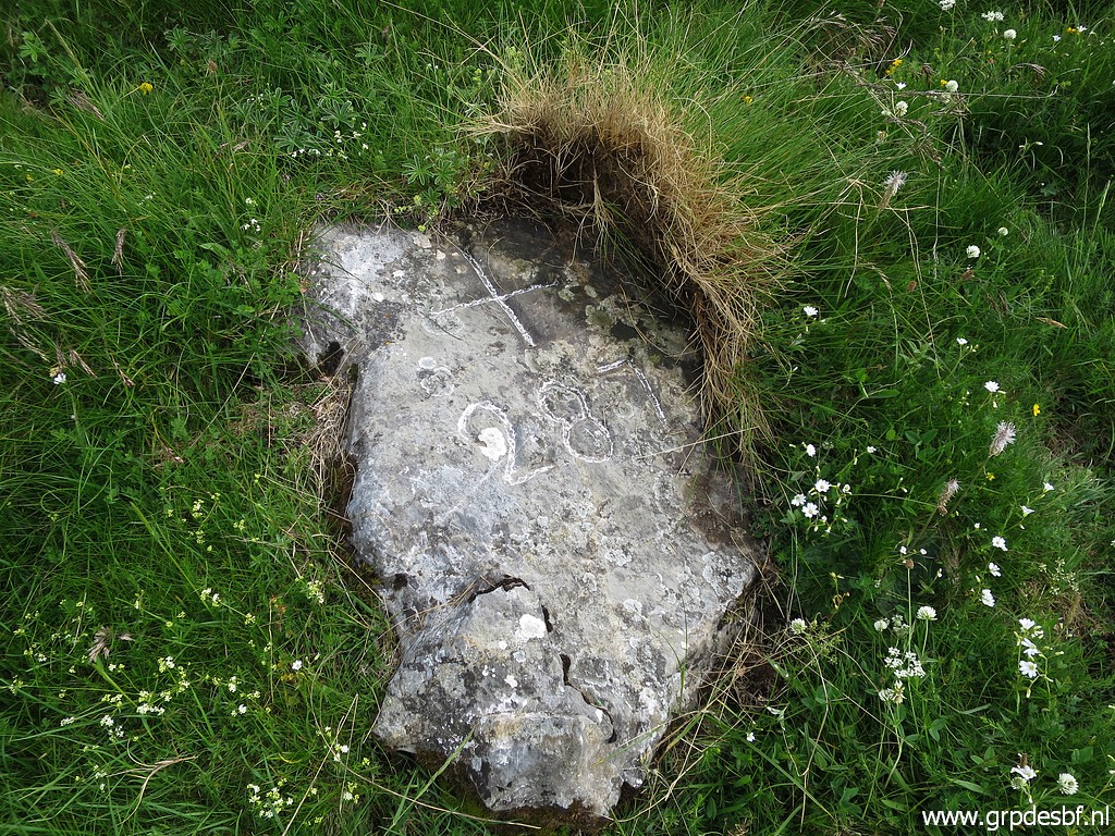
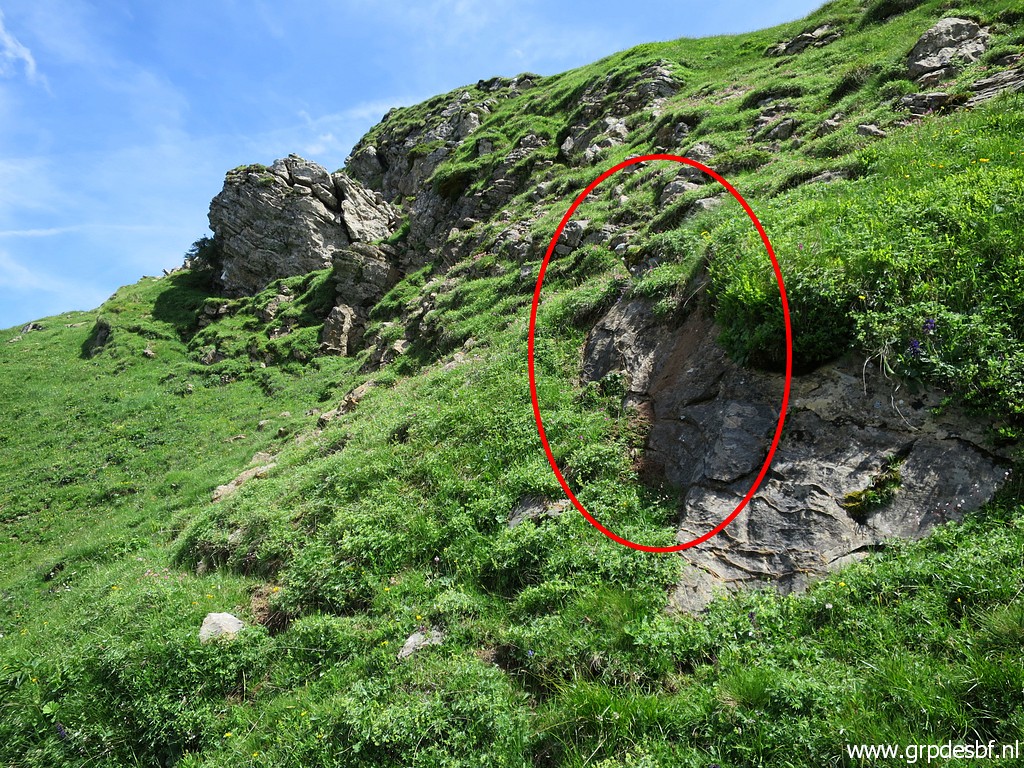 | Bm285 is not at the top of the hill but at its side. But I have difficulty to find it. (click photo to enlarge) |
 | It turns out that bm285 (click photo to enlarge) |
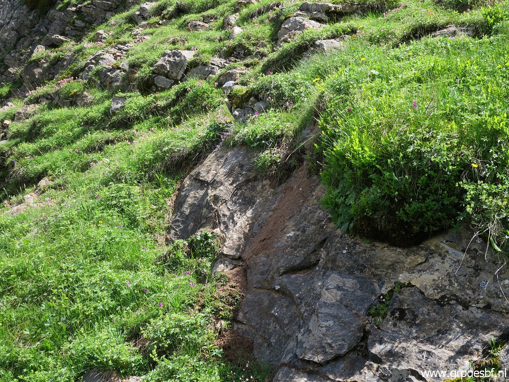
 | is covered by mud.... (click photo to enlarge) |
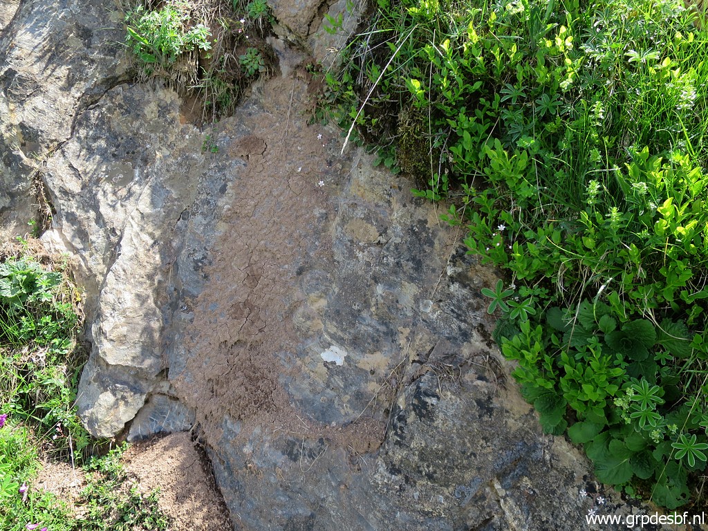
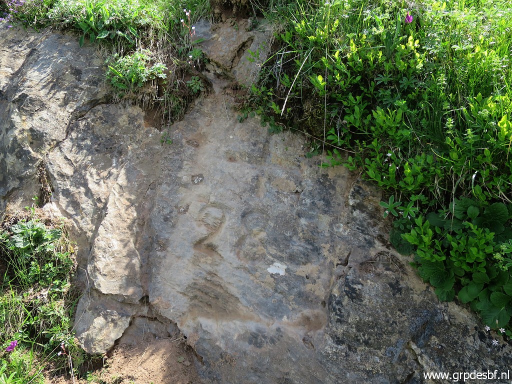 | With my brush I can uncover bm285 (click photo to enlarge) |
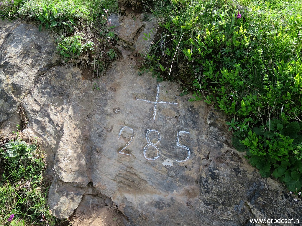 | Bm285 (click photo to enlarge) |
 | Bm285 (click photo to enlarge) |
 | Bm285 (click photo to enlarge) |
 | Bm285 (click photo to enlarge) |
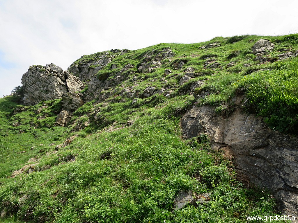
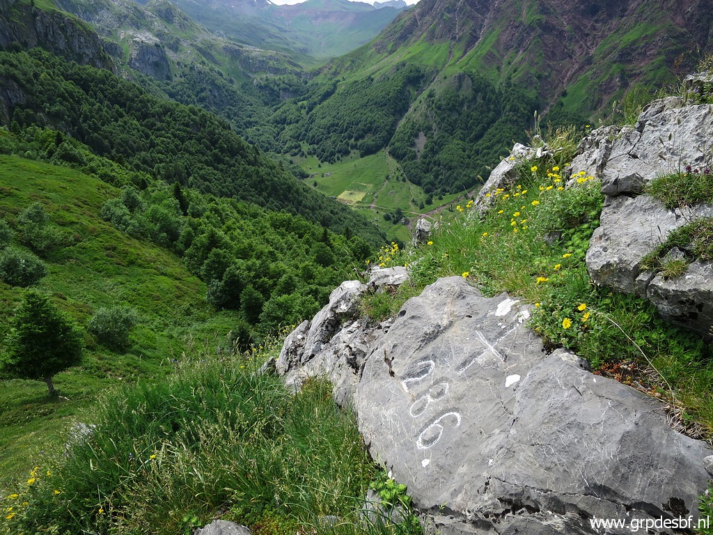
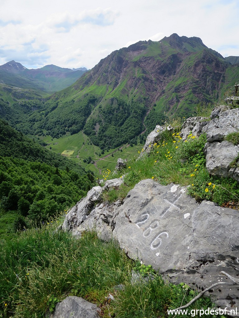
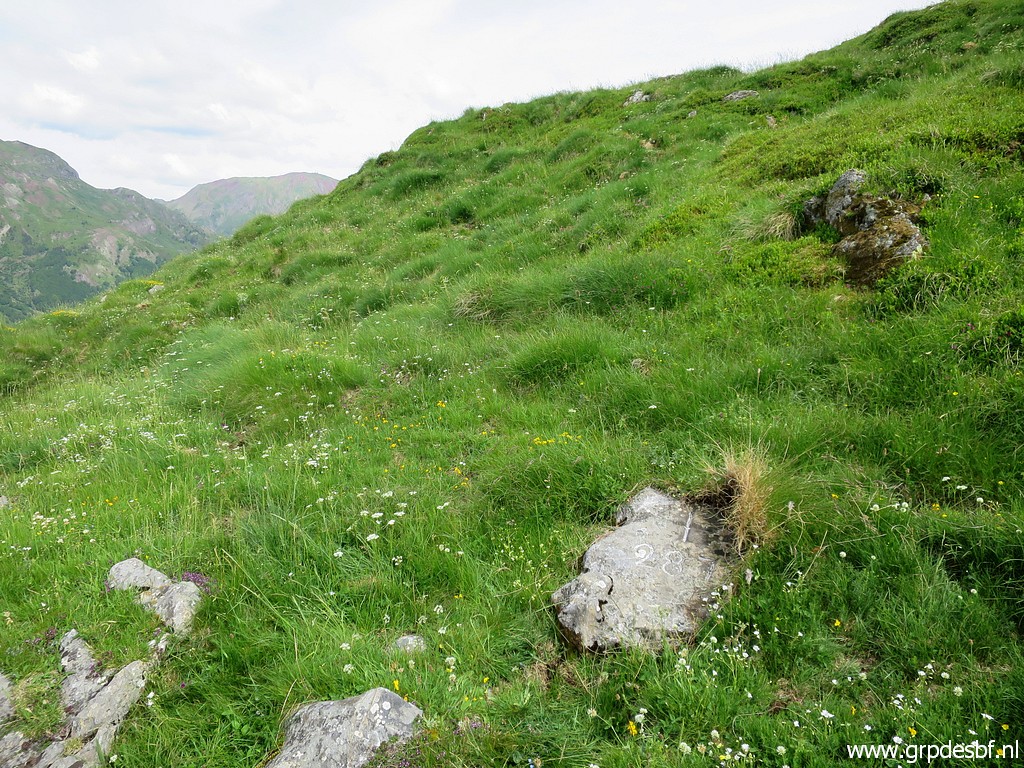
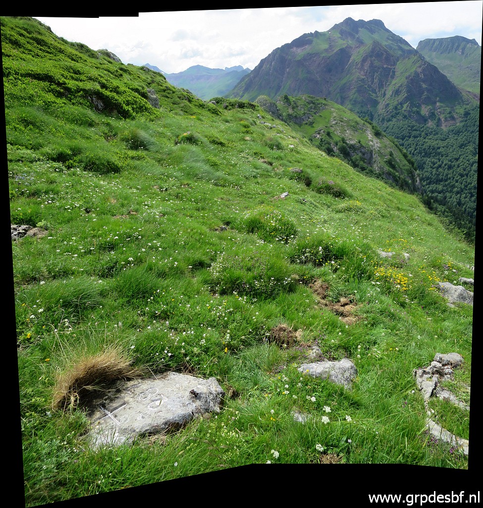
 | Bm286 is at the hilltop in front. (click photo to enlarge) |
 | Approaching that hilltop and (click photo to enlarge) |
 | climbing to bm286. (click photo to enlarge) |
 | Bm286 (click photo to enlarge) |
 | Bm286 (click photo to enlarge) |
 | Bm286 (click photo to enlarge) |
 | Bm286 (click photo to enlarge) |
 | Bm286, looking back. (click photo to enlarge) |
 | Bm286 (click photo to enlarge) |
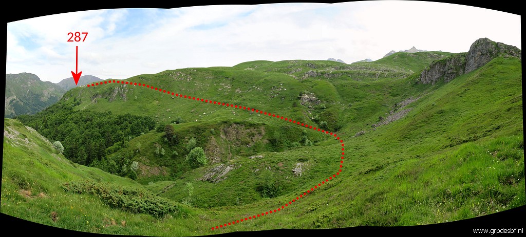 | Then curving to the spot of bm287 (click photo to enlarge) |
 | On my way to bm286 and looking back. (click photo to enlarge) |
 | Bm287 (click photo to enlarge) |
 | Bm287 (click photo to enlarge) |
 | Bm287 Apparently, I had no trouble finding this inconspicuous marker. (click photo to enlarge) |
 | Bm287 (click photo to enlarge) |
 | Bm287 (click photo to enlarge) |
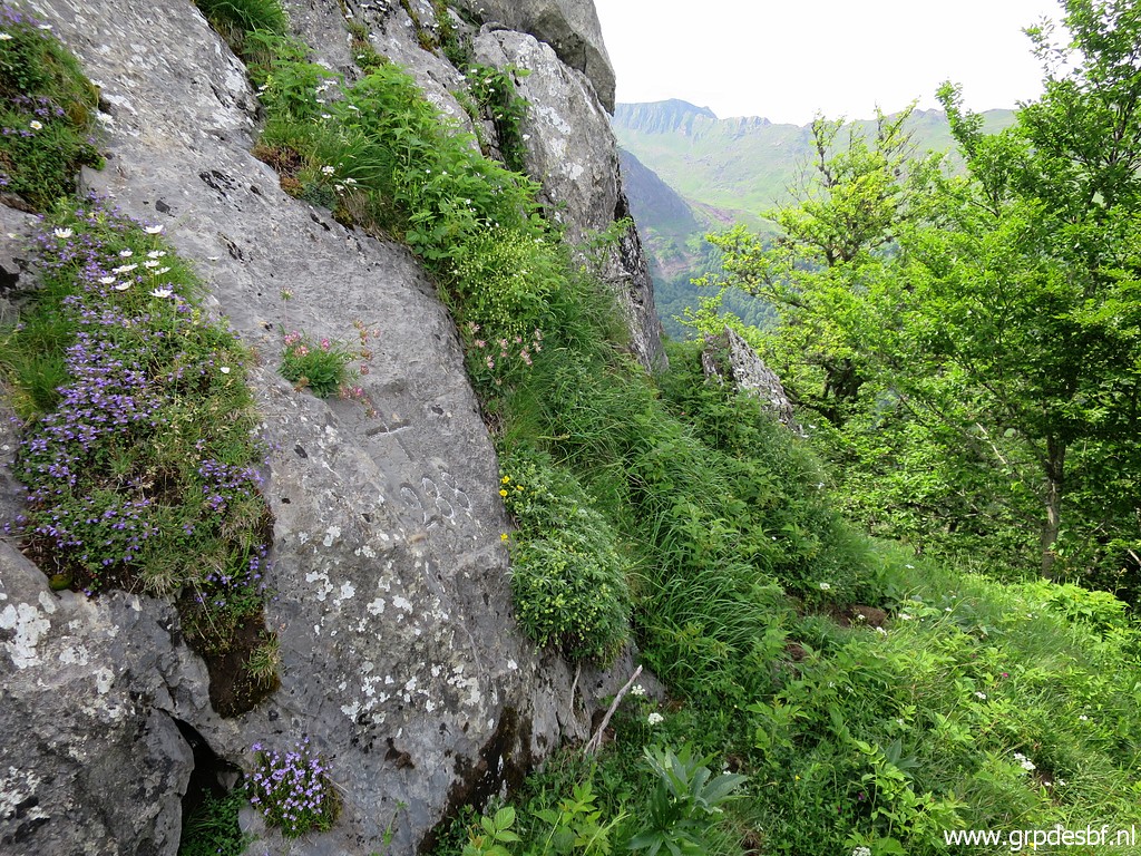 | Bm288 is only 60m E in a straight line but needs a circumventing of the hill. (click photo to enlarge) |
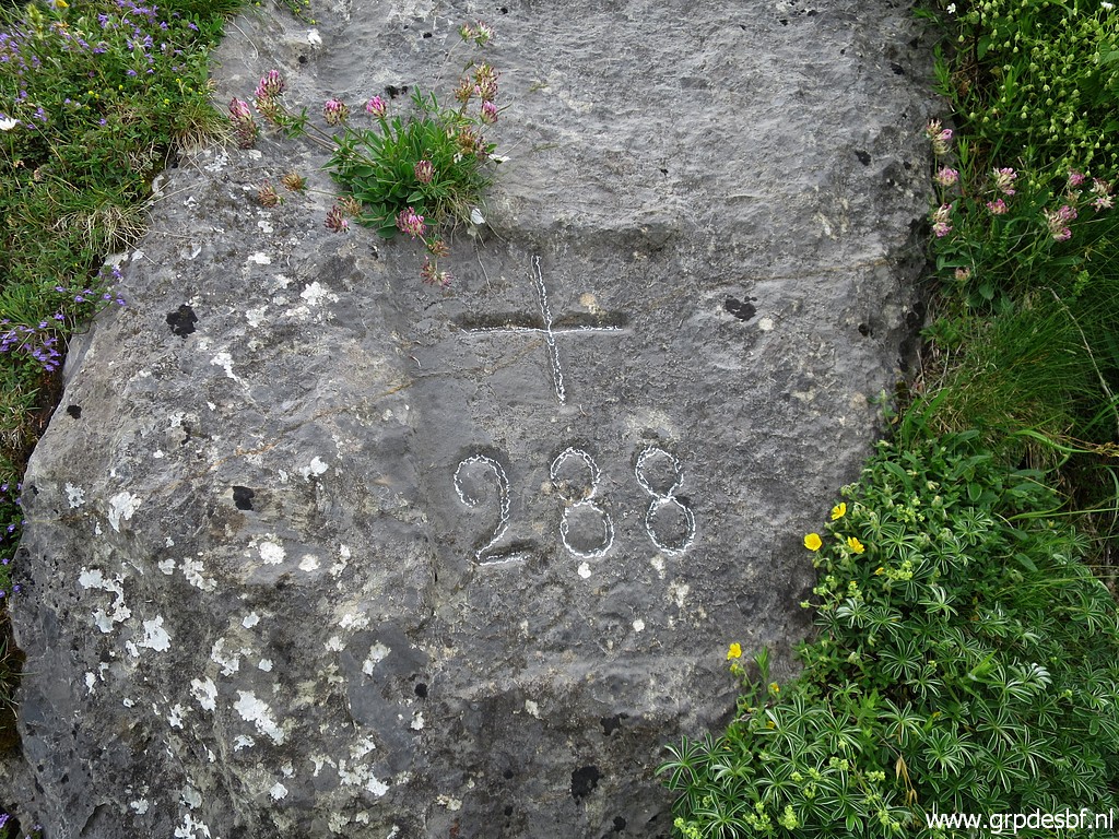 | Bm288 (click photo to enlarge) |
 | Bm288 (click photo to enlarge) |
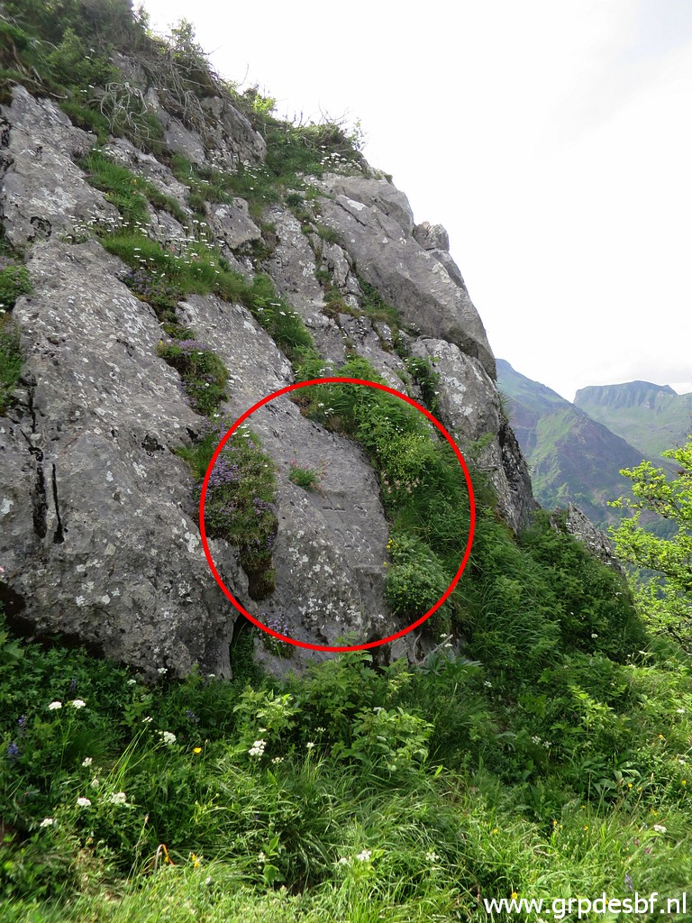 | Bm288 (click photo to enlarge) |
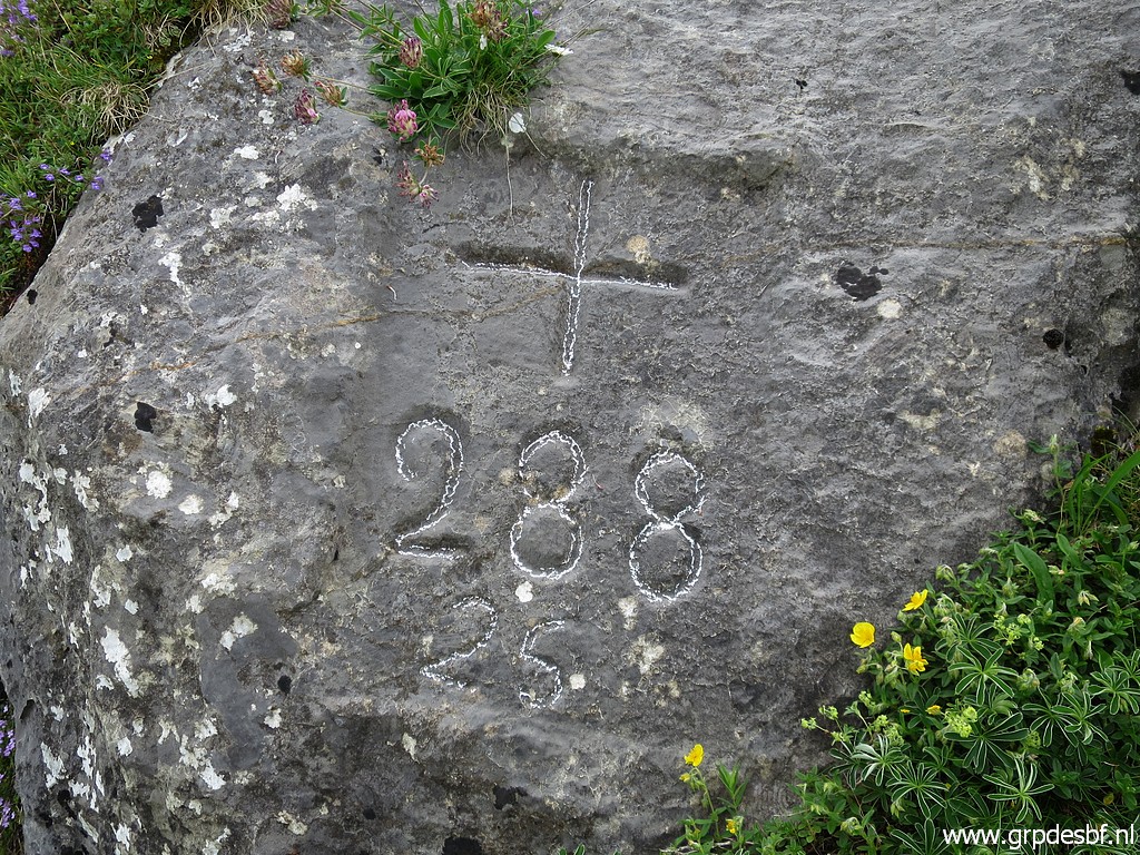 | Bm288 (click photo to enlarge) |
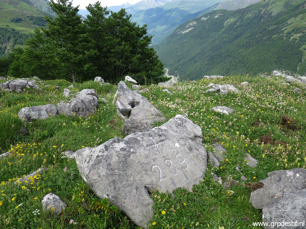
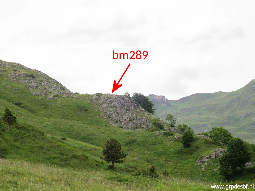
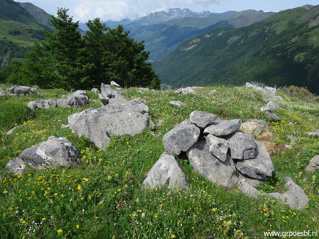 | Bm289 is only 85m SSE of bm288. (click photo to enlarge) |
 | Bm289 (click photo to enlarge) |
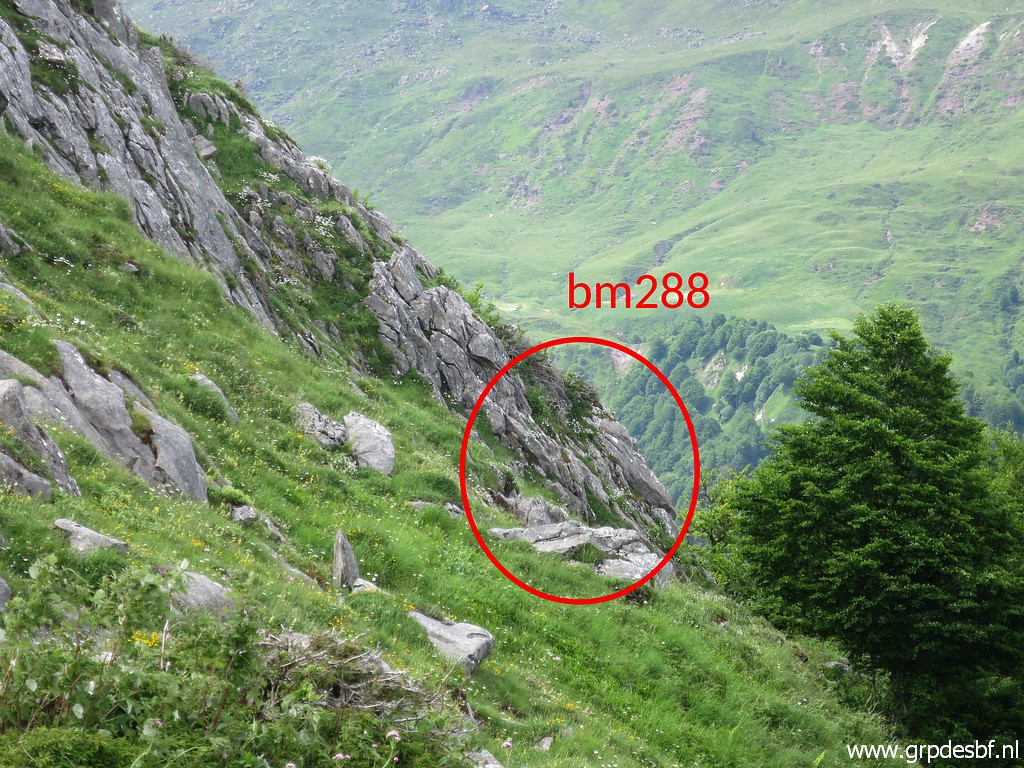 | Zoom-in from the previous picture to the spot of bm288 (click photo to enlarge) |
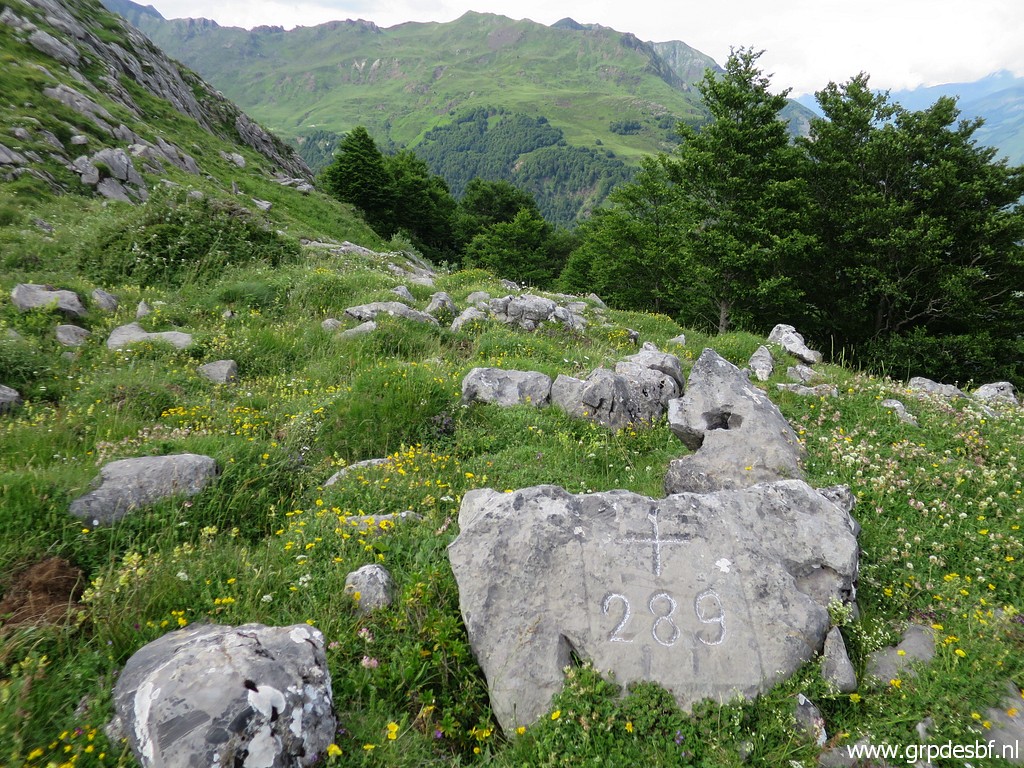
 | Bm289 (click photo to enlarge) |
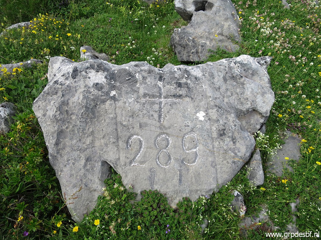 | Bm289 (click photo to enlarge) |
 | Bm289 (click photo to enlarge) |
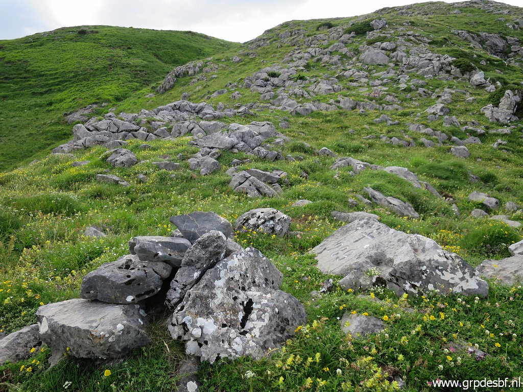
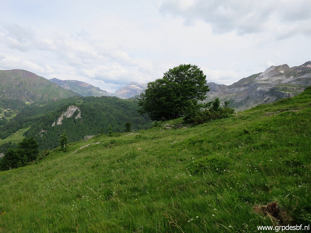
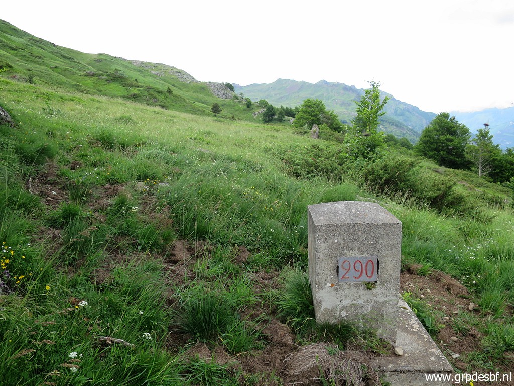
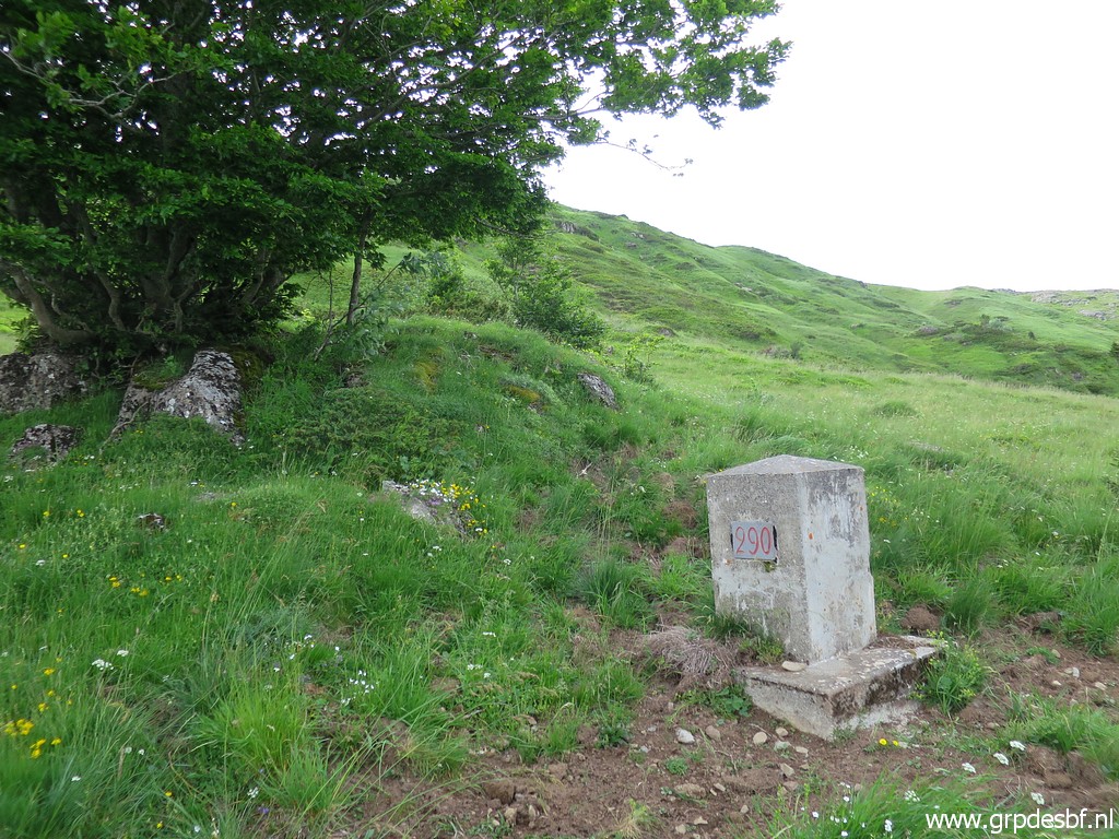
 | Bm290 is lot further along the hillside and well (click photo to enlarge) |
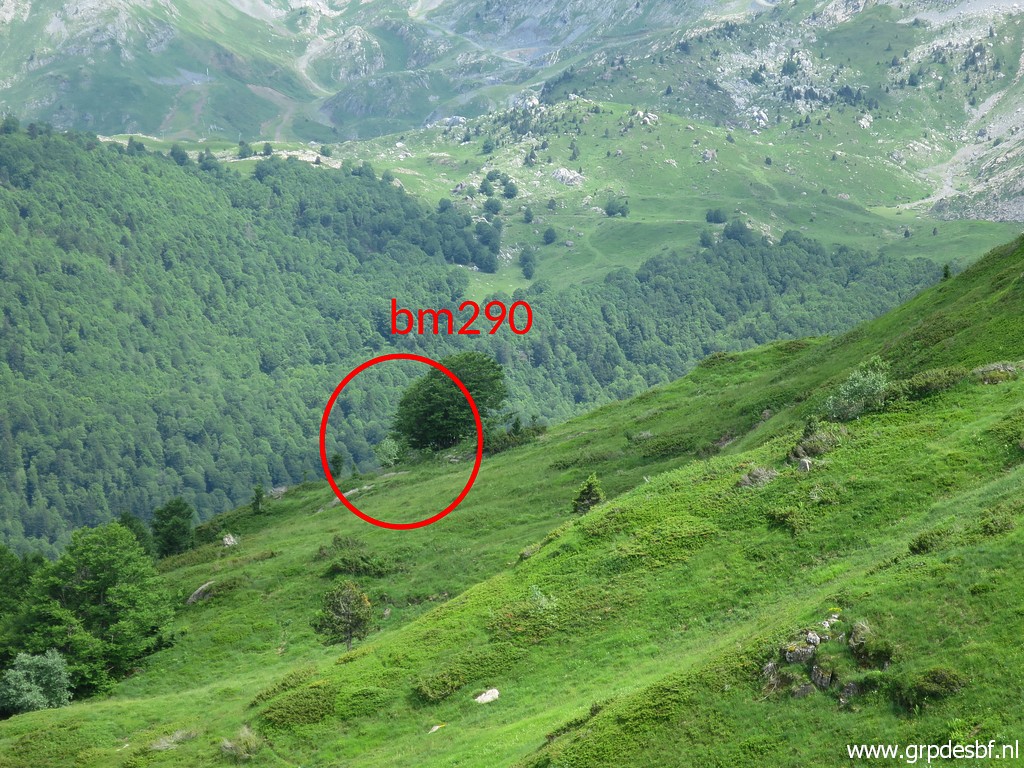 | under this solitary tree. (click photo to enlarge) |
 | Approaching bm290 (click photo to enlarge) |
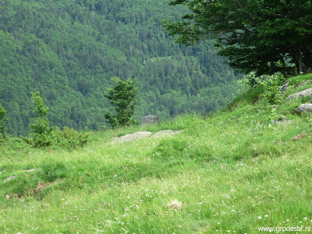 | Bm290 already visible (click photo to enlarge) |
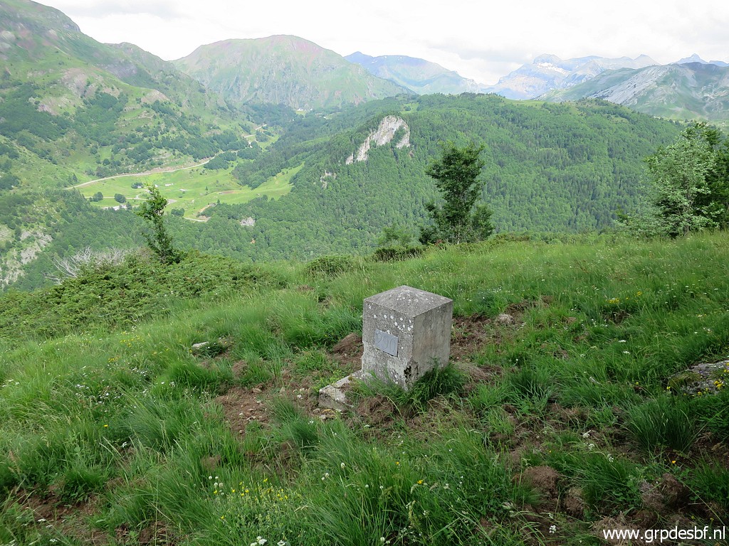 | Bm290 (click photo to enlarge) |
 | Bm290 (click photo to enlarge) |
 | Bm290 (click photo to enlarge) |
 | Looking back to the spot of bm289 (click photo to enlarge) |
 | Bm290 (click photo to enlarge) |
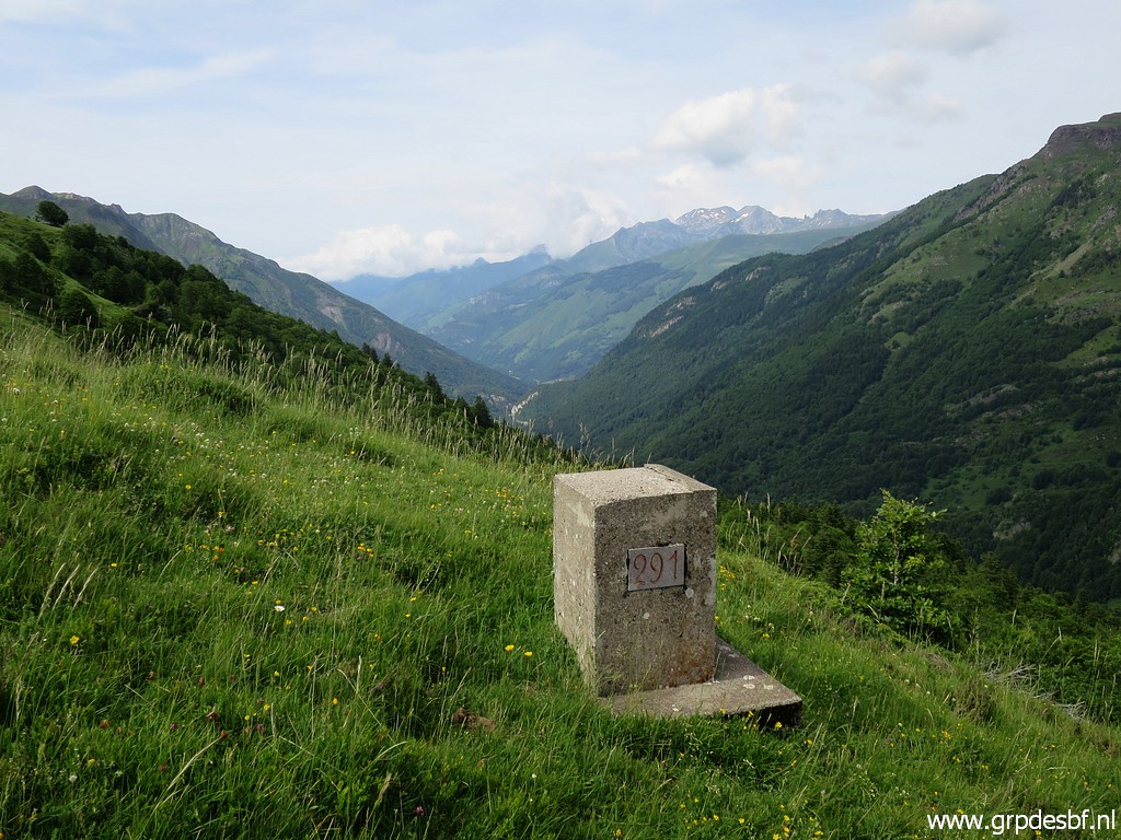
 | Continuing to bm291 (click photo to enlarge) |
 | While getting closer, (click photo to enlarge) |
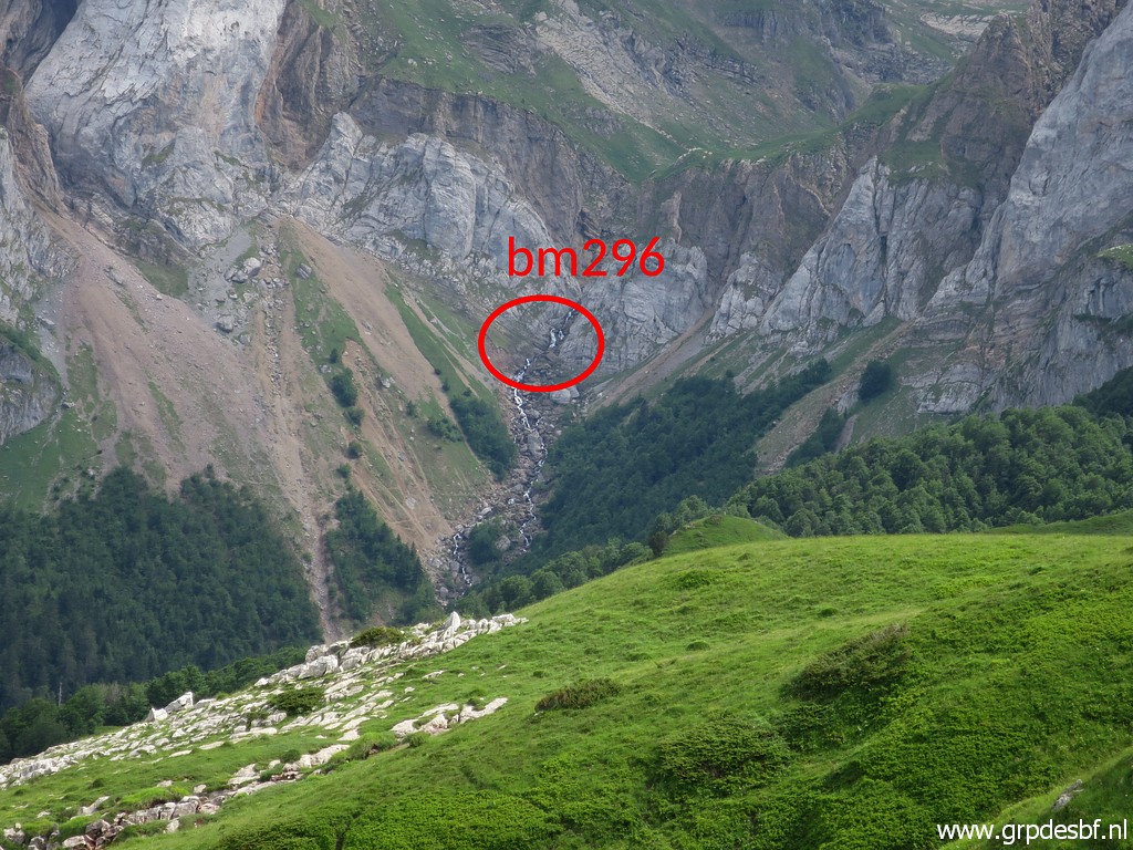 | I can see in the far distance the spot of bm296. I was there yesterday. (click photo to enlarge) |
 | Bm296, further zoom-in (click photo to enlarge) |
 | Bm291 (click photo to enlarge) |
 | Bm291 (click photo to enlarge) |
 | Bm291 (click photo to enlarge) |
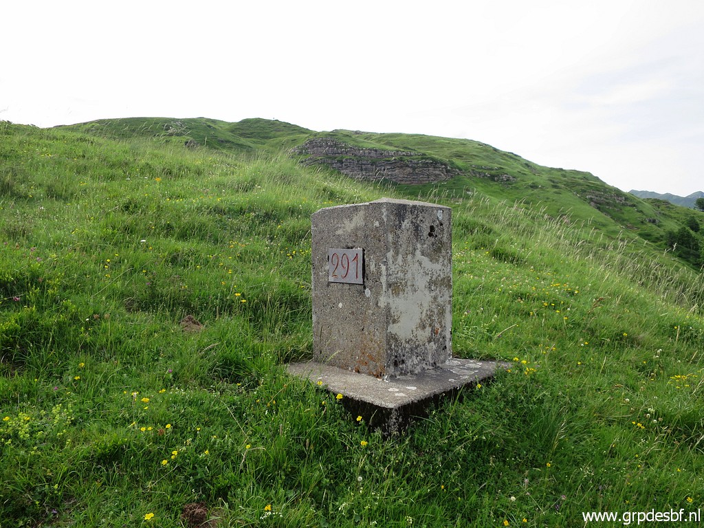 | Bm291 (click photo to enlarge) |
 | Bm291 (click photo to enlarge) |
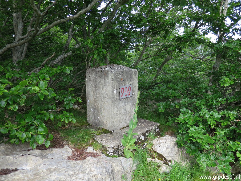
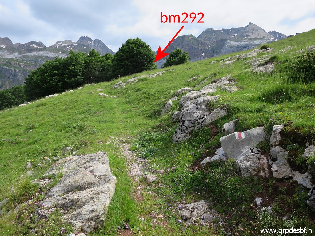 | Then to bm292 (click photo to enlarge) |
 | which is a bit hidden under a tree. (click photo to enlarge) |
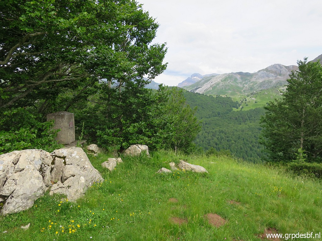
 | Bm292 (click photo to enlarge) |
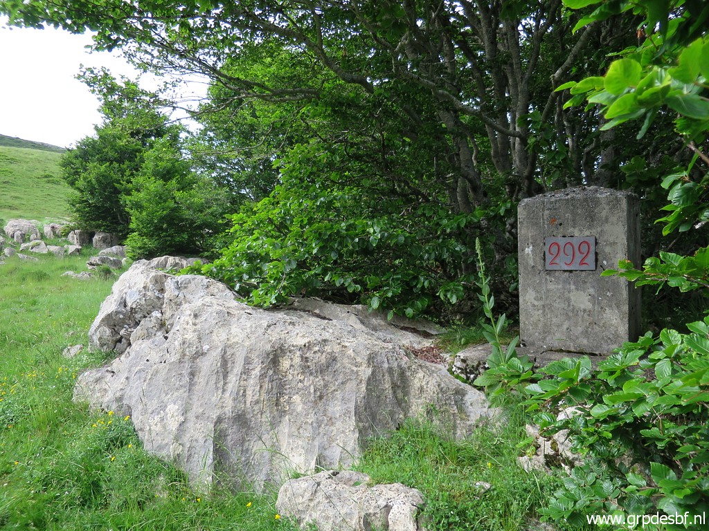 | Bm292 (click photo to enlarge) |
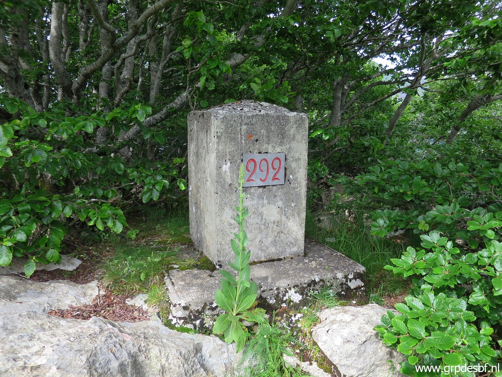 | Bm292 (click photo to enlarge) |
 | Bm292 (click photo to enlarge) |
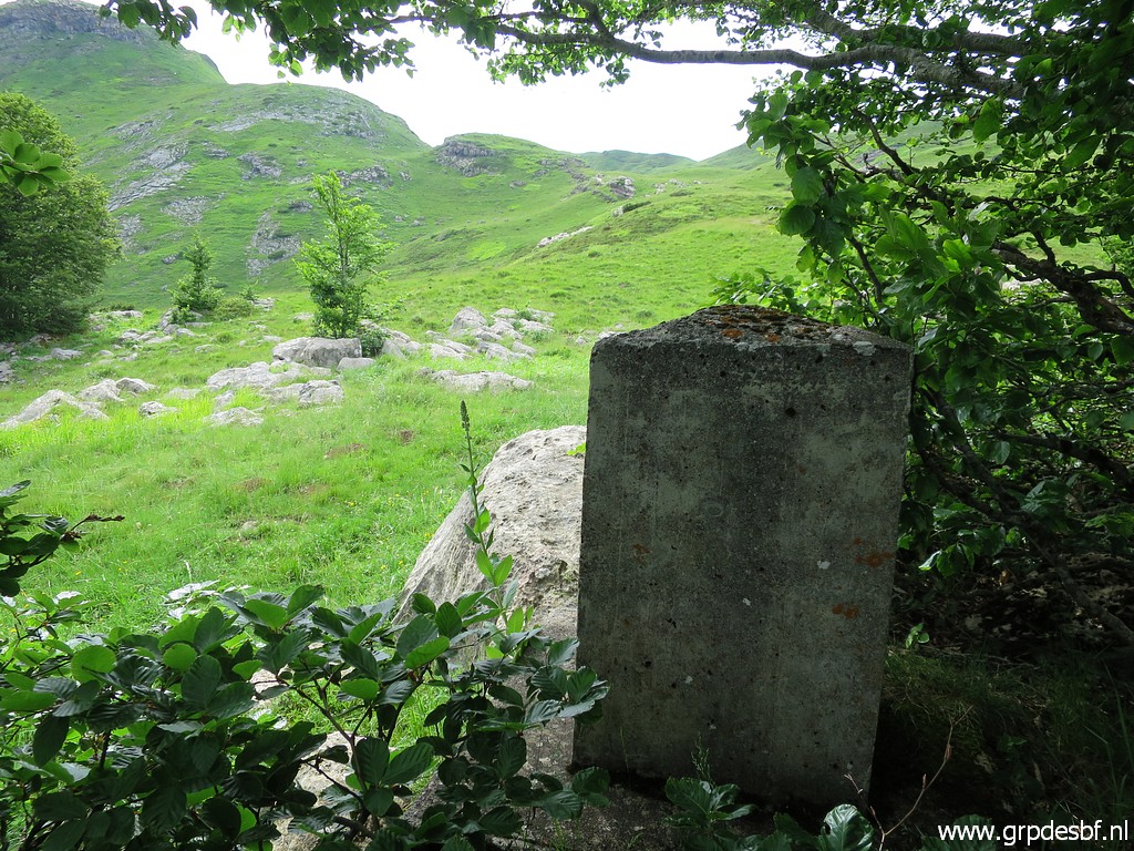
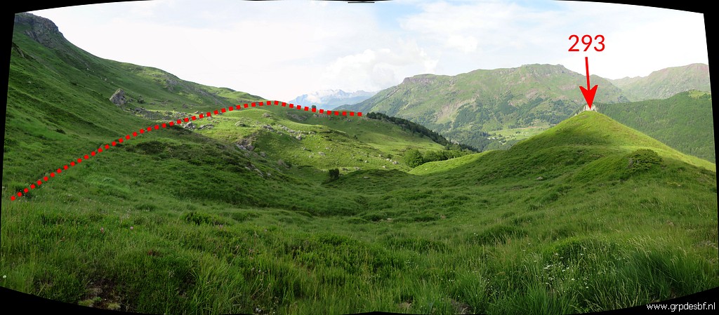
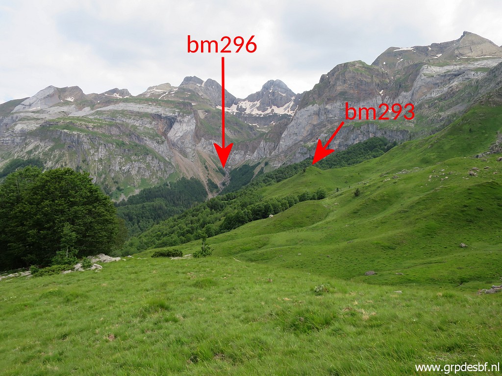 | Looking in the direction of bm293 which is on a small hilltop. (click photo to enlarge) |
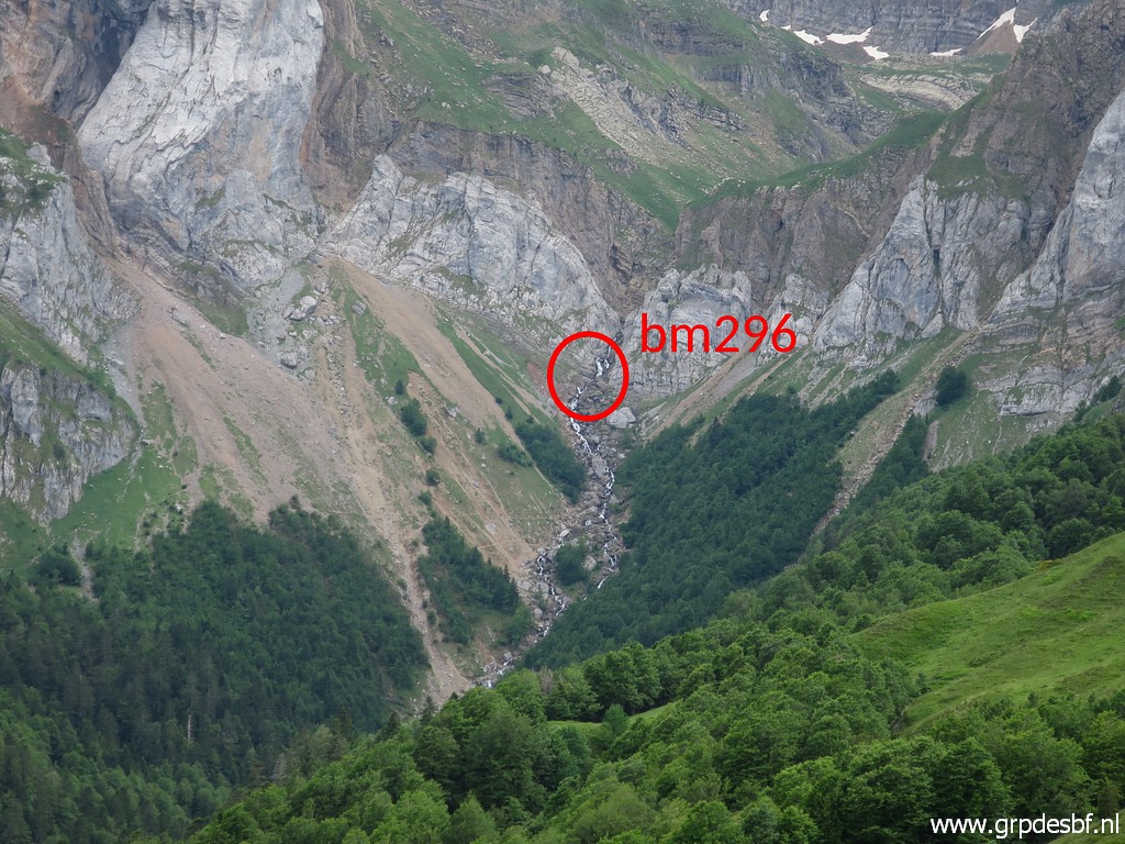 | Another zoom-in to bm296 (click photo to enlarge) |
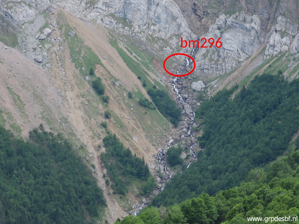 | Bm296 (click photo to enlarge) |
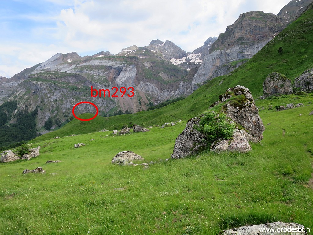 | It's already getting late but I decide to go on to do bm293-295 as well. Getting closer to bm293 (click photo to enlarge) |
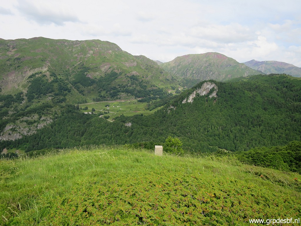
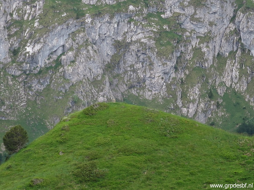 | Zoom-in to bm293 on its hilltop (click photo to enlarge) |
 | Approaching bm293 in a hence and forth detour from the main trail. (click photo to enlarge) |
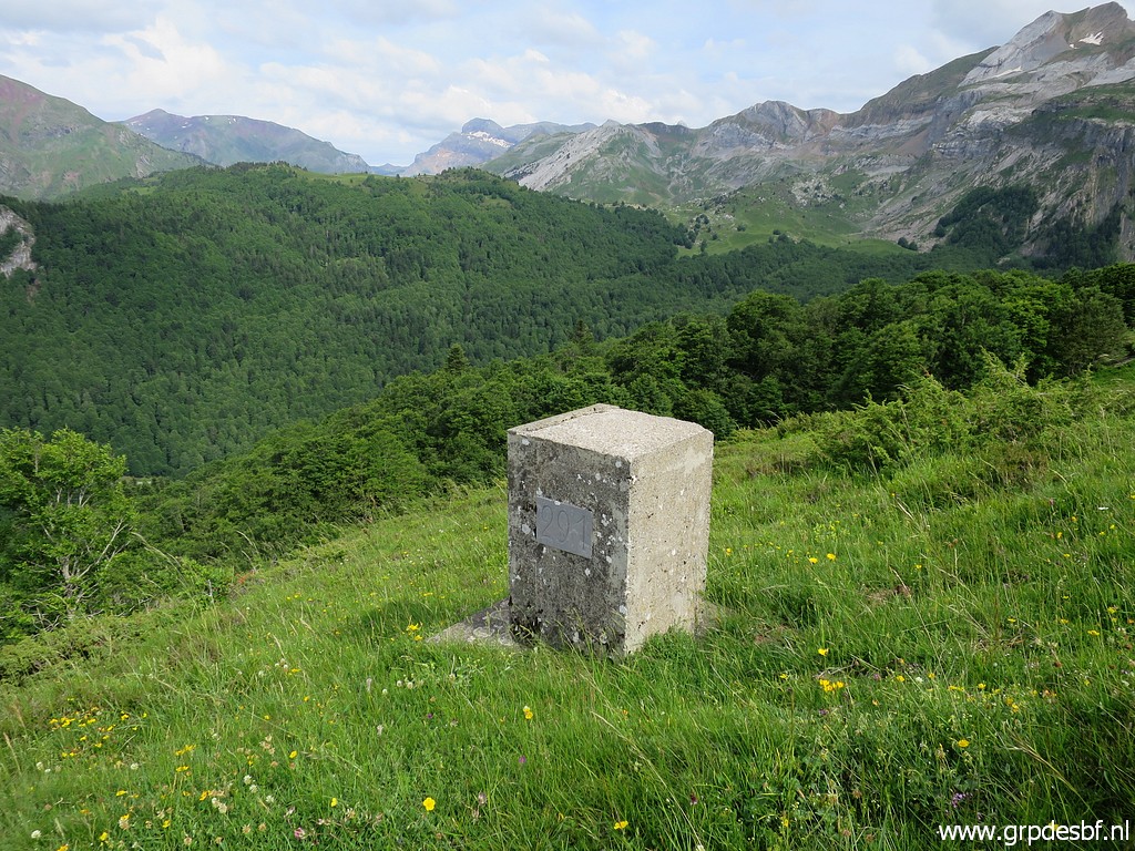
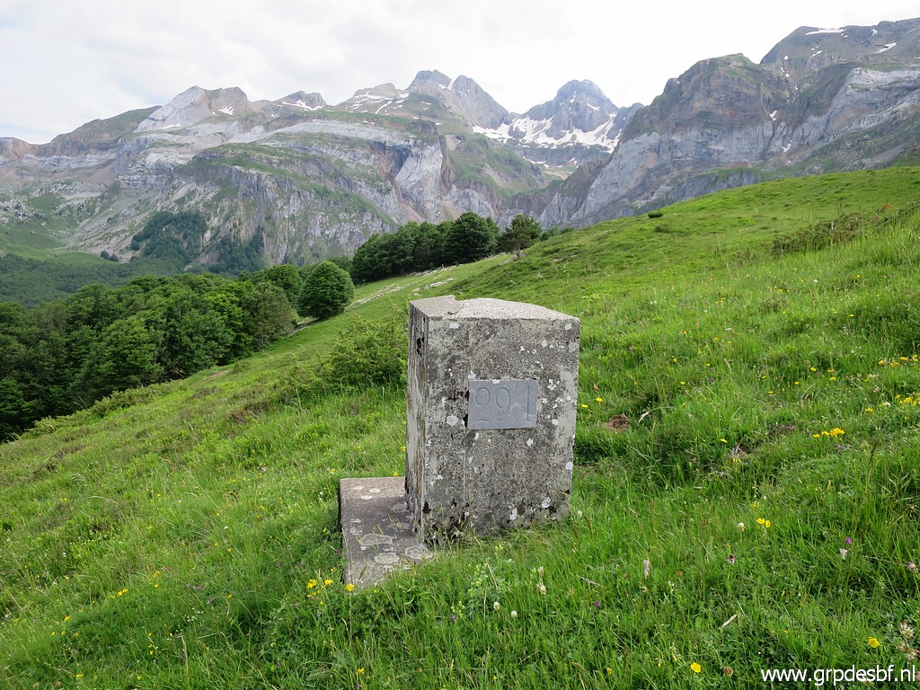
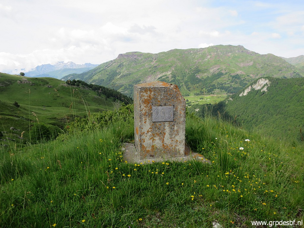 | Bm293 (click photo to enlarge) |
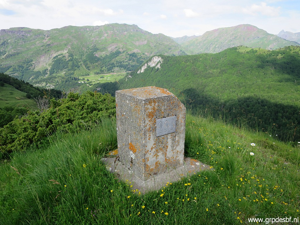 | Bm293 (click photo to enlarge) |
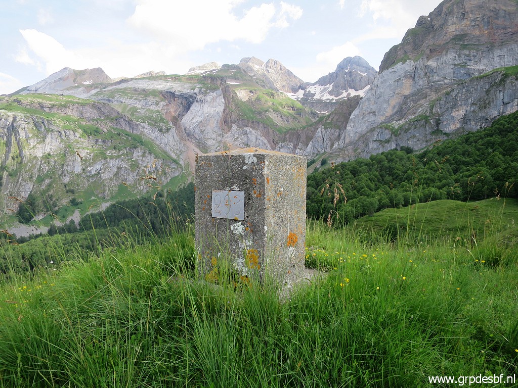 | Bm293 (click photo to enlarge) |
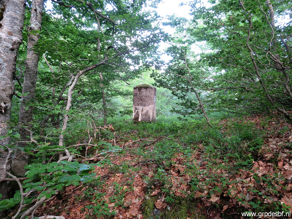 | I return to the main trail and continue on it and at the edge of the forest I have to enter it to find (using my gps) bm294 (click photo to enlarge) |
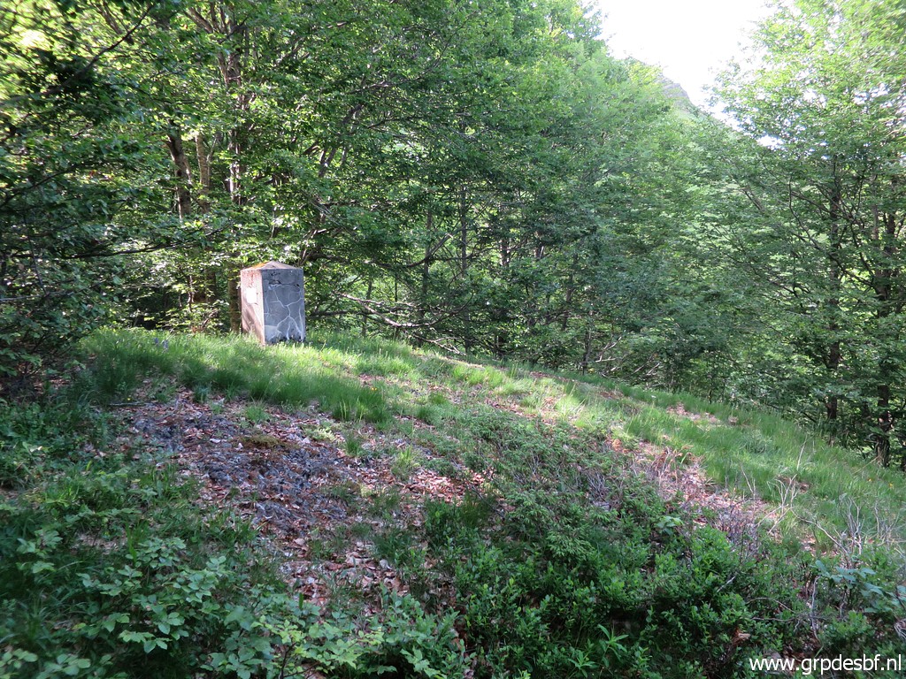
 | Bm294 (click photo to enlarge) |
 | Bm294 (click photo to enlarge) |
 | Bm294 (click photo to enlarge) |
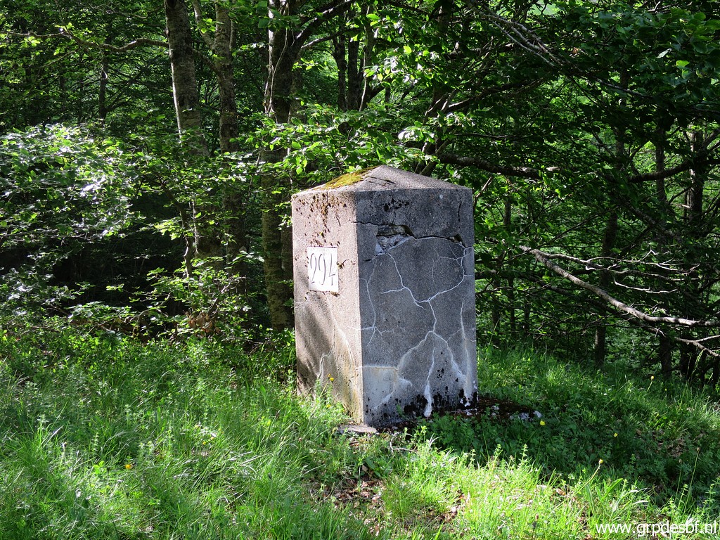 | Bm294 (click photo to enlarge) |
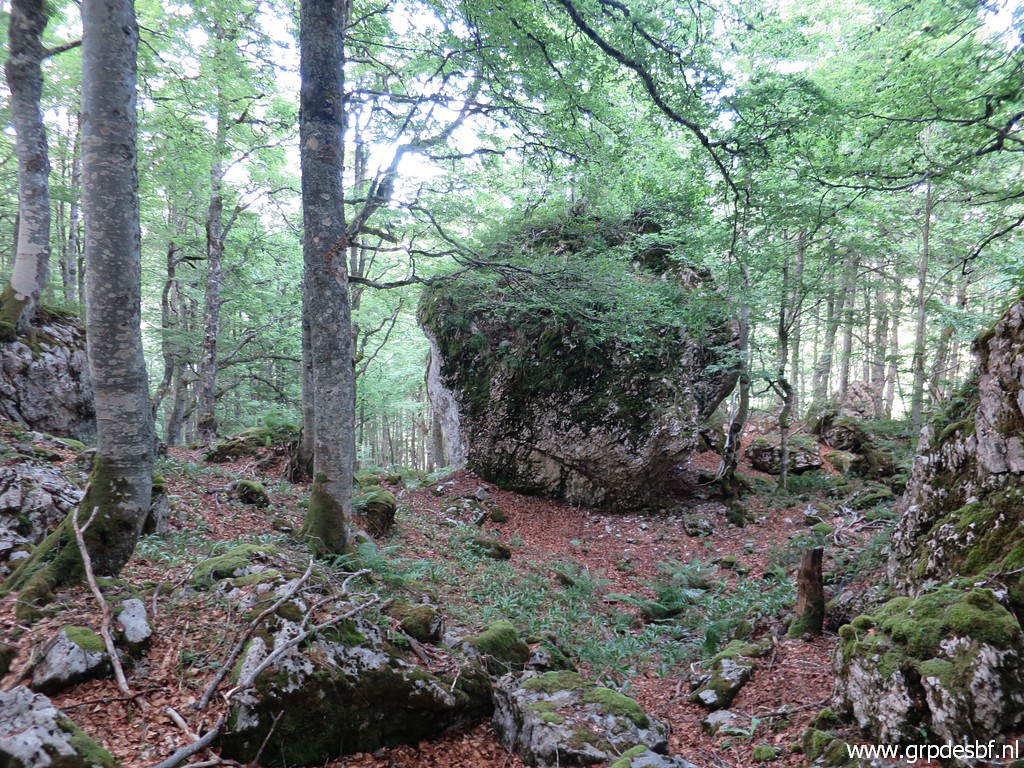
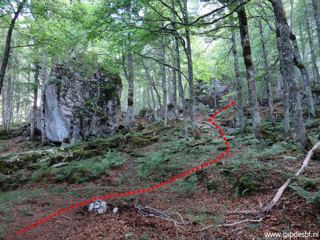 | I return to the trail and follow it until I see these two large boulders. I leave the trail and (click photo to enlarge) |
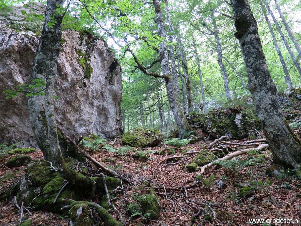 | pass the second boulder at its right side and head SW to the rockwall. (click photo to enlarge) |
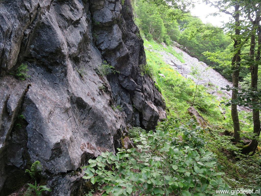 | It takes a while searching along the rockwall to find bm295, the gps being unprecise under that high rockwall. Look at the rockslide in the background, that will help you as a reference to find it. (click photo to enlarge) |
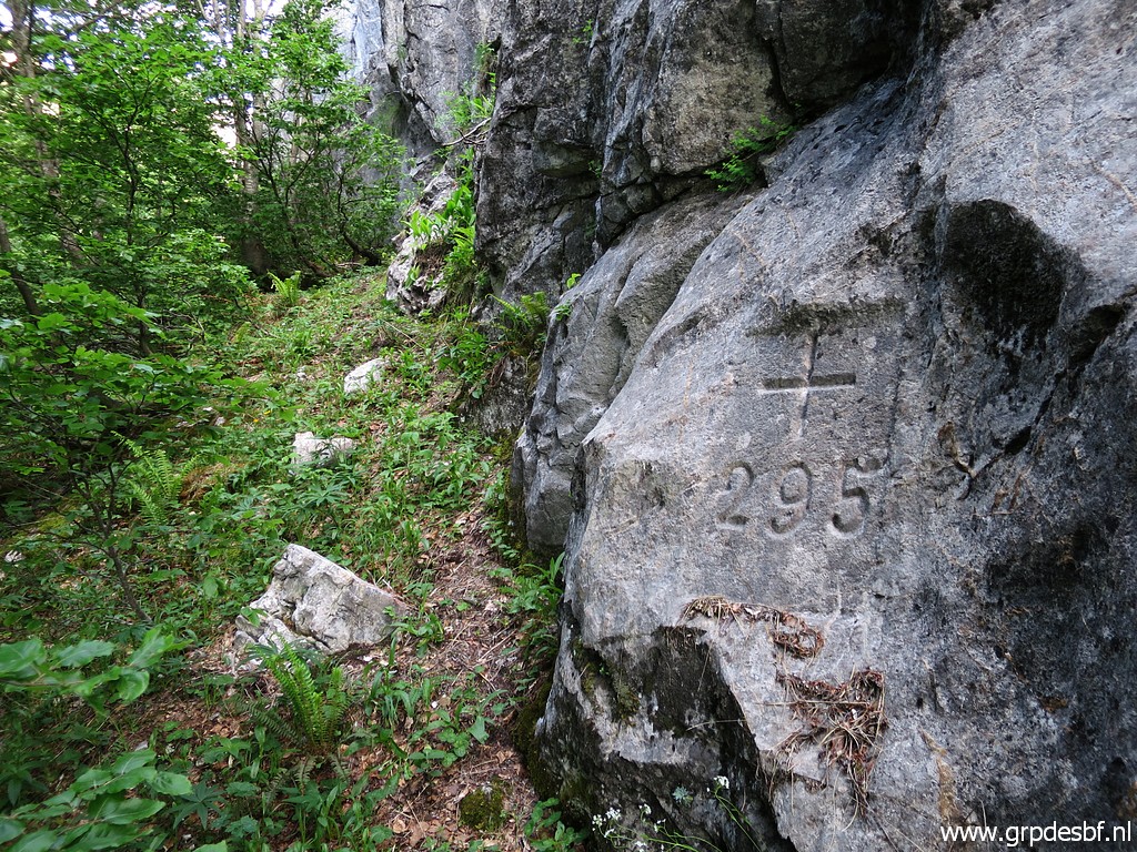 | Bm295 (click photo to enlarge) |
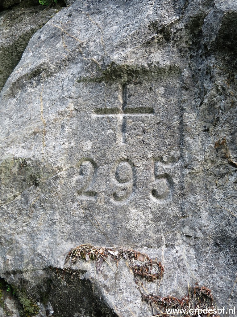 | Bm295 (click photo to enlarge) |
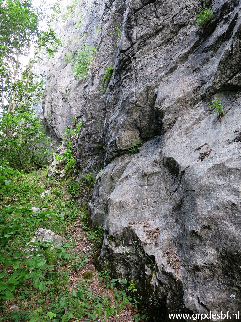 | Bm295 (click photo to enlarge) |
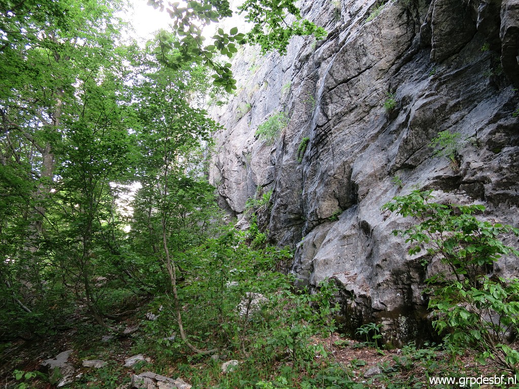 | Bm295, the last one of today. (click photo to enlarge) |
 | I return to the trail by passing the two boulders. (click photo to enlarge) |
 | And in the setting sun I walk back to the spot of bm292, passing the hilltop of bm293. (click photo to enlarge) |
 | The descent to the parking takes not long. I am tired but content. (click photo to enlarge) |