|
The
bordermarkers of the Pyrenees : all my trips
 |
|
| -
sunday 10 april
2022 - Redoing bm110-135 |
 |
 |
Summary:
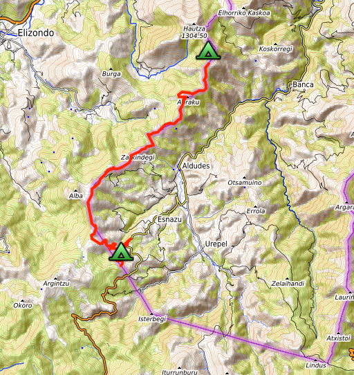
part of a series of 10 daytrips in april 2022 in the Basque country,
mainly redoing bm085 to 197. This is day 3. Today: second day of three days of backpacking along bm091 to 144. Today from bm110 to bm135. Weather: splendid |
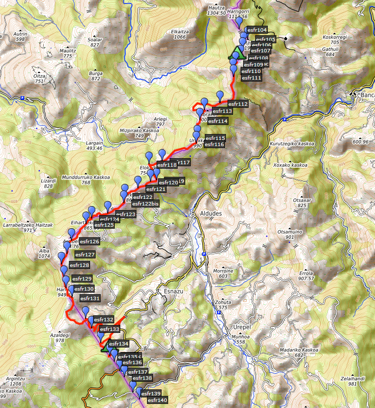 track-20220410.kml
(click to open this trip in Google Earth or copy link to Google Maps; click right on this link to download gpx-version). The gps-track has not been manually corrected which explains the inaccuracy and misalignment at some points. For cartographic backgrounds: see the cartography-page Gps-waypoints of all bordermarkers (most recent version): kml: esfr-bordermarkers-all-waypoints.kml gpx: esfr-bordermarkers-all-waypoints.gpx (with elevation added by gpsvisualizer.com) |
|
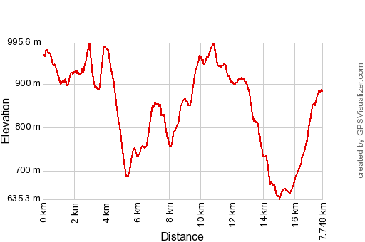 |
According to Garmin
Basecamp (uncorrected track with elevation added by Gpsvisualizer.com): Distance: 17,8km Max-height: 996m Min-height: 635m Elevation: +1172m -1255m Total elevation: 2427m Start 9:14 Finish 18:25 Total time: 9:11 |
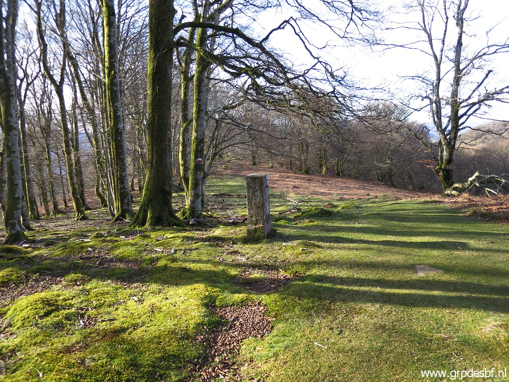
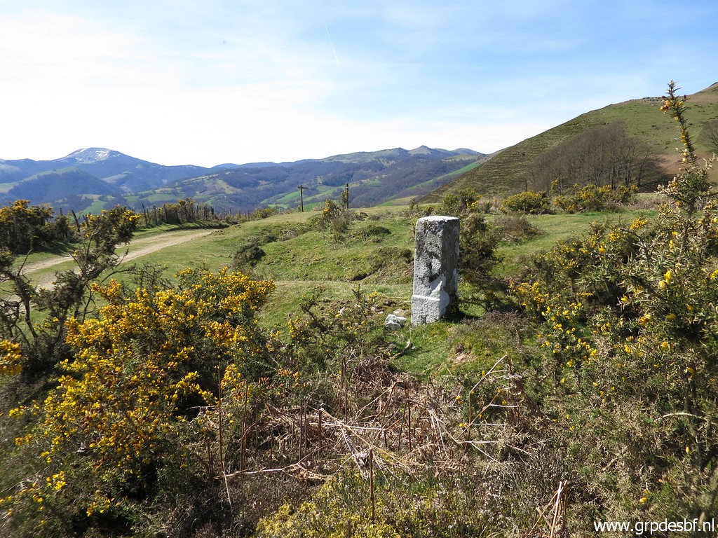
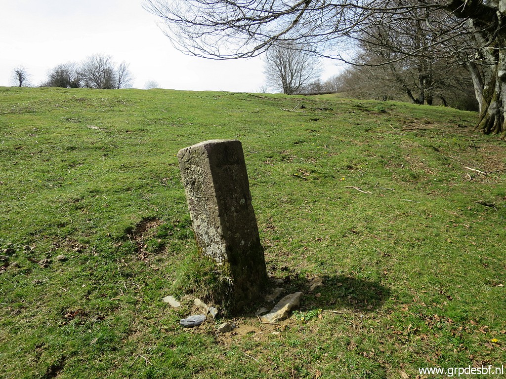
 | It has been a cold night. I have packed my tent and continue to bm110, already visible. It's a beautiful morning. (click photo to enlarge) |
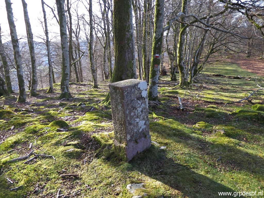
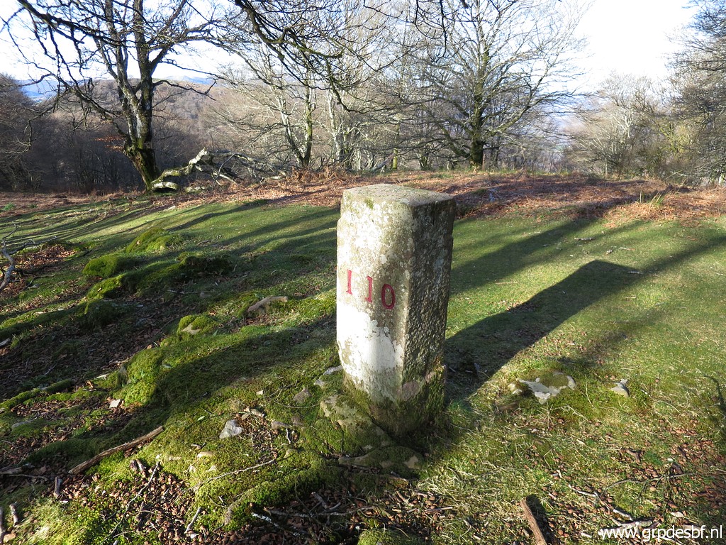
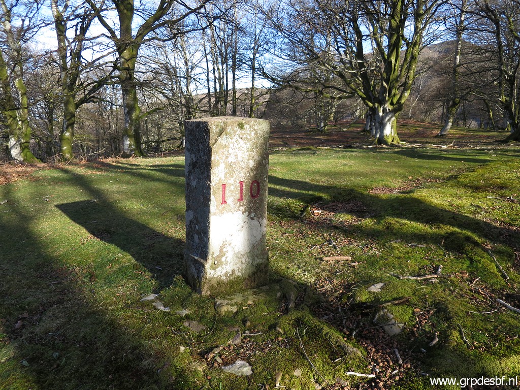
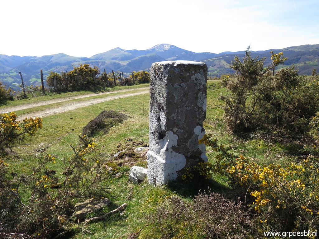
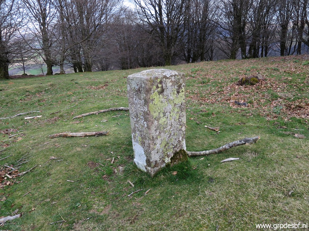
 | Bm110 (click photo to enlarge) |
 | Bm110 (click photo to enlarge) |
 | Bm110 (click photo to enlarge) |
 | Bm110 (click photo to enlarge) |
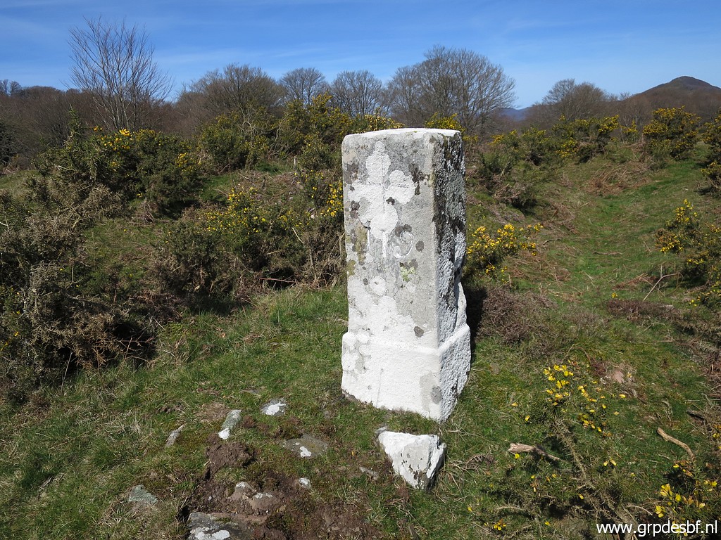
 | Further along the trail: bm111. (click photo to enlarge) |
 | Bm111 (click photo to enlarge) |
 | Bm111 (click photo to enlarge) |
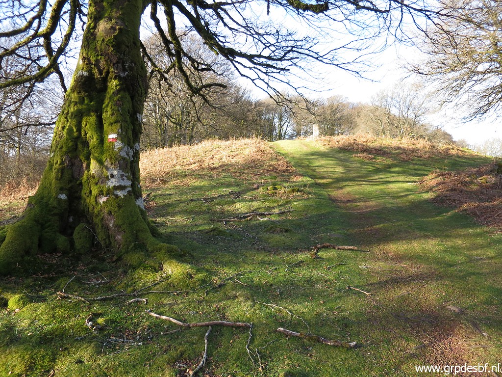
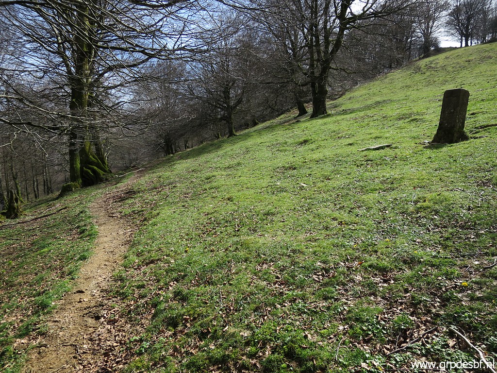
 | Still following a red-white trail and an orange one. (click photo to enlarge) |
 |
The orange trail is the 'Sentier des Contrabandiers' I found this link to this trail and the stage along the border on this page and this page. I show here the relevant part for today and for yesterday. Much of this trail coincides with my route of today and yesterday. |
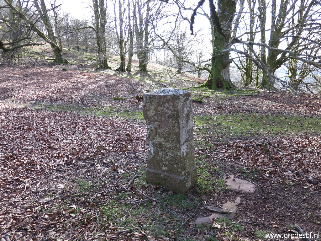
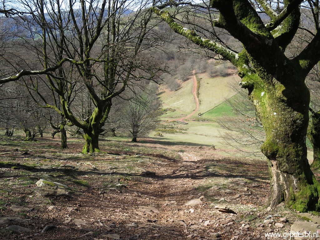
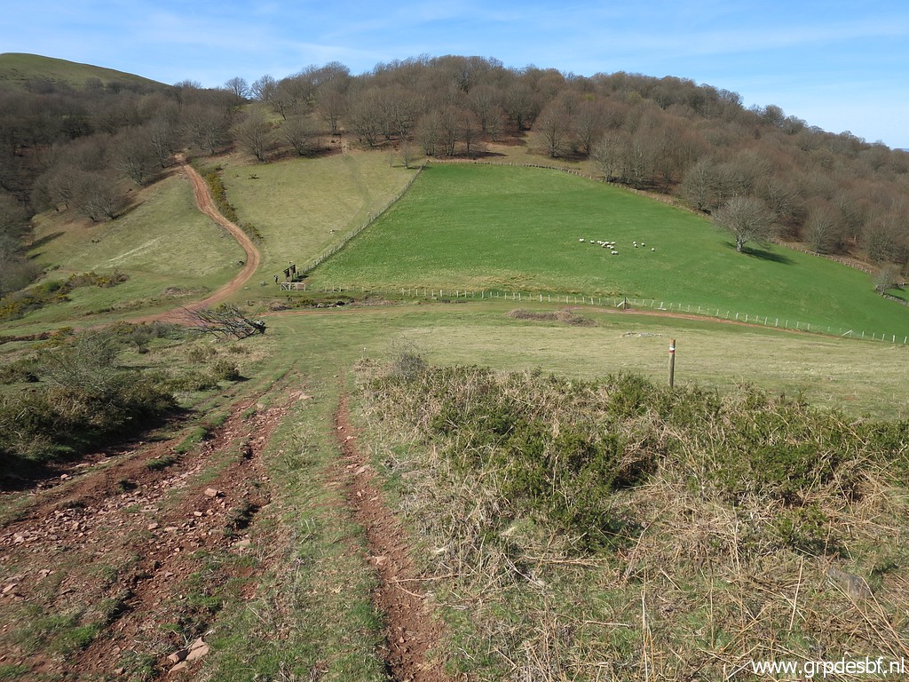
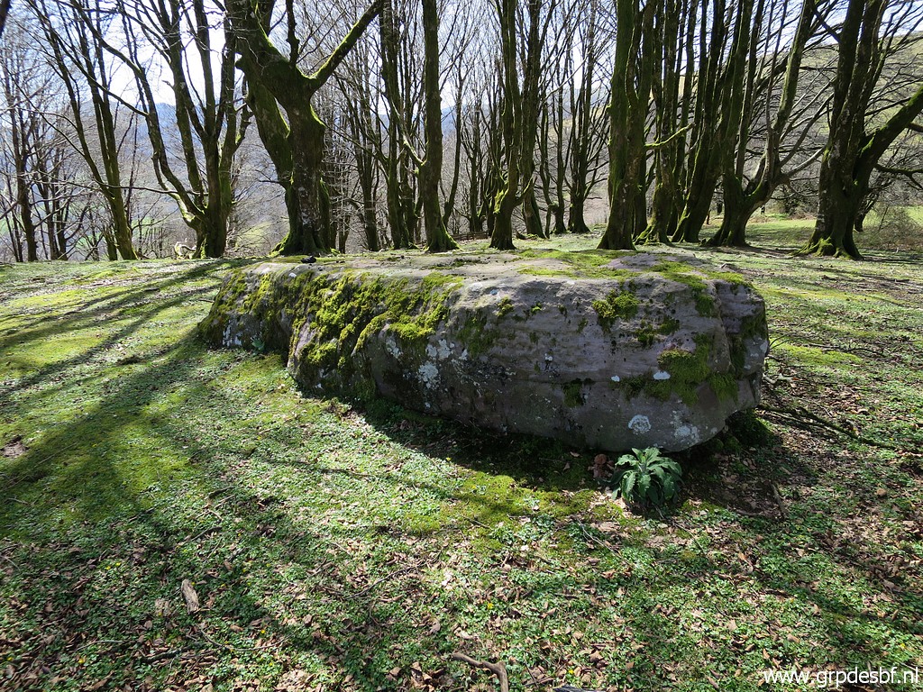
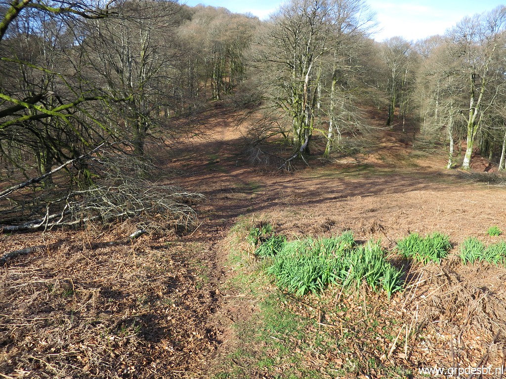 | This
is one of my favourite parts of the Pyrenees: the quiet and lovely
beach forests between approximately bm109 and 125 in springtime. (click photo to enlarge) |
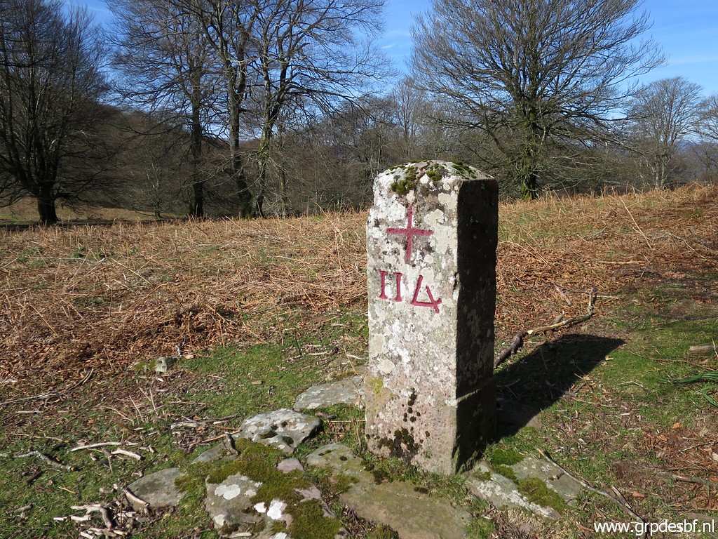
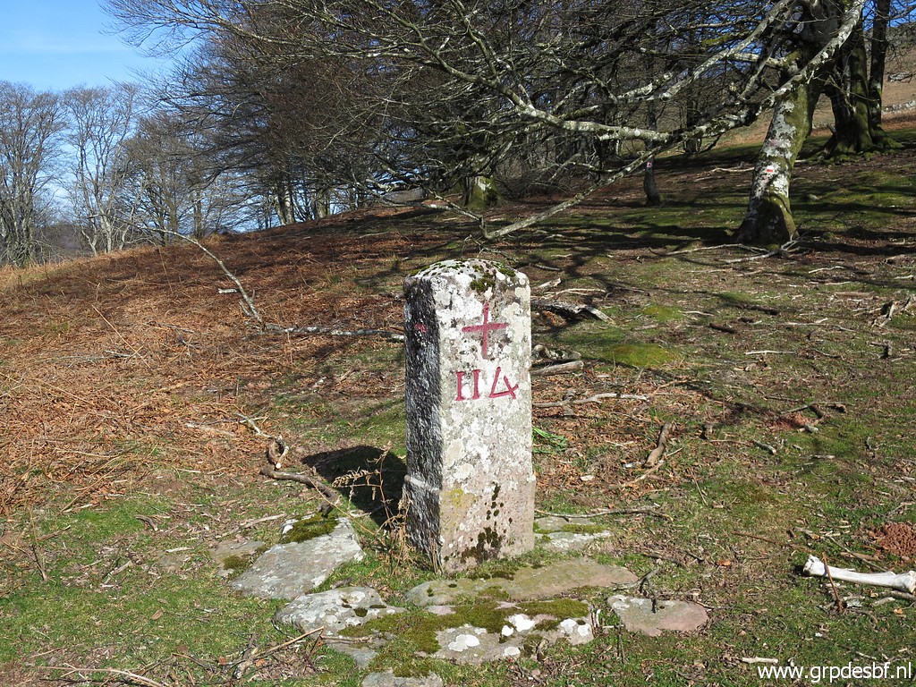
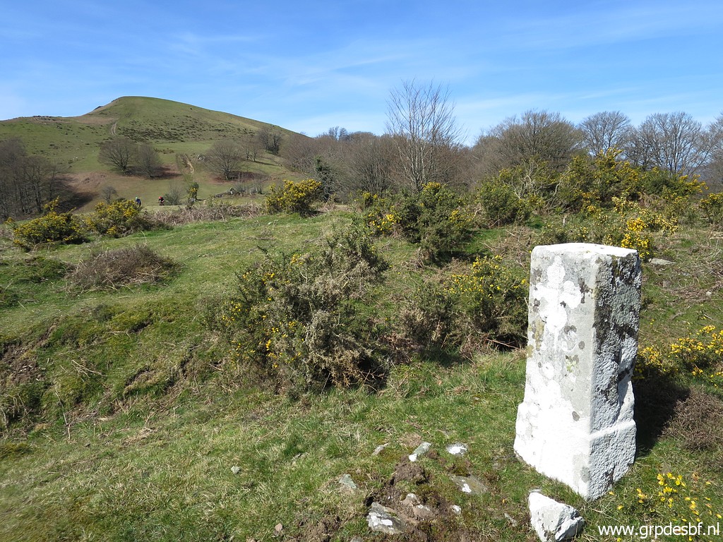
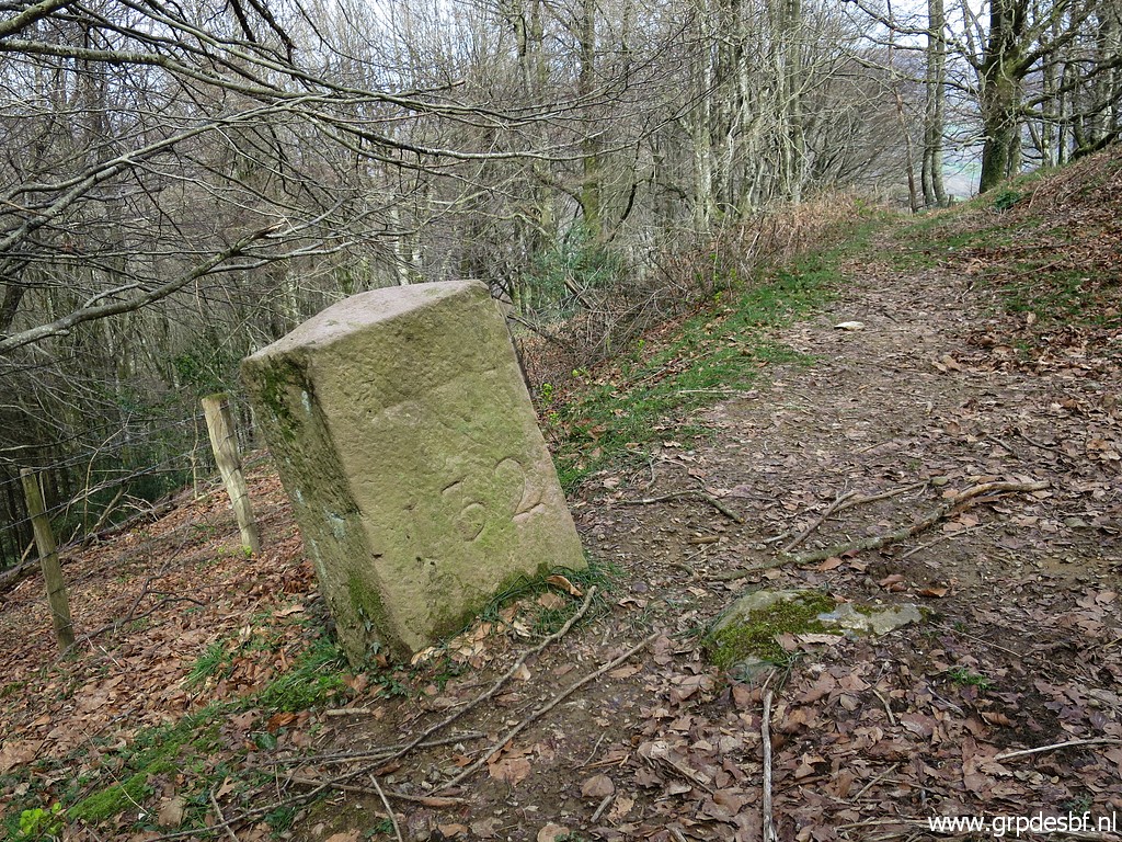
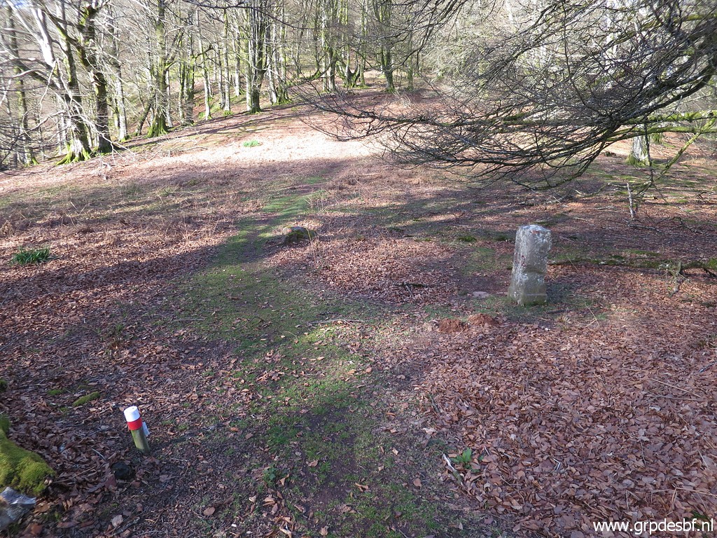 | Arriving at bm112. (click photo to enlarge) |
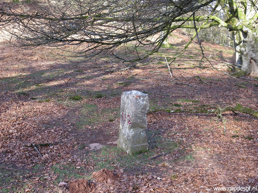 | Bm112 (click photo to enlarge) |
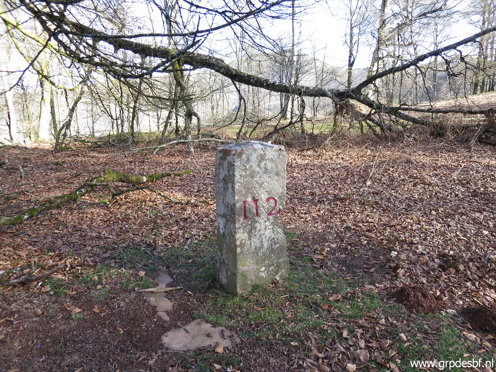 | Bm112 (click photo to enlarge) |
 | Bm112 (click photo to enlarge) |
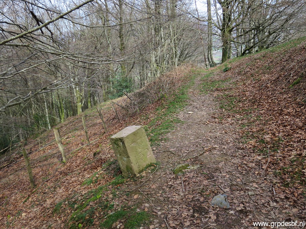
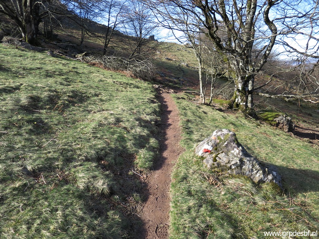 | The trail clims steadily through the forest to a ridge (click photo to enlarge) |
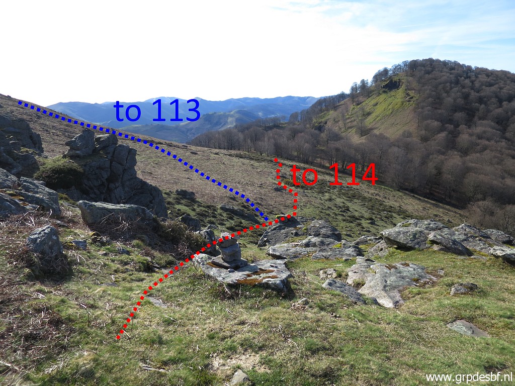 | with this view ahead. The main GRPdesBF-route descends to bm114. Bm113 needs a detour on a variant. (click photo to enlarge) |
 | Bm113 (click photo to enlarge) |
 | Bm113 (click photo to enlarge) |
 | Bm113 (click photo to enlarge) |
 | Bm113 (click photo to enlarge) |
 | Then descending directly to bm114. (click photo to enlarge) |
 | Bm114 (click photo to enlarge) |
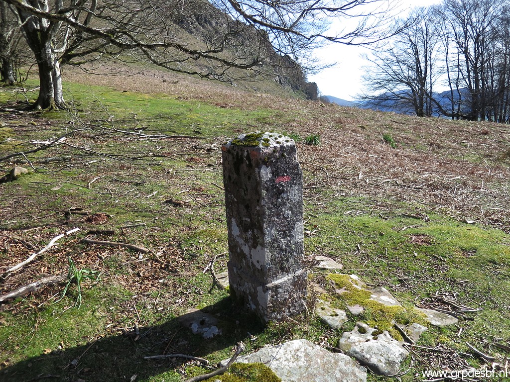 | Bm114 (click photo to enlarge) |
 | Then following the trail uphill (click photo to enlarge) |
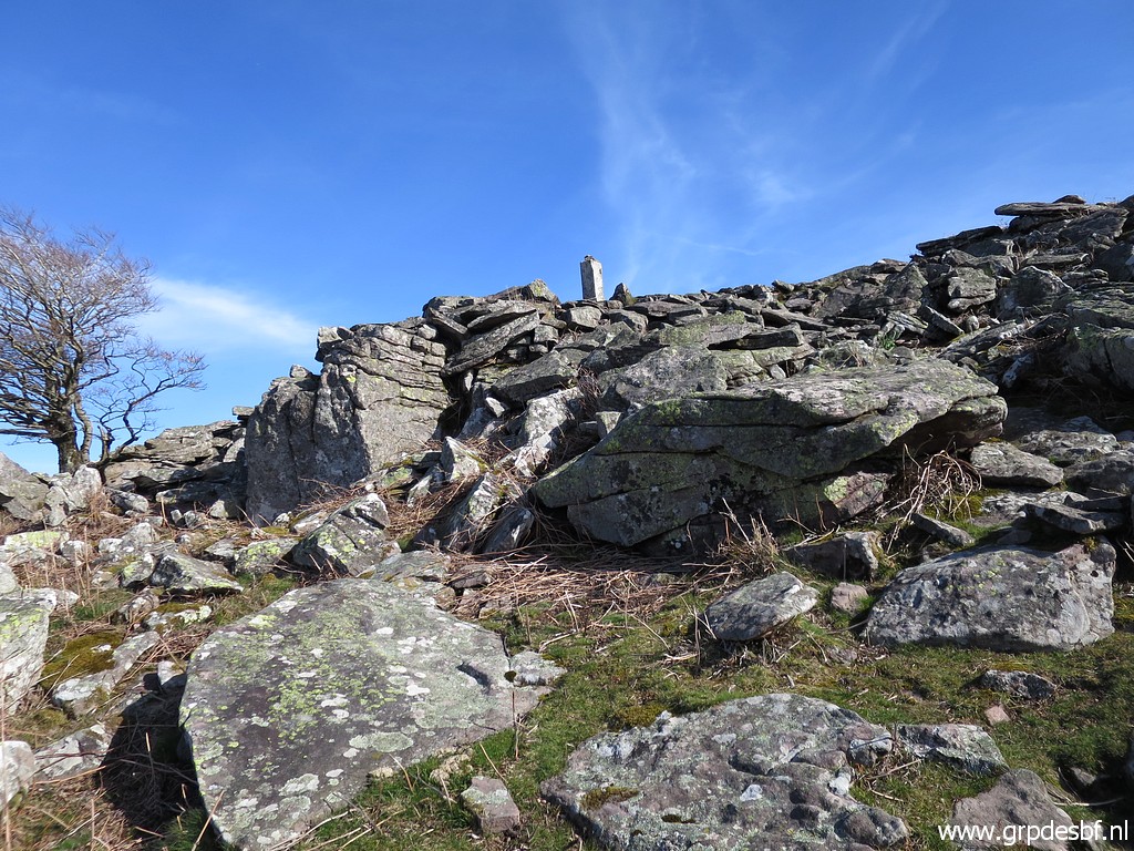
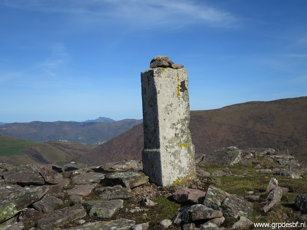
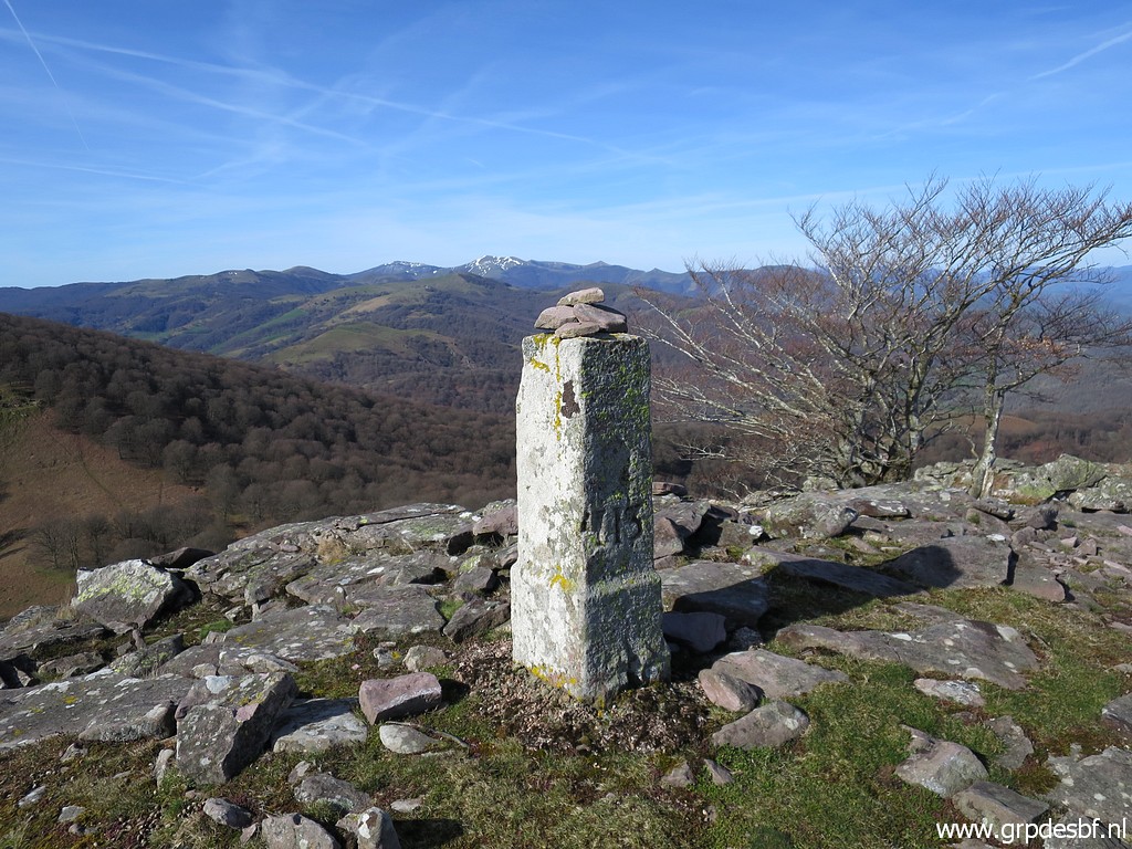
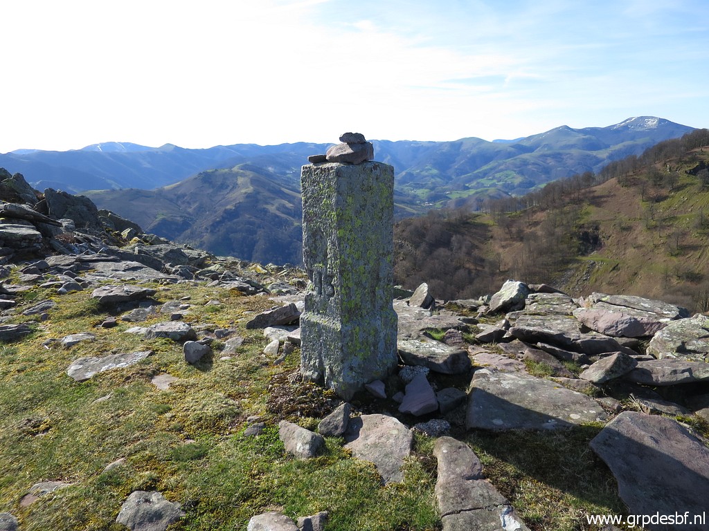
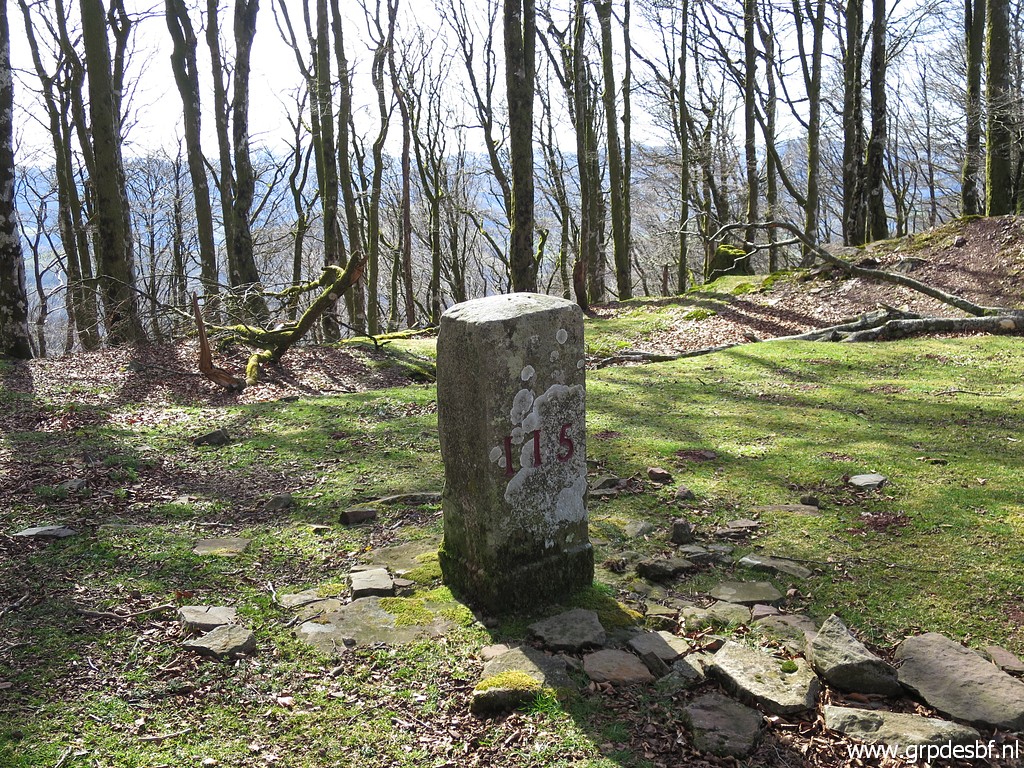 | and arriving at bm115. (click photo to enlarge) |
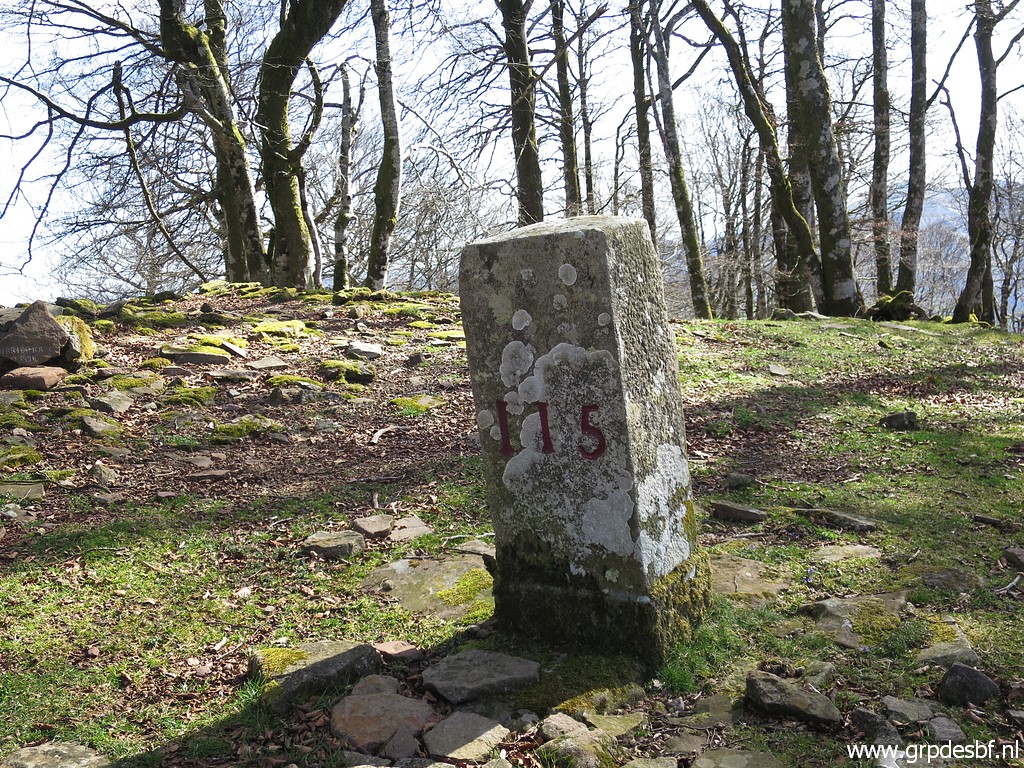 | Bm115 (click photo to enlarge) |
 | Bm115 (click photo to enlarge) |
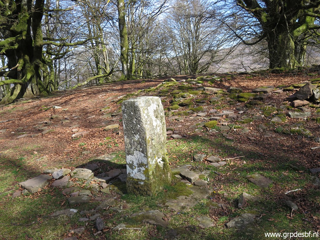
 | Continuing on the ridge to bm116. (click photo to enlarge) |
 | Bm116 (click photo to enlarge) |
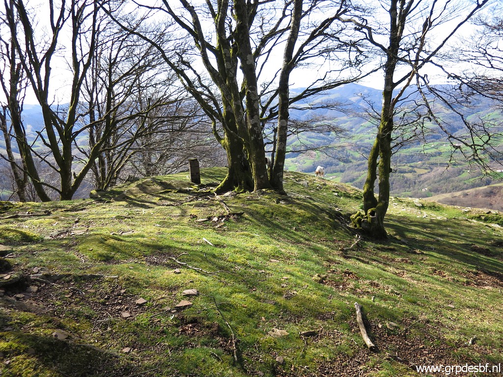
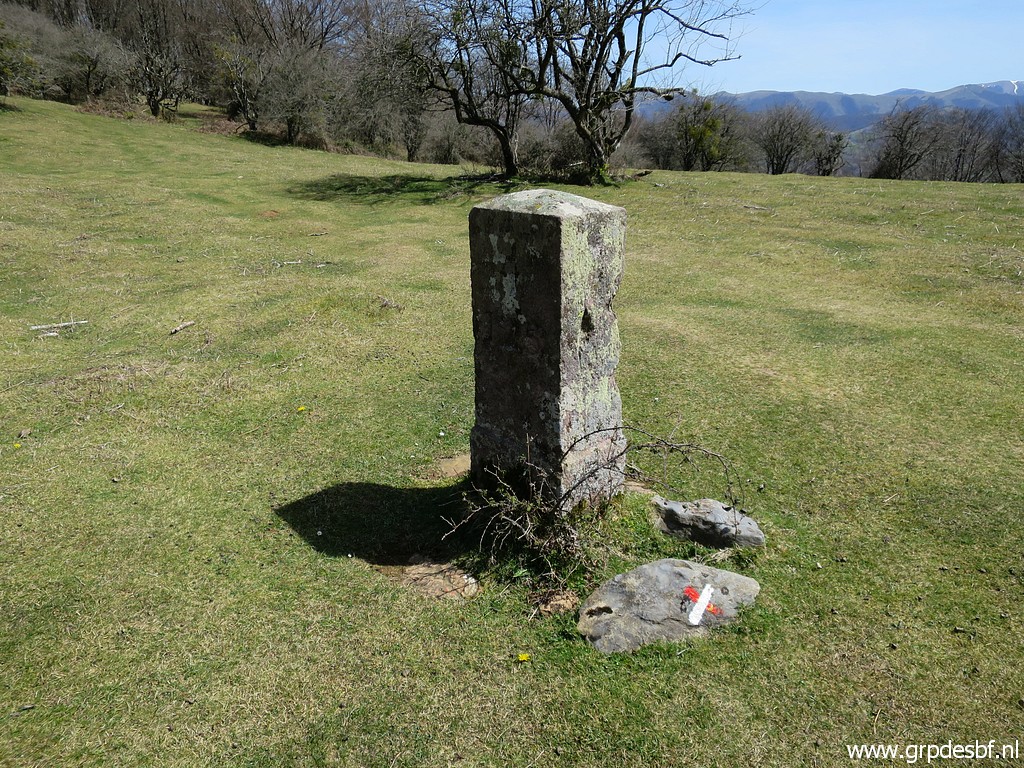
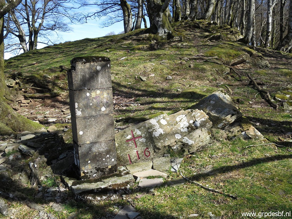 | Bm116: a cross and a pillar. (click photo to enlarge) |
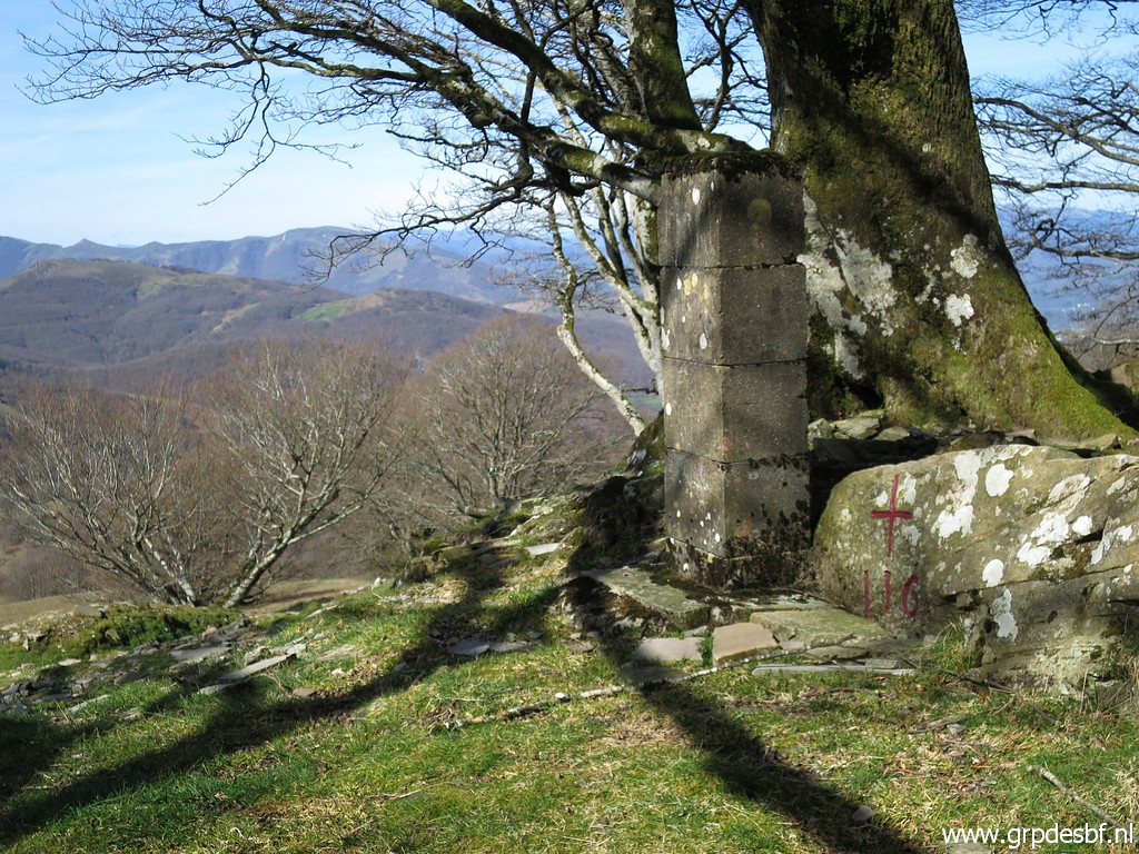 | Bm116 (click photo to enlarge) |
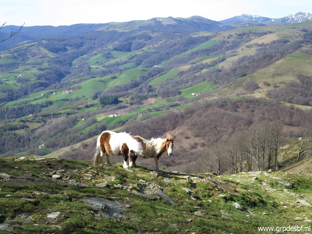 | Lovely view over the hills. (click photo to enlarge) |
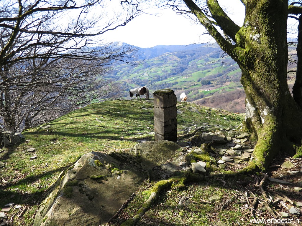
 | Then descending (click photo to enlarge) |
 | to a pass (click photo to enlarge) |
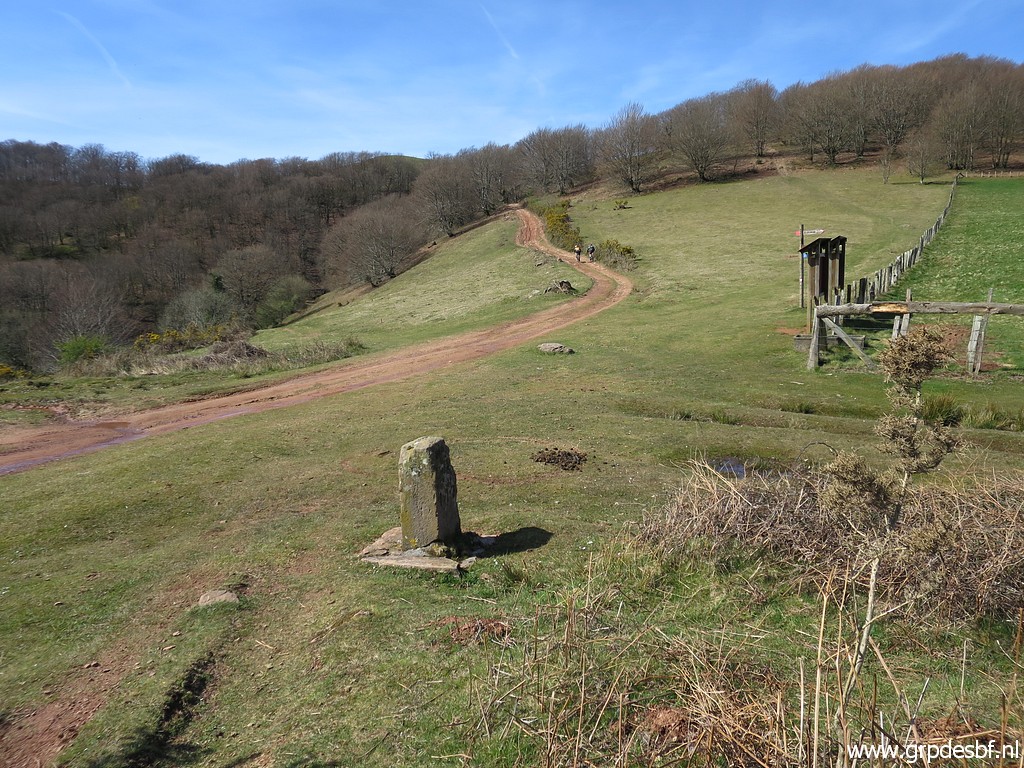 | with bm117 (click photo to enlarge) |
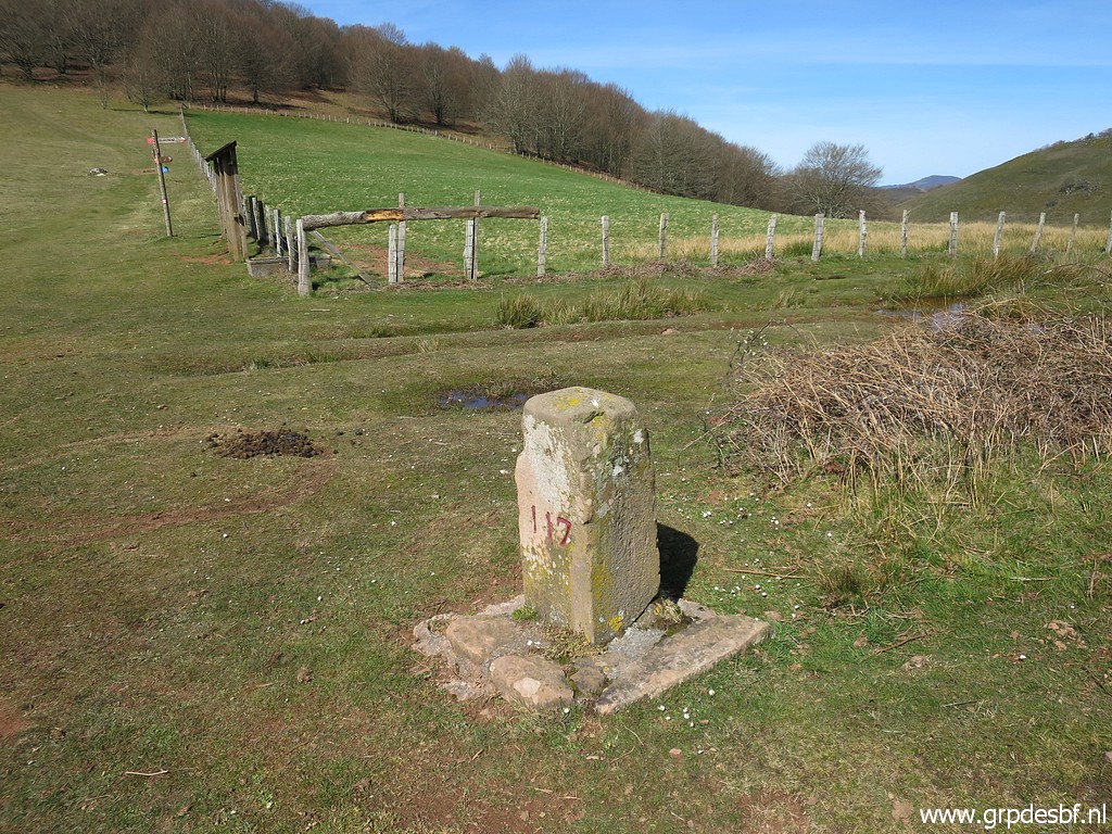 | Bm117 (click photo to enlarge) |
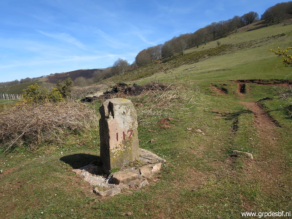 | Bm117 (click photo to enlarge) |
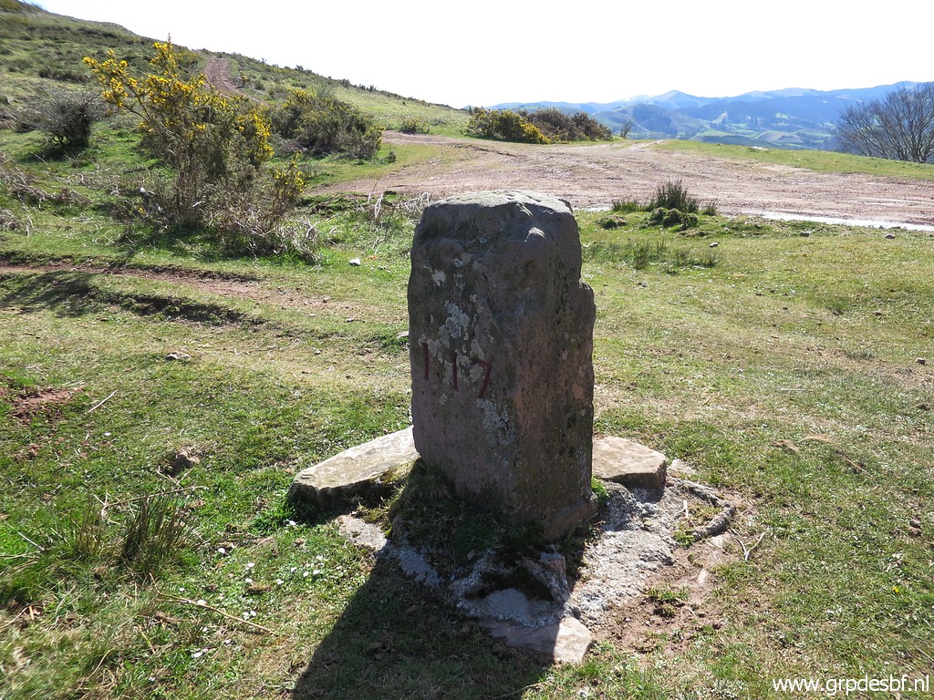 | Bm117 (click photo to enlarge) |
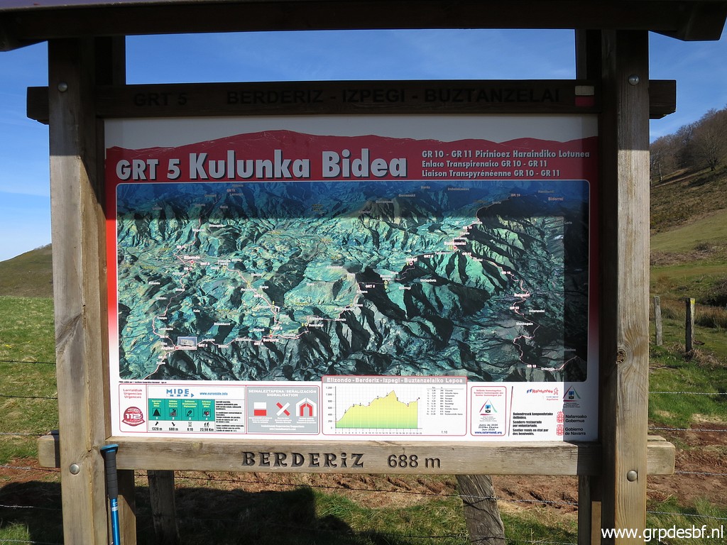
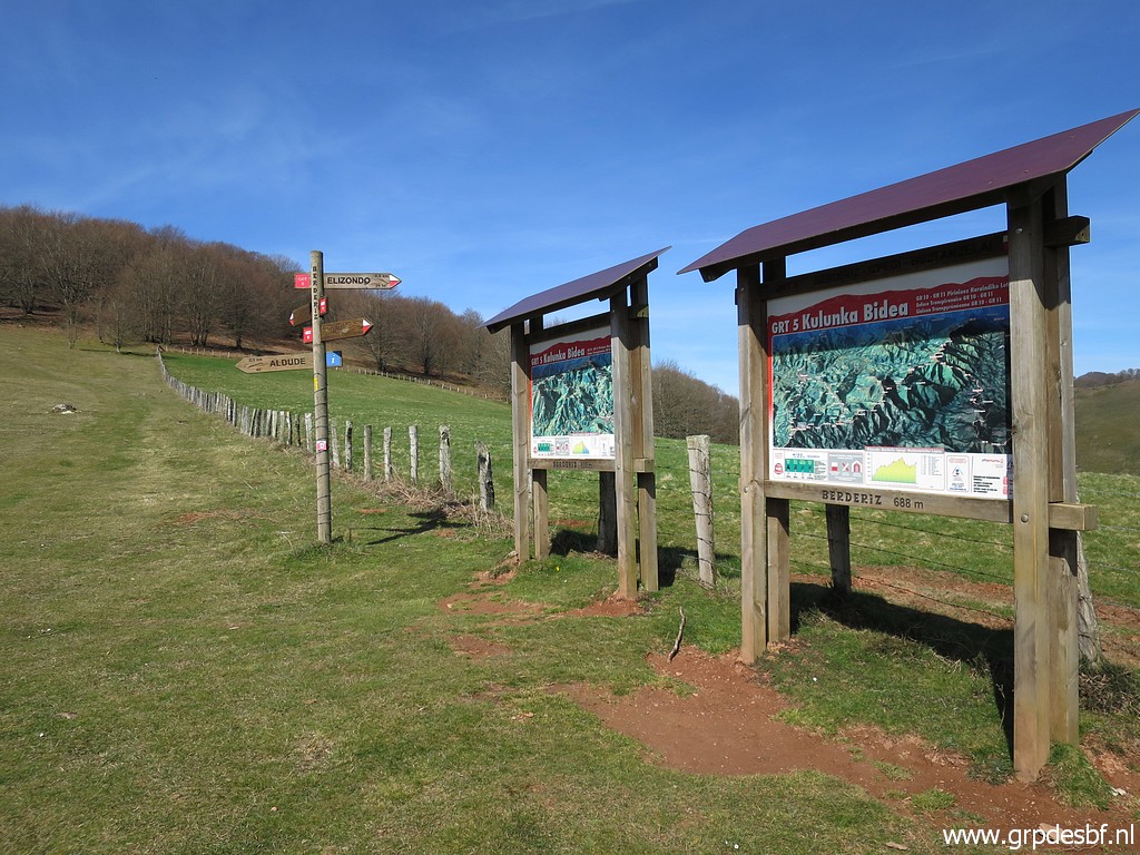 | An information panel (click photo to enlarge) |
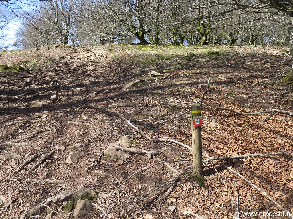
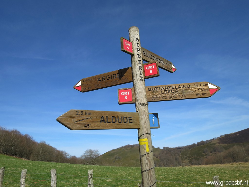 | and these waysigns reveal that the red-white trail (click photo to enlarge) |
 | is the GRT5. (click photo to enlarge) |
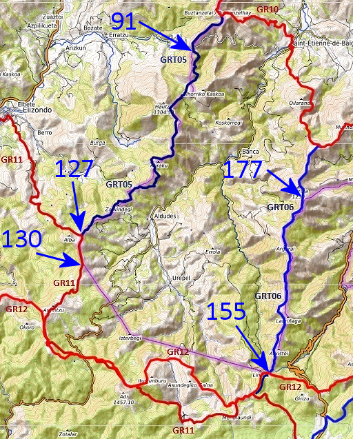 |
And much later - back at home, a little googling makes things much clearer. This annotated picture is derived from this webpage. The GRT-trails are 'Grandes Randonnées Transfrontalieres', connecting the French GR10 with the Spanish GR11. In this case they help us to navigate from bm091 to 130 and from bm155 to 177. Another interesting feature: from bm130 to 155, the GR11 and GR12 could serve as an alternative for my main GRPdesBF-route. The bordermarkers between bm130 and 155 are covered by a variant. |
 | From bm117, first along the fence and then continuing on the trail uphill with various waymarks (click photo to enlarge) |
 | I approach this bend of the track but (click photo to enlarge) |
 | for bm118 I have to go straight ahead. (click photo to enlarge) |
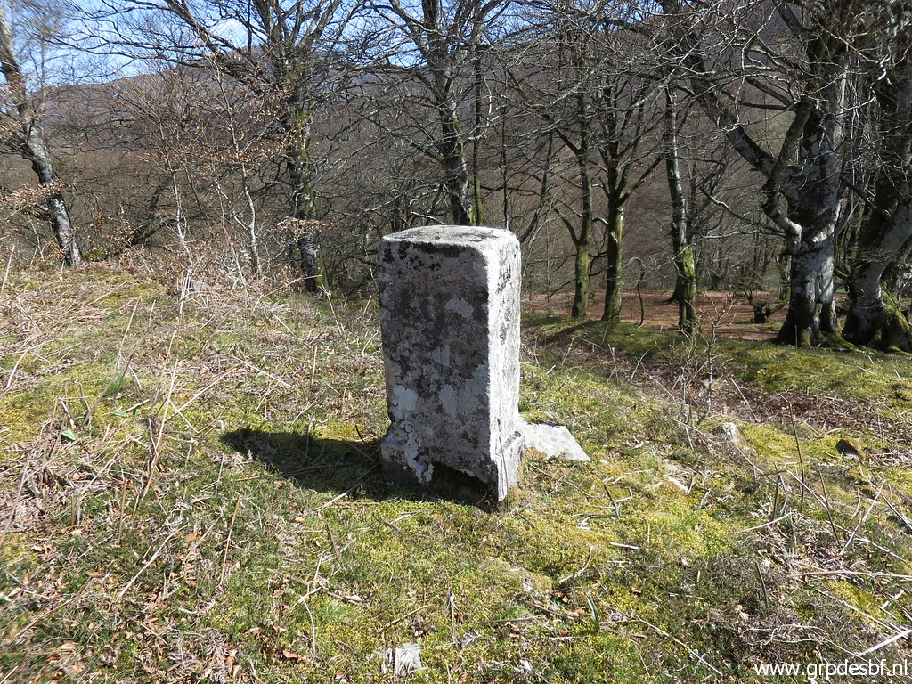 | Bm118 (click photo to enlarge) |
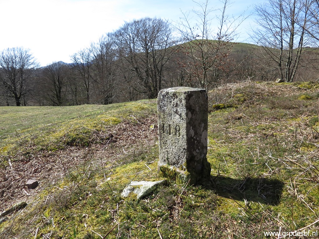 | Bm118 (click photo to enlarge) |
 | Bm118 (click photo to enlarge) |
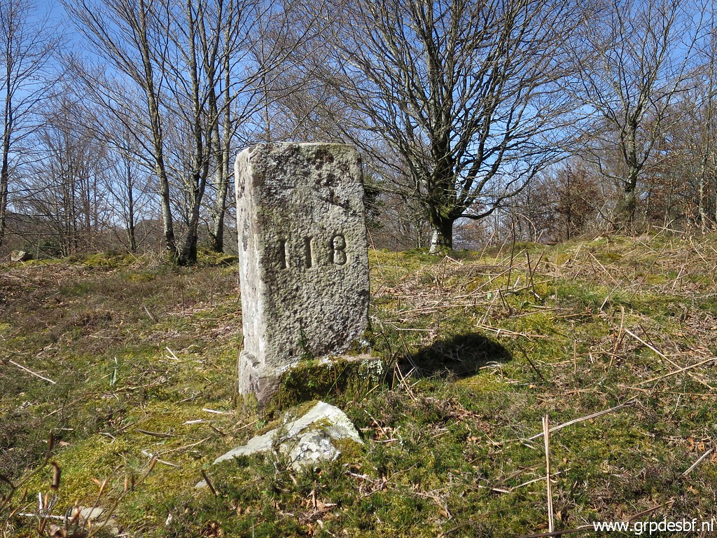 | Bm118 (click photo to enlarge) |
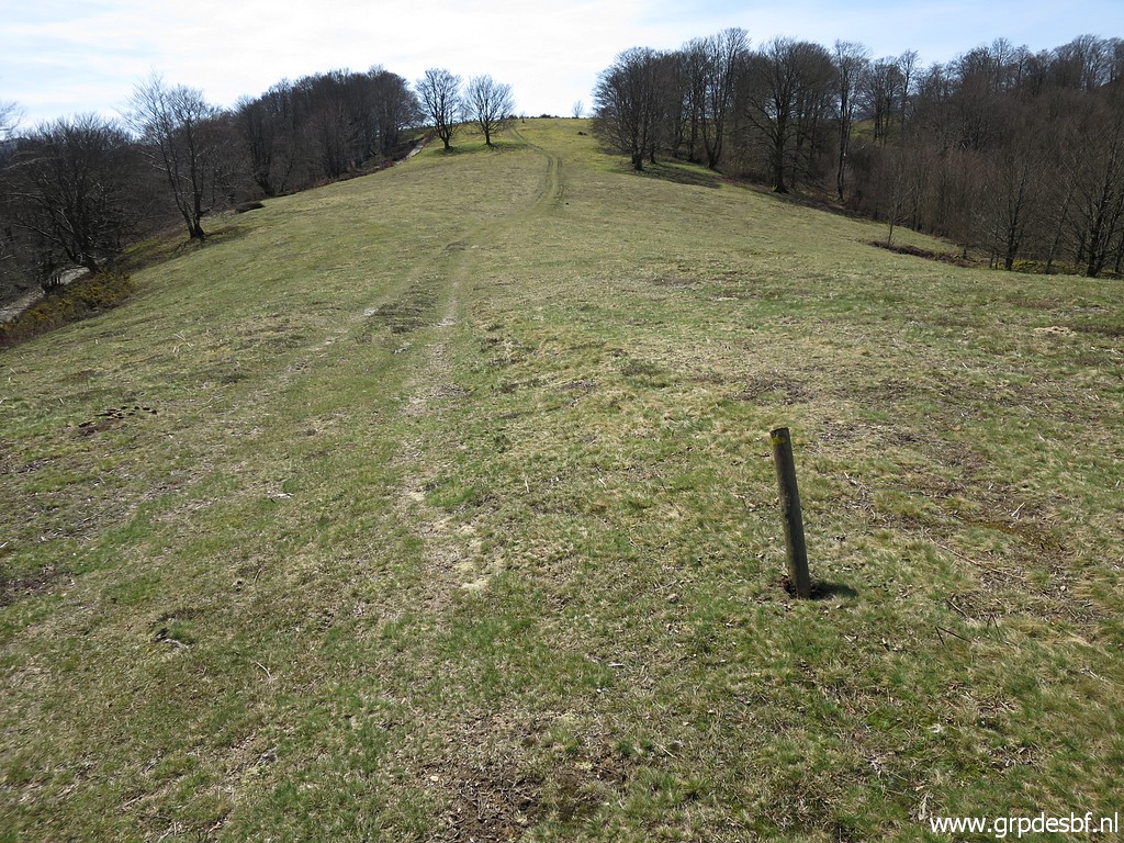 | Back at the trail (click photo to enlarge) |
 | and arriving at bm119. (click photo to enlarge) |
 | Bm119 (click photo to enlarge) |
 | Bm119 (click photo to enlarge) |
 | Bm119 (click photo to enlarge) |
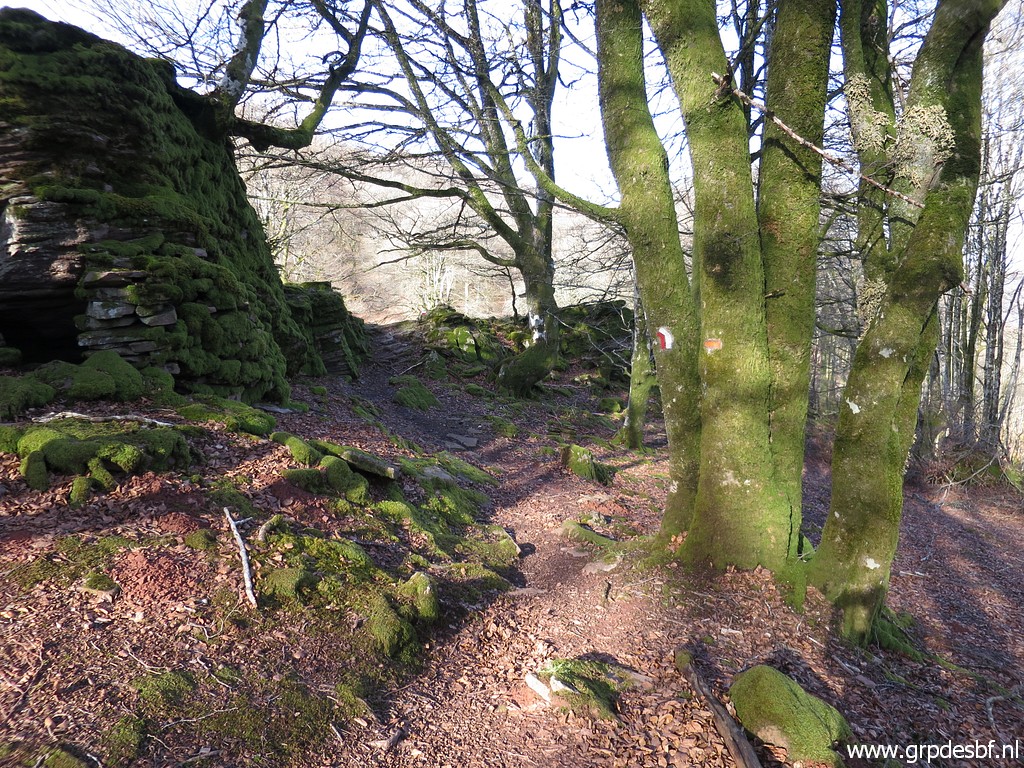
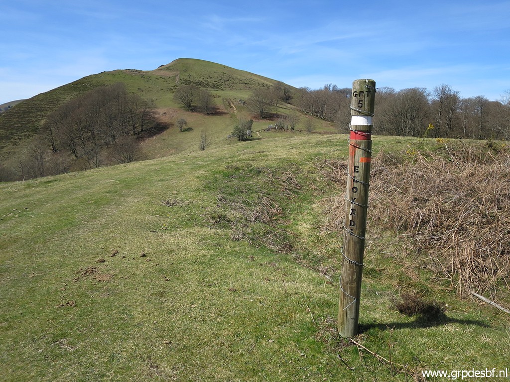 | Still on the GRT5-trail (click photo to enlarge) |
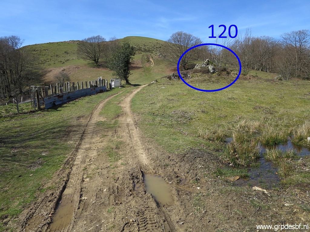 | and a bit further is bm120 (click photo to enlarge) |
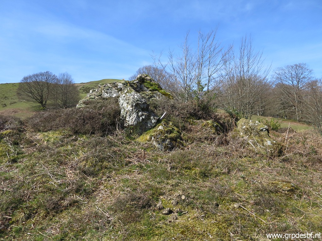 | engraved at this rock. (click photo to enlarge) |
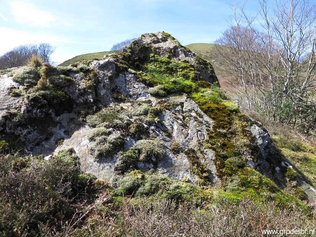 | Bm120 (click photo to enlarge) |
 | Bm120 (click photo to enlarge) |
 | Bm120 (click photo to enlarge) |
 | Bm120 (click photo to enlarge) |
 | Continuing on the red-white trail (click photo to enlarge) |
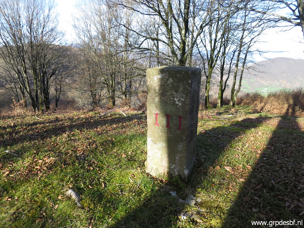
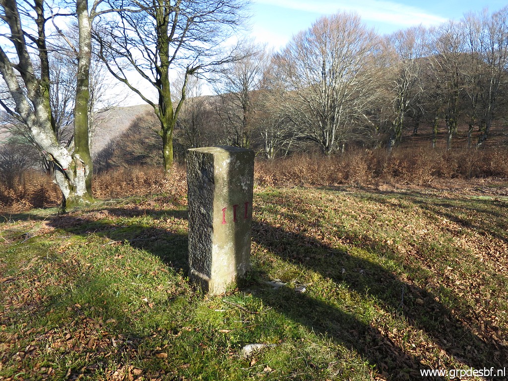
 | to bm121. (click photo to enlarge) |
 | Bm121 (click photo to enlarge) |
 | Bm121 (click photo to enlarge) |
 | Bm121 (click photo to enlarge) |
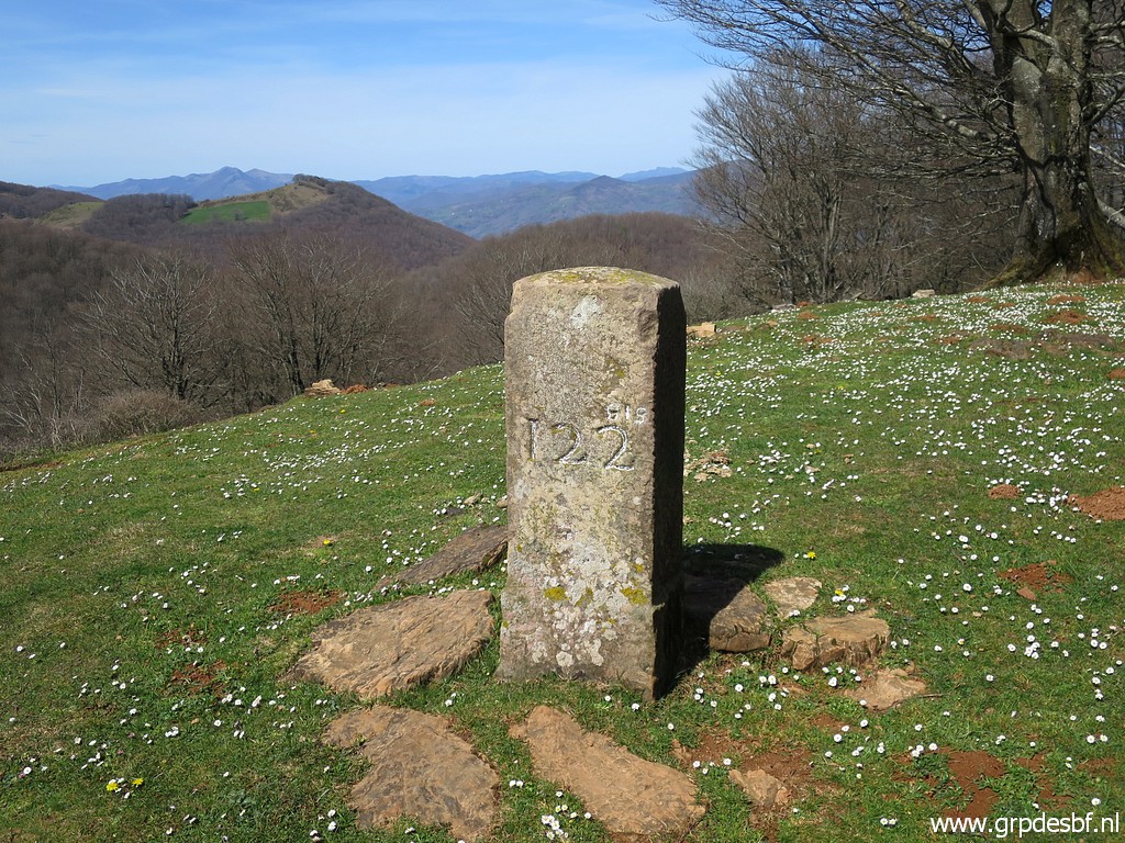
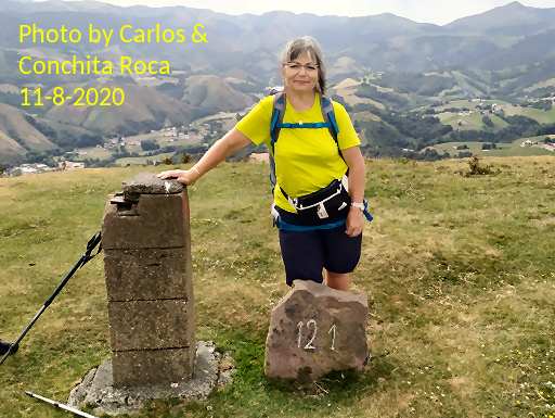 |
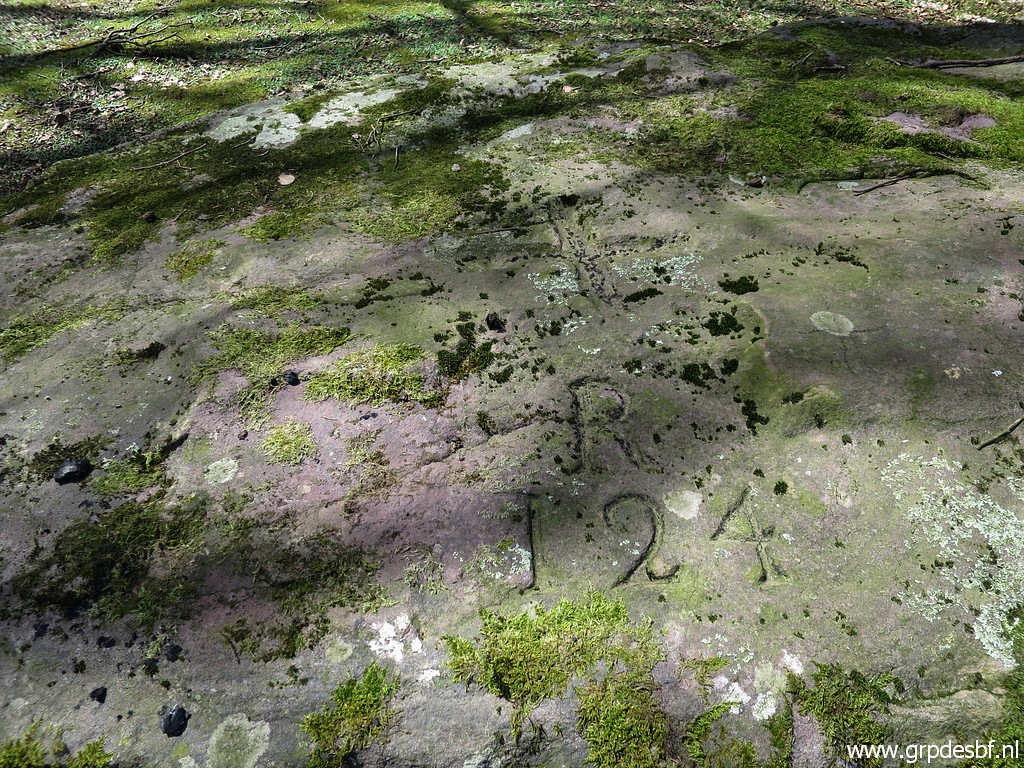
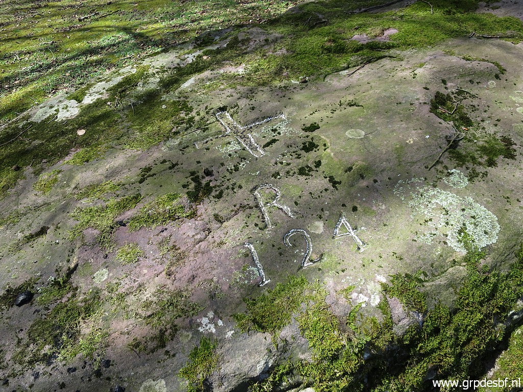
But what I forgot: to check the number atthe stone besides it. Carlos & Conchita discovered that in 2020. |
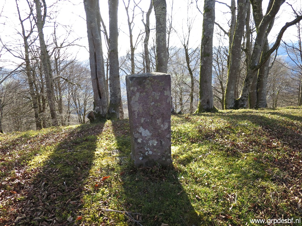
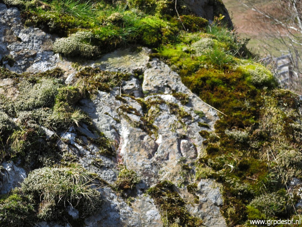
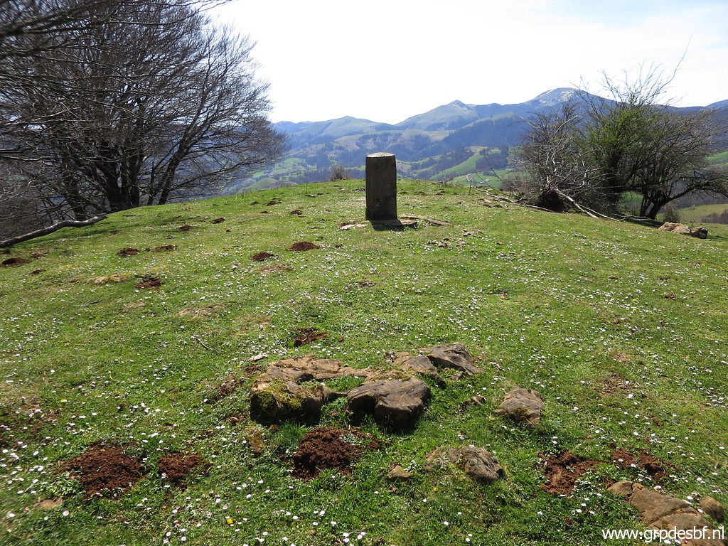
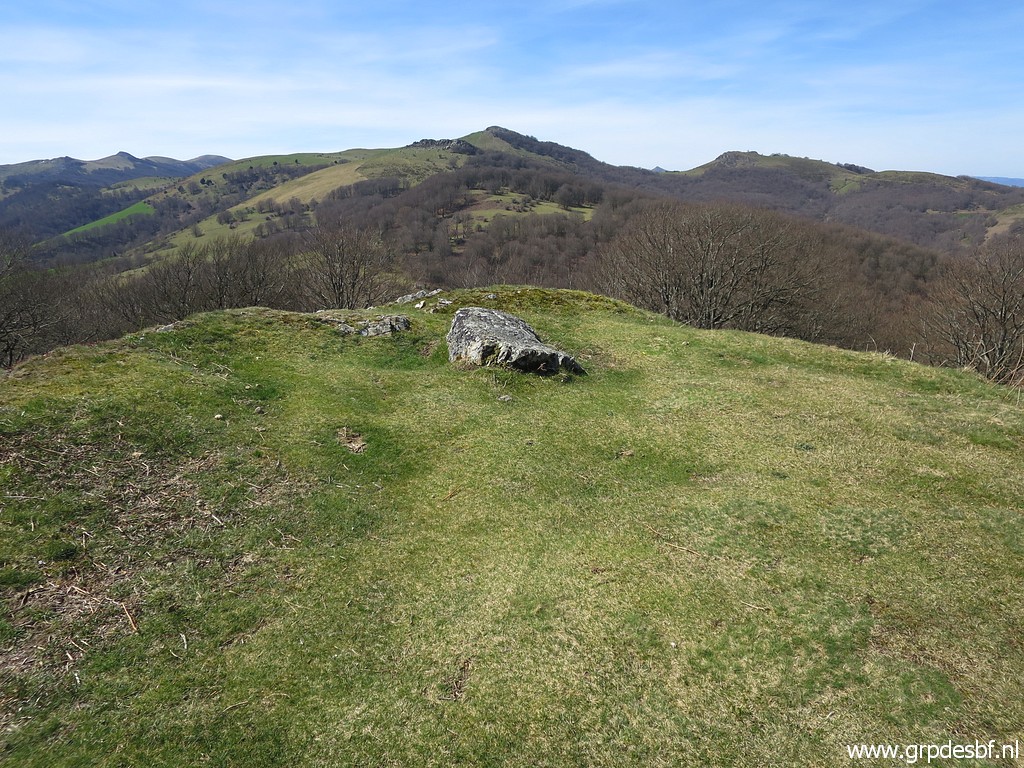 | At the end of the hillridge, there is this rock (click photo to enlarge) |
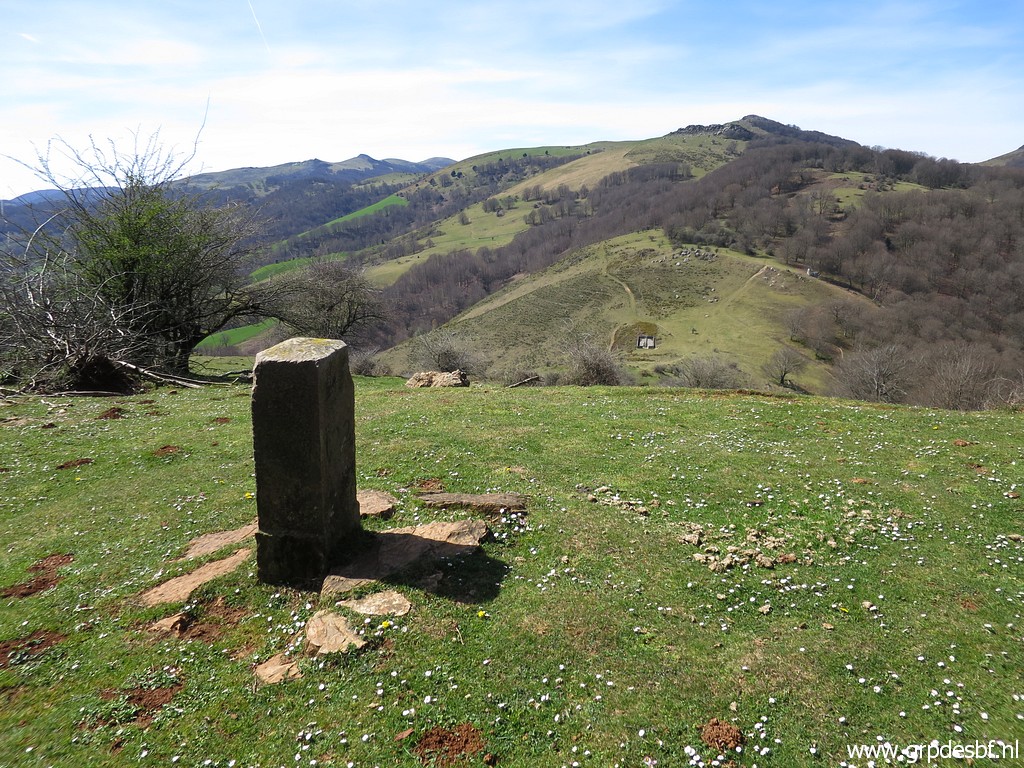
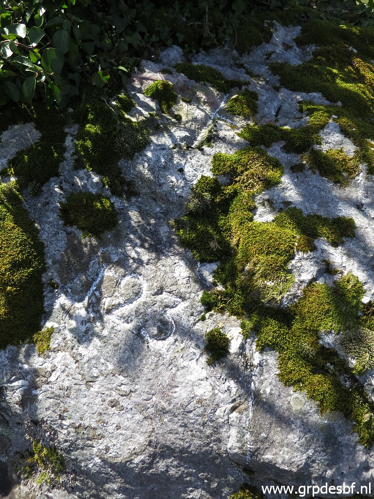
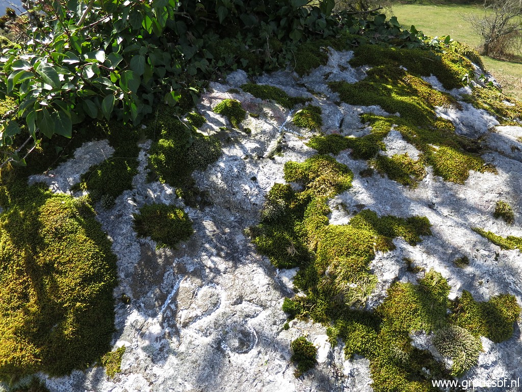
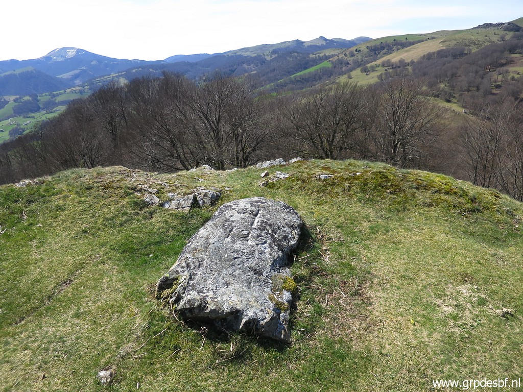 | which is bm122. (click photo to enlarge) |
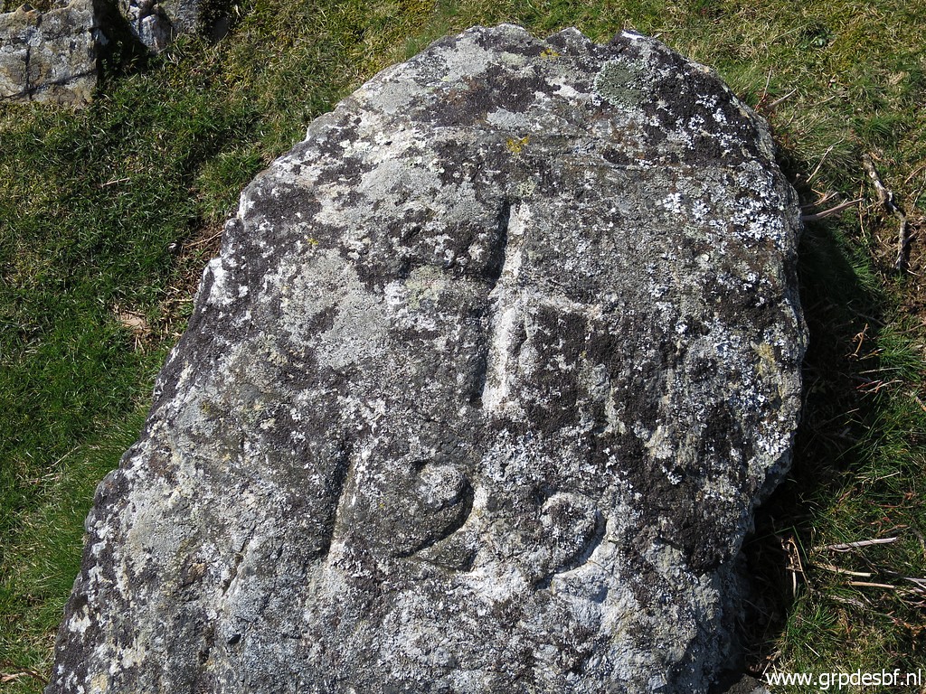 | Bm122 (click photo to enlarge) |
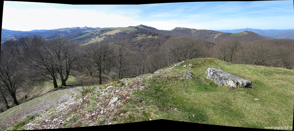 | Bm122, panorama. (click photo to enlarge) |
 | Descending to a lower level and continuing to bm122bis. (click photo to enlarge) |
 | Bm122bis (click photo to enlarge) |
 | Bm122bis (click photo to enlarge) |
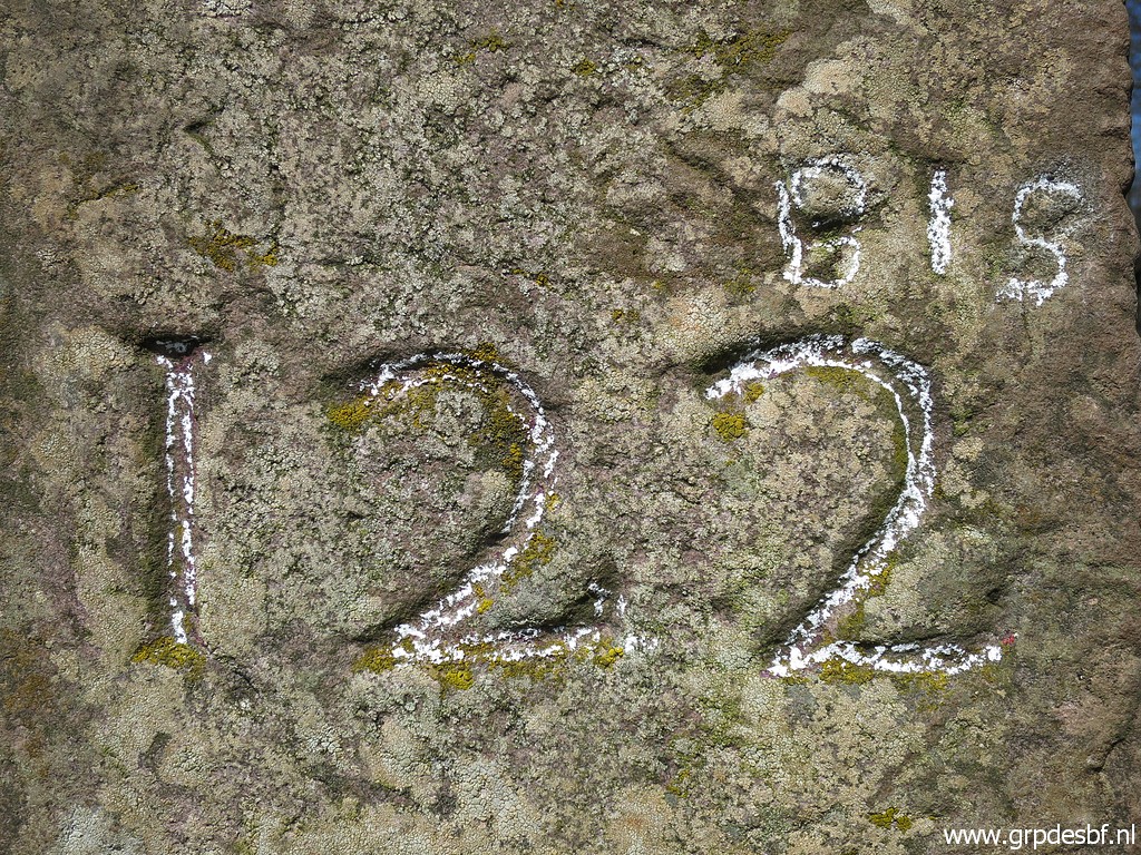 | Bm122bis (click photo to enlarge) |
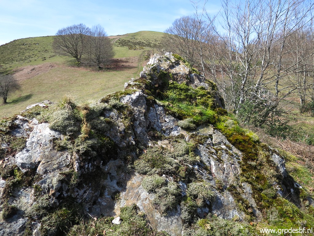
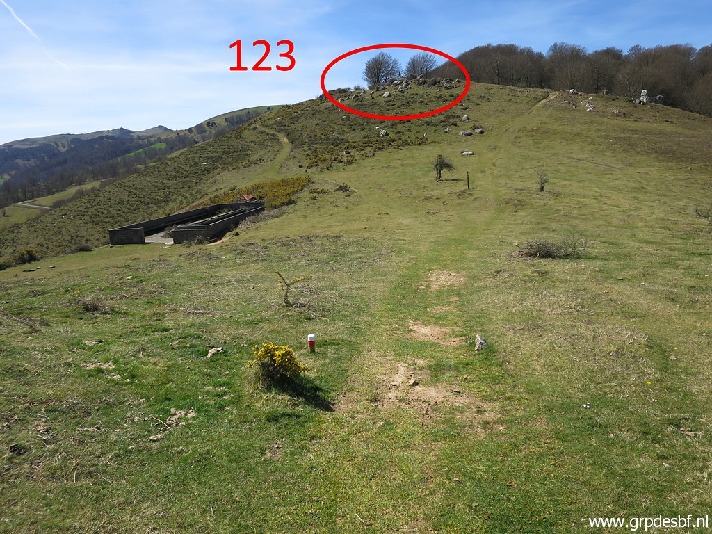 | From the next pass, a view to the hillside where bm123 can be found on a large rock between other rocks. (click photo to enlarge) |
 | Bm123 (click photo to enlarge) |
 | Bm123 (click photo to enlarge) |
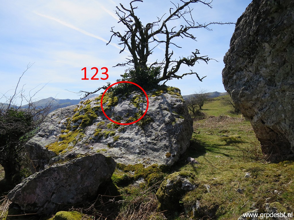 | Bm123 (click photo to enlarge) |
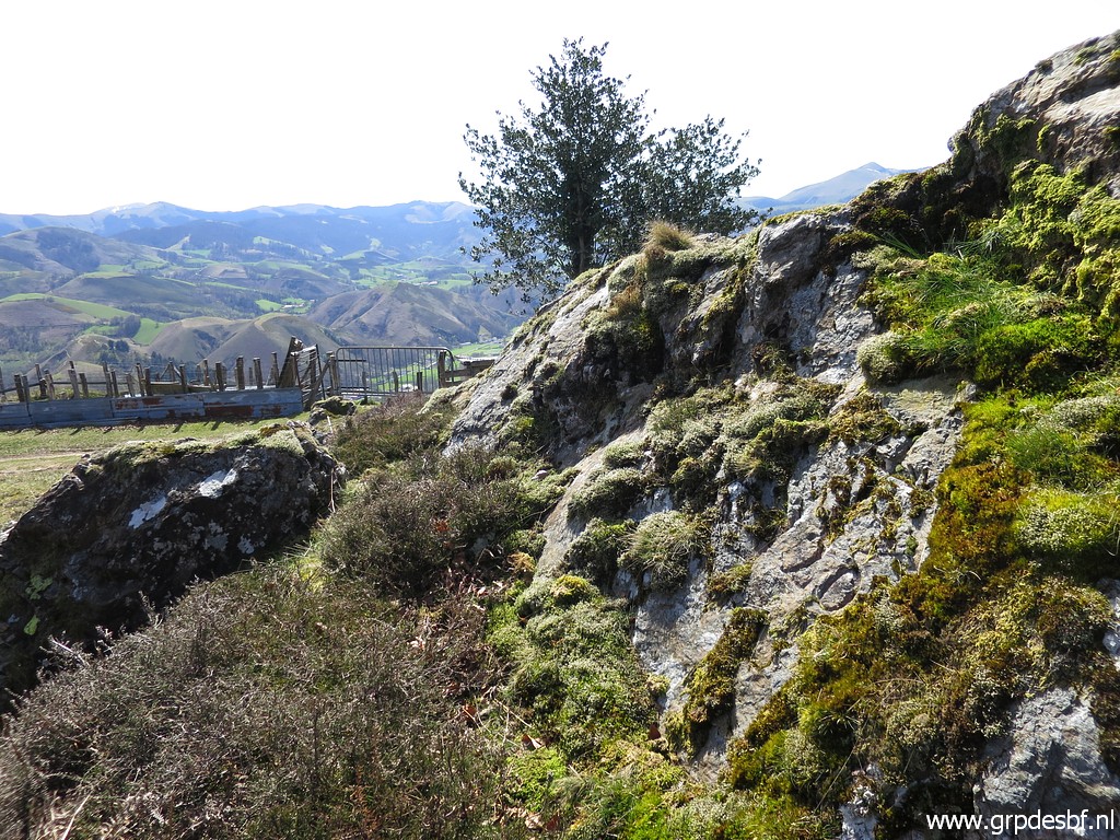
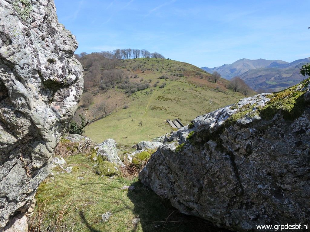 | From the rear side of bm123, looking back to the pass. (click photo to enlarge) |
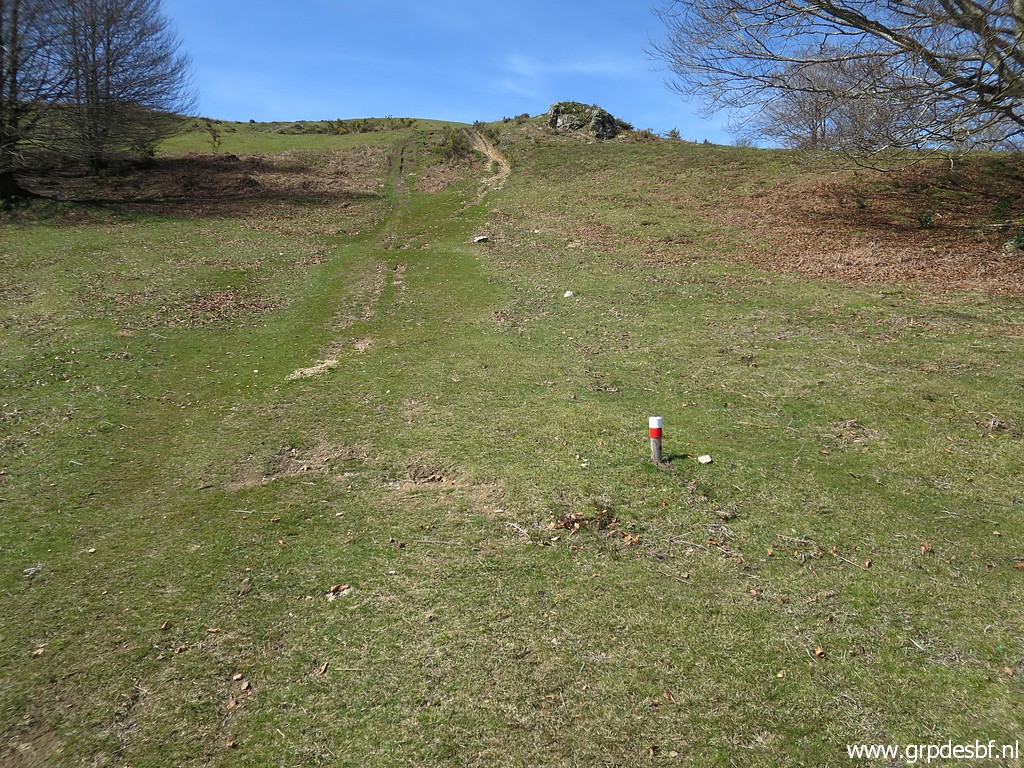
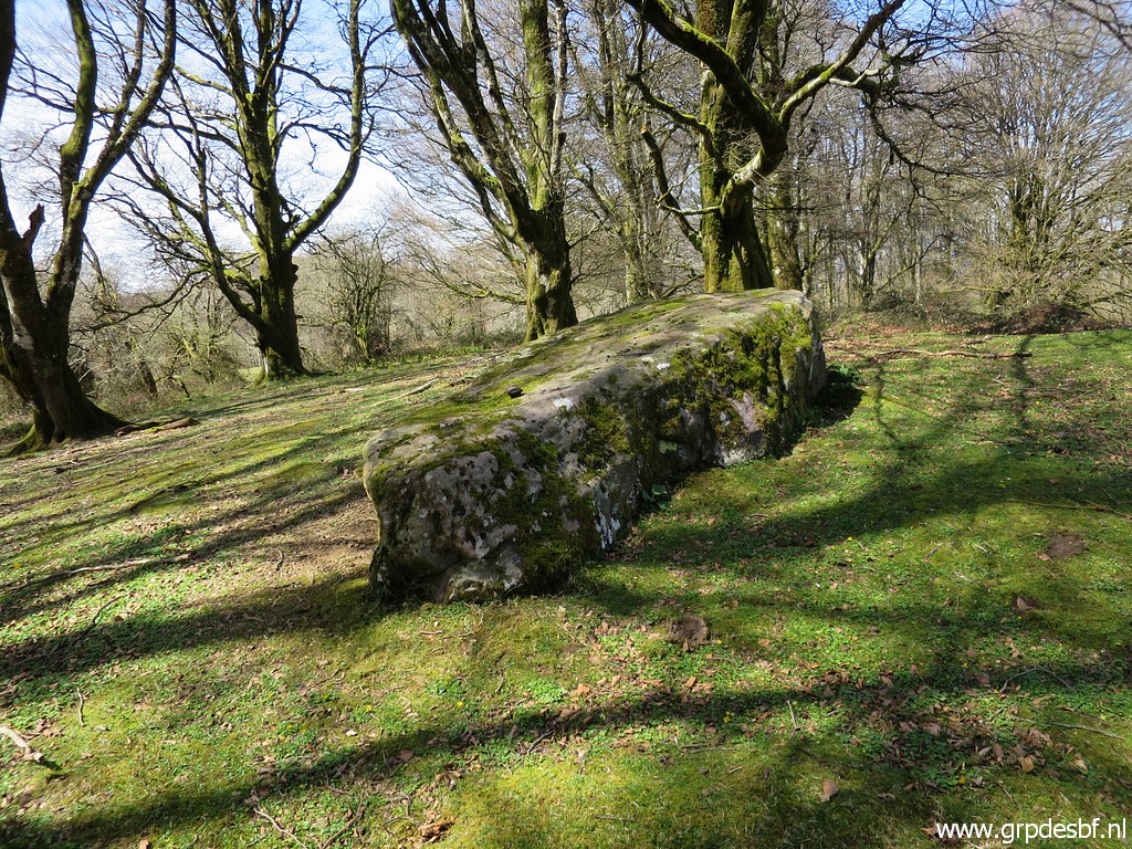
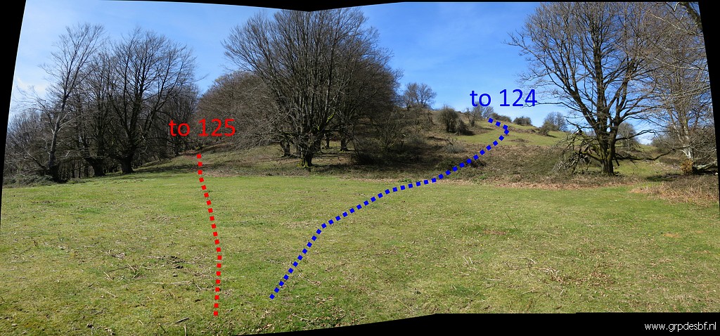 | Then this bifurcaton: - left is the main route along a trail to bm125 - right is a variant to cover bm124. (click photo to enlarge) |
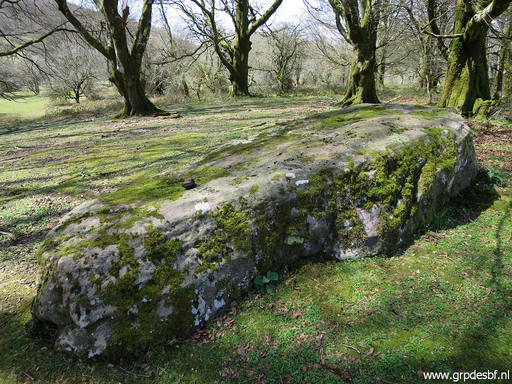
 | Bm124 (click photo to enlarge) |
 | Bm124 (click photo to enlarge) |
 | Bm124 (click photo to enlarge) |
 | Bm124 (click photo to enlarge) |
 | Bm124 (click photo to enlarge) |
 | Bm124 (click photo to enlarge) |
 | Then curving back to the trail and continuing to bm125. (click photo to enlarge) |
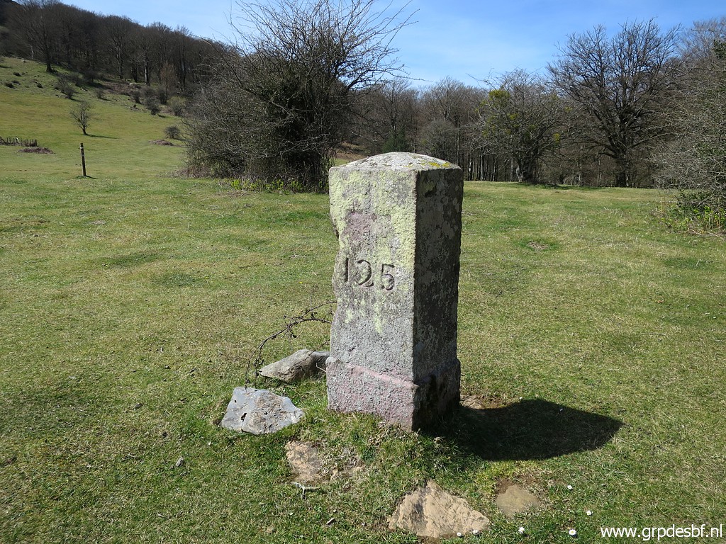 | Bm125 (click photo to enlarge) |
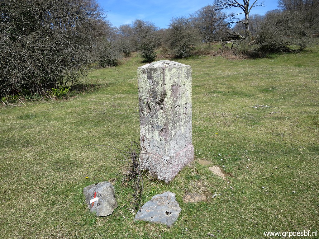 | Bm125 (click photo to enlarge) |
 | Bm125 (click photo to enlarge) |
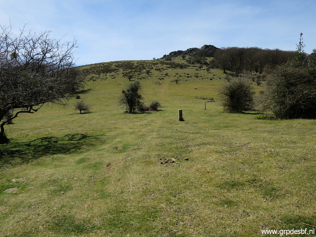
 | Then, 45m beyond bm125, I pass the end of a tarmac road and go straight ahead. (click photo to enlarge) |
 | Again a red-white waymark and almost reaching the fence (click photo to enlarge) |
 | which indicates the borderline from bm126 until bm130. (click photo to enlarge) |
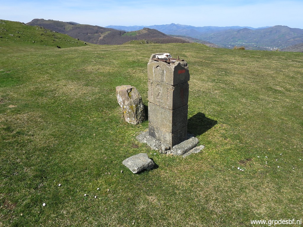
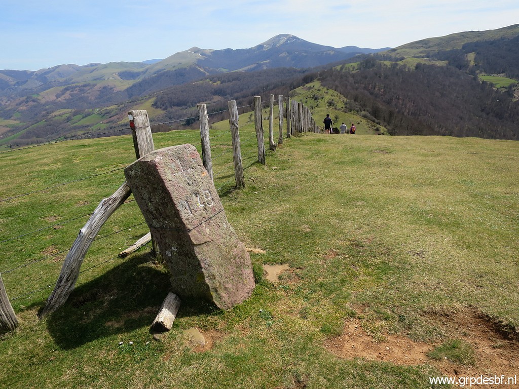
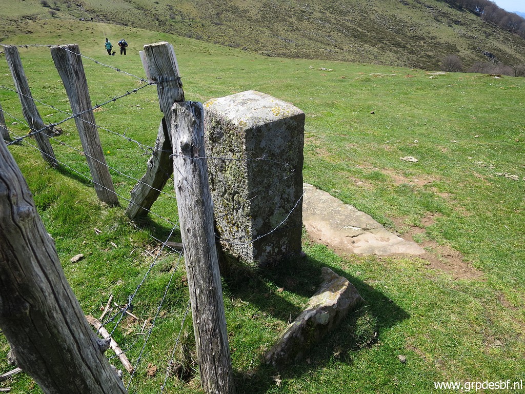 | Bm126 (click photo to enlarge) |
 | Bm126 (click photo to enlarge) |
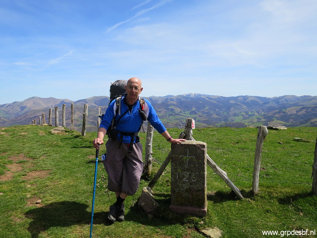 | At bm126, I meet some walkers who kindly take this picture. (click photo to enlarge) |
 |
One of them told me that he knew
Robert Darrieumerlou and that he had provided him with several pictures
of lost or destroyed bordermarkers under the nickname of 'Xan'. Like this one on this page with my text: "In march 2014 I have been informed by Robert Darrieumerlou that this picture originates from his website. The photographer was one "Xan"." What a coïncidence to meet Xan. I forgot to ask his email-address. |
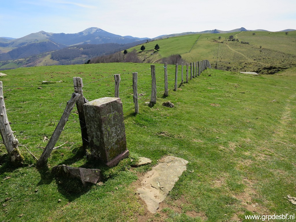 | Bm126 (click photo to enlarge) |
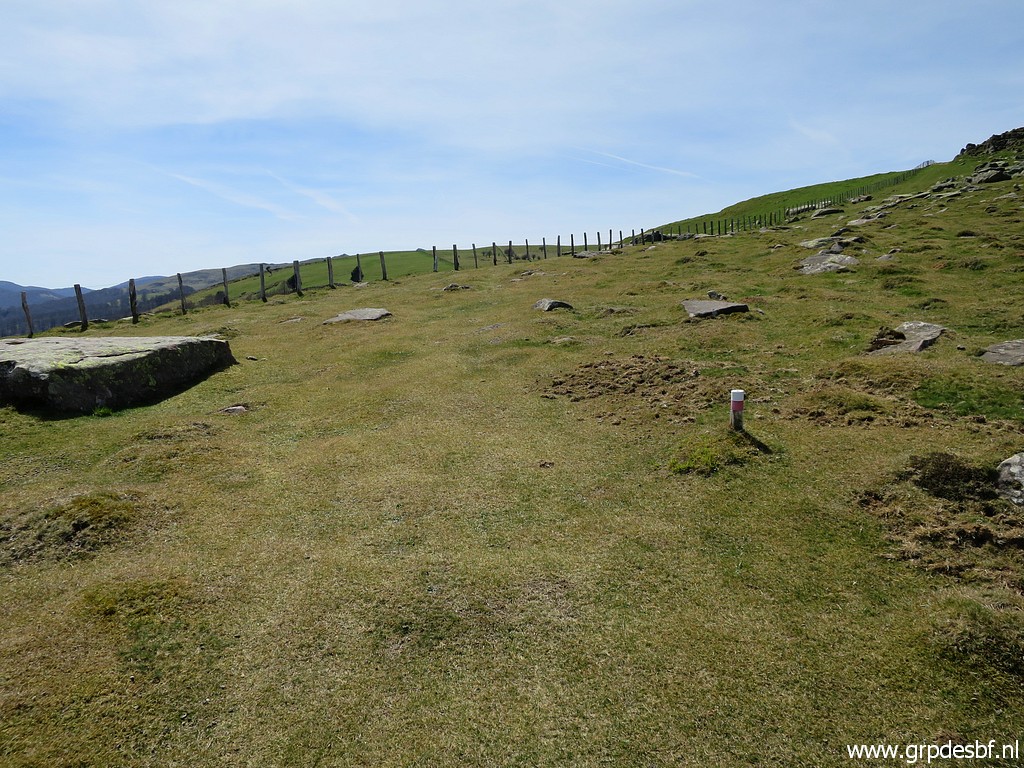
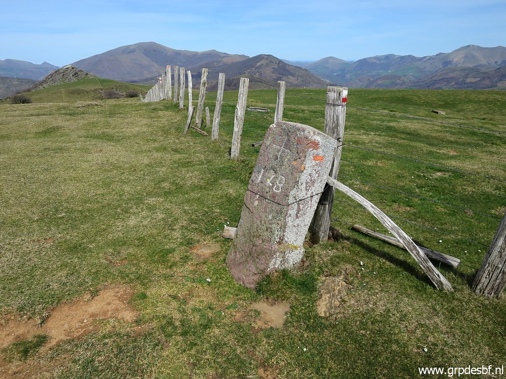
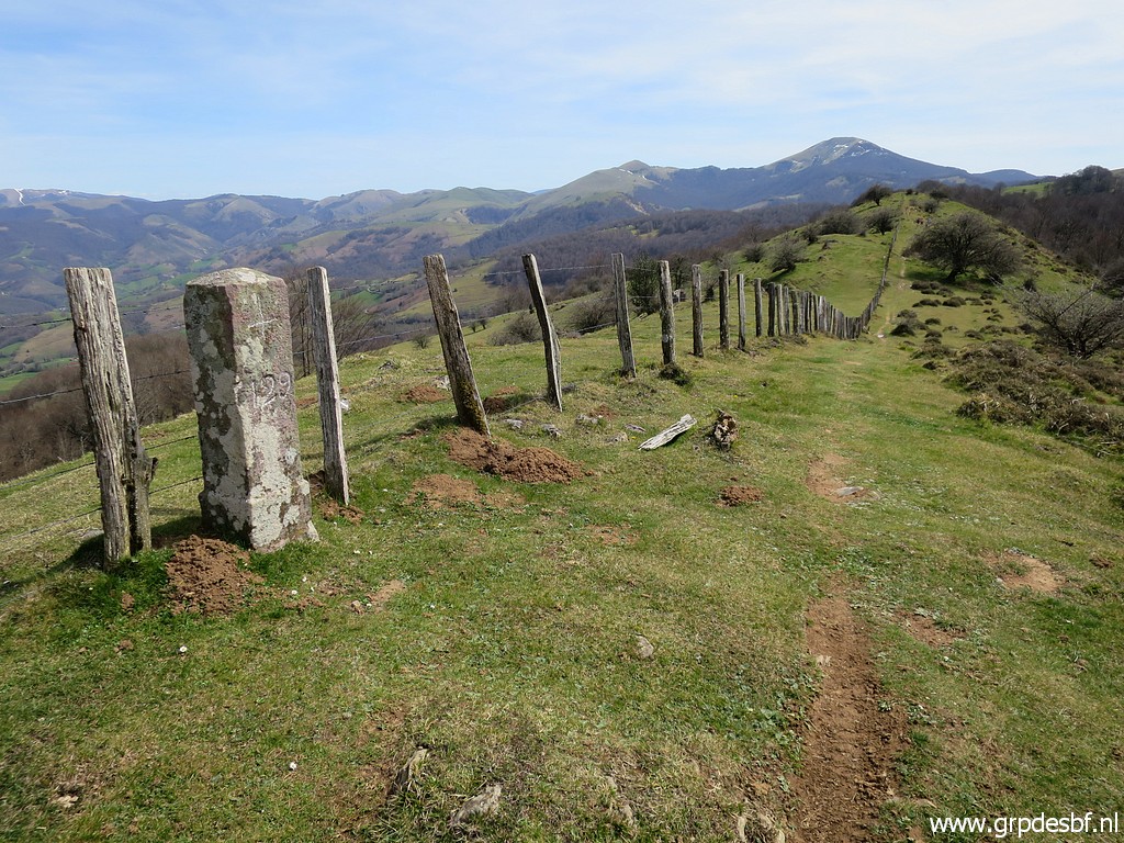
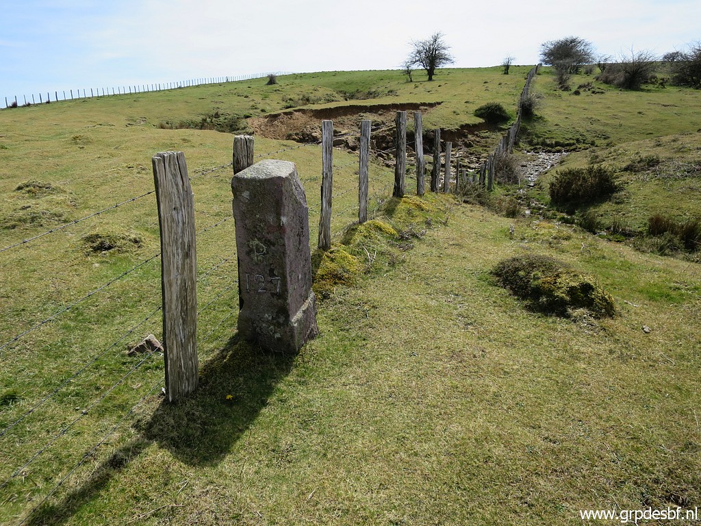 | Now navigating is easy (until bm130): just follow the fence. This is bm127. (click photo to enlarge) |
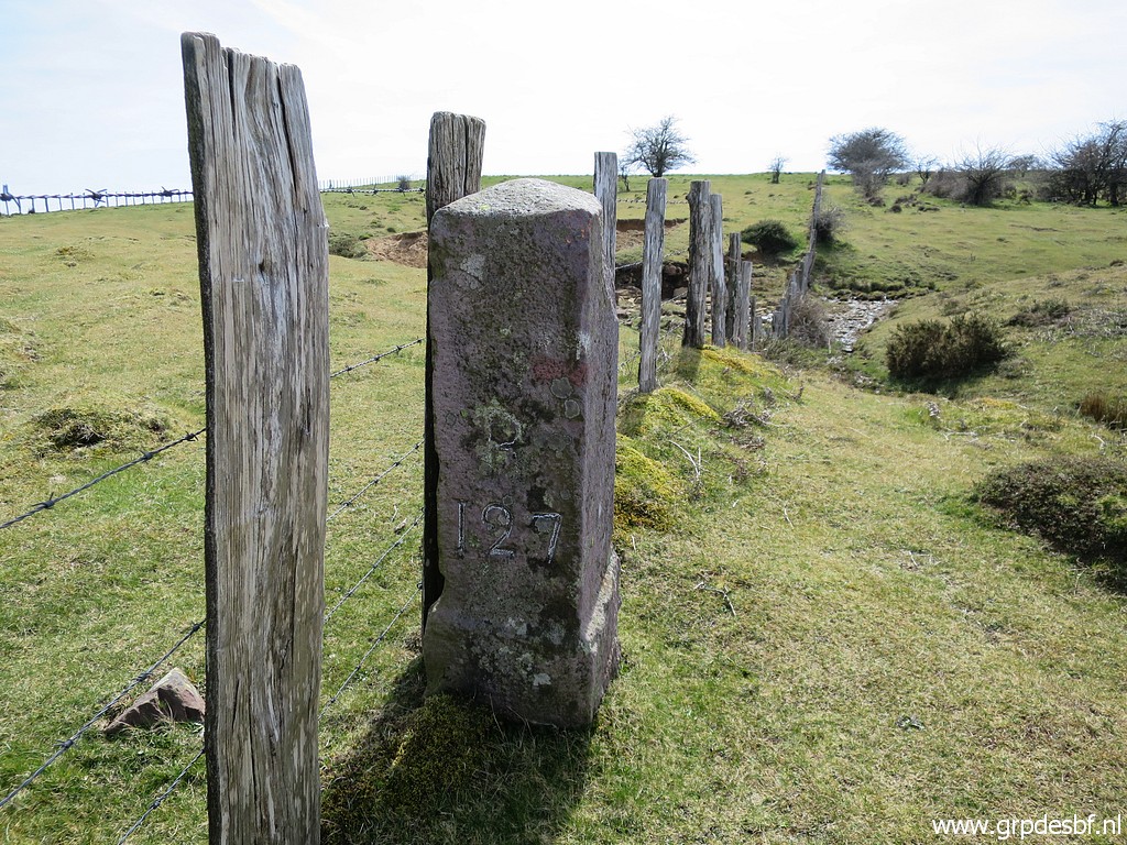 | Bm127 (click photo to enlarge) |
 | Bm127, looking back (click photo to enlarge) |
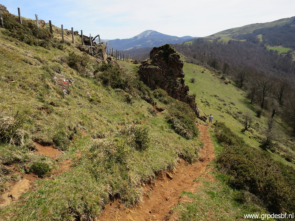
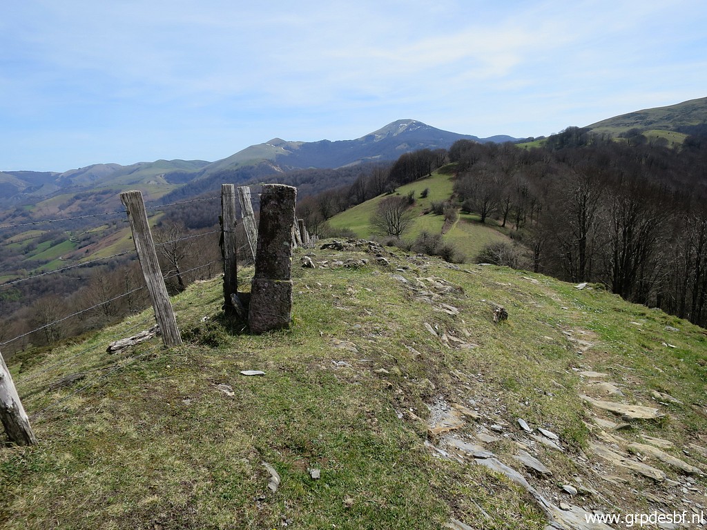
 | Still on the orange trail. (click photo to enlarge) |
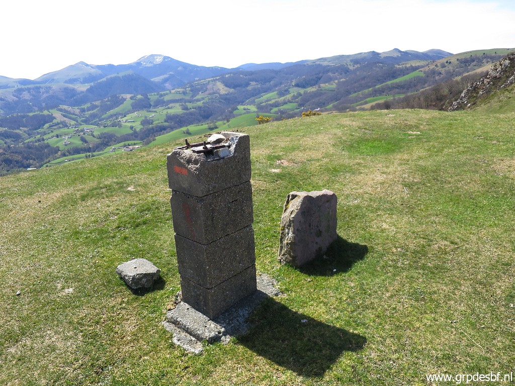
 | Having arrived at bm128. (click photo to enlarge) |
 | Bm128 (click photo to enlarge) |
 | Bm128, looking back (click photo to enlarge) |
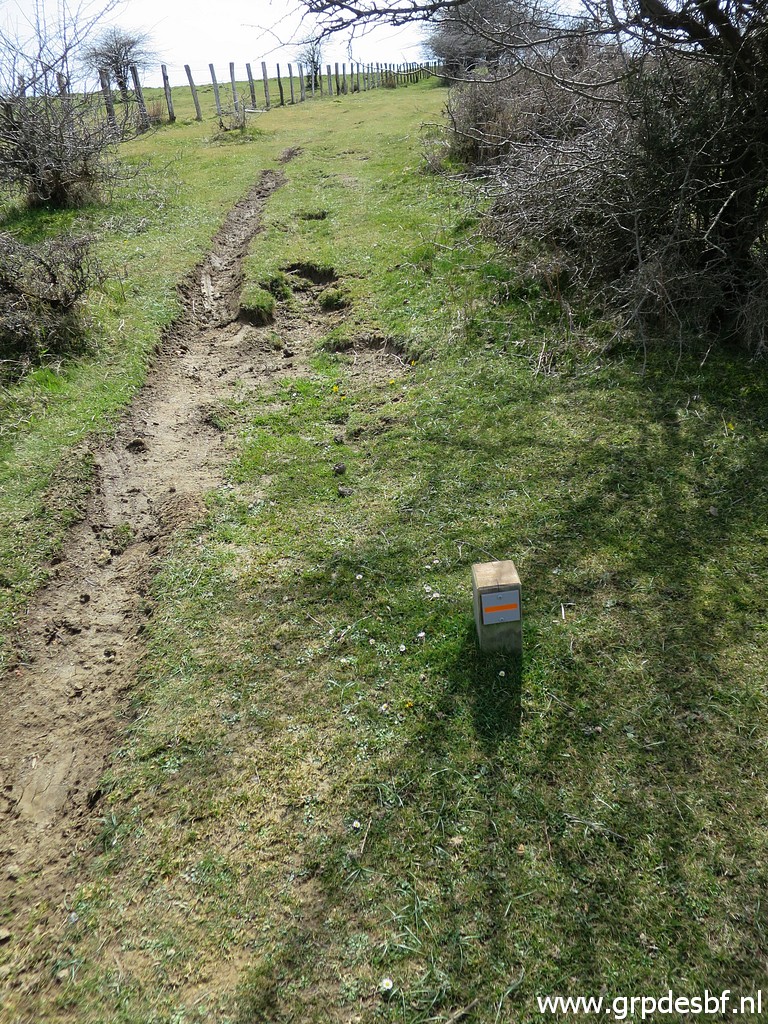
 | The trail continues, now for a while underneath the fence. (click photo to enlarge) |
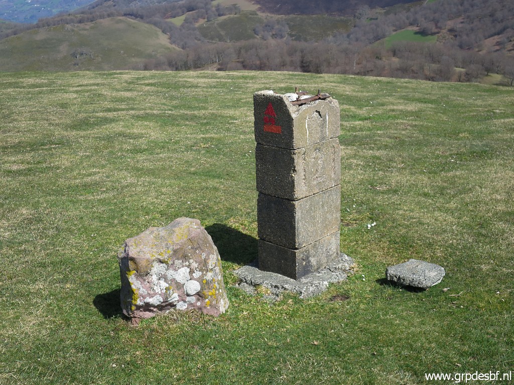
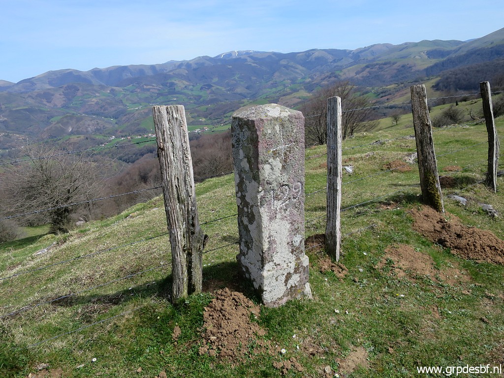 | Bm129 (click photo to enlarge) |
 | Bm129 (click photo to enlarge) |
 | Bm129, looking back. Note the red-white waymarks. (click photo to enlarge) |
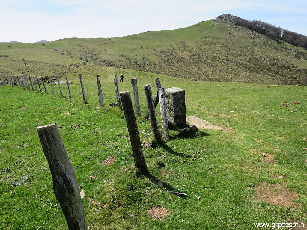
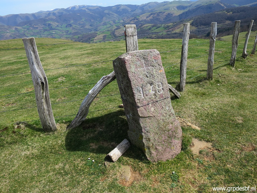
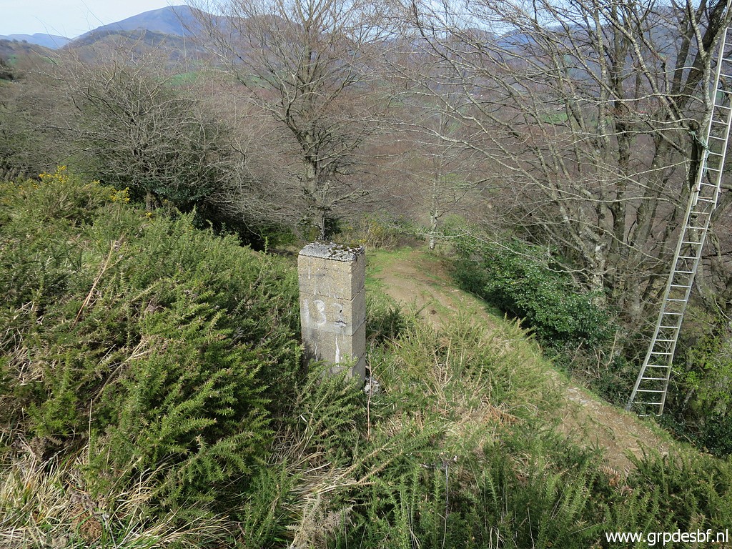
 | Having arrived at bm130. (click photo to enlarge) |
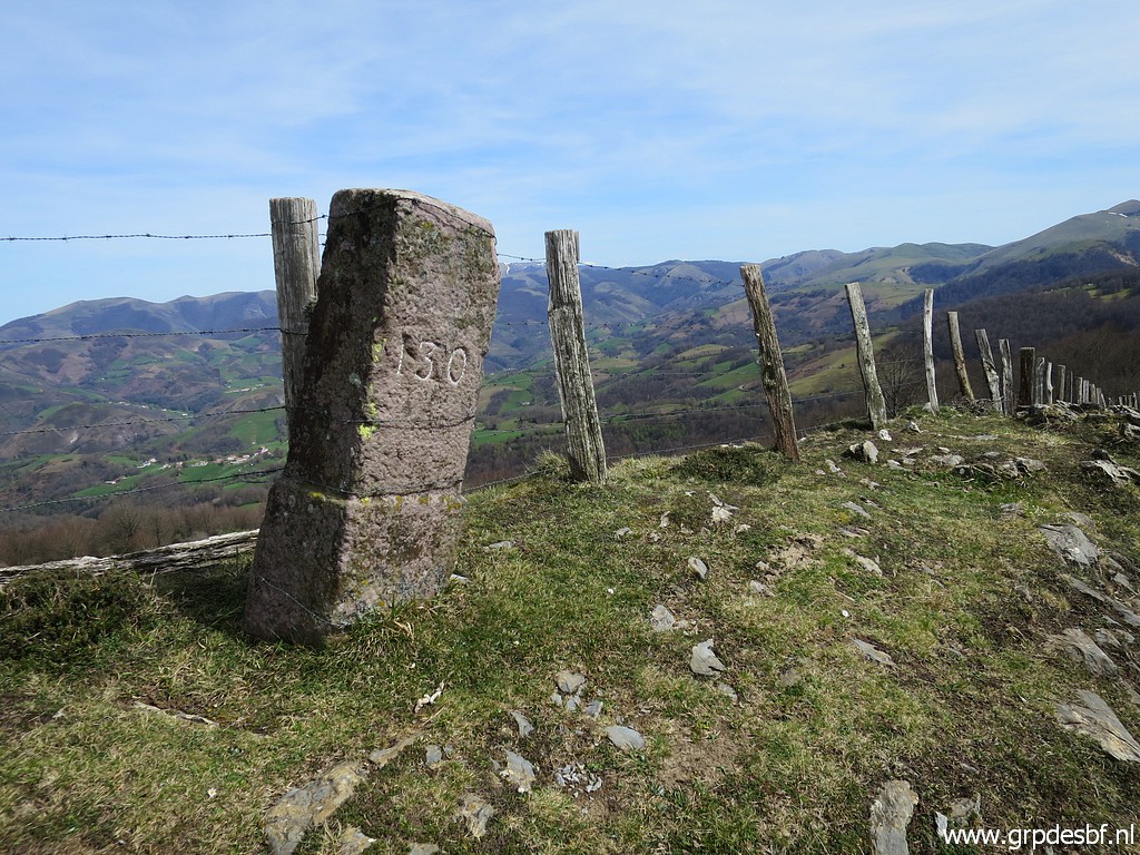 | Bm130 (click photo to enlarge) |
 | Bm130 From bm130, the borderline leaves the fence and heads in a straight line to the summit of Isterbegi (bm141, a distance of 4,5km). The next bordermarkers are placed along that straight line, ignoring any geophysical feature that might serve as a natural border. (click photo to enlarge) |
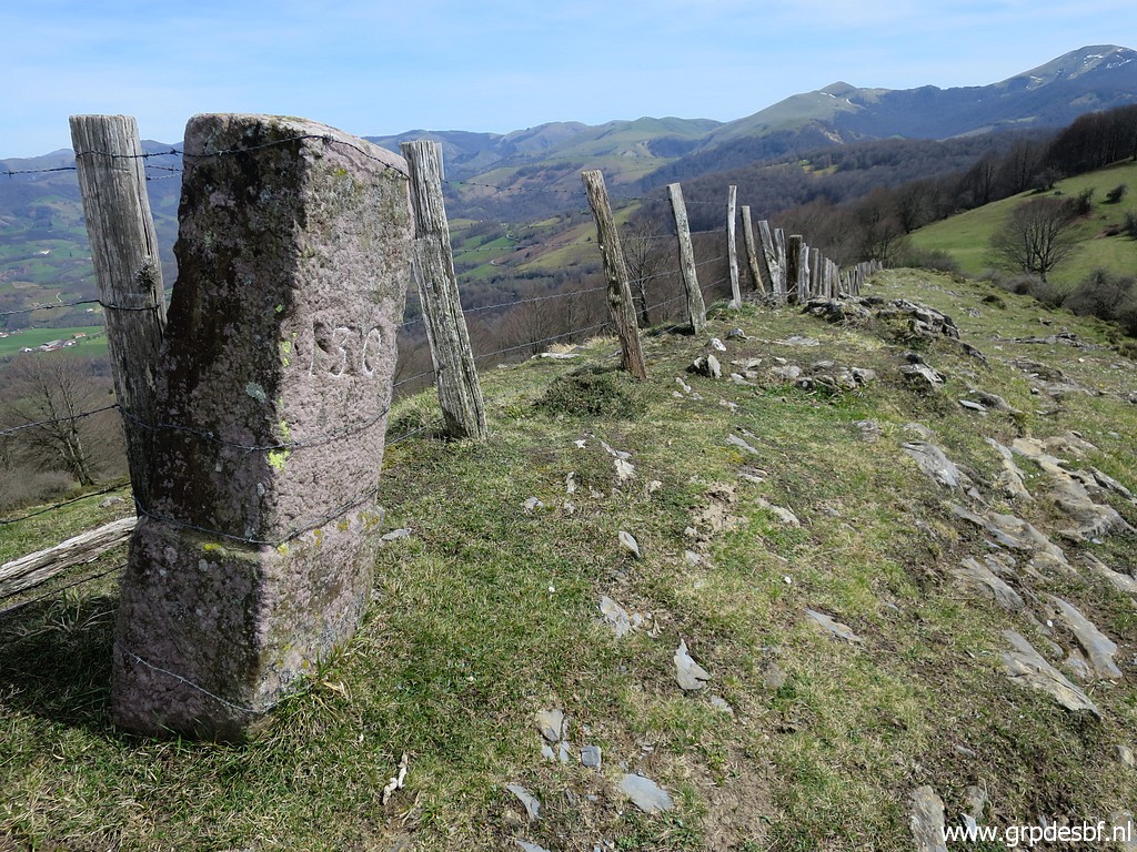
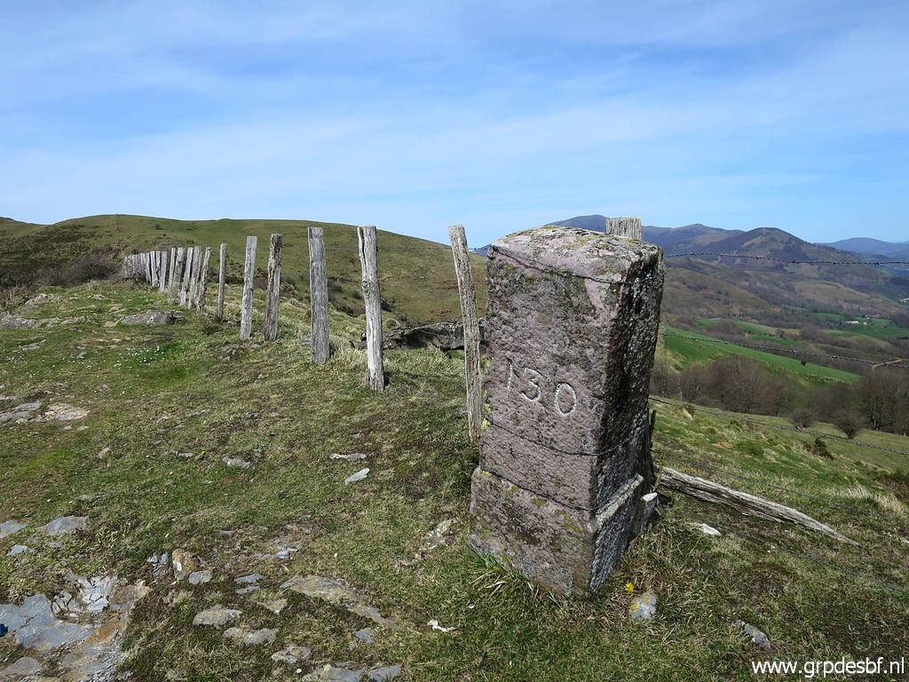 | Bm130, looking back (click photo to enlarge) |
 | Interesting graffiti: "God but it's good to be a walker". So true. (click photo to enlarge) |
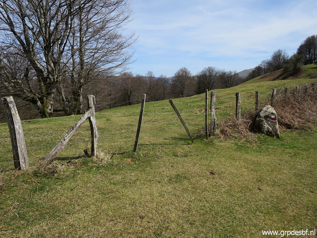
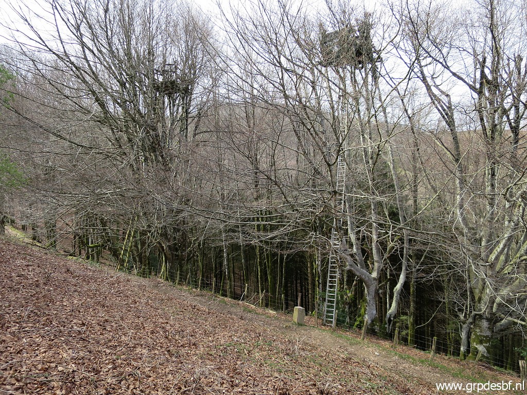
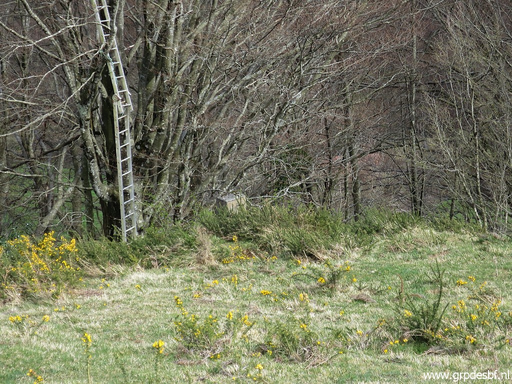
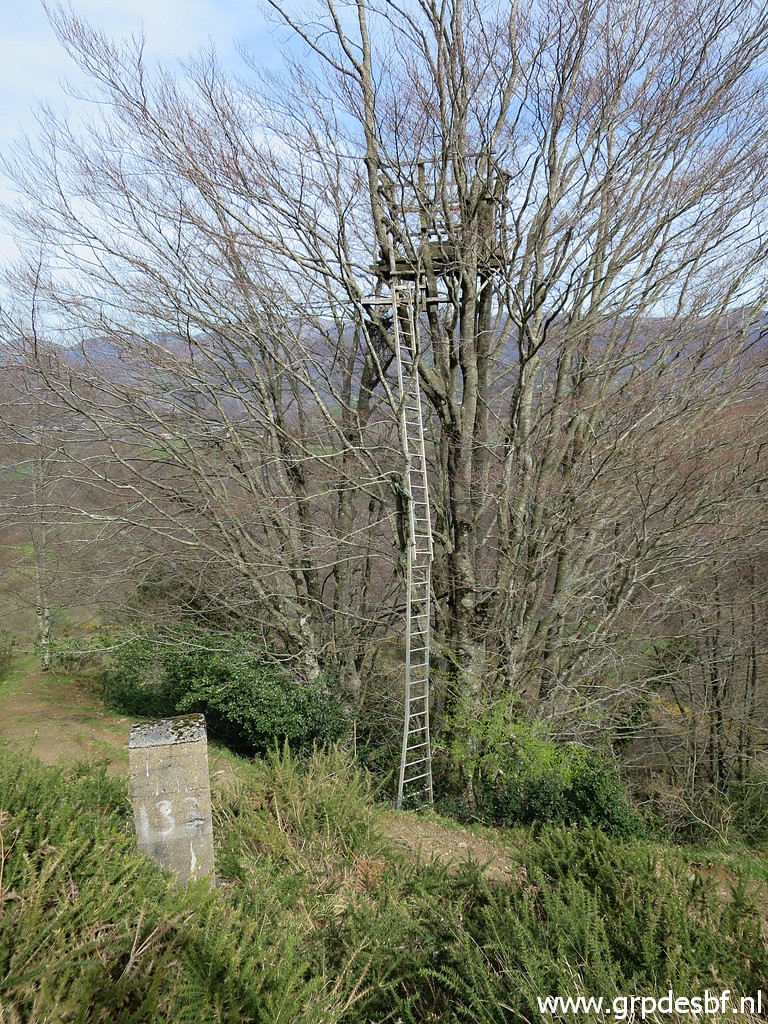
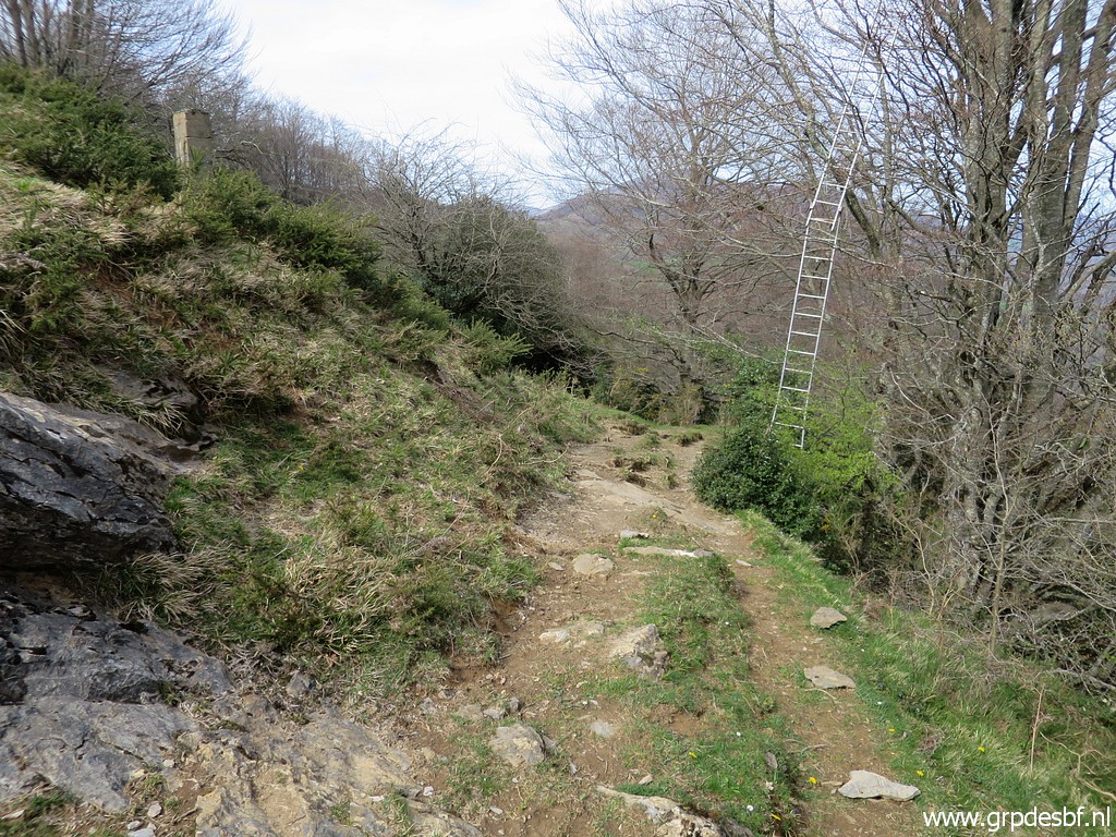
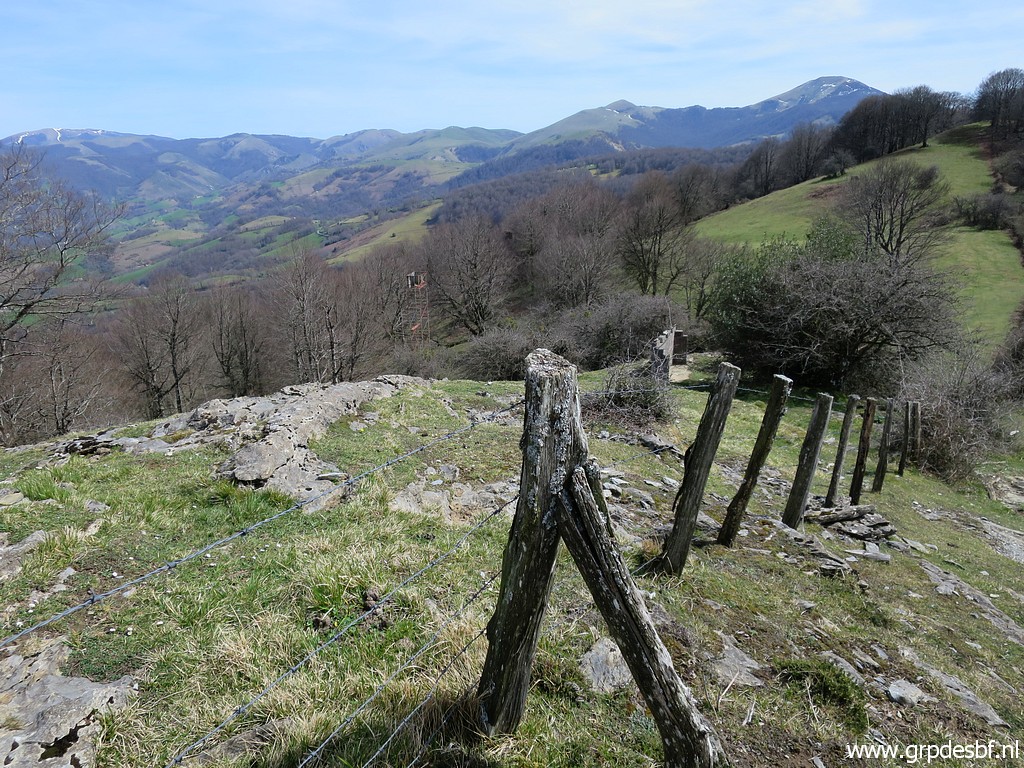 | Problem now: where to cross the fence in an elegant way? On this picture you can spot (click photo to enlarge) |
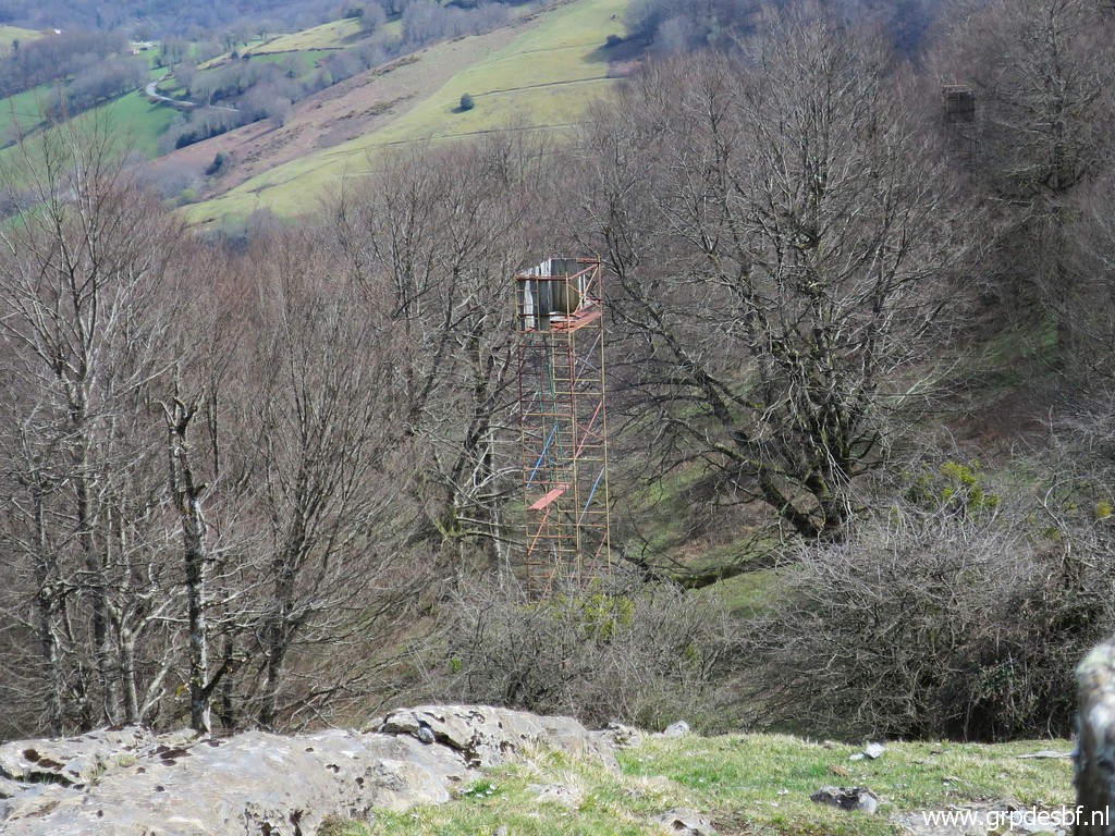 | (zoom-in) a hunter's watch-tower. I remember that bm131 is standing close to that tower. (click photo to enlarge) |
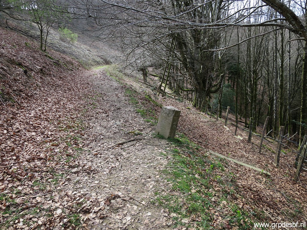
 | Then I find along the fence (click photo to enlarge) |
 | this gate to cross the fence. (click photo to enlarge) |
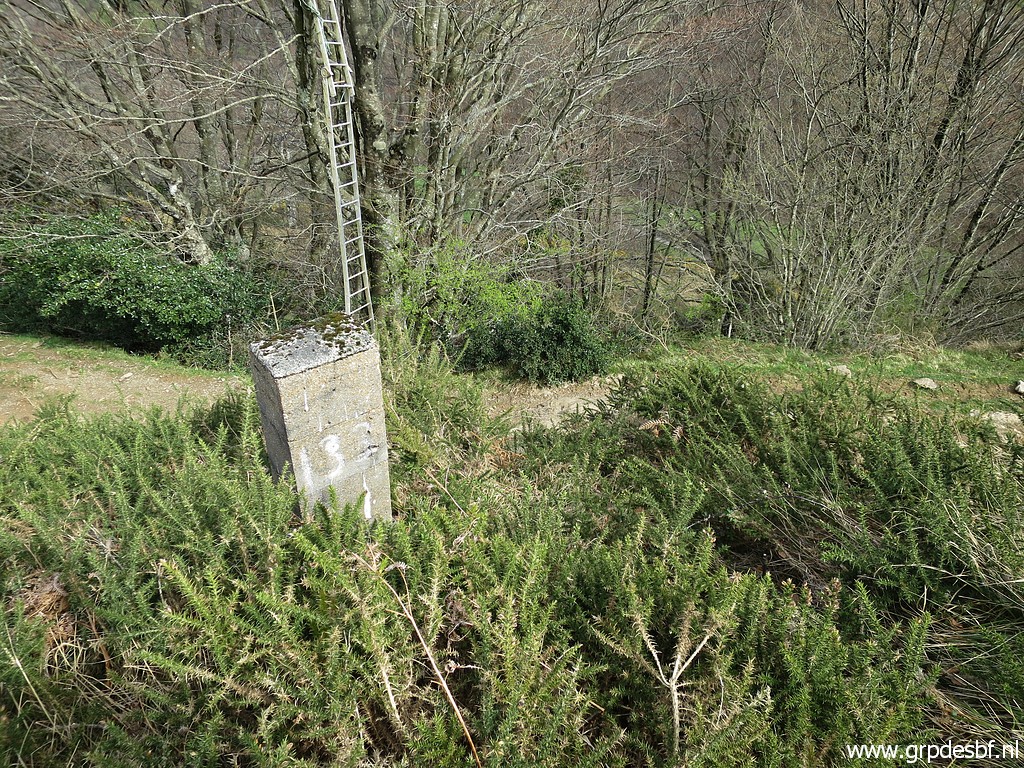
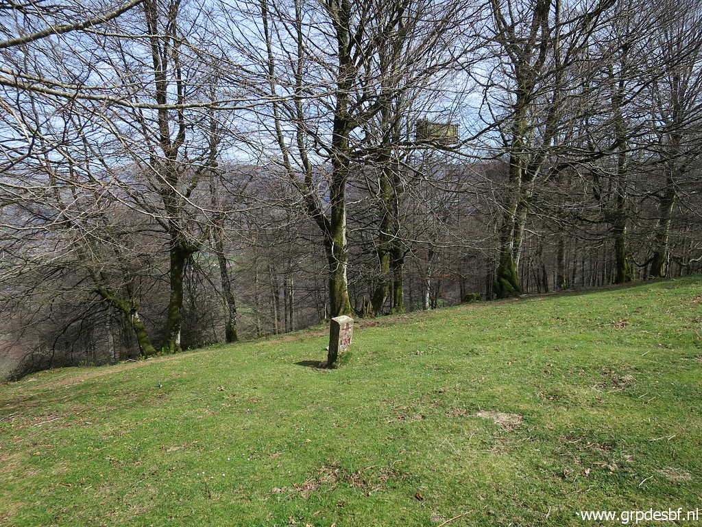 | Arriving at bm131 (with the tower in the background). (click photo to enlarge) |
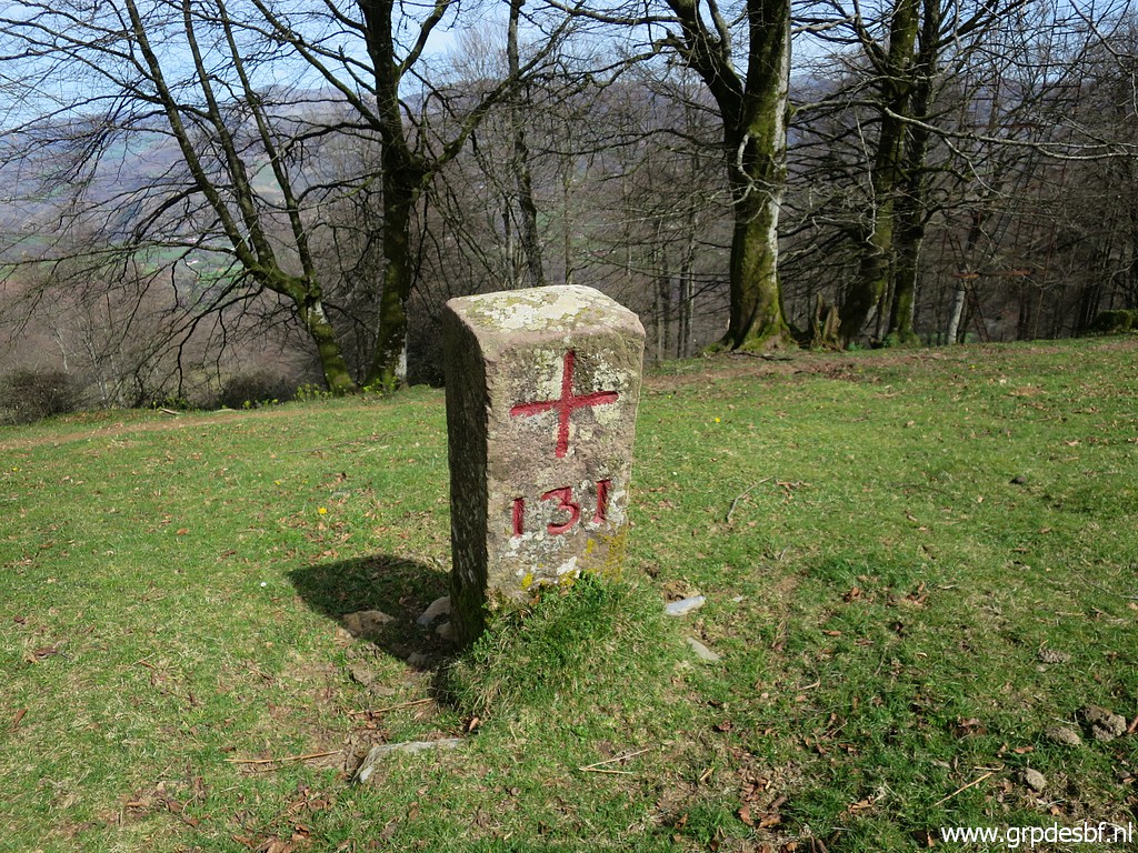 | Bm131 (click photo to enlarge) |
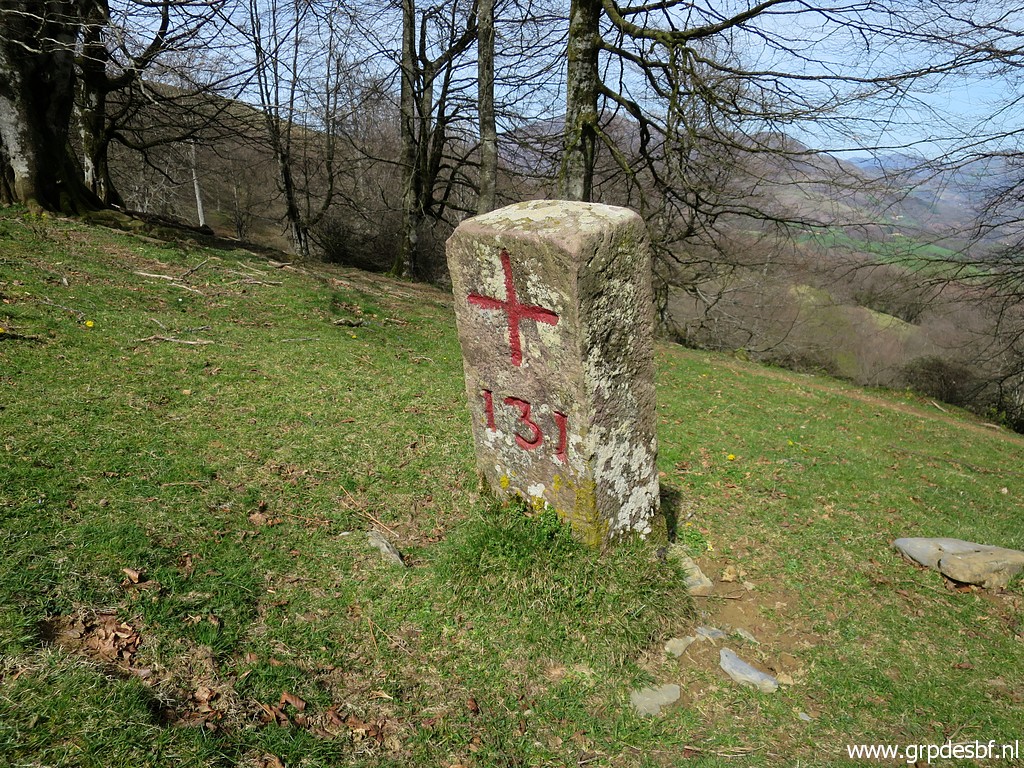 | Bm131 (click photo to enlarge) |
 | Bm131 (click photo to enlarge) |
 | Bm131 with the trail which will bring me in a half-circle to bm132. (click photo to enlarge) |
 | Last view of bm131 with the watch-tower. (click photo to enlarge) |
 | In the second half of the half-circle, the trail gets vaguer and I use my gps to find bm132. (click photo to enlarge) |
 | Bm132 (click photo to enlarge) |
 | Bm132 (click photo to enlarge) |
 | Bm132 (click photo to enlarge) |
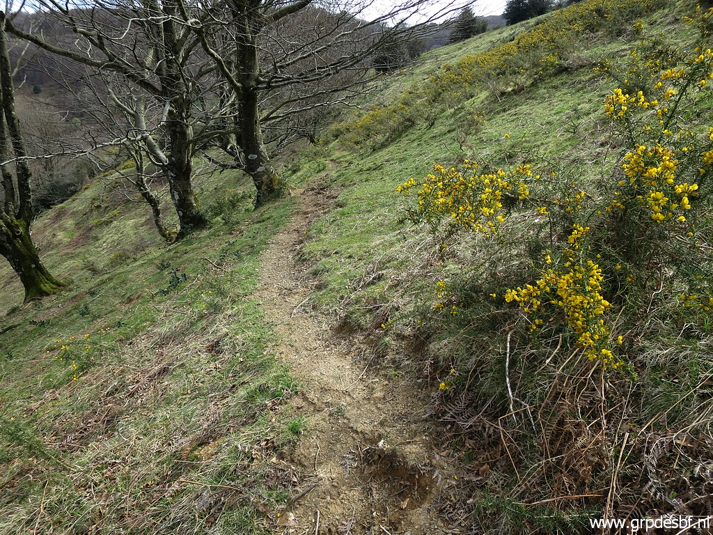 | From bm132, a cattle trail descends SSE (click photo to enlarge) |
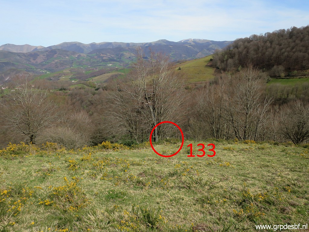 | to bm133. (click photo to enlarge) |
 | Zoom-in to bm133. (click photo to enlarge) |
 | Bm133 (click photo to enlarge) |
 | Bm133 (click photo to enlarge) |
 | Bm133 (click photo to enlarge) |
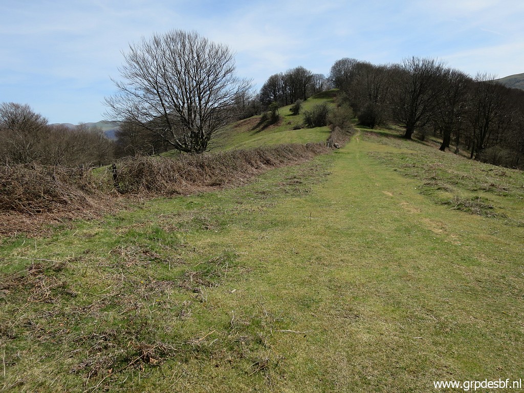
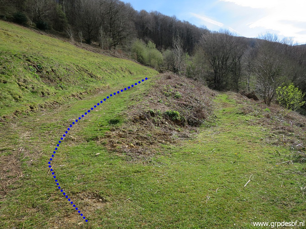
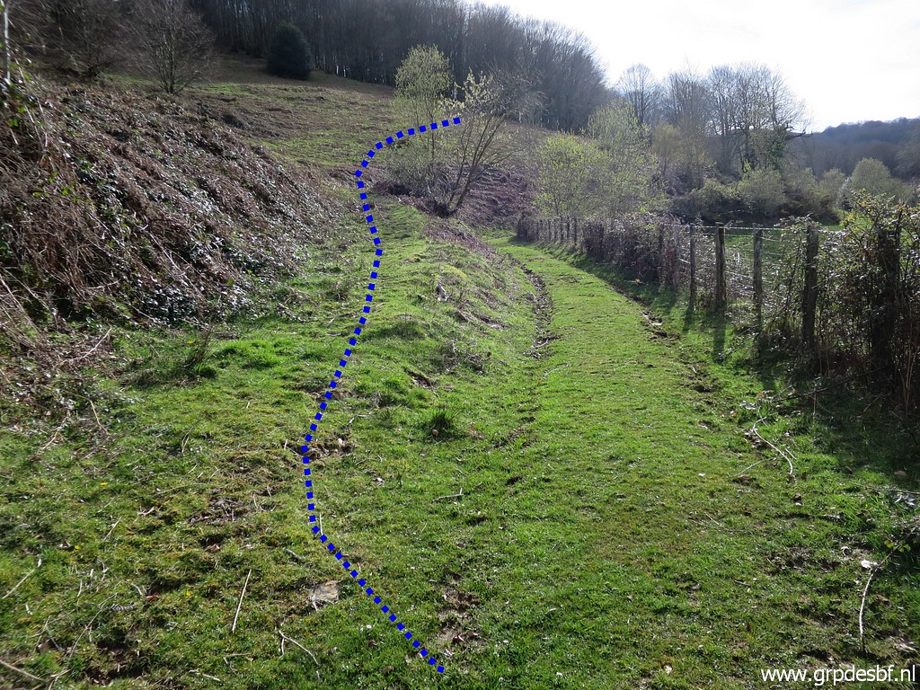
 | Bm133 Eleven years ago I descended and climbed in a straight line towards bm134. But Carlos & Conchita Roca told me that the fields have gotten overgrown with for example blackberry and are now very difficult to cross. So I figured out an alternative route. It starts with descending along this trail and heading NE downhill along cattle tracks for 200m (click photo to enlarge) |
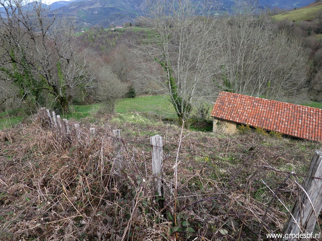 | to arrive at a passage between this barn (to the right) (click photo to enlarge) |
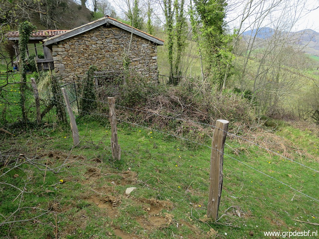 | and this cabin/house to the left. (click photo to enlarge) |
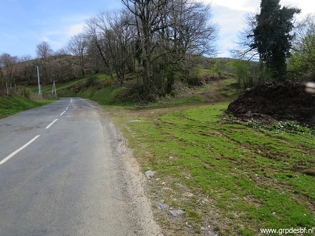
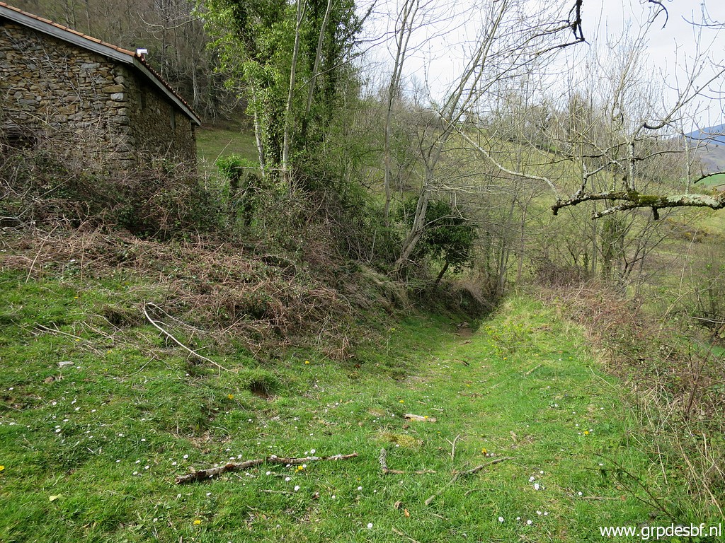 | In between a dirtroad descends to the tarmac road. (click photo to enlarge) |
 | This is where the dirtroad meets the tarmac road. (click photo to enlarge) |
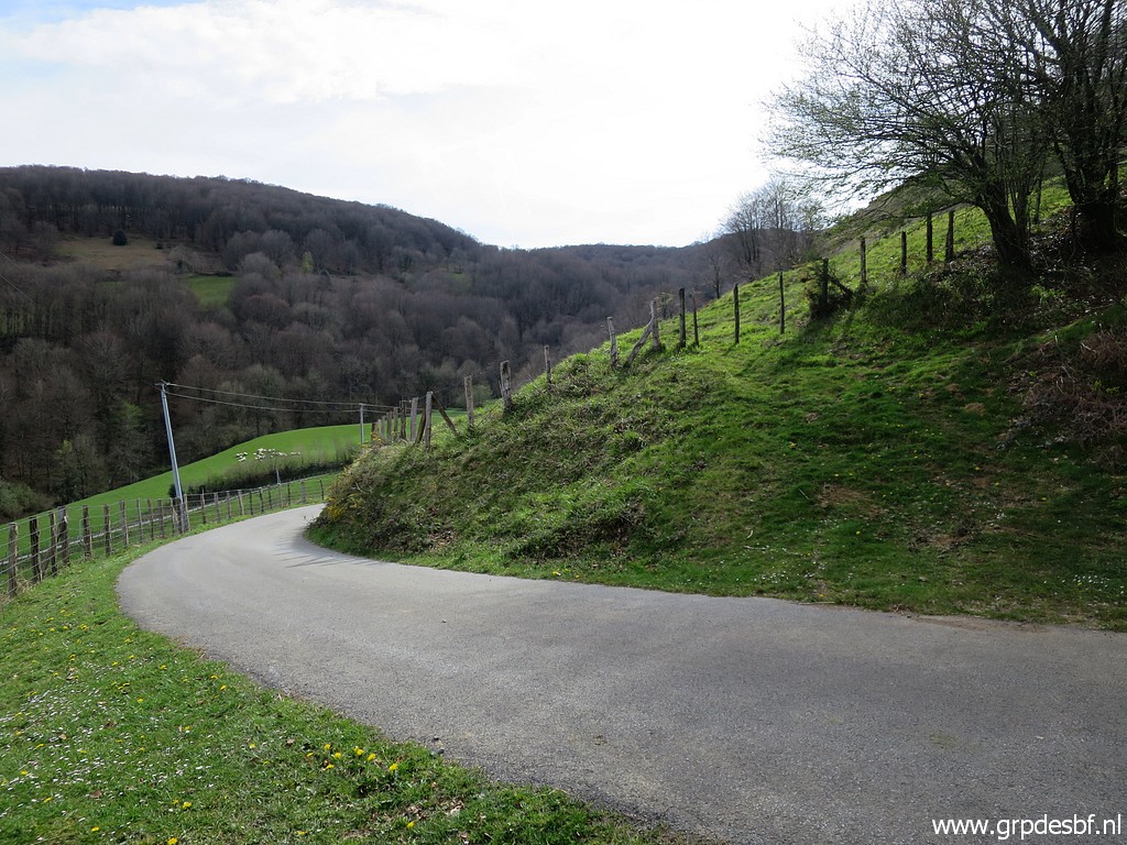
 | The tarmac roads winds for 1,3km until it reaches the main road. I have collected water at a stream for tonight's bivouac, adding ± 5 kilo to my backpack. Somewhere After 300m SW the main road reaches this point where a dirtroad starts at the right side. (click photo to enlarge) |
 | Follow that dirtroad, keep left at this bifurcation (click photo to enlarge) |
 | until you reach this point. Now I have to climb into the field (click photo to enlarge) |
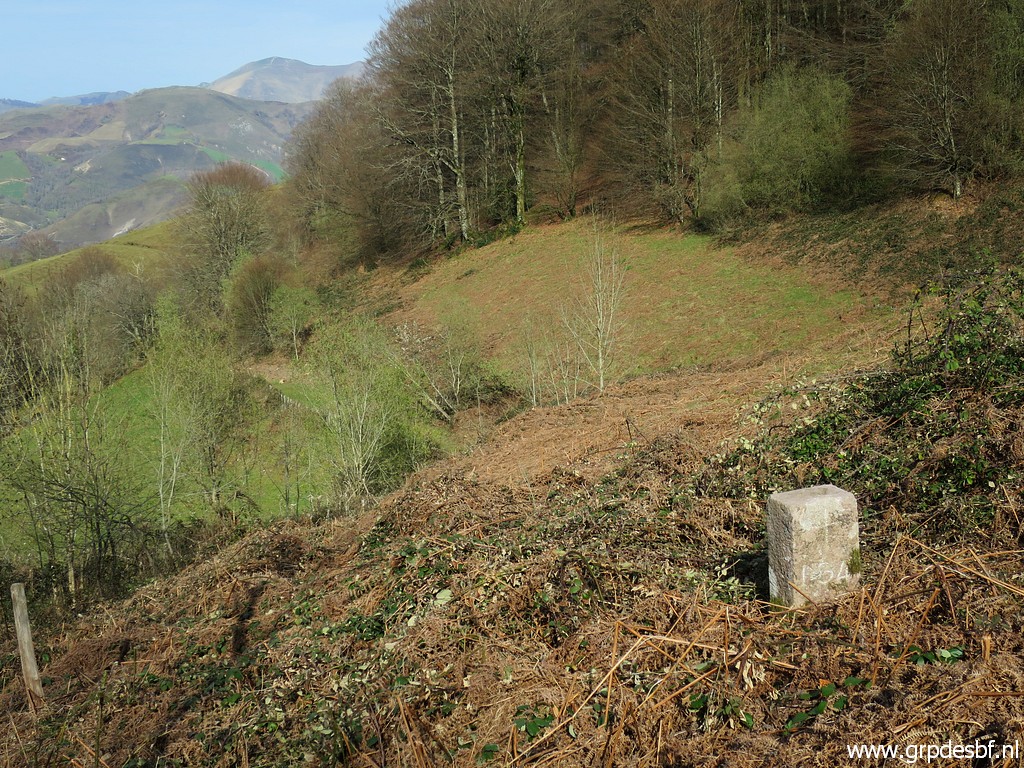
 | to reach bm134. In summertime this will be a little jungle. (click photo to enlarge) |
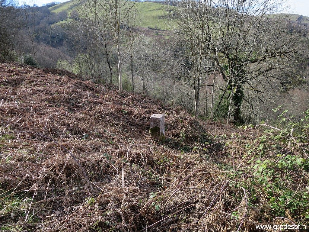
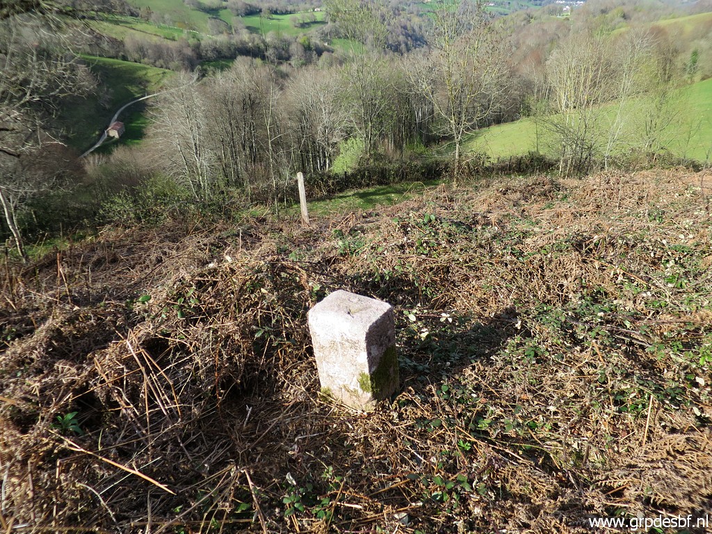 | Bm134 (click photo to enlarge) |
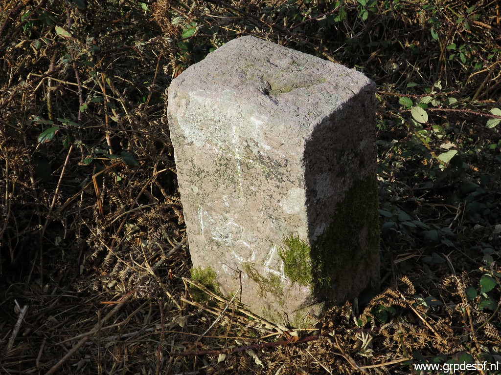 | Bm134 (click photo to enlarge) |
 | Bm134 (click photo to enlarge) |
 | Bm134 (click photo to enlarge) |
 | Bm134, looking in the direction where I came from. (click photo to enlarge) |
 | Then climbing straight uphill (no trail) which can be a tough job in summertime. Then it will be more practical to use the forest to ascend. After passing this cabin, (click photo to enlarge) |
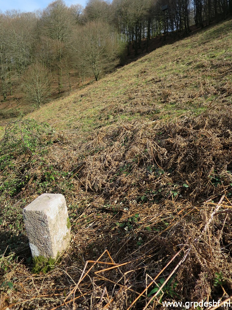
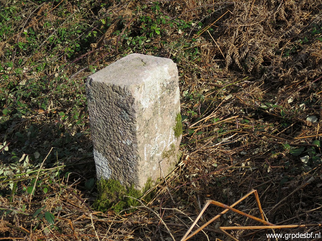
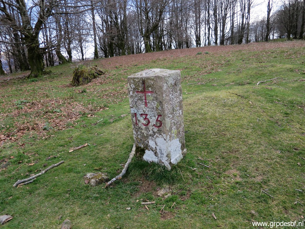 | I arrive at bm135. (click photo to enlarge) |
 | Bm135 (click photo to enlarge) |
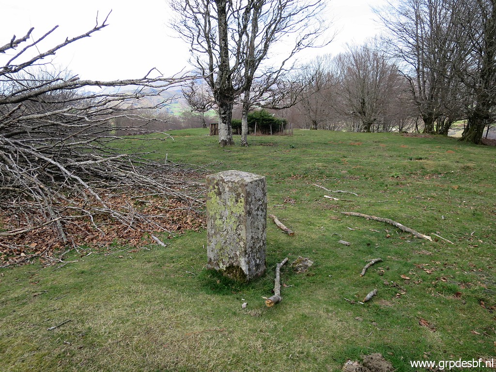 | Bm135 (click photo to enlarge) |
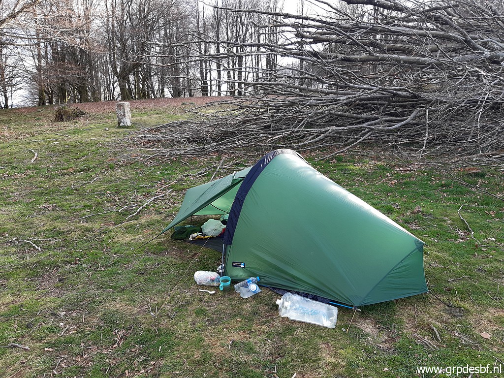 | My shelter for the night, bm135 in the background. At night, a very strong wind rises. (click photo to enlarge) |