|
The
bordermarkers of the Pyrenees : all my trips
 |
|
| -
saturday 9 april
2022 - Redoing bm091-109 |
 |
 |
Summary:
part of a series of 10 daytrips in april 2022 in the Basque country,
mainly redoing bm085 to 197. This is day 2. Today: first day of three days of backpacking along bm091 to 144. Today getting as far as bm109. Weather: heavily clouded, sunshine in the afternoon. |
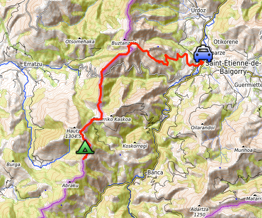
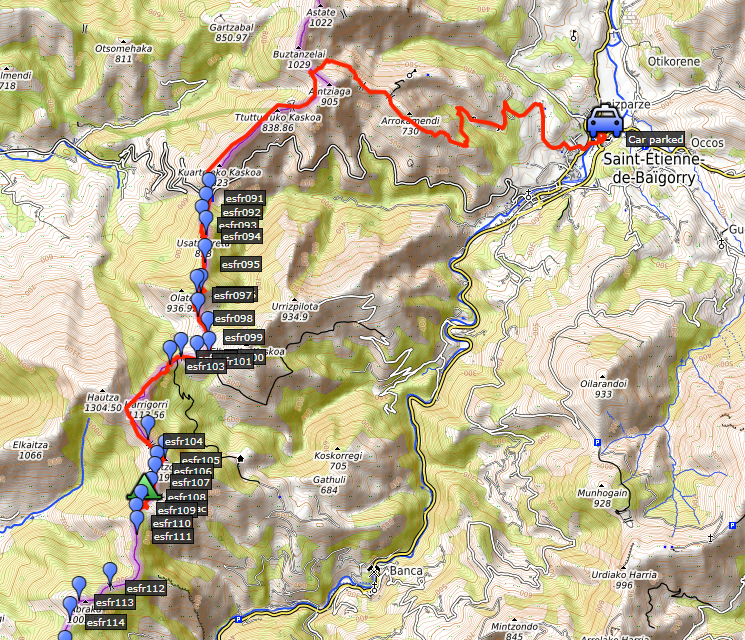 track-20220409.kml
(click to open this trip in Google Earth or copy link to Google Maps; click right on this link to download gpx-version). The gps-track has not been manually corrected which explains the inaccuracy and misalignment at some points. For cartographic backgrounds: see the cartography-page Gps-waypoints of all bordermarkers (most recent version): kml: esfr-bordermarkers-all-waypoints.kml gpx: esfr-bordermarkers-all-waypoints.gpx (with elevation added by gpsvisualizer.com) |
|
 |
According to Garmin
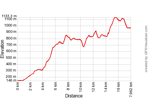
Basecamp (uncorrected track with elevation added by Gpsvisualizer.com): Distance: 15,3km Max-height: 1133m Min-height: 146m Elevation: +1744m -927m Total elevation: 2671m Start 9:49 Finish 18:23 Total time: 8:34 |
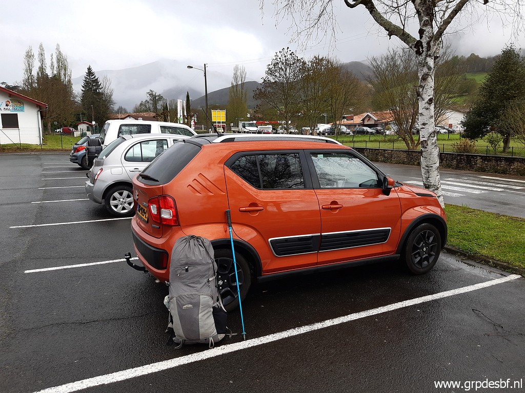 | In the early morning a drive from Bayonne to Saint-Étienne-de-Baïgorry. That's where I park my car for a few days. (click photo to enlarge) |
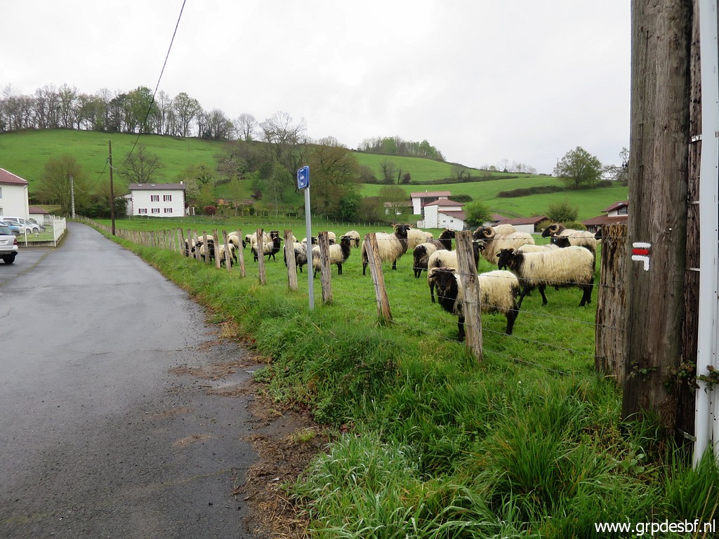 | I pick up the GR10-trail (click photo to enlarge) |
 | which climbs into (click photo to enlarge) |
 | the hills and (click photo to enlarge) |
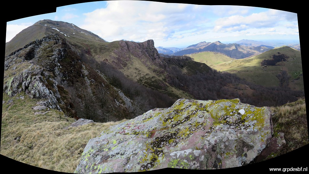
 | passes a rocky area (click photo to enlarge) |
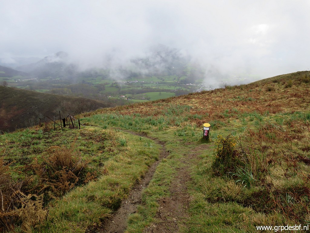
 | to arrive at (click photo to enlarge) |
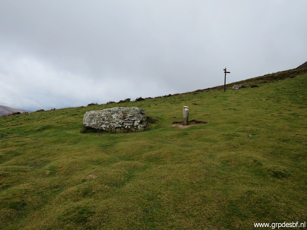
 | Col de Buztanzelhay. It took me much longer than I thought before. (click photo to enlarge) |
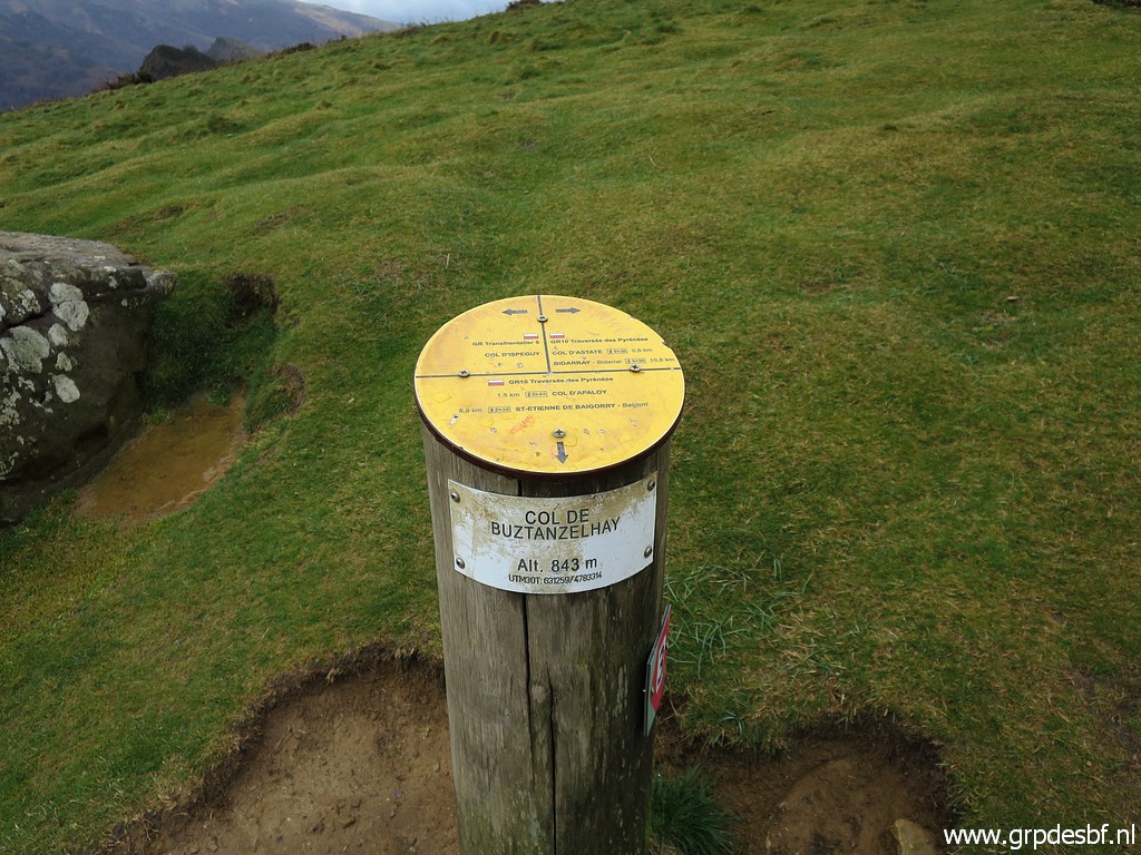
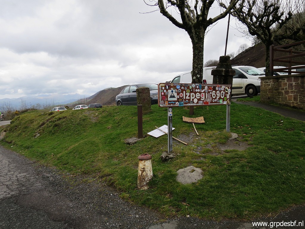
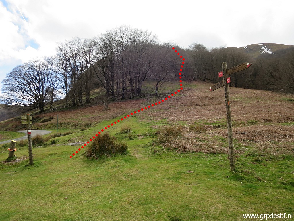
 | Here I go left, towards Col d'Ispeguy. (click photo to enlarge) |
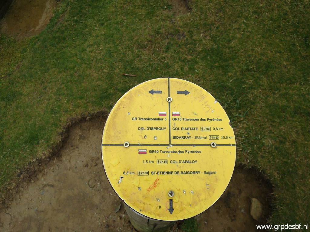
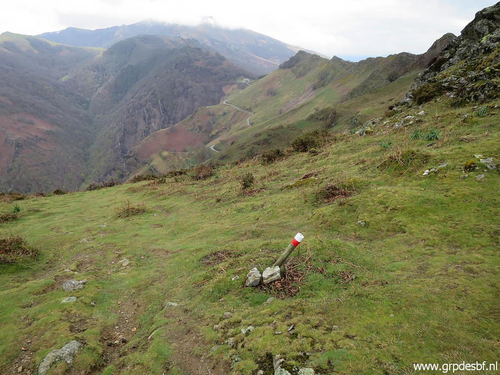
 | This picture showing roughly the trail to follow, waymarked red-white of an unknown route. (click photo to enlarge) |
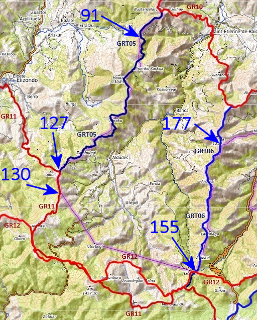 |
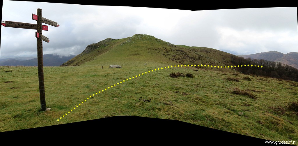
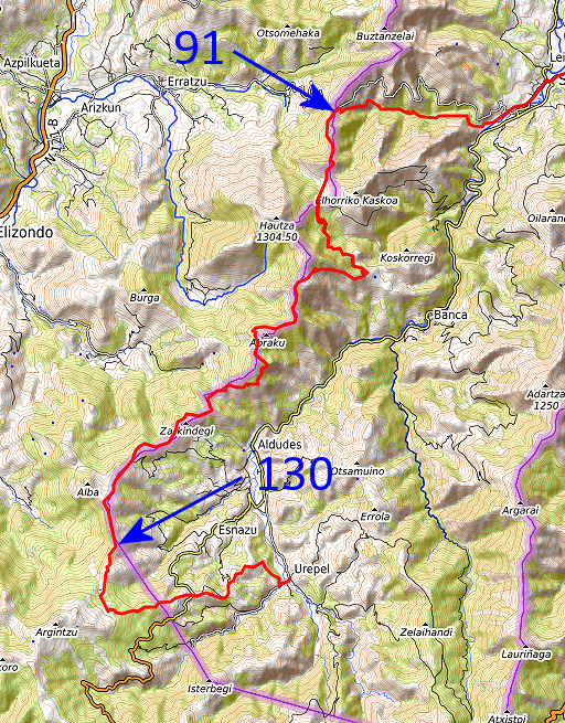
Much later - back at home, a little googling makes things much clearer. This annotated picture is derived from this webpage. The GRT-trails are 'Grandes Randonnées Transfrontalieres', connecting the French GR10 with the Spanish GR11. In this case they help us to navigate from bm091 to 130 and from bm155 to 177. Another interesting feature: from bm130 to 155, the GR11 and GR12 could serve as an alternative for my main GRPdesBF-route. The bordermarkers between bm130 and 155 are covered by a variant. |
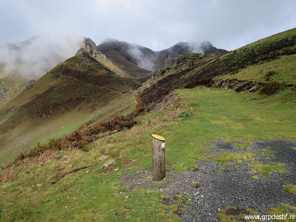
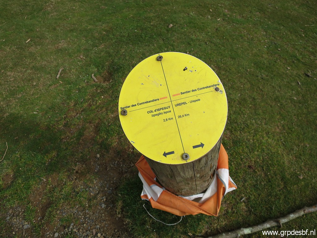
 | Arriving at this point with (click photo to enlarge) |
 | (zoom-in) a view to Col d'Ispeguy. (click photo to enlarge) |
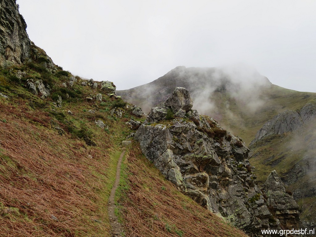
 | The trail takes the west-side of the ridge (click photo to enlarge) |
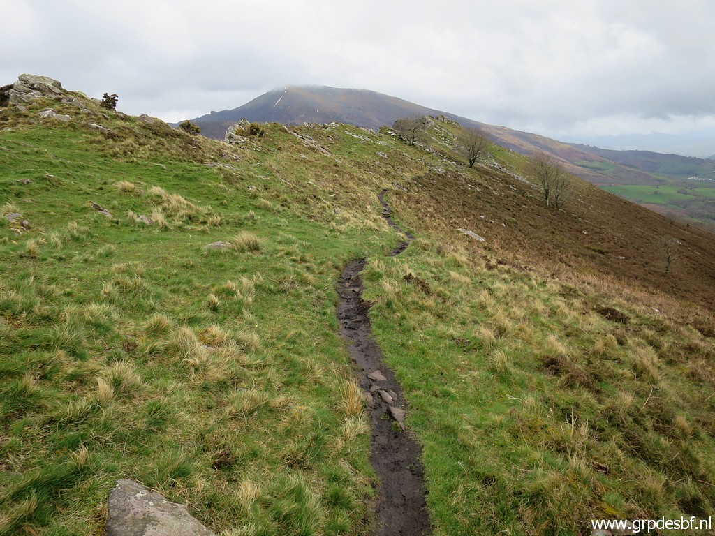 | and descends to Col d'Ispeguy. It's slippery now and then, after a night of rain, and the track being much more trodden than 10 years ago. (click photo to enlarge) |
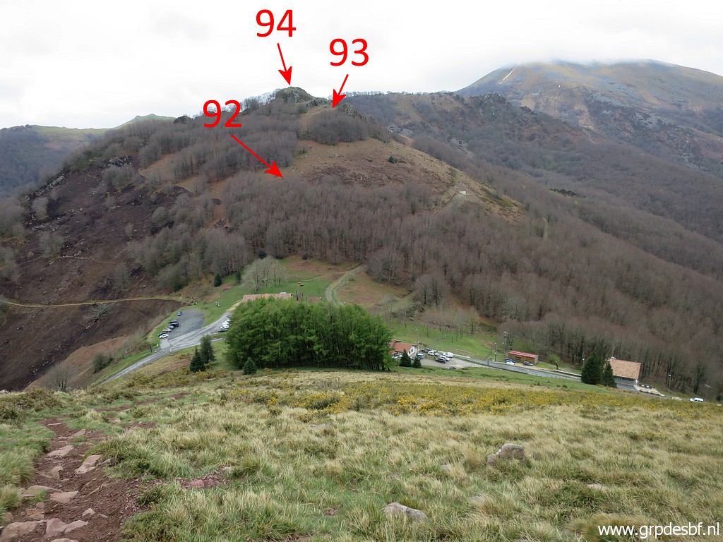 | Getting close to Col d'Ispeguy with the next bordermarkers indicated. (click photo to enlarge) |
 | But first bm091 at Col d'Ispeguy itself. (click photo to enlarge) |
 | Bm091 (click photo to enlarge) |
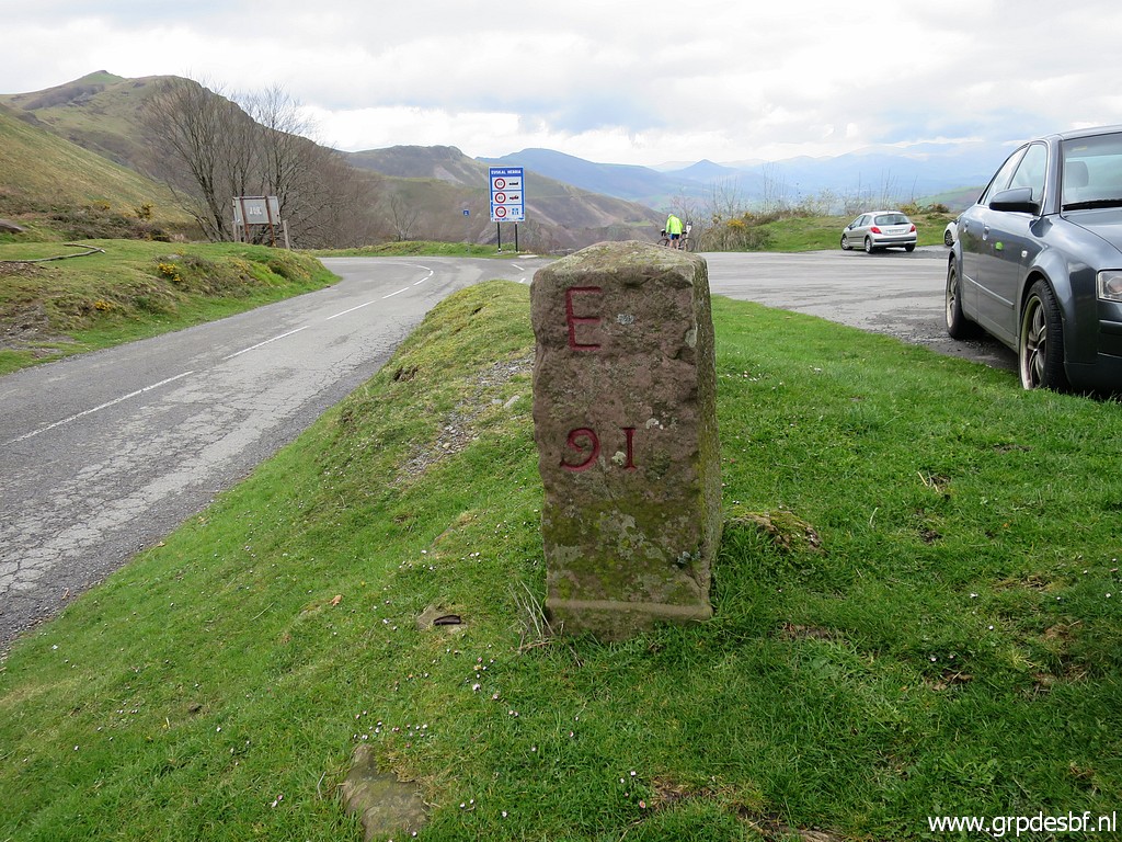 | Bm091 (click photo to enlarge) |
 | Bm091 (click photo to enlarge) |
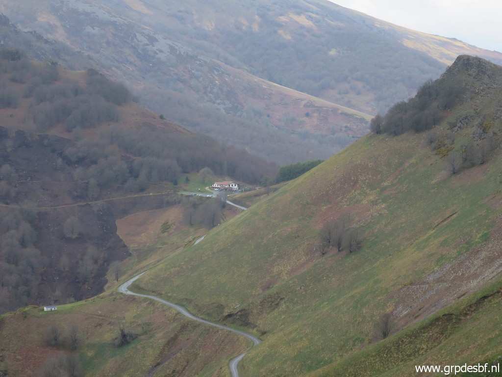
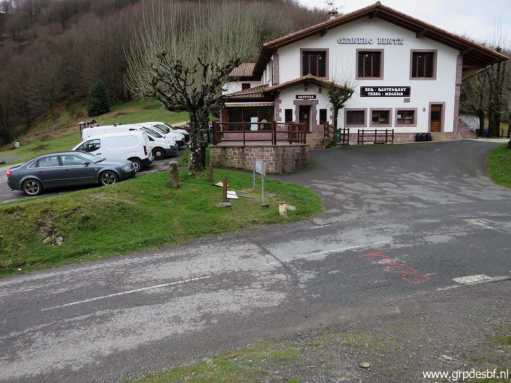
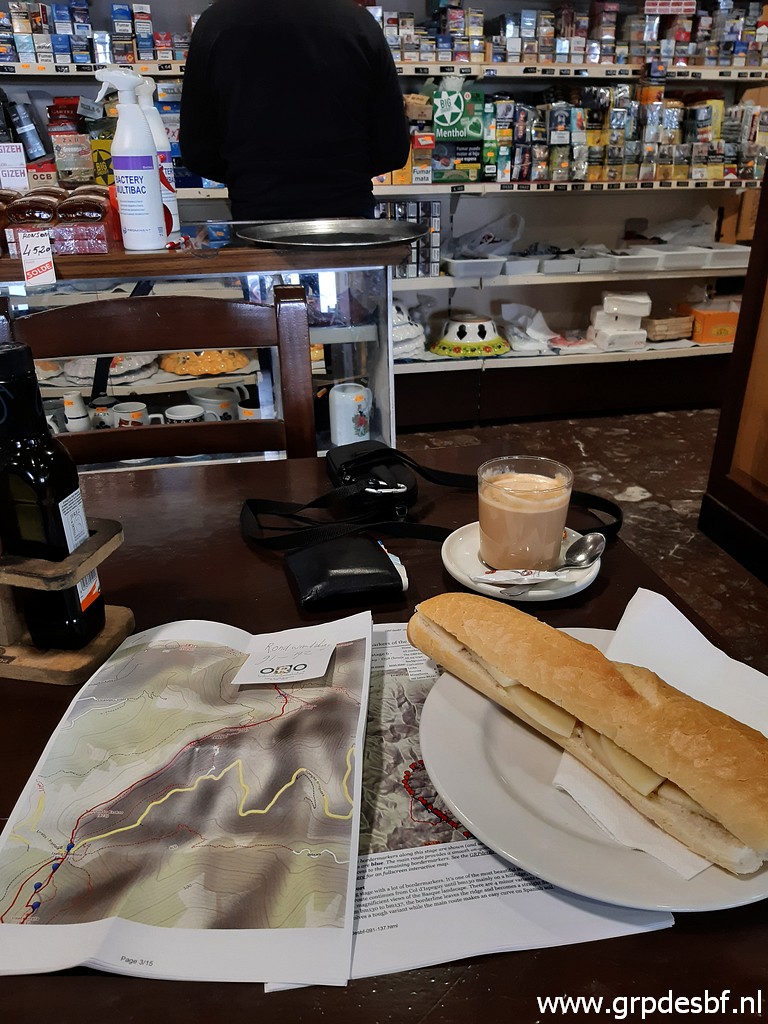 | The trip is more tiring than I am used to. I am not 100% fit, probably a bit of influenza. Anyway: time for a lunch-break in the Venta. (click photo to enlarge) |
 | At the back of the venta, it's going straight ahead, climbing through a steep forest. (click photo to enlarge) |
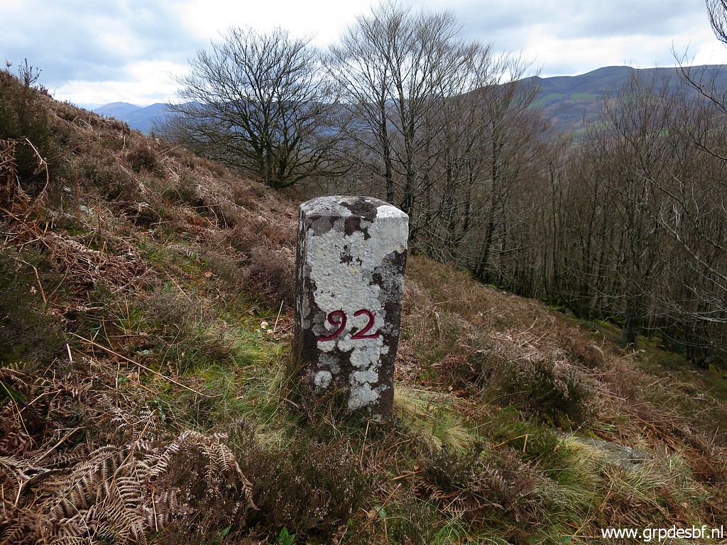
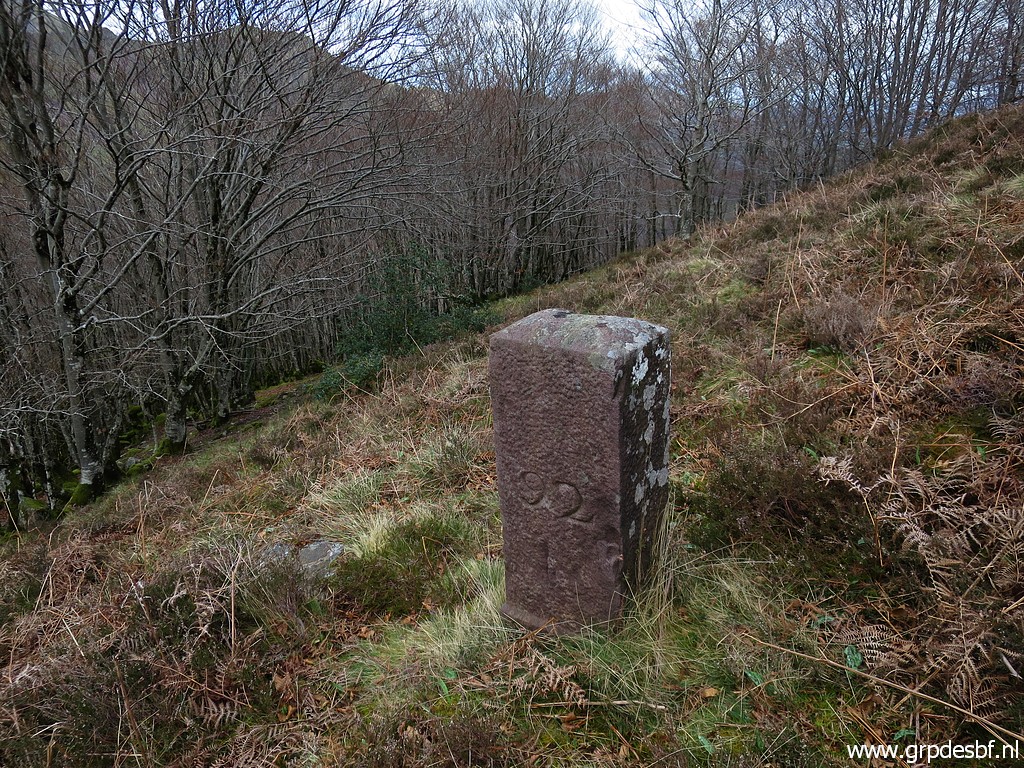
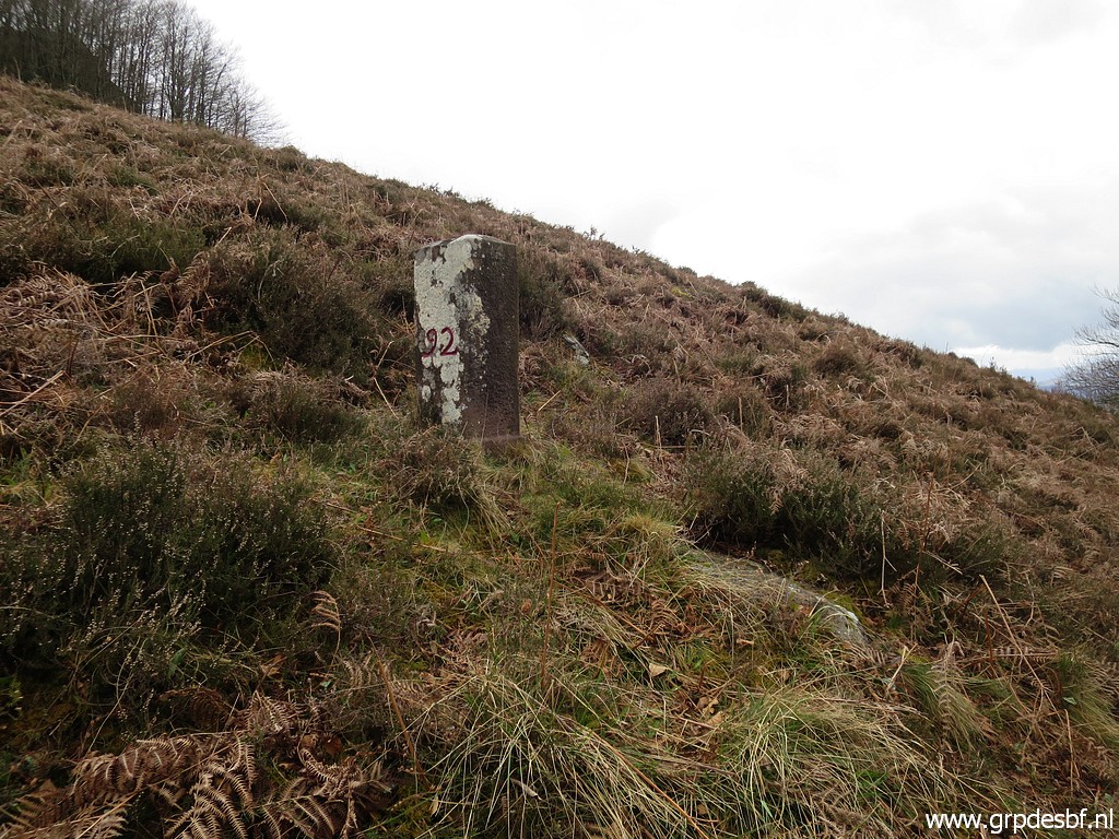 | Above the forest: bm092 (click photo to enlarge) |
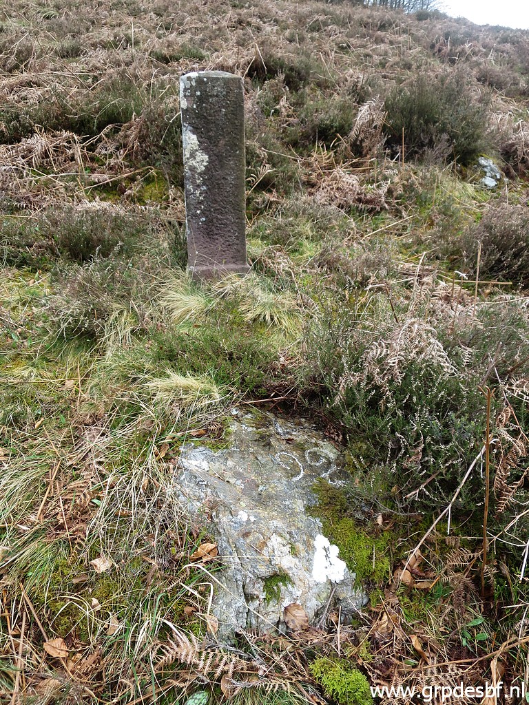 | Bm092 with cross 92 at its feet. (click photo to enlarge) |
 | Bm092 (click photo to enlarge) |
 | Bm092 (click photo to enlarge) |
 | Not far away, the damaged bm093, (click photo to enlarge) |
 | reassembled as far as possible. (click photo to enlarge) |
 | Bm093 (click photo to enlarge) |
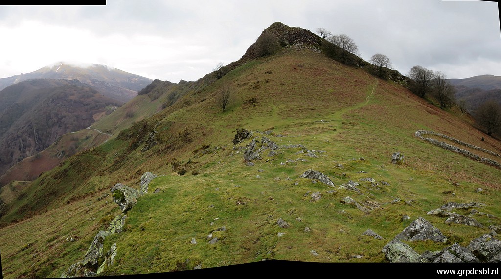
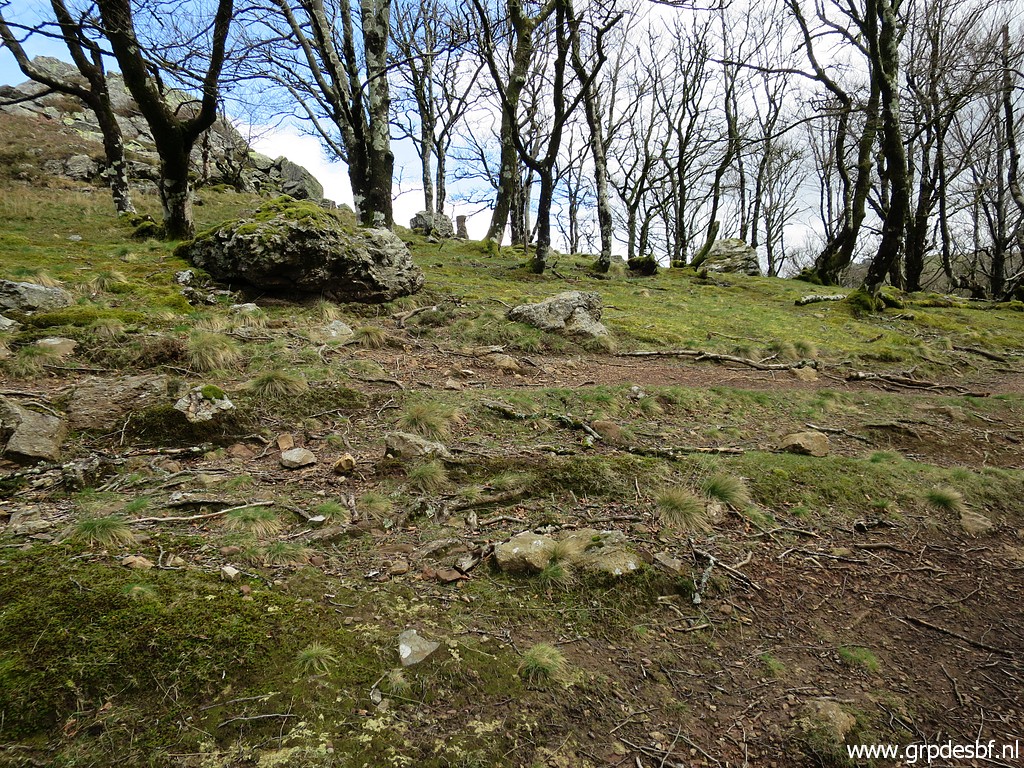
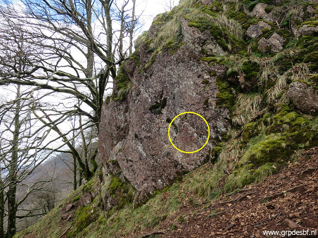
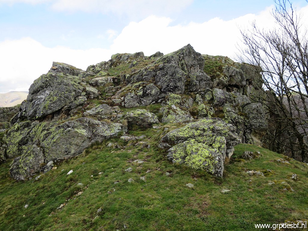 | Then climbing to the hilltop (click photo to enlarge) |
 | with this rock on its summit (click photo to enlarge) |
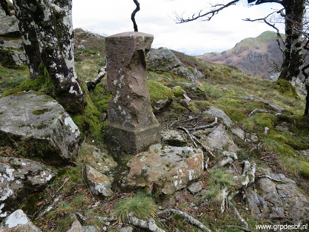
 | with the bordercross bm094. (click photo to enlarge) |
 | Bm094 (click photo to enlarge) |
 | Bm094 (click photo to enlarge) |
 | Bm094, looking south. (click photo to enlarge) |
 | Then continuing south (click photo to enlarge) |
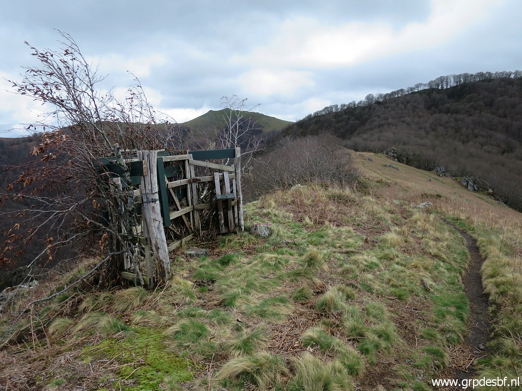
 | and
arriving at this junction of two paths: the one on which I come from
bm094 and an orange waymarked trail coming from Col d'Ispeguy But what is this orange waymarked trail? (click photo to enlarge) |
 |
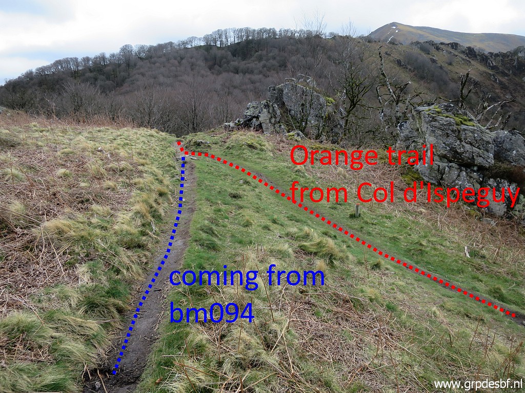
It is the 'Sentier des Contrabandiers' I found this link to this trail and the stage along the border on this page and this page. I show here the relevant part for today and for tomorrow. Much of this trail will coincide with my route of today and tomorrow. |
 | Same junction, seen from the other side. The red trail (orange waymarked) is the easy trail coming from Col d'Ispeguy and is part of the main route of my GRPdesBF-trail. (click photo to enlarge) |
 | Further on, bm095 is standing ± 30m left of the trail. (click photo to enlarge) |
 | Bm095 (click photo to enlarge) |
 | Bm095 (click photo to enlarge) |
 | Bm095 (click photo to enlarge) |
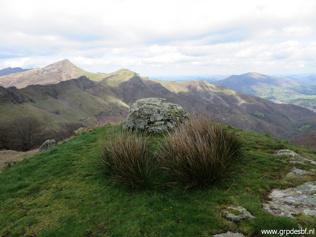
 | The trail (orange waymarked) climbs to a sort of pass (click photo to enlarge) |
 | with this view ahead. (click photo to enlarge) |
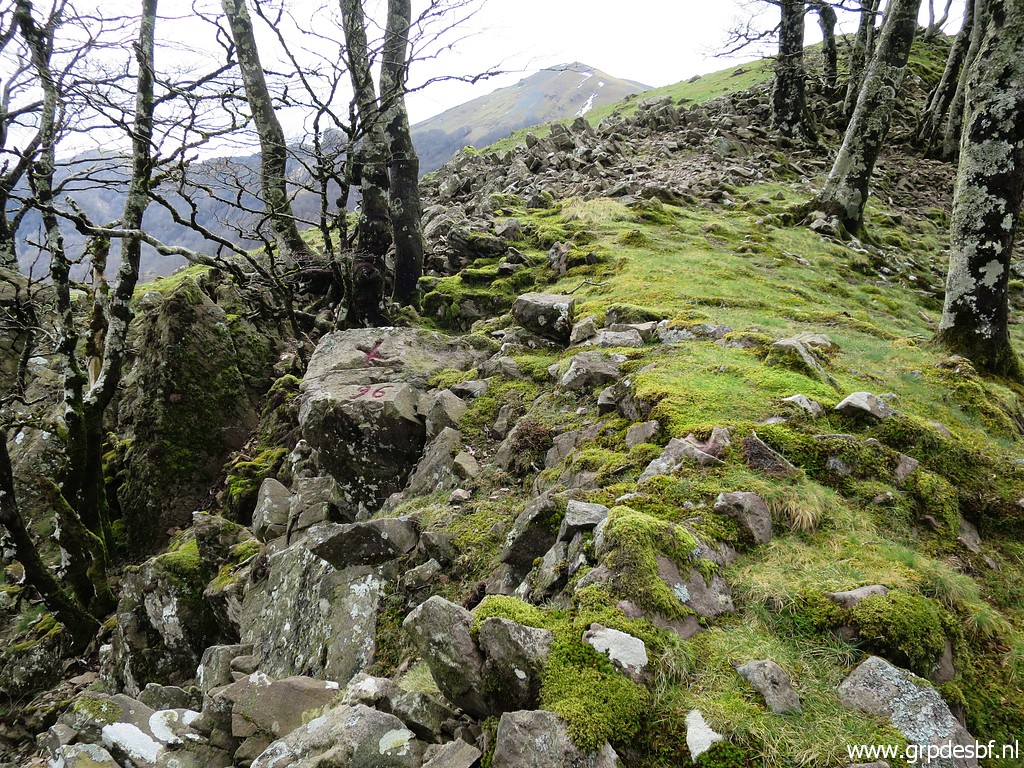 | But I go first right to do bm096 (and bm097). (click photo to enlarge) |
 | Bm096 (click photo to enlarge) |
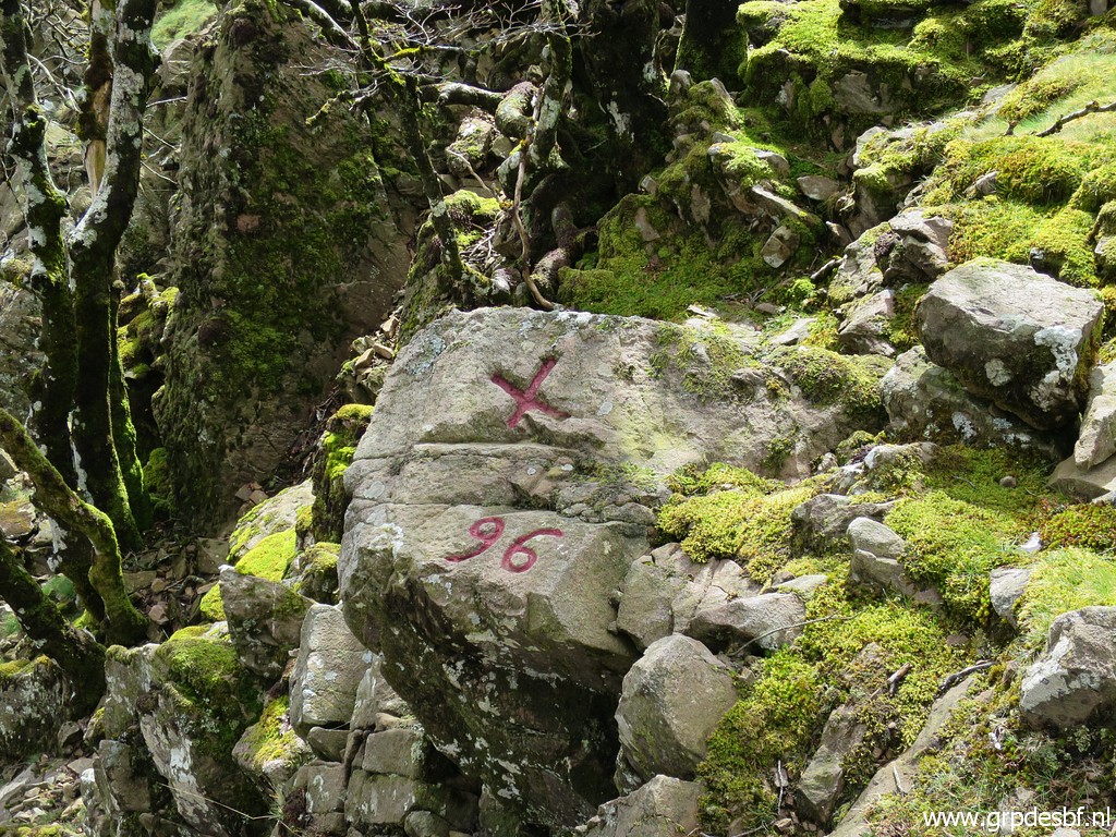 | Bm096 (click photo to enlarge) |
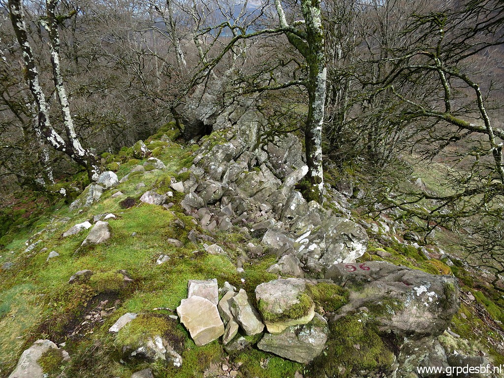 | Bm096, looking back (click photo to enlarge) |
 | Further on at the ridge bm097. (click photo to enlarge) |
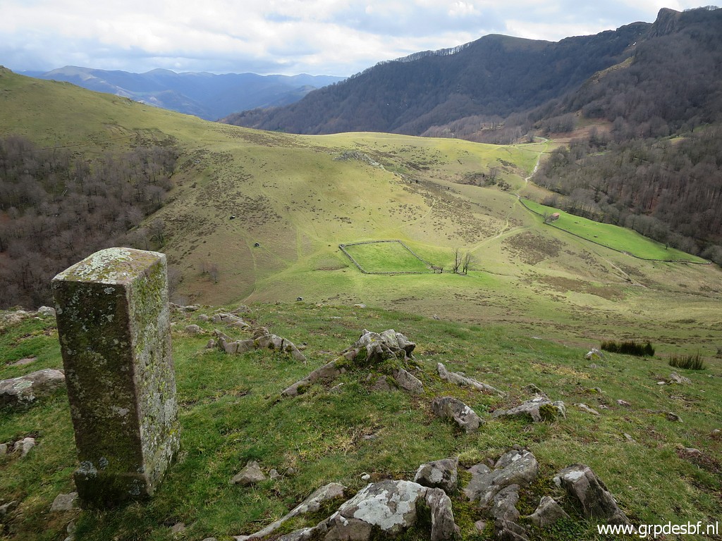 | Bm097, the border descends into the valley to the square meadow. (click photo to enlarge) |
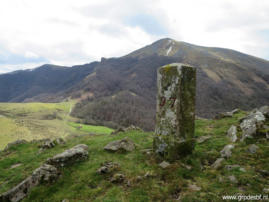 | Bm097 (click photo to enlarge) |
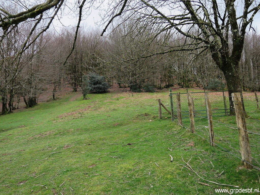
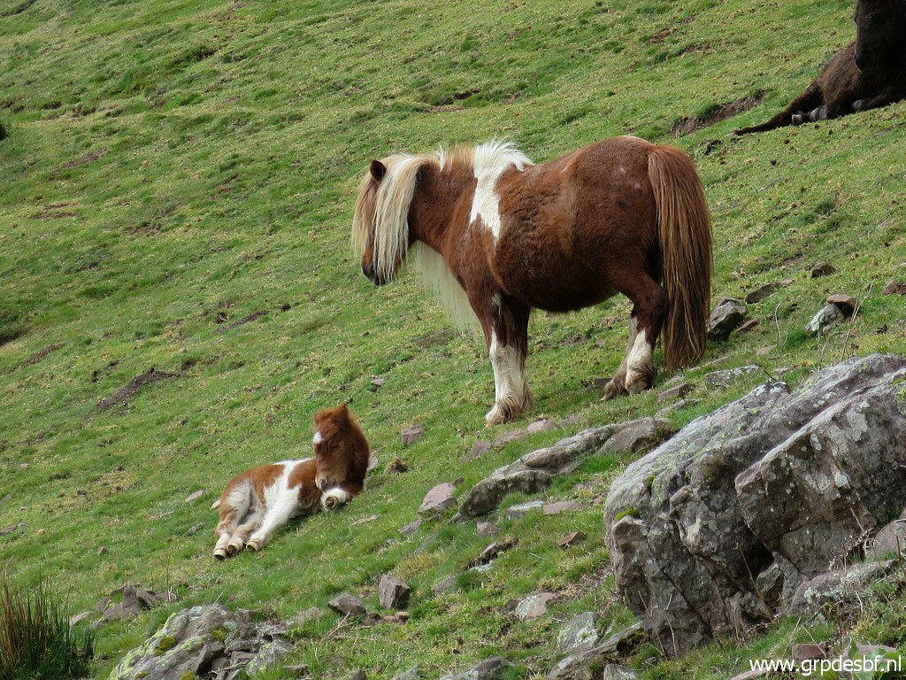 | Peaceful scene in between. (click photo to enlarge) |
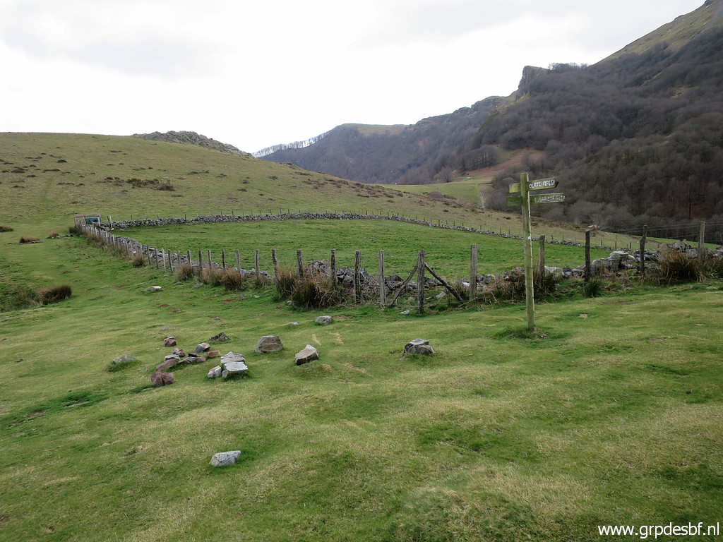 | Arriving at the NE-corner of the square meadow. (click photo to enlarge) |
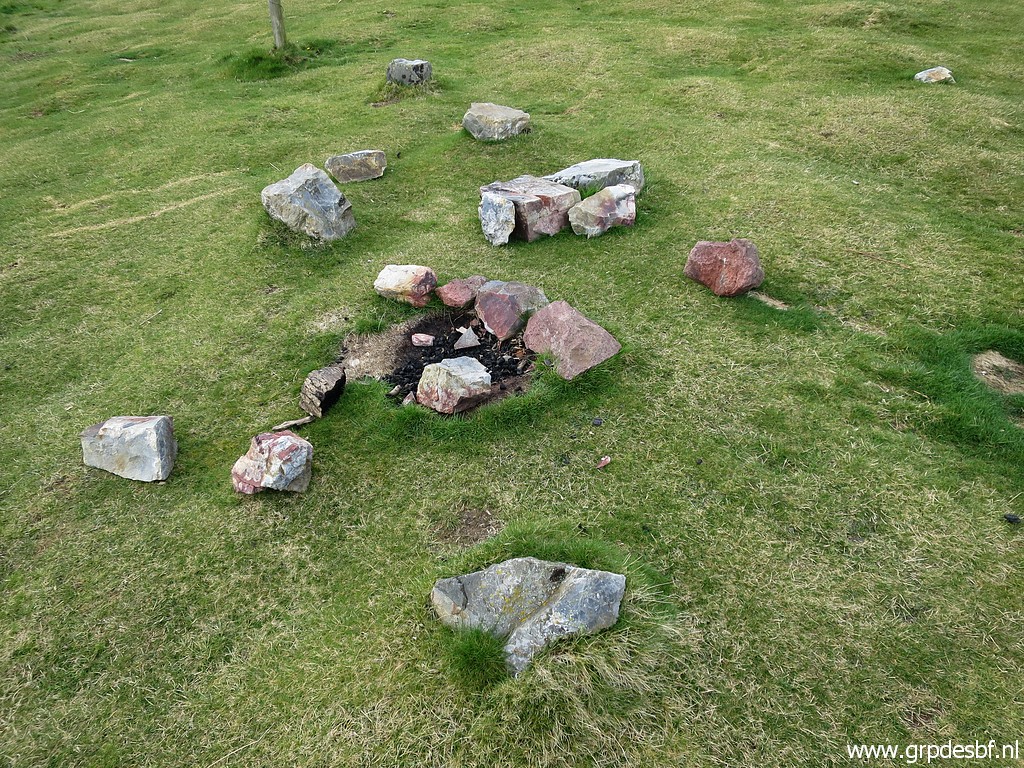 | That is where I remember the shattered pieces of bm098 are still present. (click photo to enlarge) |
 | I even find a part of the original marker with the groove at the top which indicates the direction of the borderline. (click photo to enlarge) |
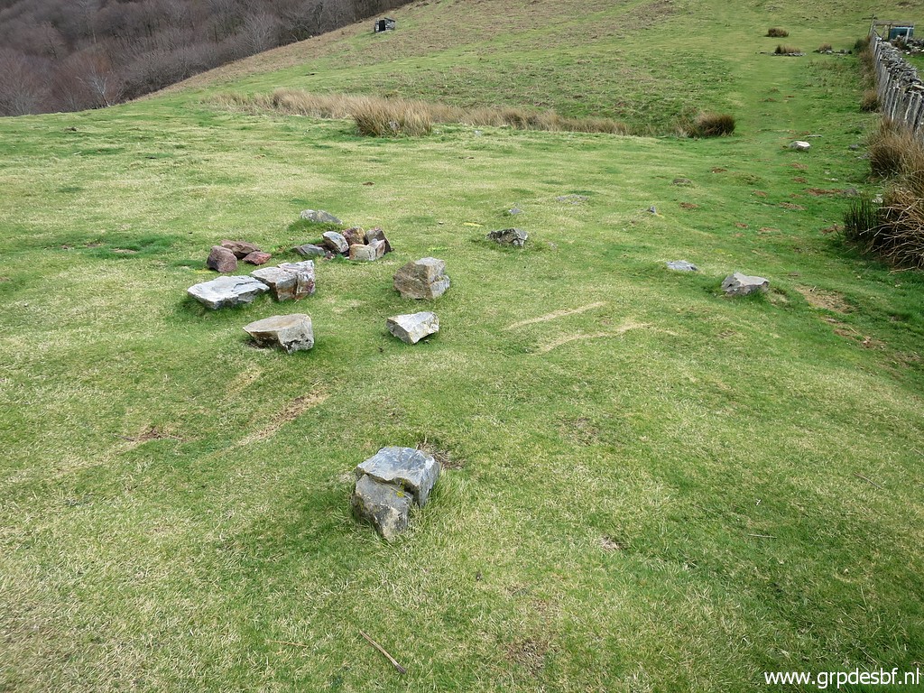 | But I am wrong when I check my gps. Bm098 is in the bunch of grass in the background (click photo to enlarge) |
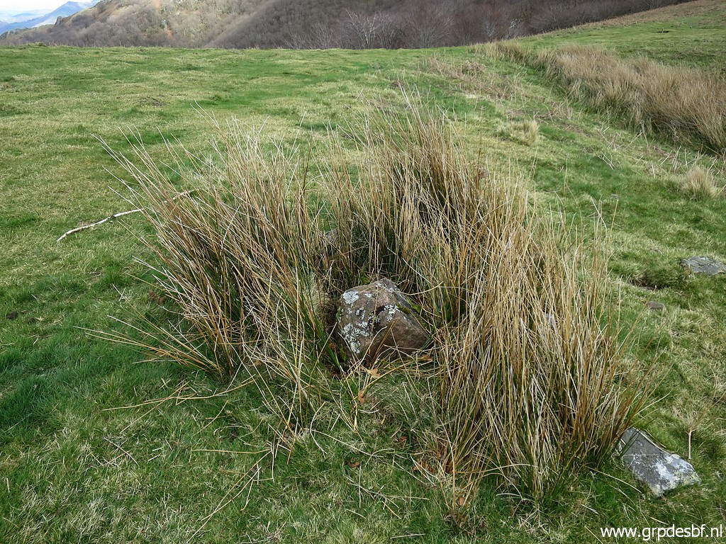 | where the foot of it can still be found. (click photo to enlarge) |
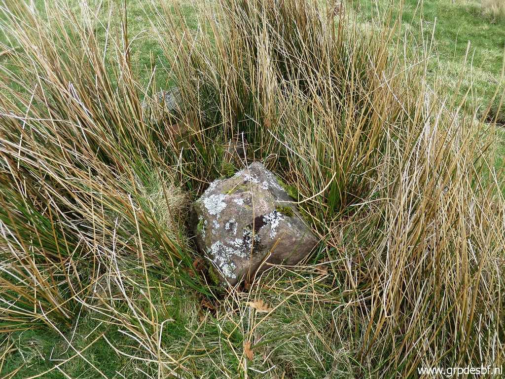 | Bm098 (click photo to enlarge) |
 | Bm098 (click photo to enlarge) |
 | I reunite the foot with the bits and pieces presumed to be original which I found earlier. (click photo to enlarge) |
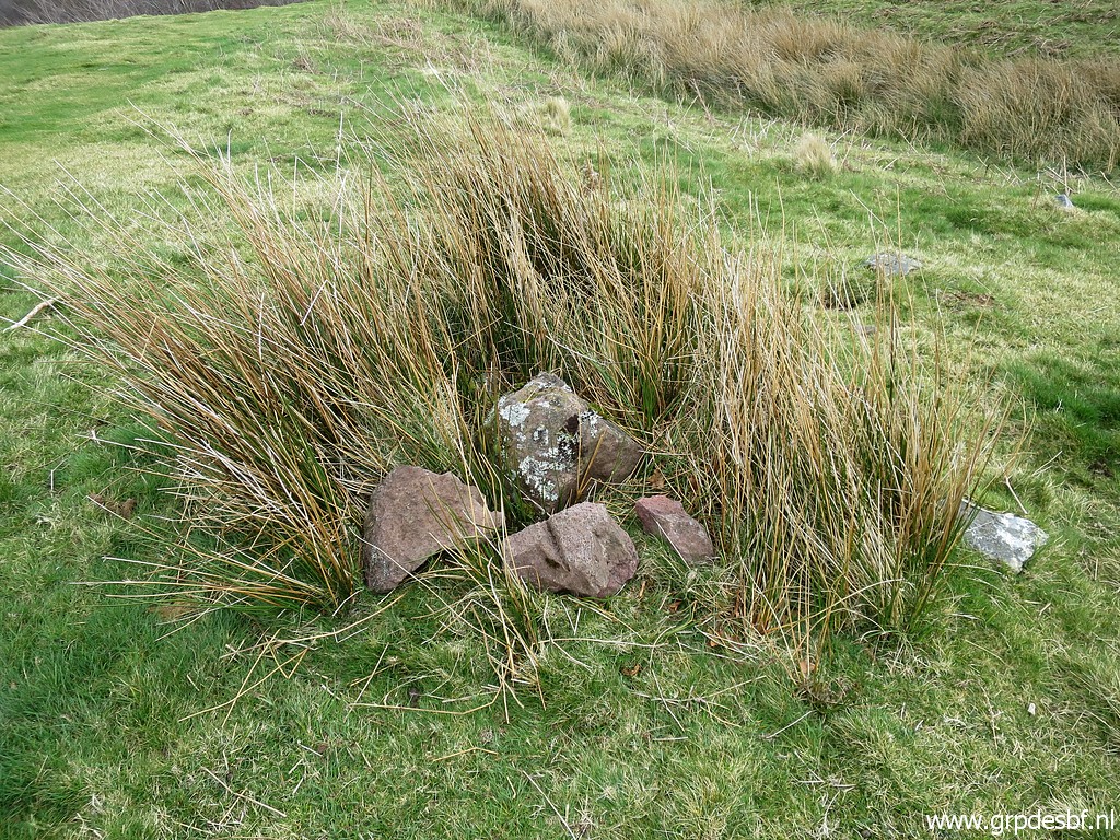
 | Then to bm099 (click photo to enlarge) |
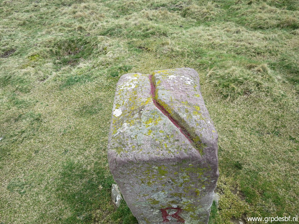 | with the groove at the top which indicates the course of the borderline. (click photo to enlarge) |
 | Bm099 (click photo to enlarge) |
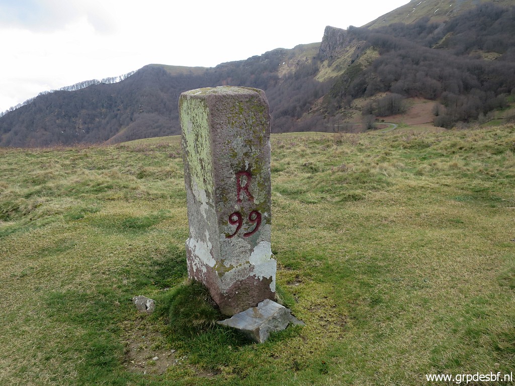 | Bm099 (click photo to enlarge) |
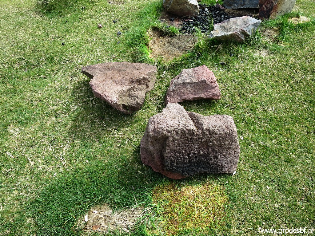
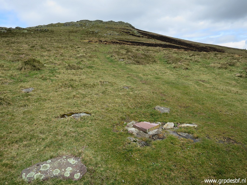 | Then a big and disappointing surprise: bm100 has disappeared. (click photo to enlarge) |
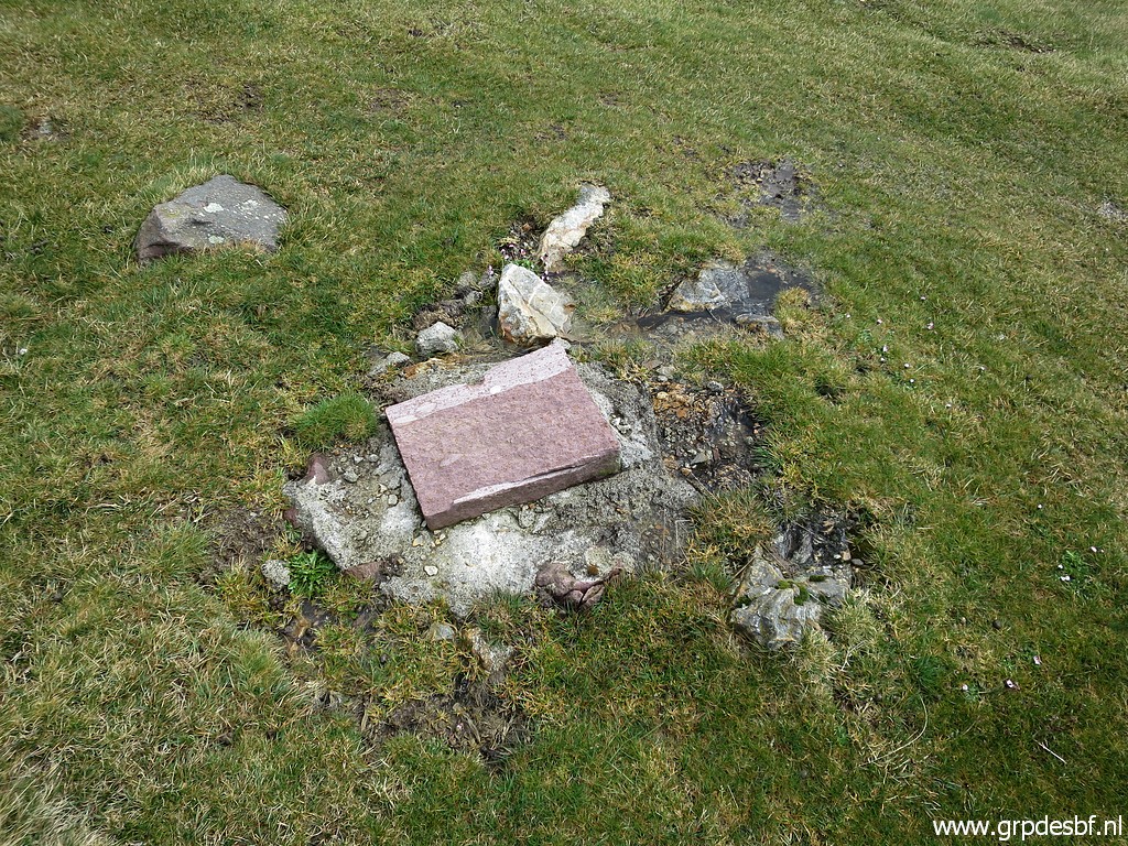 | It has been broken or sawn off. (click photo to enlarge) |
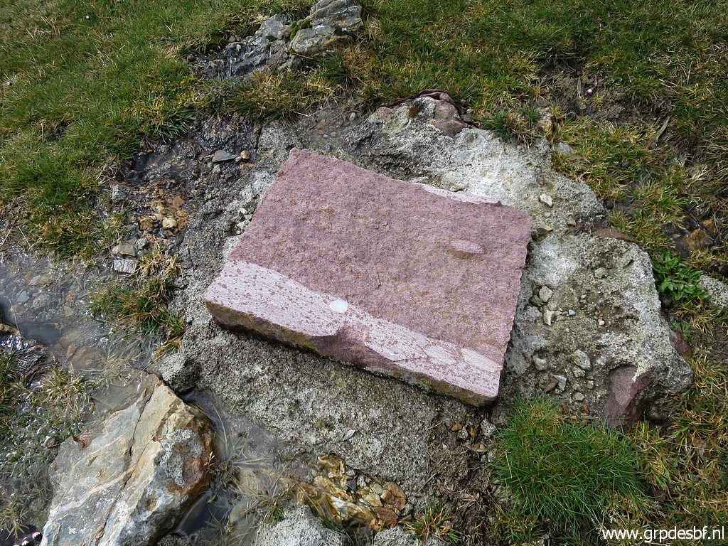 | Note the white edge. According to Carlos Roca that's the part where a saw has been used. After that a crowbar might have been used to do the rest of the job. (click photo to enlarge) |
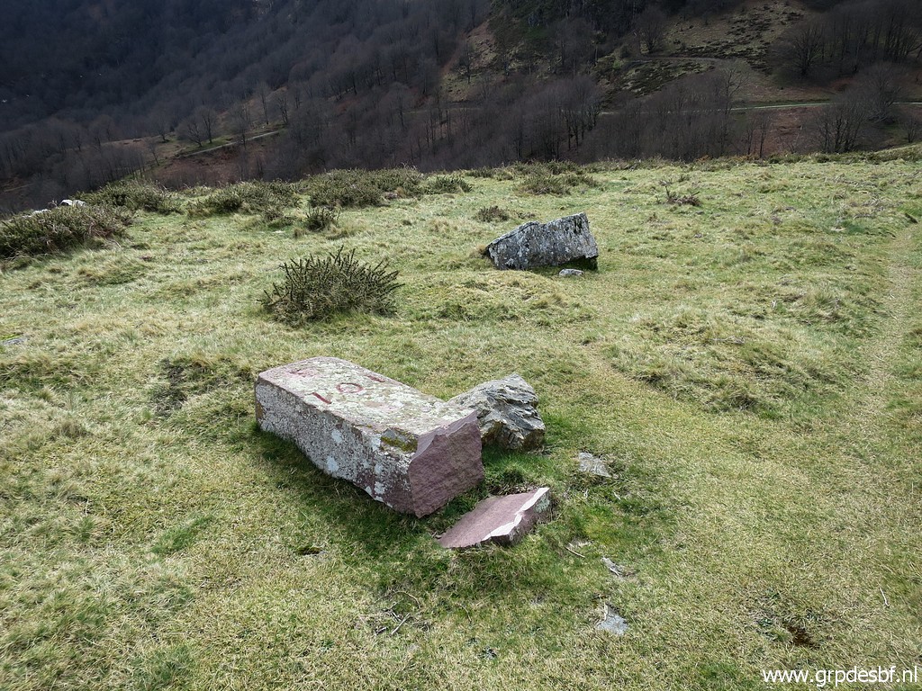 | Then to bm101: it's still there but also broken off. (click photo to enlarge) |
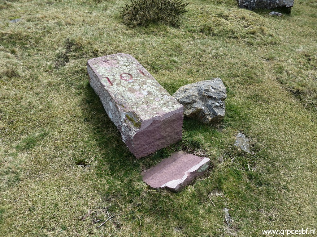 | Bm101 (click photo to enlarge) |
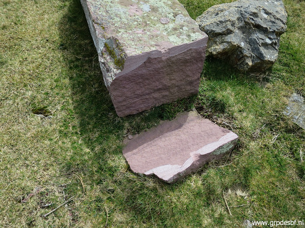 | Bm101, again a whitish edge visible. (click photo to enlarge) |
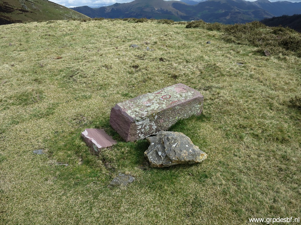 | Bm101 (click photo to enlarge) |
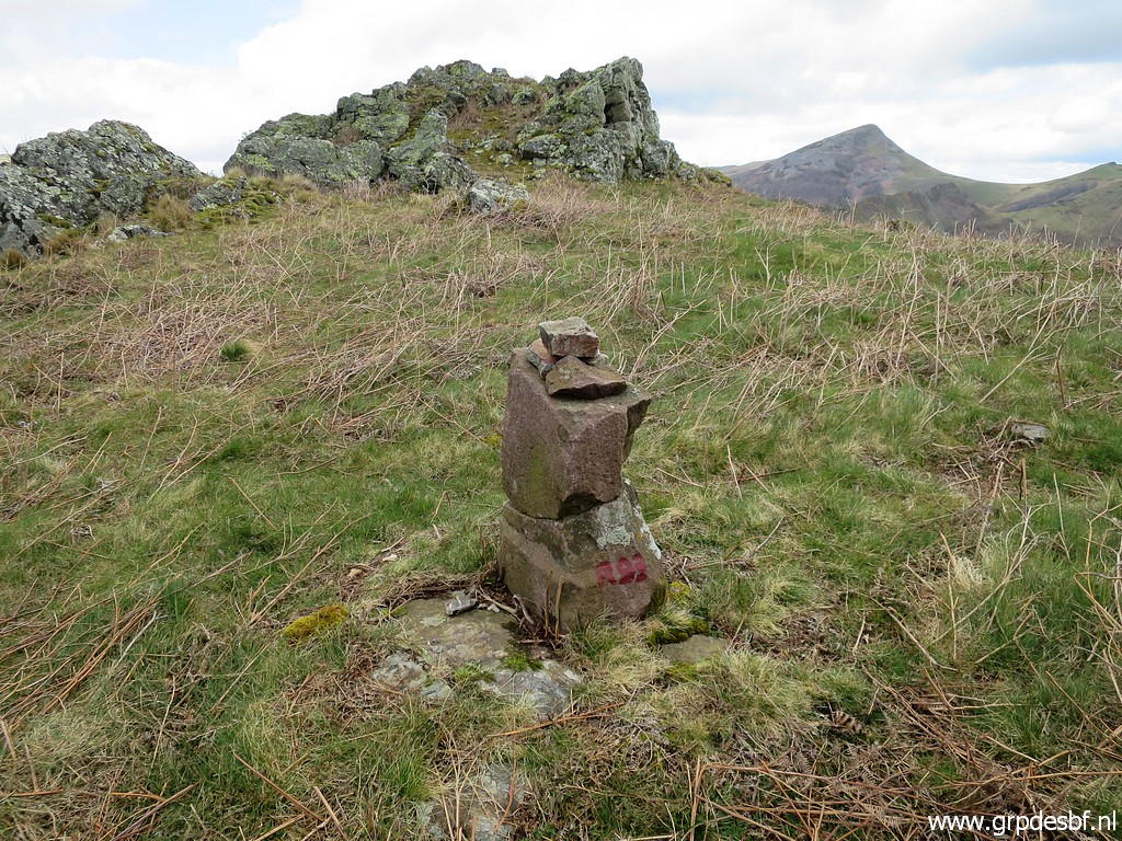
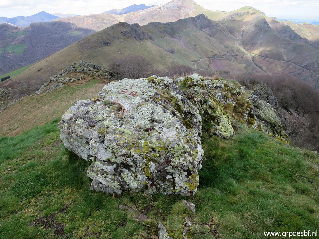
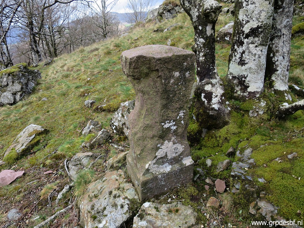
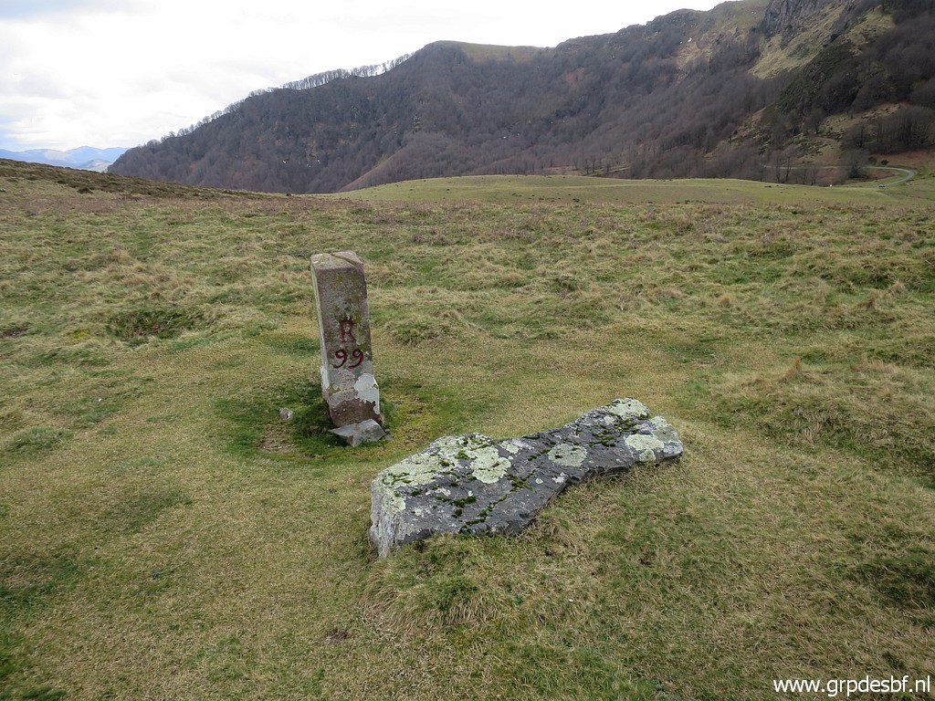
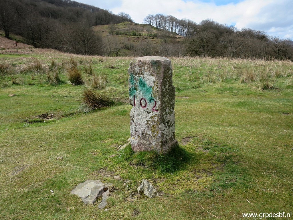 | A bit further: bm102 (click photo to enlarge) |
 | Bm102 (click photo to enlarge) |
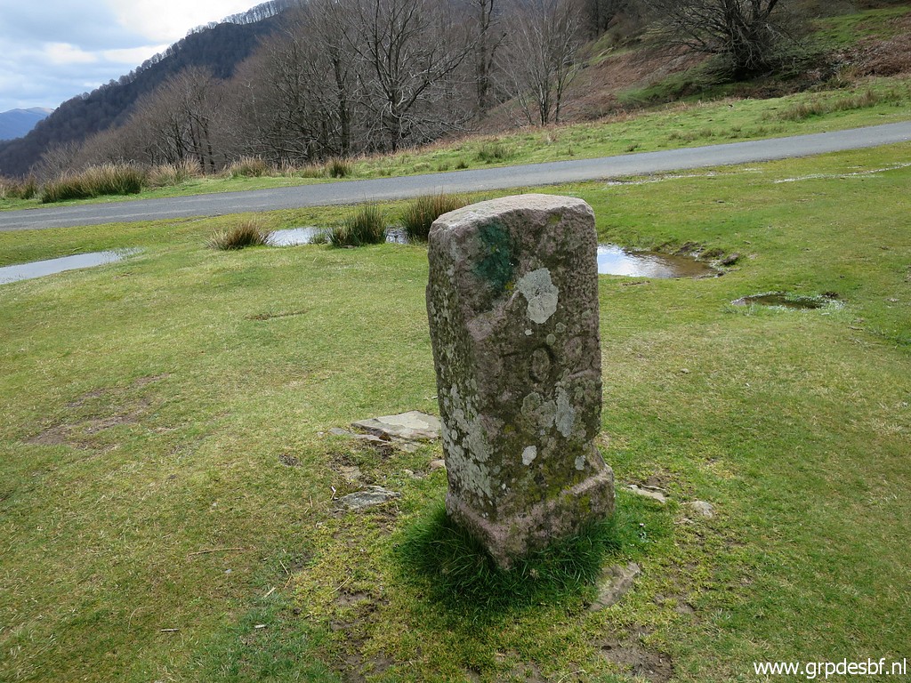 | Bm102 (click photo to enlarge) |
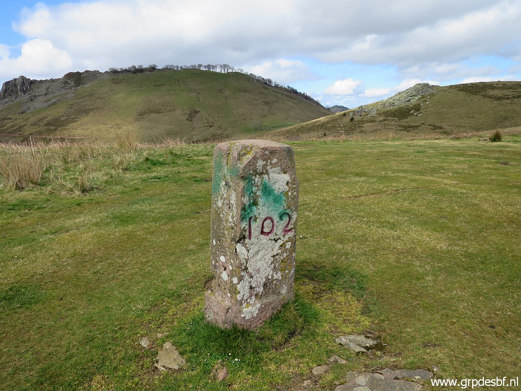 | Bm102 (click photo to enlarge) |
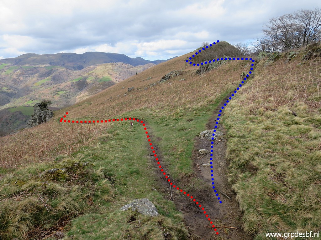
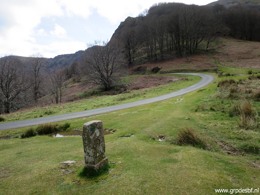
 | I have made a semi-circle from bm098 to bm102 and now the borderline heads to the forest. (click photo to enlarge) |
 | We are still - in general - on the orange trail (sentier des contrebandiers) and I see Urepel is the terminus. But the orange trail now makes a big detour to arrive much later bm109. (click photo to enlarge) |
 | Also present: a white/red-waymarking. and that's the one I can follow now. (click photo to enlarge) |
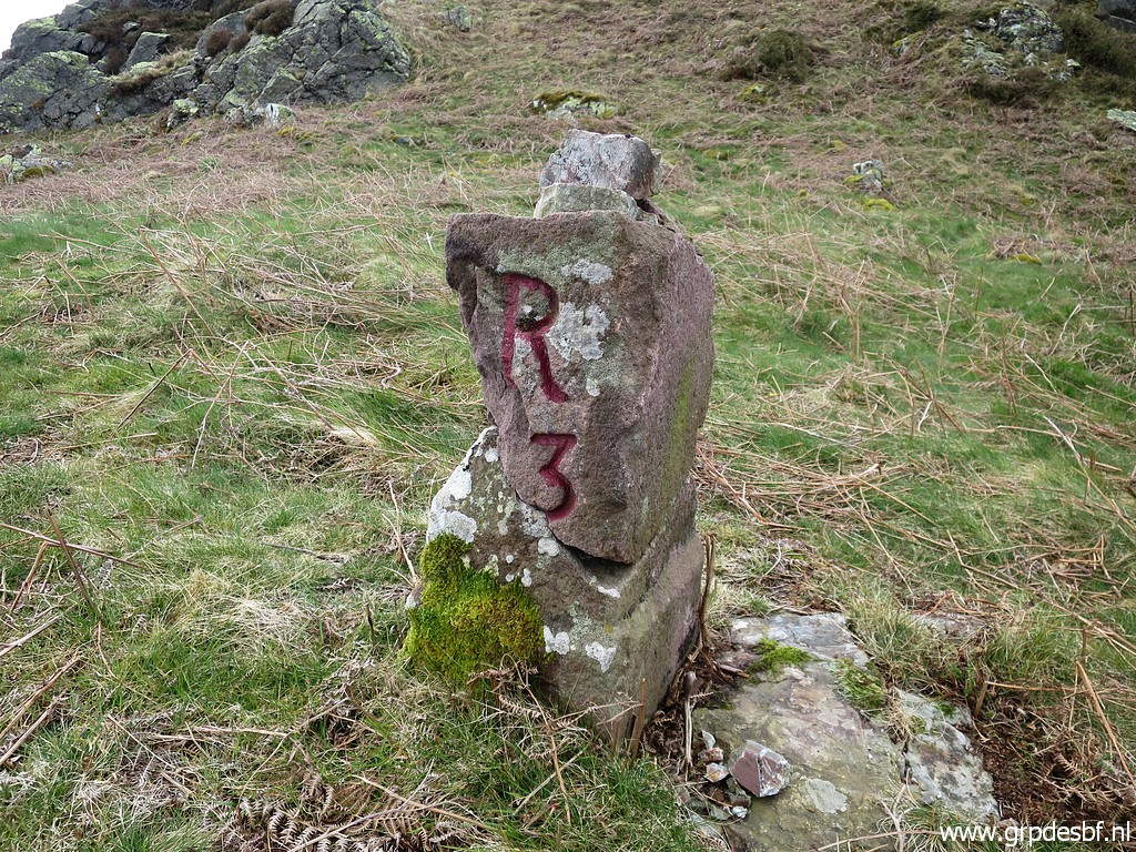
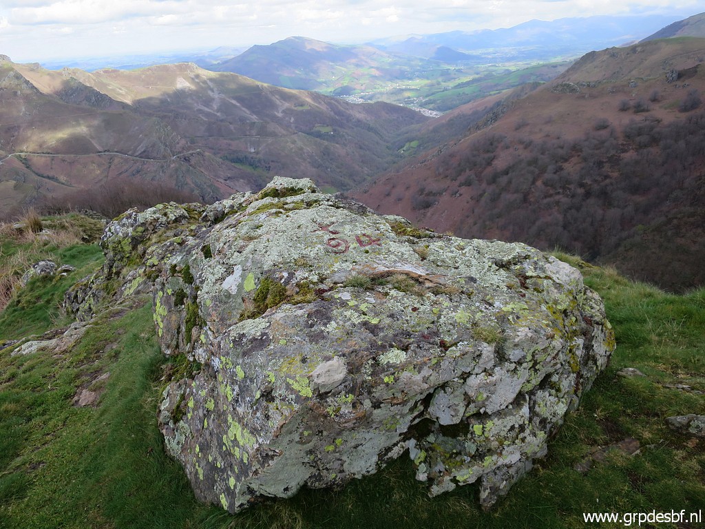
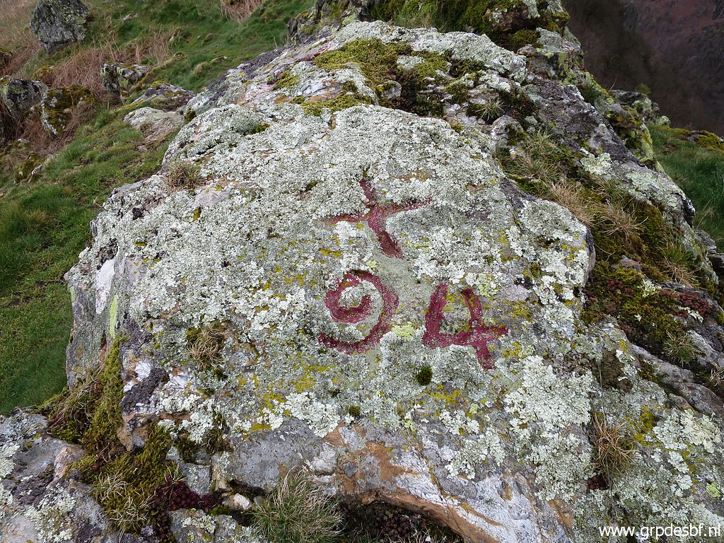
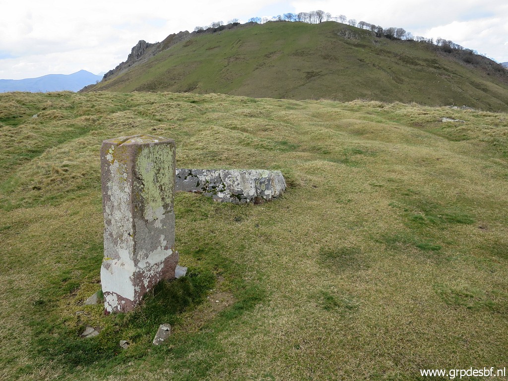
 | Bm103 is a cross and about 50m to the S of the trail. (click photo to enlarge) |
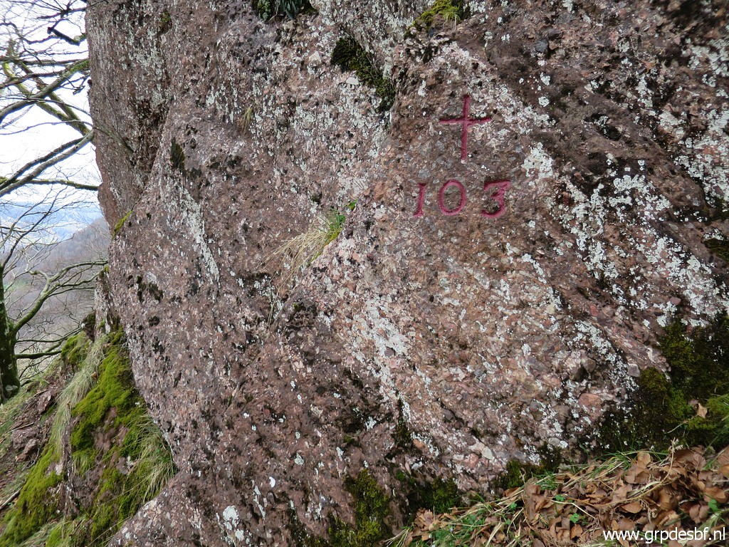 | Bm103 (click photo to enlarge) |
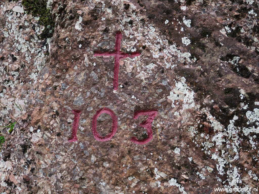 | Bm103 (click photo to enlarge) |
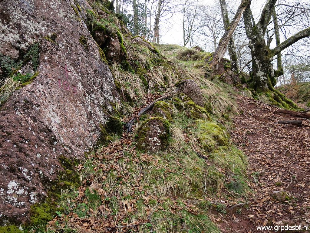 | Bm103, last picture (click photo to enlarge) |
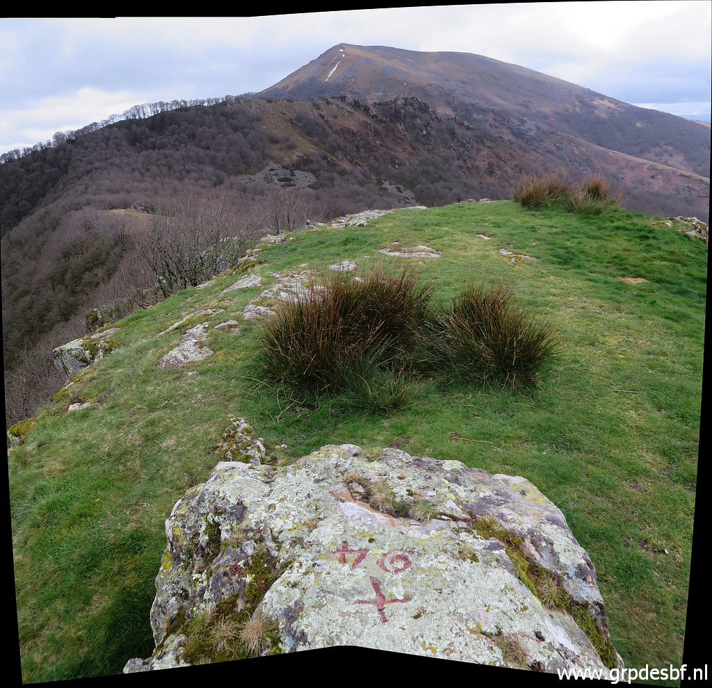
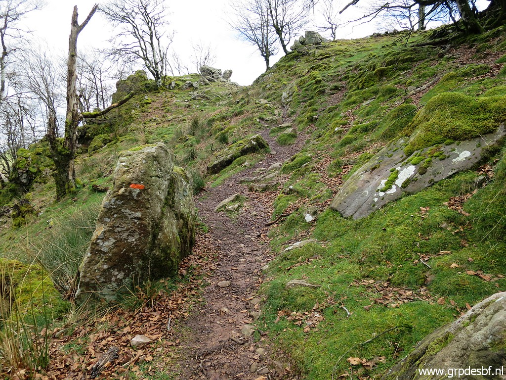
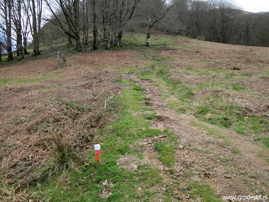
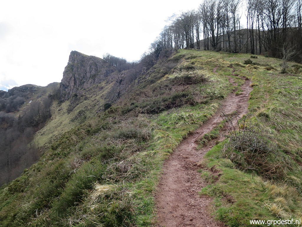 | Picking up the trail again which climbs in the forest to this hillridge. (click photo to enlarge) |
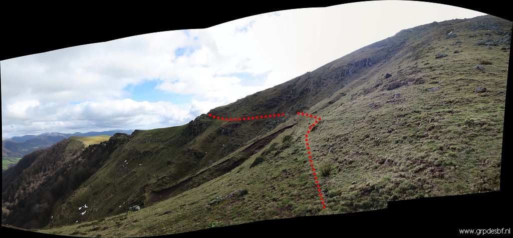 |
Further on, the trail bends along the hillside. (click photo to enlarge) |
 | Continuing along the hillridge (click photo to enlarge) |
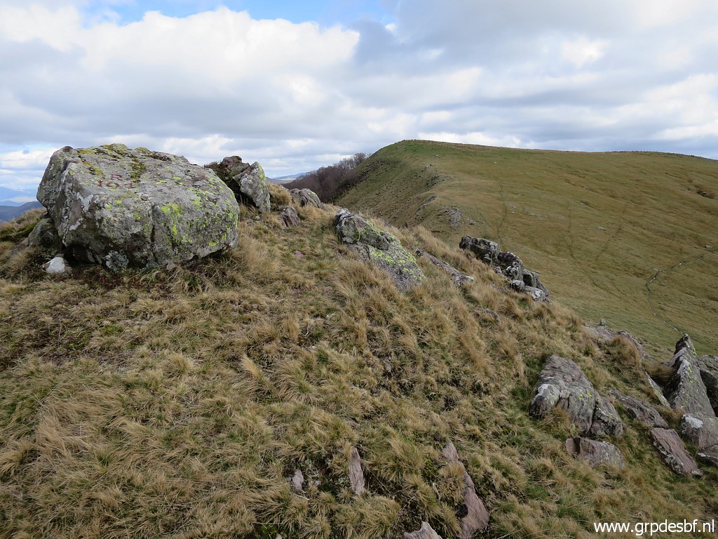 | and arriving at this intermediate summit (click photo to enlarge) |
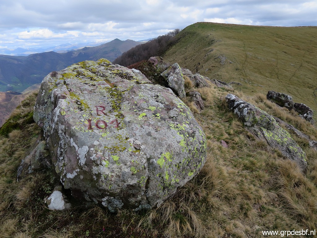 | with bm104. (click photo to enlarge) |
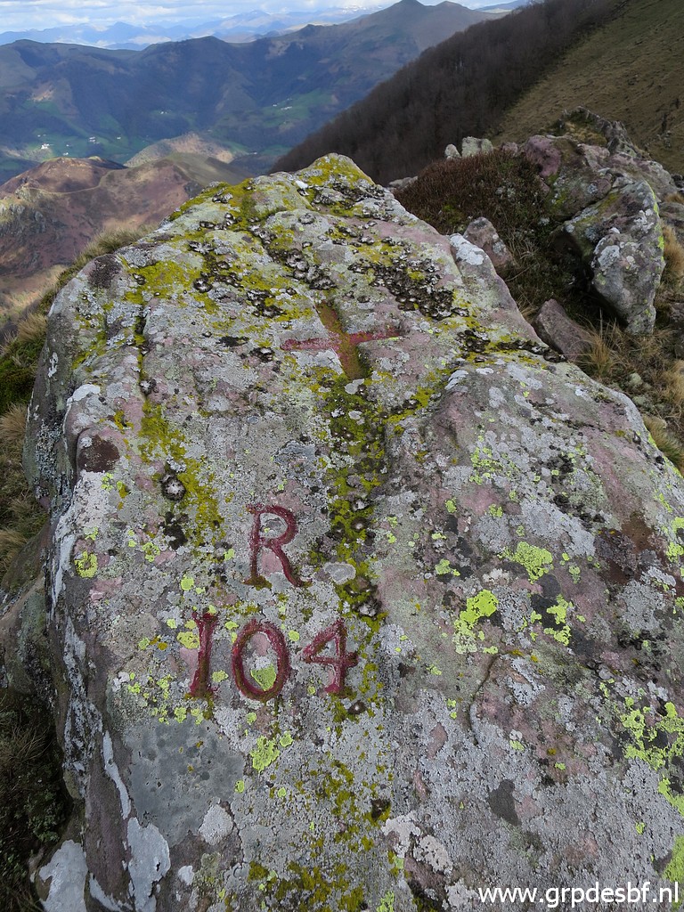 | Bm104 (click photo to enlarge) |
 | Bm104, looking back. (click photo to enlarge) |
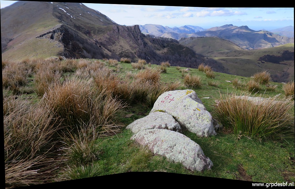
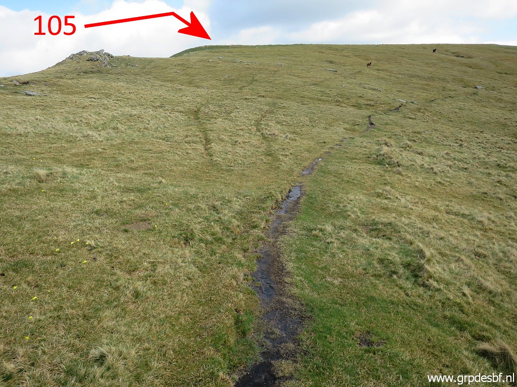 | The next bm is at the next hilltop. The trail bends underneath the hilltop to the right. (click photo to enlarge) |
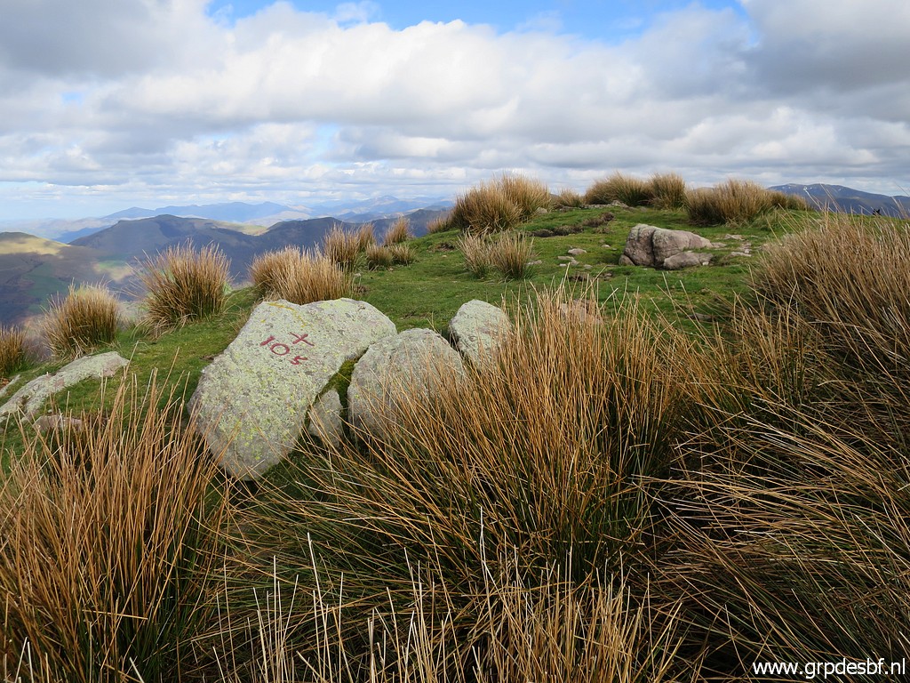 | Bm105 (click photo to enlarge) |
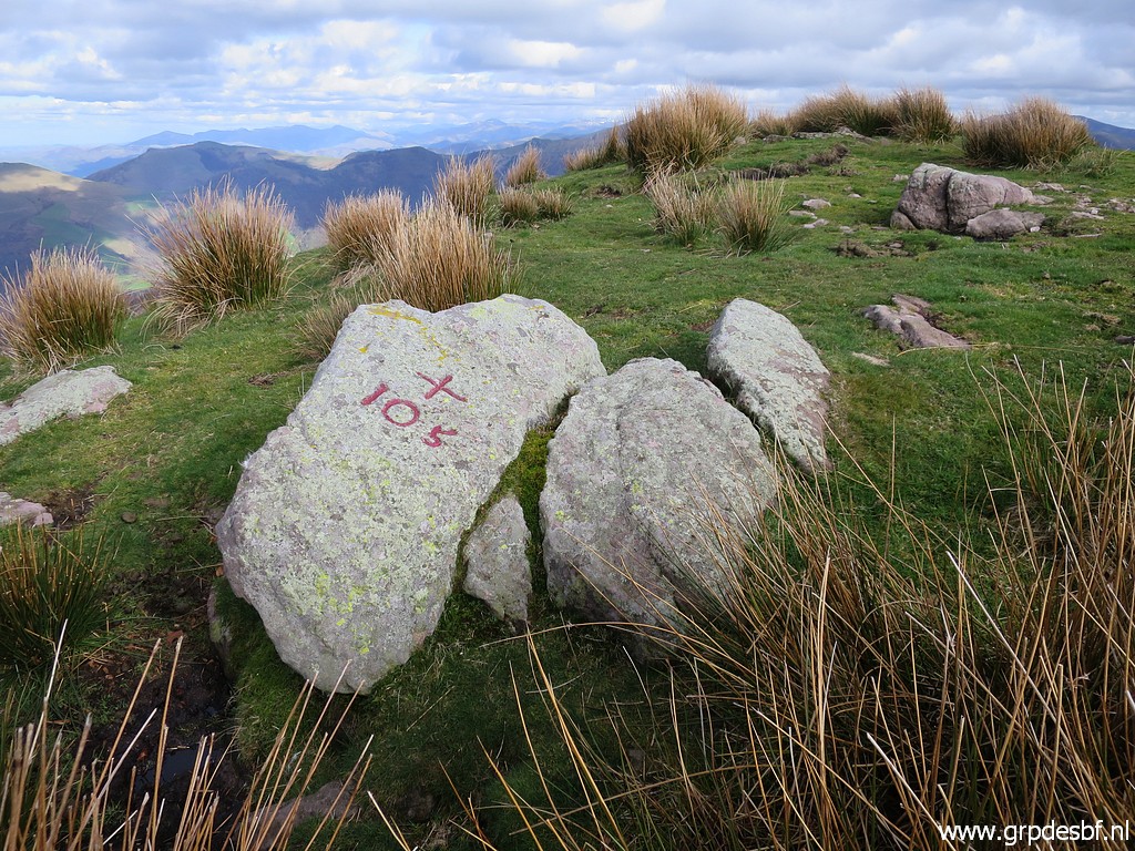 | Bm105 (click photo to enlarge) |
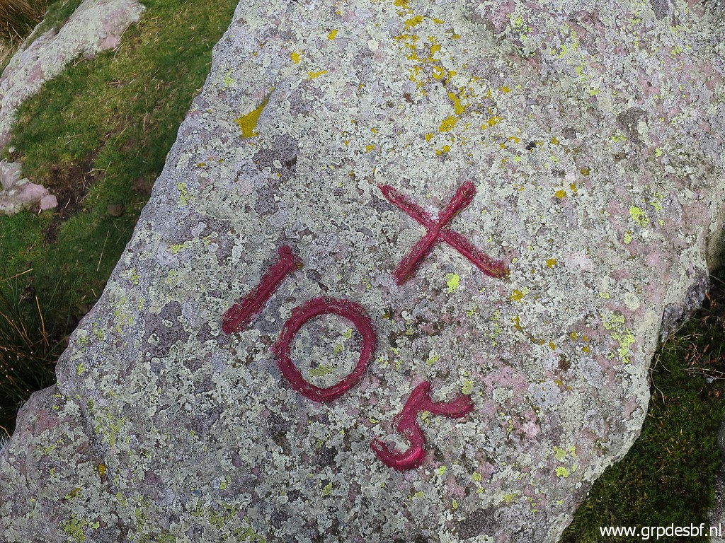 | Bm105 (click photo to enlarge) |
 | Bm105, looking back. (click photo to enlarge) |
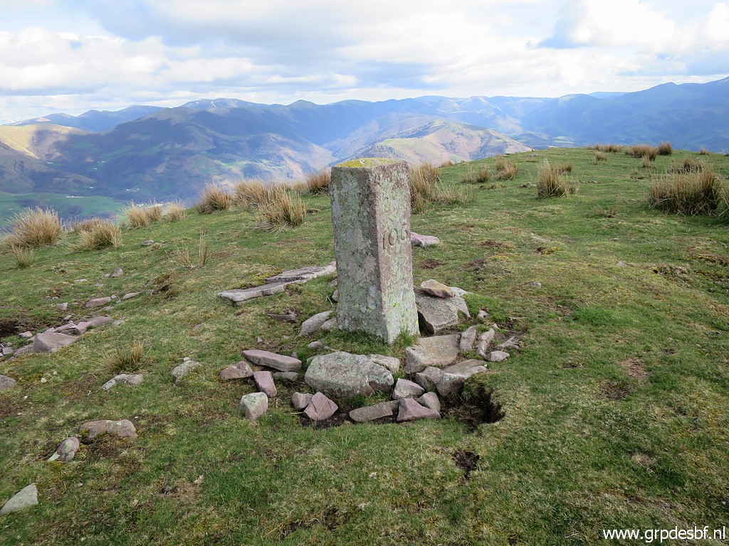 | Then descending SSW to bm106. (click photo to enlarge) |
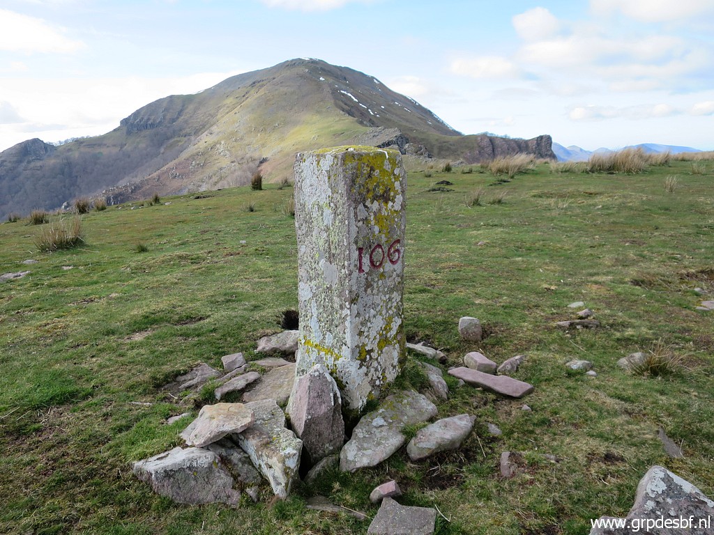 | Bm106 (click photo to enlarge) |
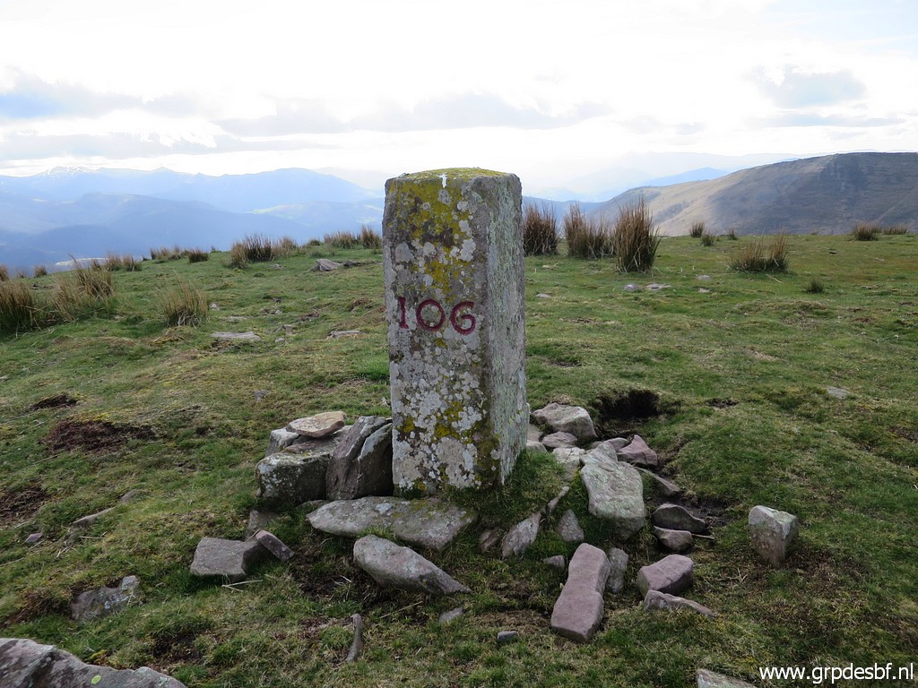 | Bm106 (click photo to enlarge) |
 | Further downhill bm107. (click photo to enlarge) |
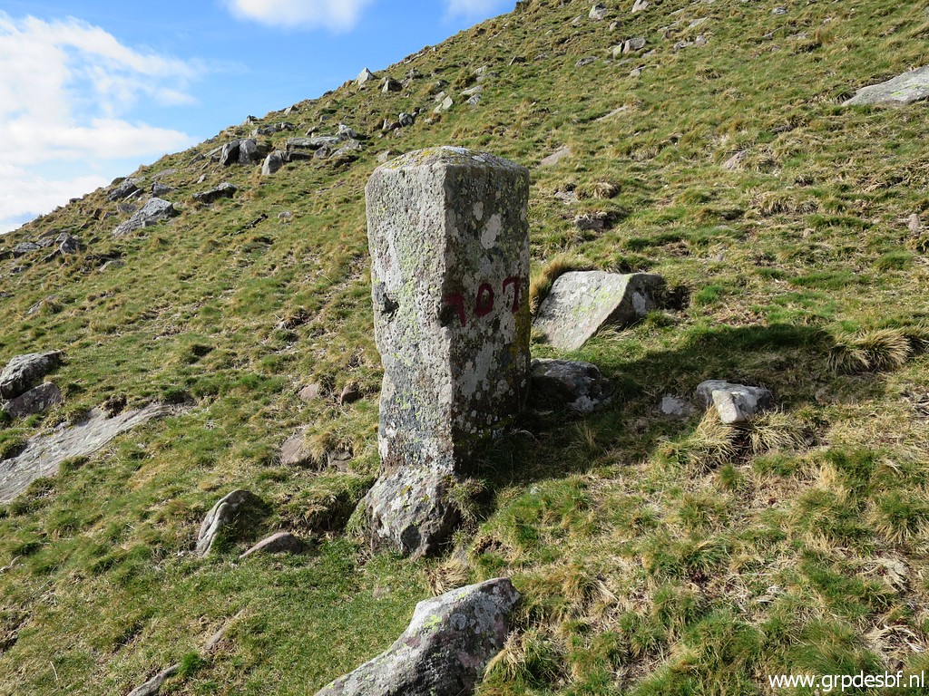 | Bm107 (click photo to enlarge) |
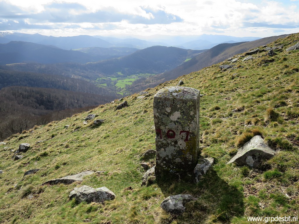 | Bm107 (click photo to enlarge) |
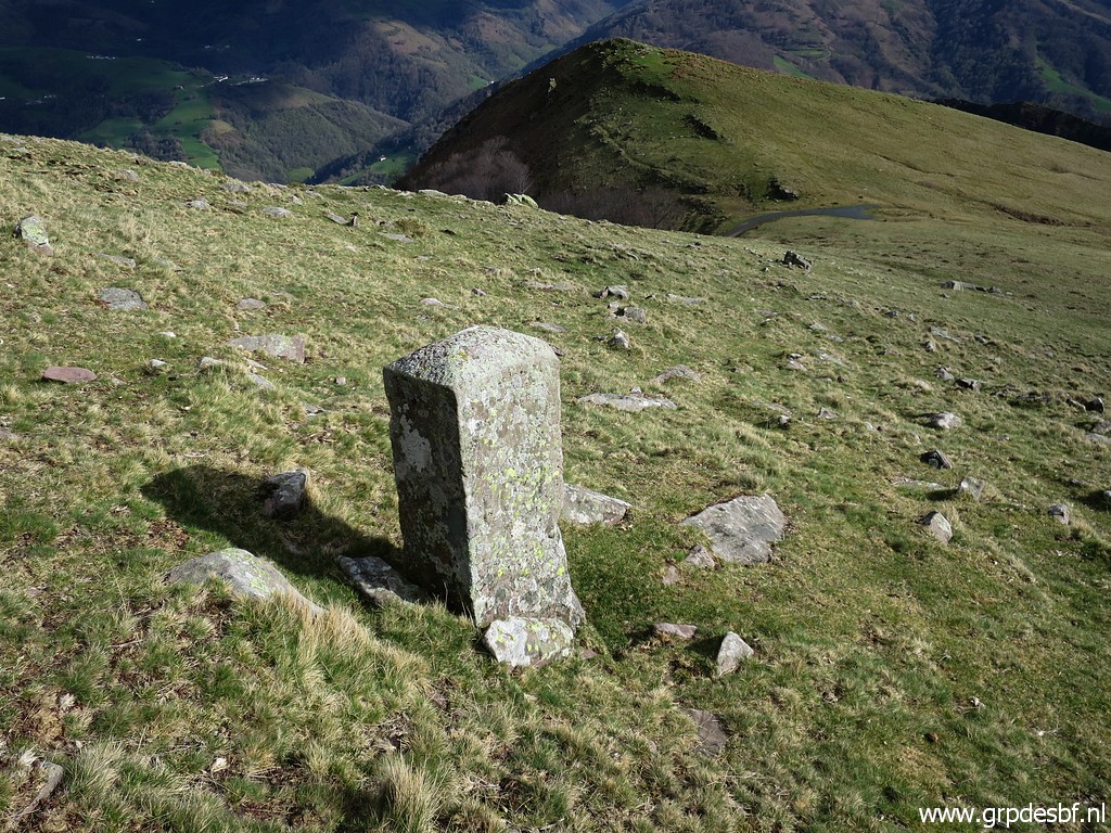
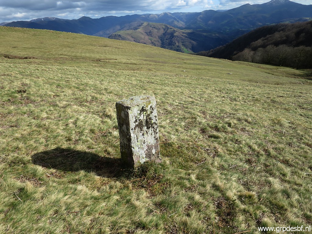 | Descending further to bm108. (click photo to enlarge) |
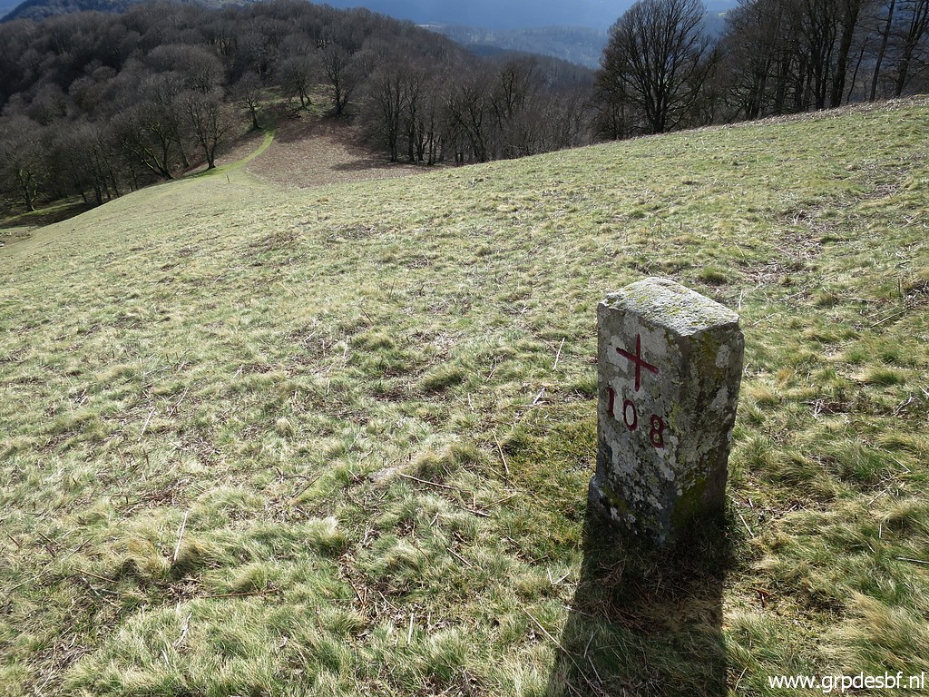 | Bm108 (click photo to enlarge) |
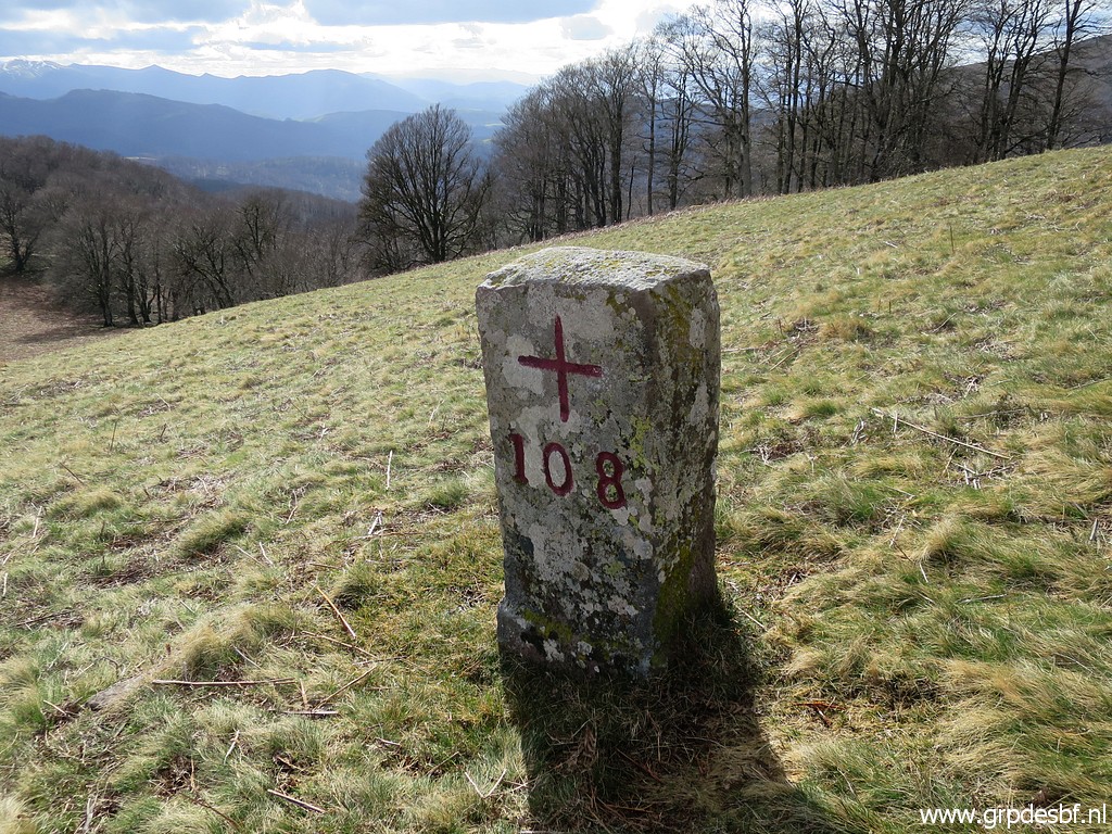 | Bm108 (click photo to enlarge) |
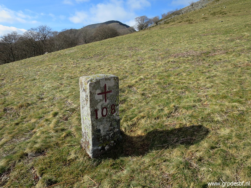 | Bm108 (click photo to enlarge) |
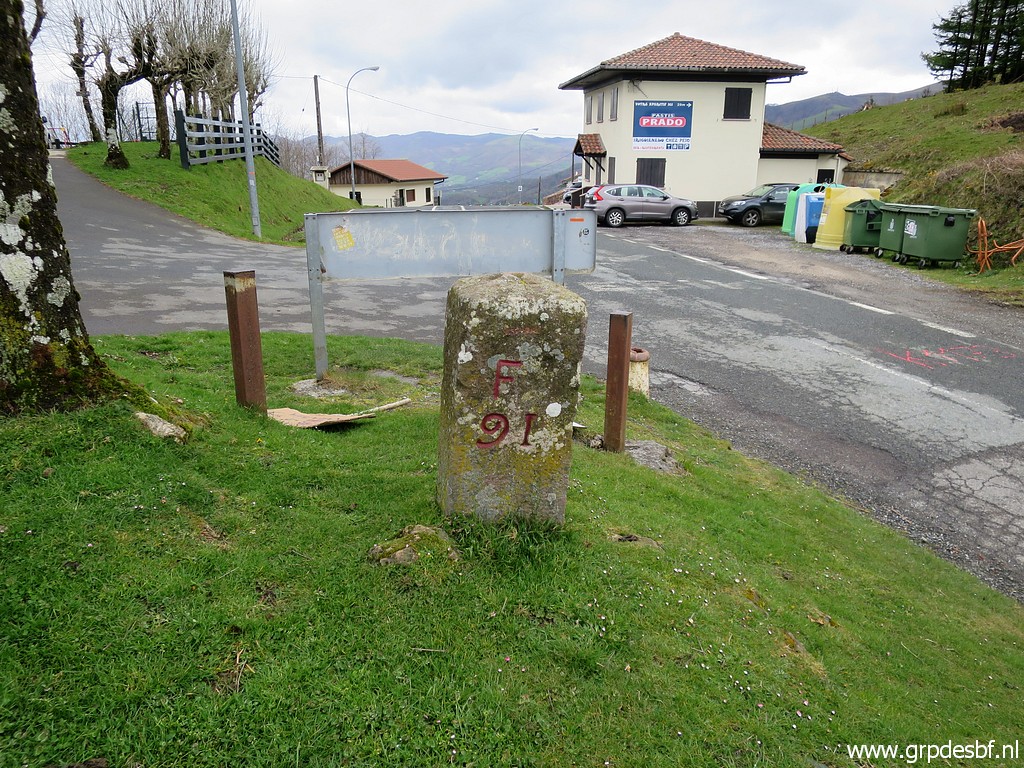
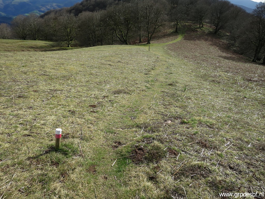 | I am now back at the white-red trail, unknown which one. Descending further to the pass in the background. (click photo to enlarge) |
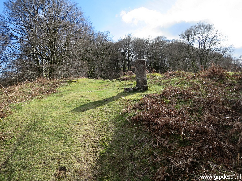 | There we find bm109. (click photo to enlarge) |
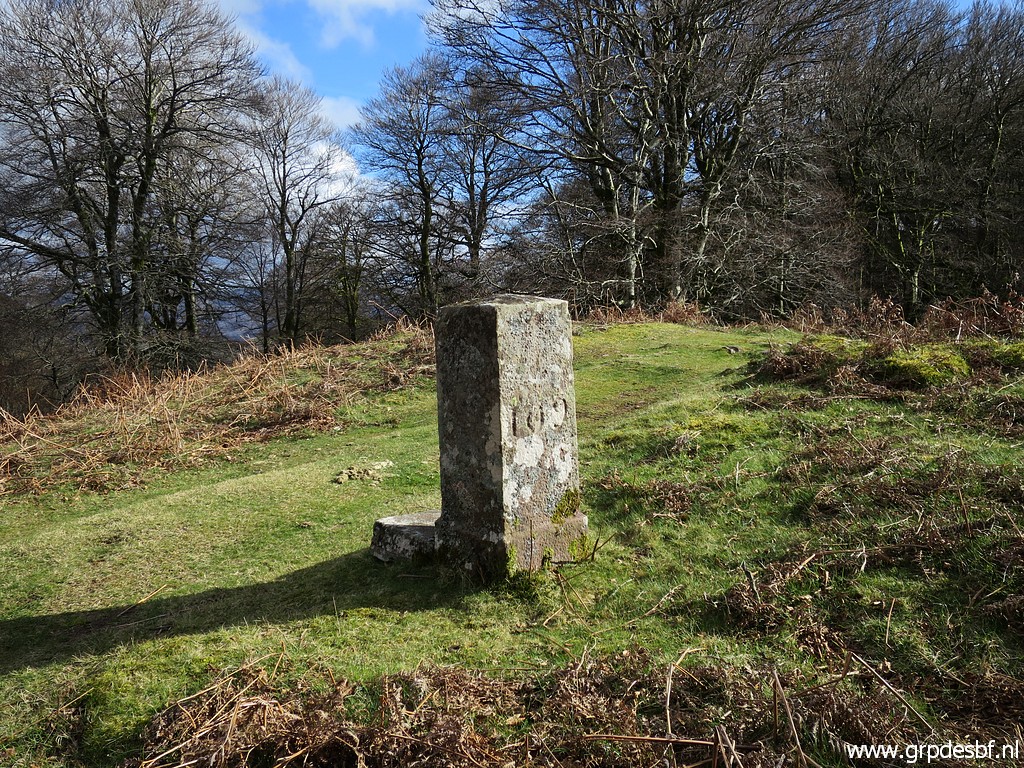 | Bm109 (click photo to enlarge) |
 | Bm109 (click photo to enlarge) |
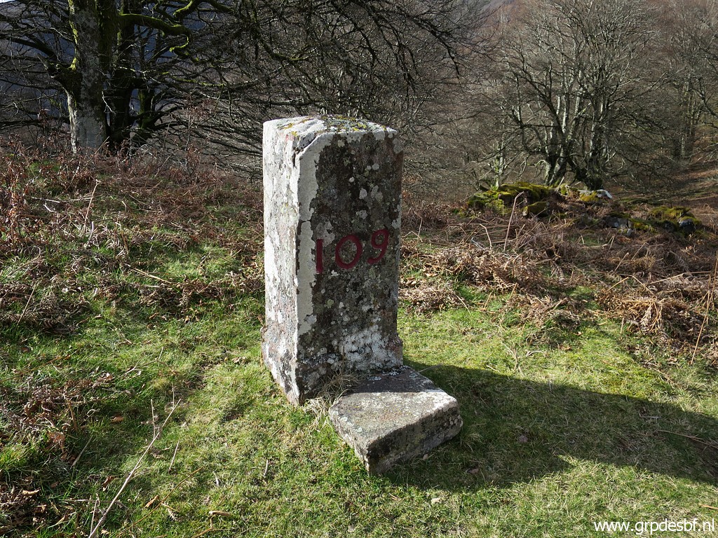
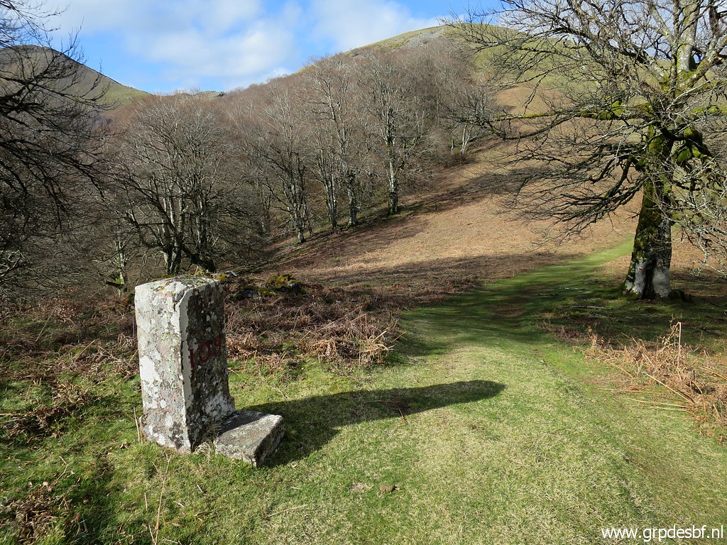 | Bm109 Enough for today, time to (click photo to enlarge) |
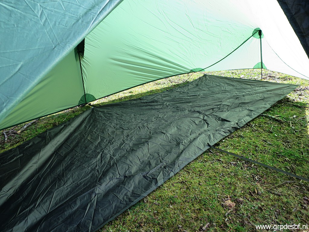 | pitch my tent. An experiment: I removed the inner tent and replaced it with this groundsheet. It saves me weight but will it work? (click photo to enlarge) |
 | Ready for dinner. Sleeping will not be success with my experiment. The surface is not well horizontal and during the night I will keep sliding from the groundsheet. Also cold drafts passing through the tent. But I use a fleece sleeping bag as an extra outer sleeping bag and that helps a lot to keep warm. (click photo to enlarge) |