|
The
bordermarkers of the Pyrenees : all my trips
 |
|
| -
sunday 17 april
2022 - Redoing bm085 to 090 |
 |
 |
Summary:
part of a series of 10 daytrips in april 2022 in the Basque country,
mainly redoing bm085 to 197. This is day 9. Today: redoing bm085 to bm090 Weather: splendid Basecamp: camping Irouleguy in Saint-Étienne-de-Baïgorry. |
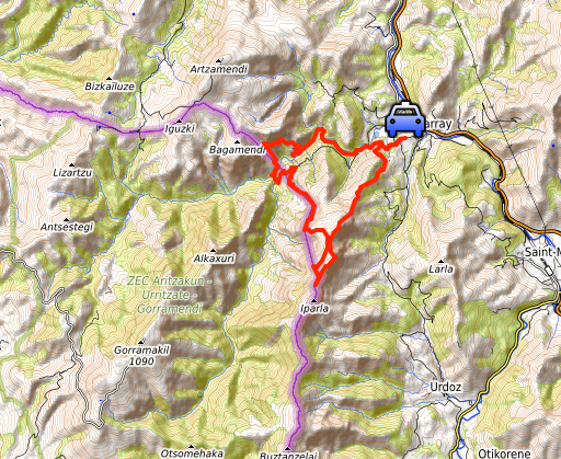
 track-20220417.kml
(click to open this trip in Google Earth or copy link to Google Maps; click right on this link to download gpx-version). The gps-track has not been manually corrected which explains the inaccuracy and misalignment at some points. For cartographic backgrounds: see the cartography-page Gps-waypoints of all bordermarkers (most recent version): kml: esfr-bordermarkers-all-waypoints.kml gpx: esfr-bordermarkers-all-waypoints.gpx (with elevation added by gpsvisualizer.com) |
|
 |
According to Garmin
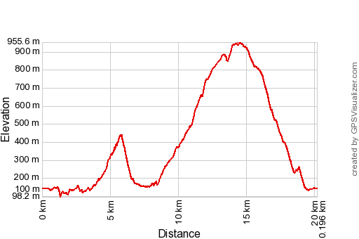
Basecamp (uncorrected track with elevation added by Gpsvisualizer.com): Distance: 20,2km Max-height: 956m Min-height: 98m Elevation: +1778m -1778m Total elevation: 3556m Start 8:54 Finish 18:38 Total time: 9:44 |
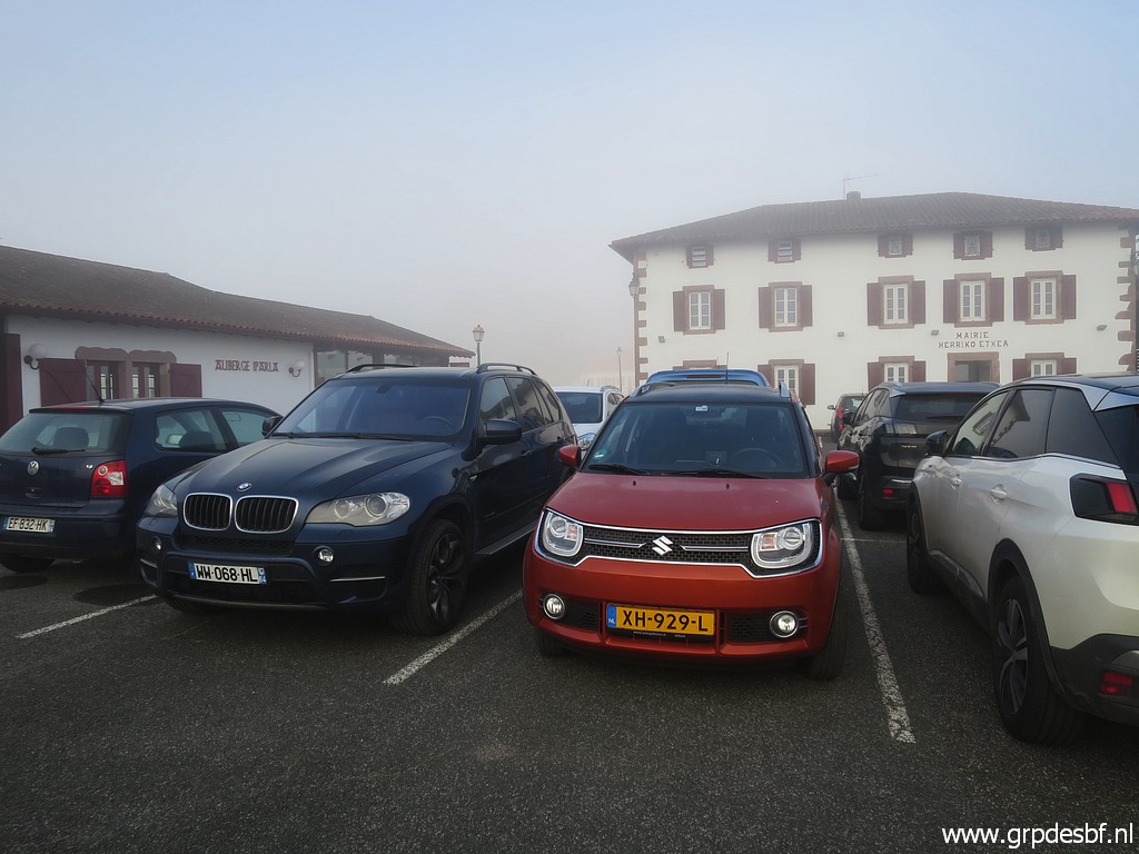 | Parking in Bidarray. (click photo to enlarge) |
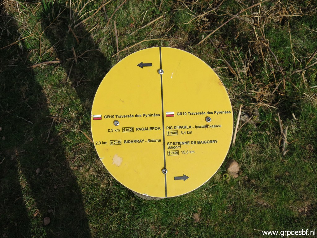
 | Picking up the GR10. (click photo to enlarge) |
 | Later on - along the tarmac road - a sentimental view at the spot where Jan-Willem and me (click photo to enlarge) |
 |
camped on 9-4-2009. |
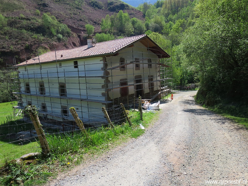
 | After
crossig a bridge, the tarmac roads arrives at this point with the house
(former farm Bernetenea) in the background. The road starts to climb
now to the right. (click photo to enlarge) |
 | This sign is interesting. There is apparently now a trail which traverses underneath the house to pick up a dirtroad at the back of the house. That dirtroad and a trail starting from it after a converted barn can bring you to bm085. I will arrive that dirtroad (and the trail beyond it) later on after a detour up and down the mountainside. (click photo to enlarge) |
 |
Is this route useful if you want to reach bm085 from Bidarray? Certainly yes: if you want to make a nice roundtrip from Bidarray to bm085 and possibly the next markers bm086 to bm089. It will probably save you 1 to 1,5 hour in comparison to my route of today. |
 | I continue on the GR10 and have left the tarmac road. Nice panorama. (click photo to enlarge) |
 | Further on, I have reached the spot where there is a bifurcation if you come from the other side. That is from bm084. The left trail is the GR10 continuing to Bidarray (where I came from). To the right begins the direct route to bm085. I want to check that route again. (click photo to enlarge) |
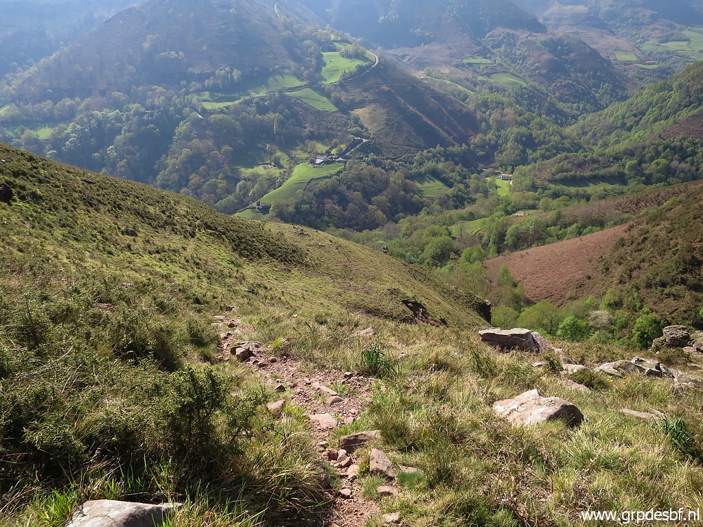 | The trail is still distinct enough but not waymarked. (click photo to enlarge) |
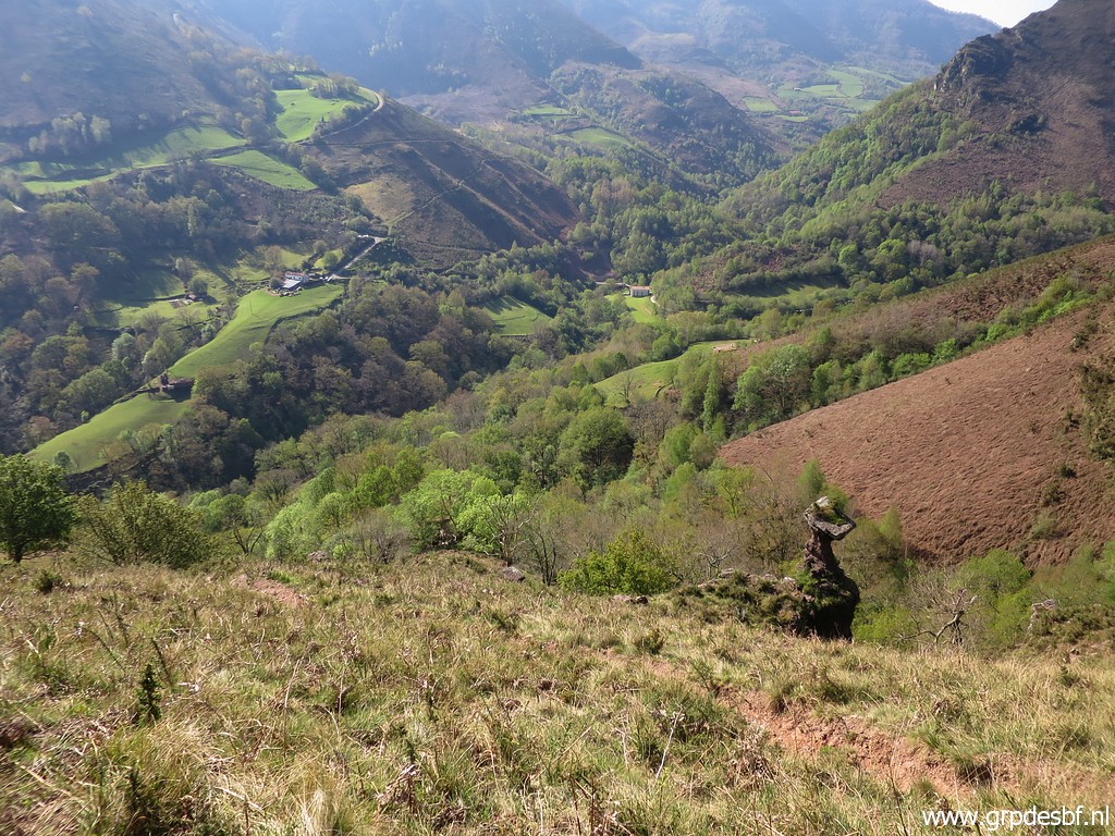 | To the right this peculiar (click photo to enlarge) |
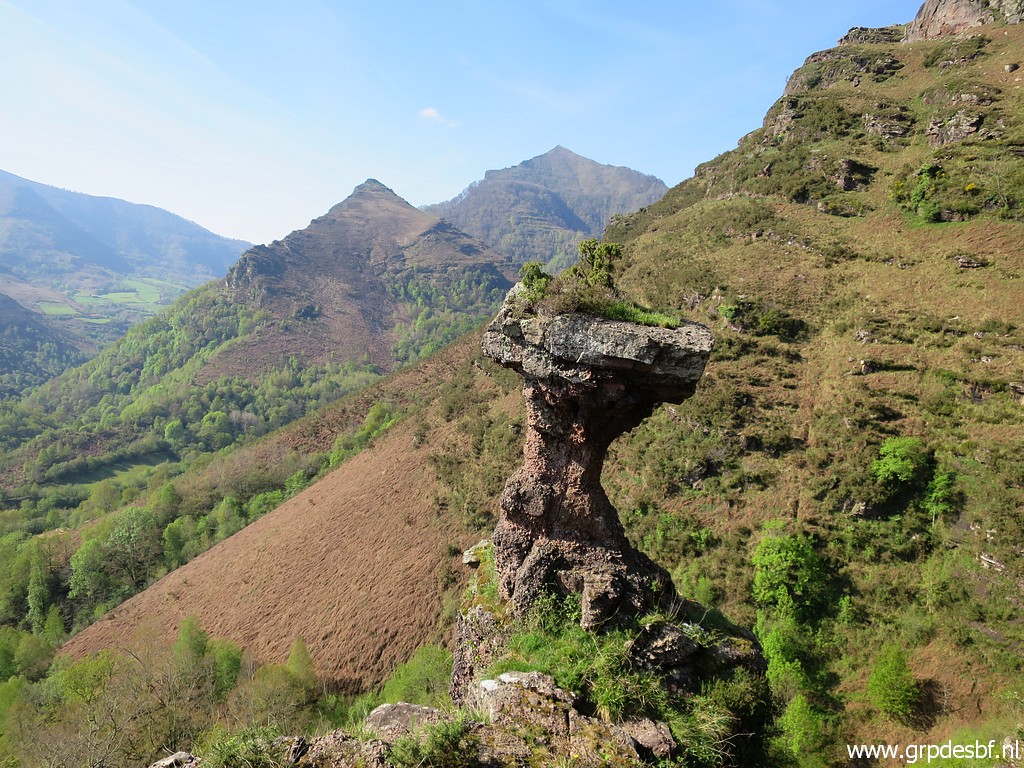 | rock formation. (click photo to enlarge) |
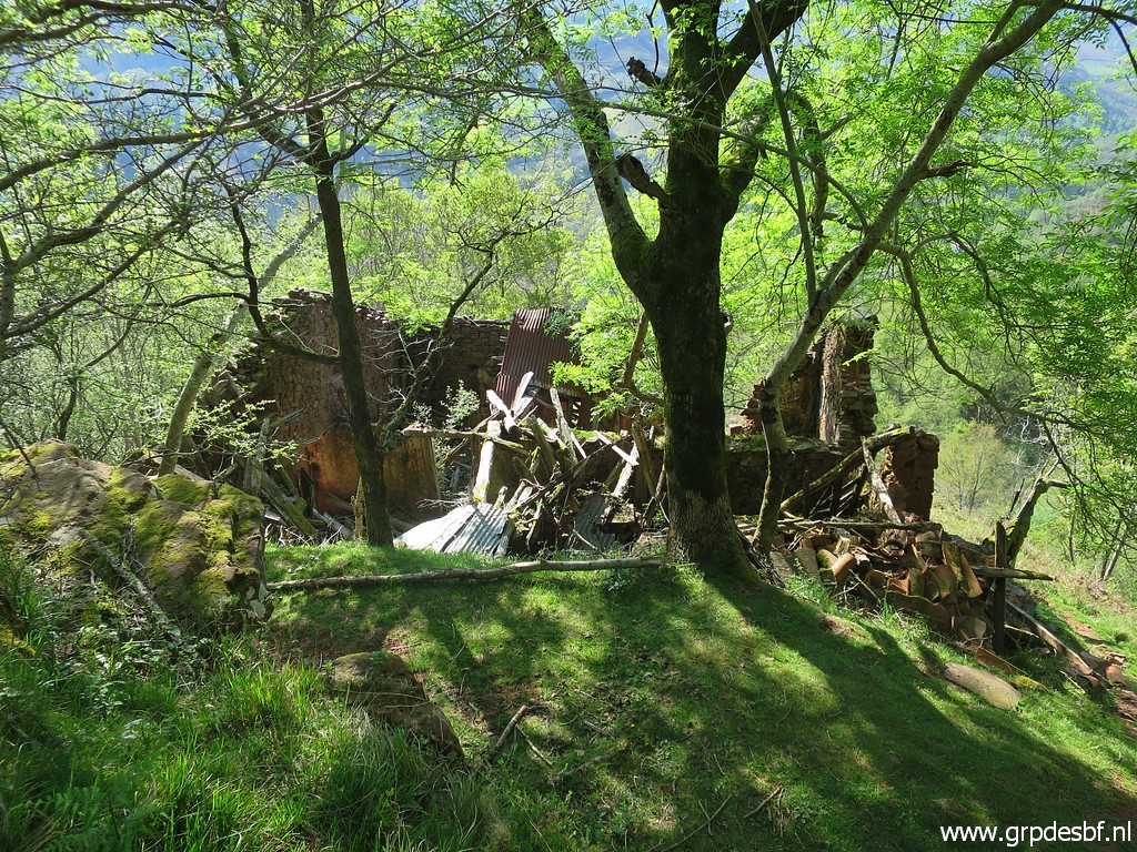 | Then passing this ruined barn (click photo to enlarge) |
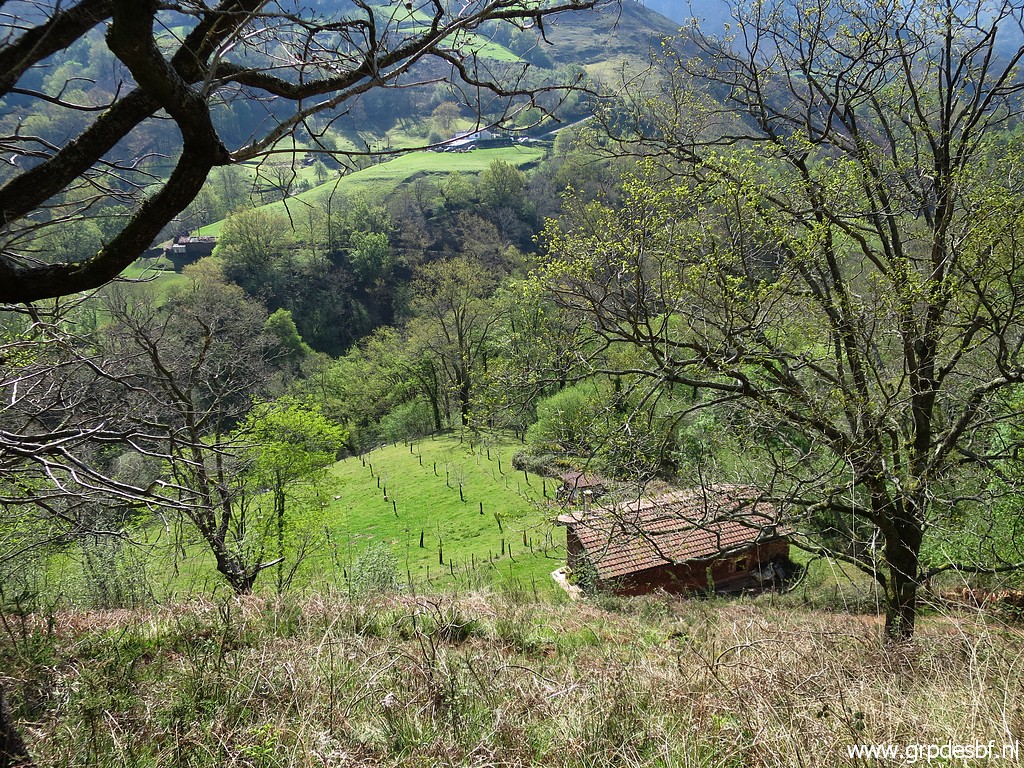 | Further descending to this barn (click photo to enlarge) |
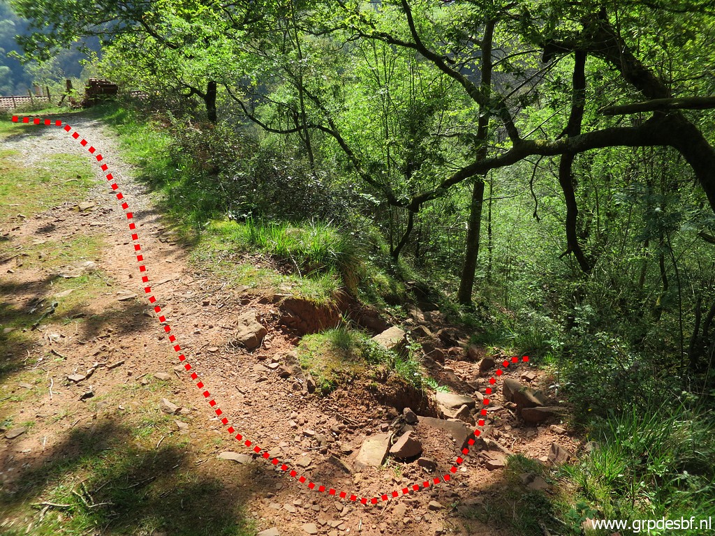
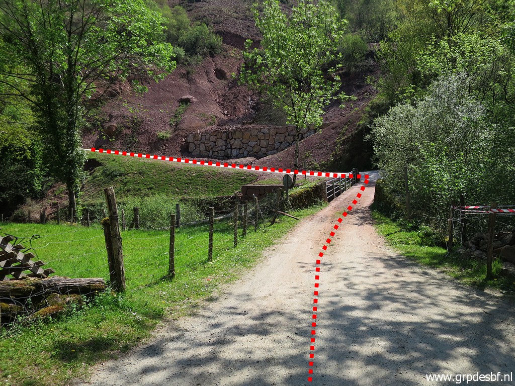
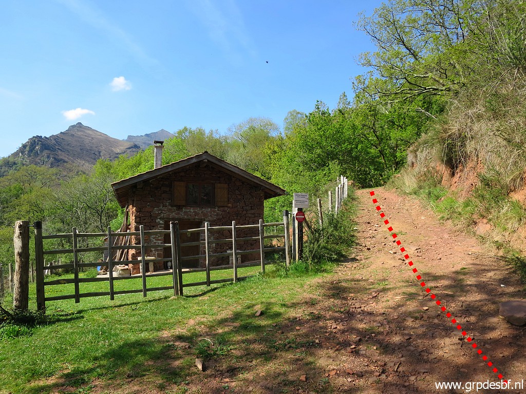 | which used to be a barn but seems now a holiday cottage. The red line shows the route to follow. (click photo to enlarge) |
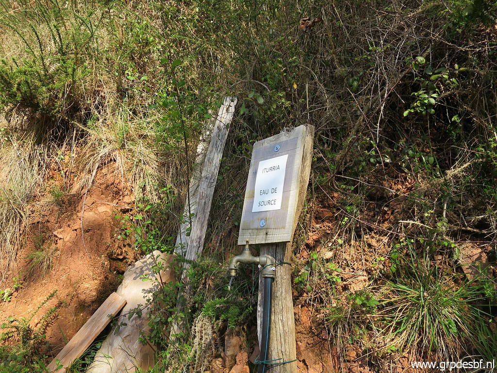 | Useful: a watertap opposite of the barn. (click photo to enlarge) |
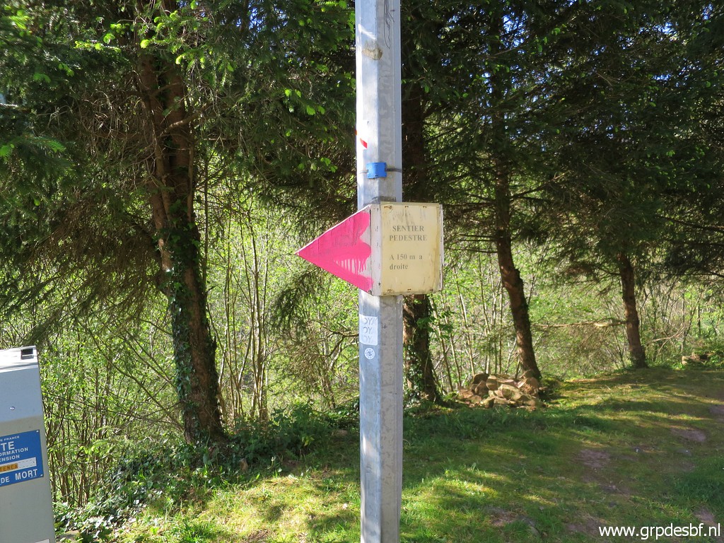
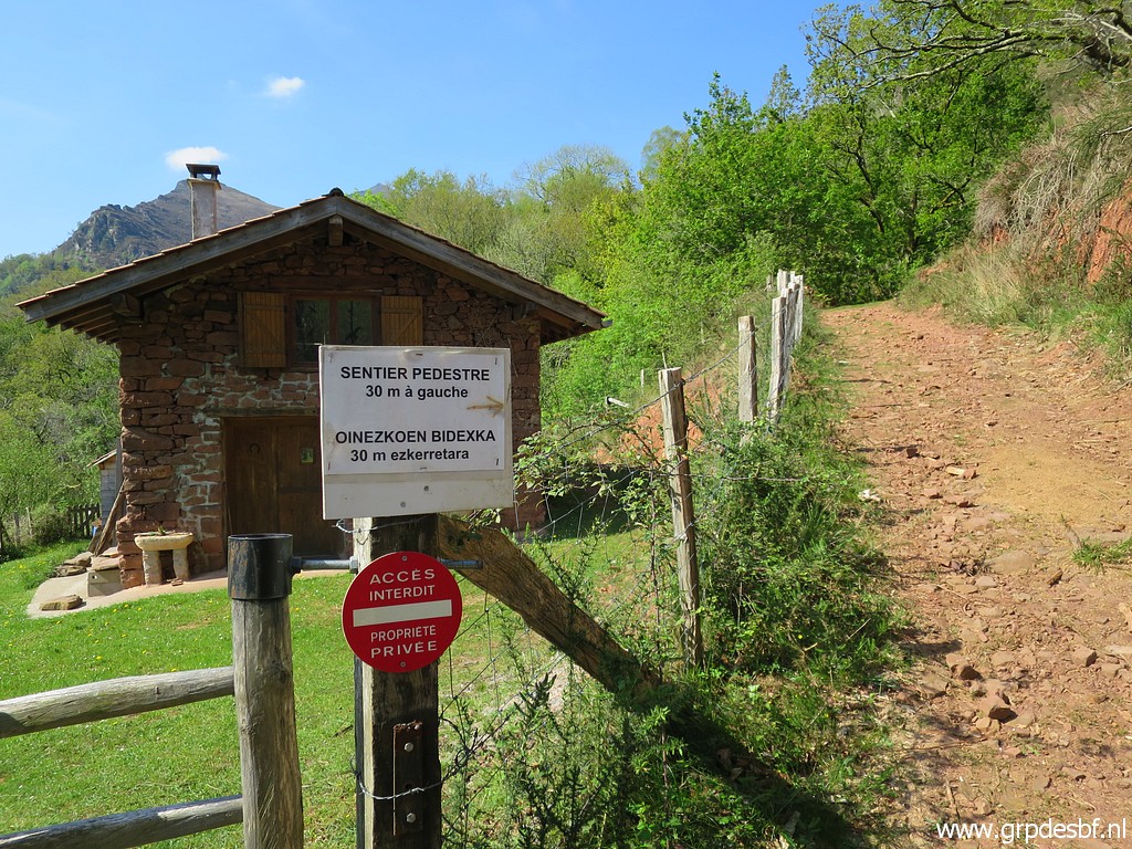 | This sign tells us that after 30m there is a walker's path to the left. (click photo to enlarge) |
 | And that's here. (click photo to enlarge) |
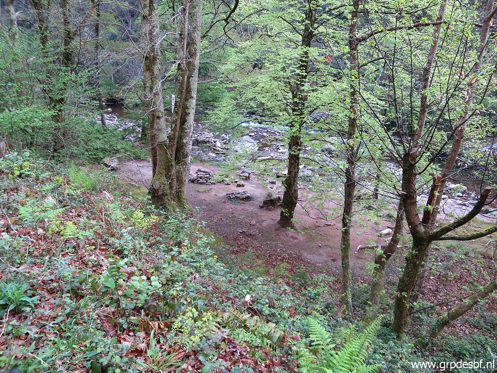
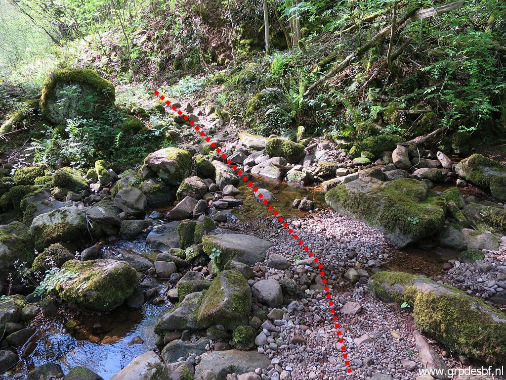 | It descends and crosses this stream. It's the borderstream which descends from bm084 to bm085. The trail descends first parallel to the borderstream (click photo to enlarge) |
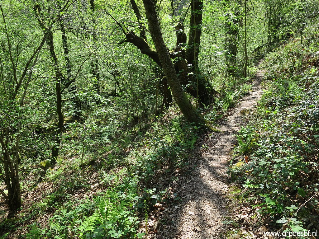 | and then bends to the right. In fact I could have tried to descend from here directly through the forest to bm085 (only 45m) but I prefer a more elegant approach. (click photo to enlarge) |
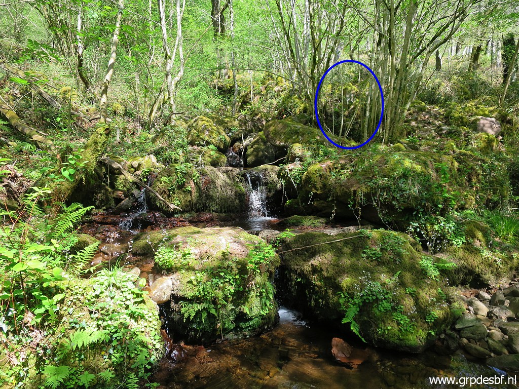
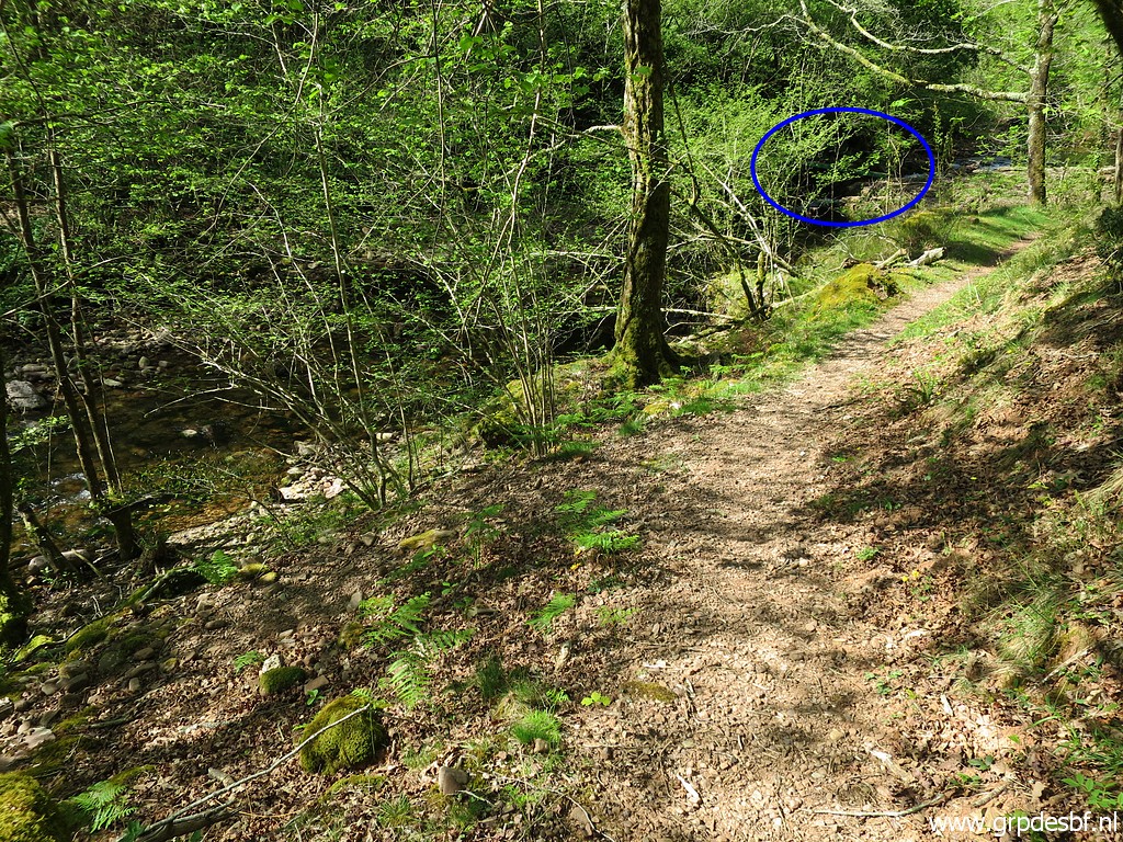 | So continuing on the trail until this point where you can already spot (blue circle) (click photo to enlarge) |
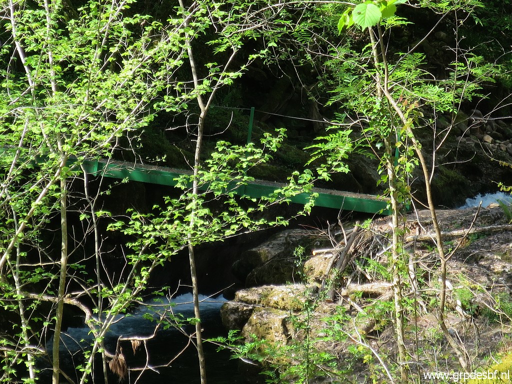 | the footbridge across the river. (click photo to enlarge) |
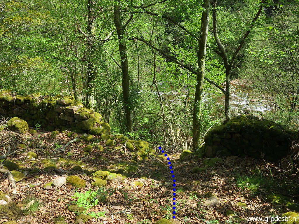
 | At this point, you have to leave the trail and follow the 'blue' variant towards bm085. (click photo to enlarge) |
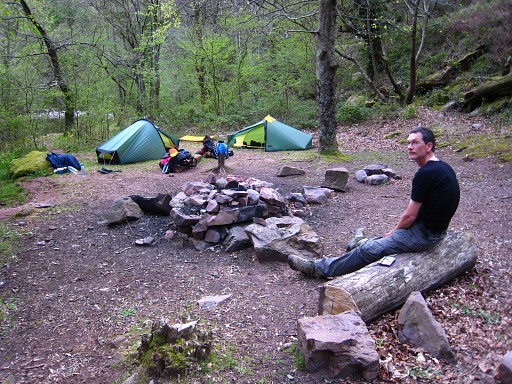
 | Passing a nice bivouac-spot. To the right the river. (click photo to enlarge) |
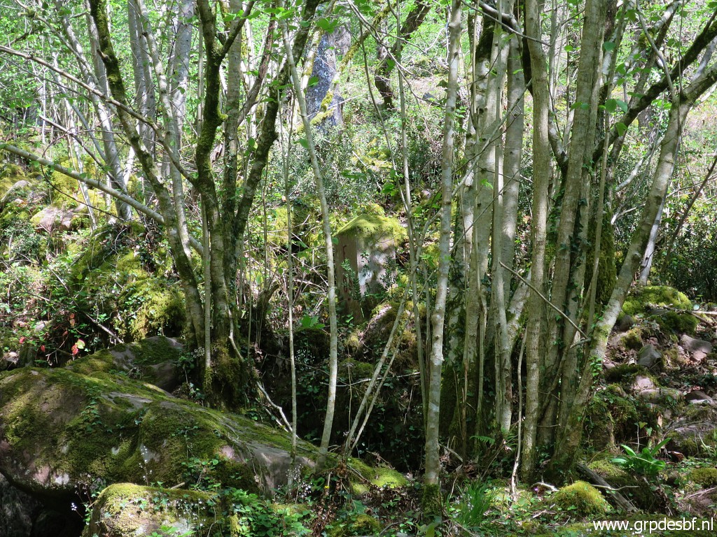
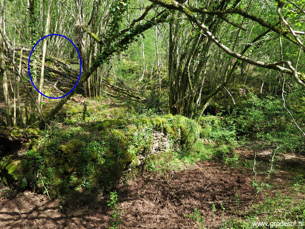 | I arrive at the borderstream where it meets the river. In the blue circle I spot (click photo to enlarge) |
 | already the second bm085: only a number on a rock, no cross. (click photo to enlarge) |
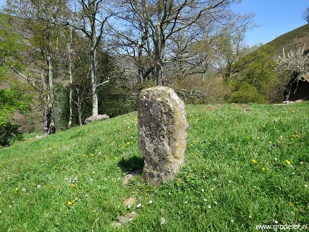
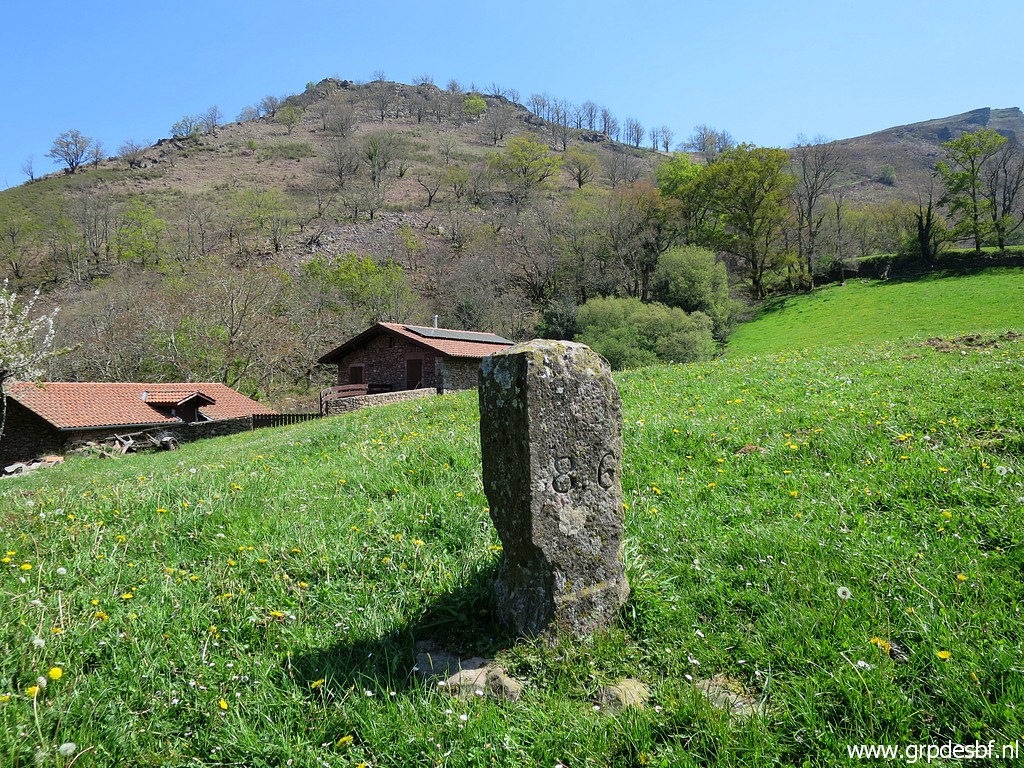
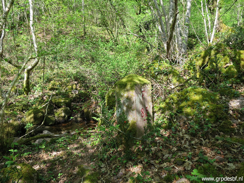 | At the other side of the borderstream, the pillar bm085 (click photo to enlarge) |
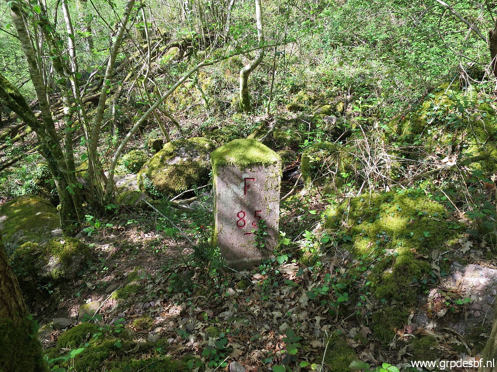 | Bm085 (click photo to enlarge) |
 | Bm085 (click photo to enlarge) |
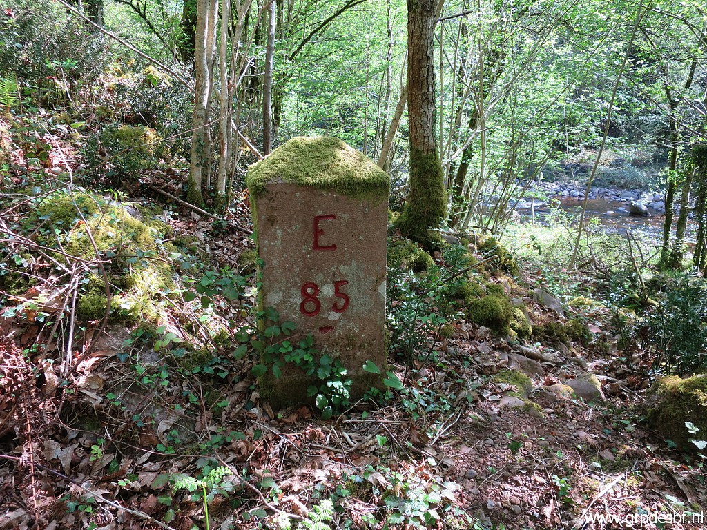 | Bm085 (click photo to enlarge) |
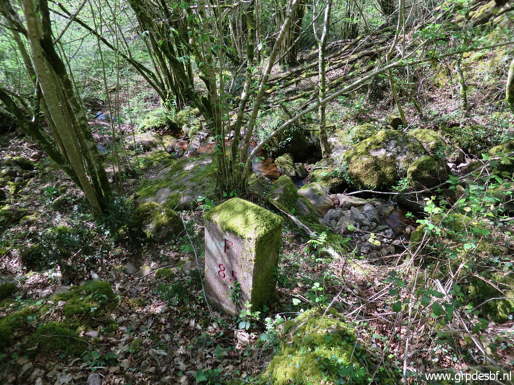
 | Bm085, seen from the borderstream (click photo to enlarge) |
 | Zoom-in from previous picture (click photo to enlarge) |
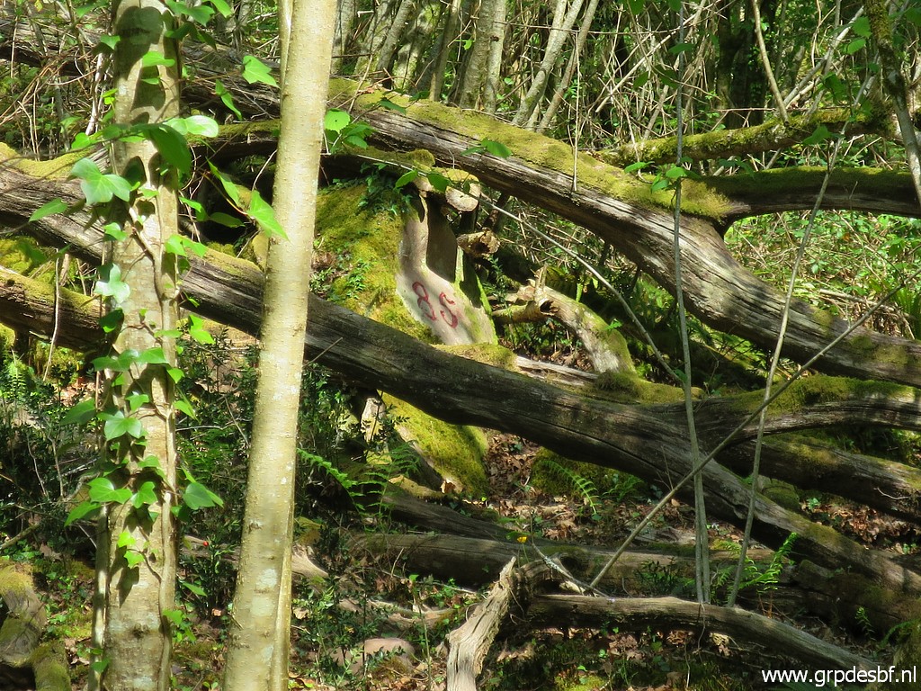
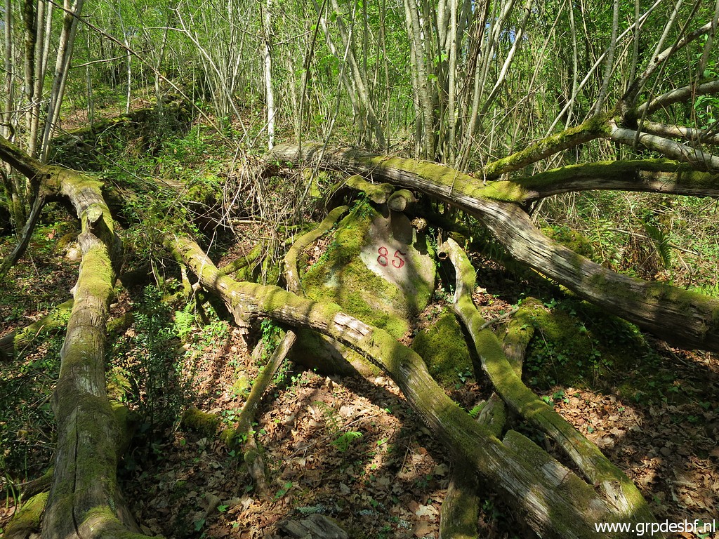 | Then the second bm085 in more detail. (click photo to enlarge) |
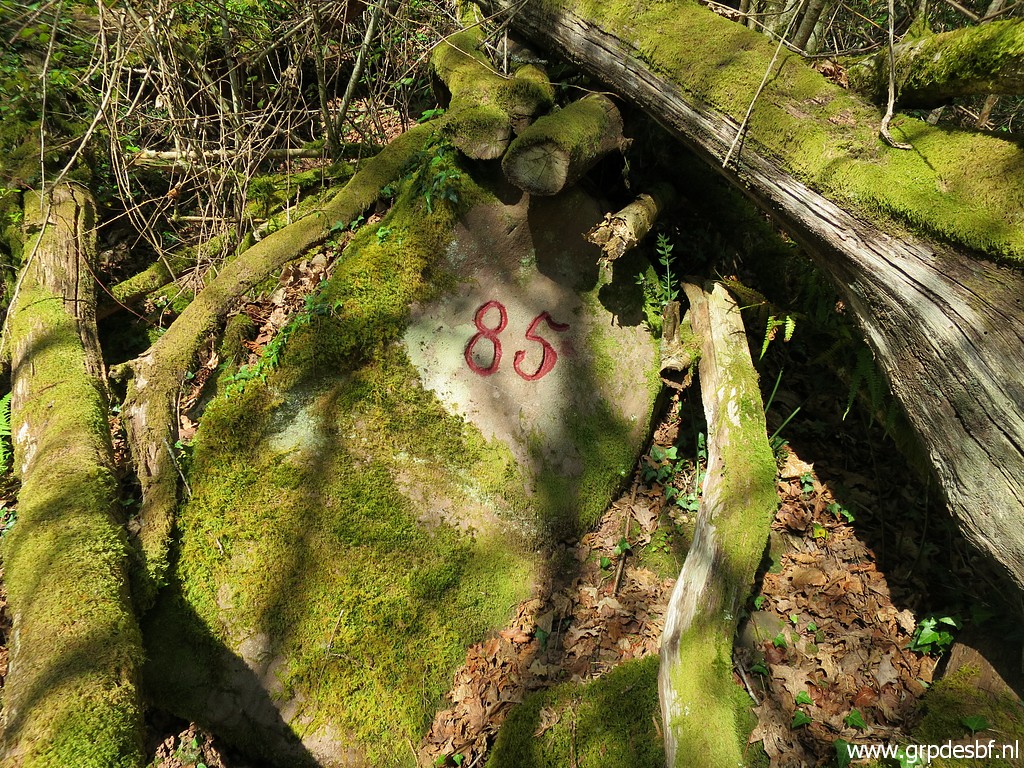 | bm085-number. There is no information about the origin or reason of this number. (click photo to enlarge) |
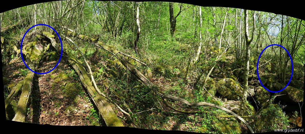 |
On this panorama both bm's visible. (click photo to enlarge) |
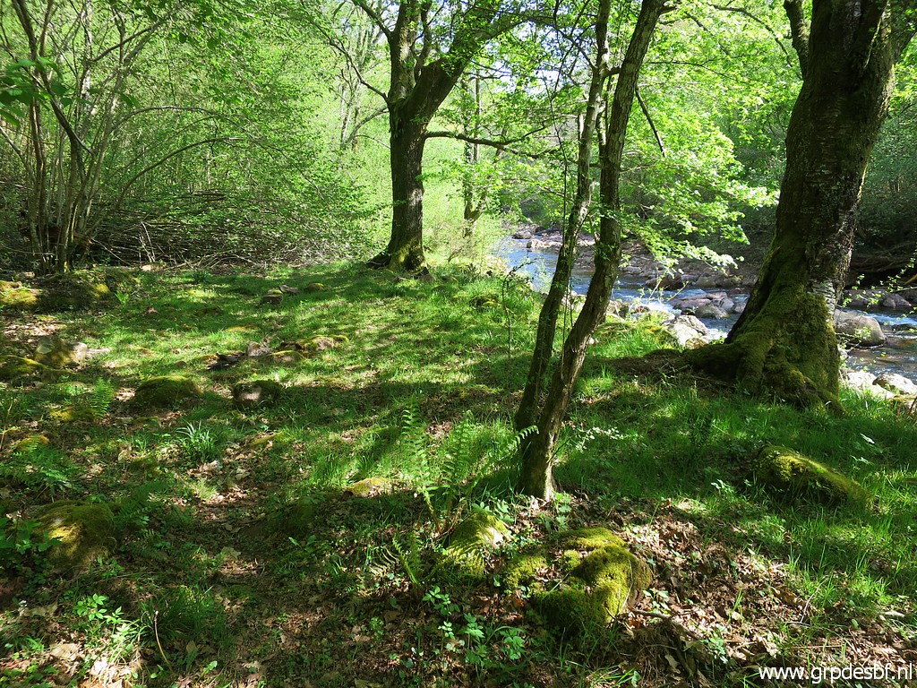
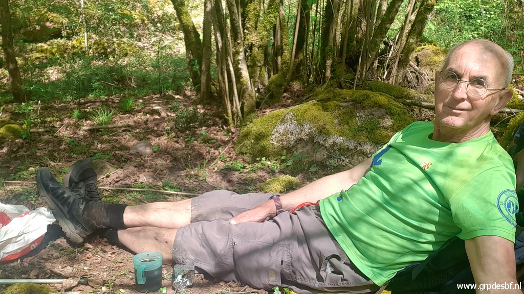 | Time for a lunch break, along the river. (click photo to enlarge) |
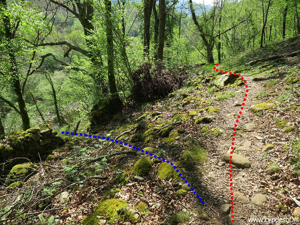 |
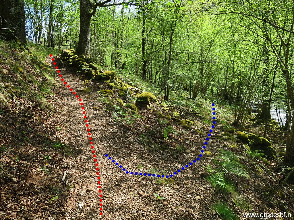
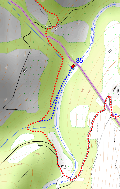
Then - while returning - I discover a vague trail which brings you easily to the main trail. That is in fact an easier way to reach bm085. This picture shows it: the red trail is the main trail leading to the footbridge. The blue trail brings you to bm085. (click photo to enlarge) |
 | It passes through these patches of stone wall. After 'doing' bmo85, you can return along the river back to the main trail. (click photo to enlarge) |
 |
But to be honest - after watching the gps-track closely later on - it doesn't make much difference. |
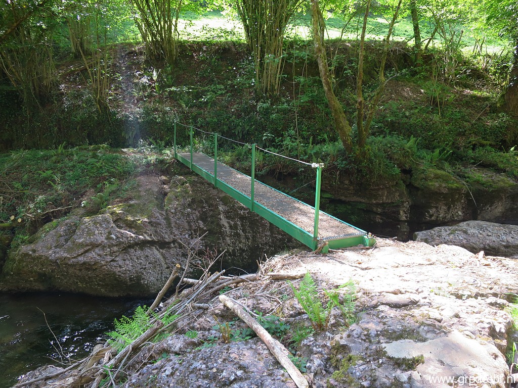 | The main trail brings you to this footbridge (click photo to enlarge) |
 | and beyond it to this dirtroad (click photo to enlarge) |
 | which passes this Basque house (click photo to enlarge) |
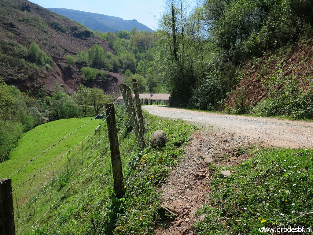
 | and crosses another bridge. The road zigzags uphill, passes a farm and a parking lot (click photo to enlarge) |
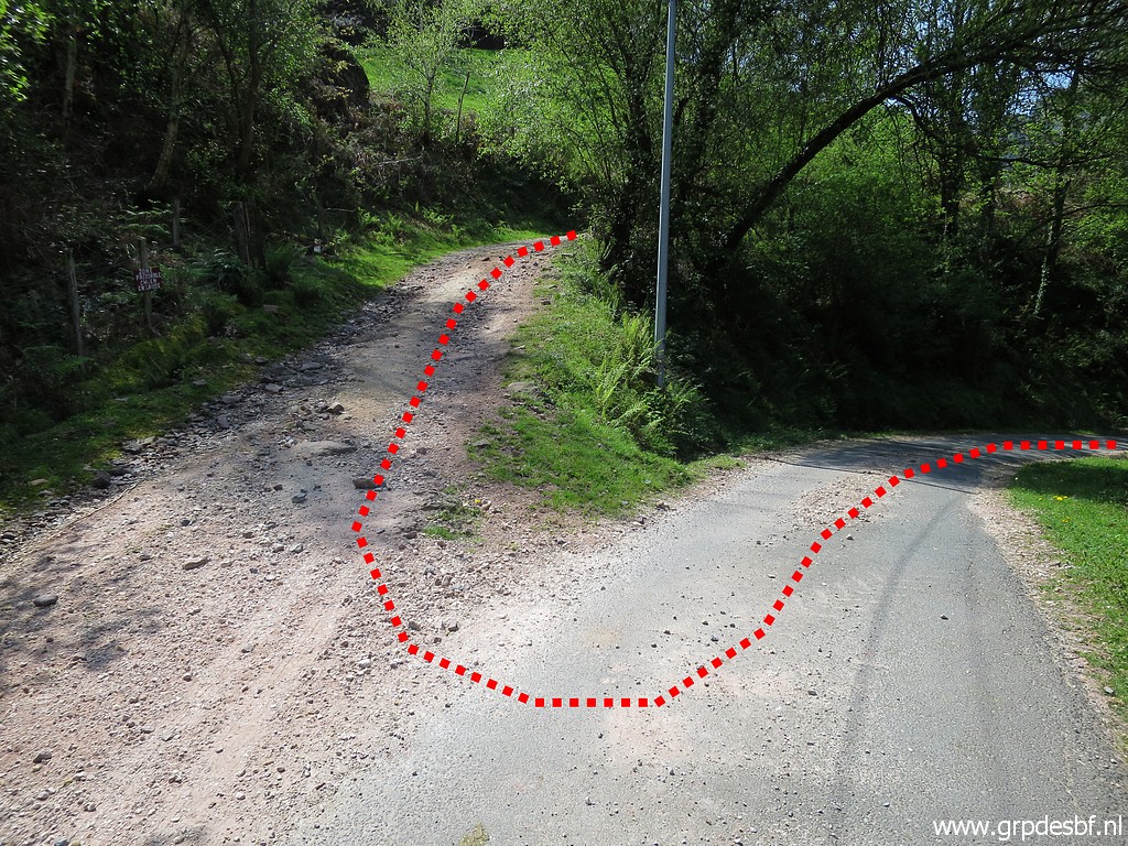 | and reaches this point (looking back). Here I leave the tarmac road and pick up the dirtroad (click photo to enlarge) |
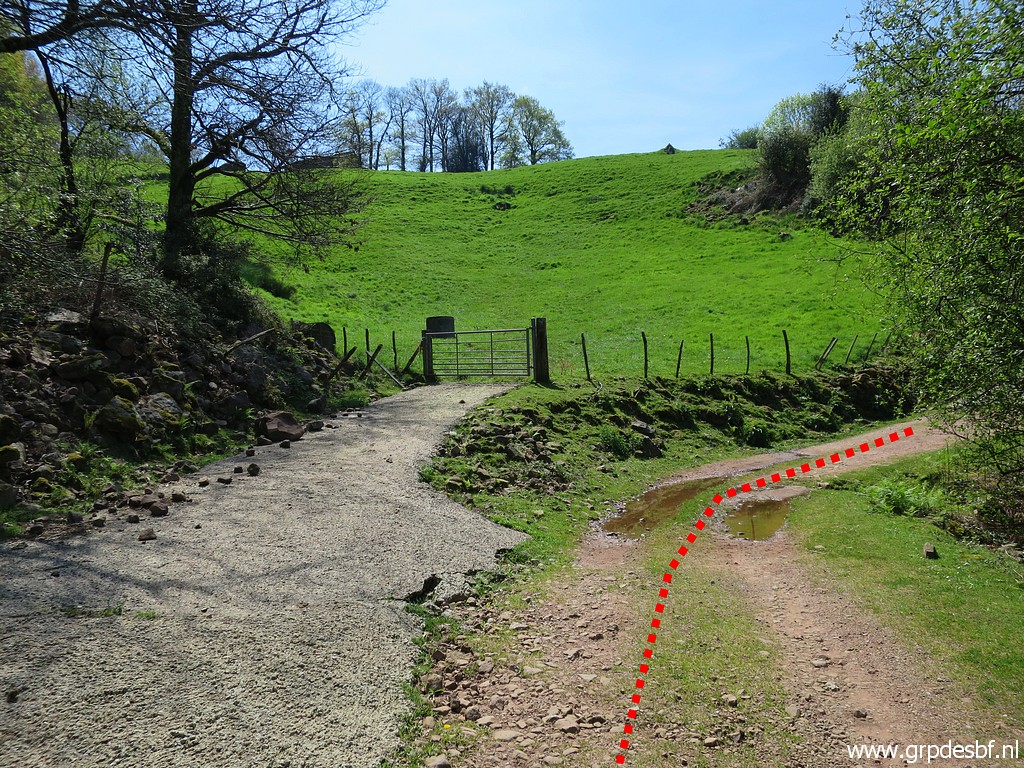 | which passes this gate which could be a gateway to bm086 (click photo to enlarge) |
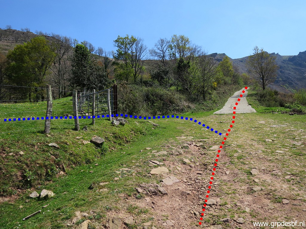 | but it is easier to continue on the dirtroad and take this gate. (click photo to enlarge) |
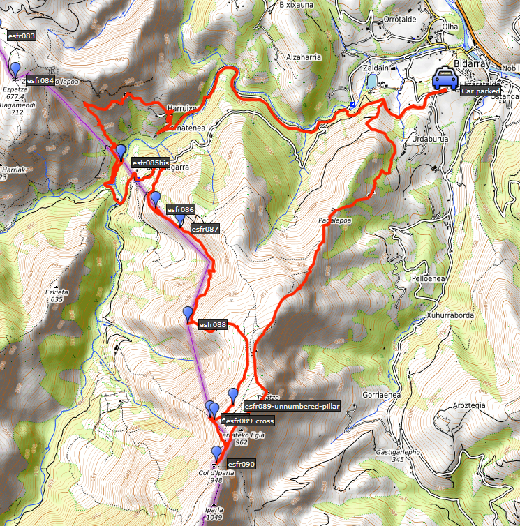
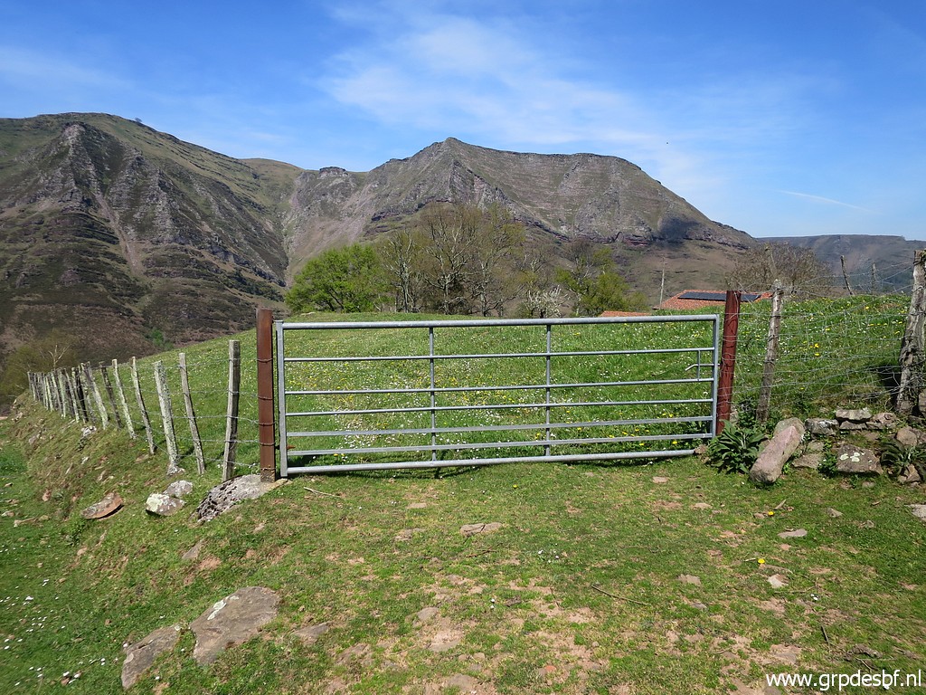 | This one. Bm086 is 70m to the NW in the meadow. (click photo to enlarge) |
 | Bm086 (click photo to enlarge) |
 | Bm086 (click photo to enlarge) |
 | Bm086 (click photo to enlarge) |
 | Bm086 (click photo to enlarge) |
 | Bm086 (click photo to enlarge) |
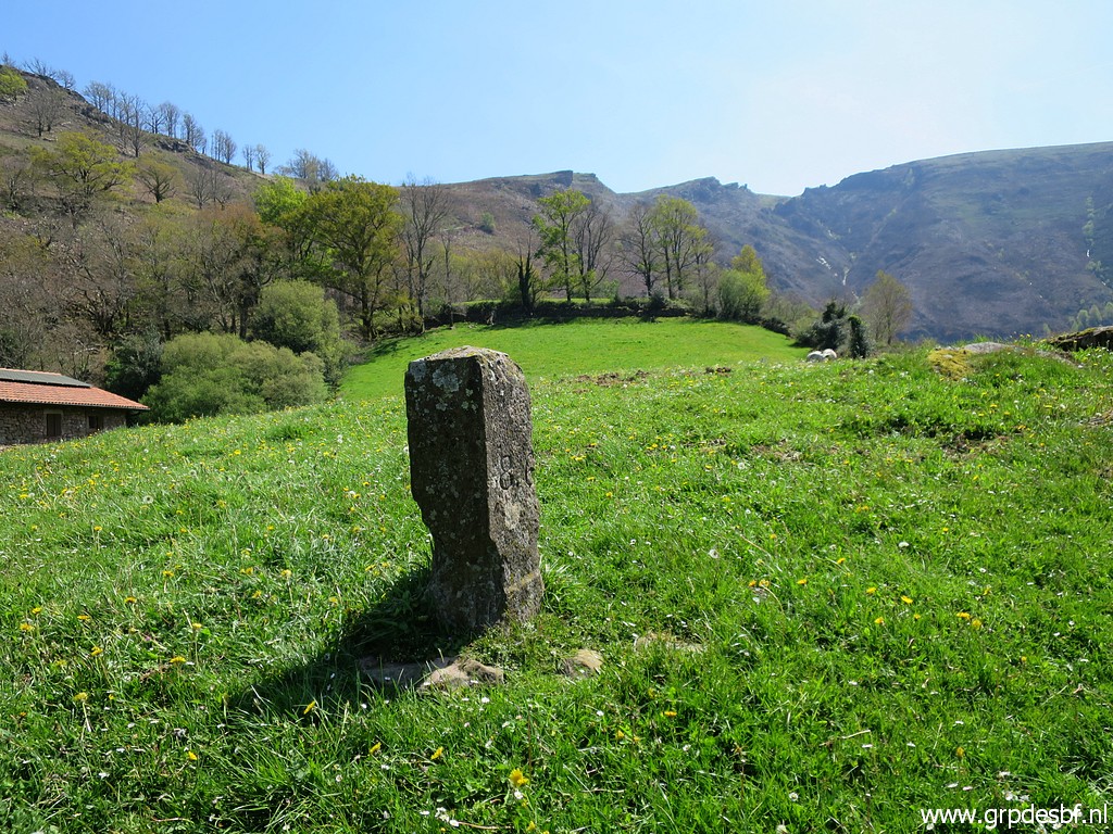
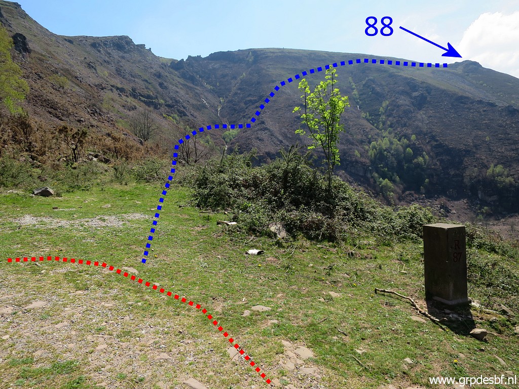
 | Back on the dirtroad and approaching bm087 (already visible). (click photo to enlarge) |
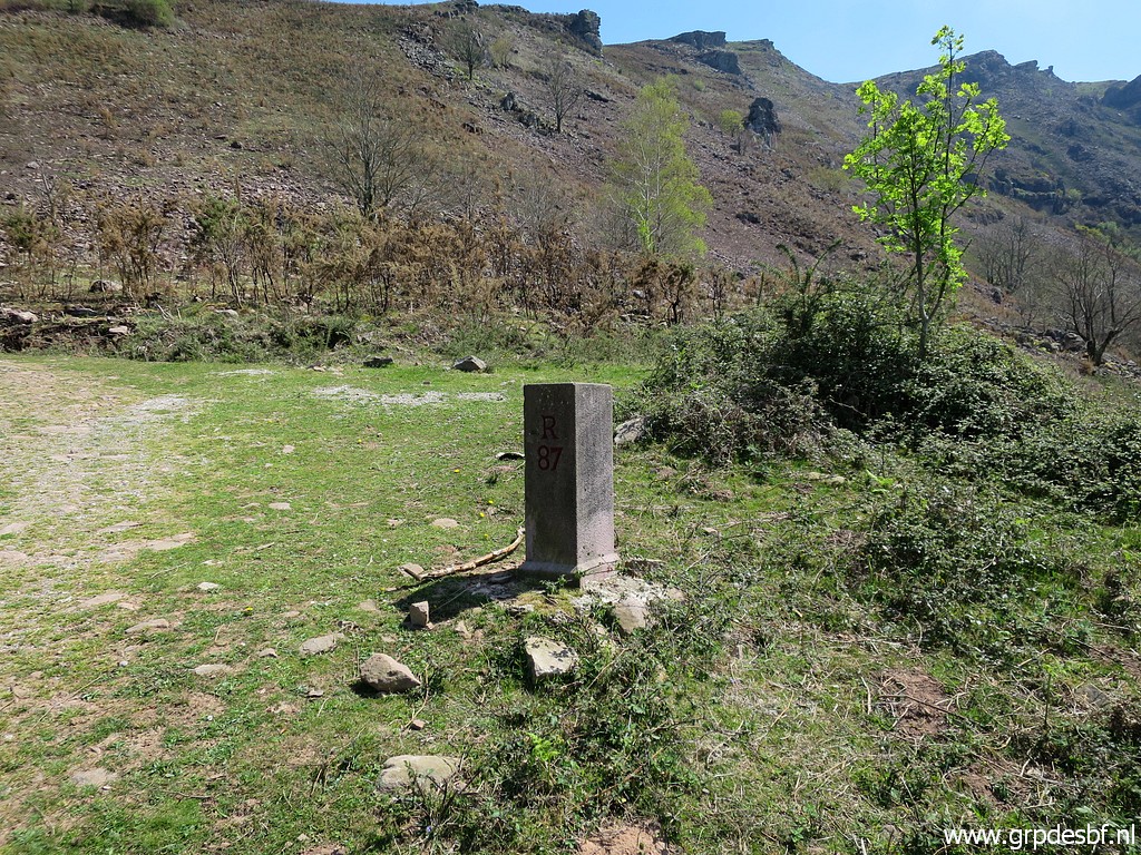 | Bm087 (click photo to enlarge) |
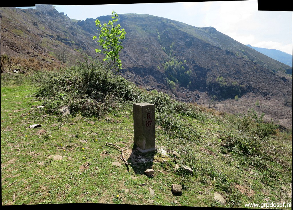 | Bm087 (click photo to enlarge) |
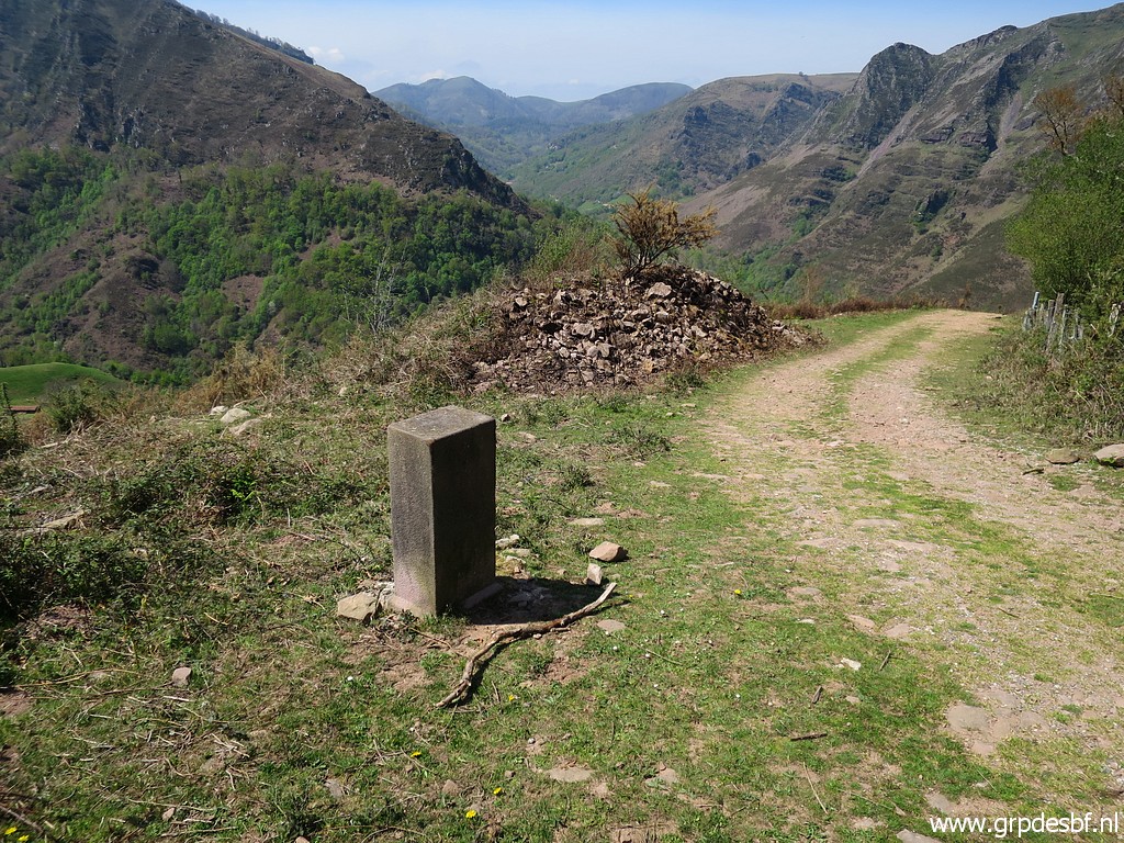 | Bm087 (click photo to enlarge) |
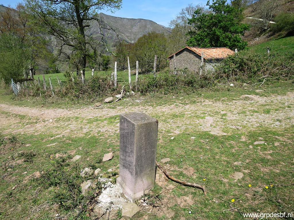 | Bm087 (click photo to enlarge) |
 | Starting from bm087 I spot this track whichI considered to be vanished. On 6-5-2010 it brought Jan-Willem and me to bm088. (click photo to enlarge) |
 | Let's show the approximate course of this track. (click photo to enlarge) |
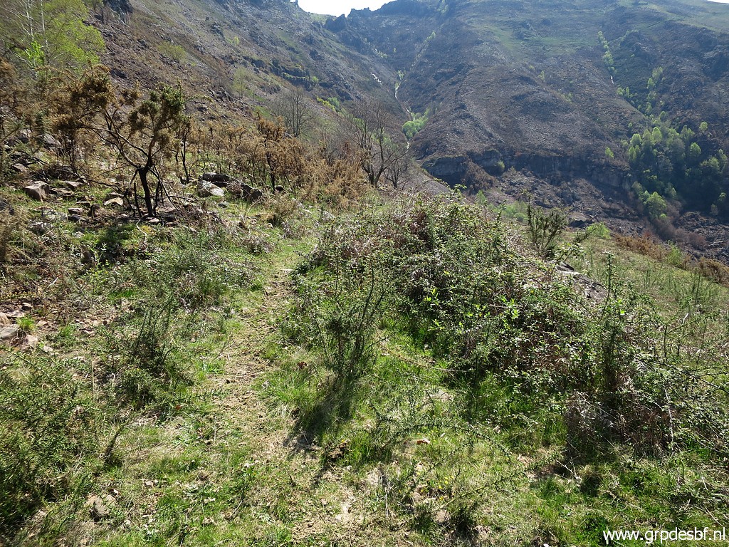
 | I decide to try it again. In the beginning the trail is distinct (click photo to enlarge) |
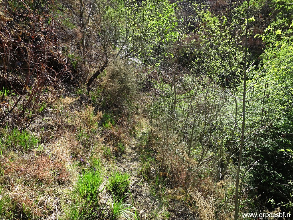 | but the undergrowth gets denser further on and the trail vaguer. (click photo to enlarge) |
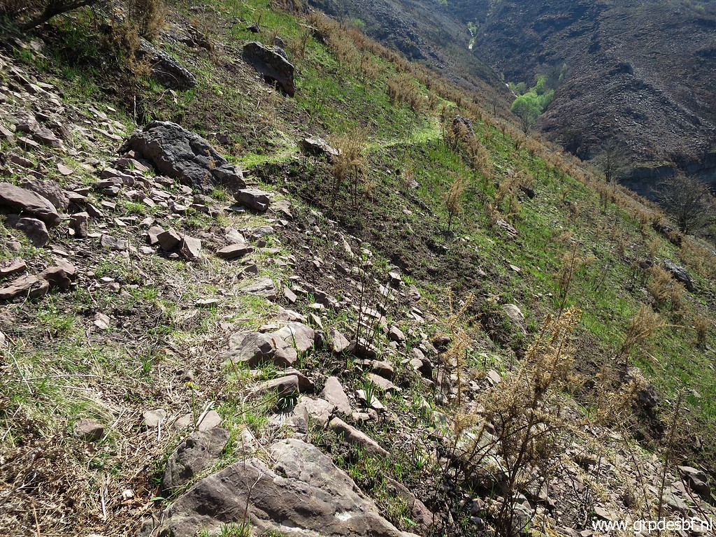
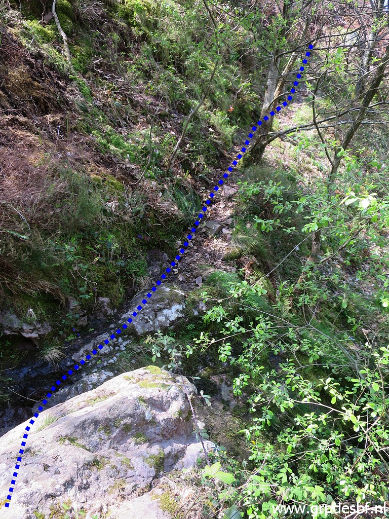 | It descends to a stream, crosses it and climbs (click photo to enlarge) |
 | uphill on - again - a distinct trail. (click photo to enlarge) |
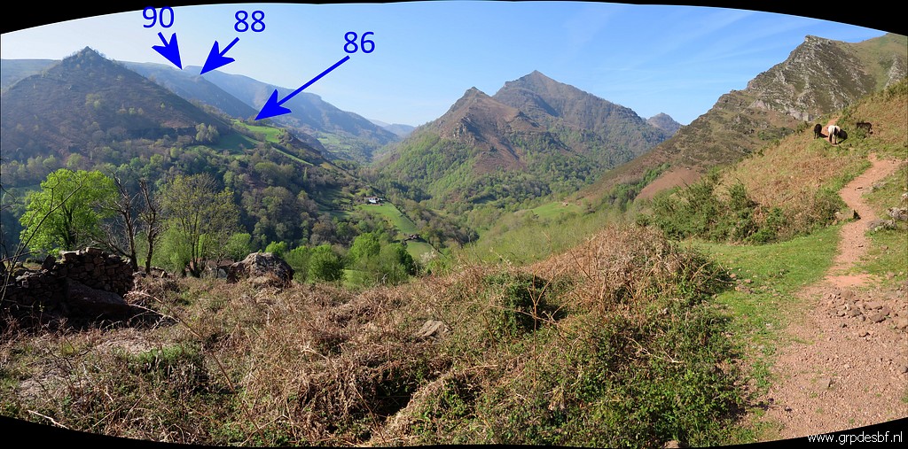
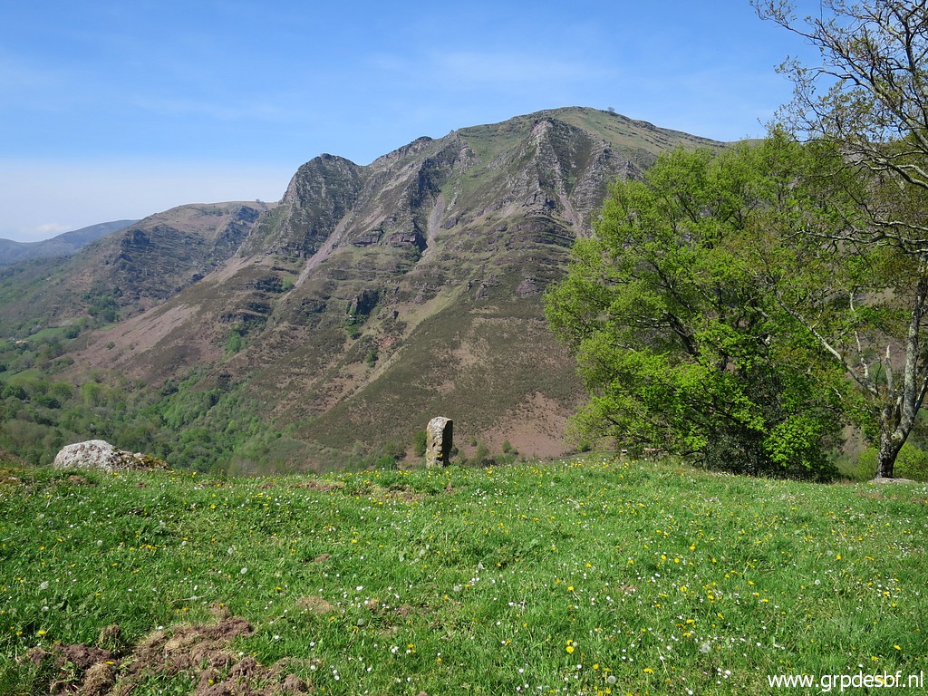
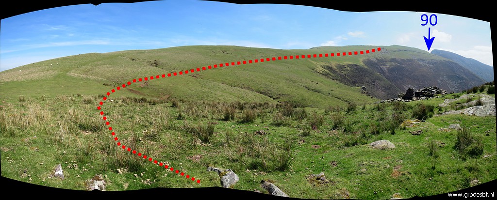
 | Looking back on this panorama. Conclusion: a possible route in winter or spring but probably in summer too overgrown. (click photo to enlarge) |
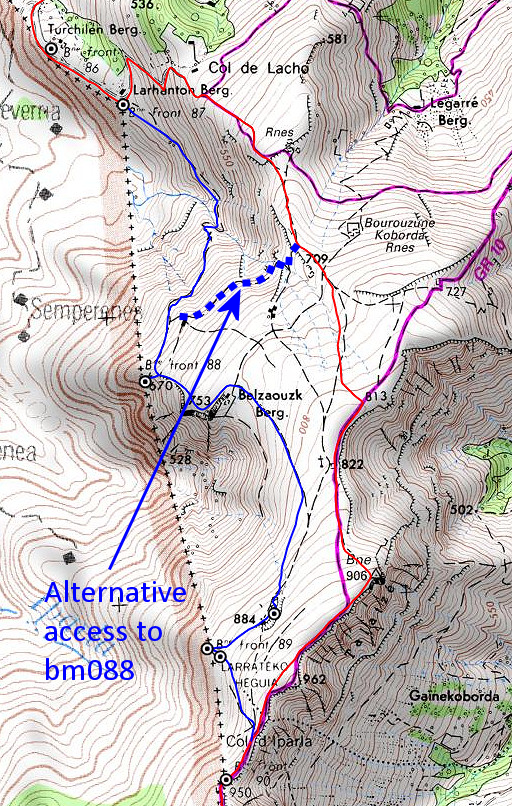 |
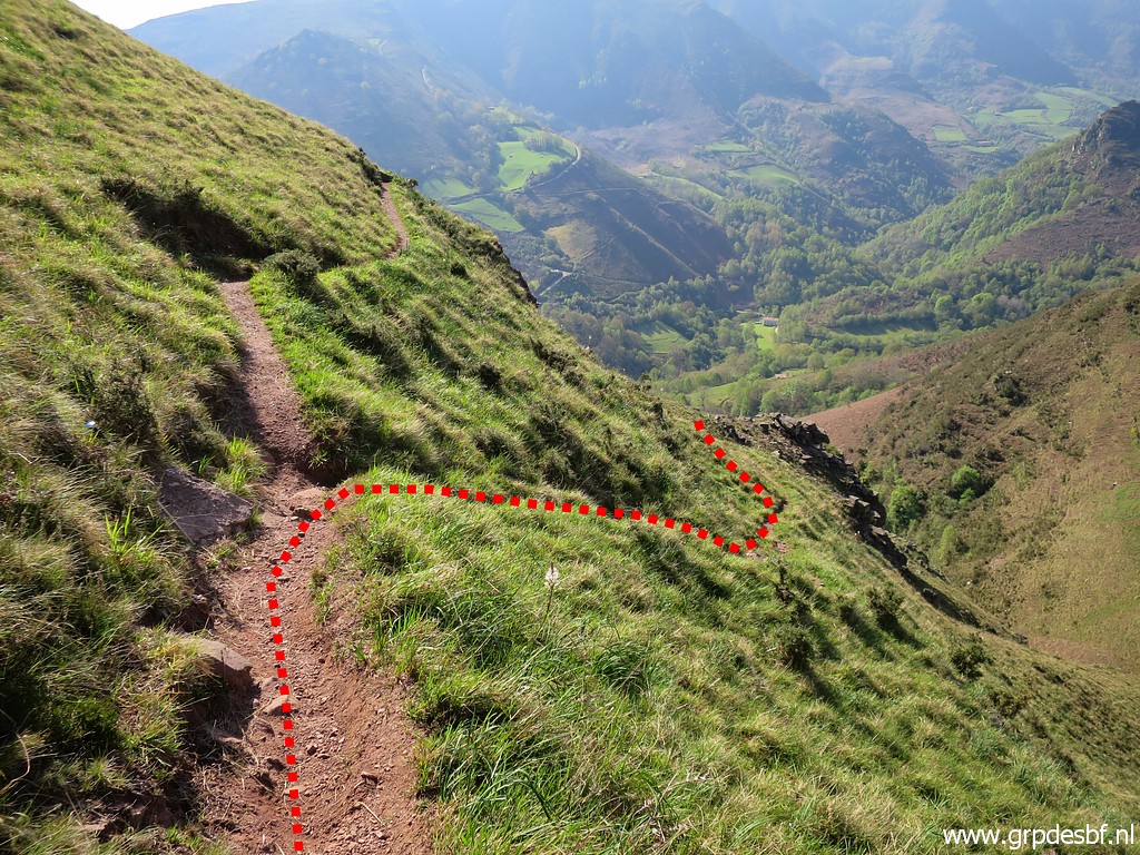
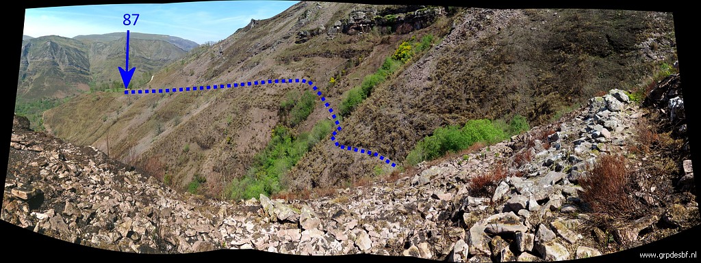
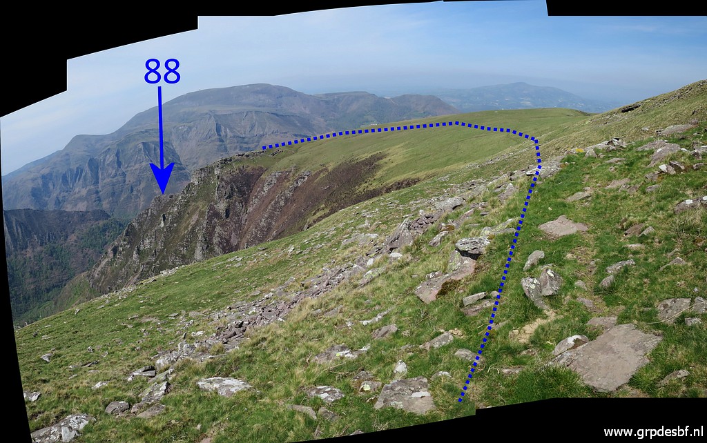
Well, what is then the alternative route to reach bm088? From bm087, follow the red route (= the main route of the GRPdesBF) uphill. Then take the blue dotted shorcut to reach bm088. |
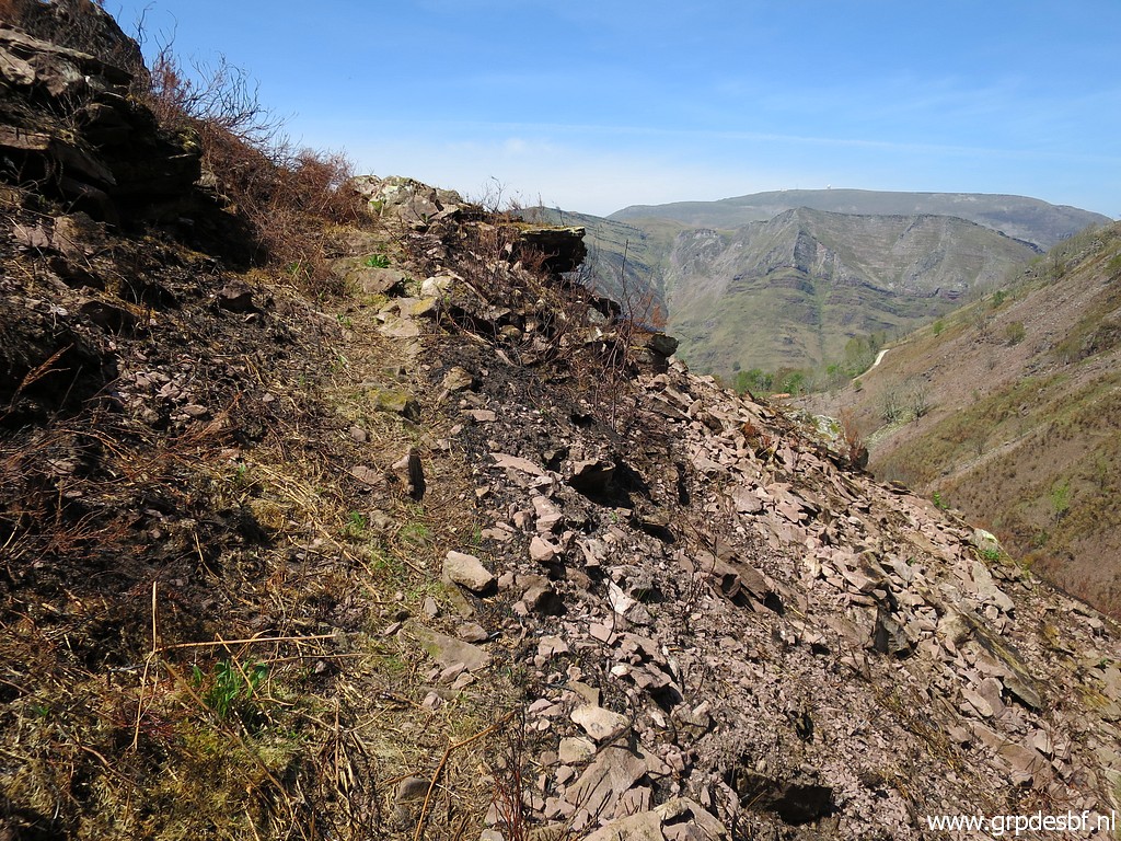
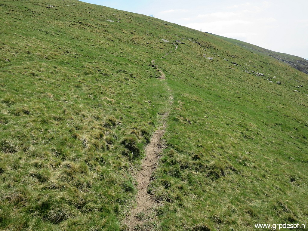
 | Almost uphill (click photo to enlarge) |
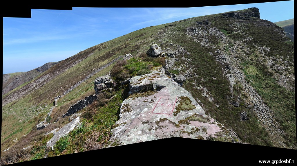
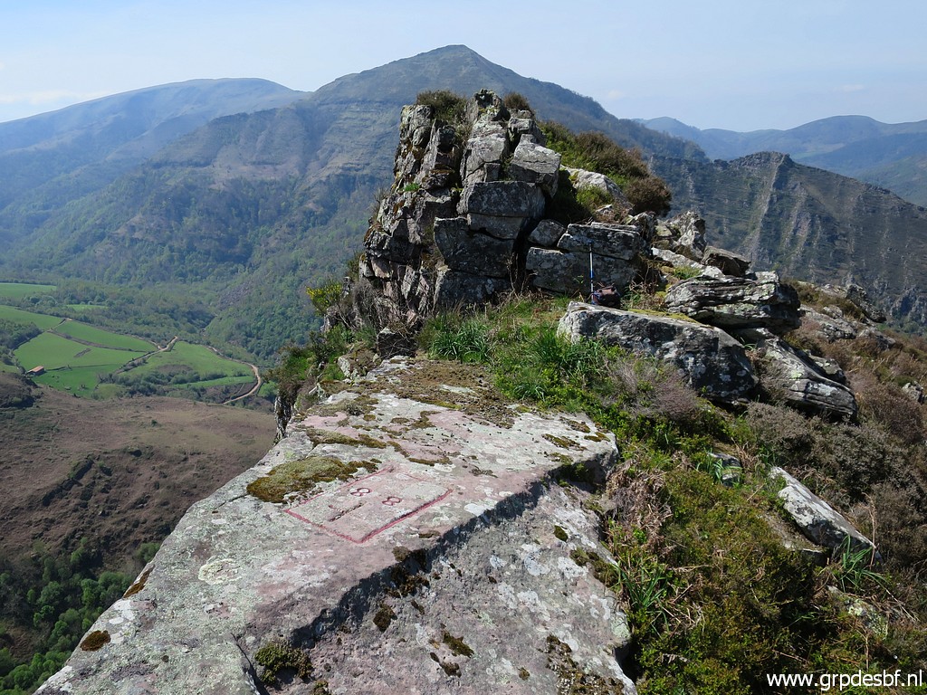
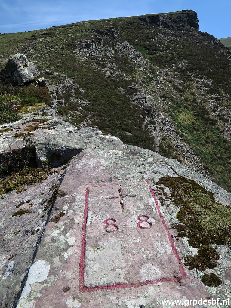
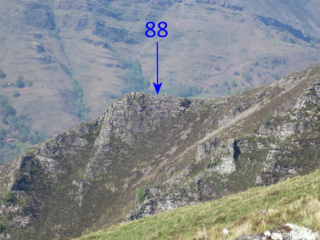
 | and now arriving at the flat rock (click photo to enlarge) |
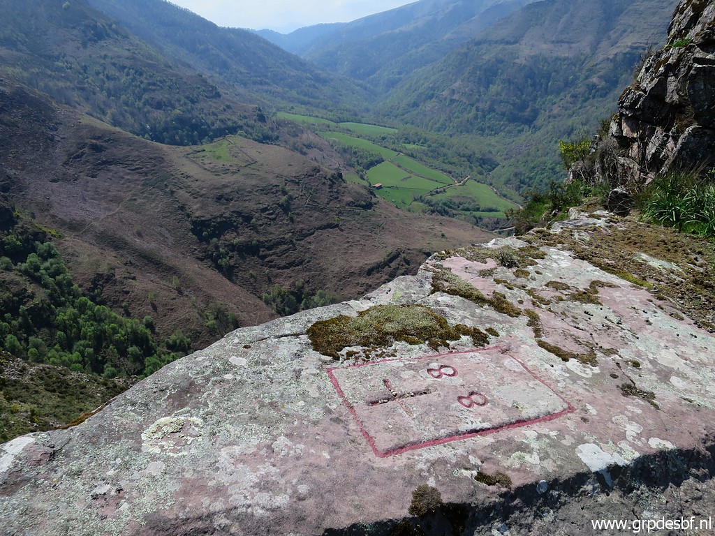
 | which is bordercross bm088. (click photo to enlarge) |
 | Bm088 (click photo to enlarge) |
 | Bm088 (click photo to enlarge) |
 | Bm088 (click photo to enlarge) |
 | Bm088 (click photo to enlarge) |
 | Bm088 (click photo to enlarge) |
 | Bm088 I take a mini-break, the climbing was tough. (click photo to enlarge) |
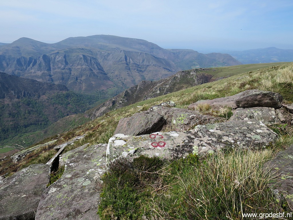
 | Enough pictures of bm088, I climb uphill and look back. (click photo to enlarge) |
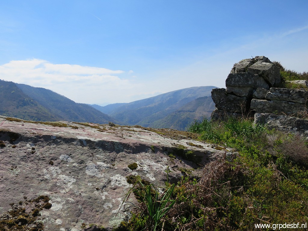
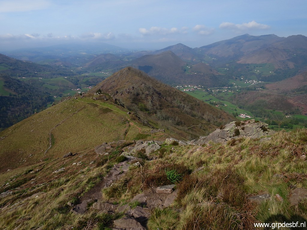
 | This panorama showes the route ahead. (click photo to enlarge) |
 | I follow this cattle track (click photo to enlarge) |
 | and look back again. (click photo to enlarge) |
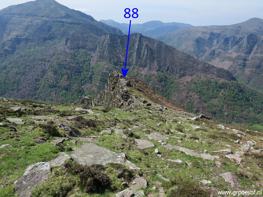
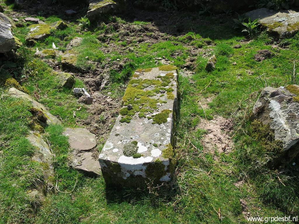
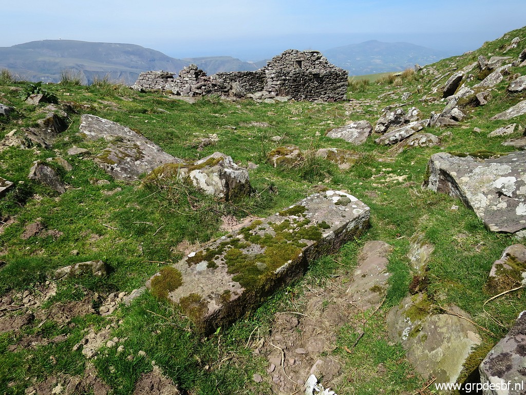 | Then arriving at this peculiar pillar. (click photo to enlarge) |
 | It has the dimensions and form of a regular bordermarker but lacks any engravings. On 6-5-2010 Jan-Willem and me managed to turn it and check all four sides: no engravings found. It lies ± 275m NE of bm089 and is a mystery. (click photo to enlarge) |
 | Another picture and (click photo to enlarge) |
 | this is the last one. (click photo to enlarge) |
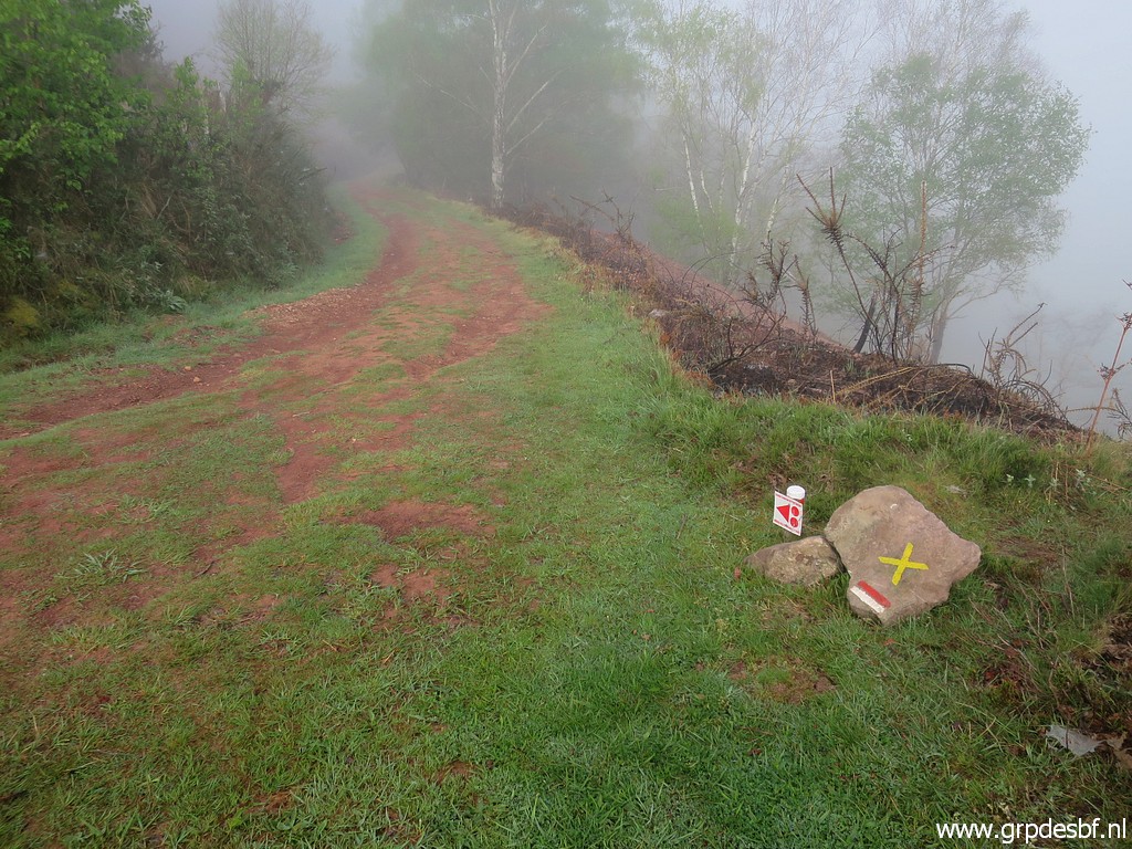
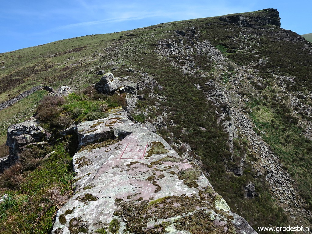
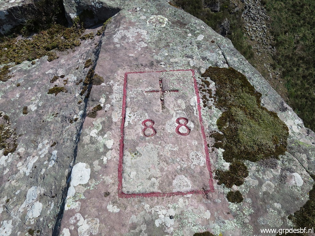
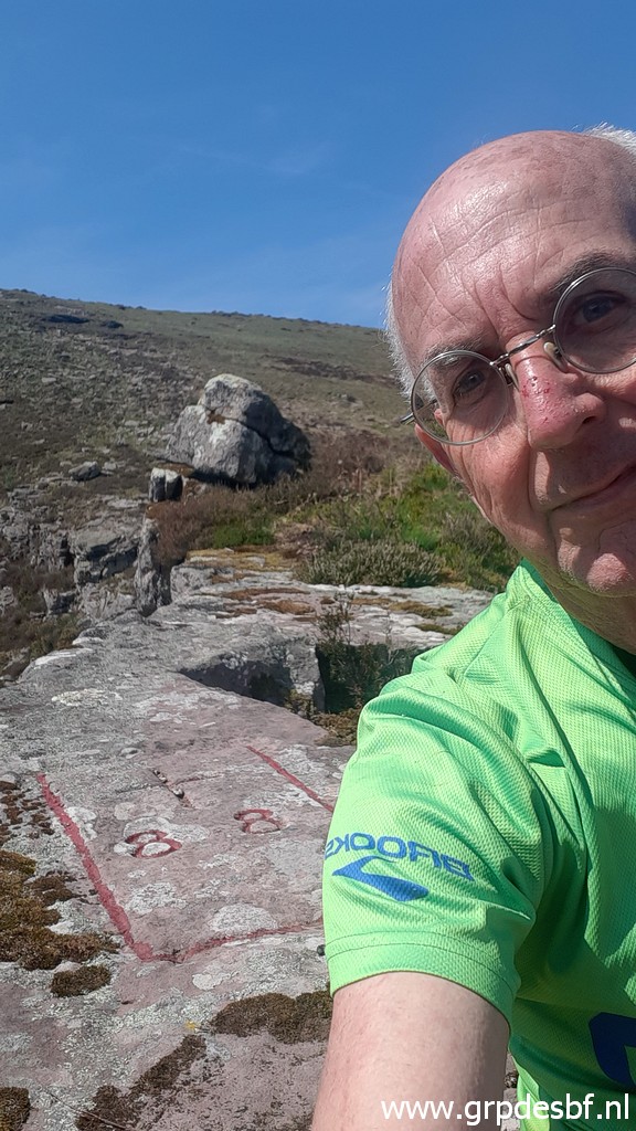
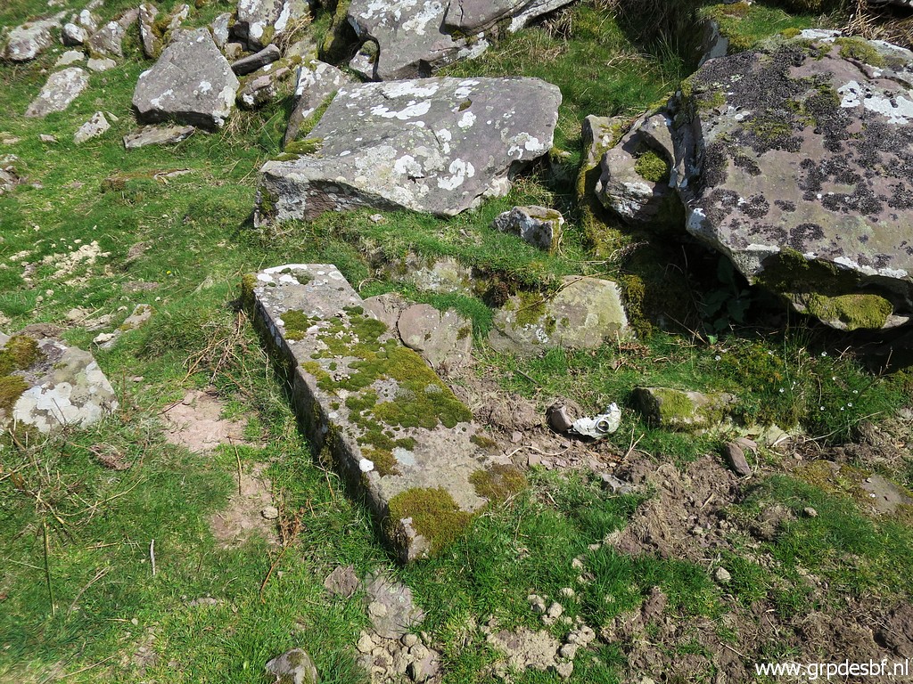
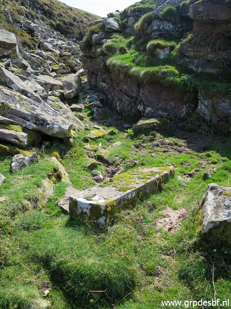
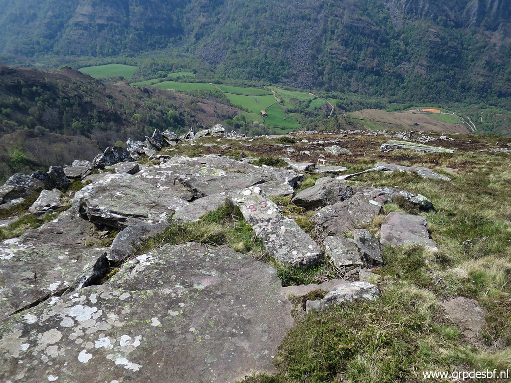
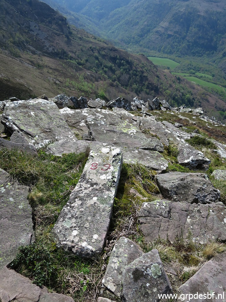
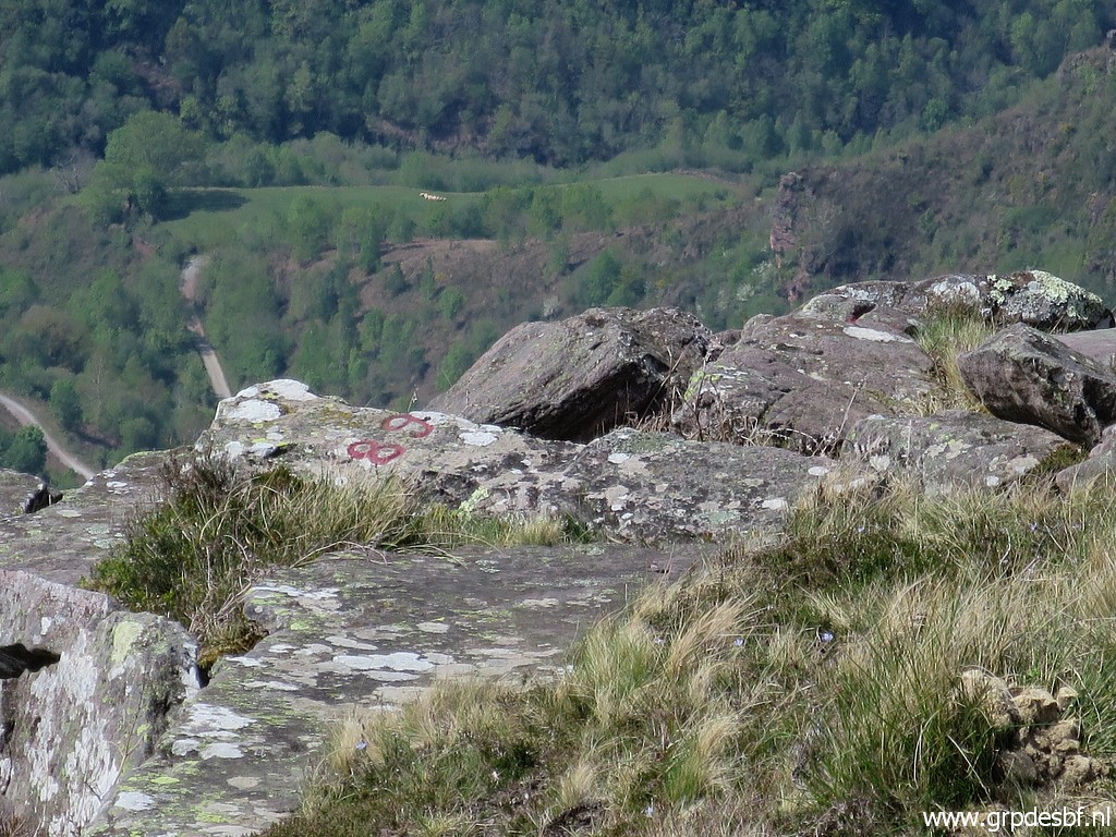
 | Continuing to another mystery. This flat rock is ± 50m SE of bm089 (click photo to enlarge) |
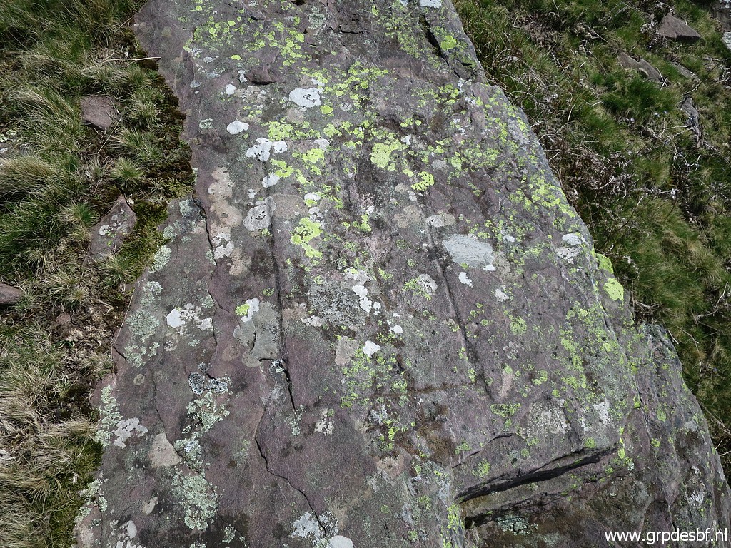 | and has a rectangular engraving (click photo to enlarge) |
 | and a cross (click photo to enlarge) |
 | and with difficulty a '9' can be seen. The '8' is an estimation. The origin or reason of this cross - so similar to for example bm088 - is unknown. (click photo to enlarge) |
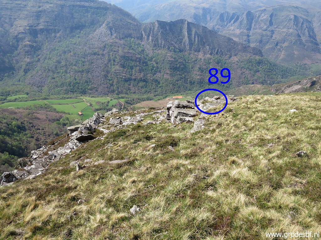
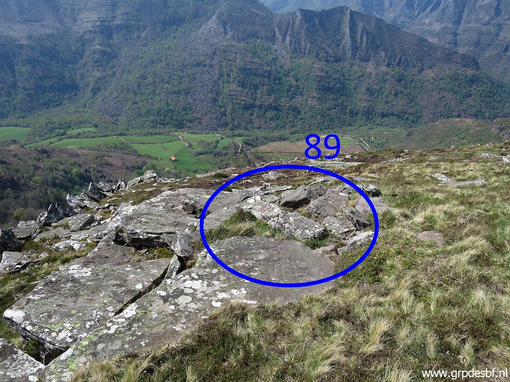 | Then a bit descending to bm089, rather difficult to find between the other rocks. (click photo to enlarge) |
 | Bm089 (click photo to enlarge) |
 | Bm089 (click photo to enlarge) |
 | Bm089 (click photo to enlarge) |
 | Bm089 with (click photo to enlarge) |
 | a zoom-in to bm088. (click photo to enlarge) |
 | Another view of bm089 (click photo to enlarge) |
 | with this zoom-in. (click photo to enlarge) |
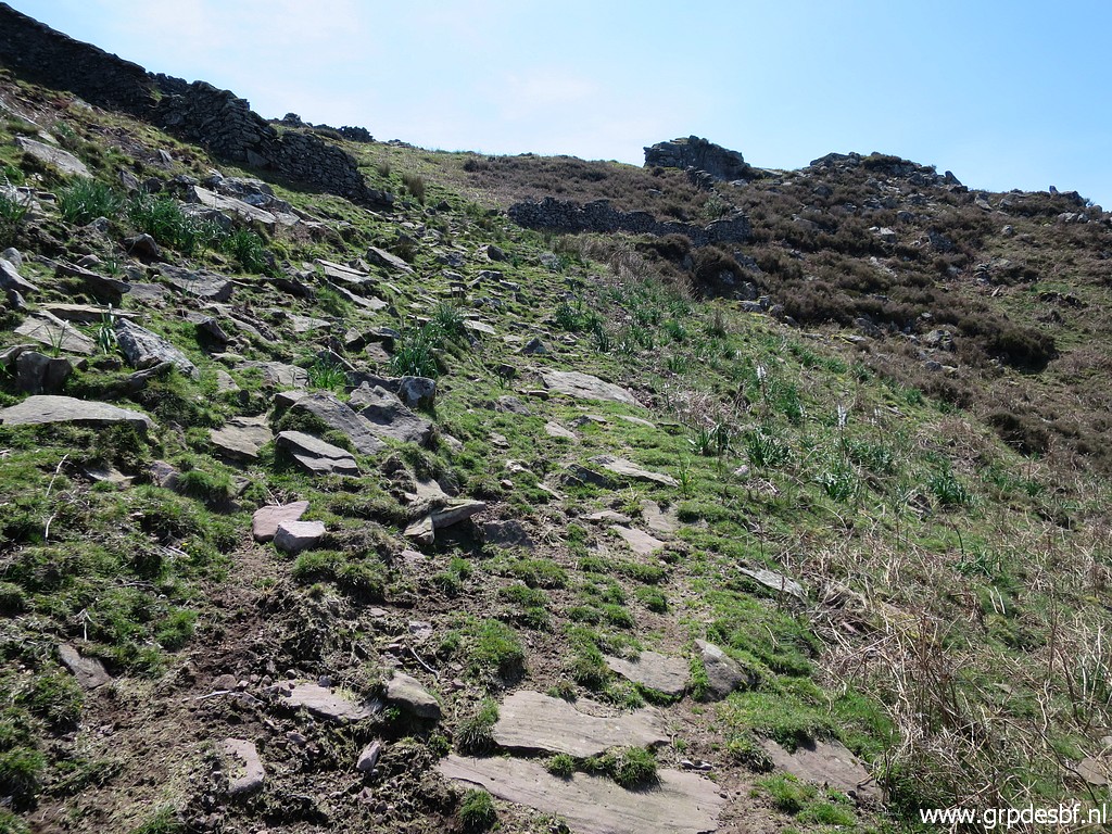
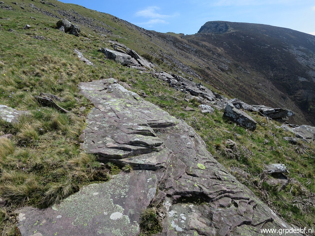
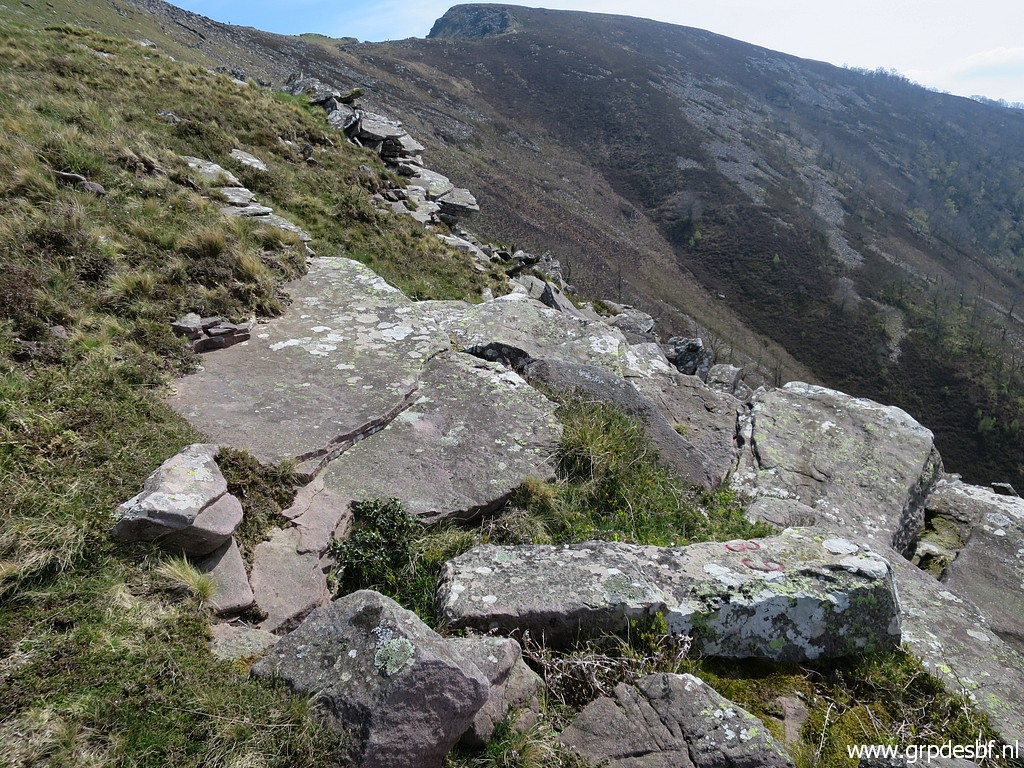
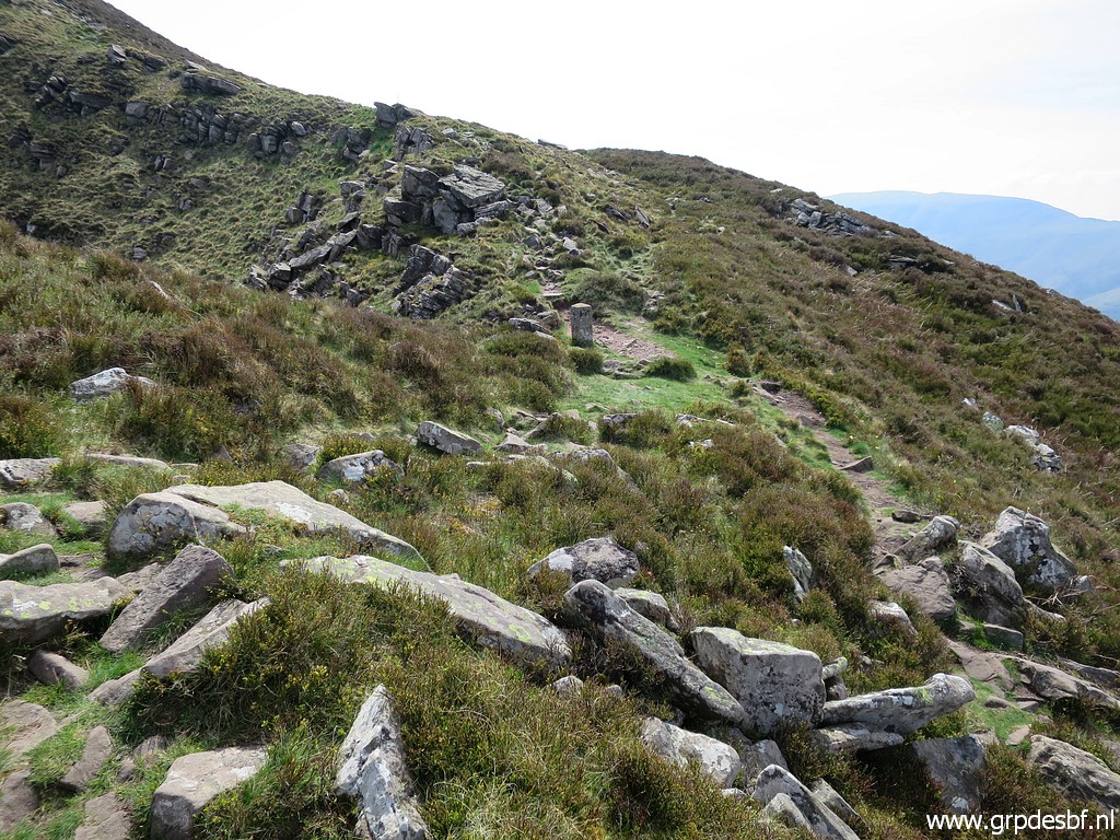
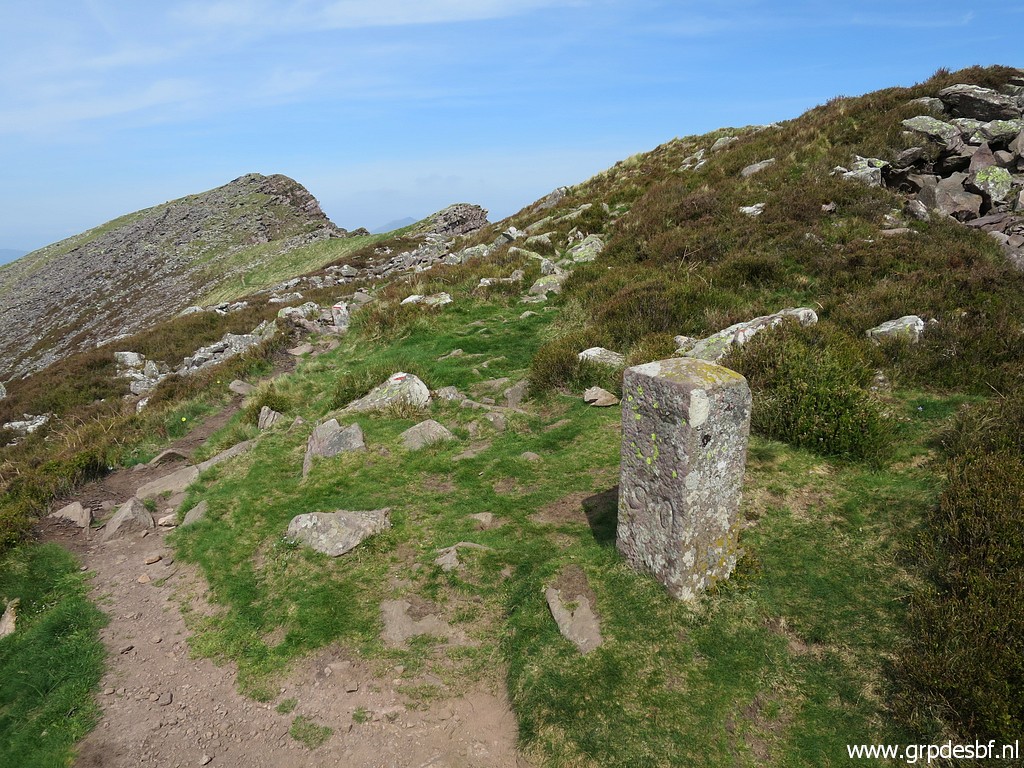
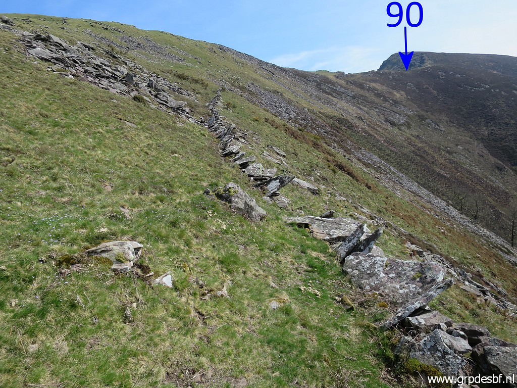 | Now climbing - along this stone 'wall' - towards bm090. (click photo to enlarge) |
 | Uphill, there is this passage through the wall (click photo to enlarge) |
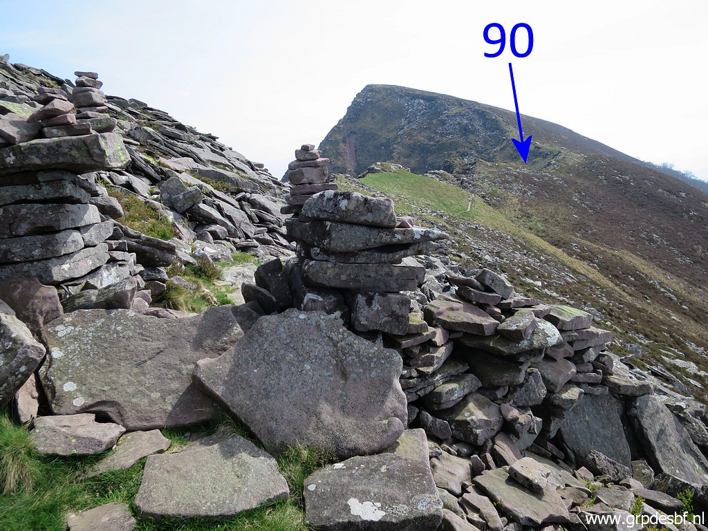
 | and further on, bm090 gets in sight. (click photo to enlarge) |
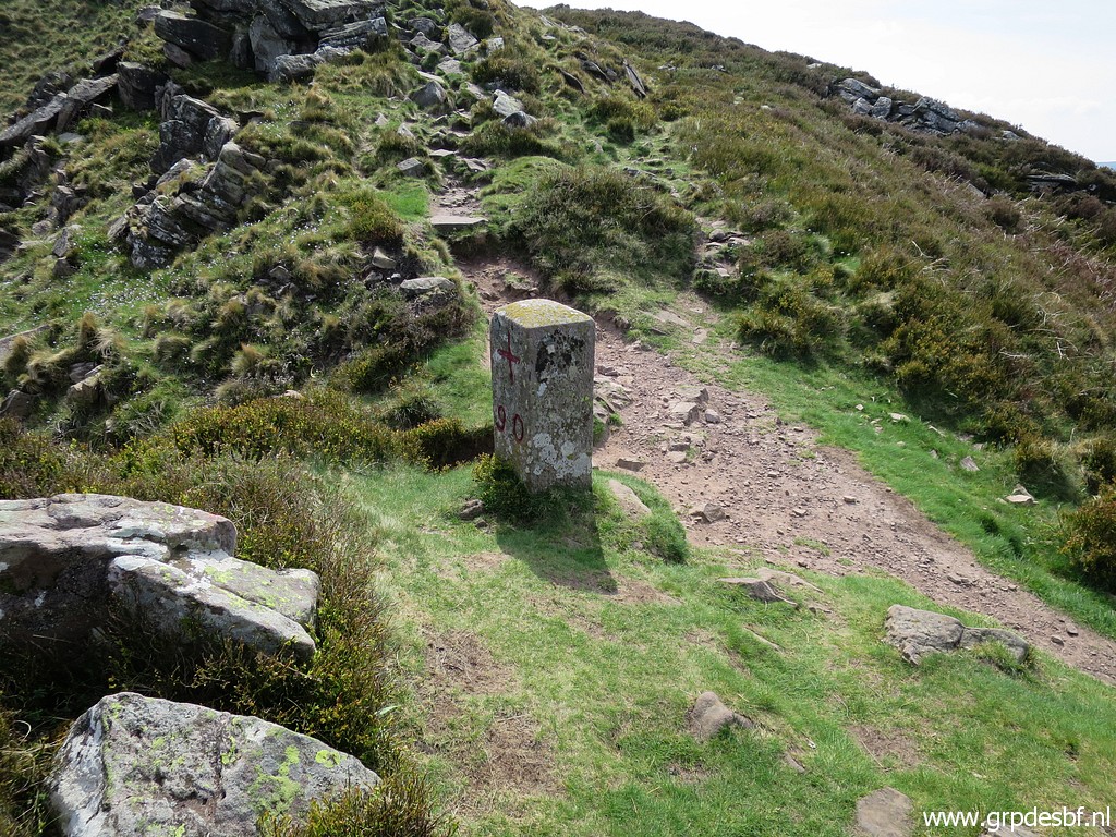 | Bm090 (click photo to enlarge) |
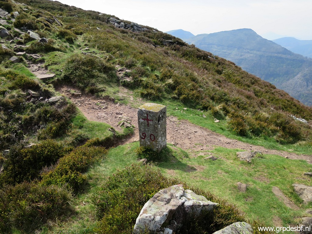 | Bm090 (click photo to enlarge) |
 | Bm090 (click photo to enlarge) |
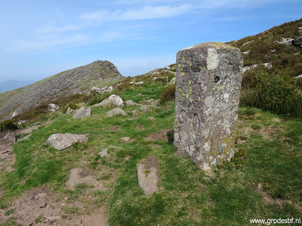 | Bm090 (click photo to enlarge) |
 | Bm090 (click photo to enlarge) |
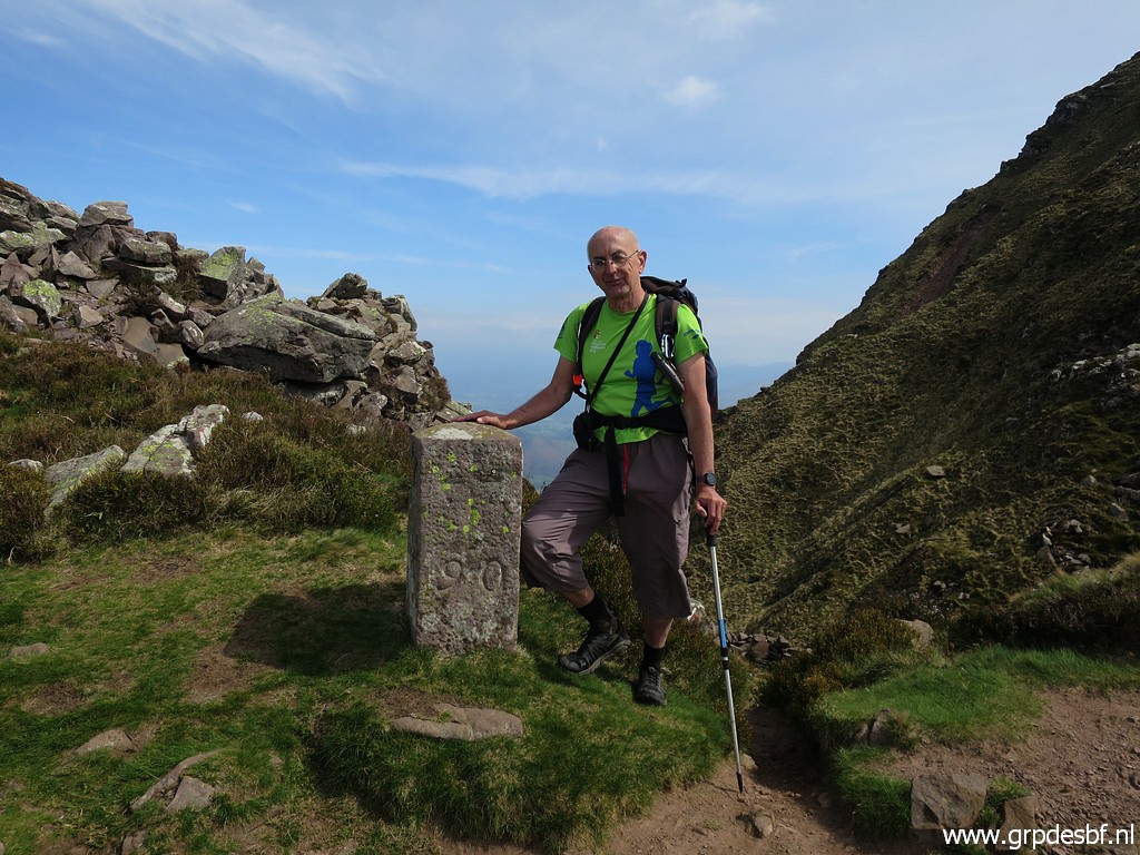 | Bm090 (click photo to enlarge) |
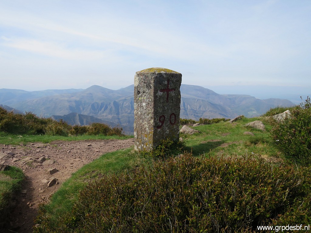 | Bm090 (click photo to enlarge) |
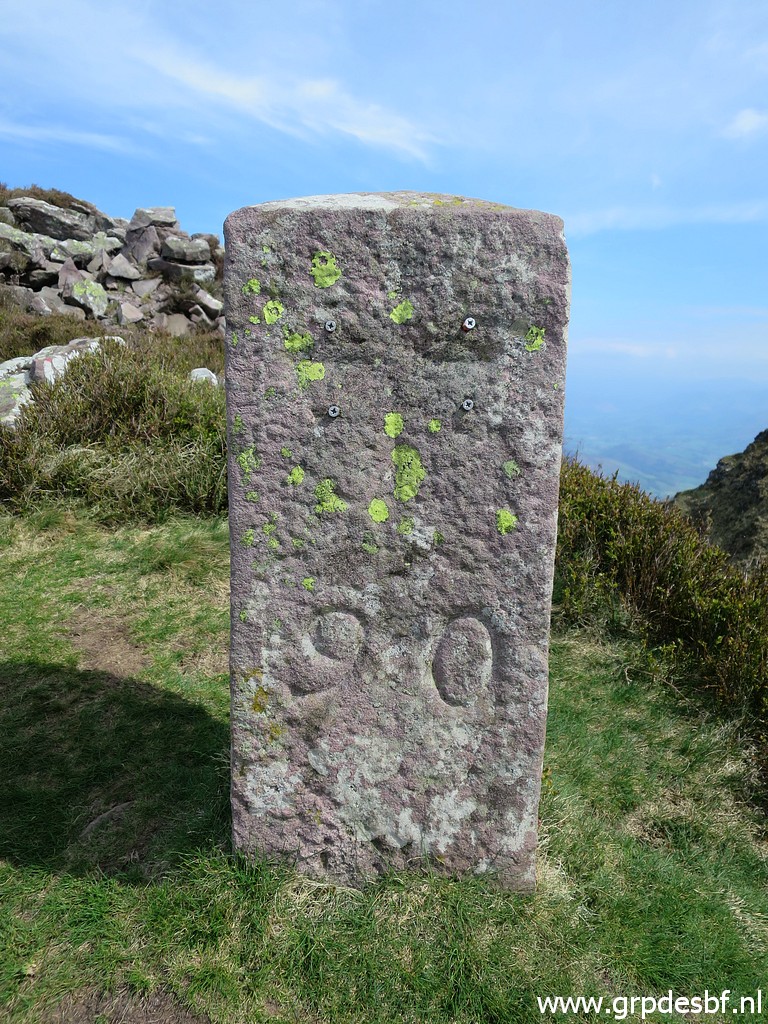 | Bm090 (click photo to enlarge) |
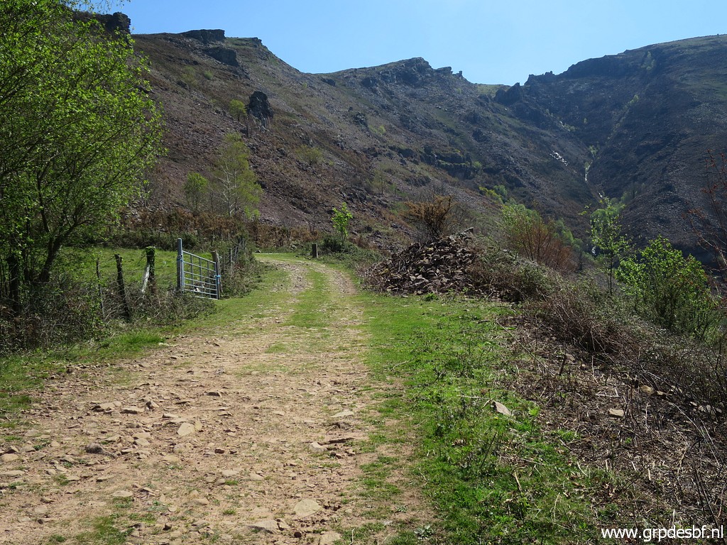
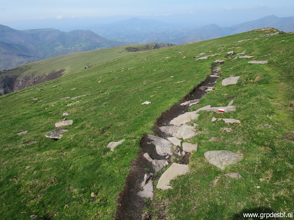 | The 'work' has been done, I follow the GR10 back to Bidarray (click photo to enlarge) |
 | which is annoying longer than I thought (about 2,5 hours) (click photo to enlarge) |
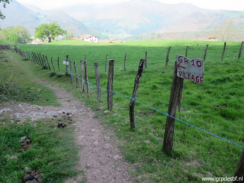
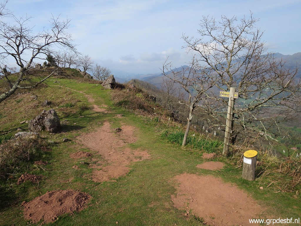 | Waysigns in between. (click photo to enlarge) |
 | Still 45 minutes to go. (click photo to enlarge) |
 | The last part before reaching Bidarray. It's already late and I drive immediately to Carlos and Conchita's apartment for dinner, updating and pleasant chats. (click photo to enlarge) |