|
The
bordermarkers of the Pyrenees : all my trips
 |
|
| -
thursday 25 august
2022 - Redoing bm236 (& 237) |
 |
 |
Summary:
part of a series of 9 daytrips in august & september 2022 across
the Pyrenees. The main goal was to finish my plan to have visited all
bordermarkers at least twice. It was also a kind of sentimental farewell journey, visiting old friends and cherished places. This is daytrip 2. Today: solo-trip to visit once again Pic d'Orhy and the probable spot of the disappeared bm236. Also checking an unlikely spot of 236 on a Spanish map. Weather: foggy cq low clouds, later sunny Basecamp: Camping Asolaze near Isaba |
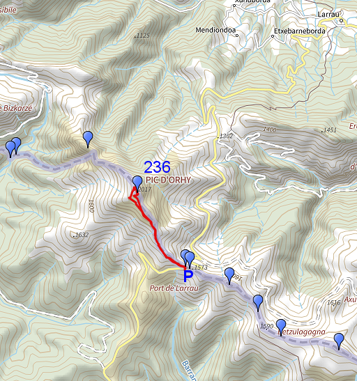
 track-20220825.kml
(click to open this trip in Google Earth or copy link to Google Maps; click right on this link to download gpx-version). The gps-track has not been manually corrected which explains the inaccuracy and misalignment at some points. For cartographic backgrounds: see the cartography-page Gps-waypoints of all bordermarkers (most recent version): kml: esfr-bordermarkers-all-waypoints.kml gpx: esfr-bordermarkers-all-waypoints.gpx (with elevation added by gpsvisualizer.com) |
|
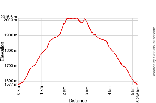 |
According to Garmin
Basecamp (uncorrected track with elevation added by Gpsvisualizer.com): Distance: 5,2 km Max-height: 2016m Min-height: 1577m Elevation: +540m -540m Total elevation: 1080m Start 12:43 Finish 15:35 Total time: 2:53 |
 | When arriving at Port de Larrau, it's too foggy to start walking. (click photo to enlarge) |
 | For some reason the descent to Larrau is blocked. (click photo to enlarge) |
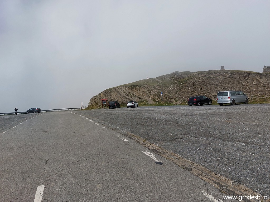 | After 1,5 hour of waiting & sleeping in the car, there is more visibility. (click photo to enlarge) |
 | Climbing up the ridge and not forgetting (click photo to enlarge) |
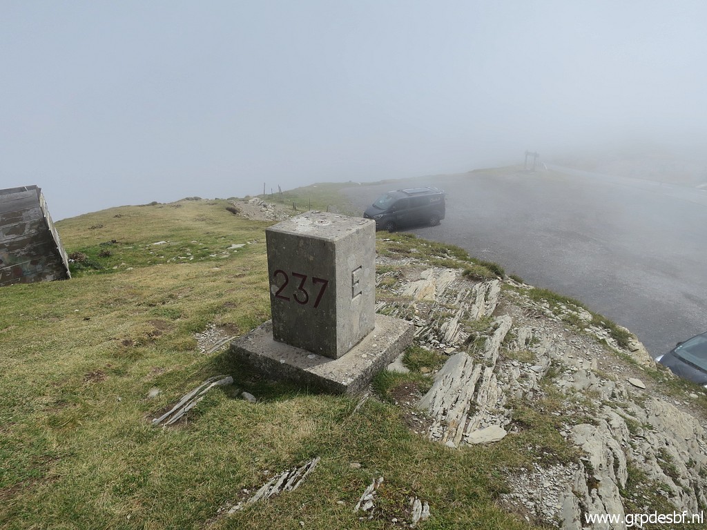 | to redo bm237. (click photo to enlarge) |
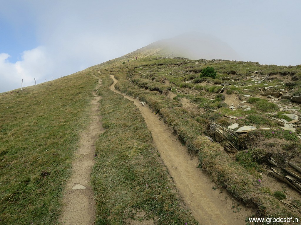 | The Pic d'Orhy is popular and the trail is easy to walk on. (click photo to enlarge) |
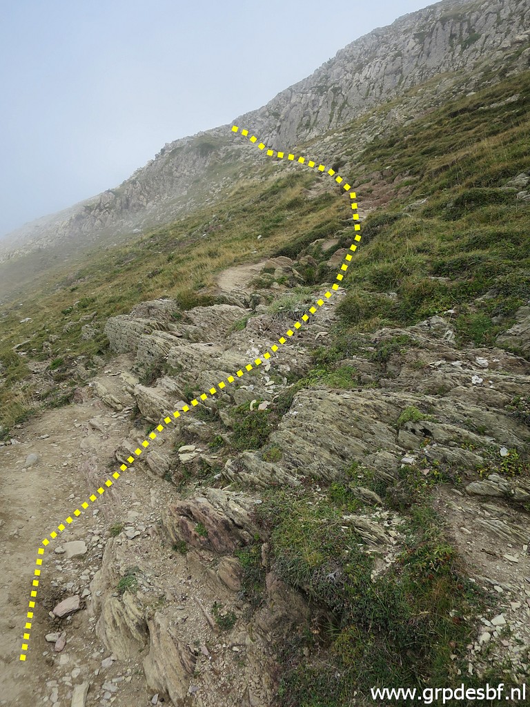 | There is a shortcut to the top-ridge and that's the one I take. (click photo to enlarge) |
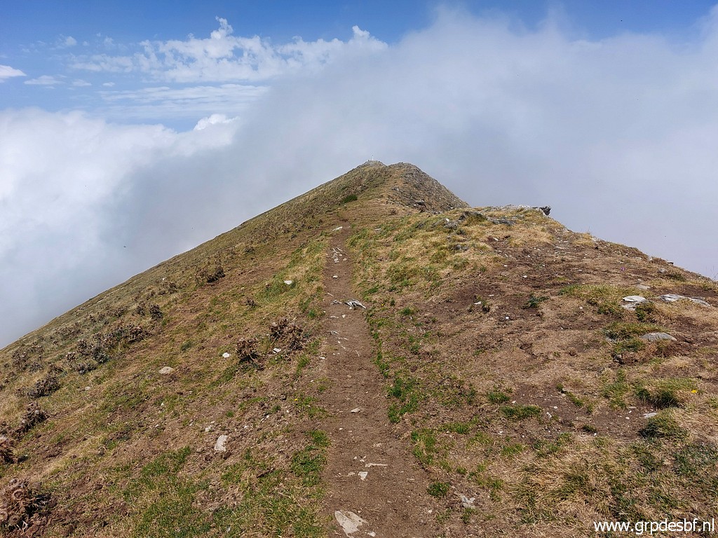 | After
1 hour I have arrived at the top-ridge of Pic d'Orhy. It consists of 3
summits with the most southern one being the highest one. (click photo to enlarge) |
 |
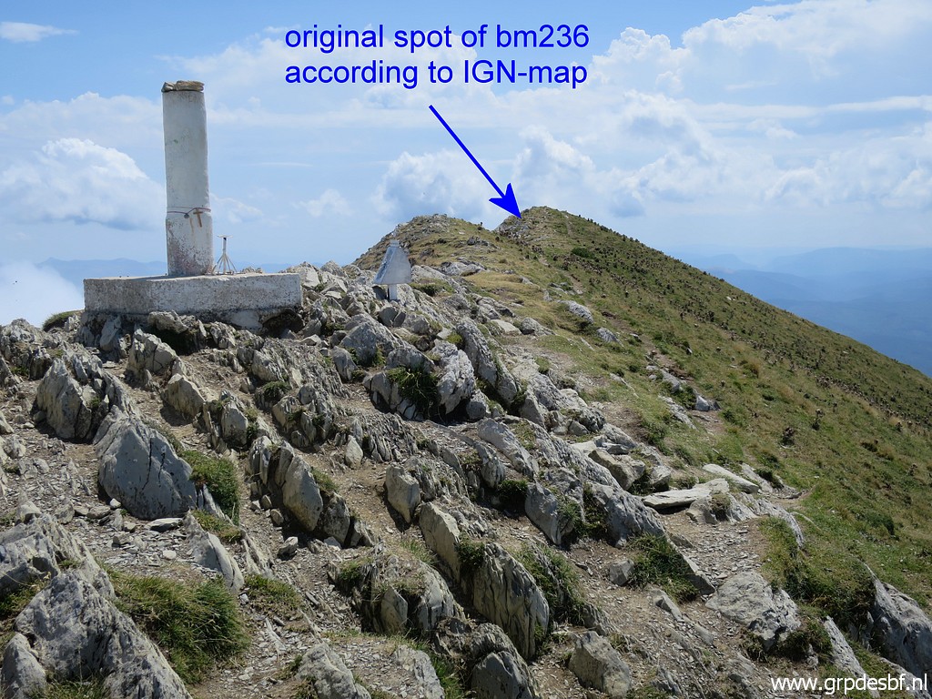
Bm236 (a cross) has disappeared or been destroyed. The treaty gives no clue to its position on the ridge and the only indication we have is the one on the french IGN-map. The small Spanish map hereunder shows the three summits. 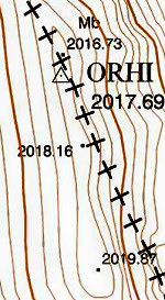 |
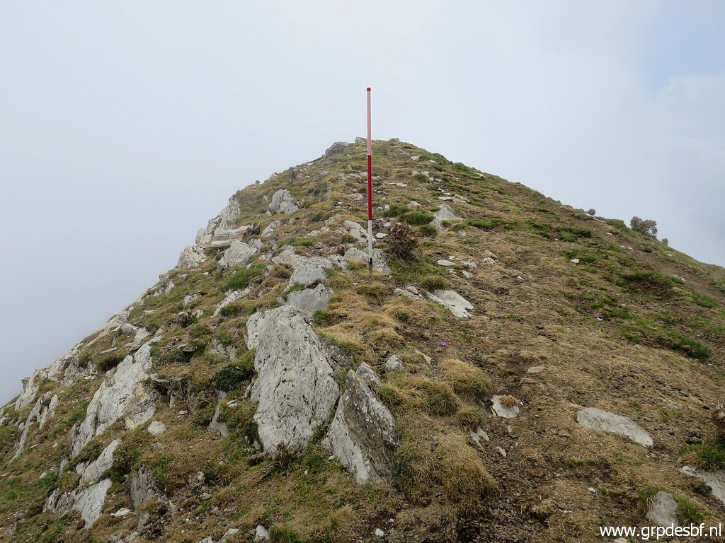 | The position of bm236 on the french IGN-map is approximately here, half way between the southern and the middle summit. This picture: looking to the S (click photo to enlarge) |
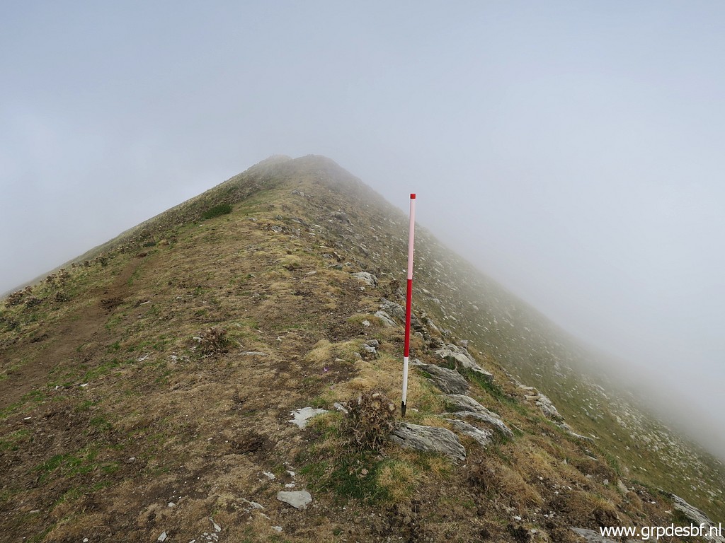 | Same spot of bm236 but now looking N. (click photo to enlarge) |
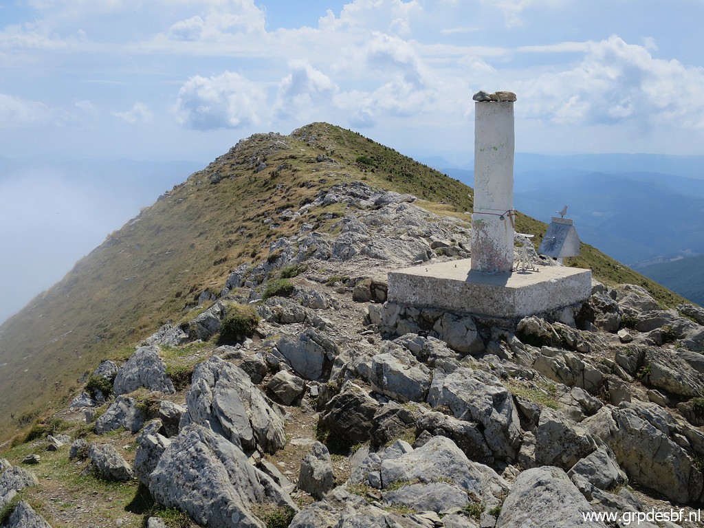
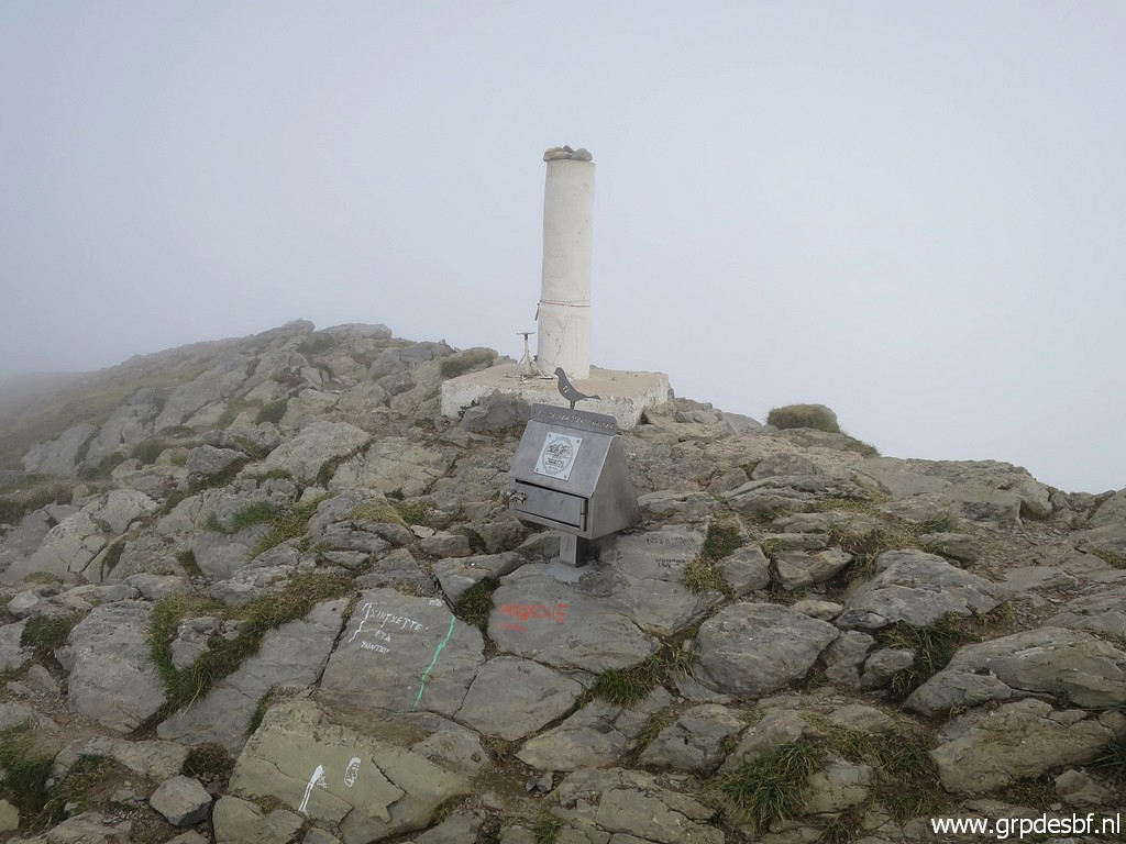 | At the most northern summit (usually indicated on the maps as thé Pic d'Orhy) stands this geodetic pillar (click photo to enlarge) |
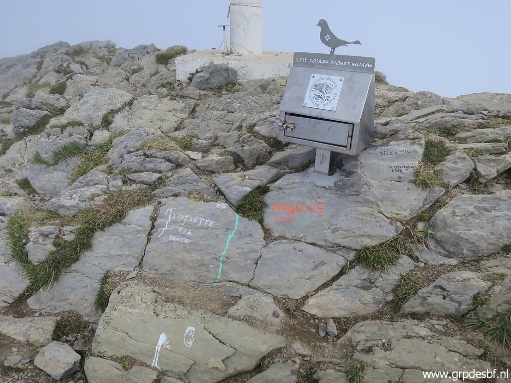 | with this box with a notebook to record your ascent. (click photo to enlarge) |
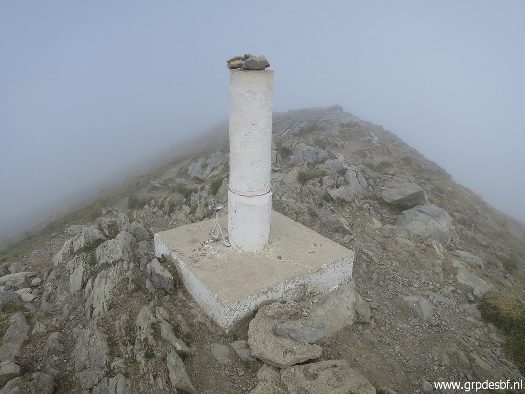 | The geodetic pillar (click photo to enlarge) |
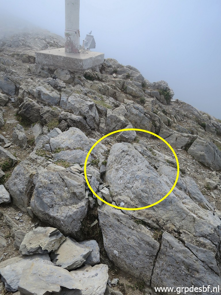 | with at its NE-side this rock (click photo to enlarge) |
 | with a lowered rectangular (click photo to enlarge) |
 | which might be man-made. Murgoi thought that this could be (the remnants) of the original cross cq number. I did a closer check on 30-7-2017 and concluded that it was too small to be of any meaning related to bordermarkers (when compared to other crosses). (click photo to enlarge) |
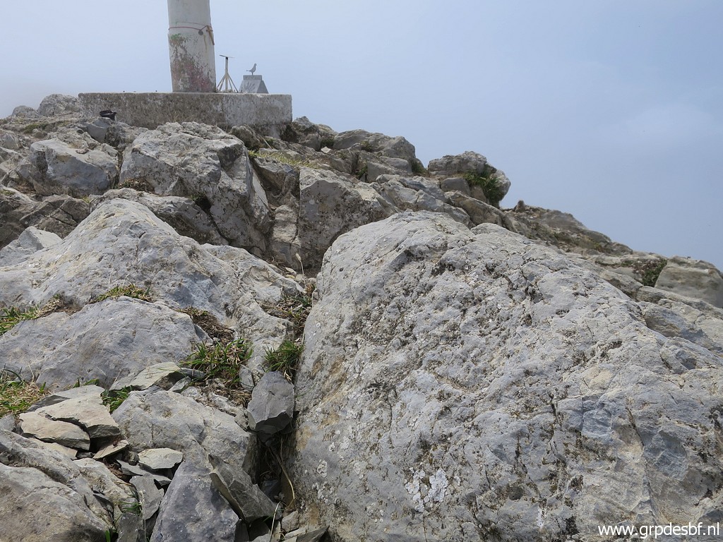
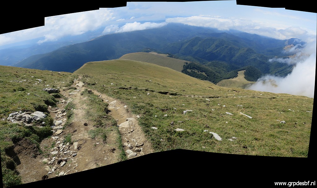
 | Looking S, one can distinguish the two southern summits. (click photo to enlarge) |
 | And another view. (click photo to enlarge) |
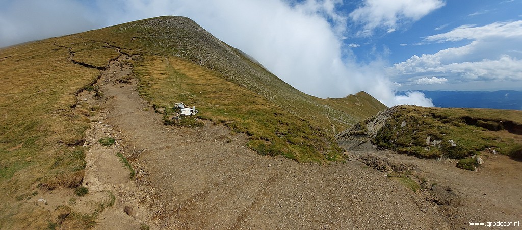
 | Now I descend along the main trail. (click photo to enlarge) |
 |
And I have a special reason for that: on the online Navarra Idena-map I spotted another position of bm236. A very unlikely position (not on the ridge but down at the mountainside) but I want to check it nevertheless. But nothing found. |
 | Then returning on the main trail to Port de Larrau and back to the camping. (click photo to enlarge) |