|
The
bordermarkers of the Pyrenees : all my trips
 |
|
| -
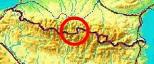
sunday 28 august
2022 - Redoing bm409, 409-1es, -3es, 4es, 6es,7es, 7fr & 410 |
 |
 |
Summary:
part of a series of 9 daytrips in august & september 2022 across
the Pyrenees. The main goal was to finish my plan to have visited all
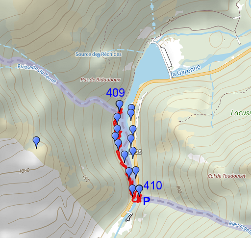
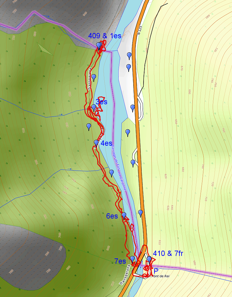
bordermarkers at least twice. It was also a kind of sentimental farewell journey, visiting old friends and cherished places. This is daytrip 4. Today: - an early morning run in Lourdes up the Pic du Jer - a check on the progress of the construction of the bicycle trail along the Garonne (website) - a check of the curious stone which Corinne found at Pont du Roi - redoing some bordermarkers along the Garonne Weather: warm, sunny |
 track-20220828.kml
(click to open this trip in Google Earth or copy link to Google Maps; click right on this link to download gpx-version). The gps-track has not been manually corrected which explains the inaccuracy and misalignment at some points. For cartographic backgrounds: see the cartography-page Gps-waypoints of all bordermarkers (most recent version): kml: esfr-bordermarkers-all-waypoints.kml gpx: esfr-bordermarkers-all-waypoints.gpx (with elevation added by gpsvisualizer.com) |
|
 |
According to Garmin
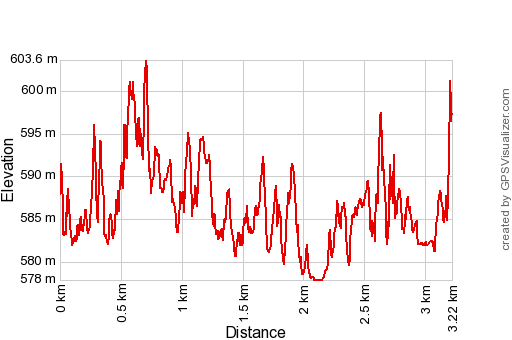
Basecamp (uncorrected track with elevation added by Gpsvisualizer.com): Distance: 3,2 km Max-height: 604m Min-height: 578m Elevation: +316m -307m Total elevation: 623m Start 12:49 Finish 14:14 Total time: 1:26 |
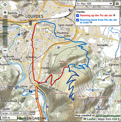 |
Between the previous trip and this one, I spent a day in Lourdes. Today, in the early morning, I ran from my hotel up to the summit of Pic du Jer, something I dreamt of doing for many years. Hence & forth: 13,5km in 2:12 with ± 550m up. |
 | An achievement, I am proud of. (click photo to enlarge) |
 | Then:
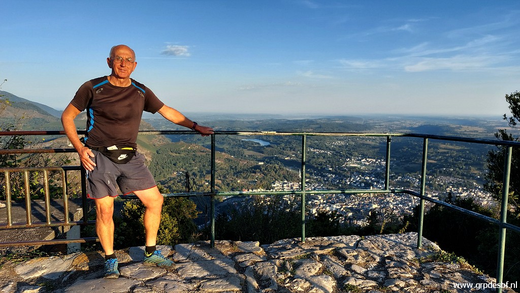
checking out of the hotel and driving to Fos. This picture: a nostalgic
visit to the old camping site, closed for some years. I
camped here many times. Some campers are parking now but the facilities
are closed. The old Gîte d'Étape in Fos has also been closed but there is apparently a new one, run by the Gentilhommerie-hotel. (click photo to enlarge) |
 | Then to Pont du Roi. (click photo to enlarge) |
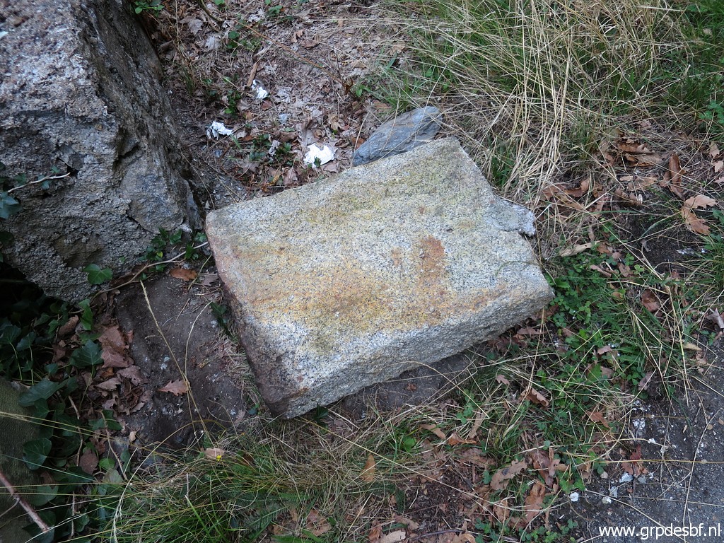
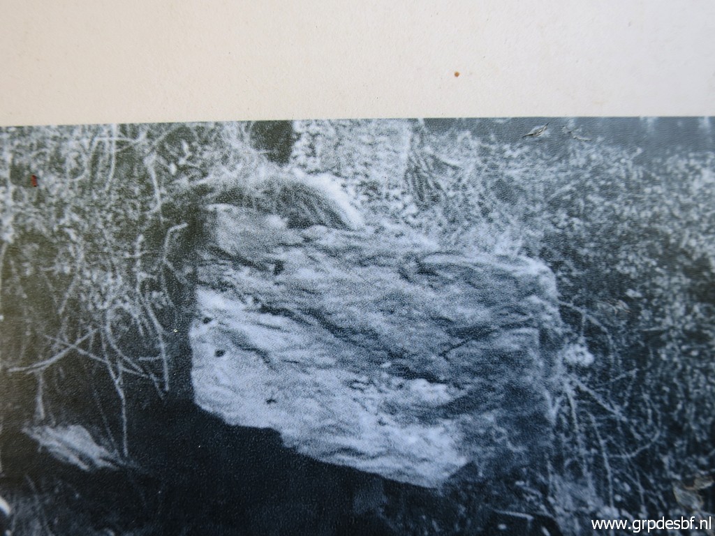
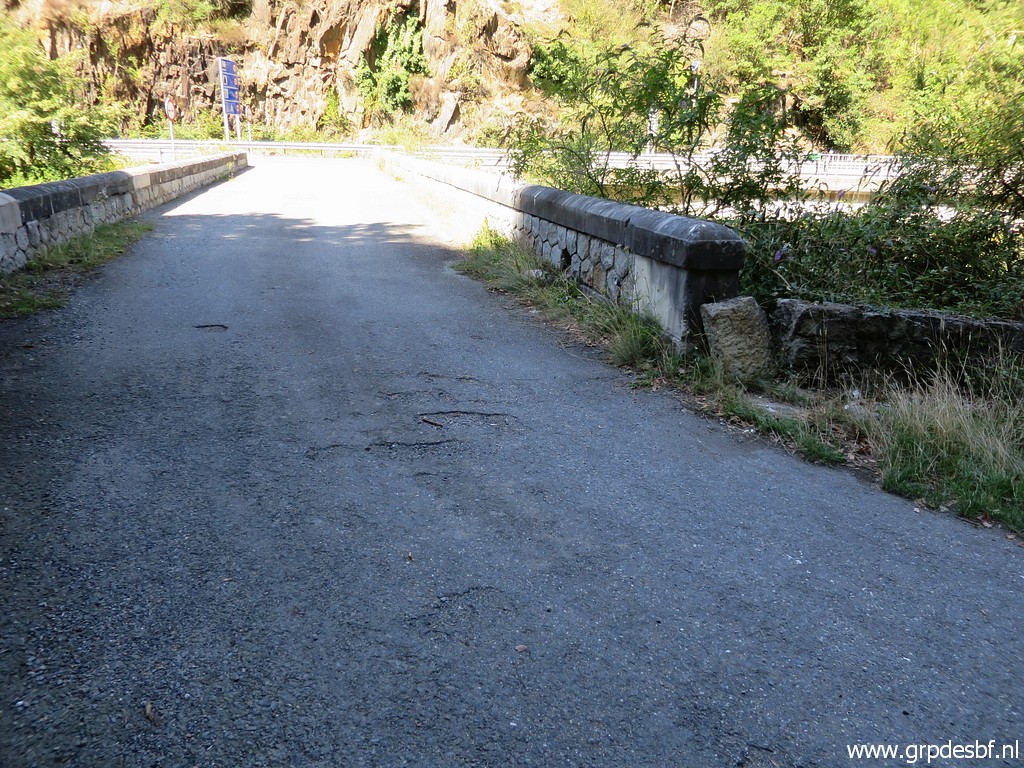 | My first goal is a peculiar stone which Corinne Gourgeonnet found against the old bridge. (click photo to enlarge) |
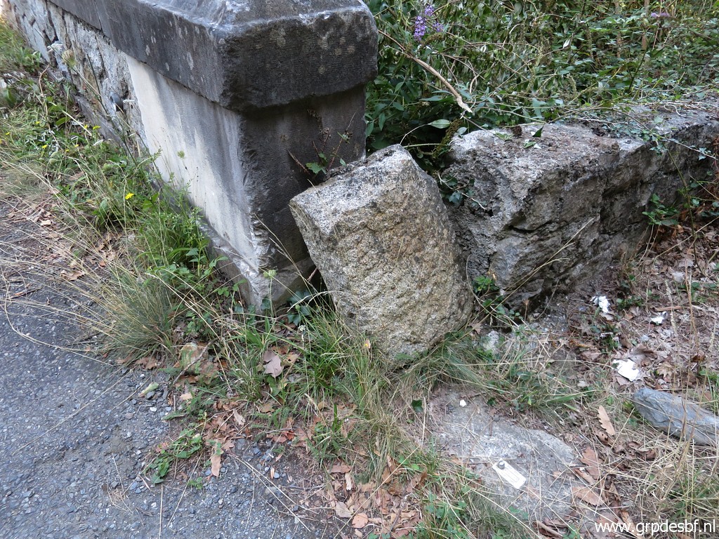 | She wondered if this is perhaps the original bm410. (click photo to enlarge) |
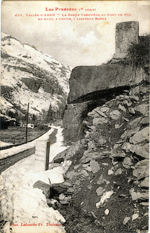 |
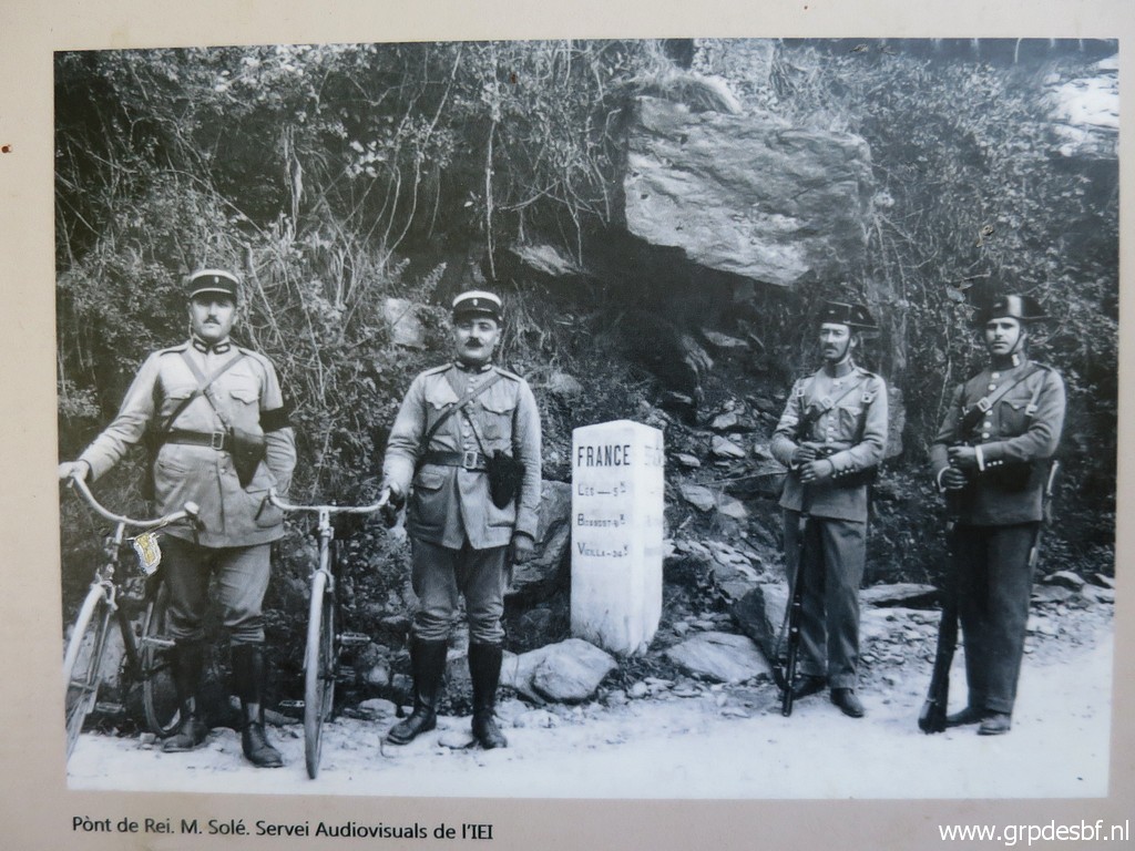
And I can imagine her question if we look at this old postcard. There is a resemblance between 'L'ancienne Borne' and the stone which Corinne found. |
 | With some effort I can check the other side of this stone but (click photo to enlarge) |
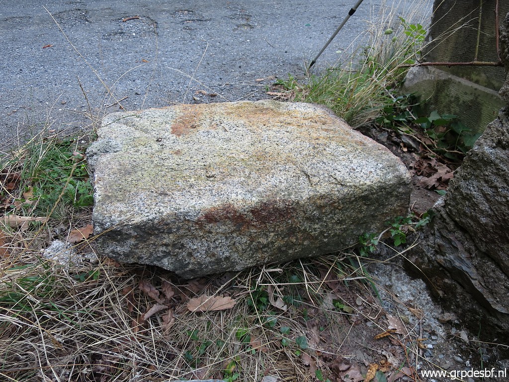 | I cannot find any engraving. (click photo to enlarge) |
 | This
is where the stream coming from bm411 arrives at Pont du Roi near bm410
and joins - via a culvert under the road - the Garonne. (click photo to enlarge) |
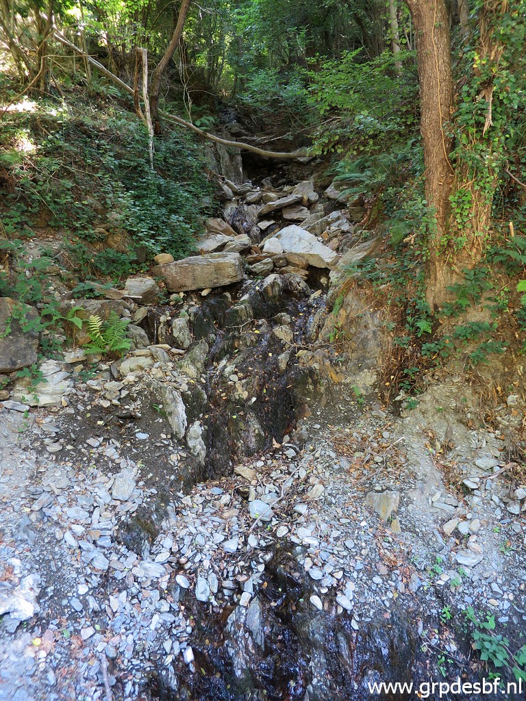 | Not much water at present. (click photo to enlarge) |
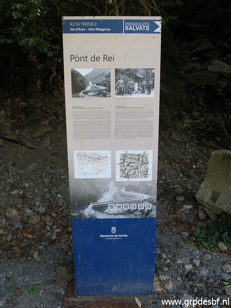 | An information panel tells about the history of Pont du Roi. (click photo to enlarge) |
 | Including this picture. We still see a part of the original bm410 above the white milestone. After the disappearance of bm410 (I guess because of an enlargement of the road), the white milestone was upgraded to become the new bm410. (click photo to enlarge) |
 | Close-up of the picture above with part of the bordermarker. (click photo to enlarge) |
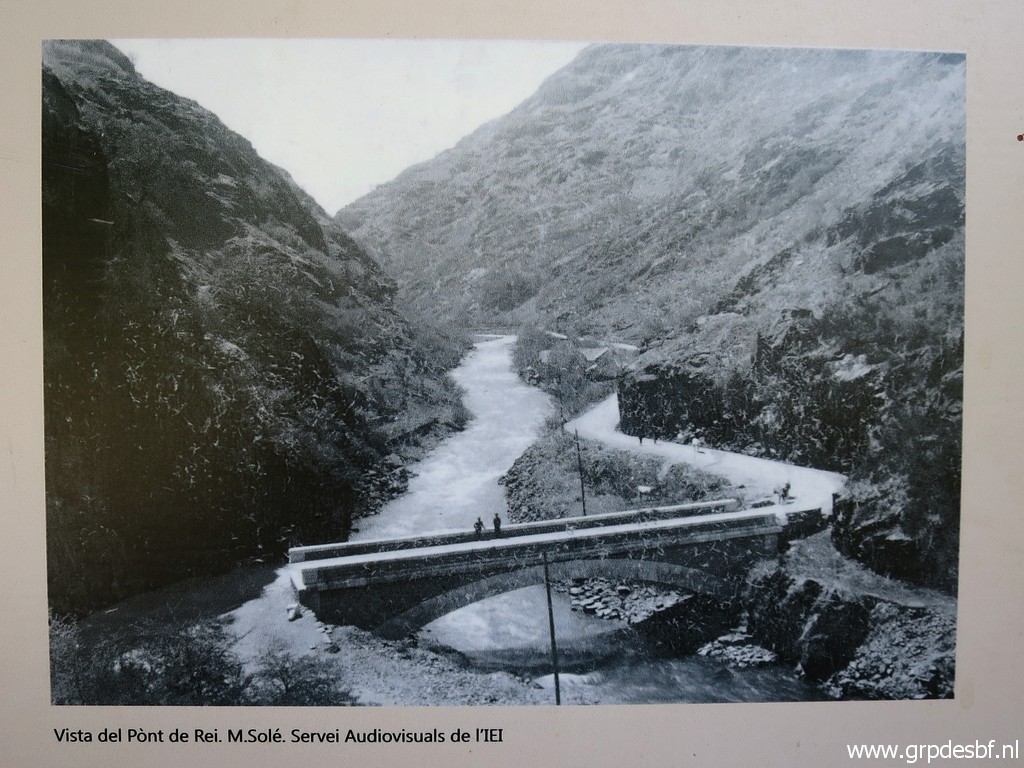 | And finally a view of the newly built Pont du Roi. (click photo to enlarge) |
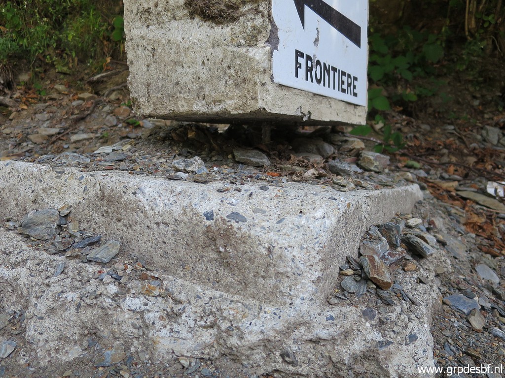
 | Then a look at bm409-7fr. It has been vandalised again (click photo to enlarge) |
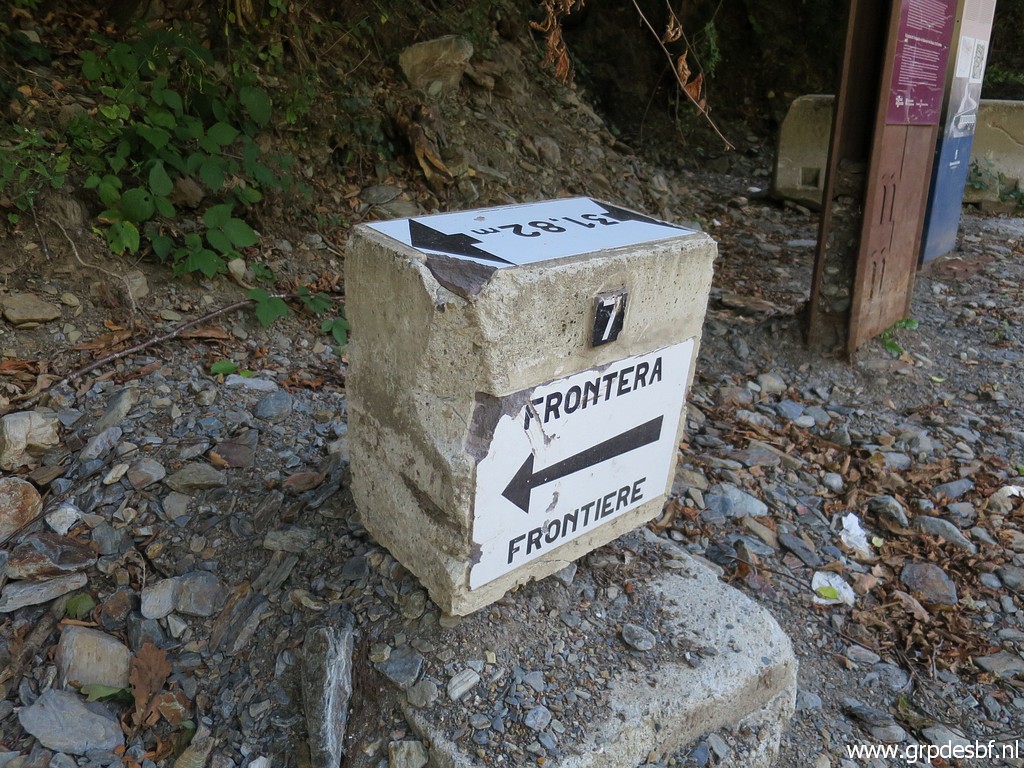 | after a renovation in 2016. (click photo to enlarge) |
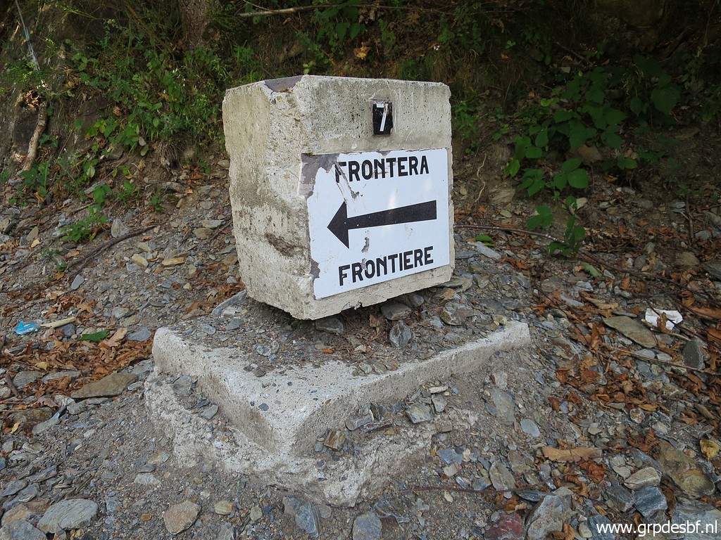
 | Bm409-7fr with bm410 (click photo to enlarge) |
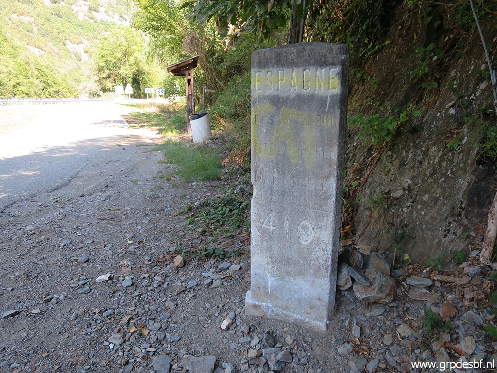 | Bm410 (click photo to enlarge) |
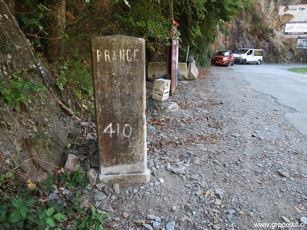 | Bm410 (click photo to enlarge) |
 | Bm409-7fr with in the distance - at the other side of the Garonne - (click photo to enlarge) |
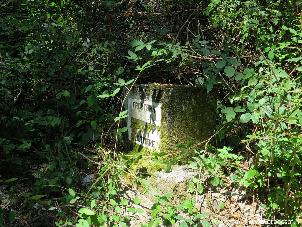
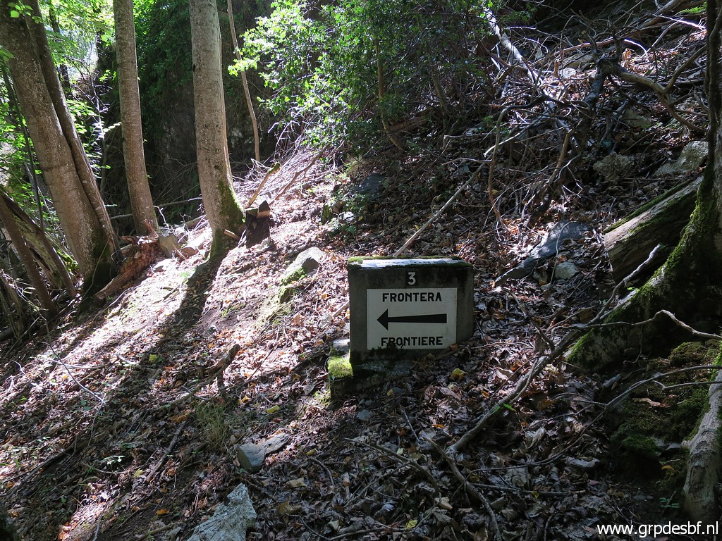
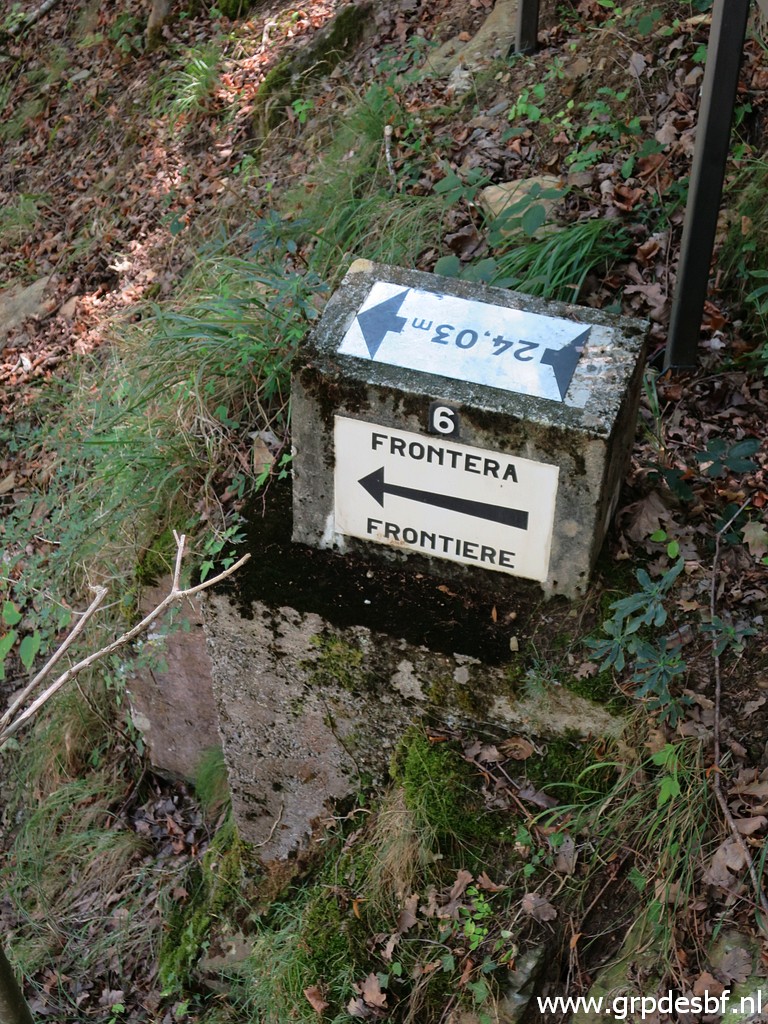
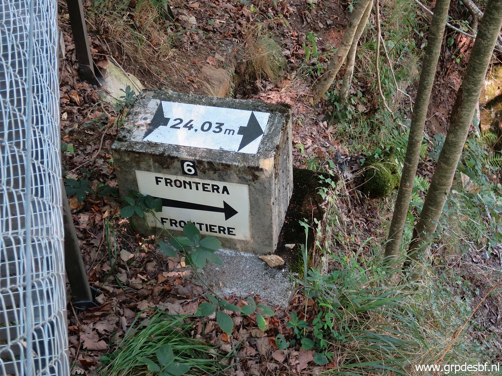
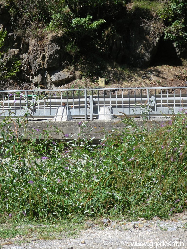 | Bm409-7es (click photo to enlarge) |
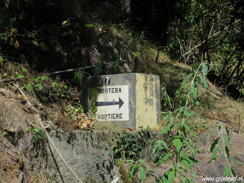
 | There is still the informatio panel about a hiking trail (click photo to enlarge) |
 | through the forest to the hamlet of Pontaut upstream. I tried that trail in the past but couldn't find a path nor waymarks. (click photo to enlarge) |
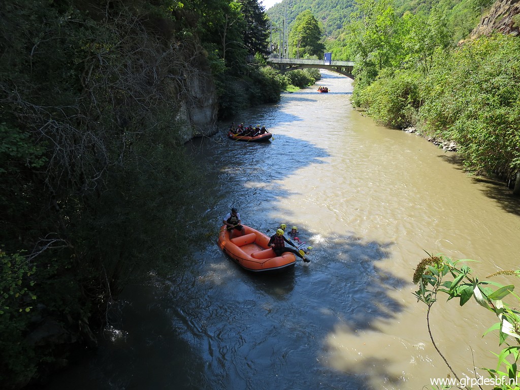 | A bunch of rubberboats are passing below. (click photo to enlarge) |
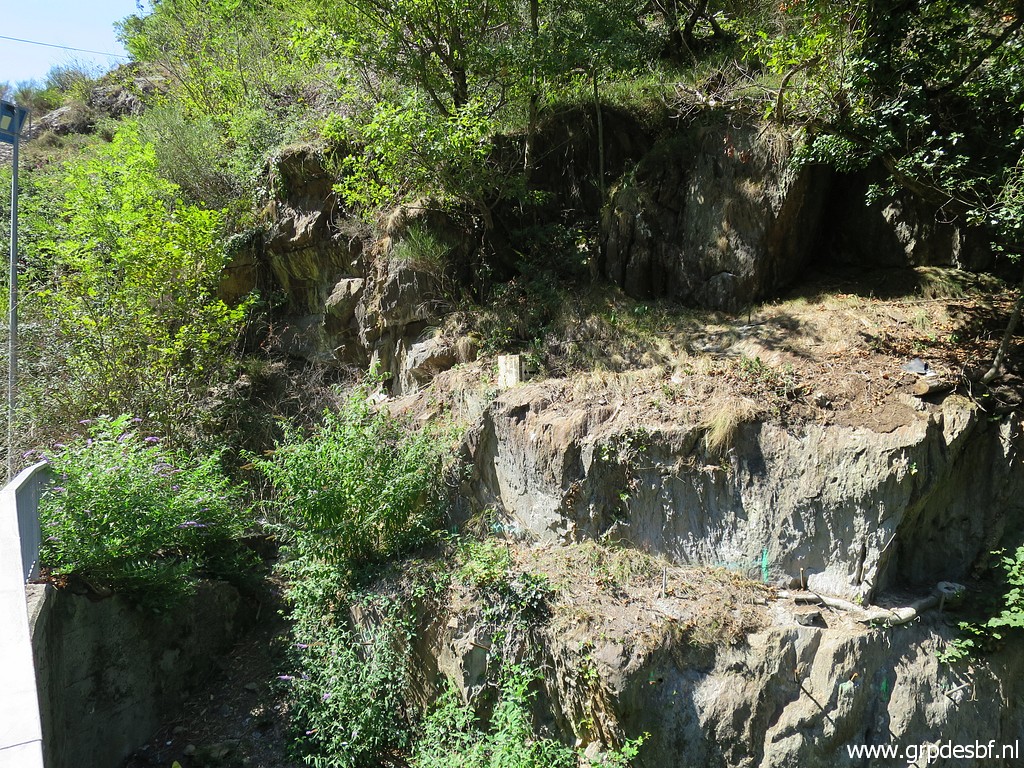
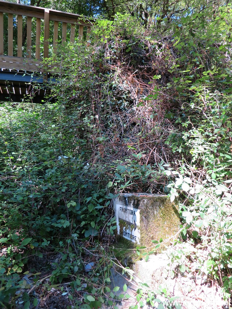
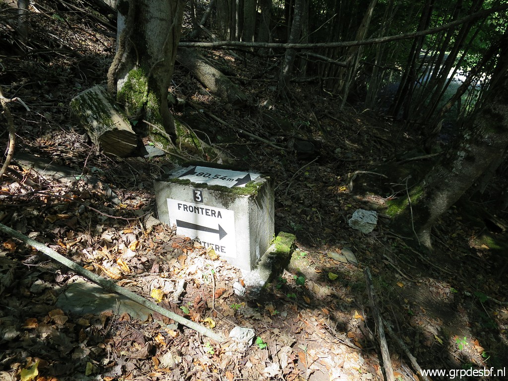
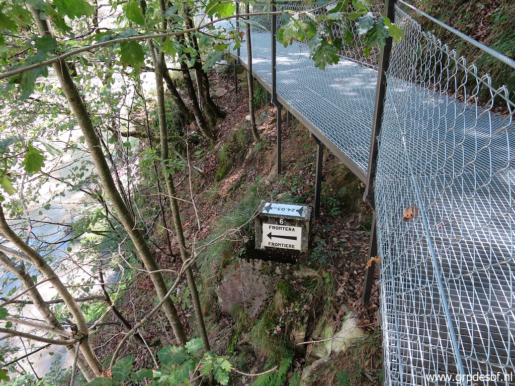
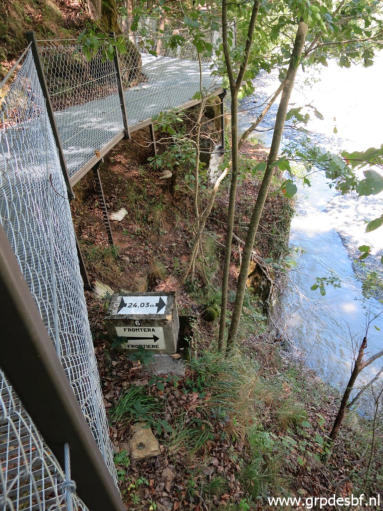
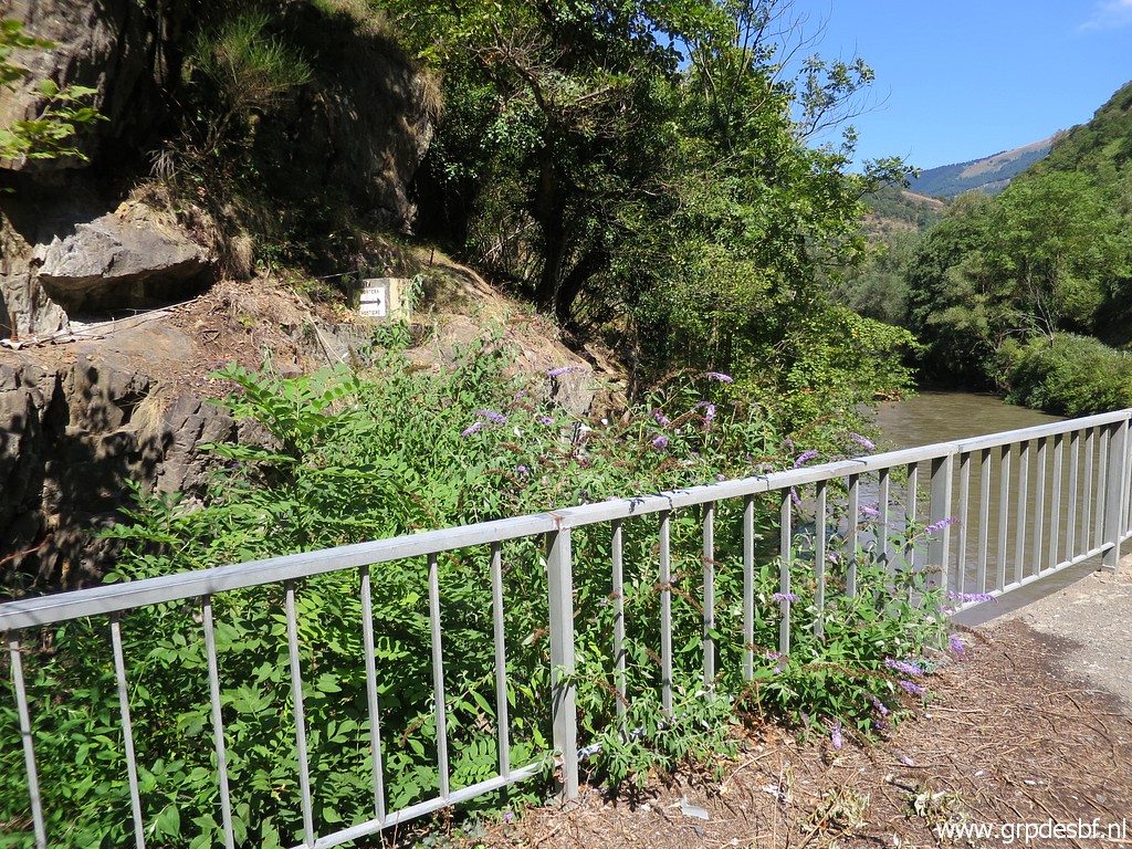 | Bm409-7es is now (click photo to enlarge) |
 | well visible from the bridge because of clearing the hillside from bushes. (click photo to enlarge) |
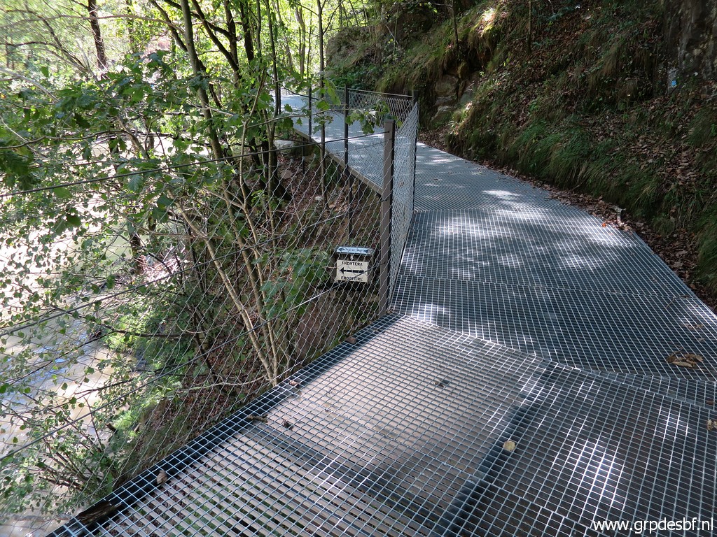
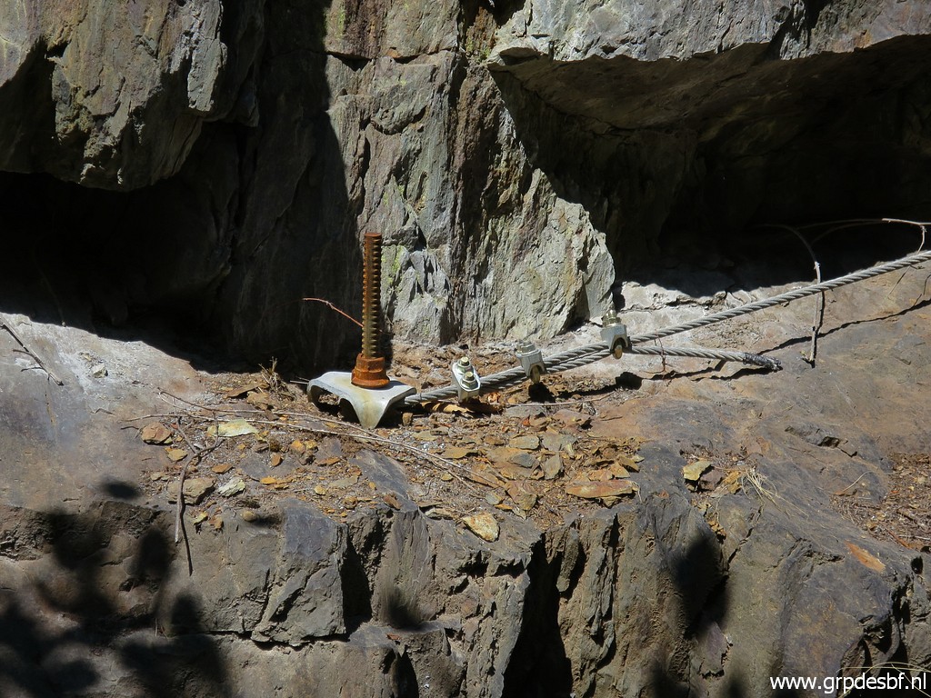 | They are constructing something (click photo to enlarge) |
 | and I am prettty sure that it is a direct connection between the new bicycle-trial and the Pont du Roi. (click photo to enlarge) |
 | One can descend easily (click photo to enlarge) |
 | to the riverside and (click photo to enlarge) |
 | from there a short trail climbs uphill. Also here: signs of some construction to be built. (click photo to enlarge) |
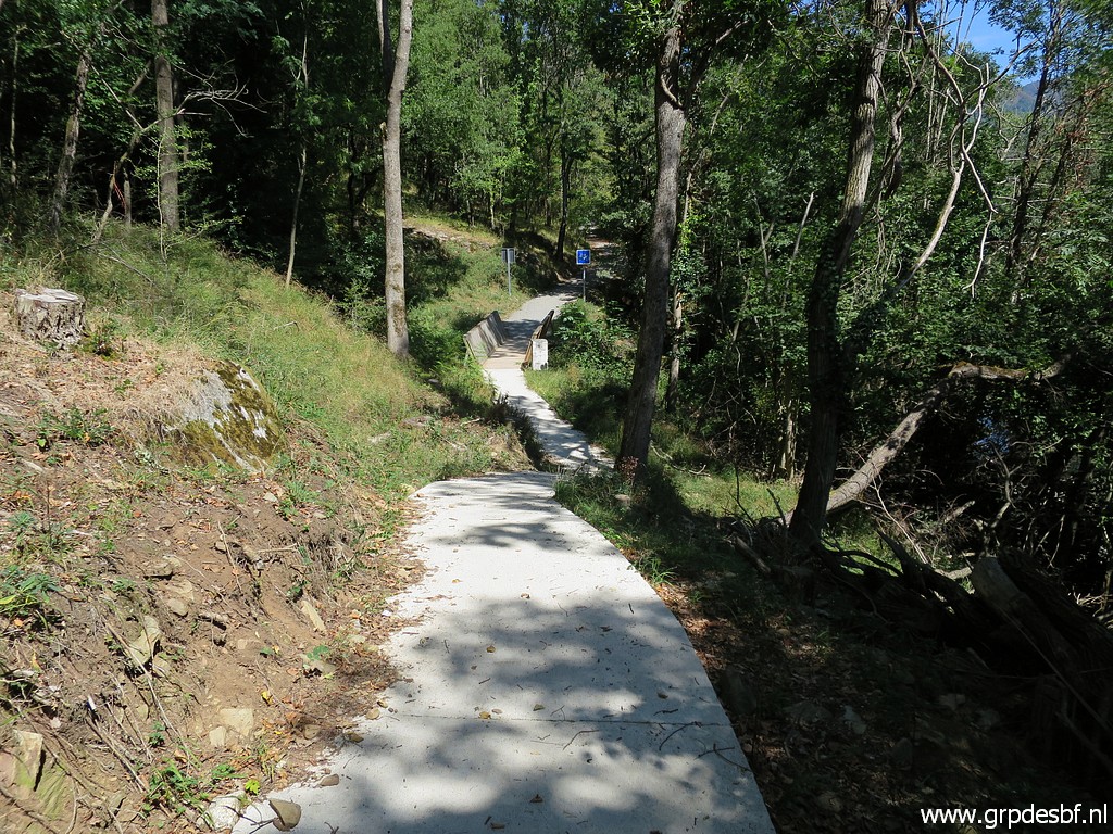
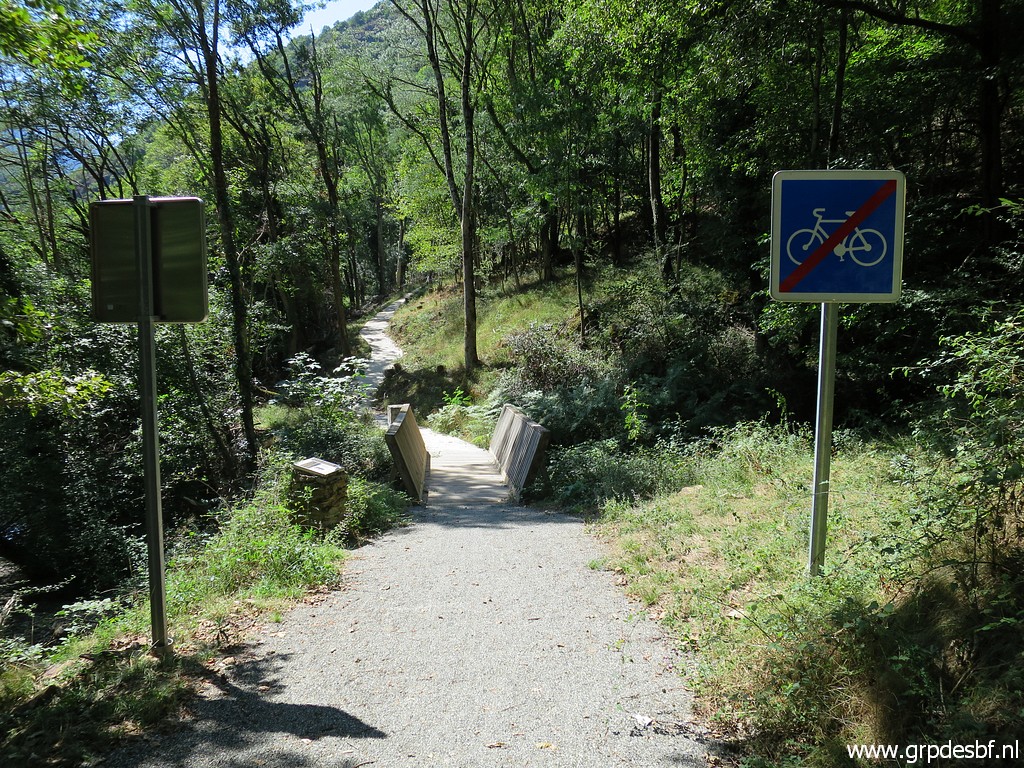
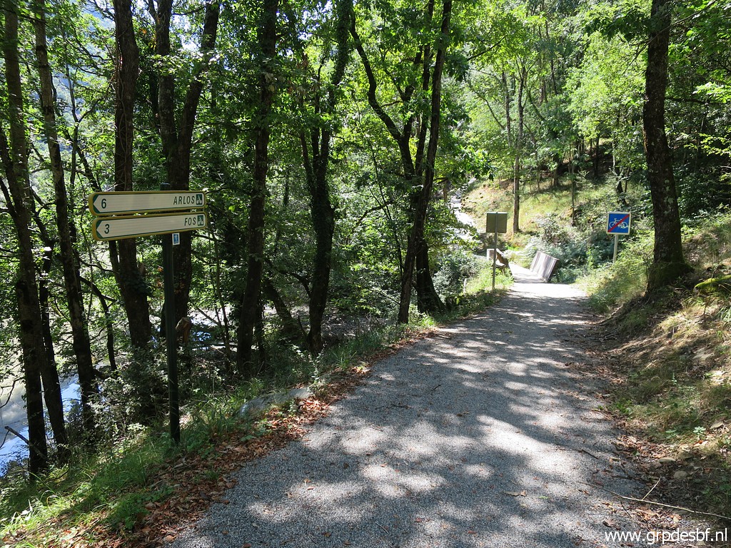
 | Arriving at the trail along the Garonne. A bit to the N, the concrete (click photo to enlarge) |
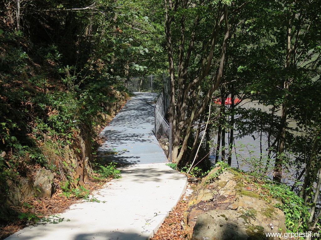 | bicycle trail coming from the north comes to an end, waiting for the connection to the Pont du Roi to be built. (click photo to enlarge) |
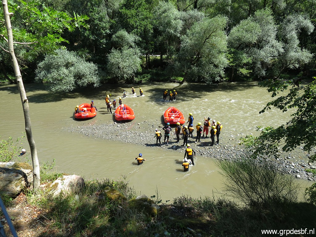 | Again the dinghies, having arrived at their destination. (click photo to enlarge) |
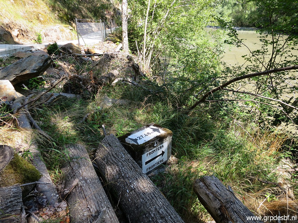 | Passing bm409-4es (click photo to enlarge) |
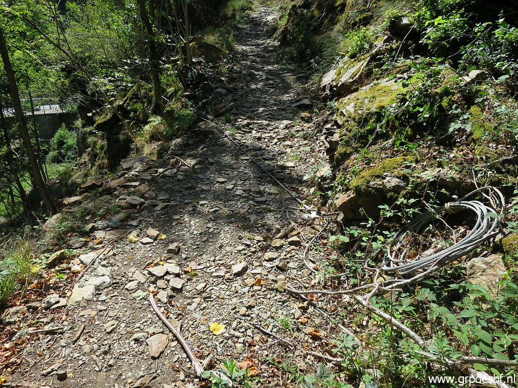
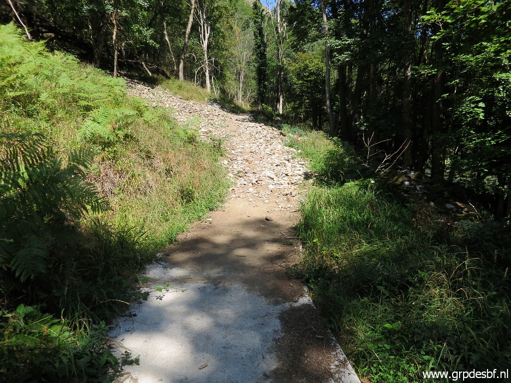 | A small landslide has covered part of the concrete trail. (click photo to enlarge) |
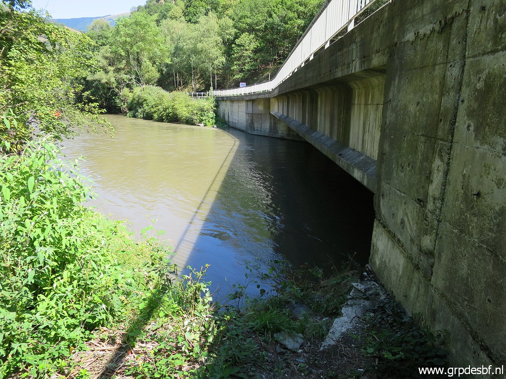
 | Approaching bm409 (click photo to enlarge) |
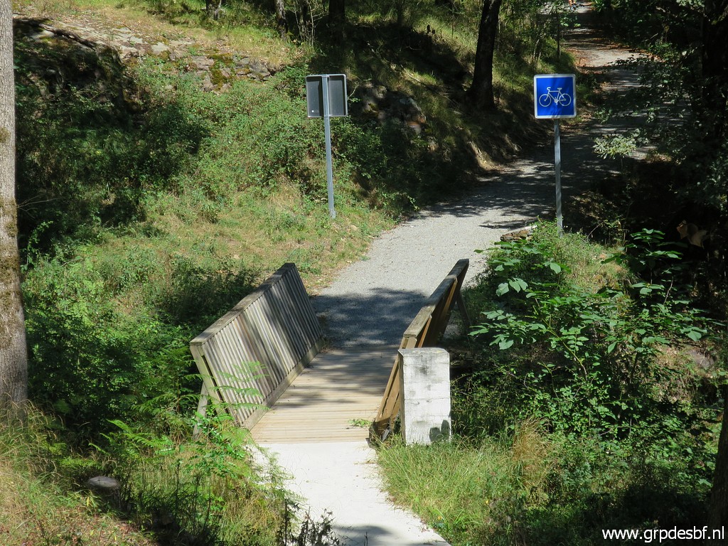 | Bm409 (click photo to enlarge) |
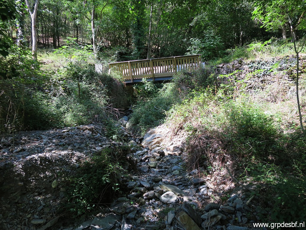
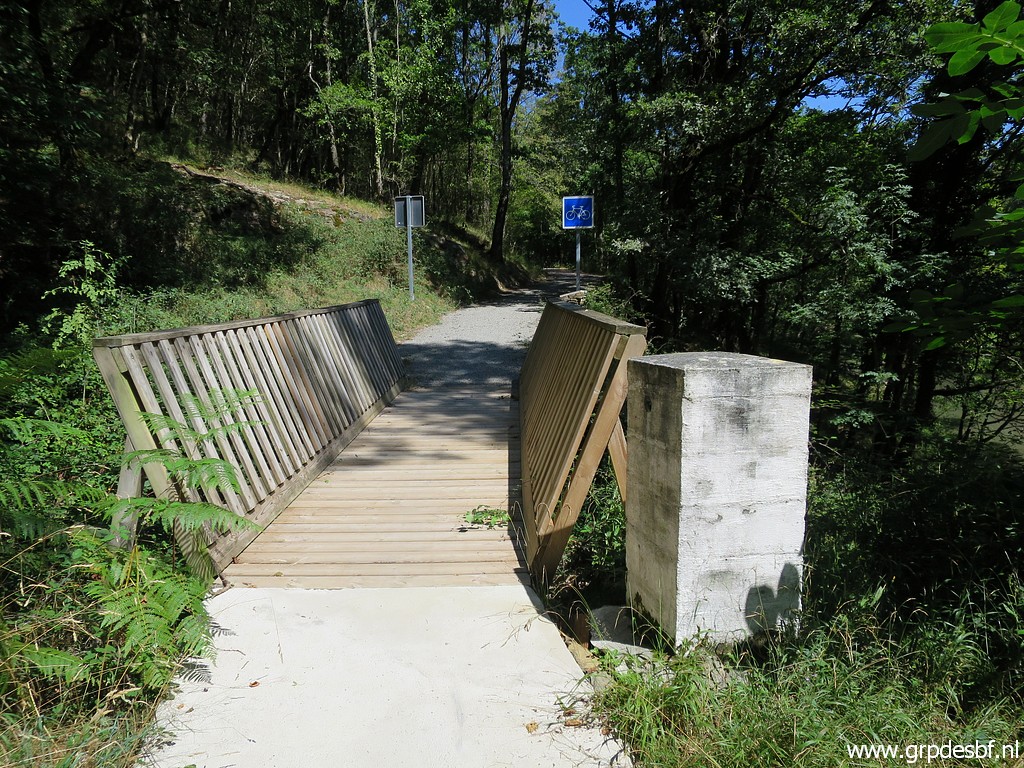 | Bm409 with the new bridge over the Ruisseau du Terme. (click photo to enlarge) |
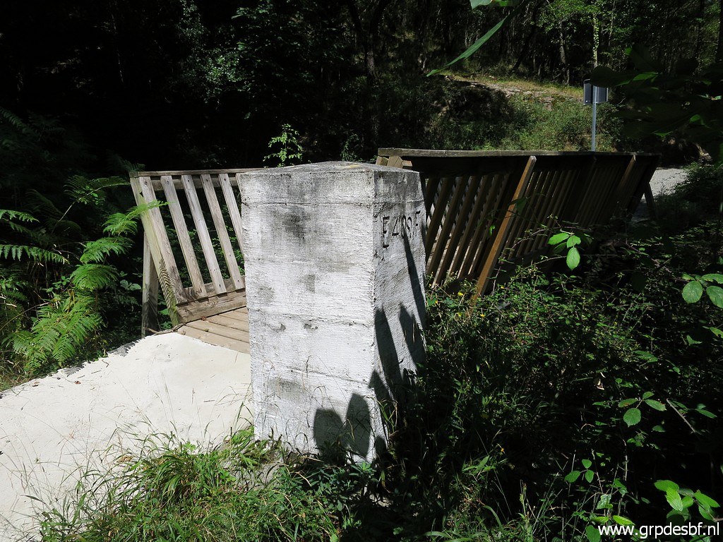 | Bm409 (click photo to enlarge) |
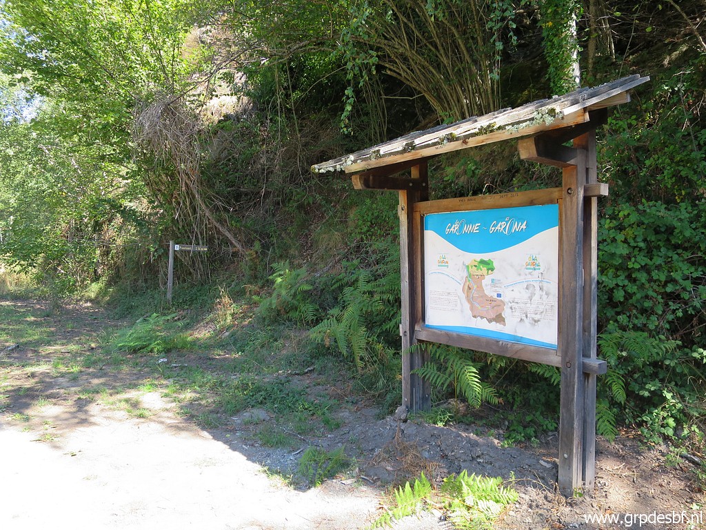
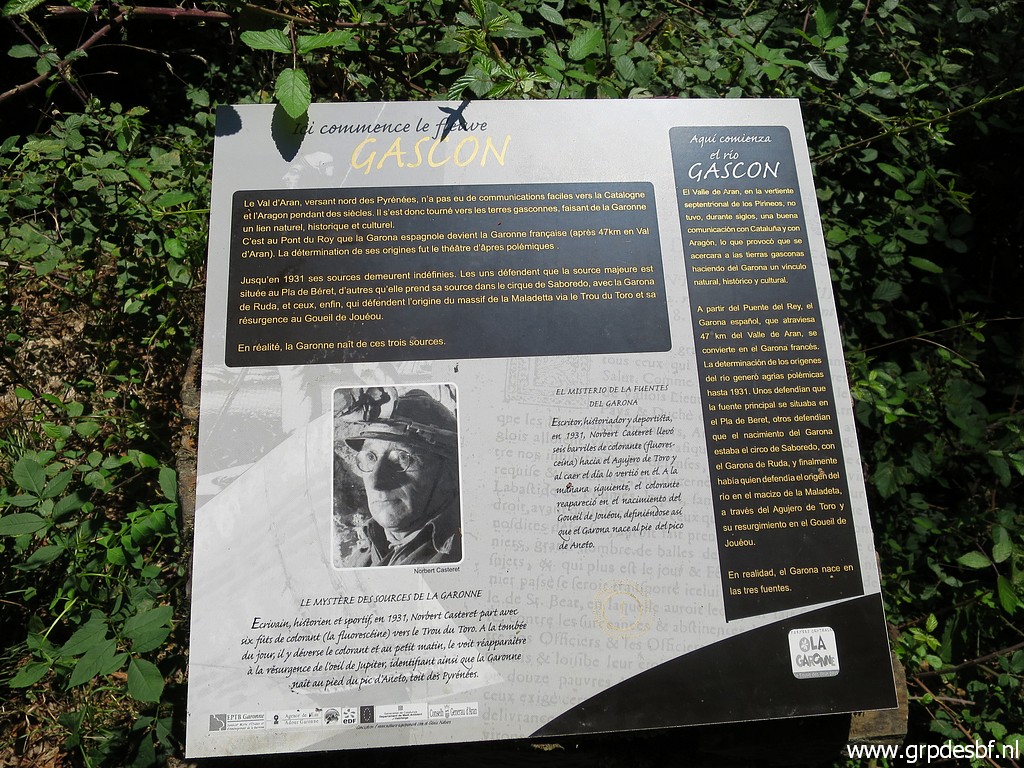 | Information panel about the sources of the Garonne (click photo to enlarge) |
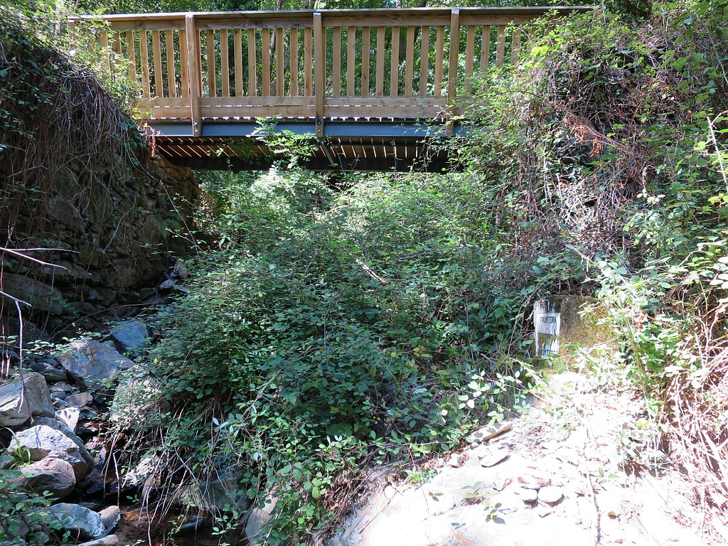
 | From the french side, looking to the bridge. What strikes is that the french part of the bicycle-trail is a lot wider. (click photo to enlarge) |
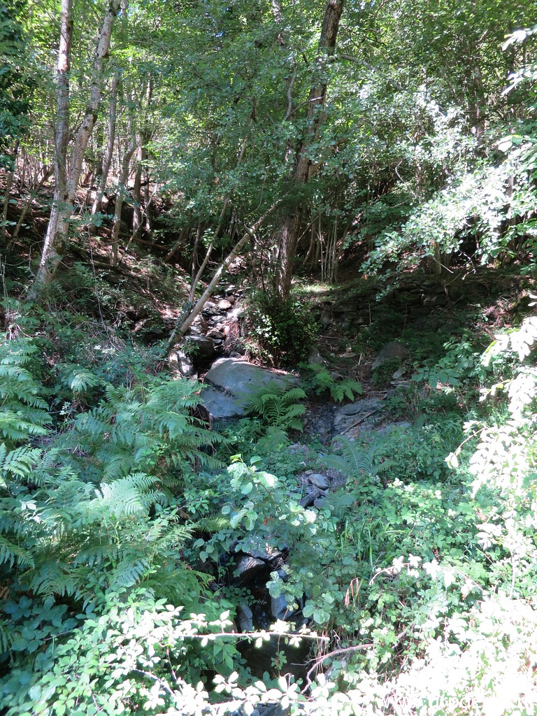 | Looking up the Ruisseau du Terme. (click photo to enlarge) |
 | Having descended to the riverside, I look for (click photo to enlarge) |
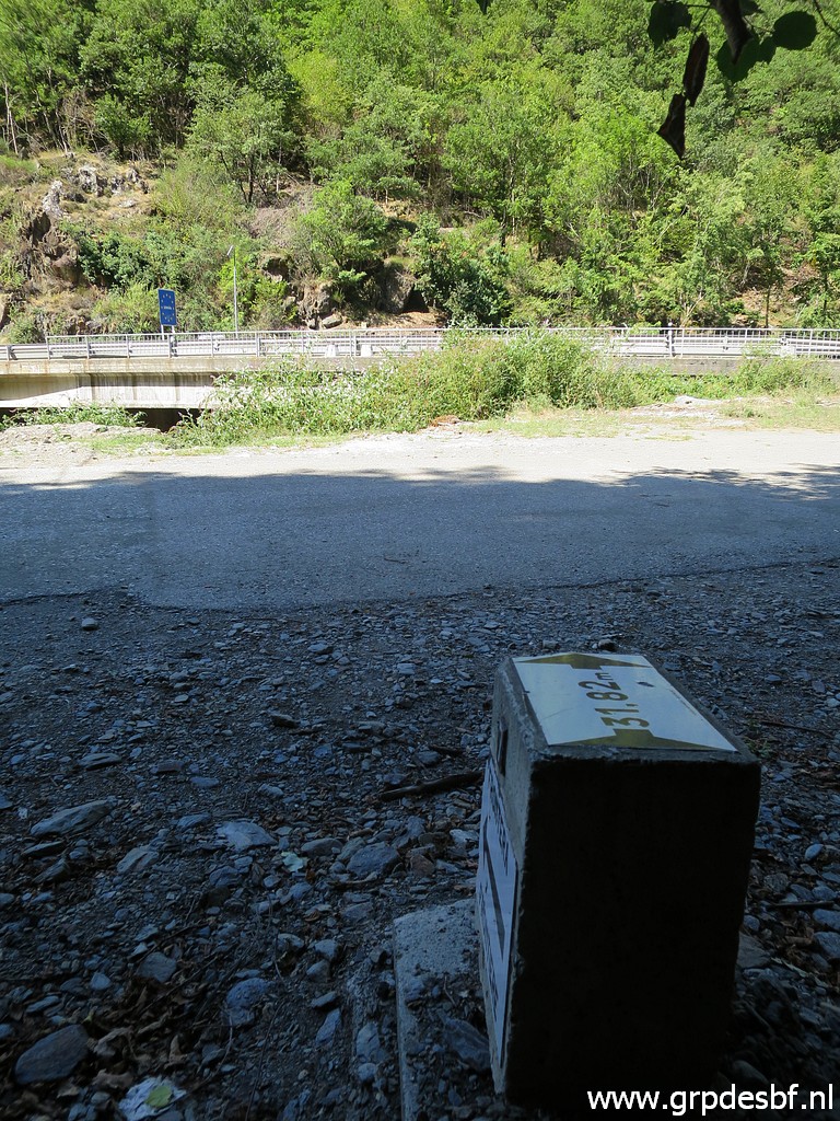
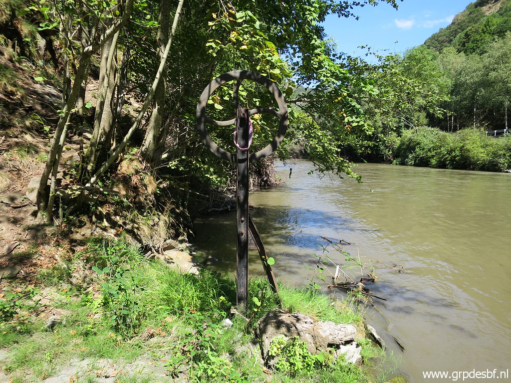
 | Bm409-4es, usually overgrown and difficult to spot. (click photo to enlarge) |
 | Bm409-4es (click photo to enlarge) |
 | Bm409-4es (click photo to enlarge) |
 | Next time, I will bring my bicycle. (click photo to enlarge) |
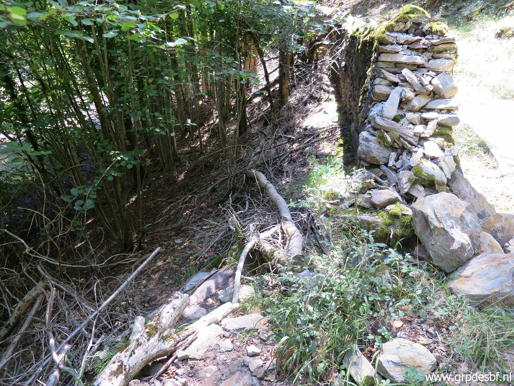 | Back into Spain and through this breach in a wall descending (click photo to enlarge) |
 | to bm409-3es (click photo to enlarge) |
 | Bm409-3es (click photo to enlarge) |
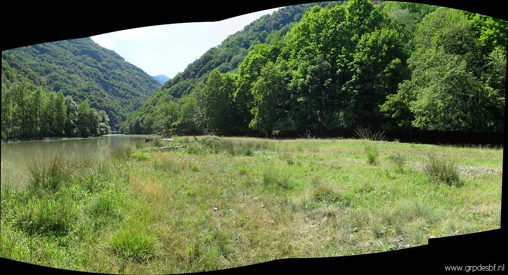 | And that's where I explore a piece of 'new land' along the barrage-lake. This is about where the old casino stood a long time ago but probably at a lower level: before the barrage increased the water level here. (click photo to enlarge) |
 | Back along bm409-6es (click photo to enlarge) |
 | Bm409-6es (click photo to enlarge) |
 | Bm409-6es (click photo to enlarge) |
 | Bm409-6es It's no longer possible to get close to this marker. Some bordermarker-devotees want to touch every bm they find. That is a challenge in this case. (click photo to enlarge) |
 | Bm409-6es (click photo to enlarge) |
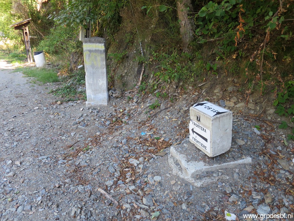
 | Now I am back at Pont du Roi for a last look at bm409-7fr (click photo to enlarge) |
 | and its miserable situation. Done enough, I drive to (click photo to enlarge) |
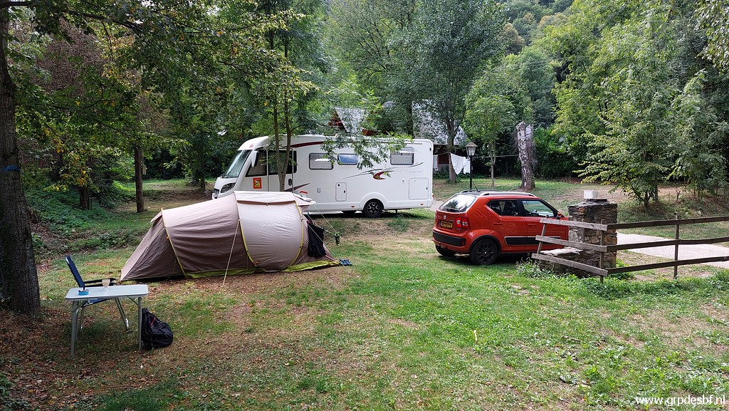 | Camping Espalias in Bossóst, one of my favourite campings. (click photo to enlarge) |