|
The
bordermarkers of the Pyrenees : all my trips
 |
|
| -
tuesday 30 august
2022 - Redoing adfr-bm's, 478f, 479fr, 480-482, LL16, LL20, LL21, LL32-34 |
 |
 |
Summary:
part of a series of 9 daytrips in august & september 2022 across
the Pyrenees. The main goal was to finish my plan to have visited all
bordermarkers at least twice. It was also a kind of sentimental farewell journey, visiting old friends and cherished places. This is daytrip 5. Today: after redoing the Adfr-bm's, a few trips near Puigcerda Weather: sunny, warm |
 Gps-waypoints of all bordermarkers (most recent version): kml: esfr-bordermarkers-all-waypoints.kml gpx: esfr-bordermarkers-all-waypoints.gpx (with elevation added by gpsvisualizer.com) For cartographic backgrounds: see the cartography-page |
|
 |
The day before I visited my friend Charles Darrieu in Saint Girons and
slept one night at the camping in L'Hospitalet- près-de-l'Andorre. |
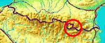
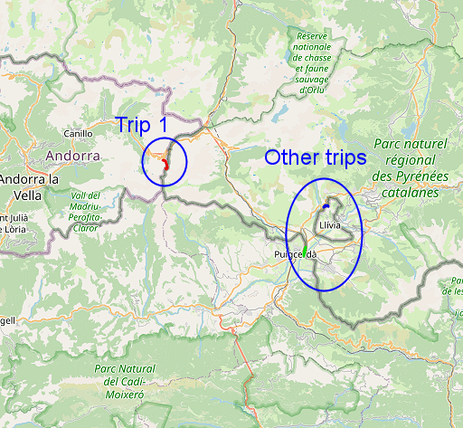
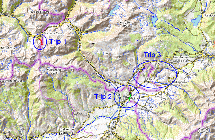
| Trip 1: the Adfr-bordermarkers |
|
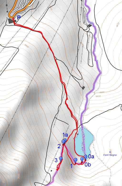 |
A short trip to do the Adfr-bordermarkers for the second time. They were installed in 2019 (more information on this page) Gps-track track-20220830-trip1.kml (click to open this trip in Google Earth or copy link to Google Maps; click right on this link to download gpx-version). The gps-track has not been manually corrected which explains the inaccuracy and misalignment at some points. |
 |
According to Garmin
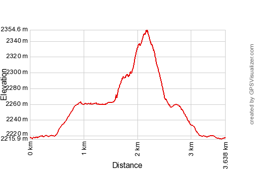
Basecamp (uncorrected track with elevation added by Gpsvisualizer.com): Distance: 3,6 km Max-height: 2355m Min-height: 2216m Elevation: +188m -188m Total elevation: 376m Start 9:16 Finish 11:07 Total time: 1:51 |
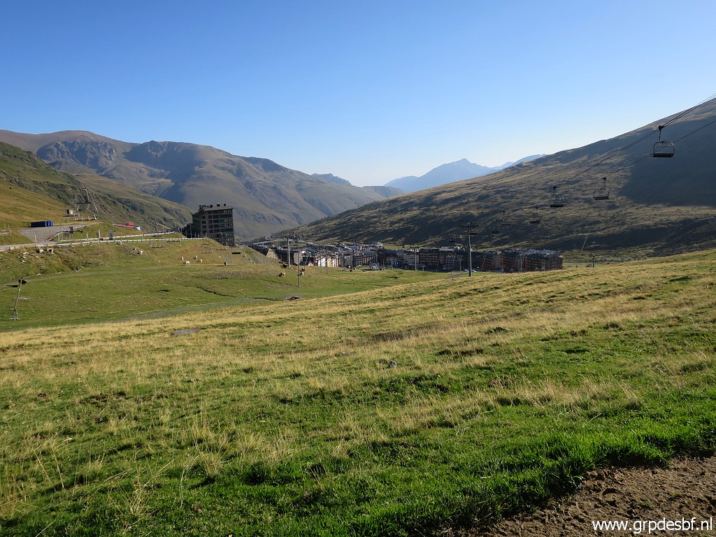 | Pas de la Casa in the background. (click photo to enlarge) |
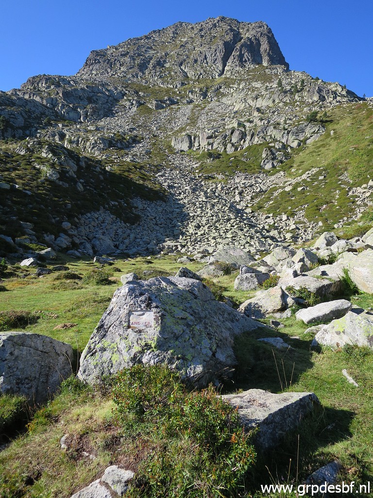
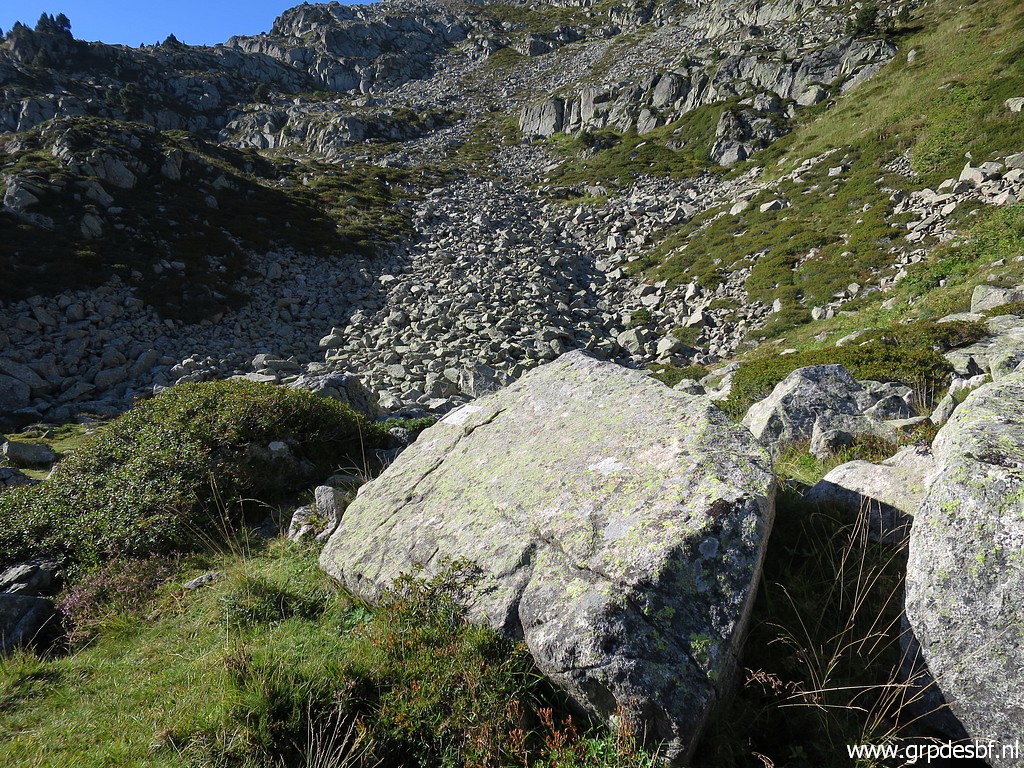
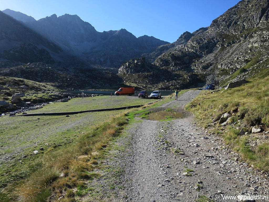 | The approach to the Adfr-bordermarkers is relaxed on easy mountain roads (click photo to enlarge) |
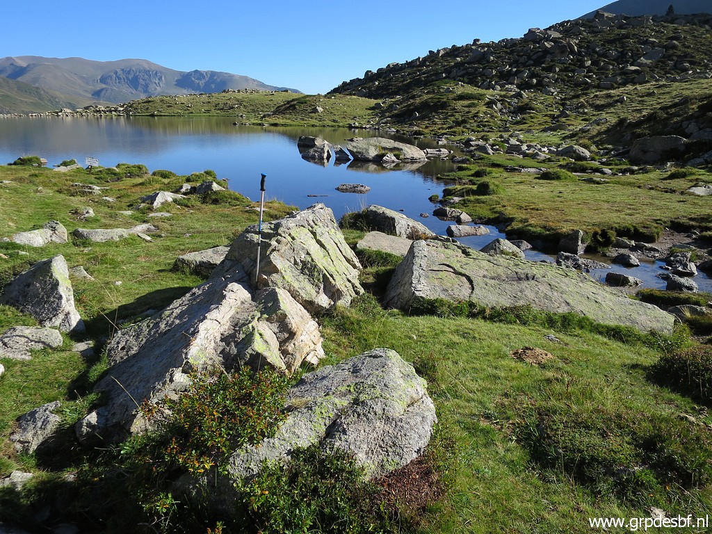
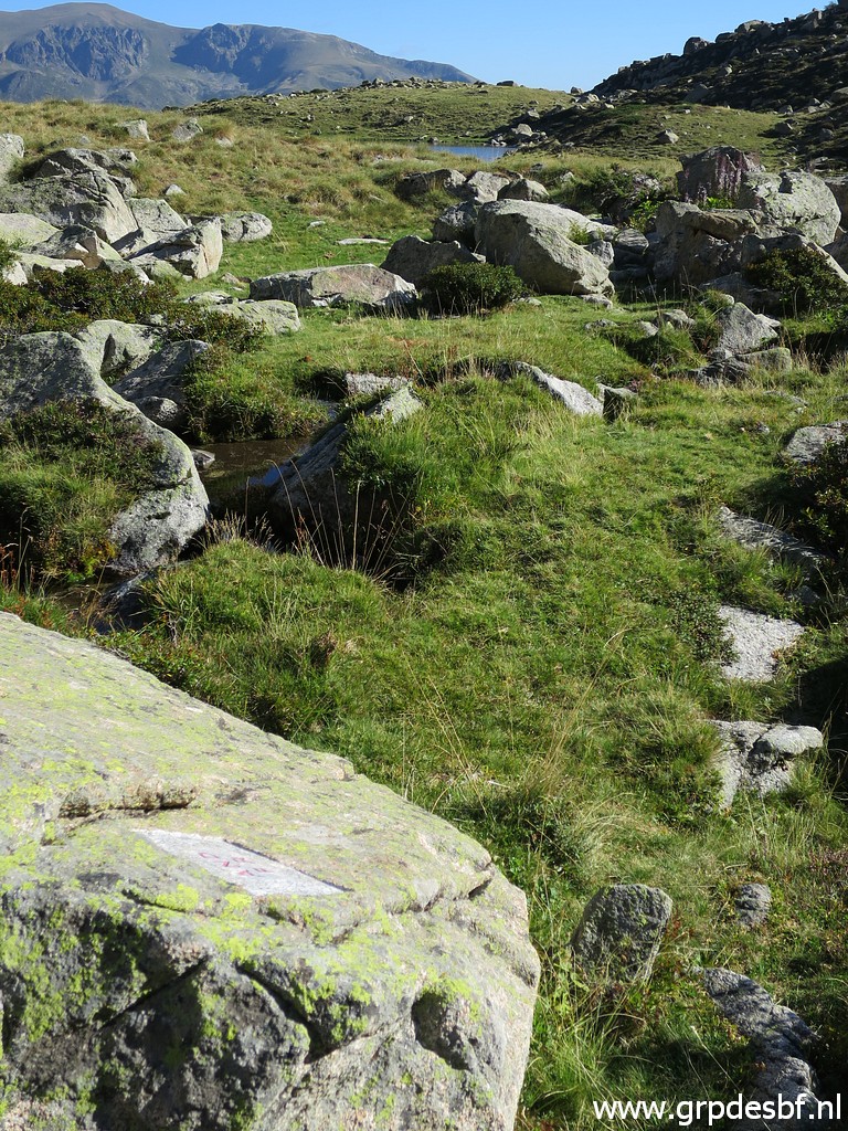
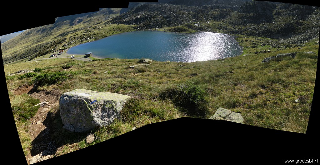
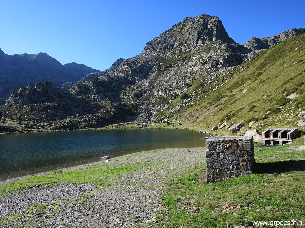 | to Estany de les Abelles. (click photo to enlarge) |
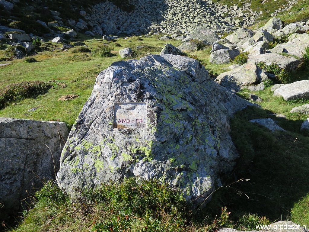
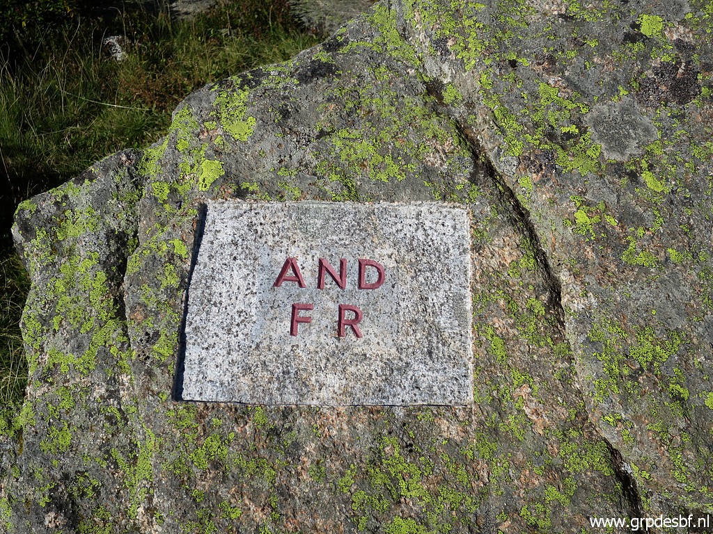
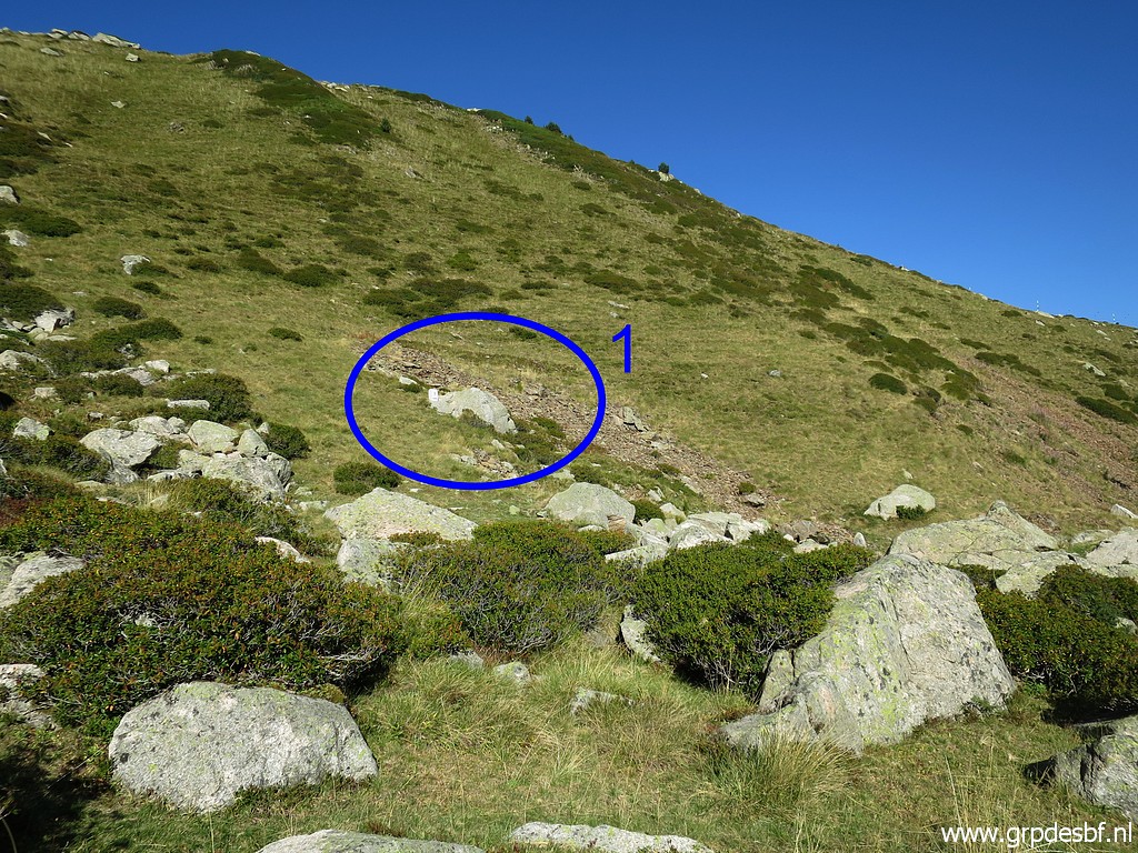
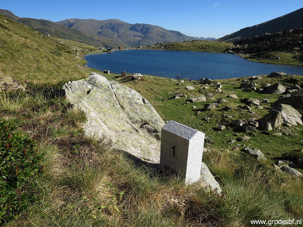
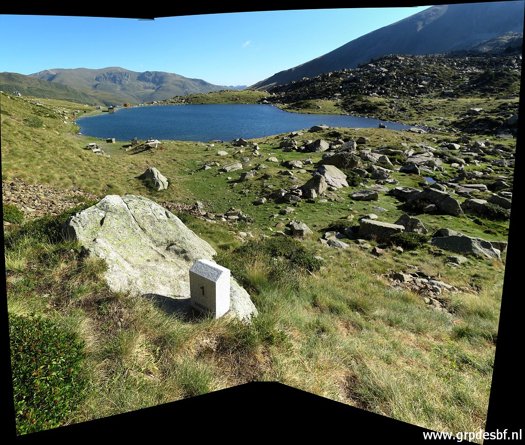
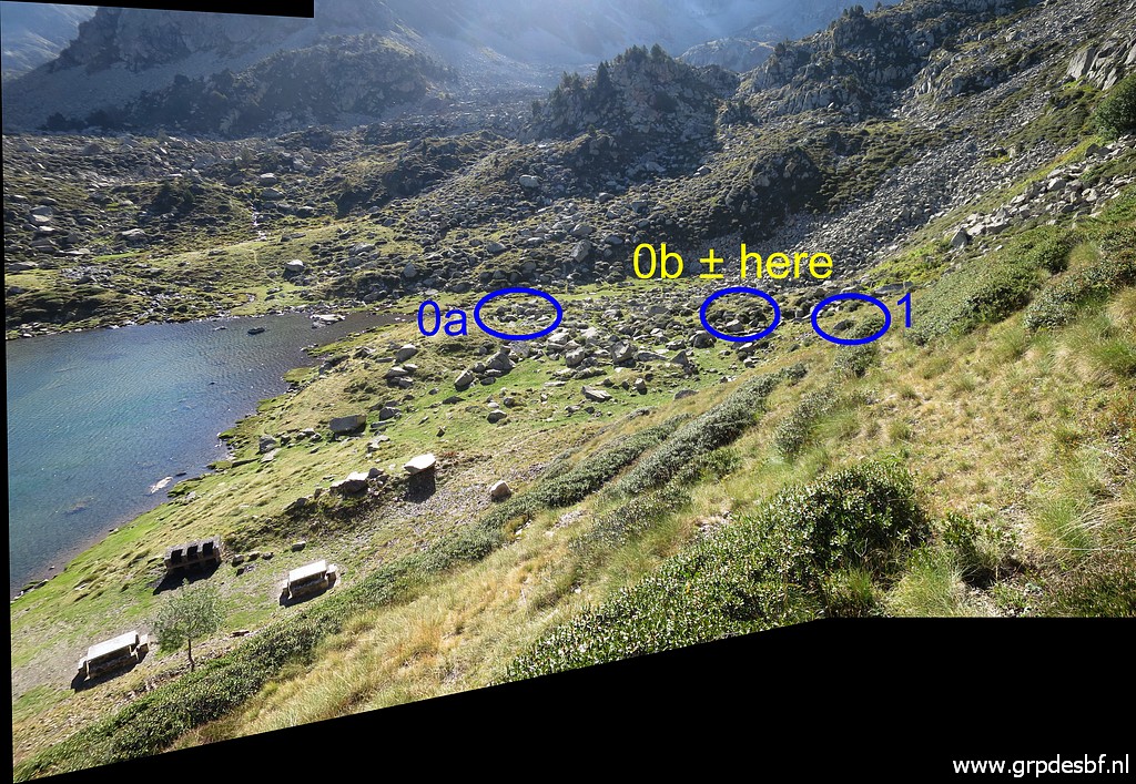
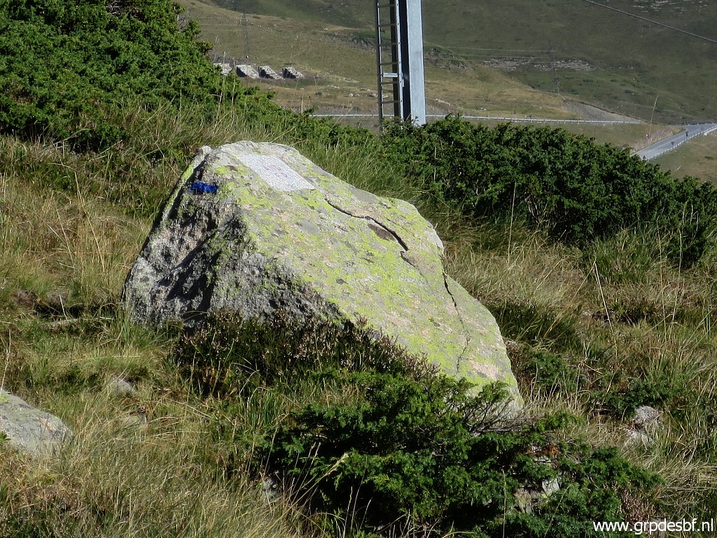
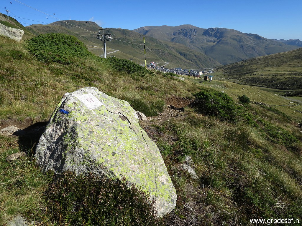
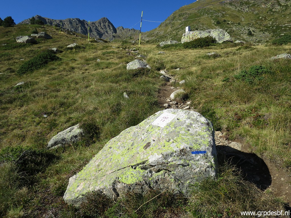
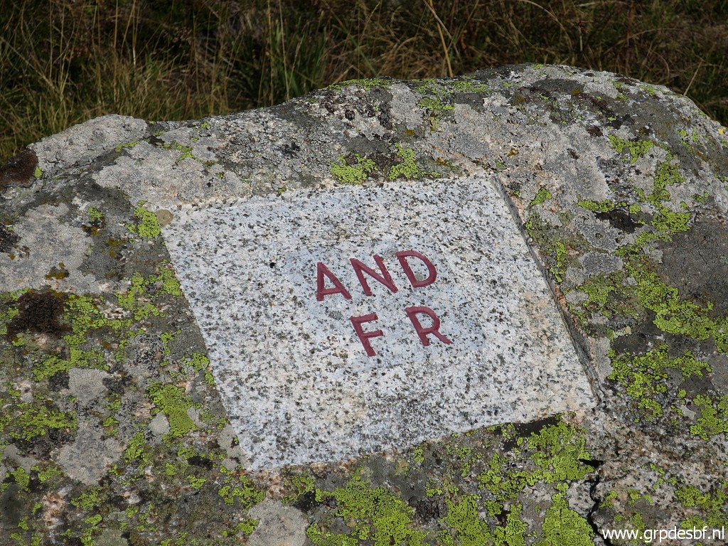
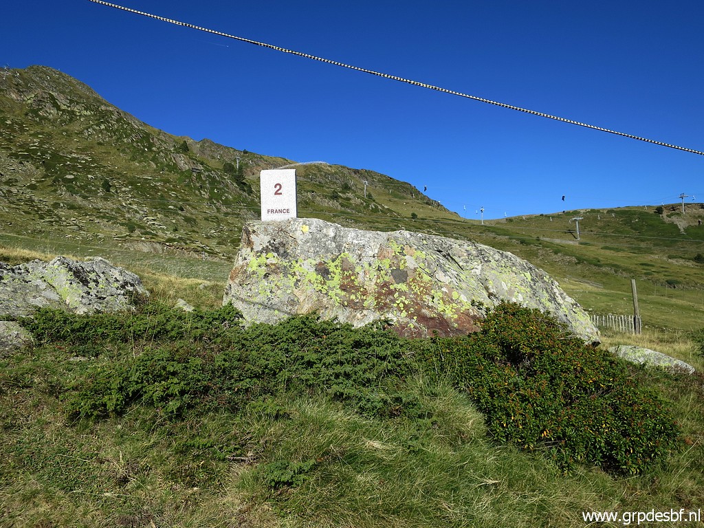
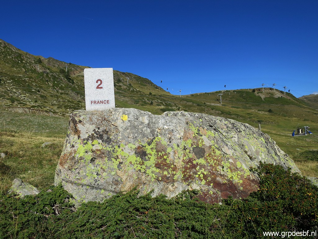
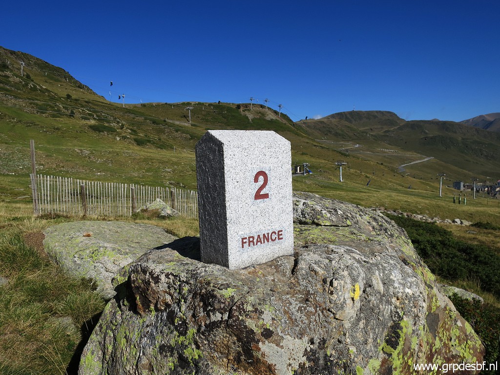
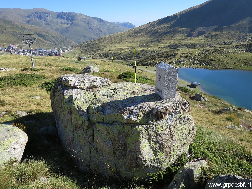
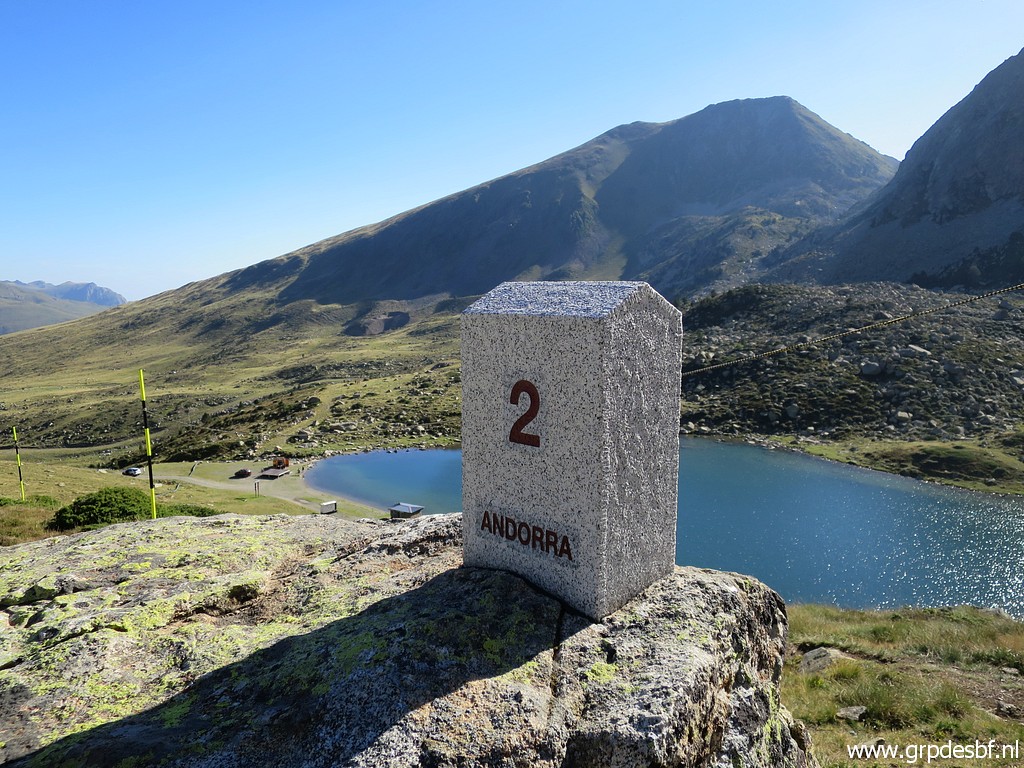
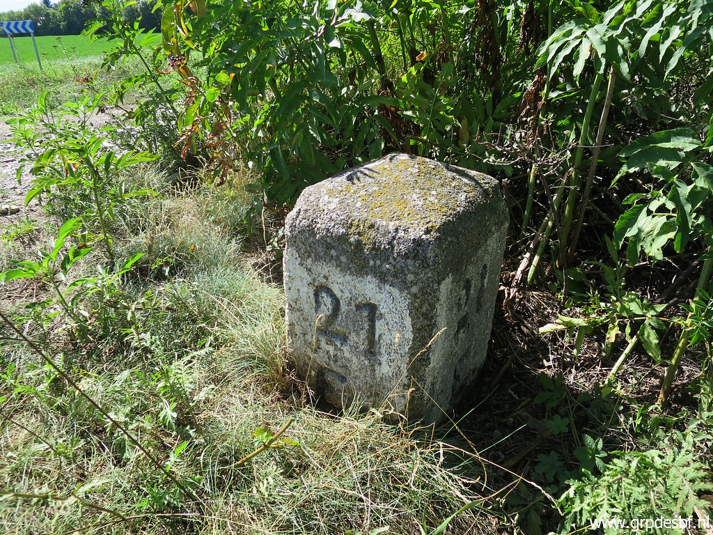
 | This is Adfr0a, The first in the row of 6 bordermarkers. The third one is numbered "1" but this one and the second (and fourth) have only 'AND-FR' engraved. To be able to sort all bm's in the right order, I numbered them as 0a en 0b. NB: these bordermarkers, including adfr1a (with only AND & FR on them, no number) don't qualify for my counting of how many bordermarkers there are. Why? Because they lack an alpha-numerical indication, fitting in the 1-602 number- sequence. See this page for my definition. BUT: you shouldn't skip them if you want to do them all! (click photo to enlarge) |
 | Adfr0a (click photo to enlarge) |
 | Adfr0a (click photo to enlarge) |
 | Adfr0a (click photo to enlarge) |
 | Adfr0a in the front, adfr0b in the background. (click photo to enlarge) |
 | Adfr0a, view from its backside (click photo to enlarge) |
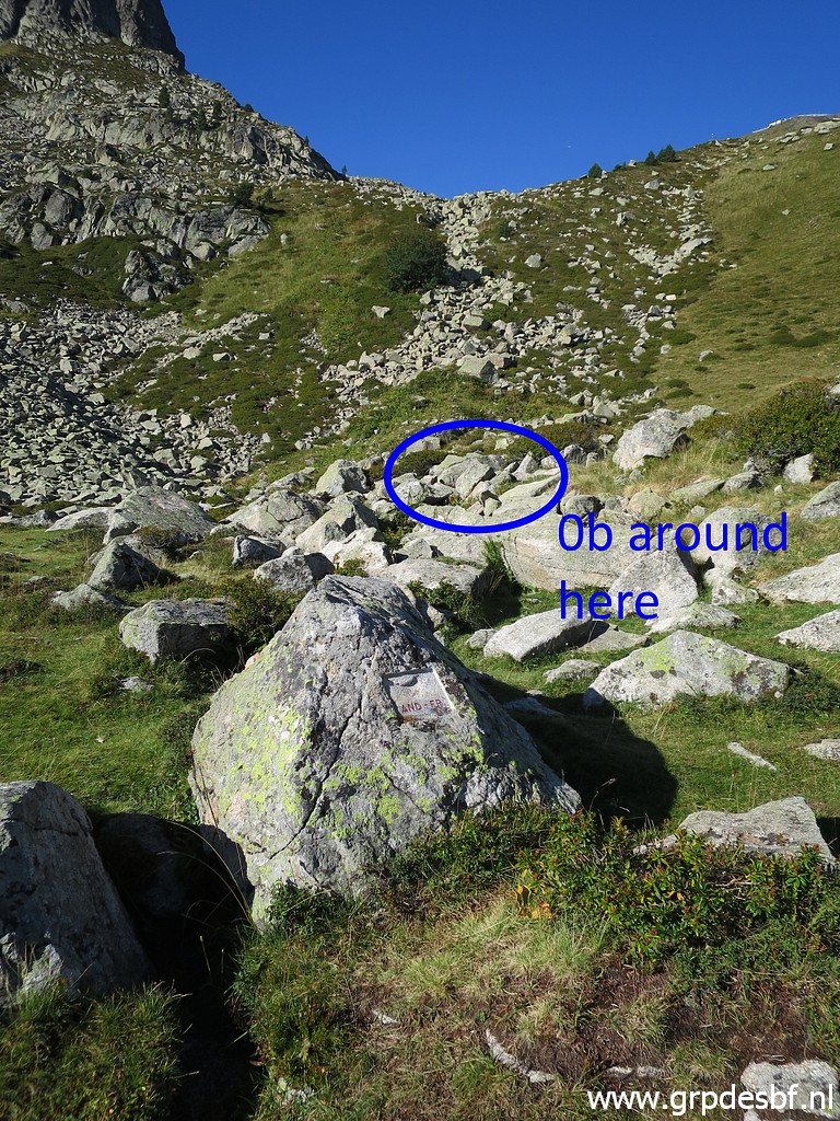
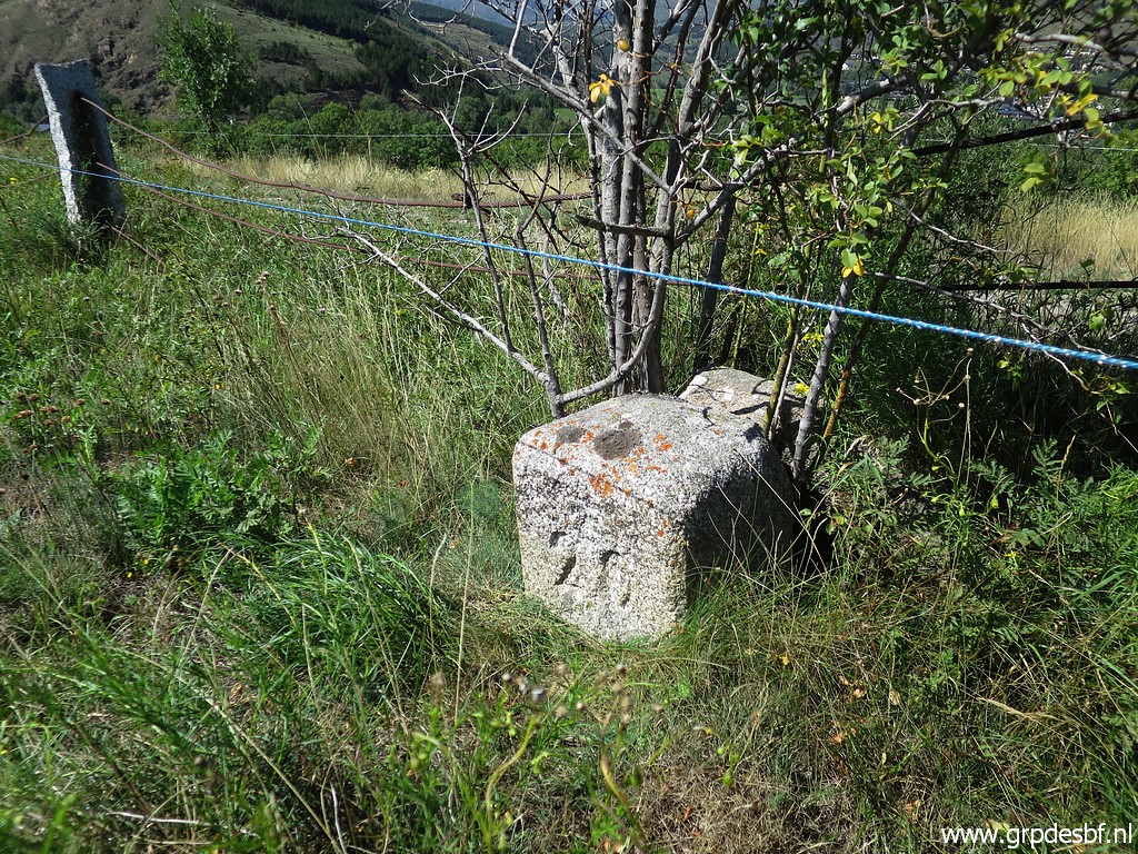
 | Adfr0b is not so easy to find between all the rocks. (click photo to enlarge) |
 | Adfr0b (click photo to enlarge) |
 | Adfr0b (click photo to enlarge) |
 | Adfr0b (click photo to enlarge) |
 | Adfr0b (click photo to enlarge) |
 | Adfr0b (click photo to enlarge) |
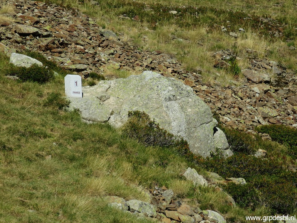
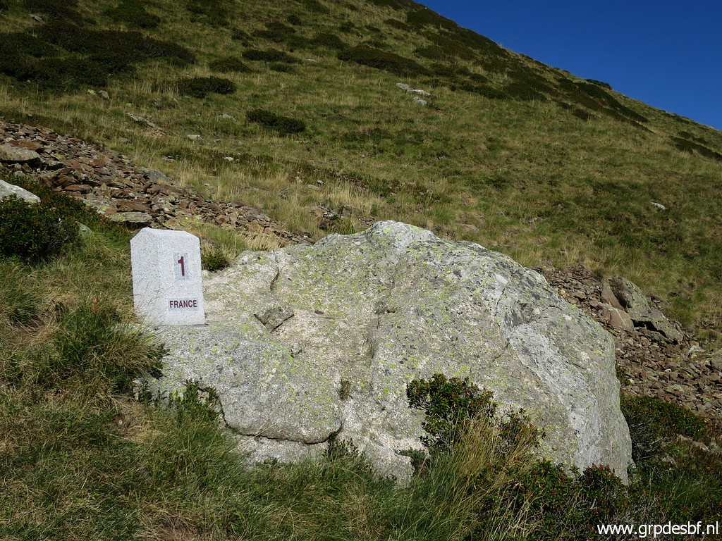
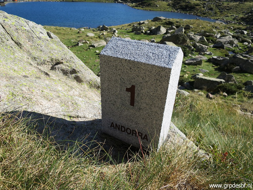
 | The next one is no. 1: Adfr1 (click photo to enlarge) |
 | Adfr1 (click photo to enlarge) |
 | Adfr1 (click photo to enlarge) |
 | Adfr1 (click photo to enlarge) |
 | Adfr1 (click photo to enlarge) |
 | Adfr1 (click photo to enlarge) |
 | Adfr1 (click photo to enlarge) |
 | Looking back (click photo to enlarge) |
 | Approaching Adfr1a (click photo to enlarge) |
 | Adfr1a (click photo to enlarge) |
 | Adfr1a (click photo to enlarge) |
 | Adfr1a with no. 2 in the background (click photo to enlarge) |
 | Adfr1a (click photo to enlarge) |
 | Adfr1a (click photo to enlarge) |
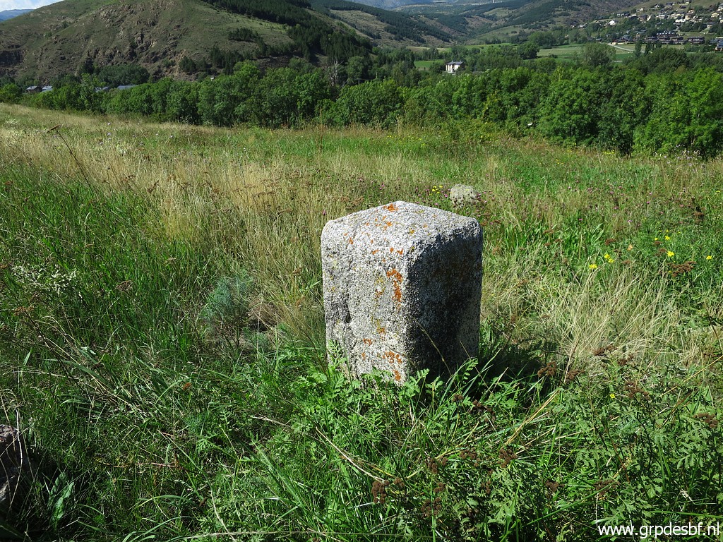
 | Adfr2 (click photo to enlarge) |
 | Adfr2 (click photo to enlarge) |
 | Adfr2 (click photo to enlarge) |
 | Adfr2 (click photo to enlarge) |
 | Adfr2 (click photo to enlarge) |
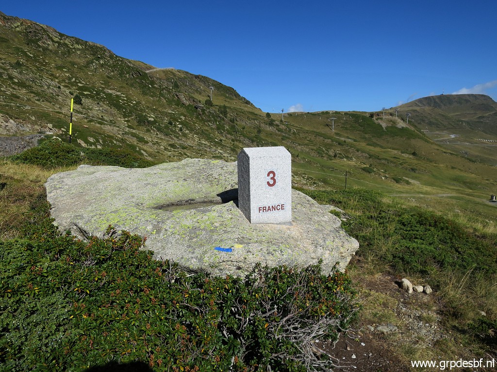
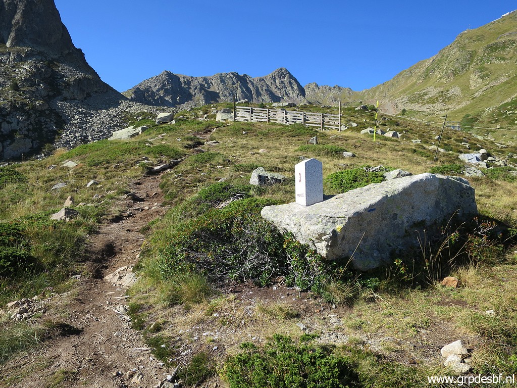 | Then uphill, the last one: Adfr3 (click photo to enlarge) |
 | Adfr3 (click photo to enlarge) |
 | Adfr3 (click photo to enlarge) |
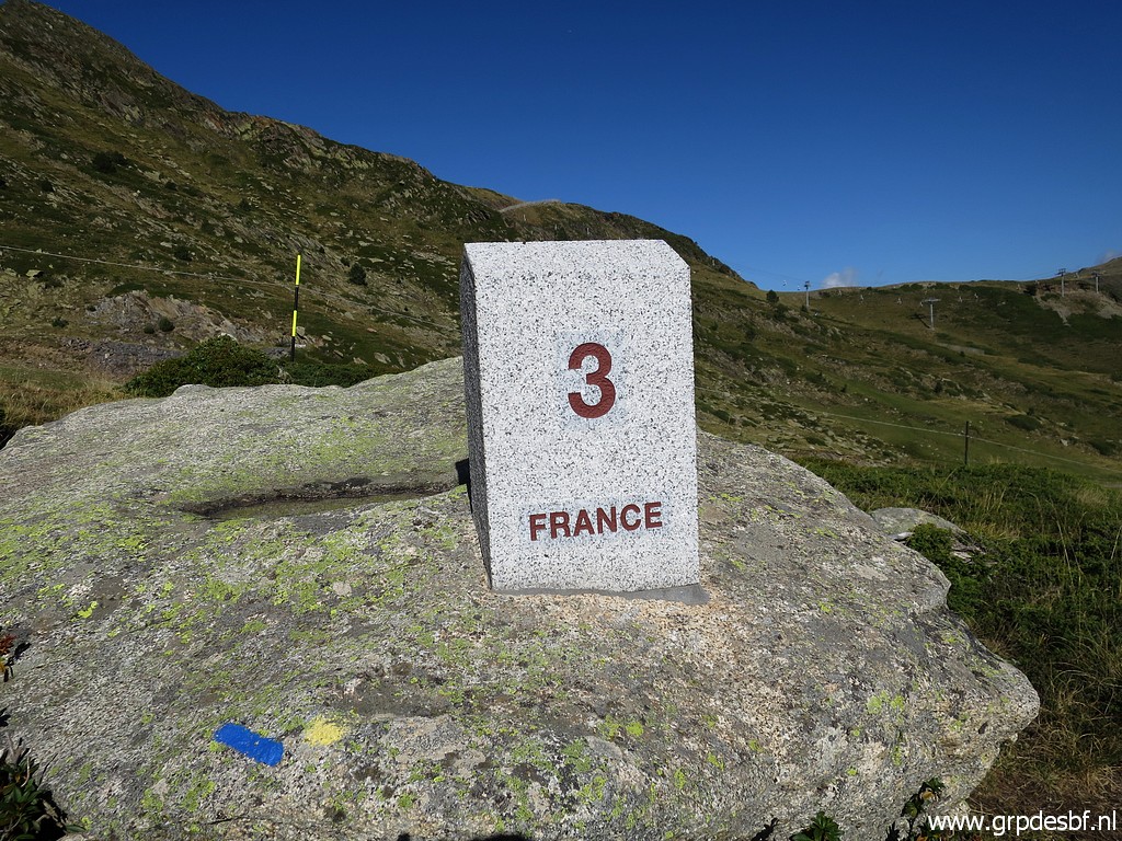 | Adfr3 (click photo to enlarge) |
 | Adfr3 (click photo to enlarge) |
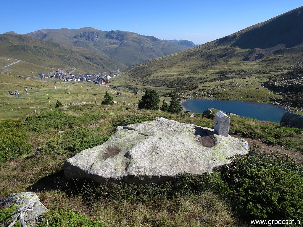 | Adfr3 (click photo to enlarge) |
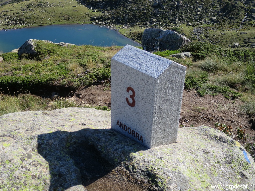 | Adfr3 (click photo to enlarge) |
 | Then returning and passing Adfr2 again. Back to the car and driving to Bourg-Madame, (click photo to enlarge) |
Trip 2: bm478f, 479fr, 480-482 |
|
 |
In
Bourg-Madame a walk along some bordermarkers and a visit to 2 old ones
at the edge of the city. Some of them I did more than 10 years ago,
another criterium I invented, or I did them only once before in their
single or double status. Gps-track track-20220830-trip2.kml (click to open this trip in Google Earth or copy link to Google Maps; click right on this link to download gpx-version). The gps-track has not been manually corrected which explains the inaccuracy and misalignment at some points. |
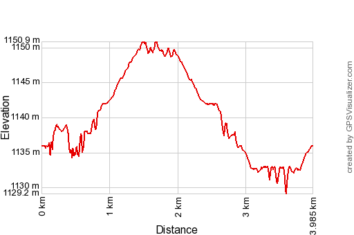 |
According to Garmin
Basecamp (uncorrected track with elevation added by Gpsvisualizer.com): Distance: 4,0 km Max-height: 1151m Min-height: 1129m Elevation: +57m -57m Total elevation: 114m Start 12:22 Finish 13:44 Total time: 1:22 |
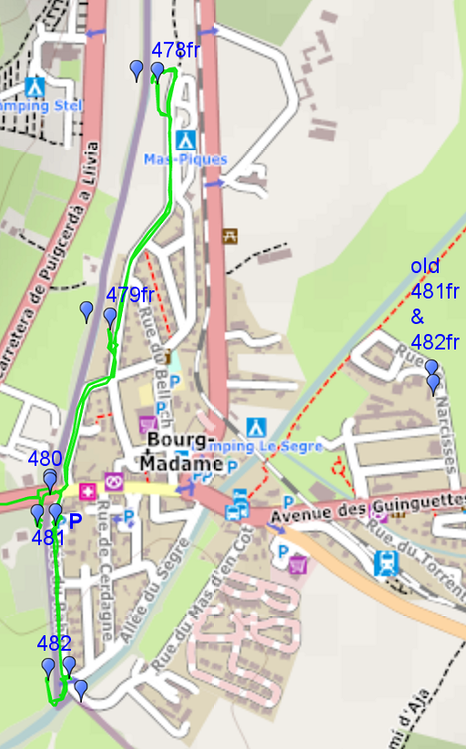
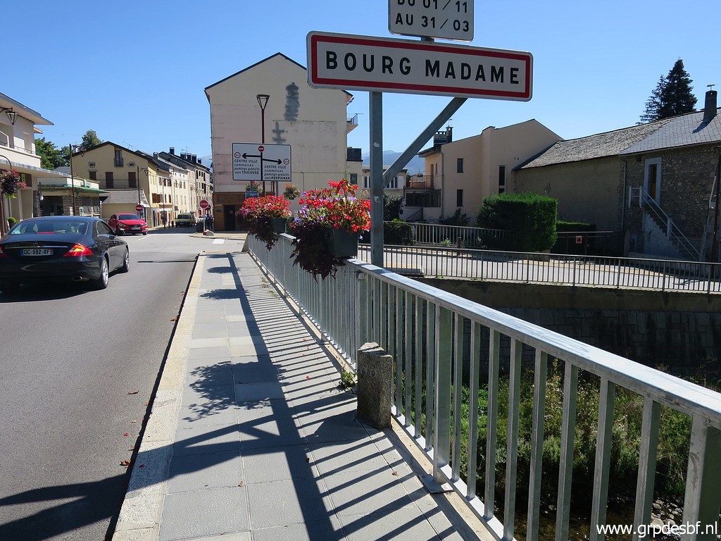
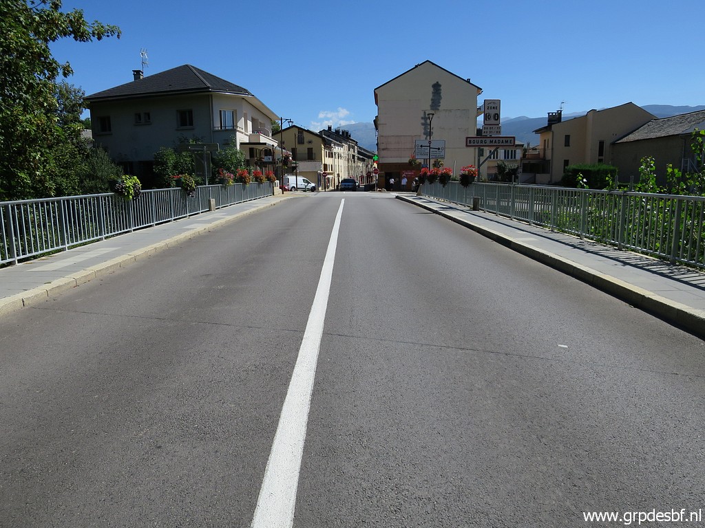
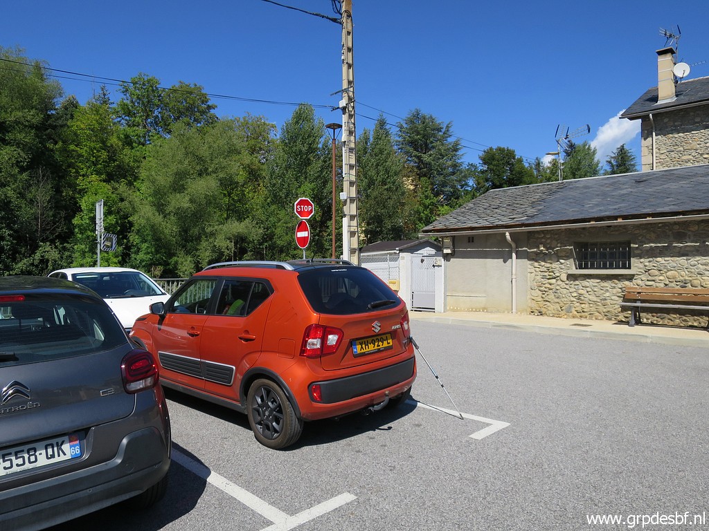 | Parking in Bourg-Madame (click photo to enlarge) |
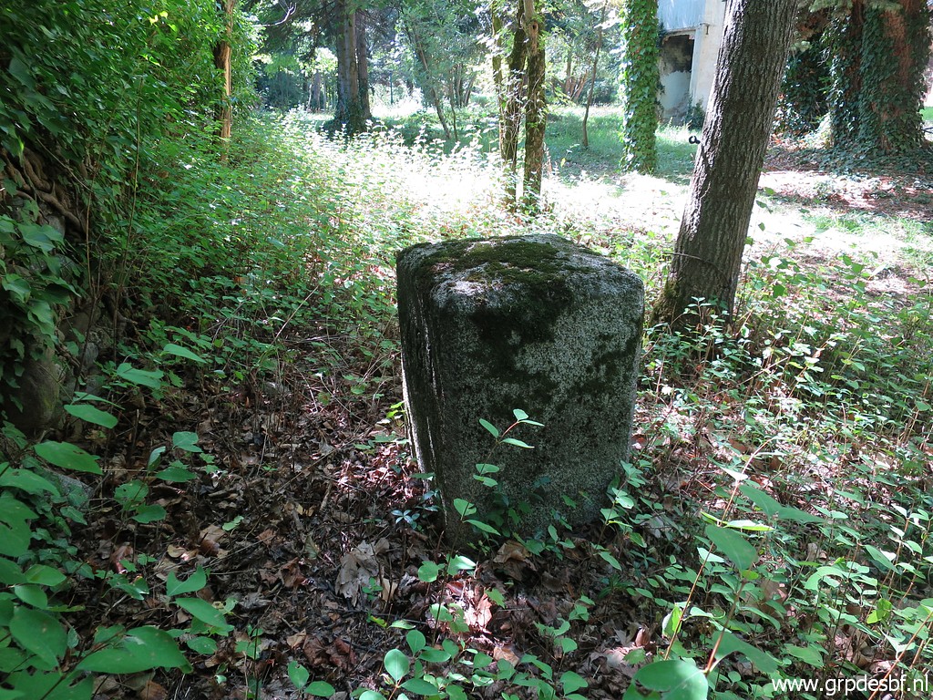
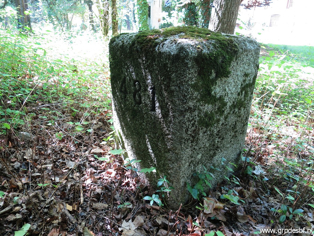
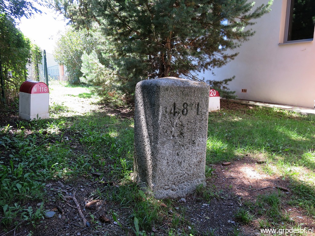
 | Bm481fr (click photo to enlarge) |
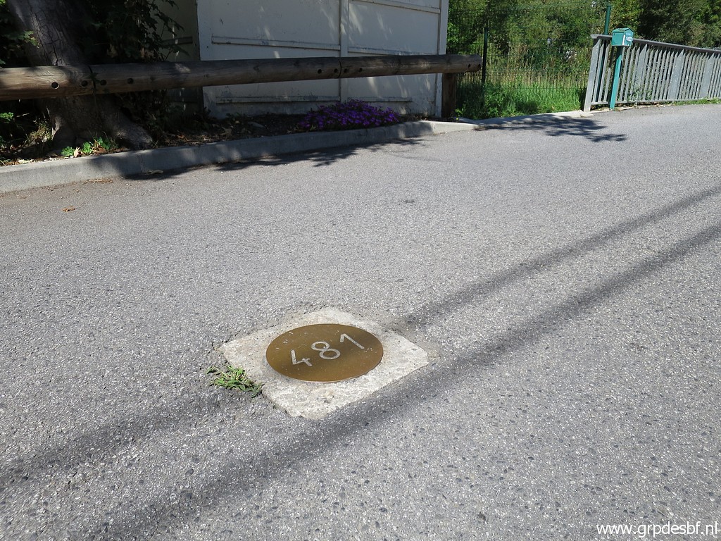 | Bm481fr, I will visit the original marker later. (click photo to enlarge) |
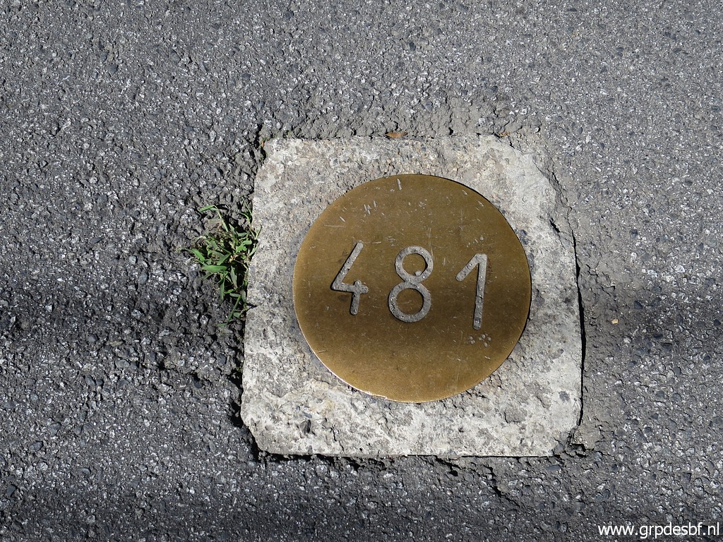 | Bm481fr (click photo to enlarge) |
 | Bm481fr (click photo to enlarge) |
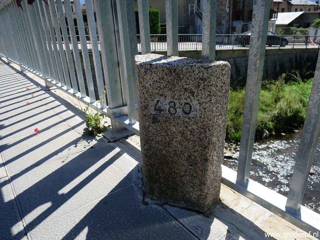
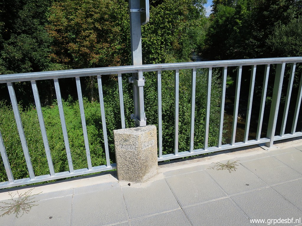
 | Bm480 - both markers, looking into Spain (click photo to enlarge) |
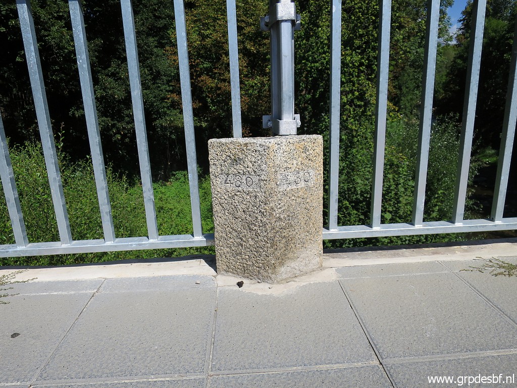
 | Bm480-south (click photo to enlarge) |
 | Bm480-south (click photo to enlarge) |
 | Bm480-south (click photo to enlarge) |
 | Bm480-south (click photo to enlarge) |
 | Bm480-north (click photo to enlarge) |
 | Bm480-north (click photo to enlarge) |
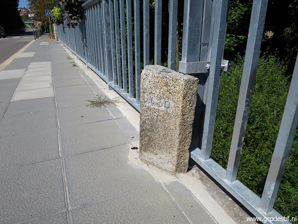 | Bm480-north (click photo to enlarge) |
 | Bm480-north (click photo to enlarge) |
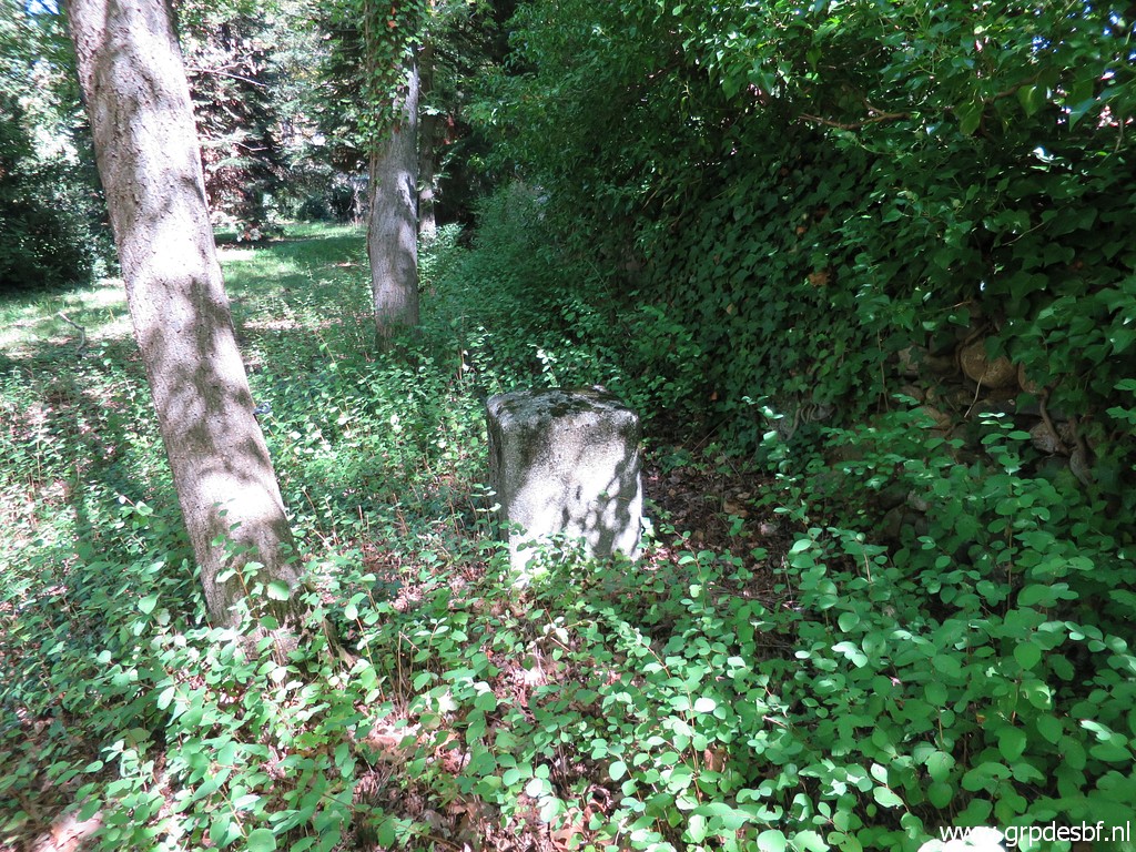
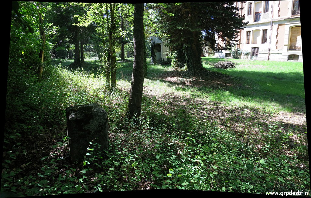
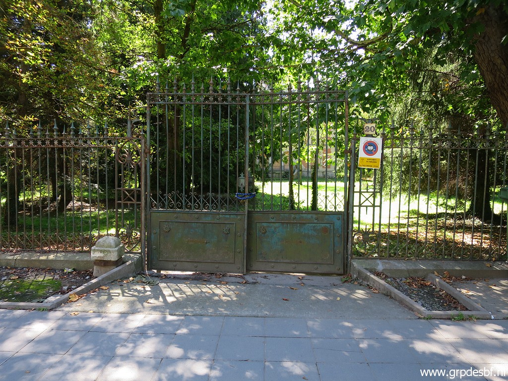 | I have a look the deserted villa which has been unhabited since the first time I visited bm481es on its premises on 10-7-2005. That surprises me still: who doesn't want to live in a villa with its own bordermarker? (click photo to enlarge) |
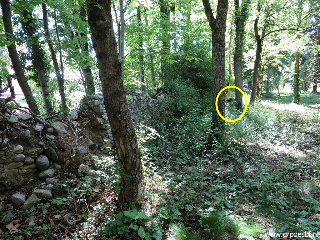
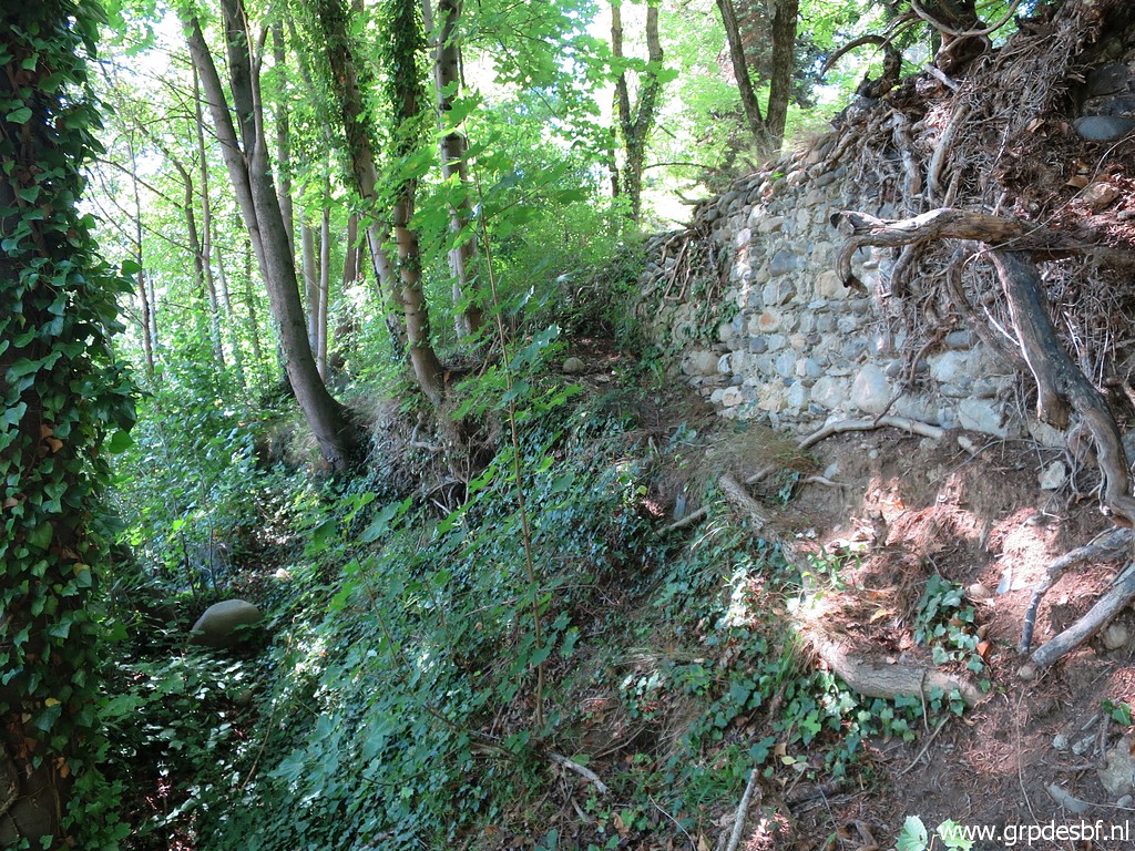 | I know how to get to bm481es. There is a trail between the wall and the river which brings you to a spot where you can easily climb over the wall. (click photo to enlarge) |
 | Bm481es is along the wall. (click photo to enlarge) |
 | Bm481es (click photo to enlarge) |
 | Bm481es (click photo to enlarge) |
 | Bm481es (click photo to enlarge) |
 | Bm481es (click photo to enlarge) |
 | Bm481es (click photo to enlarge) |
 | Bm481es with the villa. (click photo to enlarge) |
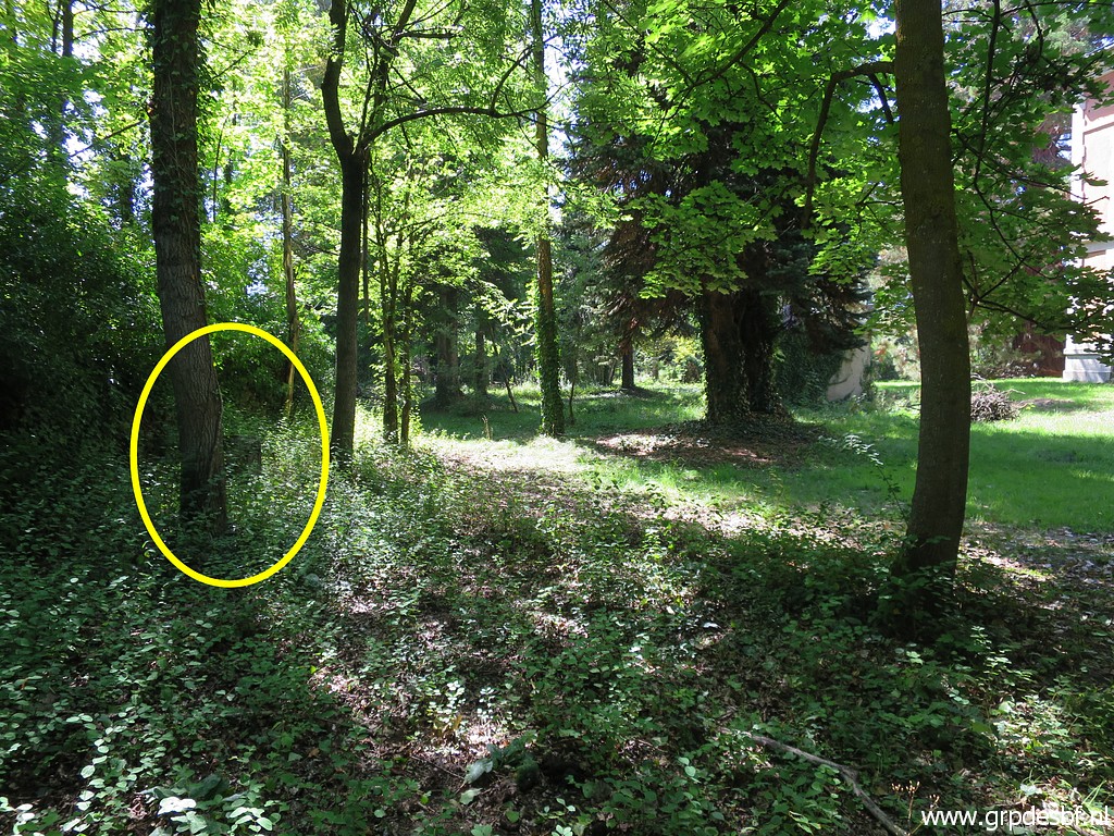
 | Bm481es with to the left the breach in the wall. (click photo to enlarge) |
 | I climb back over the wall. Someone sleeps here now and then. (click photo to enlarge) |
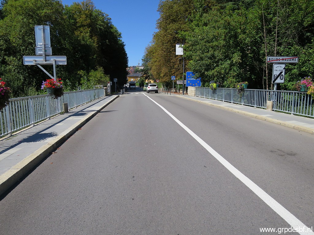
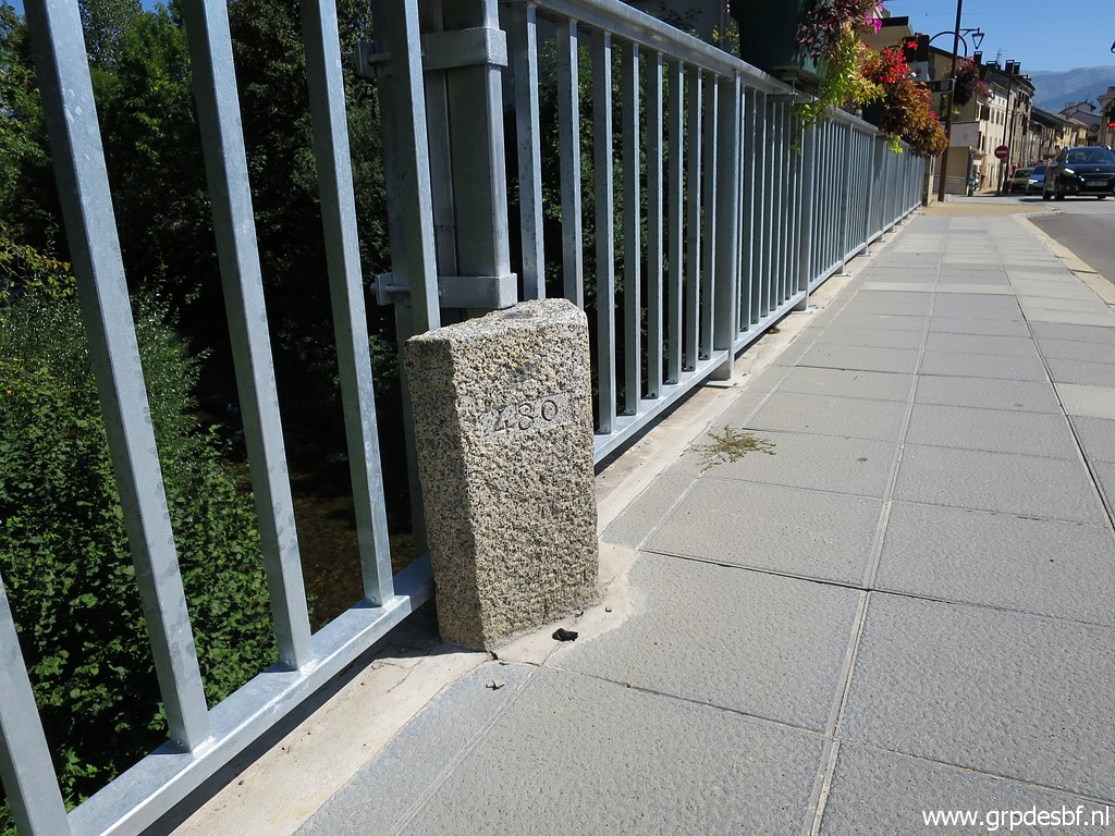
 | Back at the bridge: bm480 - both markers, looking into France (click photo to enlarge) |
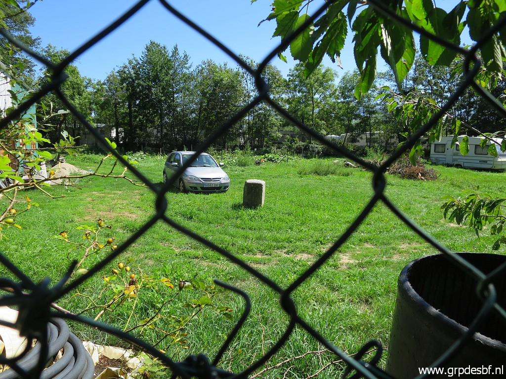
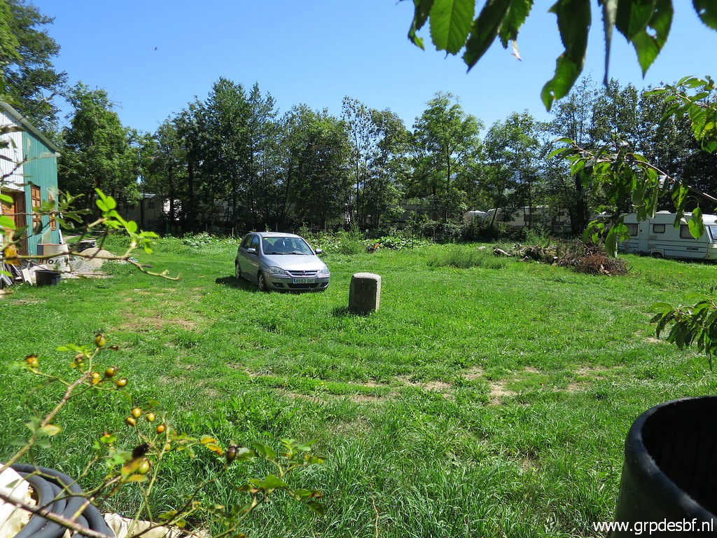
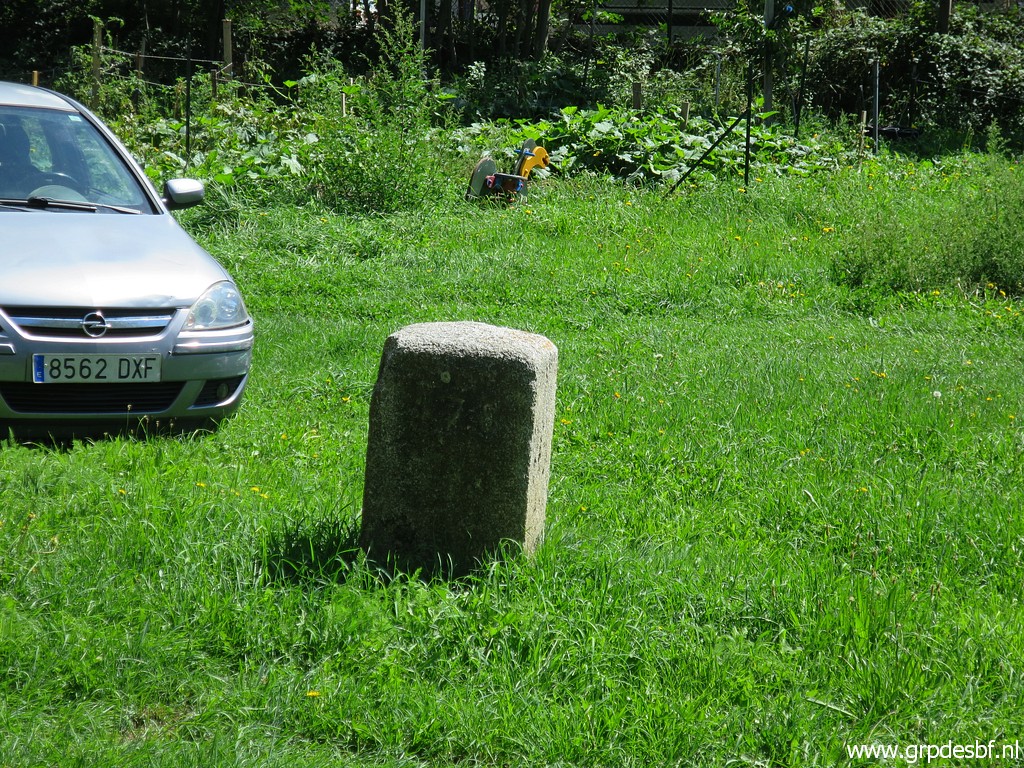
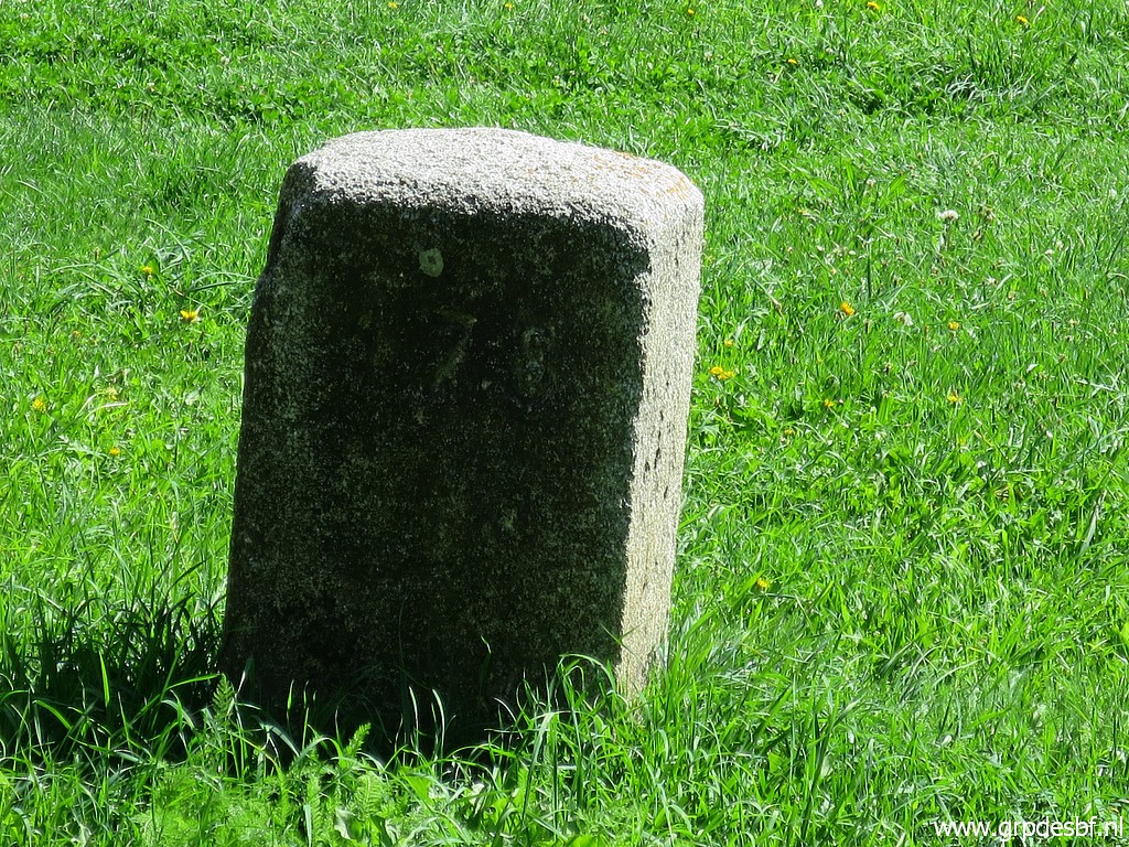
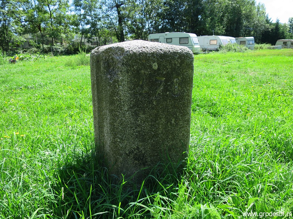
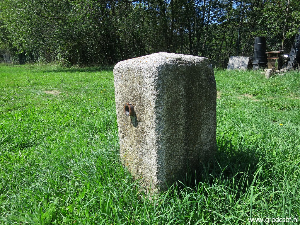
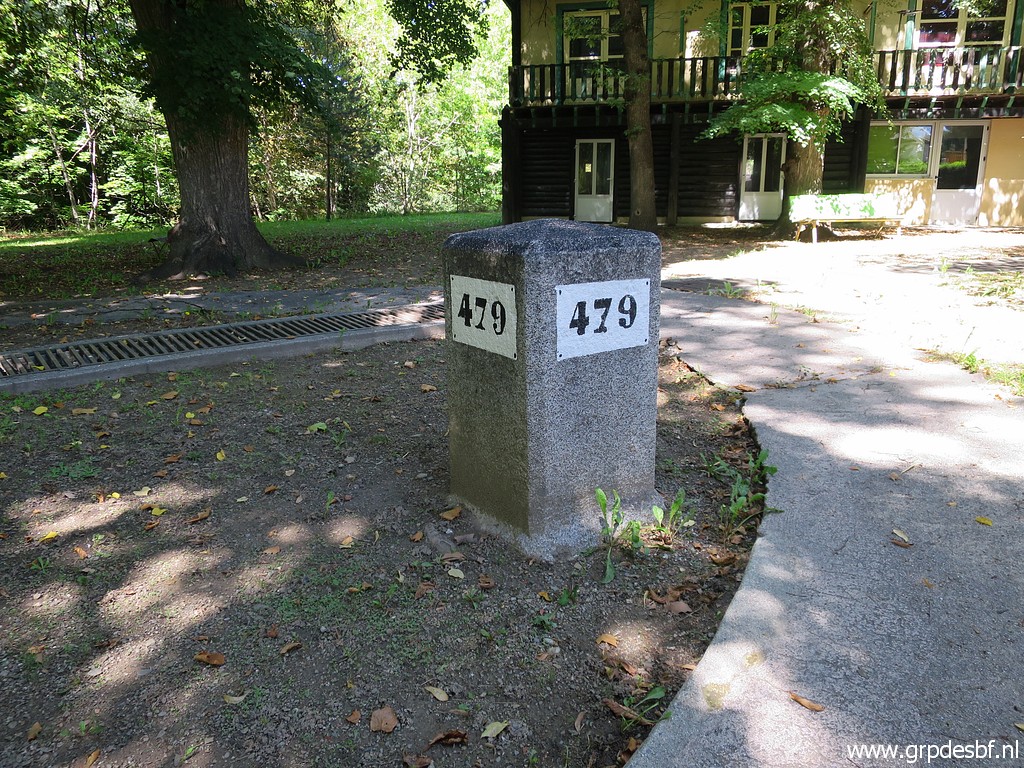
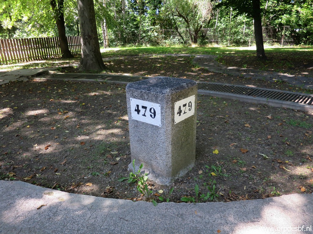
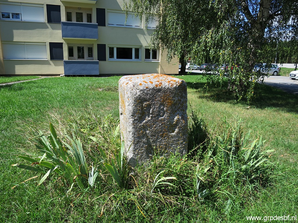
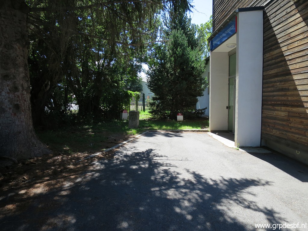
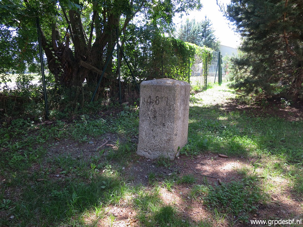
 | Then heading N and passing bm479fr in the garden of a youth institution. (click photo to enlarge) |
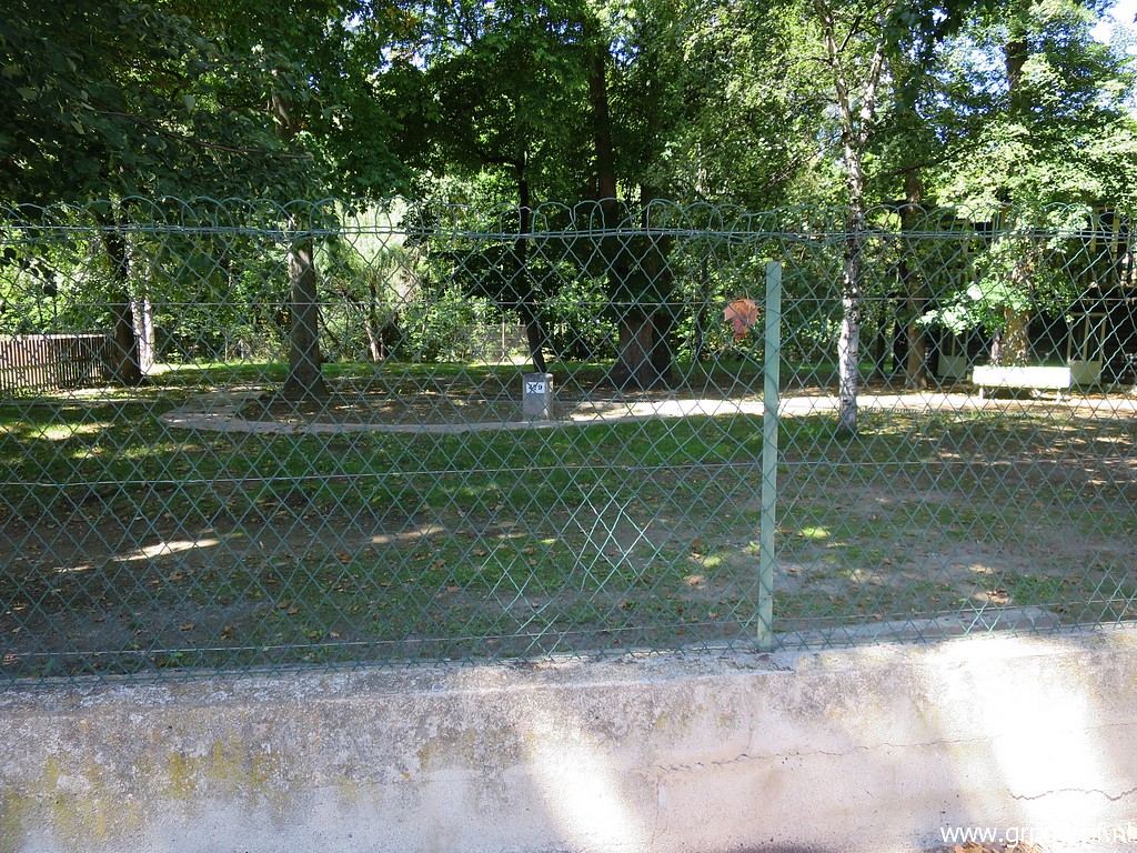
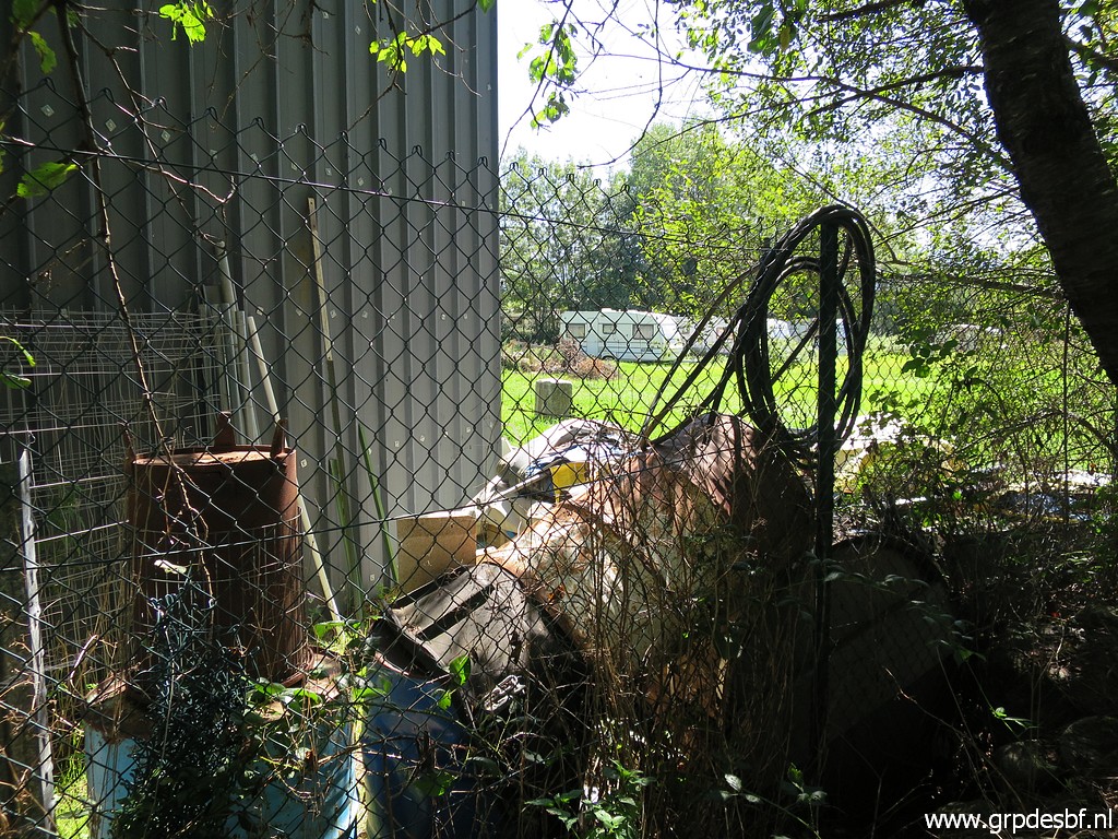
 | But first to bm478fr, still on an enclosed piece of land. High fences and closed gates still obstruct access, so it seems. (click photo to enlarge) |
 | Zoom-in to bm478fr (click photo to enlarge) |
 | But I know that there is a better way to see bm478fr and that is from the riverside. (click photo to enlarge) |
 | Bm478fr (click photo to enlarge) |
 | Bm478fr (click photo to enlarge) |
 | Bm478fr (click photo to enlarge) |
 | Bm478fr (click photo to enlarge) |
 | Still no access discovered but on my way back I try the south side of the field and see that the fence has been damaged. I take my chance and slip quickly into the field towards (click photo to enlarge) |
 | Bm478fr (click photo to enlarge) |
 | Bm478fr (click photo to enlarge) |
 | Bm478fr (click photo to enlarge) |
 | Bm478fr (click photo to enlarge) |
 | Bm478fr I am happy that I succeeded to get so close. (click photo to enlarge) |
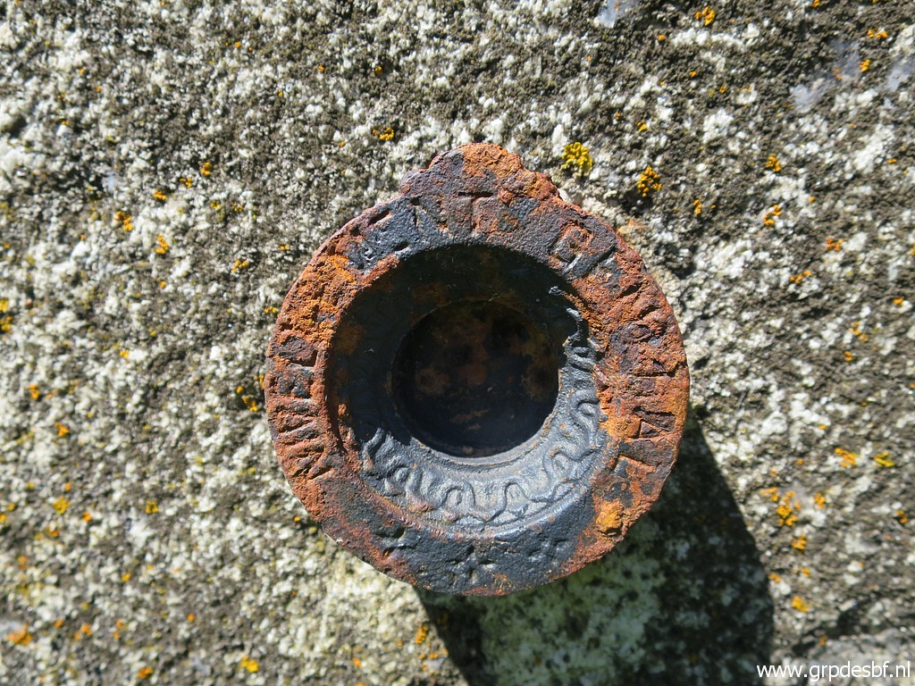
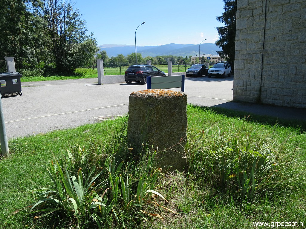
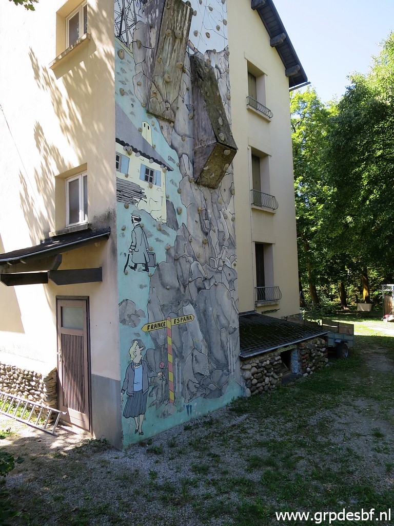 | Then returning to the youth institution with this lovely climbing wall. A passer-by tells me that the institution left this building a few years ago so no one is there. I can easily climb the fence (click photo to enlarge) |
 | to photograph bm479fr. (click photo to enlarge) |
 | Bm479fr (click photo to enlarge) |
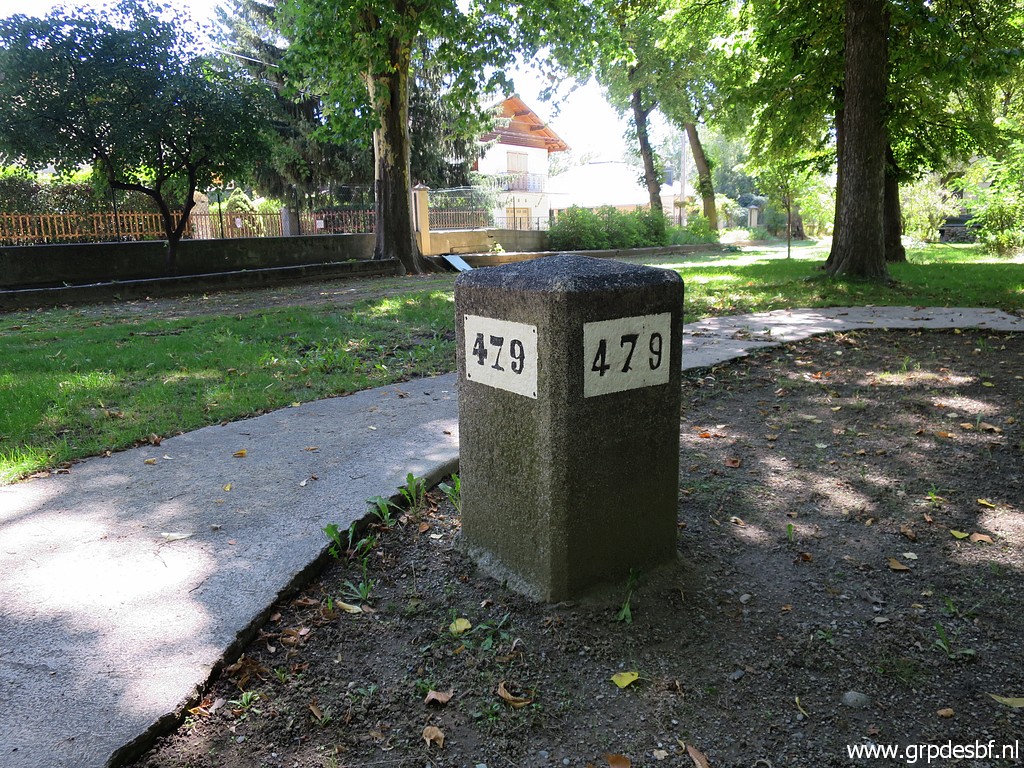 | Bm479fr (click photo to enlarge) |
 | Bm479fr (click photo to enlarge) |
 | This is the spot where I climbed over the fence. (click photo to enlarge) |
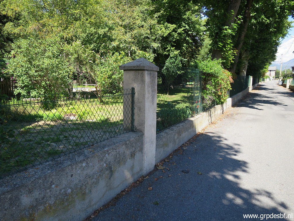
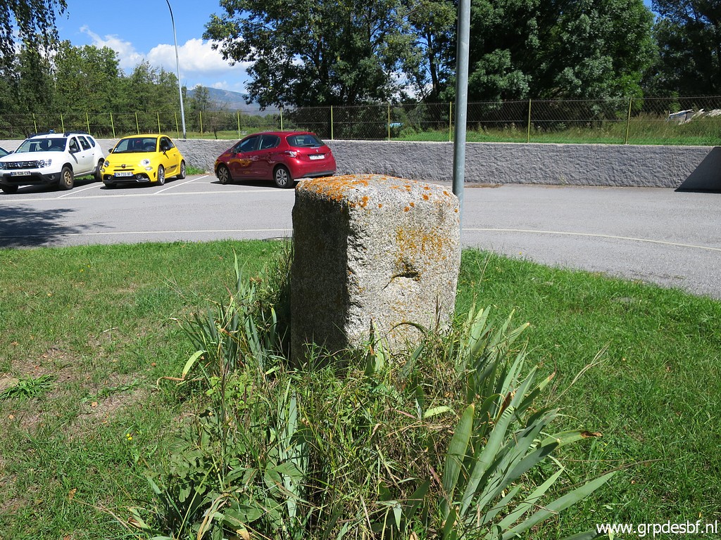
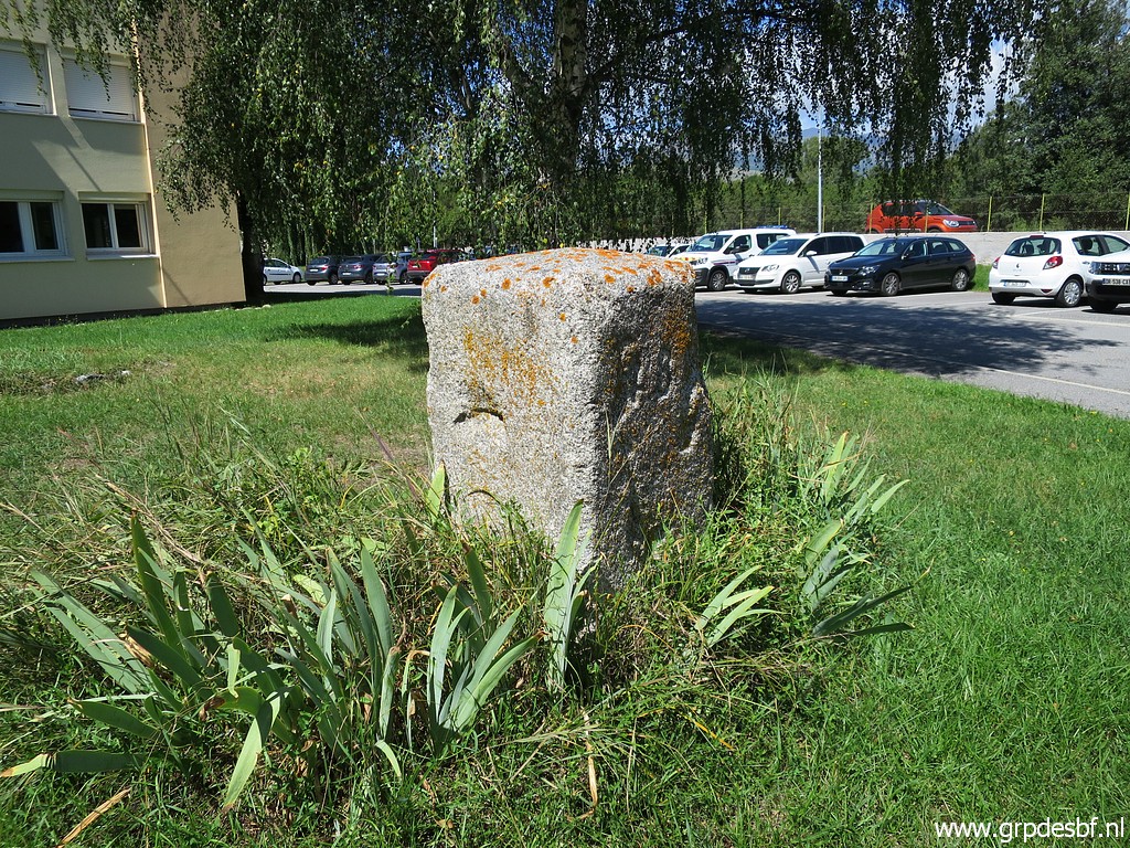
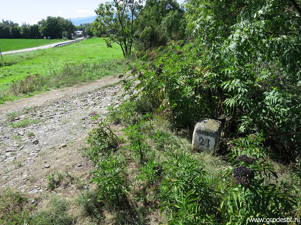
 | Then walking to the S to bm482fr (click photo to enlarge) |
 | which is also a metal plate in the tarmac-surface. The original marker, I will visit later. (click photo to enlarge) |
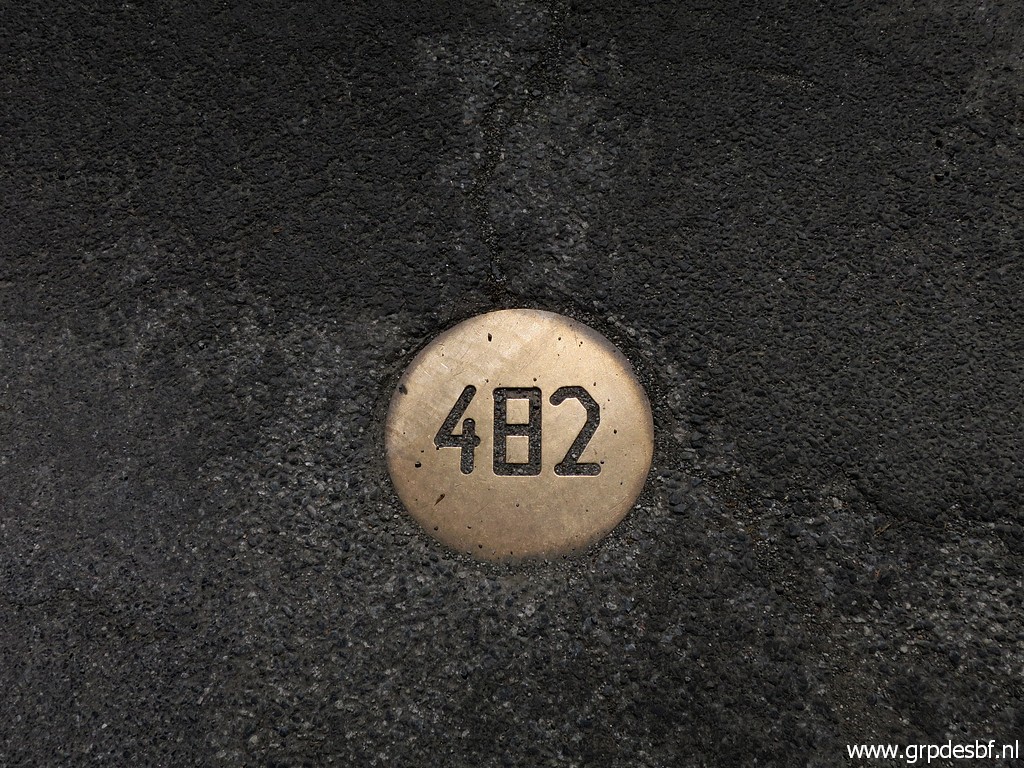 | Bm482fr (click photo to enlarge) |
 | Bm482fr (click photo to enlarge) |
 | Bm482fr (click photo to enlarge) |
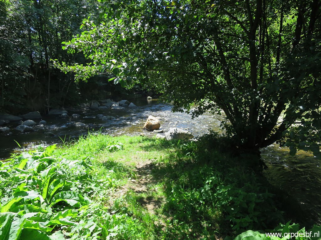 | I am close to bm42es so why not do that one as well. I have to cross a stream (click photo to enlarge) |
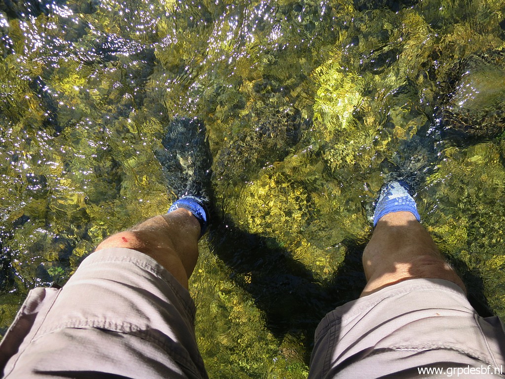 | and I don't bother to take off my running-shoes. They dry quickly. (click photo to enlarge) |
 | Bm482es (click photo to enlarge) |
 | Bm482es (click photo to enlarge) |
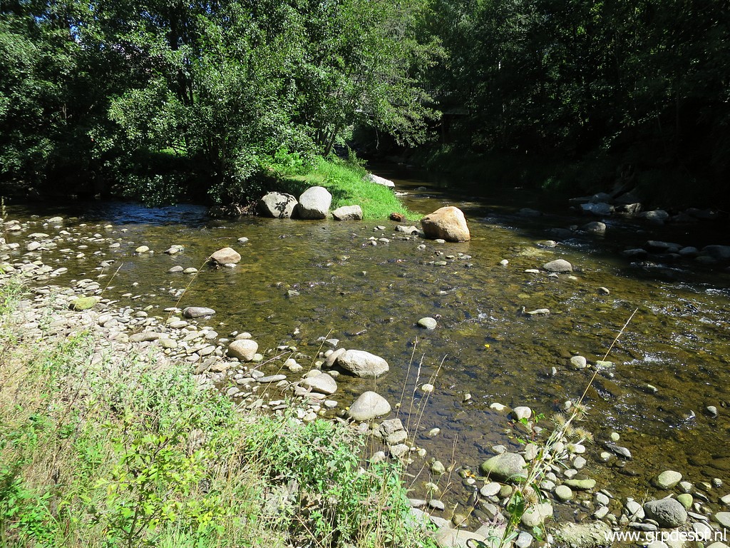 | Then back throught the stream and returning to my car. (click photo to enlarge) |
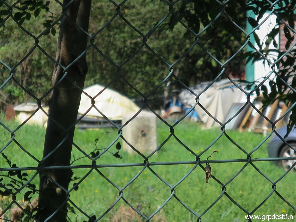
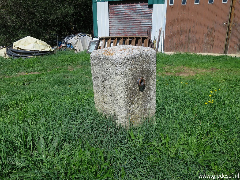
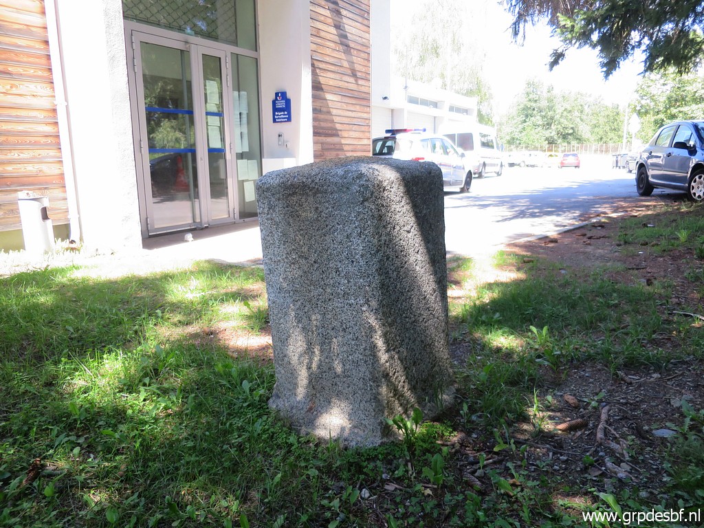
 | Bm482fr-old is in the outskirts of Bourg-Madame, on the premises of the border police. (click photo to enlarge) |
 | Bm482fr-old (click photo to enlarge) |
 | Bm482fr-old (click photo to enlarge) |
 | Bm482fr-old (click photo to enlarge) |
 | Bm482fr-old (click photo to enlarge) |
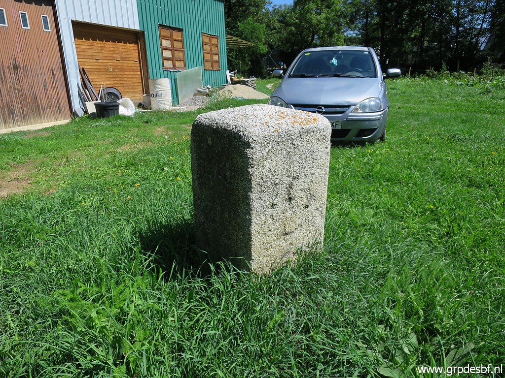
 | Same story for bm4821fr-old. (click photo to enlarge) |
 | Bm4821fr-old (click photo to enlarge) |
 | Bm4821fr-old (click photo to enlarge) |
 | Bm4821fr-old (click photo to enlarge) |
 | Bm4821fr-old (click photo to enlarge) |
| Trip 3: LL32-34 |
|
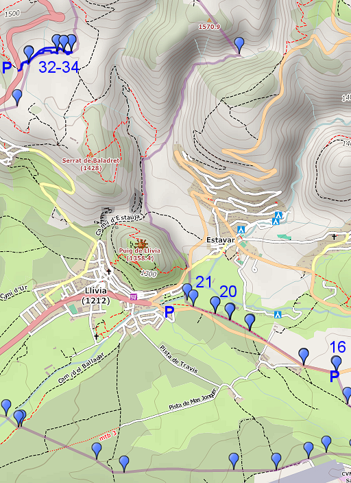 |
My next goal is to redo some Llivia-bordermarkers which I did only once before in their single or double status. NB: 32-34 must be 31-34. |
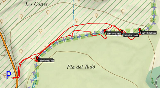 |
Map and Gps-track of the 1st walk track-20220830-trip3.kml (click to open this trip in Google Earth or copy link to Google Maps; click right on this link to download gpx-version). The gps-track has not been manually corrected which explains the inaccuracy and misalignment at some points. |
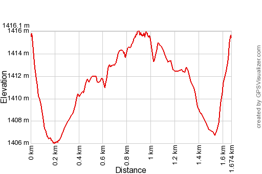 |
This profile refers only to the short walk I did along LL31-34. According to Garmin Basecamp (uncorrected track with elevation added by Gpsvisualizer.com): Distance: 1,7 km Max-height: 1416m Min-height: 1406m Elevation: +26m -27m Total elevation: 53m Start 14:18 Finish 15:09 Total time: 0:51 |
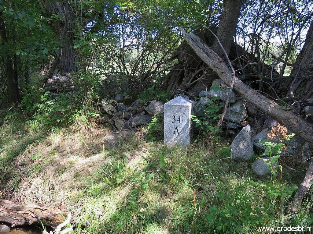
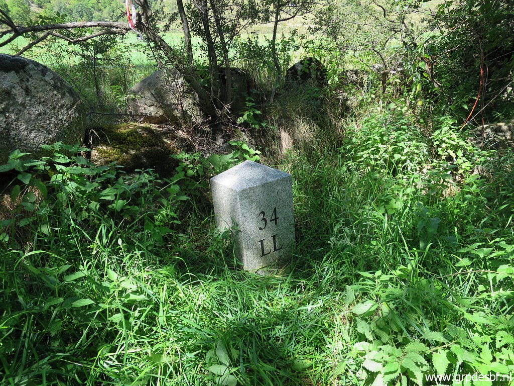
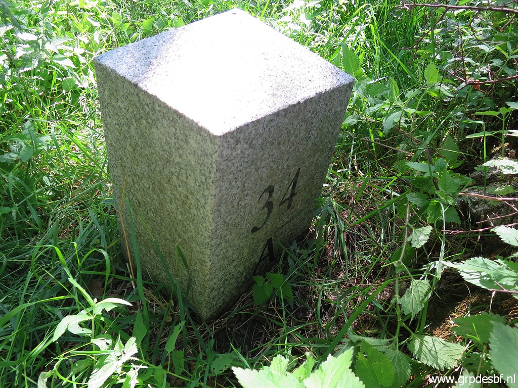
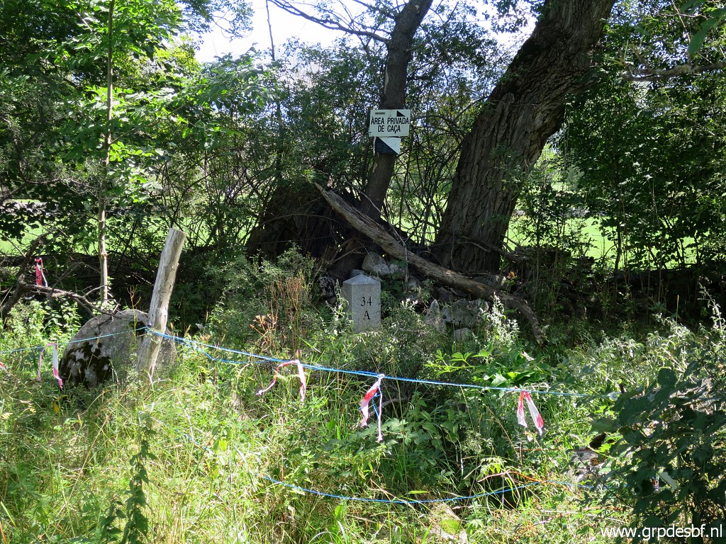 | LL34ll (click photo to enlarge) |
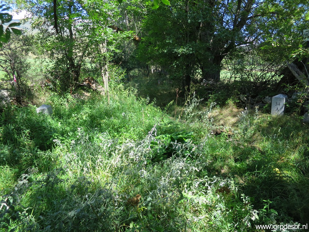 | LL34 -both markers (click photo to enlarge) |
 | LL34ll (click photo to enlarge) |
 | LL34ll (click photo to enlarge) |
 | LL34fr (click photo to enlarge) |
 | LL34fr (click photo to enlarge) |
 | LL34 -both markers (click photo to enlarge) |
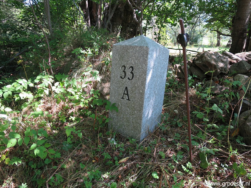
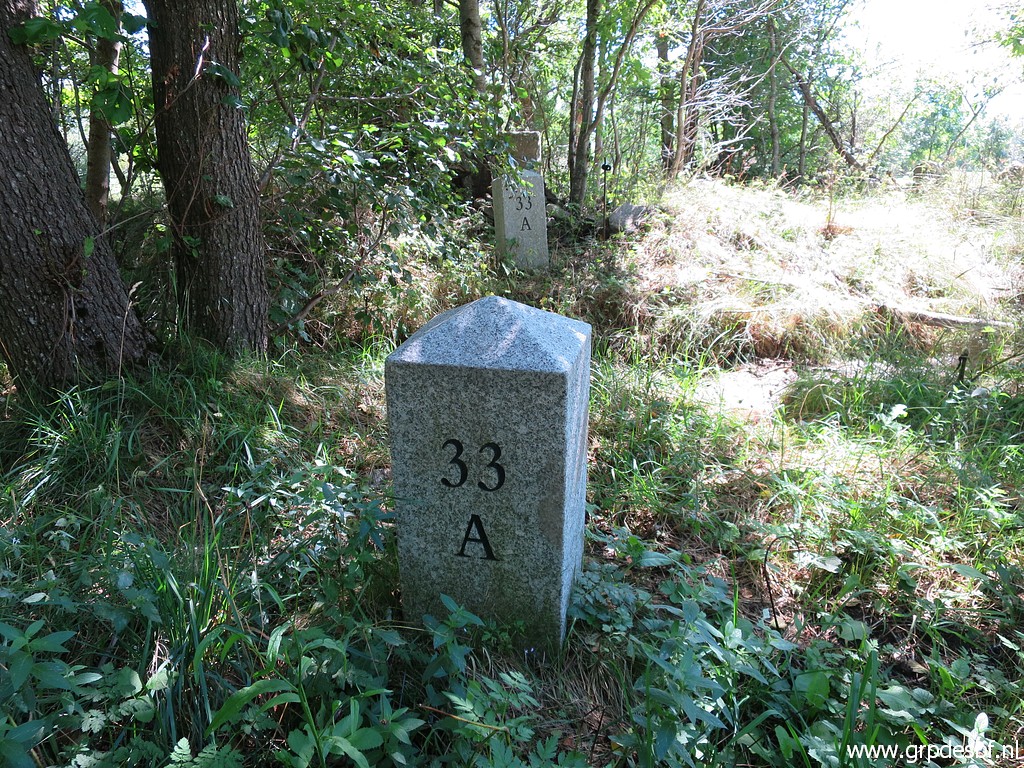
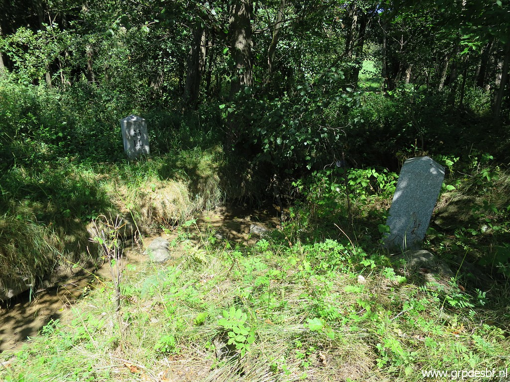 | LL33 -both markers (click photo to enlarge) |
 | LL33 -both markers (click photo to enlarge) |
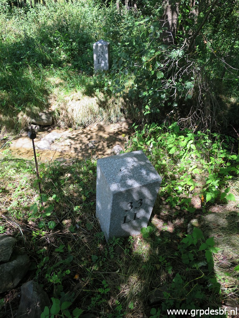
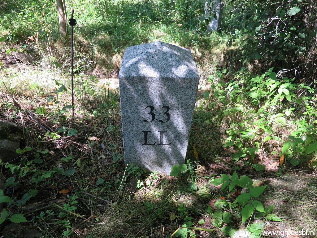 | LL33ll (click photo to enlarge) |
 | LL33ll (click photo to enlarge) |
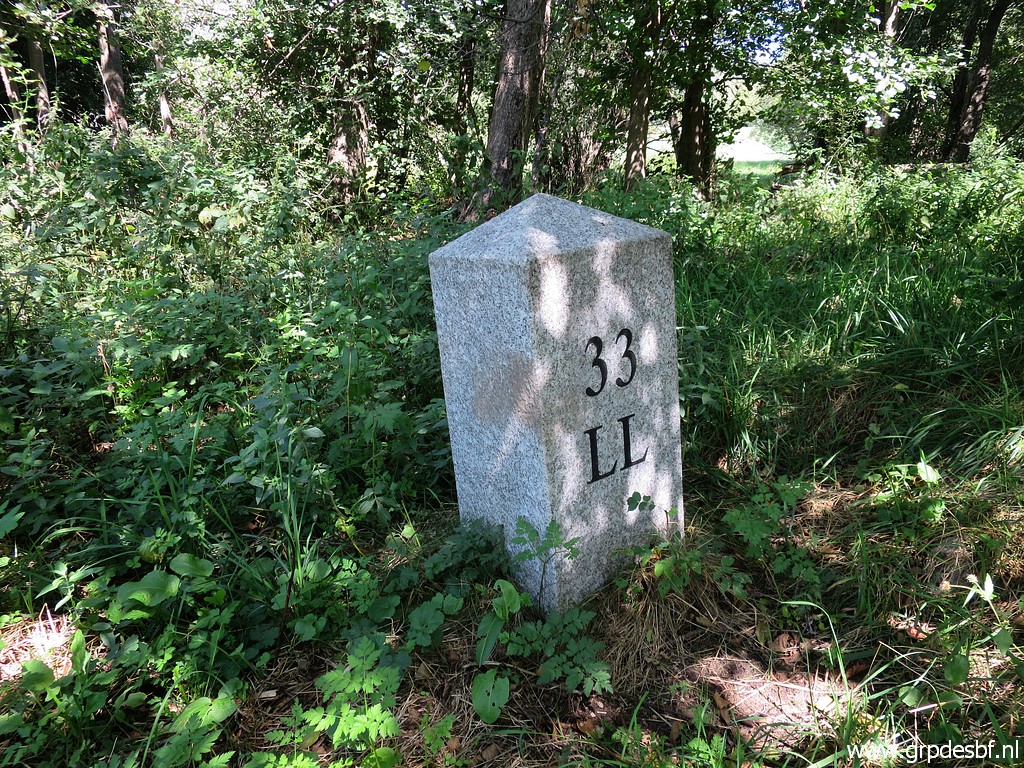 | LL33fr (click photo to enlarge) |
 | LL33 -both markers (click photo to enlarge) |
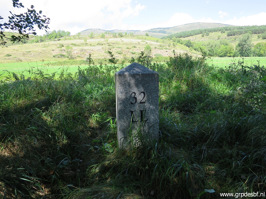
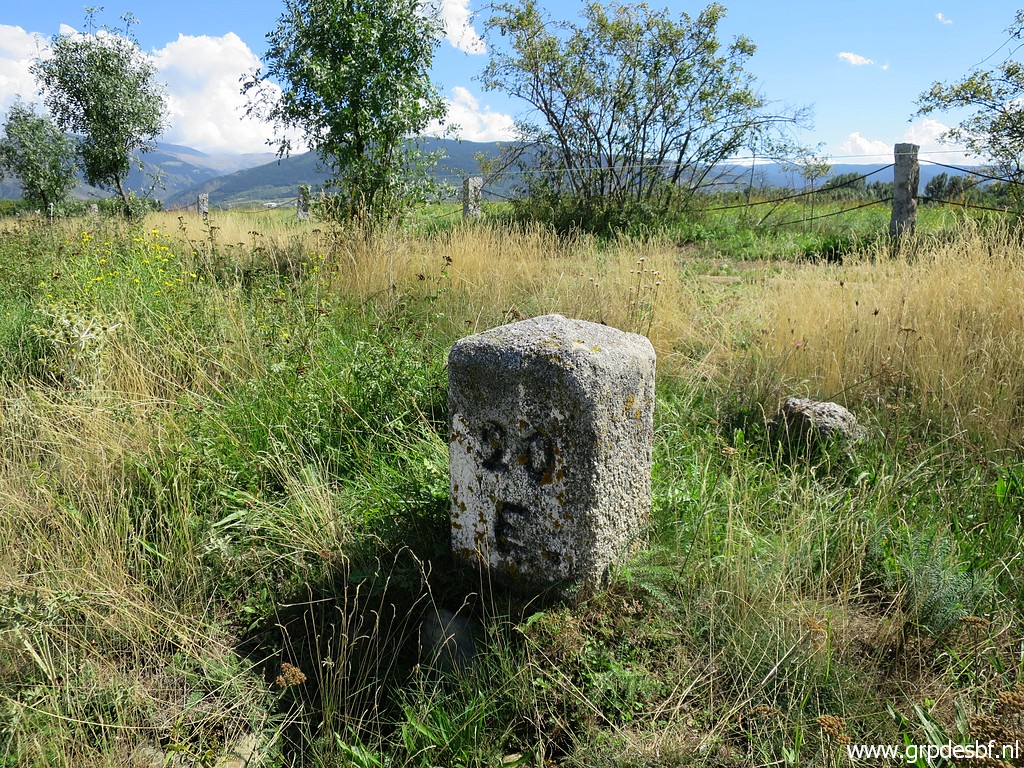
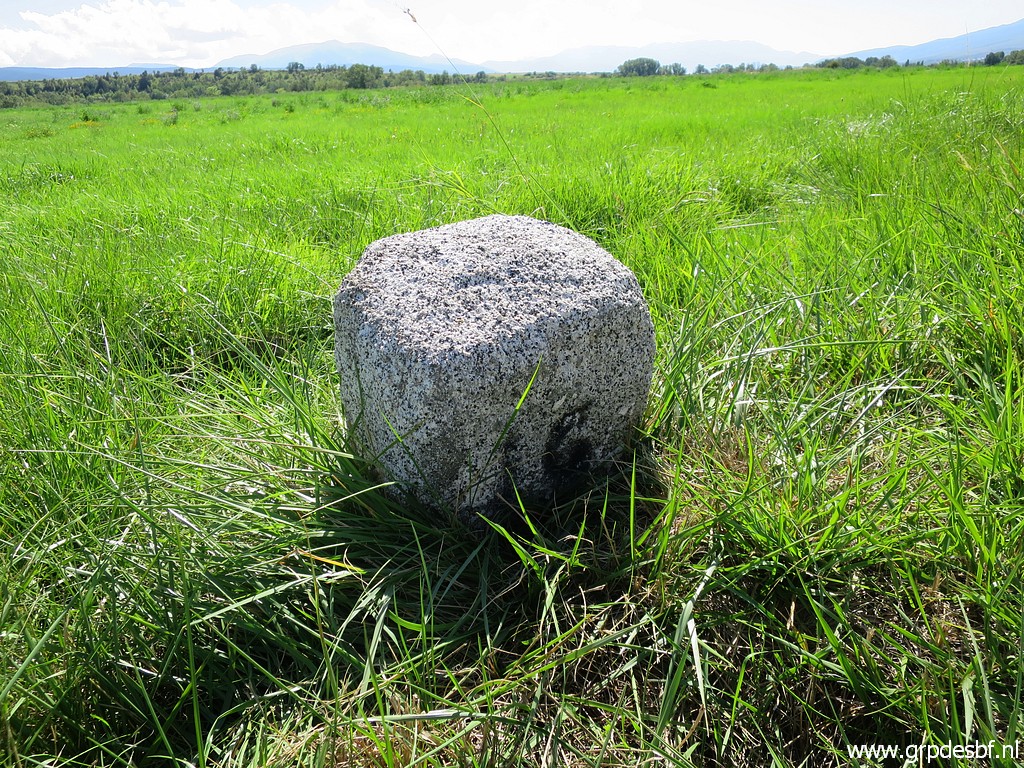
 | LL32 -both markers (click photo to enlarge) |
 | LL32fr (click photo to enlarge) |
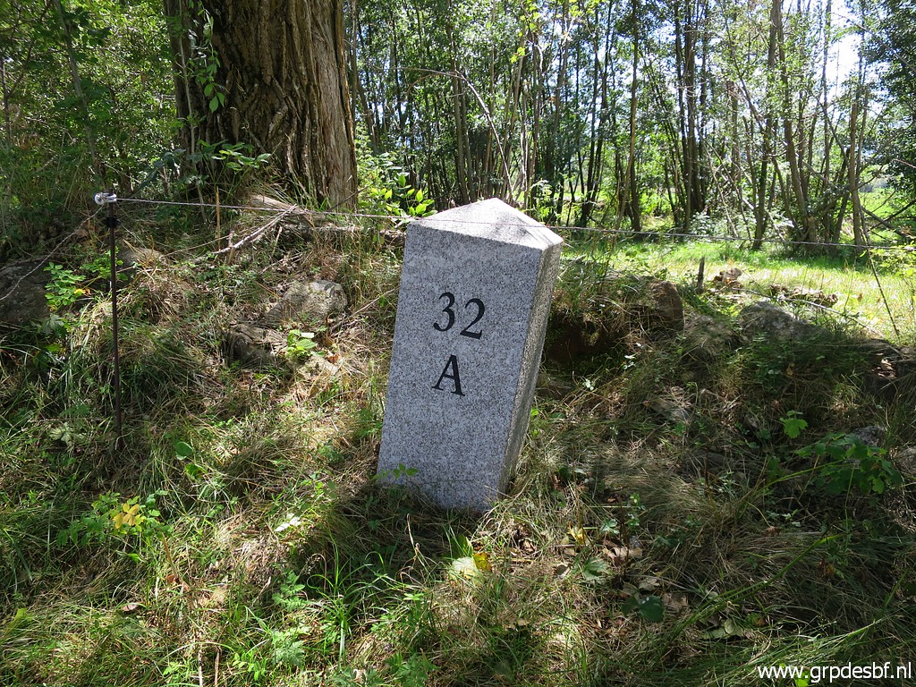 | LL32ll (click photo to enlarge) |
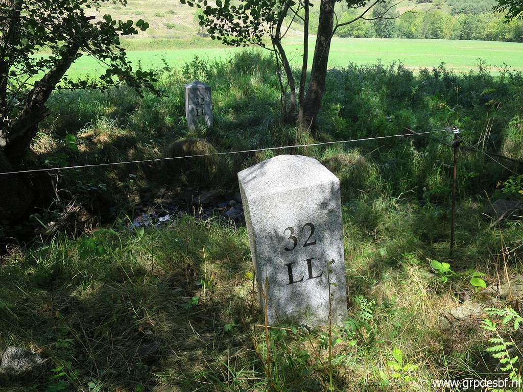 | LL32 -both markers (click photo to enlarge) |
 | LL31 -both markers (click photo to enlarge) |
 | LL31ll (click photo to enlarge) |
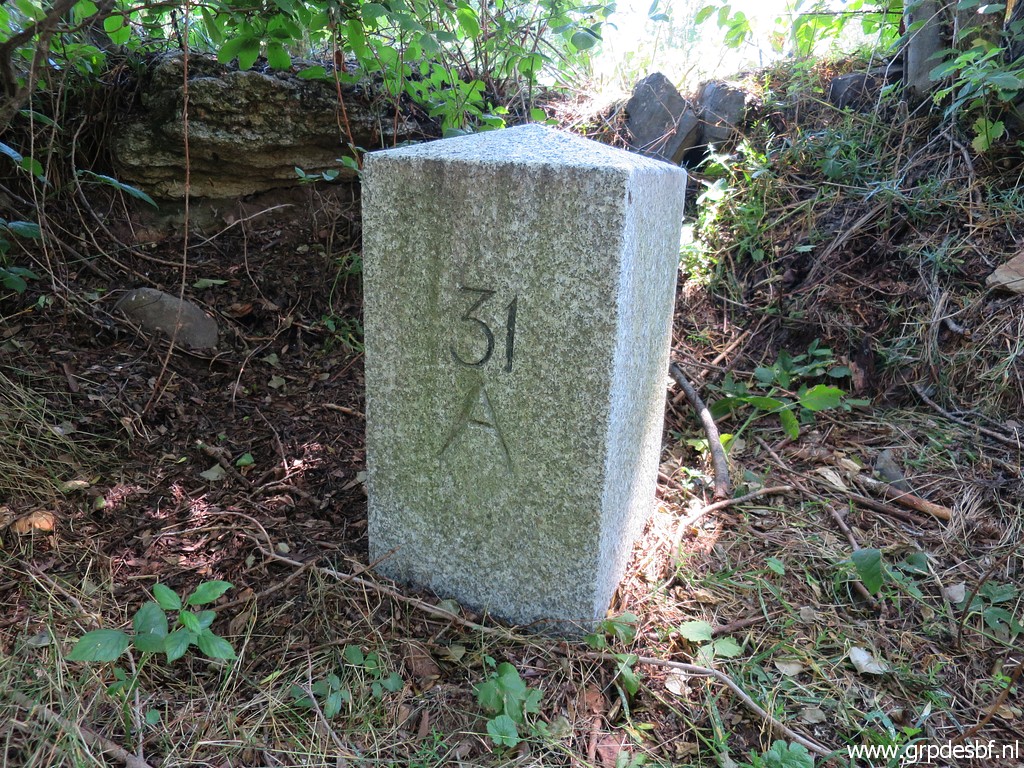 | LL31ll (click photo to enlarge) |
 | LL31fr (click photo to enlarge) |
 | LL31 -both markers (click photo to enlarge) |
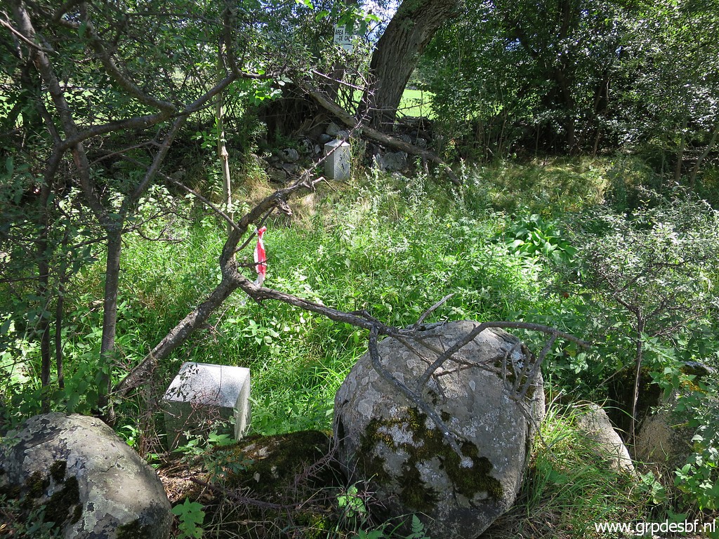
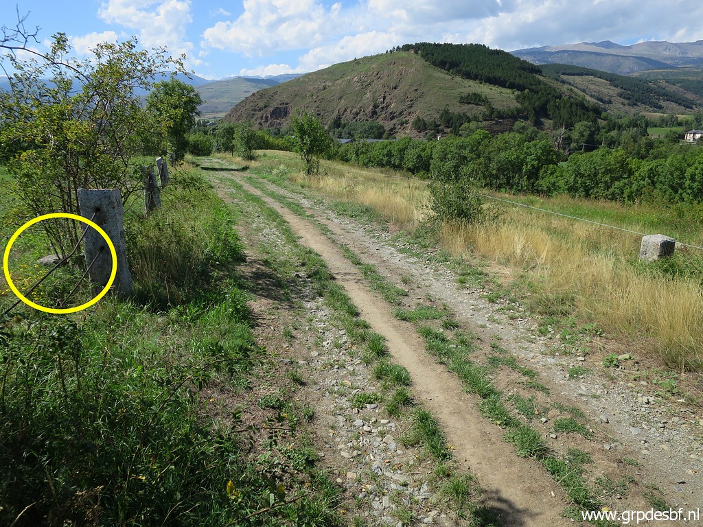
 | Returning to the car. There is something interesting here. The double bordermarkers 31-34 are on either side of the little stream. But if we read the Llivia- bordertreaty carefully, we see that on the (now) French side a dirtroad ('chemin') along the stream was included. So one marker at the S-side of the stream, the other one at the outer (N-) side of the dirtroad. And the middle of that dirtroad was the borderline! So: not the stream. Read all about it in this article. (click photo to enlarge) |
| Trip 4: LL16, LL20, LL21 | |
 | Then the final part of today. Also here Llivia-bordermarkers which I did only once before in their single or double status. LL20 -both markers (click photo to enlarge) |
 | LL20 -both markers (click photo to enlarge) |
 | LL20ll (click photo to enlarge) |
 | LL20fr (click photo to enlarge) |
 | LL20fr (click photo to enlarge) |
 | LL21 (click photo to enlarge) |
 | LL21 Back to the car and driving to (click photo to enlarge) |
 | LL16south (click photo to enlarge) |
 | LL16south (click photo to enlarge) |
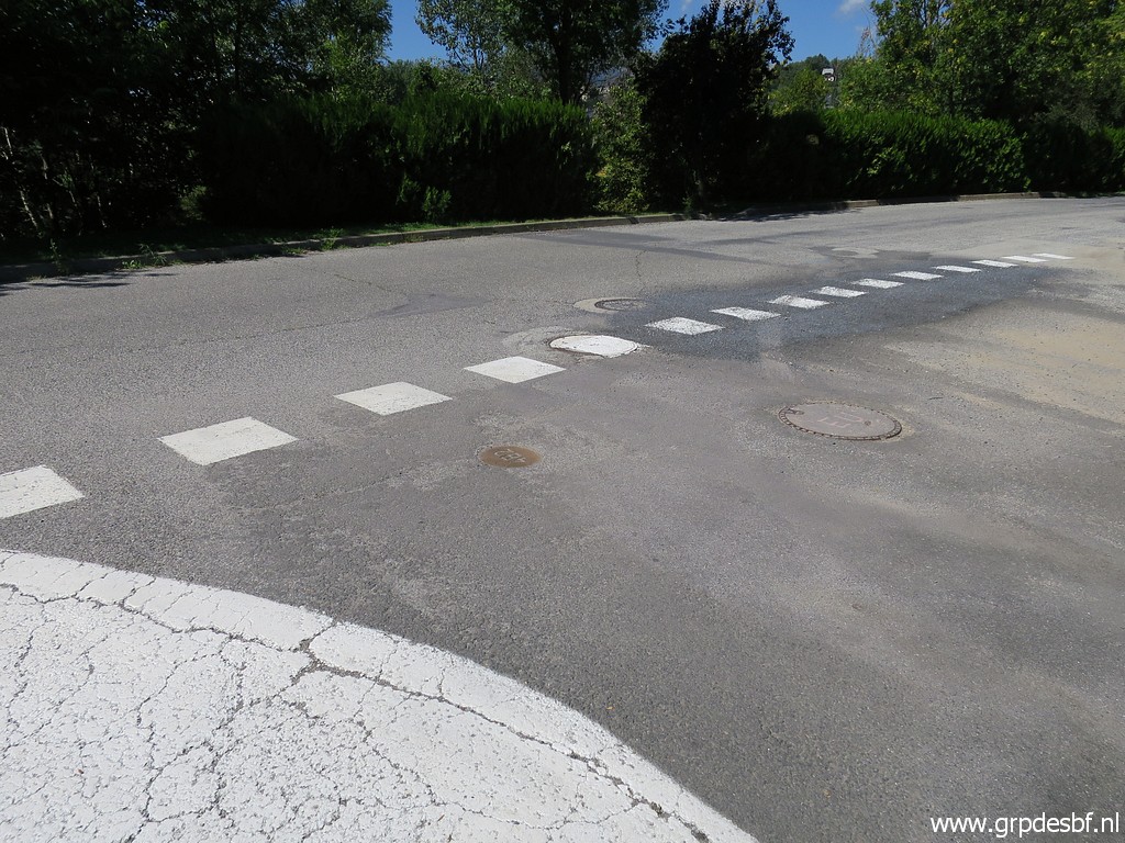
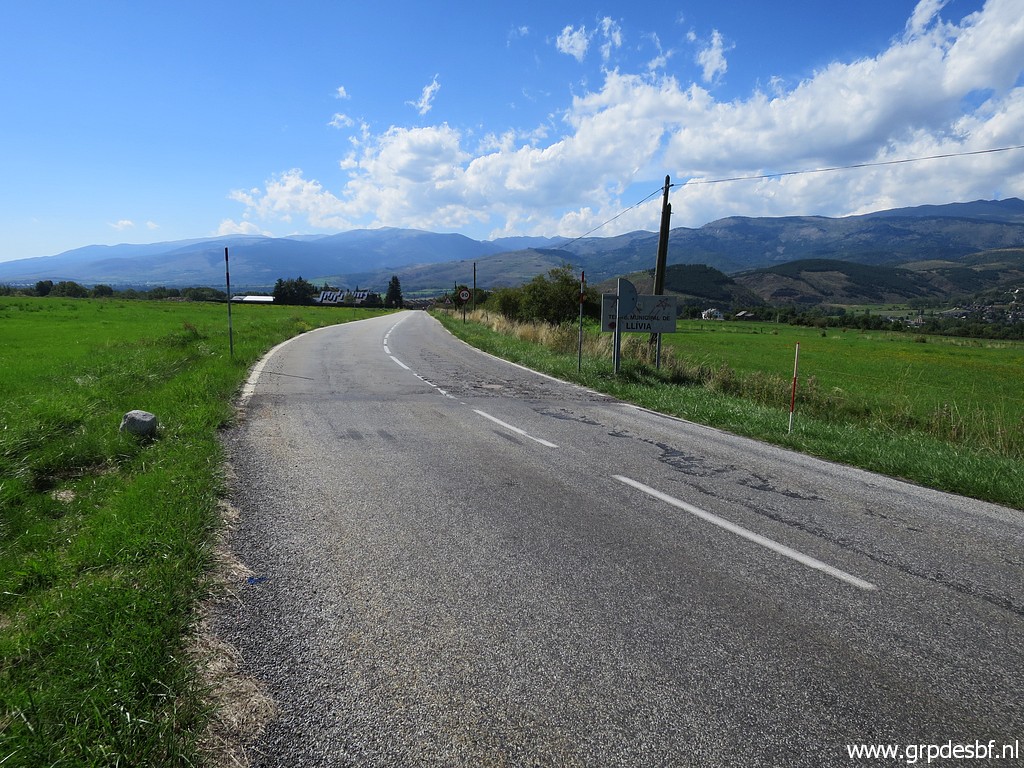
 | LL16 -both markers, looking into Llivia. That is to say: I planted my red-white pole at the other side of the road. That is because also marker 16 was implemented in double markers on either side of the road. (click photo to enlarge) |
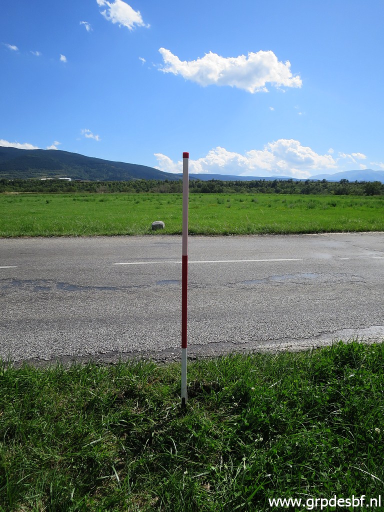 | But LL16north has disappeared, possibly after an enlargement of the road. The red-white pole is planted at the supposed spot of LLnorth. (click photo to enlarge) |
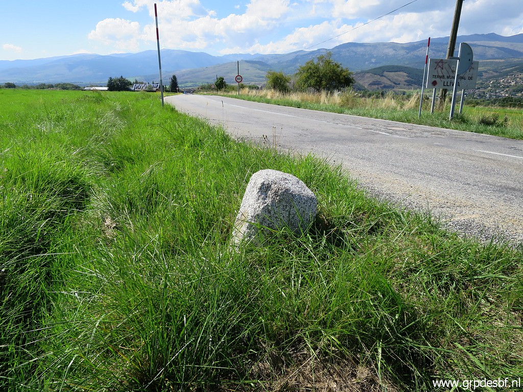
 | LL216-both markers, looking into Llivia. (click photo to enlarge) |
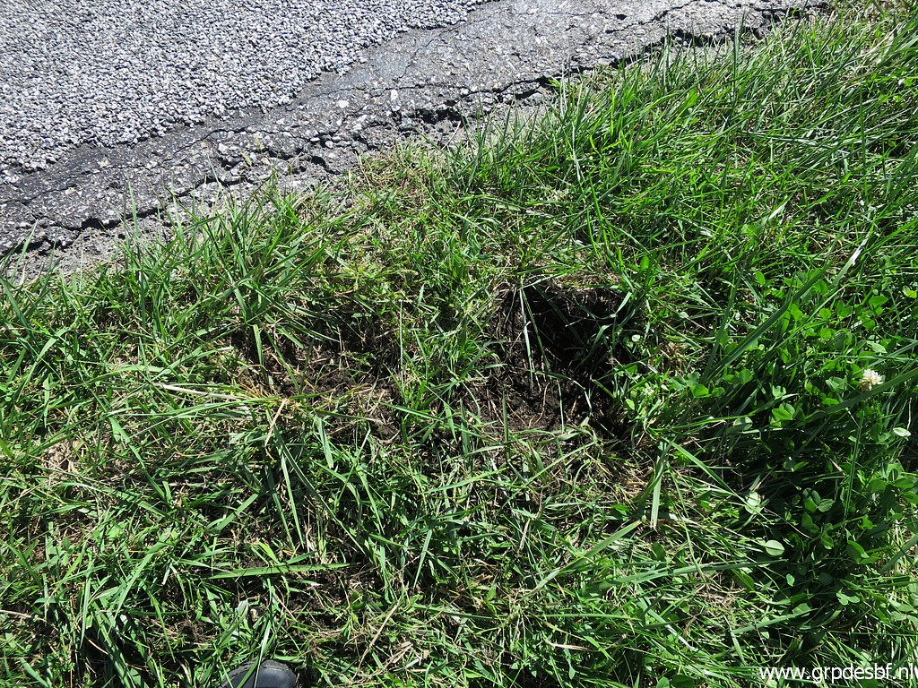 | I did some pricking and digging at the supposed spot of LL16north but with no result. Enough for today. (click photo to enlarge) |
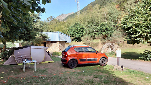
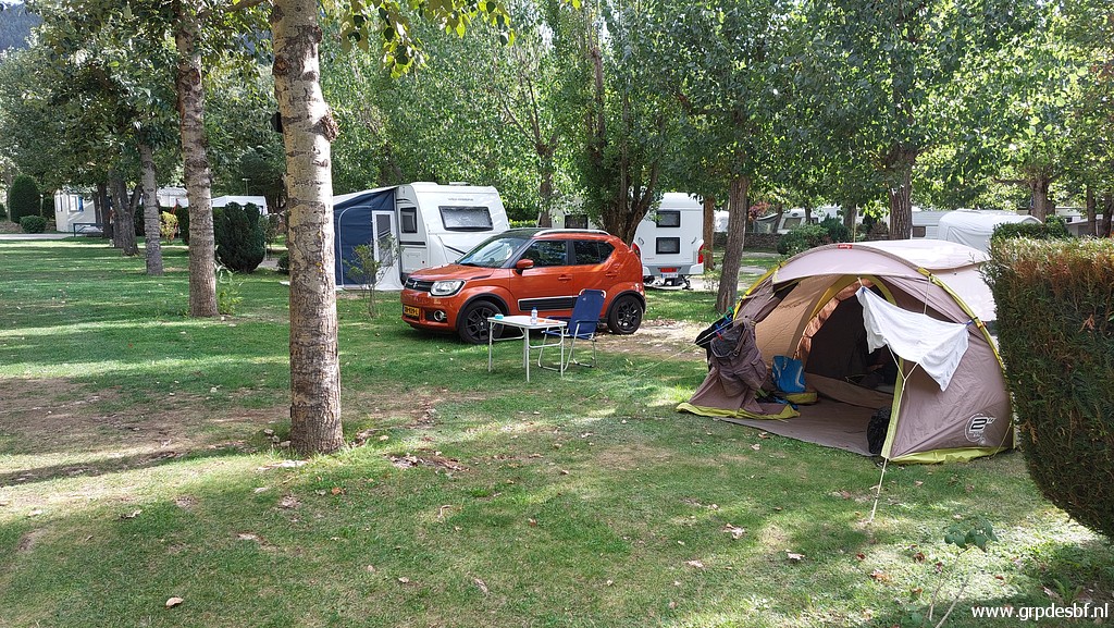 | I pitch my tent at the camping in Err, one of my favourite campings in the Pyrenees. (click photo to enlarge) |