|
The
bordermarkers of the Pyrenees : all my trips
 |
|
| -
tuesday 18 april
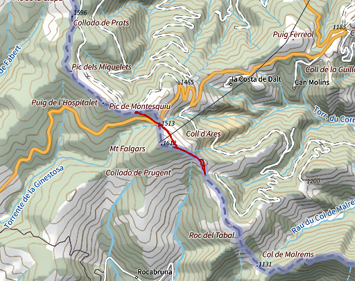
2023 - Revisiting bm518-520 from Col d'Ares |
 |
 |
Summary:
part of a series of 5 daytrips and one 3-days backpacking trip in april
2023. This is day 7. Today: from Col d'Ares re-doing bm518-520 because the last time visited was 10 years or longer ago. Weather: cloudy, some rain Basecamp: camping Maureillas |
 track-20230418.gpx
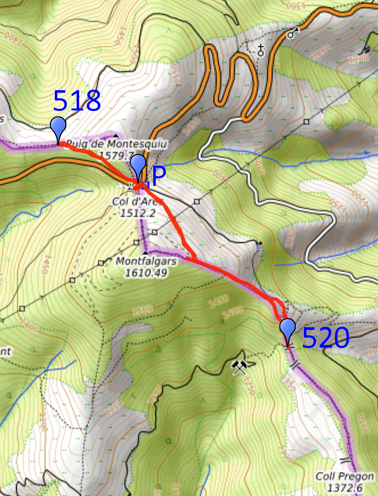
This gpx-track has not been manually corrected which explains the inaccuracy and misalignment at some points. The original elevation recording has been replaced by more accurate DEM-data with Gpsvisualizer.com. For cartographic backgrounds: see the cartography-page Gps-waypoints of all bordermarkers (most recent version): kml: esfr-bordermarkers-all-waypoints.kml gpx: esfr-bordermarkers-all-waypoints.gpx (with reliable elevation data added by gpsvisualizer.com) |
|
 |
According to Garmin
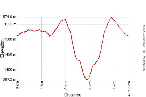
Basecamp (uncorrected track with elevation added by Gpsvisualizer.com): Distance: 4,6 km Max-height: 1575m Min-height: 1367m Elevation: +297m -298m Total elevation: 595m Start 11:22 Finish 13:15 Total time: 1:52 |
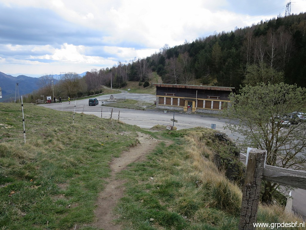
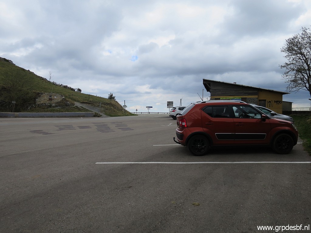 | Starting at Col d'Ares. (click photo to enlarge) |
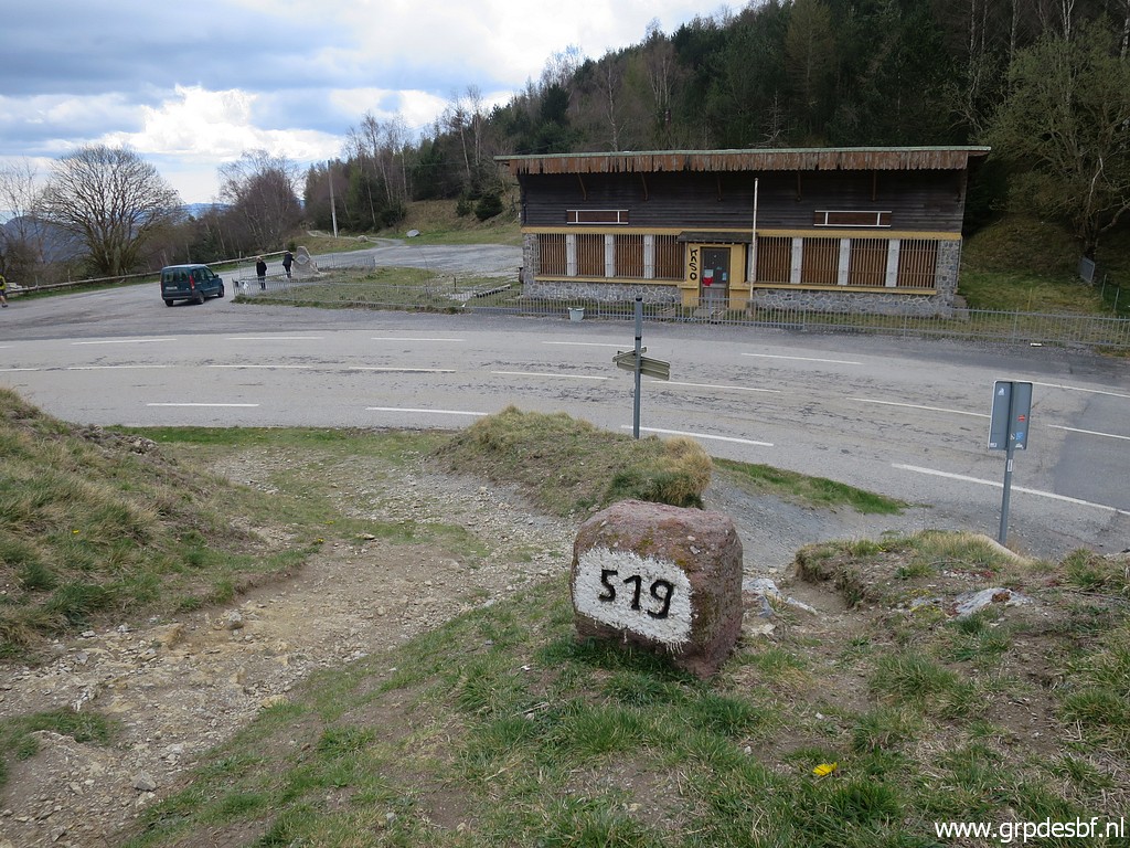
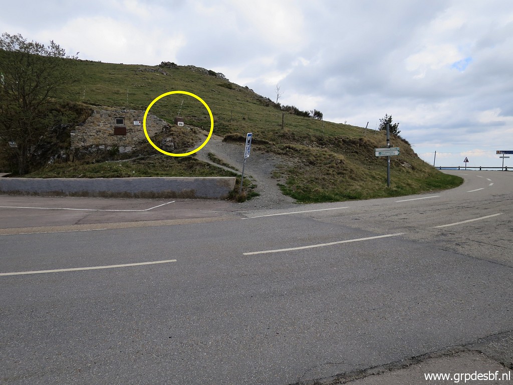 | Bm519 is at the other side of the road. (click photo to enlarge) |
 | Bm519 (click photo to enlarge) |
 | Bm519 (click photo to enlarge) |
 | Bm519 (click photo to enlarge) |
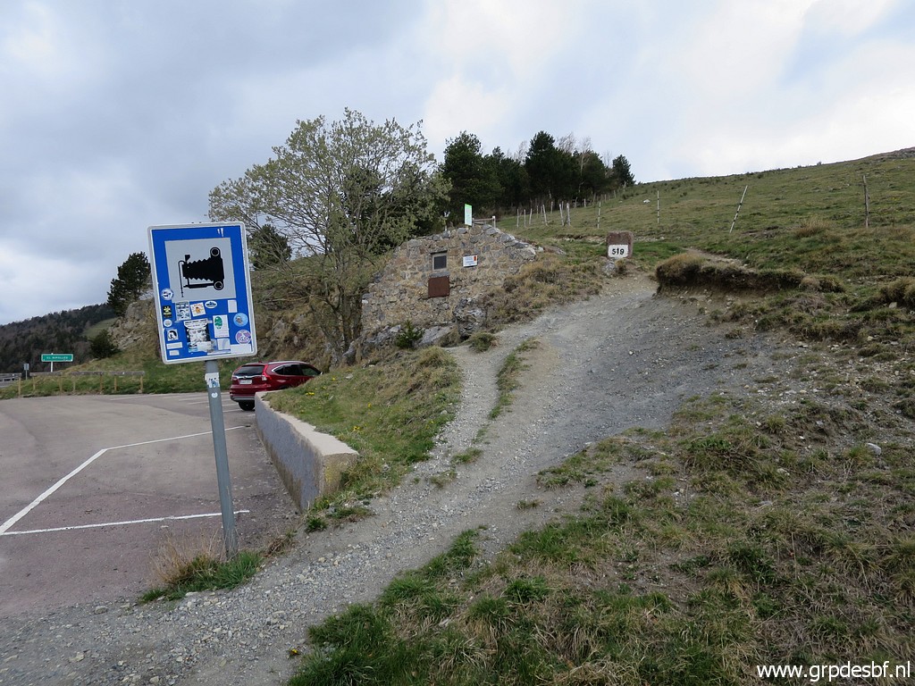
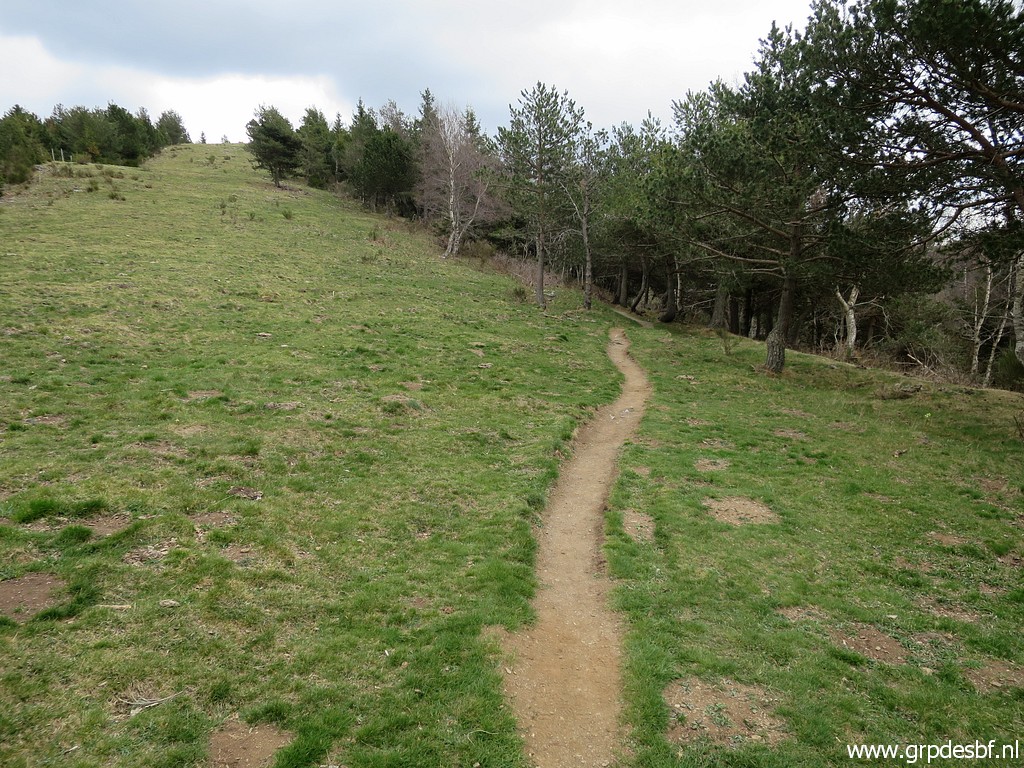
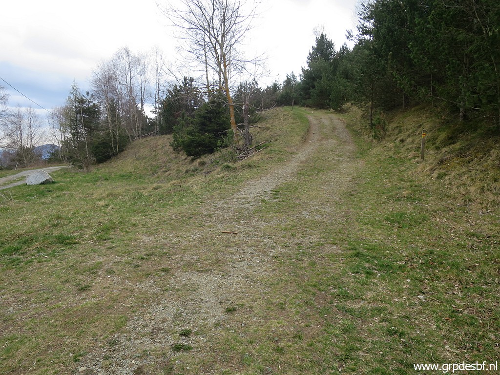
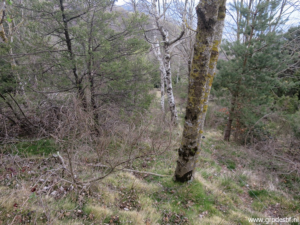
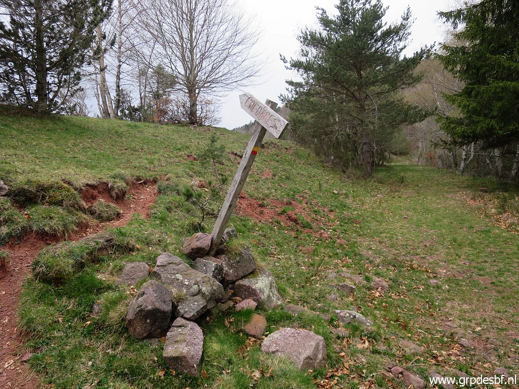
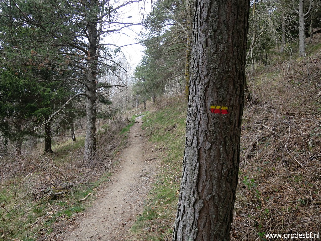 | From there a yellow-red waymarked trail goes W through a forest to (click photo to enlarge) |
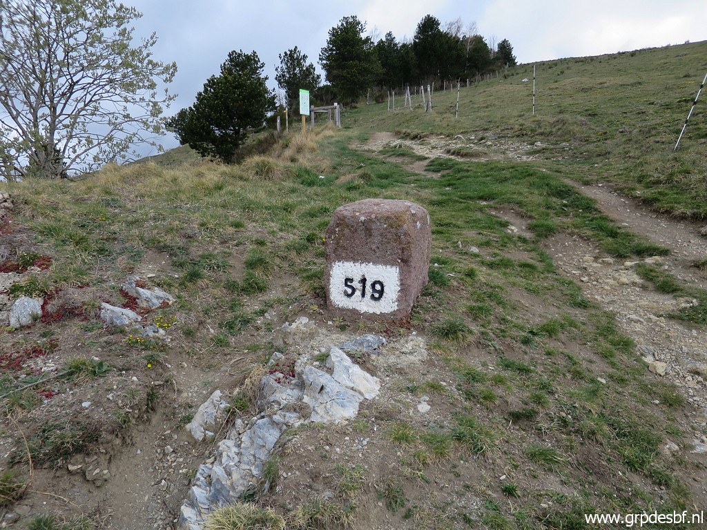
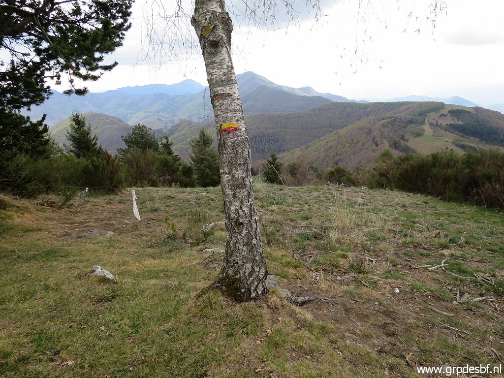
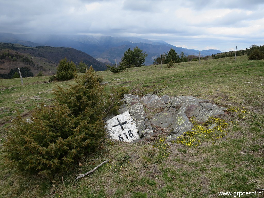 | the open hillridge where bm518 is. (click photo to enlarge) |
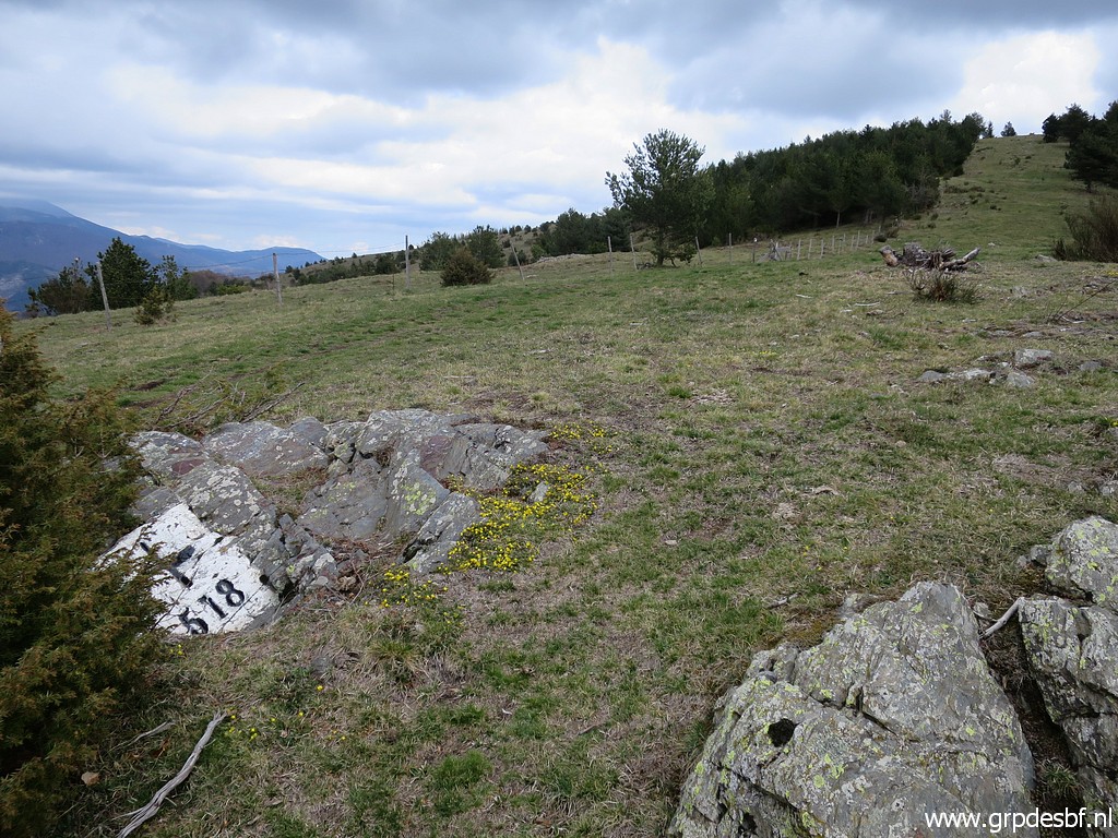 | Bm518 (click photo to enlarge) |
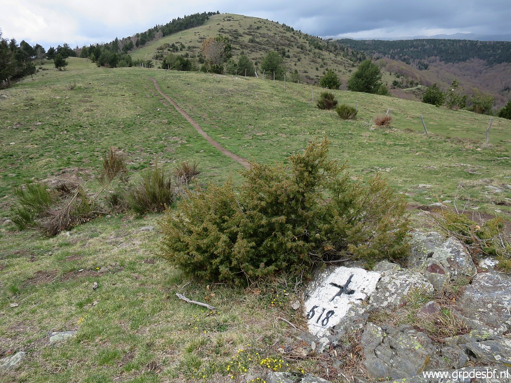 | Bm518 (click photo to enlarge) |
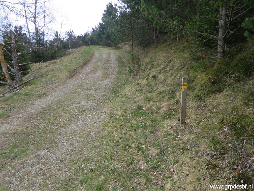
 | Going back, entering the forest (click photo to enlarge) |
 | and returning at Col d'Ares (click photo to enlarge) |
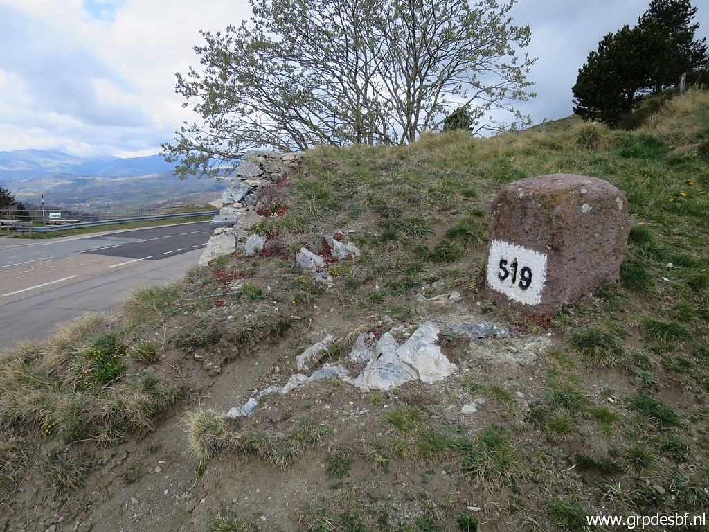
 | with bm519 once again. The building used to be a restaurant, a long time ago. (click photo to enlarge) |
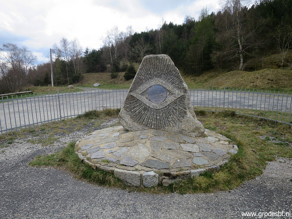 | At the Col a monument remembering (click photo to enlarge) |
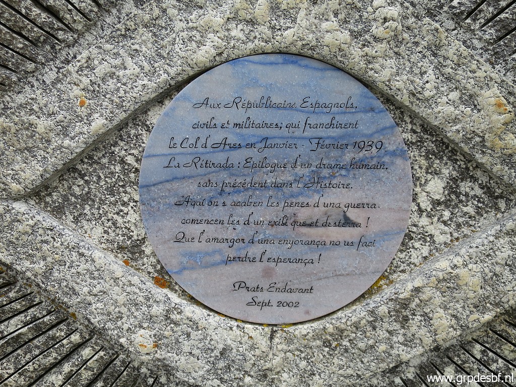 | the refugees who fled Spain after the Civil War in 1939. (click photo to enlarge) |
 | At the other side of the Col taking a mountain road (click photo to enlarge) |
 | which is also on the yellow-red waymarked trail. This the GRP Tour de Vallespir. (click photo to enlarge) The dirtroad bring you (underneath Mont Falgars) to |
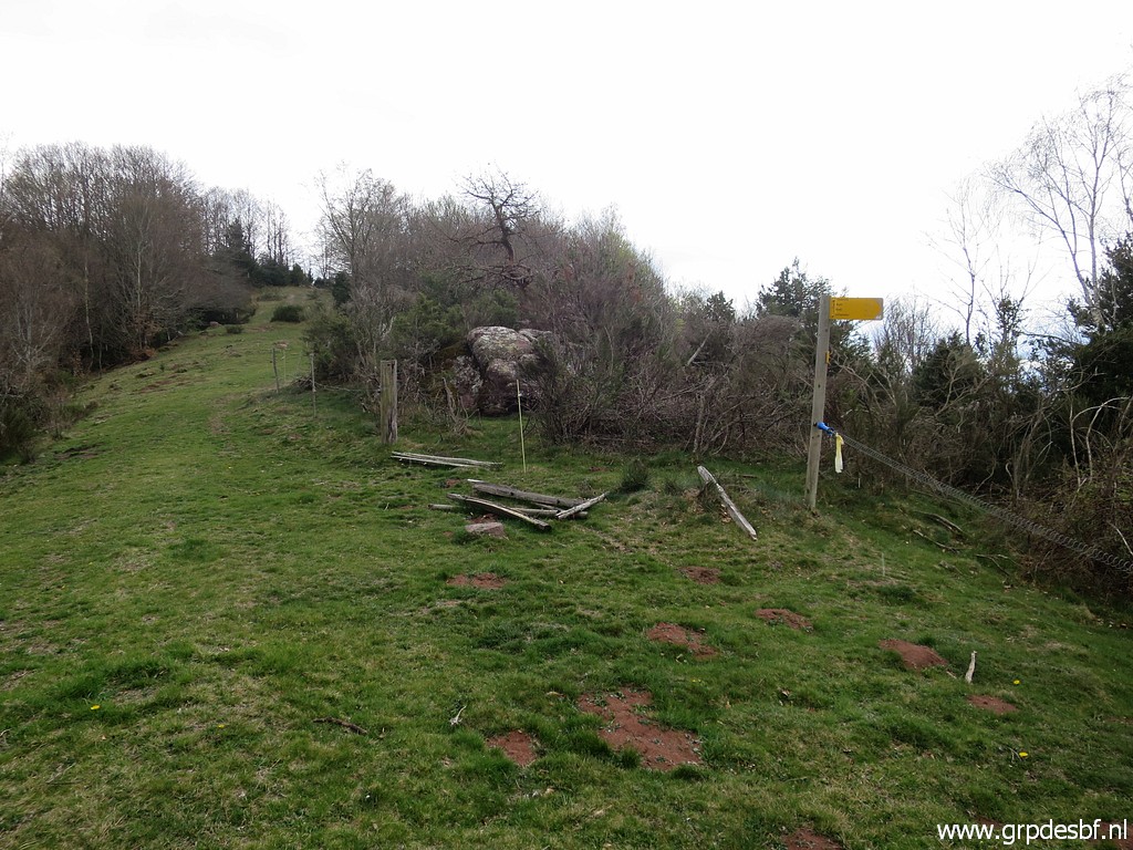
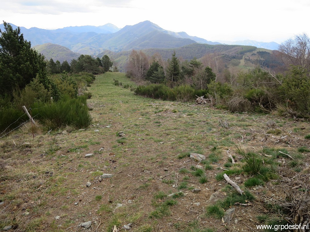 | this hillridge which is the borderline. (click photo to enlarge) |
 | Waymarking is ok but at one point I lose it and (click photo to enlarge) |
 | just descend through the forest along the borderfence (click photo to enlarge) |
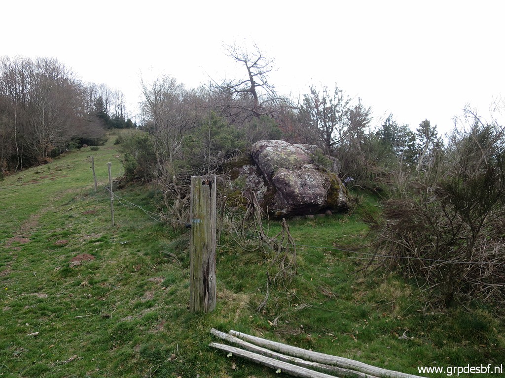
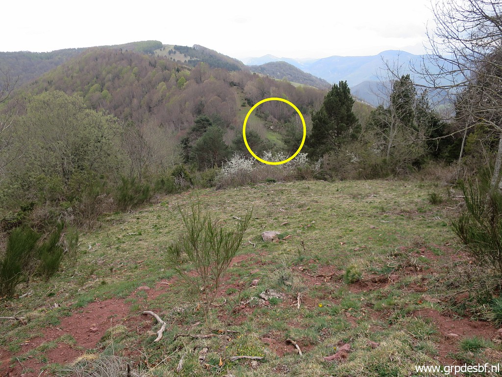
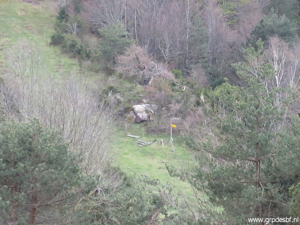
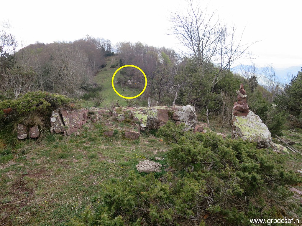 | until I spot in the distance the rock with bm520. (click photo to enlarge) |
 | Getting closer to bm520. (click photo to enlarge) |
 | Bm520 (click photo to enlarge) |
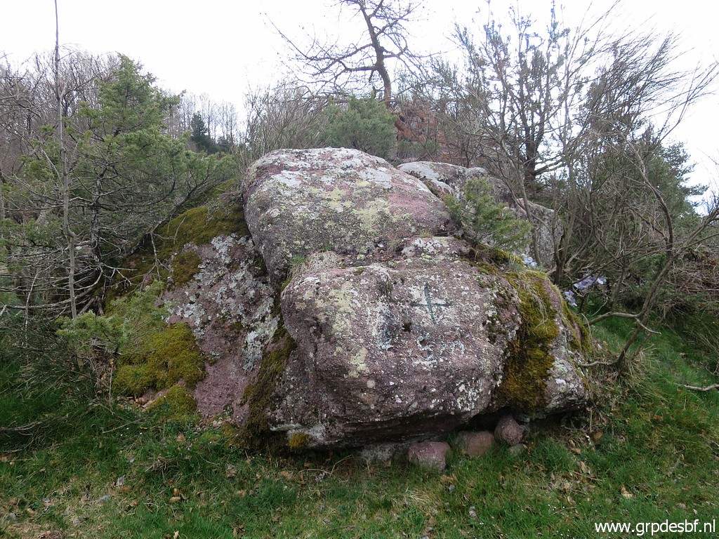 | Bm520 which is not painted. (click photo to enlarge) |
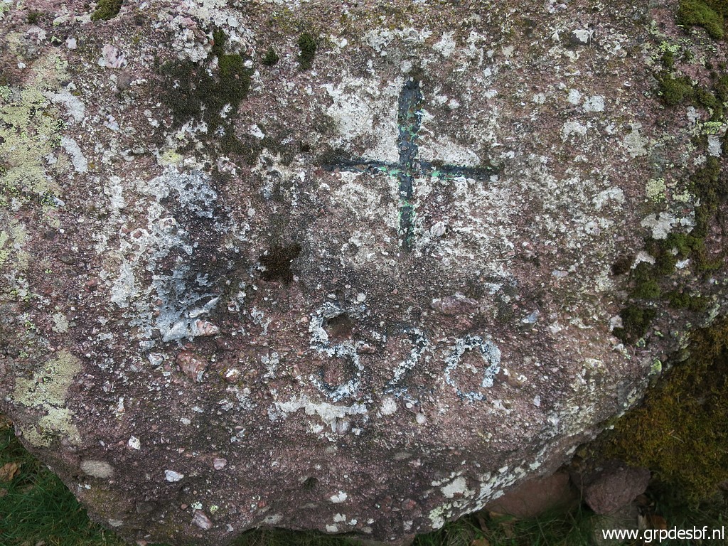 | Bm520 (click photo to enlarge) |
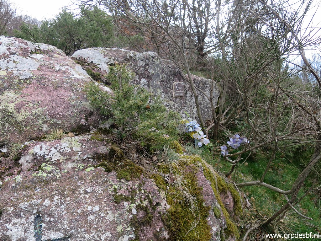 | I see to the right a (click photo to enlarge) |
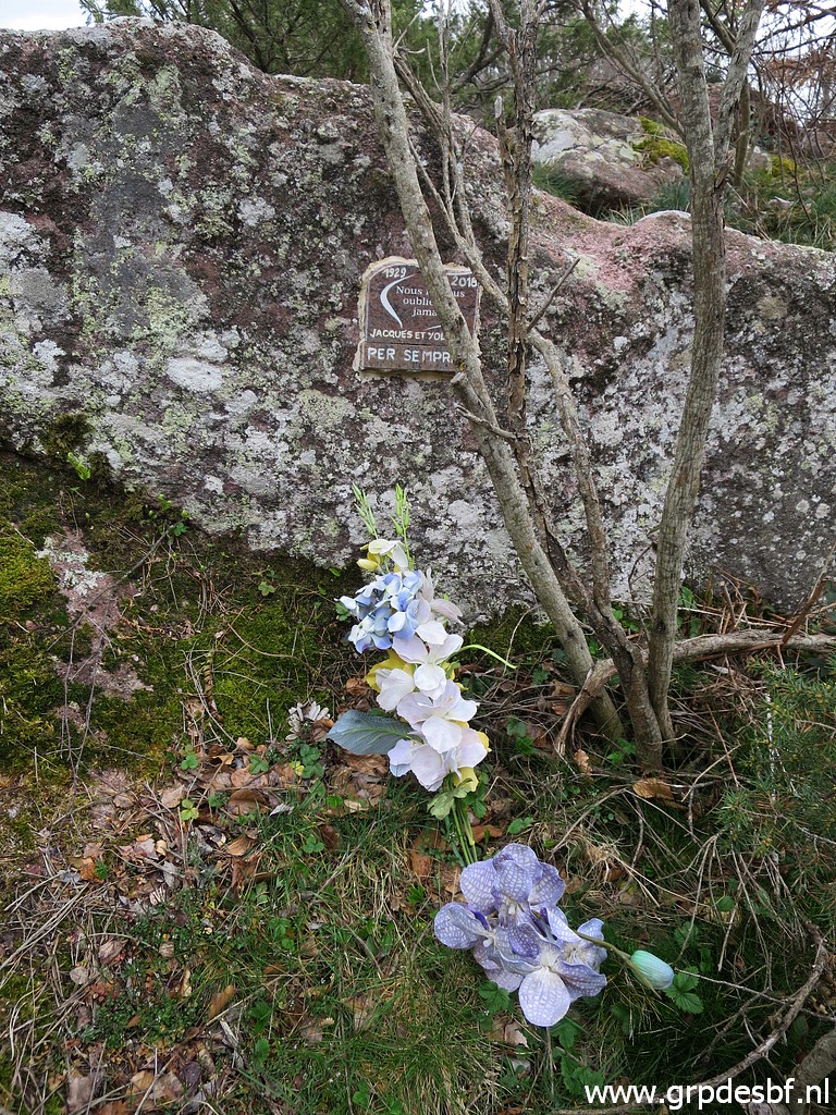 | remembrance plaque (click photo to enlarge) |
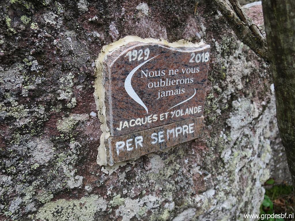 | for Jacques and Yolande. Who were they? (click photo to enlarge) |
 | I return, a view back to (click photo to enlarge) |
 | the rock of bm520, (click photo to enlarge) |
 | Wayfinding back is easier. (click photo to enlarge) |
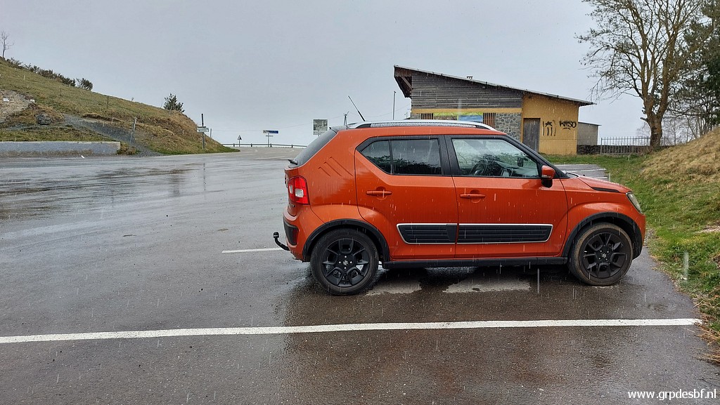 | Back at Col d'Ares in a shower. (click photo to enlarge) |
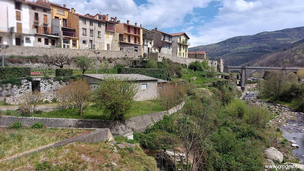 | But downhil in the lovely town of Prats-de-Mollo-la-Preste the sun is shining again. A coffee-break in a cafe and back to the camping. (click photo to enlarge) |