|
The
bordermarkers of the Pyrenees : all my trips
 |
|
| -
wednesday 19 april
2023 - Revisiting bm600-601bis, 574-576 and 567-572 |
 |
 |
Summary:
part of a series of 5 daytrips and one 3-days backpacking trip in april
2023. This is day 8. Today: between Cerbère and Port Bou a short trip to do bm600-601bis and then in Le Perthuis doing the bordermarkers I skipped in my 3-days trekking from bm559 to bm600. Weather: sunny, warm Basecamp: camping Maureillas |
TRIP 1 |
|
 track-20230419-trip1.gpx
This gpx-track has not been manually corrected which explains the inaccuracy and misalignment at some points. The original elevation recording has been replaced by more accurate DEM-data with Gpsvisualizer.com. For cartographic backgrounds: see the cartography-page Gps-waypoints of all bordermarkers (most recent version): kml: esfr-bordermarkers-all-waypoints.kml gpx: esfr-bordermarkers-all-waypoints.gpx (with reliable elevation data added by gpsvisualizer.com) |
|
 |
According to Garmin
Basecamp (uncorrected track with elevation added by Gpsvisualizer.com): Distance: 4,5 km Max-height: 204m Min-height: 40m Elevation: +279m -279m Total elevation: 558m Start 12:00 Finish 13:59 Total time: 1:59 |
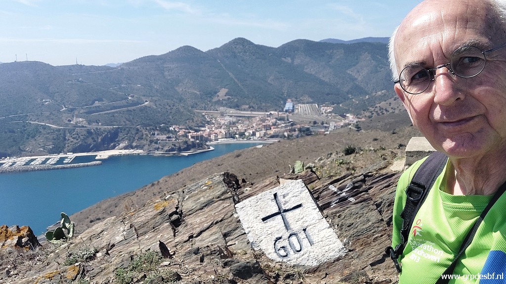
 | Parking at Cap Cerbère. (click photo to enlarge) |
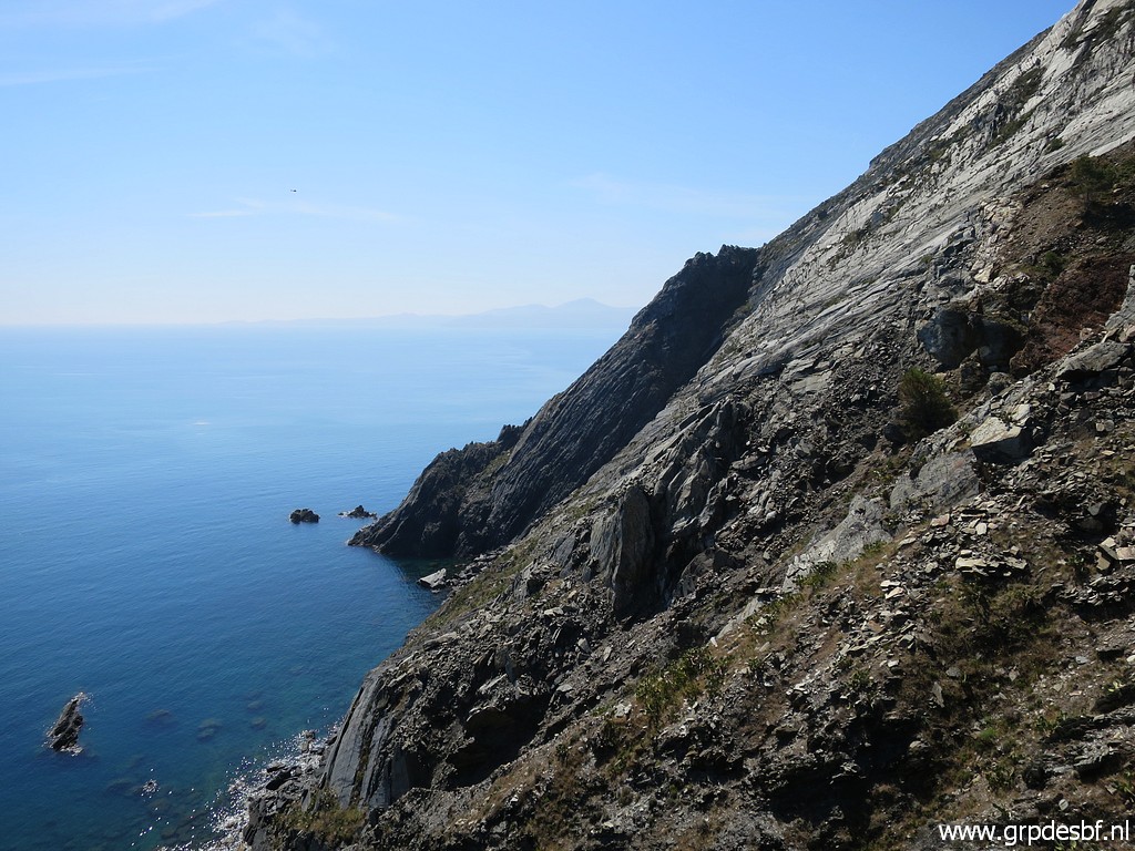
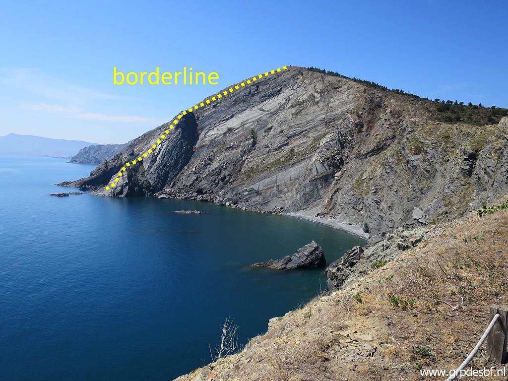 | My first target: along the coast to the top of the rocky cliff where bm601 is. (click photo to enlarge) |
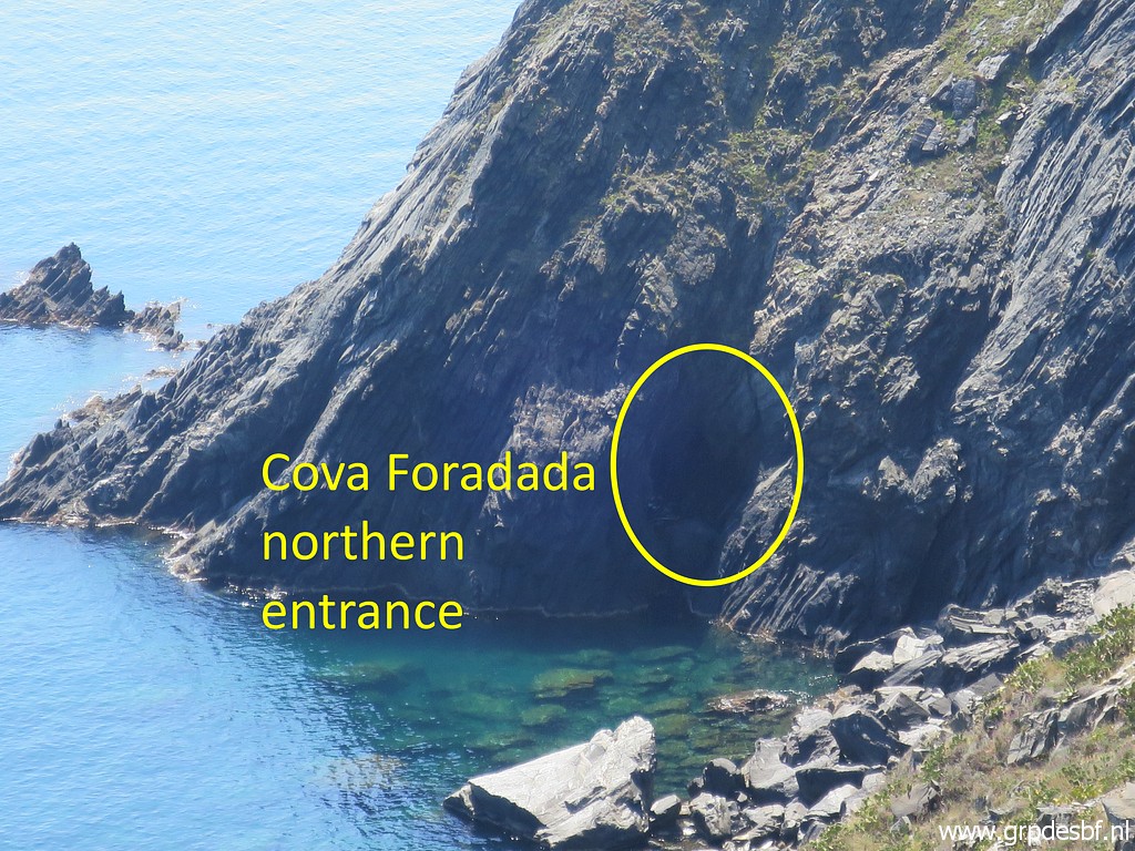
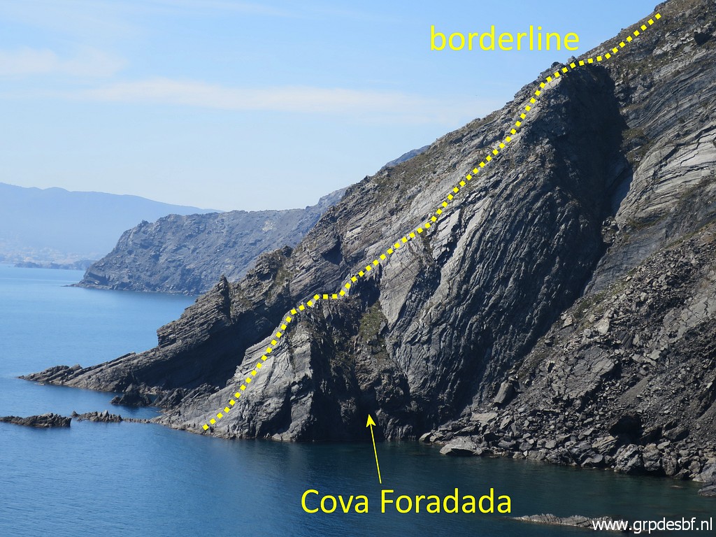 | Zoom-in from previous picture. The Cova Foradada is a cave with two entrances, one at the French side (this side) and one at the Spanish side. Inside there is a plaque with the number 602, the last esfr-bordermarker. My last visit to bm602 (swimming!) was last year on 4-9-2022. (click photo to enlarge) |
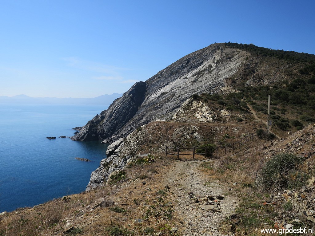 | There is a trail above the cliff (click photo to enlarge) |
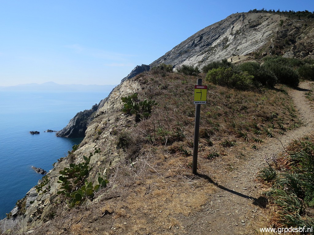 | with warnings for the dangers of descending the cliff. (click photo to enlarge) |
 | Another view towards (click photo to enlarge) |
 | Cova Foradada. (click photo to enlarge) |
 | Arriving at the top where (click photo to enlarge) |
 | bm601 is. (click photo to enlarge) |
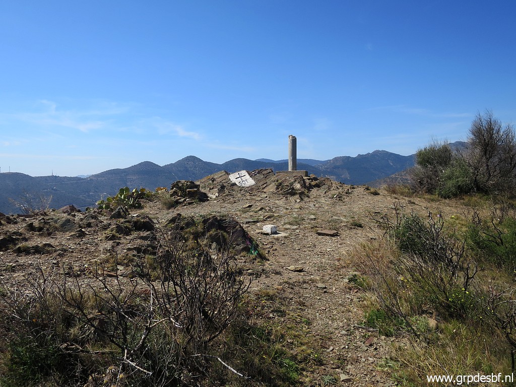
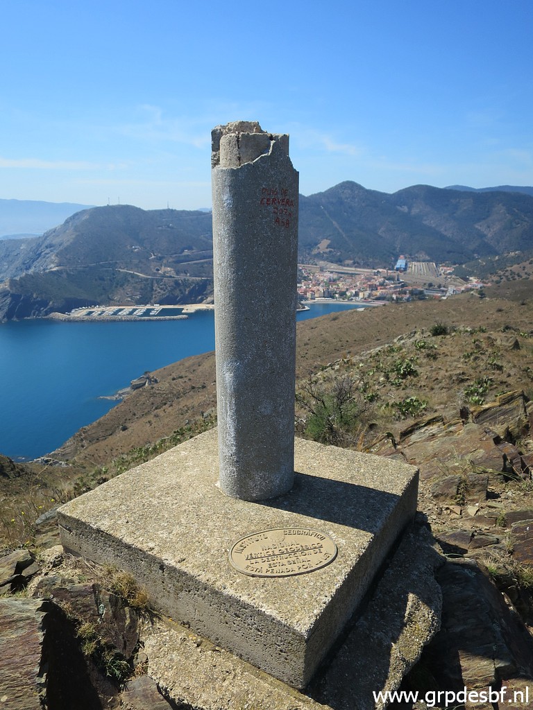 | Besides is a geodetic pillar (click photo to enlarge) |
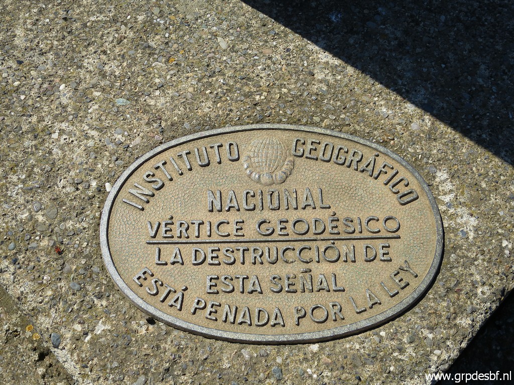 | of the Instituto Geográfica. (click photo to enlarge) |
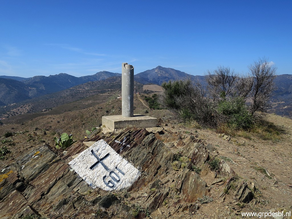
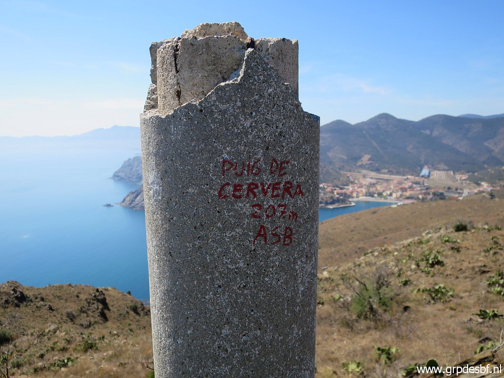 | Apparently this hilltop is called Puig de Cervera. (click photo to enlarge) |
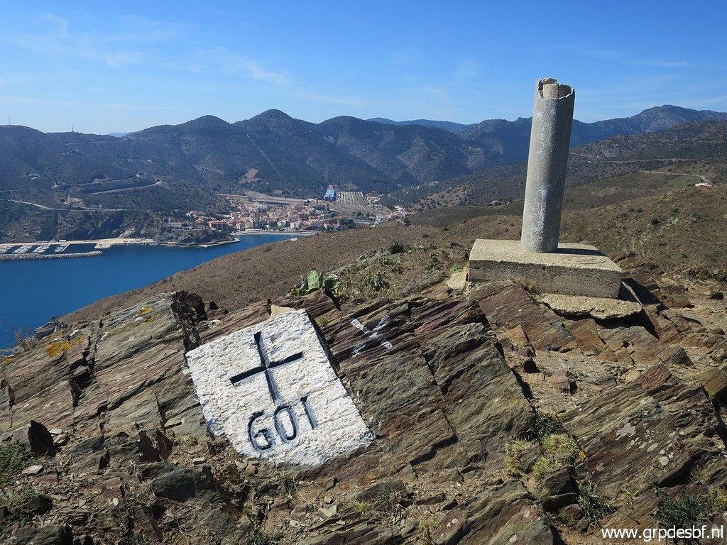
 | Bm601 (click photo to enlarge) |
 | A view to the E (click photo to enlarge) |
 | And a view of myself. (click photo to enlarge) |
 | Along this building towards (click photo to enlarge) |
 | bm601bis. (click photo to enlarge) |
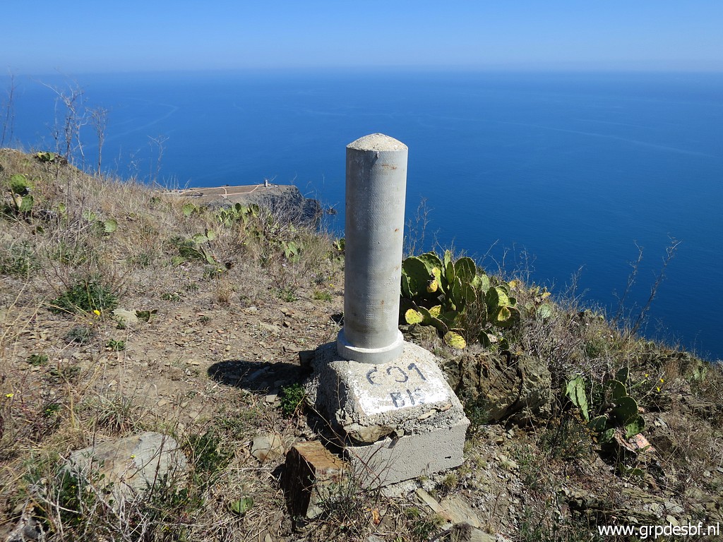 | Bm601bis (click photo to enlarge)Bm601bis |
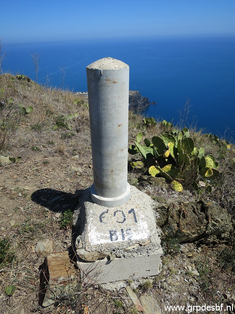 | Bm601bis (click photo to enlarge) |
 | Bm601bis (click photo to enlarge) |
 | Then E along the ridge towards Col de Balistres. (click photo to enlarge) |
 | Getting close to the Col. (click photo to enlarge) |
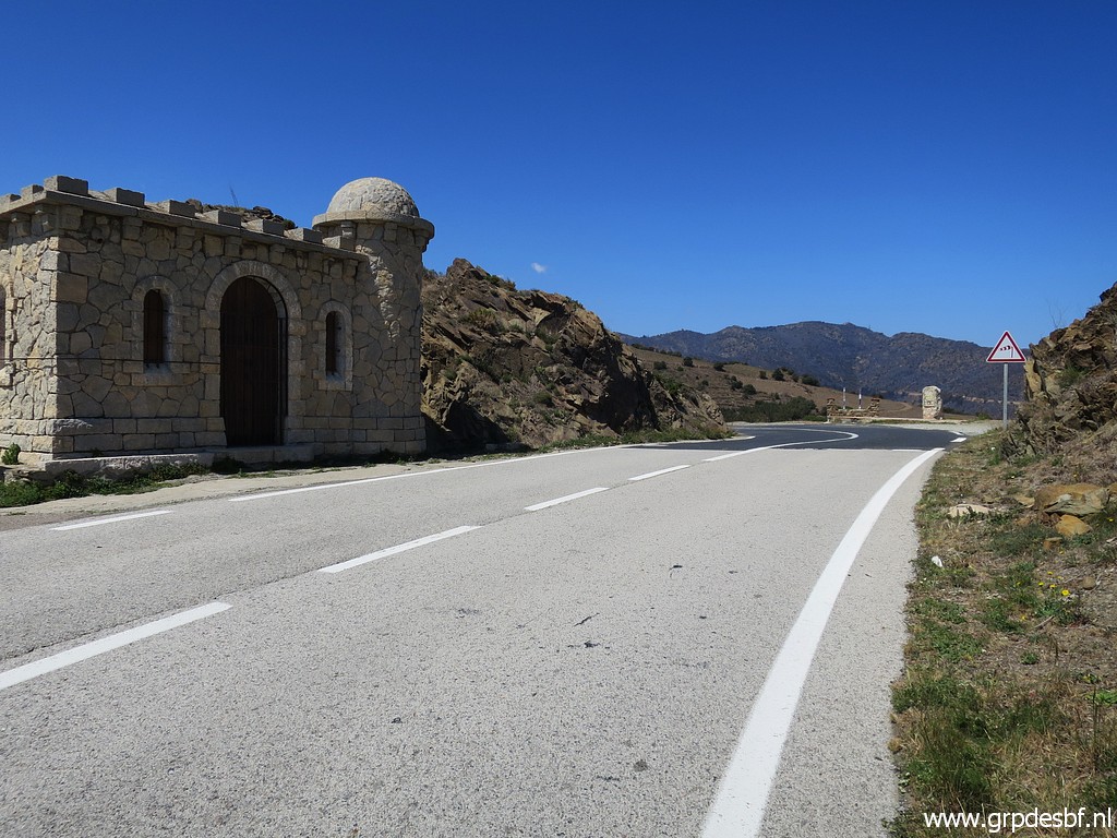
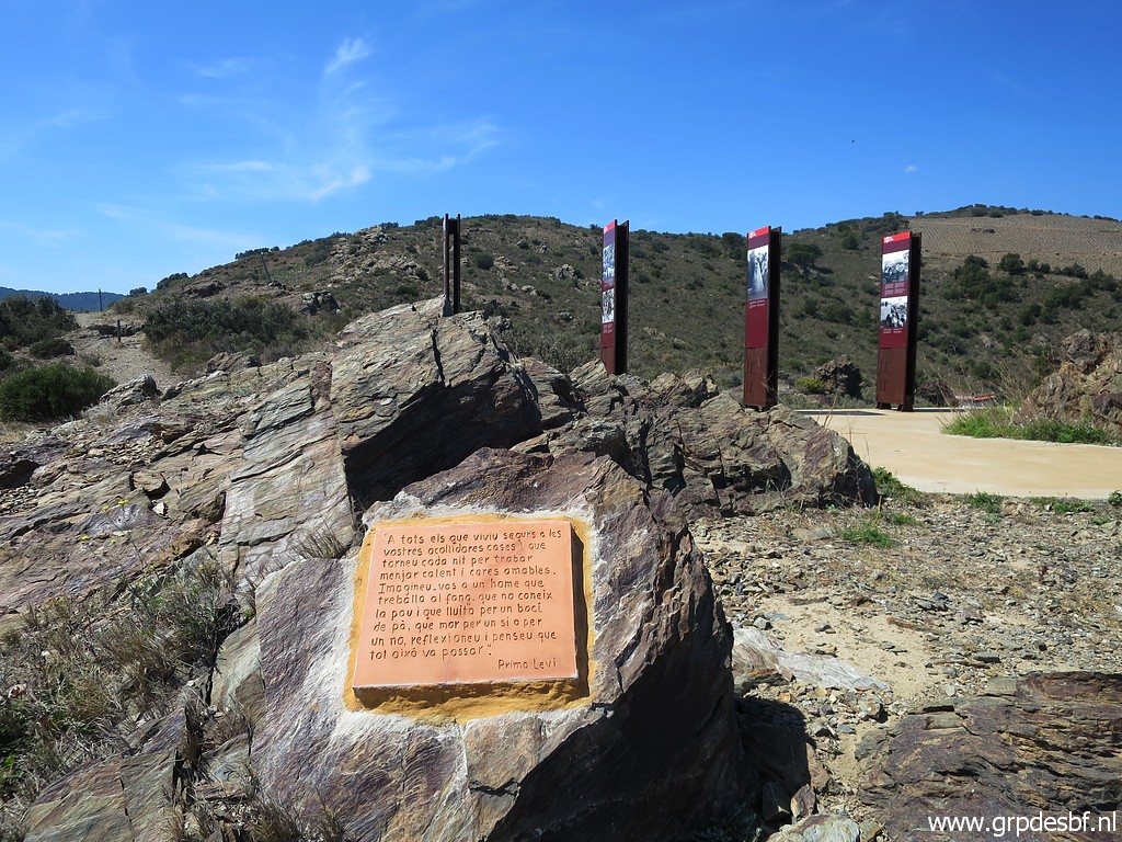 | Having arrived at Col des Balistres with its monument on the refugees who entered France after the Civil War in 1939. (click photo to enlarge) |
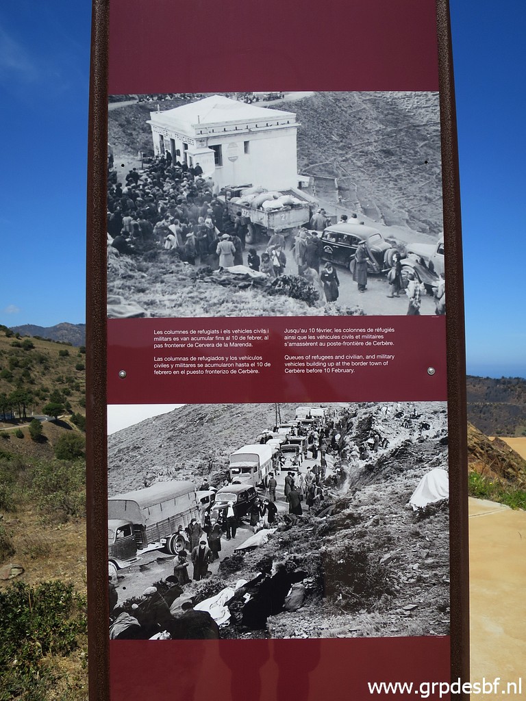 | Pictures of the crowds on the Col. (click photo to enlarge) |
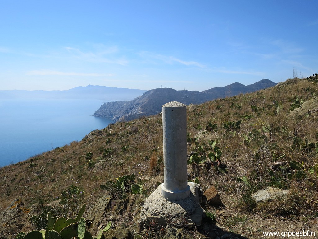
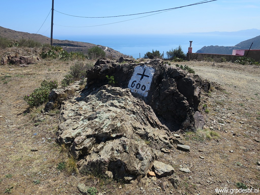 | Bm600 is nearby. (click photo to enlarge) |
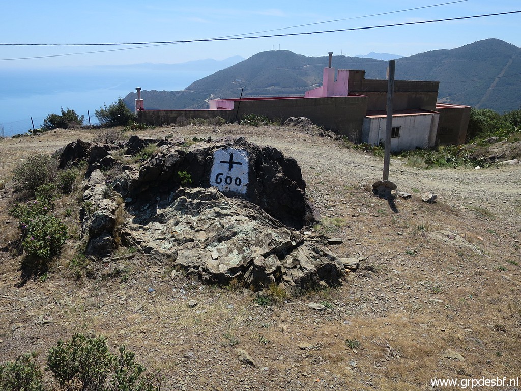 | Bm600 (click photo to enlarge) |
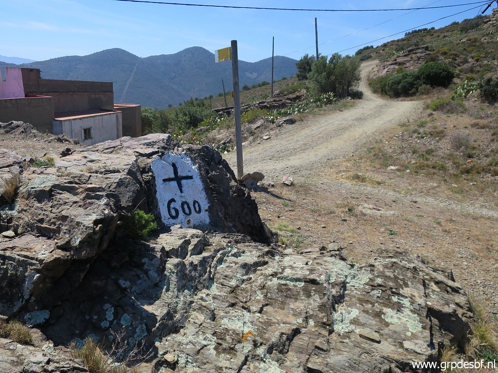 | Bm600 (click photo to enlarge) |
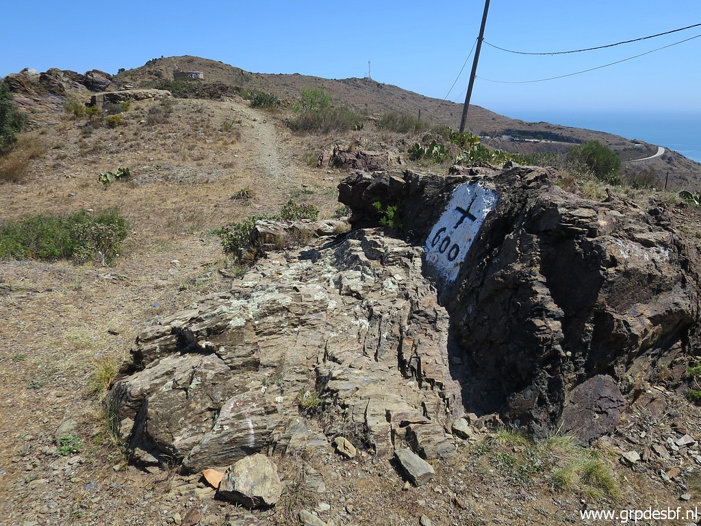 | Bm600 (click photo to enlarge) |
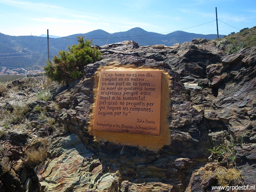 | This text says: "No man is an island, complete in himself ... he is a part of the earth ... the death of any man weakens me because I am bound to humanity. So don't ask for whom the bells toll, they toll for you" John Donne Tribute to the International Brigades 2016 (click photo to enlarge) |
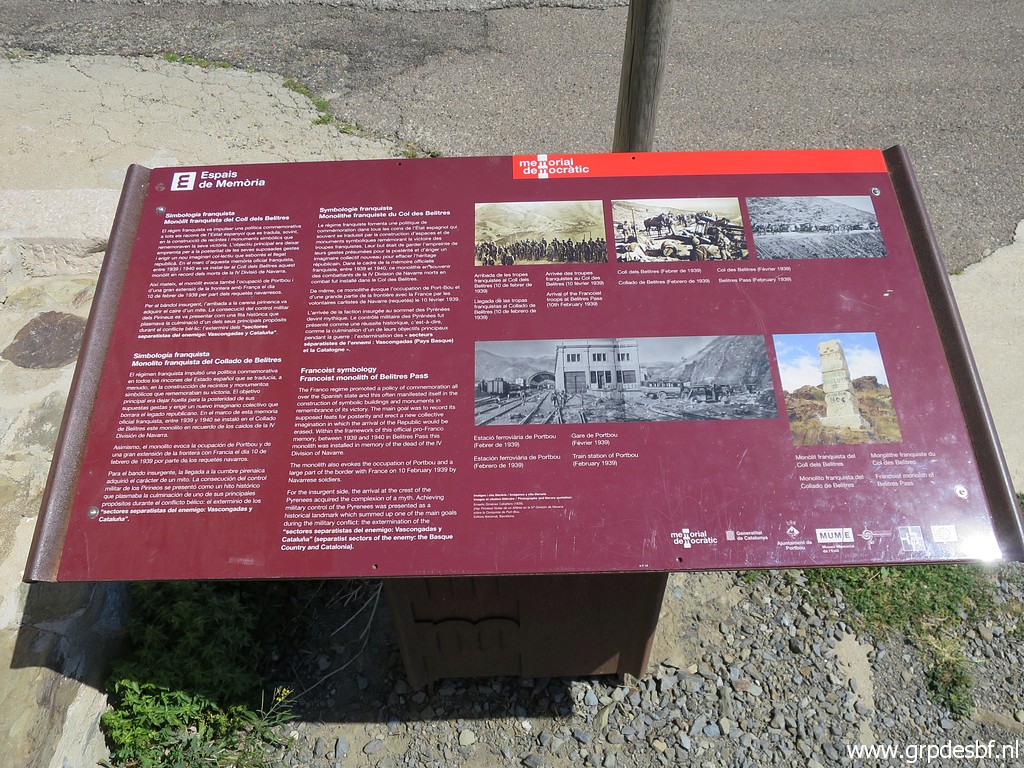 | Another information panel (click photo to enlarge) |
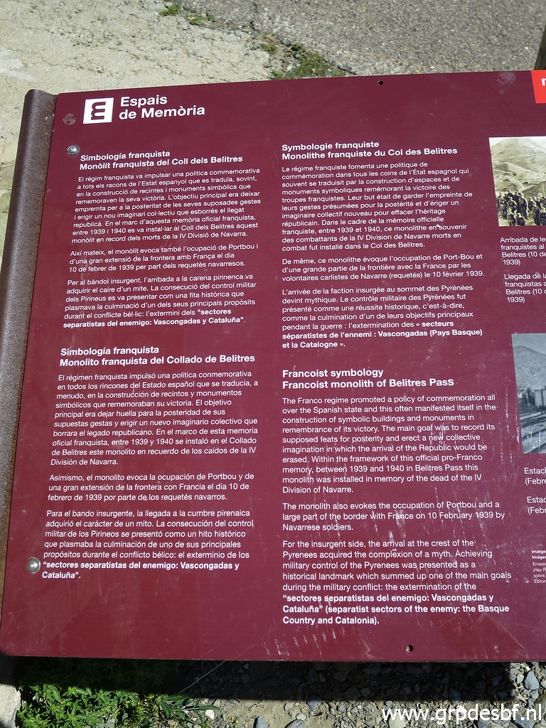 | tells us about the (click photo to enlarge) |
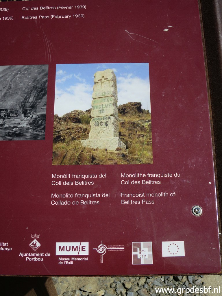 | 'Francoist Monolith of Belitres Pass' (click photo to enlarge) |
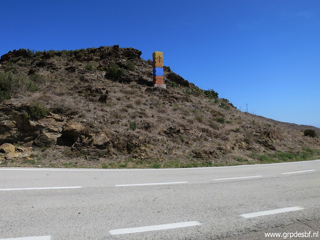 | and that monolith (click photo to enlarge) |
 | is still in good shape. (click photo to enlarge) |
 | I have a closer look at the actual bordercrossing on the road. (click photo to enlarge) |
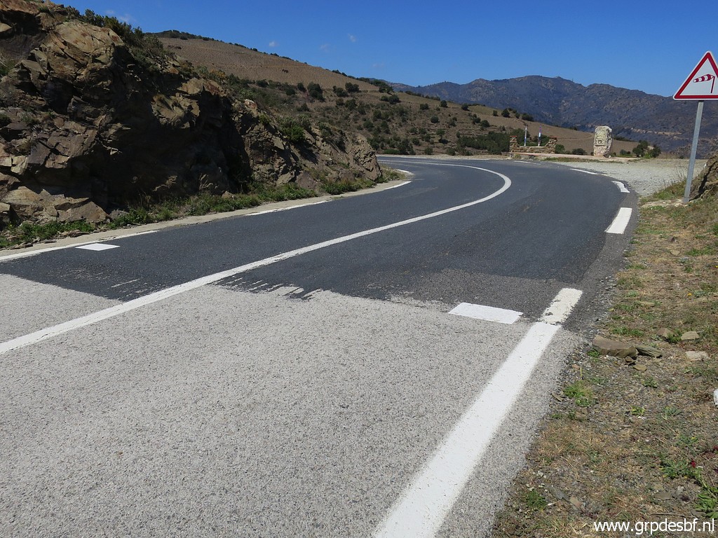 | Spanish tarmac is bumping with the French tarmac. (click photo to enlarge) |
 | I supposse that is also the true borderline. (click photo to enlarge) |
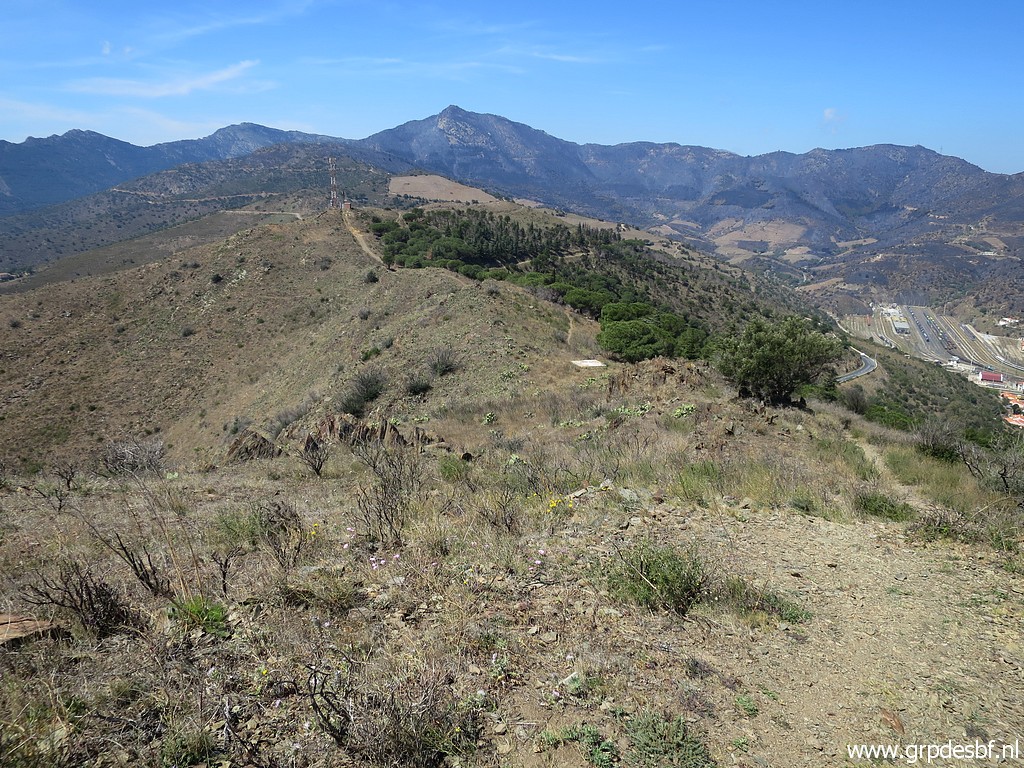
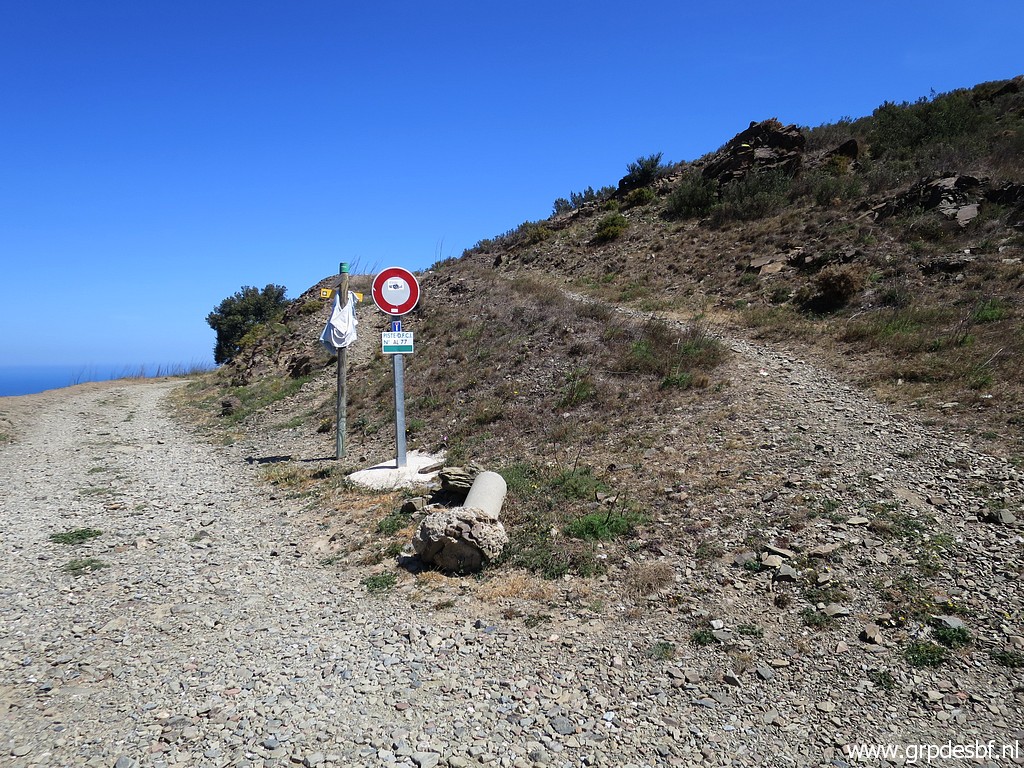 | I return, now more closely following the hillridge and that trail (click photo to enlarge) |
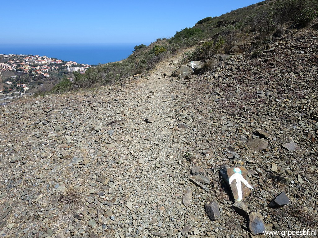 | is white waymarked (click photo to enlarge) |
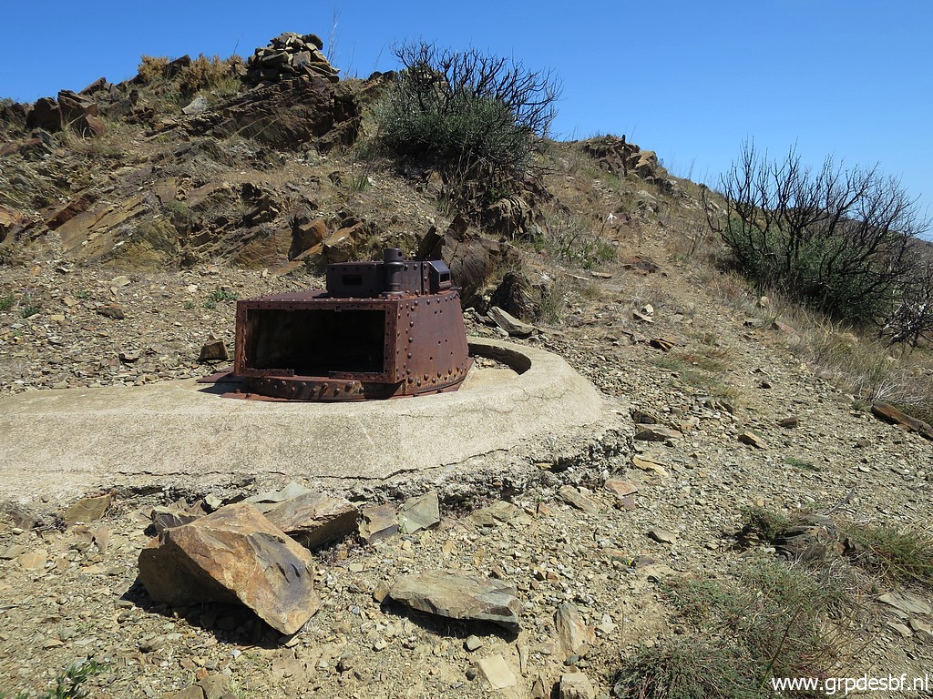 | and passes an old military canon-installation. (click photo to enlarge) |
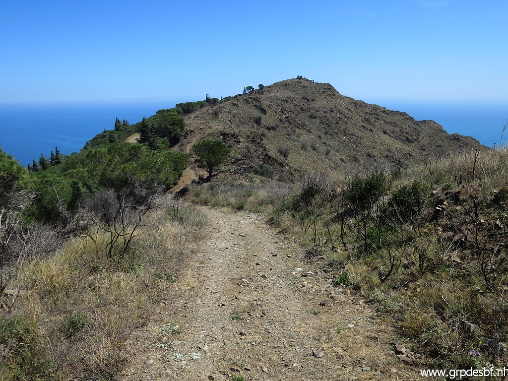 | Descendig a bit, in the far end the hilltop with bm601. (click photo to enlarge) |
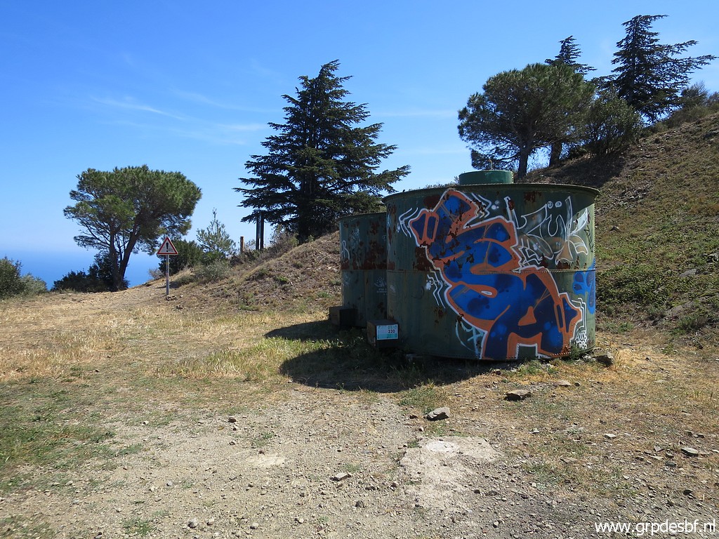 | I now descend directly - via this watercontainer - to (click photo to enlarge) |
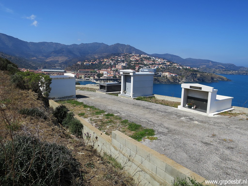 | the cemetary and my car. (click photo to enlarge) |
|
TRIP 2 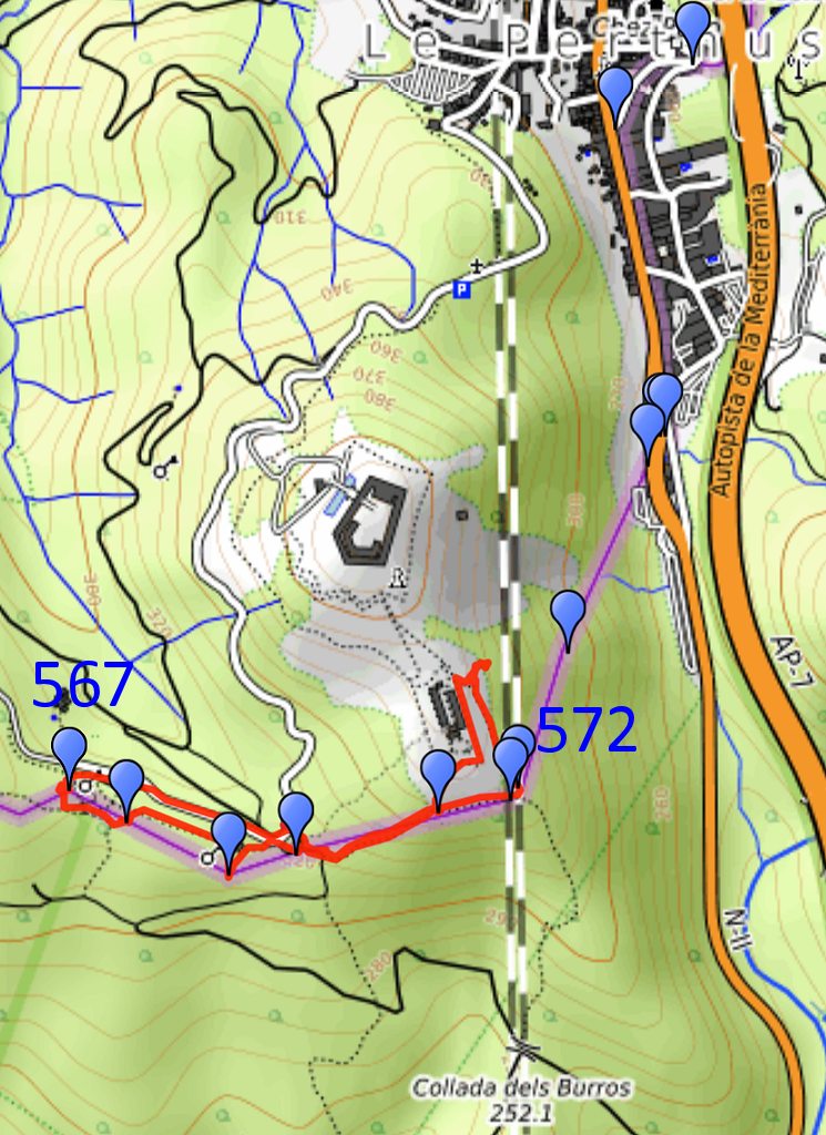 track-20230419-trip2.gpx (NB: I did first a walk in Le Perthuis downtown, not recorded with gps) This gpx-track has not been manually corrected which explains the inaccuracy and misalignment at some points. The original elevation recording has been replaced by more accurate DEM-data with Gpsvisualizer.com. For cartographic backgrounds: see the cartography-page Gps-waypoints of all bordermarkers (most recent version): kml: esfr-bordermarkers-all-waypoints.kml gpx: esfr-bordermarkers-all-waypoints.gpx (with reliable elevation data added by gpsvisualizer.com) |
|
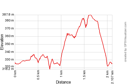 |
According to Garmin
Basecamp (uncorrected track with elevation added by Gpsvisualizer.com): Distance: 2,1 km Max-height: 388m Min-height: 318m Elevation: +112m -113m Total elevation: 225m Start 16:22 Finish 17:27 Total time: 1:04 |
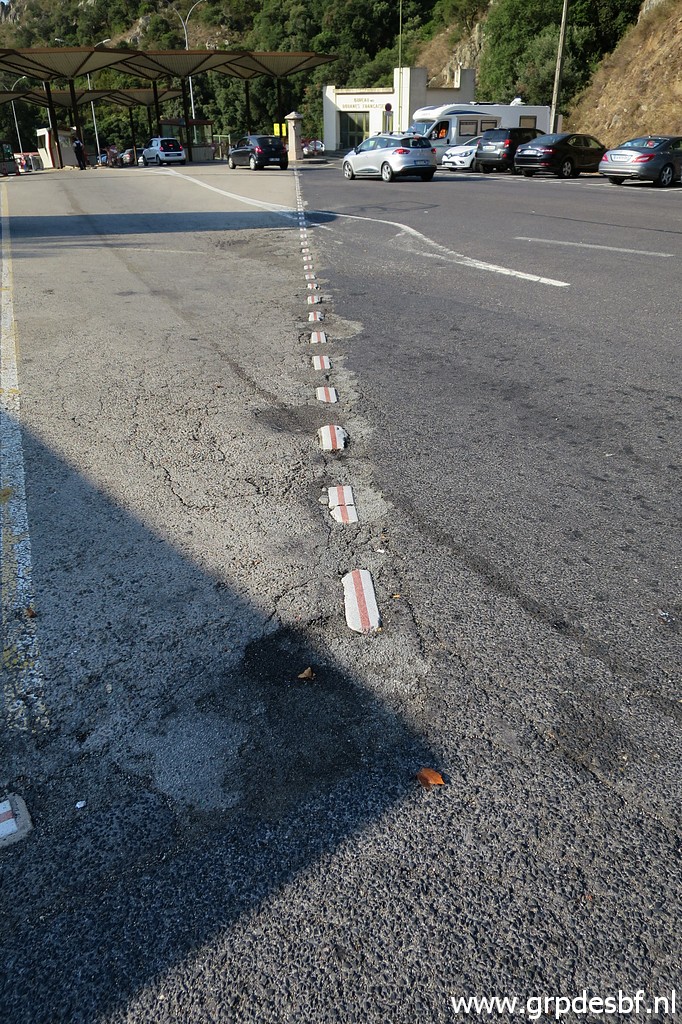
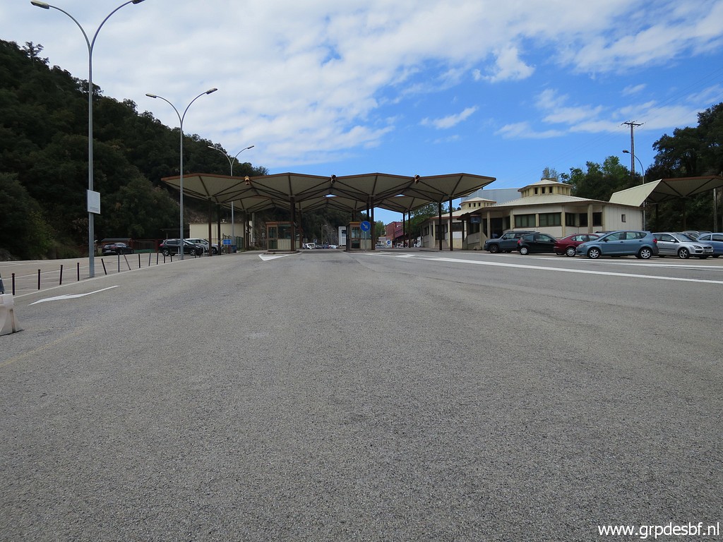 | In Le Perthus, I park just south of the bordercrossing on a huge parking. (click photo to enlarge) |
 | Bm574 (click photo to enlarge) |
 | Bm574 (click photo to enlarge) |
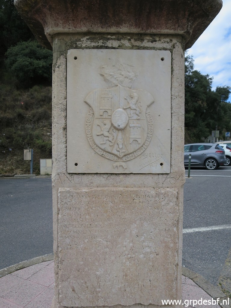
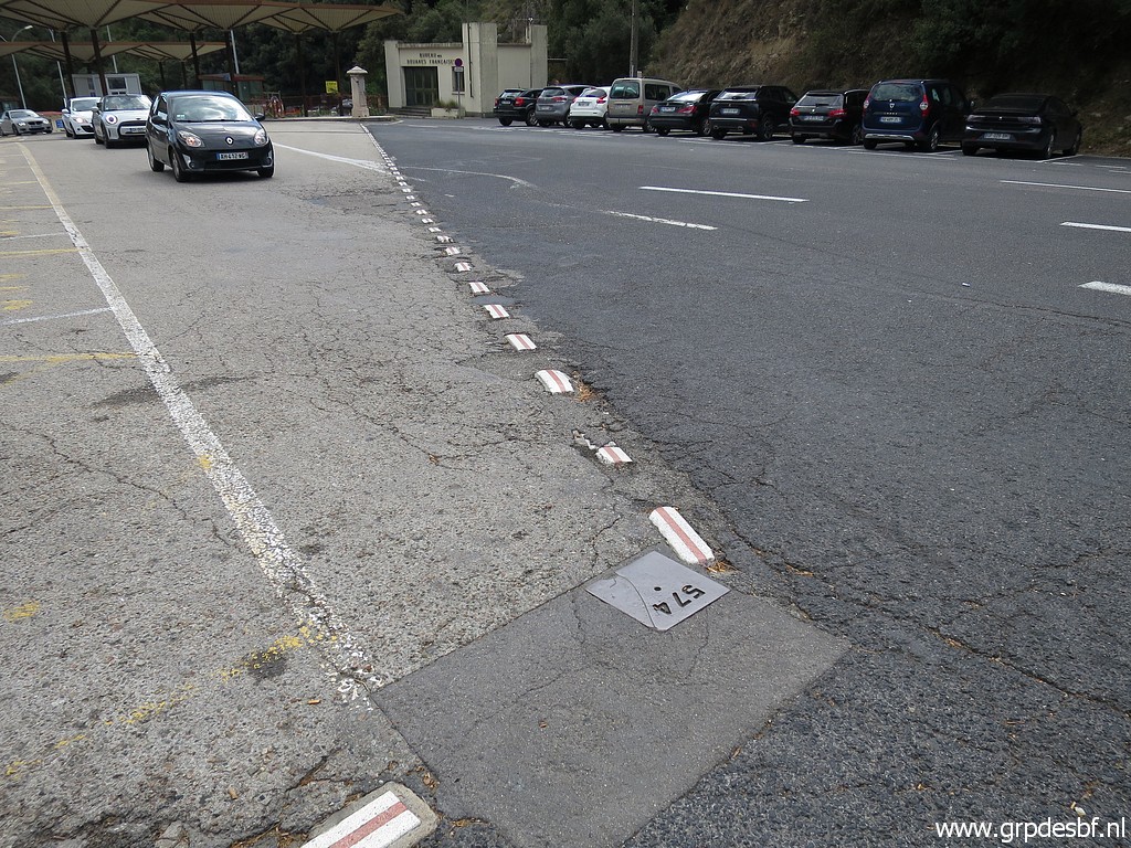
 | I cross the road to bm575. (click photo to enlarge) |
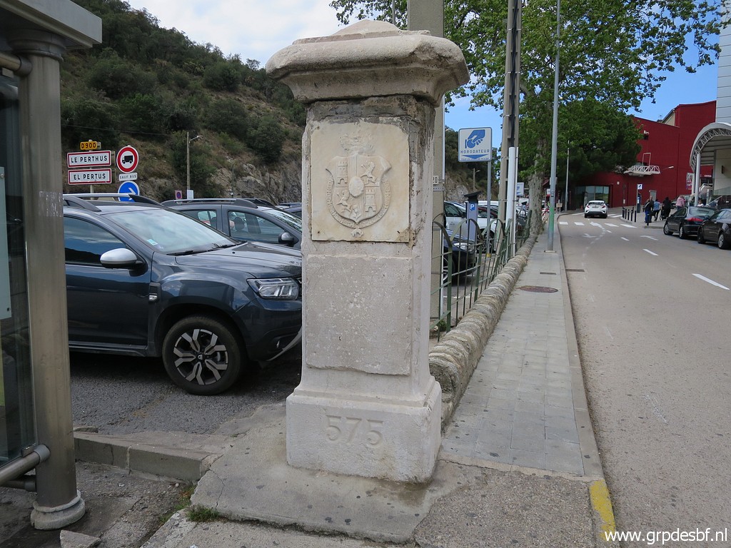 | Bm575 (click photo to enlarge) |
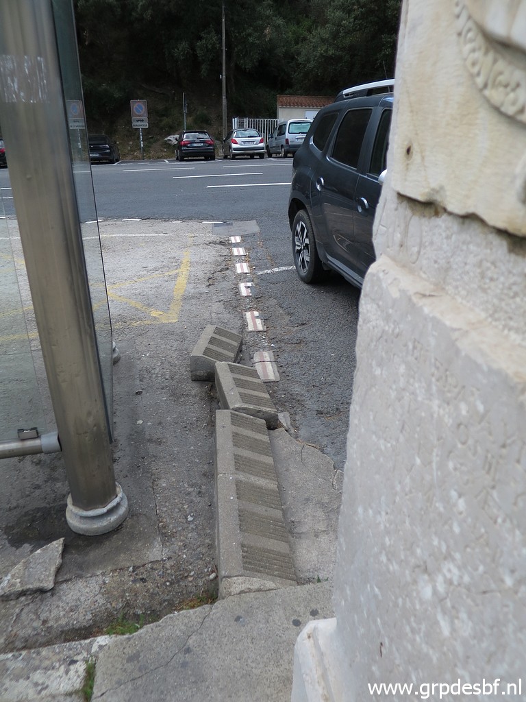 | From bm575 the borderline is indicated in the tarmac and (click photo to enlarge) |
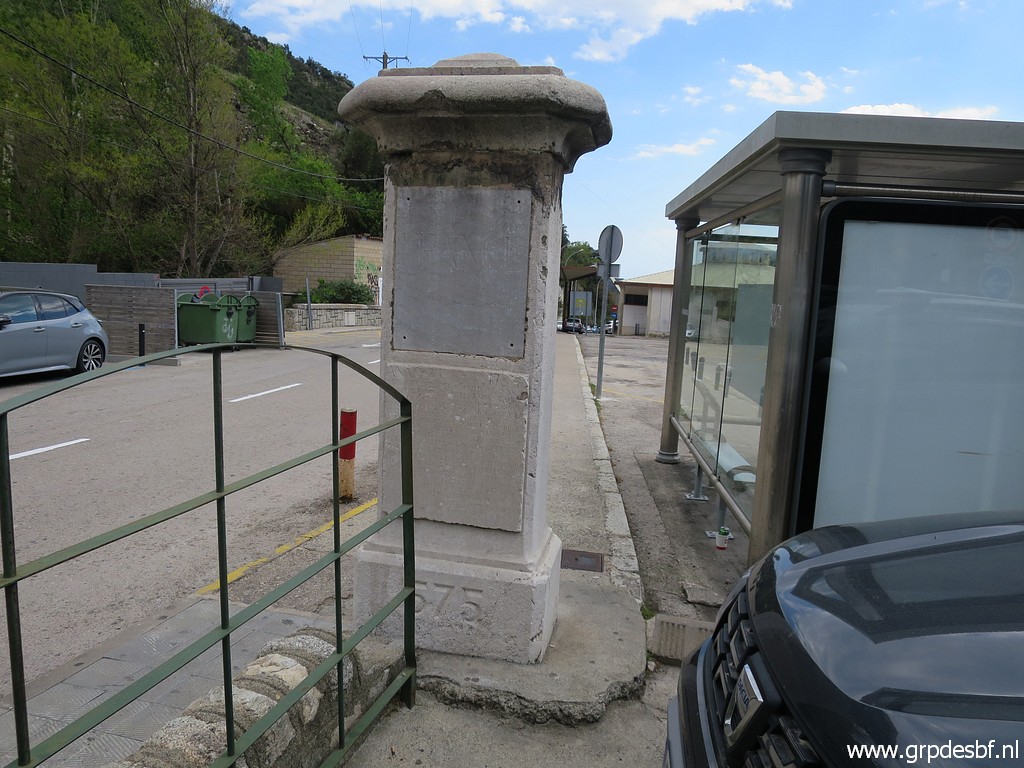
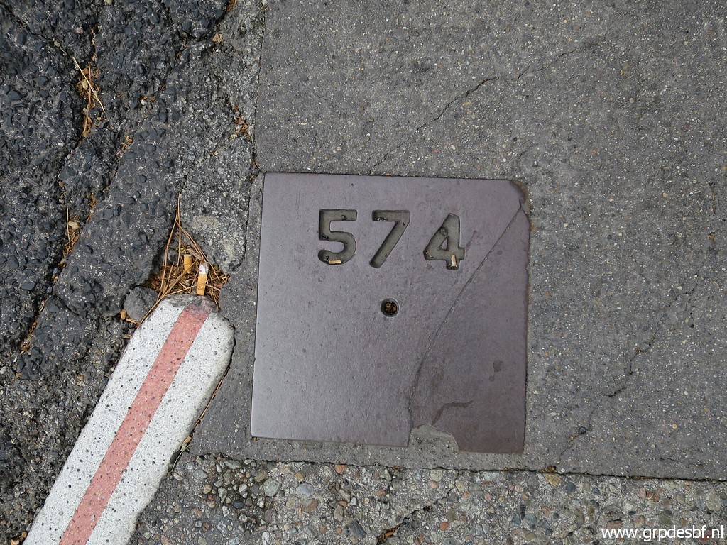
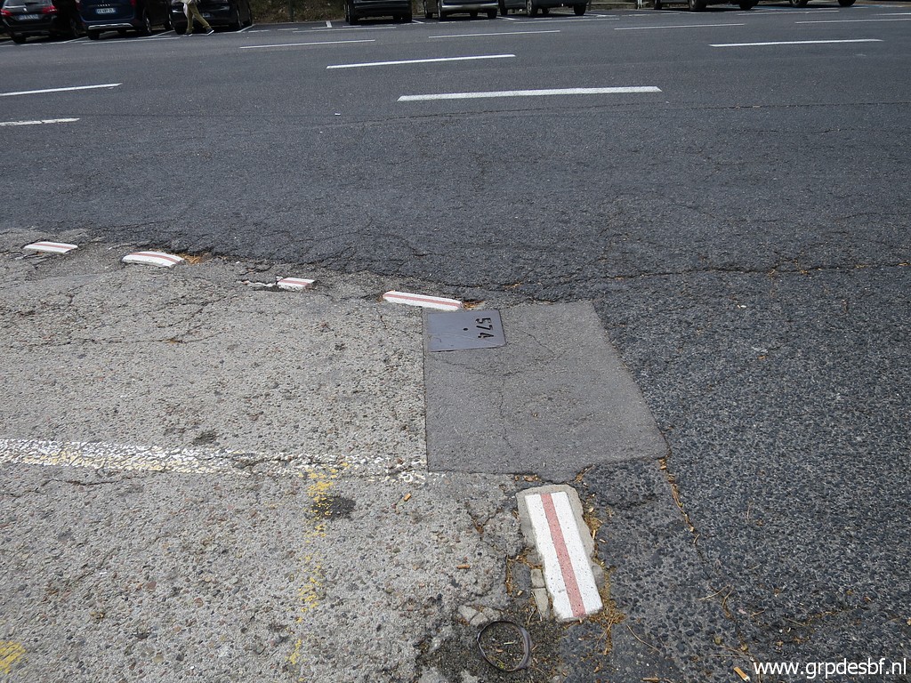 | brings you to bm574bis. This was once the spot of bm574 but after the widening of the road, bm575 was replaced ± 45m SSE. And at this spot this metal plate was put at groundlevel. (click photo to enlarge) |
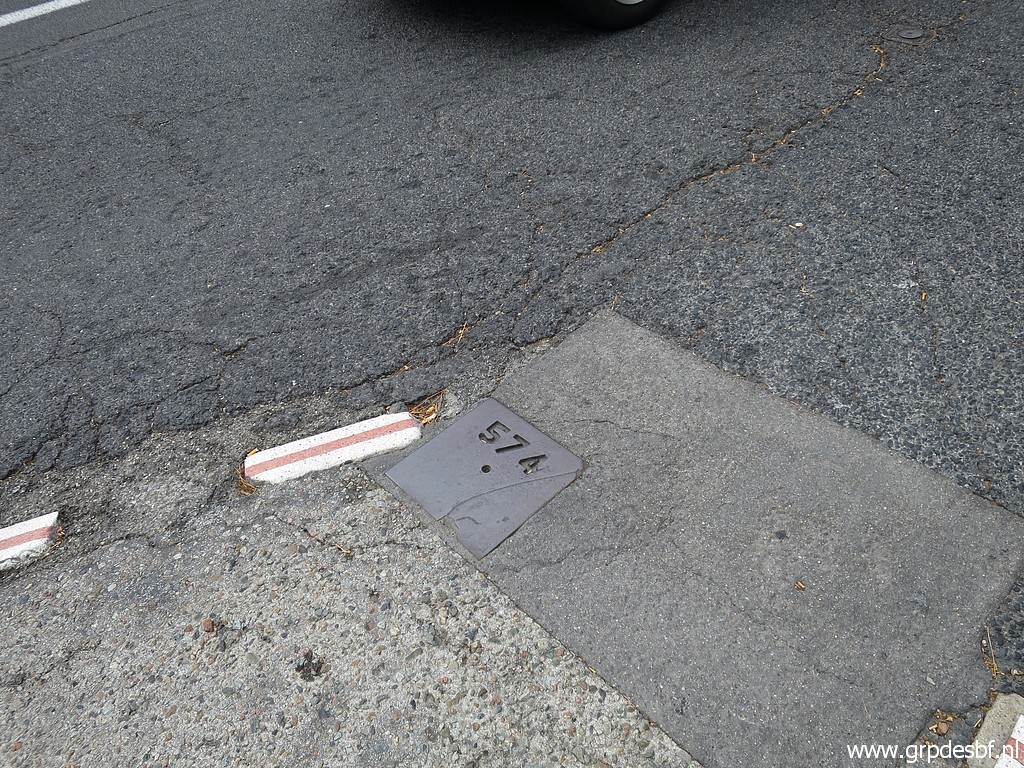 | It carries the no. 574 but we call it 574bis. (click photo to enlarge) |
 |
On an old postcard, we can see how the original position of bm574 was. |
 | Bm574bis with the borderline towards bm574. (click photo to enlarge) |
 | Bm574 (click photo to enlarge) |
|
I am suprised that this plate is back. It was damaged and disappeared or was taken away between 2012 and summer 2019. Carlos and Conchita Roca reported that in 2019. See this post for more information. This is my own picture of the missing bm574bis on 28-8-2019. |
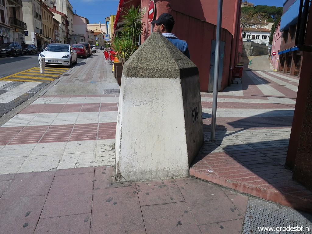 | Then to bm576. (click photo to enlarge) |
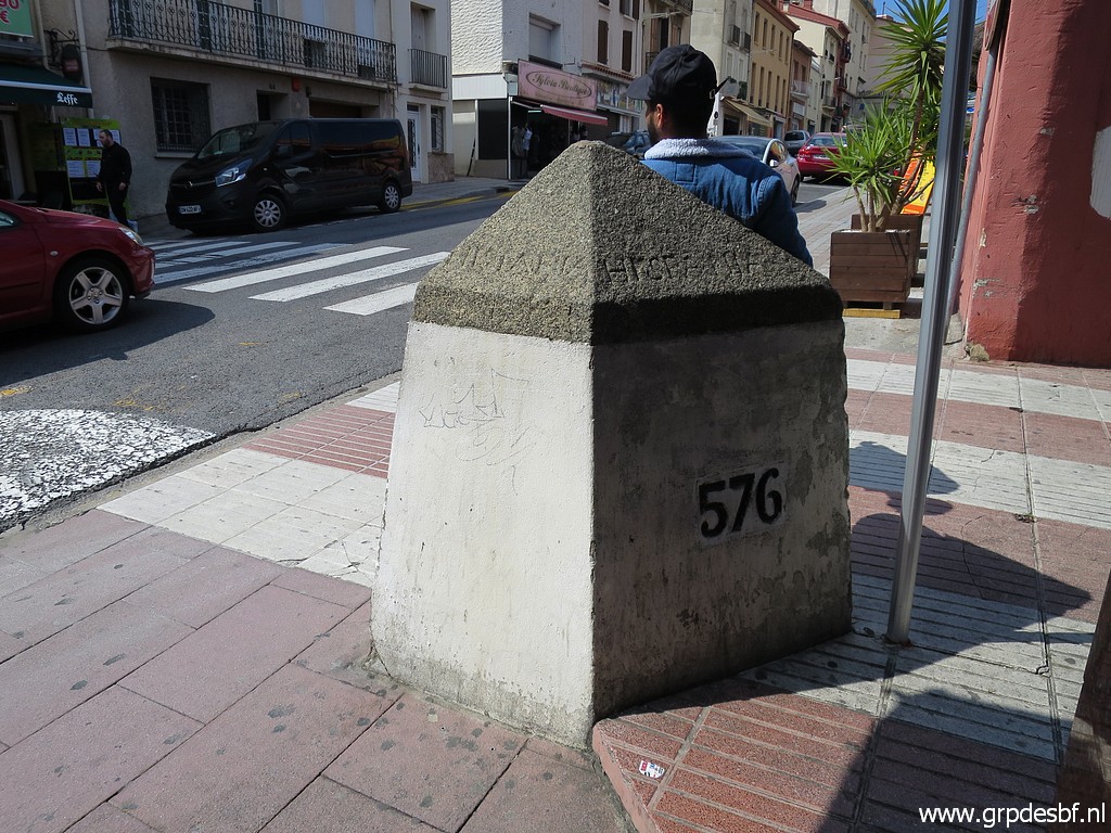 | Bm576 (click photo to enlarge) |
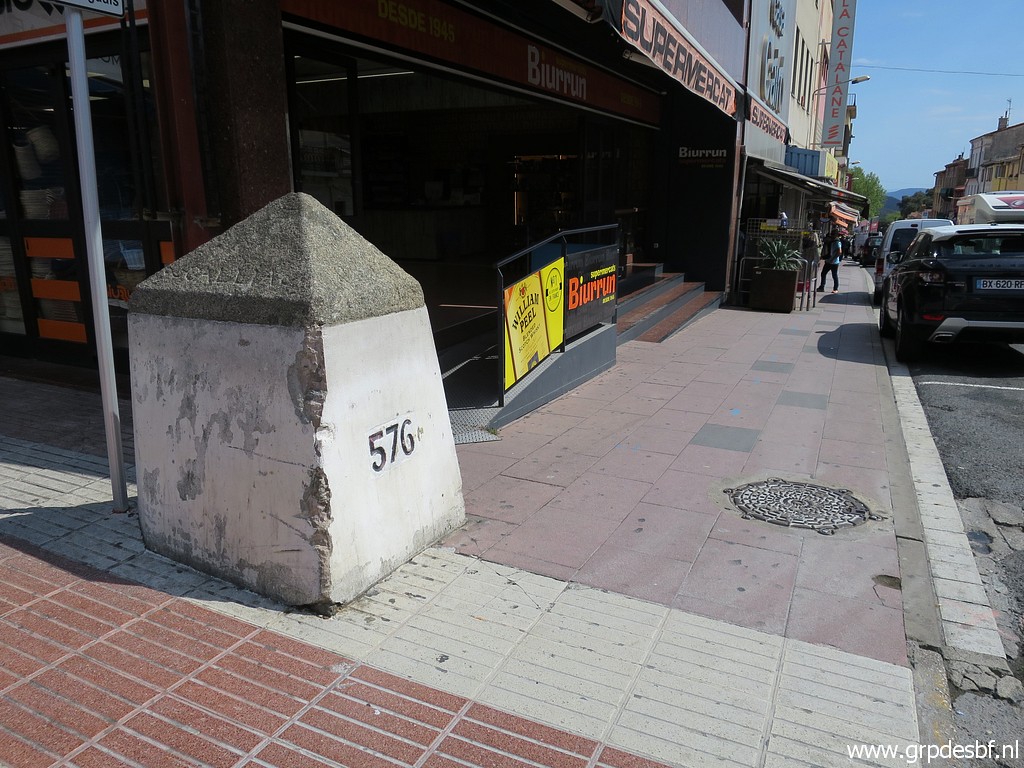 | Bm576 (click photo to enlarge) |
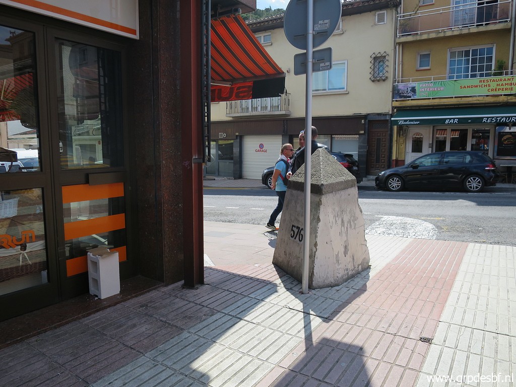 | Bm576 (click photo to enlarge) |
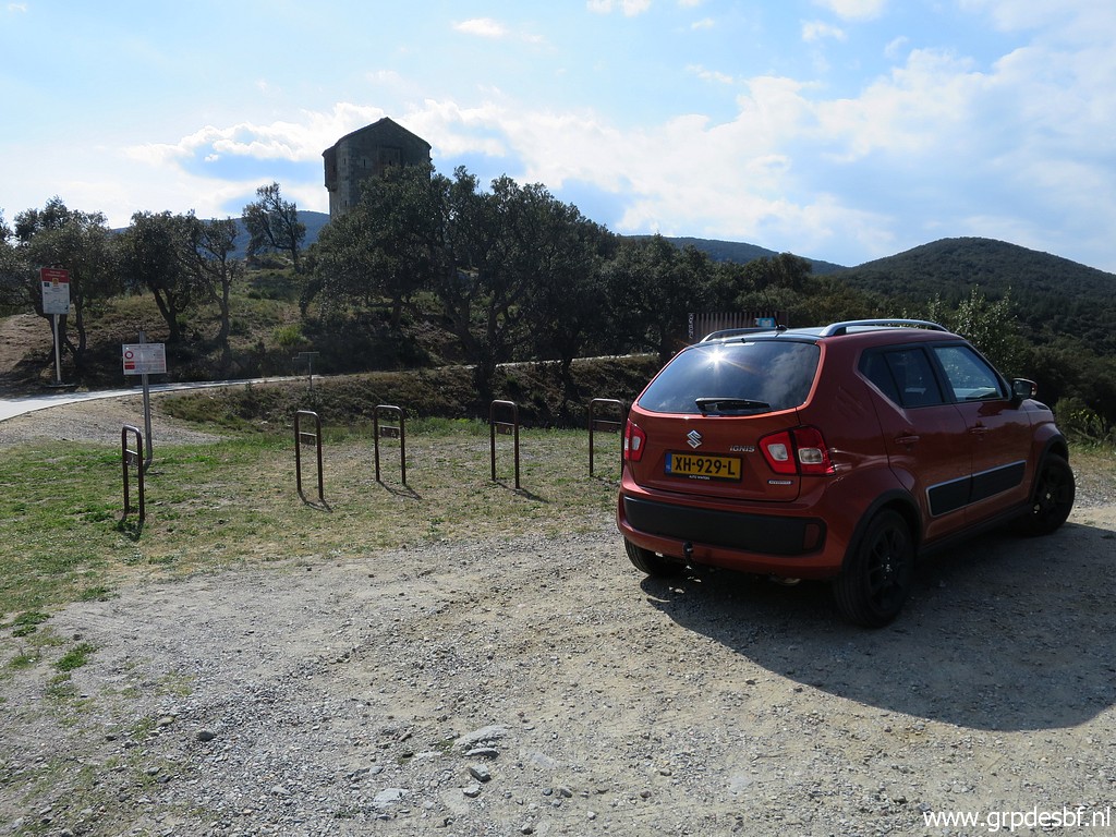 | Then I drive to the roman ruins of Panissars, E of Le Perthus. Target: the bordermarkers I skipped on 14-4-2023 because lack of time. (click photo to enlarge) |
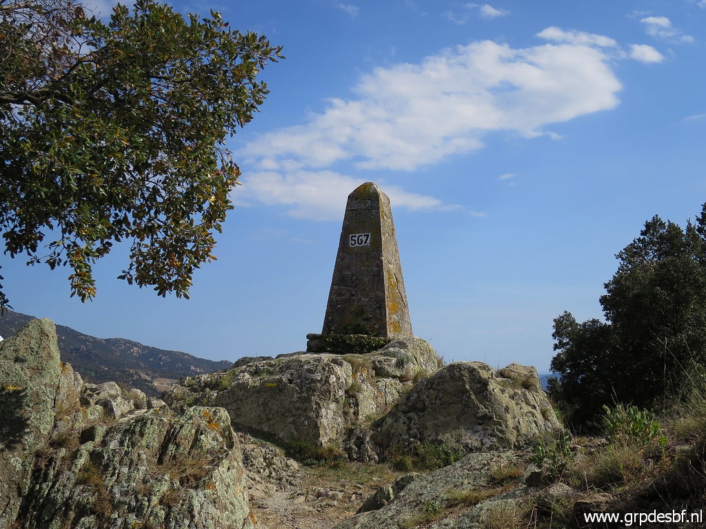 | First bm567. (click photo to enlarge) |
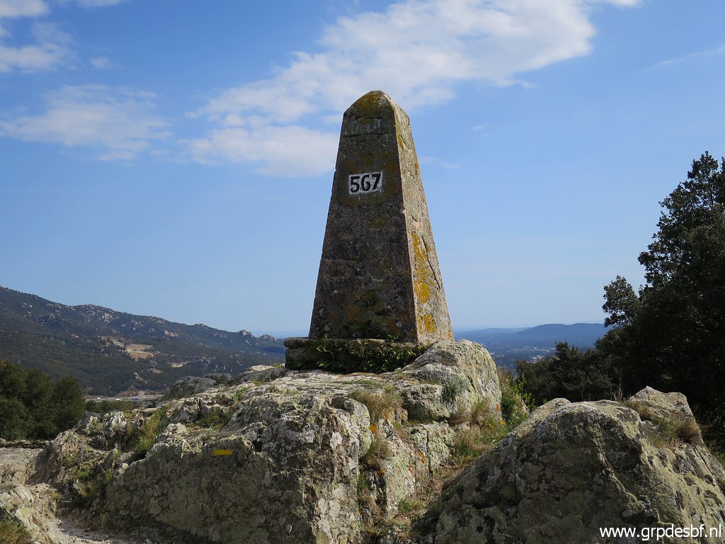 | Bm567 (click photo to enlarge) |
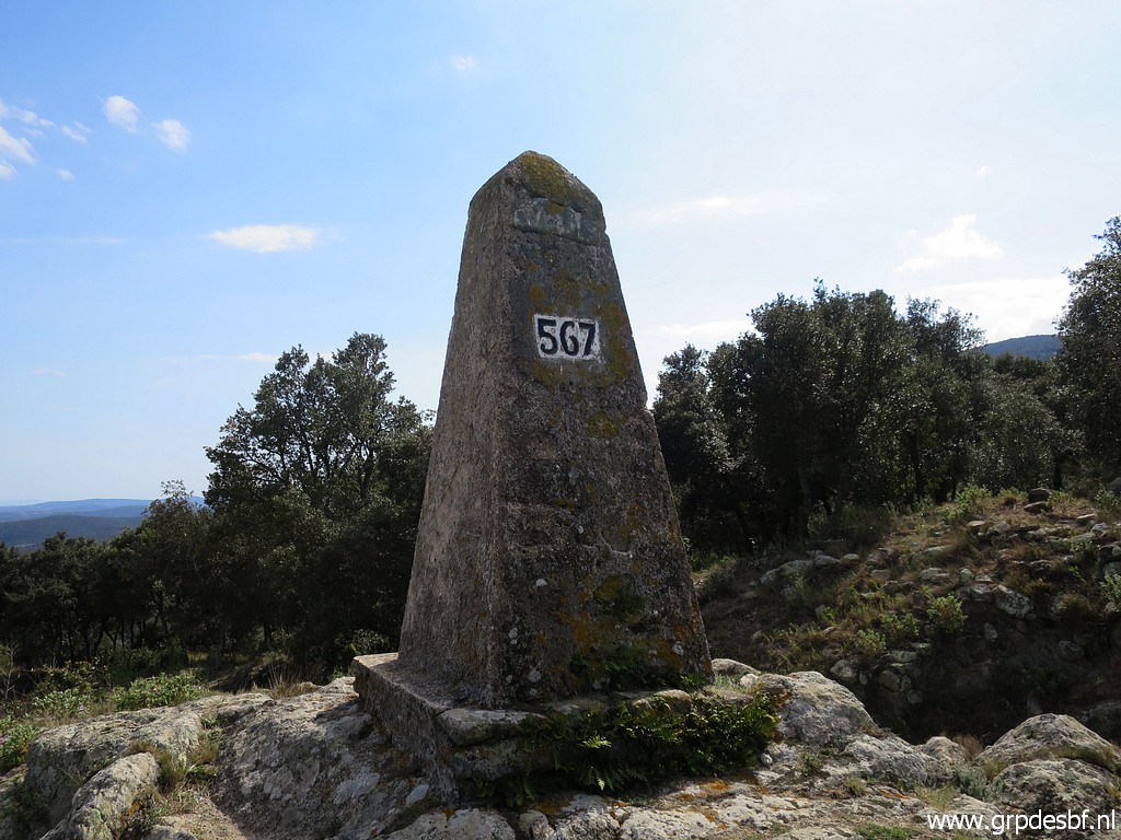 | Bm567 (click photo to enlarge) |
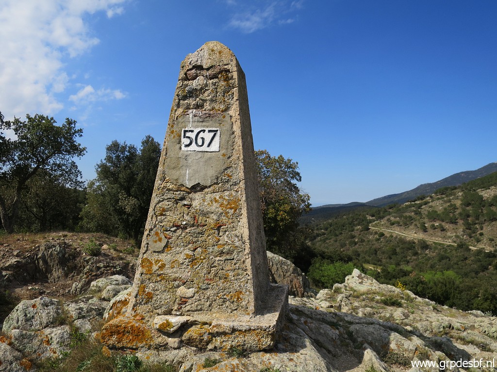 | Bm567 (click photo to enlarge) |
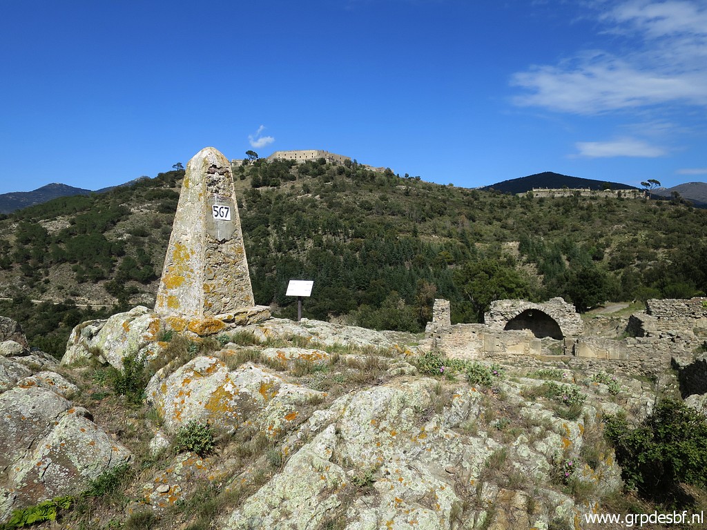 | Bm567 with Fort de Bellegarde in the background. (click photo to enlarge) |
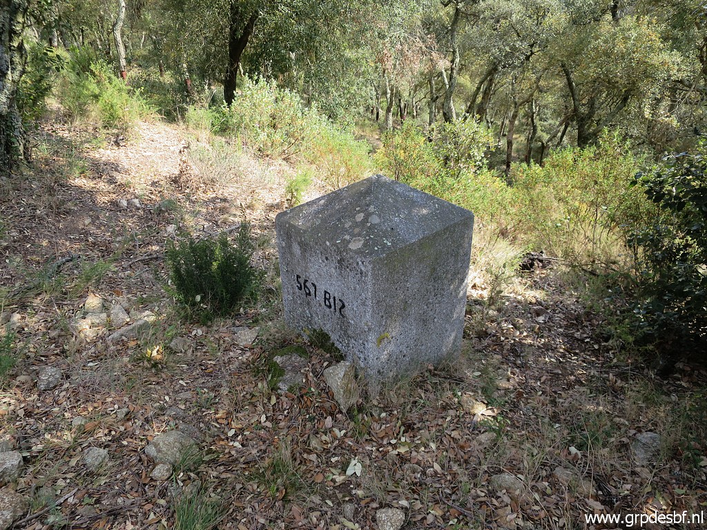 | Then bm567bis (click photo to enlarge) |
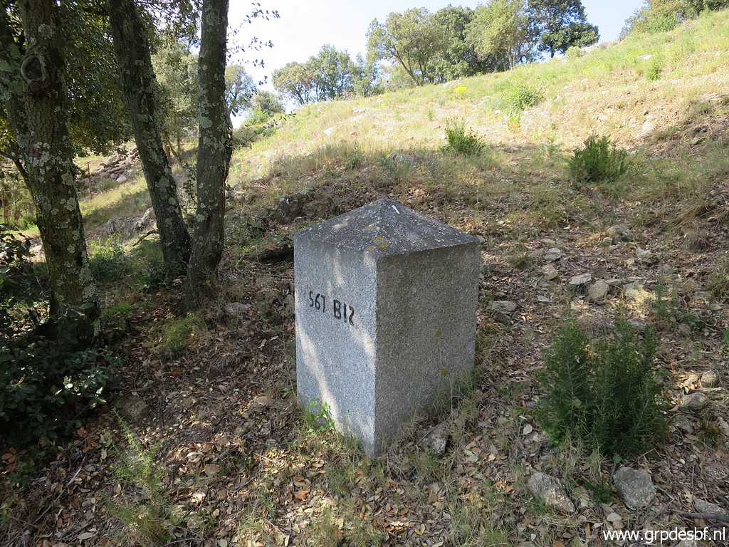 | Bm567bis (click photo to enlarge) |
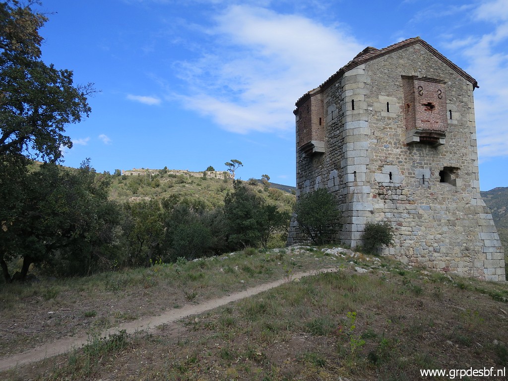 | S of this old military building (click photo to enlarge) |
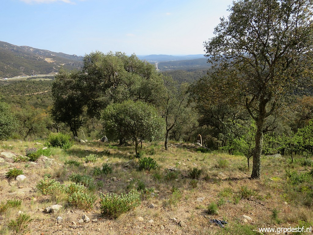 | there is bm568. (click photo to enlarge) |
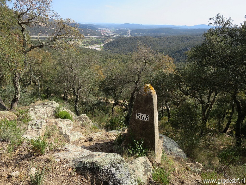 | Bm568 (click photo to enlarge) |
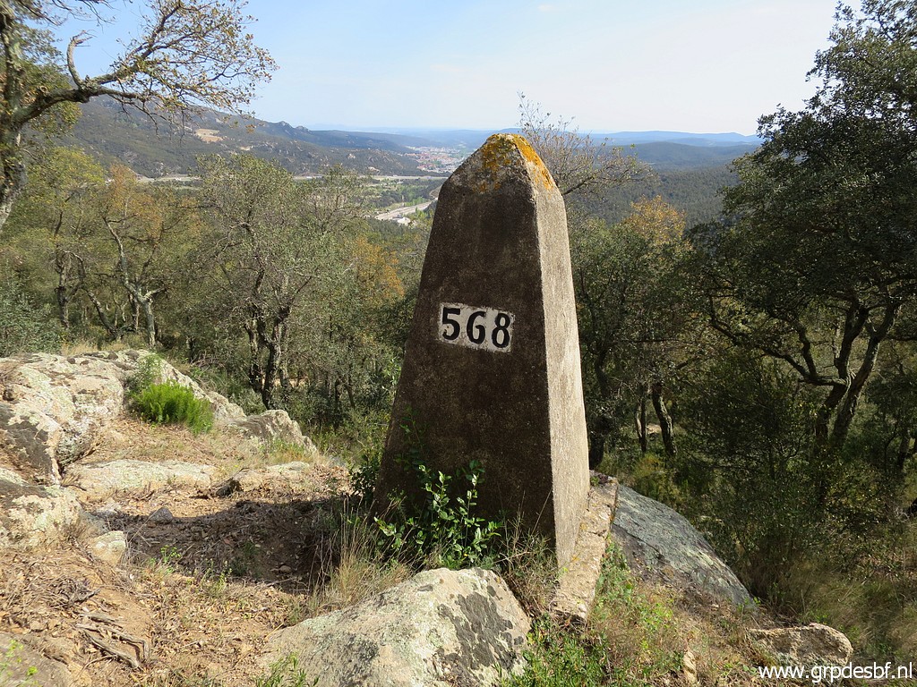 | Bm568 (click photo to enlarge) |
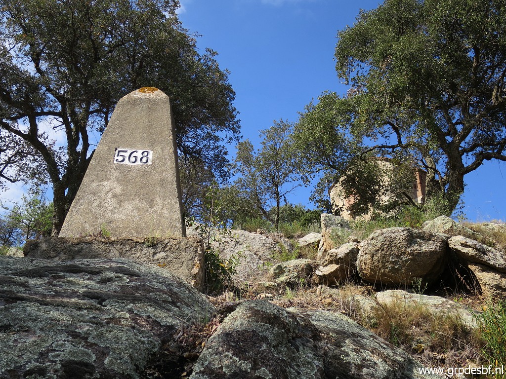 | Bm568 (click photo to enlarge) |
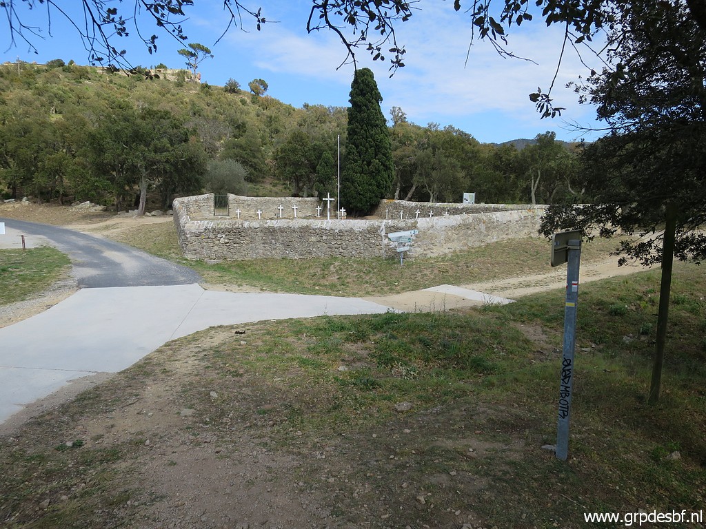 | Besides an old military cemetary (click photo to enlarge) |
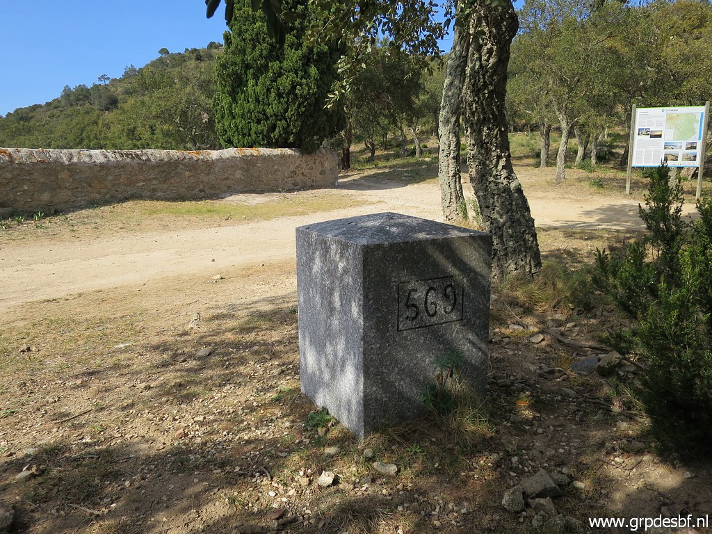 | there is bm569 (click photo to enlarge) |
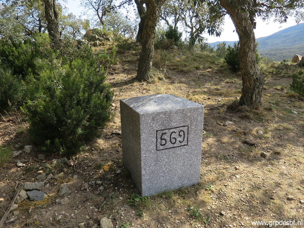 | Bm569 (click photo to enlarge) |
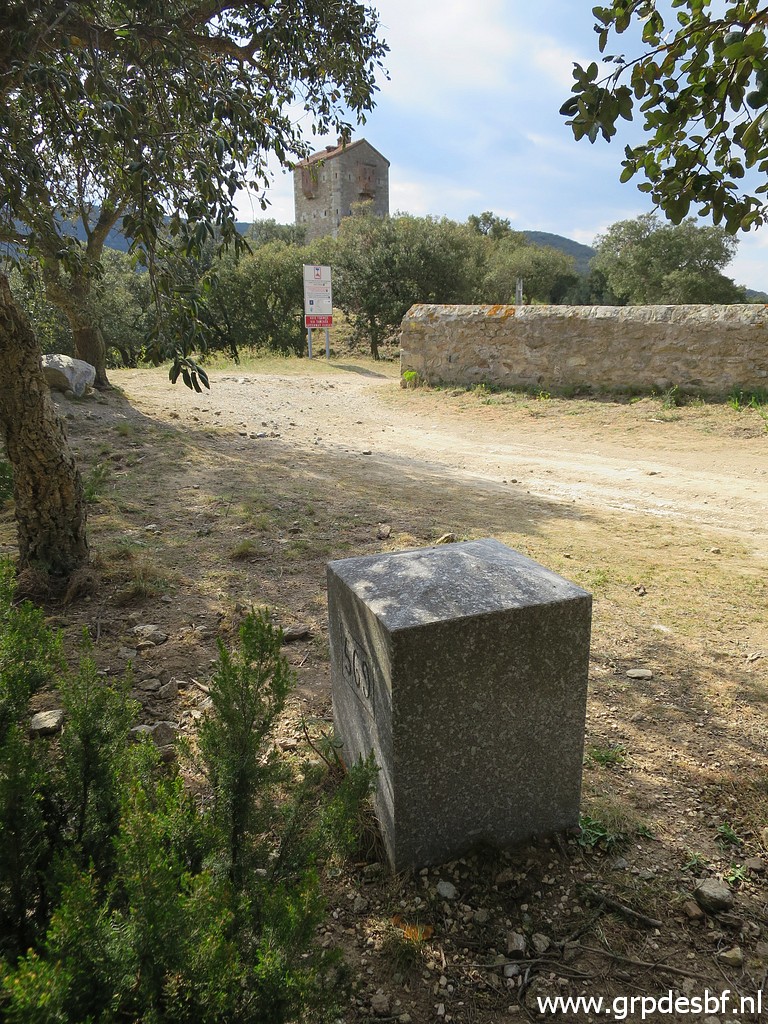 | Bm569 (click photo to enlarge) |
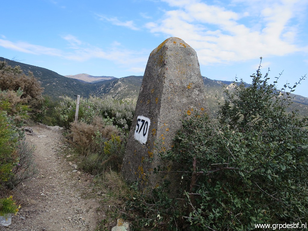 | Around Fort de Bellegarde are several bordermarkers, this is bm570. (click photo to enlarge) |
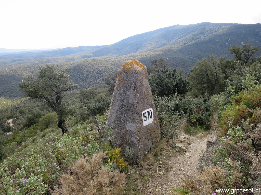 | Bm570 (click photo to enlarge) |
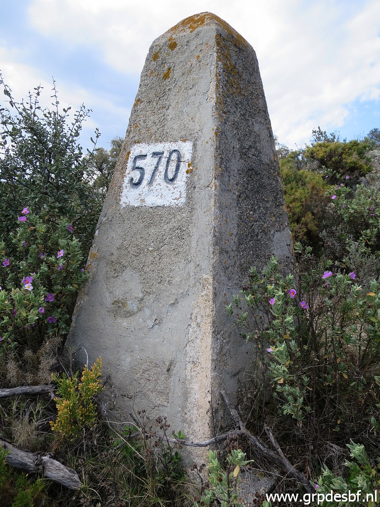 | Bm570 (click photo to enlarge) |
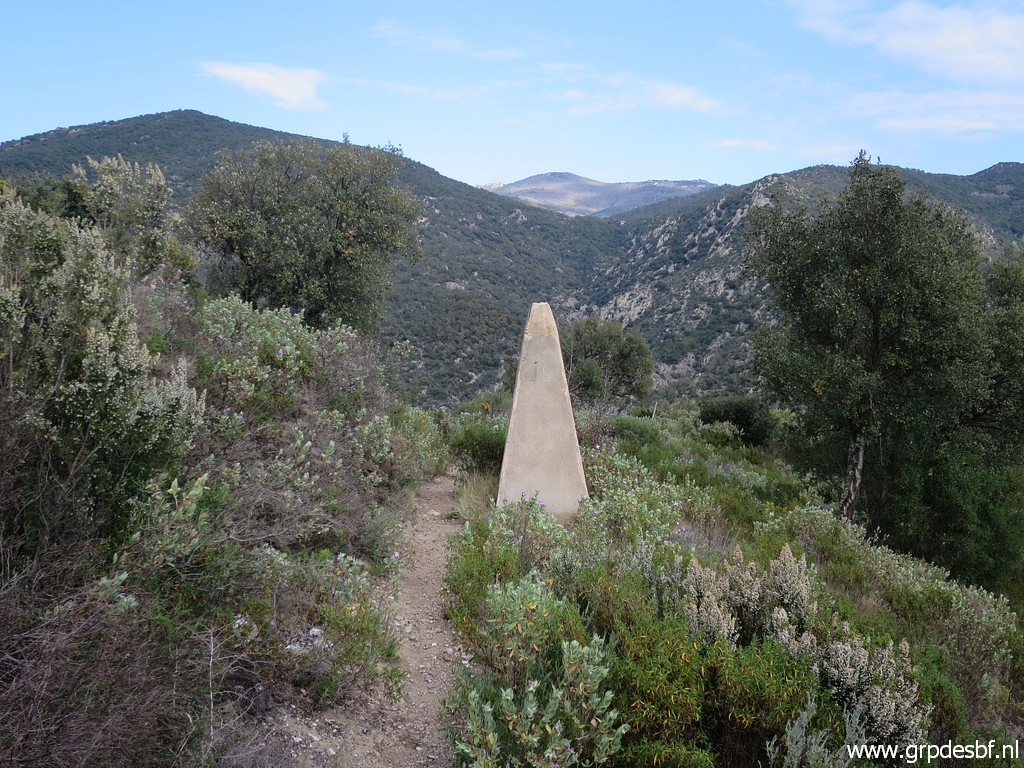 | Further on bm571. (click photo to enlarge) |
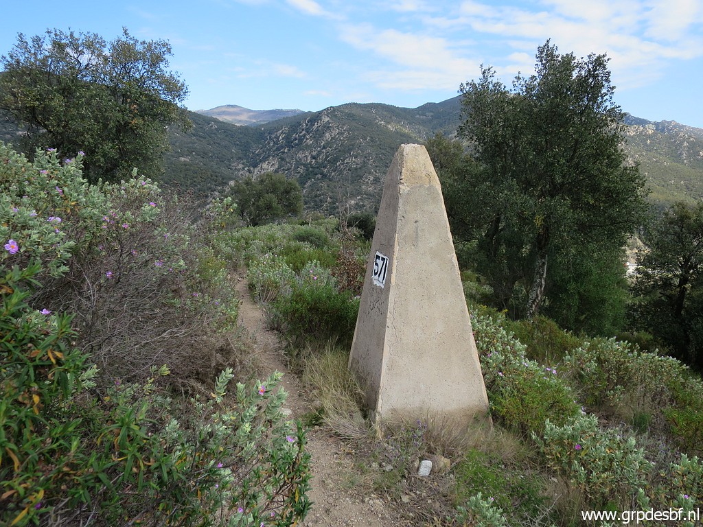 | Bm571 (click photo to enlarge) |
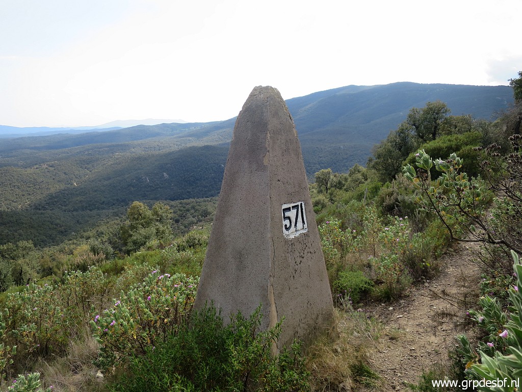 | Bm571 (click photo to enlarge) |
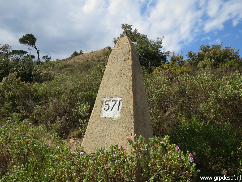 | Bm571 (click photo to enlarge) |
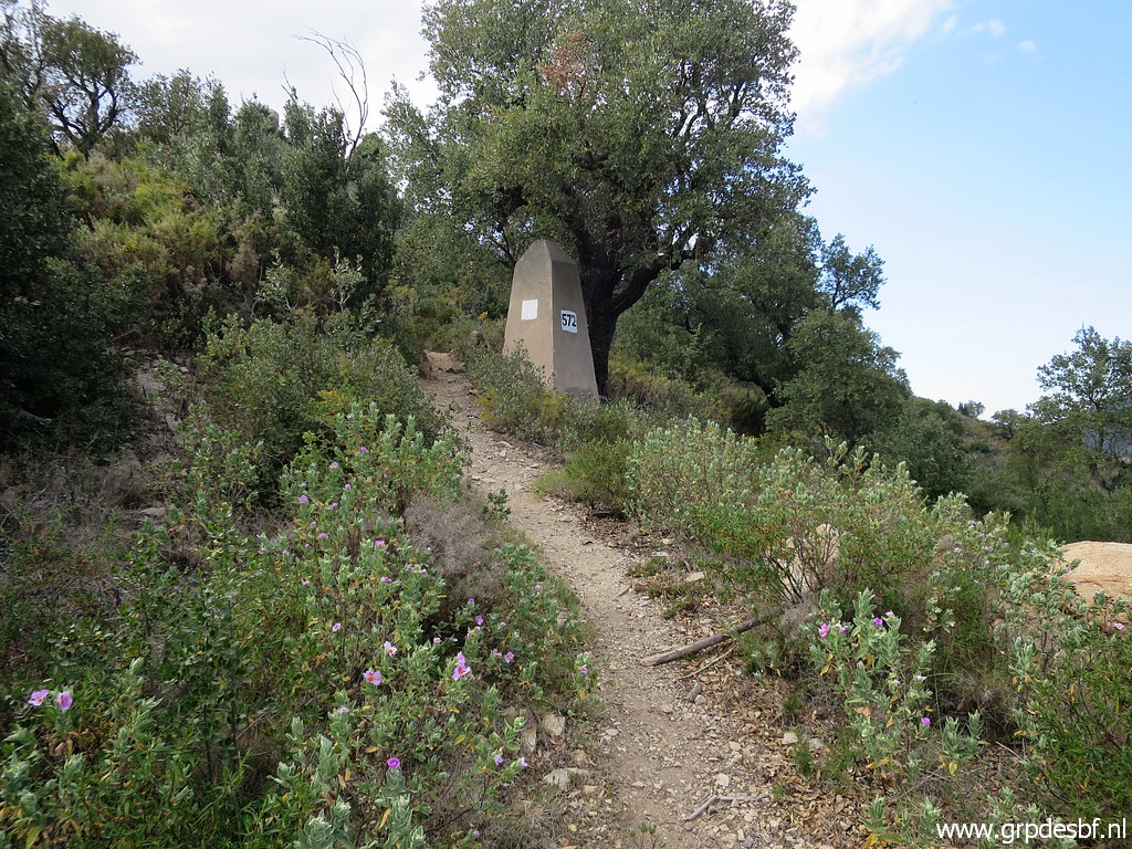 | A bit uphill: bm572. (click photo to enlarge) |
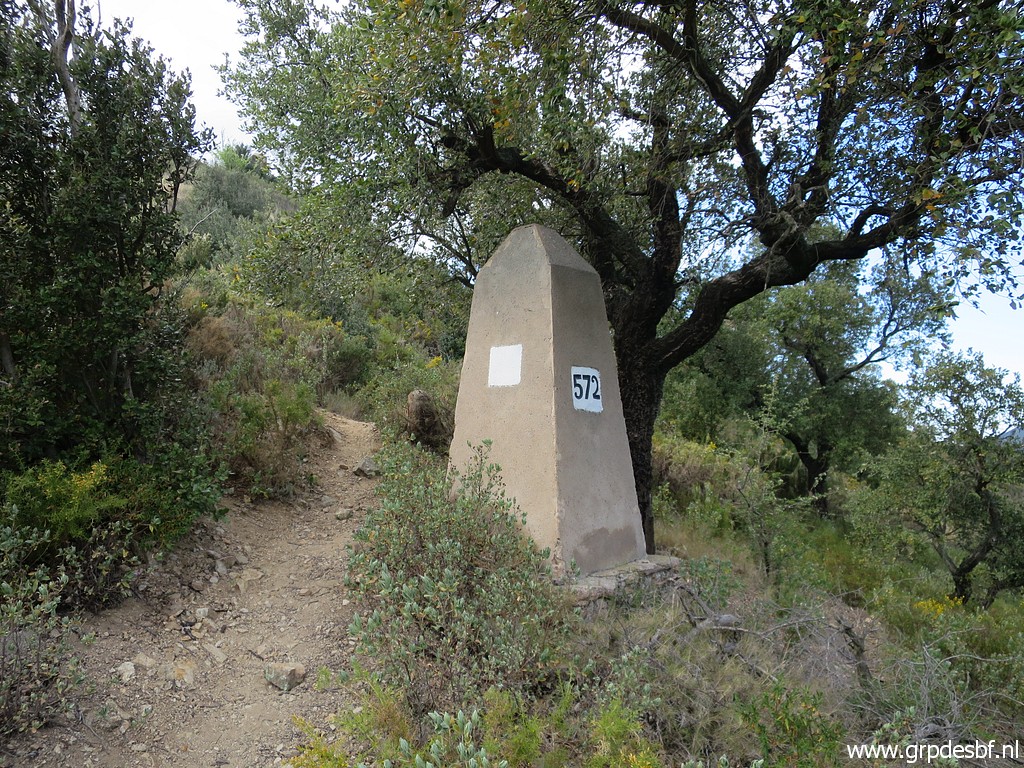 | Bm572 (click photo to enlarge) |
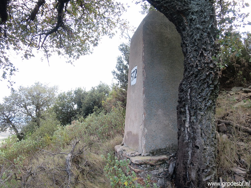 | Bm572 (click photo to enlarge) |
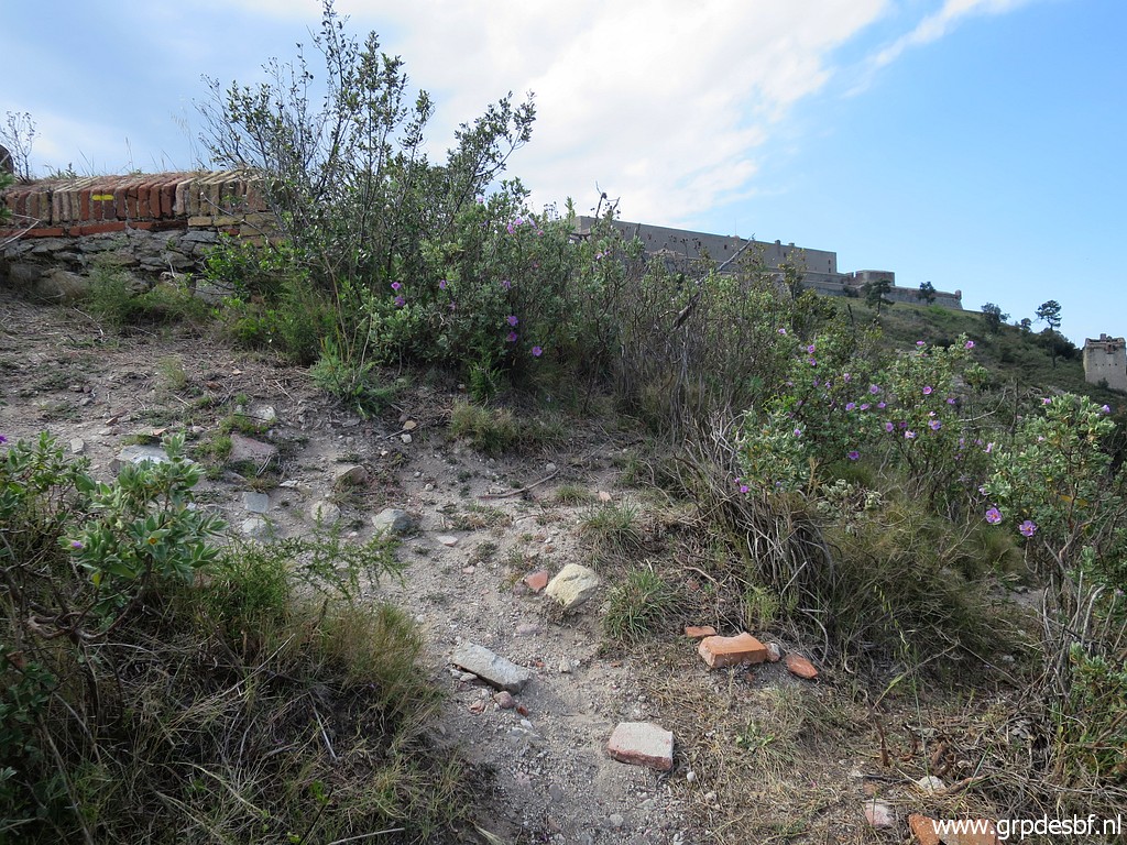 | This is the spot where (click photo to enlarge) |
 | the descent to bm573 starts. (click photo to enlarge) |
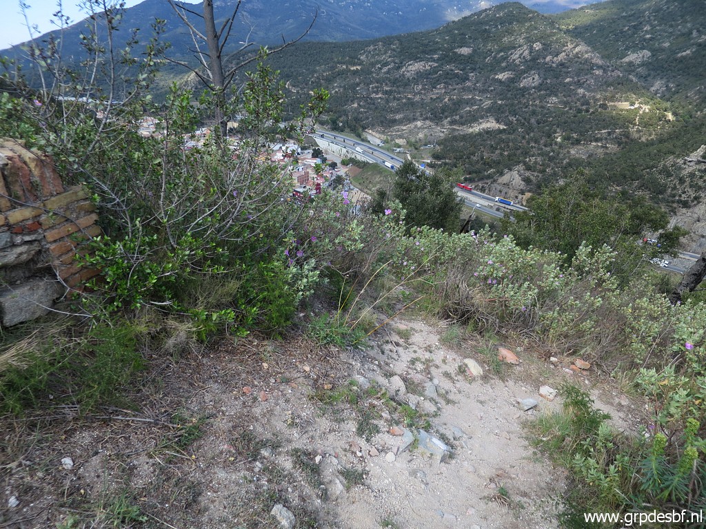
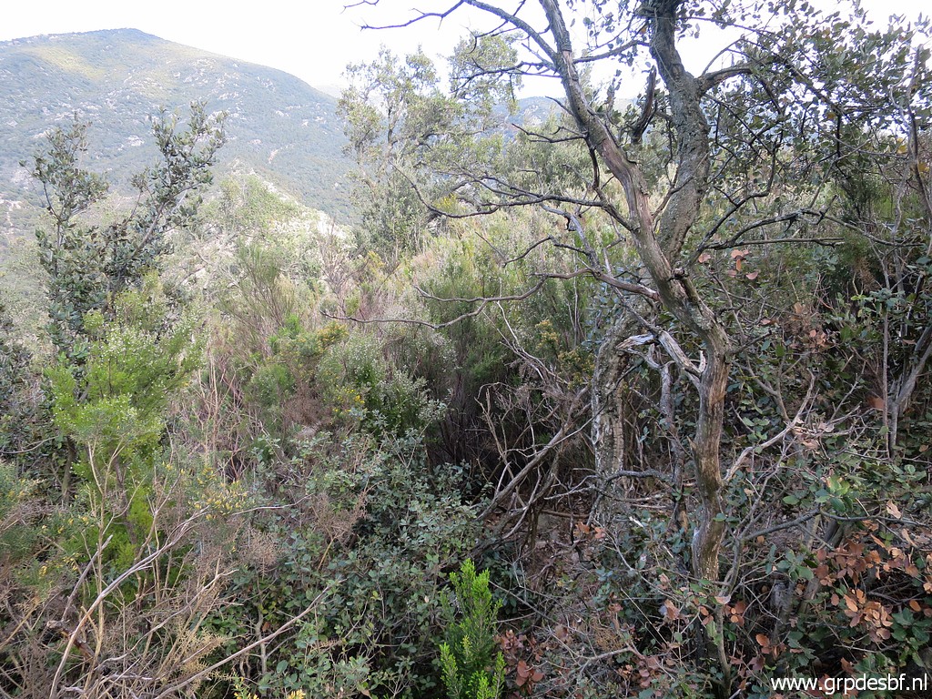 | But the marquis is dense (click photo to enlarge) |
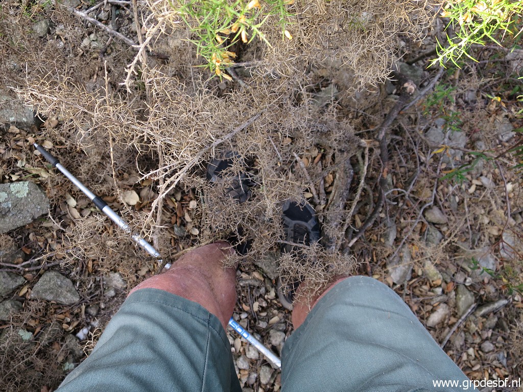 | and my legs are not protected. I was here a few years ago with Carlos and Conchita on 31-8-2019 and then we reached bm573. So only 4 years ago and I decide to skip this one. (click photo to enlarge) |
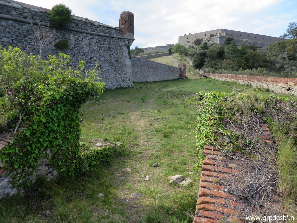 | Through the Fort-premises back to my car and to the camping. End of this bordermarker-trip, the next day I will start travelling back home in 3 days. (click photo to enlarge) |
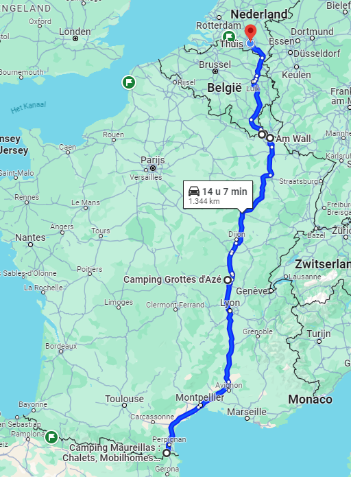 |
Day 1: from Maurillas to the tranquil camping des Grottes d'Azé Day 2: continuing to hotel De Brauhotel in Bascharage in Luxembourg Day 3: together with Marc van der Steen joining a municipal bordermarker-inspection on the frlu-border including a bbq. 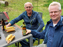 And then back to home-sweet-home. |