|
The
bordermarkers of the Pyrenees : the GRPdesBF
 |
|||||||||||||||||||||||||||||||||||||||||||||||||||||||||||||||||||
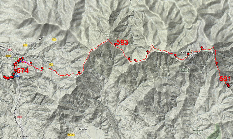
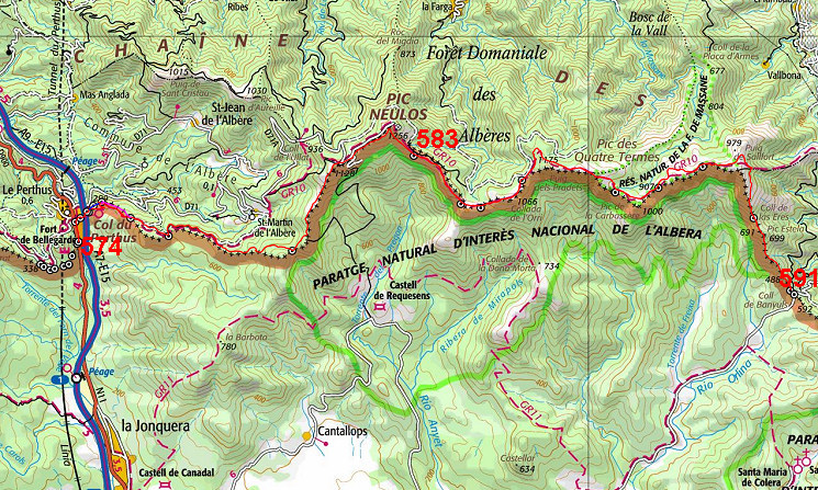
| - stage 51 - Col de Perthus - Col de Banyuls (bm574-591) |
 |
||||||||||||||||||||||||||||||||||||||||||||||||||||||||||||||||||
 |
|||||||||||||||||||||||||||||||||||||||||||||||||||||||||||||||||||
| Only
the bordermarkers along this stage are shown (and some adjoining ones).
The main route is red,
the variants have other colors. The main route provides a smooth
on-going route along most bordermarkers, the variants give access to
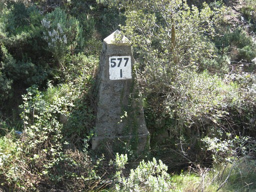
the remaining bordermarkers. See the GRPdesBF-principles. Click here for an fullscreen interactive map. In short A long stage with - in clear weather - magnificent views. With some directions and making use of existing waymarking (GR10 for a large part), wayfinding is not difficult. From the bordertown of Le Perthus, the main route soon starts to climb the hills and will gradually keep climbing along and underneath the borderridge until the hill-summit of Pic Neulos (1256m). From Pic Neulos onwards you might already spot the Mediterranean far away. From Pic Neulos, a direct descent SE brings you in 0,8km to bm583. From there, the GR10 takes you gently along and underneath the borderridge (bm583-589) until Puig de Sallfort, treating you with some of the best panorama's of the entire GRPdesBF. From Puig de Sallfort, the route descends S - passing bm590 - to Col de Banyuls (bm591) There are two short variants, both in the beginning of this stage: Variant 1: is a climb up through the bush to bm579 and continuing over the ridge to pick up the main route again further on Variant 2: shortly afterwards, there's this second dive into the bush, climbing in a few minutes directly to bm579bis and then continuing along a trail SEE to the main route at bm580 Considerations Be careful about your water supply. It can be very hot here and dehydration is treacherous. Water is available in the tiny (private) garden next to bm577 and from the stream running along bm577 I. But further on, water gets scarce until Pic Neulos. But: at the maps, we see a source 400m NNW (and 100m lower) of bm582. Between Pic Neulos and Puig de Sallfort, we spot several sources on the French side, for example Font de la Tanyareda (250 NW of bm583) and Font de l'Orri (250m NE of bm584). Just E of Puig de Sallfort - where the route bends to the S - there's the last source (it's signposted on the trail) in this stage. Remember to refuel also for the next day! There are lots of places where you could bivouac 'en route', providing there's water or you bring water. In addition there are two cabins: the first is Refuge de Tanyareda just beyond bm583 (source nearby). The second is at the end: the "Refugi de Coll de Banyuls", 50m NNE of Col de Banyuls. No water around here! Factsheet
Gps-files needed
Useful You might check the relevant webpages in the 'All markers'-section and 'All my trips'-section. They provide pictures of the bordermarkers and additional information. Version 01 March 2014. If you have any correction, suggestion etcetera -> please email me: eefberns@grenspalen.nl MAPS AND DIRECTIONS March 2014. Maps and directions yet to be worked out in more detail. You might check the relevant webpages in the 'All markers'-section and 'All my trips'-section for pictures of the bordermarkers and wayfinding-issues. Print your own maps It's easy to print your own - custom made - maps with the GRPdesBF-route and the bordermarkers on them. See: Print your own maps |
|||||||||||||||||||||||||||||||||||||||||||||||||||||||||||||||||||
 |
|||||||||||||||||||||||||||||||||||||||||||||||||||||||||||||||||||
|
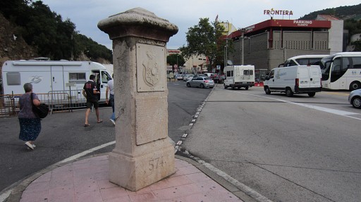
Bm574 |
||||||||||||||||||||||||||||||||||||||||||||||||||||||||||||||||||
|
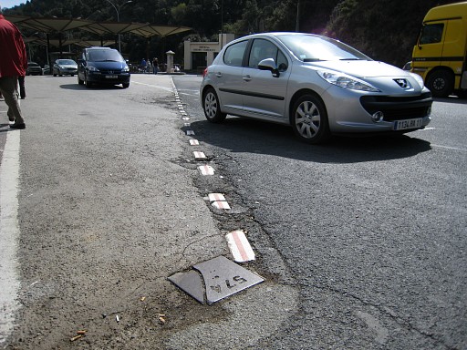
Bm574bis |
||||||||||||||||||||||||||||||||||||||||||||||||||||||||||||||||||
|
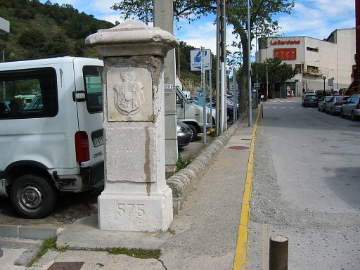
Bm575 |
||||||||||||||||||||||||||||||||||||||||||||||||||||||||||||||||||
|
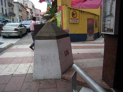
Bm576 |
||||||||||||||||||||||||||||||||||||||||||||||||||||||||||||||||||
|
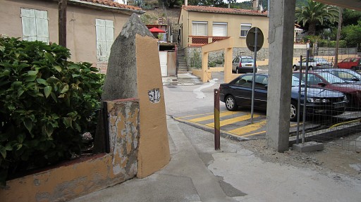
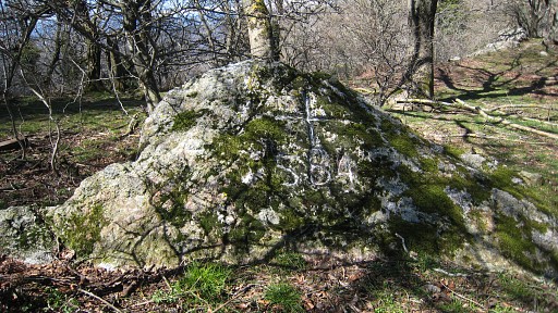
bm577 |
||||||||||||||||||||||||||||||||||||||||||||||||||||||||||||||||||
|
Bm577 I |
||||||||||||||||||||||||||||||||||||||||||||||||||||||||||||||||||
|
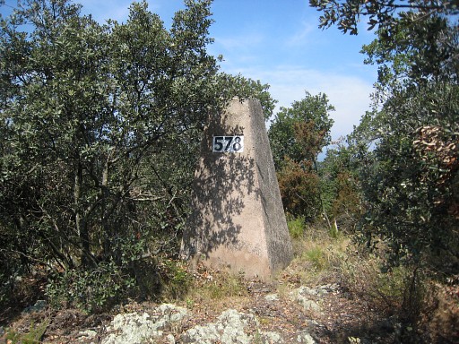
Bm578 |
||||||||||||||||||||||||||||||||||||||||||||||||||||||||||||||||||
|
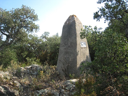
Variant 1 via bm579 Bm579 |
||||||||||||||||||||||||||||||||||||||||||||||||||||||||||||||||||
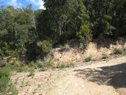 |
Back on the main route, this is the bend in the dirtroad |
||||||||||||||||||||||||||||||||||||||||||||||||||||||||||||||||||
|
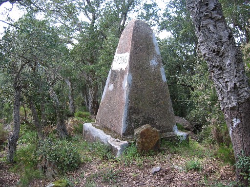
Variant 2 via bm579bis Bm579bis |
||||||||||||||||||||||||||||||||||||||||||||||||||||||||||||||||||
|
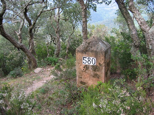
Bm580 |
||||||||||||||||||||||||||||||||||||||||||||||||||||||||||||||||||
|
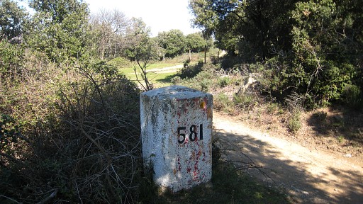
Bm581 |
||||||||||||||||||||||||||||||||||||||||||||||||||||||||||||||||||
|
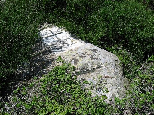
Bm582 |
||||||||||||||||||||||||||||||||||||||||||||||||||||||||||||||||||
|
Bm583 |
||||||||||||||||||||||||||||||||||||||||||||||||||||||||||||||||||
|
Bm584 |
||||||||||||||||||||||||||||||||||||||||||||||||||||||||||||||||||
|
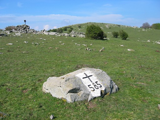
Bm585 |
||||||||||||||||||||||||||||||||||||||||||||||||||||||||||||||||||
|
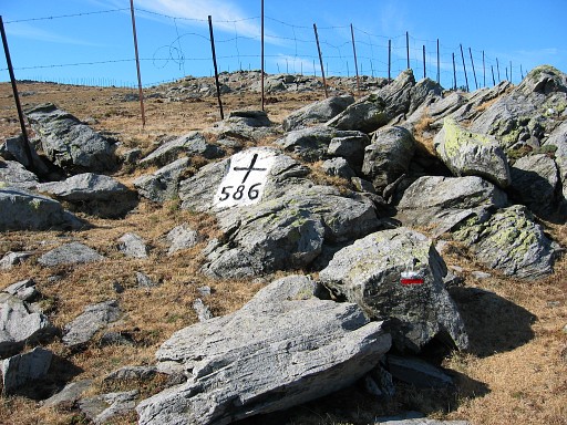
Bm586 |
||||||||||||||||||||||||||||||||||||||||||||||||||||||||||||||||||
|
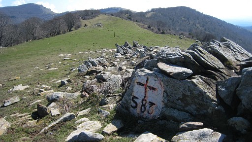
Bm587 |
||||||||||||||||||||||||||||||||||||||||||||||||||||||||||||||||||
|
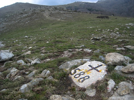
Bm588 |
||||||||||||||||||||||||||||||||||||||||||||||||||||||||||||||||||
|
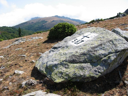
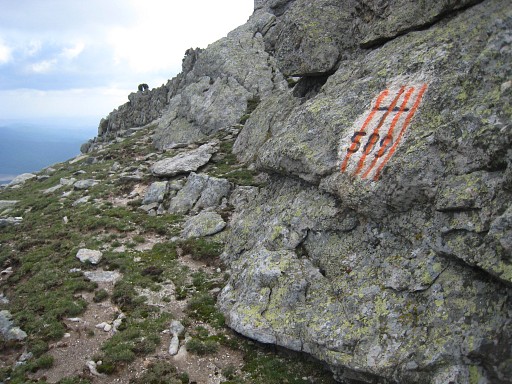
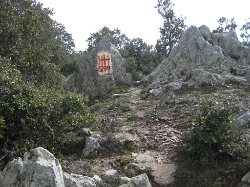
Bm589 |
||||||||||||||||||||||||||||||||||||||||||||||||||||||||||||||||||
|
Bm590 |
||||||||||||||||||||||||||||||||||||||||||||||||||||||||||||||||||
|
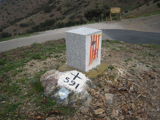
Bm591 |
||||||||||||||||||||||||||||||||||||||||||||||||||||||||||||||||||