The bordermarkers of the Pyrenees : all my trips | |
| - 18 august
2001 - |
 |
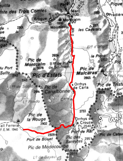 |
Trip-summary Part of a 8-days hike from l'Hospitalet-près-l'Andorre to Aulais-les-Bains, right through Andorra. In this way I linked two GR10-stopovers in a southern variant, enabling me to explore the tripoints of Andorra. On this day I started from Pla de Bouet, crossed the Port the Bouet - looking in vain for bm426 - and continued in a long descent to Mounicou. Walking: 7 hours. Ascending: ± 600 meters. Descending: ± 1400 meters. |
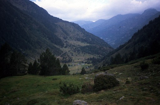 |
Down below is the Pla deBouet where I started. I'm heading for the Port de Bouet. |
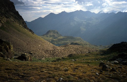 |
Port de Bouet At the pass looking into France. The map shows bordermarker 426 at this pass but I could't find the borderstone. I didn't yet know that there are also bordercrosses in the Pyrenees: a cross and number engraved in a rock. |
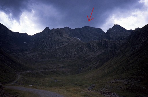 |
Pic de Medecourbe After a steep descent I reached the valley-floor. The Pic de Medecourbe with his gentle curve is well visible from the north.. |
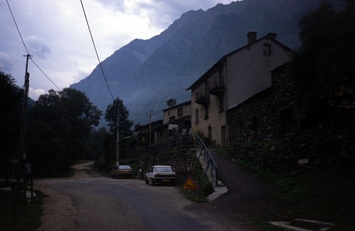 | Gîte d'Etappe in Mounica . |
 previous
trip next
trip previous
trip next
trip 
| |
